In late April, I mentioned I was working on a new version of my blog that would use PostGIS, and later changed my mind to using MySQL GIS Extension. A big part of the blog would be to mix content types together by geographical location – so that pictures, maps, content and stories about a particular piece of land would be grouped together, rather then spread out on increasingly disordered different parts of the blog.
The project never was abandoned but it kind of got put into recess when the summer and camping season got underway. I certainly did not want to s tragedy inside, screwing around code, and doing a lot of testing to implement which is a total re-write of the blog code, connected with a vastly different MySQL database then the existing code.
I have pretty much completed out my vision of what the new blog will look like, and the PHP code I wrote to convert over the data is done. I don’t expect to create any new features for it that are not already envisioned, but at the same time, not all the needed code is written.
Once the snows come and it’s cold out, I will spend more time working on the new blog code, safely tucked away in a seperate folder on my laptop’s webserver, and backed up on the secondary hard drive. While the new blog may be 6-8 months behind schedule, I will happy to get away from the somewhat broken and certainly outdated code that currently props up the existing blog – some of which dates back 2005 or earlier, when things were a lot different/
In the mean time, I am working on more new daily content, and make sure any day I don’t have anything new or interesting to post the blog, that we will at least have re-runs of some of the interesting content of days past. I am also going to look for new and interesting content using GIS data to produce Google Maps and other things of interest.
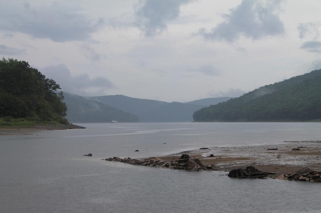
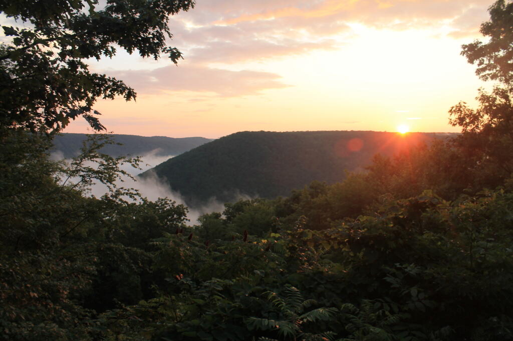
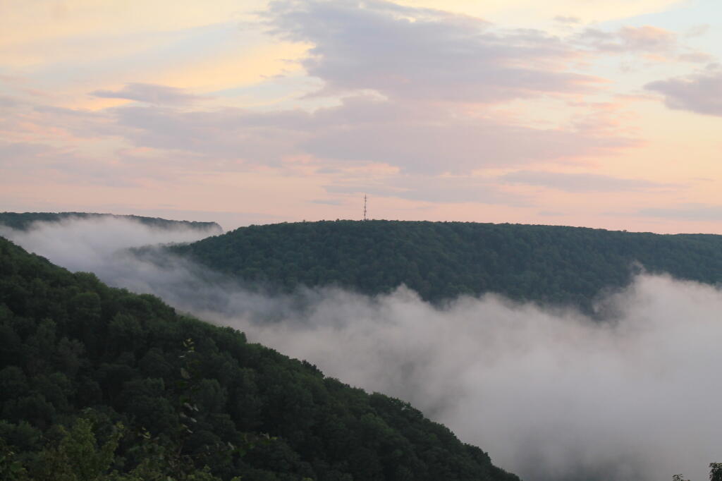
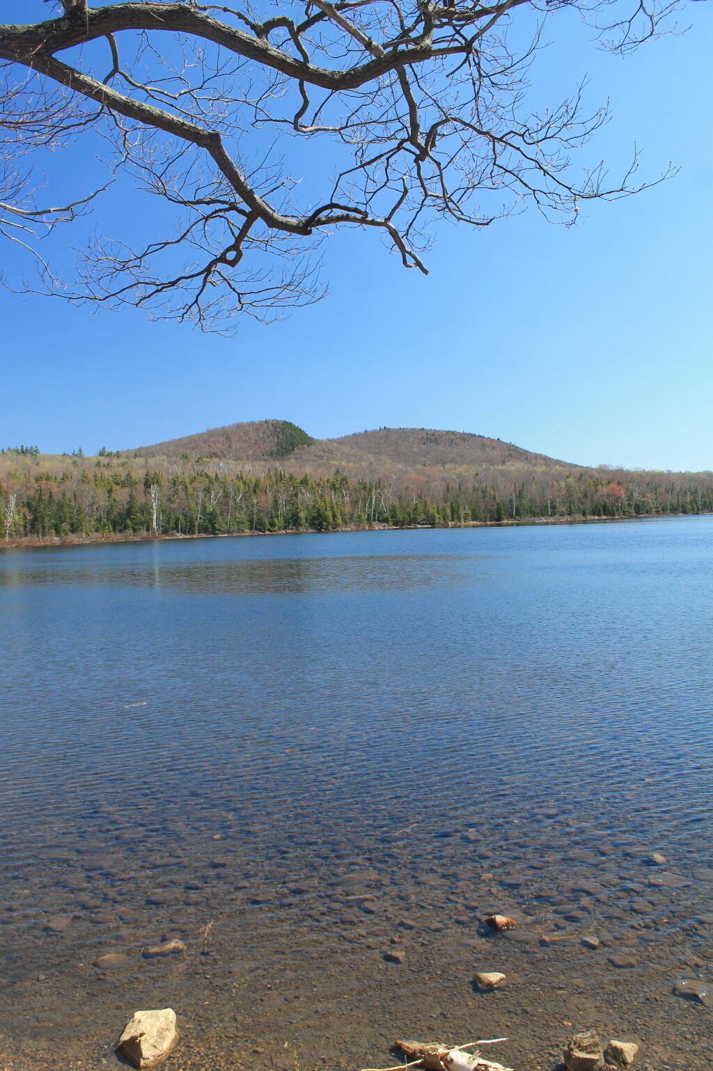
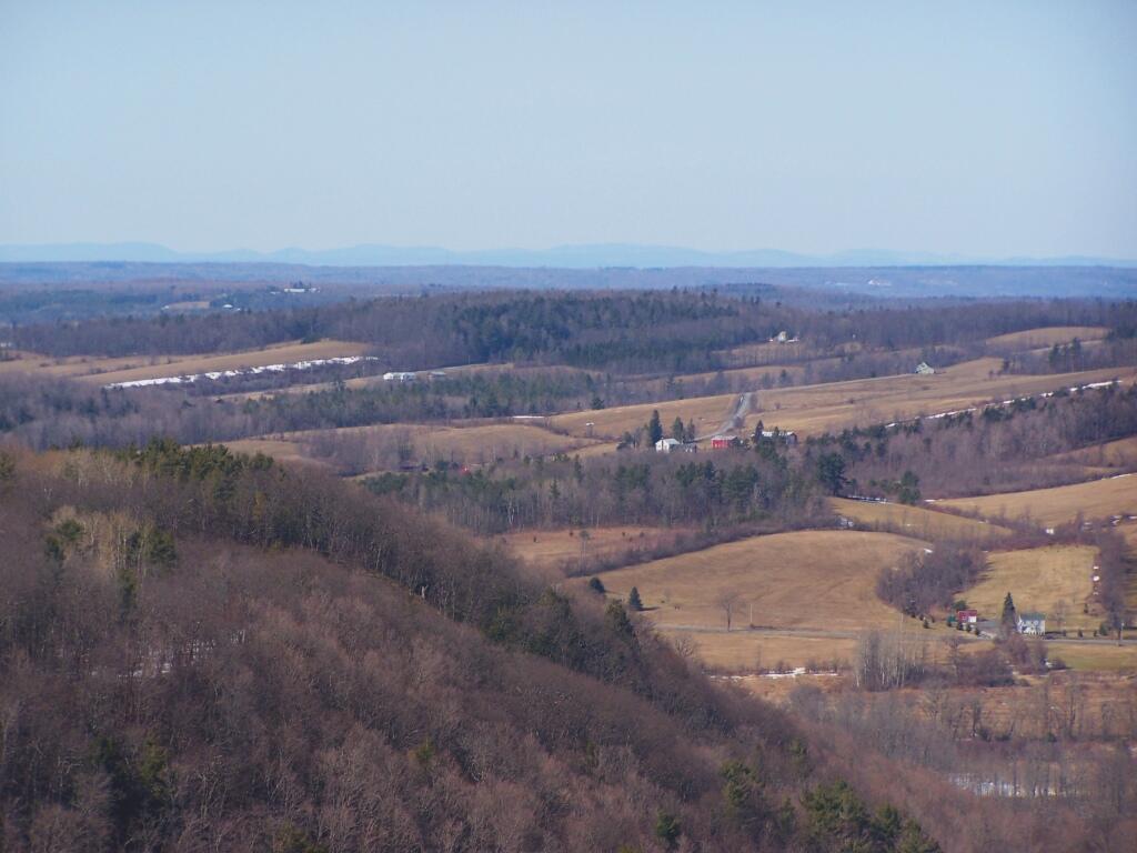
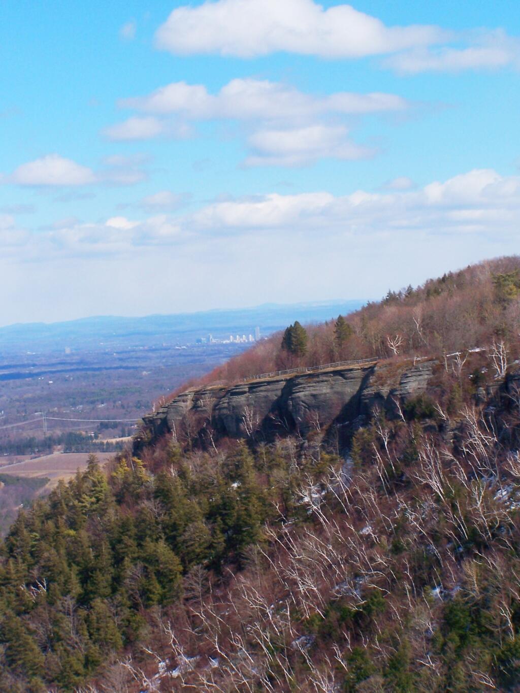
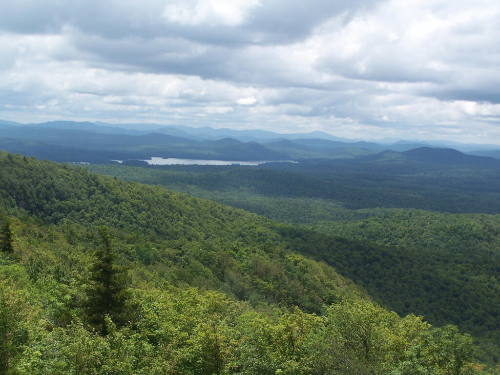
I really like Northwest Pennsylvania. It’s so wild and different then anything in New York State, without all of the restrictions applied on the land and people of a liberal state like New York. All things rugged and back country are vastly different then in Albany.
Time seemed unlimited on vacation. Eight days and nights sure seemed like a long time. Every morning lighting the cook stove, cooking up breakfast on styrofoam plates, packing up the gear, tearing down camp, and heading out for the day, exploring truck trails and wild landscapes. Set up campsite, turn on Christmas lights, build a campfire, and burn the day’s garbage, while listening to country music with my cowboy hat on.
In contrast, the land of work is vastly different. It’s setting an alarm clock, getting up, making breakfast on an electric stove, and catching the bus to work, and sitting in an office all day. Then come home, cook dinner, wash dishes, and sort the trash for recycling. Walk down to the park or the library. No opporunties to burn anything.
Man cities, and my urban reality in the state that best represents liberal statism, sucks.
In eight days, I managed to burn through 86.8 gallons, travel 1490 miles, and got 17.0 MPG. Those truck trails sure make Big Red burn a lot of gas. And I sure need the $310 to cover the cost of gas, plus the other $90 for beer, food, and supplies. Hell, even the styrofoam plates and paper towels aren’t free.
I also realize that I won’t be up for such an adventure for quite a while. It’s a mix of money and just getting the time off, but the reality is I probably won’t be back in Pennsylvania for a while. Somehow, trips to Adirondacks don’t seem so far or exciting, as Northwest Pennsylvania.
After looking forward to this trip, all that is left is some pictures, burn out tin cans for recycling, and the hang-over made up of memories.
I often prefer to use Net Votes per Election District, as this more clearly shows were a person lost and won the race, because Turn out can very quite widely from Election District to Election District. Moreover, some Election Districts are more populus then others.
Turn out was particularly high in districts that Sandy lost, particularly in Westerlo ED 3 (Dormansville), one of most conservative EDs in Albany County currently.
This map shows the Average Democratic Preformance of Statewide candidates by 2010 Voting Tabulation District, with the 2011 County Leg districts superimposed. Be aware that all statewide Democratic candidates preformed quite well across 2010 Albany County,but it also shows the weakness in Dormansville (Westerlo ED 3), and Cooksburg-Preston Hollow-Potters Hollow (Rensselearville ED 2). The entire district was and is marginal Democratic, and can easily swing into the Republican column.
.
While Sandy Gordon got a higher percentage of votes on Democratic line then Debra Bush on the Republican line, the heavy Conservative-block vote in Renselearville EDs and South Westerlo (ED 1) provided a margin of victory for Debra Bush.
Sandy Gordon lost 2/3rds of Knox in the redistricting. He preformed worst in the new portion of the district — specifically Westerlo — and failed to hold onto Renselearville.
While he faced a Tea-Party Movement in Renselearville that organized against him, if he had spent more time going door-to-door in this portion of district, along with introducing himself to Westerlo voters, he may have been able to hold on to his seat.
Regardless, it was tough year for Democratic Incumbents, especially those with a long record and many difficult votes to face, such as over-riding the tax-cap, which will hurt rural residents and those of the hilltowns who own a lot of land hardest.
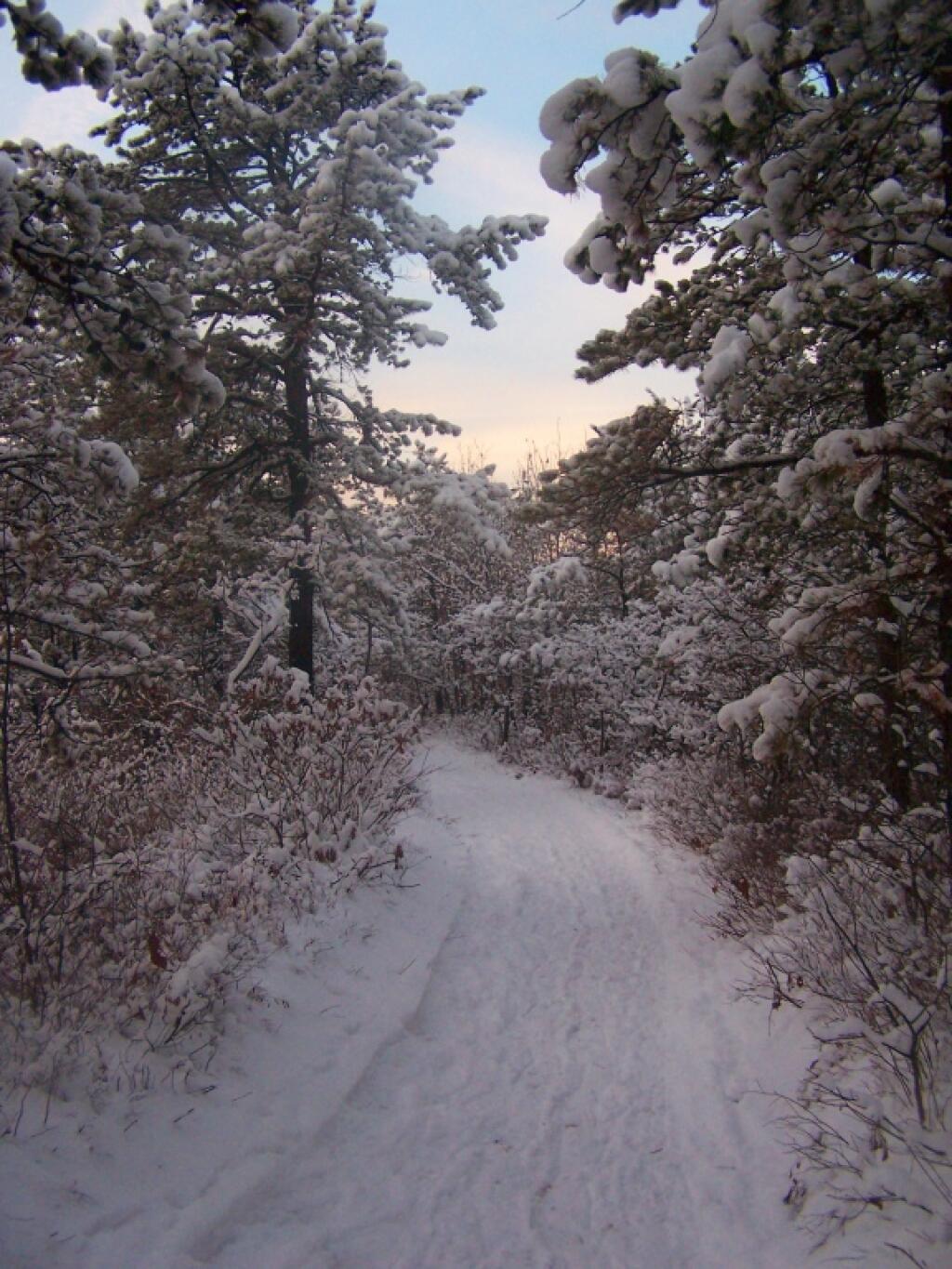
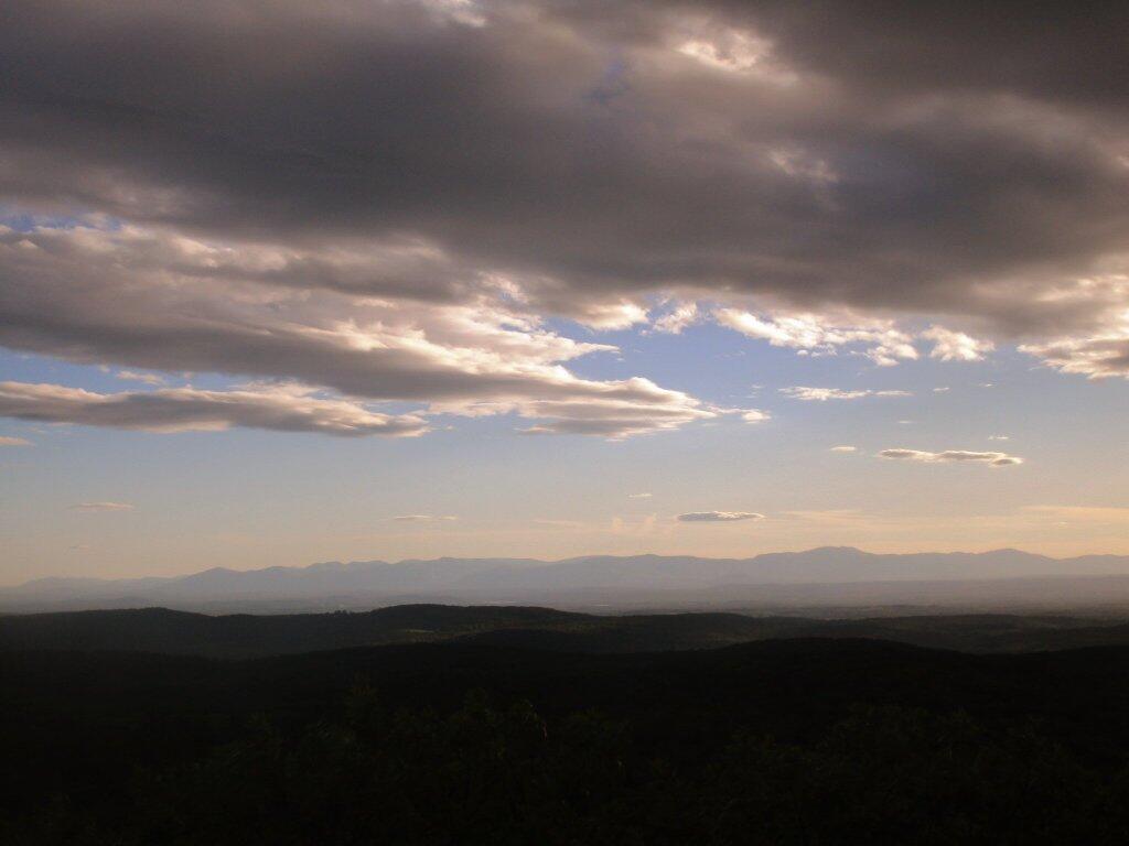
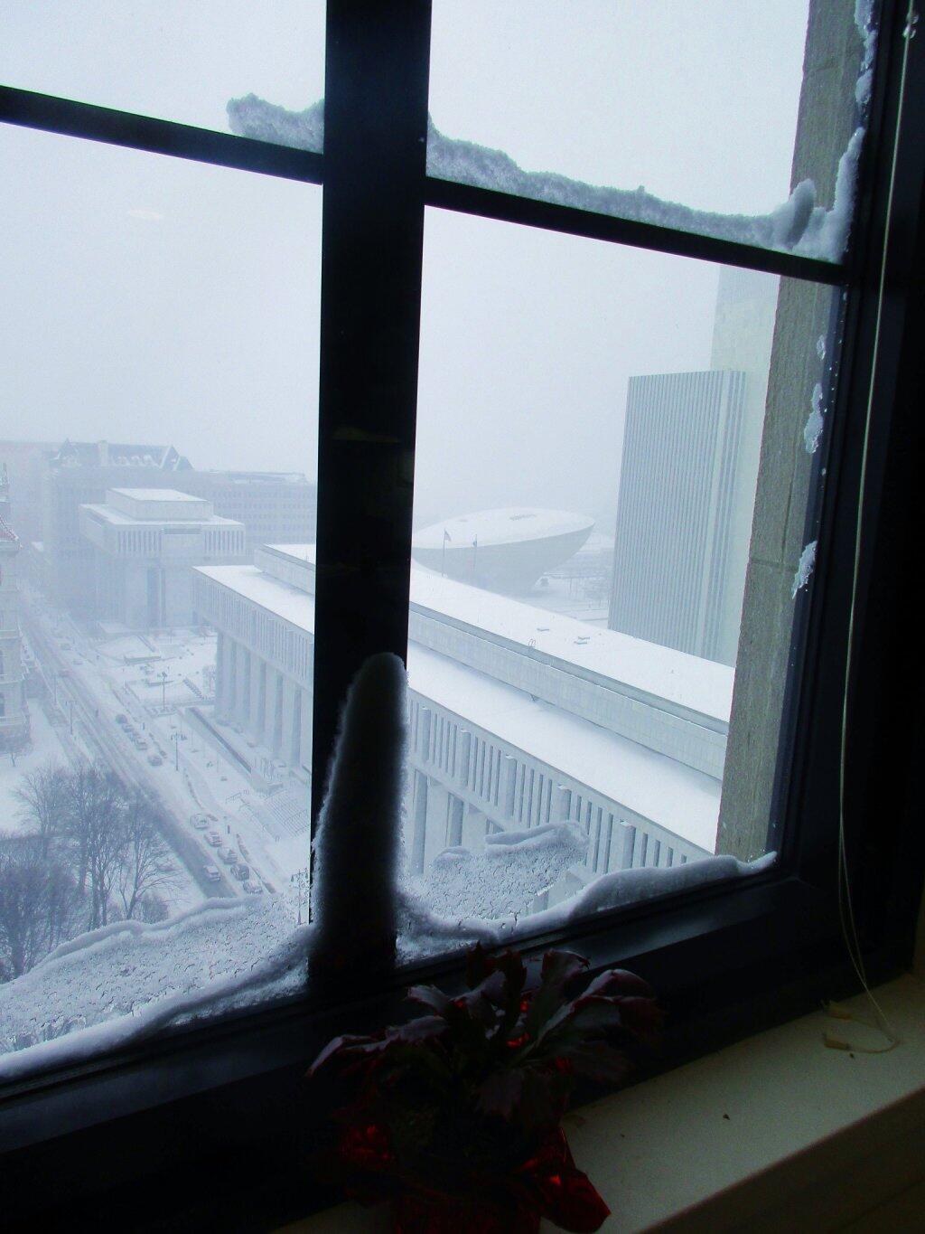
After a fresh snow fall it was a winter wonderland in the Albany Pine Barriens, a forever wild ecosystem on the outskirts of the city. It felt like one was walking through a marshmallow forest.
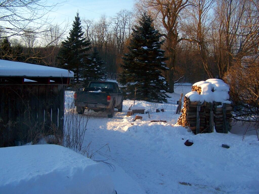
A cold winters day at my parents house in late January, after a long cold spell that never seemed to want to end.
February.
A icy sheen shown on the snow at Partridge Run, as I went for an afternoon walk with the dogs up there in the middle of the month.
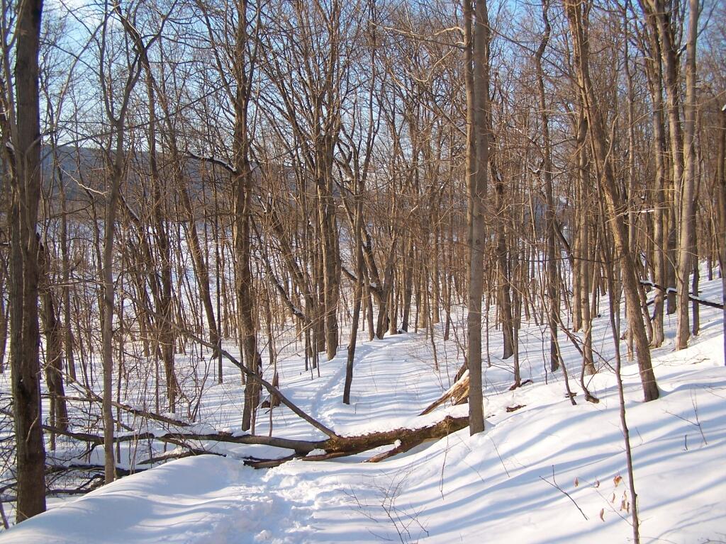
Snowshoeing back down Bennett Hill in late February.
March.
A recently logged section of Cole Hill provided breath-taking views of Irish Hill and the Fox Kill Valley down in Berne.
What a clear spring day up at Horseshoe Clove at Thacher Park. Warmer, nicer days can’t be far way.
April.
April 9th was the first day I got out camping in 2011. Spent the day exploring Rogers Environmental Center, camped at Moscow Hill Horse Assembly Area.
It may start to warm up earlier in lower elevations, but winter is still very much a force in late April in the Adirondacks. The East Sacanadaga River on this morning looks icy and cold.
May.
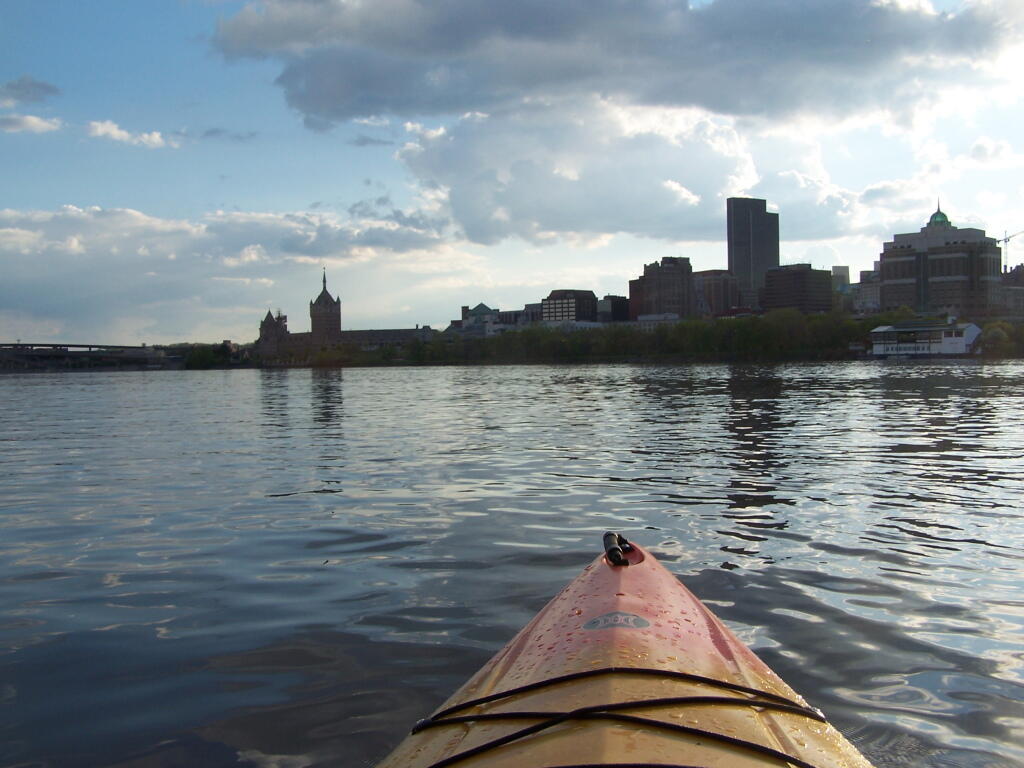
There’s Albany! From my kayak. I kayaked up to Downtown Troy from the Corning Preserve.
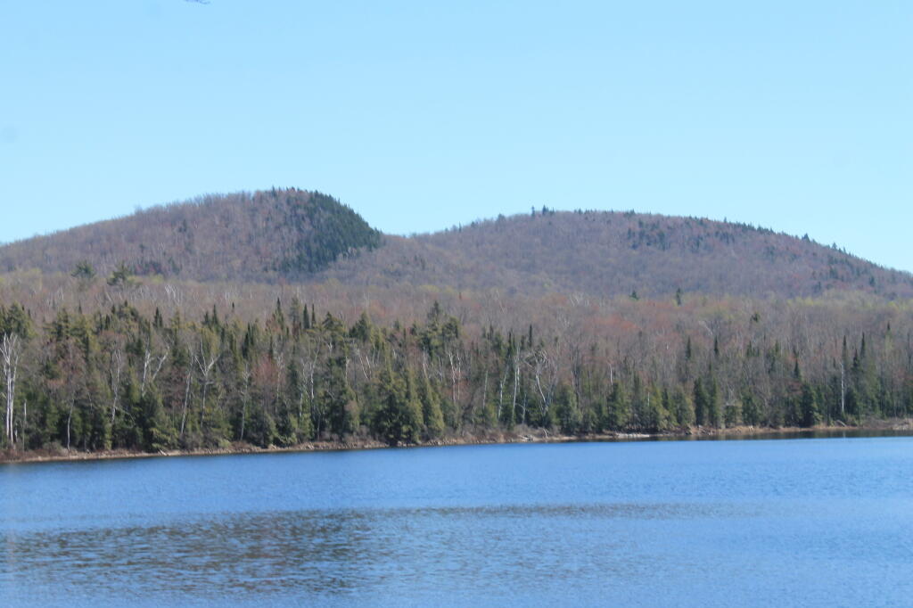
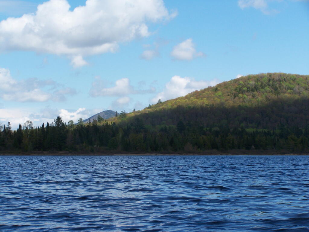
Spring finally comes to Adirondacks by late May. Paddling around Cheney Pond, looking towards Sand Mountain in the distance, on the other side of Hoffman Notch.
June.
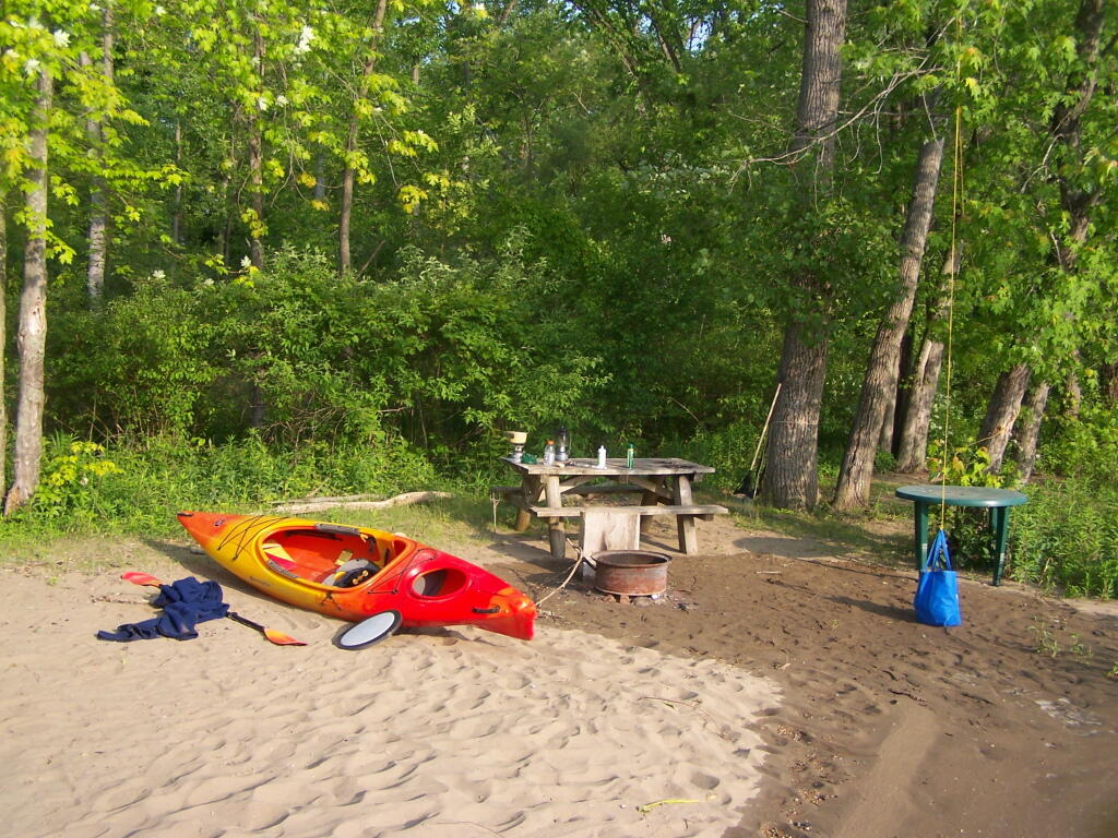
Kayak camping on Stockmans Island in the middle of the Hudson River. What an adventure, one I picked on a night when they had fireworks up at the Coxscake Town Park.
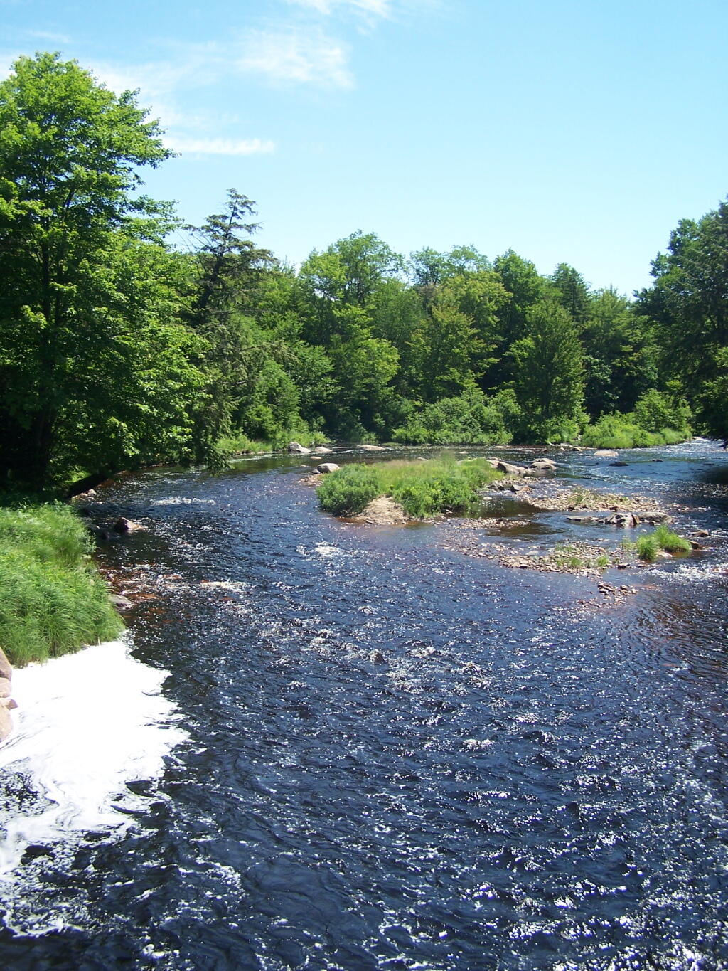
Oswegatchie River up in Watson’s Triangle in Adirondacks. There are few places as remote as this that you can drive on largely unmarked and rarely traversed back country roads. Watson’s Triangle is a place far of the beaten path.
July.
A dramatically cloudy day, looking down towards Tupper Lake from Mount Arab.
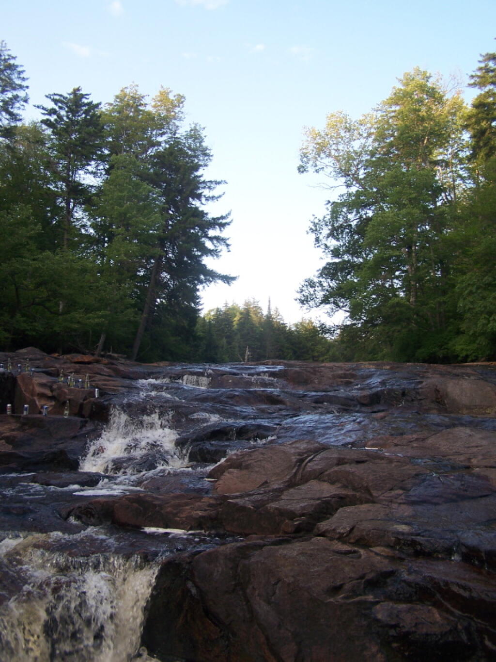
Cooling off at the Potholers on an oppressively humid summer’s day.
August.
Exploring Beaver Creek at the Brookfield Railroad State Forest in Brookfield, NY.
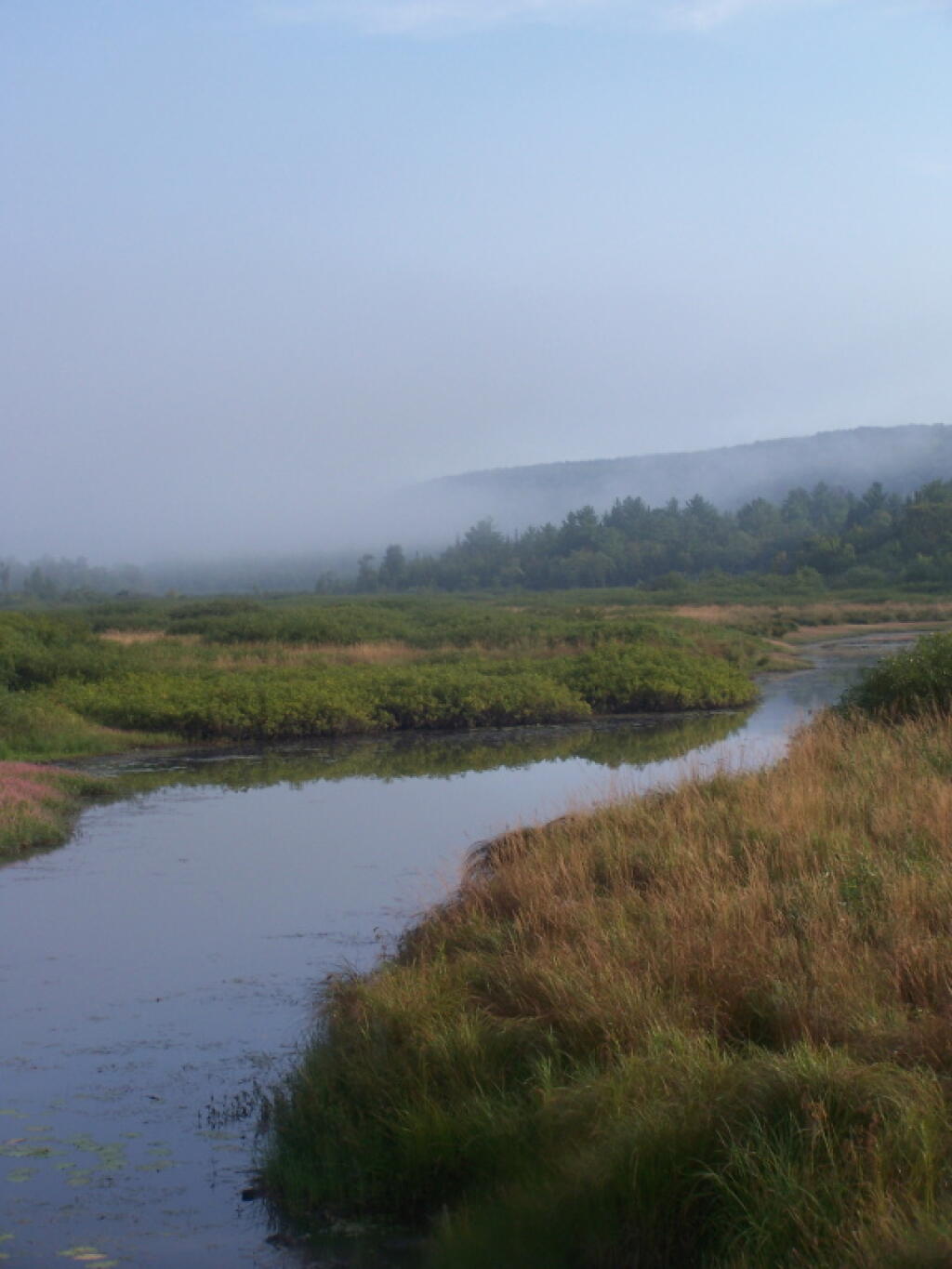
Watching the fog burn off Beaver Creek at Brookfield Railroad State Forest on a summer morning..
September.
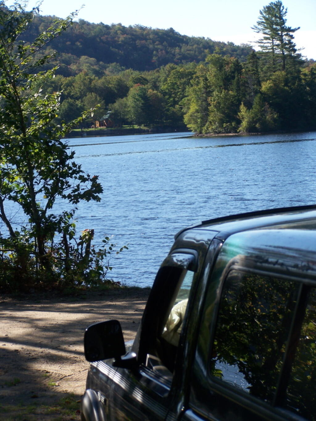
A beautiful late summer morning at North Lake in Adirondacks. North Lake is such a jewel, especially as you head farther north on the largely undeveloped portion of the lake.
Fall was well underway, and even past peak at Moose River Plains by September 20th.
October.
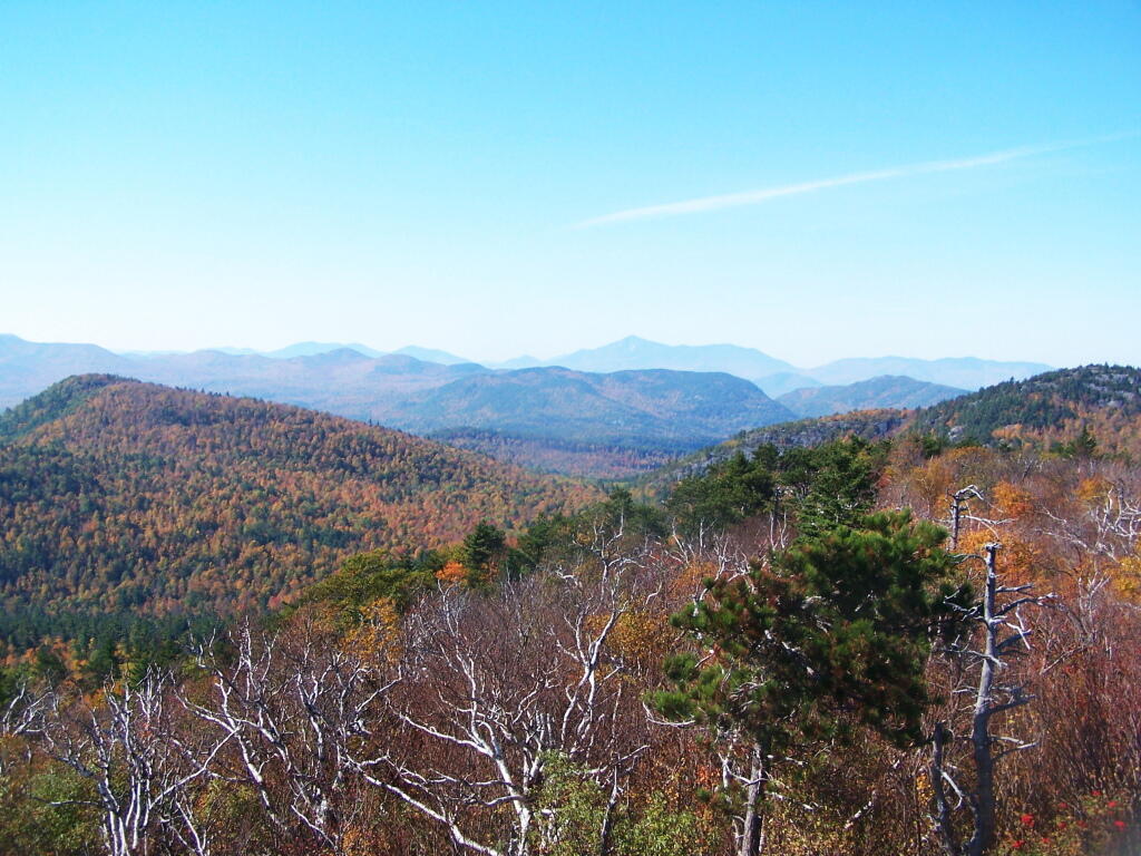
Second week of October, I went up to the North Country for some leaf peeping, hiking, and kayaking. The colors may be faded in Central Adirondacks, but still were good in lower elevation parts of the Northern Adirondacks.
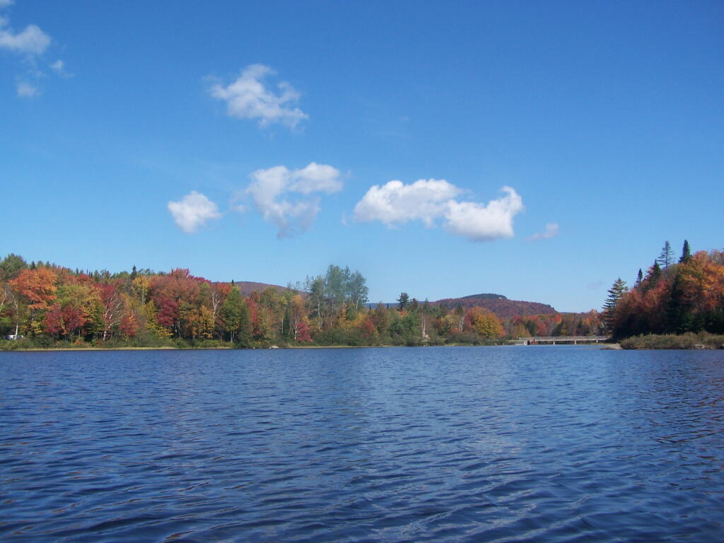
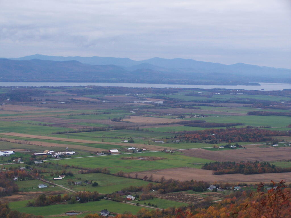
And later in October, I drove up to Snake Mountain in Vermont, overlooking the Champlain Valley and the Adirondacks. Colors lasted the longest
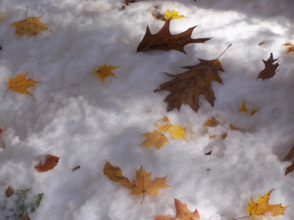
And by October 30th, we had snow, actually several inches, as seen up at Lake Taghkanic State Park.
November.
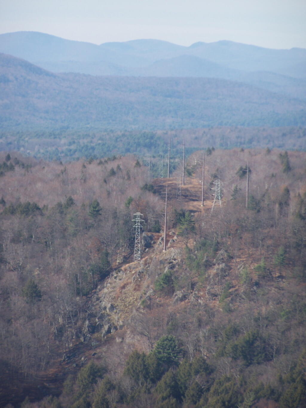
In November I visited Monreau Lake State Park for the first time, and checked out the Palmerstown Ridge above the Hudson River and Spier Falls. These power lines transfer power from Spier Falls Hydro Dam over to Corinth.
I also hiked up Windham High Peak. I hadn’t been there in many years, and it was interesting to look down at Preston Hollow and Medusa, far, far below.
December.
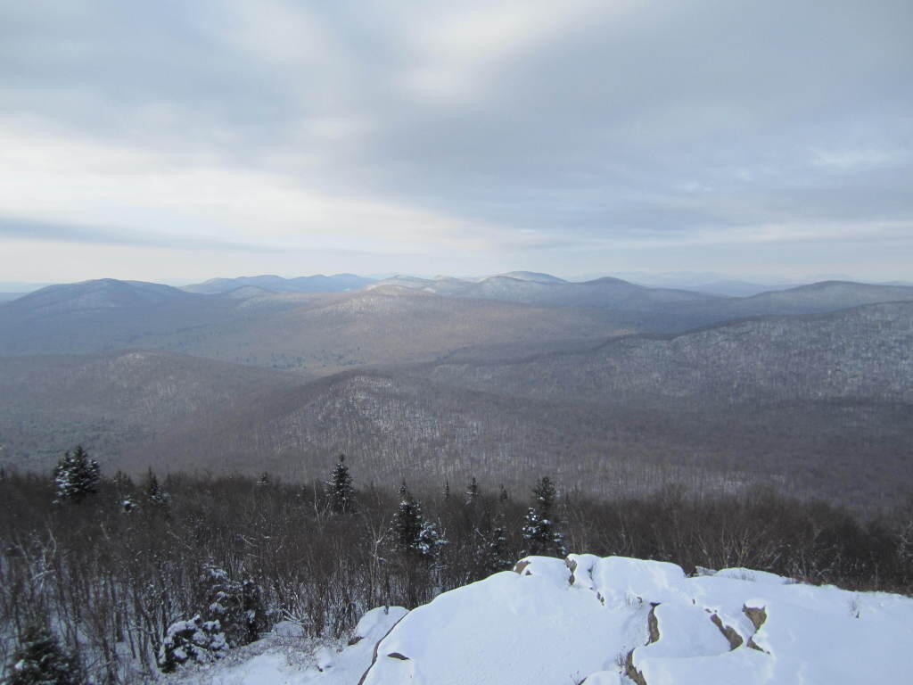
On Christmas Day, I hiked up Hadley Mountain. While cloudy and cold, it was very beautiful.
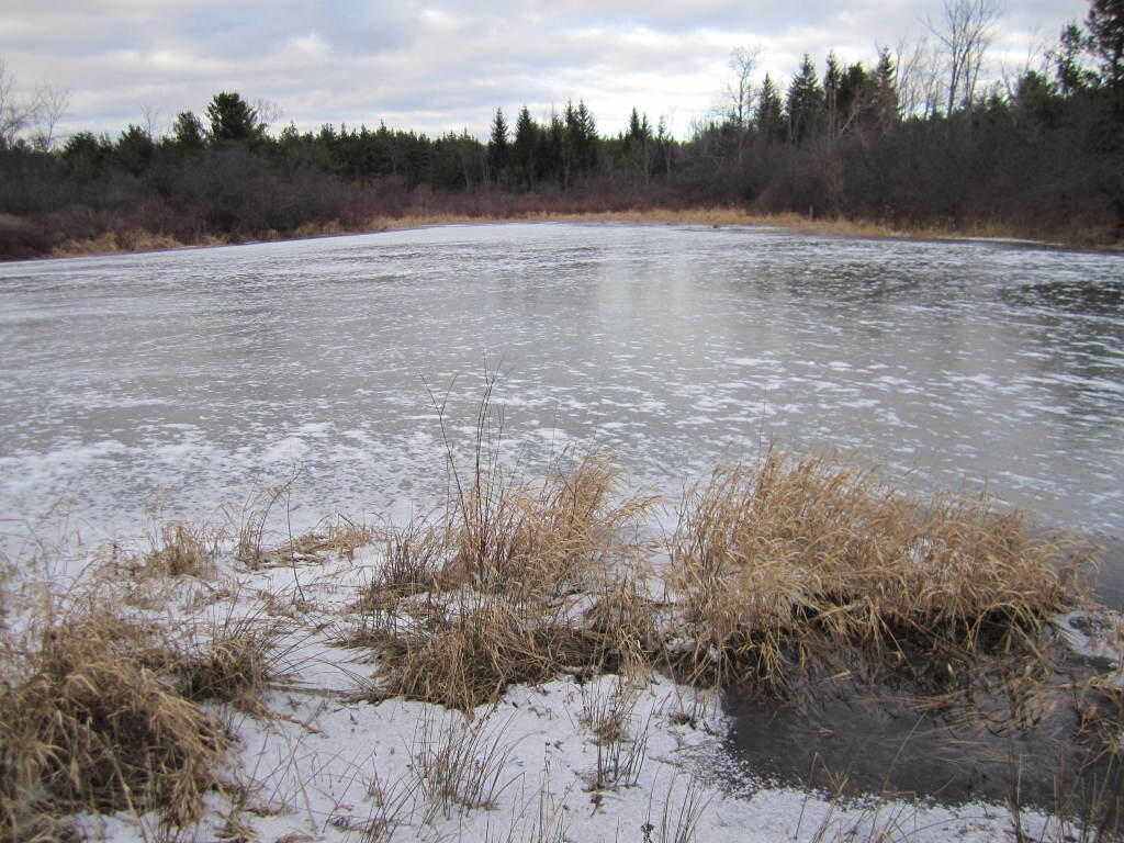
While the pond at Thacher Park was frozen, there still is very little snow locally.
2010 Statewide Elections in Maps A look back at the last election cycle and how things played out.
Here is a map of the Average Democratic Preformance for all Statewide Candidates in 2010.
Here is the Gubernatorial Race. Notice how Andrew Cuomo won most rural and urban communities, with the exception of the most conservative towns in the Southern Adirondacks, Catskill Mountains, and also Western NY, where hometown favorite Carl Paladino snapped up many votes.
In Competitive State Senate Elections (which there many in 2010), Democrats won over many small towns in Upstate New York. That said, the votes that Democrats won, often where not enough to offset the more populated areas where Republicans won. Votes on third party lines (not included) also helped win Republicans over in certain districts.
The same can be said with the State Assembly. Despite winning far fewer towns, they kept a strong majority, in part thanks to their strong New York City base, and fushion candidates, running on multiple lines not shown on this map.
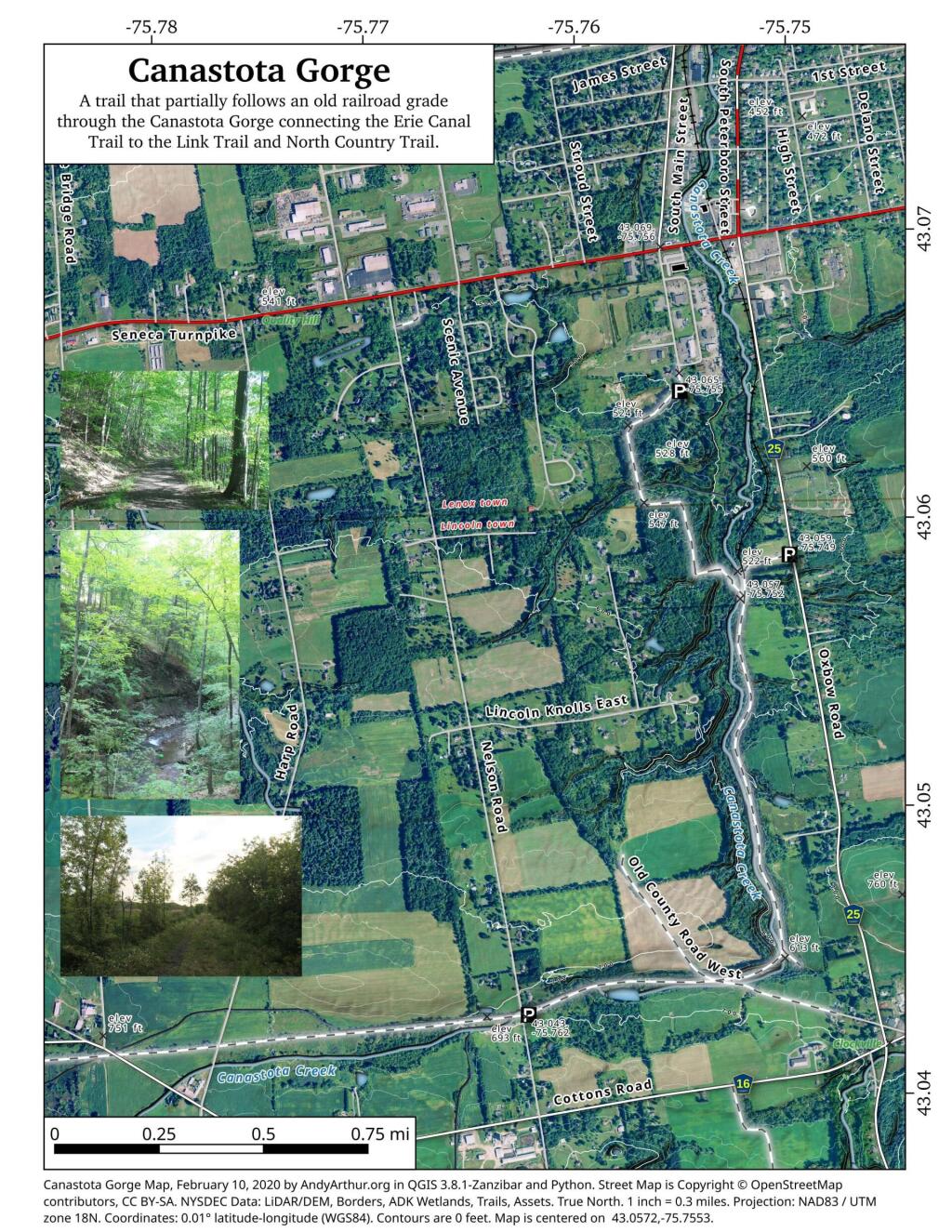
This past week, I decided to re-do the Moose River Plains Maps I had previously rendered in QGIS. I got some new data from the DEC, and wanted to simply the existing maps by taking off Wilderness Boundaries, and other details not of particular interest to hikers, campers, and kayakers. I also removed campsites that are in process of being removed or relocated under the finalized Unit Plan for the area. Be aware that the elevation on these maps is metric, as that’s what the NYSDOT Topographic Maps use in this region.
Click on any of the maps to display the high resolution version, that you can download and save, or print. Laser printers are great, especially for the Cedar River Flow Maps, as they’ll keep the ink from the running. All of these maps are free for you to use and distribute as they are based on public data. If you have ideas on how to improve these maps or seek similar maps of the area of other trails or locations, please feel free to contact me at andy@andyarthur.org.
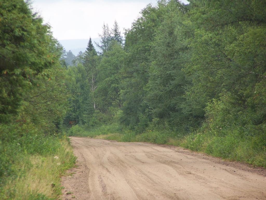
There is no charge to camp here, however if you plan on staying more then 3 nights, you will have to a get a free permit from the forest ranger. Most campsites offer picnic tables, fireplaces or rings, and outhouses. Moose River Plains are all back country dirt roads, with a speed limit of 15 MPH, and there are some rough sections on the roads. As of September 2011, all of the roads shown on these maps are open.
Moose River Plains Camping Area.
Roads are red, hiking trails are black dotted lines on the map. All of the campsites in pink shaded area (“Moose River Plains Camping Area”) offer vehicle accessible camping including RVs and other tow-behind campers. The campsites outside of the “Camping Area” — specifically those on Otter Brook Road — will in the future be reserved for tent camping (most with vehicle accessability) except during Big Game Season when campers will be allowed at all sites. Most of the other trails with campsites on them offer wheelchair or mountain bike accessiability, as they tend to be gravel paths.
Moose River Plains Campsites.
Note: Campsites are numbered starting from the east, as you are coming from Cedar River Flow, heading towards Limekiln Lake. Many campsites have been closed or added over the year, and that’s why there are many gaps in the numbering system.
Cedar River Flow and Wakely Dam.
Cedar River Flow is a popular destination at Moose River Plains. In many ways it’s the gateway to Moose River Plains, as you reach Wakely Dam, which holds back the waters of Cedar River Flow as one of your first destinations heading West on Cedar River-Limekiln Lake Road from Indian Lake.
The Cedar River Flow is a popular lake for canoeing and kayaking. There are several designated and undesignated campsites along Cedar River Flow, with the designated ones shown on the map. There are also a handful of campsites, closely grouped together at Wakely Dam. The Cedar River is navigable for several miles upstream, and some people will paddle to the Lean-To on Sucker Brook Trail.
Wakely Pond and Wakely Dam Areas.
Along the Northville-Placid Trail near Wakely Pond there are several designated tent campsites. A map of Wakely Pond-Wakely Dam Areas, and the rapids downstream of the Cedar River Flow.
Wakely Mountain Firetower.
By far one of the most popular destinations in the area is the Wakely Mountain Fire Tower. It offers truly spectular views of Moose River Plains, Blue Ridge Wilderness, West Canada Wilderness, Fulton Chain of Lakes, and even the High Peaks.
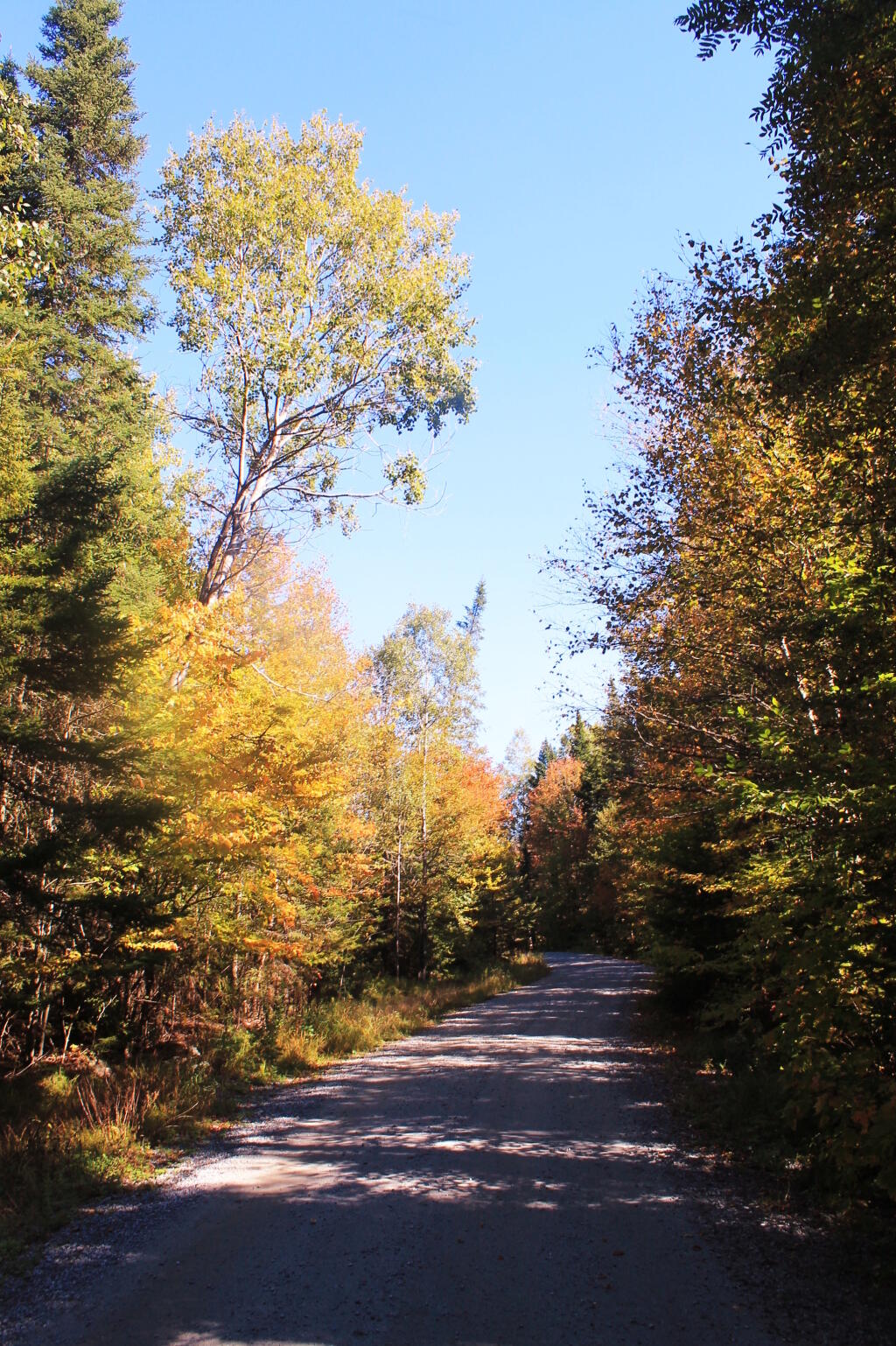
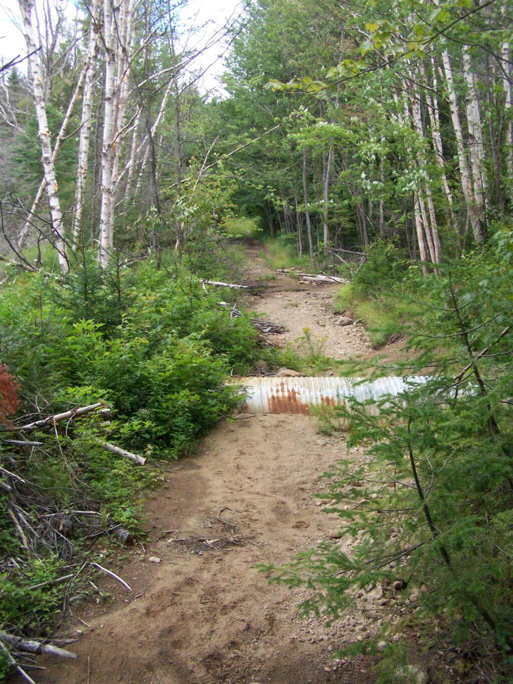
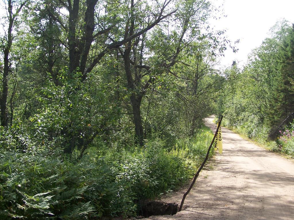
Like thousands of New Yorkers this past year I have been seriously bummed out on how Cedar River-Limekiln Lake Road from Wakely Dam to Lost Ponds was washed out for the first three months of summer season. It probably was the first time Cedar River-Limekiln Lake Road was closed off for such a long period in summer time — due to springtime flooding and severe erosion and bridge scour — combined with a very tight budget for the Environmental Conservation Department.
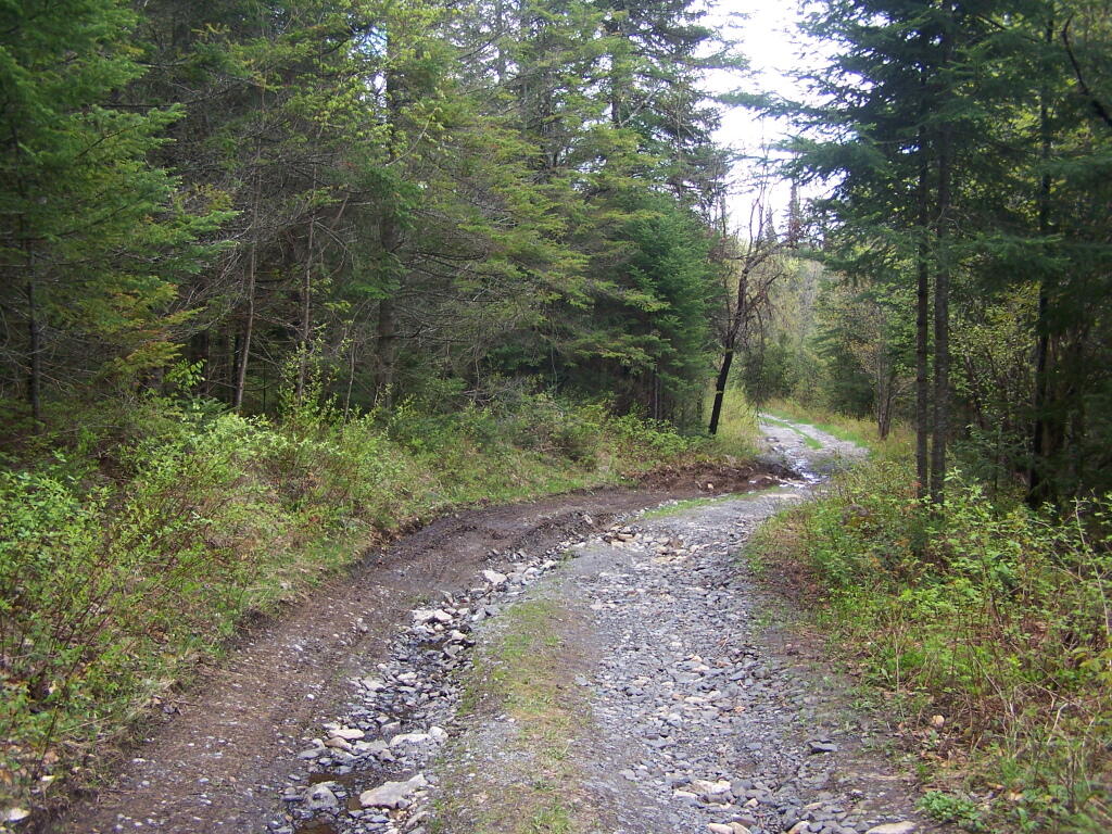
It seems the list of damaged or still closed roads throughout the Adirondack Park is long this year. Haskell Road is closed. Lester Flow Road and Woodhull Lake Road are rough and badly eroded. Maybe it’s just a bad year, and DEC Division of Lands and Forests is unfunded, and they lack the staff and fuel budget to fix things promptly. Or maybe it’s a more ominous sign — that DEC needs to rethink it’s road construction practices to reflect a changing climate, with heavier rains and more erosion.
As the average temperatures increase in the summer, there is going to be more demand then ever before for recreational access to the Adirondack Park. Yet, the danger is not from increased vehicle traffic, but instead erosion and bridge scour from flooding and increased heavy rains. Simply said, it may come to the point where Adirondack Park back country roads need to be built to a higher standard, with more reinforcement from wash outs.
That does not mean the end to the dirt or gravel truck trail. It does mean, around streams there is going to have to be more riprap and other course rubble rock to prevent erosion and bridge scour. Courser gravel is going to have to be used on steeper slopes, or maybe a mixture of tar and gravel to keep things in place. While blacktop may seem like the anti-thesis to the back country, it might be necessary in limited stretches to keep things in place, on road surfaces most pounded by the forces of erosion.
All of this will escalate the cost of maintenance of back country roads. Yet, the cost of improving back country roads before future cases of erosion, will ultimately save money and improve the public’s experience. Repairing roads to a higher engineering standard makes a lot of sense as the Adirondacks experience increased flooding and erosion from climate change.