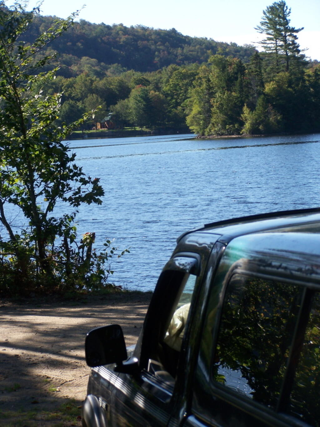
The Bog River Flow, also known as Lows Lake is a spectacular wilderness/primitive area located in South-East Saint Lawerence County. It consists of two dams, Lows Upper and Lows Lower, that create to massive man-made lakes. It is home to over 100 paddle in campsites along with some amazing views and wildlife.
Here is a downloadable map.
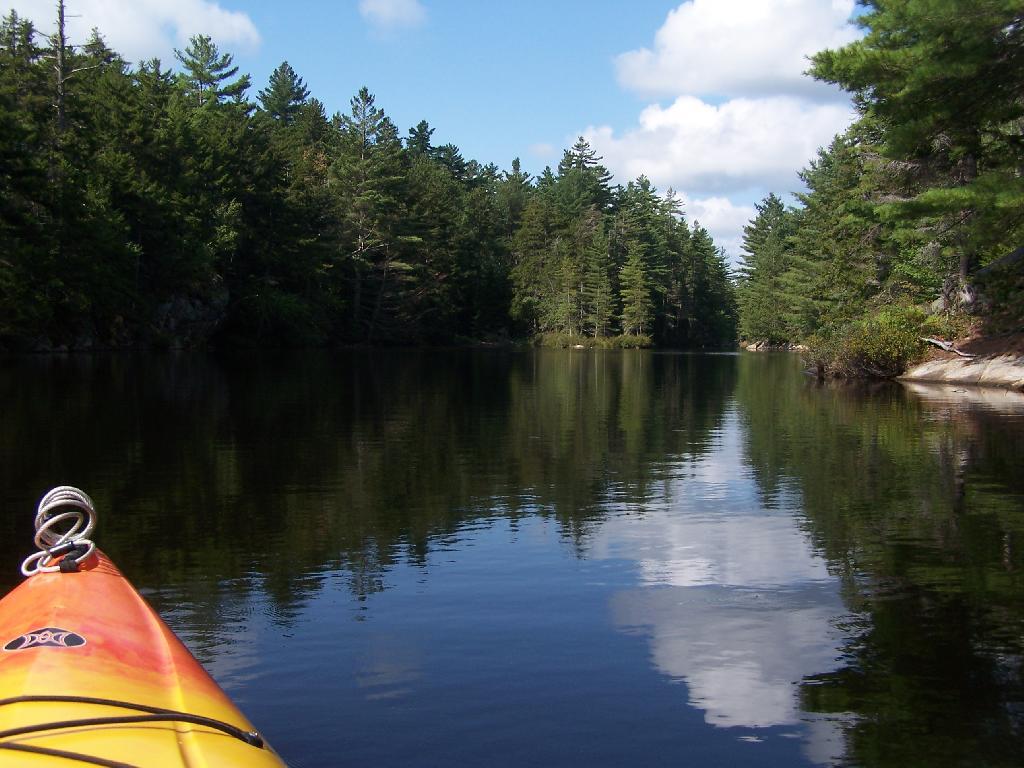
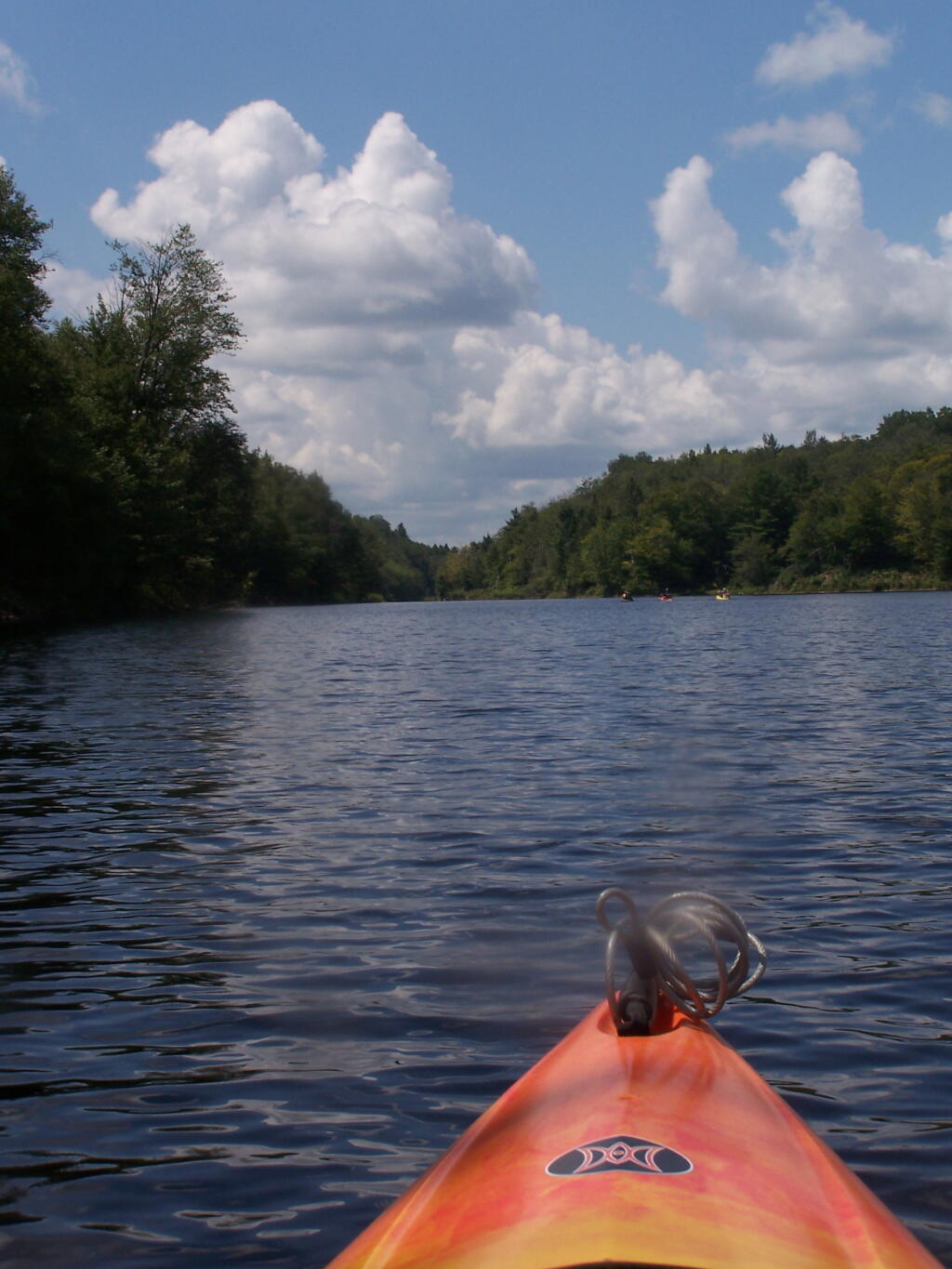
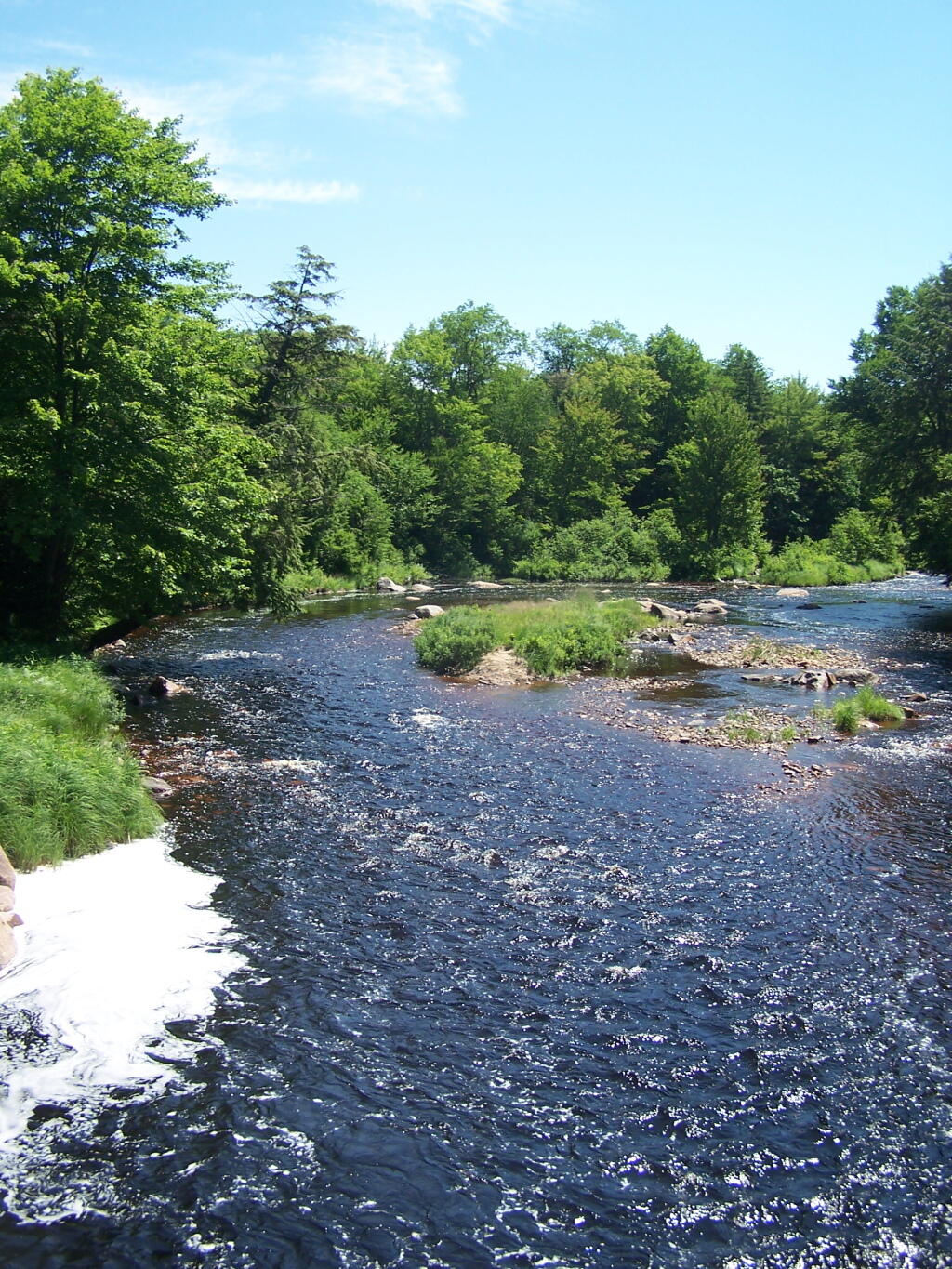
Above Lower Lows Dam. Paddling up the “flooded” Bog River, in the lower portion of Bog River flow, right above the Lower Lows Dam. If this area was not flooded by dams, it would be rapids, unaccessible by canoe or kayak.
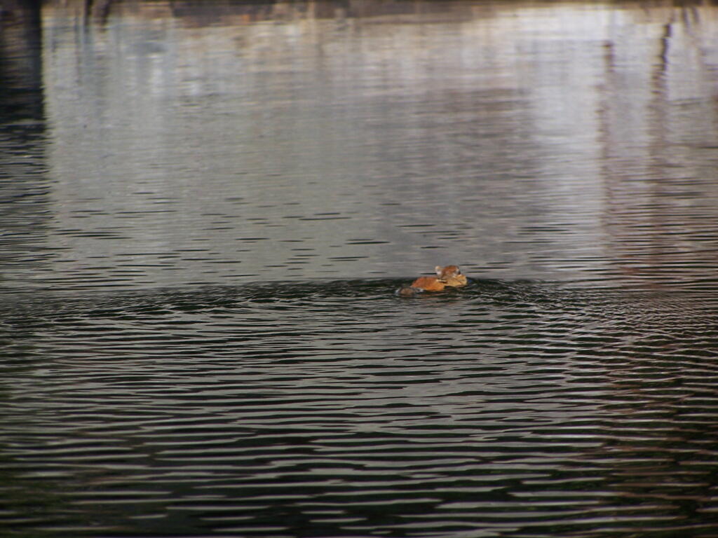
Chimpmunk Swims. This was taken about a mile above the Lower Lows Dam.
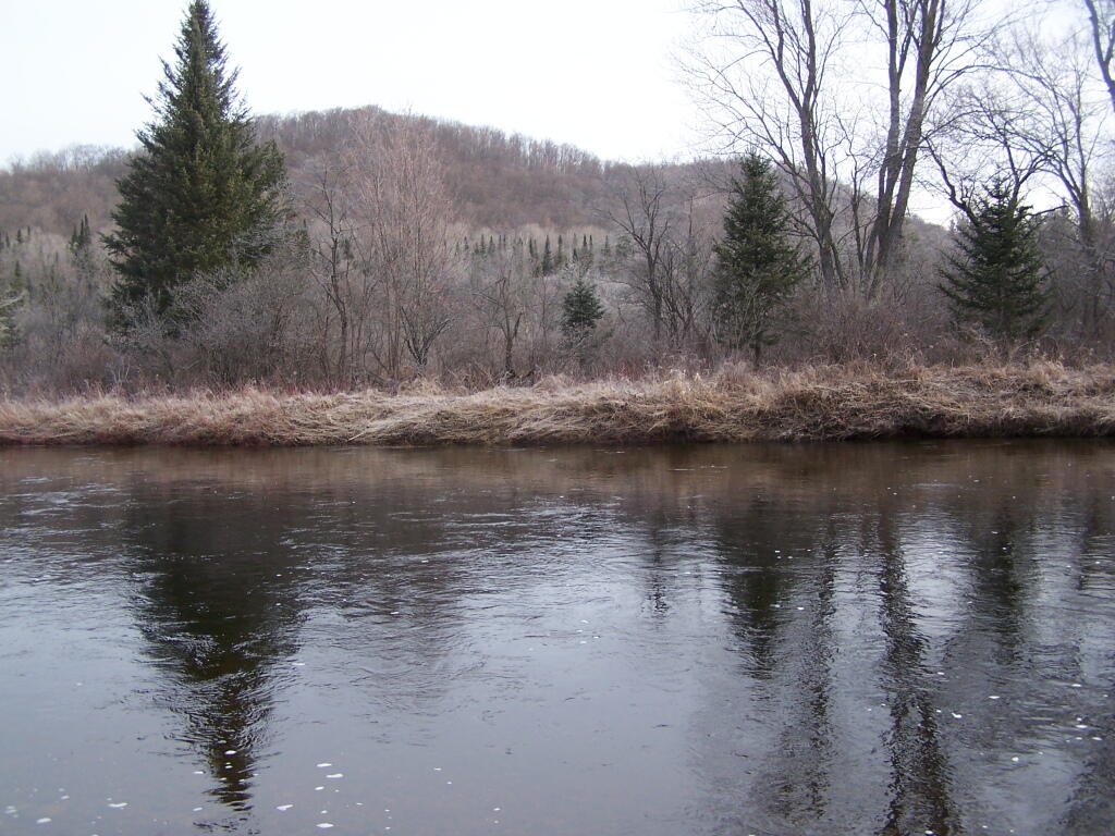
Bog River Flow Narrows. The Lower portion of the Bog River, is pretty narrow in part, due to the rocky terrain that it covers. You can easily bottom out a canoe or kayak in these parts, and other parts appear quite deep. There are a couple of paddle-in campsites along here.
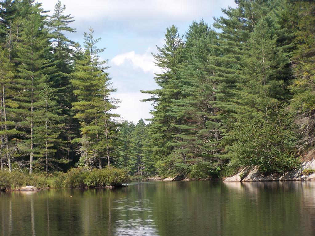
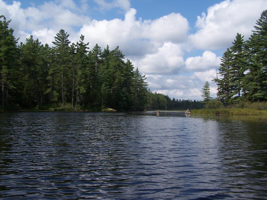
Bog River Open Up A Little Bit. The first mile or so of the Bog River Flow is mostly flooded stream. But as you get closer to Hitchens Pond, it starts to widen a bit.
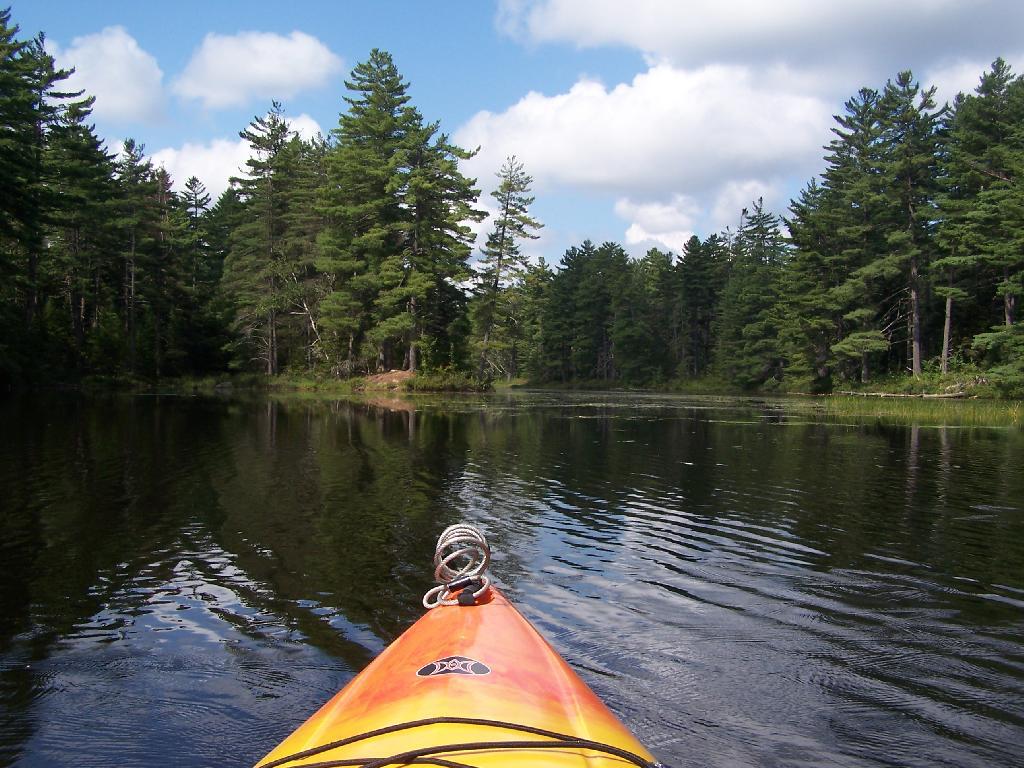
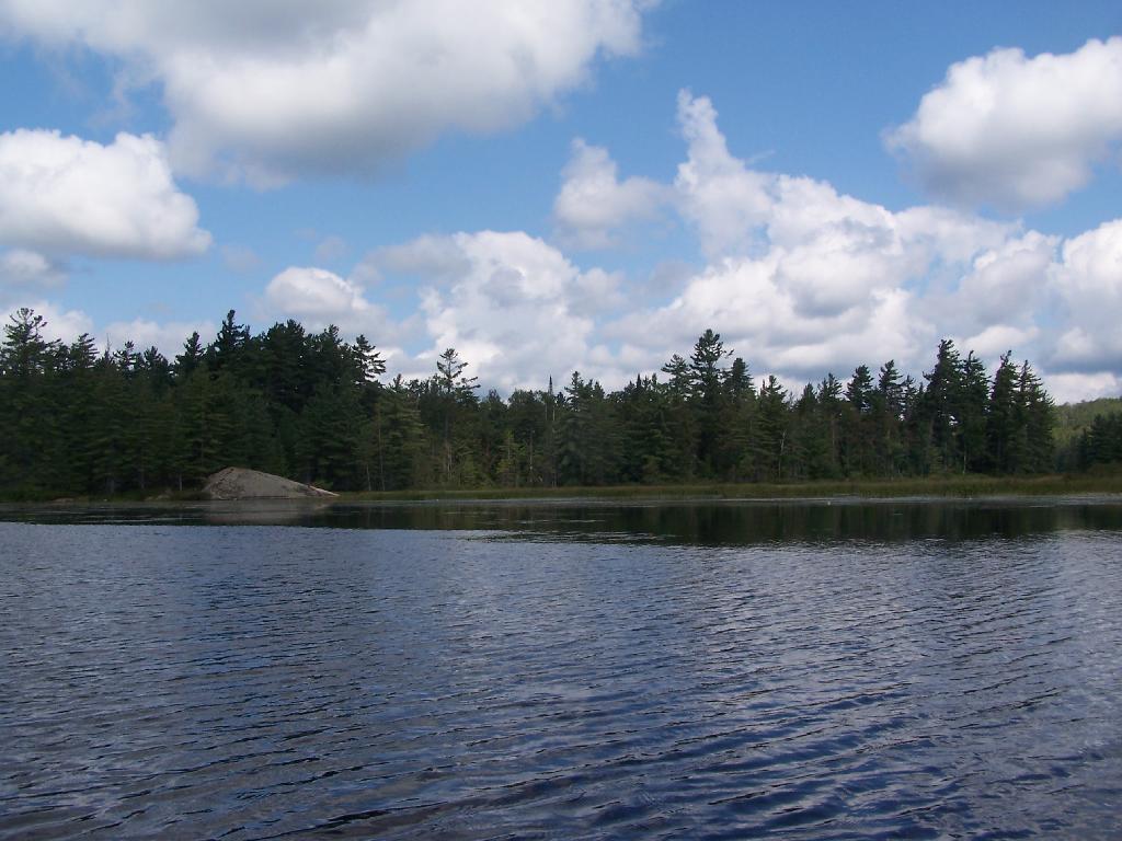
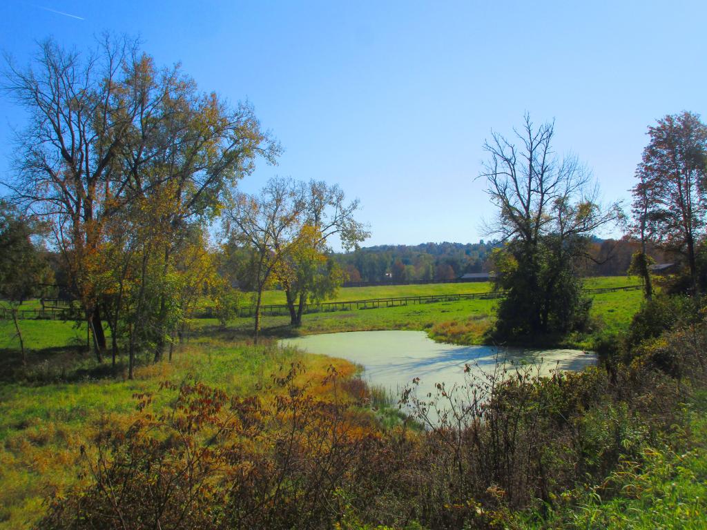
Entering Hitchens Pond. Just past here, is a hairpin turn, as the flooded River, winds a bit, and becomes a much larger lake, in the form of a series of bays and marshes.
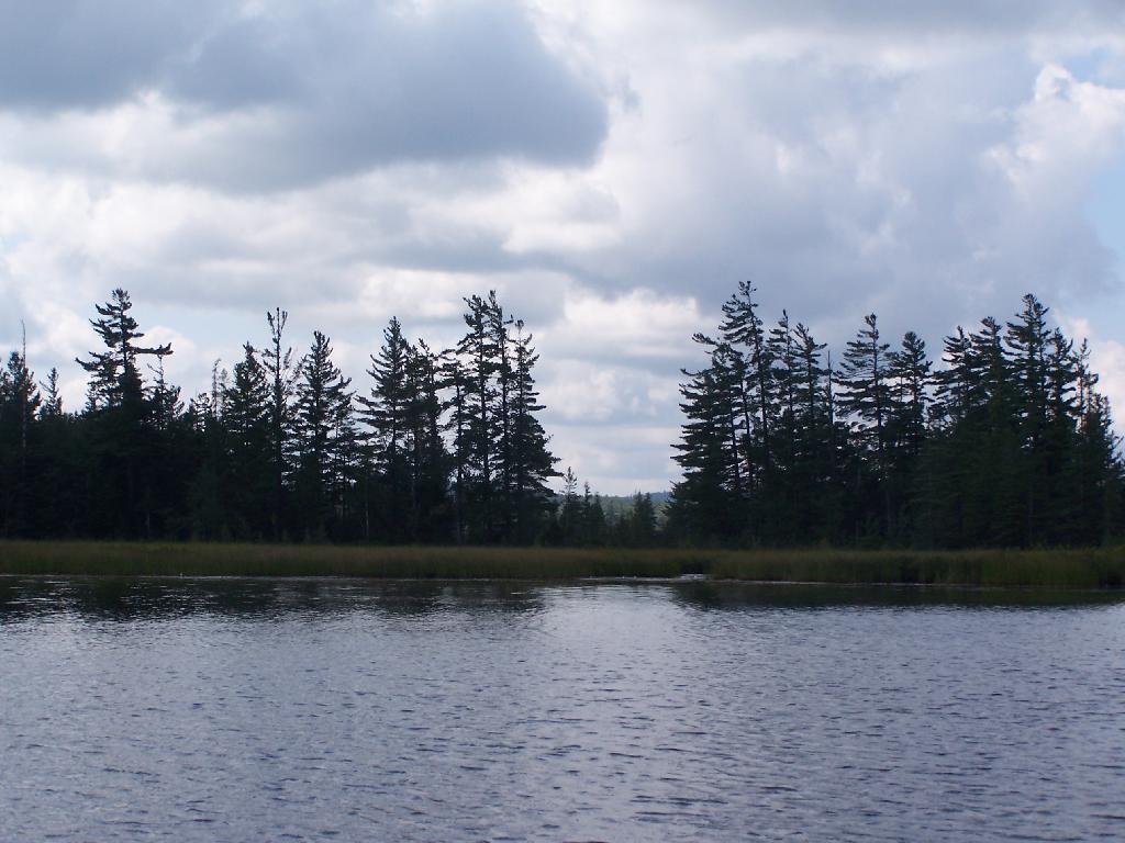
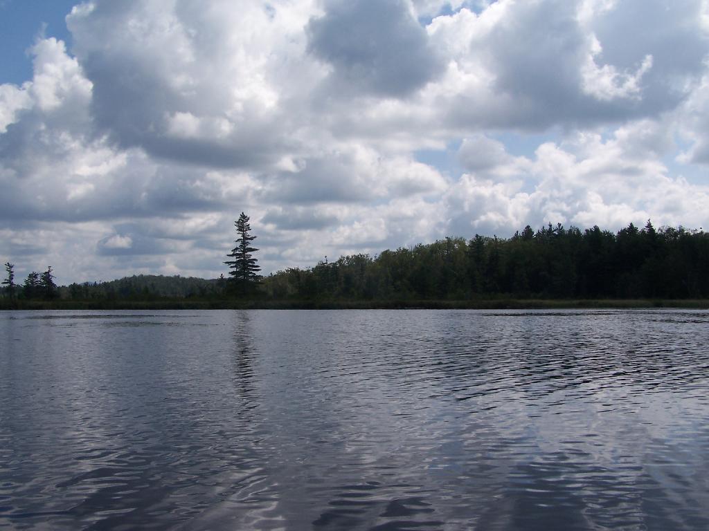
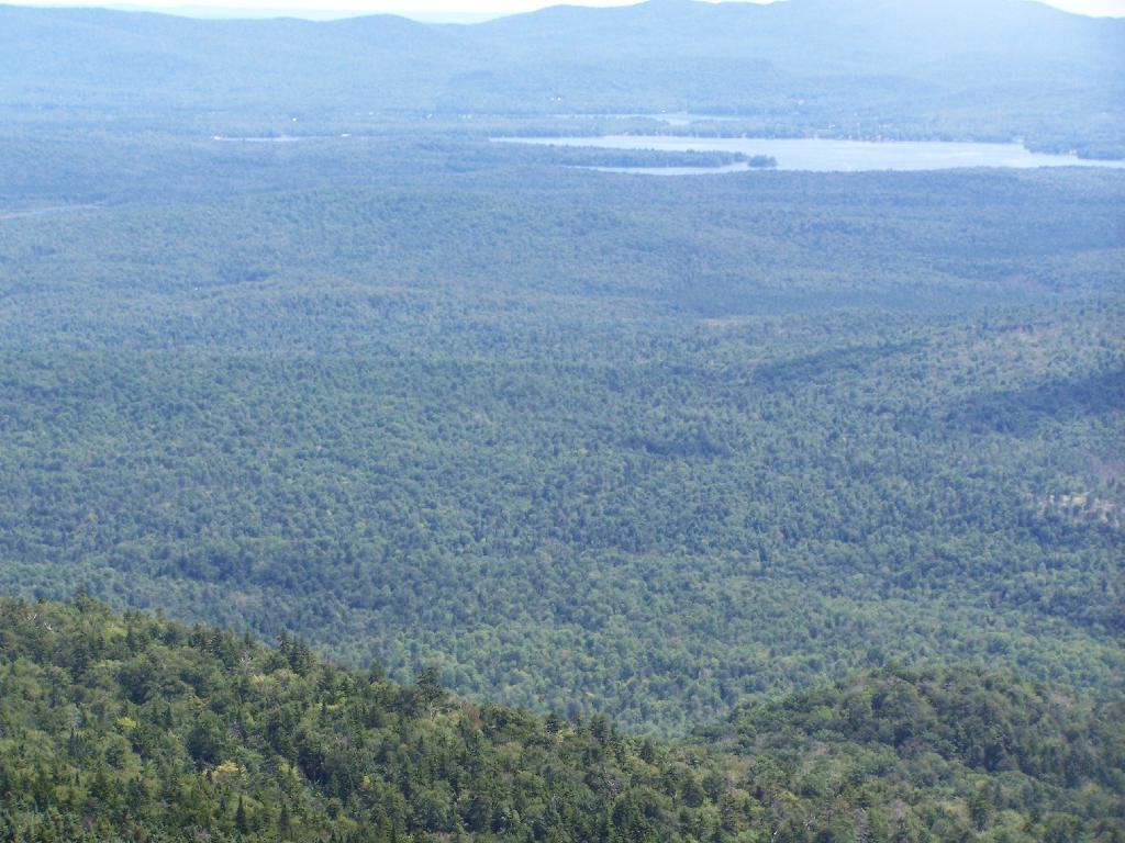
Hitchens Pond. Here things open up quite bit.
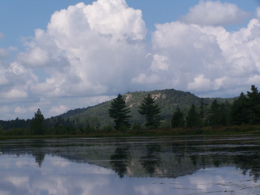
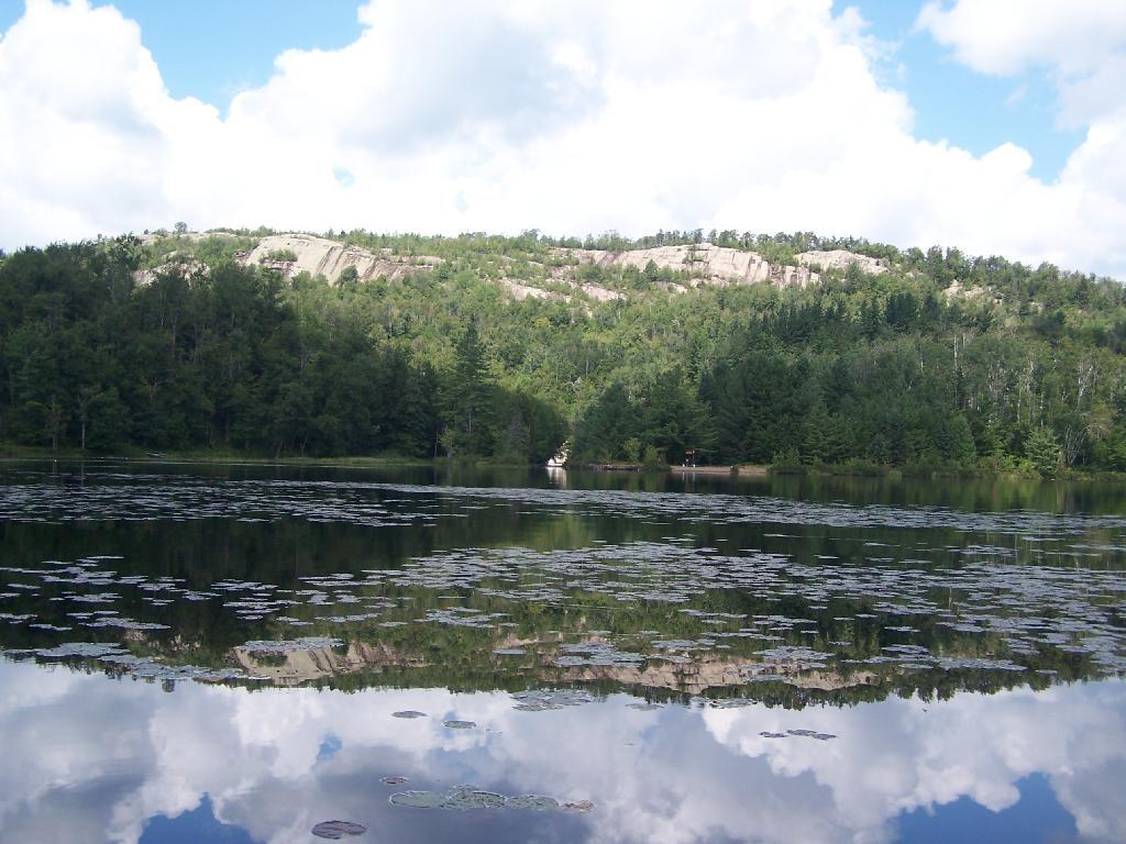
Lows Ledge. Here is Lows Ledge reflecting into Hitchins Pond. It’s much larger in person then it appears in this picture, unless you have a very big computer monitor.
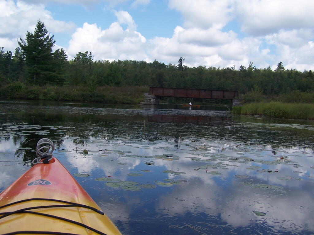
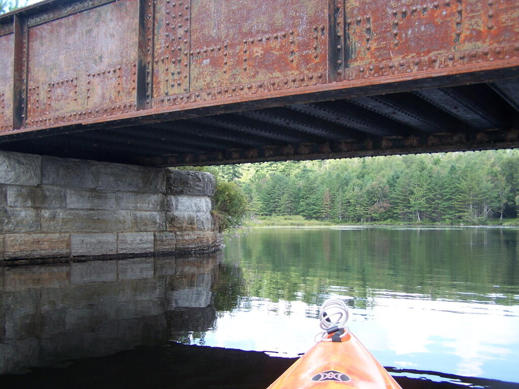
Railroad Bridge. About two miles into Bog River Flow, you cross under a relatively low railroad bridge. It’s actually about 5 or 6 feet above the flow, and doesn’t feel at all cramped in a canoe or kayak.
Under the Railroad Bridge. This shouldn’t be too bad to clear.
Trees Along Hitchens Pond. This picture can’t even reflect the beauty of this portion of Bog River Flow.
Break Time. Drinking all that beer, meant I had to find a place along the Flow to get out, stretch, and take a piss. Things being so boggy and soft in parts, meant there wasn’t a lot of open area to take a break.
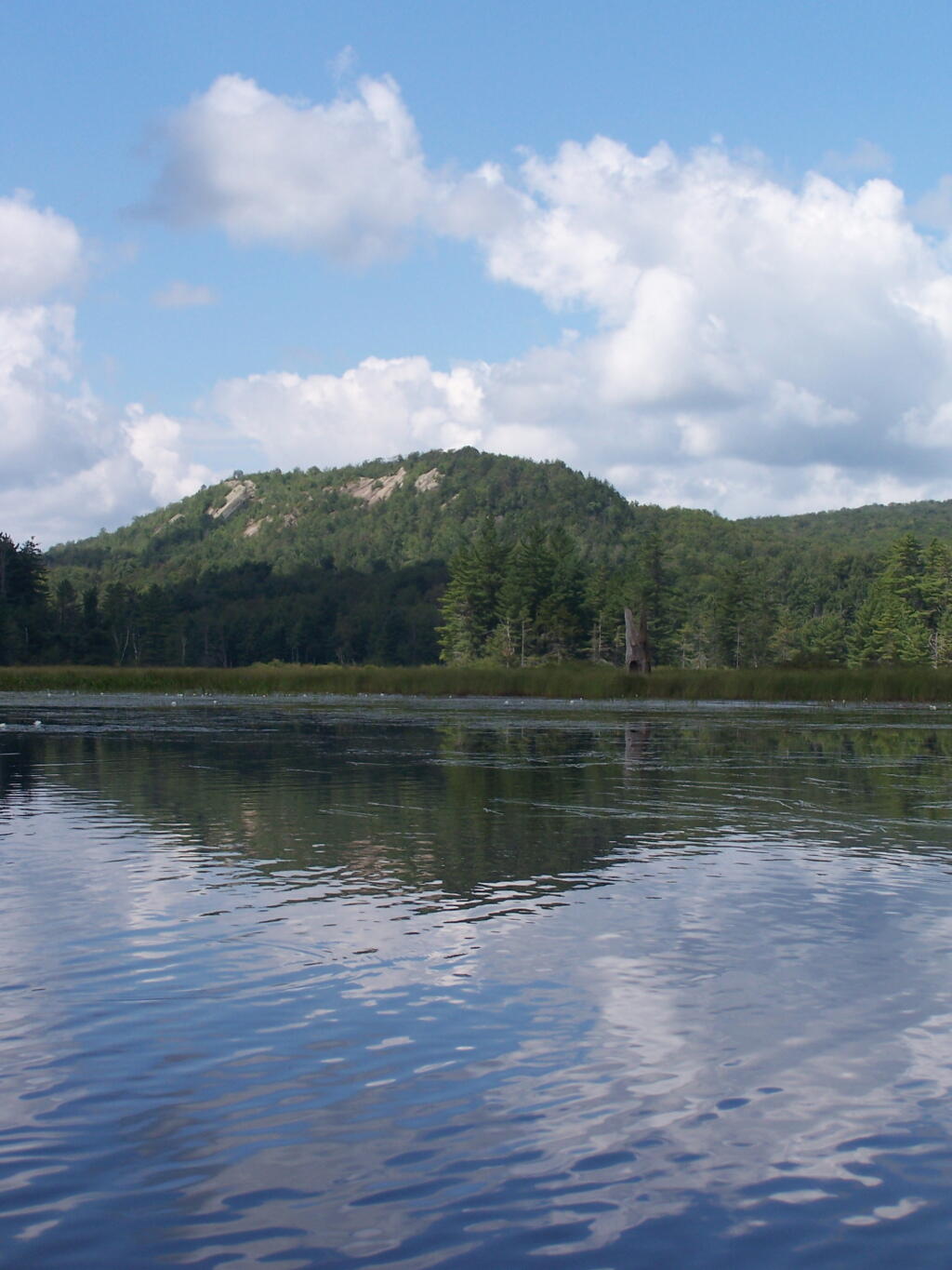
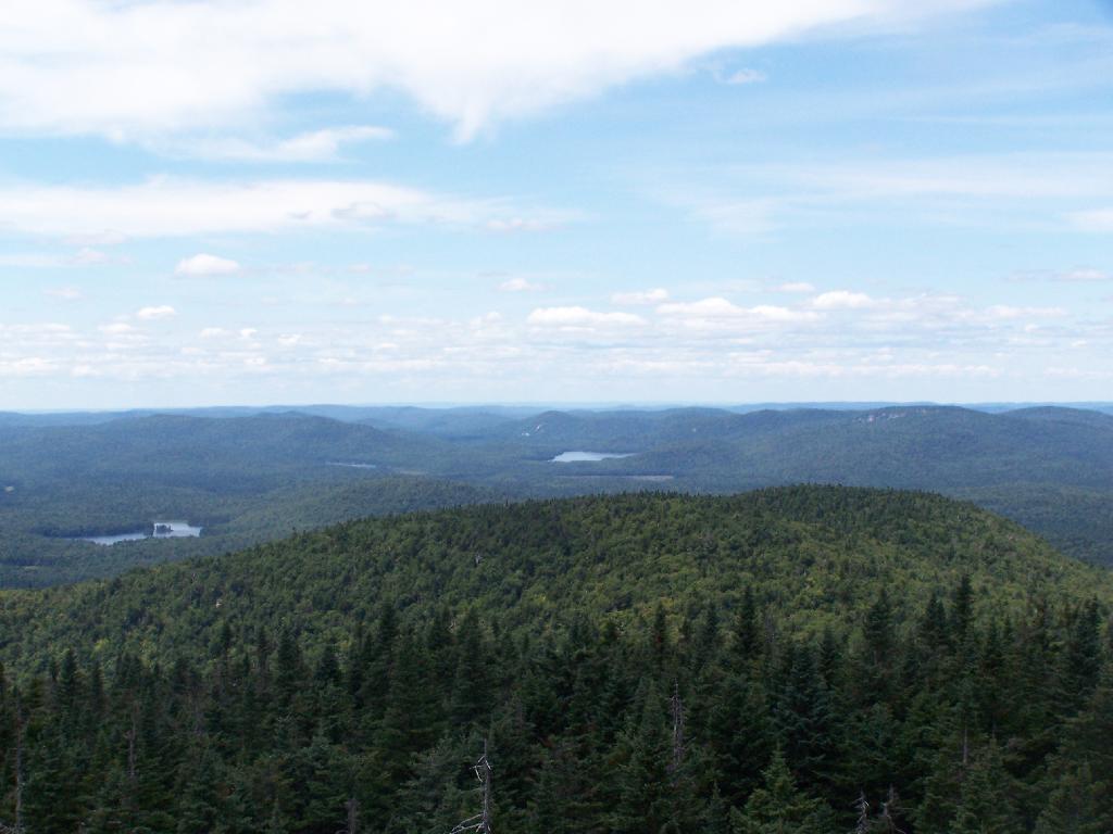
Lows Ledge. I’m now about halfway between Lows Lower Dam and Lows Upper Dam, as the ledge reflects beautifully into the lake. It’s a very spiritual thing for sure, paddling along through this lake.
Clouds Rolling Out. To the south, it looked still quite cloudy. But there was something quiet spiritual about the area, and quiet vast. Something also spoke to me as being Saint Lawrence County, and as vast as one would expect the biggest county in the state to be.
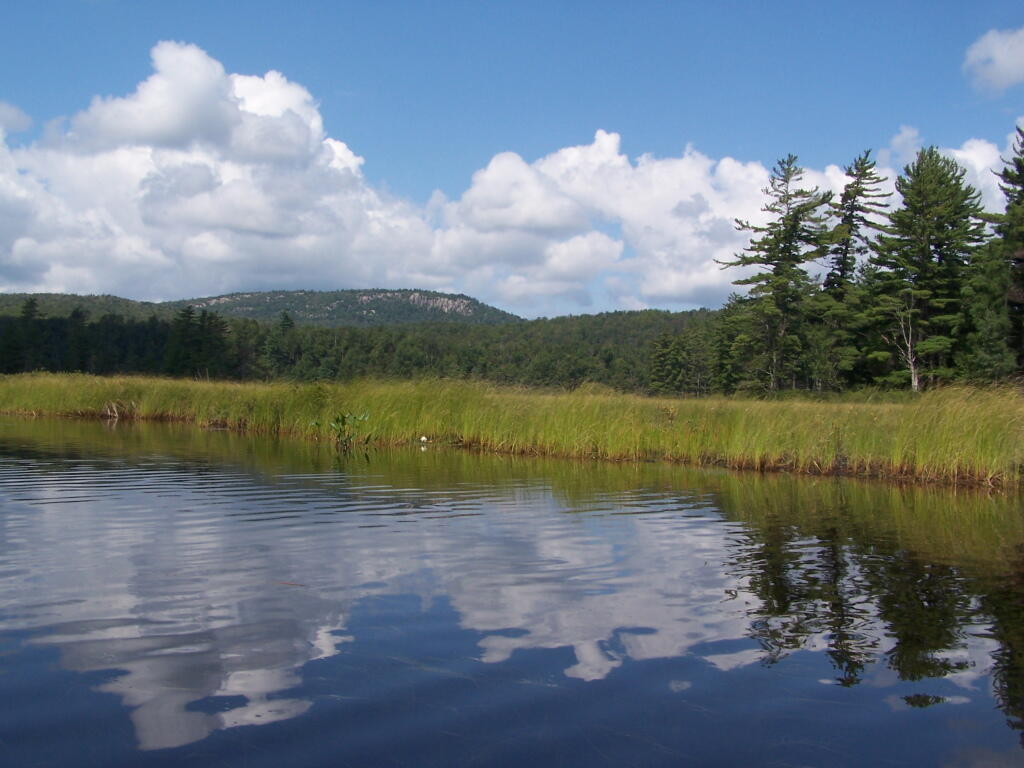
The Channel. The lake turns once again, with beautiful marsh lands along the edge of the lake.
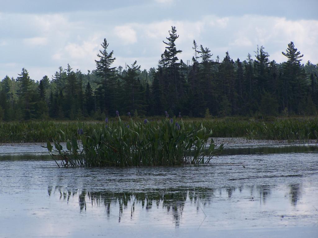
Marshy. Portions of Hitchens Pond are quite marshy, and can be tough going, especially if one gets out of the channel.
Trees. These trees line the last big turn at Hitchens Pond, where you finally get into the main bay, as you head towards the Upper Lows Dam.
Marshland. Along Hitchens Pond as we get closer to Lows Upper Dam.
Lows Ledge. Now we are almost up to the portage for Lows Upper Dam. Quite purty I must say.
Kayakers Pull Out. You have to pull your boat out of the water, and carry it over the Lows Lake Upper Dam, about a 10 feet elevation, and maybe a 50 foot portage.
Bog River Area Pull Off. A lot of people pull out here, for lunch. Or they can be fools, and not use the channel to bottom of the dam, and carry their canoes, an additional 1/4 mile for no real purpose, to get it over the Lows Upper Dam. Not like I would be that stupid, now right? Of course, I just covered my camera with beer, so I shouldn’t be opening my mouth.
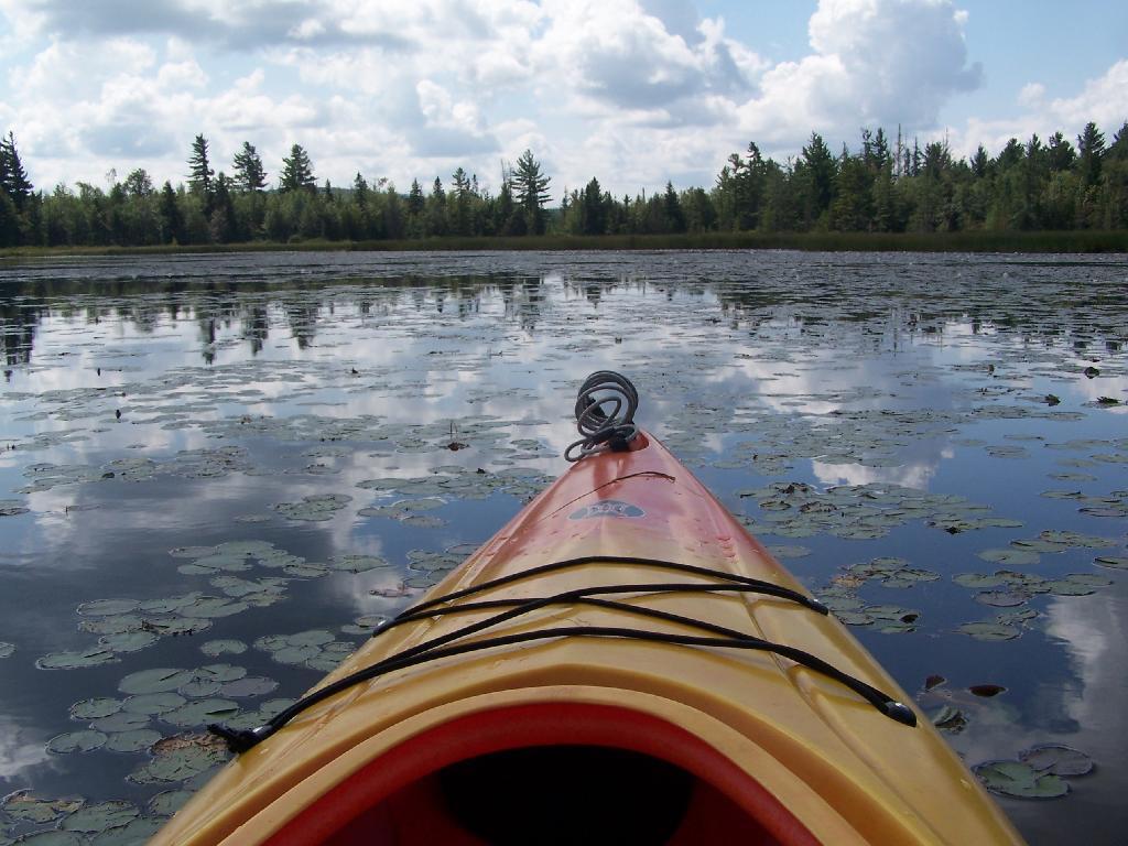
Lows Upper Dam. This is the last picture I got for the day, because I dropped the camera in a pool of beer in kayak, and things go wet. Eventually the camera dried out and started to work fine, but for now, we have to go pictureless. From here, the bottom portion of Lows Lake proper, above the Upper Lows dam, is much like the bottom part of Hitchens Pond, narrow, deep channel, that widens up.
Above Upper Lows Dam. This is the channel above the Upper Lows Dam, which technically is Lows Lake now. About a mile up from here, the lake gets shallow, and you must portage up into the more open Lows Lake main section. Yes, the camera lens has beer in it, that now has to dry out before I can take any more pictures. Nothing until tomorrow. It’s my Friday the 13th luck and stupidity of leaving the camera in the kayak, not in it’s protective case, as I pull out, and spilled beer soaks everything.
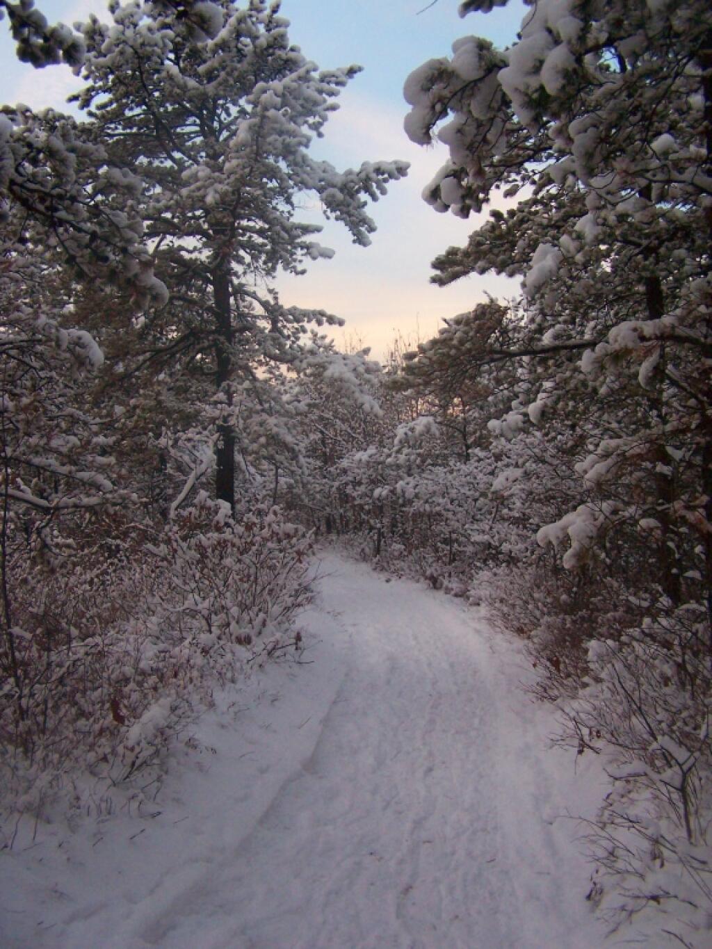
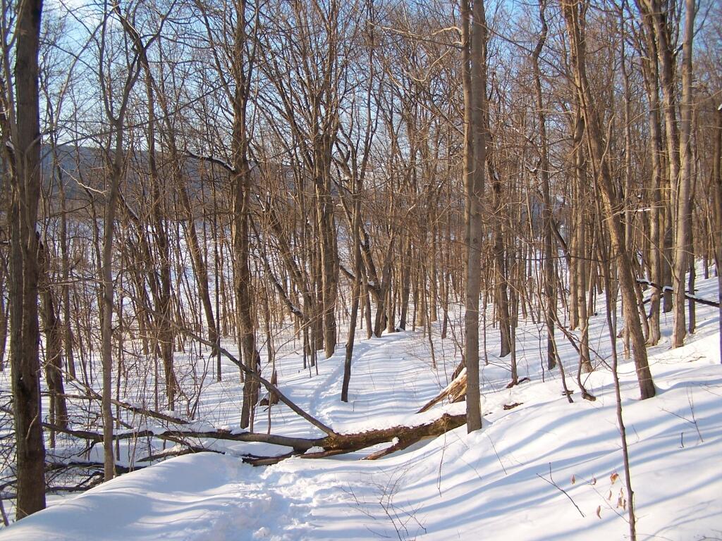
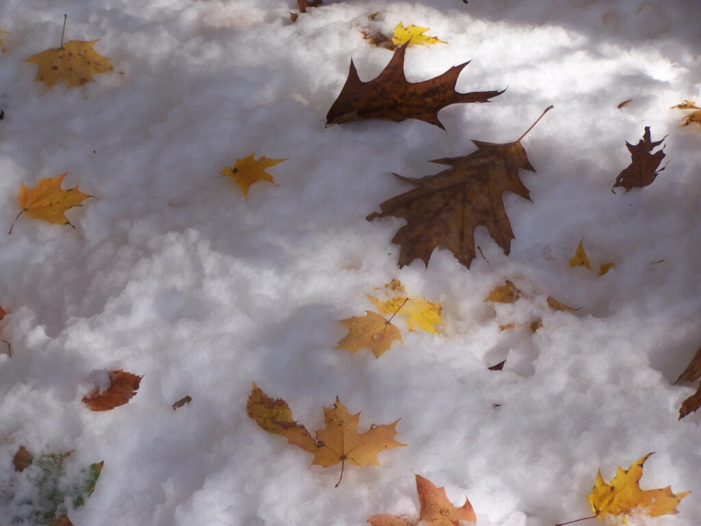
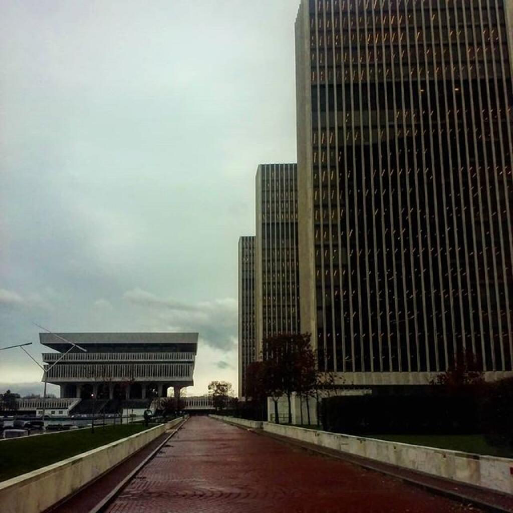
After a fresh snow fall it was a winter wonderland in the Albany Pine Barriens, a forever wild ecosystem on the outskirts of the city. It felt like one was walking through a marshmallow forest.
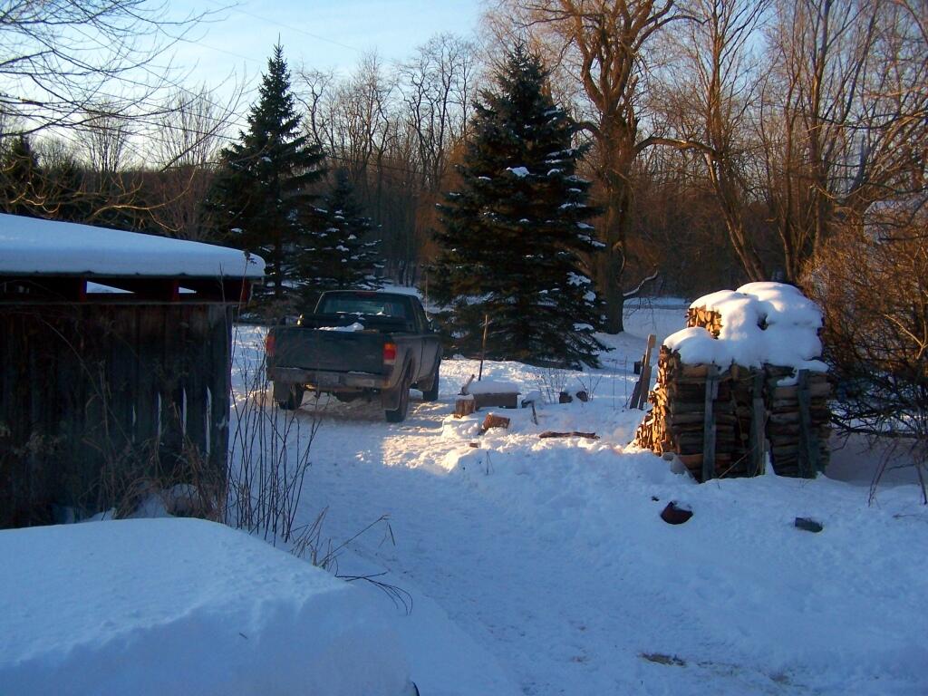
A cold winters day at my parents house in late January, after a long cold spell that never seemed to want to end.
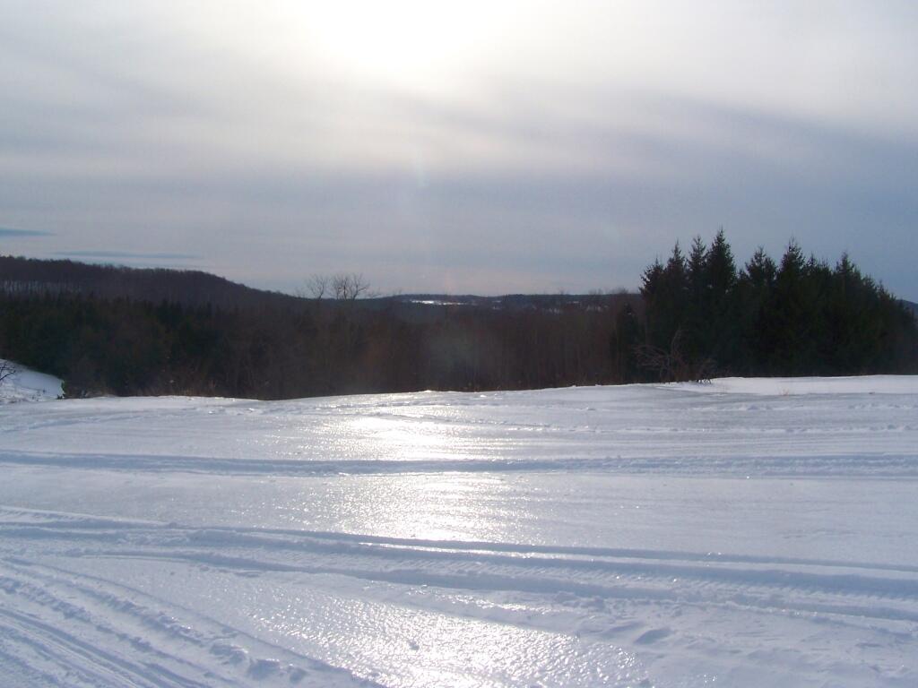
February.
A icy sheen shown on the snow at Partridge Run, as I went for an afternoon walk with the dogs up there in the middle of the month.
Snowshoeing back down Bennett Hill in late February.
March.
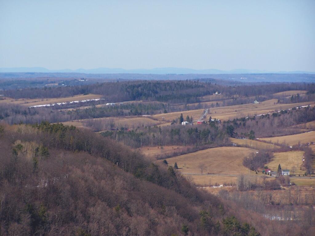
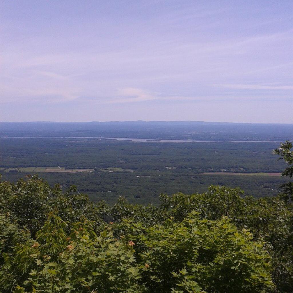
A recently logged section of Cole Hill provided breath-taking views of Irish Hill and the Fox Kill Valley down in Berne.
What a clear spring day up at Horseshoe Clove at Thacher Park. Warmer, nicer days can’t be far way.
April.
April 9th was the first day I got out camping in 2011. Spent the day exploring Rogers Environmental Center, camped at Moscow Hill Horse Assembly Area.
It may start to warm up earlier in lower elevations, but winter is still very much a force in late April in the Adirondacks. The East Sacanadaga River on this morning looks icy and cold.
May.
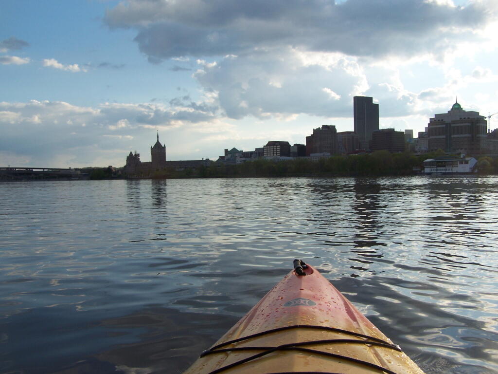
There’s Albany! From my kayak. I kayaked up to Downtown Troy from the Corning Preserve.
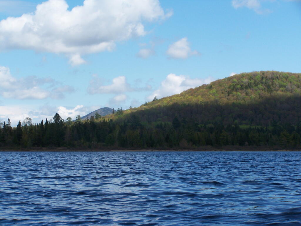
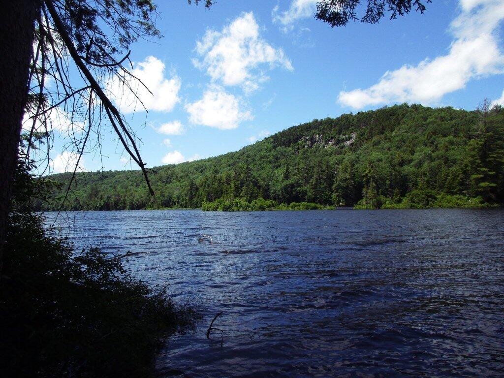
Spring finally comes to Adirondacks by late May. Paddling around Cheney Pond, looking towards Sand Mountain in the distance, on the other side of Hoffman Notch.
June.
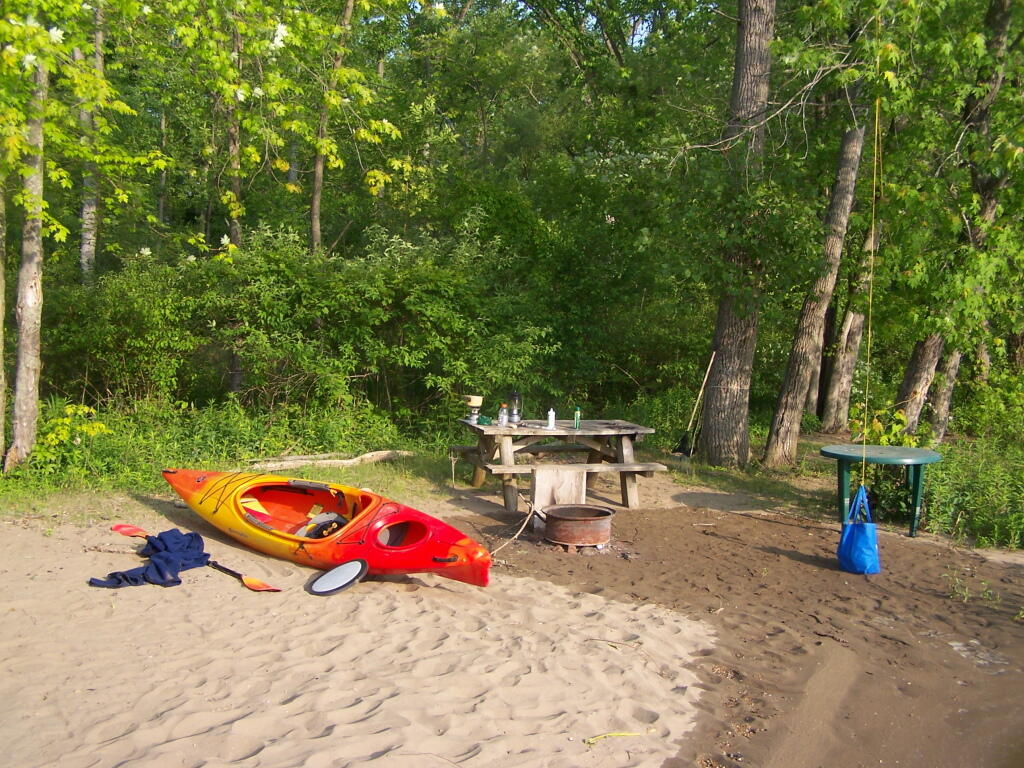
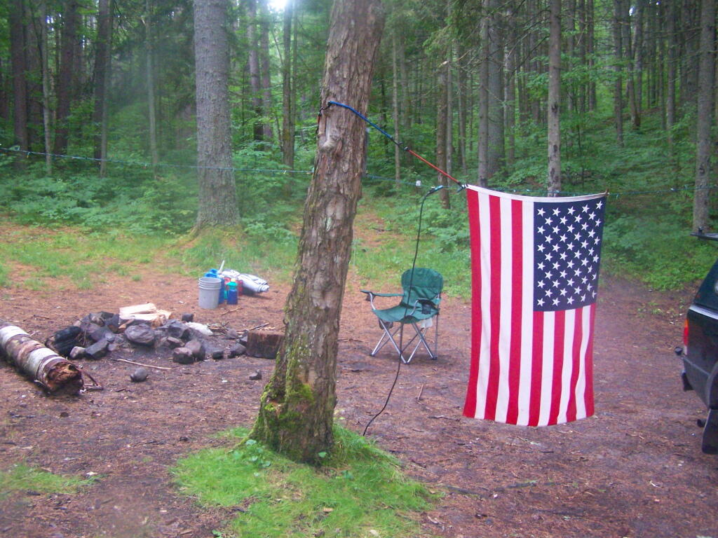
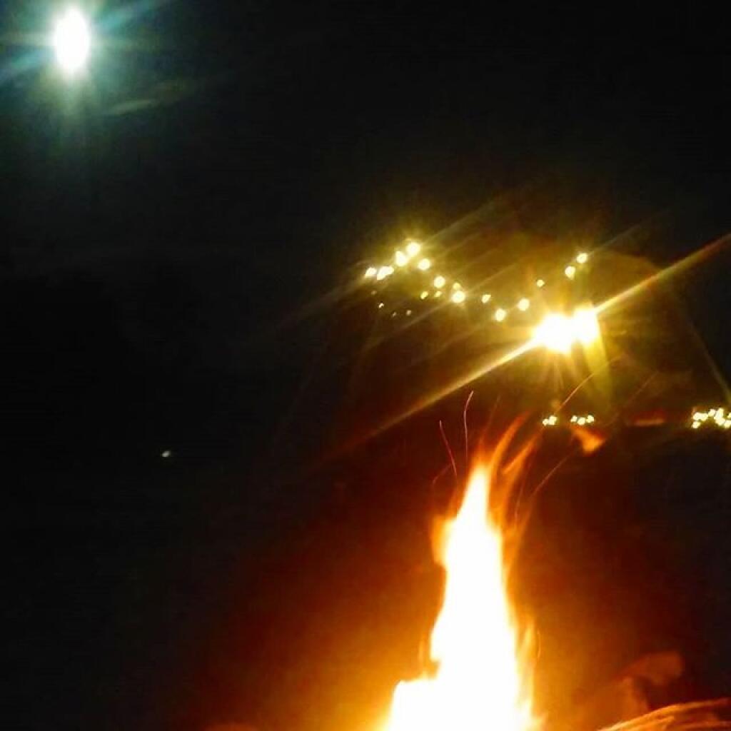
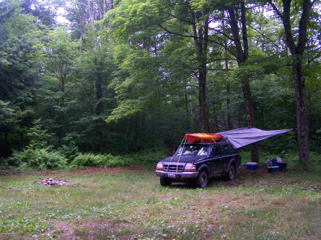
Kayak camping on Stockmans Island in the middle of the Hudson River. What an adventure, one I picked on a night when they had fireworks up at the Coxscake Town Park.
Oswegatchie River up in Watson’s Triangle in Adirondacks. There are few places as remote as this that you can drive on largely unmarked and rarely traversed back country roads. Watson’s Triangle is a place far of the beaten path.
July.
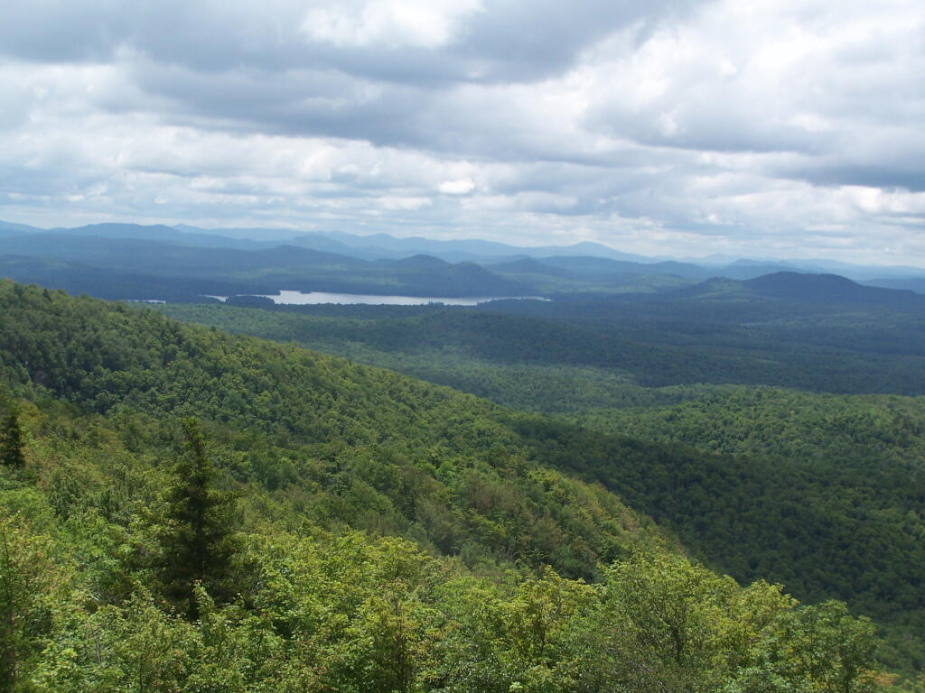
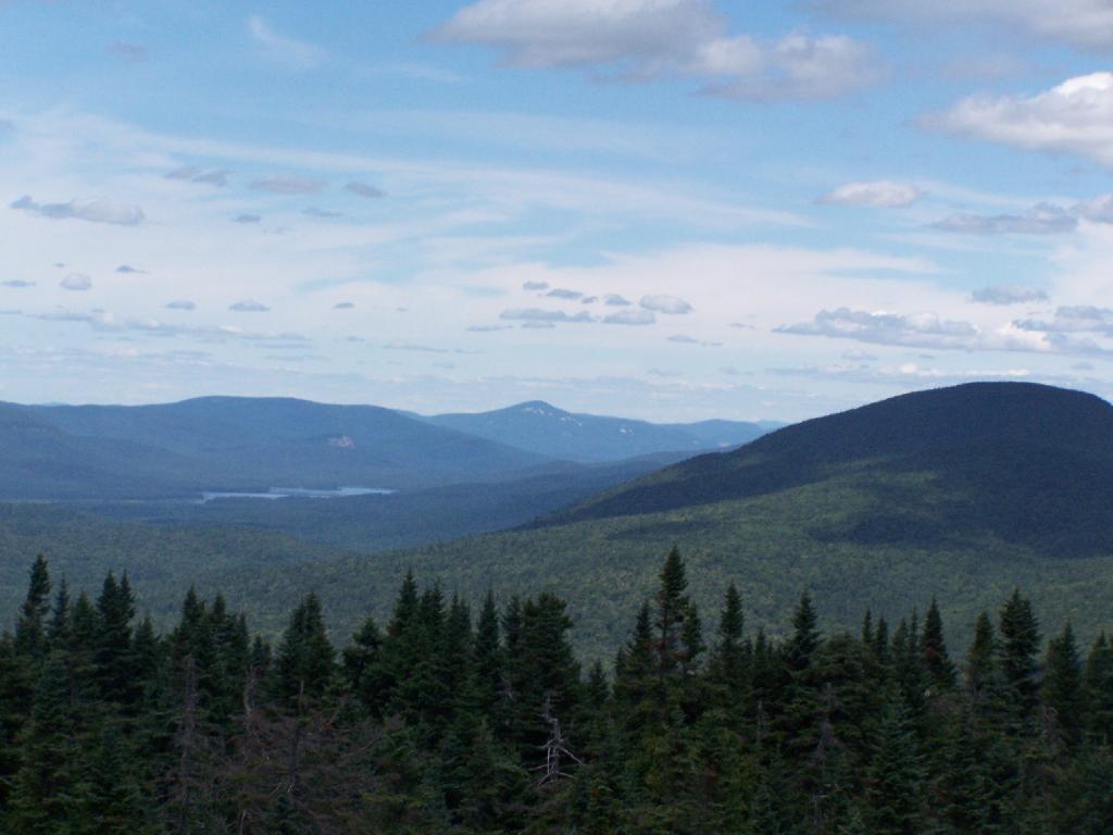
A dramatically cloudy day, looking down towards Tupper Lake from Mount Arab.
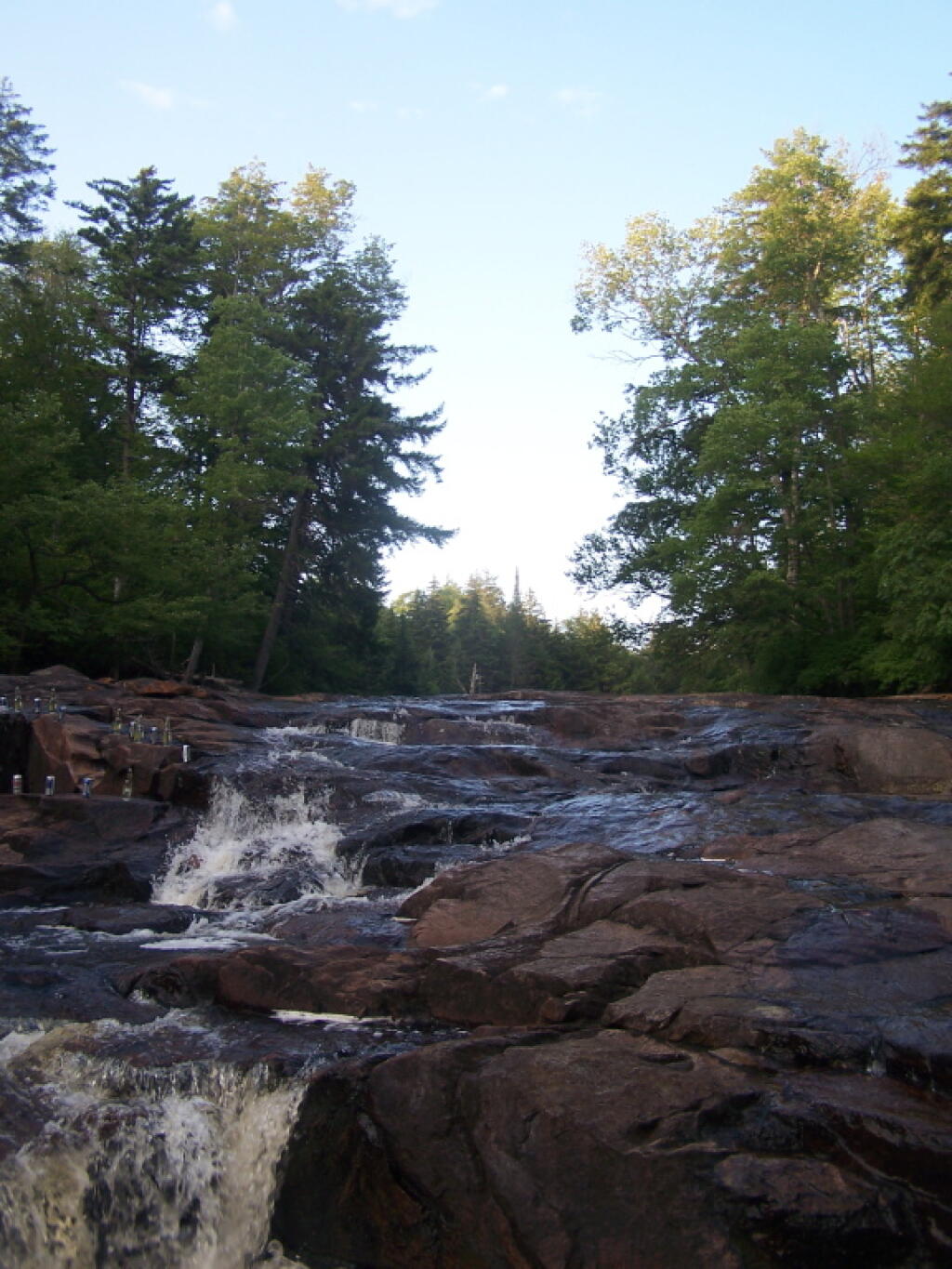
Cooling off at the Potholers on an oppressively humid summer’s day.
August.
Exploring Beaver Creek at the Brookfield Railroad State Forest in Brookfield, NY.
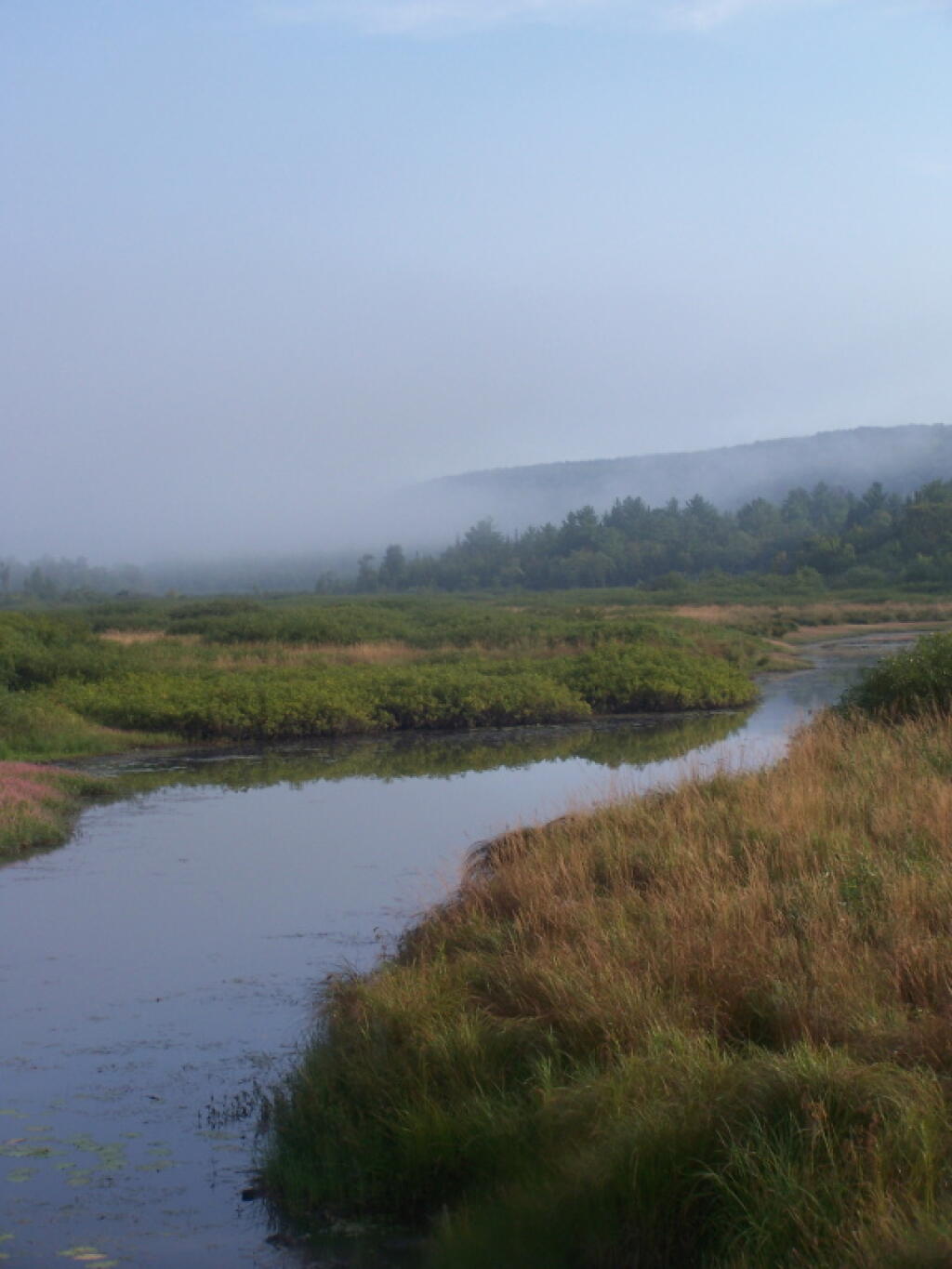
Watching the fog burn off Beaver Creek at Brookfield Railroad State Forest on a summer morning..
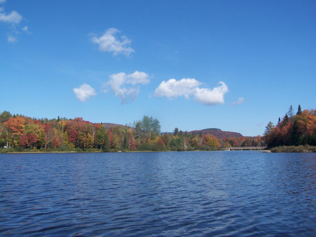
September.
A beautiful late summer morning at North Lake in Adirondacks. North Lake is such a jewel, especially as you head farther north on the largely undeveloped portion of the lake.
Fall was well underway, and even past peak at Moose River Plains by September 20th.
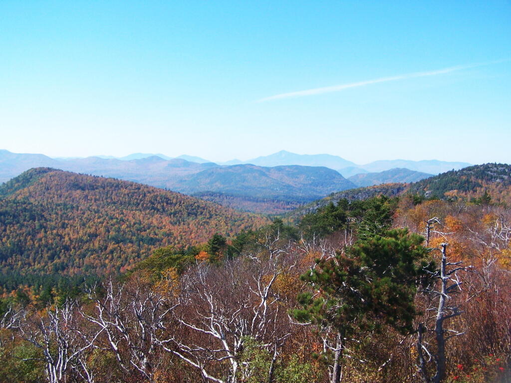
October.
Second week of October, I went up to the North Country for some leaf peeping, hiking, and kayaking. The colors may be faded in Central Adirondacks, but still were good in lower elevation parts of the Northern Adirondacks.
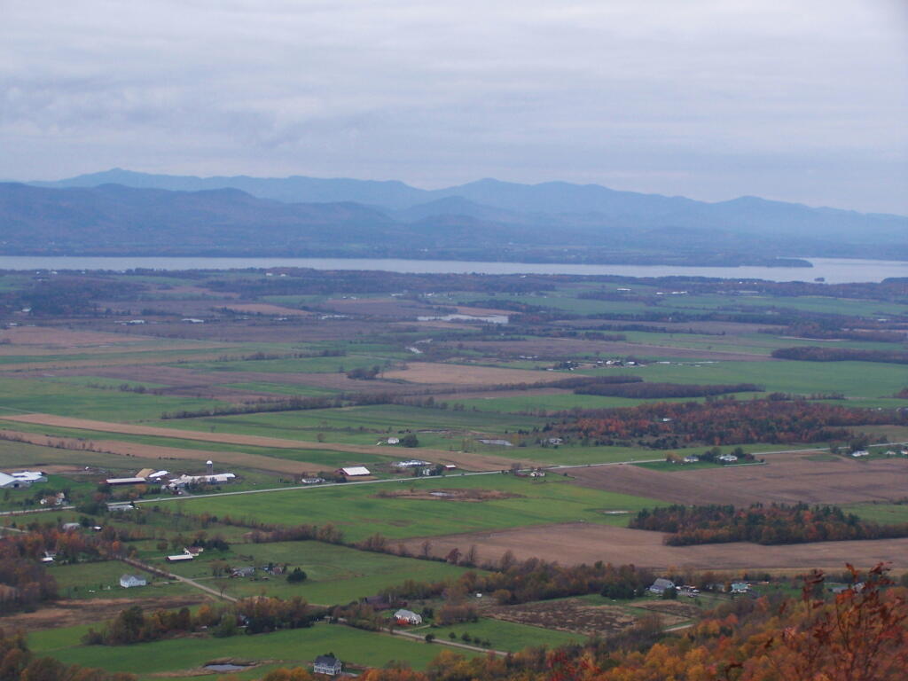
And later in October, I drove up to Snake Mountain in Vermont, overlooking the Champlain Valley and the Adirondacks. Colors lasted the longest
And by October 30th, we had snow, actually several inches, as seen up at Lake Taghkanic State Park.
November.
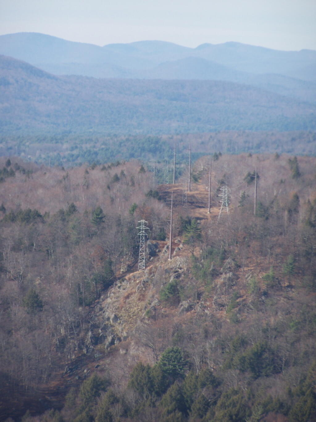
In November I visited Monreau Lake State Park for the first time, and checked out the Palmerstown Ridge above the Hudson River and Spier Falls. These power lines transfer power from Spier Falls Hydro Dam over to Corinth.
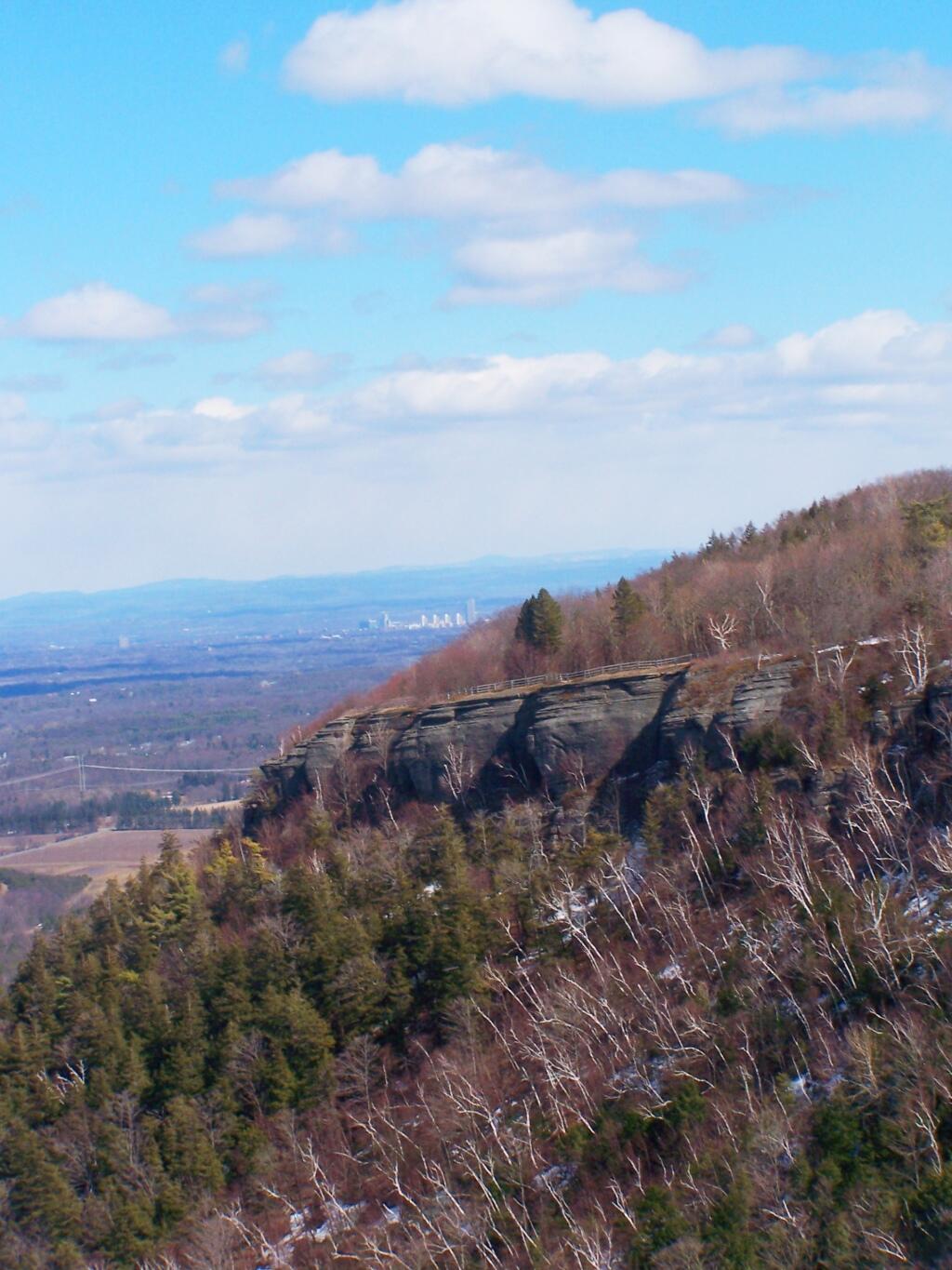
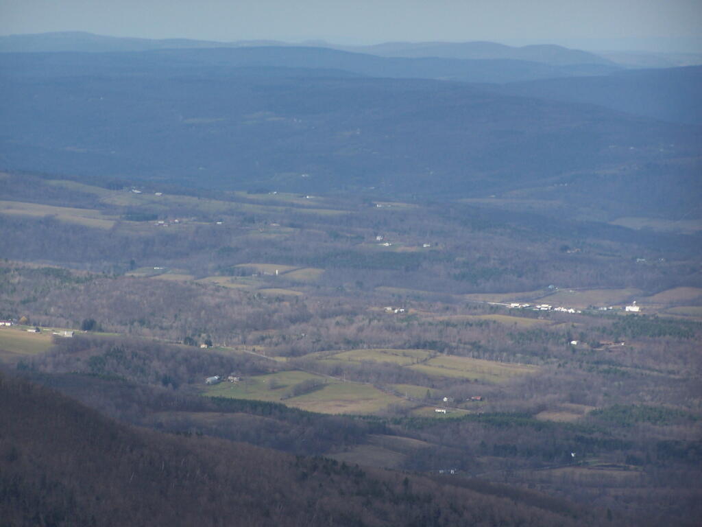
I also hiked up Windham High Peak. I hadn’t been there in many years, and it was interesting to look down at Preston Hollow and Medusa, far, far below.
December.
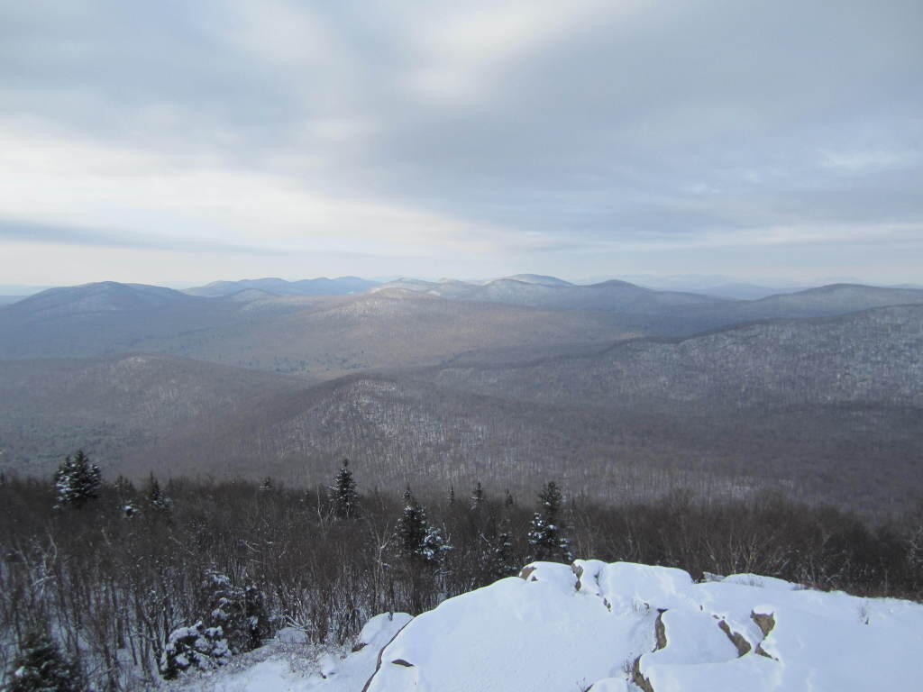
On Christmas Day, I hiked up Hadley Mountain. While cloudy and cold, it was very beautiful.
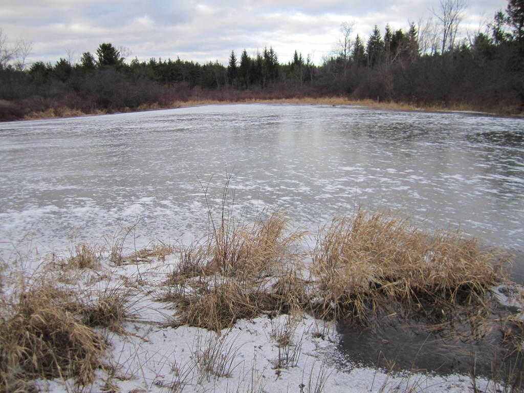
While the pond at Thacher Park was frozen, there still is very little snow locally.
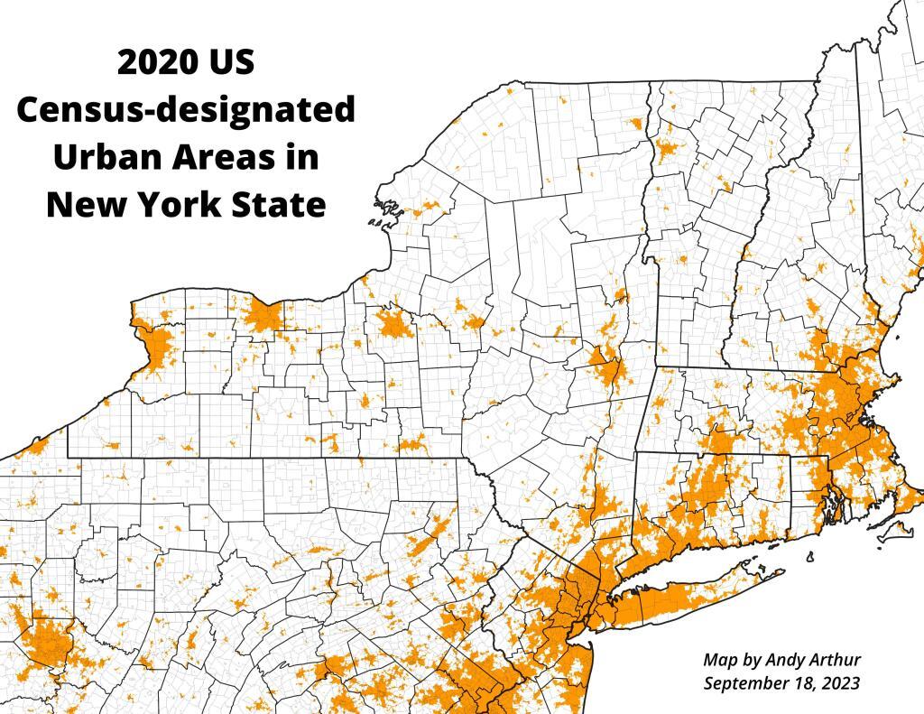
This past year, I got up to nine different Adirondack Wild Forests as part of my explorations of the Adirondack Park. Did a lot of hiking, kayaking, and camping. The map below shows the Adirondack Park’s various units.
I camped in Aldrich Pond (1 night), Black River (4), Debar Mountain (3), Ferris Lake (5), Independence River (2), Moose River Plains (3), Taylor Pond (2), Vandwhacker Mountain (1), and Wilcox Lake (4). My preference for certain Wild Forests over others, is not just based on scenic beauty or activities to do, as much as closeness to Albany and compatability with weekend plans.
I saw quite a bit of Adirondack Park for sure.
Aldrich Pond (1 night)
Camped one night on Streeter Lake Road in Aldrich Pond Wild Forest near the hamlet of Oswagatchie. Paddled part of Little River and Streeter Lake.
Black River (4 nights)
Camped two nights at Wolf Lake Landing Road. Paddled around Woodhull Lake, hiked over to Remsen Falls.
Camped two nights at North Lake. Sat down by the lake, enjoyed the moonlight. Explored Atwell and part of South Lake.
Debar Mountain (3 nights)
I camped for two nights at Mountain Pond near Paul Smiths, NY, while visiting the Saint Regis Canoe Area.
Then coming back from North Country, I decided to spend a night at Jones Pond, which is between Rainbow Lake and Paul Smiths.
Ferris Lake (5 nights)
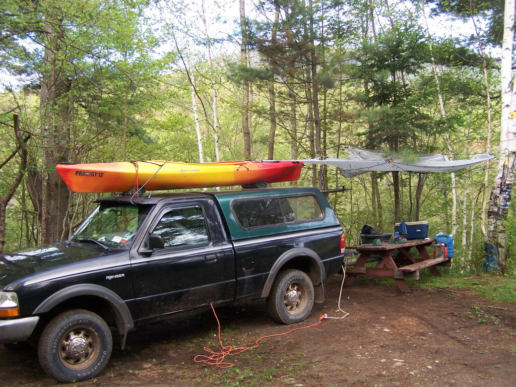
I did two weekend trips up to Ferris Lake Wild Forest. The first was during Memorial Day Weekend, which was pretty wet and rainy for most of the weekend. The second was during the mid-summer on a super oppressive, hot and humid day out. While I explored Edick Roadside Camping, and also Good Luck Lake, both times I roadside camped on Piseco-Powley Road, three nights at PR 9, one night at PR 4, and one night at 11.
Independence River (2 nights)
Camped two nights at Independence River Wild Forest on Smith Road, at field Campsite 1. There are ten campsites on this road, including one with an outhouse. Several of them are located in old logging load pads, that are now mowed as fields for camping. Nothing particularly fancy here.
Moose River Plains (3 nights)
Planned to spend a week at Moose River Plains, brakes failed on third day up there. Still got three days of fall camping in along Cedar River – Limekiln Lake Road. Camped one night at Campsite 24, and two at Campsite 57 this year.
Taylor Pond (2 nights)
Camped up at Union Falls for two nights in the fall, while hiking and exploring several locations in Clinton County and eastern portion of the North Country.
Vandwhacker Mountain (1 nights)
Camped one night at Cheney Pond at the Vanderwhacker Wild Forest.
Wilcox Lake (4 nights)
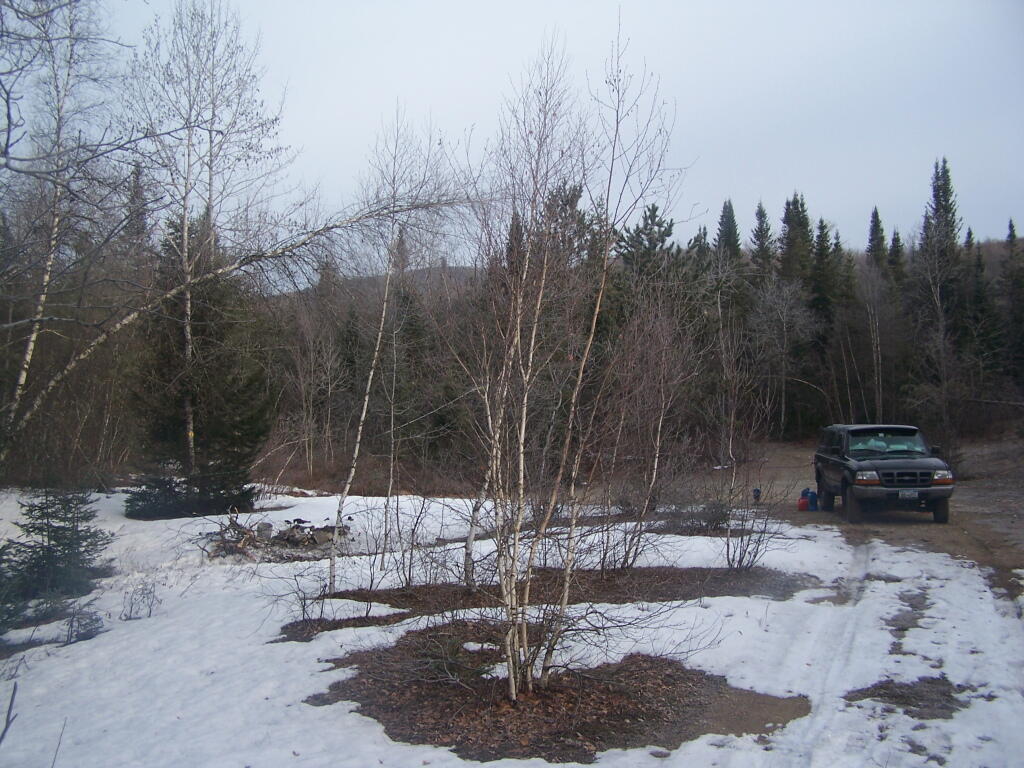
Camped three nights up off of NY 8 — one at an old Gravel Pit along the East Sacandaga River in April when the snow was still there, two nights at Fox Lair Campsite, and one night at Hope Falls Road, which is off of NY 30, near Northville.
I have spent a lot of this past summer exploring the Black River Wild Forest, and decided it would be a good to share my experiences and some of the roadside and other campsites I’ve discovered along the way. As of September 2011, Lands and Forests in Albany doesn’t have these campsites in the central inventory, so all of this campsite data is based on personal exploration of these campsites.
North Lake.
Some of the best camping in the Black River Wild Forest is North Lake in Atwell. There are 22 campsites — many of them vehicle accessible along this man made lake. The southern end of the lake has some private houses and cabins on it, but it still is relatively pristine and beautiful. Most sites have outhouses and fire pits. Some but not all sites have limited wood supply. All sites designated.
Motors are allowed on this lake — as are on all wild forest lakes — so don’t be surprised to hear a jet ski or small boat on there. There are no public boat ramp on lake, so only hand launched boats can get on the lake.
Click to download or print this map.
South Lake.
South Lake is another Erie Canal Corp / Black River Reservoir near North Lake. There is a single large campsite on South Lake, with a private in-holding on the other side of the lake. There may be other campsites here, as I didn’t explore this whole lake. There is an outhouse here, grassy field for camping, fire pit.
Click to download or print this map.
Reeds Pond.
There are a couple of campsites along Reeds Pond, North Lake Road, and Farr Road as you head up to North Lake from Forestport. This pristine, but relatively small pond is fairly popular for camping.
Click to download or print this map.
Wolf Lake Road.
There are 5 fairly remote roadside campsites along Wolf Lake Road, as you head down to Woodhull Lake. Note also how there are lean-tos at Bear Lake and Woodhull Lake. The roadside campsites have no facilities, and some can be muddy as they are not hardened with gravel.
Wolf Lake Road has recently been rebuilt and resurfaced with gravel, however spring rains did lead to one part that may lead low-clearance cars to bottom out. Camp on this road, and your unlikely to see more then 2-3 people drive by on any particular day.
Be aware that the last 1/8th of a mile to Woodhull Lake is gated, so you’ll have to carry your boat the rest of the way down to the lake.
Click to download or print this map.
Remsen Falls.
Remsen Falls, which probably should be called “Remsen Rapids”, is a popular swimming place, and offers two well used campsites. There is an outhouse and picnic table down here. The trail follows a gated dirt road.
I don’t know about you, but I am getting awful tired of the cold. Winter seems to drag on much too long. But to remind us that there is such thing as hope, and that it will be really nice out in a few months, a few warm weather pictures and memories will help.
A Hot Dog!
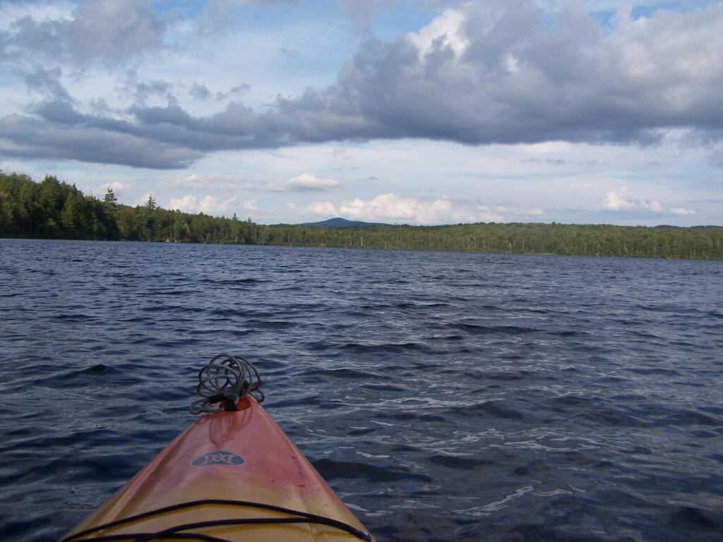
Paddling Across Horseshoe Lake!
Hot Summer Eve on Taconic Crest Trail!
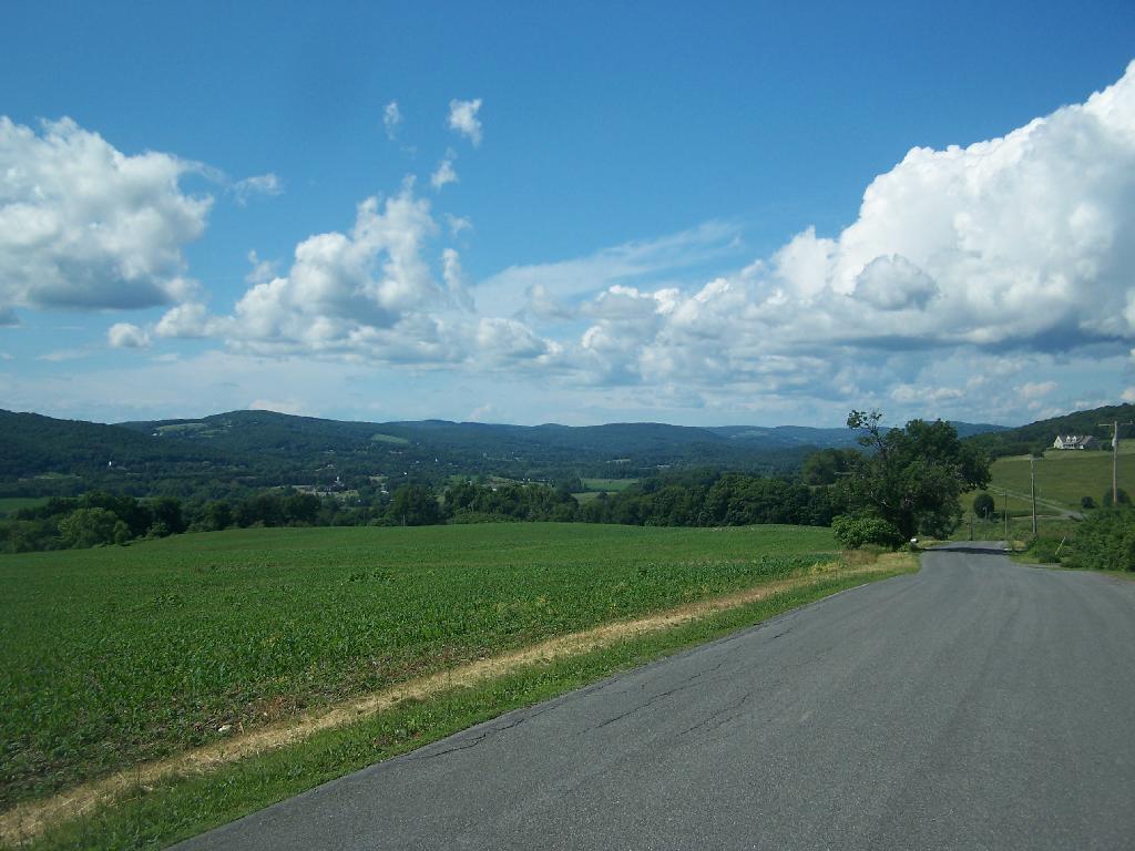
Corn Field South of Hillsdale!
Lows Ledge!
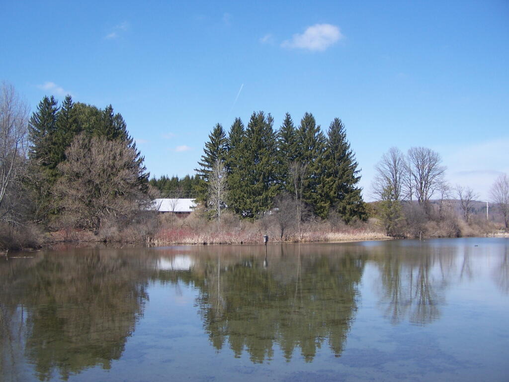
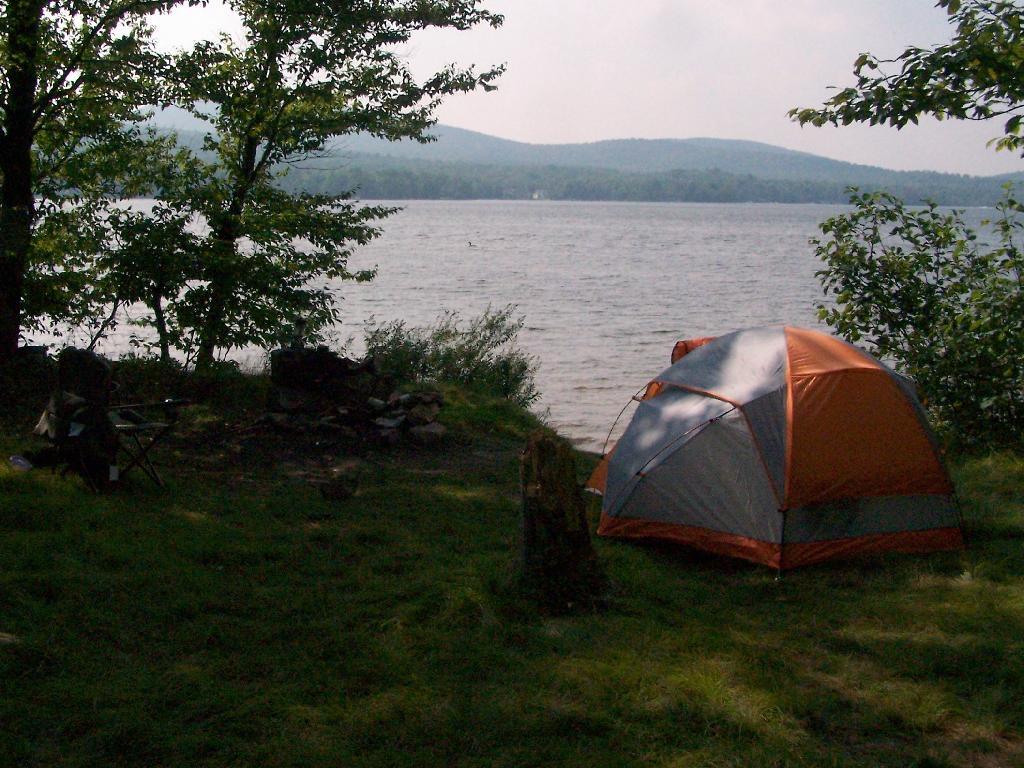
Camping at Lake Chazy!
The important is to remember that summer will come eventually, and it will be so amazing as always. Just count down those winter days, and focus on the warmth of summer.
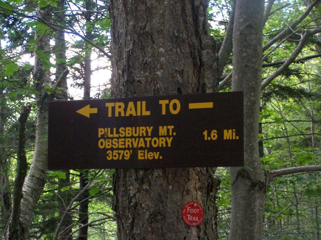
Pillsbury Mountain Firetower is located at the edge of the Jessup River Wild Forest and the West Canada Wilderness. To reach there, you have to drive North of Spectulator, and take about 6 miles of fairly smooth logging roads through International Paper’s Perkins Clearing Easement.
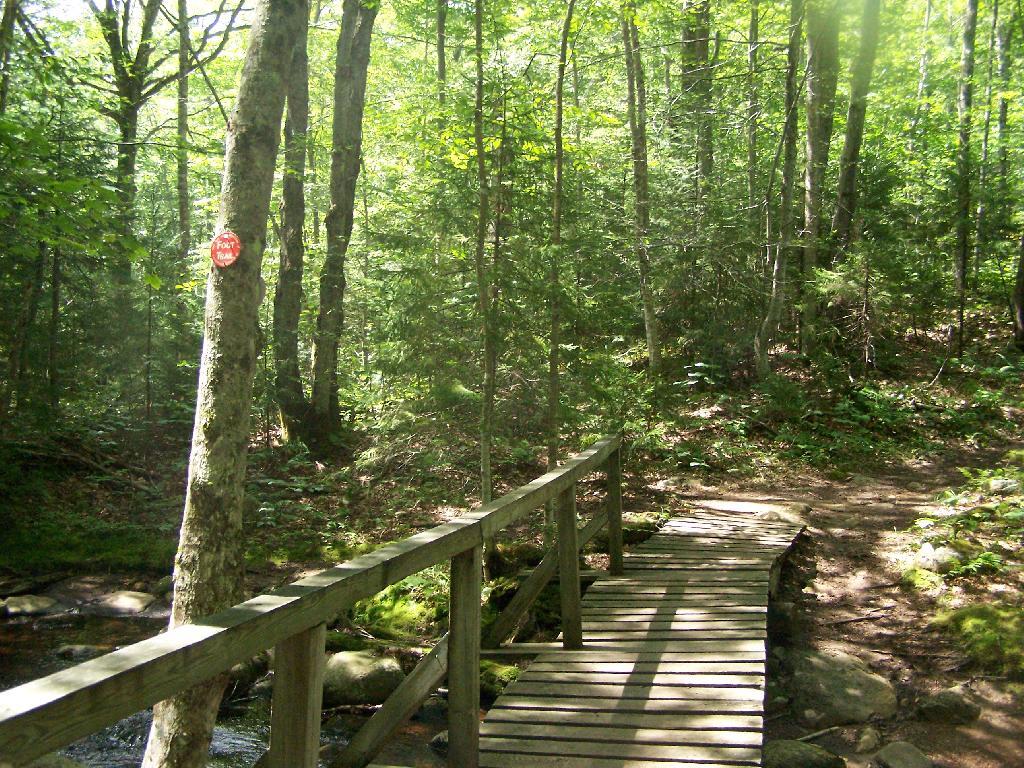
Hiking Bridge Across Miami River. Not that th Miami River really deserves to be called a river, but on the trail up the Pillsbury Mountain, its particularly small.
Taking the trail Up Pillsbury Mountain. It’s about two miles long, and not a difficult hike, although you do gain about 1200 in elevation.
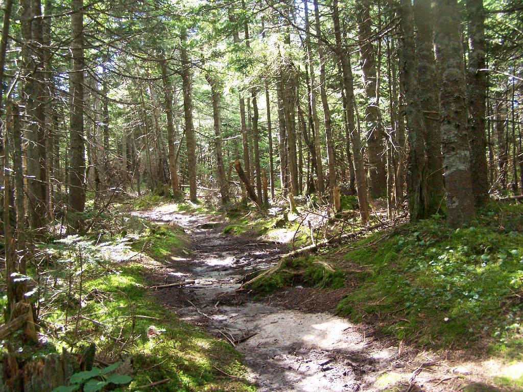
About a 1/4 mile before reaching the tower, reach marshy and thick boreal forest that the trail passes through, with some re-routes to avoid the muck kicked up over the years.
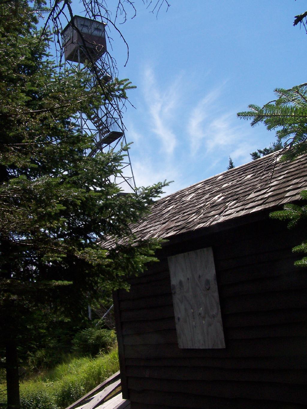
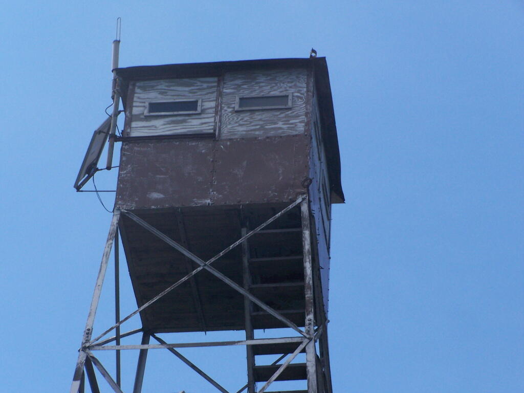
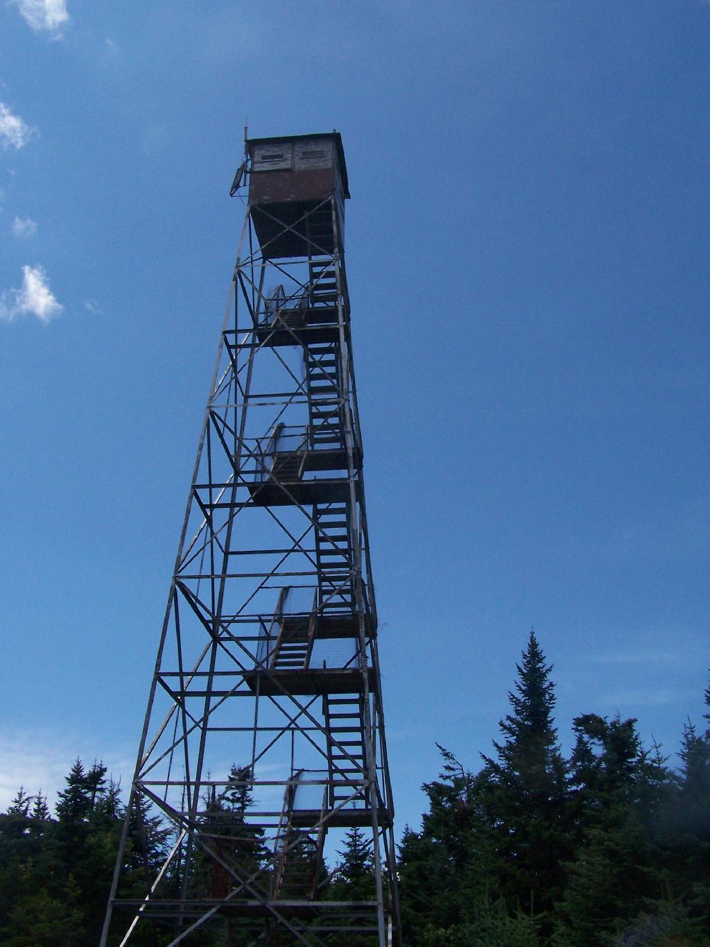
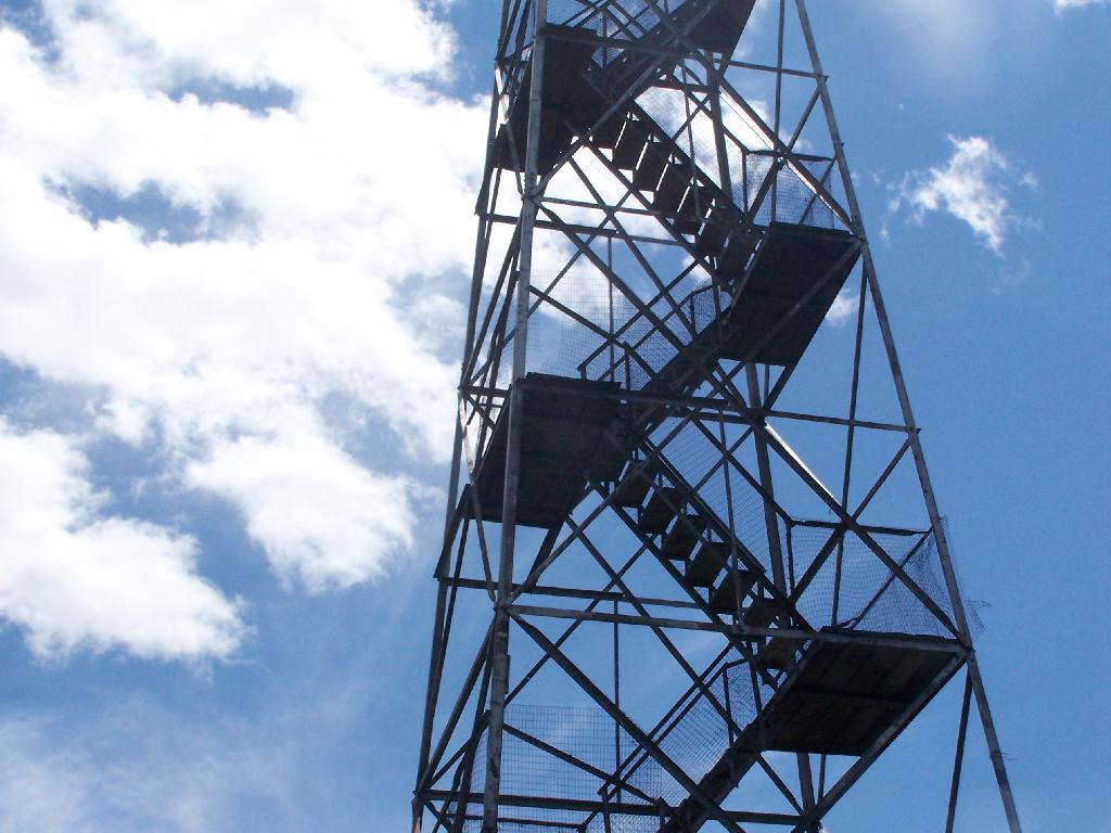
Approaching Fire Tower.
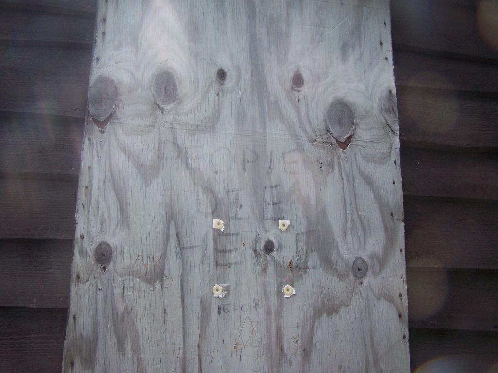
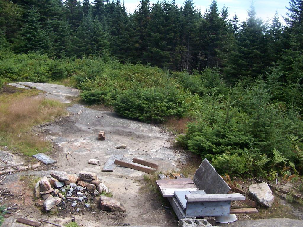
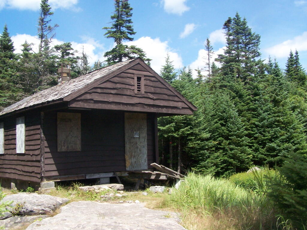
People Die Here. I kid you not, that’s what the cabin says when you first get here. Combined with the creepy fire tower top, it’s kind of neat.
Tower Cabin. That sure looks scary, doesn’t it? Now I understand why people die up here, probably with a secret DEC Forest Ranger, who hides up there, shooting at people he or she doesn’t like. Or maybe not.
The tower is pretty conventional with normal looking landings, a rangers cabin, and a clearing for a helicopter to land in an emergency.
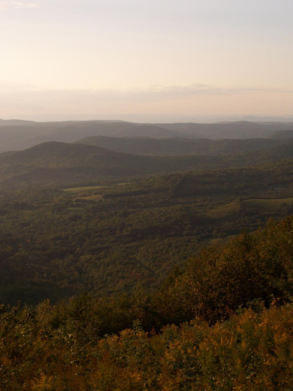
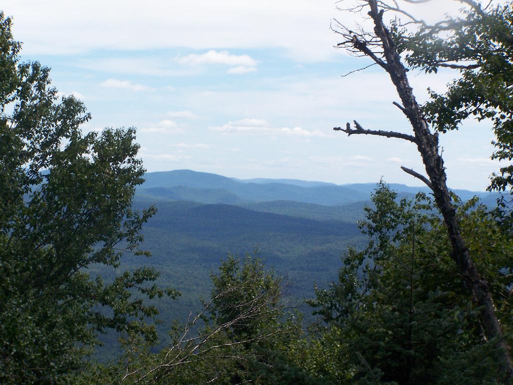
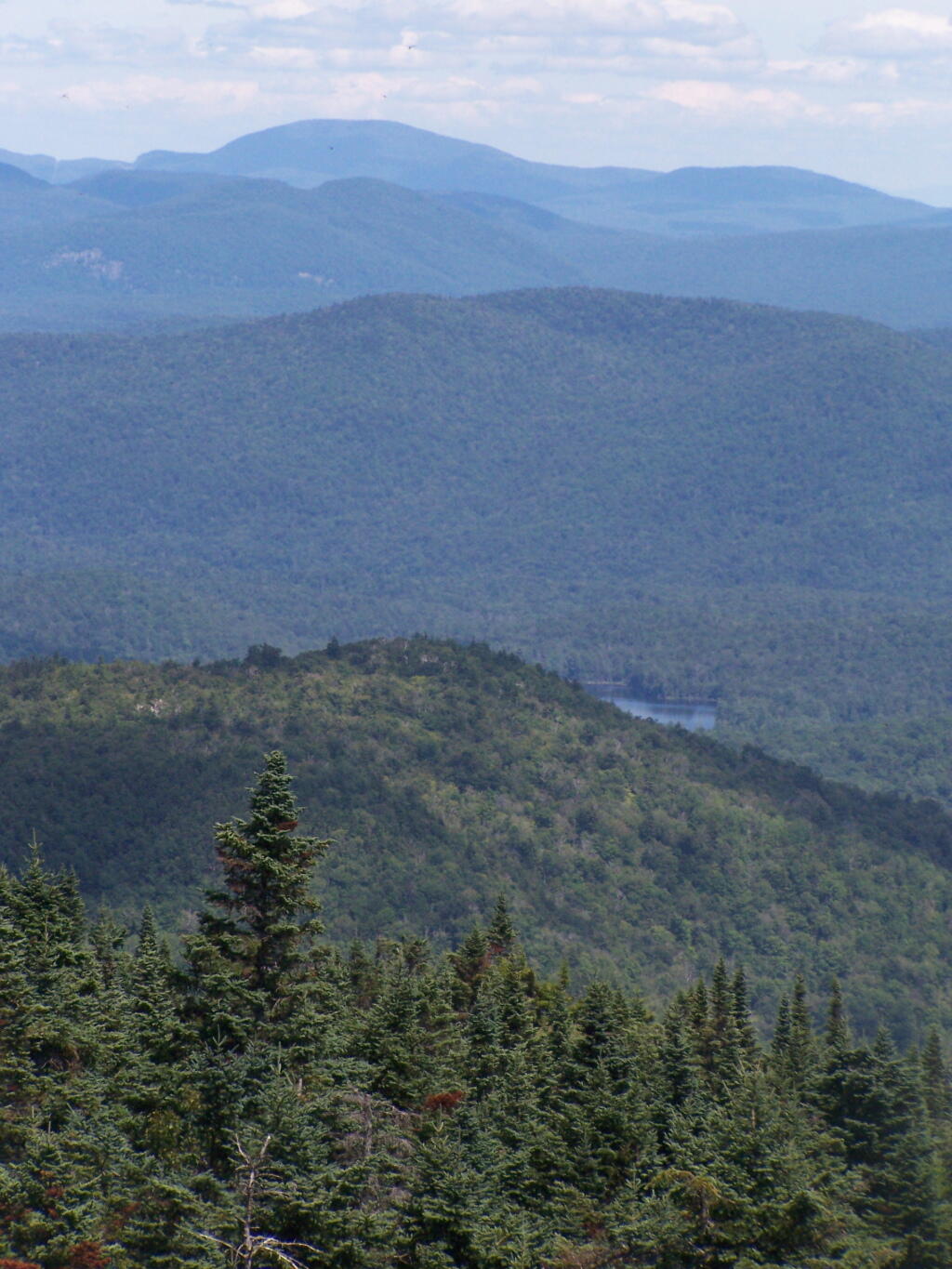
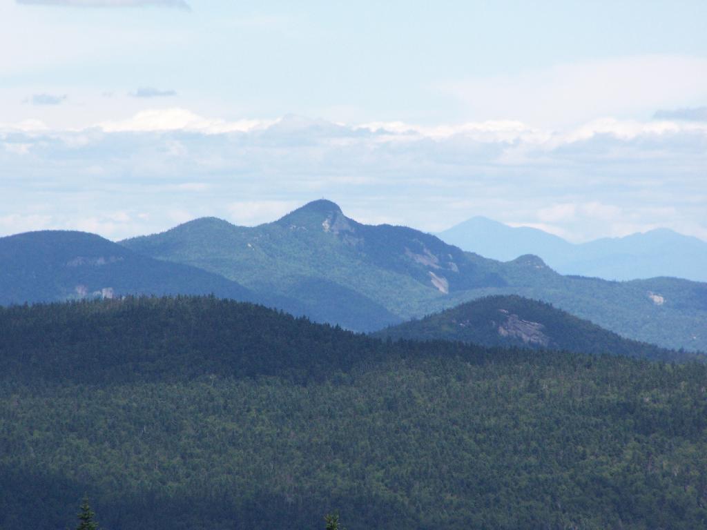
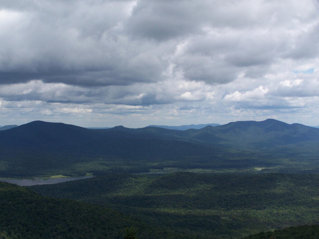
The views from the tower are quite great. Looking east thru the Jessup River Wild Forest.
Snowy Mountain to the North. If you look carefully, you can see the tower up top of it.
South towards Lake Pleasant and Spectulator.
Moose River Plans and West Canada Creek Wilderness from Pillsbury Mountain Fire Tower.
North towards Cedar River Flow and Wakely Mountain. If you look carefully, you should be able to see the Wakely Mountain Firetower from here.
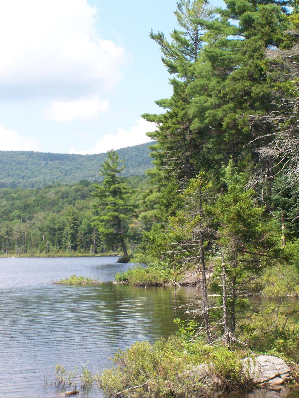
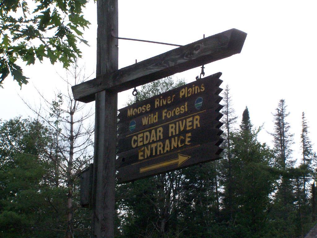
In preparation for my summer vacation I decided to drive through the Moose River Plains Wild Forest. This area has been subject to quite a bit of controversy over the years, in part from the environmentalists who do not believe “drive-in” camping is appropiate use of Adirondack Wild Forest, and most recently from the State DEC which threatened to close this 30 mile truck trail due to a lack of funds.
While my camera was broken while I was able to grab a few pictures. I will take more when I get back from my week up there.
Here is the route. The first 5 miles of Cedar Plains Road from Indian Lake is black top, and rapidly transitions to rough dirt road.
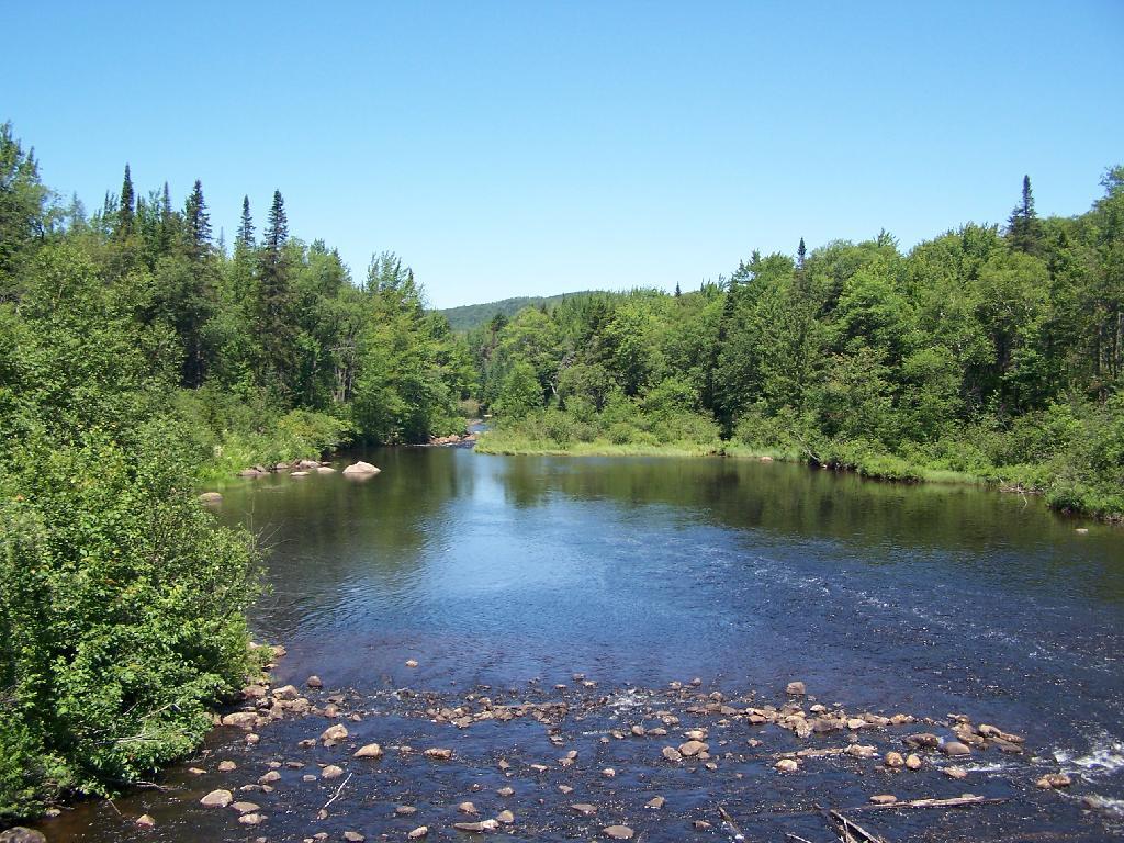
Along the next 20 miles of Moose River Plains Road, there are about 150 campsites, used by tent campers and RVs alike. Many are located far off the roads, and provide a great deal of privacy. The landscape is one of hills, mountains, and deep valleys, and then eventually becomes open sandy plains as you head east. It’s over an hour drive from here to Inlet, via a very rough state truck trail.