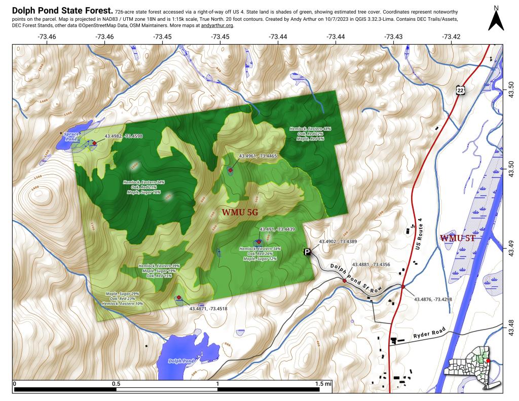
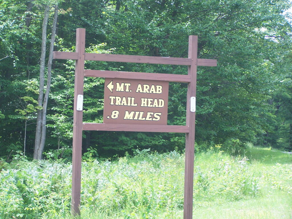
This past week, I decided to re-do the Moose River Plains Maps I had previously rendered in QGIS. I got some new data from the DEC, and wanted to simply the existing maps by taking off Wilderness Boundaries, and other details not of particular interest to hikers, campers, and kayakers. I also removed campsites that are in process of being removed or relocated under the finalized Unit Plan for the area. Be aware that the elevation on these maps is metric, as that’s what the NYSDOT Topographic Maps use in this region.
Click on any of the maps to display the high resolution version, that you can download and save, or print. Laser printers are great, especially for the Cedar River Flow Maps, as they’ll keep the ink from the running. All of these maps are free for you to use and distribute as they are based on public data. If you have ideas on how to improve these maps or seek similar maps of the area of other trails or locations, please feel free to contact me at andy@andyarthur.org.
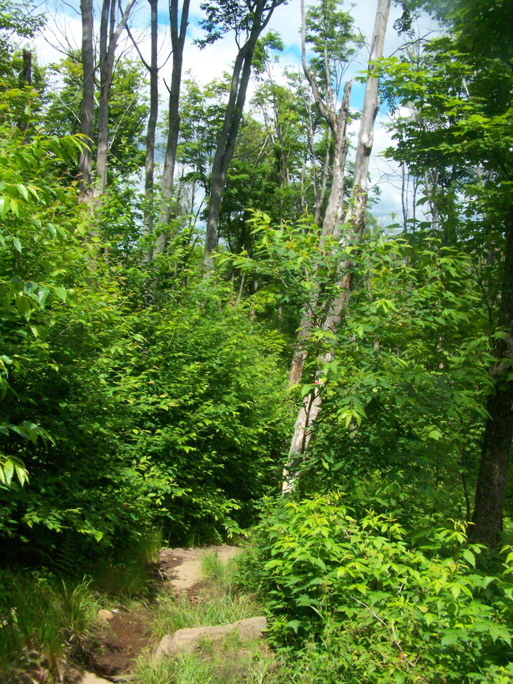
There is no charge to camp here, however if you plan on staying more then 3 nights, you will have to a get a free permit from the forest ranger. Most campsites offer picnic tables, fireplaces or rings, and outhouses. Moose River Plains are all back country dirt roads, with a speed limit of 15 MPH, and there are some rough sections on the roads. As of September 2011, all of the roads shown on these maps are open.
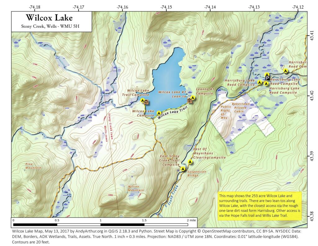
Moose River Plains Camping Area.
Roads are red, hiking trails are black dotted lines on the map. All of the campsites in pink shaded area (“Moose River Plains Camping Area”) offer vehicle accessible camping including RVs and other tow-behind campers. The campsites outside of the “Camping Area” — specifically those on Otter Brook Road — will in the future be reserved for tent camping (most with vehicle accessability) except during Big Game Season when campers will be allowed at all sites. Most of the other trails with campsites on them offer wheelchair or mountain bike accessiability, as they tend to be gravel paths.
Moose River Plains Campsites.
Note: Campsites are numbered starting from the east, as you are coming from Cedar River Flow, heading towards Limekiln Lake. Many campsites have been closed or added over the year, and that’s why there are many gaps in the numbering system.
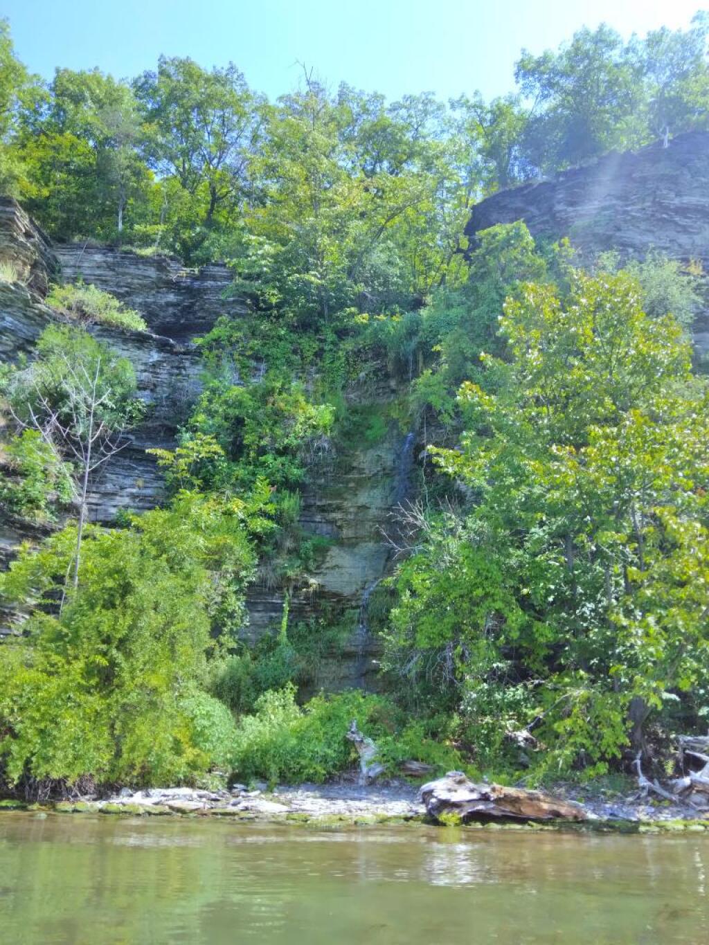
Cedar River Flow and Wakely Dam.
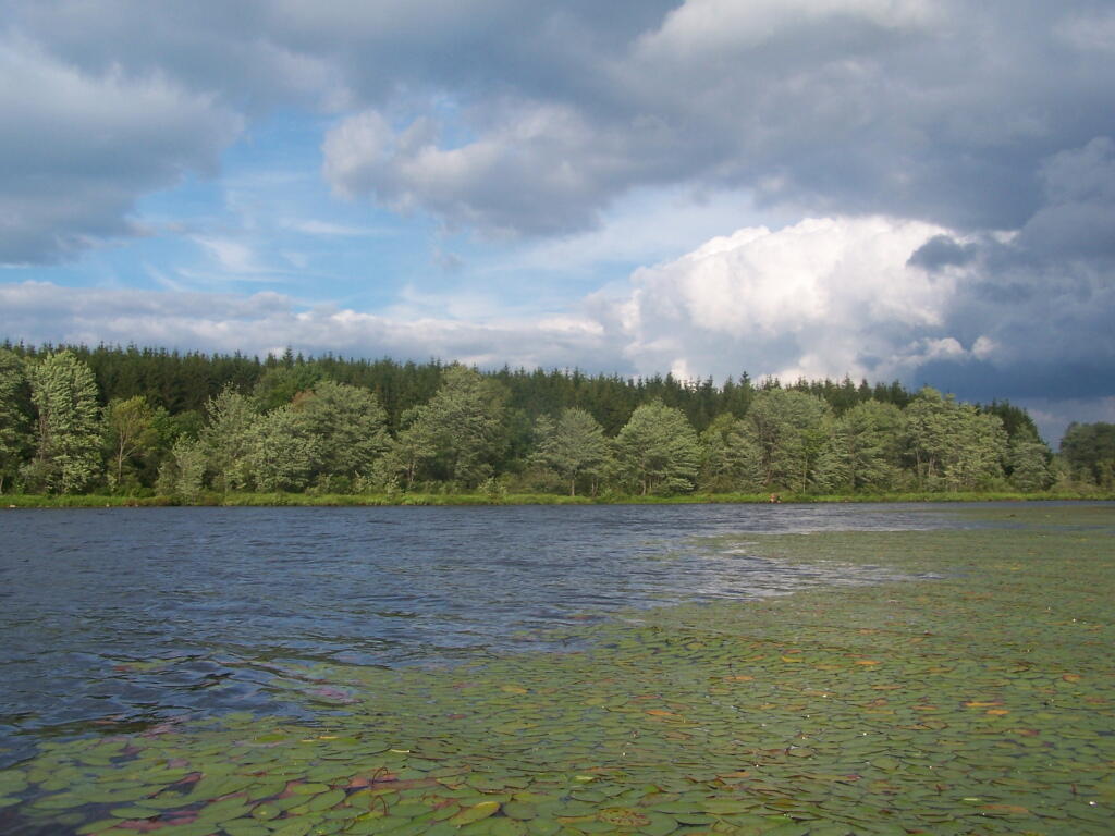
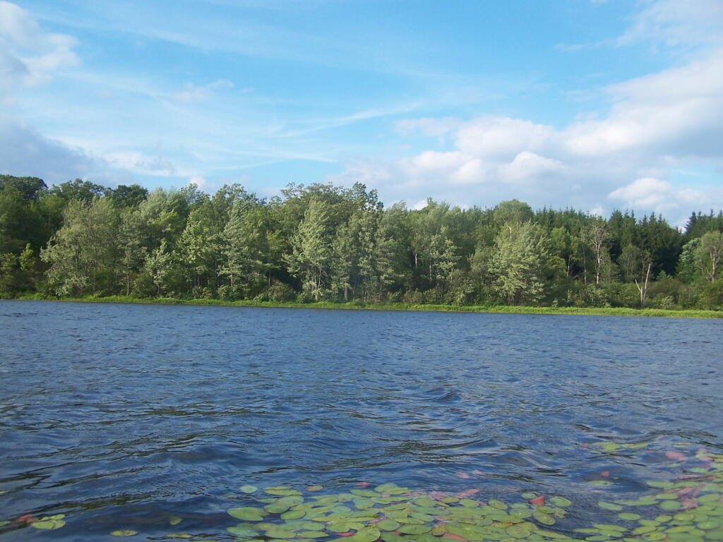
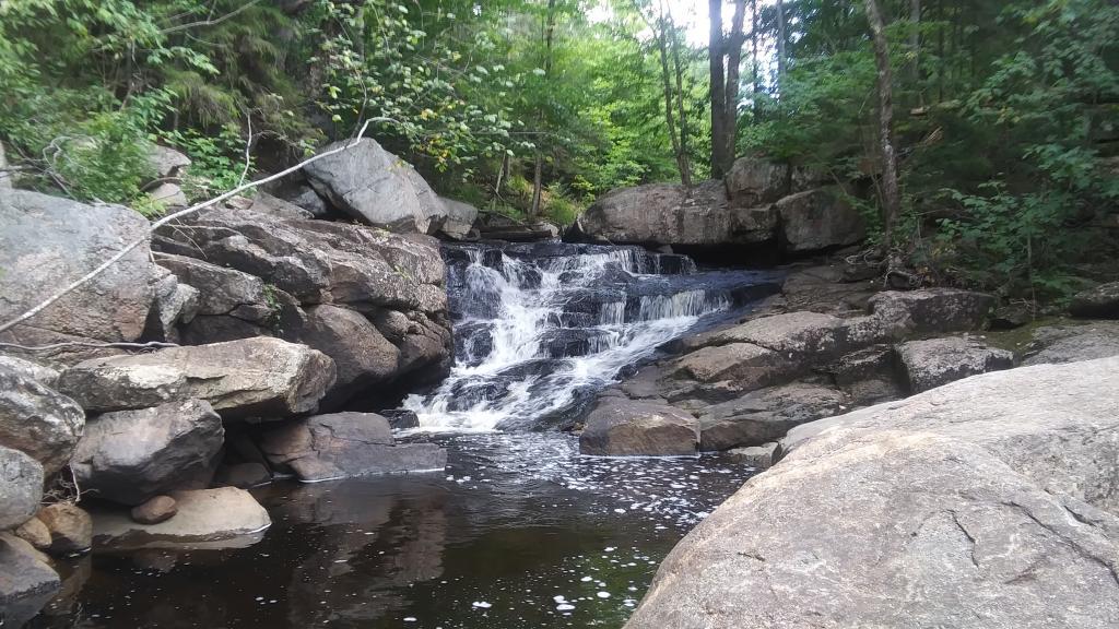
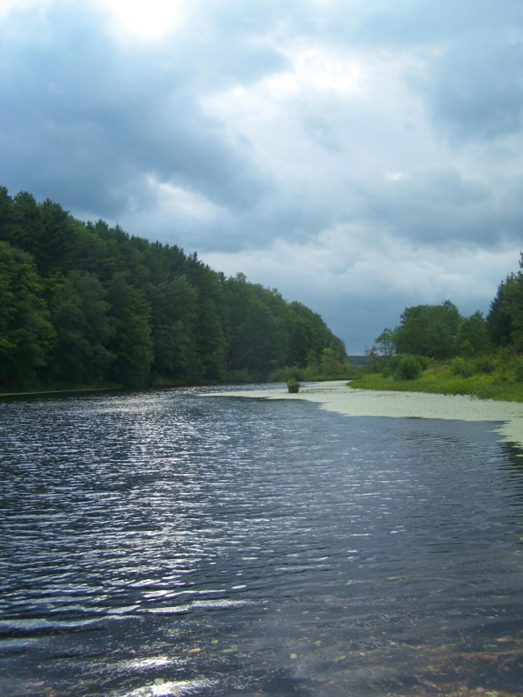
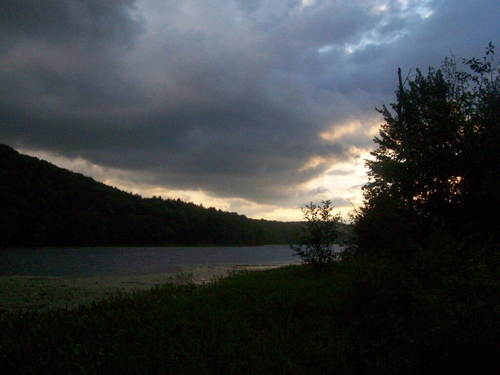
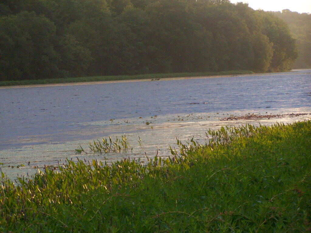
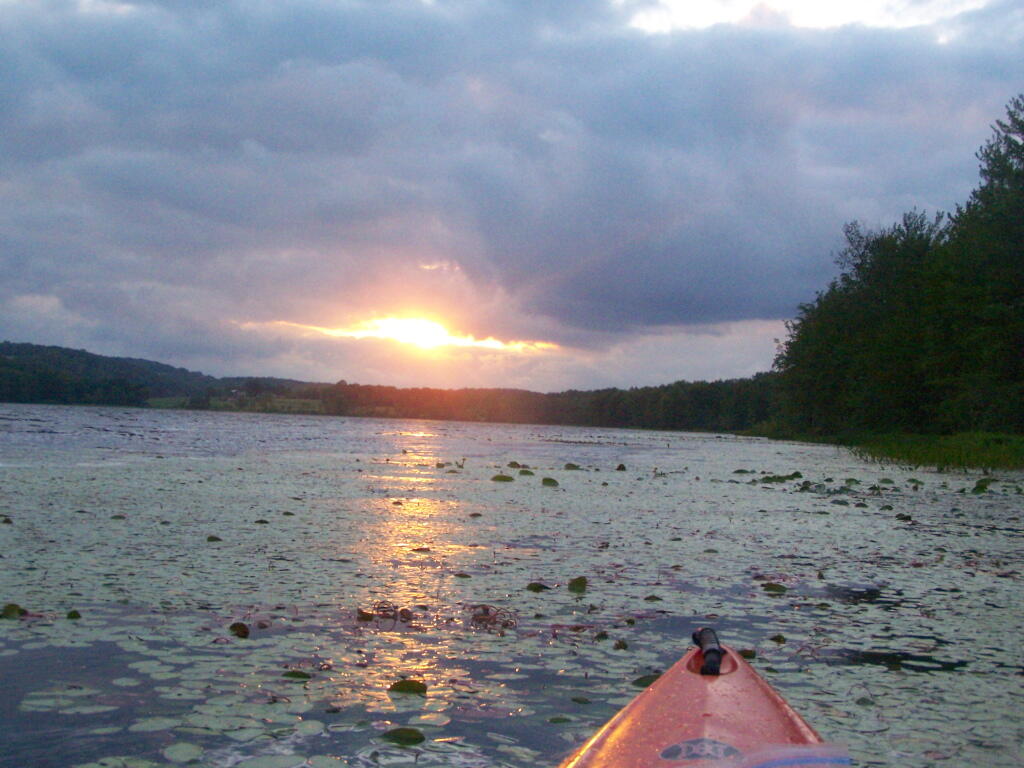
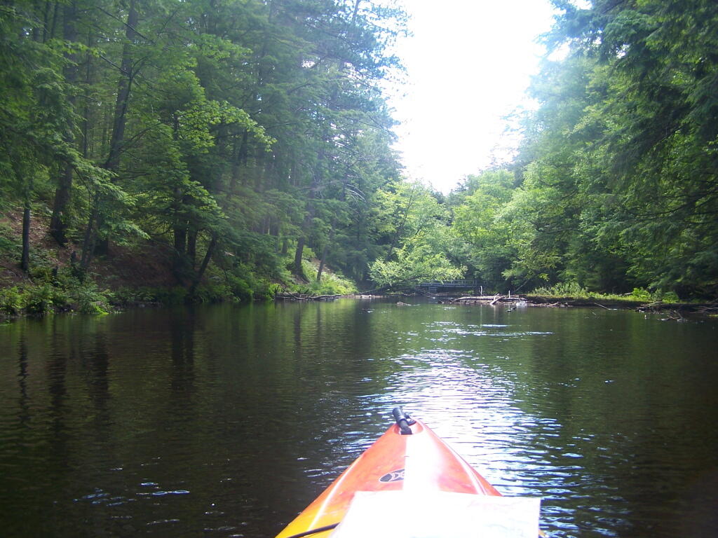
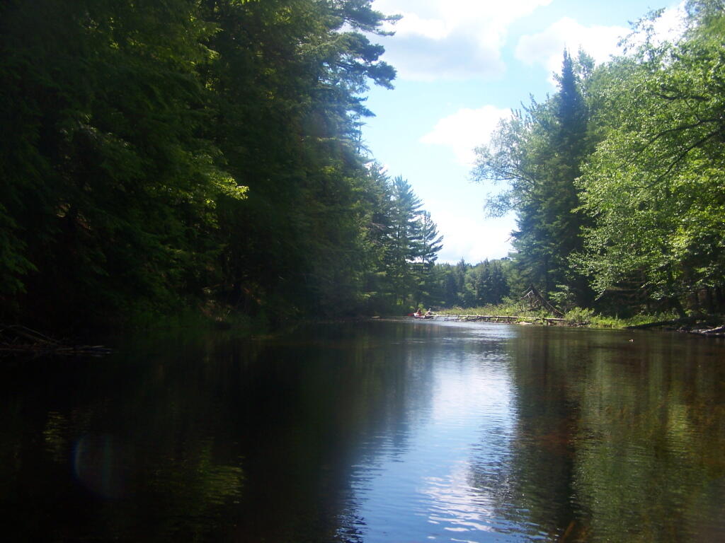
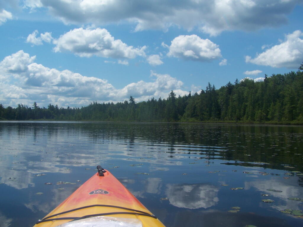
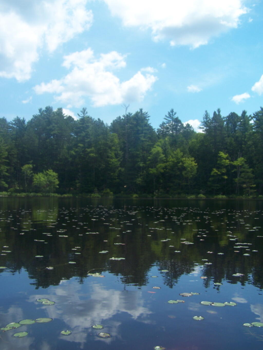
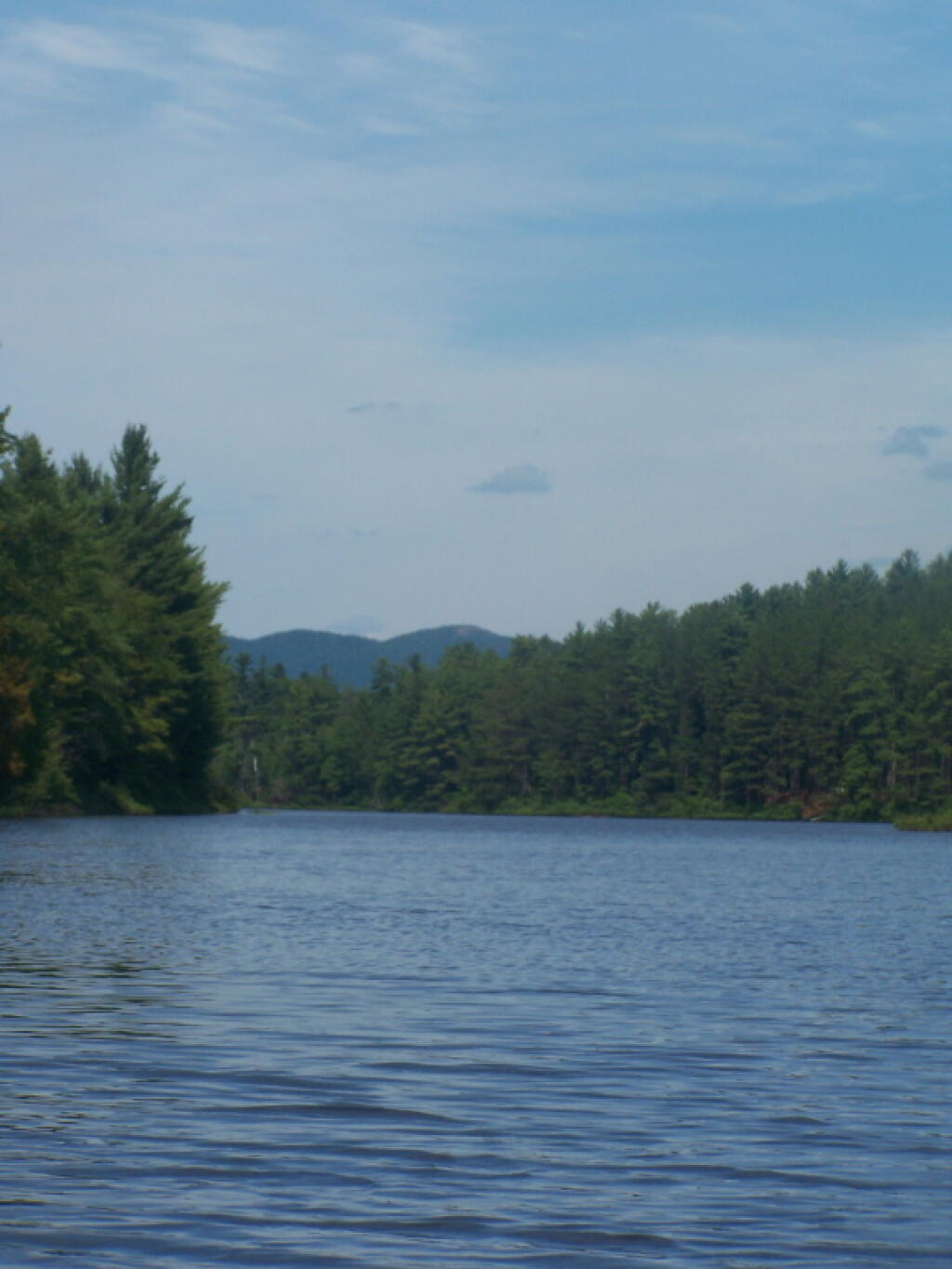
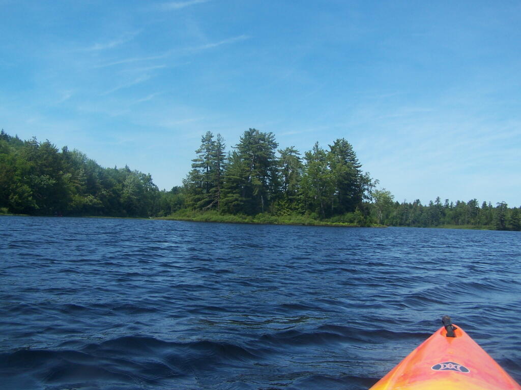
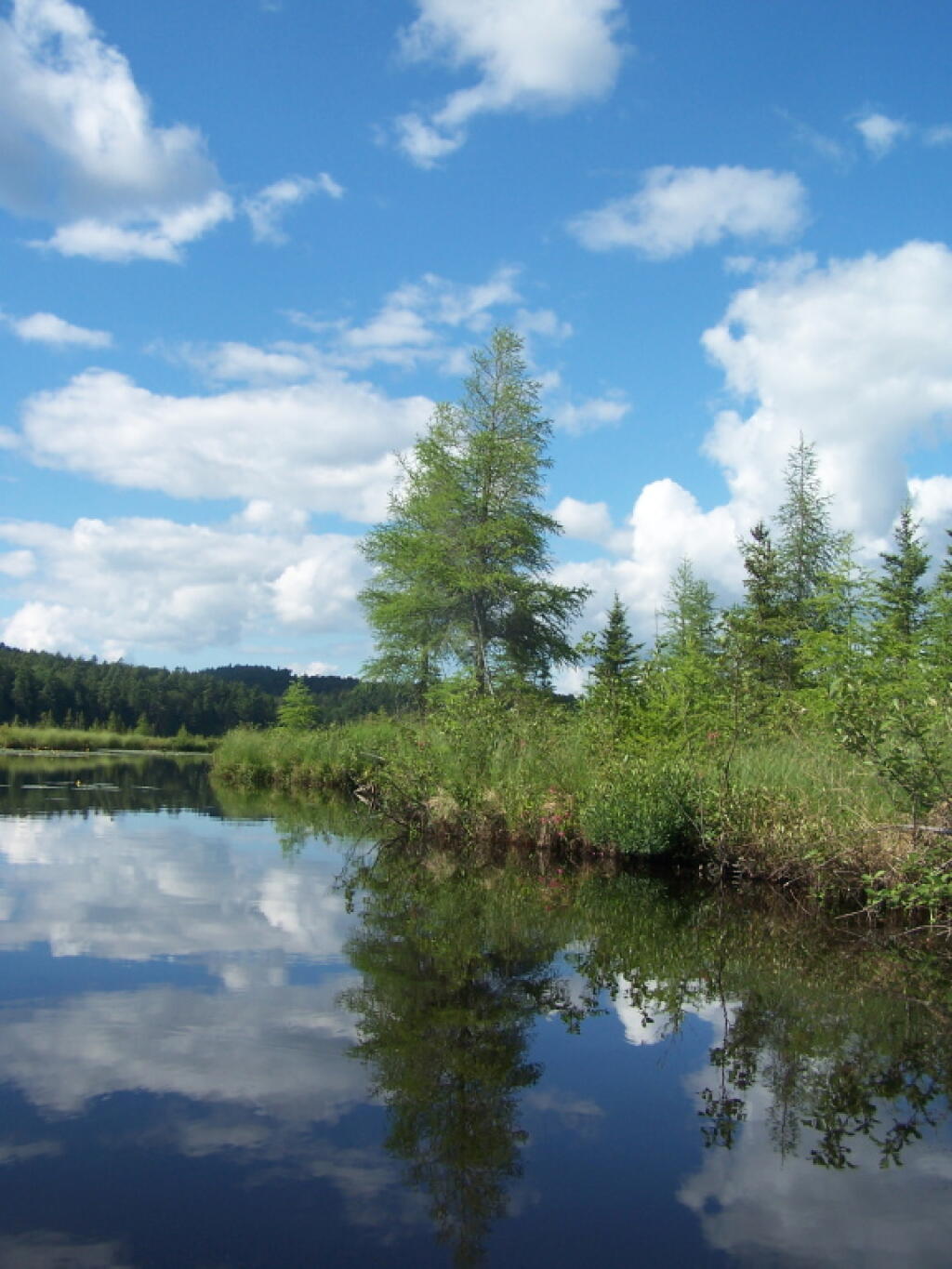
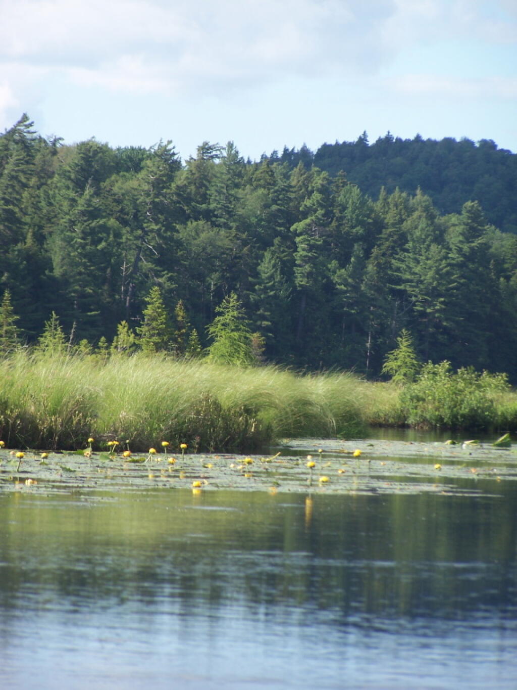
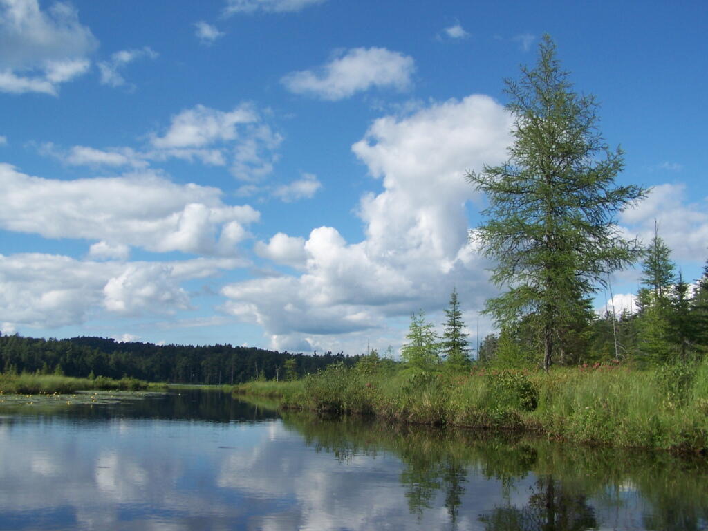
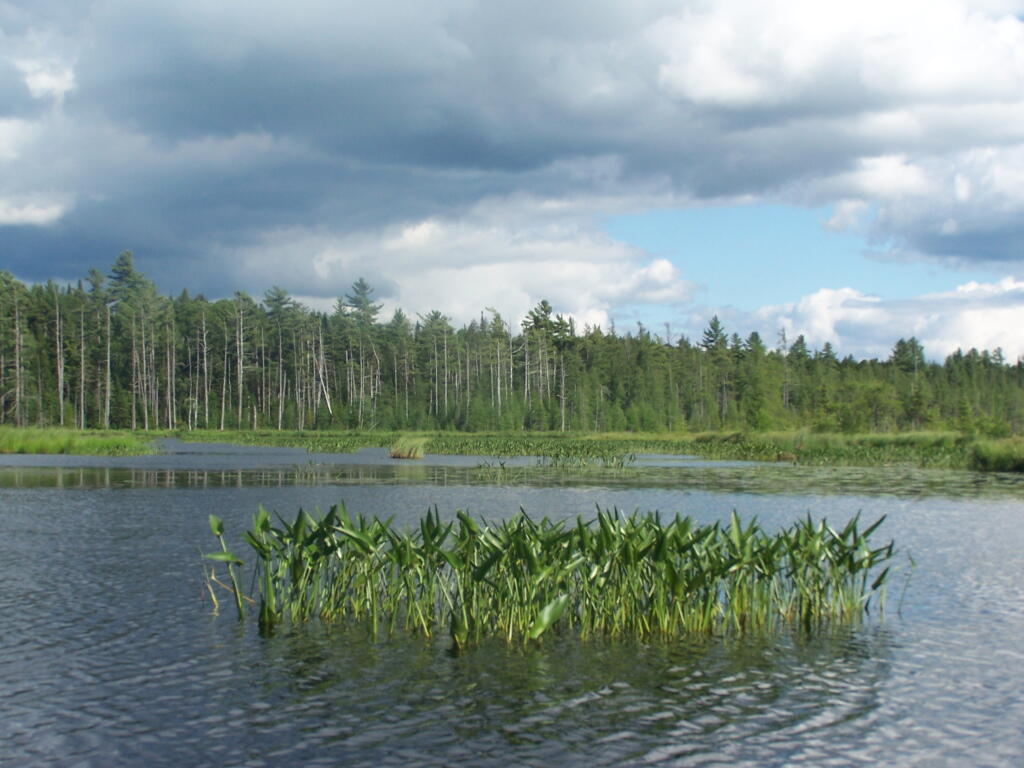
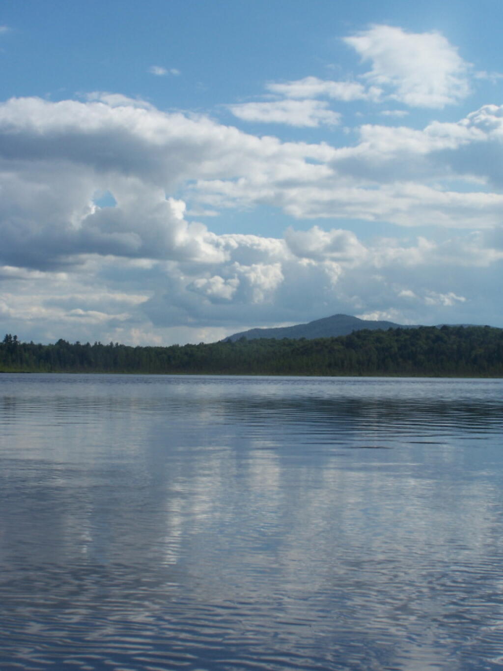
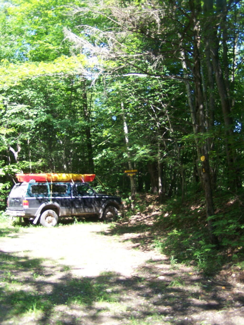
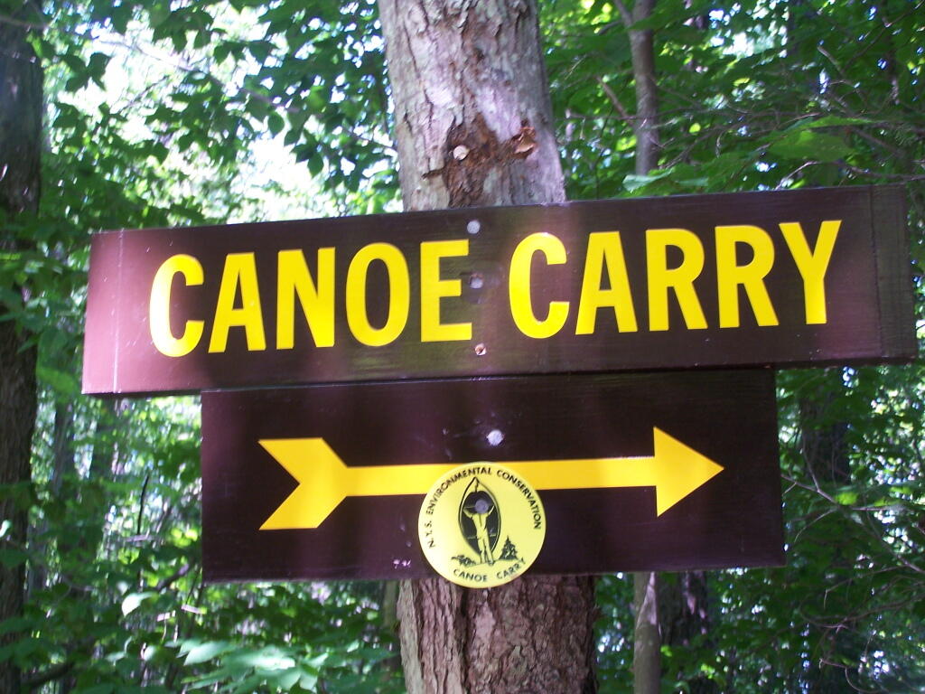
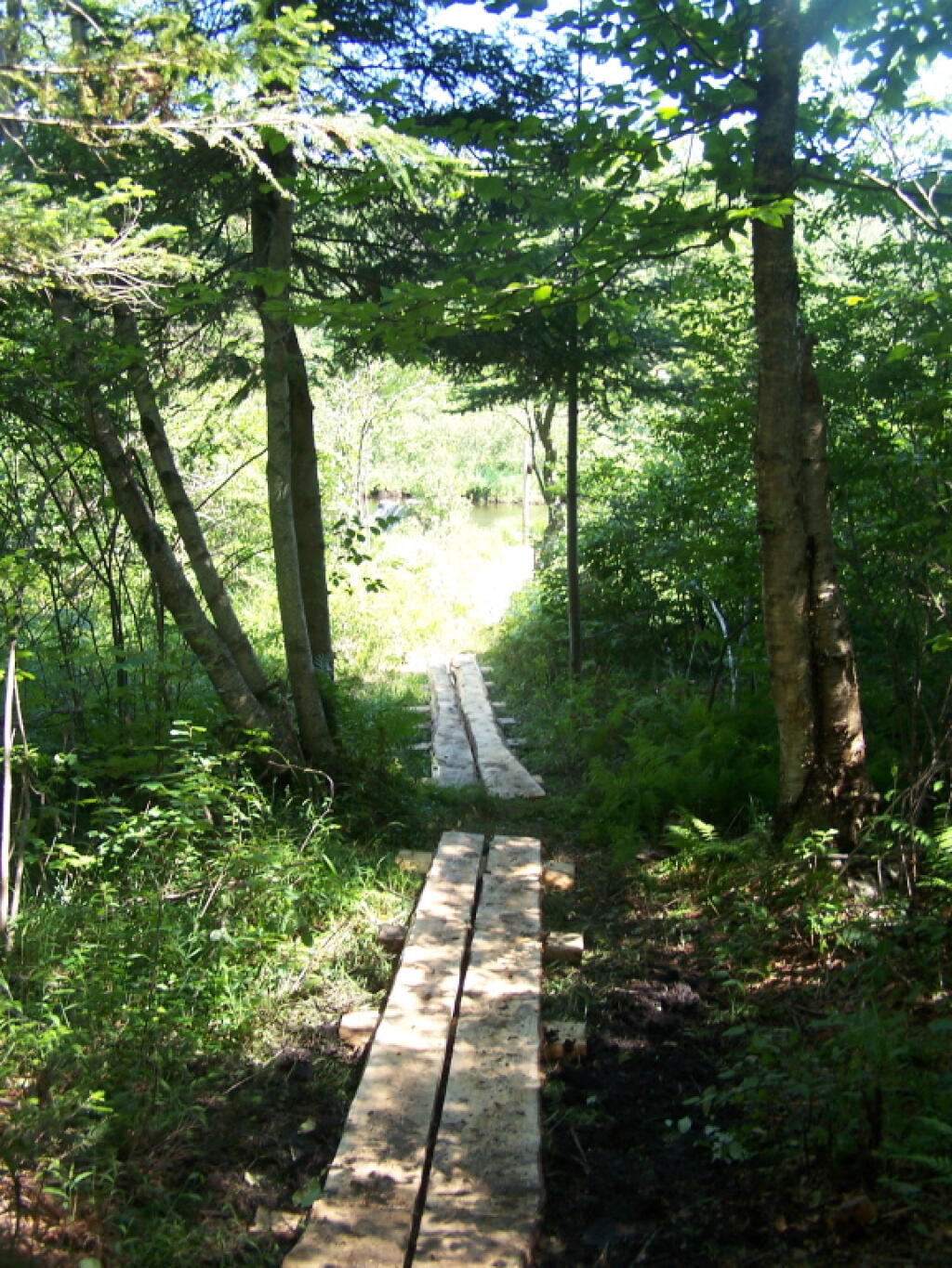
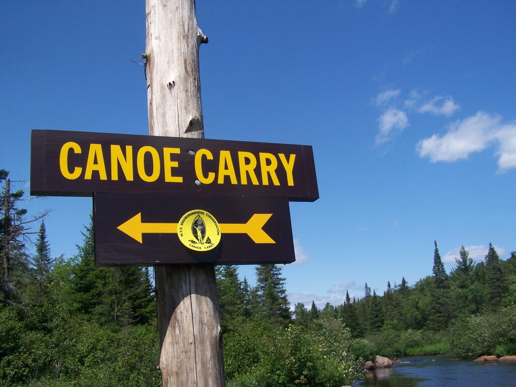
Cedar River Flow is a popular destination at Moose River Plains. In many ways it’s the gateway to Moose River Plains, as you reach Wakely Dam, which holds back the waters of Cedar River Flow as one of your first destinations heading West on Cedar River-Limekiln Lake Road from Indian Lake.
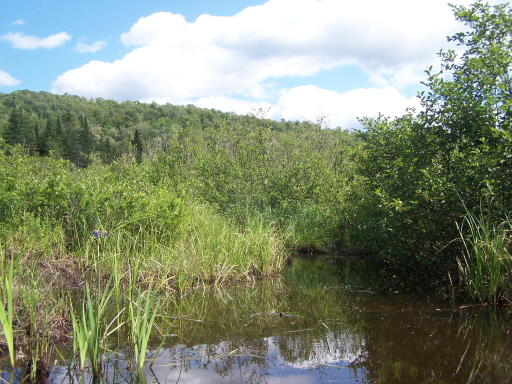
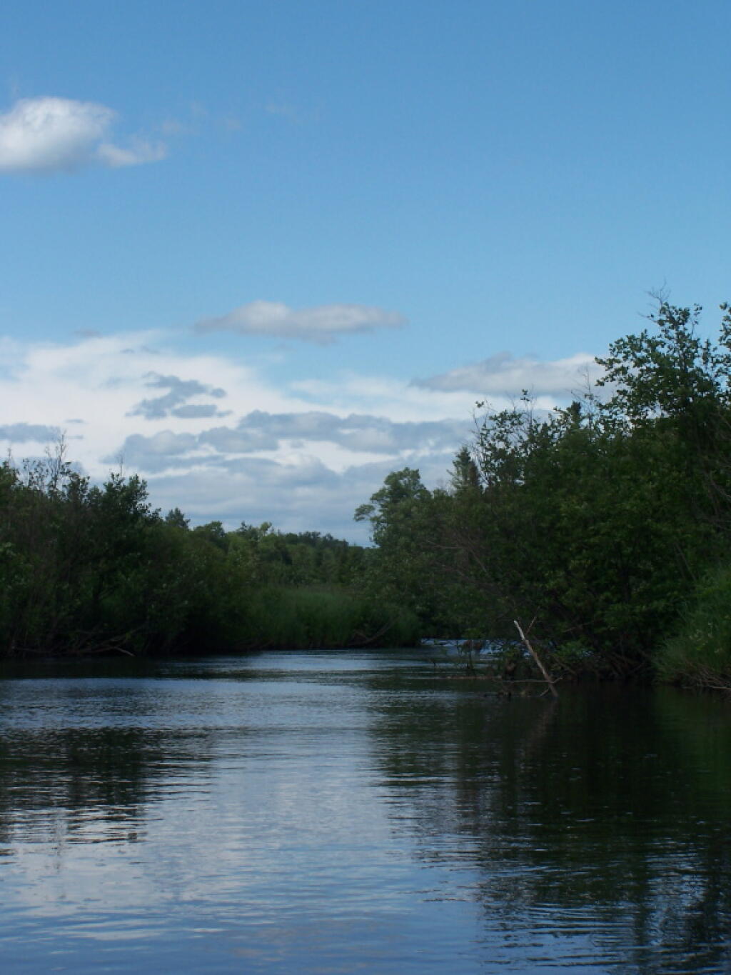
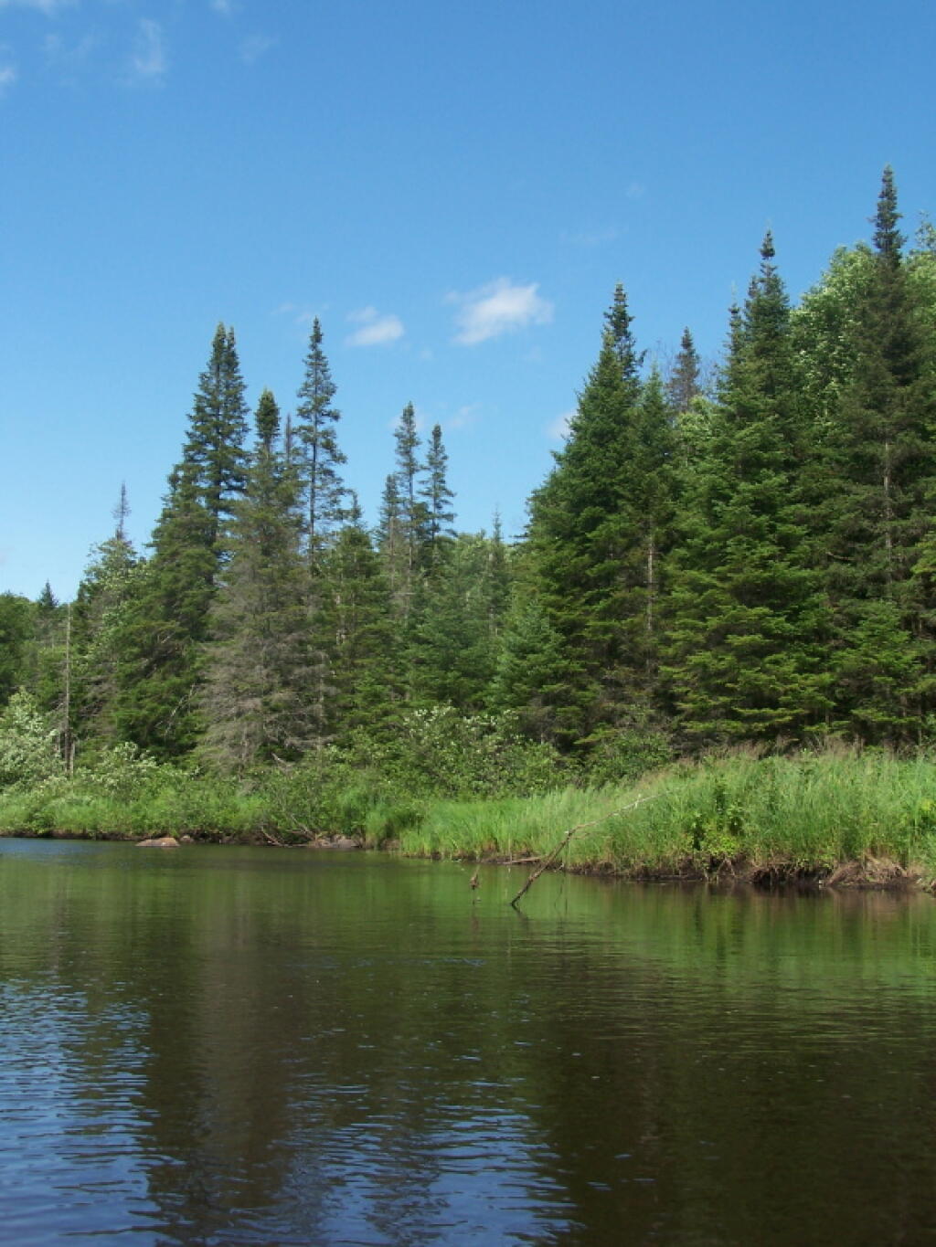
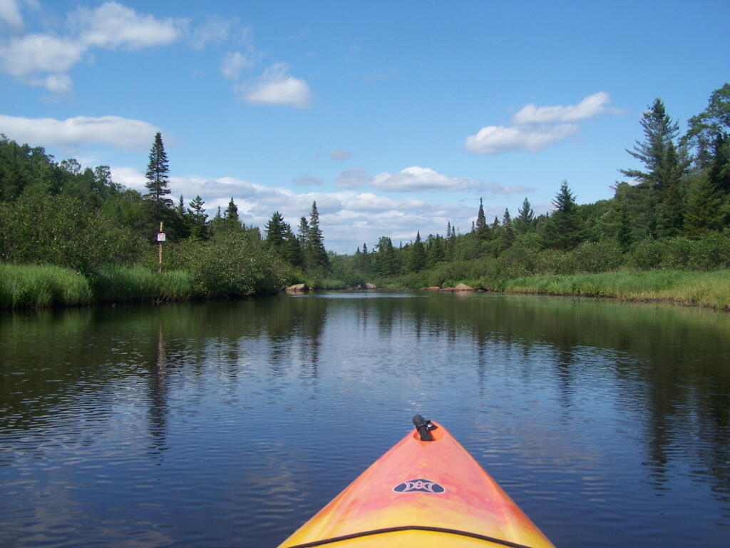
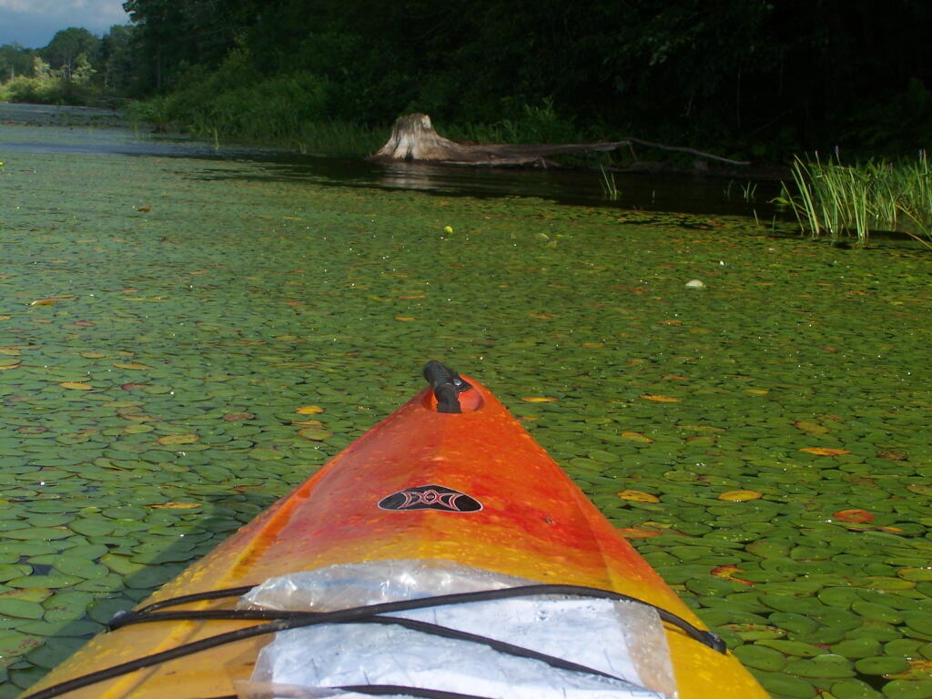
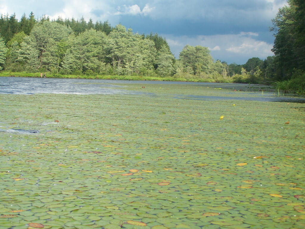
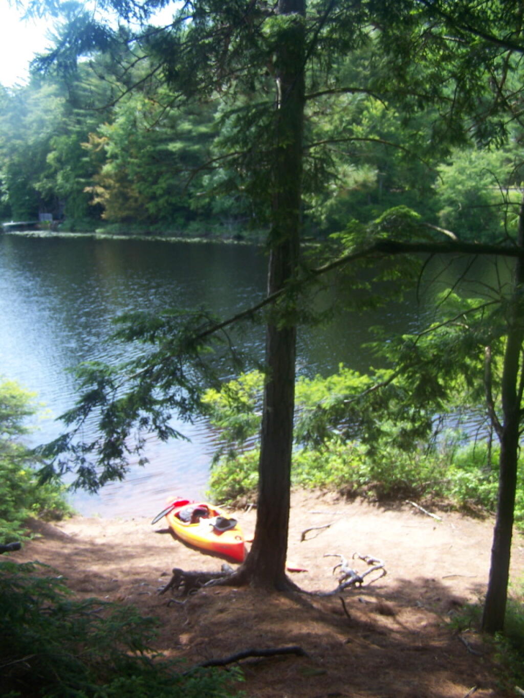
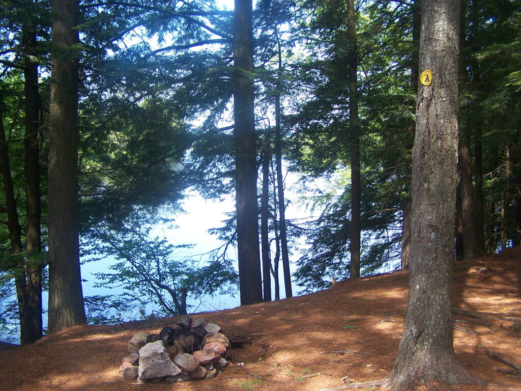
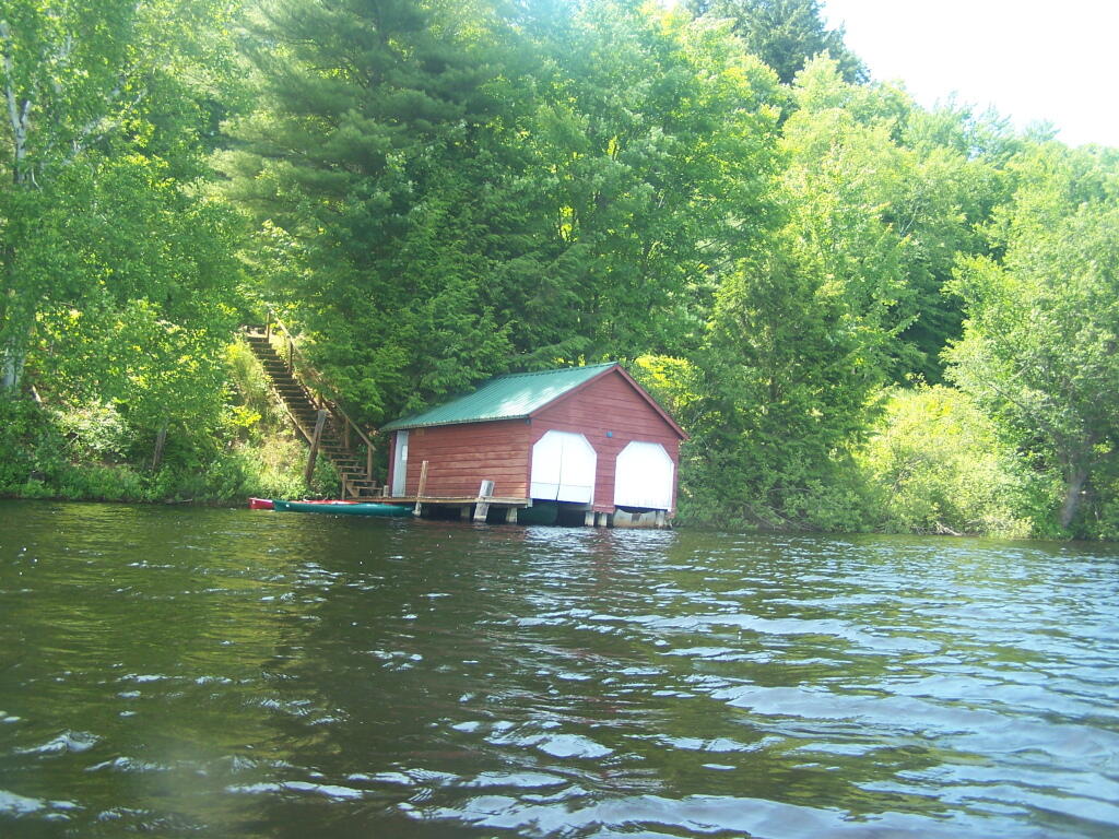
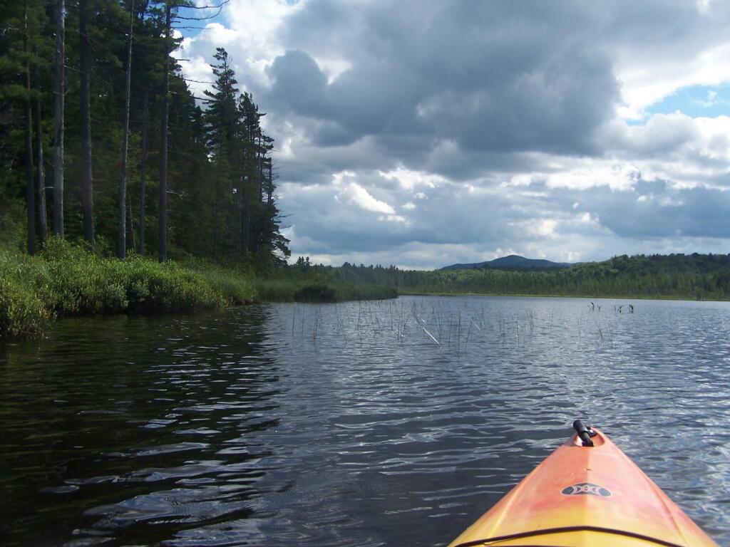
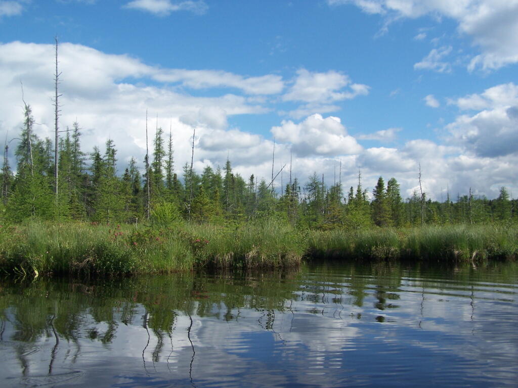
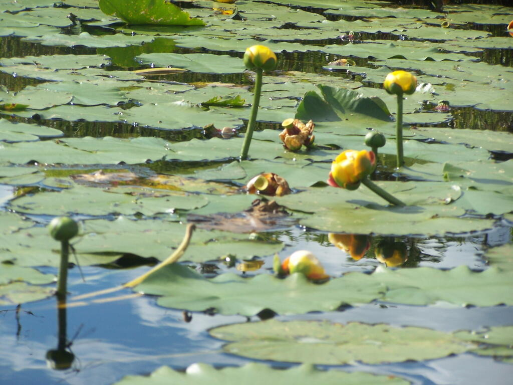
The Cedar River Flow is a popular lake for canoeing and kayaking. There are several designated and undesignated campsites along Cedar River Flow, with the designated ones shown on the map. There are also a handful of campsites, closely grouped together at Wakely Dam. The Cedar River is navigable for several miles upstream, and some people will paddle to the Lean-To on Sucker Brook Trail.
Wakely Pond and Wakely Dam Areas.
Along the Northville-Placid Trail near Wakely Pond there are several designated tent campsites. A map of Wakely Pond-Wakely Dam Areas, and the rapids downstream of the Cedar River Flow.
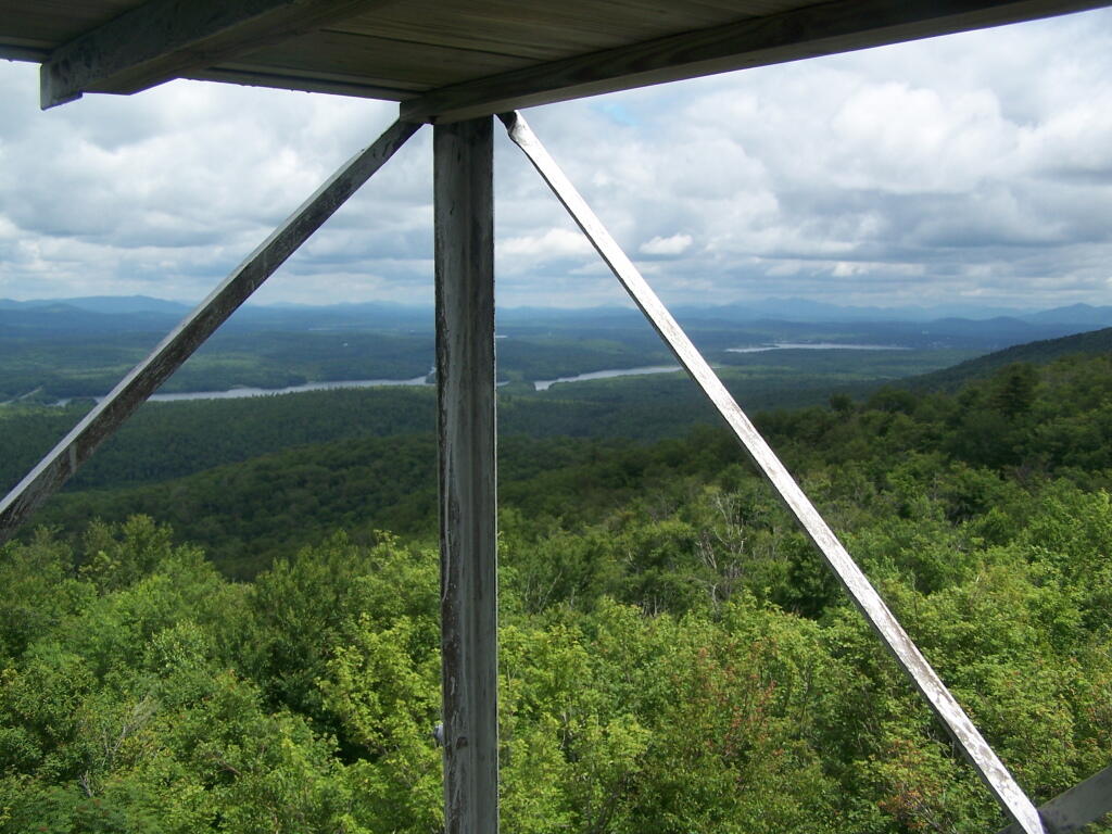
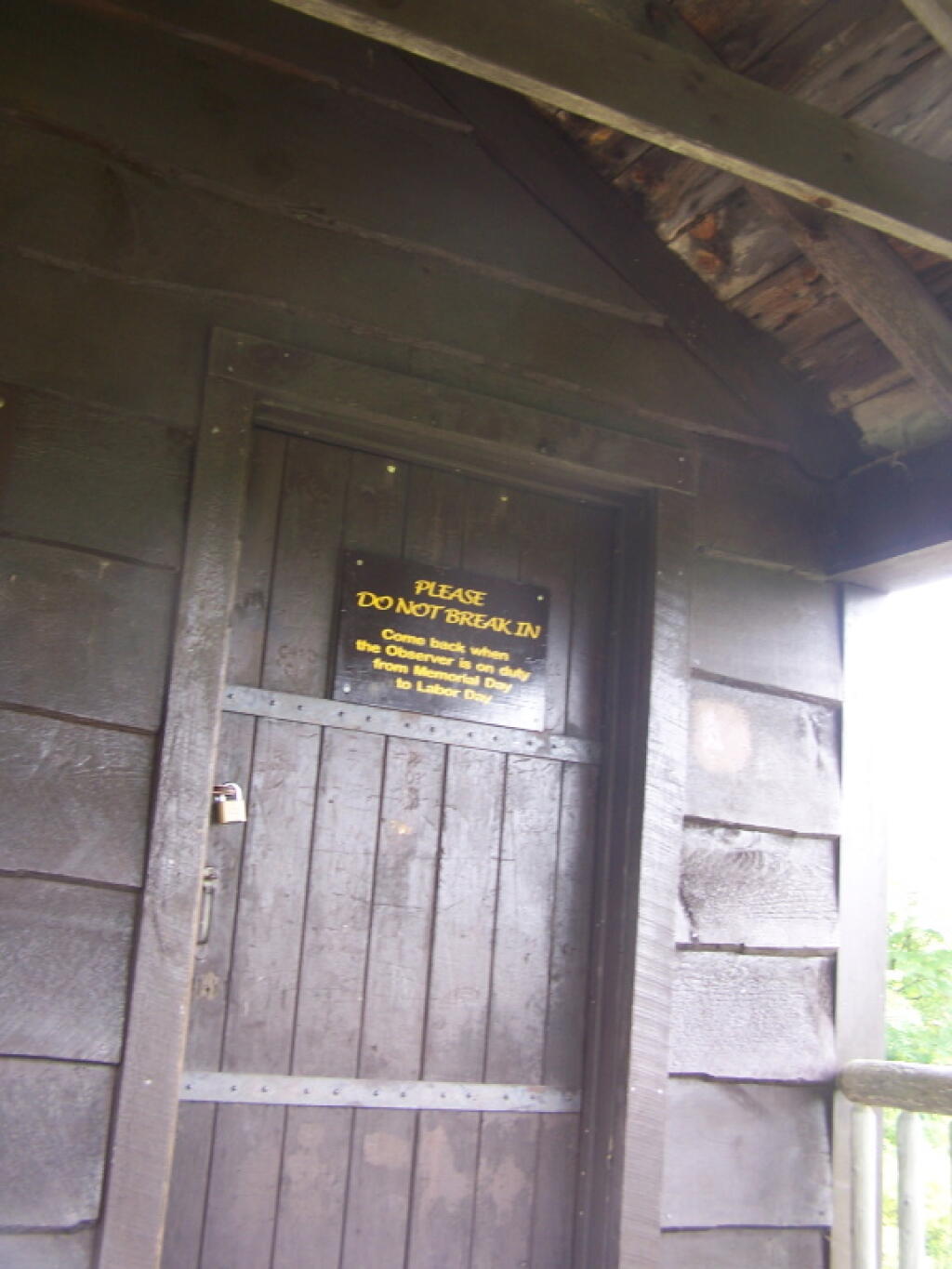
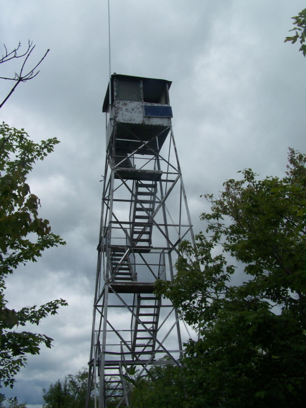
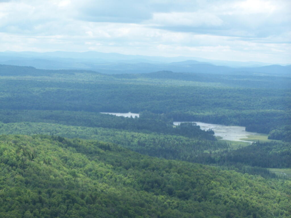
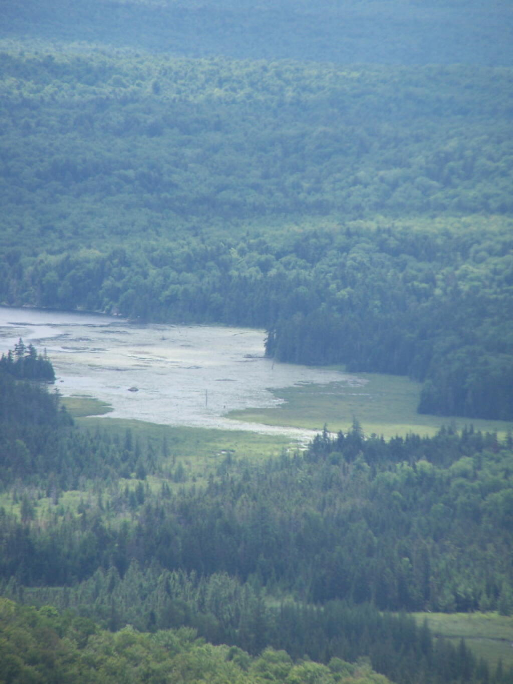
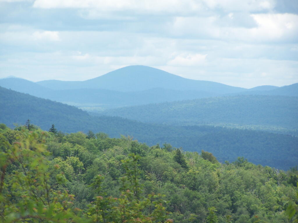
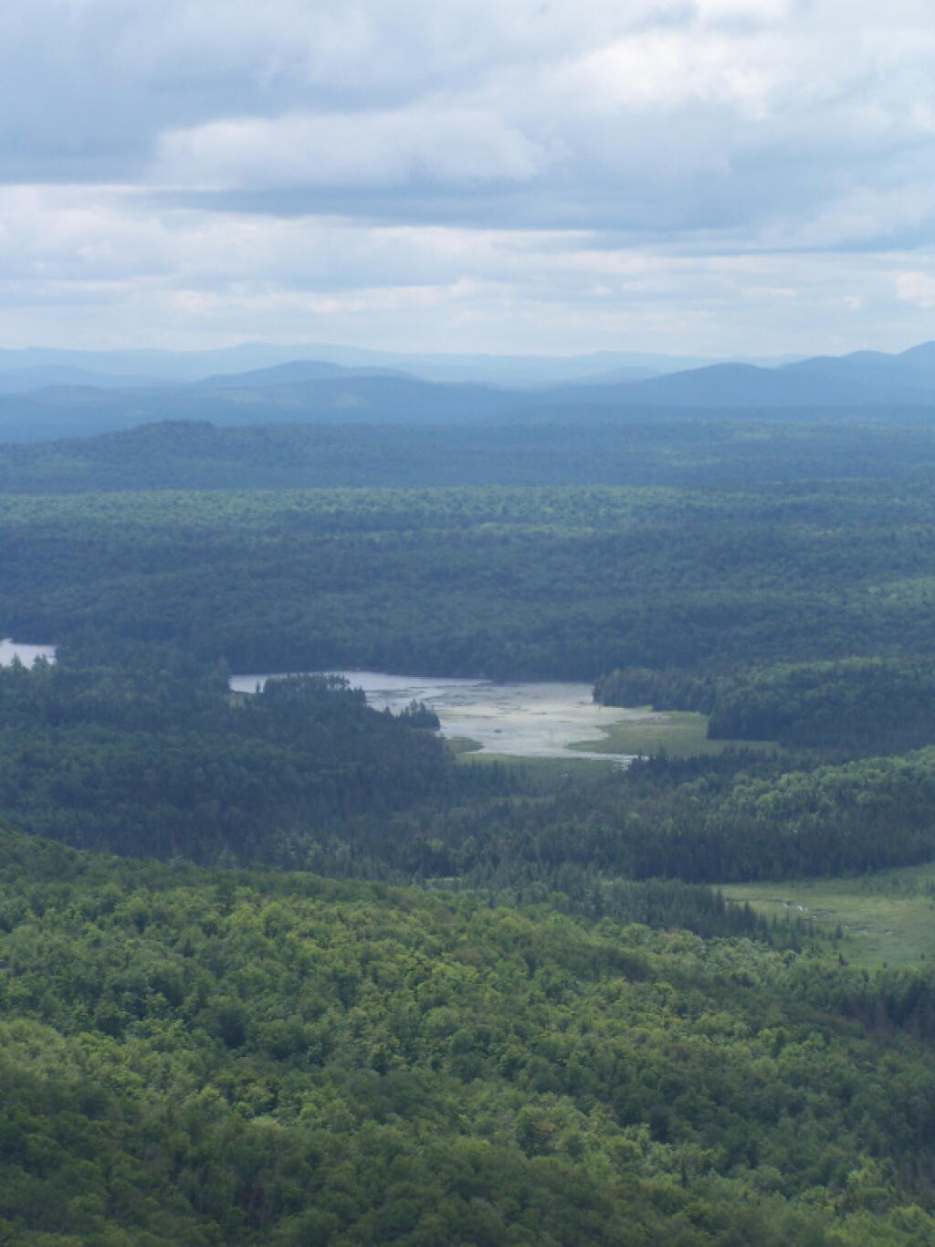
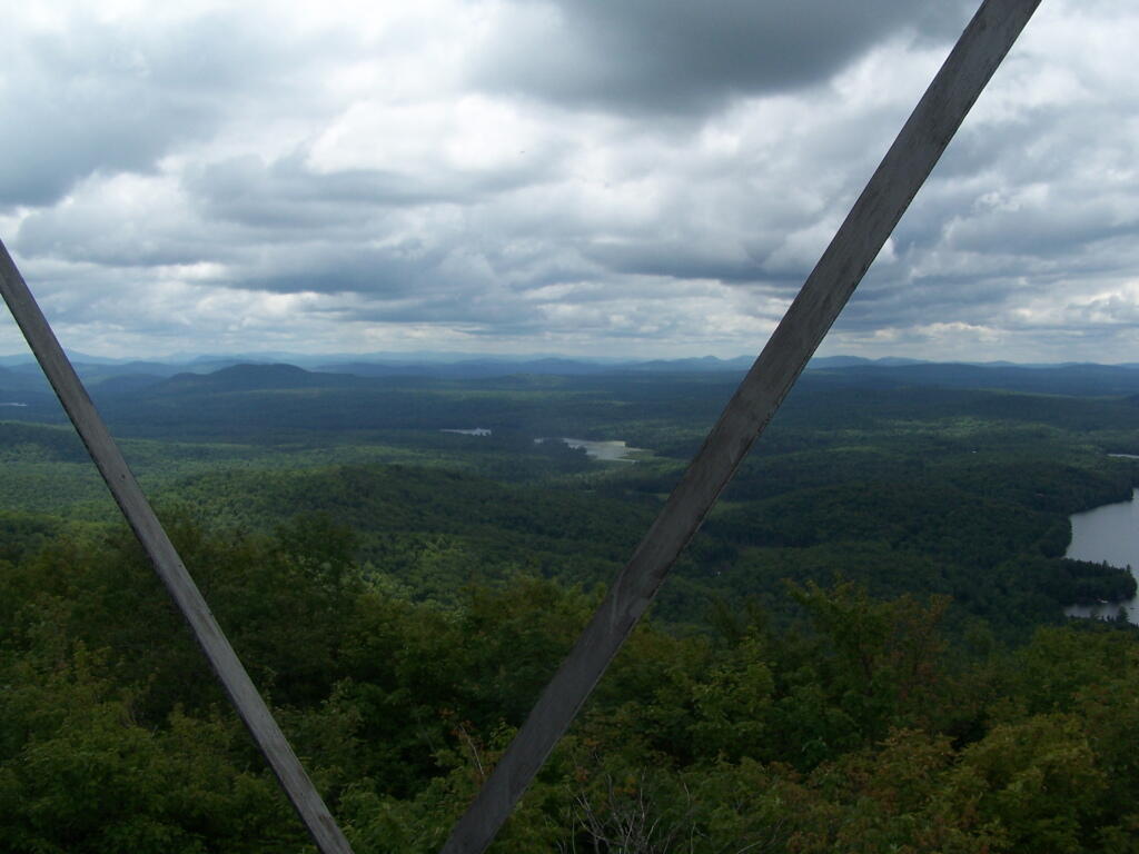
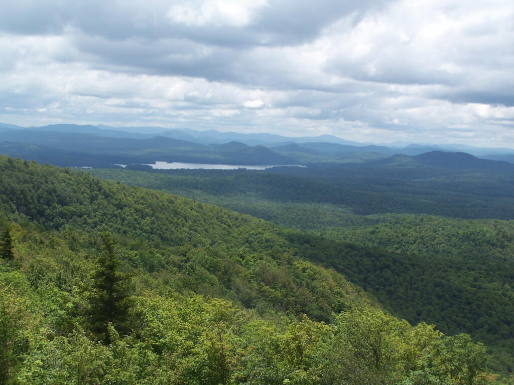
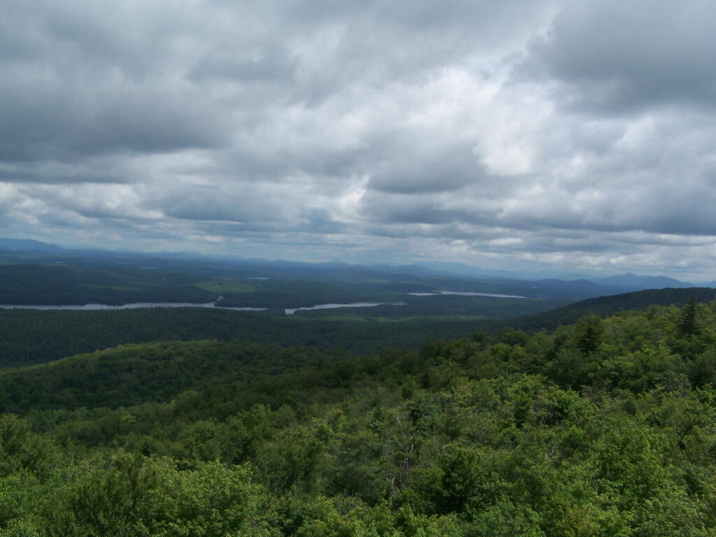
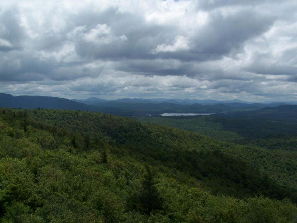
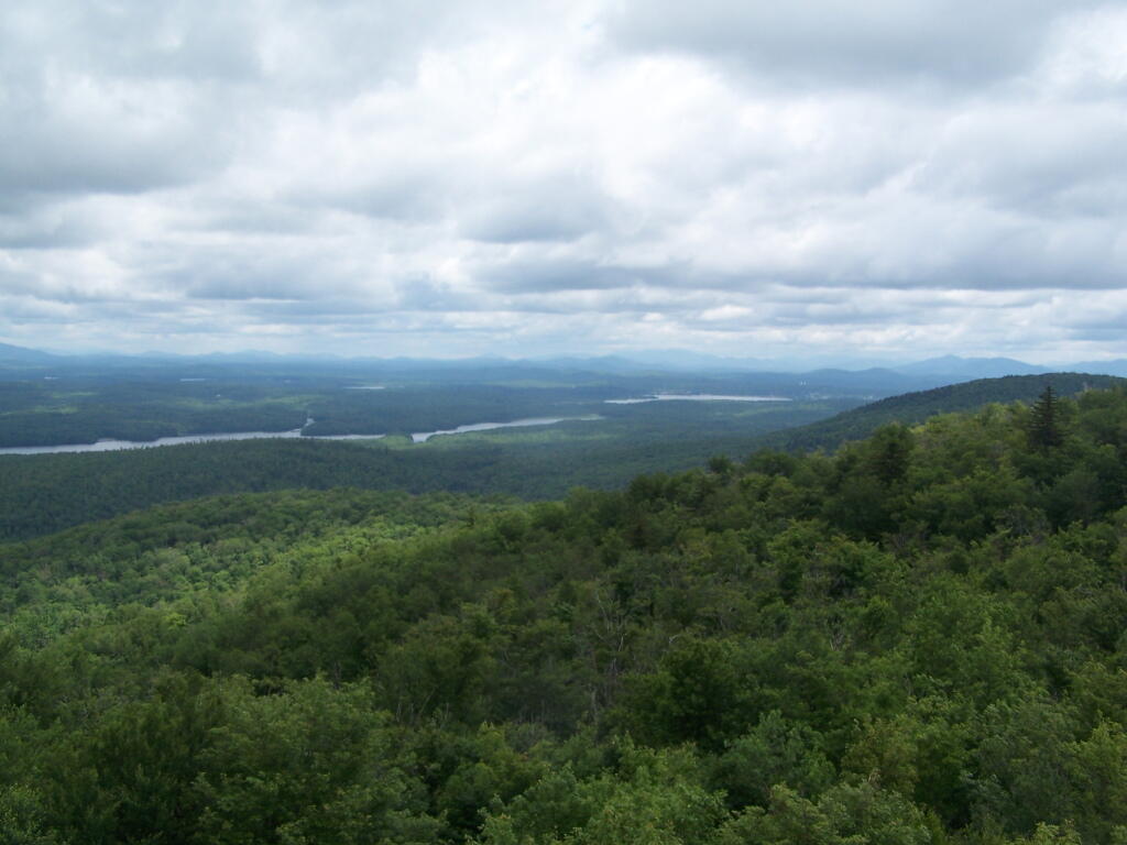
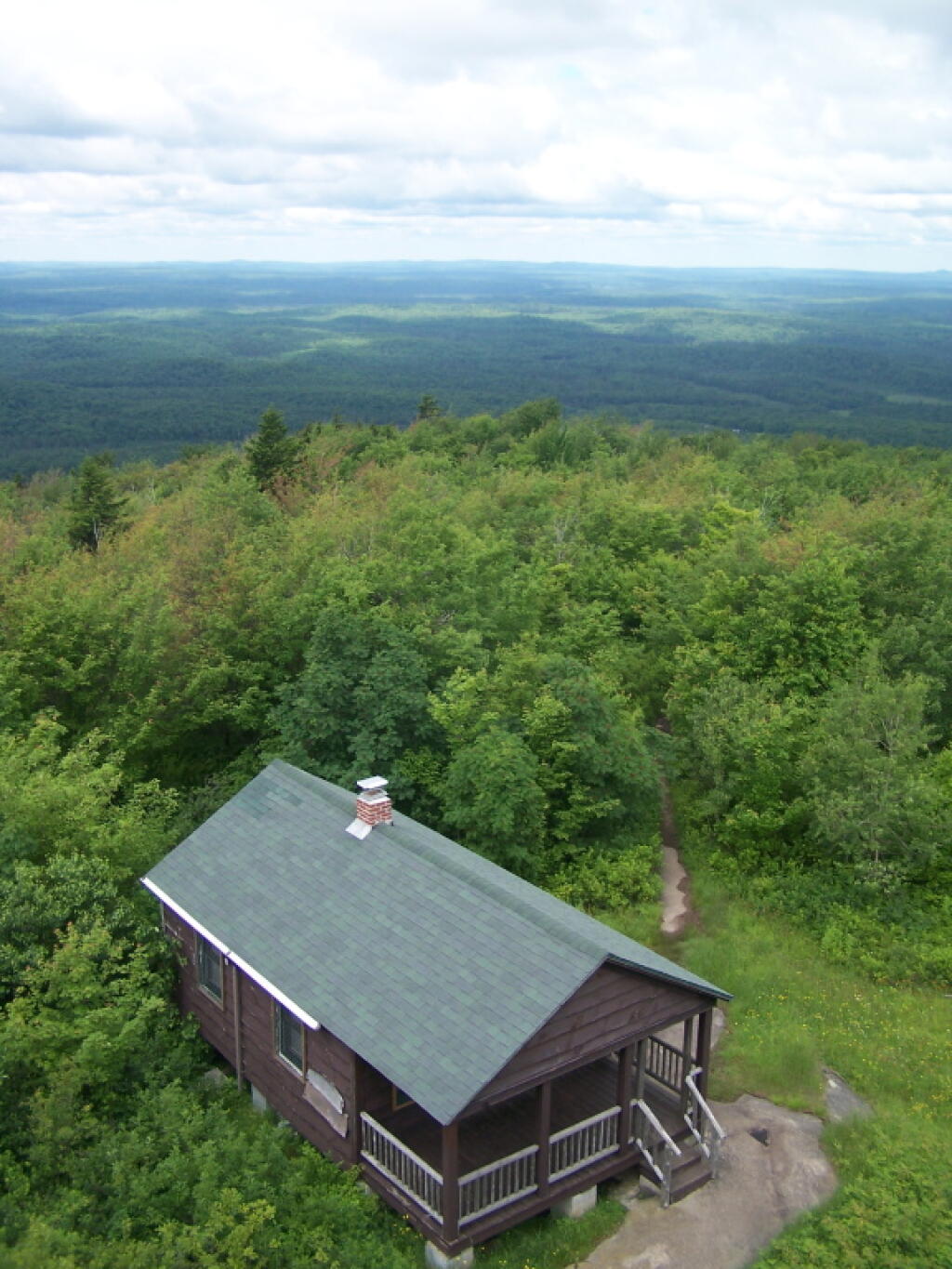
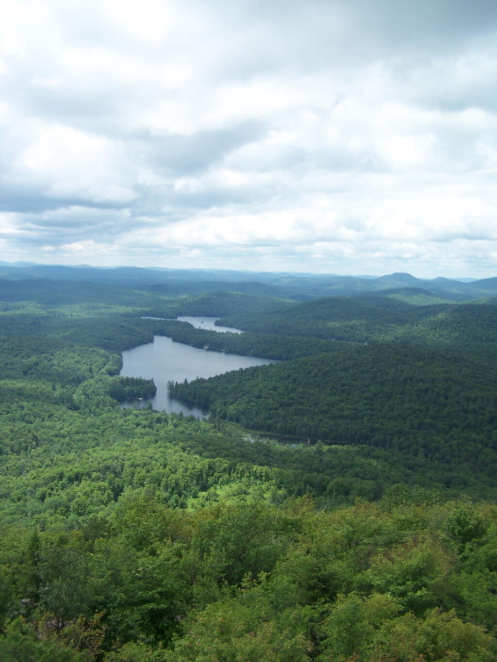
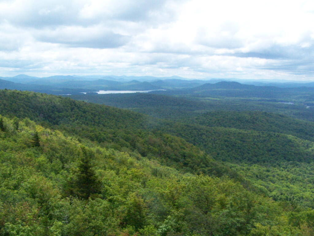
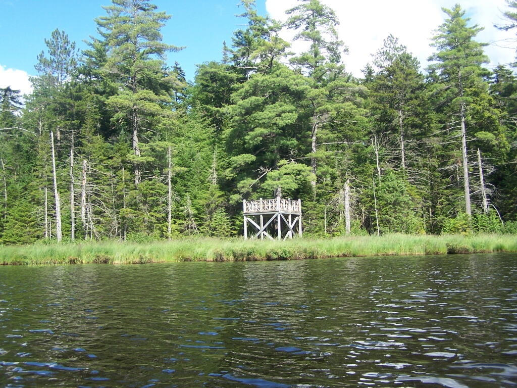
Wakely Mountain Firetower.
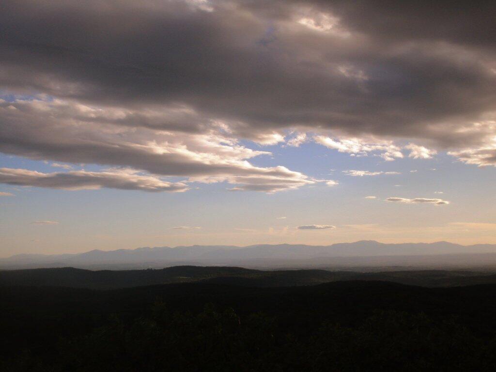
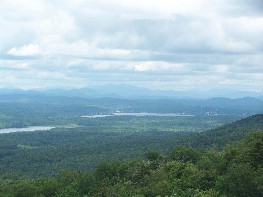
By far one of the most popular destinations in the area is the Wakely Mountain Fire Tower. It offers truly spectular views of Moose River Plains, Blue Ridge Wilderness, West Canada Wilderness, Fulton Chain of Lakes, and even the High Peaks.
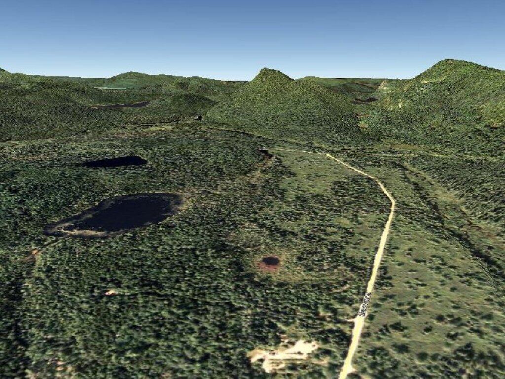
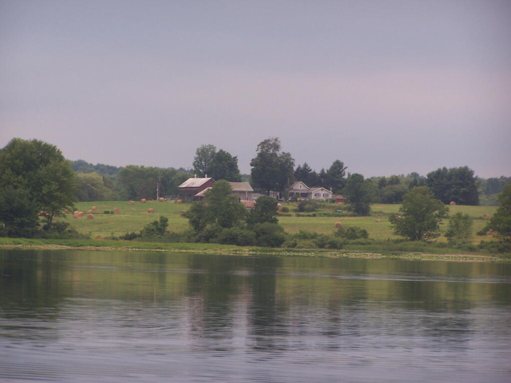
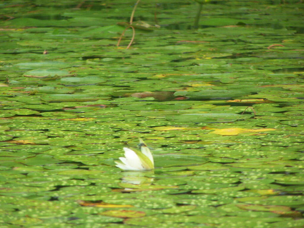
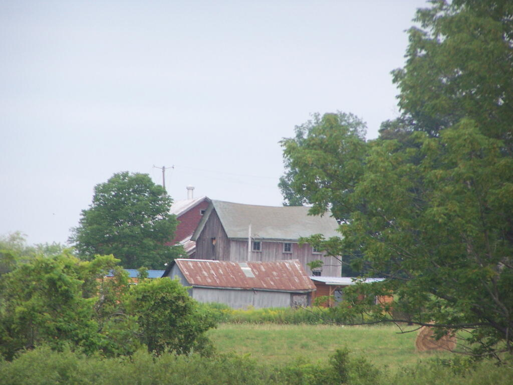
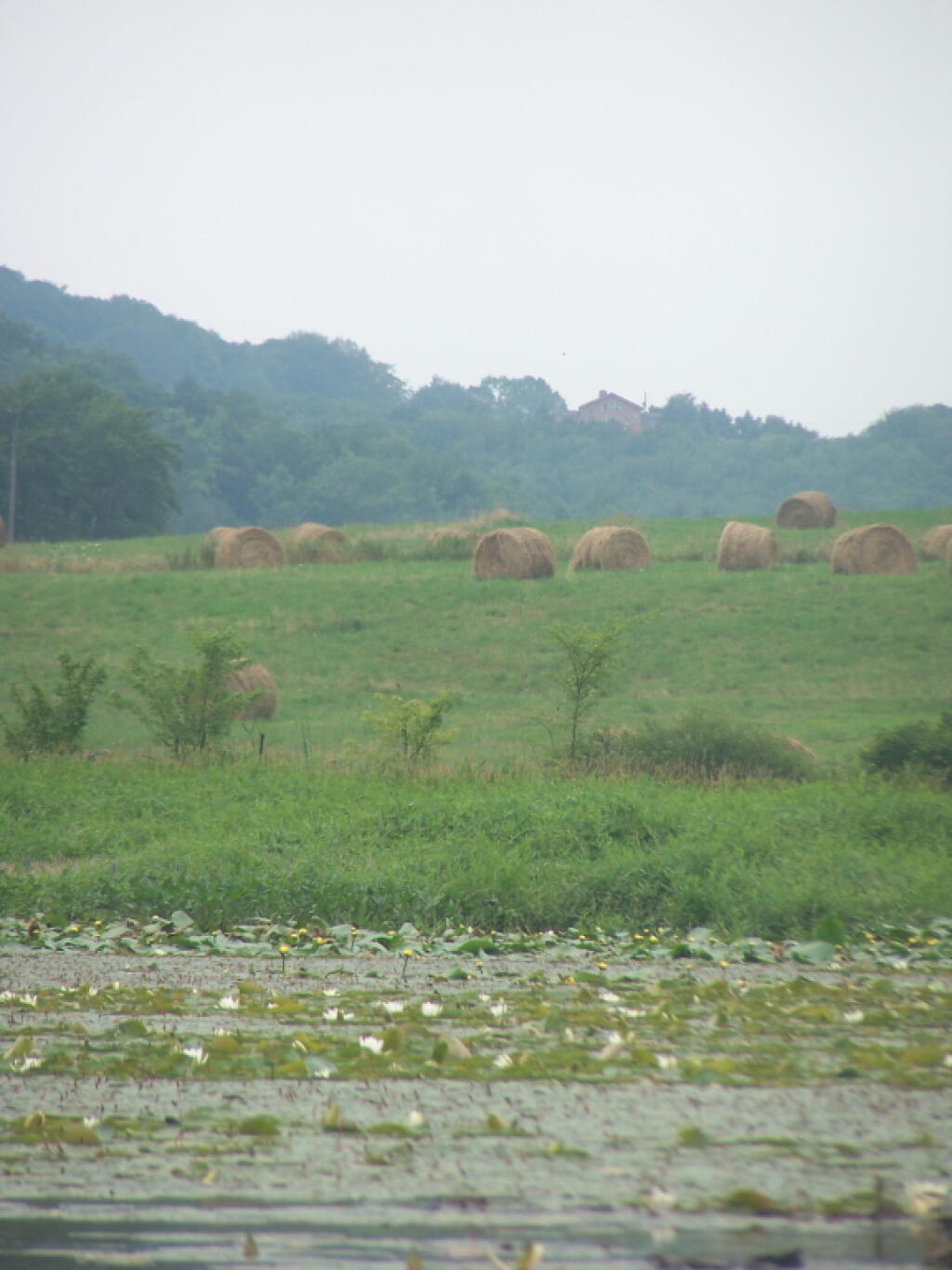
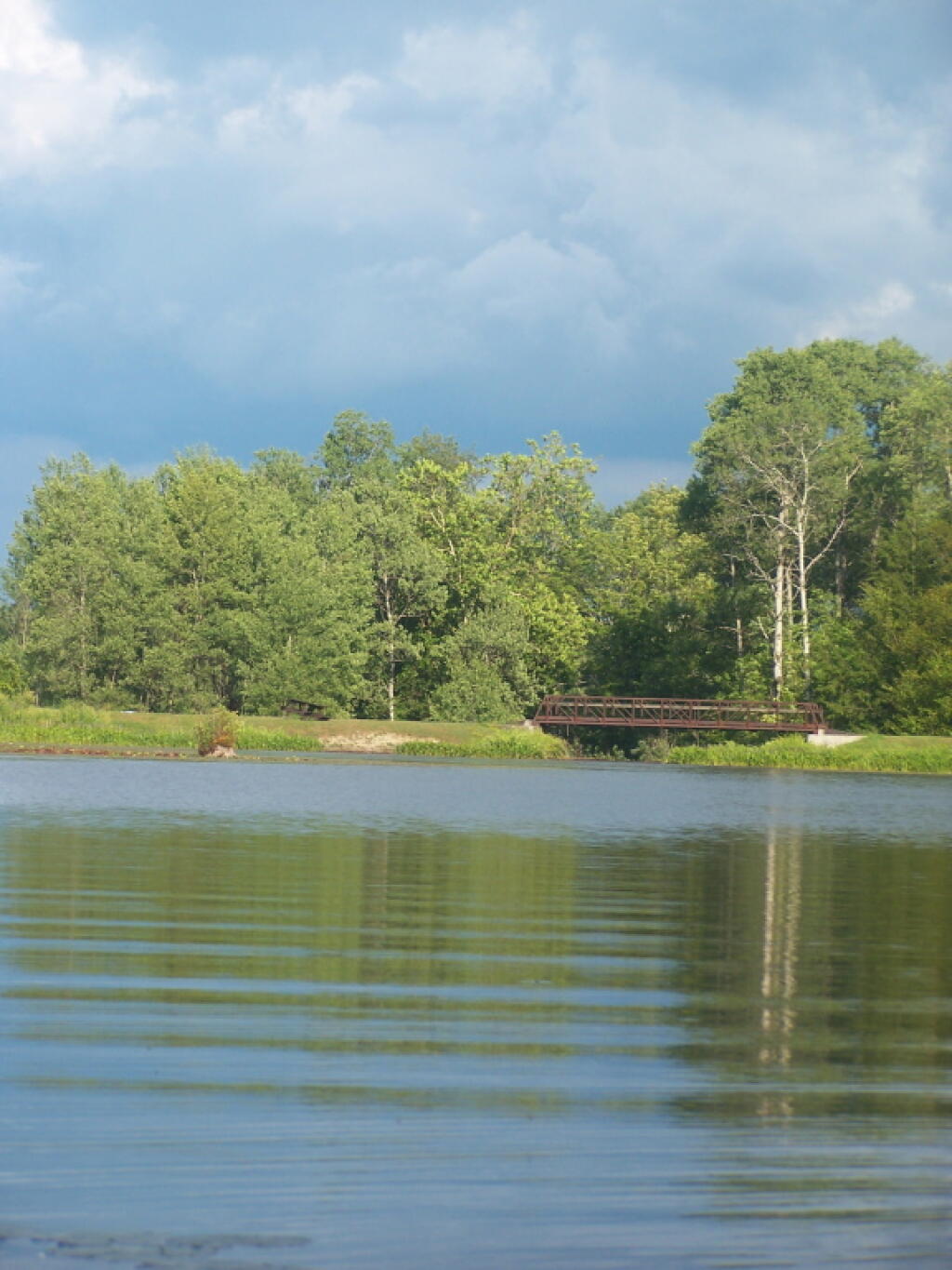
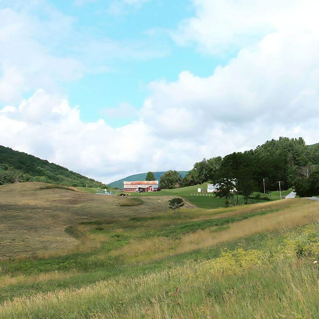
Long Pond offers 8 designated roadside campsites, and a handful of other informal campsites on the other side of the lake. A large man-made lake in an agricultural landscape of Chenango County, it offers some excellent fishing and nice views, especially for Chenango County.
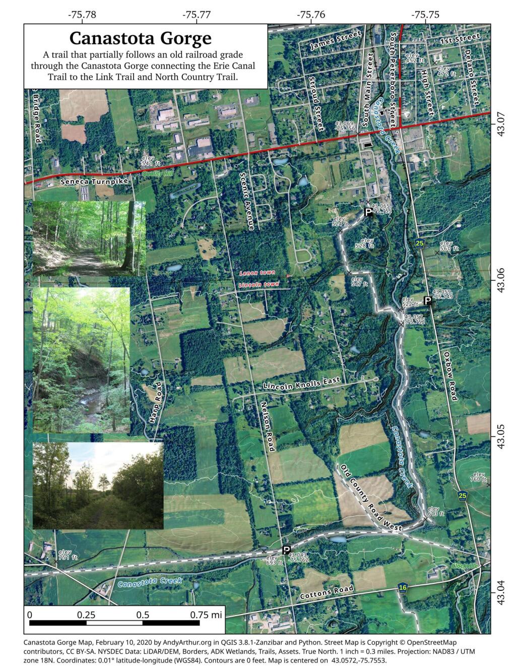
This map below shows where each picture was taken roughly in the area.
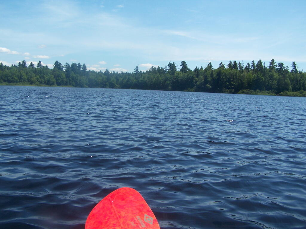
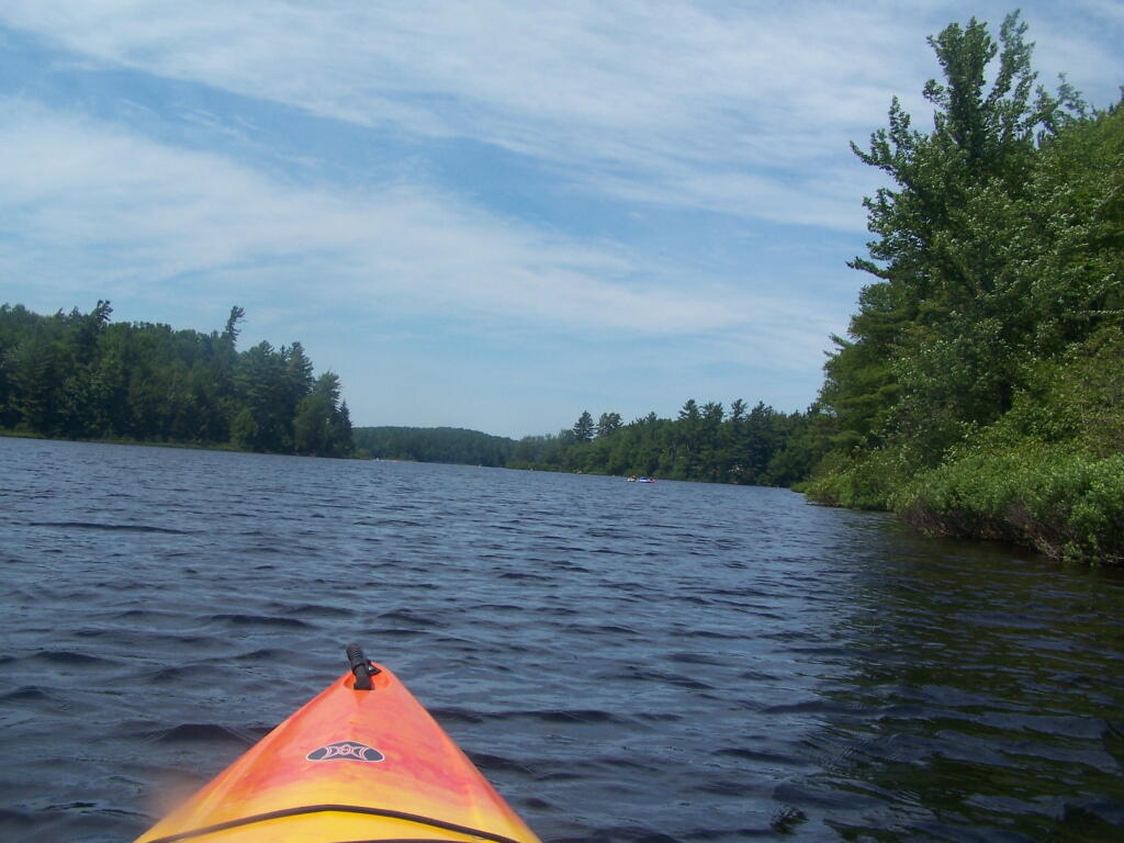
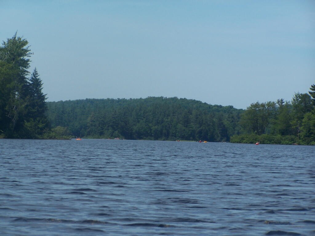
On a nice weekend, expect many people to be joining you on the ever popular Floodwood Loop in the Saranac Lake Wild Forest. While technically not part of the Saint Regis Canoe Area, this area is considered part of series of ponds that makes up this area, and this loop is the most popular of all the canoe routes in this area.
Alternatively, take a look at this Google Map of the loop. Balloons are designed campsites, there are no charge to use these sites. Red lines are portages and other trails.
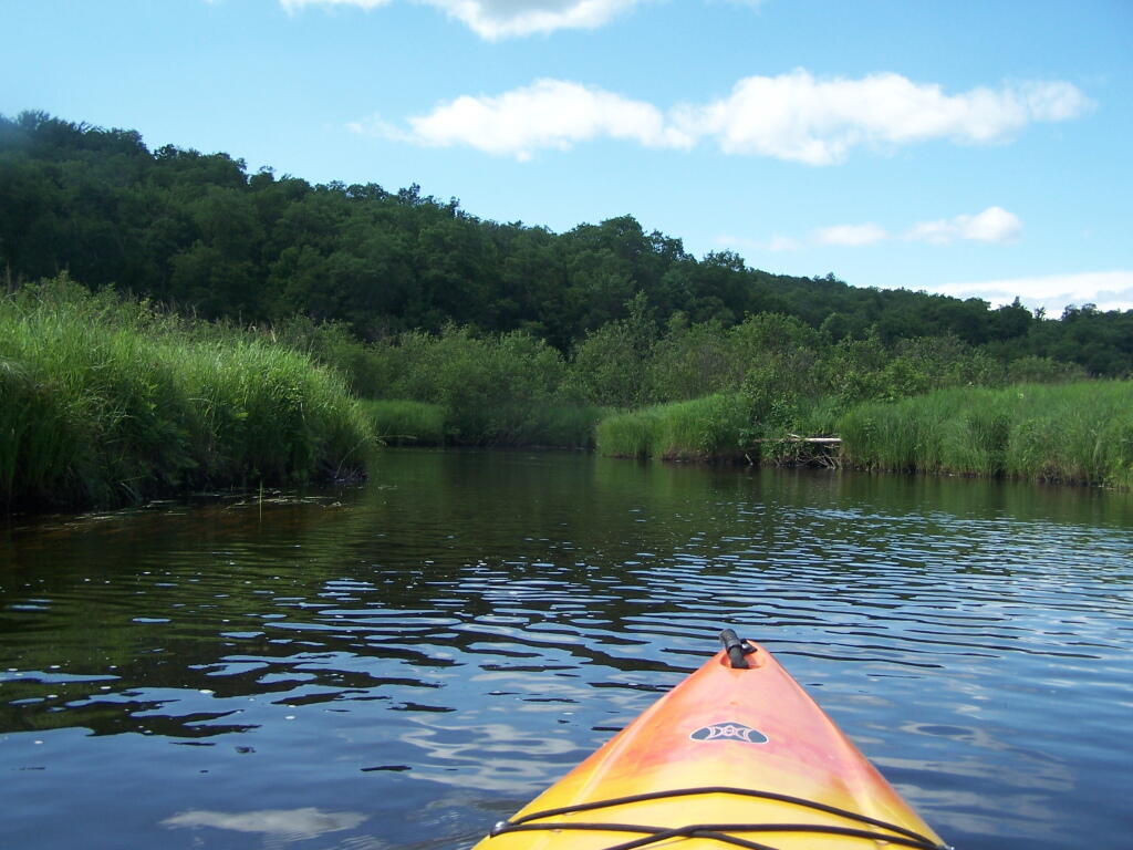
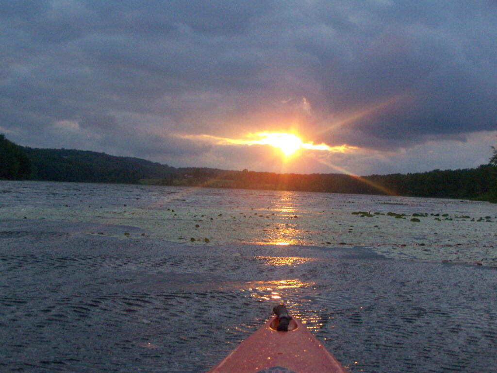
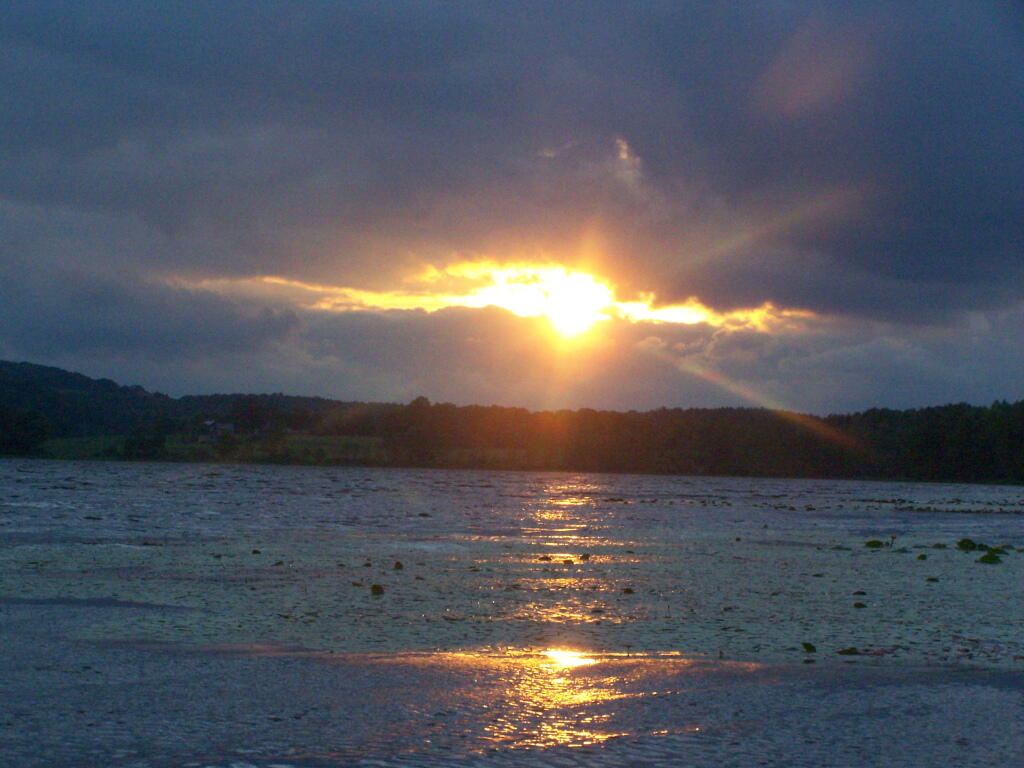
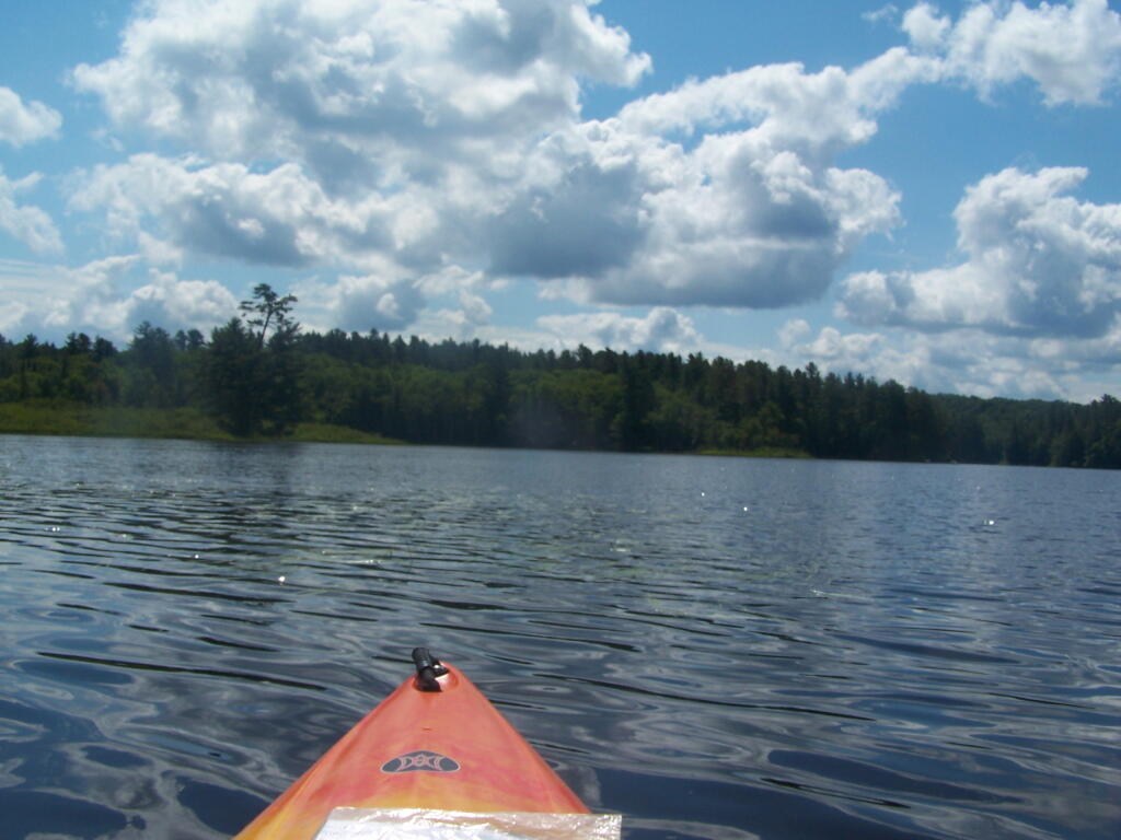
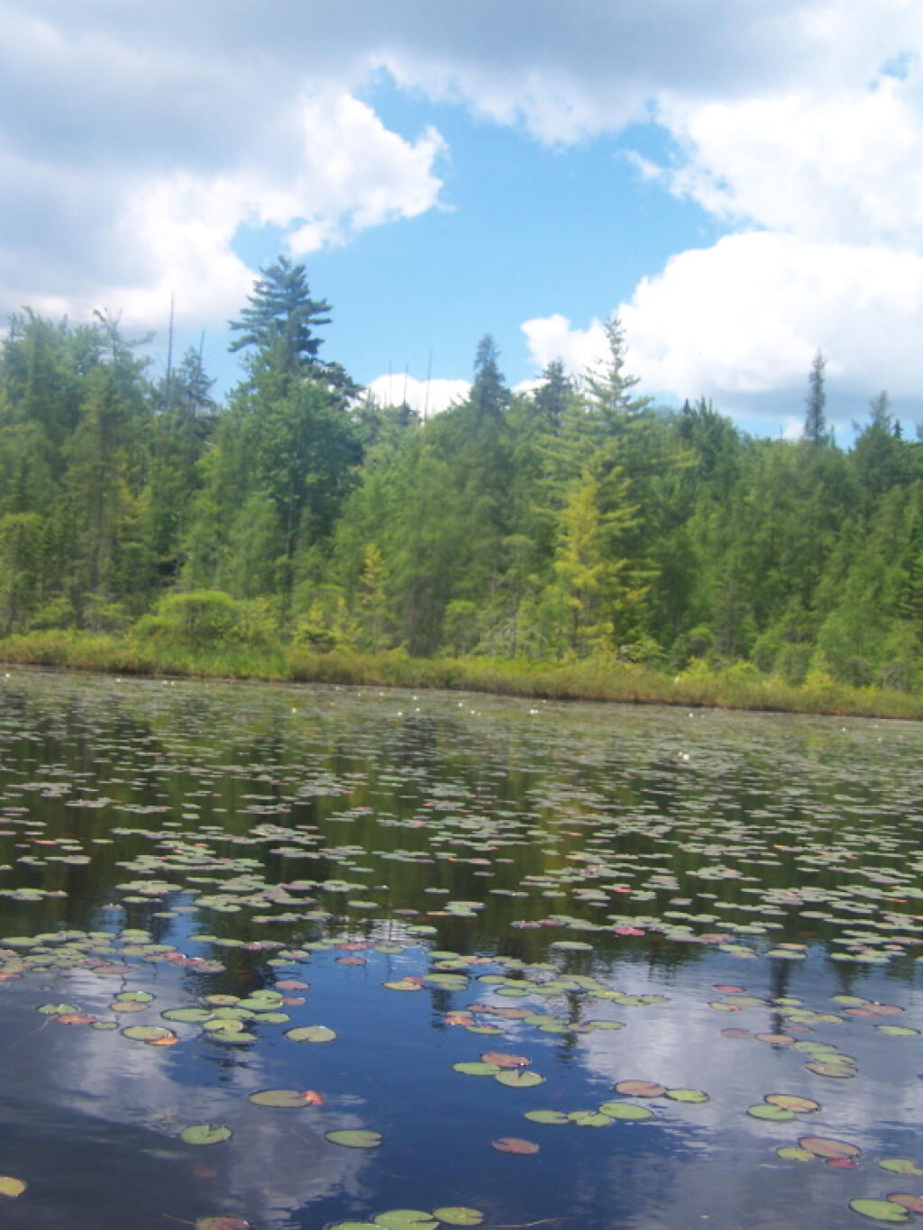
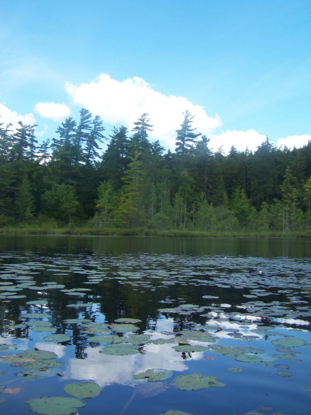
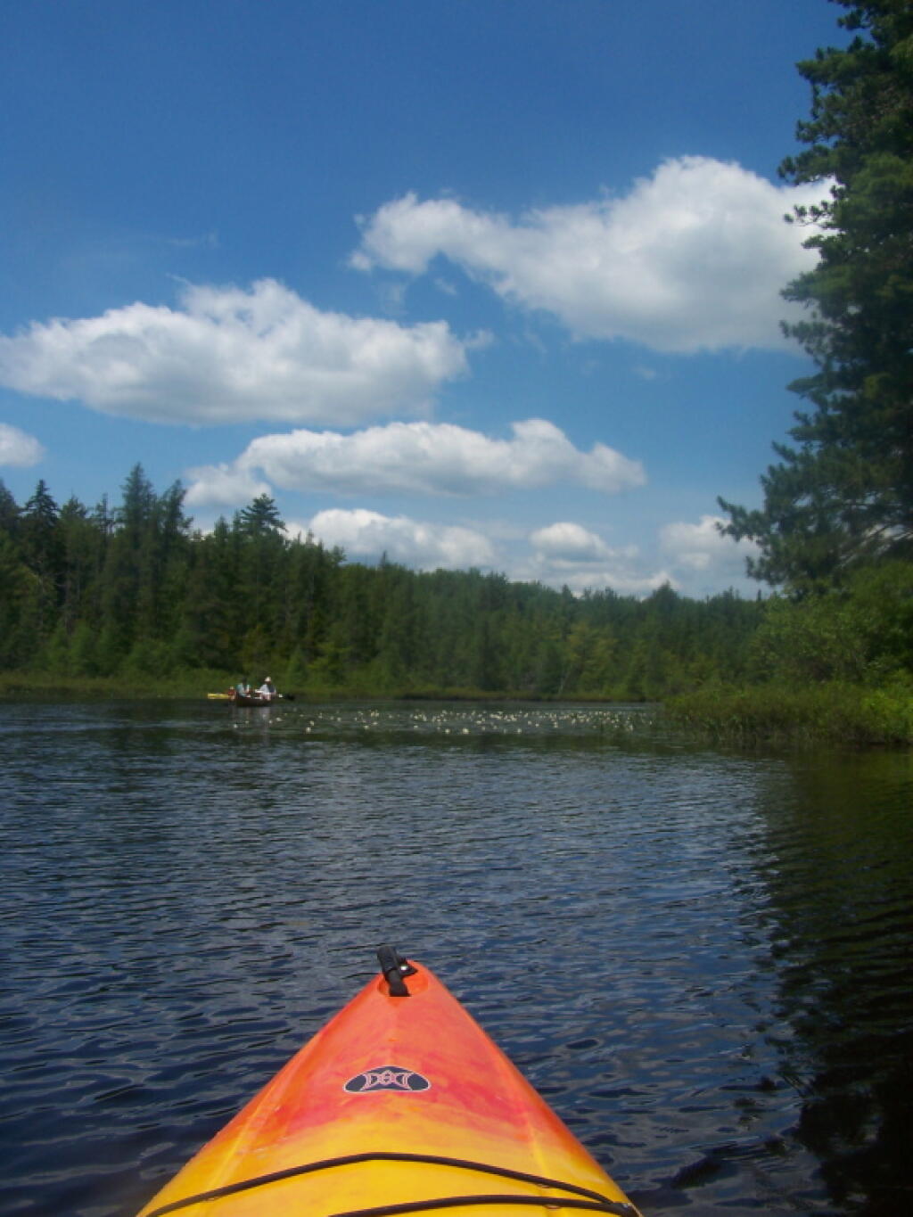
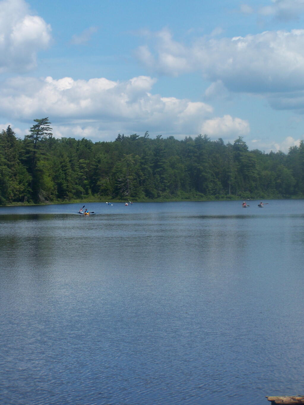
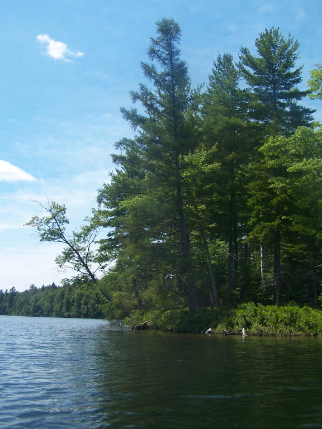
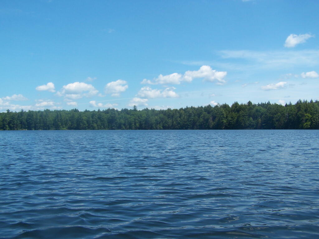
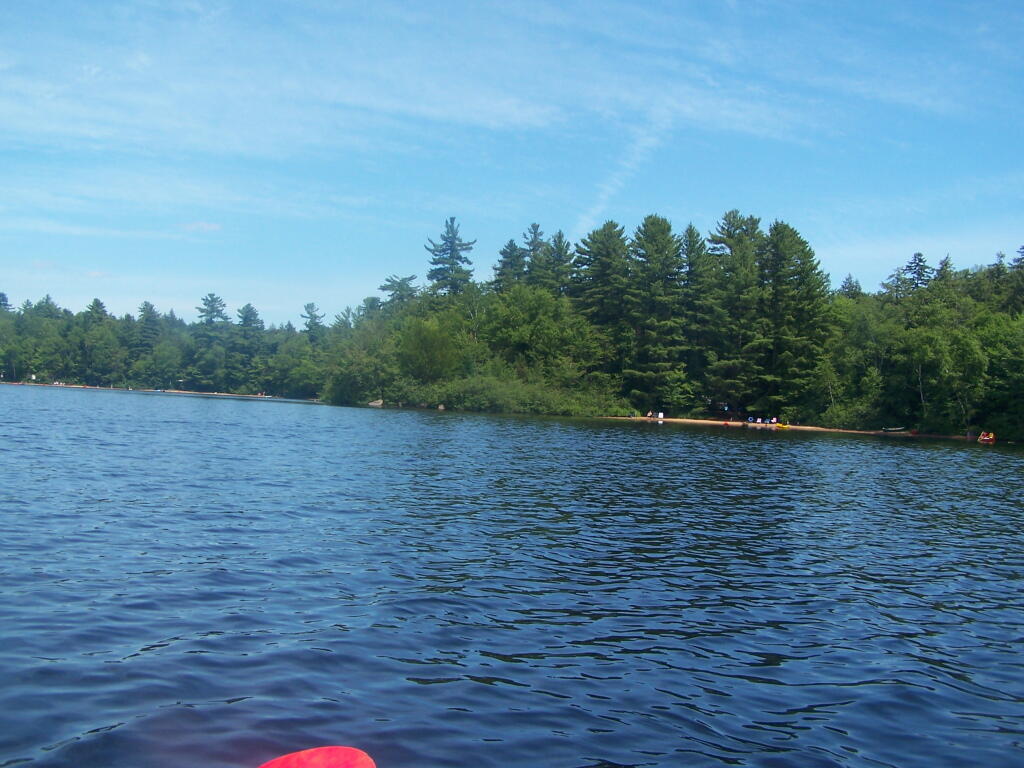
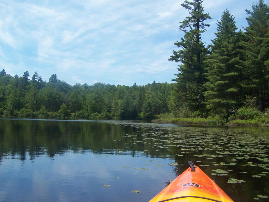
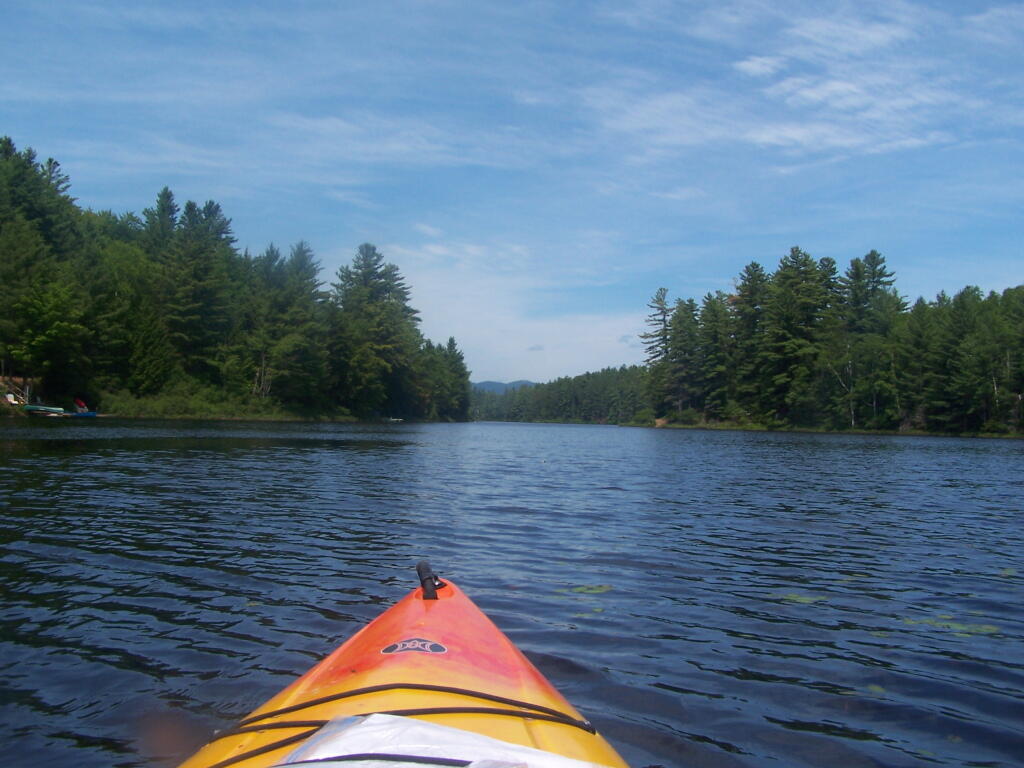
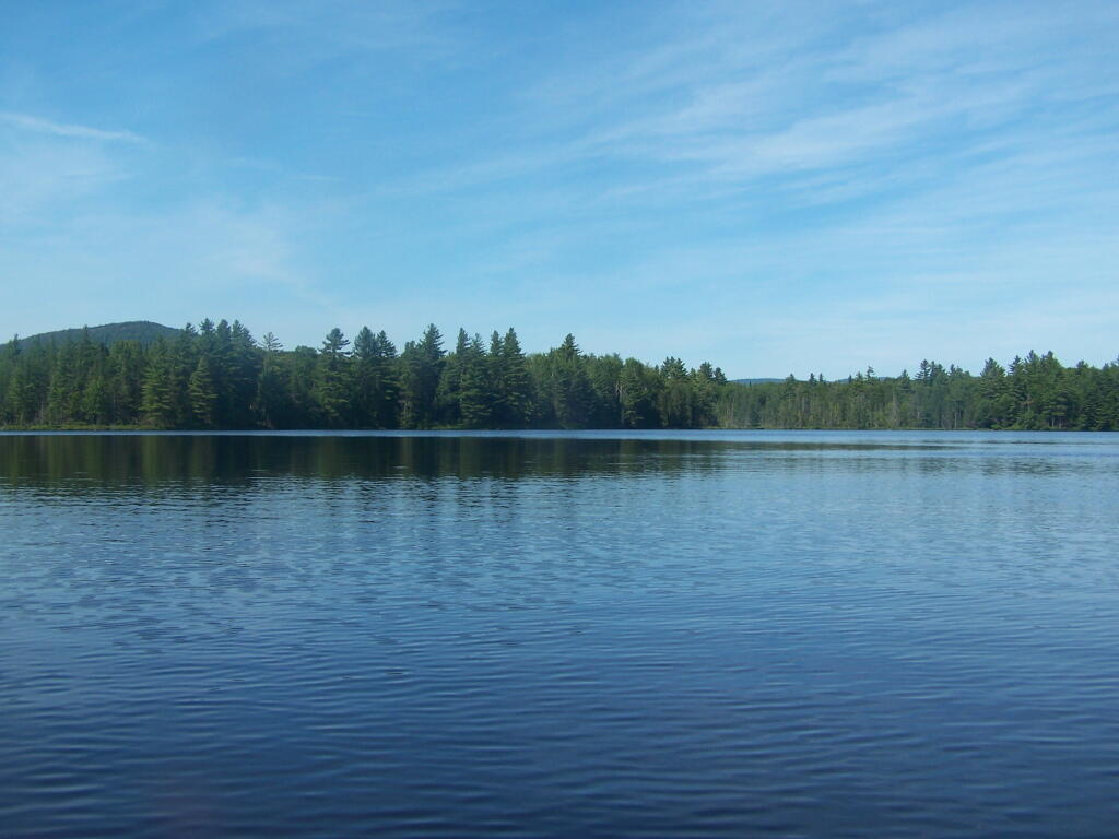
At around 10 AM I headed out. Bright sunny day, a lot of glare. None of the ponds are paticularly large.
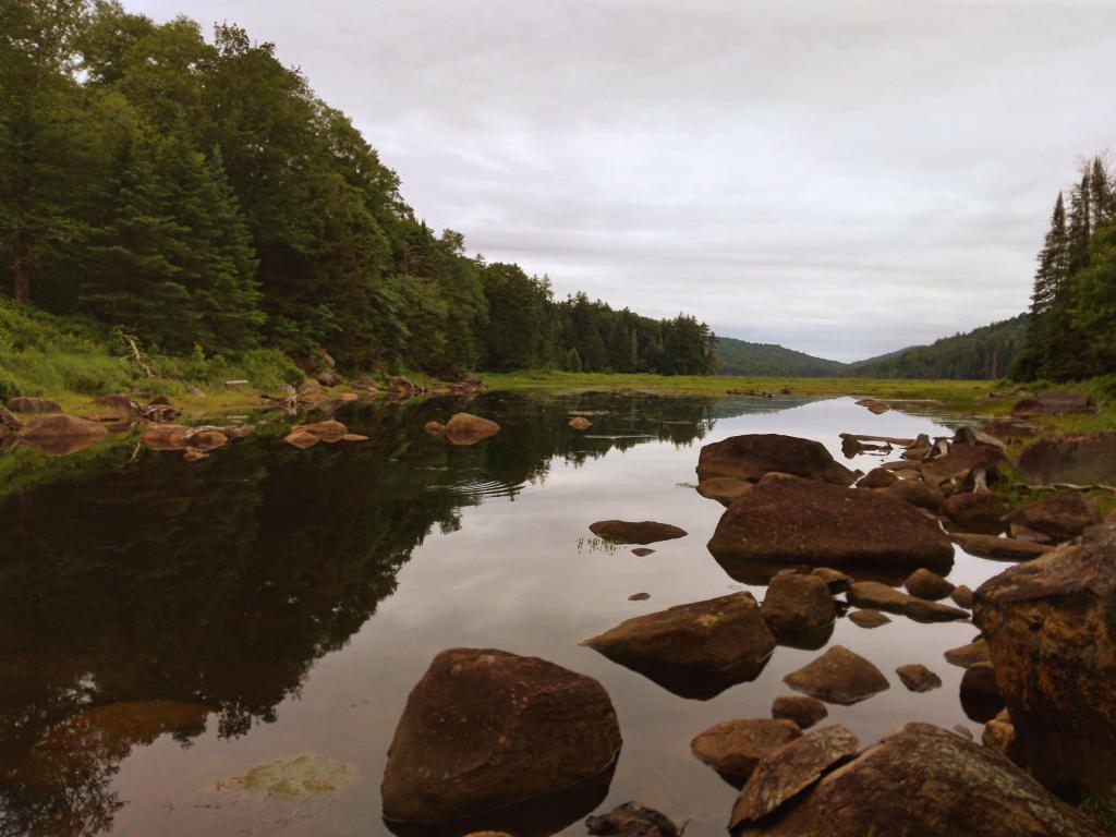
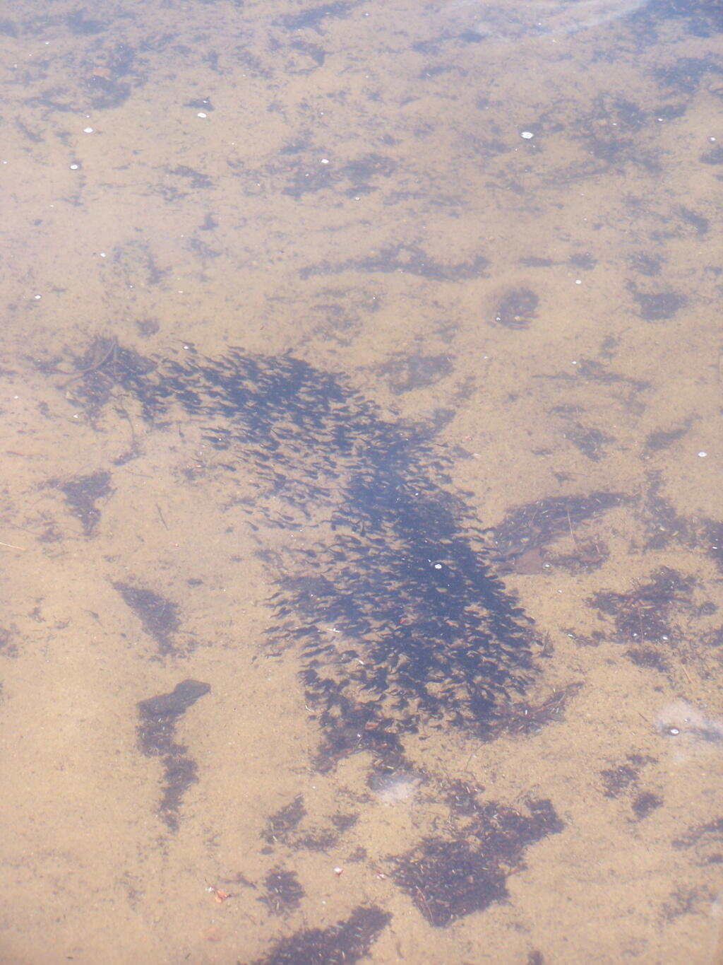
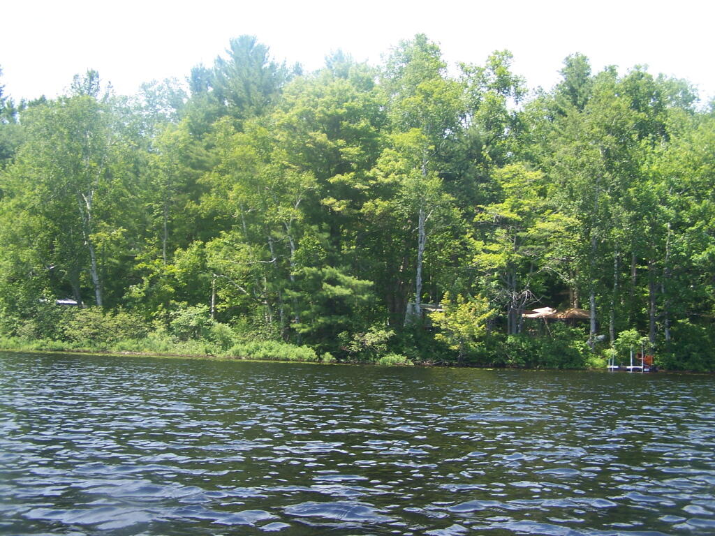
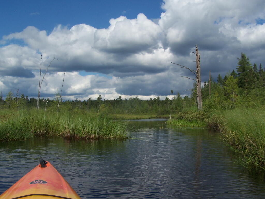
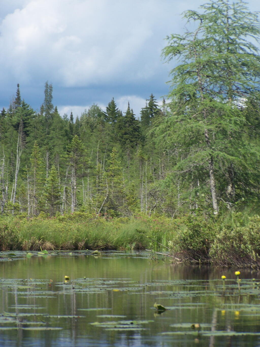
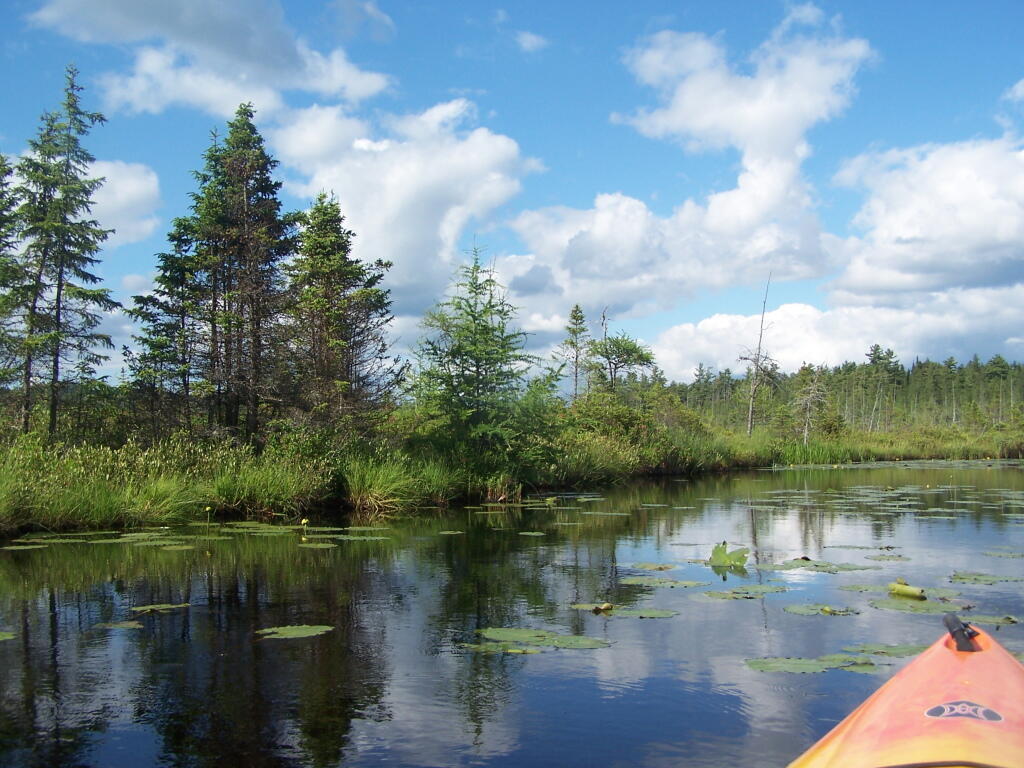
The Fish Creek between the ponds is quite narrow, and don’t be surprised if you hit some traffic. In parts the current can be fairly swift, although one can still paddle up or down stream with relative ease, just avoid the other boats.
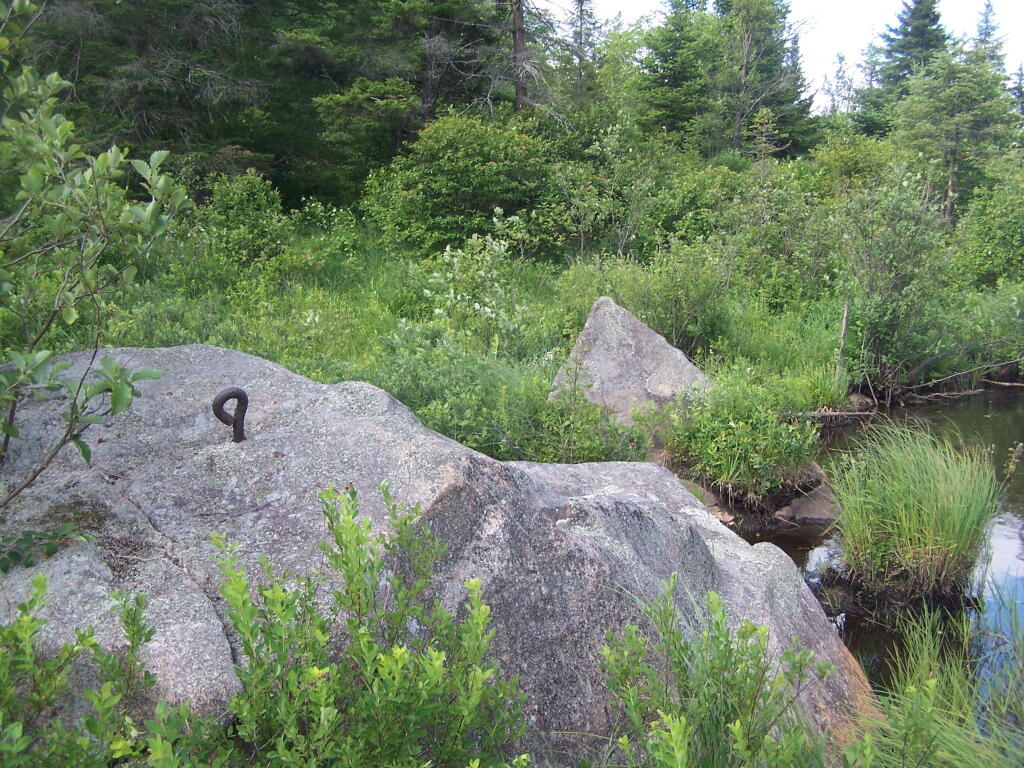
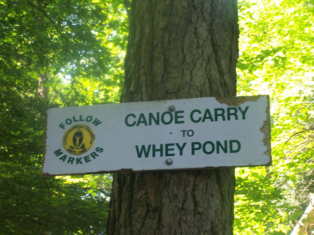
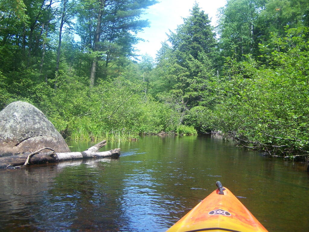
There is a 1/4 mile portage between Copreas Pond and Whey Pond. Despite being mostly sandy soil, with some roots, do NOT drag your kayak, if you want to avoid putting holes in it, as I learned the hard way.
There also is another short portage over a road, and through the Rollins Pond Campground, after you leave Whey Pond.
Overview of the Saint Regis Canoe Area, including other ponds and all of campsites.
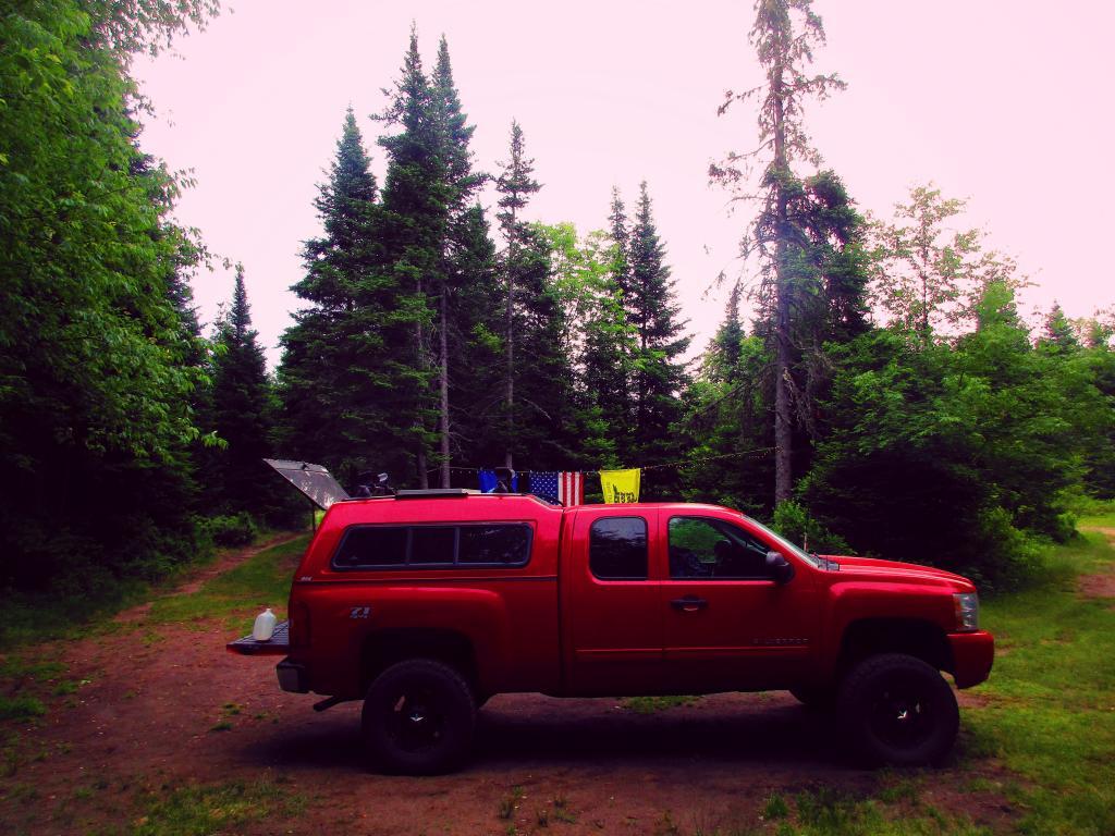
And if you prefer roadside camping with a trailer or pickup truck cap, take a look at these sites.
… I hope you enjoyed these pictures and maps from the Floodwood Loop.
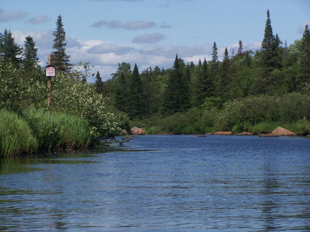
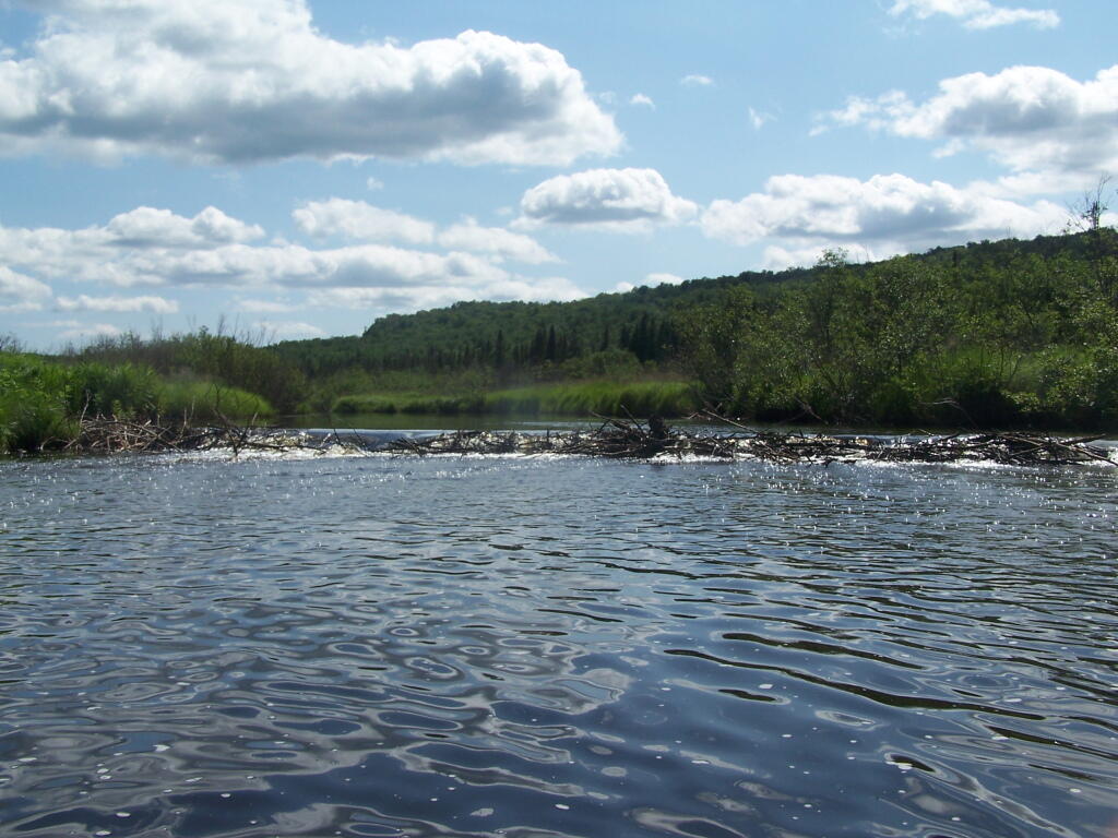
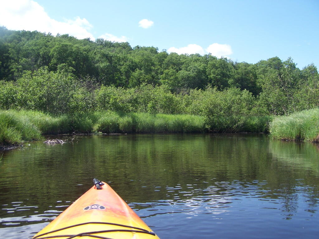
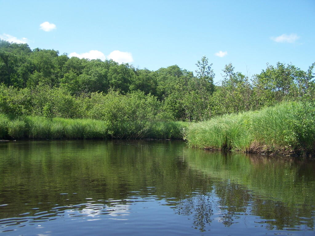
Barnum Pond, right behind the Adirondack Vistors Intreprative Center, offers some great views, and can be accessed for free from NY 30, one mile north of VIC and one mile south of Mountain Pond Camping Area. Click on the map below, to display a full-size version, perfect for printing and slapping in a plastic bag, to strap on your kayak.
Here are some pictures I took while was paddling around this lake, proceeding from NY 30, along the Southern shore until I got to the Barnum Pond outlet, which you can continue on for about a mile until a beaver dam. You can portage around the beaver dam, if you choose, however a 1/2 mile below that is a series of man-made dams in Paul Smiths you must go around, to get down to Lower St Regis Lake.
If you visit here, consider camping at Mountain Pond.
The Little River offers some interesting kayaking opportunities, and can be part of a roadside camping experience at Streeter Lake in Aldrich. Here is a map, you can click to expand and print up.


![Untitled [Expires December 16 2024]](https://andyarthur.org//data/photo_008174_large.jpg)