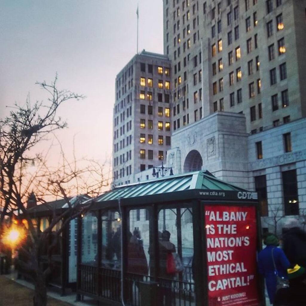
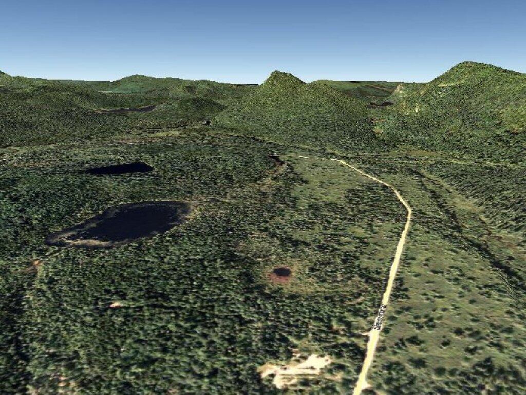
This past week, I decided to re-do the Moose River Plains Maps I had previously rendered in QGIS. I got some new data from the DEC, and wanted to simply the existing maps by taking off Wilderness Boundaries, and other details not of particular interest to hikers, campers, and kayakers. I also removed campsites that are in process of being removed or relocated under the finalized Unit Plan for the area. Be aware that the elevation on these maps is metric, as that’s what the NYSDOT Topographic Maps use in this region.
Click on any of the maps to display the high resolution version, that you can download and save, or print. Laser printers are great, especially for the Cedar River Flow Maps, as they’ll keep the ink from the running. All of these maps are free for you to use and distribute as they are based on public data. If you have ideas on how to improve these maps or seek similar maps of the area of other trails or locations, please feel free to contact me at andy@andyarthur.org.
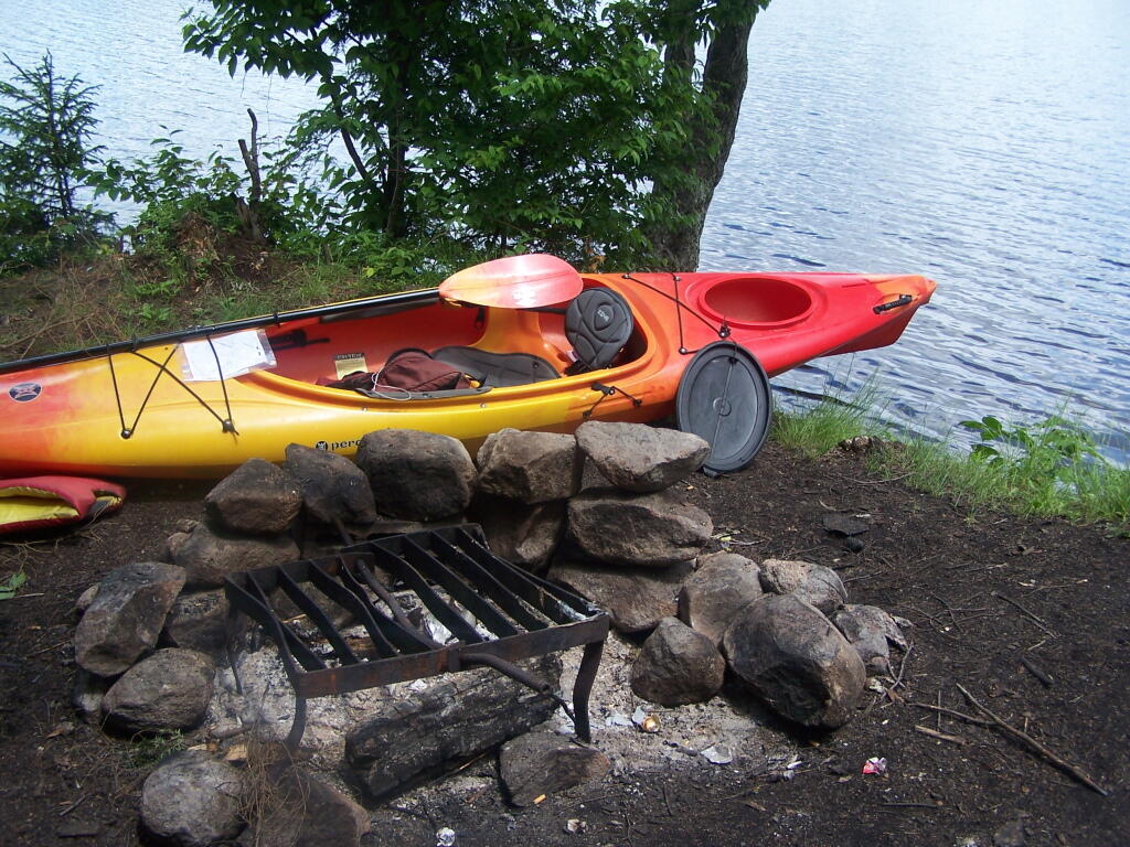
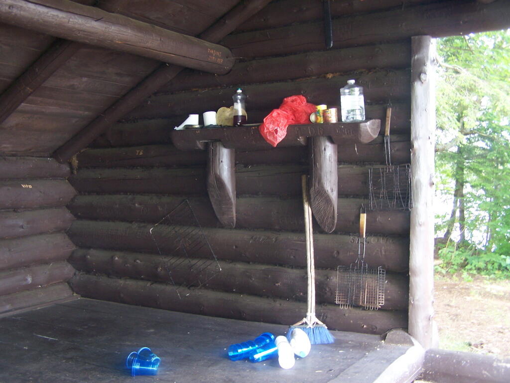
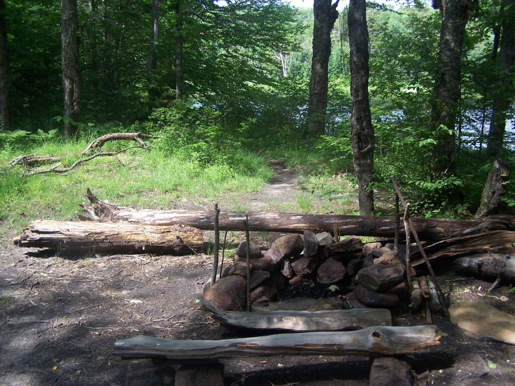
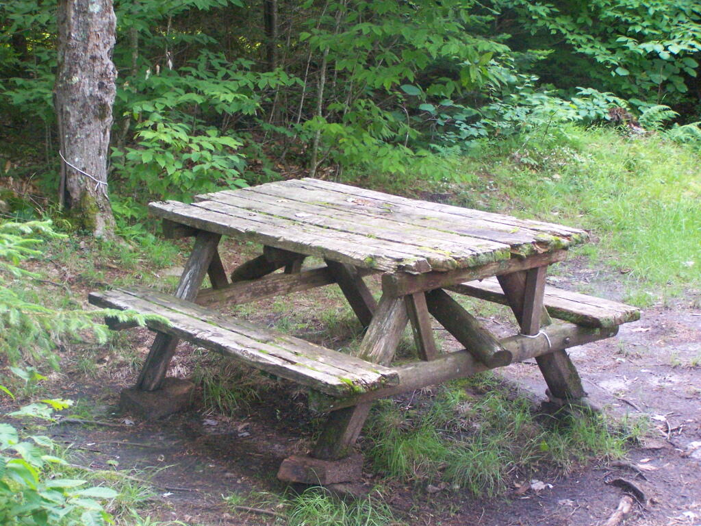
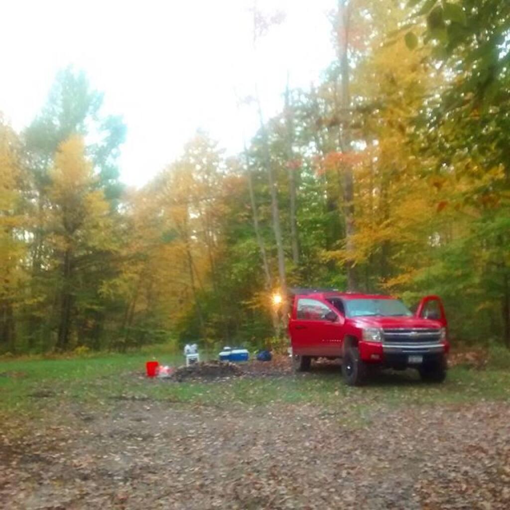
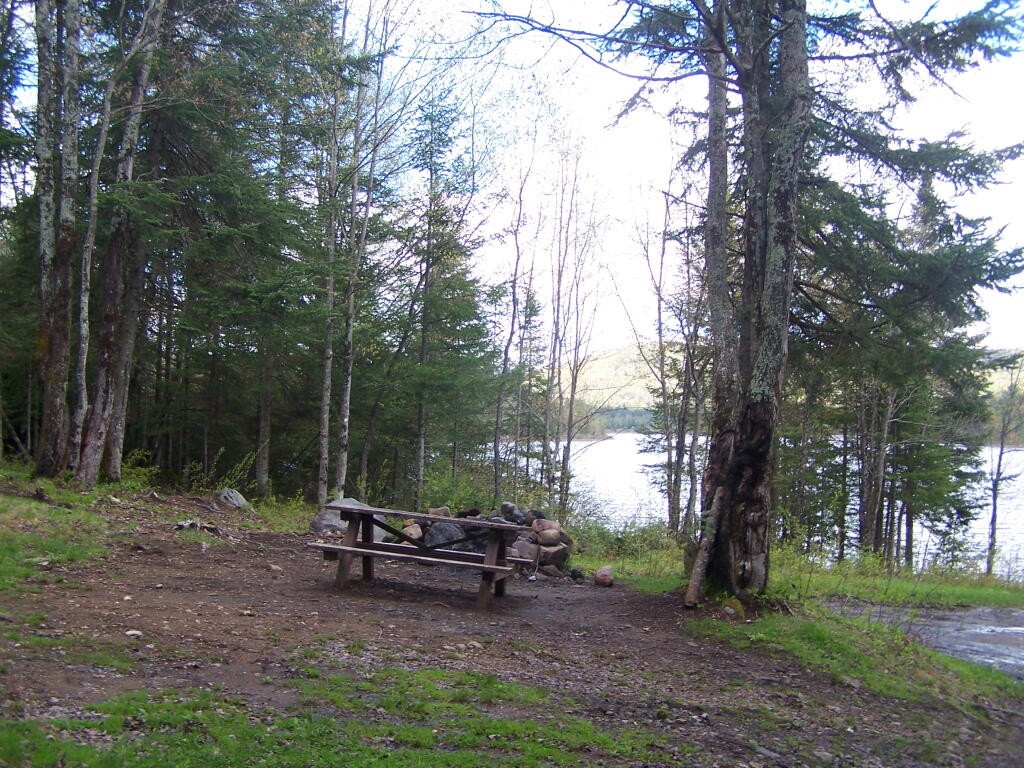
There is no charge to camp here, however if you plan on staying more then 3 nights, you will have to a get a free permit from the forest ranger. Most campsites offer picnic tables, fireplaces or rings, and outhouses. Moose River Plains are all back country dirt roads, with a speed limit of 15 MPH, and there are some rough sections on the roads. As of September 2011, all of the roads shown on these maps are open.
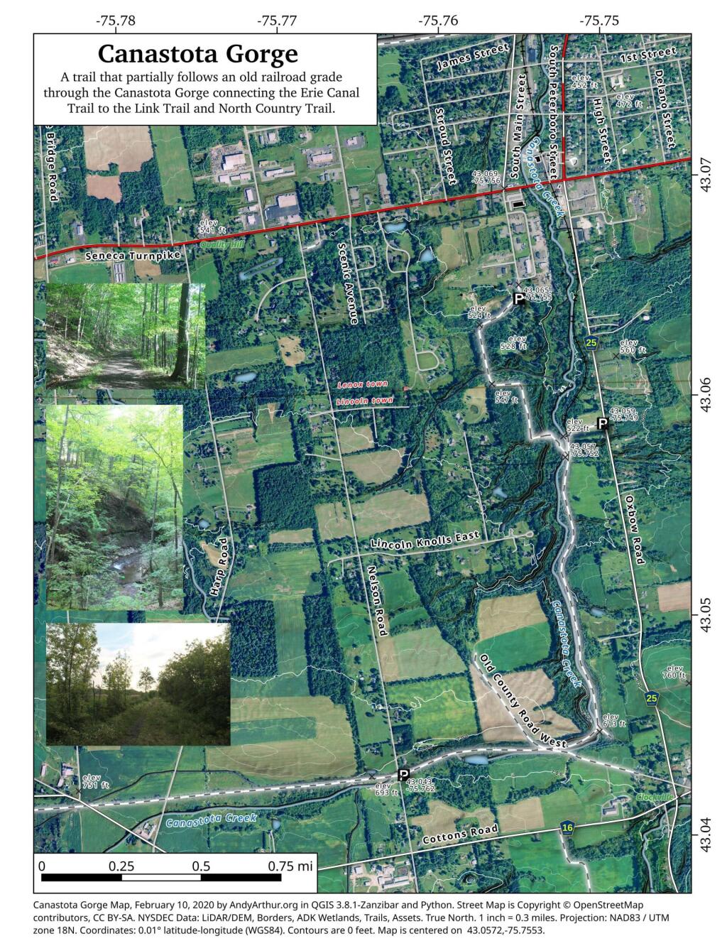
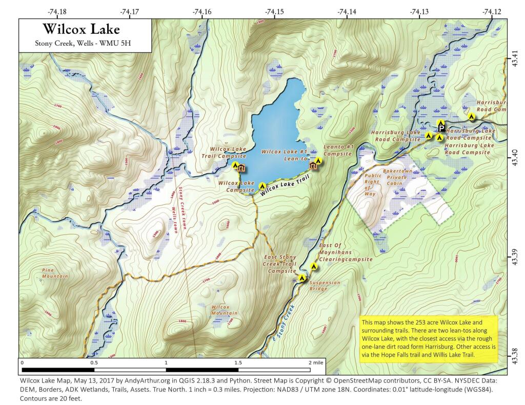
Moose River Plains Camping Area.
Roads are red, hiking trails are black dotted lines on the map. All of the campsites in pink shaded area (“Moose River Plains Camping Area”) offer vehicle accessible camping including RVs and other tow-behind campers. The campsites outside of the “Camping Area” — specifically those on Otter Brook Road — will in the future be reserved for tent camping (most with vehicle accessability) except during Big Game Season when campers will be allowed at all sites. Most of the other trails with campsites on them offer wheelchair or mountain bike accessiability, as they tend to be gravel paths.
Moose River Plains Campsites.
Note: Campsites are numbered starting from the east, as you are coming from Cedar River Flow, heading towards Limekiln Lake. Many campsites have been closed or added over the year, and that’s why there are many gaps in the numbering system.
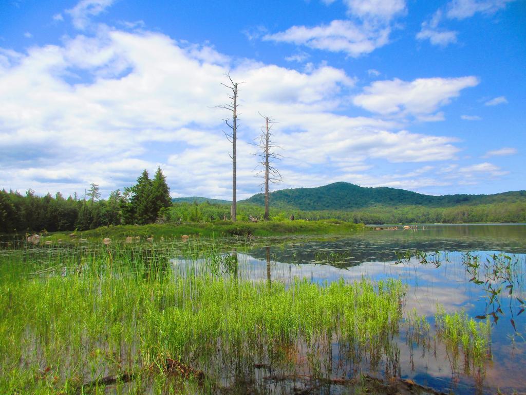
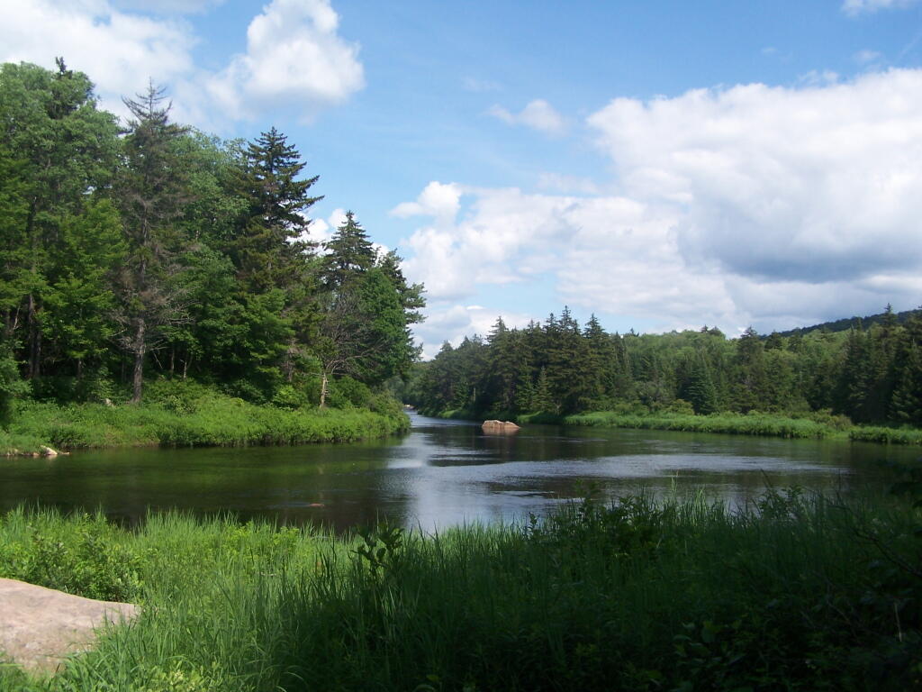
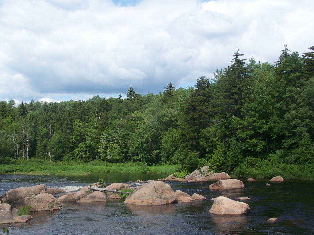
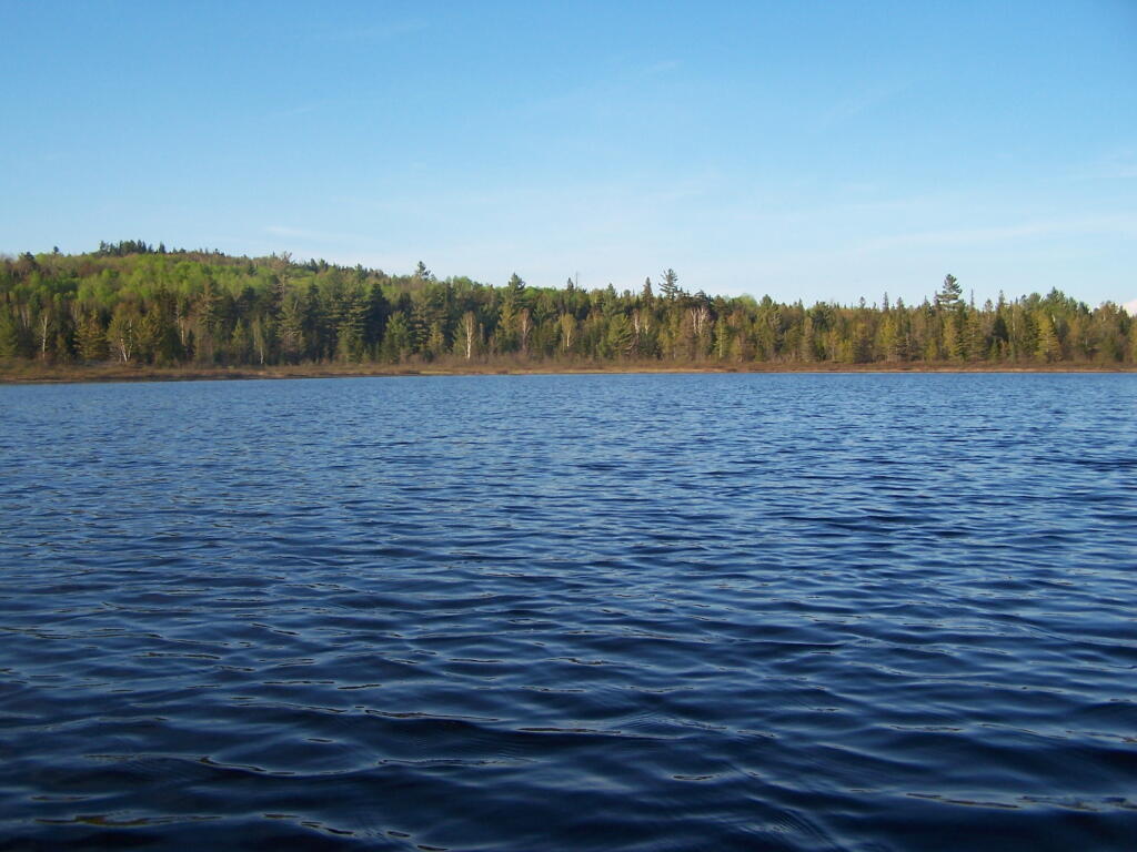
Cedar River Flow and Wakely Dam.
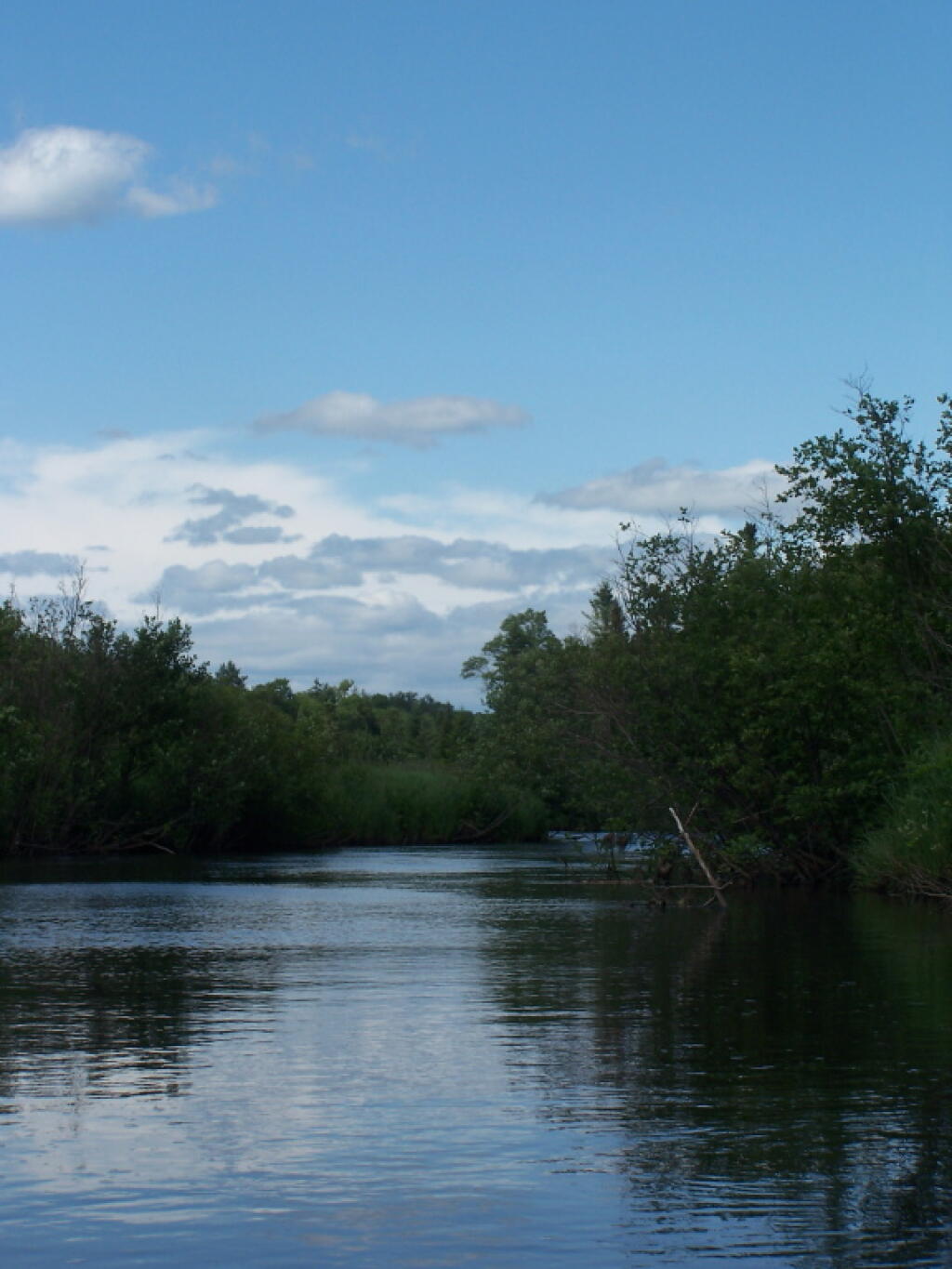
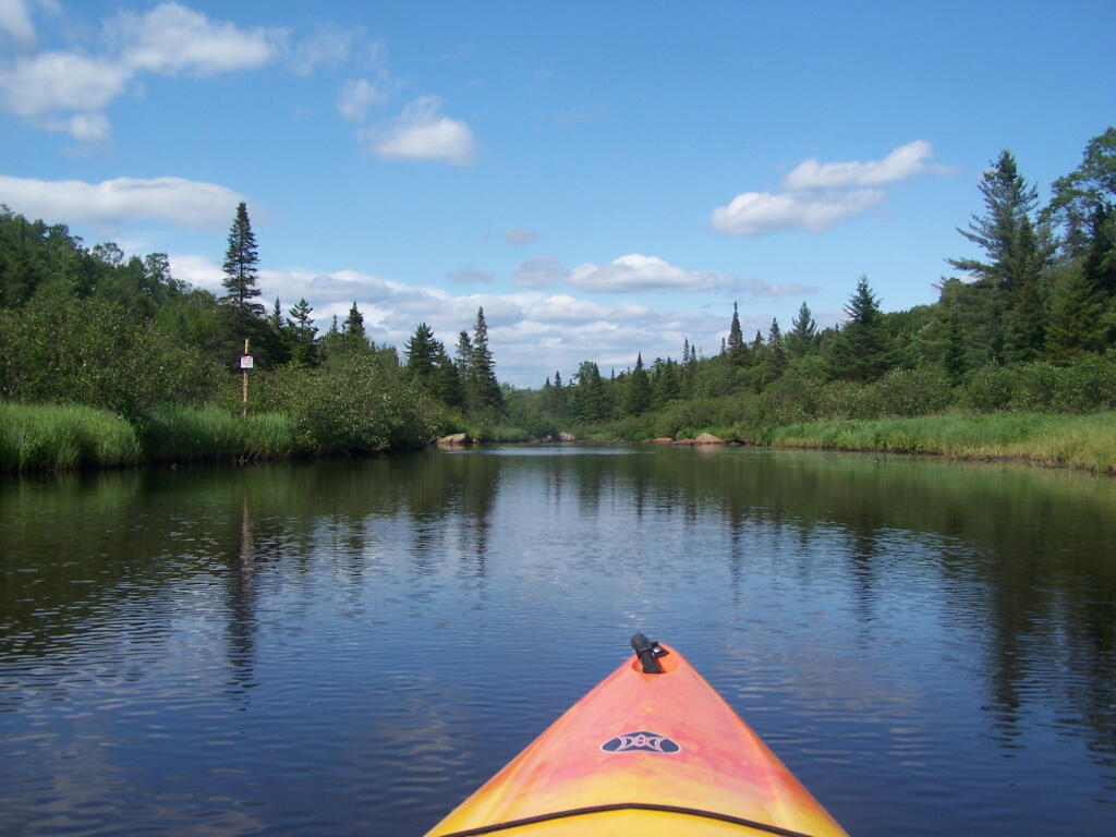
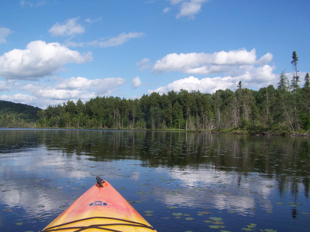
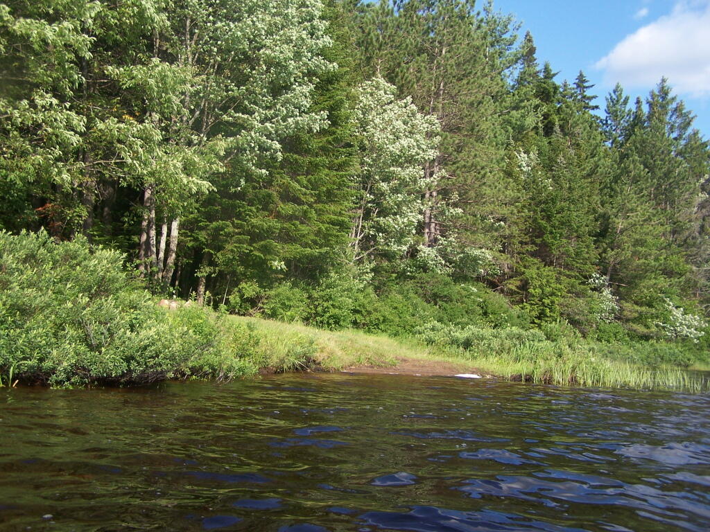
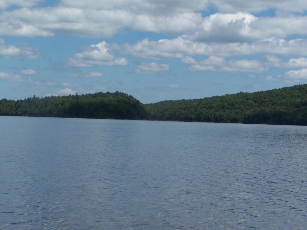
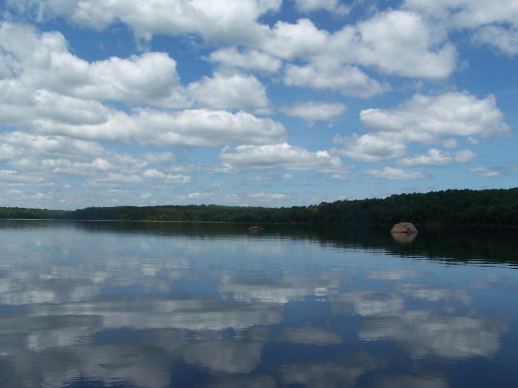
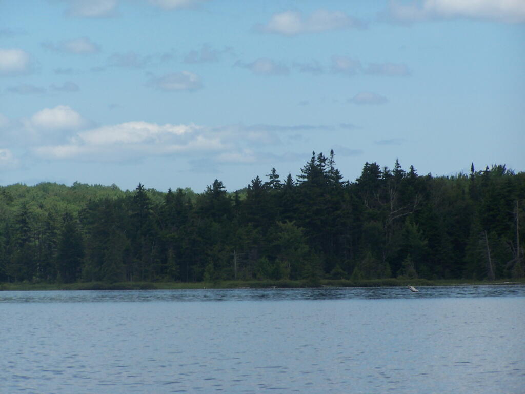
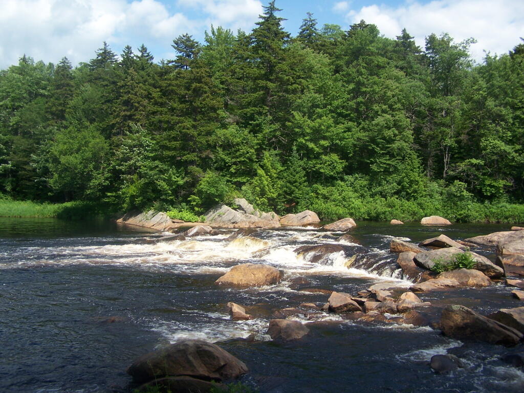
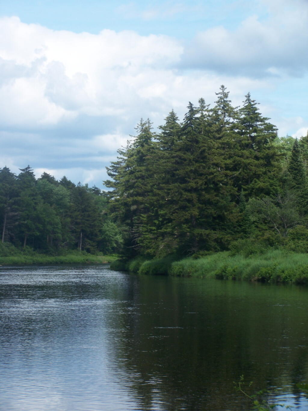
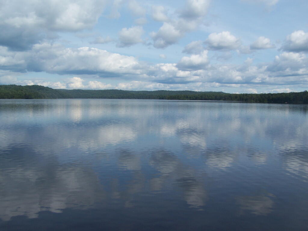
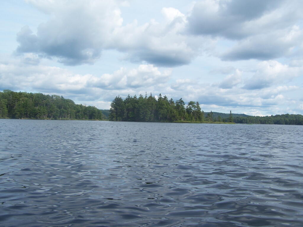
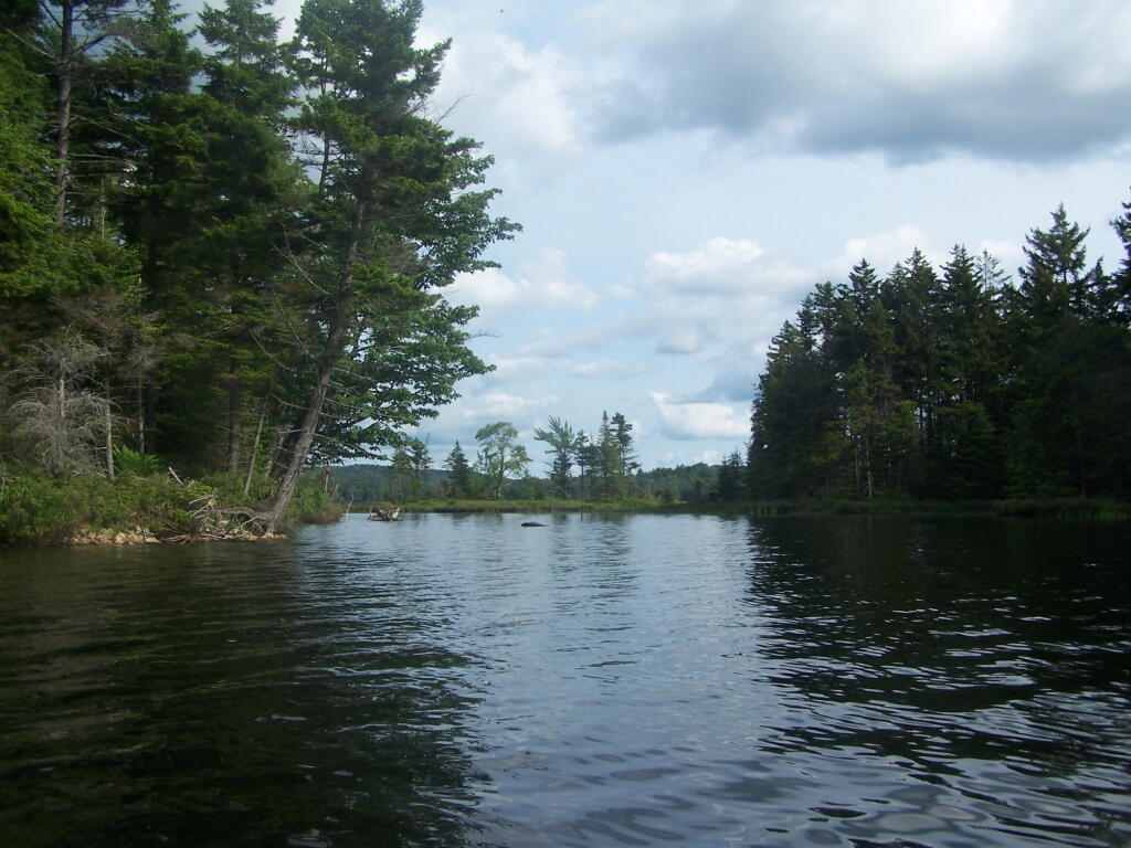
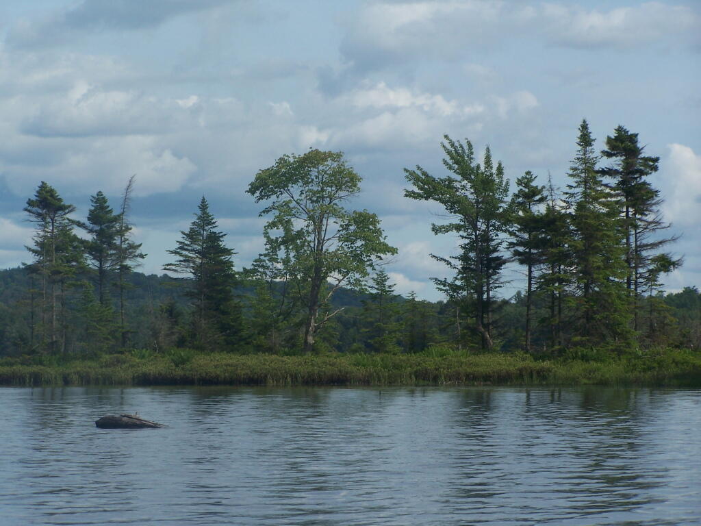
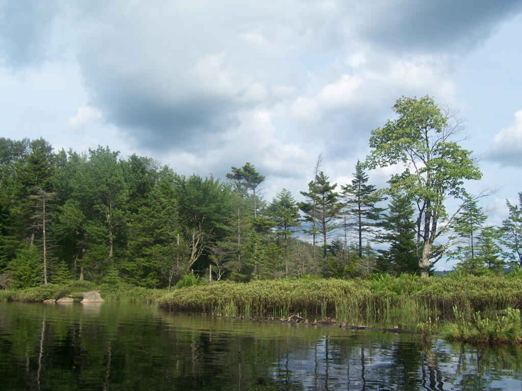
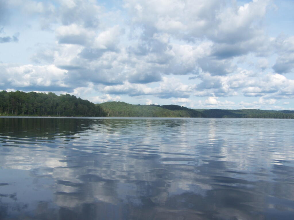
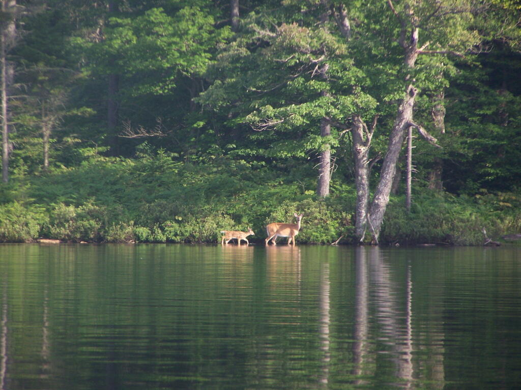
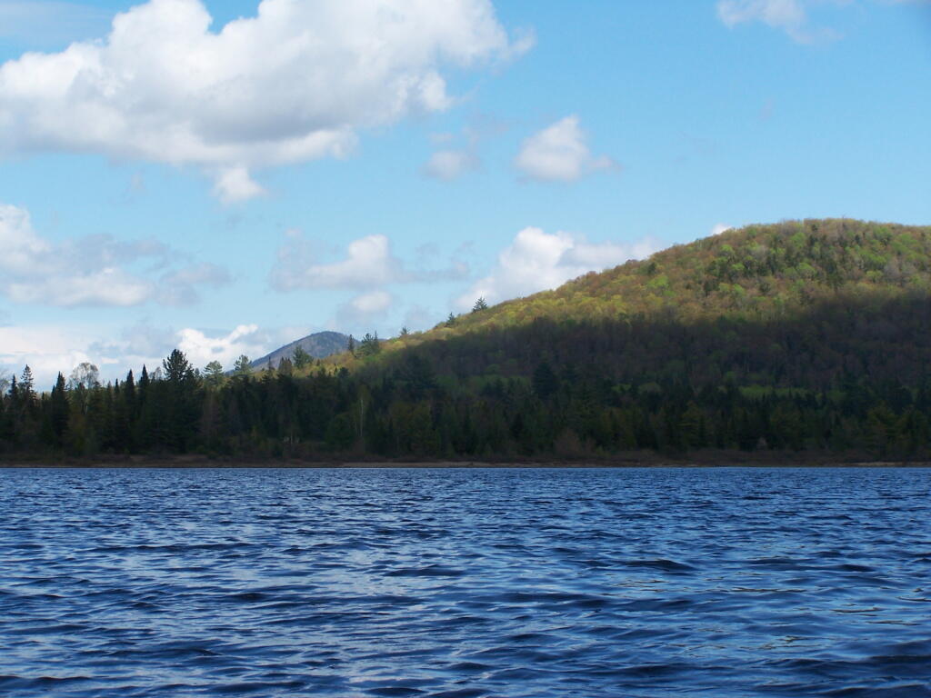
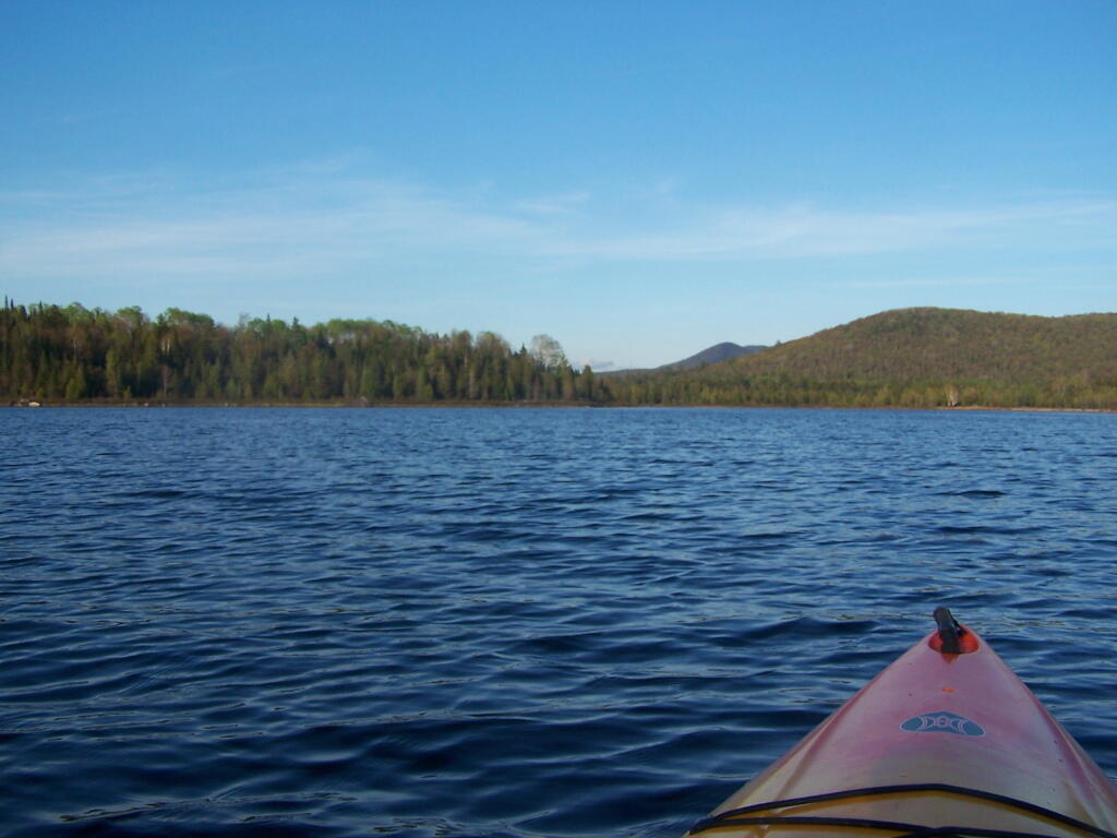
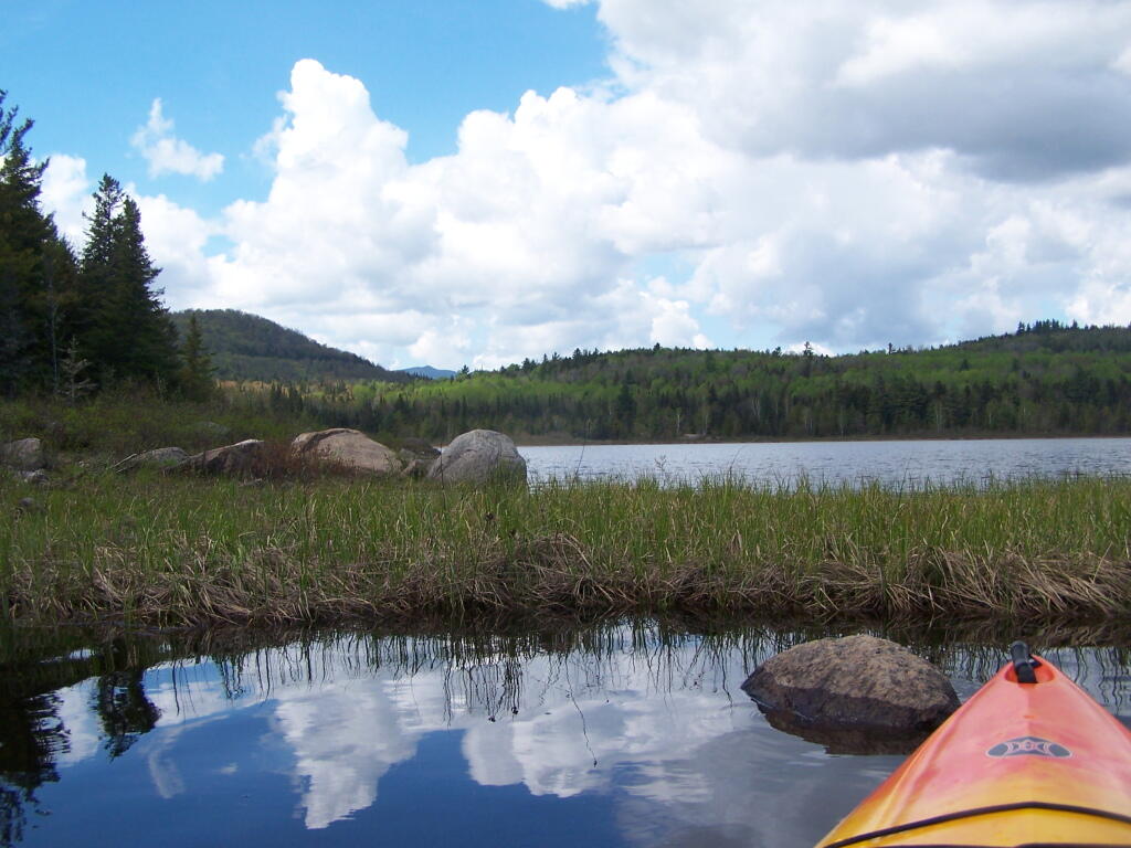
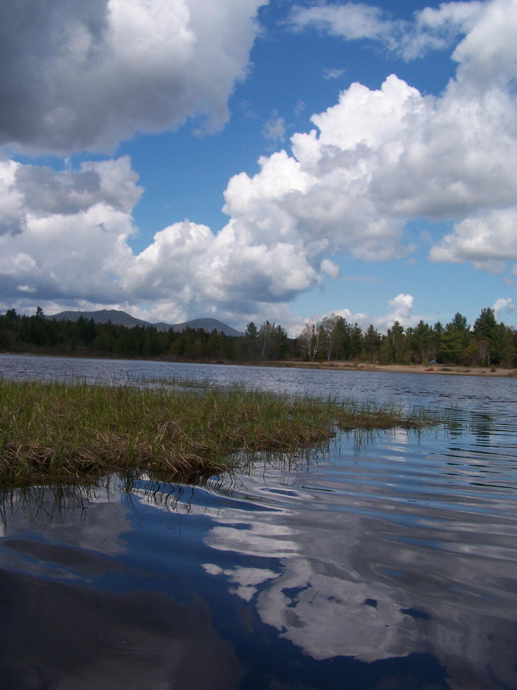
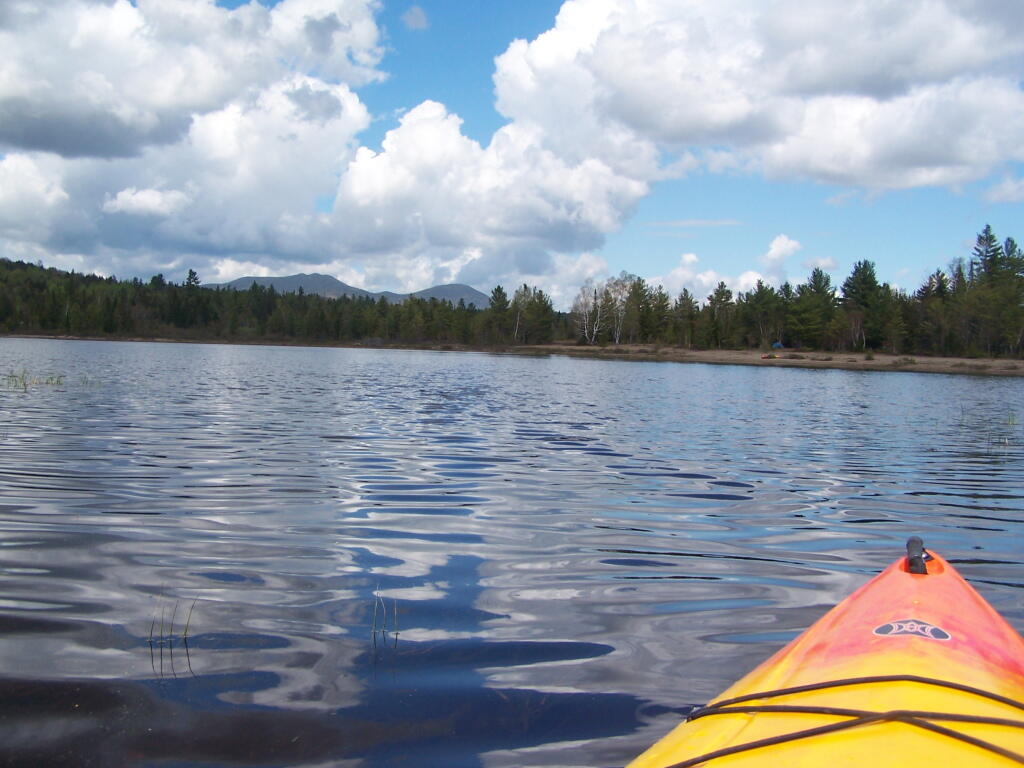
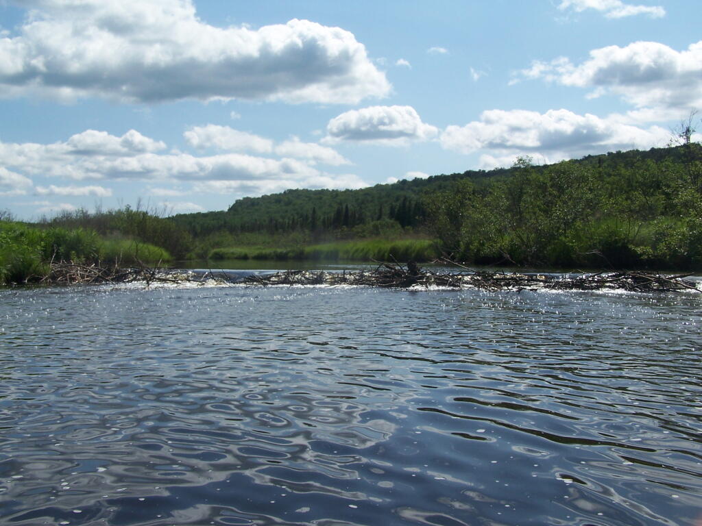
Cedar River Flow is a popular destination at Moose River Plains. In many ways it’s the gateway to Moose River Plains, as you reach Wakely Dam, which holds back the waters of Cedar River Flow as one of your first destinations heading West on Cedar River-Limekiln Lake Road from Indian Lake.
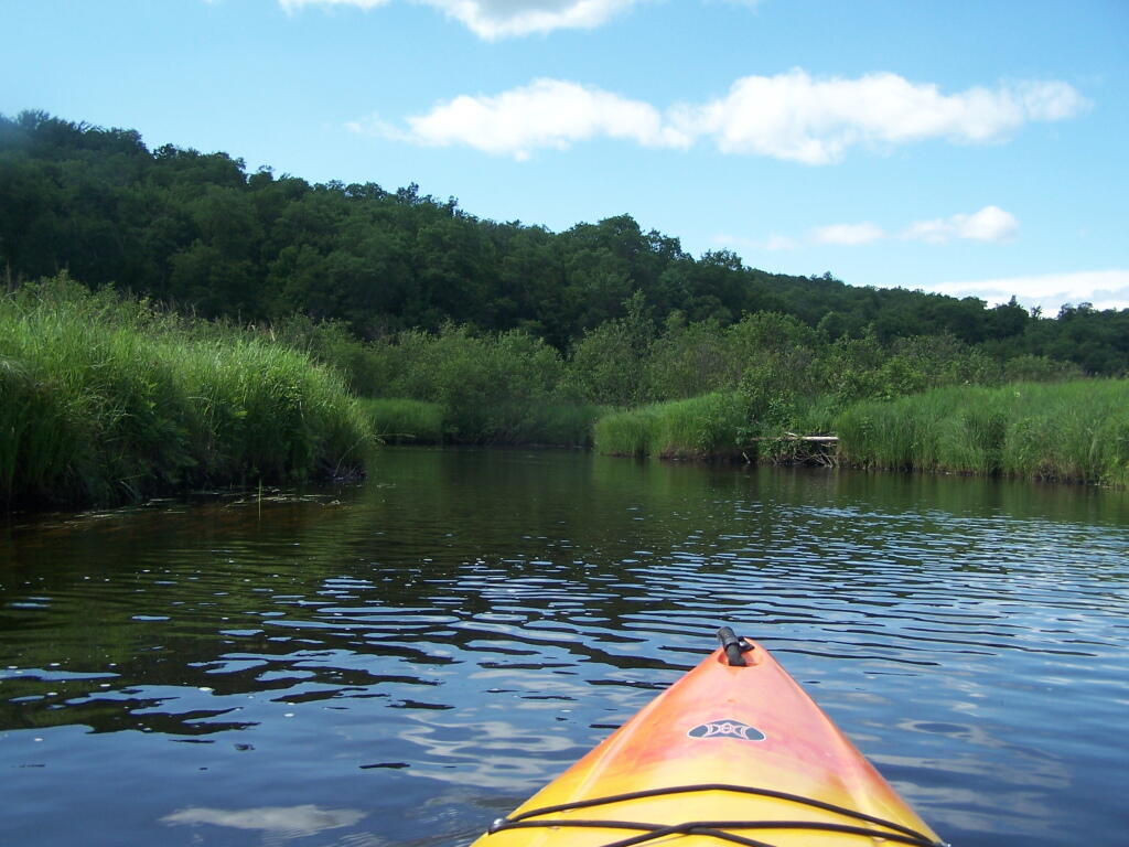
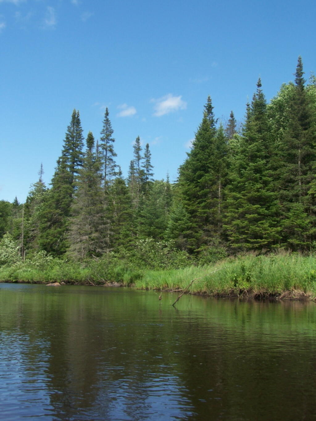
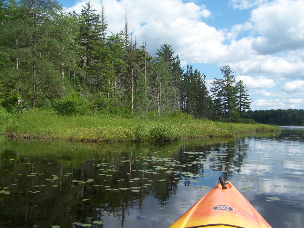
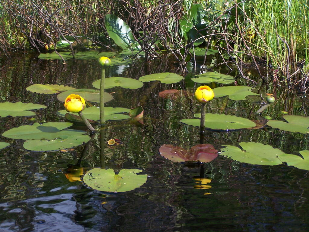
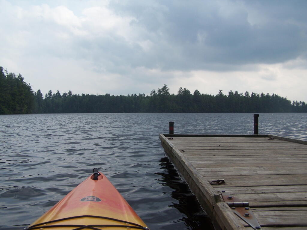
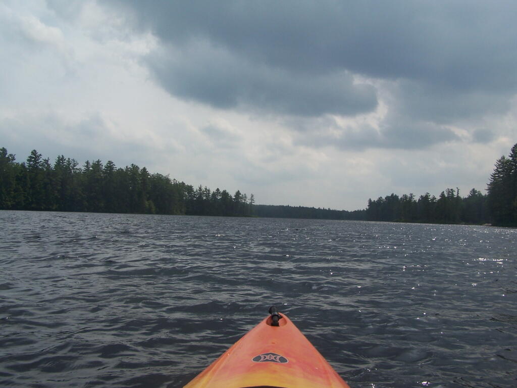
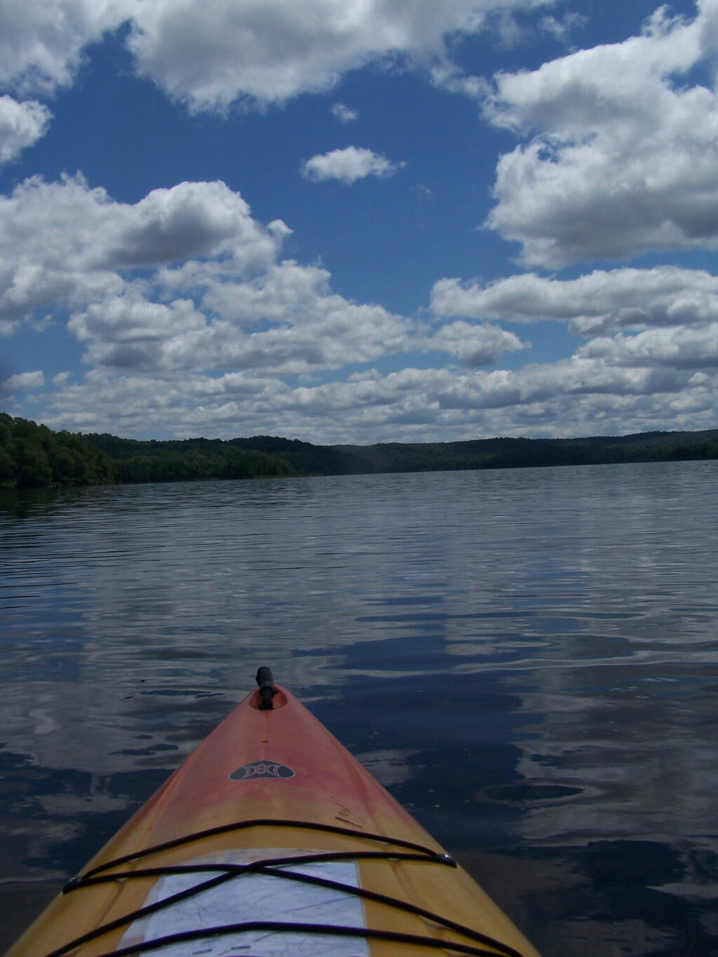
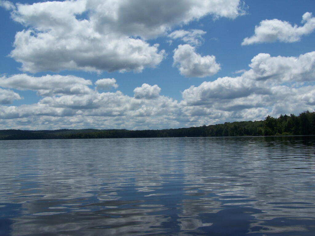
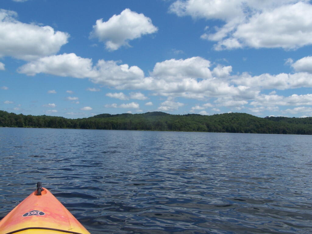
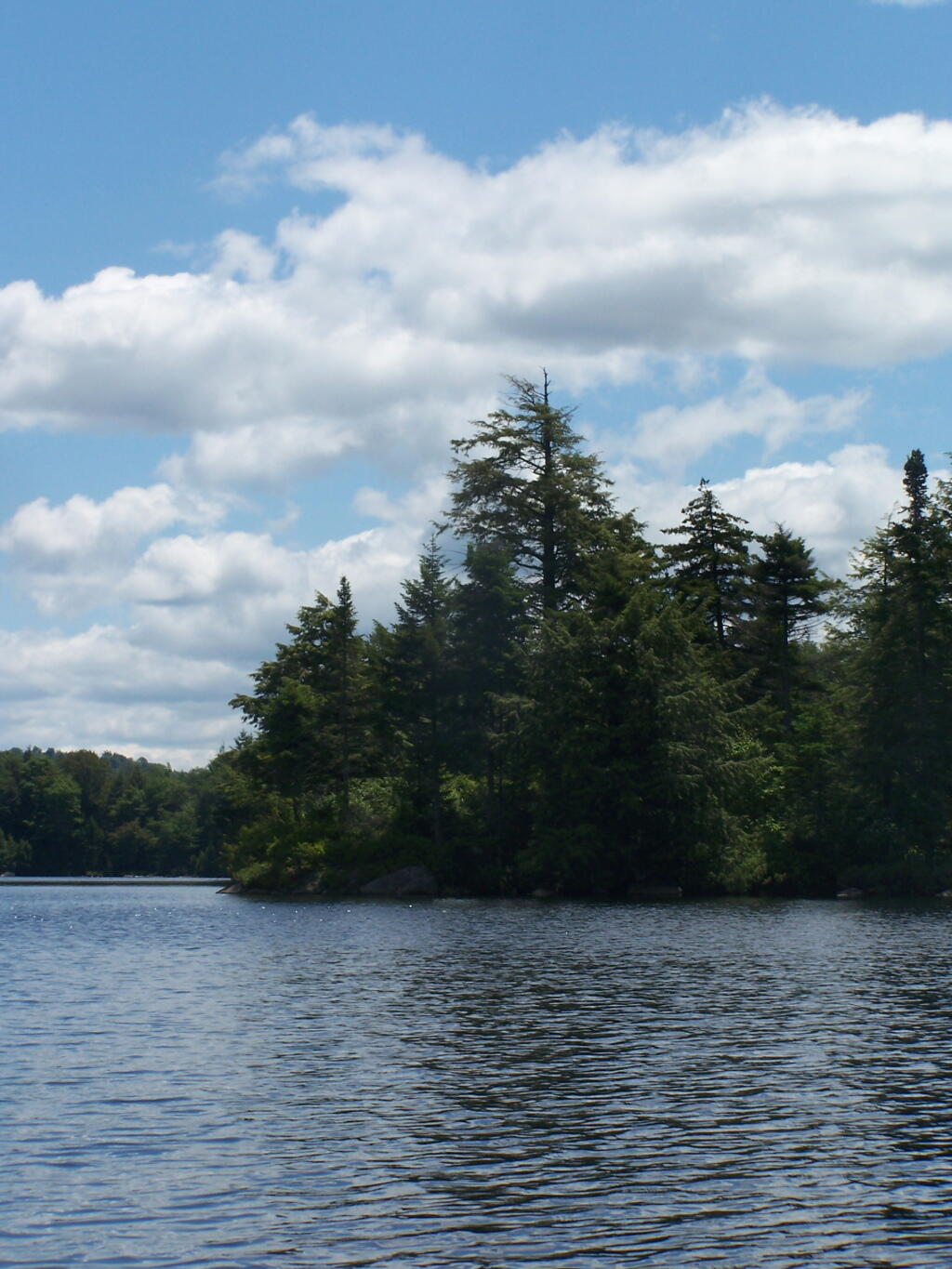
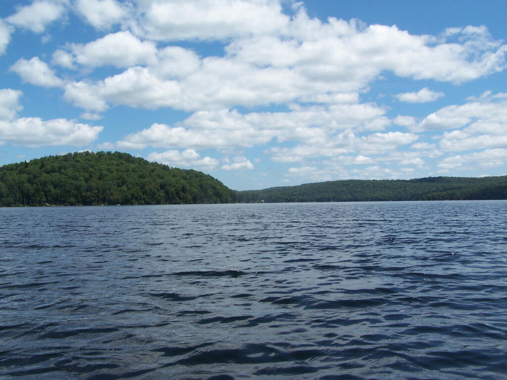
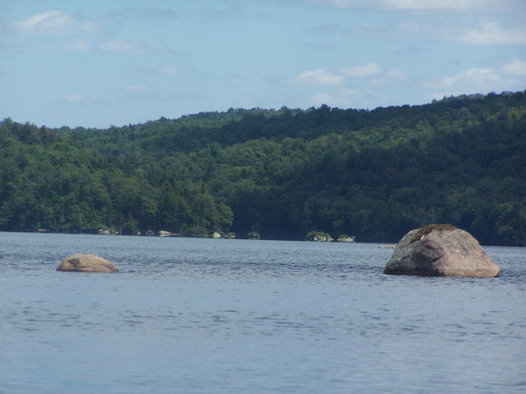
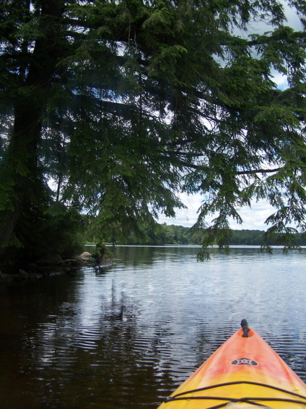
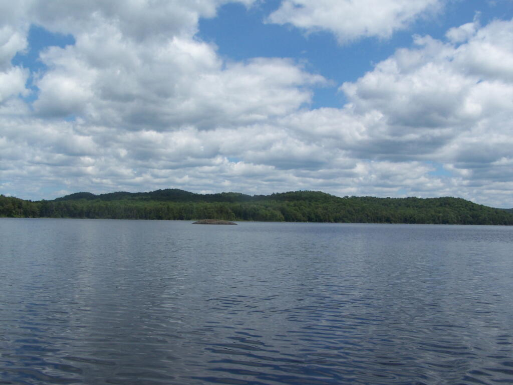
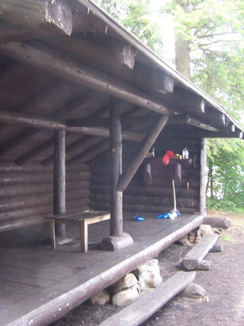
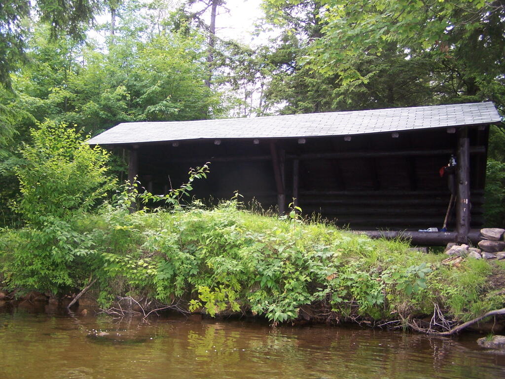
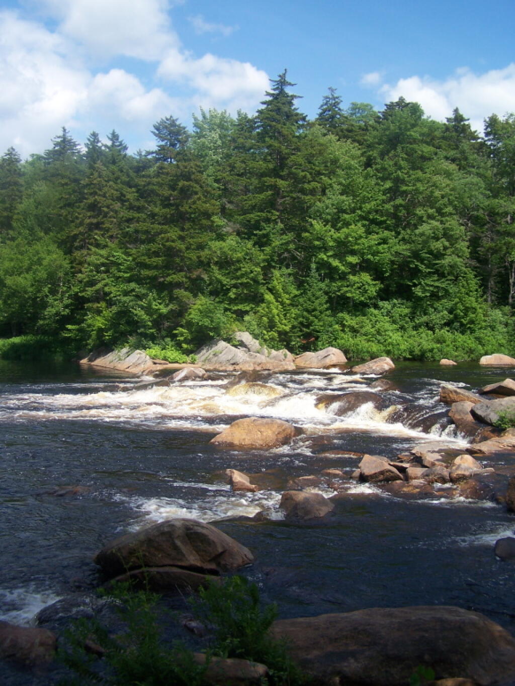
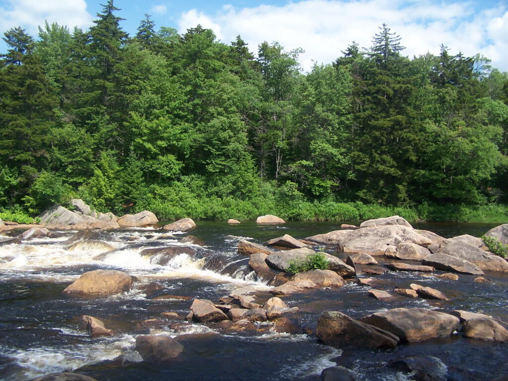
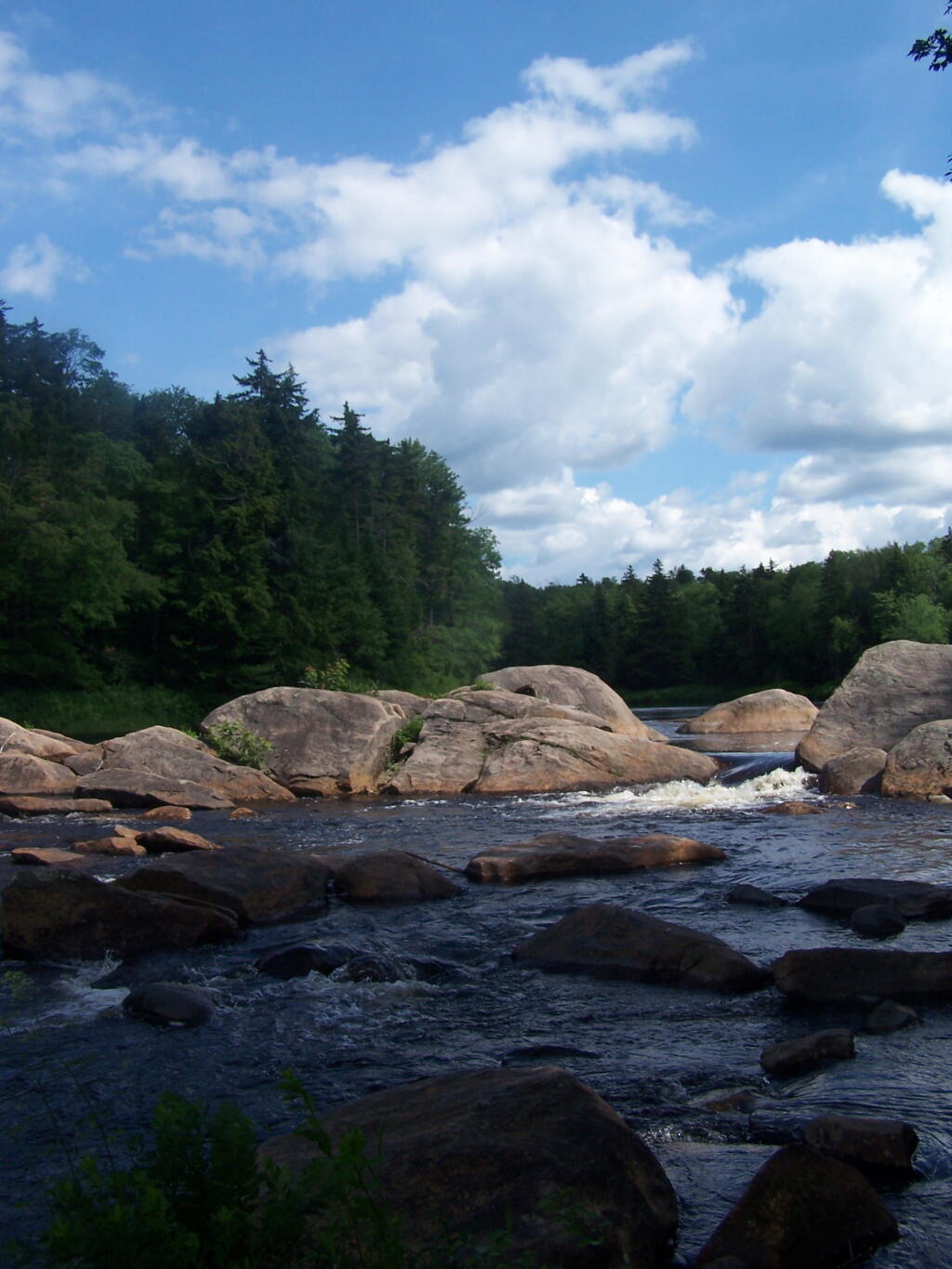
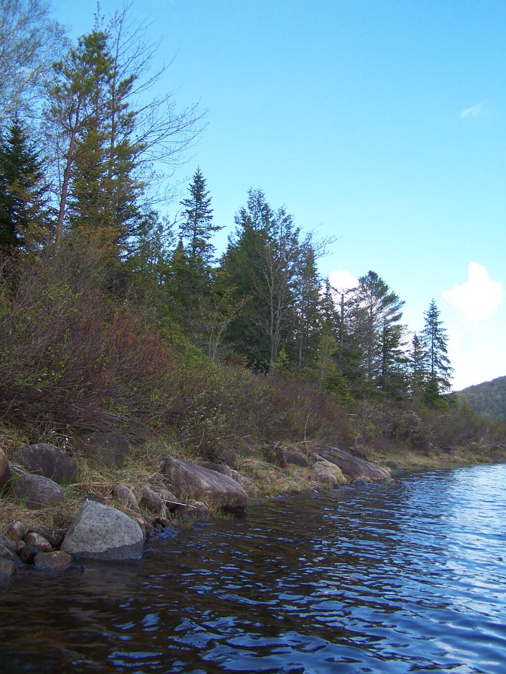
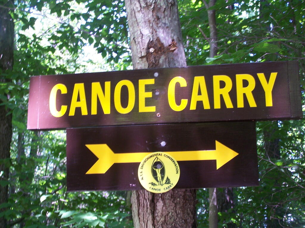
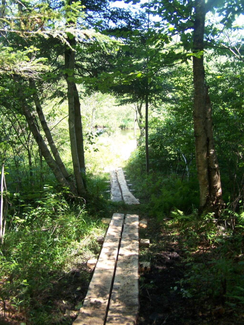
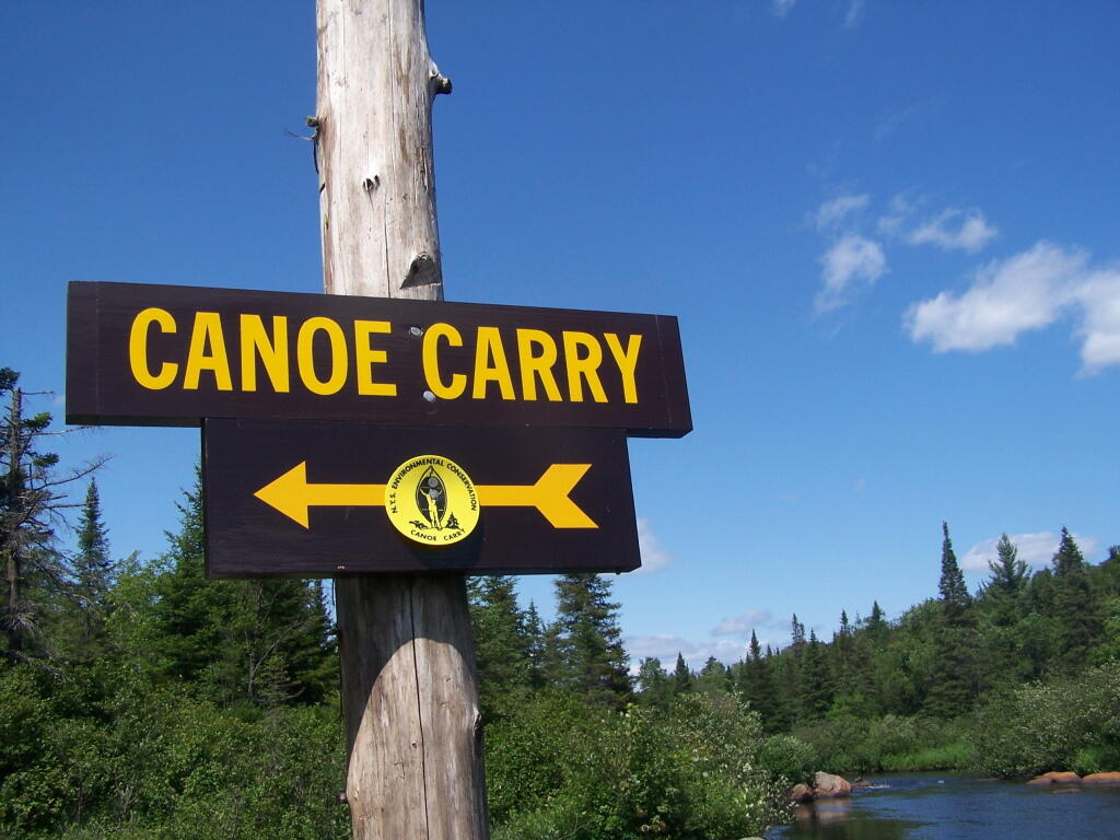
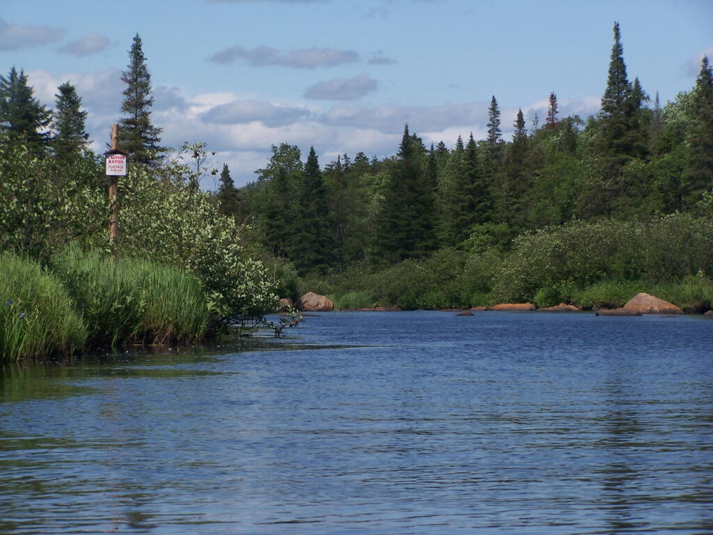
The Cedar River Flow is a popular lake for canoeing and kayaking. There are several designated and undesignated campsites along Cedar River Flow, with the designated ones shown on the map. There are also a handful of campsites, closely grouped together at Wakely Dam. The Cedar River is navigable for several miles upstream, and some people will paddle to the Lean-To on Sucker Brook Trail.
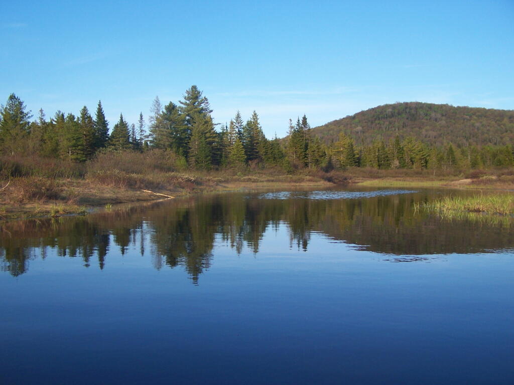
Wakely Pond and Wakely Dam Areas.
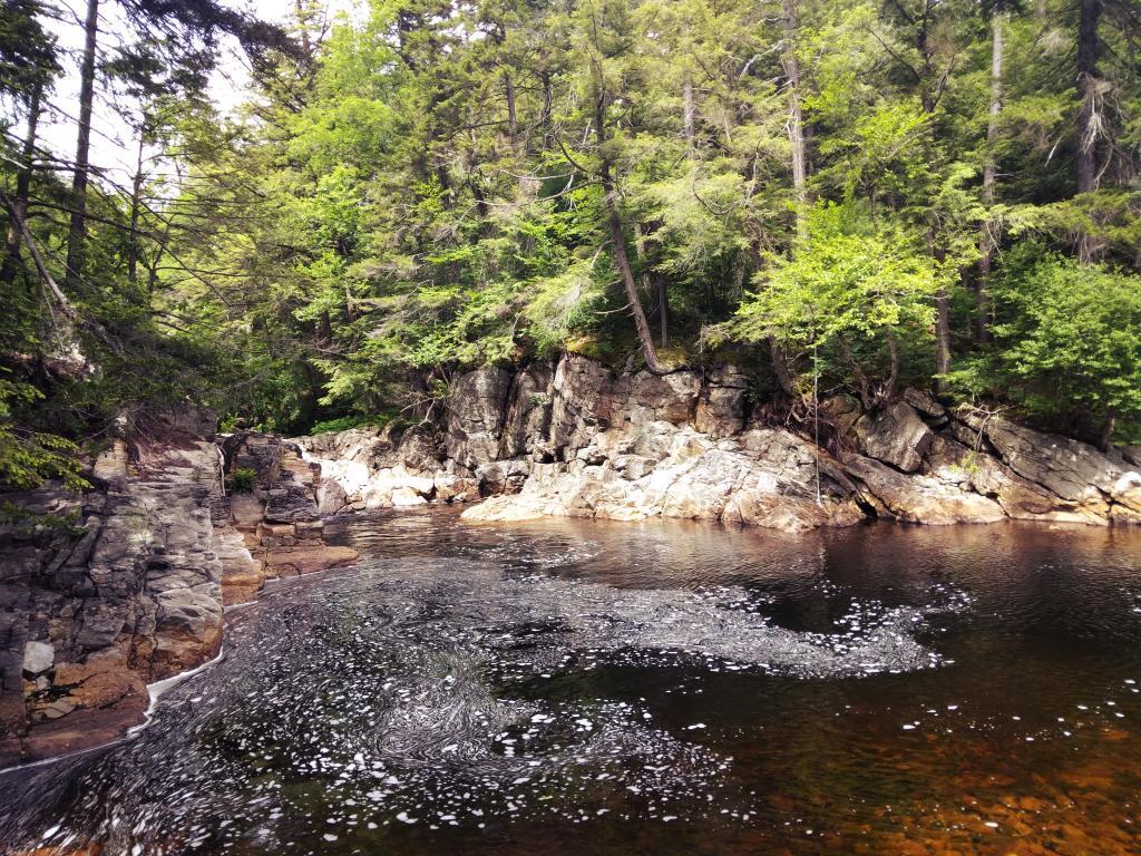
Along the Northville-Placid Trail near Wakely Pond there are several designated tent campsites. A map of Wakely Pond-Wakely Dam Areas, and the rapids downstream of the Cedar River Flow.
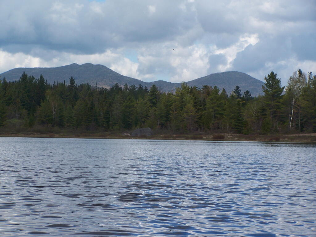
Wakely Mountain Firetower.
By far one of the most popular destinations in the area is the Wakely Mountain Fire Tower. It offers truly spectular views of Moose River Plains, Blue Ridge Wilderness, West Canada Wilderness, Fulton Chain of Lakes, and even the High Peaks.
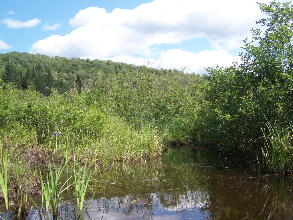
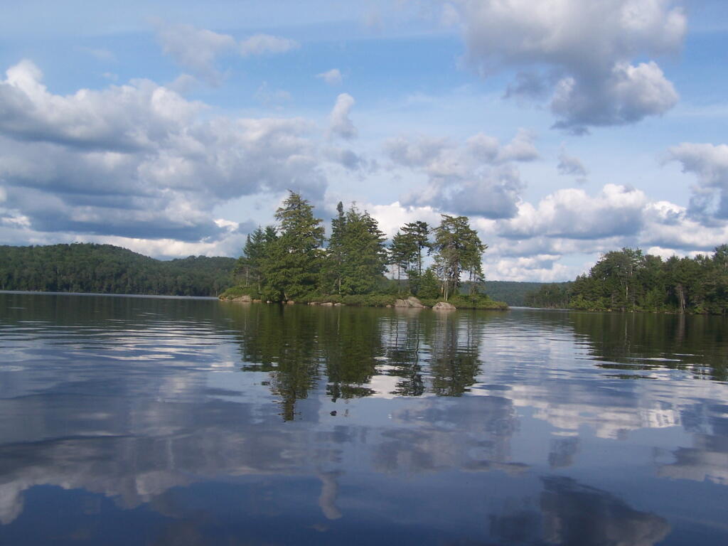
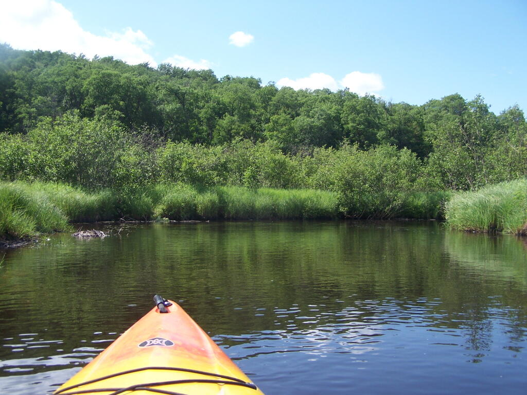
The Little River offers some interesting kayaking opportunities, and can be part of a roadside camping experience at Streeter Lake in Aldrich. Here is a map, you can click to expand and print up.
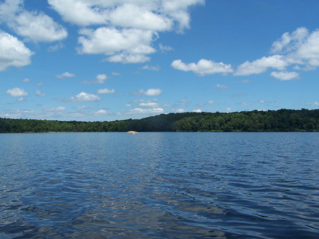
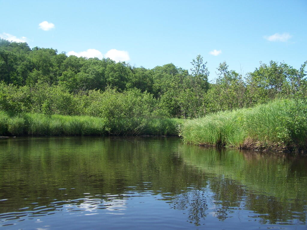
Near Number 4 is Francis Lake on Stillwater Road. It’s not the world’s largest lake, but it does offer some interesting kayaking with good views, as you paddle around this lake. There are some private inholdings along the lake, but most of the lake is pretty wild.
Click above to download the high resolution version of map for printing…
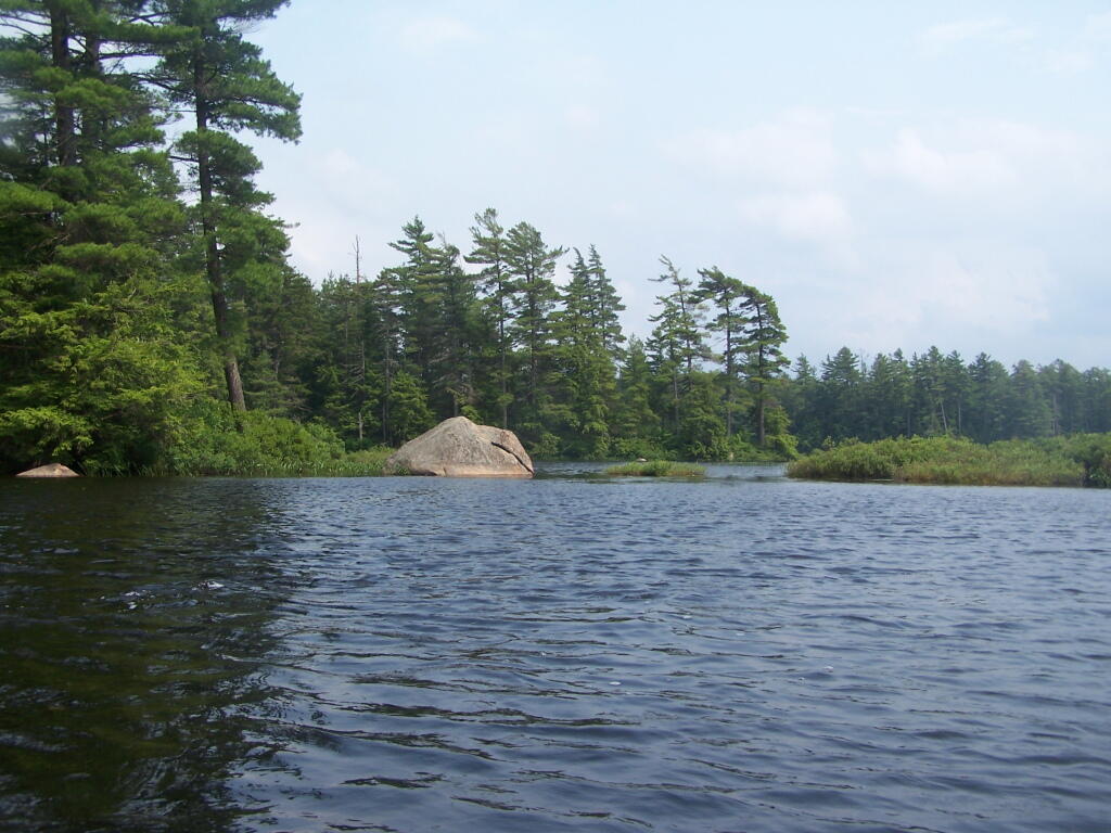
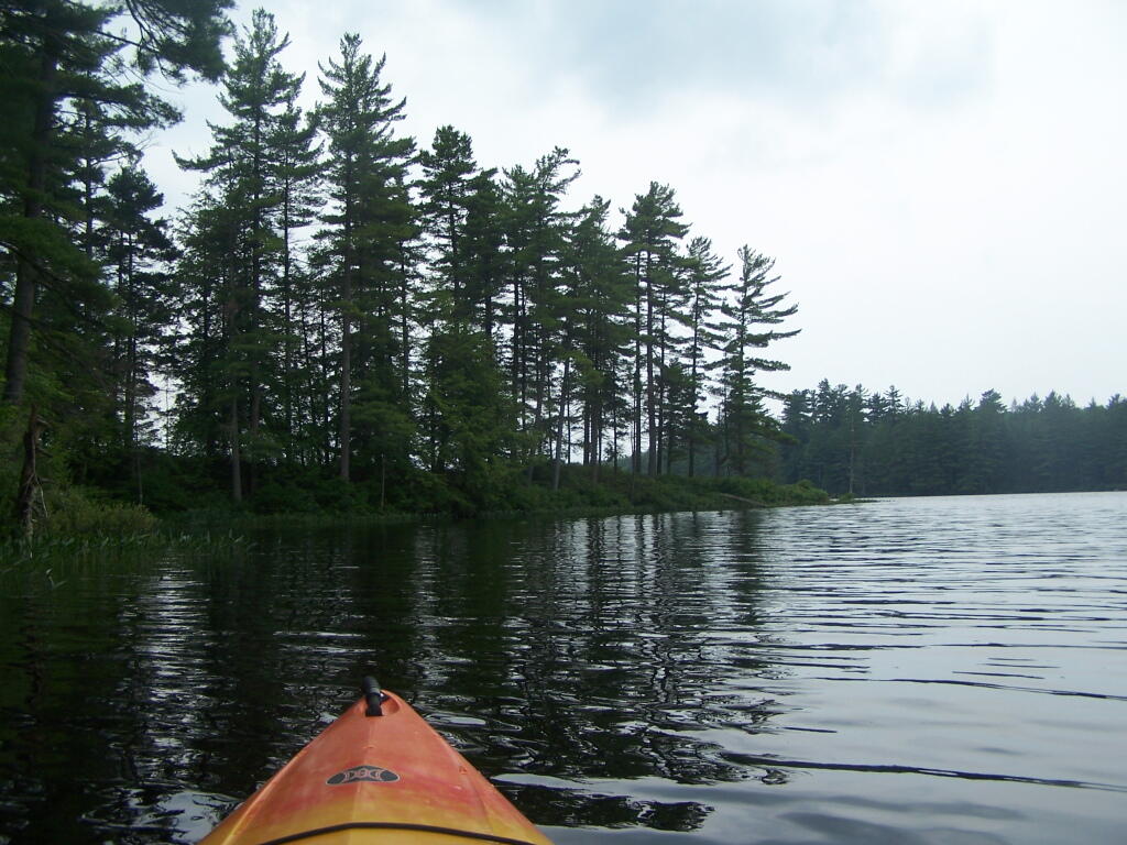
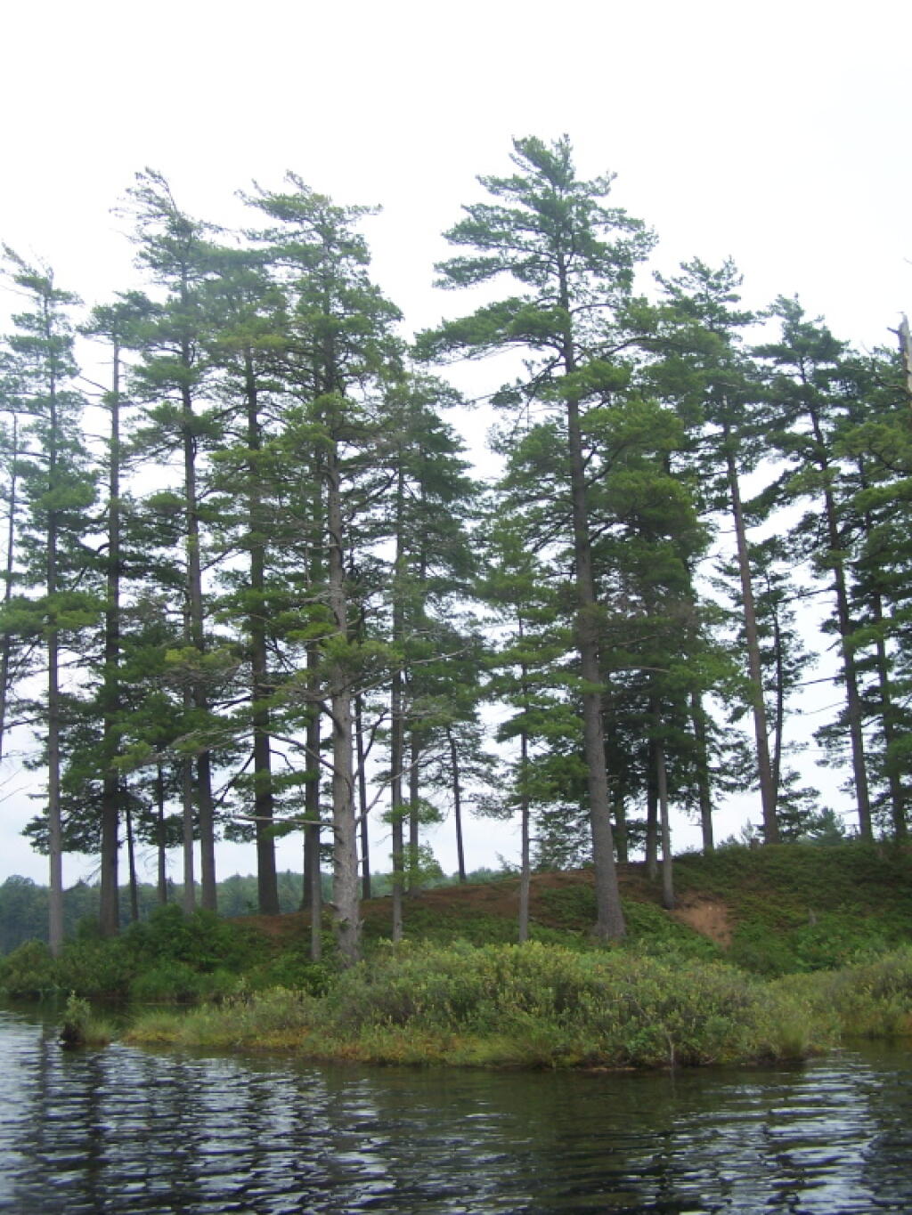
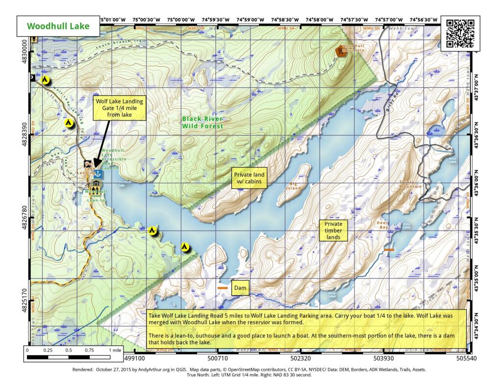
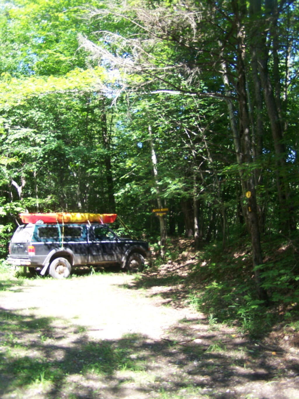
To get to Woodhull Lake, you have to take McKeever Road from NY 28 in McKeever (1/2 mile before it crosses the Moose River, then drive back about 6 miles on a dirt truck trail known as Wolf Lake Landing Road. You put in at Wolf Lakes Landing, which is named after one of the lakes that Woodhull Lake covered when it was dammed up to form a larger lake to provide water supply to the Erie Canal.
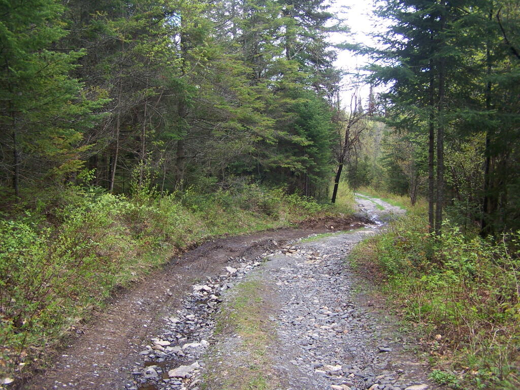
While the road is fairly well maintained one-lane gravel truck trail, one creek crossing is a bit eroded from the rains of 2011. There are roughly 6 designated roadside campsites along the road, with minimal to no facilities that you can camp at. You can drive all but an 1/8th of a mile up to Woodhull Lake, where the road is gated off, from there you have to carry your kayak or canoe to the lake on the gravel road. Consider using wheels on your kayak to assist on this portage.
Here is a map of Woodhull Lake. Consider clicking on it, for a high-resolution map that you can print up, put in a plastic bag and use on the trip like I did. It works really well like this, and I think this map prints out to be nice and high resolution, especially if you have a color printer.
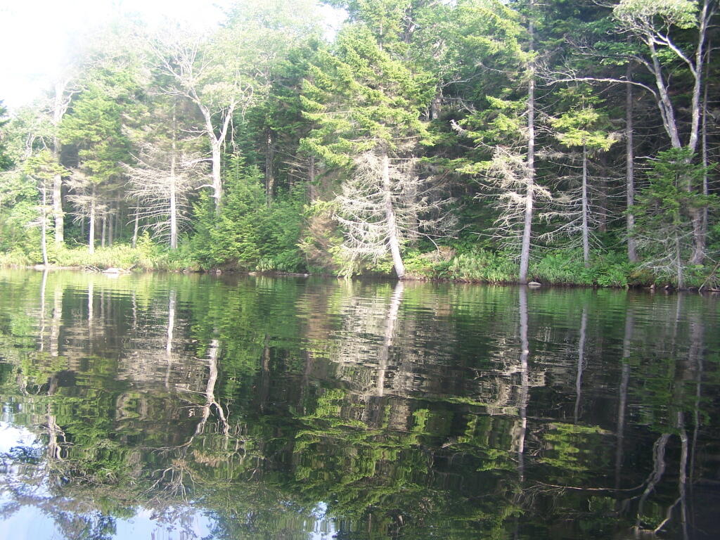
Cheney Pond Road is a dirt road off of Boreas Road, about 15 miles east of Newcomb. It is a rough road, with the pass year’s washouts, don’t try it without a truck. It will take you a rather pretty lake and damed up river you can paddle around.
Here is a printable map you can click to see full size then download.
And now down as Cheney Pond…
If you want to spend the night, you can roadside camp at a site with a picnic table and outhouse, tent camp at an “informal” campsite with a fire pit near the lean-to or camp in the lean-to. None of the campsites at Vanderwhacker Wild Forest have “Camp Here Disks”.


![Untitled [Expires December 16 2024]](https://andyarthur.org//data/photo_008174_large.jpg)