Several years back, the D&H Railroad abandoned the Slingerlands Railroad, that runs from the Port of Albany out to Altamont. This route had fallen out of favor for main freight line that runs from the Selkirk Railyard, north through Altamont.
I wasn’t a supporter of the rail trail, as I believe it will be an impediment in the future to preserve the right-of-away, for whatever future needs might come along — be it a bus rapid transit, a new rail line, or some future method of moving people and freight
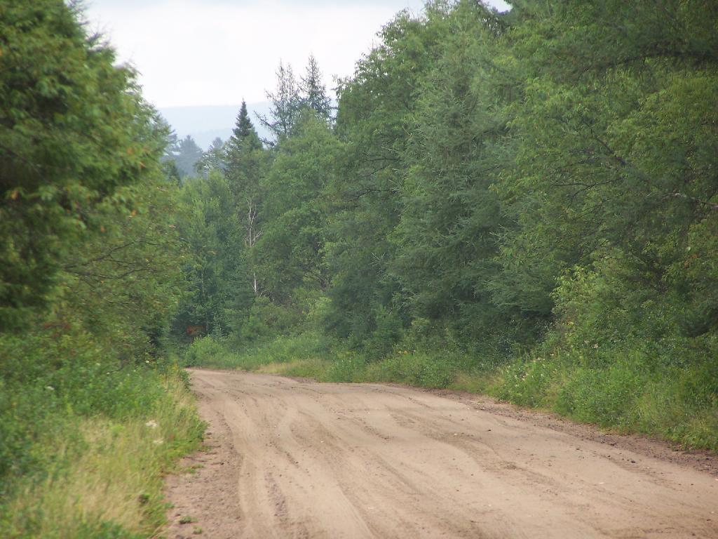
I also maintain that rail trails are boring, overly straight routes, built for the convience of large locomotives pulling freight at high speeds, and not for recreational hiking or biking, at much lower speeds. Being that one can only bike or walk at speeds less then 25 MPH — and that bicycles aren’t even allowed yet — the trail seems relatively uninteresting at a walking speed.
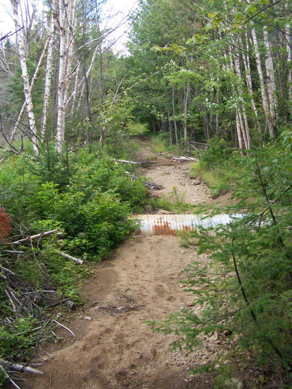
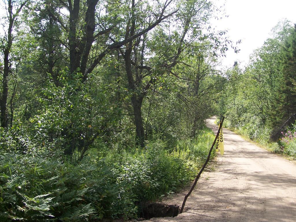
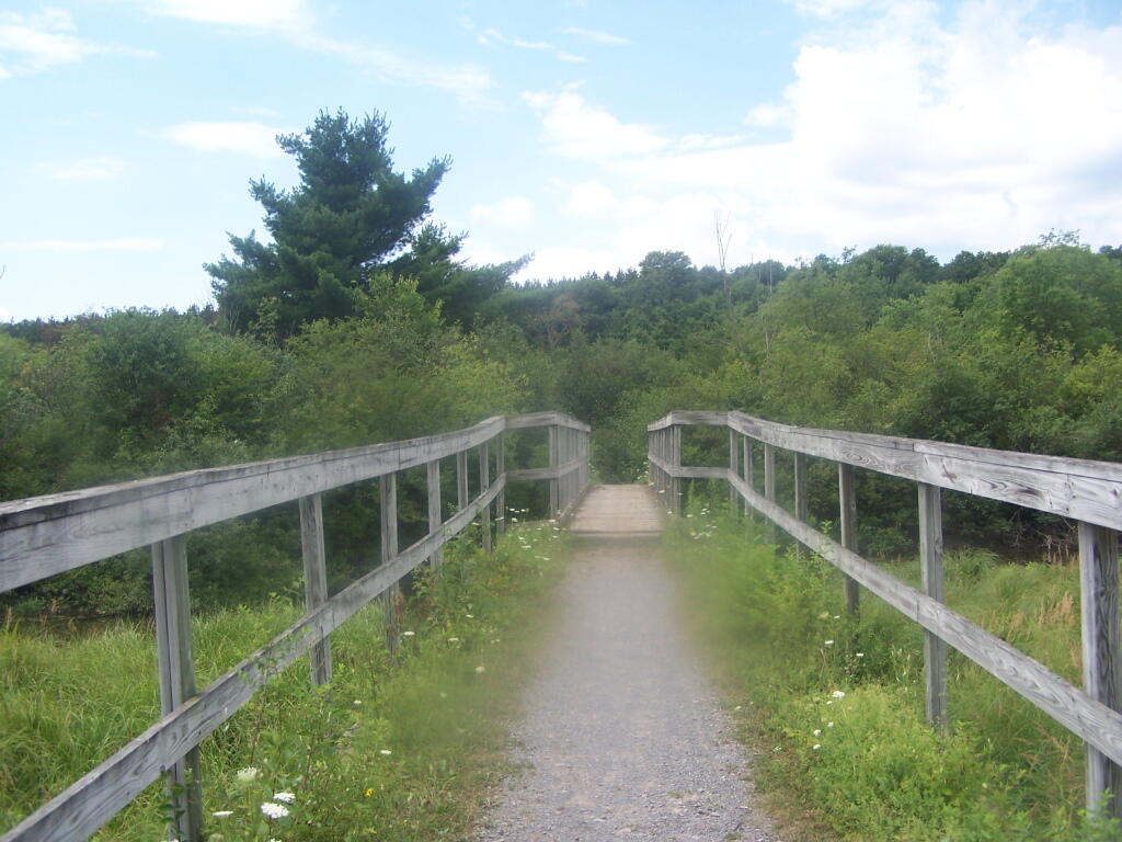
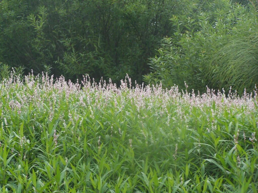
Currently the rail trail runs from Slingerlands Fire Station down to the Delaware Avenue Bridge. West of Slingerlands Fire Station, the trail is posted No Tresspassing by the county, but east of Delaware Avenue Bridge, the trail is unmaintained but not posted.
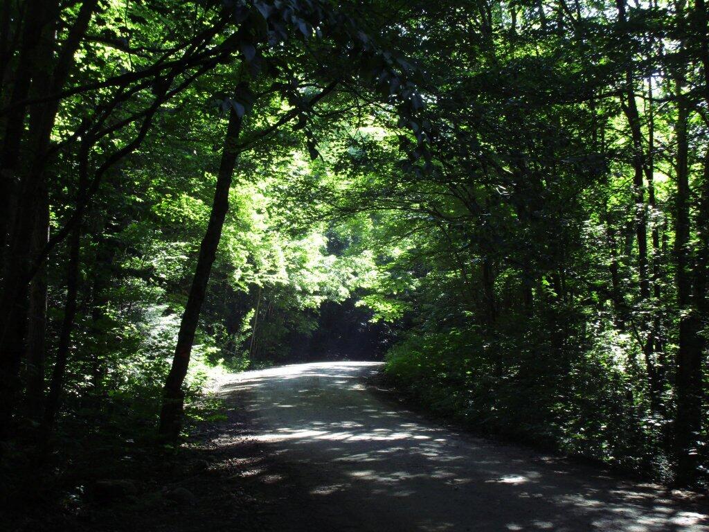
Hiking under the Cherry Avenue Extension Bridge.
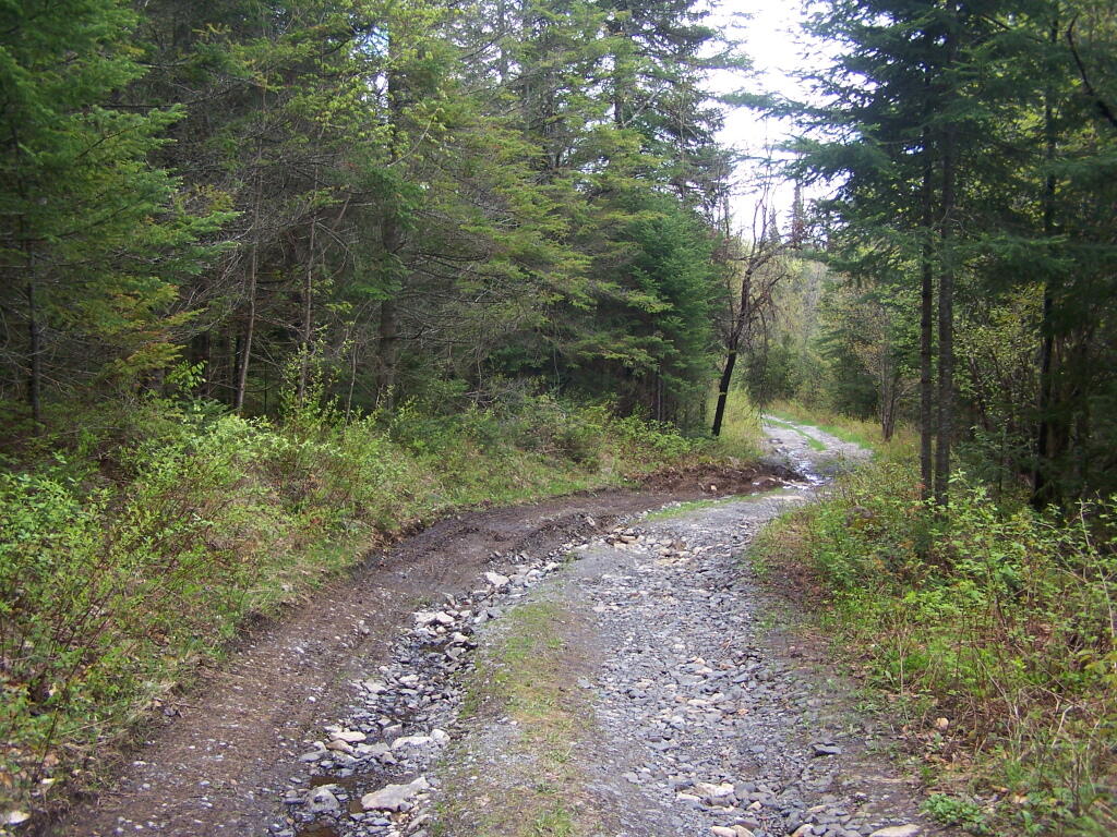
One of the filled in areas where the rail line once run.
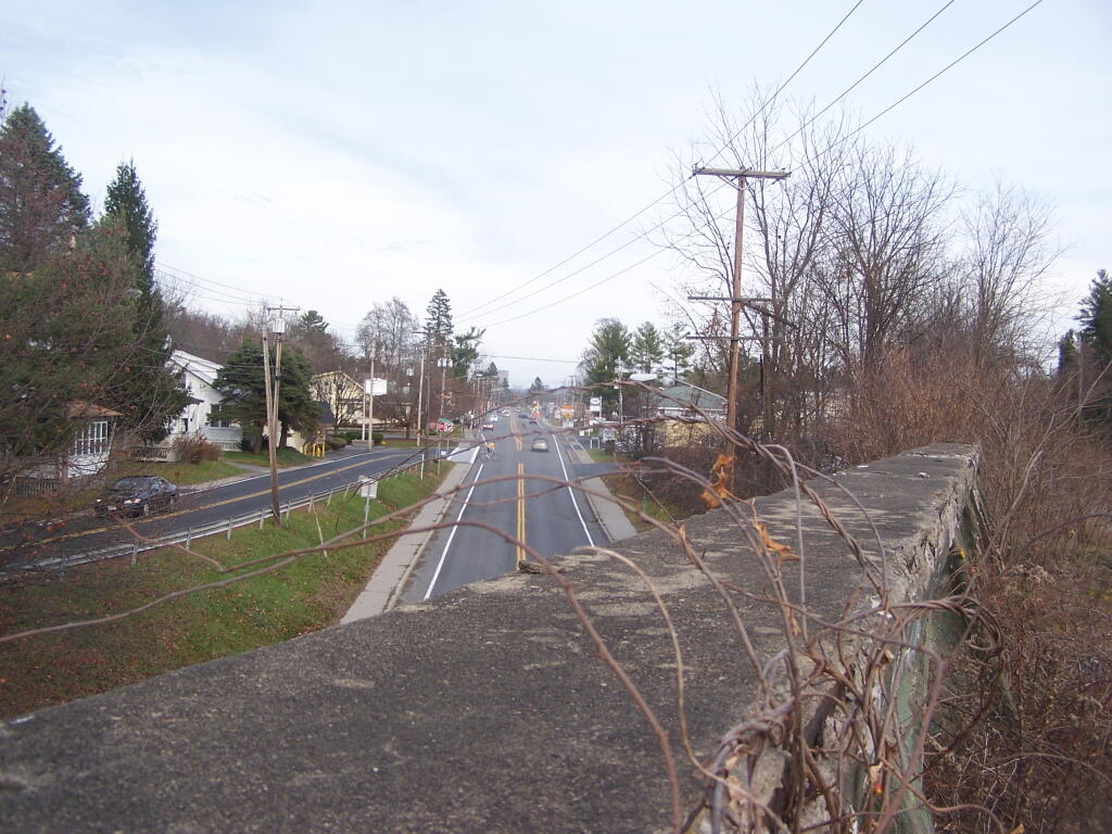
Gully as seen from the rail trail viaduct.
Delaware Avenue as seen from the former Delaware Avenue Railroad Bridge (this ends the maintained section of the trail).
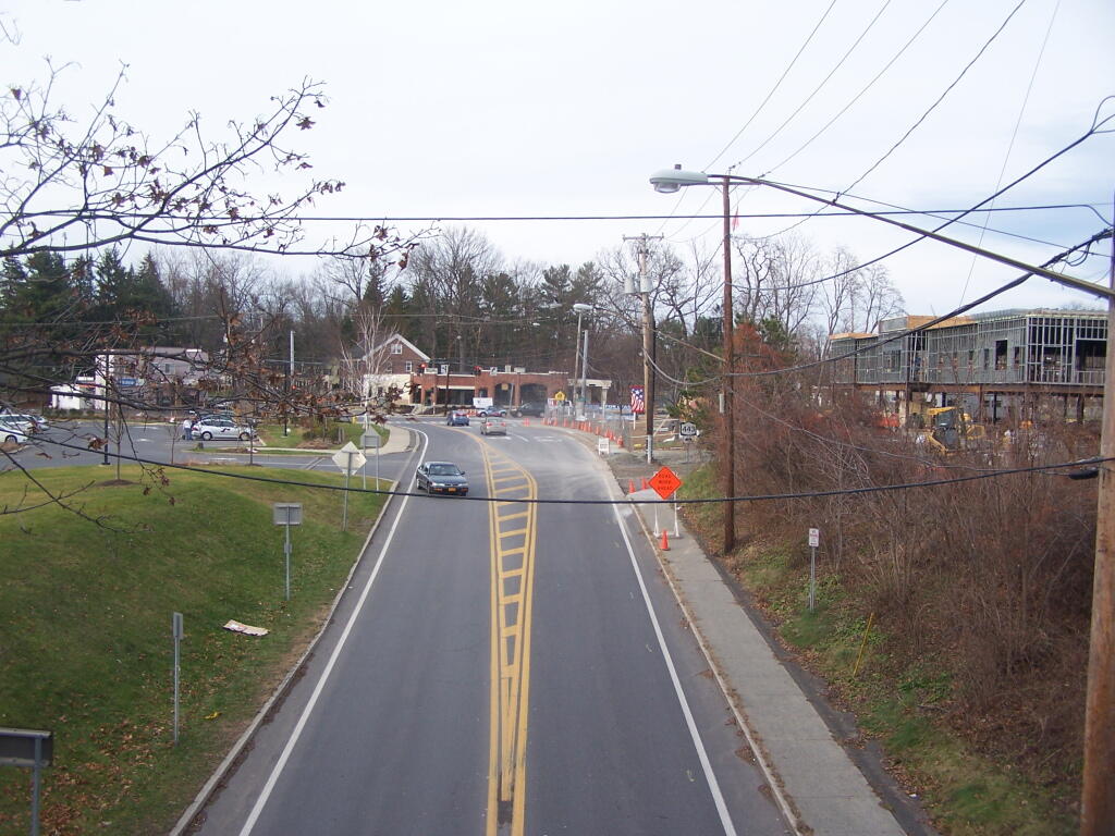
Elsmere Avenue as seen from the Railroad Bridge.
As a whole, I am very under impressed by the Albany County Rail Trail. I have heard the views
Like thousands of New Yorkers this past year I have been seriously bummed out on how Cedar River-Limekiln Lake Road from Wakely Dam to Lost Ponds was washed out for the first three months of summer season. It probably was the first time Cedar River-Limekiln Lake Road was closed off for such a long period in summer time — due to springtime flooding and severe erosion and bridge scour — combined with a very tight budget for the Environmental Conservation Department.
It seems the list of damaged or still closed roads throughout the Adirondack Park is long this year. Haskell Road is closed. Lester Flow Road and Woodhull Lake Road are rough and badly eroded. Maybe it’s just a bad year, and DEC Division of Lands and Forests is unfunded, and they lack the staff and fuel budget to fix things promptly. Or maybe it’s a more ominous sign — that DEC needs to rethink it’s road construction practices to reflect a changing climate, with heavier rains and more erosion.
As the average temperatures increase in the summer, there is going to be more demand then ever before for recreational access to the Adirondack Park. Yet, the danger is not from increased vehicle traffic, but instead erosion and bridge scour from flooding and increased heavy rains. Simply said, it may come to the point where Adirondack Park back country roads need to be built to a higher standard, with more reinforcement from wash outs.
That does not mean the end to the dirt or gravel truck trail. It does mean, around streams there is going to have to be more riprap and other course rubble rock to prevent erosion and bridge scour. Courser gravel is going to have to be used on steeper slopes, or maybe a mixture of tar and gravel to keep things in place. While blacktop may seem like the anti-thesis to the back country, it might be necessary in limited stretches to keep things in place, on road surfaces most pounded by the forces of erosion.
All of this will escalate the cost of maintenance of back country roads. Yet, the cost of improving back country roads before future cases of erosion, will ultimately save money and improve the public’s experience. Repairing roads to a higher engineering standard makes a lot of sense as the Adirondacks experience increased flooding and erosion from climate change.
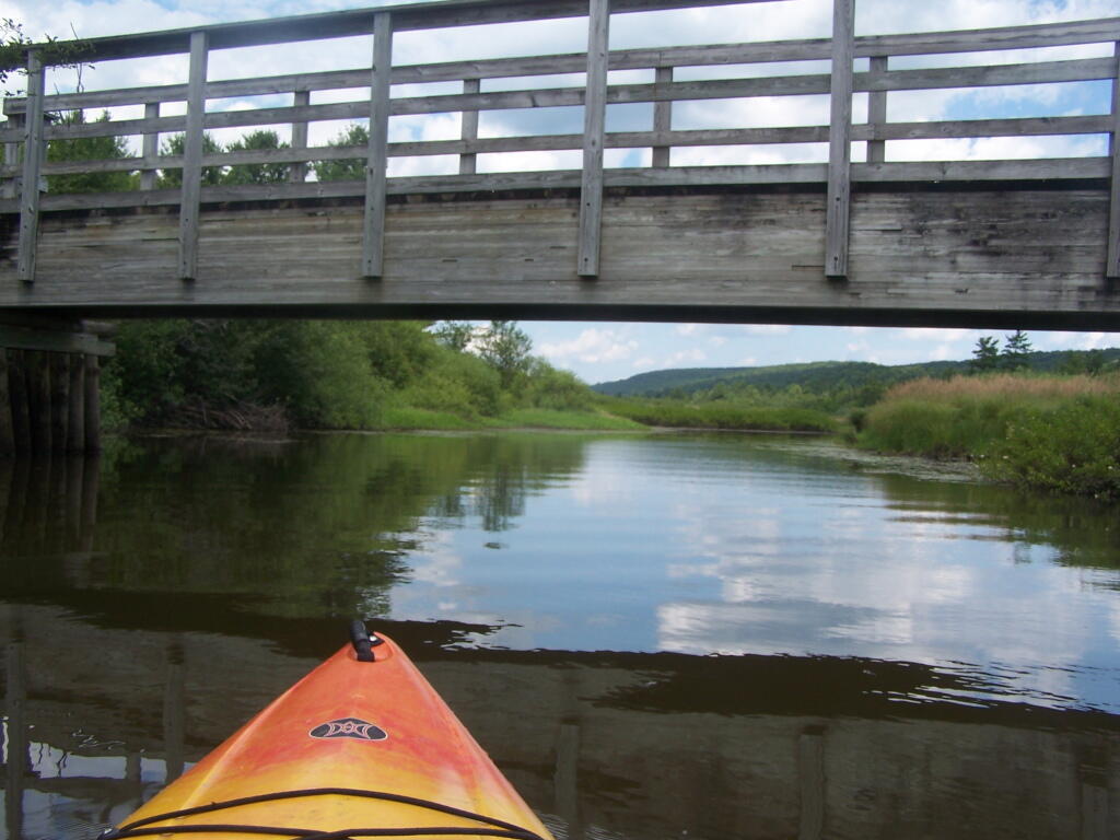
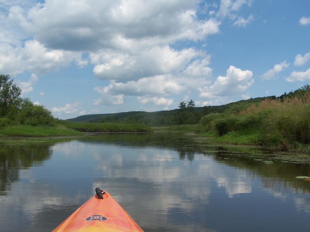
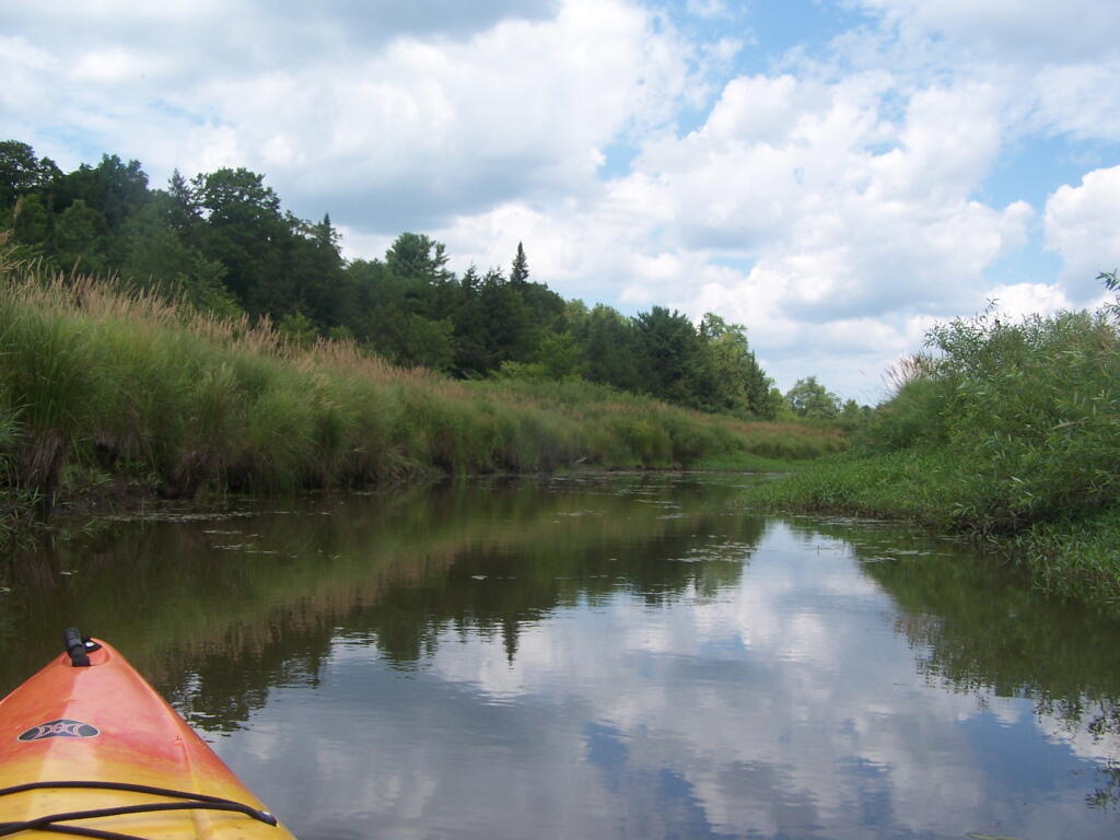
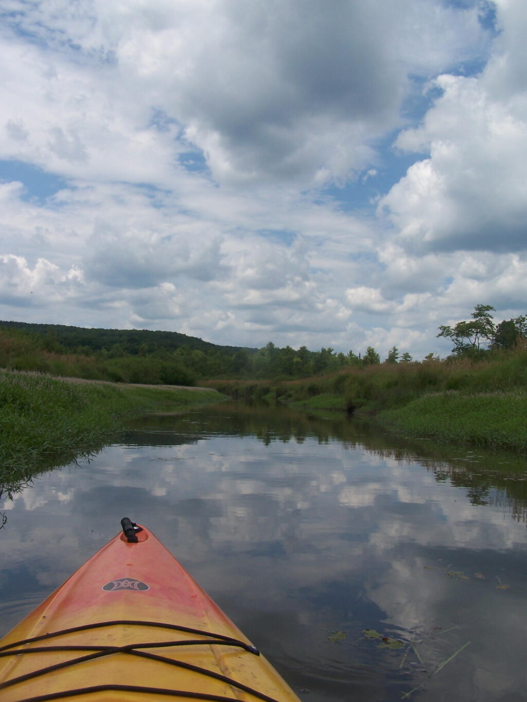
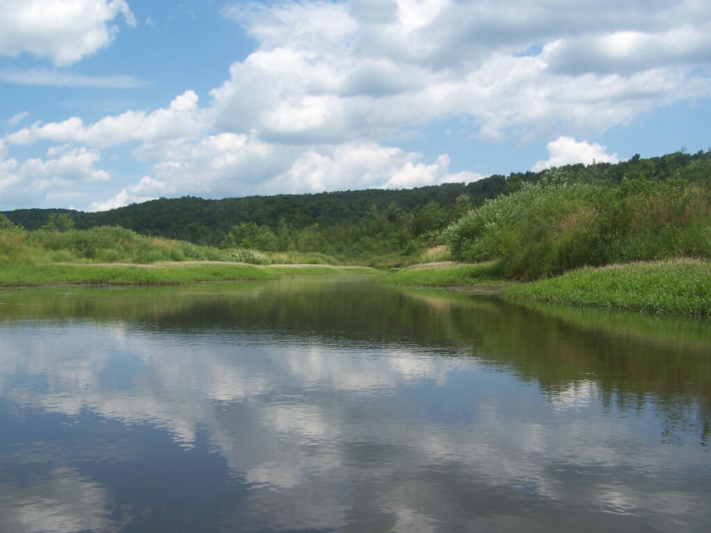
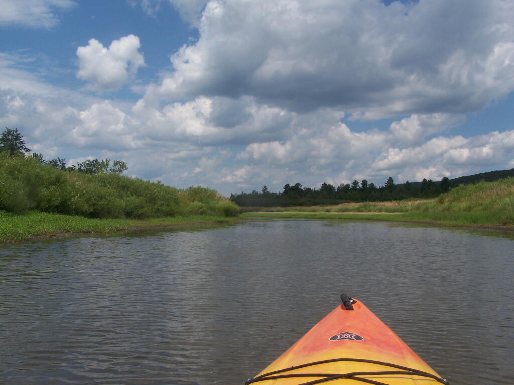
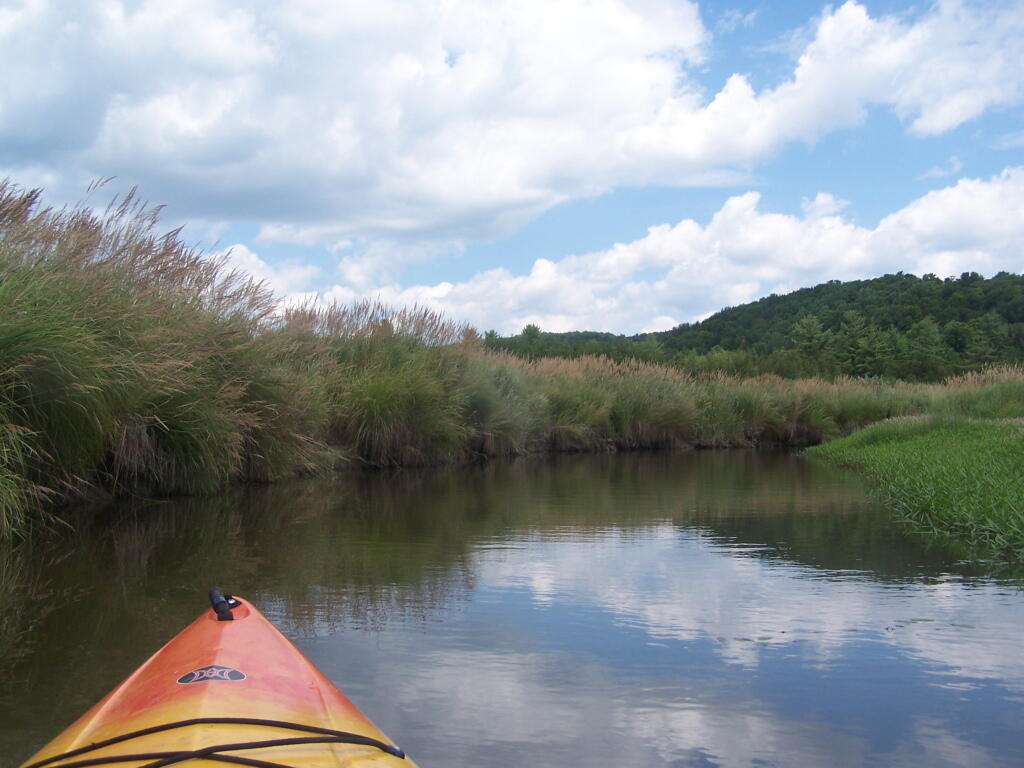
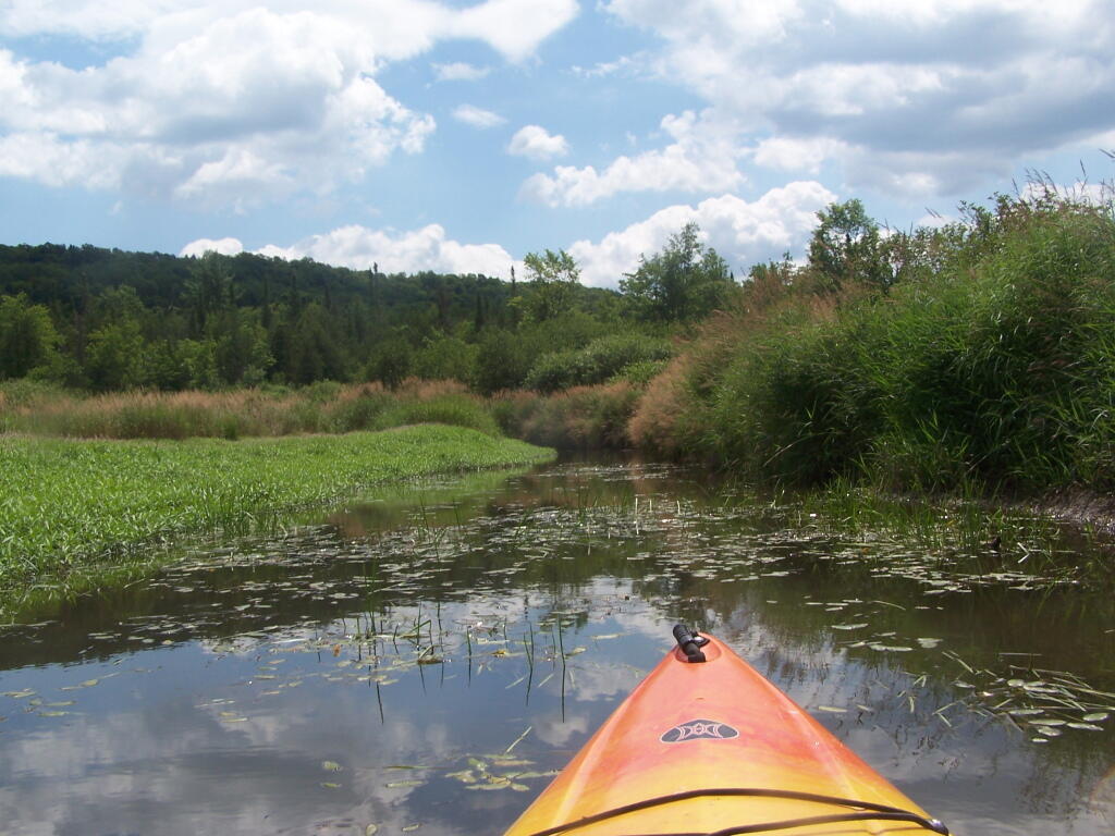
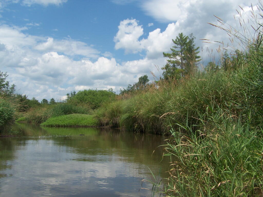
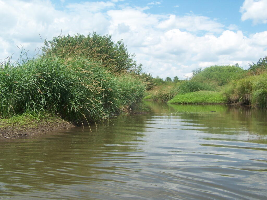
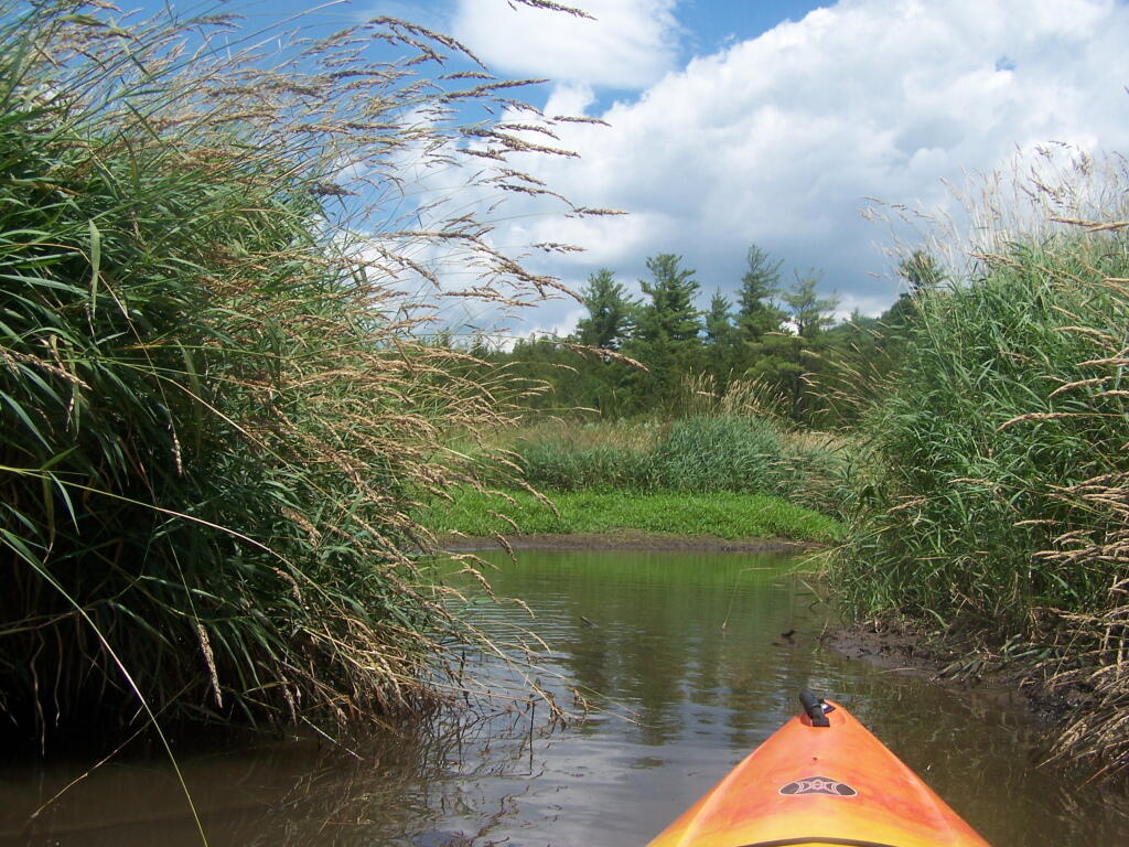
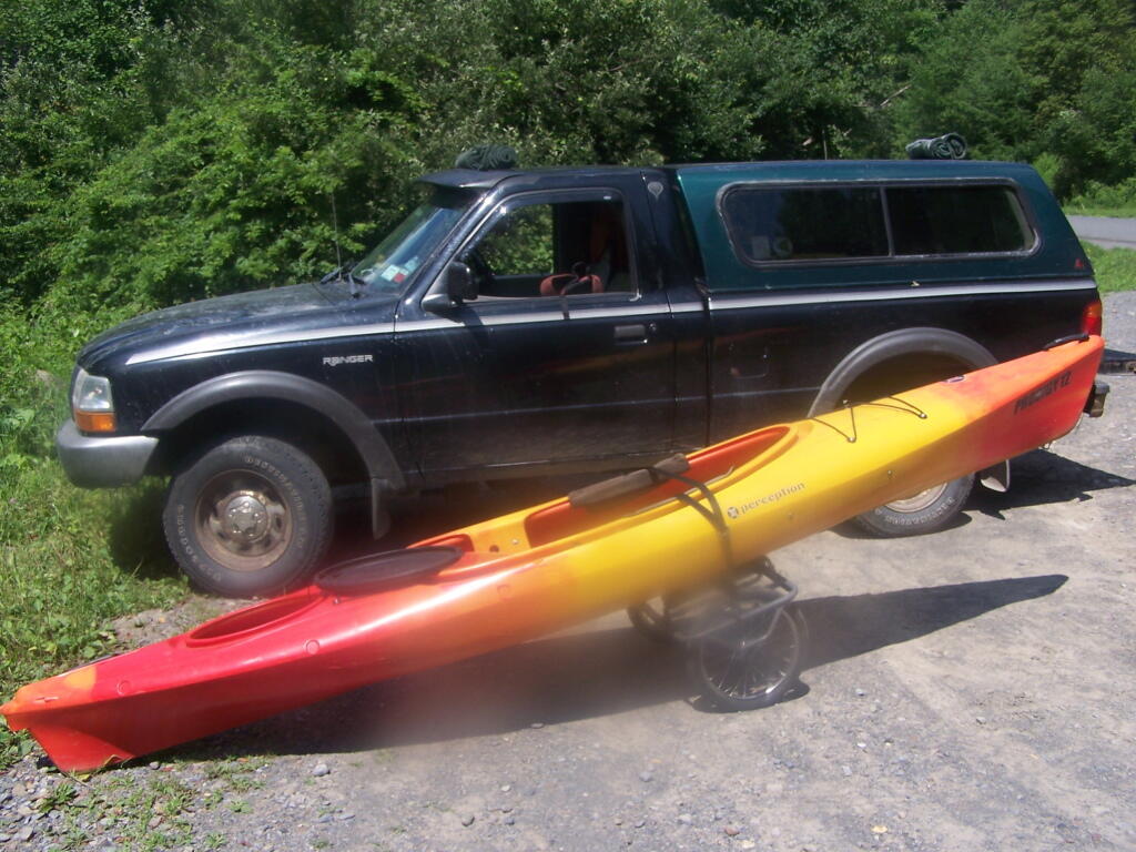
Where is a quiet place to kayak near Cedar Ridge and the Brookfield Horse Camp? Have you ever thought about kayaking the Beaver Creek, from Horse Trail 60 north until the end of the navigable waters?
You take Fairgrounds Road north from Brookfield NY, until a first parking area on the left of the road. This is Horse Trail 60. It’s a short portage (1/8 mile) until you reach the bridge crossing the Beaver Creek.
Put in the on the side of this bridge. I did from the east side, through the marshy ground, but you could portage over the horse bridge, then put on the west side, and avoid the marshy ground.
Having a good set of wheels means you won’t have to carry your kayak, but make sure not to drag it on the gravel to avoid wearing holes in your kayak, as I learned earlier this summer.
This is a delightful little trip. Do drive the Charles Baker Auto tour, or hike some of the many trails in the area…
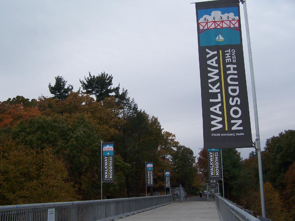
On a rather cloudy day that I had taken off from work last week, I decided to drive down to the Walkway Over the Hudson. I got down there around 9:30 PM, on a cloudy Wednesday, and the parking lot only had one parking spot left on the Pougkeepsie side. It is accessible from the Poughkeepsie side via taking US Route 9 North from Pougkeepsie then turning onto NY Route 9G south. Alternatively, you can access it from Haviland Road in Highland.
The newly extended bike trail leads directly to the Walkway from the rather large Poughkeepsie parking lot. If you can’t find space in the lot, there is plenty of space on nearby city streets.
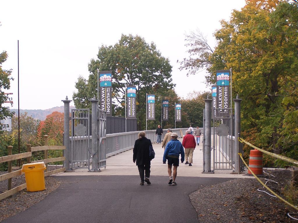
Big crowds of people entering the Walkway.
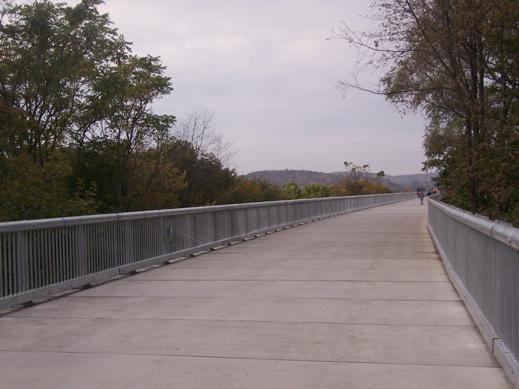
At 28-feet wide and nearly two miles long, it’s pretty big and wide. Despite probably several hundred folks on the bridge, it doesn’t feel at claustrophobic or tight.
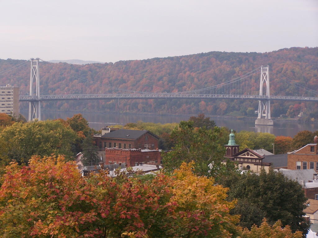
Looking across Poughkeepsie at the Mid-Hudson Vehicle/Pedestrian bridge.
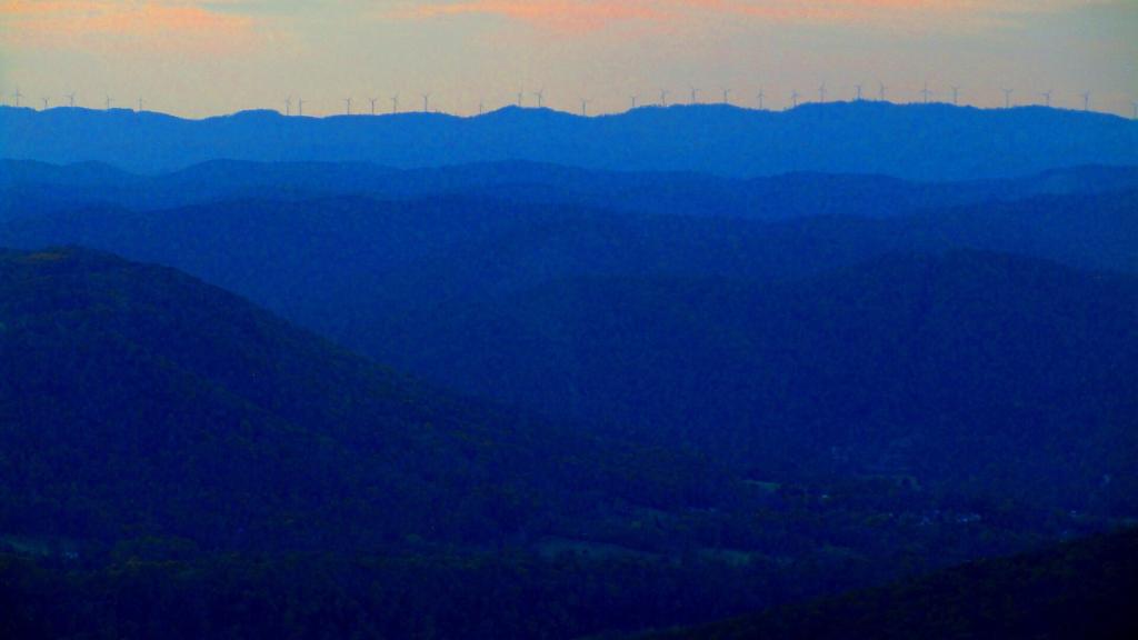
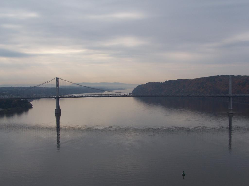
From the center of the bridge looking directly south.
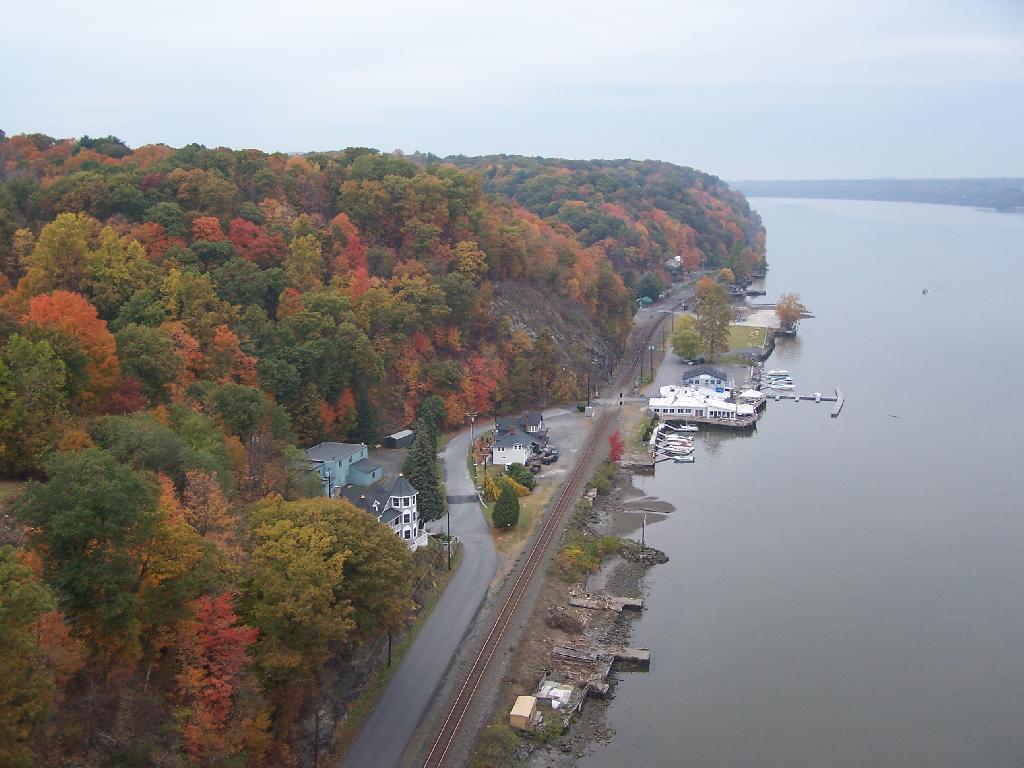
North along the Highland side of the Hudson River.
All and all it is a beautiful walk across the bridge. If you plan on taking some pictures, and want to walk from one side of the bridge to another, you should figure about two hours of time. More at walkway.org.
![Untitled [Expires March 8 2025]](https://andyarthur.org//data/photo_010084_large.jpg)