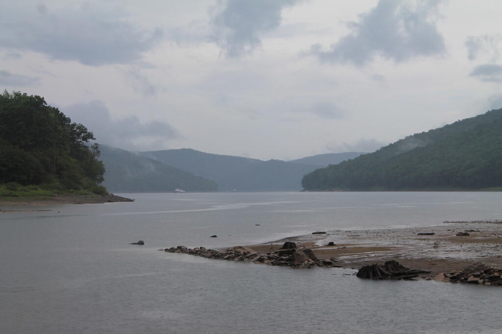
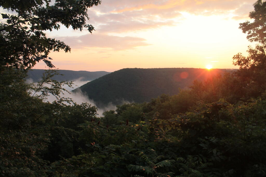
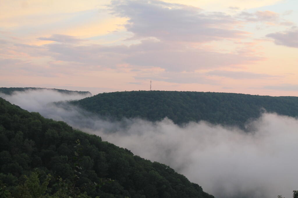
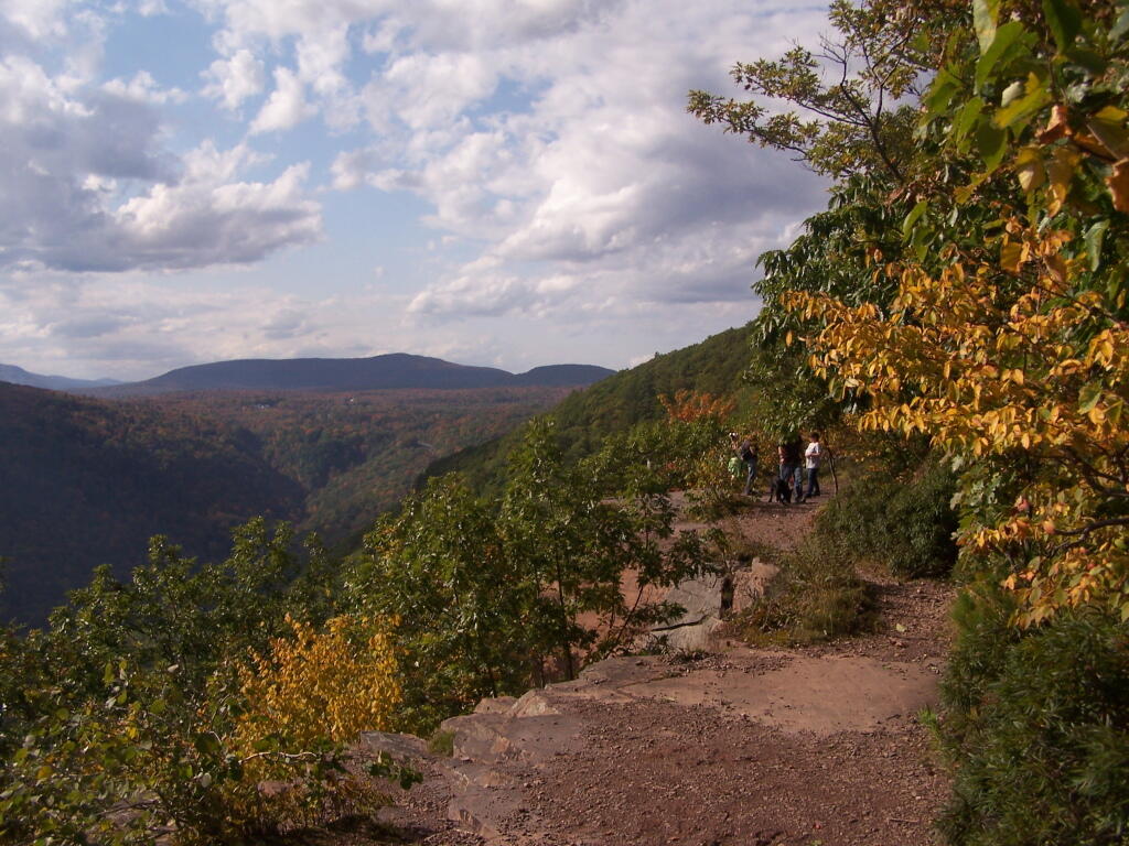
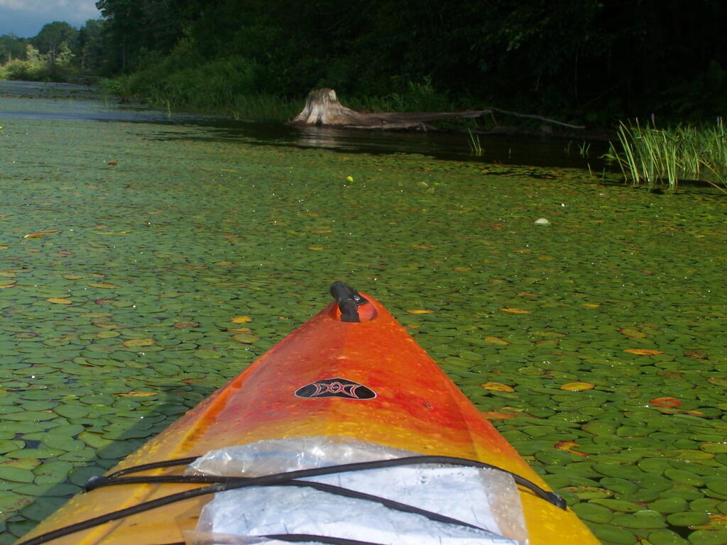
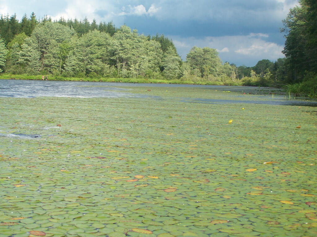
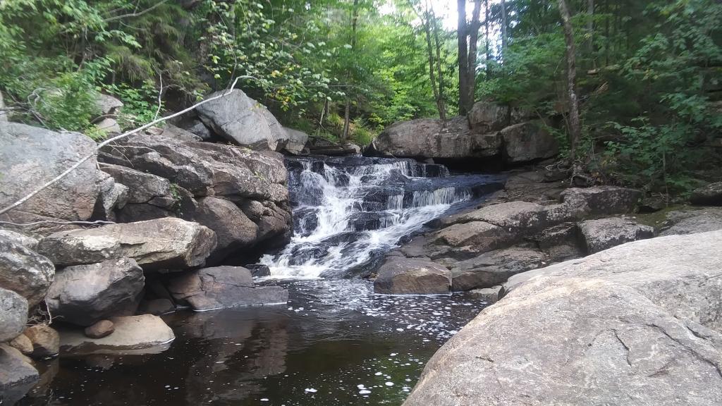
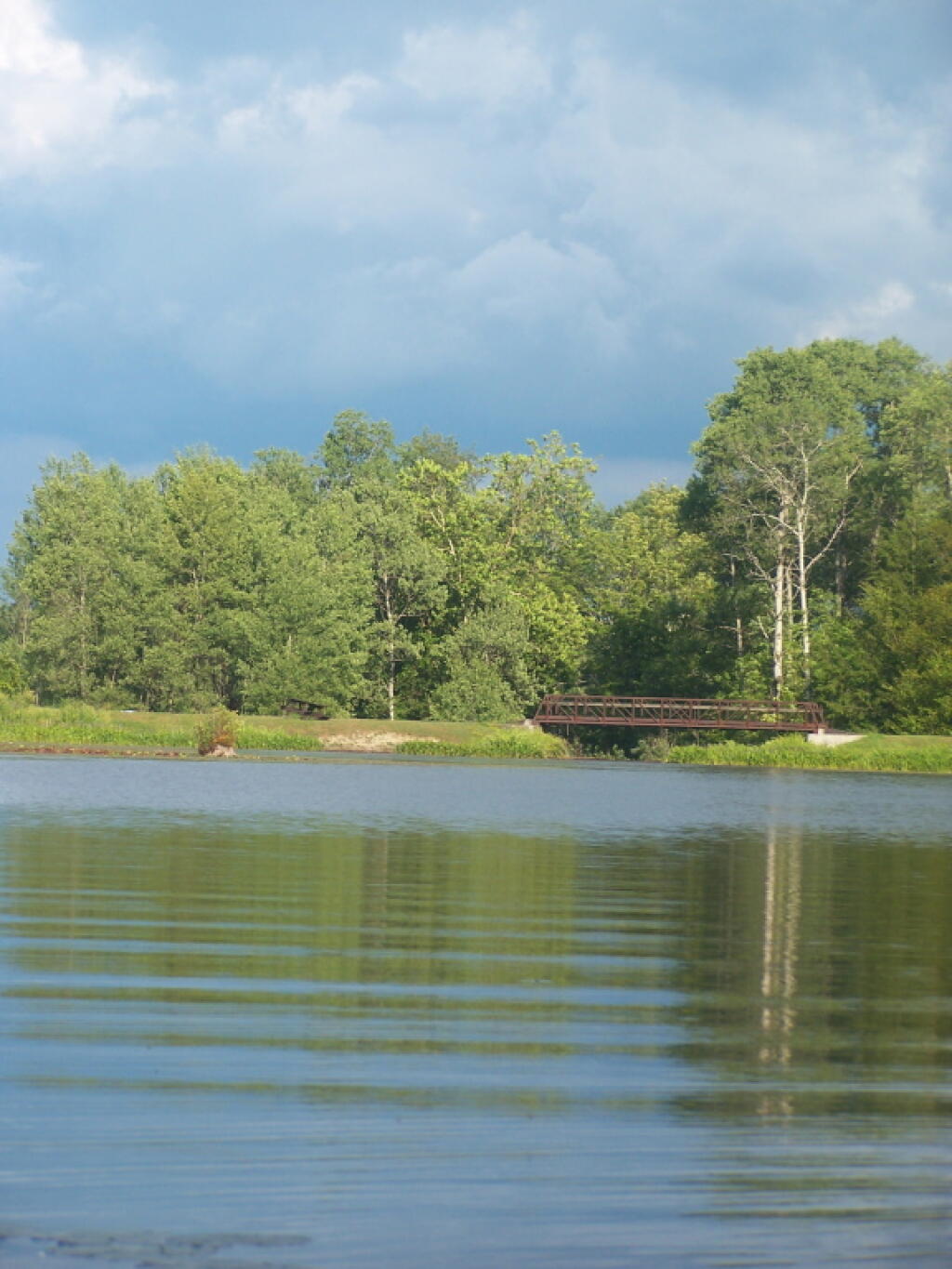
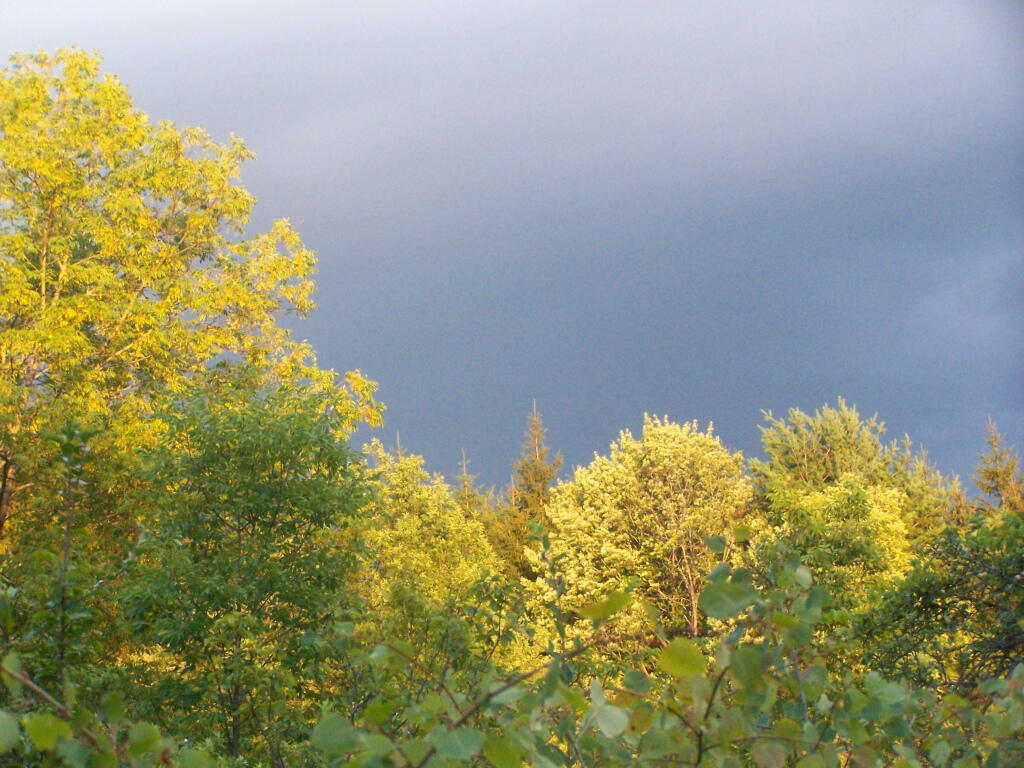
I really like Northwest Pennsylvania. It’s so wild and different then anything in New York State, without all of the restrictions applied on the land and people of a liberal state like New York. All things rugged and back country are vastly different then in Albany.
Time seemed unlimited on vacation. Eight days and nights sure seemed like a long time. Every morning lighting the cook stove, cooking up breakfast on styrofoam plates, packing up the gear, tearing down camp, and heading out for the day, exploring truck trails and wild landscapes. Set up campsite, turn on Christmas lights, build a campfire, and burn the day’s garbage, while listening to country music with my cowboy hat on.
In contrast, the land of work is vastly different. It’s setting an alarm clock, getting up, making breakfast on an electric stove, and catching the bus to work, and sitting in an office all day. Then come home, cook dinner, wash dishes, and sort the trash for recycling. Walk down to the park or the library. No opporunties to burn anything.
Man cities, and my urban reality in the state that best represents liberal statism, sucks.
In eight days, I managed to burn through 86.8 gallons, travel 1490 miles, and got 17.0 MPG. Those truck trails sure make Big Red burn a lot of gas. And I sure need the $310 to cover the cost of gas, plus the other $90 for beer, food, and supplies. Hell, even the styrofoam plates and paper towels aren’t free.
I also realize that I won’t be up for such an adventure for quite a while. It’s a mix of money and just getting the time off, but the reality is I probably won’t be back in Pennsylvania for a while. Somehow, trips to Adirondacks don’t seem so far or exciting, as Northwest Pennsylvania.
After looking forward to this trip, all that is left is some pictures, burn out tin cans for recycling, and the hang-over made up of memories.
Doing GIS Mapping has become quite the hobby of mine. Especially when it comes to generating maps of public lands, I am endlessly fascinated by exploring the lands that we, the public own.
Rendering maps is mostly about loading layers, and zooming in. Yet, the effort to put together a map teaches you a little bit about the land you are rendering and its features. Mapping can teach you about a land where you have never been before, and prepare you and interest you in a future trip.there. Mapping requires you to pay attention to the landscape, correcting invalid data, and trying to create the best possible presentation of the landscape’s natural and man-made features.
Even when you’ve never been on a piece of land, making a map can teach you much about the landscape and how it’s laid out. A map can tell you many details both by the features on the map and the implied features that you calcuate based on the relation of one land form to another piece of land.
A map makes it possible to better understand a piece of land, without ever putting a foot on it. While maps aren’t always accurate, and sometimes they can be confusing on an unfamiliar piece of land, they do provide context. Maps are a great source of exploring the unknown and unfamiliar.
All figures are in acres except where noted. Table updated April 2011. Reprinted from the DEC Website.
Land Classification
Region
1
Region
2
Region
3
Region
4
Region
5
Region
6
Region
7
Region
8
Region
9
Catskill
Park Total
Adirondack
Park Total
State
Total
Percent of Total
State Land and
Conservation
Easements
State Forest
16,056
758
31,763
102,248
58,354
221,924
200,419
55,581
99,121
–
16,264 **
786,224
17%
Forest
Preserve
Wilderness
–
–
89,352
53,482
954,601
206,151
–
–
–
142,834
1,160,752
1,303,586
28%
Wild Forest
–
–
75,588
60,368
938,664 **
367,123
–
–
–
135,956
1,305,787
1,441,743
31%
Primitive
–
–
–
–
31,309
15,704
–
–
–
–
47,013
47,013
1%
Primitive Bicycle
Corridor
–
–
15
283
–
–
–
–
–
298
–
298
0.006%
Canoe
–
–
–
–
18,989
–
–
–
–
–
18,989
18,989
0.4%
Intensive Use
–
–
4,104
1,542
21,591
1,828
–
–
–
5,646
23,419
29,065
0.6%
Administrative
–
–
392
0 ***
384
7
–
–
–
392
391
783
0.02%
Historic
–
–
–
–
531
–
–
–
–
–
531
531
0.01%
Pending
Classification
–
–
–
–
259
111
–
–
–
–
370
370
0.007%
Under Water*
(Unclassified)
–
–
–
–
17,395
6,534
–
–
–
–
23,929
23,929
0.5%
Detached
Parcel
–
–
1,382
4,141
1,441
4,318
–
–
–
–
–
11,282
0.2%
Total Forest Preserve
–
–
170,833
119,816
2,001,313
601,776
–
–
–
285,126
2,597,267
2,893,738
61%
Wildlife Management Area
6,007
–
12,021
18,518
6,524 **
46,371
49,562
41,462
17,178
407 ***
2,755 **
197,643
4%
Conservation Easement
108
21
7,264
7,286
488,463
336,783
436
–
10
9,437
769,579
840,371
18%
TOTALS:
22,171
779
221,881
247,868
2,554,654
1,206,854
250,417
97,043
116,309
294,970
3,385,865
4,717,976
100%
Notes from the DEC.
* Certain lake beds are considered Forest Preserve, despite some level of private ownership adjacent to the lakes. These underwater lands are not classified. For the purposes of this table, however, lakes and ponds that are completely surrounded by Forest Preserve have been classified the same as the adjacent land.
** Where State Forests and Wildlife Management Areas exist within the Adirondack Park, the Adirondack Park State Land Master Plan also classifies these lands as Wild Forest. However, since these lands are not Forest Preserve, State Forest and Wildlife Management Area acreages within the Adirondack Park were NOT included in the Wild Forest category.
*** Where Wildlife Management Areas exist within the Catskill Park, the Catskill Park State Land Master Plan also classifies these lands as Administrative. For calculation purposes in this table, however, Wildlife Management Area acreage within the Catskill Park was NOT also included in the Administrative category.
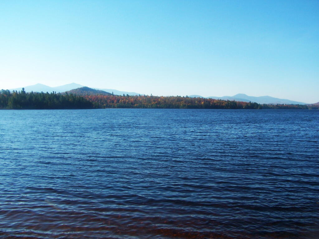
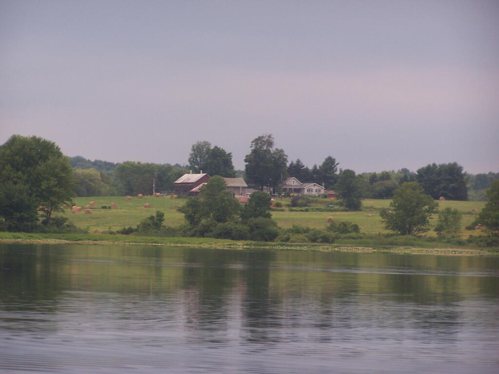
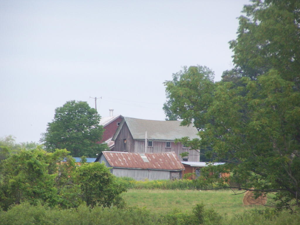
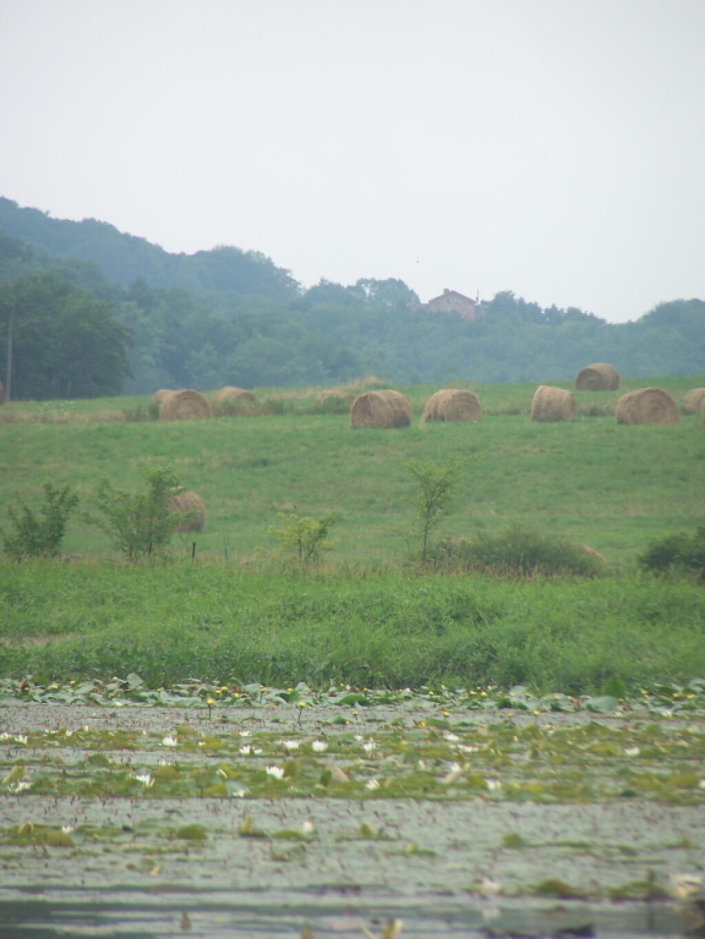
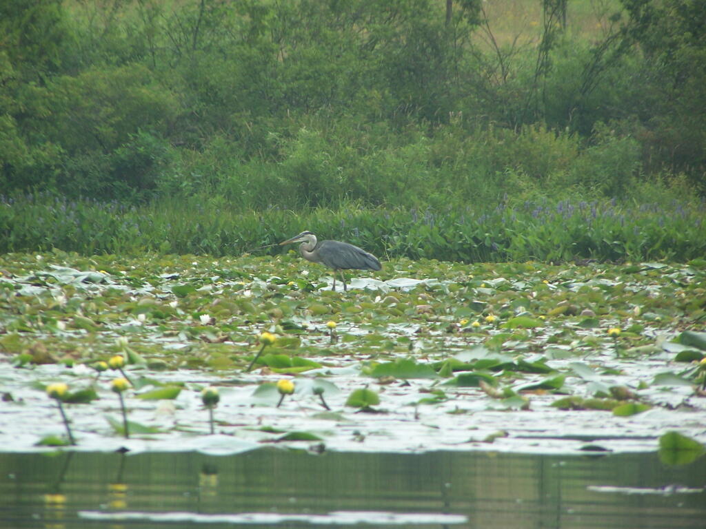
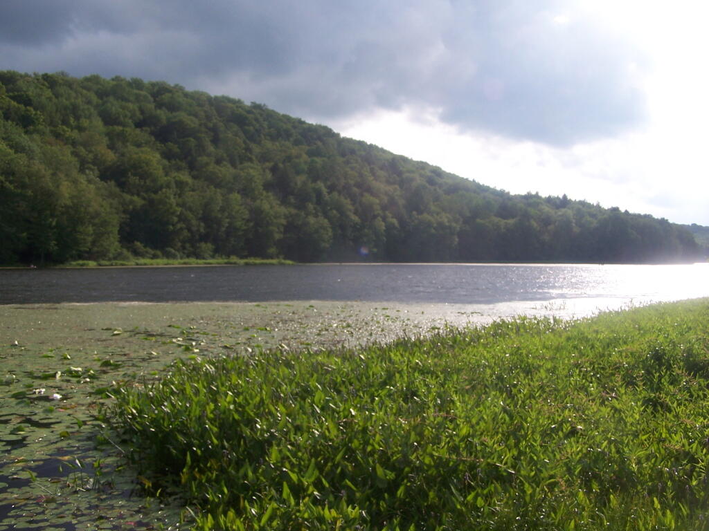
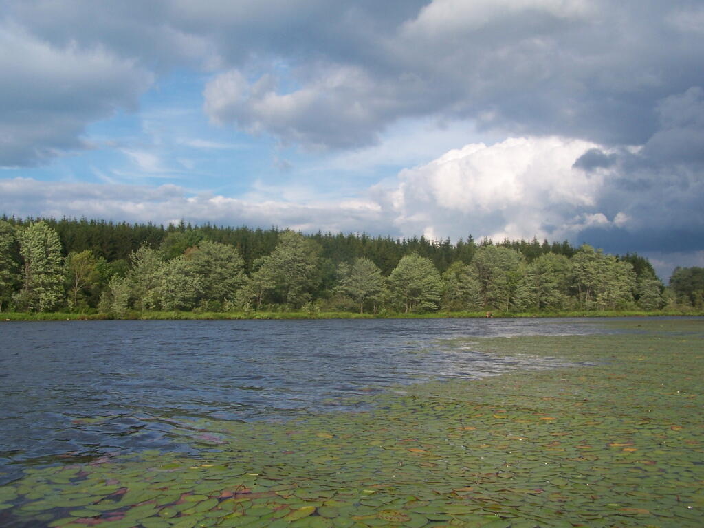
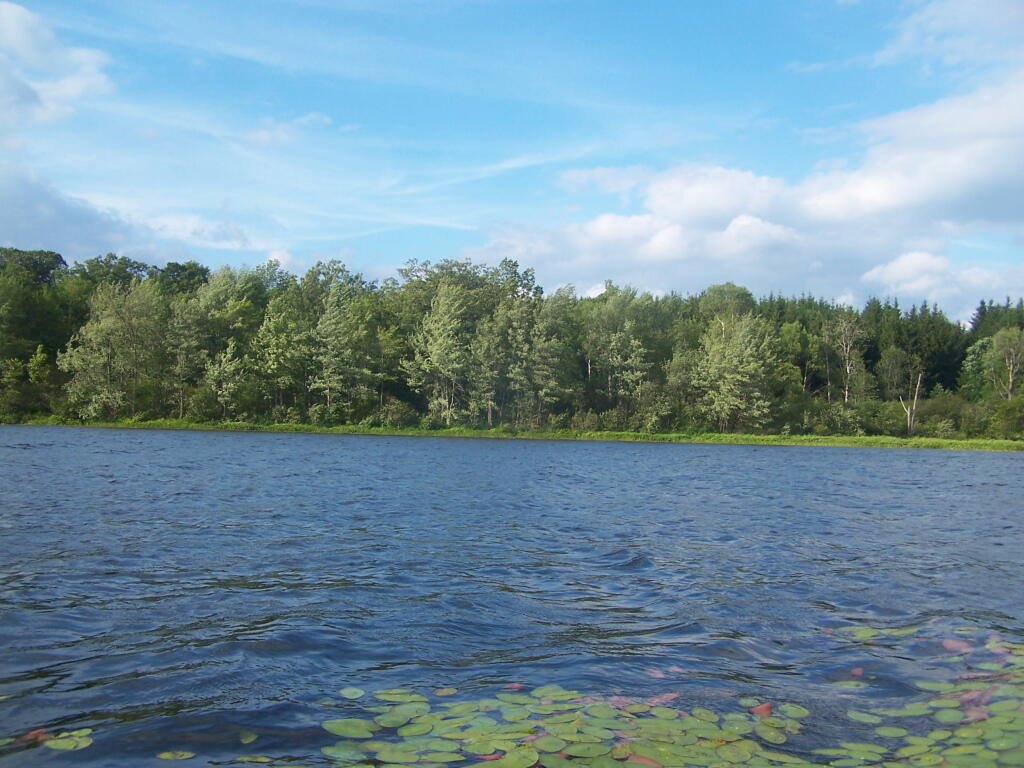
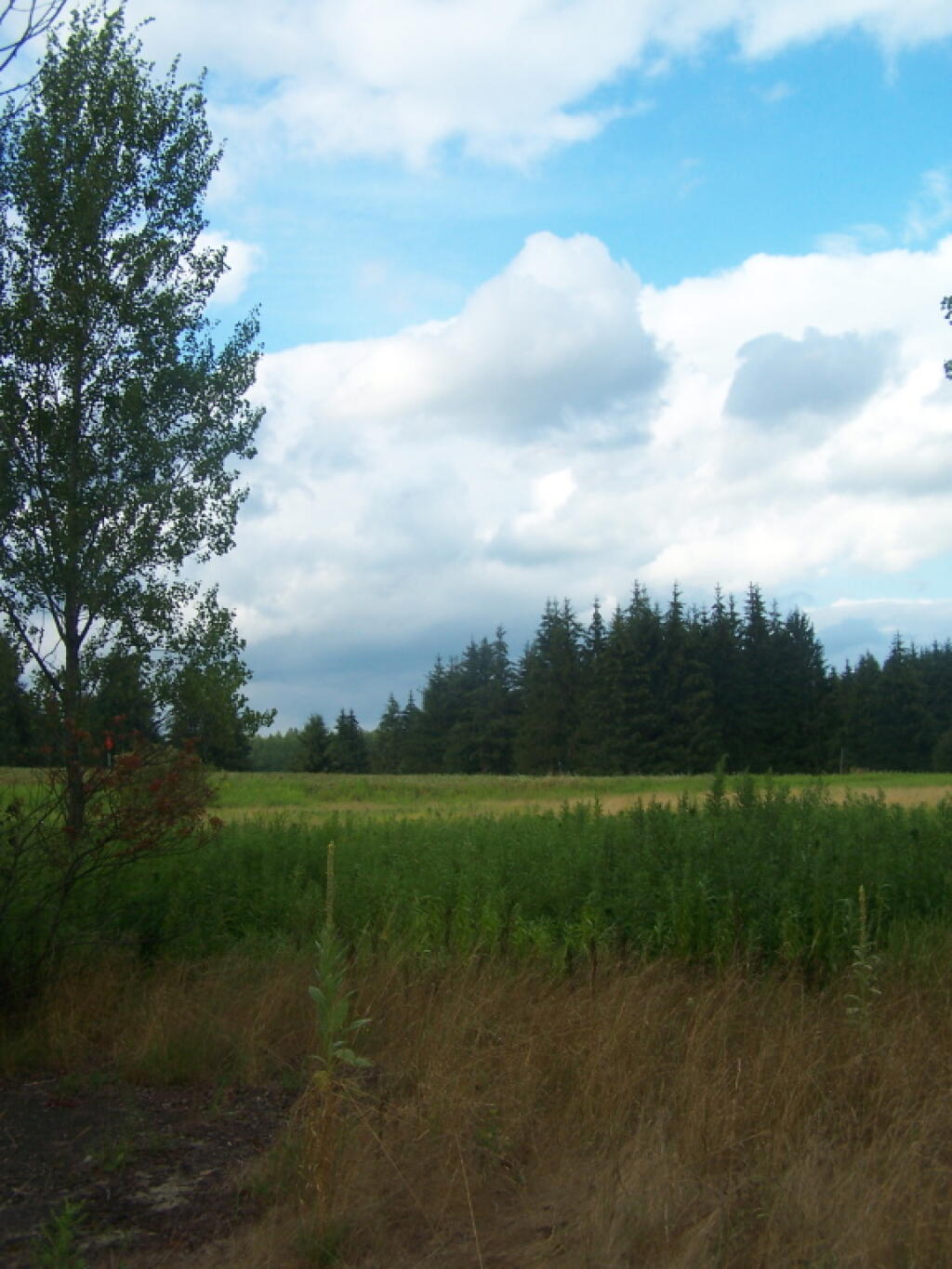
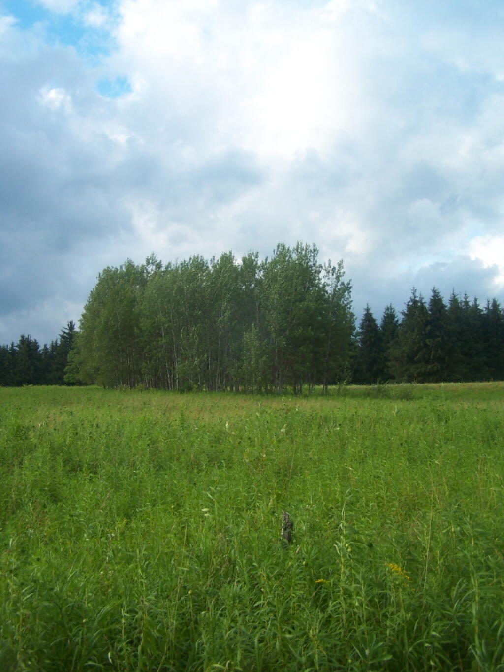
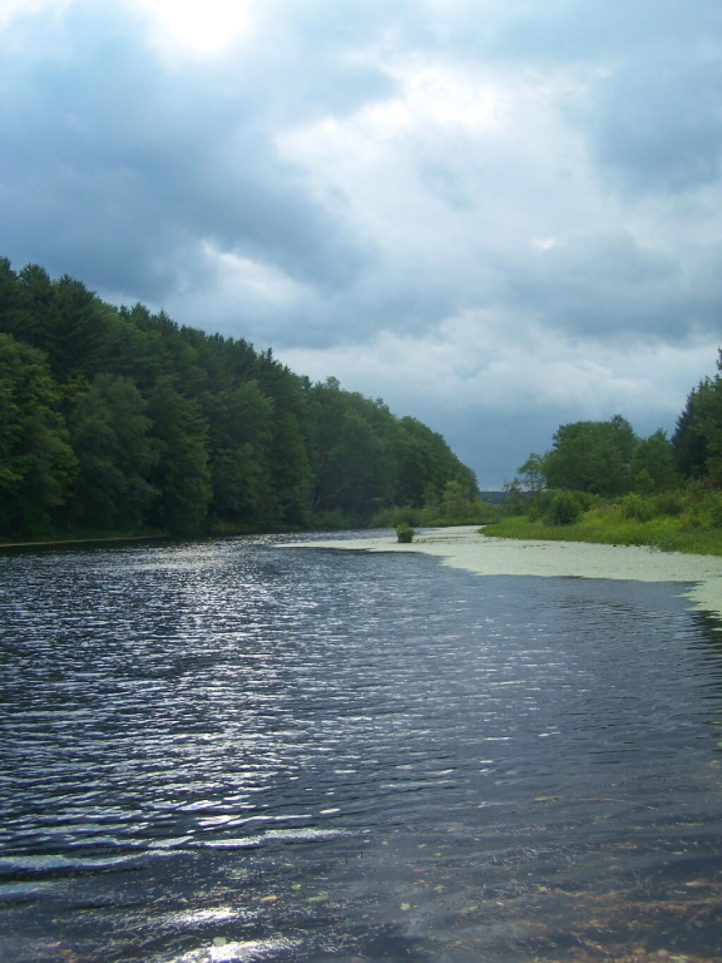
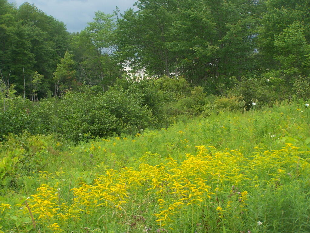
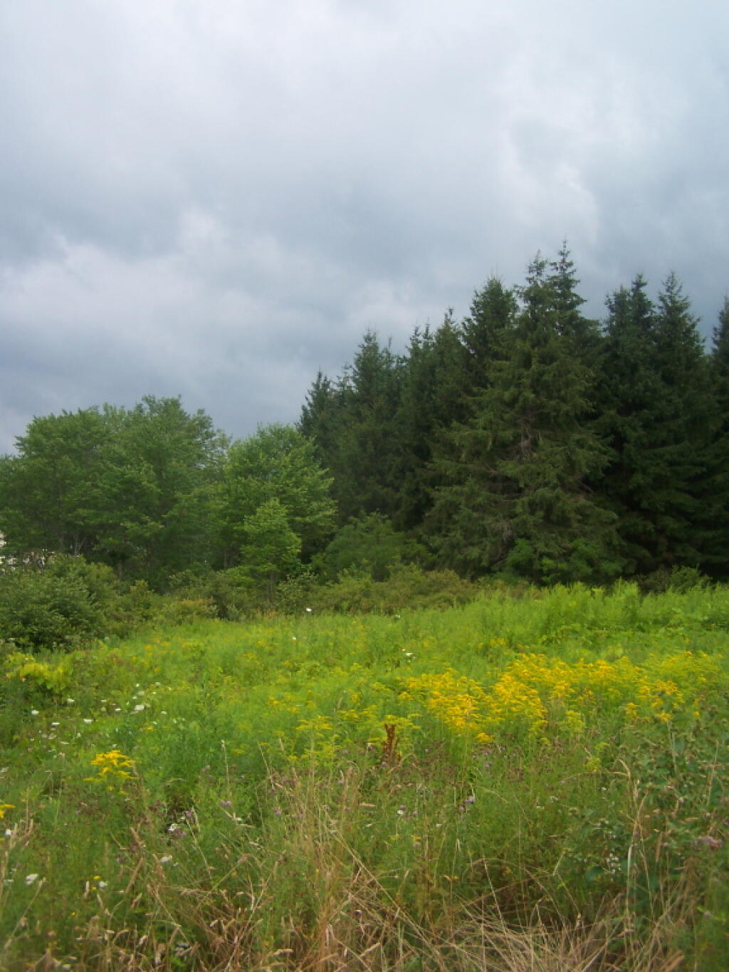
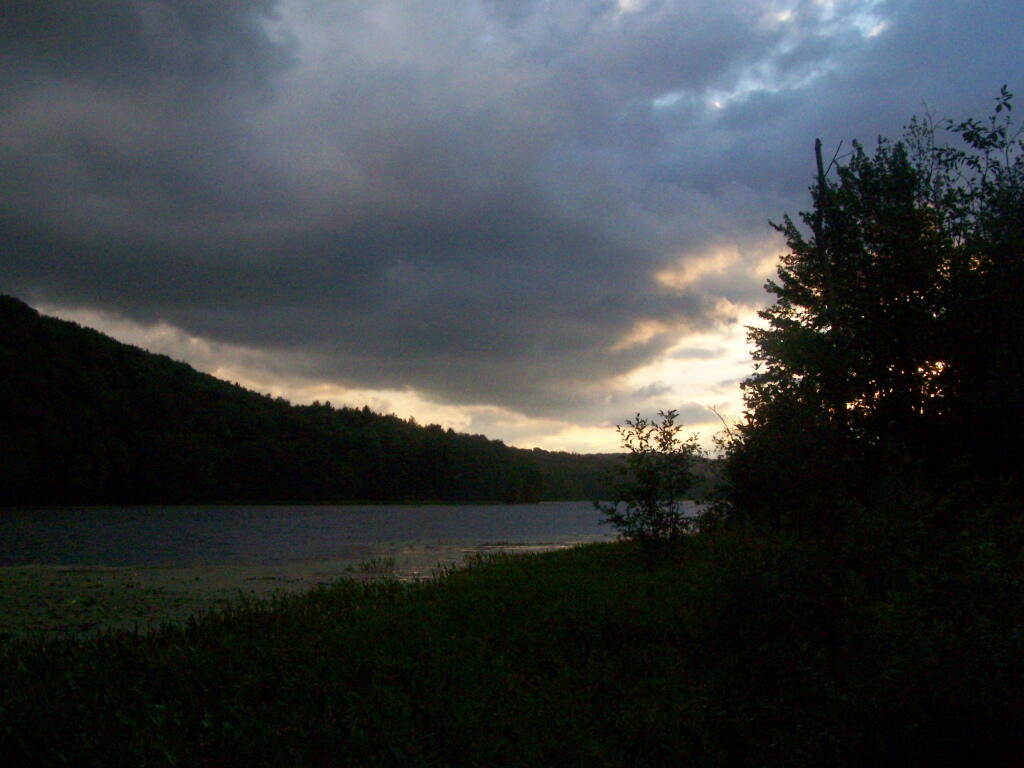
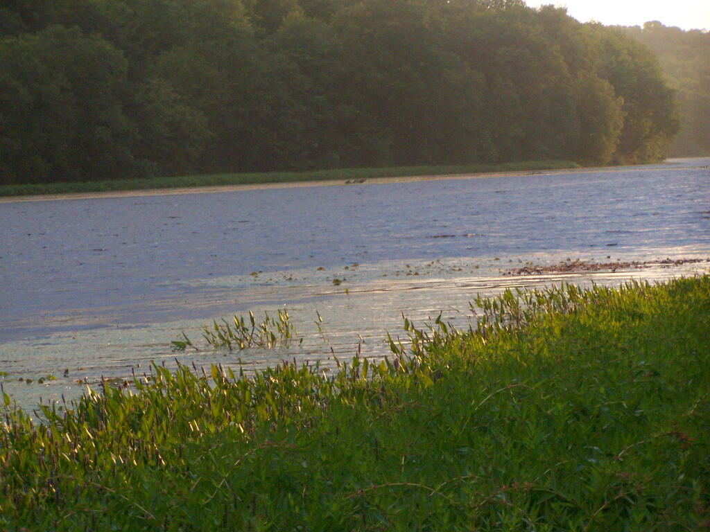
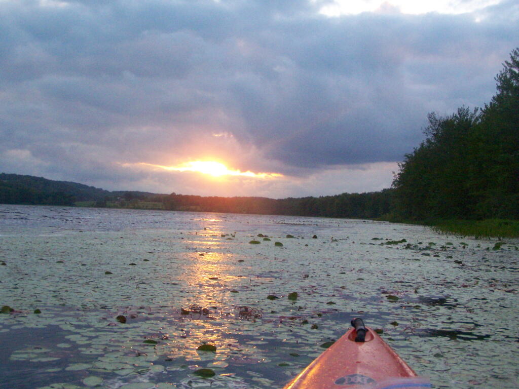
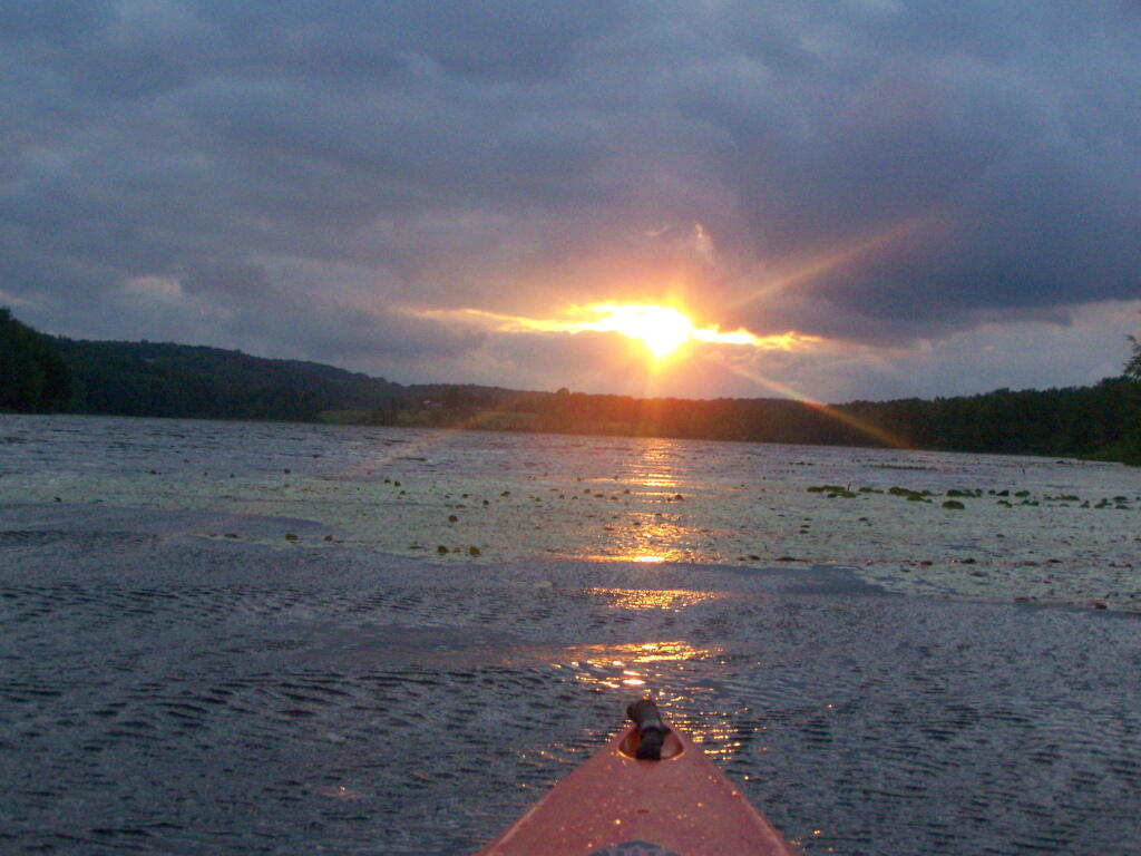
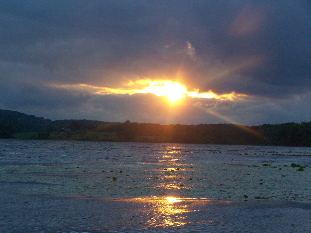
Long Pond offers 8 designated roadside campsites, and a handful of other informal campsites on the other side of the lake. A large man-made lake in an agricultural landscape of Chenango County, it offers some excellent fishing and nice views, especially for Chenango County.
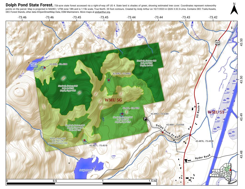
This map below shows where each picture was taken roughly in the area.
Human occupation of the Adirondack region took place immediately following the Wisconsin glaciation period (10,000‐8,00BC). Native American artifacts representing all periods of New York prehistory have been found throughout the region, most sites being associated with water bodies. The Oswegatchie River, which is an important resource for this unit, was a boundary between the easternmost of the Iroquois nations, the Mohawks and the Oneidas. Most of the recent history of this unit revolves around hopes and dreams of early speculators and the harvesting of timber. Unfortunately much of this history has gone undocumented.
The major historical events and dates that influenced this unit are described below:
Pre 1770’s ‐ Occupied by Native American Indians
1792 ‐ Alexander Macomb purchase nearly 4,000,000 acres in northern New York for 84 an acre. Shortly following this purchase Macomb was sent to debtors prison. His holdings were taken over by his partner William Constable.
1796 ‐ James Watson acquires 61,433 acres in Herkimer and Lewis Counties comprised of two triangular pieces joined only by a narrow isthmus.
1809 ‐ James T. Watson inherits the lands of his father, James Watson.
1854 ‐ James T. Watson commits suicide; his holdings in the east triangle, are split among 44 surviving cousins.
1854‐1907 ‐ Through subsequent tax sales all of Watson’s former lands in the east triangle come into State ownership.
1907‐1912 ‐ Through tax sales the State Comptroller sells these same lands to the International Paper Company for a total of approximately $7,600.
1986 ‐ The State of New York acquires title to the remaining lands of International Paper within the Watson’s East Triangle.
1989 ‐ The State acquires 6,737 acres of the Lassiter Tract in fee, and purchases a conservation easement (Oswegatchie Tract) from the Nature Conservancy on 17,749 acres in Lewis County.
1999 ‐ Champion International sells its land holdings in New York State. The State acquires a conservation easement on 110,000 acres of these lands throughout the Adirondack Park, including the Croghan Tract. The State also acquires 29,000 acres of these lands for inclusion in the Forest Preserve. The lands acquired by the State in fee consist mostly of river corridors and other ecologically sensitive areas.
2000‐ The former IP lands are classified by APA, with much of the acreage going into Watson’s East Triangle Wild Forest, while some is classified wilderness along with reclassification of some existing acreage of WF to wilderness.
2006‐ Lands acquired in 1999 from Champion International are classified and added to the unit.