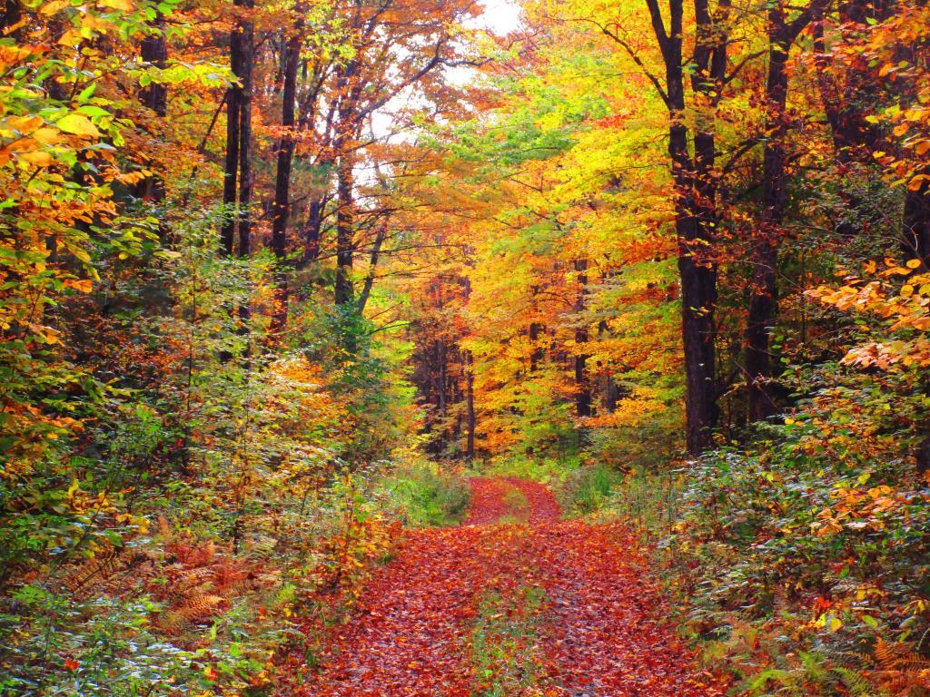
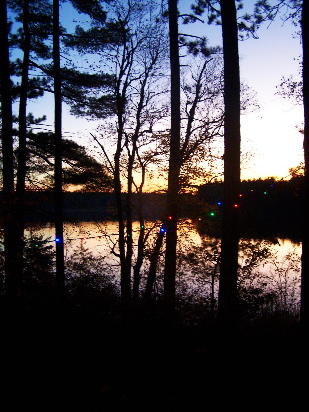
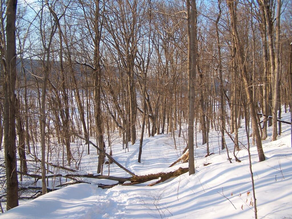
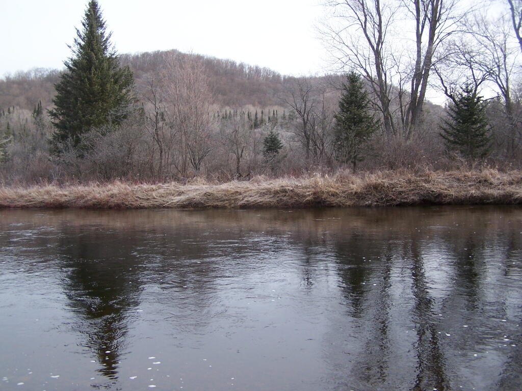
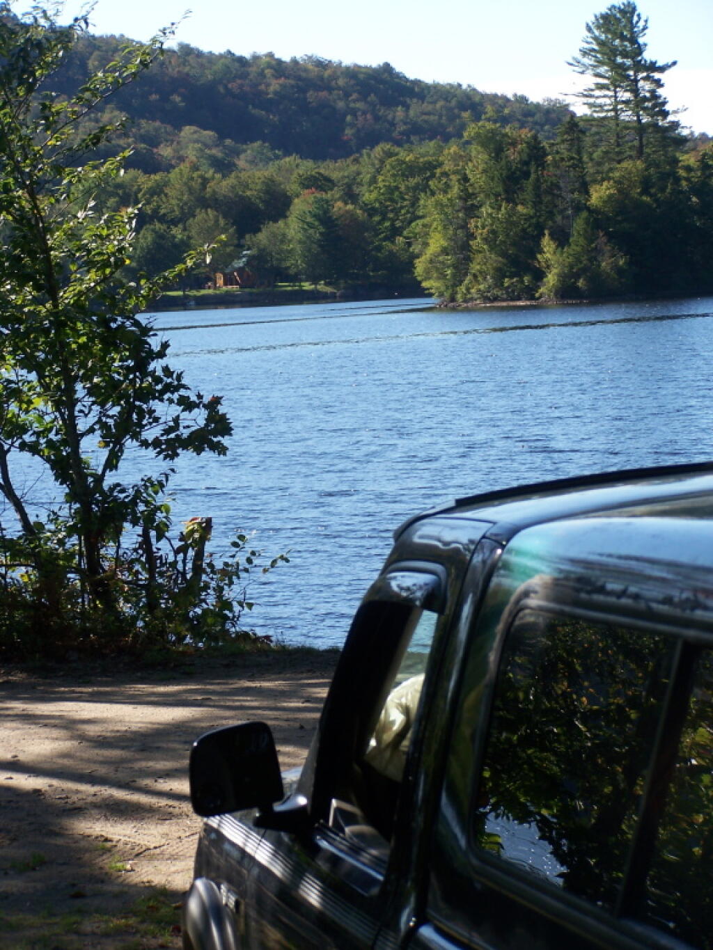
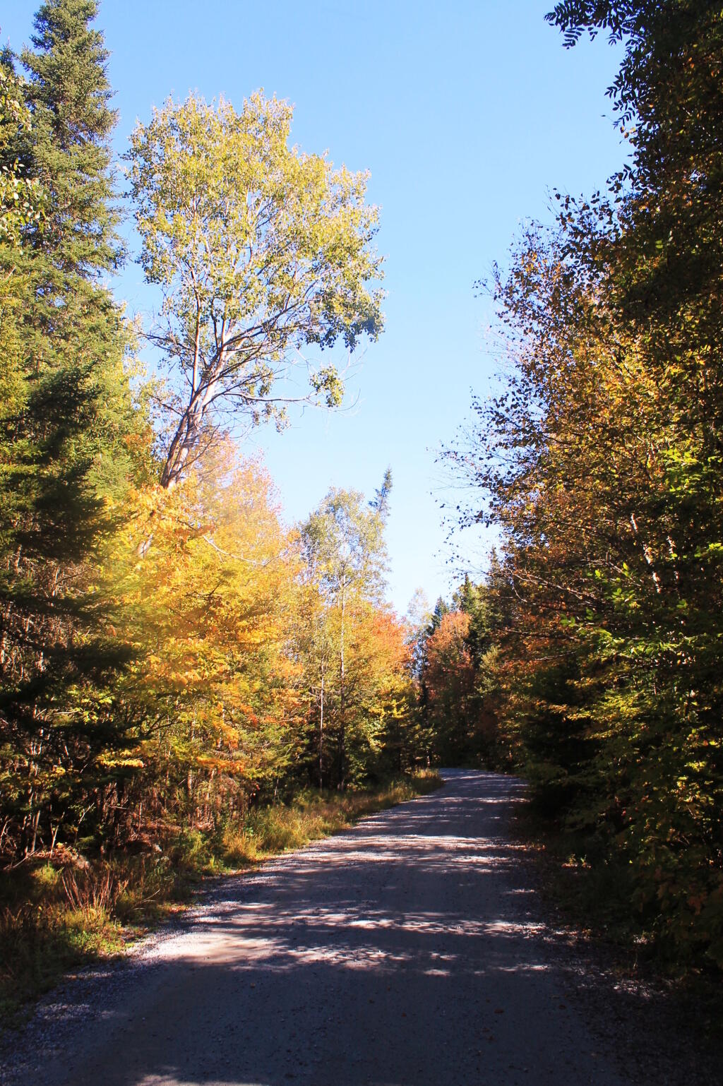
Jones Pond has 5 drive-in campsites on Jones Pond, a small public-private lake a little ways from Paul Smiths. A popular area on weekends, on weeknights, it is little used, but right on this beautiful lake.
All of the campsites have “filtered” views of Jones Pond with tall white pines growing throughout the campground. The sun, year round sets on the lake, with views of Saint Regis Mountain te background. There is much beauty at all of campsites, with high sand dunes a little ways behind campsites, and sand dunes providing sound and light barriers between campsites.
Part of the generalized St Regis Canoe Area, it one of many nearby lakes. It provides a great place to make the night after a long day paddling, after watching the sunset, and the fire burn as the night progresses. Walk down to the shoreline, and look at the stars sparkle in the sky.
It’s not perfect. There is some road noise from Jones Pond Road, and certainly part of lake shore is privately owned, so there are some power boats occassionally on the lake. But still, it’s a wonderful experience.
I have been toying around in mind what I want to do in mid-November as I take a week off from work to travel. While there is two big ifs in my mind — the exact amount of time I will have off and the cost of gasoline — the later being a big expensive question, I have already been thinking what I want to do.
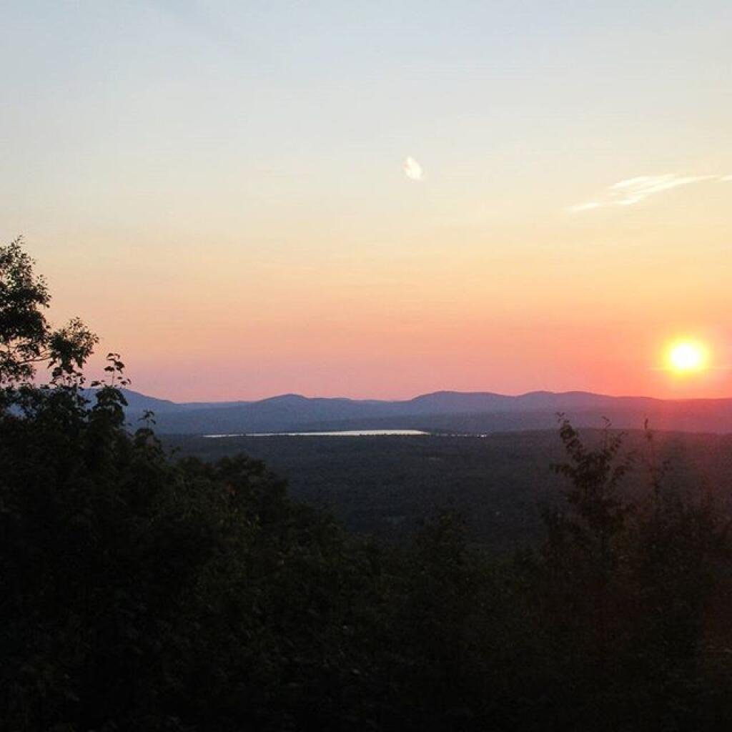
Traveling in November can be tricky. You get up before sunrise, or near it. You have to rush around all day, knowing you have to locate a campsite by 3 PM or so, and be well on your way of setting up camp by 4 PM, because it will be dark out at 5 PM, and you will want to have firewood and a fire started by dusk. The long evenings are not much of a problem, as I have lighting powered by the deep cycle battery in my pickup, but still daylight limits day time activities. The potential for snow and hunting season are other constaining factors. Cold can be bad, but at least with my current set up with the truck, having a dead battery is not a real risk.
I have three different trip options in mind:
Tug Hill/Northern Tier/Adirondack Trip
Southern Tier/Western NY/Northern Tier of PA Trip
Wayne National Forest and Monongahela National Forest Trip
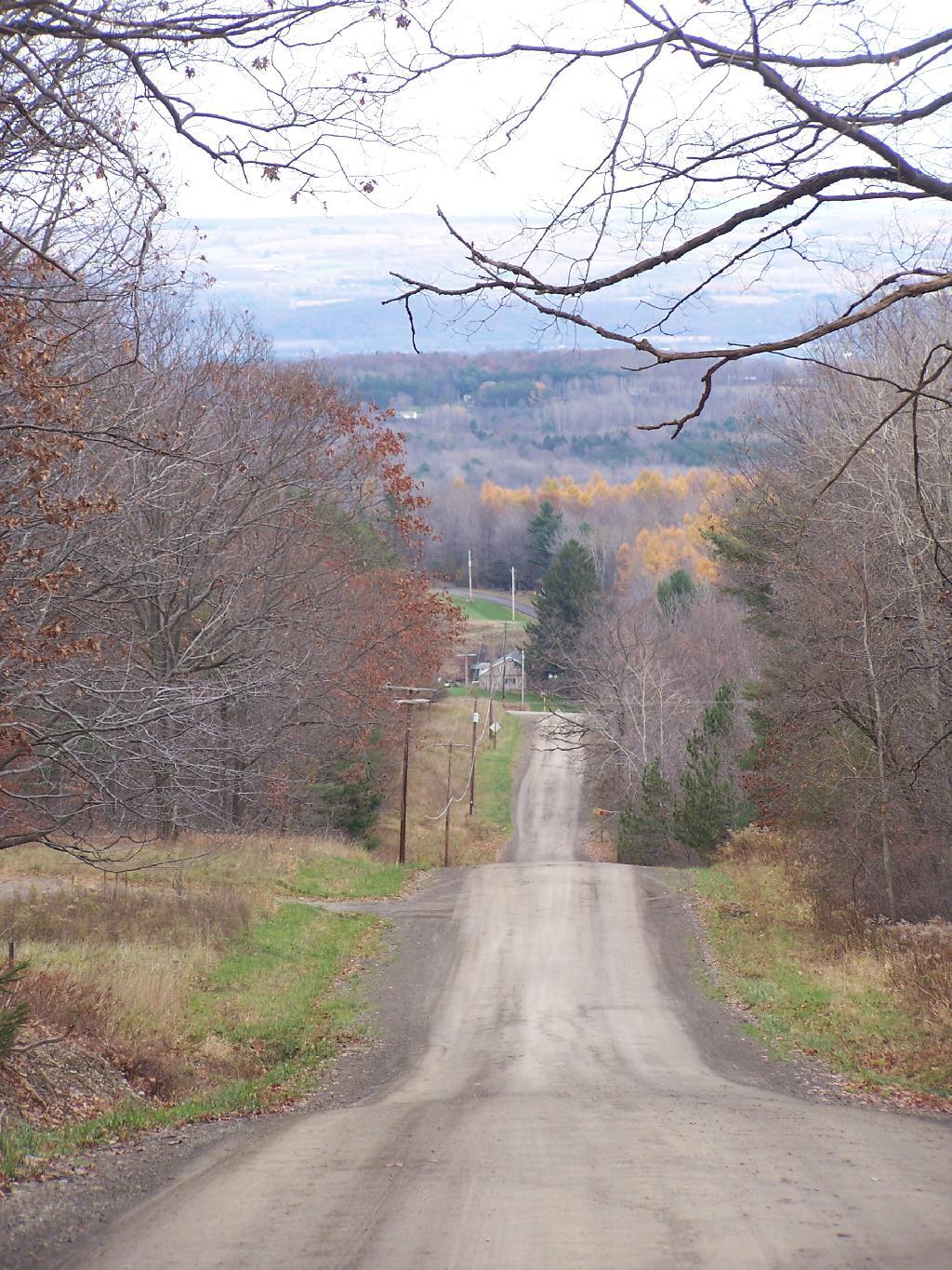
The Tug Hill/Northern Tier/Adirondack Trip would take me up through the Tug Hill checking out Whetstone State Park, maybe Moose Plains or Independence River Wild Forest, Brasher-Bombay State Forest near Massena, and then maybe somewheres around St Regis Canoe-area. Would have to worry more about snow, and it would be big game season, but its the shortest and most economic trip especially if gas prices are high.
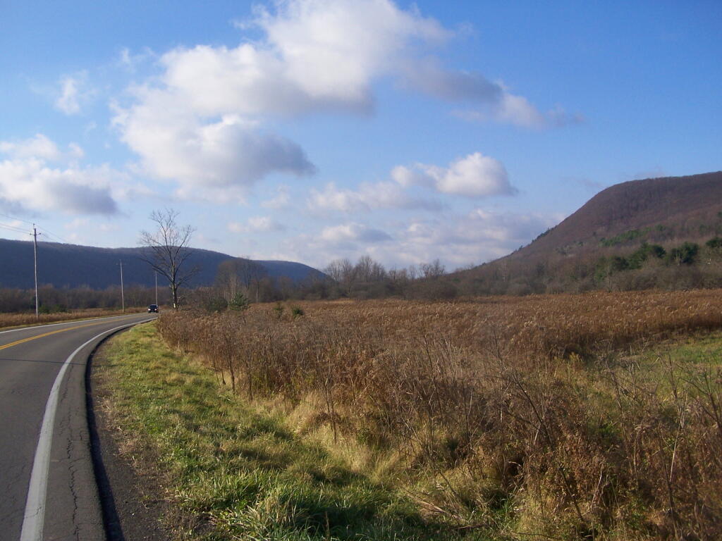
The Southern Tier/Western NY/Northern Tier of PA Trip would have me going out US 20, probably camping at Stony Pond Campground, then out to East Otto State Forest or maybe Sugar Hill in between. I would check out Zoar Valley, and then probably drive down to Chautauqua County and ultimately to Allegheny National Forest. Probably stay there a couple of days, then head back east on US 6, through the Endless Mountains, and return through Binghamton. That said, this is somewhat repeative of the mid-summer trip, so I don’t know if I want to do it again.
Then there is the trip I really want to take, which is to Coal Country Ohio and West Virigina, and the Wayne National Forest and Monongahela National Forest. It would be a delightful trip, even if it was kind of a lng trip. But that is dependent on gas prices, and if I can get a week plus off to make it all happen. But I have truck and gear, so it could be really awesome trip if I could make it happen. I want to travel to new frontiers, and I am ready to make that happen.
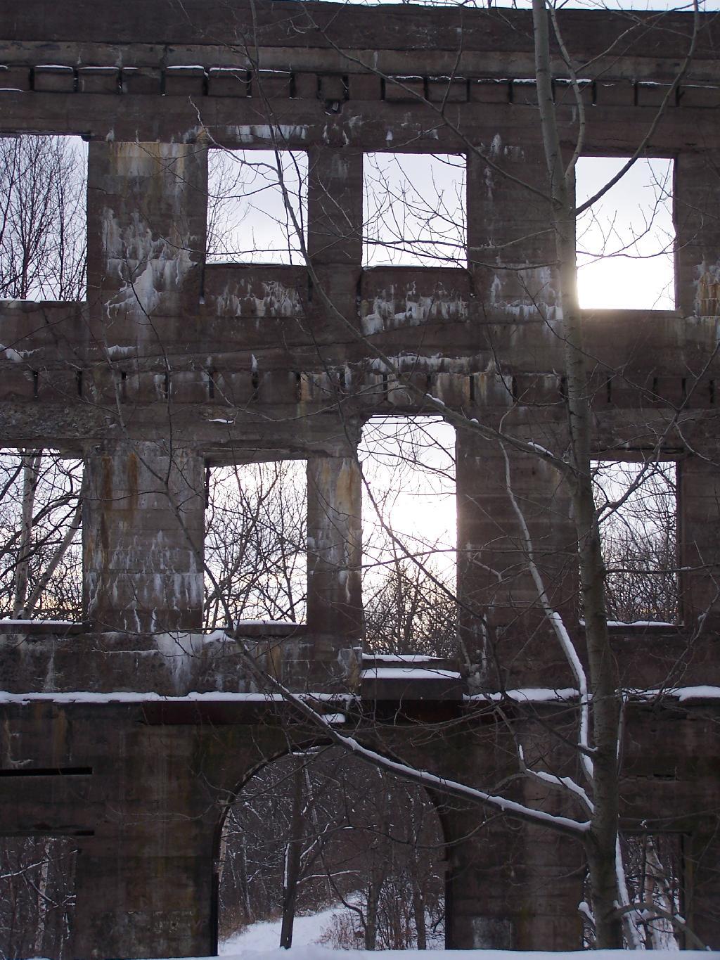
One of the claims sometimes made is that previously industrialized or man made landscapes can not ever be reversed into wilderness. It is claimed that once man touches a landscape, mines, farms, or timbers it surface, it can not ever revert back to a natural status.
The reality is that is far from that.
Man made works, while remarkable, quickly start to fall down and revert back to a more natural status, quickly after abadonmnet. Certainly man is powerful, can move large mounds of earth, and bring materials from far away. Yet, as soon as man walks away, plants start to grow into cracks, water erodes roadways and causes buildings ot fall apart, and animals start to return to recolonize a land once dominated by man.
Fragmentation and private inholdings can make it more challenging for abandoned lands to revert back to wilderness. Any attempt by man to upkeep man’s works, will prolong their existence. Man can fight the natural forces through his active stewartship of his products, and through design, but he can not stop nature’s processes once underway, by simply standing on the sidelines.
Buildings make take decades to fall in and rot away in soil. The lost of old growth timber might take hundreds of years to be replaced. Eroded soils, rock cuts might take thousands if not million years to be disolved back into a truly natural state. Yet, still man’s battle against wilderness is only temporary at best, for once man takes his hand of wilderness, it only starts the long path into wildness once again.
A while back I wrote I script for converting and styling KML files from ERSI Shapefiles, like you might download or export form a program like Quantum GIS. It requires you have the web programming language PHP 5 installed, along with the ogr2ogr command.
This program extensively uses the PHP/DOM model, to read and write the XML file. I am not an expert programmer — it’s a hobby, but I am very happy with the results. You might consider using the LATFOR data and Census TIGER/Line for this if your a New York State resident.
#!/usr/bin/php -q
<?php
// POLITICAL STYLING FOR KML
// Converts a Shapefile with Election Results in Percentage
//
// Input:
//      File_Title = Title for KML Name Field (as Seen in Google Maps)
//      District_Name = Field with District Name In It
//      Percent_as_Decimal = Election Result with Percent.
//      0.00 - 0.49 = Shade of Red
//      0.50 = White
//      0.50 - 1.00 = Blue
//      Shapefile_Name = Path to Shapefile
//
// Output:
//      Google Maps KML File, Nicely Styled

if (!isset($argv[4])) {
        echo "usage: php politicalKML.php [File_Title] [District_Name] [Percent_as_Decimal]  [Shapefile_Name]\n";
        exit;
}

// required fields
$fileTitle = $argv[1];
$nameField = $argv[2];
$percentField = $argv[3];

// filename
$filename = $argv[4];
$KMLfileName = substr($filename,0,-4).'.kml';

// convert shapefile to kml using ogr2ogr
system("ogr2ogr -f \"KML\" -sql \"SELECT * FROM ". substr($filename,0,-4)." ORDER BY $fileTitle ASC\" $KMLfileName $filename -dsco NameField=$nameField -dsco DescriptionField=$percentField");

// load our new kml file
$doc = new DOMDocument();
$doc->load($KMLfileName);

// first let's replace the name field with a nicer one
$oldnode = $doc->getElementsByTagName('name')->item(0);
$node = $doc->createElement('name', $fileTitle);
$doc->getElementsByTagName('Folder')->item(0)->replaceChild($node, $oldnode);

// delete schema field to save space
$oldnode = $doc->getElementsByTagName('Schema')->item(0);
$doc->getElementsByTagName('Folder')->item(0)->removeChild($oldnode);


// load each placemark, search for maximum — used for making color judgements
foreach ($doc->getElementsByTagName('SimpleData') as $data) {
        if( $data->getAttribute('name') == $percentField) {
                $max[] = abs(substr($data->nodeValue,0)-0.5);
        }
}

// maximum in the political race
sort($max); $max = array_pop($max);

// calcuate multiplier for each race
$multiple = 255/$max;

// load each placemark, then set styling and percentage description
foreach ($doc->getElementsByTagName('Placemark') as $placemark) {
        foreach ($placemark->getElementsByTagName('SimpleData') as $data) {
                if( $data->getAttribute('name') == $percentField) {
                        $value = $data->nodeValue;
                        $color = substr($value,0);
                }
        }

        // decide if we want to do this blue or red, and then calculate
        // the amount of color versus white

        // republican leaning
        if ($color <= 0.5) {
                $colorStr = sprintf('%02x', 255-floor(abs($color-0.5)*$multiple));
                $colorStr = "a0{$colorStr}{$colorStr}ff";
        }

        // democratic leaning
        if ($color > 0.5) {
                $colorStr = sprintf('%02x', 255-floor(abs($color-0.5)*$multiple));
                $colorStr = "a0ff{$colorStr}{$colorStr}";
        }

        if ($color == 0) {
                $colorStr = '00ffffff';
        }

        // stylize the node based on color
        $node = $doc->createElement('Style');

        $linestyle = $doc->createElement('LineStyle');
        $node->appendChild($linestyle);
        $linestyle->appendChild($doc->createElement('width', 0.1));
        $linestyle->appendChild($doc->createElement('color', 'ffffffff'));

        $polystyle = $doc->createElement('PolyStyle');
        $node->appendChild($polystyle);
        $polystyle->appendChild($doc->createElement('color', $colorStr));

        $oldnode = $placemark->getElementsByTagName('Style')->item(0);

        $placemark->replaceChild($node, $oldnode);

        // delete extended data to save KML space
        $data = $placemark->getElementsByTagName('ExtendedData')->item(0);
        $placemark->removeChild($data);

        // update the description
        $oldnode = $placemark->getElementsByTagName('description')->item(0);
        $node = $doc->createElement('description', 'Recieved '.($color*100).'% of the vote.');
        $placemark->replaceChild($node, $oldnode);
}

// finally write to the file
$doc->save($KMLfileName);

// calculate size in MB
$filesize = filesize($KMLfileName)/1024/1024;
if ( $filesize < 10) {
        $zipCommand = "zip ".substr($KMLfileName,0,-4).".kmz $KMLfileName";
        system($zipCommand);

        $kmzfilesize = filesize(substr($KMLfileName,0,-4).".kmz")/1024/1024;
        echo "KMZ is " .sprintf('%01.2f', $kmzfilesize)." MB, while the KML file is ".sprintf('%01.2f',$filesize)." MB.\n";
}
else {
        echo "Woah Horsey! The produced file is greater then 10 MB, at a size of ".sprintf('%01.2f',$filesize)." MB uncompressed. You need to simply your polygons before proceeding, otherwise Google Maps won't be able to read it. \n";
}

>
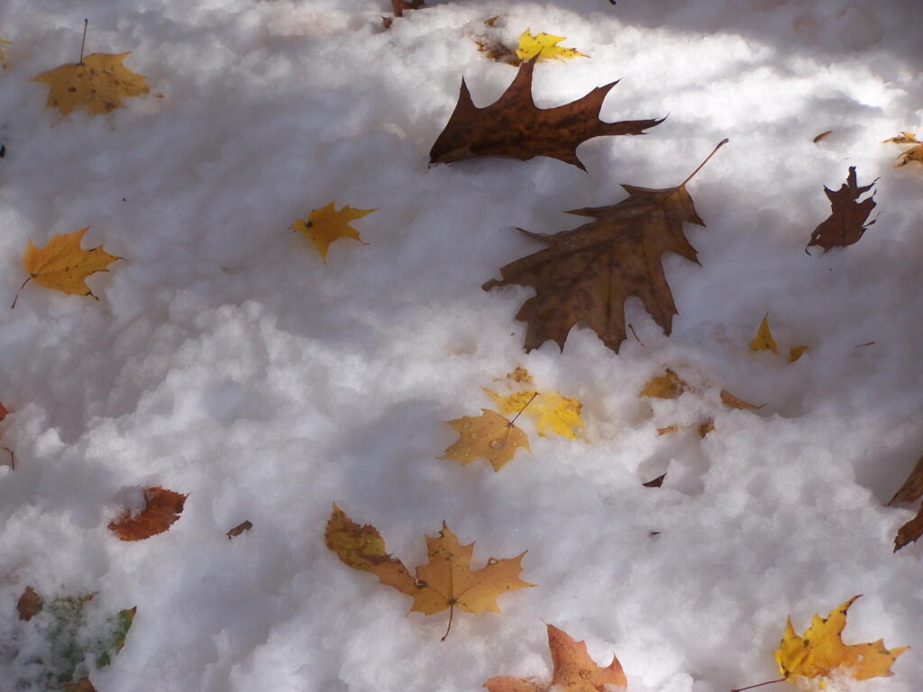
After a fresh snow fall it was a winter wonderland in the Albany Pine Barriens, a forever wild ecosystem on the outskirts of the city. It felt like one was walking through a marshmallow forest.
A cold winters day at my parents house in late January, after a long cold spell that never seemed to want to end.
February.
A icy sheen shown on the snow at Partridge Run, as I went for an afternoon walk with the dogs up there in the middle of the month.
Snowshoeing back down Bennett Hill in late February.
March.
A recently logged section of Cole Hill provided breath-taking views of Irish Hill and the Fox Kill Valley down in Berne.
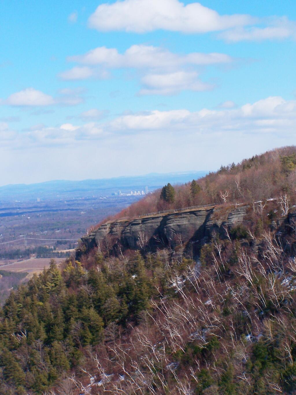
What a clear spring day up at Horseshoe Clove at Thacher Park. Warmer, nicer days can’t be far way.
April.
April 9th was the first day I got out camping in 2011. Spent the day exploring Rogers Environmental Center, camped at Moscow Hill Horse Assembly Area.
It may start to warm up earlier in lower elevations, but winter is still very much a force in late April in the Adirondacks. The East Sacanadaga River on this morning looks icy and cold.
May.
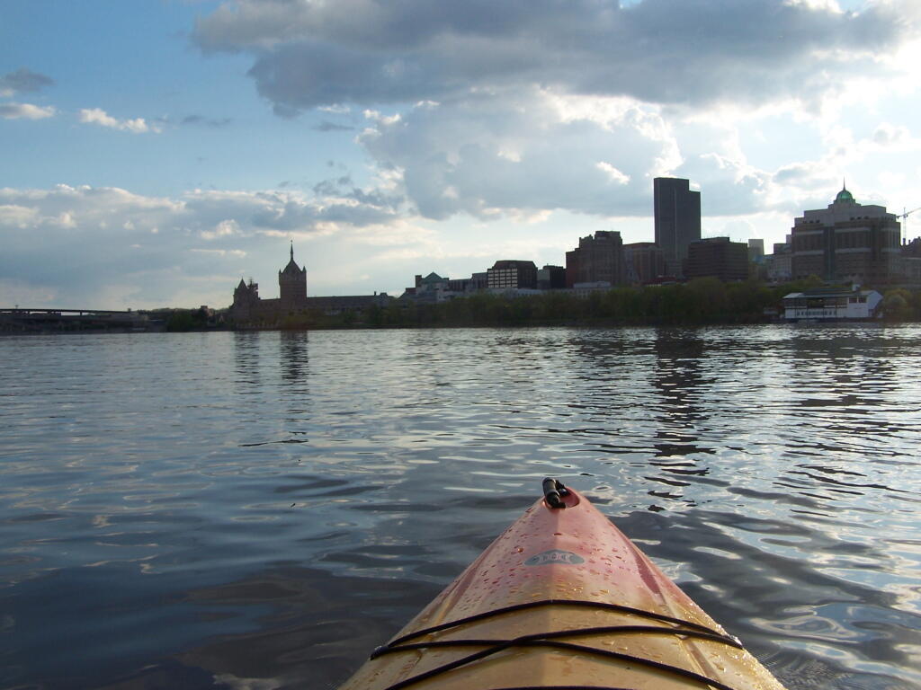
There’s Albany! From my kayak. I kayaked up to Downtown Troy from the Corning Preserve.
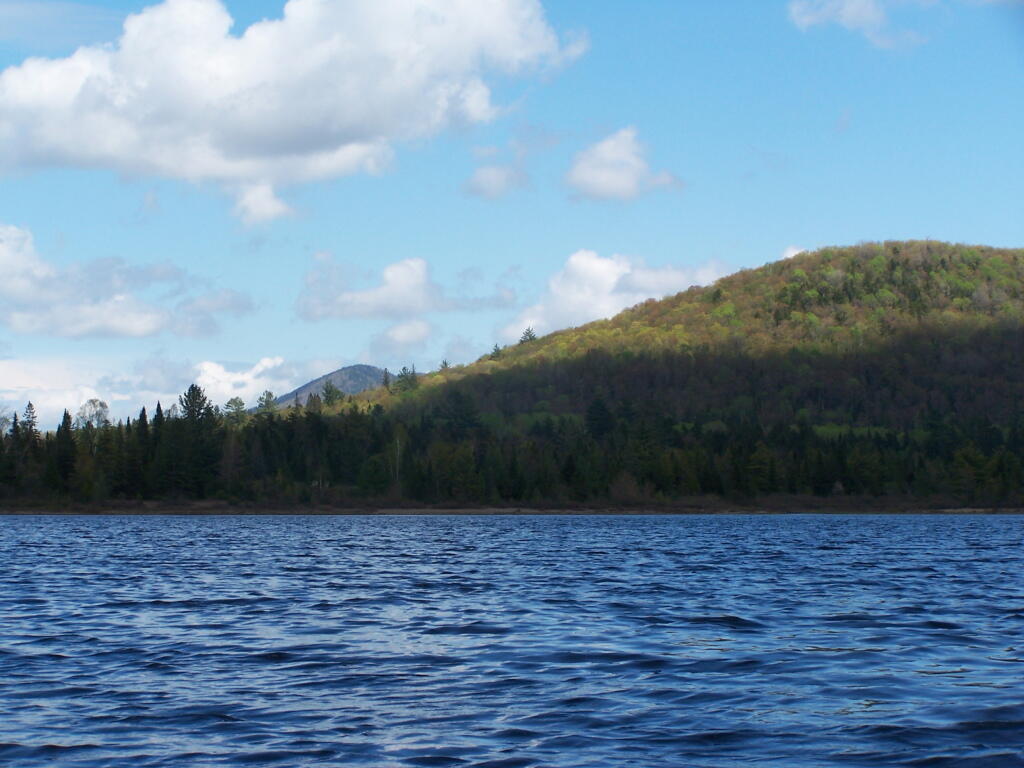
Spring finally comes to Adirondacks by late May. Paddling around Cheney Pond, looking towards Sand Mountain in the distance, on the other side of Hoffman Notch.
June.
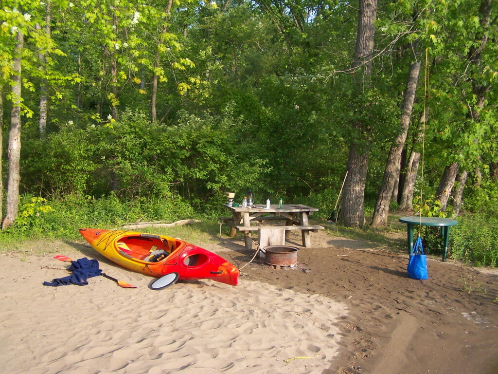
Kayak camping on Stockmans Island in the middle of the Hudson River. What an adventure, one I picked on a night when they had fireworks up at the Coxscake Town Park.
Oswegatchie River up in Watson’s Triangle in Adirondacks. There are few places as remote as this that you can drive on largely unmarked and rarely traversed back country roads. Watson’s Triangle is a place far of the beaten path.
July.
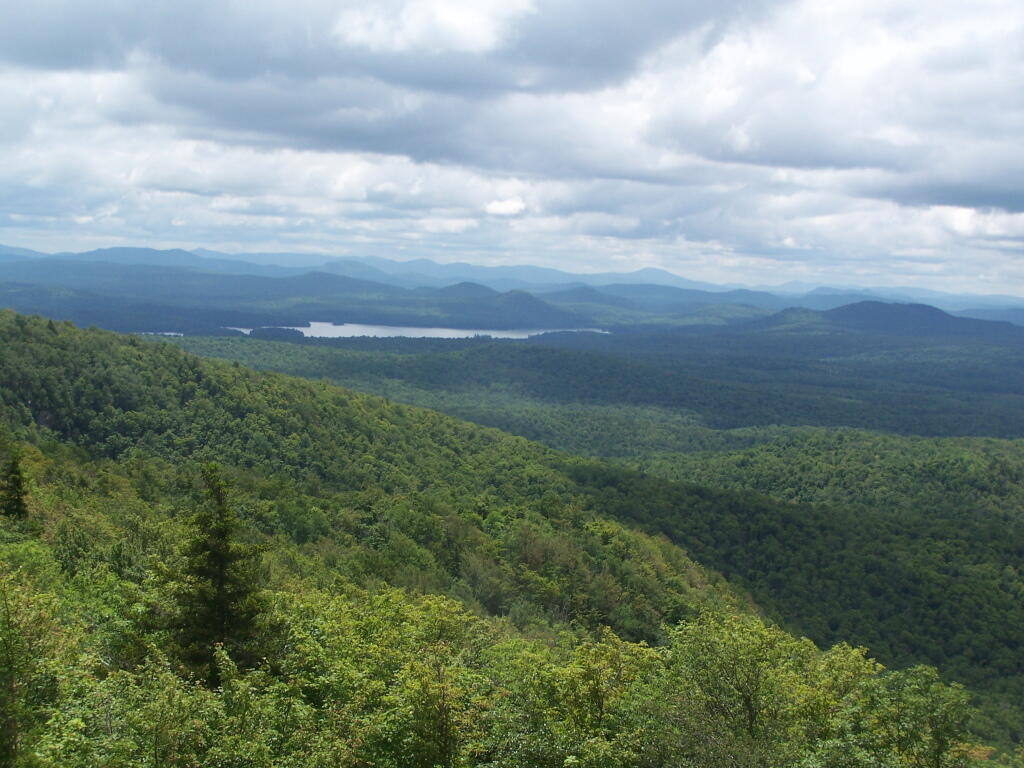
A dramatically cloudy day, looking down towards Tupper Lake from Mount Arab.
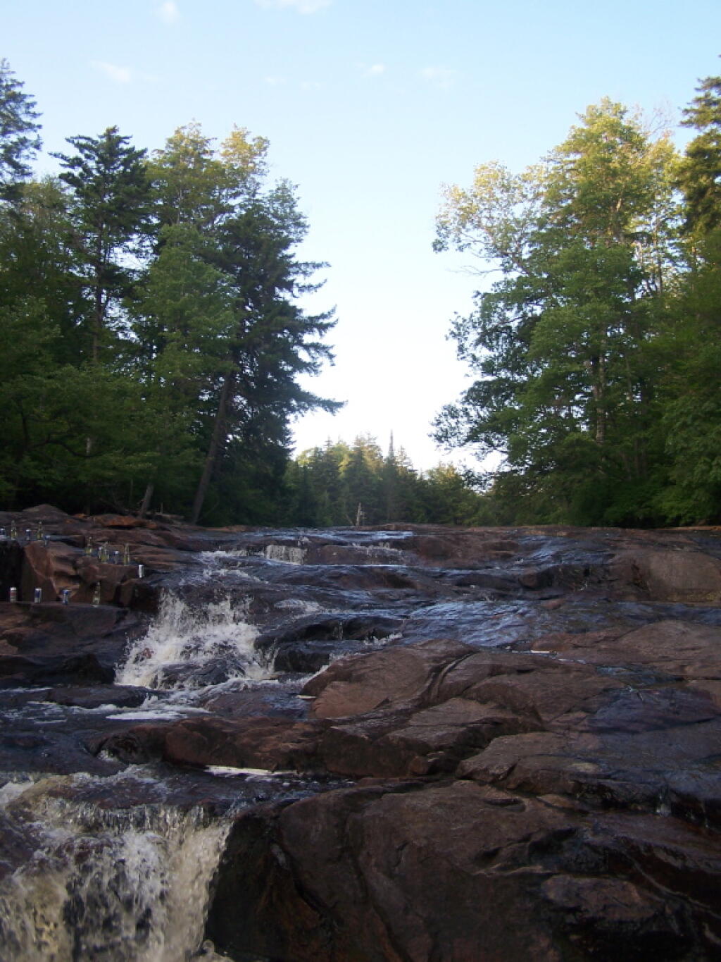
Cooling off at the Potholers on an oppressively humid summer’s day.
August.
Exploring Beaver Creek at the Brookfield Railroad State Forest in Brookfield, NY.
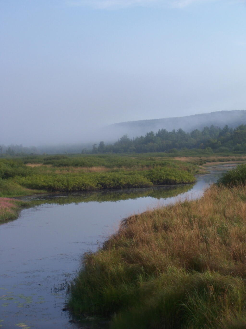
Watching the fog burn off Beaver Creek at Brookfield Railroad State Forest on a summer morning..
September.
A beautiful late summer morning at North Lake in Adirondacks. North Lake is such a jewel, especially as you head farther north on the largely undeveloped portion of the lake.
Fall was well underway, and even past peak at Moose River Plains by September 20th.
October.
Second week of October, I went up to the North Country for some leaf peeping, hiking, and kayaking. The colors may be faded in Central Adirondacks, but still were good in lower elevation parts of the Northern Adirondacks.
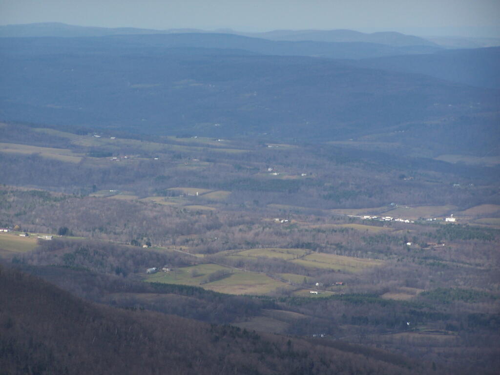
And later in October, I drove up to Snake Mountain in Vermont, overlooking the Champlain Valley and the Adirondacks. Colors lasted the longest
And by October 30th, we had snow, actually several inches, as seen up at Lake Taghkanic State Park.
November.
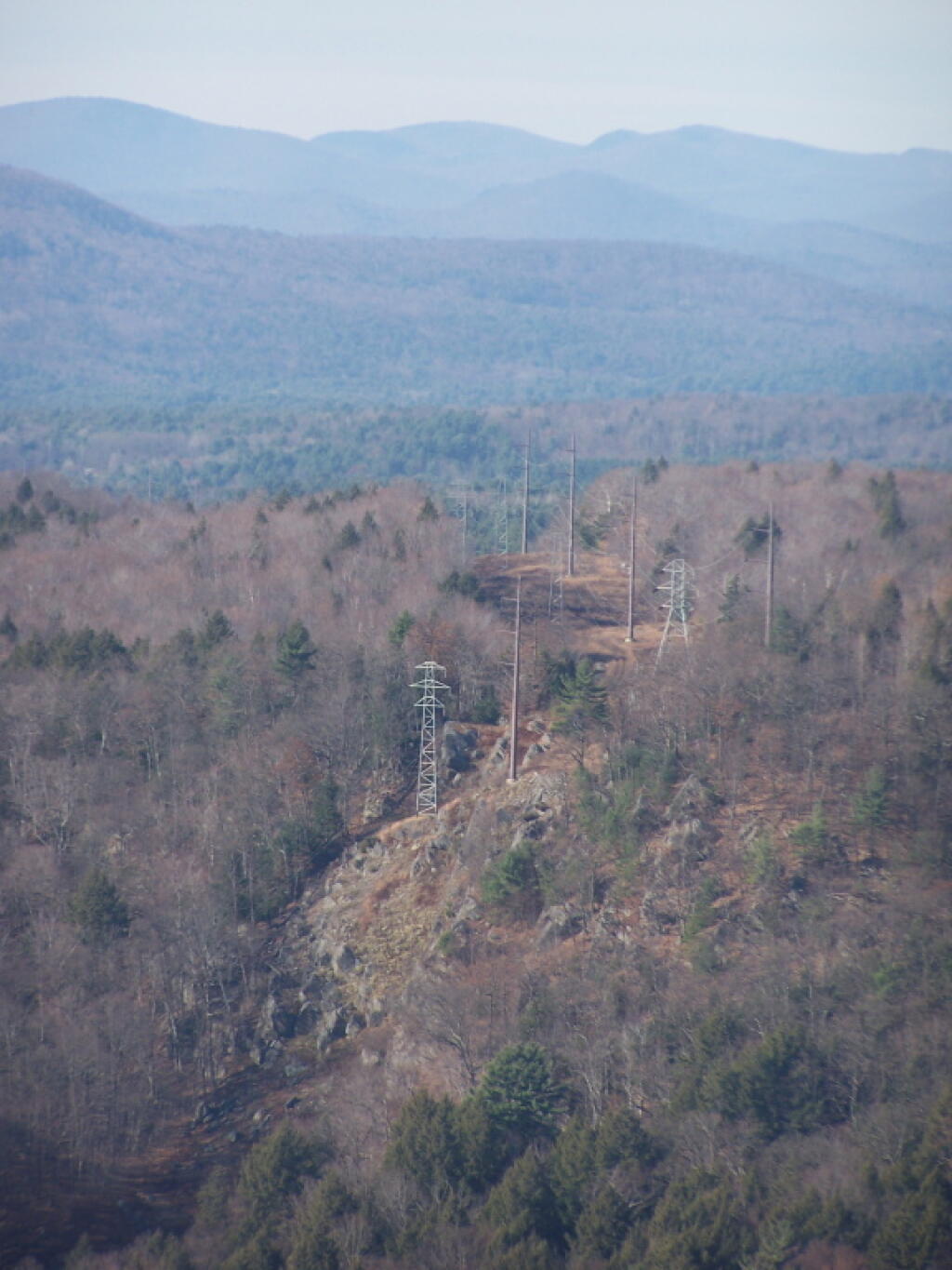
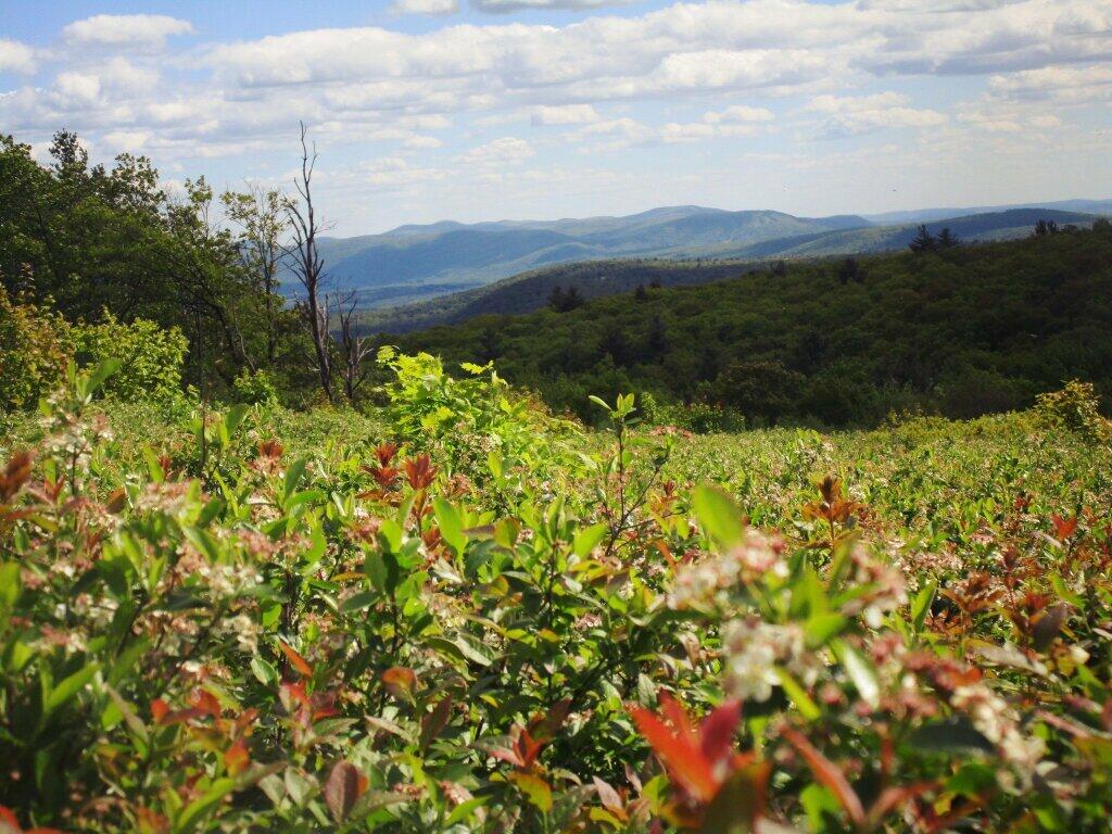
In November I visited Monreau Lake State Park for the first time, and checked out the Palmerstown Ridge above the Hudson River and Spier Falls. These power lines transfer power from Spier Falls Hydro Dam over to Corinth.
I also hiked up Windham High Peak. I hadn’t been there in many years, and it was interesting to look down at Preston Hollow and Medusa, far, far below.
December.
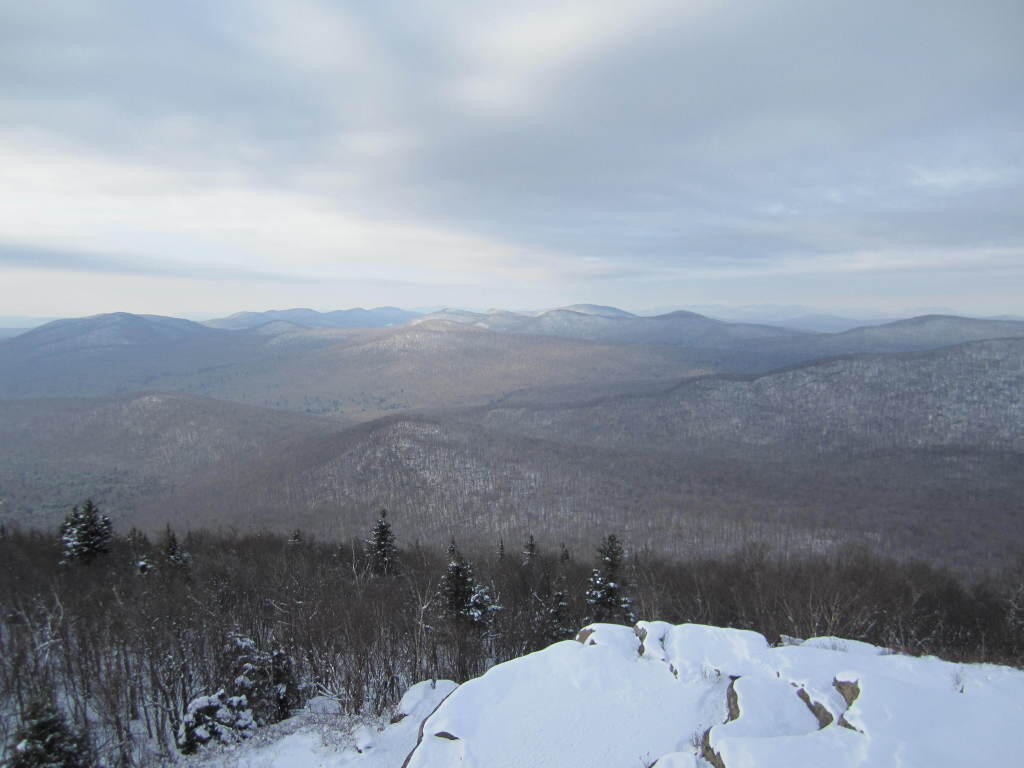
On Christmas Day, I hiked up Hadley Mountain. While cloudy and cold, it was very beautiful.
While the pond at Thacher Park was frozen, there still is very little snow locally.
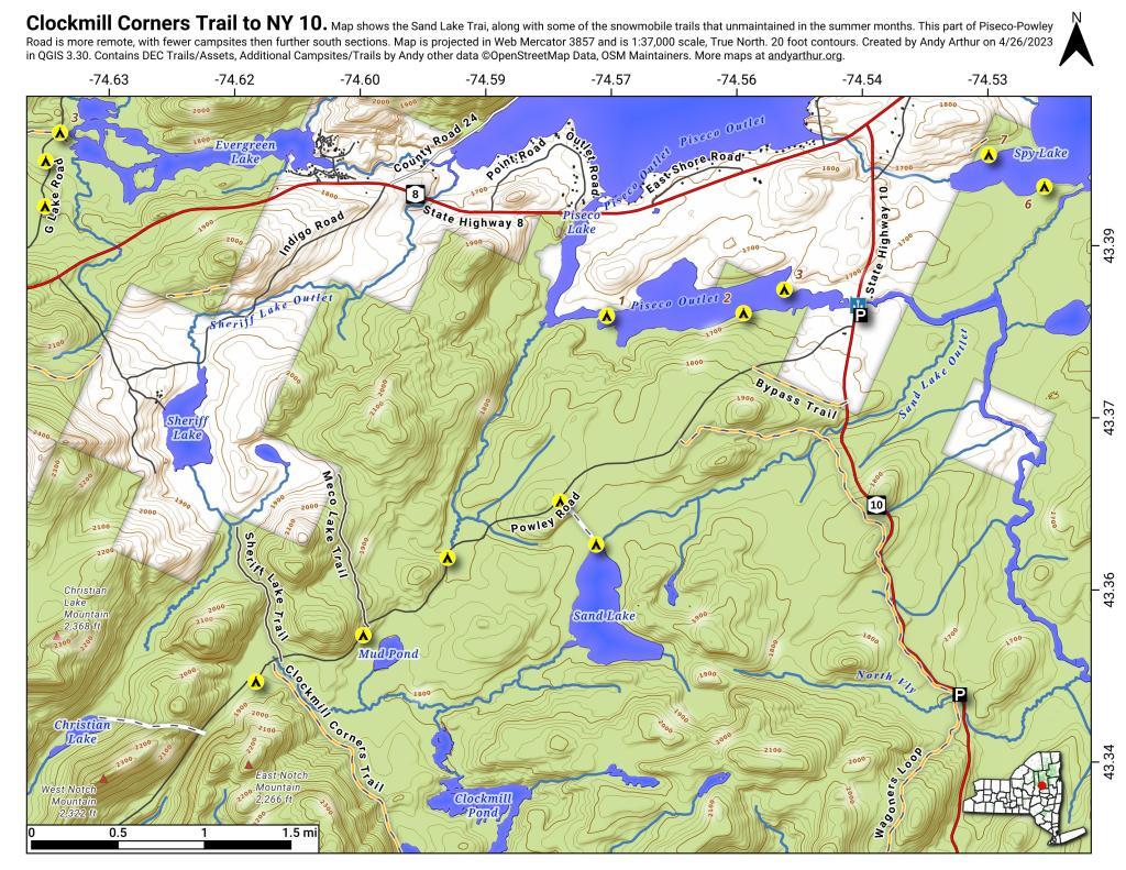
This past week, I decided to re-do the Moose River Plains Maps I had previously rendered in QGIS. I got some new data from the DEC, and wanted to simply the existing maps by taking off Wilderness Boundaries, and other details not of particular interest to hikers, campers, and kayakers. I also removed campsites that are in process of being removed or relocated under the finalized Unit Plan for the area. Be aware that the elevation on these maps is metric, as that’s what the NYSDOT Topographic Maps use in this region.
Click on any of the maps to display the high resolution version, that you can download and save, or print. Laser printers are great, especially for the Cedar River Flow Maps, as they’ll keep the ink from the running. All of these maps are free for you to use and distribute as they are based on public data. If you have ideas on how to improve these maps or seek similar maps of the area of other trails or locations, please feel free to contact me at andy@andyarthur.org.
There is no charge to camp here, however if you plan on staying more then 3 nights, you will have to a get a free permit from the forest ranger. Most campsites offer picnic tables, fireplaces or rings, and outhouses. Moose River Plains are all back country dirt roads, with a speed limit of 15 MPH, and there are some rough sections on the roads. As of September 2011, all of the roads shown on these maps are open.
Moose River Plains Camping Area.
Roads are red, hiking trails are black dotted lines on the map. All of the campsites in pink shaded area (“Moose River Plains Camping Area”) offer vehicle accessible camping including RVs and other tow-behind campers. The campsites outside of the “Camping Area” — specifically those on Otter Brook Road — will in the future be reserved for tent camping (most with vehicle accessability) except during Big Game Season when campers will be allowed at all sites. Most of the other trails with campsites on them offer wheelchair or mountain bike accessiability, as they tend to be gravel paths.
Moose River Plains Campsites.
Note: Campsites are numbered starting from the east, as you are coming from Cedar River Flow, heading towards Limekiln Lake. Many campsites have been closed or added over the year, and that’s why there are many gaps in the numbering system.
Cedar River Flow and Wakely Dam.
Cedar River Flow is a popular destination at Moose River Plains. In many ways it’s the gateway to Moose River Plains, as you reach Wakely Dam, which holds back the waters of Cedar River Flow as one of your first destinations heading West on Cedar River-Limekiln Lake Road from Indian Lake.
The Cedar River Flow is a popular lake for canoeing and kayaking. There are several designated and undesignated campsites along Cedar River Flow, with the designated ones shown on the map. There are also a handful of campsites, closely grouped together at Wakely Dam. The Cedar River is navigable for several miles upstream, and some people will paddle to the Lean-To on Sucker Brook Trail.
Wakely Pond and Wakely Dam Areas.
Along the Northville-Placid Trail near Wakely Pond there are several designated tent campsites. A map of Wakely Pond-Wakely Dam Areas, and the rapids downstream of the Cedar River Flow.
Wakely Mountain Firetower.
By far one of the most popular destinations in the area is the Wakely Mountain Fire Tower. It offers truly spectular views of Moose River Plains, Blue Ridge Wilderness, West Canada Wilderness, Fulton Chain of Lakes, and even the High Peaks.