In New York State, you have to register in a political party to be eligible to vote in primaries. You can’t vote in a Democratic primary, for example, if you are not a registered Democrat. The same is true with Republicans and all minor parties.
That said, in most parts of New York State, 15-25% of all voters choose to not register in a party. They may choose not to enroll in a party, as they don’t want to publicly identify with one side or another, or they do not feel comfortable with either party’s platform.
So where do the the voters who choose not to register in a party, aka blanks live? To answer that question, we take a look at Google Maps, using LATFOR voter registration data. Due to the limitations of Google Maps, we only included data at the municipal level, but it gives you a definate feel for enrollment patterns in different parts of state.
Next week we will take a look at actual “swing” voters on a state-wide basis at the MCD level. Swing voters are different from “blank” voters, as they are voters who choose to vote cross-lines, such a voting for a Democrat for President, then choosing to vote for a Republican for State Senate, and a Democrat for State Assembly. “Blank” voters might be enrolled in a party, but they may always consistently vote for Democrats and Republicans.
Reviewing these maps, you will note that the Hudson Valley and Suffolk County have the highest percentage of blank voters in the electorate. Suburban areas also tend to have greater number of blank voters, compared to urban centers and rural areas.
So how has the number of blank voters changed in the state from 2006 through 2010? It varies widely based on region of state, but in general partisan enrollment is up in the state, except in some rural portions of the state that used to be more heavily Republican.
2006-2010 Municipalities with Decreases in Blank Enrollment.
2010 Statewide Elections in Maps A look back at the last election cycle and how things played out.
Here is a map of the Average Democratic Preformance for all Statewide Candidates in 2010.
Here is the Gubernatorial Race. Notice how Andrew Cuomo won most rural and urban communities, with the exception of the most conservative towns in the Southern Adirondacks, Catskill Mountains, and also Western NY, where hometown favorite Carl Paladino snapped up many votes.
In Competitive State Senate Elections (which there many in 2010), Democrats won over many small towns in Upstate New York. That said, the votes that Democrats won, often where not enough to offset the more populated areas where Republicans won. Votes on third party lines (not included) also helped win Republicans over in certain districts.
The same can be said with the State Assembly. Despite winning far fewer towns, they kept a strong majority, in part thanks to their strong New York City base, and fushion candidates, running on multiple lines not shown on this map.
From the 2010 Census we get a good look at what the population looks like in Upstate NY. Upstate cities’ population was intentionally “bunched” together in reds to emphasize the difference in population, in the more suburban and rural communities surrounding the cities. If I had used absolute population coloring state wide, the rural countryside would be solidly blue, while upstate cities and largest suburbs would be orange, with only New York City being pink.
As towns across the state vary some what in size, looking at population density is more accurate. That said, be aware how I “grouped” colors together to emphasize the difference in rural population, at the cost of merging vast differences in urban populations to shades of red and pink.
Notice the dark blues in the Adirondack and Catskill Parks, some representing large areas of state lands, others representing a lack of economic opporunity. Large areas of the upland Central Letherstocking Region, and Allegheny Plateau are also sparsely populated due to a lack of jobs, little agriculture due to poor upland soils, and large parcels of state land due to abandoned upslope farm land.
Indeed, a much of the modestly populated area in Mohawk Valley through the Buffalo-Niagara region, is called the state’s “Farm Belt”, with large amounts of agricultural activity — aka CAFOs and other large and highly productive dairy farms — on going due to large flat lands, with rich soil. Farming helps keep populations higher in those areas, as does reminence of the former industrial economy and connection the major upstate cities. Modern dairy farming is unproductive in other regions of state, except in alluvial valleys. Dairy farming regions of state, are typically have populations between 75-150 persons per square mile.
The New York State Towns and Cities, ordered by size, then graphed on a population curve. It’s a pure J curve.
A few years back I happened to visit the Citizens Environmental Coalition headquarters when they where pushing to ban burning of household garbage and other farm waste in rural areas in towns with populations less then 20,000, which was legal in many communities prior to 2009 action taken by administrative fiat by Governor Paterson on the urging of a certain NYPIRG lobbyist. They had something similiar to this map (they also excluded small cities and villages which I did not), showing that over 80% of the state it was legal — at least unless their was local laws prohibiting it. Most of Upstate NY could participate in this proud and smelly hick tradition!
Most of Upstate NY is included in this map as being in municipalities less 20,000. It’s quite remarkable to think how few towns in Upstate are actually larger then 20,000 and how directly representive many local governments are to their people — at least if the public chooses to get involved. It’s over 80% of the area in Upstate has populations less then 20,000.
And if we drop that number down to 5,000, you’ll find still 74.08% of state’s landmass is covered by towns less then 5,000 persons. That’s pretty remarkable. There are 1.3 million people who live in those 639 little hick towns in NY State, covered by forest lands and farms. While I don’t have block-sized population data for entire state, you can imagine most of that population probably lives in small towns and villages, and only a smaller minority lives spread out in the countryside.
Still, raw population of mucipalities is not a very good predictor of the rural nature of a town. It might mean consituents of a small town have access to their local government officials, but it does not neccessarly mean that town is spread out. In contrast, if you look only at towns with average land per capita, exceeding 10 acres, you get a good view of truly rural communities. Now, people in rural towns with 10 acres a piece do not all have to own 10 acres individually, but it does mean such towns have a lot of farming or forest activites going on, and many people are very well spread out. It’s a lot of Upstate NY, outside of cities and Mohawk-Niagara farm belt.
And for the Capital Region, showing except for the city, there is a lot of open forest and farm land.
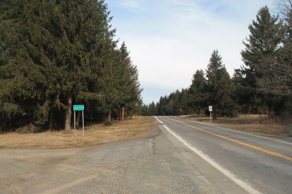
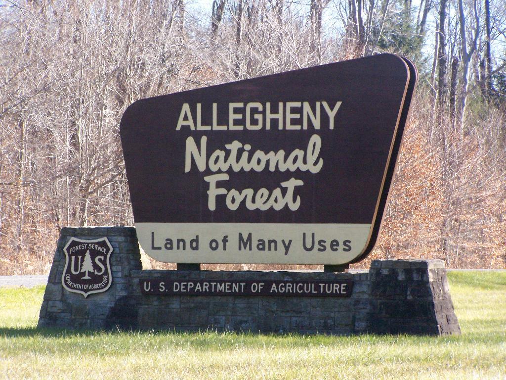
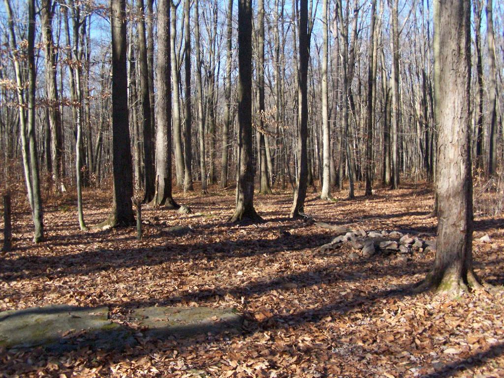
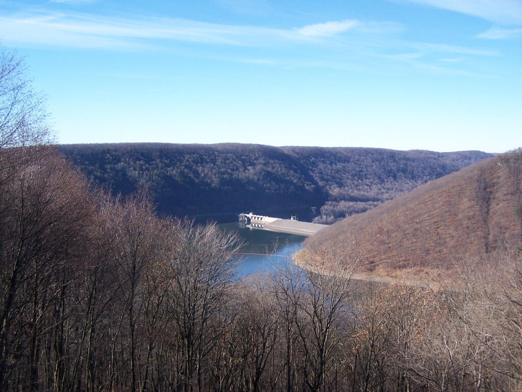
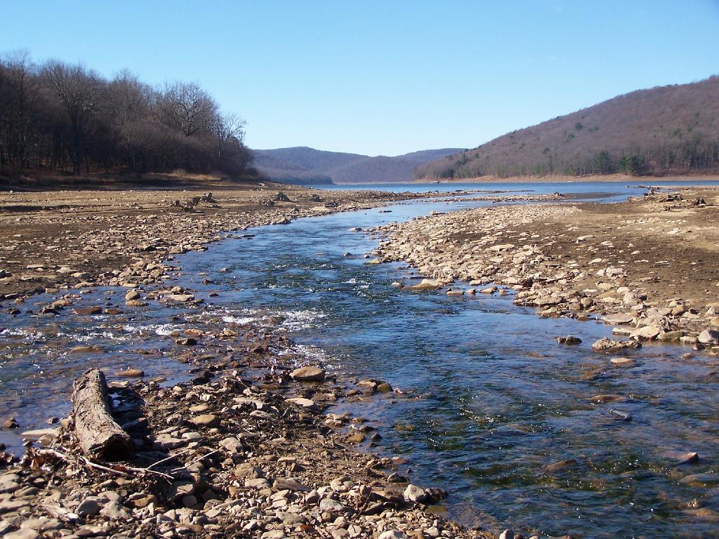
Last fall I spent two days camping in the Allegany National Forest, which is south of Salamaca, NY and west of Bradford, PA. Two days in mid-November provided a limited time to explore the area, in part due to the short days between sunrise and sunset, requiring me to back to camp no later then about 3:30 PM in the afternoon to gather wood and prepare for the coming sunset at 5 PM.
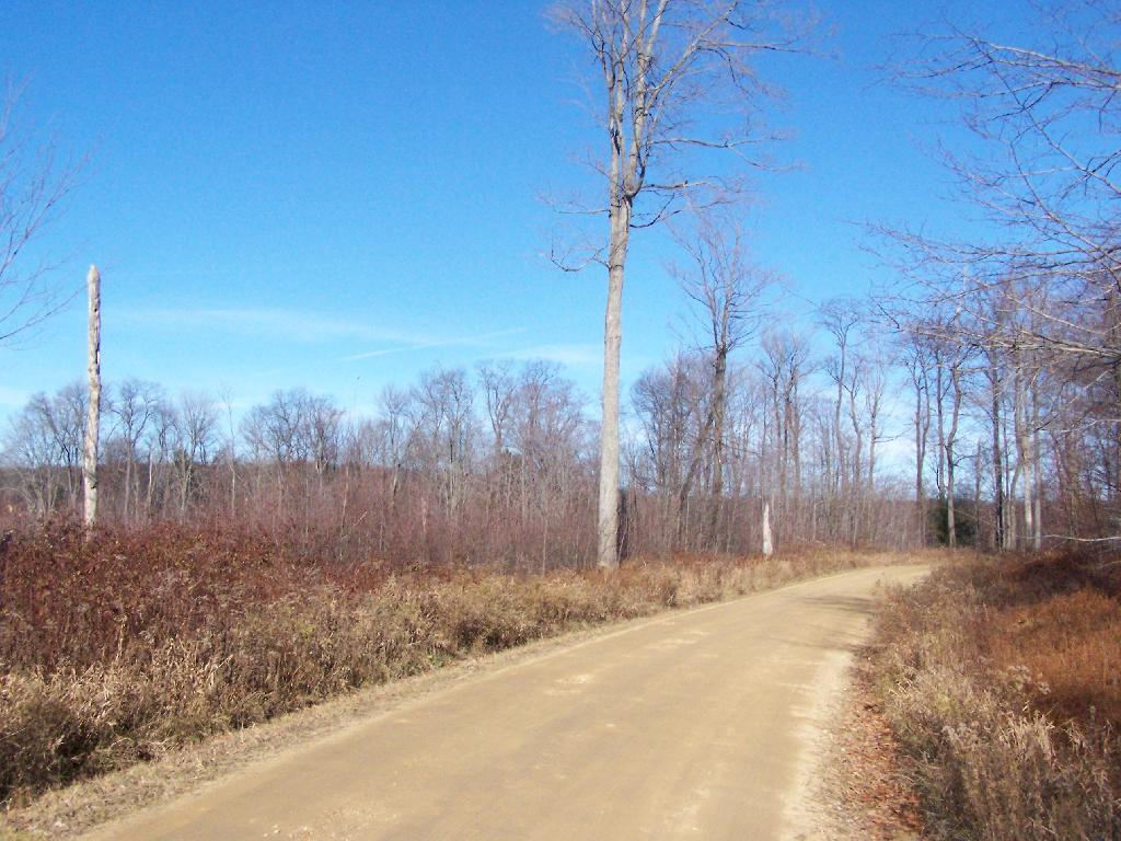
Throughout the Allegenheny National Forest there are many truck trails that pass oil and gas wells, provide access to timber stands used for logging, and also access to hunters, fishermen, hikers, and camping. Most of the forest is not mature stands of trees, and indeed the whole area has a very working-forest nature to it, by no means is it wilderness.
Camping is allowed along all of the dirt roads except for roads specifically designated scenic byways. It is strongly discouraged by that vehicle travel off the roads any further then neccessary to prevent erosion. Dotted along the roads are places where people have camped in the past, in fields and other desirable places. Campsites are very primative, and have only rock fire places left by previous users.
I camped off of Forest Service Road 154, quite a ways above the Allegeheny Reservior. It was a decent little site, pretty far back, and nice and hard, so I need not worry about sinking into the ground. I also felt wildfire danger was lower this time of year, as there was not the dry grass here, and the leaves where damp from dew.
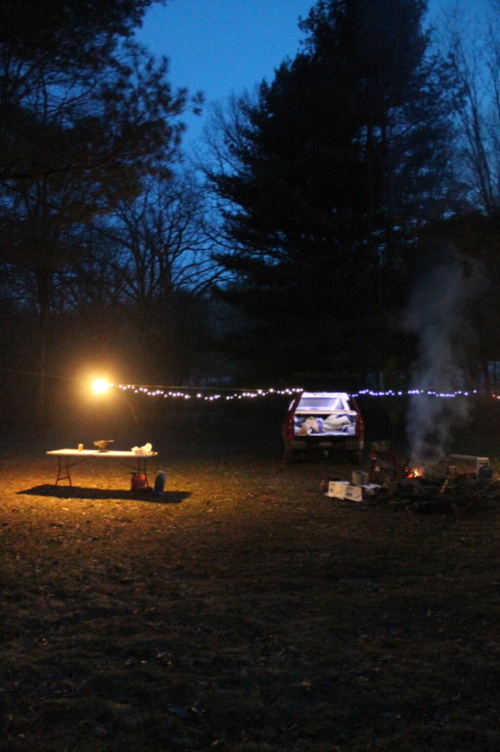
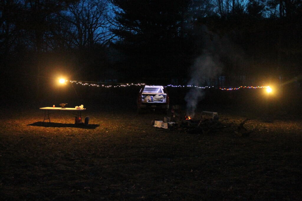
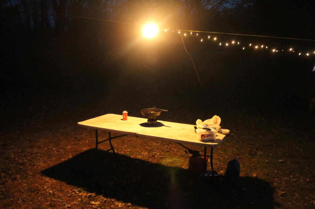
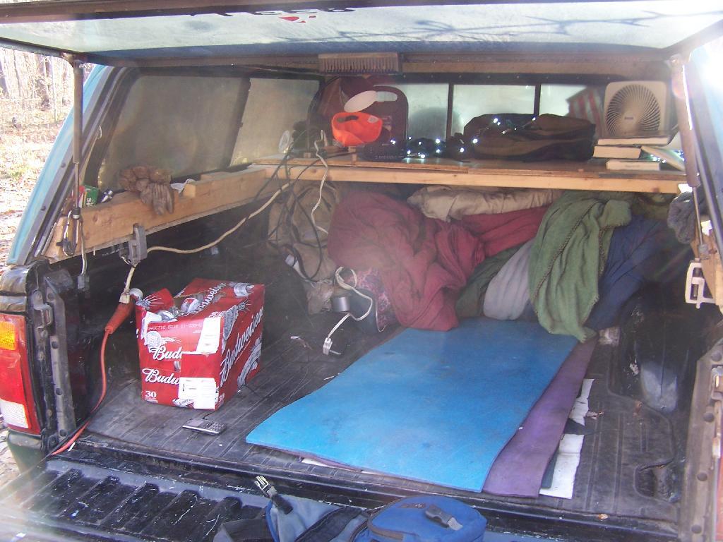
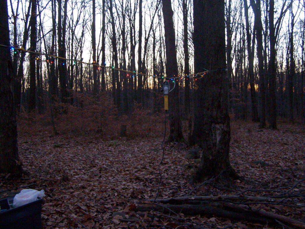
I strung a line out to hang up the Christmas lights I used for ambiance and background lighting at night, and built a campfire in the firepit. I was moving stuff between the cab and the back of the truck when I took this picture.
Inside my camping rig when I was camping up there.
In the evening, watching the sun set, a little after 5 pm…
There are many things to see at Allegheny National Forest (all free) from the Rim Rock to views from Jakes Rocks to the views of Reservior. There probably was much more I could have seen had I spent more time camping up there.
… I hope you enjoyed this brief look back from my experiences camping up at the Allegheny National Forest in November 2010.