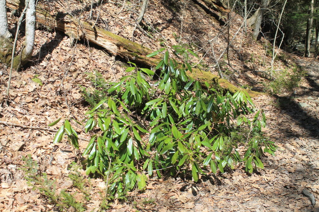
campsites
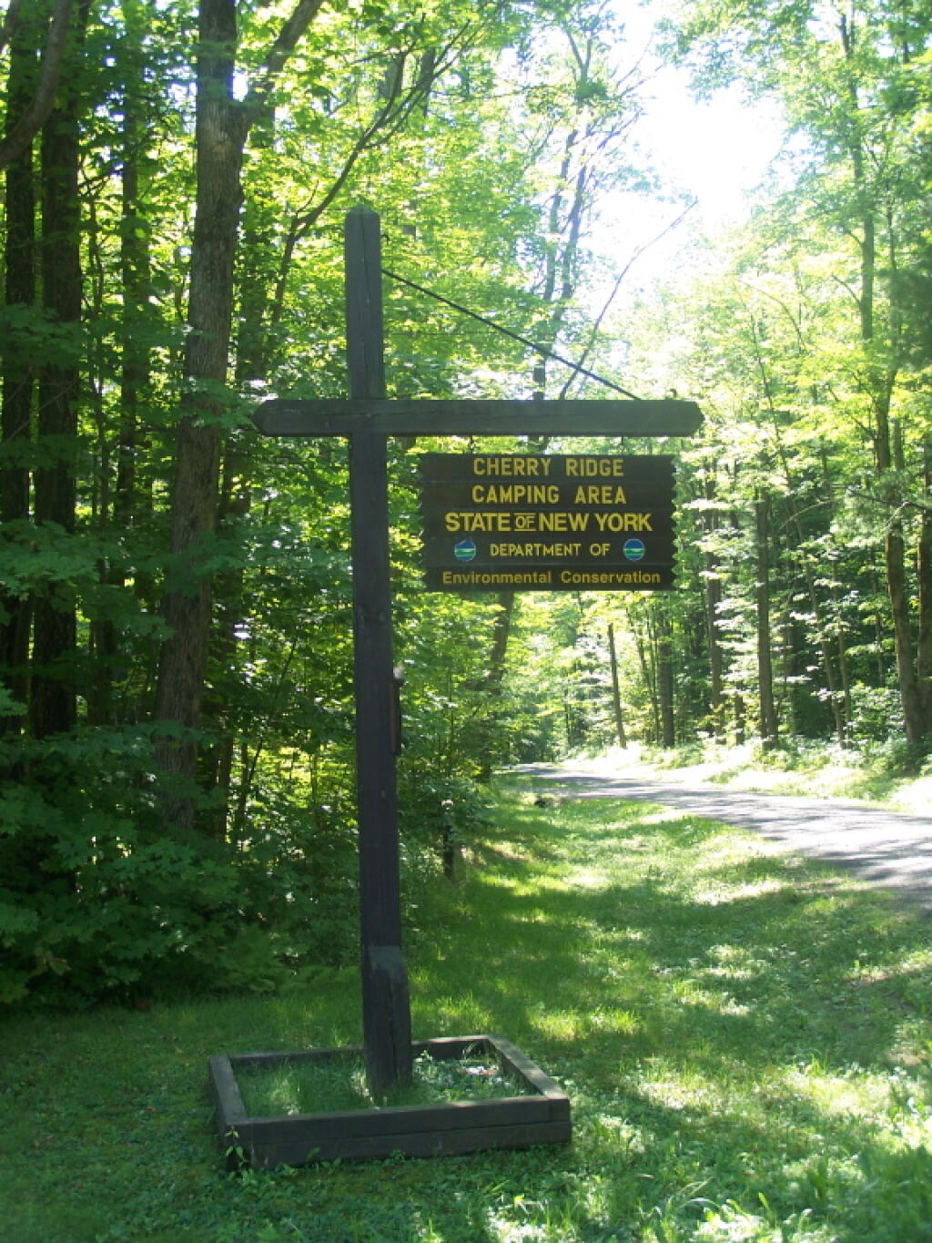
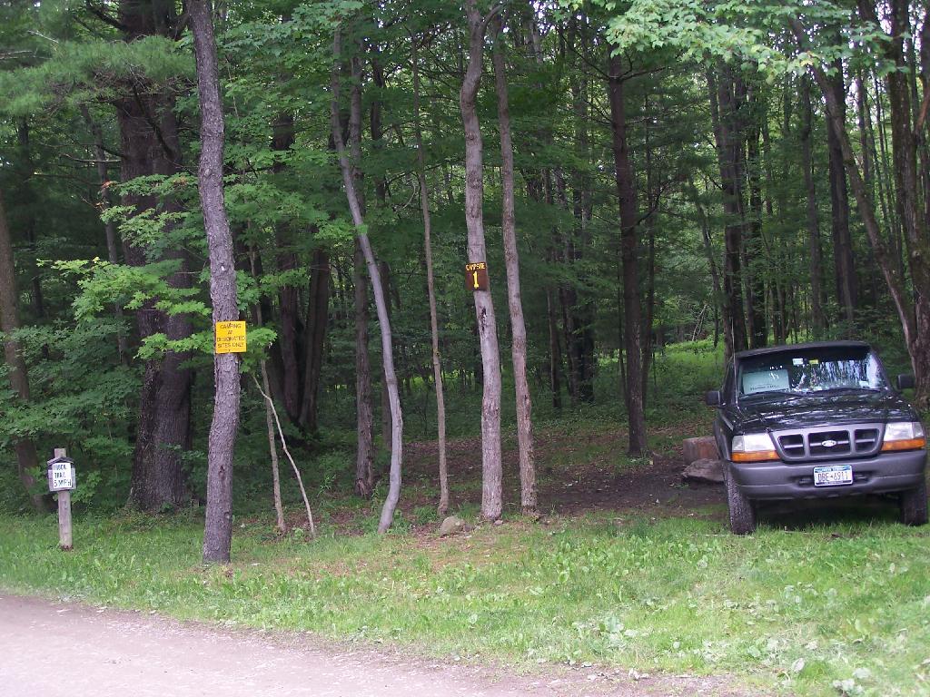
Campsites and Lean-Tos in Catskill Park
This table is based on the data in the Catskill State Land Master Plan. I believe most of these sites are tent or lean-to sites, some fairly far back in.
| Catskill F.P. Unit | Designated Campsites | Lean-Tos | Major Desinations | Unit Yearly Usage |
|---|---|---|---|---|
| Big Indian Wilderness | 5 | 6 | n/a | 4,500 |
| Hunter – West Kill Wilderness | n/a | 2 | Hunter Mountain, West Kill Mountain | n/a |
| Indian Head Wilderness | 10 | 3 | Echo Lake | 8,000 |
| Slide Mountain Wilderness | 29 | 10 | Slide Mountain | 23,000 |
| Windham-Blackhead Wilderness | n/a | 2 | Blackhead Mountains | n/a |
| Balsam Lake Mountain Wild Forest | 15 | 5 | Alder Lake | 5,000 |
| Bluestone Wild Forest | n/a | n/a | n/a | n/a |
| Colgate Lake Wild Forest | n/a | n/a | Colgate Lake | n/a |
| Delaware Wild Forest | n/a | n/a | n/a | n/a |
| Dry Brook Ridge Wild Forest | n/a | n/a | Dry Brook Mountains | n/a |
| Halcott Mountain Wild Forest | n/a | 1 | n/a | n/a |
| Elm Ridge Wild Forest | n/a | 1 | Windham High Peak | n/a |
| Overlook Mountain Wild Forest | n/a | n/a | Overlook Mountain | n/a |
| Phoenicia – Mt. Tobias Wild Forest | 0 | 2 | n/a | n/a |
| Rusk Mountain Wild Forest | n/a | n/a | n/a | n/a |
| Shandaken Wild Forest | 10 | n/a | n/a | n/a |
| Sundown Wild Forest | 60 | 0 | Kaaterskill High Point | n/a |
| Willowemoc Wild Forest | 2 | 12 | n/a | n/a |
| Crystal Lake Wild Forest | n/a | n/a | n/a | n/a |
| Catskill Total | 131 | 44 | – | – |
Campsites and Lean-Tos in DEC Region 7 (Central NY)
Today we look at Campsites and Lean-tos and other “developed” camping opporunties in DEC Region 7, which consists of lands in Central NY Counties of Broome, Cayuga, Chenango, Cortland, Madison, Onondaga, Oswego, Tompkins and Tioga, and is based on data in Region 7 Recreation Master Plan.
Current 85 Designated Campsites/Lean-Tos.
|
|
1 DEC Camping permit required. Call (607) 674-4036 to have a permit mailed to you.
2DEC Camping permit required from April 15-October 15th. Call (607) 674-4036 to have a permit mailed to you.
3 Vehicle accessible.
4Horse Assembly and Camping-area.
5 Currently undesignated sites (lacks “Camp Here Markers”) on an old loop road that was part of CCC Camp in Taylor Valley.
Related Maps.
DEC’s Future Plans for Region 7
1. Develop 31 additional campsites in Region 7. Twenty-eight of these will be open campsites and three will be lean-tos. A portion of the new campsite development will occur on Hall Island State Forest (Oswego 10), as noted in items b and c. The Department will consider the option of permanently closing any or all of the Island campsites if patrol or enforcement problems become an issue. Fiscal constraints and public demand will determine if any additional campsites are to be developed within the Region.
a. Development of the new campsites will be in compliance with the guidelines for access by people with disabilities.
b. Develop 12 to 15 open campsites on Hall Island State Forest (Oswego10). These campsites will be located on the south side of the Salmon River Reservoir and will only be accessible by water. A permit will be required to occupy these sites. Three of these sites will be developed for people with disabilities . c. On Hall Island State Forest (Oswego 10), upgrade two designated campsites on Burdick Island and two campsites on Huckleberry Island in the Salmon River Reservoir. A permit will be required to occupy these sites. Two of these sites will be developed for people with disabilities.
d. Develop one lean-to campsite along the Finger Lakes Trail on Perkins Pond State Forest (Chenango 22) in the Town of Otselic.
e. Develop two open campsites on the Marsh Pond State Forest (Broome 4) near the pond. One of these sites will be developed for people with disabilities.
f. Develop three campsites on Robinson Hill State Forest (Tioga 3) near Tricounty Pond. The exact number of sites will be determined from local demand. One or two of these sites will be developed for people with disabilities. Install kiosk and develop area brochure.
g. Develop one lean-to on the Genegantslet State Forest with access from Creek Road. The access trail to the lean-to will be approximately 0.7 miles of hiking trail.
h. Develop an open campsite in stand C-7 on Long Pond State Forest (Chenango 35) designed for access by canoe or boat.
i. Develop three open campsites on Oakley Corners State Forest (Tioga 2). One of these sites will be developed for people with disabilities. Use of these sites will be by permit only.
j. Upgrade and designate three formal sites on the Salmon River State Forest (Oswego 8). A permit will be required to occupy these sites.
k. Rebuild the lean-to along the trail on Chateaugay State Forest (Oswego 4 & 5).
l. Build one lean-to on Cuyler Hill State Forest (Cortland 6).
m. Inspect and, if necessary, repair or replace lean-tos on the Finger Lakes Trail.
2. Propose a change to the current regulations to address the conflicts encountered with camping within 150 feet of a road.
a. Propose a change to the current regulation that prohibits camping within 150′ of any road. The intent of this proposal is to accommodate the style of camping that is common during hunting season.
3. Provide camping opportunities on State Forests for people with disabilities. These ADA compliant facilities will be distributed throughout the Region. Most of the designated campsites will have fire rings and several of the sites will have picnic tables. Fire rings, picnic tables and benches will be of Universal Design. Accessible latrines will be located at areas with several campsites, such as Long Pond, Stoney Pond and Charles E. Baker State Forests. All camping areas that can be driven to will have at least one accessible parking space. a. Make alterations to the Moscow Hill campsites on the Charles E. Baker State Forest (Madison 1 & 4) so that at least four of the sites are accessible by people with disabilities.
4. Designate 14 campsites at Moscow Hill, Madison 1, camping area.
5. Maintain 85 existing campsites.
6. Propose a regulation to prohibit camping at Nanticoke Lake Multiple-Use Area and Redfield Island Day-Use Area
7. Remove the lean-to on New Michigan State Forest (Chenango 5) This lean-to is structurally poor and is no longer located on an active trail. The lean-to proposed in 1. d will replace this lean-to.


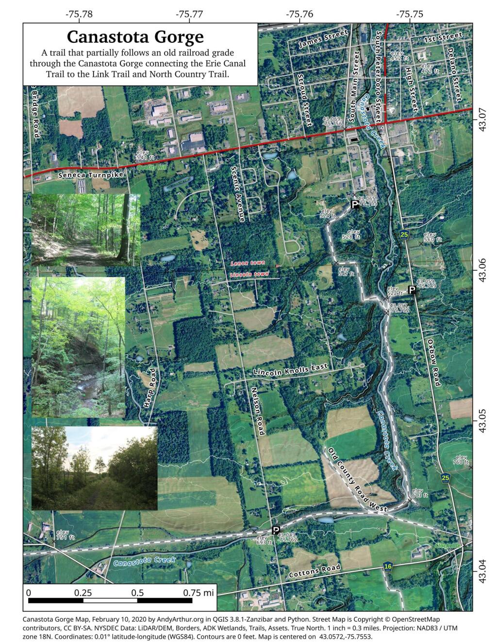
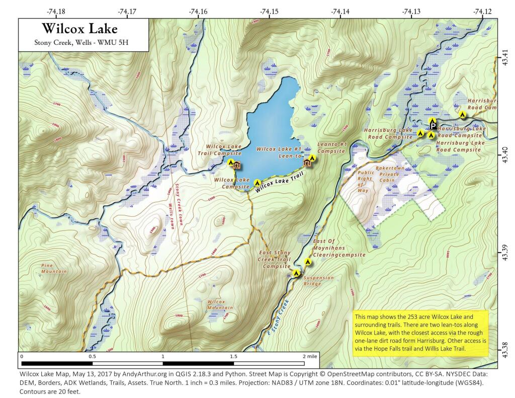
Moose River Plains Maps (September 2011)
This past week, I decided to re-do the Moose River Plains Maps I had previously rendered in QGIS. I got some new data from the DEC, and wanted to simply the existing maps by taking off Wilderness Boundaries, and other details not of particular interest to hikers, campers, and kayakers. I also removed campsites that are in process of being removed or relocated under the finalized Unit Plan for the area. Be aware that the elevation on these maps is metric, as that’s what the NYSDOT Topographic Maps use in this region.
Click on any of the maps to display the high resolution version, that you can download and save, or print. Laser printers are great, especially for the Cedar River Flow Maps, as they’ll keep the ink from the running. All of these maps are free for you to use and distribute as they are based on public data. If you have ideas on how to improve these maps or seek similar maps of the area of other trails or locations, please feel free to contact me at andy@andyarthur.org.
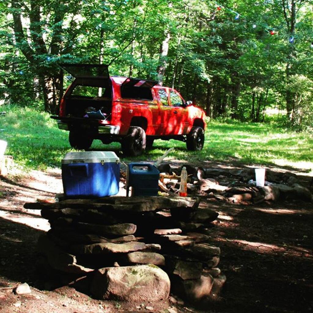
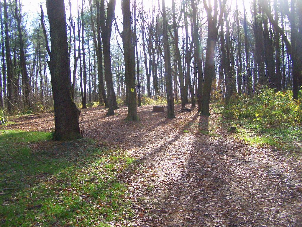
There is no charge to camp here, however if you plan on staying more then 3 nights, you will have to a get a free permit from the forest ranger. Most campsites offer picnic tables, fireplaces or rings, and outhouses. Moose River Plains are all back country dirt roads, with a speed limit of 15 MPH, and there are some rough sections on the roads. As of September 2011, all of the roads shown on these maps are open.
Moose River Plains Camping Area.
Roads are red, hiking trails are black dotted lines on the map. All of the campsites in pink shaded area (“Moose River Plains Camping Area”) offer vehicle accessible camping including RVs and other tow-behind campers. The campsites outside of the “Camping Area” — specifically those on Otter Brook Road — will in the future be reserved for tent camping (most with vehicle accessability) except during Big Game Season when campers will be allowed at all sites. Most of the other trails with campsites on them offer wheelchair or mountain bike accessiability, as they tend to be gravel paths.
Moose River Plains Campsites.
Note: Campsites are numbered starting from the east, as you are coming from Cedar River Flow, heading towards Limekiln Lake. Many campsites have been closed or added over the year, and that’s why there are many gaps in the numbering system.


Cedar River Flow and Wakely Dam.
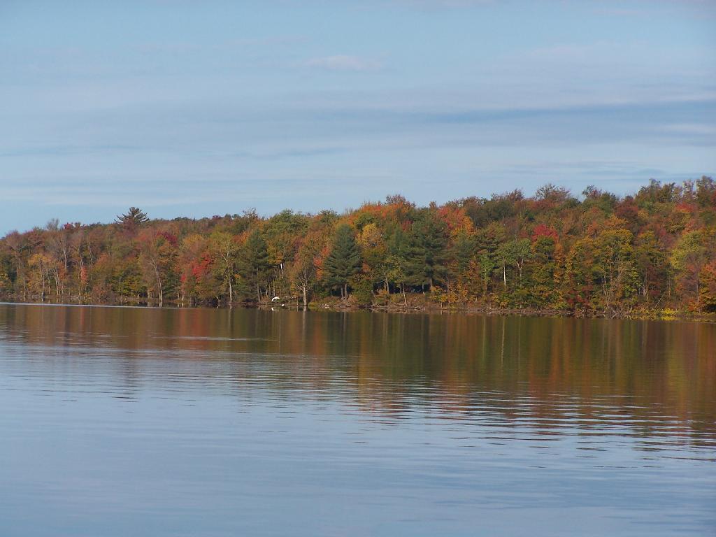
Cedar River Flow is a popular destination at Moose River Plains. In many ways it’s the gateway to Moose River Plains, as you reach Wakely Dam, which holds back the waters of Cedar River Flow as one of your first destinations heading West on Cedar River-Limekiln Lake Road from Indian Lake.
The Cedar River Flow is a popular lake for canoeing and kayaking. There are several designated and undesignated campsites along Cedar River Flow, with the designated ones shown on the map. There are also a handful of campsites, closely grouped together at Wakely Dam. The Cedar River is navigable for several miles upstream, and some people will paddle to the Lean-To on Sucker Brook Trail.
Wakely Pond and Wakely Dam Areas.
Along the Northville-Placid Trail near Wakely Pond there are several designated tent campsites. A map of Wakely Pond-Wakely Dam Areas, and the rapids downstream of the Cedar River Flow.
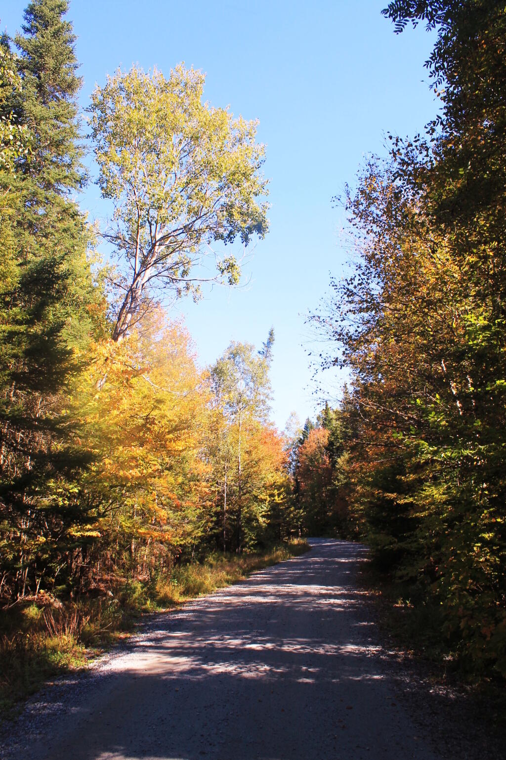
Wakely Mountain Firetower.
By far one of the most popular destinations in the area is the Wakely Mountain Fire Tower. It offers truly spectular views of Moose River Plains, Blue Ridge Wilderness, West Canada Wilderness, Fulton Chain of Lakes, and even the High Peaks.
Other Popular Hikes.


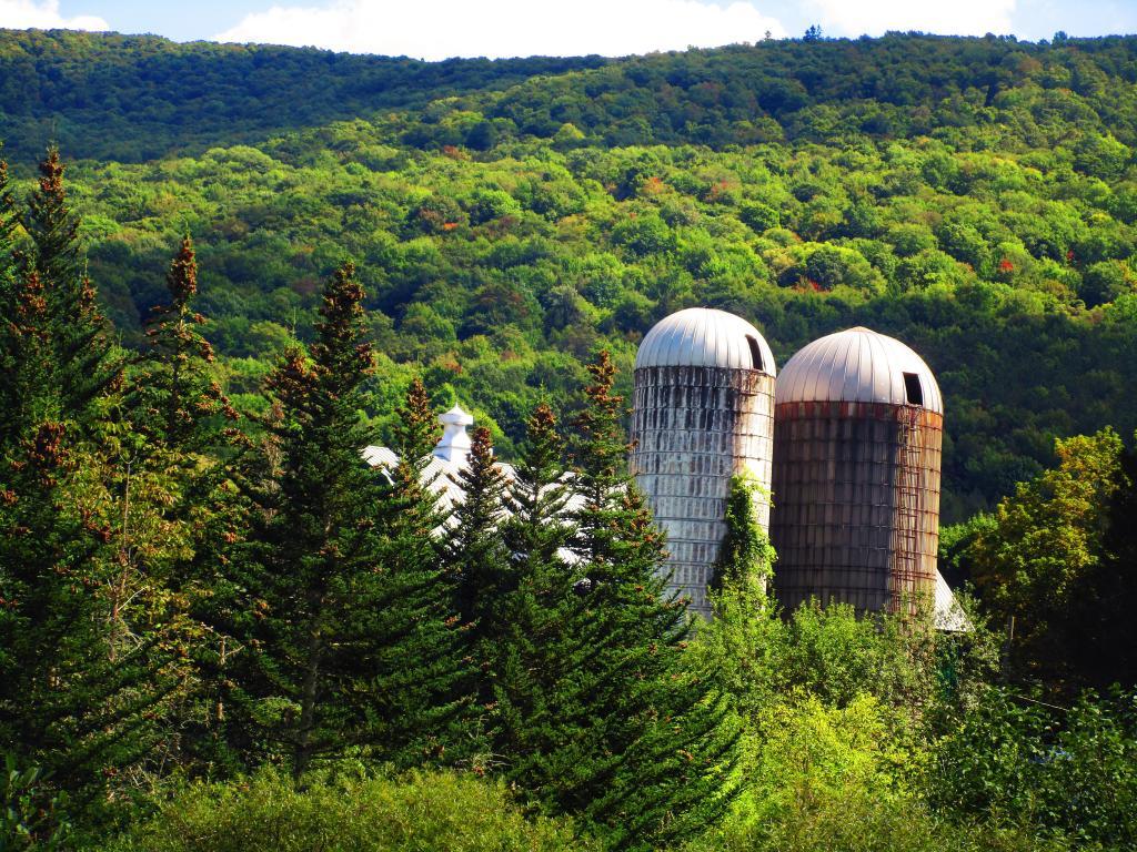
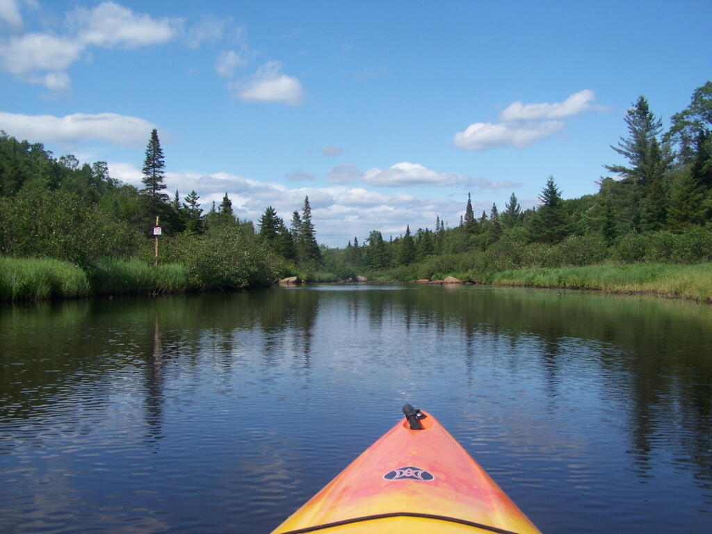
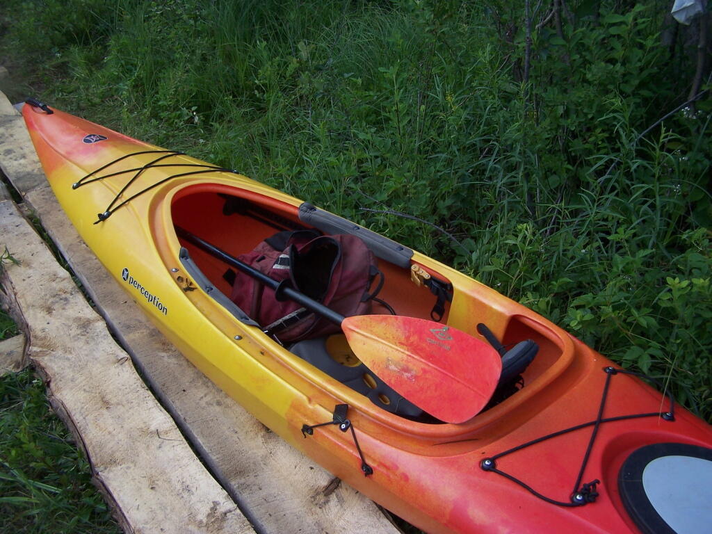
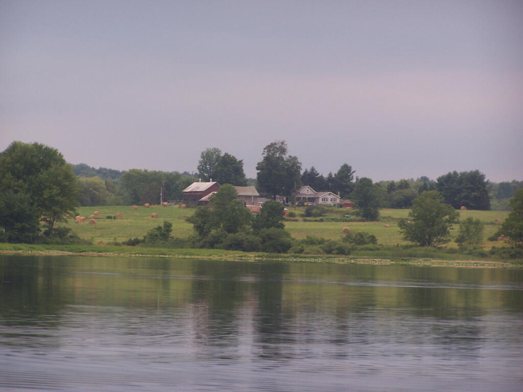
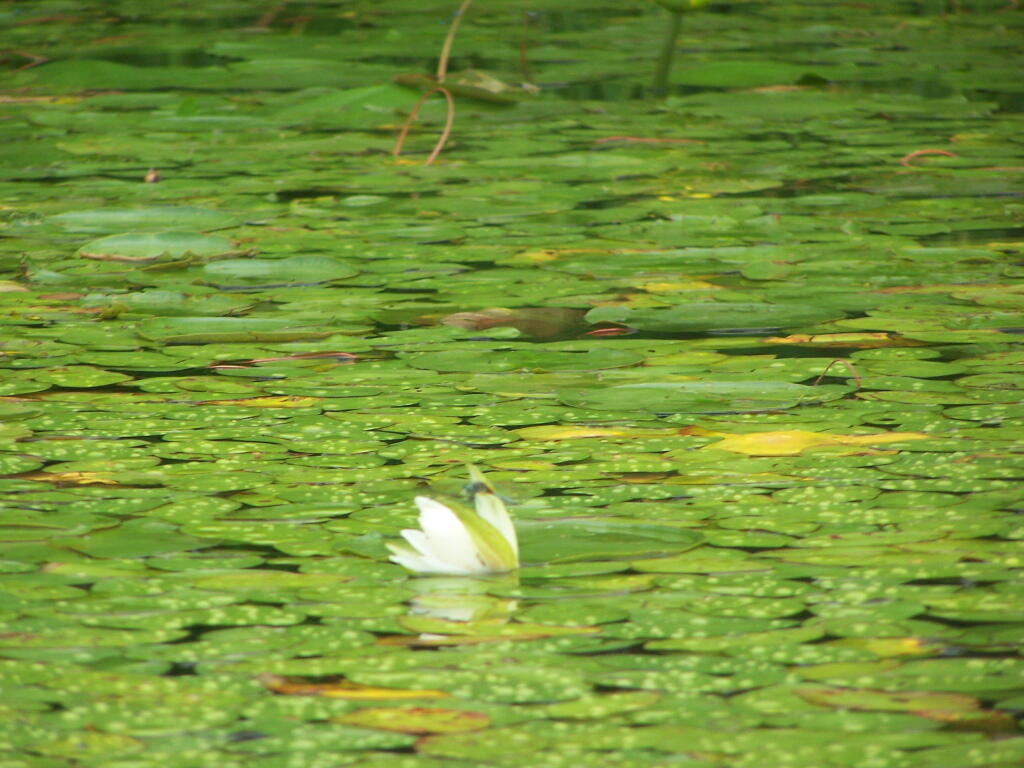
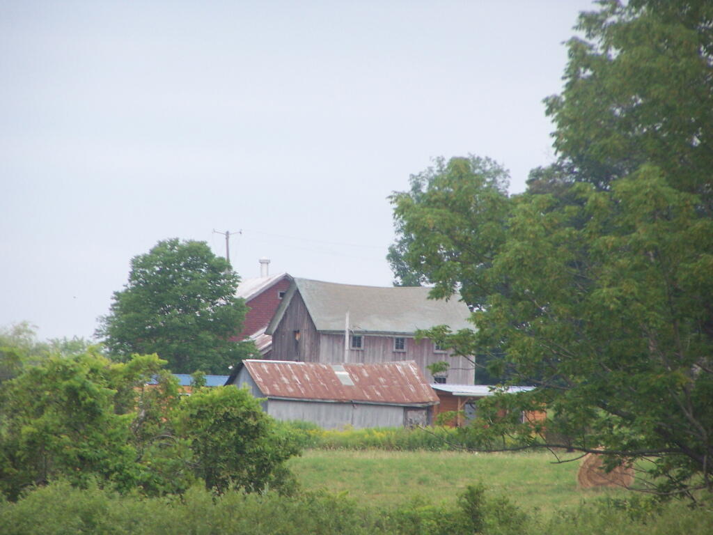
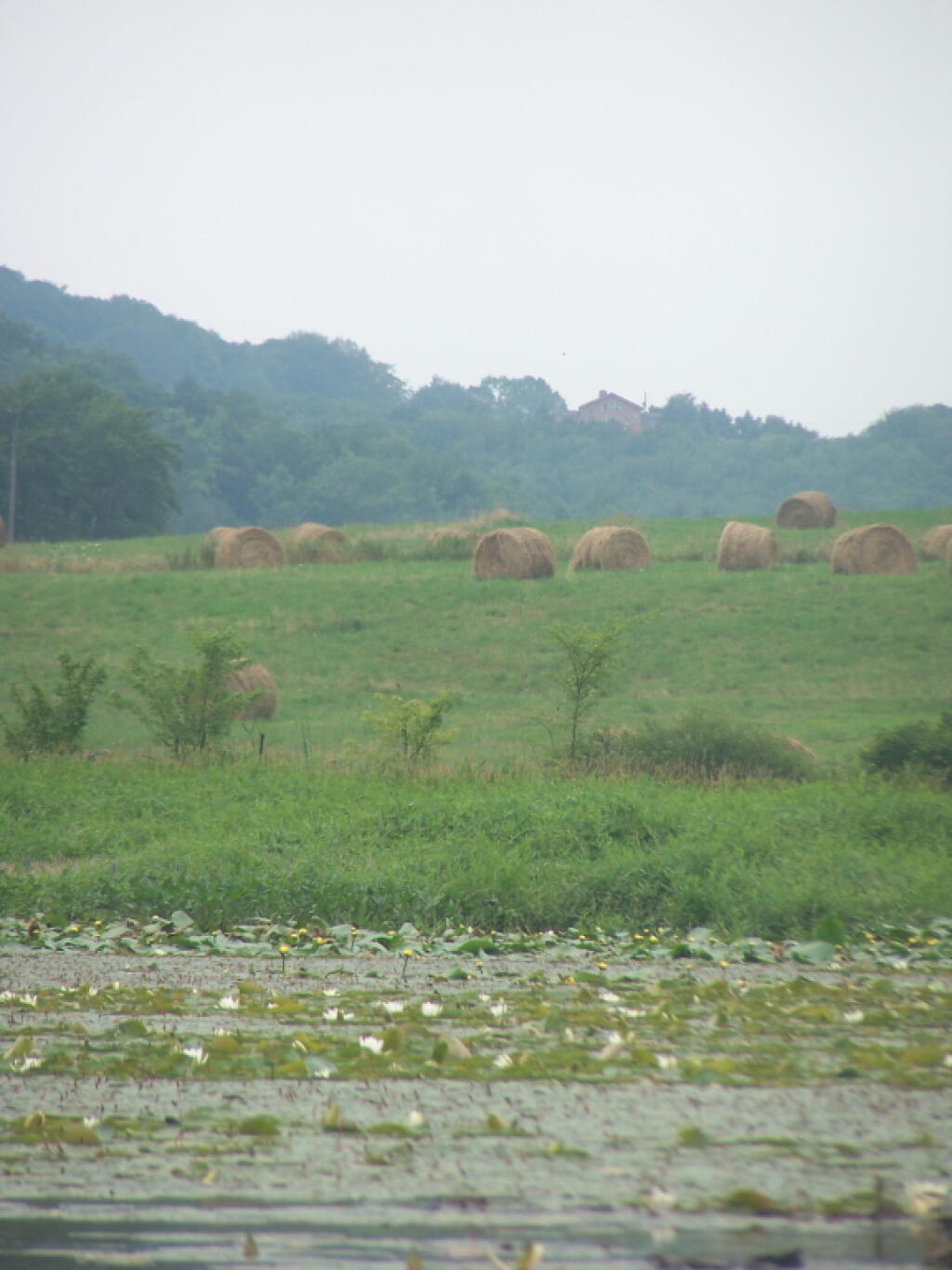
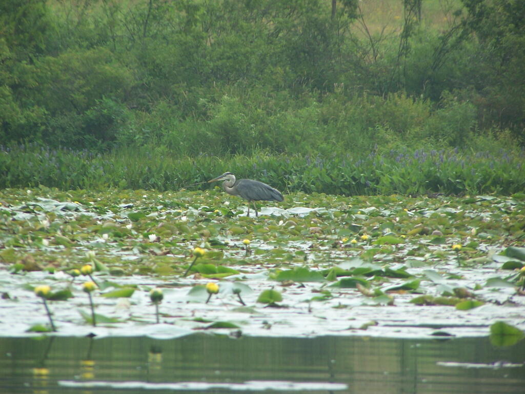
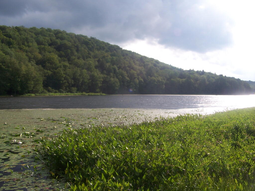
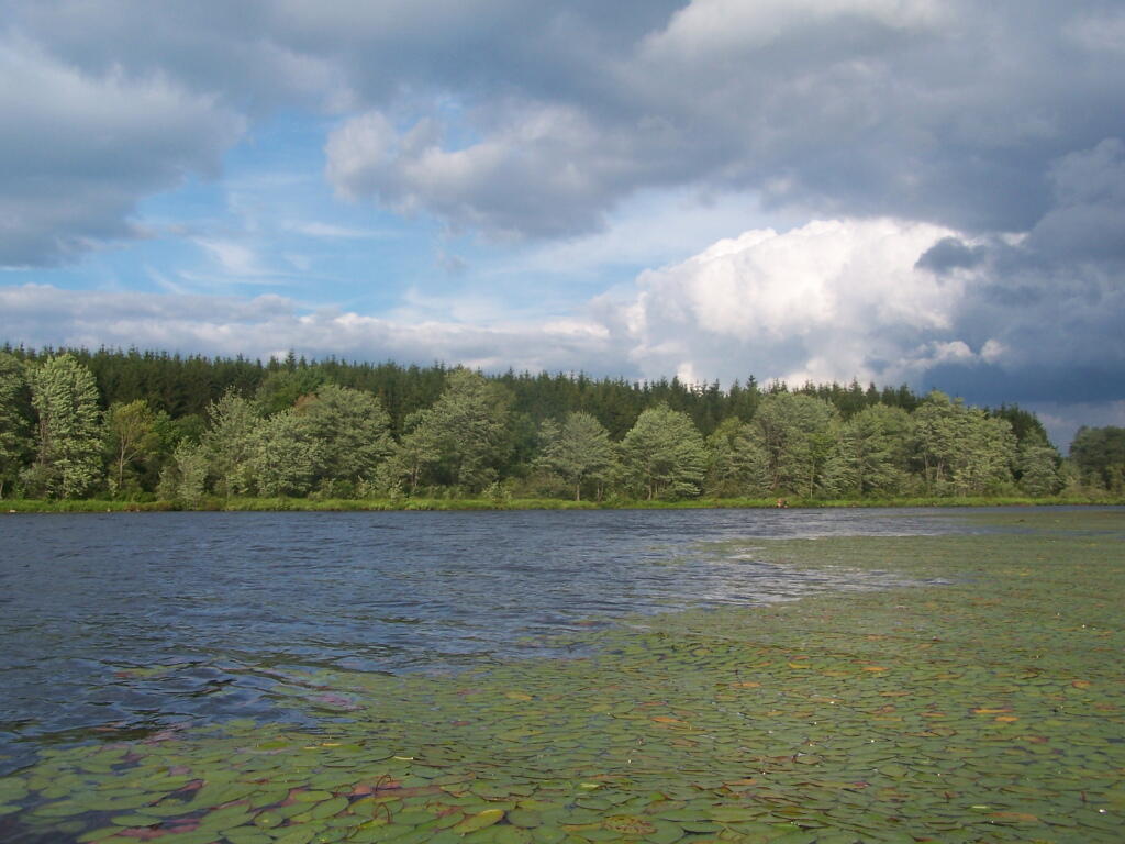
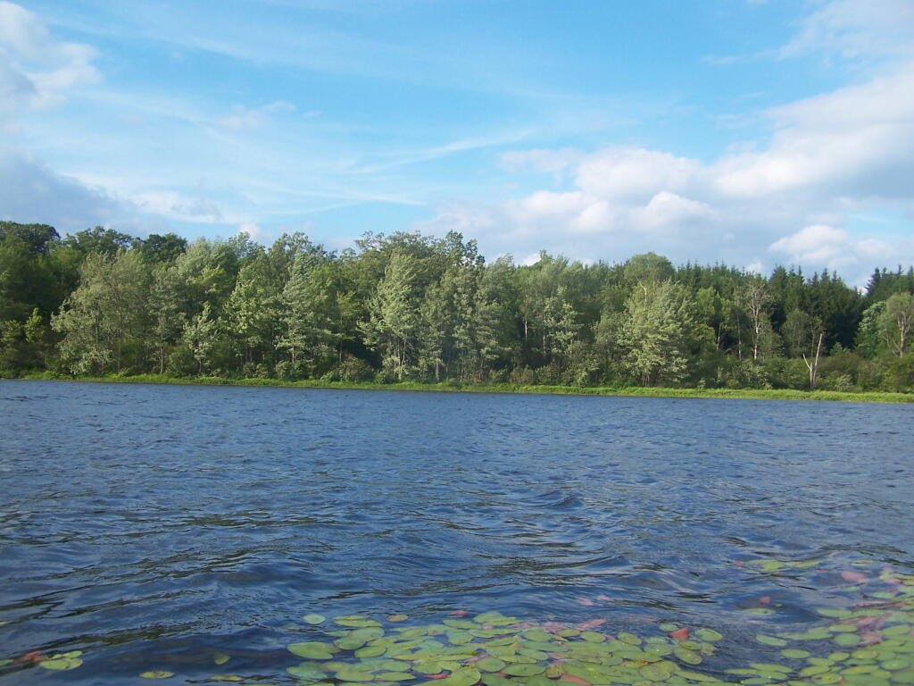
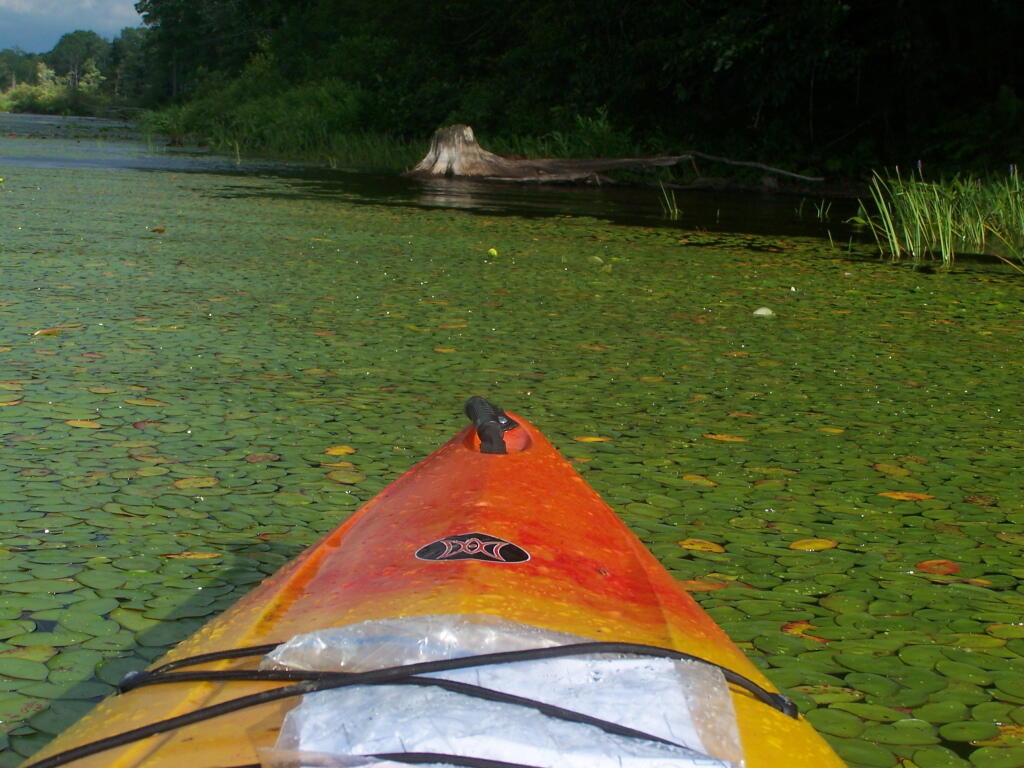
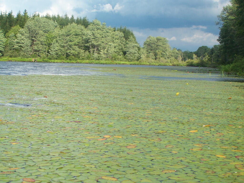
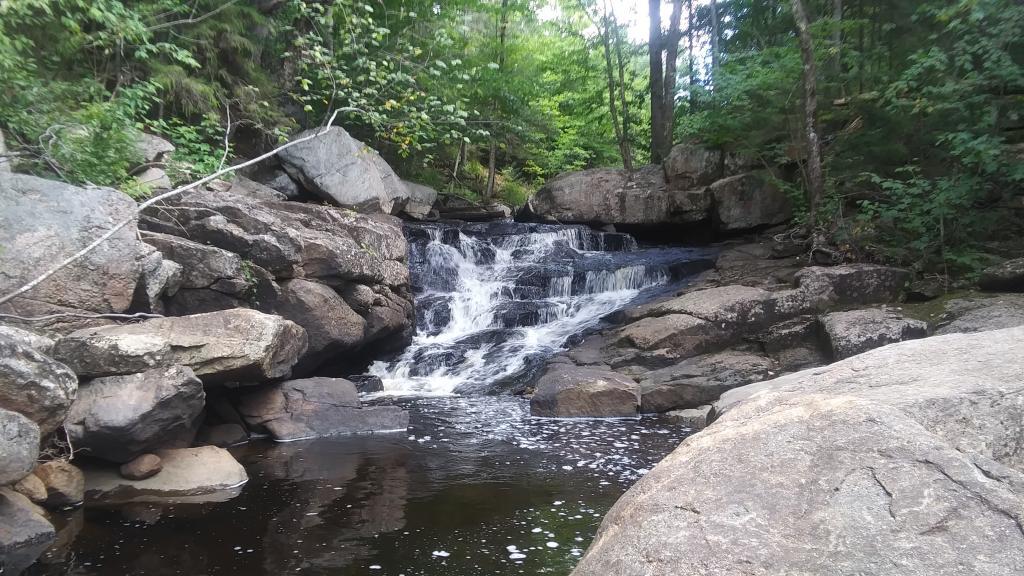
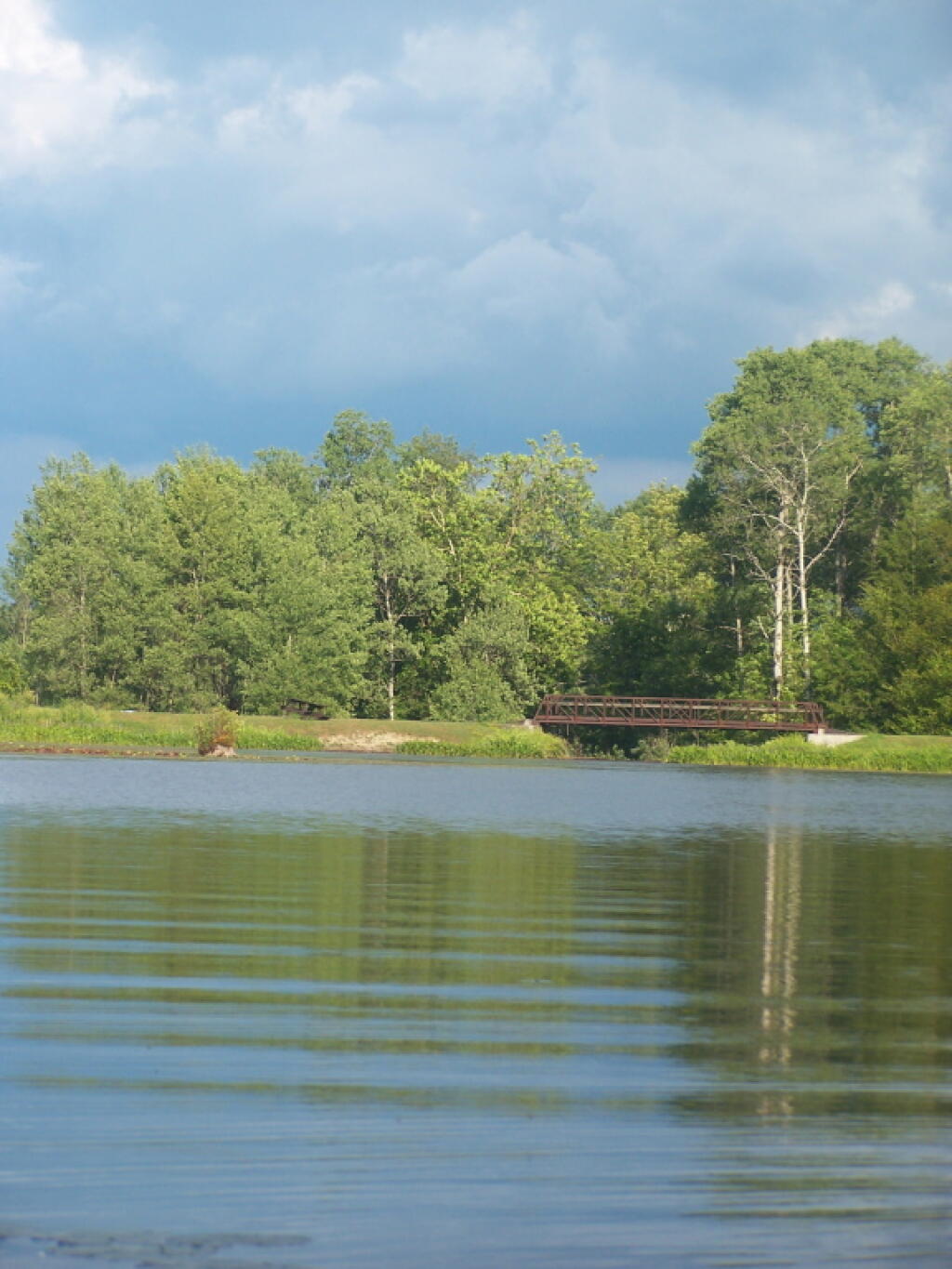
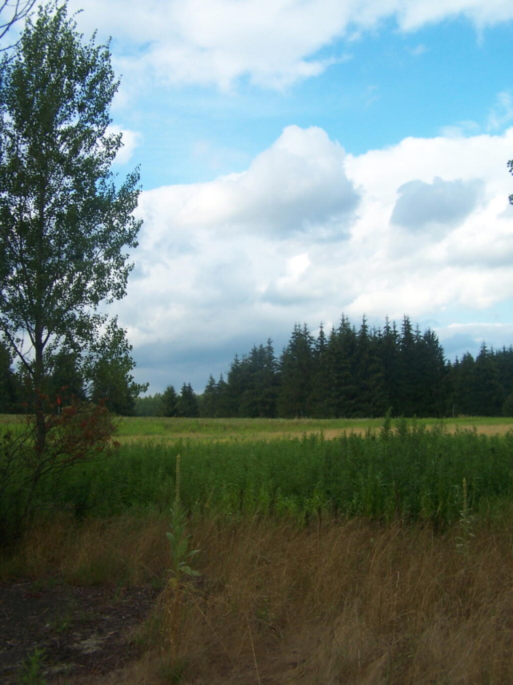
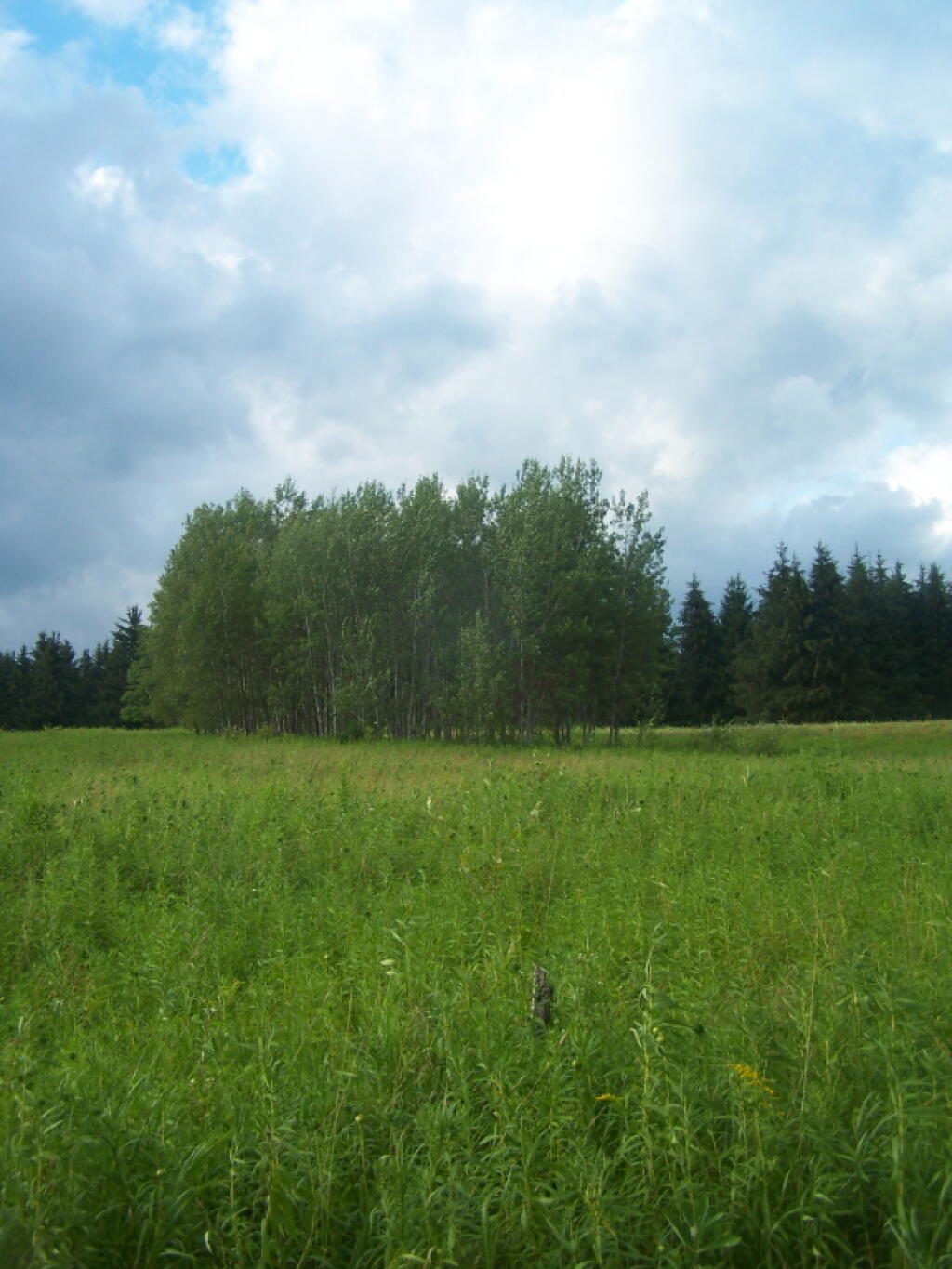
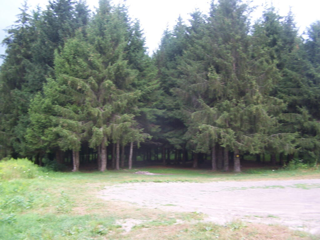
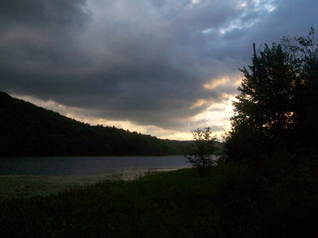
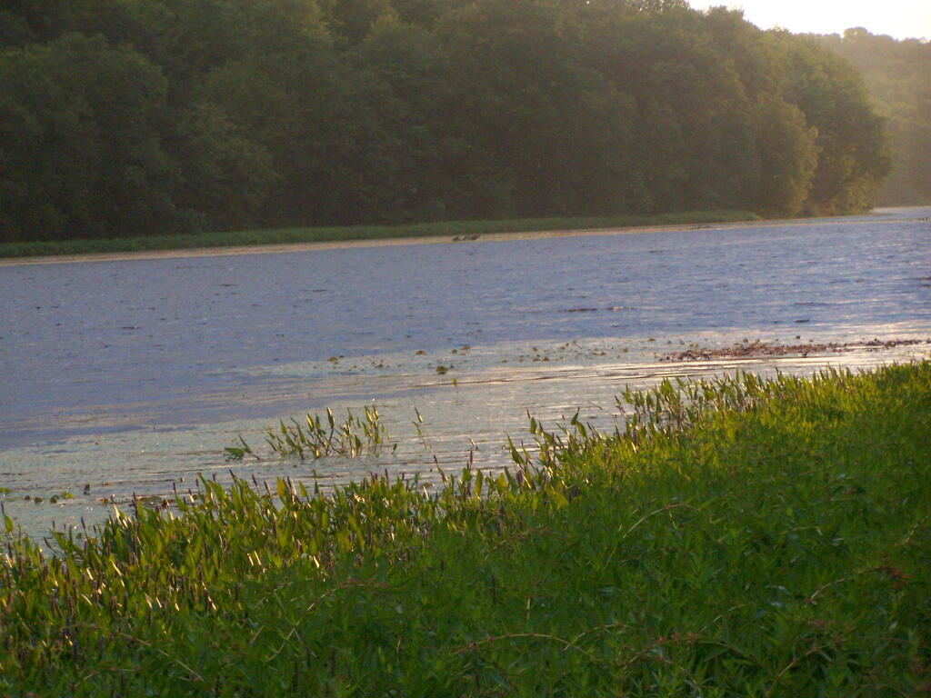
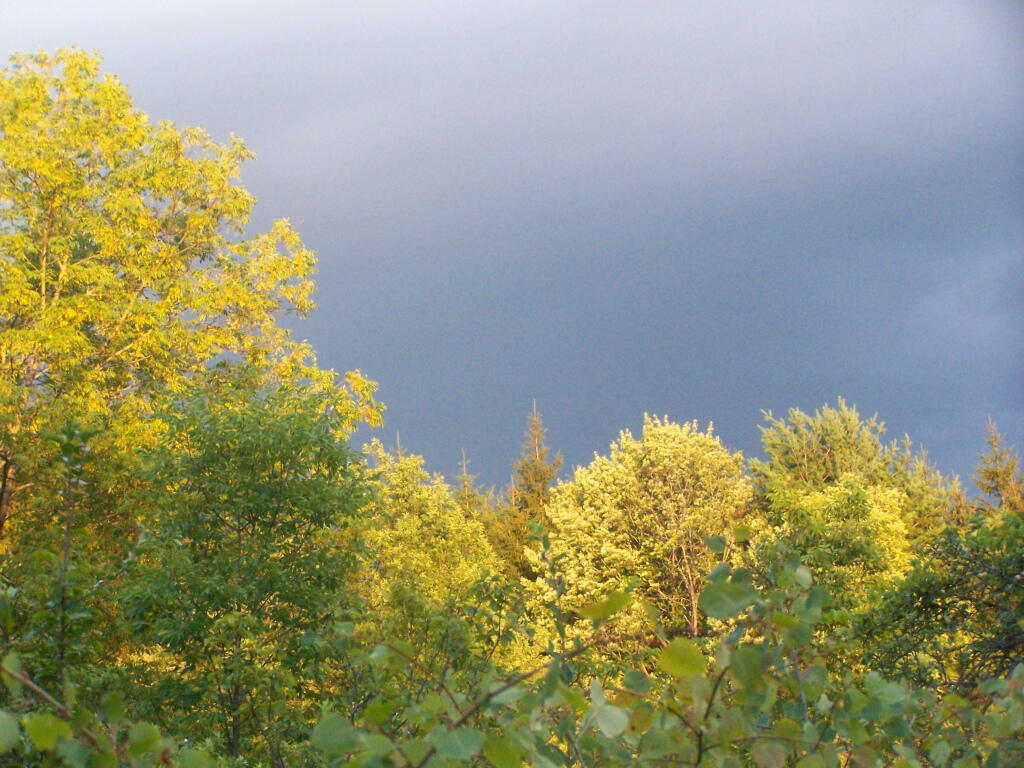
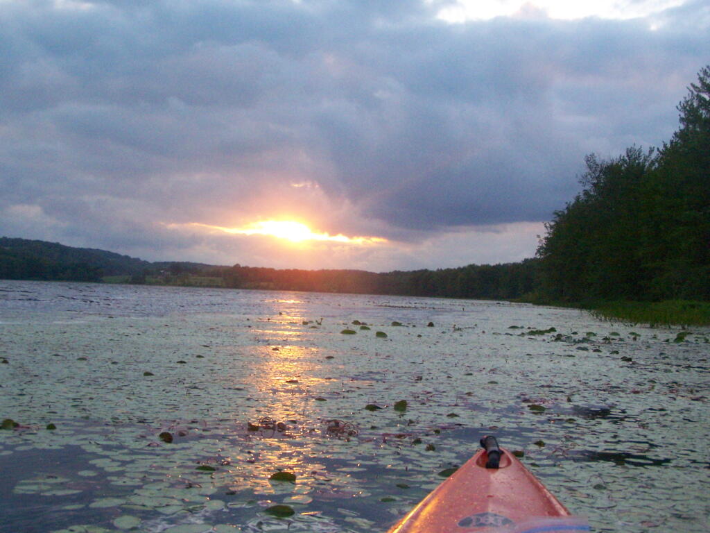
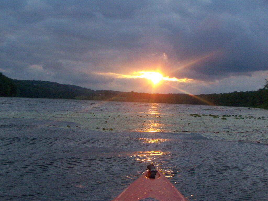
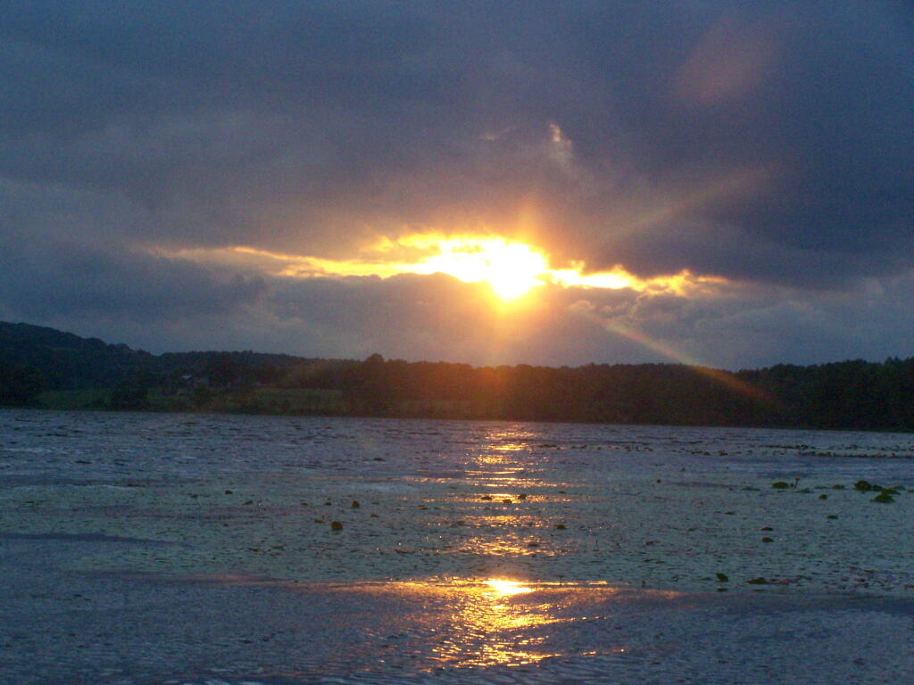
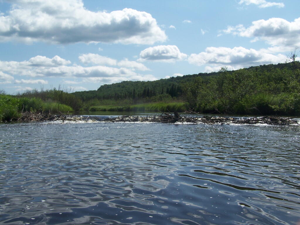
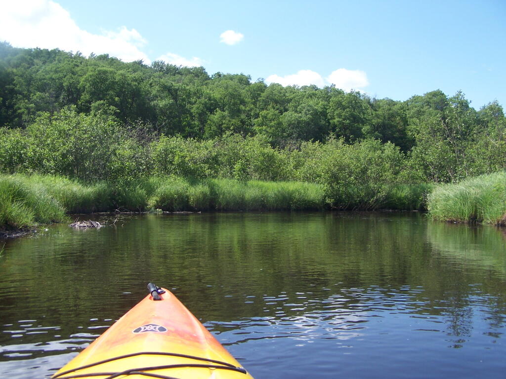
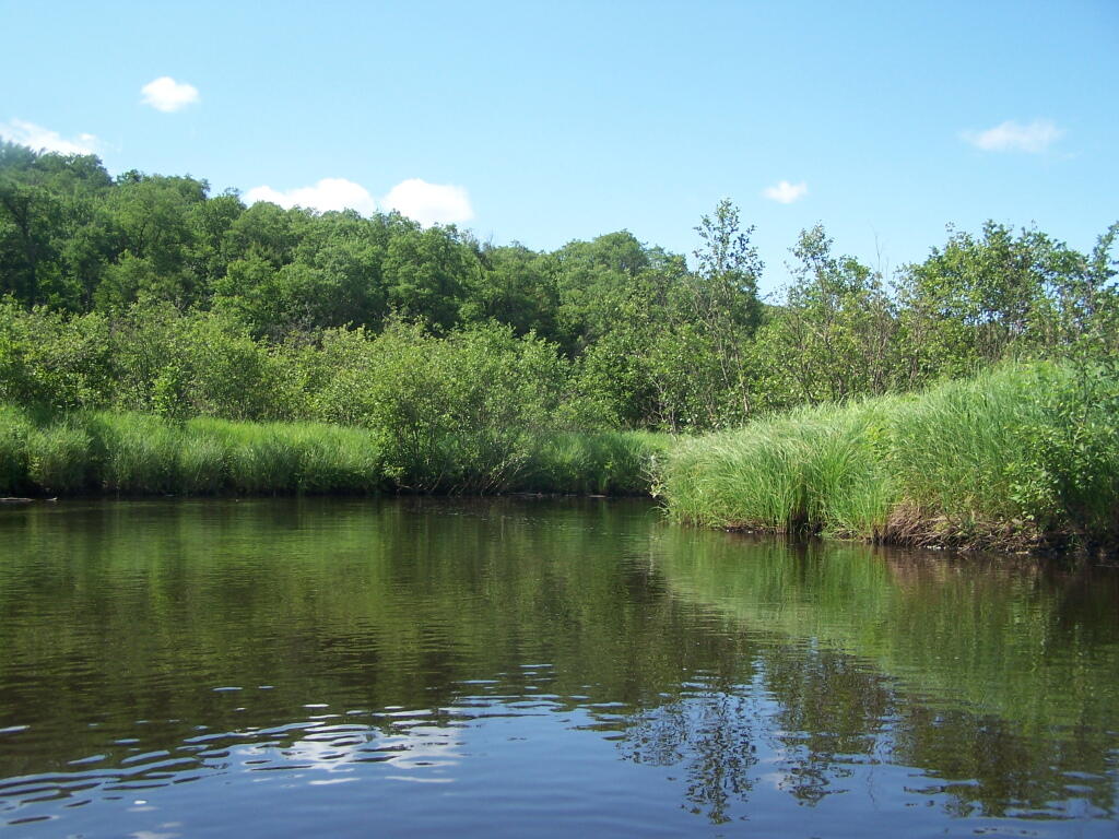
Kayaking Long Pond
Long Pond offers 8 designated roadside campsites, and a handful of other informal campsites on the other side of the lake. A large man-made lake in an agricultural landscape of Chenango County, it offers some excellent fishing and nice views, especially for Chenango County.
This map below shows where each picture was taken roughly in the area.


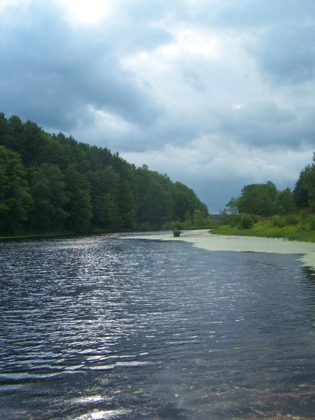
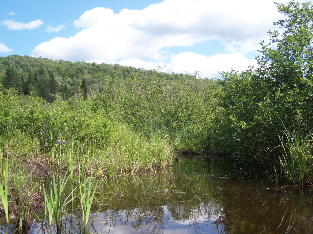
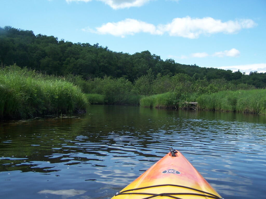
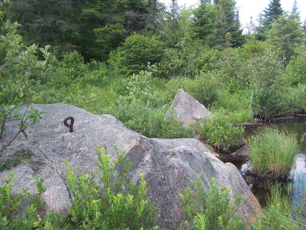
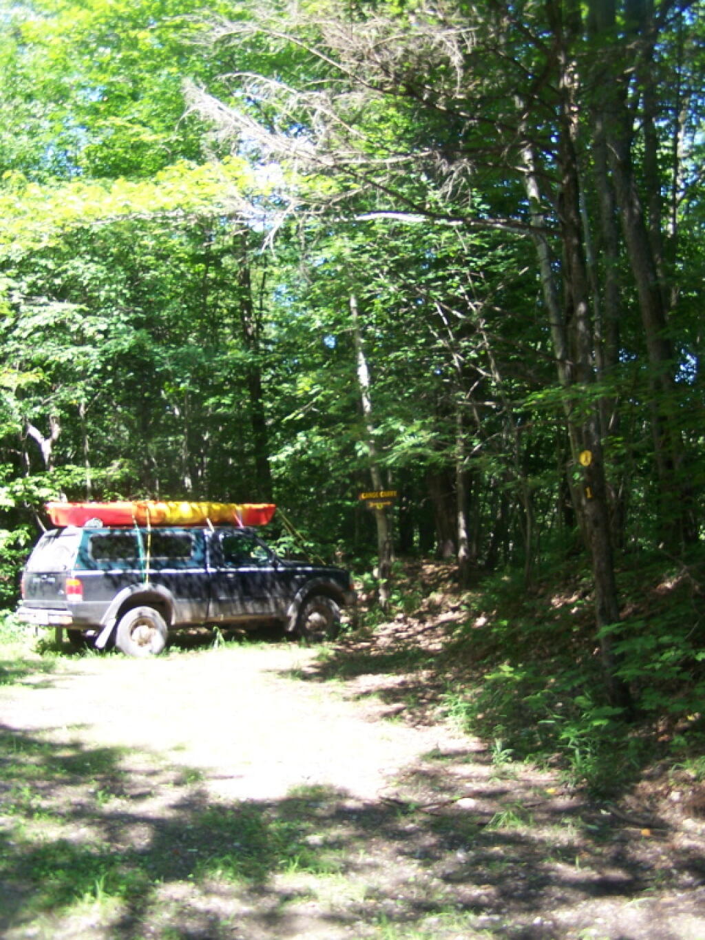
Kayaking Little River
The Little River offers some interesting kayaking opportunities, and can be part of a roadside camping experience at Streeter Lake in Aldrich. Here is a map, you can click to expand and print up.
![Untitled [Expires December 16 2024]](https://andyarthur.org//data/photo_008174_large.jpg)