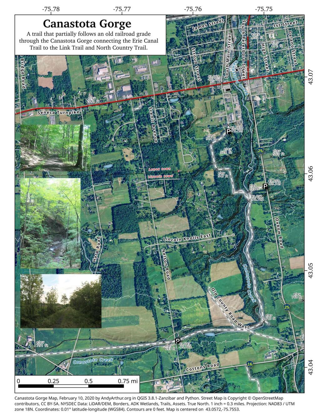
For the first year of doing topographic maps, I relied extensively on using NYSDOT topographic maps, I originally downloaded from the NYSGIS consortium website. The NYSDOT topographic maps have a lot of good information on them, an in many ways have the most accurate topography.
But what I’ve also found with those maps is they have several real limitations…
1) They Don’t Scale Well.
NYSDOT topographic maps are designed to viewed at 1:2400 feet ratio, as they are 7.5″ quads. You can get away with rendering them anywhere between 1:1800 to 1:2600, but beyond that the text looks too small, too crowded, or two pixelated. For smaller parks and larger areas, NYSDOT topographic maps do not work well.
2) Unneeded Information and Clutter.
DOT Topographic Maps try to suit the need of any user, and include information like town lines and other jurisdictional information that is unnecessarily for the average outdoors person.
3) Outdated Information.
Often topographic maps have dated information on man-made boundaries and buildings. The state often buys new land, demolishes existing buildings, and closes off trails. Old trails appear on topographic maps, as do labels such a “Restricted”, even though to this day such roads may be valid, despite the incorrect or outdated information on topographic maps.
4) Metric Scale; Differentiating Contour Scales.
Metric elevations are maddening for anyone trying to calculate their elevation from select DOT topo maps, and often when you load multiple topographic maps, they do not fit together seamlessly, as one will be using one unit for contours, while another will use another unit. Contour scales throughout the state very widely, which when put together can be confusing.
On the other hand, topos do have some benefits…
1) Most Accurate Shorelines.
The Census Water Area and Liner Water Shapefiles from TIGER/Line are pretty accurate, but they are not nearly as good as topographic maps.
2) Wetlands.
Currently I don’t have any good source of data or wetlands to add to my maps. I probably should do more research into this, as I know the state does have wetland maps available — but how much of a PITA are they to use?
3) Buildings.
Topographic maps have many of the buildings on them. While this information can be outdated, it does provide useful information to the viewer of such maps. TIGER/line has some features, like cemeteries and some buildings, but this data set is tiny compared to what’s on the NYSDOT topographic maps.
There are something like 965 towns, cities, and villages in NY State, along with 64 counties. All of them have elected officials, and civil servants providing mostly state and federally mandated services.
The question is why do we even have local government anymore?
Nobody questions that the services of counties and towns are important, but in many cases they duplicate what the state currently does. Few governing decisions are made locally anymore. Most local government decisions are made with significant state involvement or influence, in the form of state regulations, state permitting, or in many cases actual laws passed by the state.
Local governments have a lot less freedom to make decisions that many pretend. All are highly dependent on state to go along with them. Most so-called local decisions are essentially decided at the state level. Local governments like to pretend they have significant control and power, but the reality is as creatures of state, and due to economic competition by surrounding towns, they are essentially powerless to decide their futures.
Local government is an idiom of an earlier era before modern communication techology, and modern transportation. Local government is from an era of horse and buggies. Local government tends to be stocked with well-connected political families and patronage. Local government tends to be totally ineffective, in an era when regional and indeed nationwide planning is needed, when any local decision can have vast impacts far beyond it’s own borders.
In a modern technocratic era, local decision making makes little sense, and squanders important public resources.
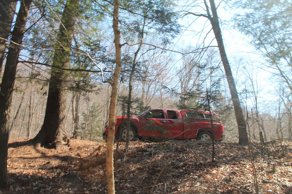
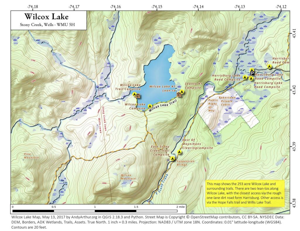
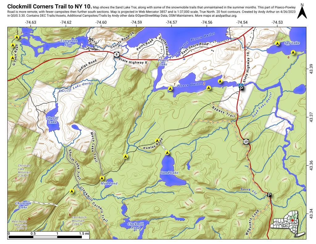
This past week, I decided to re-do the Moose River Plains Maps I had previously rendered in QGIS. I got some new data from the DEC, and wanted to simply the existing maps by taking off Wilderness Boundaries, and other details not of particular interest to hikers, campers, and kayakers. I also removed campsites that are in process of being removed or relocated under the finalized Unit Plan for the area. Be aware that the elevation on these maps is metric, as that’s what the NYSDOT Topographic Maps use in this region.
Click on any of the maps to display the high resolution version, that you can download and save, or print. Laser printers are great, especially for the Cedar River Flow Maps, as they’ll keep the ink from the running. All of these maps are free for you to use and distribute as they are based on public data. If you have ideas on how to improve these maps or seek similar maps of the area of other trails or locations, please feel free to contact me at andy@andyarthur.org.
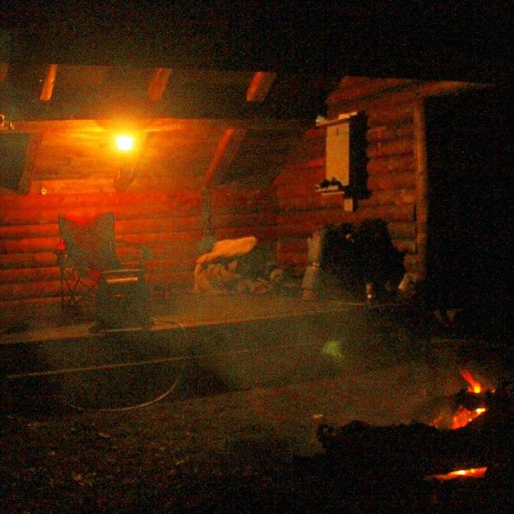
There is no charge to camp here, however if you plan on staying more then 3 nights, you will have to a get a free permit from the forest ranger. Most campsites offer picnic tables, fireplaces or rings, and outhouses. Moose River Plains are all back country dirt roads, with a speed limit of 15 MPH, and there are some rough sections on the roads. As of September 2011, all of the roads shown on these maps are open.
Moose River Plains Camping Area.
Roads are red, hiking trails are black dotted lines on the map. All of the campsites in pink shaded area (“Moose River Plains Camping Area”) offer vehicle accessible camping including RVs and other tow-behind campers. The campsites outside of the “Camping Area” — specifically those on Otter Brook Road — will in the future be reserved for tent camping (most with vehicle accessability) except during Big Game Season when campers will be allowed at all sites. Most of the other trails with campsites on them offer wheelchair or mountain bike accessiability, as they tend to be gravel paths.
Moose River Plains Campsites.
Note: Campsites are numbered starting from the east, as you are coming from Cedar River Flow, heading towards Limekiln Lake. Many campsites have been closed or added over the year, and that’s why there are many gaps in the numbering system.
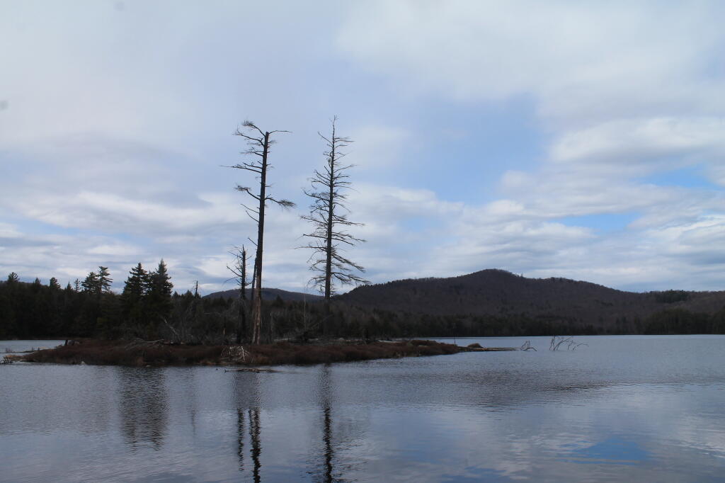
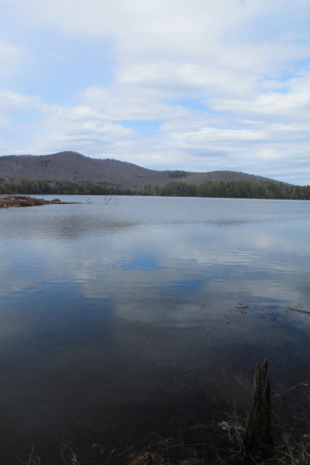
Cedar River Flow and Wakely Dam.
Cedar River Flow is a popular destination at Moose River Plains. In many ways it’s the gateway to Moose River Plains, as you reach Wakely Dam, which holds back the waters of Cedar River Flow as one of your first destinations heading West on Cedar River-Limekiln Lake Road from Indian Lake.
The Cedar River Flow is a popular lake for canoeing and kayaking. There are several designated and undesignated campsites along Cedar River Flow, with the designated ones shown on the map. There are also a handful of campsites, closely grouped together at Wakely Dam. The Cedar River is navigable for several miles upstream, and some people will paddle to the Lean-To on Sucker Brook Trail.
Wakely Pond and Wakely Dam Areas.
Along the Northville-Placid Trail near Wakely Pond there are several designated tent campsites. A map of Wakely Pond-Wakely Dam Areas, and the rapids downstream of the Cedar River Flow.
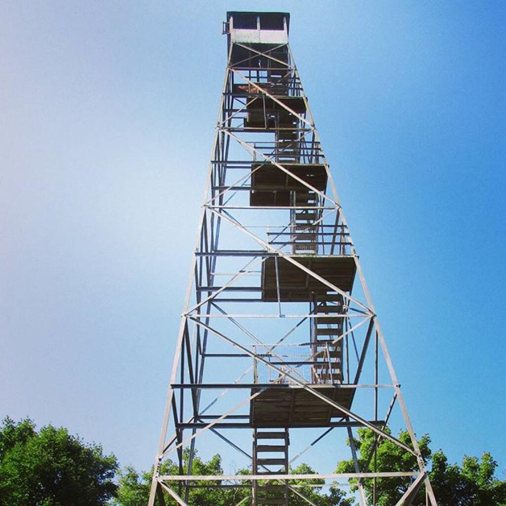
Wakely Mountain Firetower.
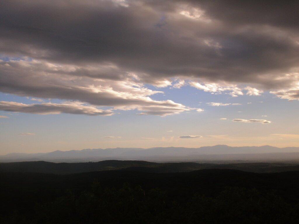
By far one of the most popular destinations in the area is the Wakely Mountain Fire Tower. It offers truly spectular views of Moose River Plains, Blue Ridge Wilderness, West Canada Wilderness, Fulton Chain of Lakes, and even the High Peaks.