I slept in this morning. But when I awoke, there really wasn’t much snow at all.

People said the yesterday was going to be awful, but it didn’t snow until after 5 pm.
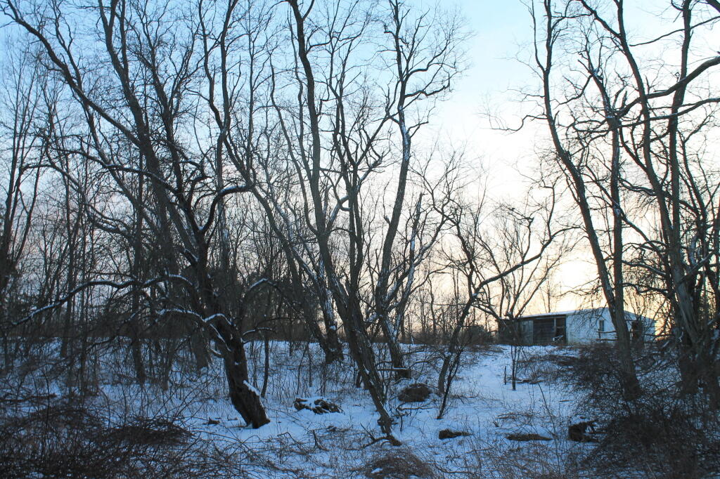
And in the evening, it just was a nuisance snow, by 10 AM, mostly all removed.
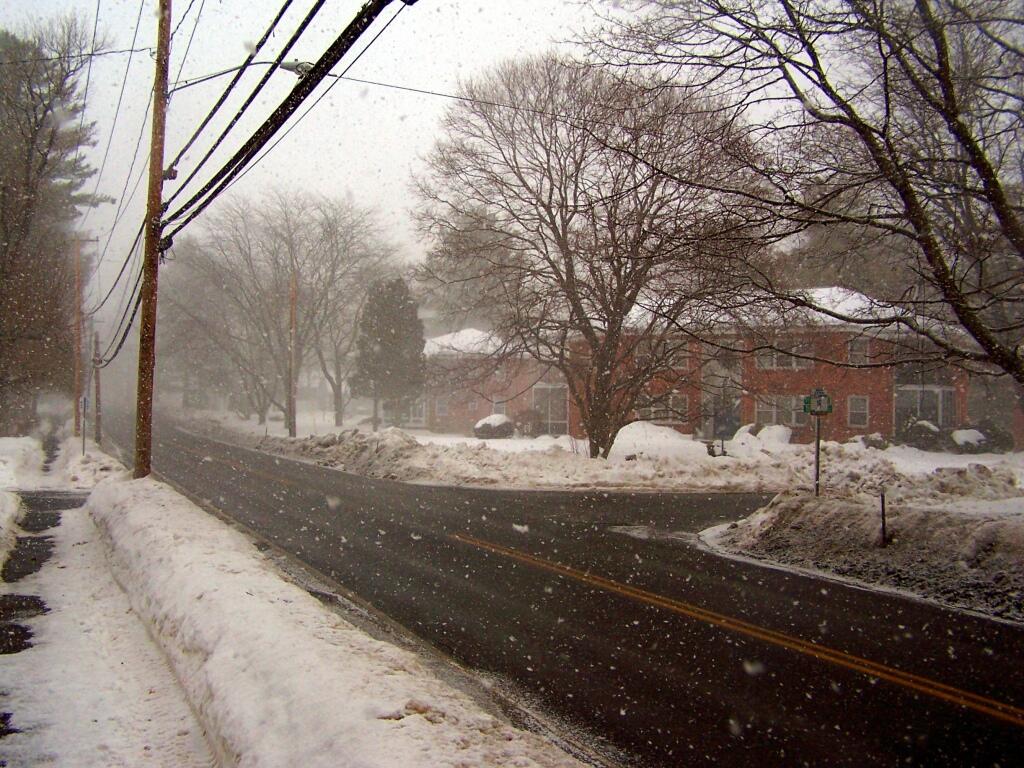
I slept in this morning. But when I awoke, there really wasn’t much snow at all.
People said the yesterday was going to be awful, but it didn’t snow until after 5 pm.
And in the evening, it just was a nuisance snow, by 10 AM, mostly all removed.
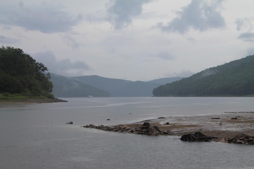
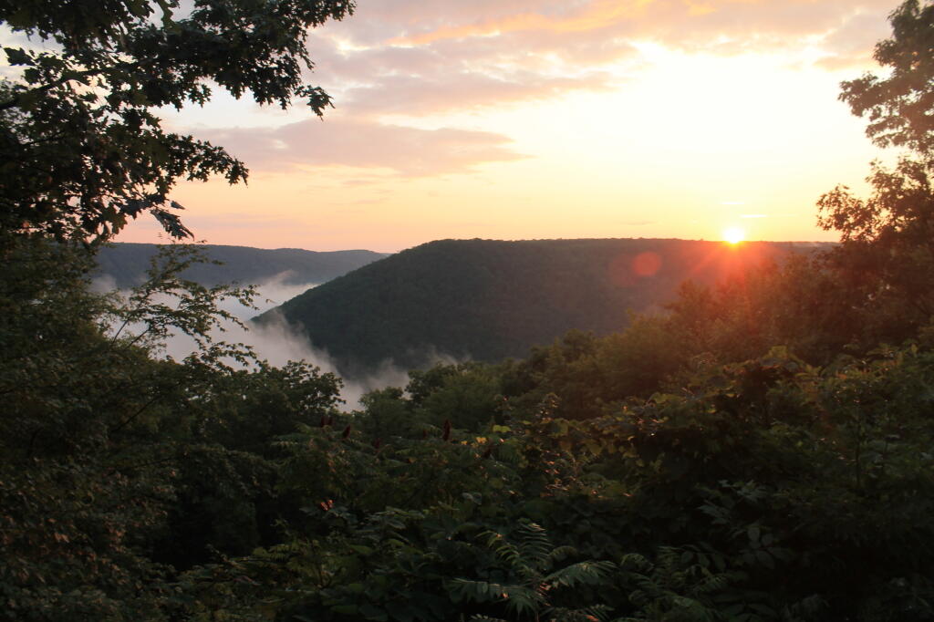
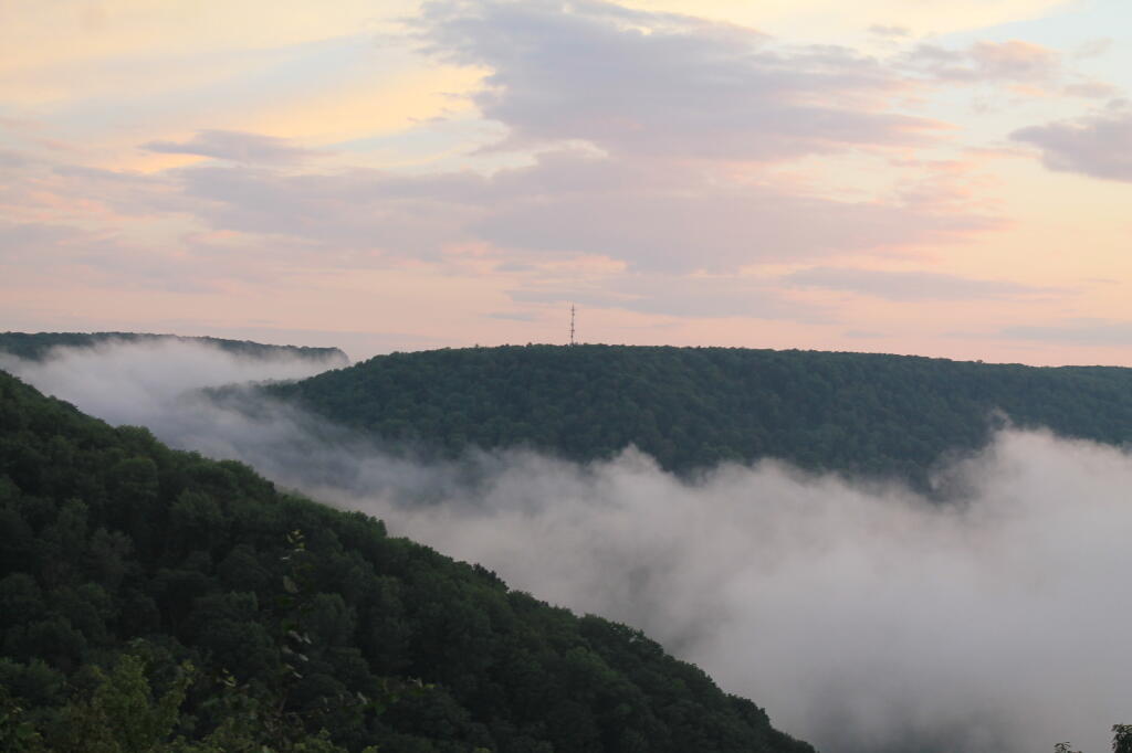
I really like Northwest Pennsylvania. It’s so wild and different then anything in New York State, without all of the restrictions applied on the land and people of a liberal state like New York. All things rugged and back country are vastly different then in Albany.
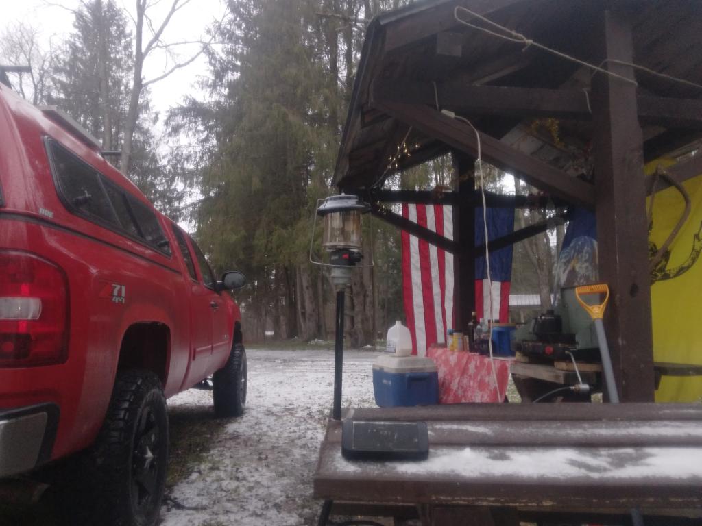
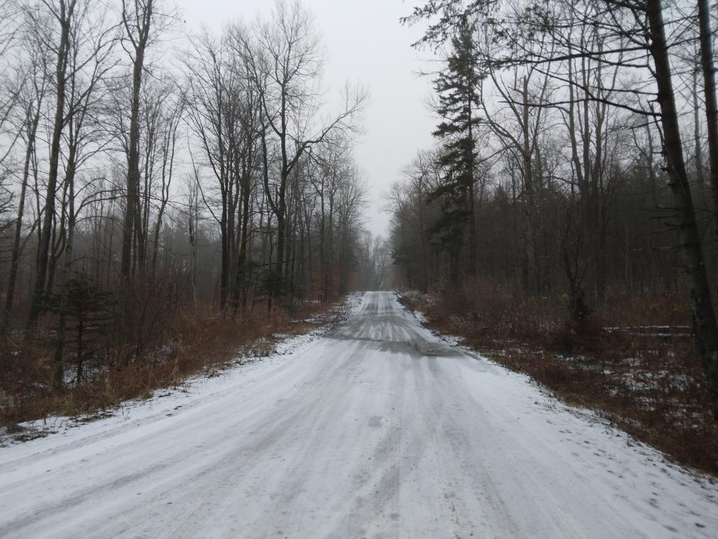
Time seemed unlimited on vacation. Eight days and nights sure seemed like a long time. Every morning lighting the cook stove, cooking up breakfast on styrofoam plates, packing up the gear, tearing down camp, and heading out for the day, exploring truck trails and wild landscapes. Set up campsite, turn on Christmas lights, build a campfire, and burn the day’s garbage, while listening to country music with my cowboy hat on.
In contrast, the land of work is vastly different. It’s setting an alarm clock, getting up, making breakfast on an electric stove, and catching the bus to work, and sitting in an office all day. Then come home, cook dinner, wash dishes, and sort the trash for recycling. Walk down to the park or the library. No opporunties to burn anything.
Man cities, and my urban reality in the state that best represents liberal statism, sucks.
In eight days, I managed to burn through 86.8 gallons, travel 1490 miles, and got 17.0 MPG. Those truck trails sure make Big Red burn a lot of gas. And I sure need the $310 to cover the cost of gas, plus the other $90 for beer, food, and supplies. Hell, even the styrofoam plates and paper towels aren’t free.
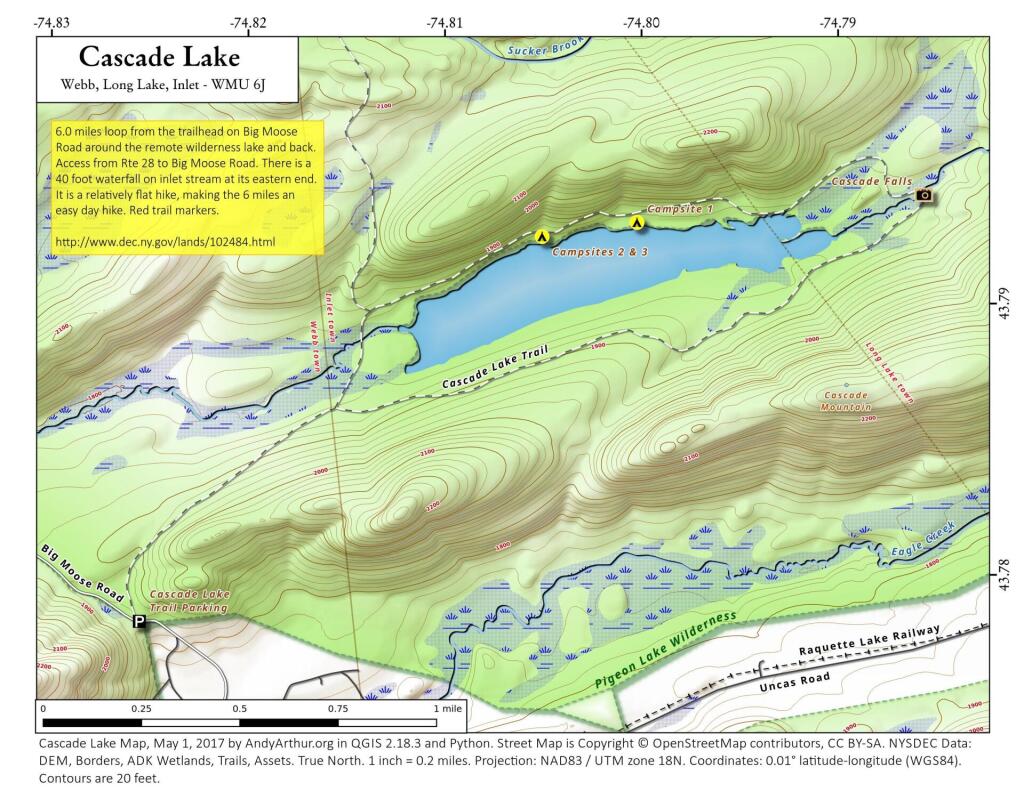
I also realize that I won’t be up for such an adventure for quite a while. It’s a mix of money and just getting the time off, but the reality is I probably won’t be back in Pennsylvania for a while. Somehow, trips to Adirondacks don’t seem so far or exciting, as Northwest Pennsylvania.
After looking forward to this trip, all that is left is some pictures, burn out tin cans for recycling, and the hang-over made up of memories.
Note: Before attemping to kayak the Hudson, make sure you review the tidal charts first. The Hudson River, even in Albany, can have very strong currents either heading north or south, depending on the tide.
The river increases and drops on average of 5 feet per change of the tide, with the strongest currents at roughly 3 hours after the last tide change. Expect especially strong currents around that time. And do not expect to be able to easily paddle against the tide. When the tide is going out, and water levels are dropping, the river pulls strongly to the south, when the tide is coming in, the river pulls to the north.
About a year ago, in the Capital Region Solid Waste Plan, the City of Albany proposed creating a mega-solid waste authority to manage the Solid Waste for most of the Eastern Half of New York State. The plan specifically called for creating a regional authority — to service up to nine counties, and cover an area of 100 miles from the center point of the Rapp Road Landfill.
So I decided to make a map, and run some numbers…
100 square miles equals roughly 30,500 square miles, with 21,500 sq miles in New York State and 9,000 sq miles out of State — primarily Southern Vermont, but also most of Western Massachussets, roughly 3/4th of Connecicut, and part of Pennsylvania in the Poconos.
In contrast to 30,500 square miles, Adirondack Park “Blue Line” covers roughly 9,100 sq miles in NY State and the Catskill Park “Blue Line” covers roughly 1,100 sq miles. That includes all land within those parks, publicly and privately owned.
That area, within NY State, covers an area were 2,957,993 persons reported residing in the 2010 census.
That is 2.95 million people, or almost 3 million people, a population greater then Manhattan at 1.5 million persons, and even Brooklyn at 2.5 million.
While no one town or city in the proposed in Authorty is particularly large — the City of Albany is the largest population center at 97,856 followed by Colonie at 81,591, the reality is those numbers add up, when you include the 406 towns and cities in NY State that fall within the 100 mile distance from the Rapp Road Landfill.
| Town /City | Population |
|---|---|
| Albany city | 97,856 |
| Colonie town | 81,591 |
| Schenectady city | 66,135 |
| Utica city | 62,235 |
| Troy city | 50,129 |
| Poughkeepsie town | 43,341 |
| Cortlandt town | 41,592 |
| Monroe town | 39,912 |
| Clifton Park town | 36,705 |
| Yorktown town | 36,081 |
| Guilderland town | 35,303 |
| Carmel town | 34,305 |
| Rome city | 33,725 |
| Bethlehem town | 33,656 |
| Poughkeepsie city | 32,736 |
| Warwick town | 32,065 |
| Newburgh town | 29,801 |
| Glenville town | 29,480 |
| Rotterdam town | 29,094 |
Here is entire list of towns partially or wholely contained in the proposed jurisdiction of the Albany Solid Waste Authority (including large cities and towns listed above)…
| Town /City | Population | Area (sq mi) | Pop sq/mi |
|---|---|---|---|
| Albany city | 97,856 | 21 | 4659.8 |
| Colonie town | 81,591 | 57 | 1431.4 |
| Schenectady city | 66,135 | 10 | 6613.5 |
| Utica city | 62,235 | 16 | 3889.7 |
| Troy city | 50,129 | 11 | 4557.2 |
| Poughkeepsie town | 43,341 | 31 | 1398.1 |
| Cortlandt town | 41,592 | 49 | 848.8 |
| Monroe town | 39,912 | 21 | 1900.6 |
| Clifton Park town | 36,705 | 50 | 734.1 |
| Yorktown town | 36,081 | 39 | 925.2 |
| Guilderland town | 35,303 | 58 | 608.7 |
| Carmel town | 34,305 | 40 | 857.6 |
| Rome city | 33,725 | 75 | 449.7 |
| Bethlehem town | 33,656 | 50 | 673.1 |
| Poughkeepsie city | 32,736 | 5 | 6547.2 |
| Warwick town | 32,065 | 105 | 305.4 |
| Newburgh town | 29,801 | 46 | 647.8 |
| Glenville town | 29,480 | 50 | 589.6 |
| Rotterdam town | 29,094 | 36 | 808.2 |
| East Fishkill town | 29,029 | 57 | 509.3 |
| Newburgh city | 28,866 | 4 | 7216.5 |
| Middletown city | 28,086 | 5 | 5617.2 |
| Queensbury town | 27,901 | 64 | 436.0 |
| Wallkill town | 27,426 | 62 | 442.4 |
| Wappinger town | 27,048 | 28 | 966.0 |
| Saratoga Springs city | 26,586 | 28 | 949.5 |
| New Windsor town | 25,244 | 36 | 701.2 |
| Kingston city | 23,893 | 8 | 2986.6 |
| Peekskill city | 23,583 | 5 | 4716.6 |
| Montgomery town | 22,606 | 51 | 443.3 |
| New Hartford town | 22,166 | 25 | 886.6 |
| Fishkill town | 22,107 | 32 | 690.8 |
| Niskayuna town | 21,781 | 15 | 1452.1 |
| Hyde Park town | 21,571 | 39 | 553.1 |
| Halfmoon town | 21,535 | 33 | 652.6 |
| Somers town | 20,434 | 32 | 638.6 |
| Saugerties town | 19,482 | 67 | 290.8 |
| Whitestown town | 18,667 | 27 | 691.4 |
| Amsterdam city | 18,620 | 6 | 3103.3 |
| Milton town | 18,575 | 35 | 530.7 |
| Southeast town | 18,404 | 34 | 541.3 |
| Blooming Grove town | 18,028 | 35 | 515.1 |
| East Greenbush town | 16,473 | 24 | 686.4 |
| Wilton town | 16,173 | 35 | 462.1 |
| Cohoes city | 16,168 | 4 | 4042.0 |
| La Grange town | 15,730 | 40 | 393.3 |
| Gloversville city | 15,665 | 5 | 3133.0 |
| Beacon city | 15,541 | 4 | 3885.3 |
| Thompson town | 15,308 | 87 | 176.0 |
| Stony Point town | 15,059 | 31 | 485.8 |
| Malta town | 14,765 | 31 | 476.3 |
| Moreau town | 14,728 | 43 | 342.5 |
| Glens Falls city | 14,700 | 3 | 4900.0 |
| Beekman town | 14,621 | 30 | 487.4 |
| Shawangunk town | 14,332 | 56 | 255.9 |
| New Paltz town | 14,003 | 34 | 411.9 |
| Oneonta city | 13,901 | 4 | 3475.3 |
| Goshen town | 13,687 | 44 | 311.1 |
| Kent town | 13,507 | 43 | 314.1 |
| German Flatts town | 13,258 | 34 | 389.9 |
| Wawarsing town | 13,157 | 133 | 98.9 |
| Fallsburg town | 12,870 | 79 | 162.9 |
| Schodack town | 12,794 | 63 | 203.1 |
| Kingsbury town | 12,671 | 40 | 316.8 |
| Cornwall town | 12,646 | 28 | 451.6 |
| Highlands town | 12,492 | 33 | 378.5 |
| Lewisboro town | 12,411 | 29 | 428.0 |
| Ulster town | 12,327 | 28 | 440.3 |
| Mamakating town | 12,085 | 98 | 123.3 |
| North Greenbush town | 12,075 | 18 | 670.8 |
| Patterson town | 12,023 | 32 | 375.7 |
| Chester town | 11,981 | 87 | 137.7 |
| Chester town | 11,981 | 25 | 479.2 |
| Brunswick town | 11,941 | 44 | 271.4 |
| Putnam Valley town | 11,809 | 42 | 281.2 |
| Catskill town | 11,775 | 64 | 184.0 |
| Oneida city | 11,393 | 22 | 517.9 |
| Woodbury town | 11,353 | 37 | 306.8 |
| Red Hook town | 11,319 | 40 | 283.0 |
| Lloyd town | 10,863 | 33 | 329.2 |
| Plattekill town | 10,499 | 35 | 300.0 |
| Kirkland town | 10,315 | 33 | 312.6 |
| Watervliet city | 10,254 | 1 | 10254.0 |
| Herkimer town | 10,175 | 32 | 318.0 |
| Liberty town | 9,885 | 80 | 123.6 |
| Ballston town | 9,776 | 30 | 325.9 |
| Pleasant Valley town | 9,672 | 33 | 293.1 |
| Philipstown town | 9,662 | 51 | 189.5 |
| Rensselaer city | 9,392 | 3 | 3130.7 |
| Crawford town | 9,316 | 40 | 232.9 |
| Lenox town | 9,122 | 36 | 253.4 |
| Esopus town | 9,041 | 41 | 220.5 |
| Marcy town | 8,982 | 33 | 272.2 |
| North Elba town | 8,957 | 156 | 57.4 |
| Coxsackie town | 8,918 | 38 | 234.7 |
| Marlborough town | 8,808 | 26 | 338.8 |
| Johnstown city | 8,743 | 4 | 2185.8 |
| Dover town | 8,699 | 56 | 155.3 |
| New Scotland town | 8,648 | 57 | 151.7 |
| Sand Lake town | 8,530 | 36 | 236.9 |
| Kinderhook town | 8,498 | 32 | 265.6 |
| Pawling town | 8,463 | 45 | 188.1 |
| Waterford town | 8,423 | 7 | 1203.3 |
| Stillwater town | 8,287 | 43 | 192.7 |
| Deerpark town | 7,901 | 67 | 117.9 |
| Greenfield town | 7,775 | 67 | 116.0 |
| Schaghticoke town | 7,679 | 51 | 150.6 |
| Frankfort town | 7,636 | 36 | 212.1 |
| Rhinebeck town | 7,548 | 39 | 193.5 |
| Coeymans town | 7,418 | 53 | 140.0 |
| Rochester town | 7,313 | 89 | 82.2 |
| Wawayanda town | 7,266 | 35 | 207.6 |
| Norwich city | 7,190 | 2 | 3595.0 |
| Johnstown town | 7,098 | 71 | 100.0 |
| Mount Hope town | 7,018 | 25 | 280.7 |
| Hoosick town | 6,924 | 63 | 109.9 |
| Hudson city | 6,713 | 2 | 3356.5 |
| Hamilton town | 6,690 | 41 | 163.2 |
| Cairo town | 6,670 | 60 | 111.2 |
| Granville town | 6,669 | 56 | 119.1 |
| Cobleskill town | 6,625 | 30 | 220.8 |
| Corinth town | 6,531 | 58 | 112.6 |
| Mayfield town | 6,495 | 64 | 101.5 |
| Lee town | 6,486 | 45 | 144.1 |
| Fort Edward town | 6,371 | 27 | 236.0 |
| Hurley town | 6,314 | 35 | 180.4 |
| Verona town | 6,293 | 69 | 91.2 |
| Windsor town | 6,274 | 93 | 67.5 |
| Fort Ann town | 6,190 | 111 | 55.8 |
| Westmoreland town | 6,138 | 43 | 142.7 |
| Duanesburg town | 6,122 | 71 | 86.2 |
| Rosendale town | 6,075 | 20 | 303.8 |
| Claverack town | 6,021 | 47 | 128.1 |
| Woodstock town | 5,884 | 67 | 87.8 |
| Sidney town | 5,774 | 50 | 115.5 |
| Pittstown town | 5,735 | 64 | 89.6 |
| Gardiner town | 5,713 | 43 | 132.9 |
| Saratoga town | 5,674 | 42 | 135.1 |
| Marbletown town | 5,607 | 55 | 101.9 |
| Greene town | 5,604 | 75 | 74.7 |
| Walton town | 5,576 | 97 | 57.5 |
| Amsterdam town | 5,566 | 30 | 185.5 |
| Hamptonburgh town | 5,561 | 26 | 213.9 |
| Vienna town | 5,440 | 95 | 57.3 |
| Vernon town | 5,408 | 37 | 146.2 |
| Ghent town | 5,402 | 45 | 120.0 |
| Broadalbin town | 5,260 | 39 | 134.9 |
| Eaton town | 5,255 | 45 | 116.8 |
| Colesville town | 5,232 | 79 | 66.2 |
| Oneonta town | 5,229 | 33 | 158.5 |
| Mechanicville city | 5,196 | 0 | |
| Delhi town | 5,117 | 64 | 80.0 |
| North Salem town | 5,104 | 22 | 232.0 |
| Northumberland town | 5,087 | 32 | 159.0 |
| Ticonderoga town | 5,042 | 88 | 57.3 |
| Little Falls city | 4,946 | 3 | 1648.7 |
| Greenwich town | 4,942 | 44 | 112.3 |
| Union Vale town | 4,877 | 37 | 131.8 |
| Moriah town | 4,798 | 71 | 67.6 |
| Nassau town | 4,789 | 45 | 106.4 |
| Washington town | 4,741 | 58 | 81.7 |
| Boonville town | 4,555 | 72 | 63.3 |
| Poestenkill town | 4,530 | 32 | 141.6 |
| Trenton town | 4,498 | 43 | 104.6 |
| Minisink town | 4,490 | 23 | 195.2 |
| Amenia town | 4,436 | 43 | 103.2 |
| Olive town | 4,419 | 65 | 68.0 |
| Paris town | 4,411 | 31 | 142.3 |
| Unadilla town | 4,392 | 46 | 95.5 |
| Minden town | 4,297 | 51 | 84.3 |
| Deerfield town | 4,273 | 33 | 129.5 |
| Bethel town | 4,255 | 90 | 47.3 |
| Greenport town | 4,165 | 20 | 208.3 |
| Charlton town | 4,133 | 32 | 129.2 |
| Chatham town | 4,128 | 53 | 77.9 |
| Warrensburg town | 4,094 | 64 | 64.0 |
| Athens town | 4,089 | 28 | 146.0 |
| Sherburne town | 4,048 | 43 | 94.1 |
| Whitehall town | 4,042 | 58 | 69.7 |
| Norwich town | 3,998 | 42 | 95.2 |
| Oxford town | 3,901 | 60 | 65.0 |
| Otsego town | 3,900 | 59 | 66.1 |
| Mohawk town | 3,844 | 35 | 109.8 |
| Stanford town | 3,823 | 50 | 76.5 |
| Floyd town | 3,819 | 34 | 112.3 |
| Argyle town | 3,782 | 57 | 66.4 |
| Rockland town | 3,775 | 95 | 39.7 |
| Middletown town | 3,750 | 97 | 38.7 |
| Middleburgh town | 3,746 | 49 | 76.4 |
| Greenville town | 3,739 | 39 | 95.9 |
| Greenville town | 3,739 | 30 | 124.6 |
| Canajoharie town | 3,730 | 43 | 86.7 |
| Livingston town | 3,646 | 38 | 95.9 |
| Perth town | 3,646 | 26 | 140.2 |
| Tuxedo town | 3,624 | 49 | 74.0 |
| Copake town | 3,615 | 42 | 86.1 |
| Neversink town | 3,557 | 86 | 41.4 |
| Galway town | 3,545 | 45 | 78.8 |
| Lake George town | 3,515 | 32 | 109.8 |
| Schuyler town | 3,420 | 40 | 85.5 |
| New Baltimore town | 3,370 | 43 | 78.4 |
| Westerlo town | 3,361 | 58 | 57.9 |
| White Creek town | 3,356 | 48 | 69.9 |
| Lake Luzerne town | 3,347 | 54 | 62.0 |
| Manheim town | 3,334 | 29 | 115.0 |
| Bainbridge town | 3,308 | 34 | 97.3 |
| Palatine town | 3,240 | 41 | 79.0 |
| Hancock town | 3,224 | 161 | 20.0 |
| Schoharie town | 3,205 | 29 | 110.5 |
| Otego town | 3,115 | 45 | 69.2 |
| Shandaken town | 3,085 | 120 | 25.7 |
| Sherrill city | 3,071 | 2 | 1535.5 |
| Callicoon town | 3,057 | 48 | 63.7 |
| Milford town | 3,044 | 47 | 64.8 |
| North East town | 3,031 | 43 | 70.5 |
| Annsville town | 3,012 | 60 | 50.2 |
| Madison town | 3,008 | 41 | 73.4 |
| Davenport town | 2,965 | 52 | 57.0 |
| Guilford town | 2,922 | 61 | 47.9 |
| Stephentown town | 2,903 | 58 | 50.1 |
| Afton town | 2,851 | 46 | 62.0 |
| Stockport town | 2,815 | 13 | 216.5 |
| Berne town | 2,794 | 64 | 43.7 |
| Hunter town | 2,732 | 90 | 30.4 |
| Durham town | 2,725 | 49 | 55.6 |
| Salem town | 2,715 | 52 | 52.2 |
| Florida town | 2,696 | 51 | 52.9 |
| Knox town | 2,692 | 41 | 65.7 |
| New Berlin town | 2,682 | 46 | 58.3 |
| Delaware town | 2,670 | 35 | 76.3 |
| Northampton town | 2,670 | 34 | 78.5 |
| St. Johnsville town | 2,631 | 17 | 154.8 |
| Green Island town | 2,620 | 0 | |
| Richmondville town | 2,610 | 30 | 87.0 |
| Russia town | 2,587 | 60 | 43.1 |
| Sangerfield town | 2,561 | 30 | 85.4 |
| Brookfield town | 2,545 | 78 | 32.6 |
| Highland town | 2,530 | 52 | 48.7 |
| Glen town | 2,507 | 39 | 64.3 |
| Roxbury town | 2,502 | 87 | 28.8 |
| Pine Plains town | 2,473 | 31 | 79.8 |
| Lumberland town | 2,468 | 49 | 50.4 |
| Laurens town | 2,424 | 42 | 57.7 |
| Franklin town | 2,411 | 81 | 29.8 |
| Sanford town | 2,407 | 91 | 26.5 |
| Johnsburg town | 2,395 | 206 | 11.6 |
| Richfield town | 2,388 | 32 | 74.6 |
| Milan town | 2,370 | 36 | 65.8 |
| Easton town | 2,336 | 63 | 37.1 |
| Bolton town | 2,326 | 90 | 25.8 |
| New Lebanon town | 2,305 | 35 | 65.9 |
| Newport town | 2,302 | 32 | 71.9 |
| Hartford town | 2,269 | 43 | 52.8 |
| Stamford town | 2,267 | 48 | 47.2 |
| Worcester town | 2,220 | 46 | 48.3 |
| Marshall town | 2,131 | 32 | 66.6 |
| Grafton town | 2,130 | 45 | 47.3 |
| Princetown town | 2,115 | 24 | 88.1 |
| Middlefield town | 2,114 | 63 | 33.6 |
| Hartwick town | 2,110 | 40 | 52.8 |
| Stockbridge town | 2,103 | 31 | 67.8 |
| Winfield town | 2,086 | 23 | 90.7 |
| Colchester town | 2,077 | 142 | 14.6 |
| Esperance town | 2,076 | 20 | 103.8 |
| Hadley town | 2,048 | 41 | 50.0 |
| Stuyvesant town | 2,027 | 26 | 78.0 |
| Crown Point town | 2,024 | 81 | 25.0 |
| Cambridge town | 2,021 | 36 | 56.1 |
| Augusta town | 2,020 | 27 | 74.8 |
| Lincoln town | 2,012 | 25 | 80.5 |
| Providence town | 1,995 | 45 | 44.3 |
| Nelson town | 1,980 | 44 | 45.0 |
| Clermont town | 1,965 | 19 | 103.4 |
| Salisbury town | 1,958 | 108 | 18.1 |
| Germantown town | 1,954 | 13 | 150.3 |
| Western town | 1,951 | 54 | 36.1 |
| Carlisle town | 1,948 | 34 | 57.3 |
| Remsen town | 1,929 | 36 | 53.6 |
| Hillsdale town | 1,927 | 48 | 40.1 |
| Oppenheim town | 1,924 | 56 | 34.4 |
| Maryland town | 1,897 | 51 | 37.2 |
| Watson town | 1,881 | 116 | 16.2 |
| Berlin town | 1,880 | 59 | 31.9 |
| Morris town | 1,878 | 39 | 48.2 |
| Hebron town | 1,853 | 56 | 33.1 |
| Sharon town | 1,846 | 39 | 47.3 |
| Rensselaerville town | 1,843 | 62 | 29.7 |
| Edmeston town | 1,826 | 44 | 41.5 |
| Webb town | 1,807 | 484 | 3.7 |
| Plymouth town | 1,804 | 42 | 43.0 |
| Jackson town | 1,800 | 37 | 48.6 |
| Butternuts town | 1,786 | 53 | 33.7 |
| Leyden town | 1,785 | 33 | 54.1 |
| North Norwich town | 1,783 | 28 | 63.7 |
| Seward town | 1,763 | 36 | 49.0 |
| Fenner town | 1,726 | 31 | 55.7 |
| Root town | 1,715 | 51 | 33.6 |
| Deposit town | 1,712 | 44 | 38.9 |
| Canaan town | 1,710 | 36 | 47.5 |
| Windham town | 1,703 | 45 | 37.8 |
| Ashland town | 1,695 | 25 | 67.8 |
| Ephratah town | 1,682 | 39 | 43.1 |
| Kortright town | 1,675 | 62 | 27.0 |
| Gallatin town | 1,668 | 39 | 42.8 |
| Coventry town | 1,655 | 48 | 34.5 |
| Schroon town | 1,654 | 141 | 11.7 |
| Austerlitz town | 1,654 | 48 | 34.5 |
| Fairfield town | 1,627 | 41 | 39.7 |
| DeRuyter town | 1,589 | 31 | 51.3 |
| Little Falls town | 1,587 | 22 | 72.1 |
| Columbia town | 1,580 | 35 | 45.1 |
| Harpersfield town | 1,577 | 42 | 37.5 |
| Ancram town | 1,573 | 42 | 37.5 |
| Wright town | 1,539 | 28 | 55.0 |
| Forestport town | 1,535 | 78 | 19.7 |
| Meredith town | 1,529 | 58 | 26.4 |
| Petersburgh town | 1,525 | 41 | 37.2 |
| West Turin town | 1,524 | 102 | 14.9 |
| Bridgewater town | 1,522 | 23 | 66.2 |
| Tusten town | 1,515 | 48 | 31.6 |
| Litchfield town | 1,513 | 30 | 50.4 |
| Fulton town | 1,442 | 65 | 22.2 |
| Jefferson town | 1,410 | 43 | 32.8 |
| Horicon town | 1,389 | 71 | 19.6 |
| Lewis town | 1,382 | 65 | 21.3 |
| Charleston town | 1,373 | 42 | 32.7 |
| Cochecton town | 1,372 | 37 | 37.1 |
| Pittsfield town | 1,366 | 38 | 35.9 |
| Springfield town | 1,358 | 45 | 30.2 |
| Indian Lake town | 1,352 | 266 | 5.1 |
| Lebanon town | 1,332 | 43 | 31.0 |
| Smithville town | 1,330 | 50 | 26.6 |
| Hamden town | 1,323 | 60 | 22.1 |
| Masonville town | 1,320 | 54 | 24.4 |
| Westport town | 1,312 | 66 | 19.9 |
| Taghkanic town | 1,310 | 40 | 32.8 |
| Gilboa town | 1,307 | 59 | 22.2 |
| Andes town | 1,301 | 112 | 11.6 |
| Smithfield town | 1,288 | 24 | 53.7 |
| Smyrna town | 1,280 | 42 | 30.5 |
| Tompkins town | 1,247 | 104 | 12.0 |
| Lyonsdale town | 1,227 | 70 | 17.5 |
| Cherry Valley town | 1,223 | 40 | 30.6 |
| Thurman town | 1,219 | 92 | 13.3 |
| Edinburg town | 1,214 | 67 | 18.1 |
| Caroga town | 1,205 | 54 | 22.3 |
| Greig town | 1,199 | 94 | 12.8 |
| Elizabethtown town | 1,163 | 83 | 14.0 |
| Summit town | 1,148 | 37 | 31.0 |
| Warren town | 1,143 | 38 | 30.1 |
| Burlington town | 1,140 | 45 | 25.3 |
| New Lisbon town | 1,114 | 44 | 25.3 |
| Keene town | 1,105 | 156 | 7.1 |
| Steuben town | 1,100 | 42 | 26.2 |
| Otselic town | 1,054 | 38 | 27.7 |
| Preston town | 1,044 | 35 | 29.8 |
| Danube town | 1,039 | 29 | 35.8 |
| Fremont town | 1,008 | 51 | 19.8 |
| Ohio town | 1,002 | 307 | 3.3 |
| Exeter town | 987 | 32 | 30.8 |
| Columbus town | 975 | 37 | 26.4 |
| Georgetown town | 974 | 40 | 24.4 |
| Broome town | 973 | 48 | 20.3 |
| Jewett town | 953 | 50 | 19.1 |
| Hampton town | 938 | 22 | 42.6 |
| Plainfield town | 915 | 29 | 31.6 |
| Kingston town | 889 | 7 | 127.0 |
| McDonough town | 886 | 39 | 22.7 |
| Westford town | 868 | 33 | 26.3 |
| Day town | 856 | 69 | 12.4 |
| Forestburgh town | 819 | 56 | 14.6 |
| Minerva town | 809 | 160 | 5.1 |
| Lexington town | 805 | 79 | 10.2 |
| Pitcher town | 803 | 28 | 28.7 |
| Lake Pleasant town | 781 | 198 | 3.9 |
| Stony Creek town | 767 | 83 | 9.2 |
| Norway town | 762 | 35 | 21.8 |
| Stark town | 757 | 31 | 24.4 |
| Clinton town | 737 | 38 | 19.4 |
| Conesville town | 734 | 40 | 18.4 |
| Long Lake town | 711 | 449 | 1.6 |
| Roseboom town | 711 | 33 | 21.5 |
| Prattsville town | 700 | 19 | 36.8 |
| Hague town | 699 | 80 | 8.7 |
| Ava town | 676 | 37 | 18.3 |
| Wells town | 674 | 177 | 3.8 |
| Dresden town | 652 | 54 | 12.1 |
| Bovina town | 633 | 44 | 14.4 |
| Stratford town | 610 | 76 | 8.0 |
| Putnam town | 609 | 35 | 17.4 |
| Pharsalia town | 593 | 39 | 15.2 |
| Denning town | 551 | 105 | 5.2 |
| Bleecker town | 533 | 59 | 9.0 |
| Newcomb town | 436 | 233 | 1.9 |
| Hope town | 403 | 41 | 9.8 |
| Lincklaen town | 396 | 26 | 15.2 |
| Blenheim town | 377 | 34 | 11.1 |
| Decatur town | 353 | 20 | 17.7 |
| Inlet town | 333 | 66 | 5.0 |
| Arietta town | 304 | 329 | 0.9 |
| Halcott town | 258 | 23 | 11.2 |
| North Hudson town | 240 | 185 | 1.3 |
| Hardenburgh town | 238 | 80 | 3.0 |
| Benson town | 192 | 83 | 2.3 |
| Morehouse town | 86 | 194 | 0.4 |
| Total | 2,957,993 | 21,462 | 386.0 |


Where are people clustered around closely in the hilltowns? The obvious answer would be the hamlets of Dormansville Westerlo, South Westerlo, East Berne, Berne, West Berne, Rensselearville, Medusa. Those are historical hamlets that where the centers of these rural towns prior to the automobile and quick roads providing access to the City of Albany.
Today it seems like those hamlets continue to be the most dense region of county, in part because existing housing was grandfathered in prior to large lot zoning ordiences becoming the norm decades later. Yet, an even more important factor in connectivity proves to be quality highway access to to City of Albany, for the many families who leave their homestead or farm to work in the city.
I made this map from 2010 Census Block-level data, divided by area of land within each census block. This is as detailed of census data that is avalialbe for this rural area, despite many of census blocks being quite large out in this rural area.
Here is a full-size version of this image, for more detailed views.
Westerlo is the most densely populated town in the three south-western hilltowns. It is most dense due to access to NY State Route 32, which provides relatively quick access year round to the city, with commutes around 30-40 minutes each way. The further you get from NY 32, the quicker population density drops down.
NY 443 and NY 85, the two other state roads, also have significant increases in population density along them. Both of those roads have more hamlets to drive through to and twistier roads get to the City of Albany, therefore lower population densities. Get out to Rensselearville, and except for Renselearville, serviced by NY 85, population density proves to be quite low, except for the small historical hamlet of Medusa and Potters Hollow, whose densities are high, but only in a small region for one census block. Rennselearville is on the artery of NY 85.
People generally live closer together near major highways. Farms, forest land, and public lands tend to be further away from major roads. Farmers and other forest owners who work their own land typically don’t need quick access to the city. They instead need is cheap land, which tends to be away from highways. Other distant land, was long ago abandoned to the state as state forest, in part because of it’s remoteness.
Back when I was in college, I used to drive back and forth between Plattsburgh and Albany a lot. I used to try a variety of routes, some more indirect then others, to see the scenery, especially when I had extra time to burn in the afternoon.
The most direct and quick way is via the Adirondack Northway (I-87) all the way up.
This way is really slow as you wind your way up and over Tongue Mountain, and through all the little resort towns along the west side of Lake George.
This route is moderately fast. There is some spectular secenry along NY 22 as you head from Whitehall to Ticonderoga, with sweeping views of Lake Champlain.
I quite often would take this route over the old Lake Champlain Bridge when I wanted to visit Burlington. The old bridge was beautiful, as is the landscape after you cross into Vermont. Burlington is an amazingly nice city too.
I used to come back via Burlington some times, by taking VT 22A through the dairy country of southern Vermont. The land is pretty flat, and VT 22A, but there are still some amazing views of the Adirondack Mountains along this route.


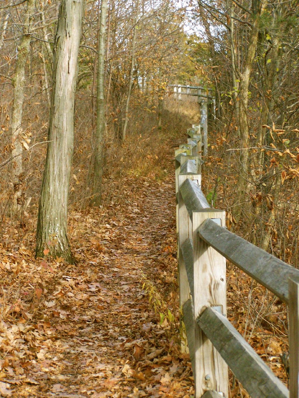
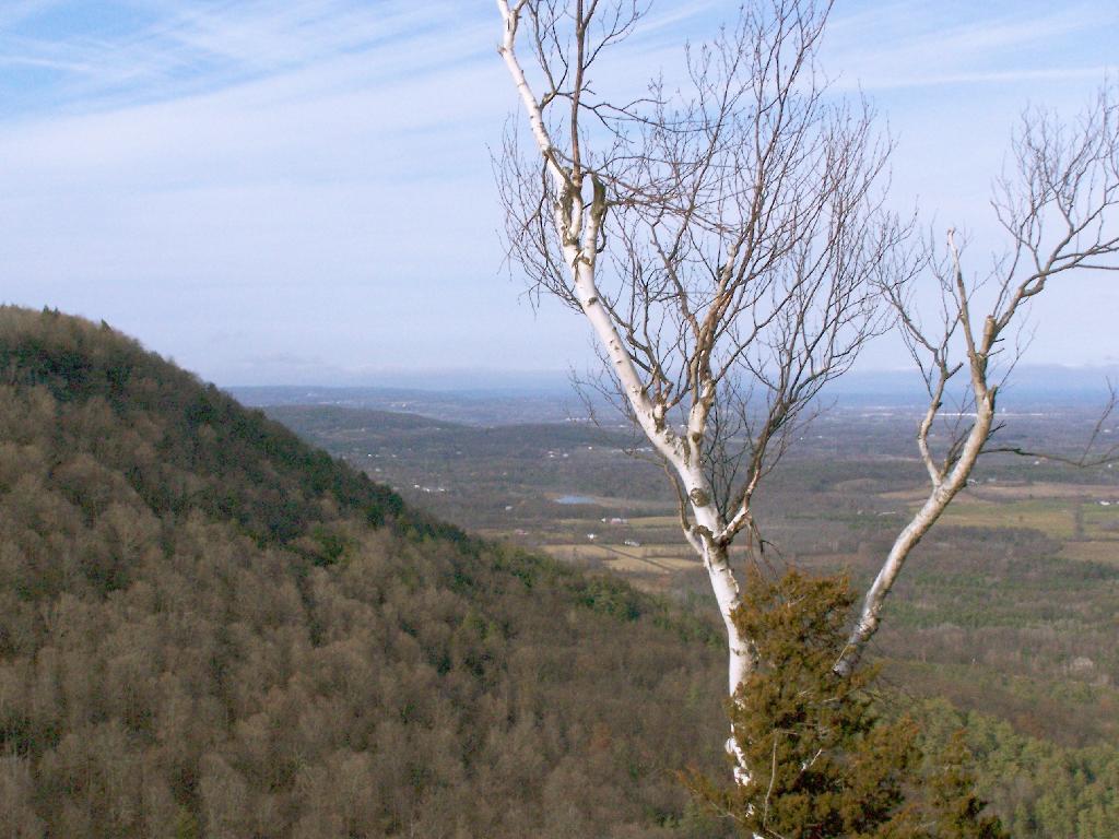
For my Sunday afternoon walk this afternoon I went up to Thatcher Park. It was 60 degrees out, and quite nice weather for late November. The previous day it had rained quite hard and water was coming out quite intensively from the Horseshoe Falls.
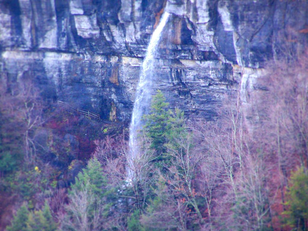
Walking along the fence line above the Escarpment on Horseshoe Clove.
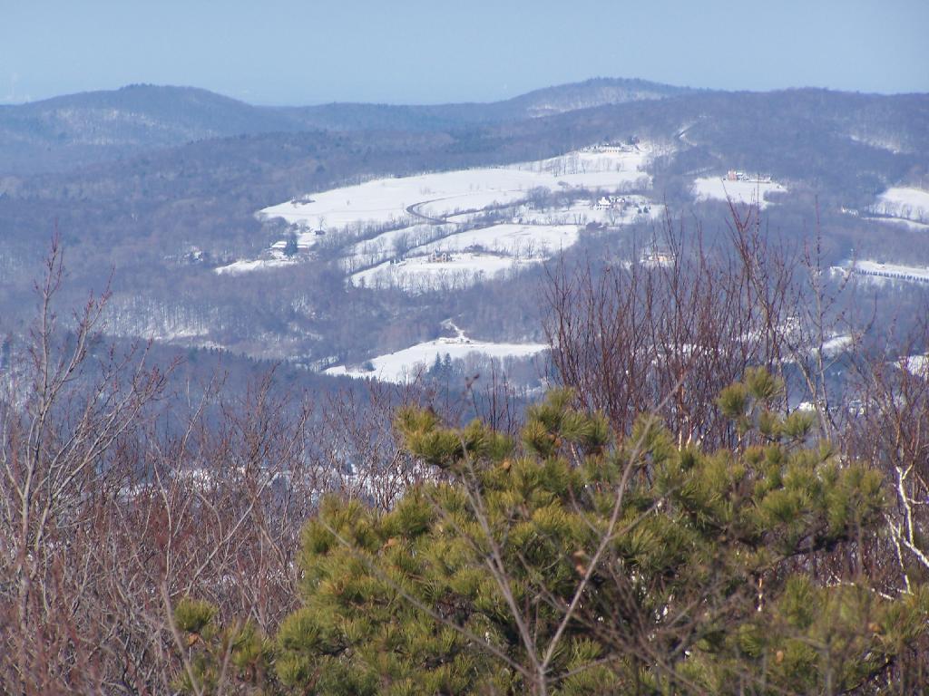
Looking south and at rather gray landscape off Thatcher Park.
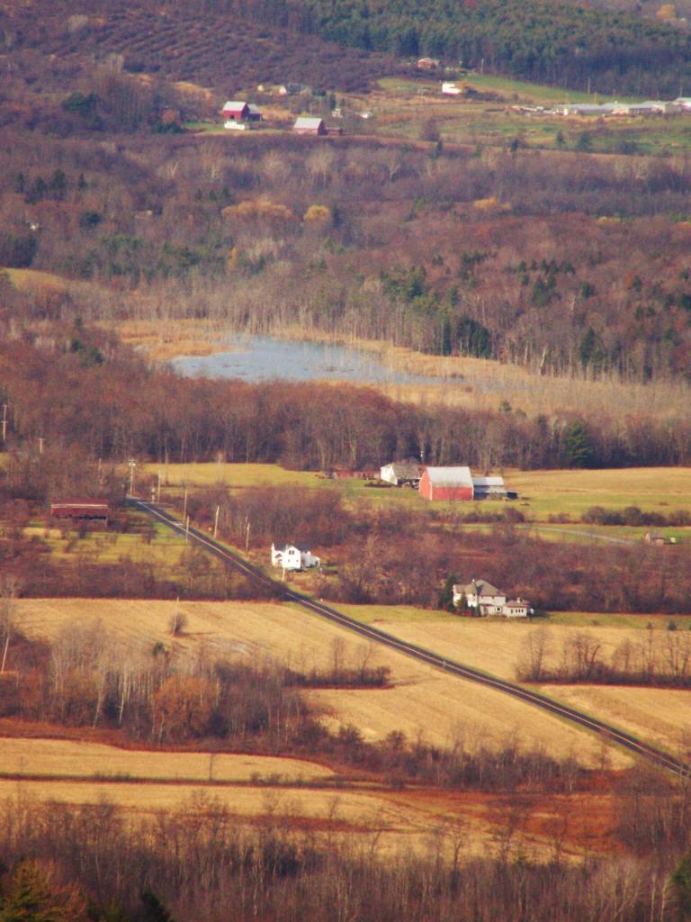
Farms outside of Altamont in the fall without the leaves.
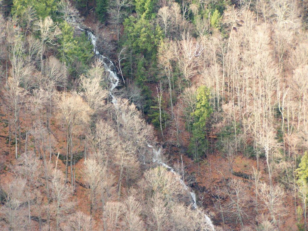
A stream of water coming north out of an upper clove.
Birch along the edge of the path.