Pharaoh Mountain is located about 10 miles east of Schroon Lake, and can be accessed from the Long Swing / Pharaoh Mountain Trail from the North along with a much steeper and longer trail from Pharaoh Lake from south.
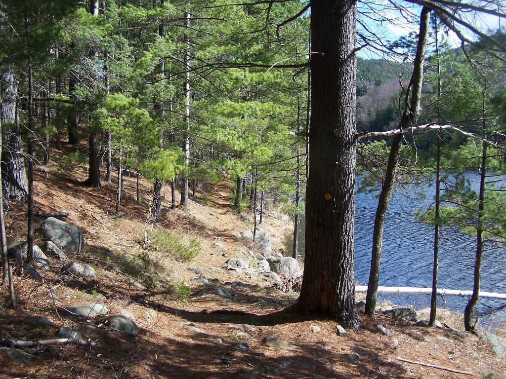
If you choose to take the infamous and rough Crane Pond Truck Trail to it’s end, and then park at Crane Pond, it’s only about a 3 1/2 mile hike up the mountain. If you stop at Alder Pond, and don’t drive through the shallow end of Alder Pond to get to the last mile of Crane Pond Road, then it’s a 4 1/2 mile hike each way.
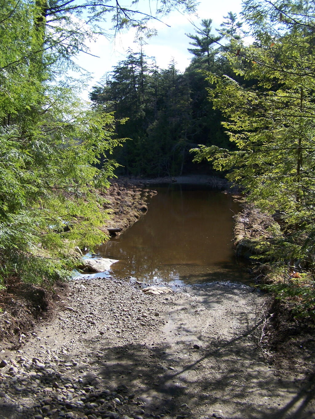
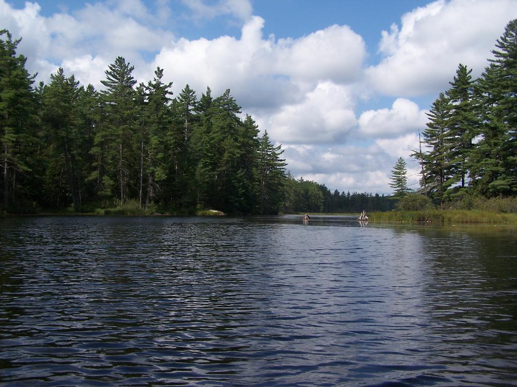
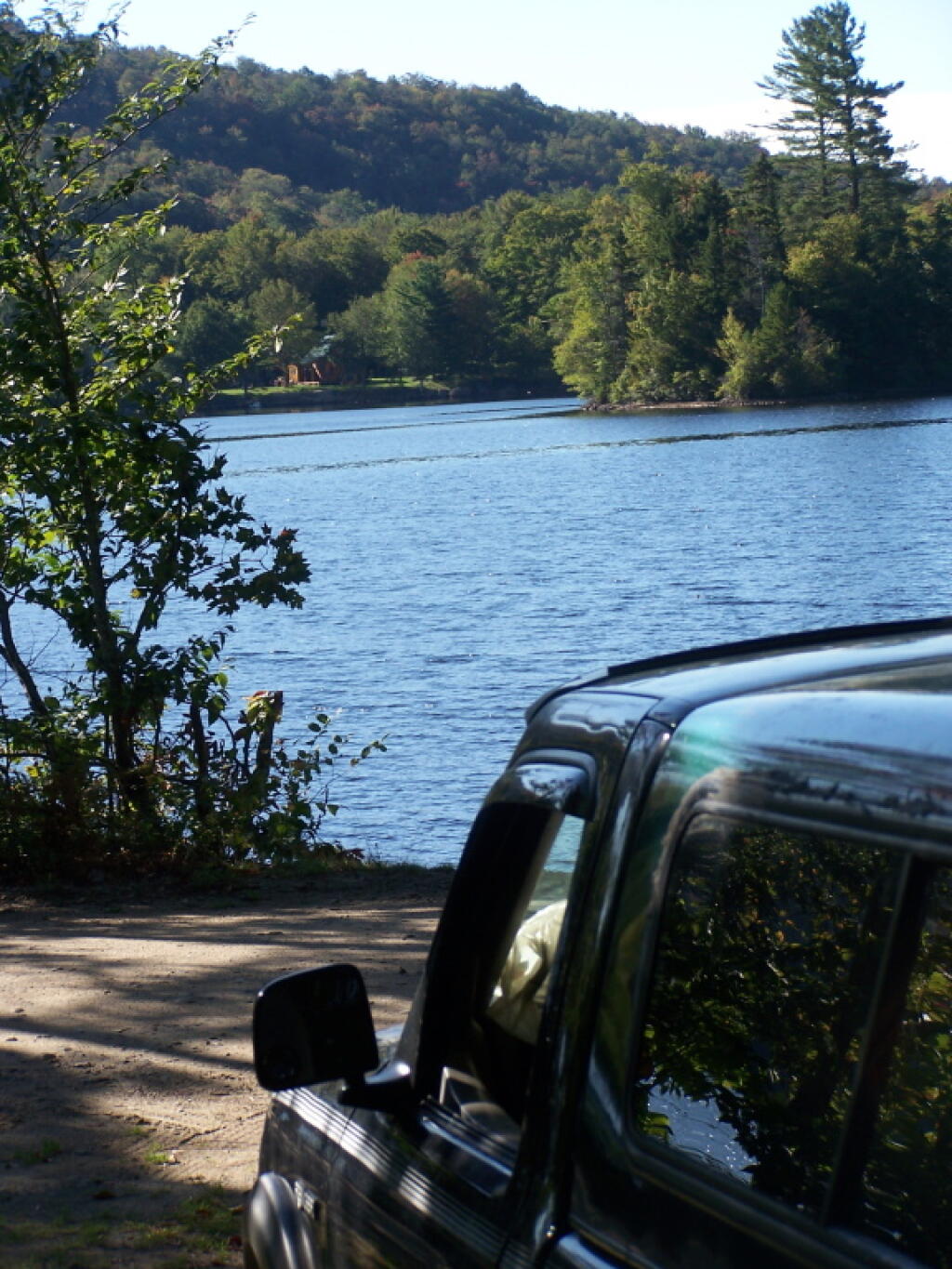
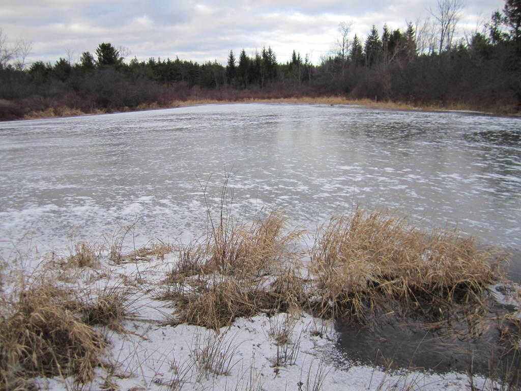
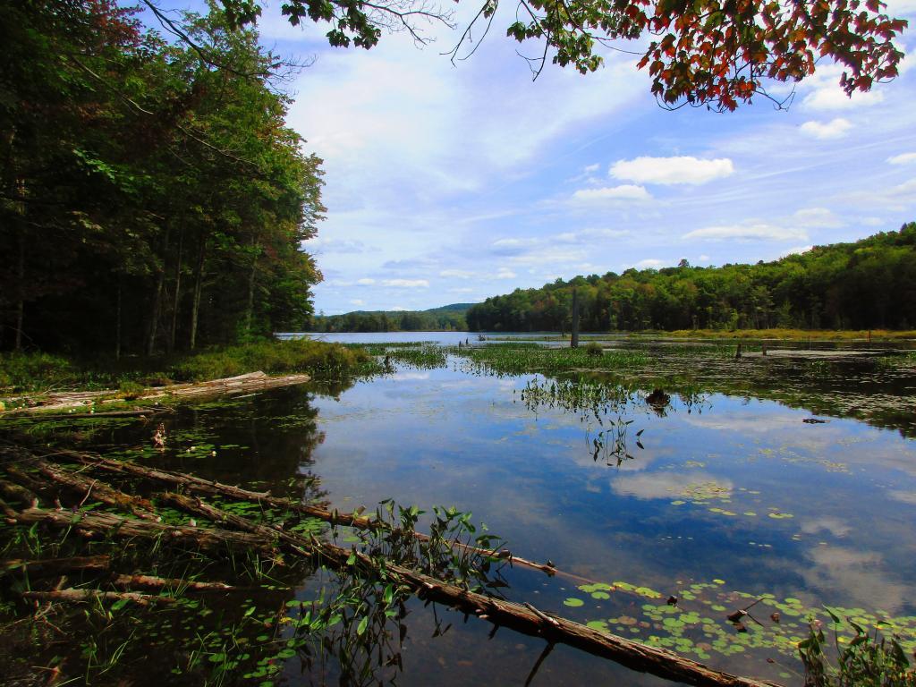
Below is Alder Pond. It was an amazing morning, as the rain let up and started to clear off. The truck trail cuts through the end of the pond, and with the recent rains, it was deeper then I wanted to take my old pickup through.
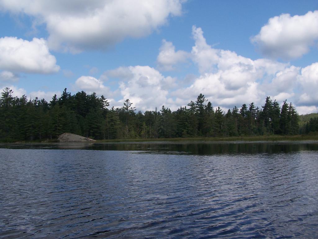
At end of Crane Pond Road is Crane Pond (not surpisingly!) There is a parking area here, and Crane Pond is known for it’s good fishing and beauty.
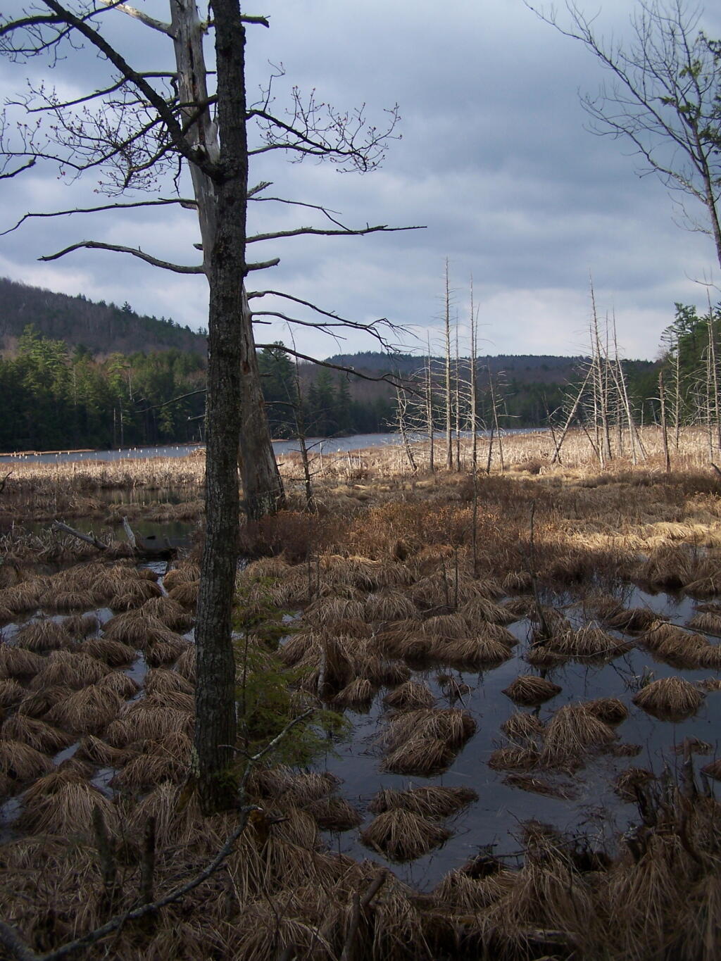
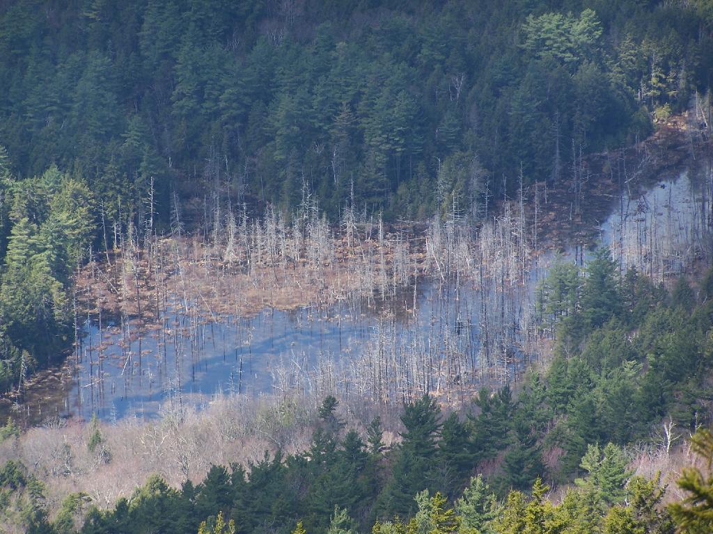
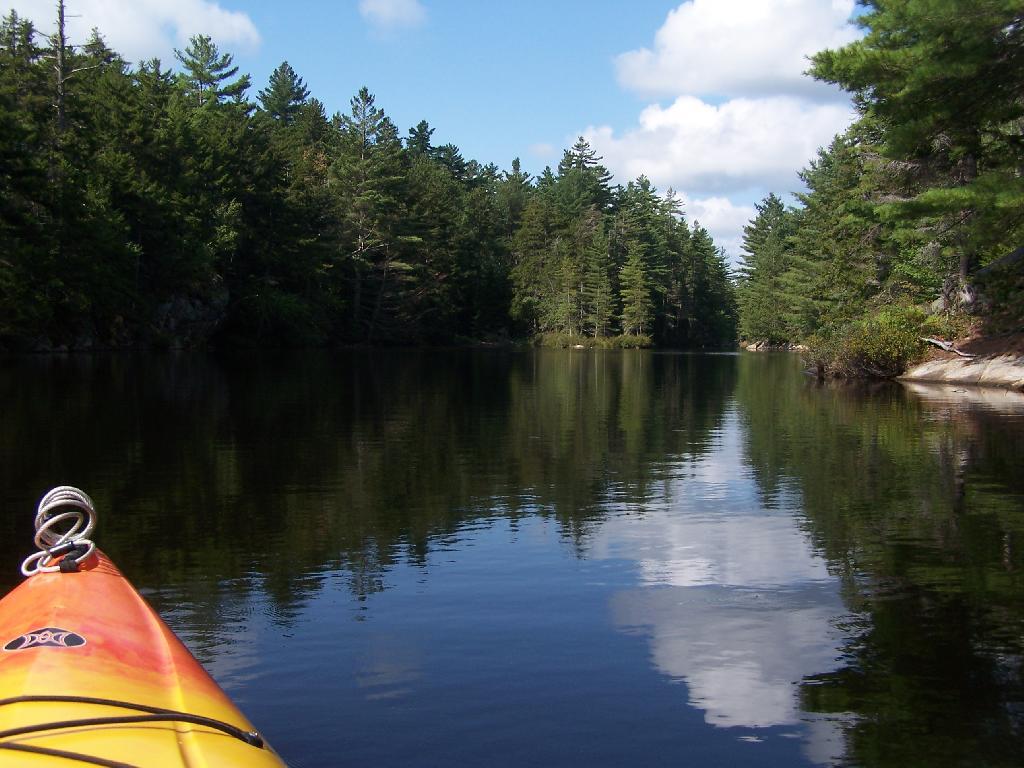
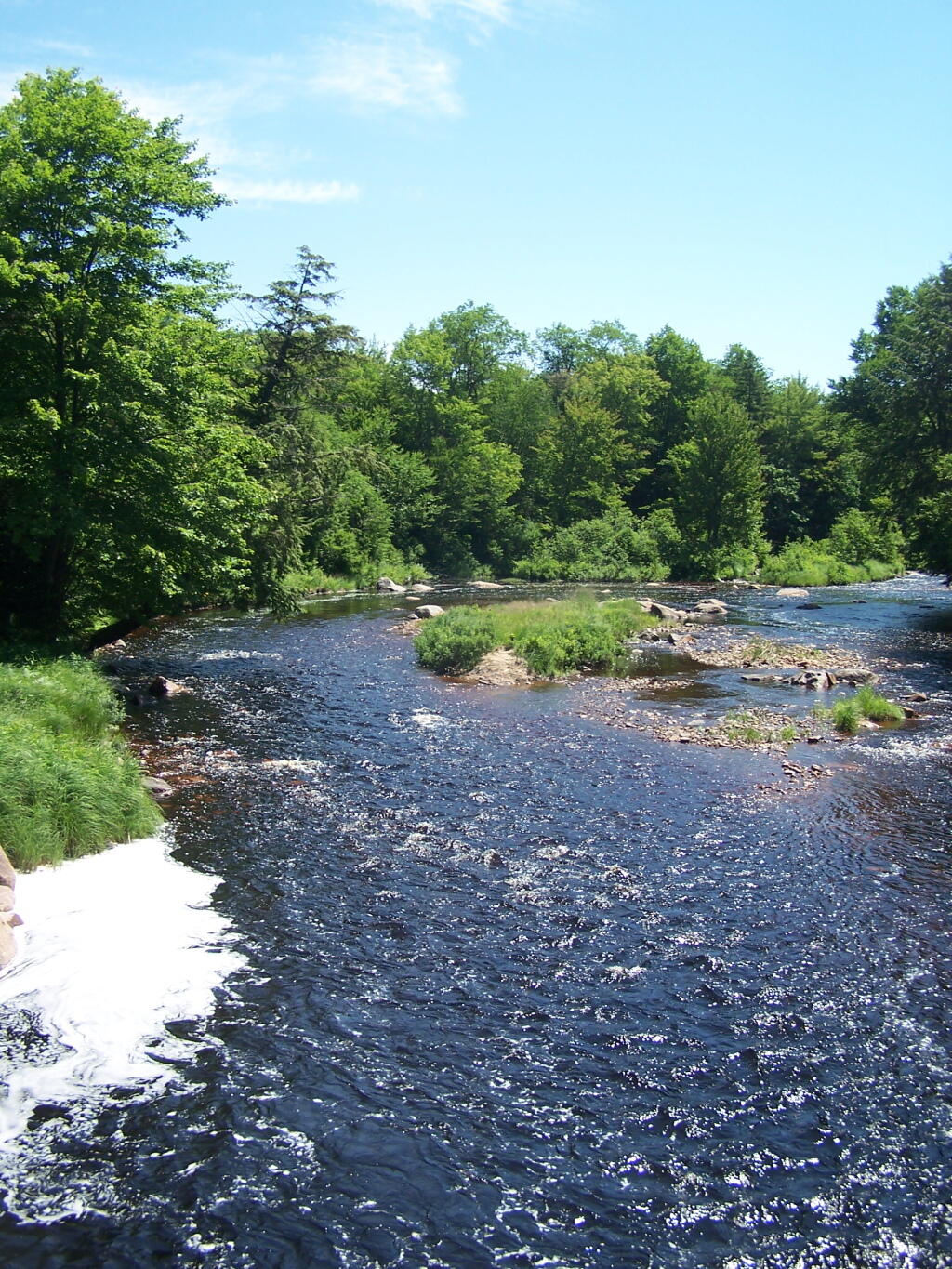
Reaching Glidden Marsh on the Pharaoh Mountain Trail. Pharoah Mountain is in the distance, with the peak sticking up. Most of the trail is relatively flat, until you reach the mountain, and then you start climbing.
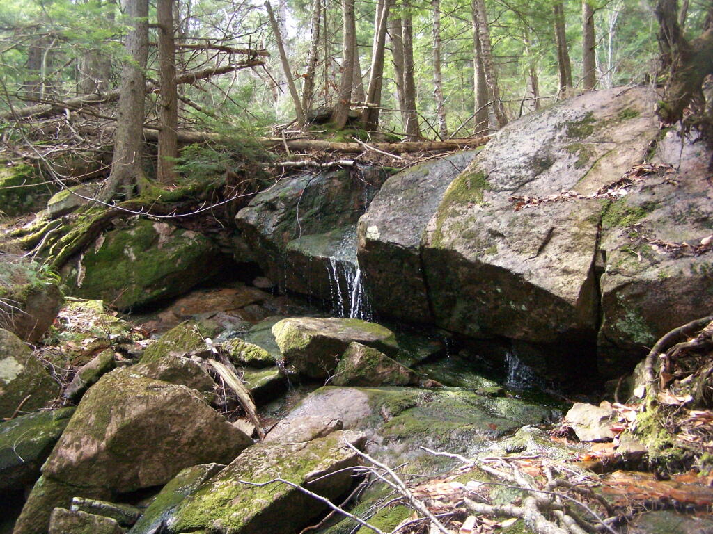
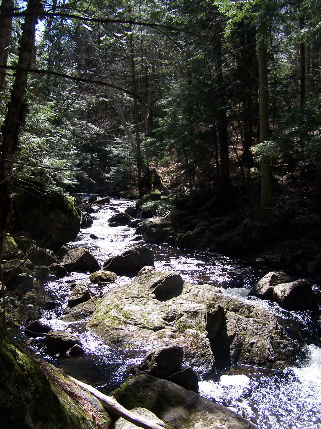
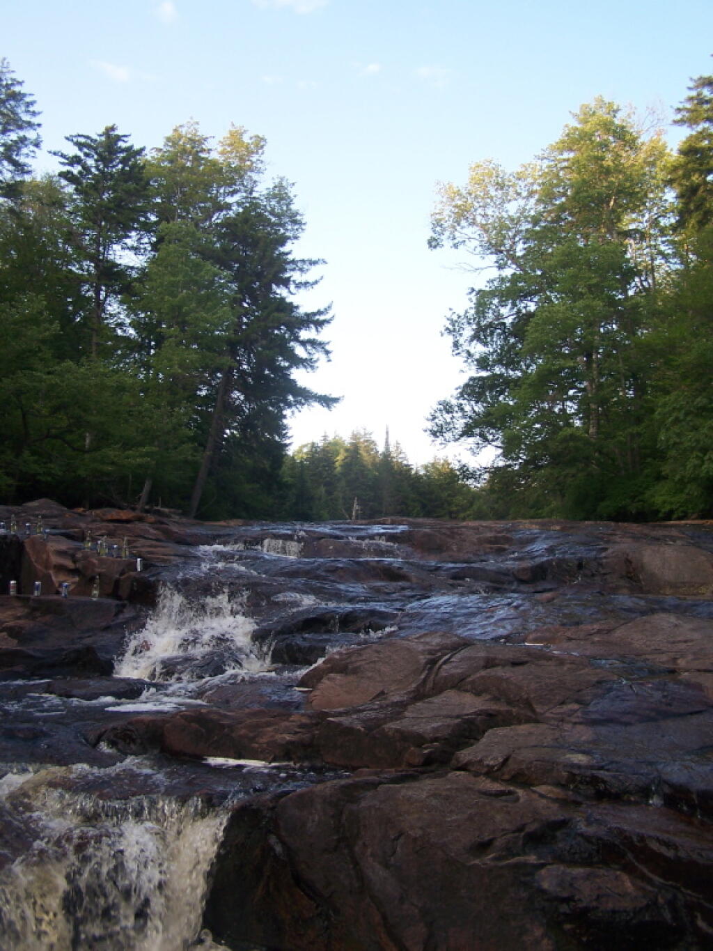
About halfway up there, there is the most charming little water fall.
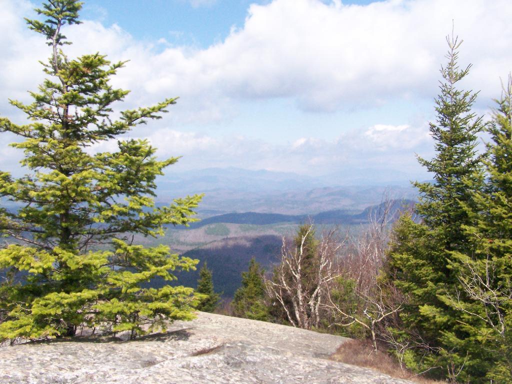
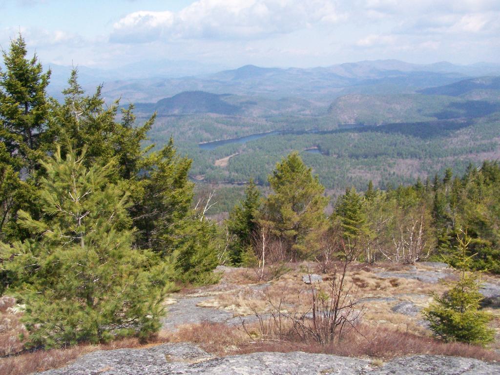
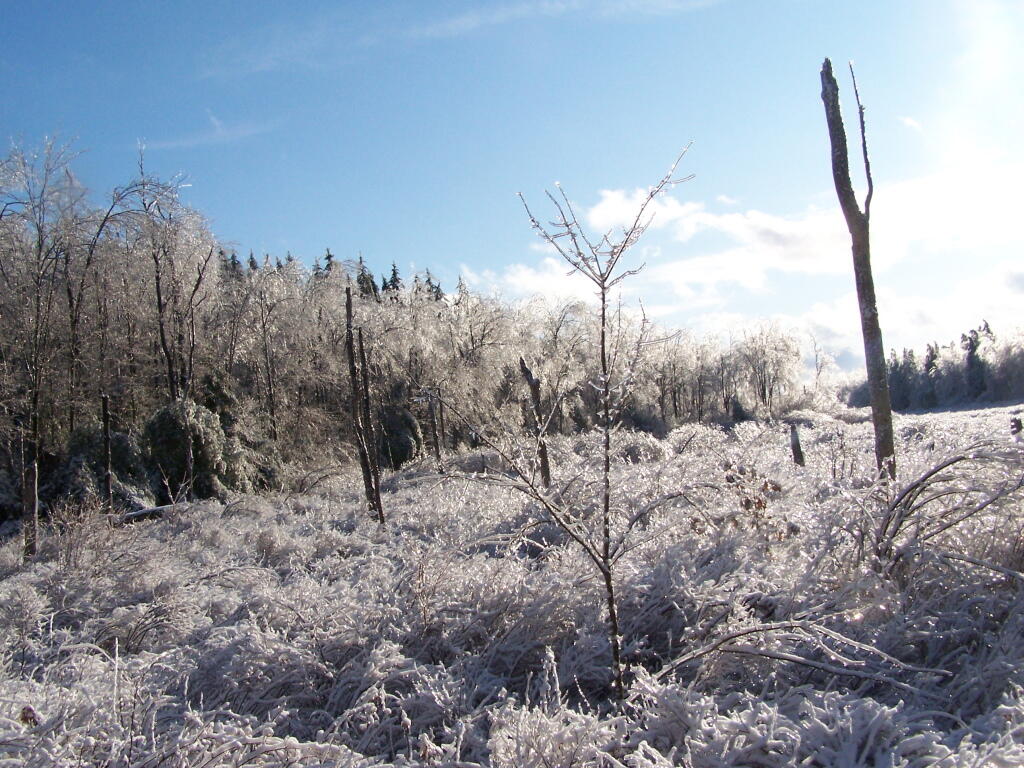
As you climb, views become progressively better.
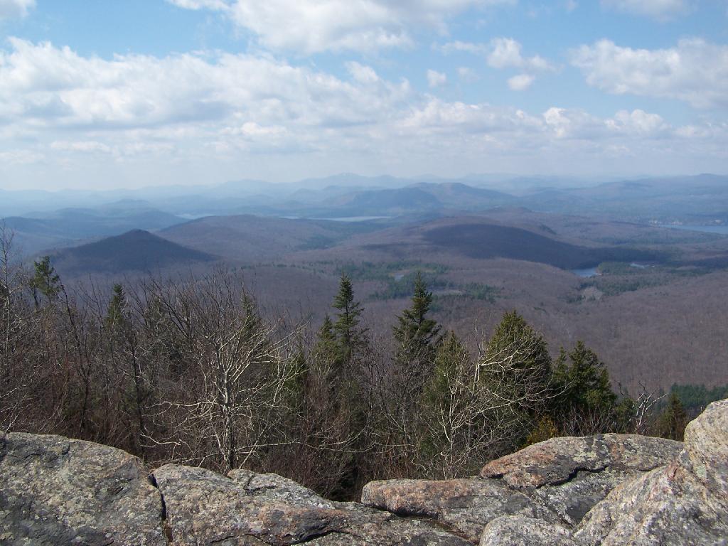
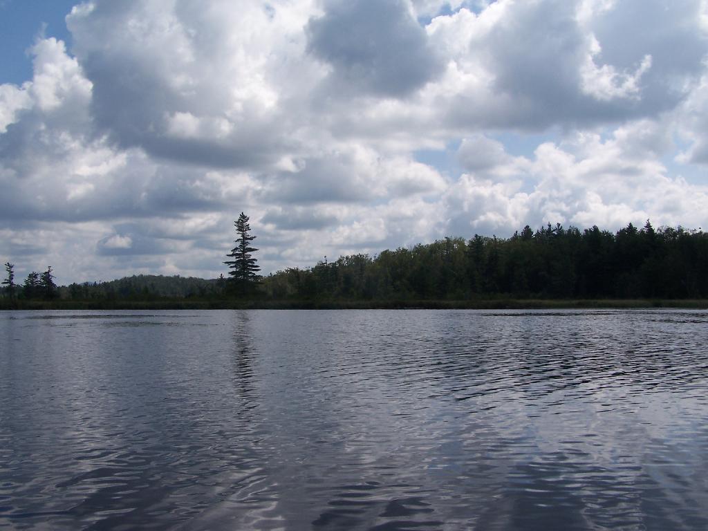
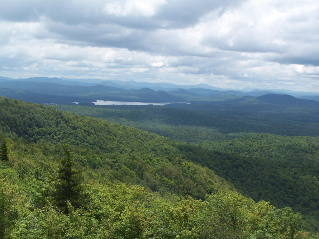
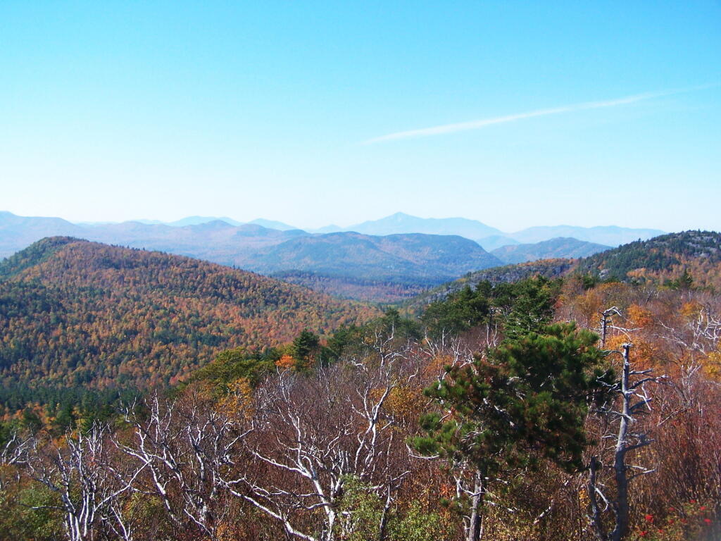
Reaching the summit, there are views in almost all directions, although you have to wonder around the top of the mountain to get all views. Here is looking North-East toward Ticonderoga. You can see Lake Champlain in the distance — barely, along with Crane Pond, Alder Pond, Oxbow Lake, and other features up close.
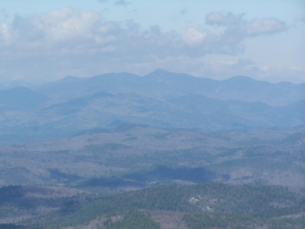
On the northernly view, you have nice views of the High Peaks Region of the Adirondacks, with Mount Marcy and Alonquin Mountains peaking out top.
To the south-west, there are view of Gore Mountain (ski trails still with snow on it as of April 11).
There also is a primative campsite on top of Pharaoh Mountain.
To the South-East there is Pharaoh Lake, which I did not visit, but the maps show about 5 lean-tos surround it.
Desolate Swamp is quite purty from the mountain.
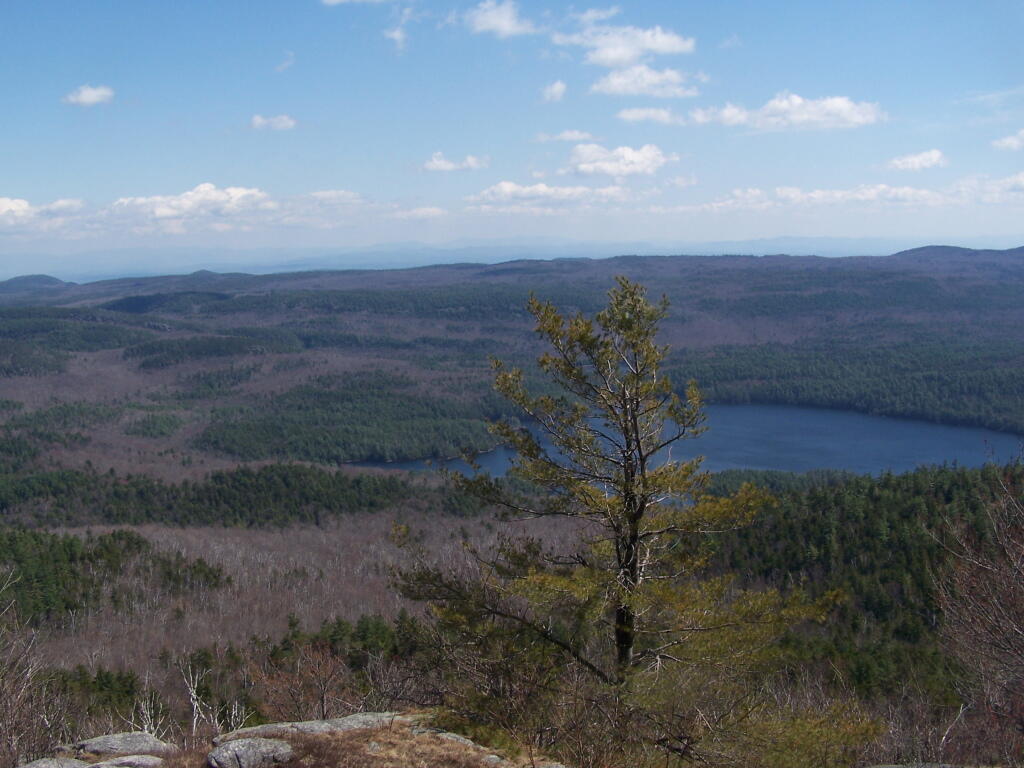
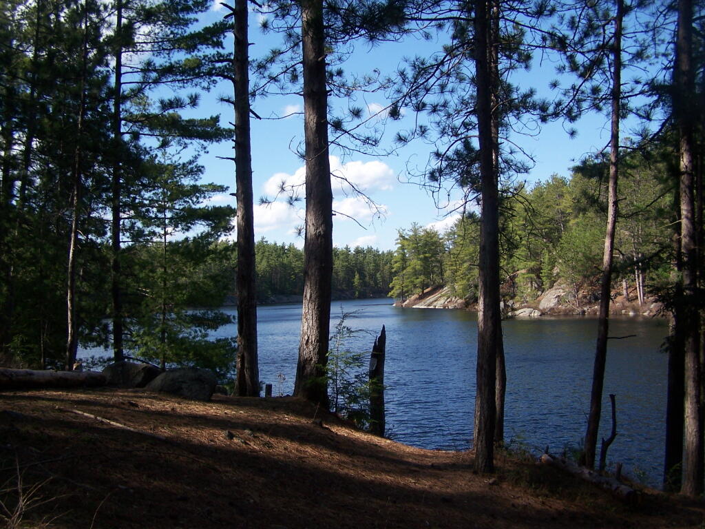
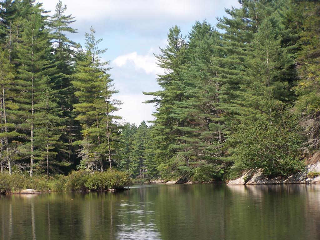
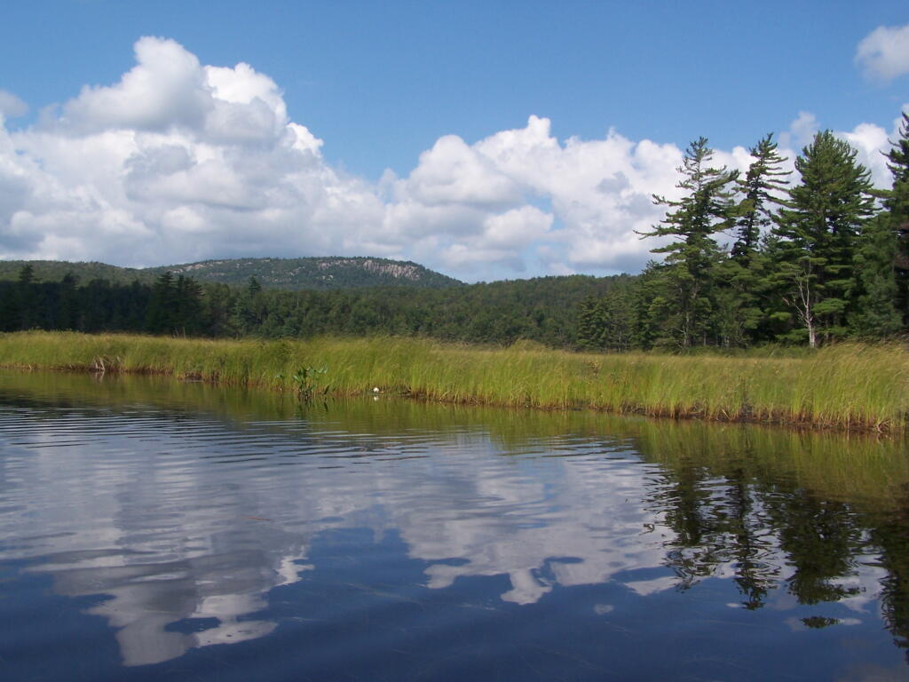
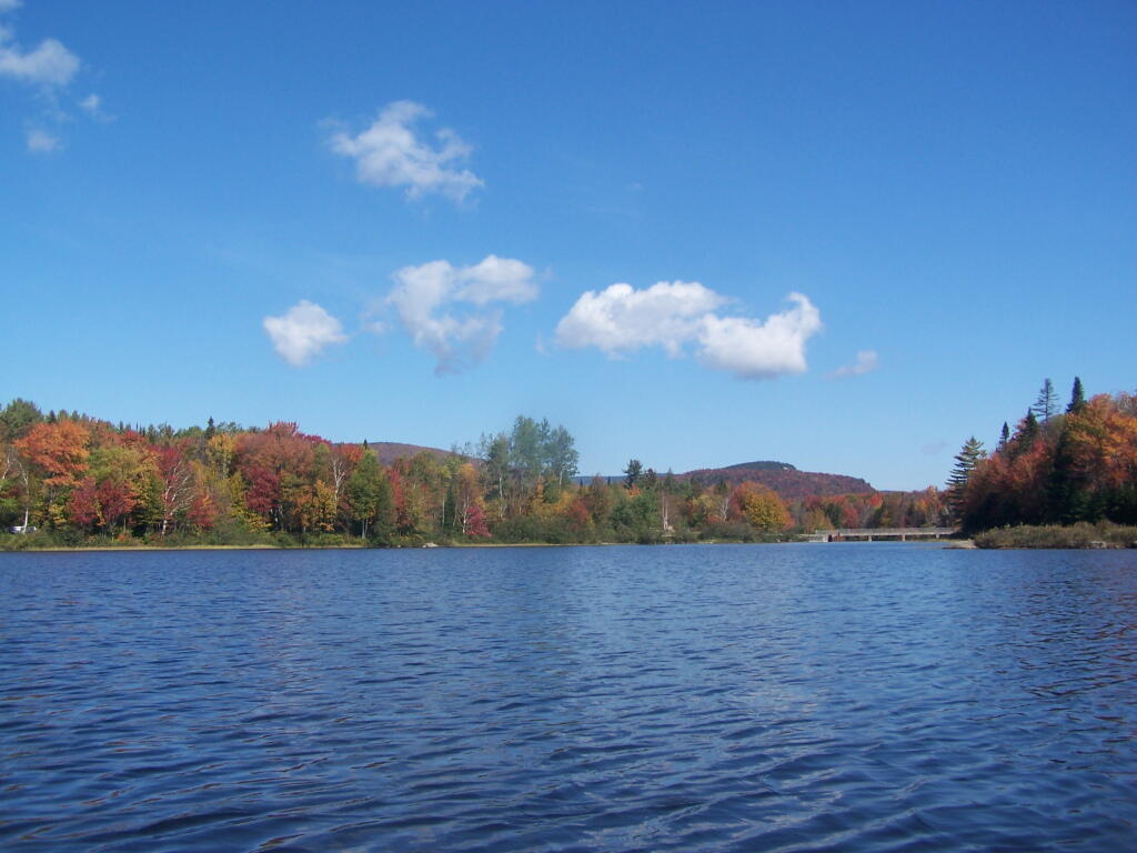
After hiking up the mountain, I took a side trip to the beautiful Oxbow Pond, and the other side of Glidden Marsh. Here is the Long-Swing Trail along the edge of Glidden Marsh, near the turn off to Oxbow Lake.
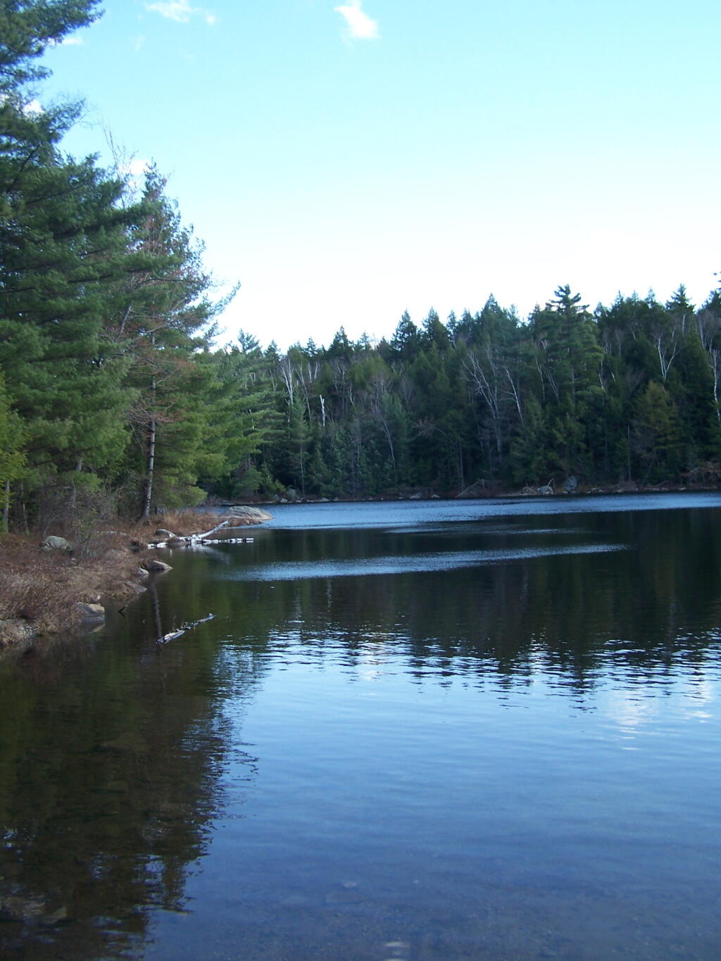
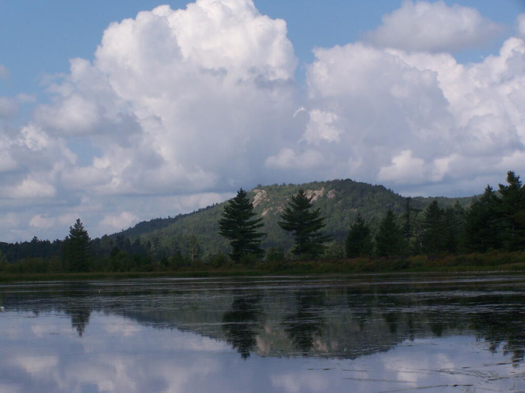
Oxbow Lake is so beautiful, and probably real deep.
The Oxbow Lean-To. It looks well used, but is in good shape, and has a decent outhouse a little ways from it, a fire pit, along with lots of water for cooking in the nearby pond.
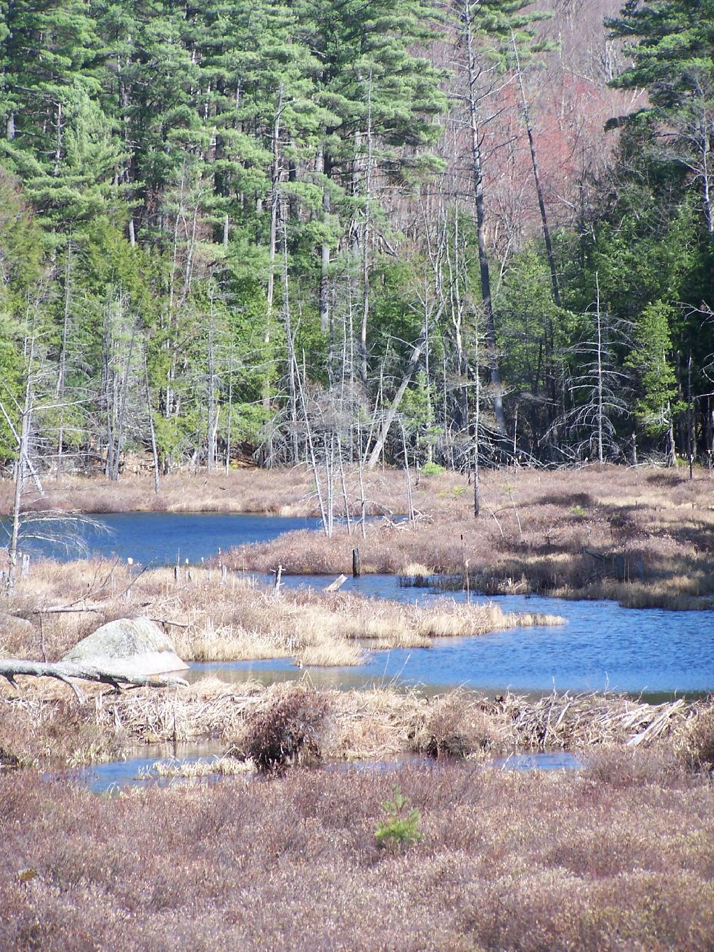
The one end of Oxbow Lake is swampy, as it runs between outfall of Crab Pond down to Oxbow.
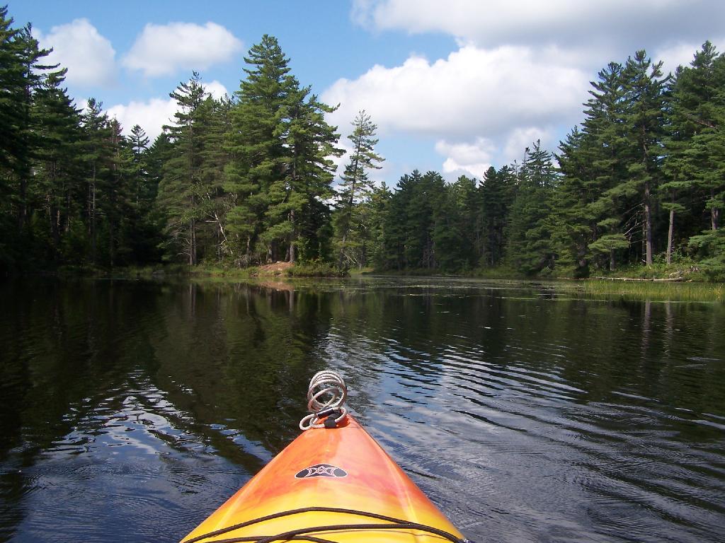
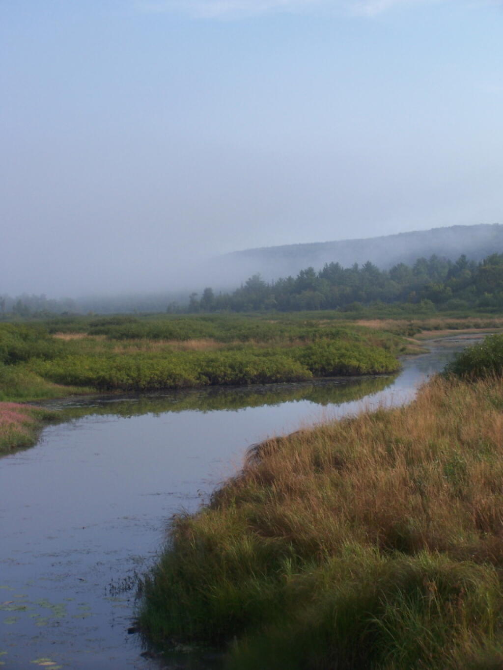
Heading back to the truck, the sun flickers on the outlet of Glidden Marsh.
An amazing hike. Definitely want to come back, and possibly spend a night at Oxbow Pond.
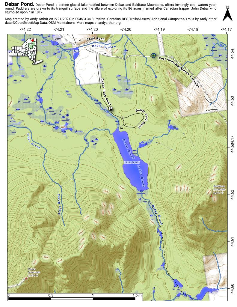
The Bog River Flow, also known as Lows Lake is a spectacular wilderness/primitive area located in South-East Saint Lawerence County. It consists of two dams, Lows Upper and Lows Lower, that create to massive man-made lakes. It is home to over 100 paddle in campsites along with some amazing views and wildlife.
Here is a downloadable map.
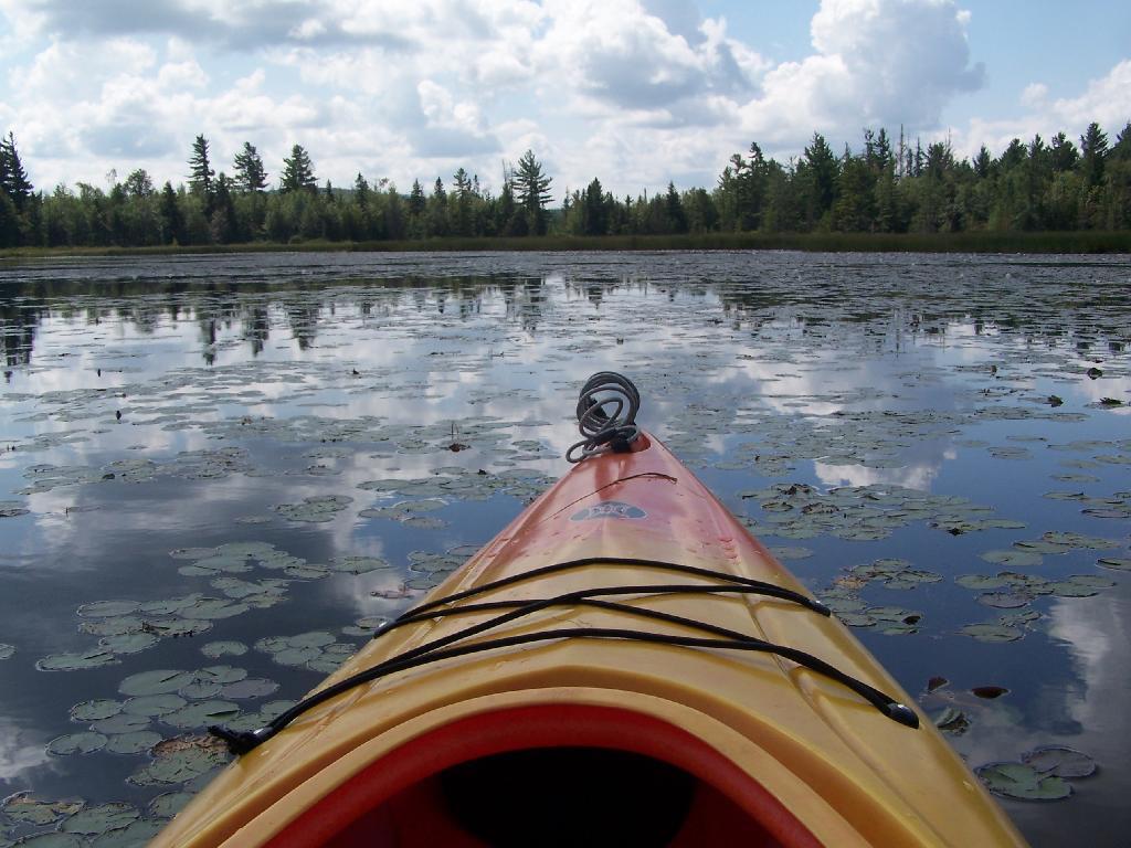
Above Lower Lows Dam. Paddling up the “flooded” Bog River, in the lower portion of Bog River flow, right above the Lower Lows Dam. If this area was not flooded by dams, it would be rapids, unaccessible by canoe or kayak.
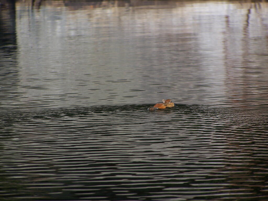
Chimpmunk Swims. This was taken about a mile above the Lower Lows Dam.
Bog River Flow Narrows. The Lower portion of the Bog River, is pretty narrow in part, due to the rocky terrain that it covers. You can easily bottom out a canoe or kayak in these parts, and other parts appear quite deep. There are a couple of paddle-in campsites along here.
Bog River Open Up A Little Bit. The first mile or so of the Bog River Flow is mostly flooded stream. But as you get closer to Hitchens Pond, it starts to widen a bit.
Entering Hitchens Pond. Just past here, is a hairpin turn, as the flooded River, winds a bit, and becomes a much larger lake, in the form of a series of bays and marshes.
Hitchens Pond. Here things open up quite bit.
Lows Ledge. Here is Lows Ledge reflecting into Hitchins Pond. It’s much larger in person then it appears in this picture, unless you have a very big computer monitor.
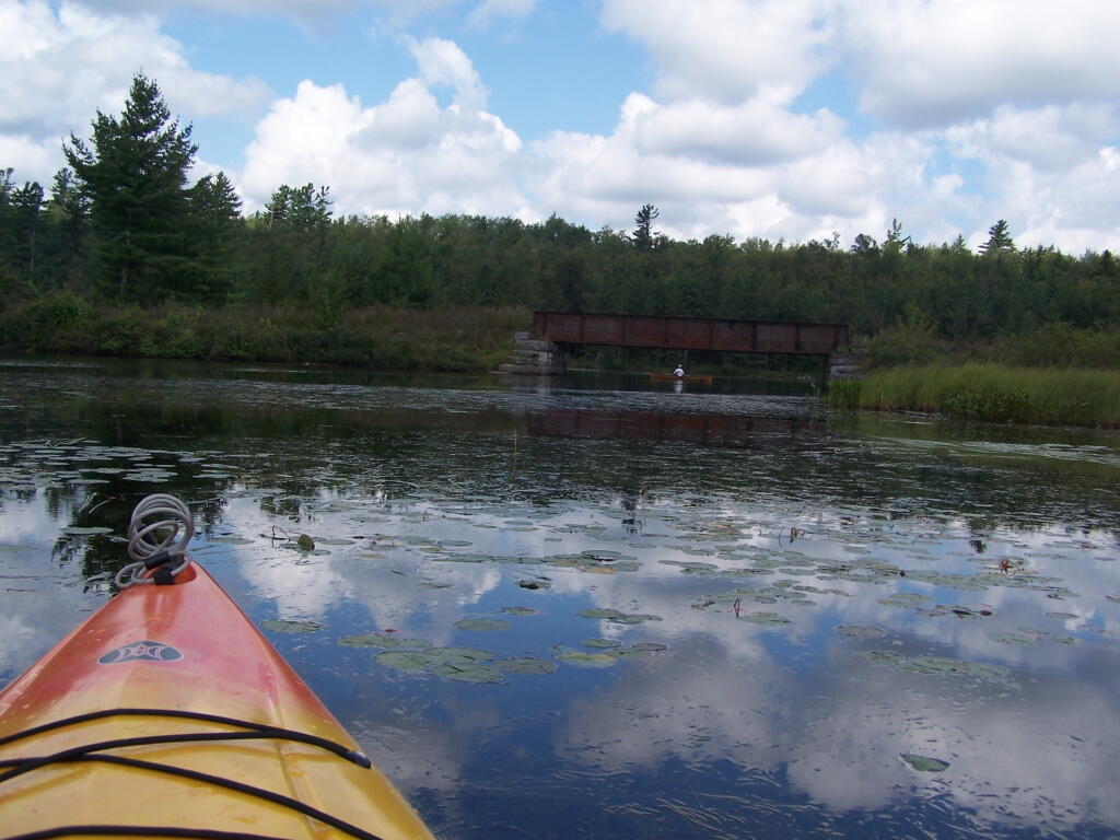
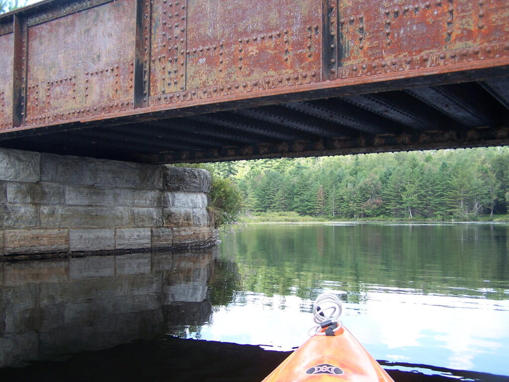
Railroad Bridge. About two miles into Bog River Flow, you cross under a relatively low railroad bridge. It’s actually about 5 or 6 feet above the flow, and doesn’t feel at all cramped in a canoe or kayak.
Under the Railroad Bridge. This shouldn’t be too bad to clear.
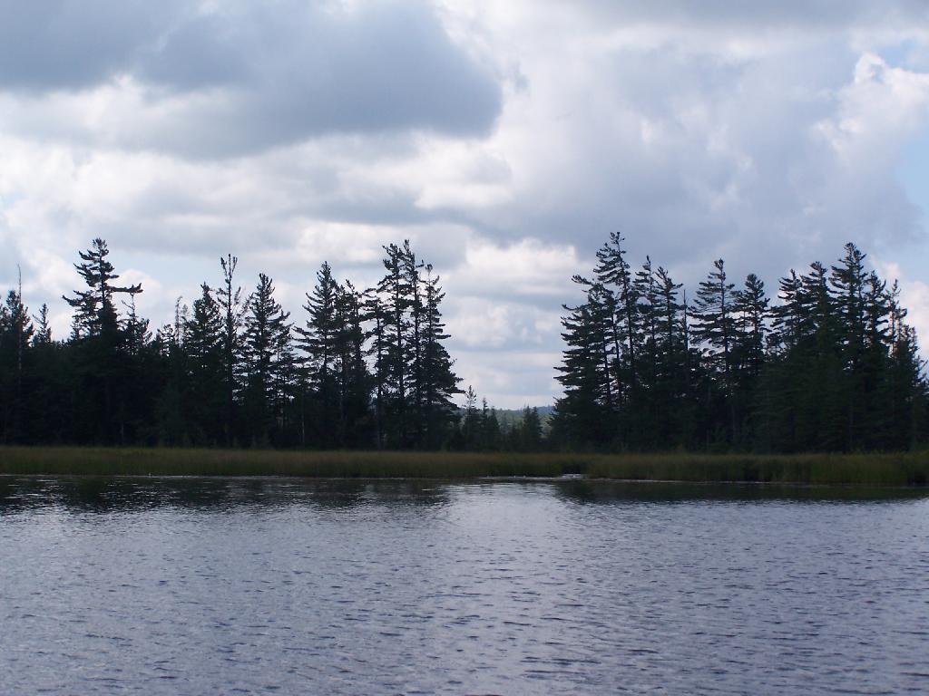
Trees Along Hitchens Pond. This picture can’t even reflect the beauty of this portion of Bog River Flow.
Break Time. Drinking all that beer, meant I had to find a place along the Flow to get out, stretch, and take a piss. Things being so boggy and soft in parts, meant there wasn’t a lot of open area to take a break.
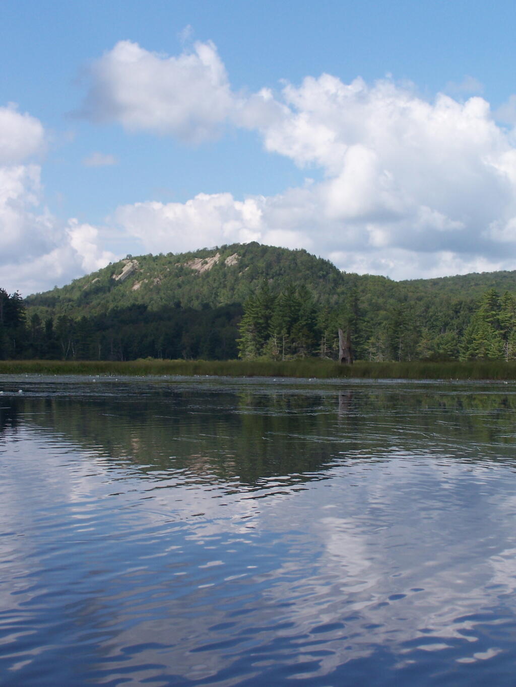
Lows Ledge. I’m now about halfway between Lows Lower Dam and Lows Upper Dam, as the ledge reflects beautifully into the lake. It’s a very spiritual thing for sure, paddling along through this lake.
Clouds Rolling Out. To the south, it looked still quite cloudy. But there was something quiet spiritual about the area, and quiet vast. Something also spoke to me as being Saint Lawrence County, and as vast as one would expect the biggest county in the state to be.
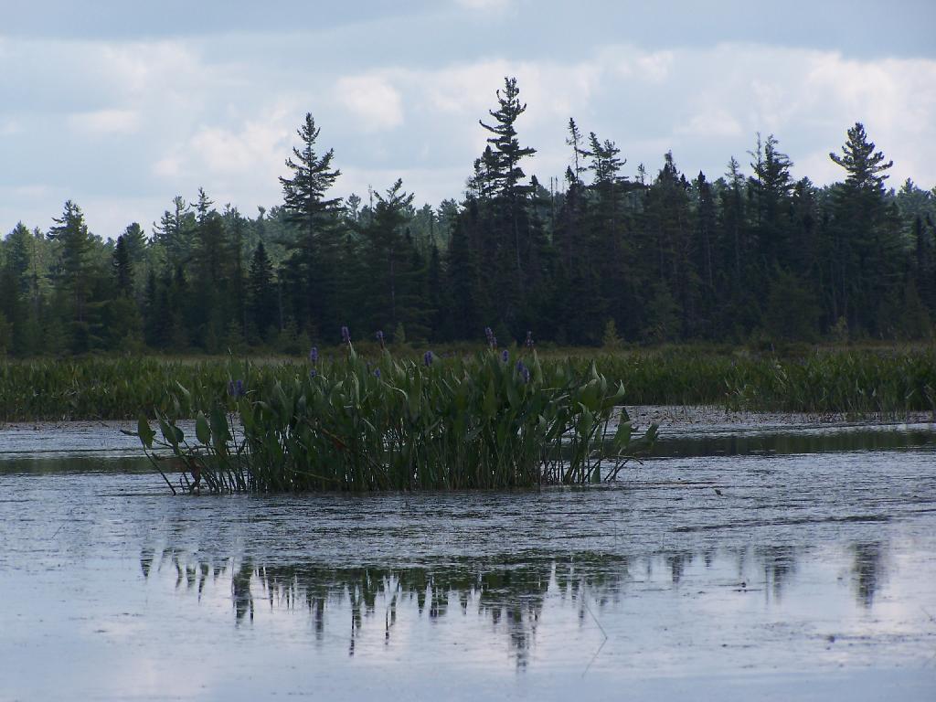
The Channel. The lake turns once again, with beautiful marsh lands along the edge of the lake.
Marshy. Portions of Hitchens Pond are quite marshy, and can be tough going, especially if one gets out of the channel.
Trees. These trees line the last big turn at Hitchens Pond, where you finally get into the main bay, as you head towards the Upper Lows Dam.
Marshland. Along Hitchens Pond as we get closer to Lows Upper Dam.
Lows Ledge. Now we are almost up to the portage for Lows Upper Dam. Quite purty I must say.
Kayakers Pull Out. You have to pull your boat out of the water, and carry it over the Lows Lake Upper Dam, about a 10 feet elevation, and maybe a 50 foot portage.
Bog River Area Pull Off. A lot of people pull out here, for lunch. Or they can be fools, and not use the channel to bottom of the dam, and carry their canoes, an additional 1/4 mile for no real purpose, to get it over the Lows Upper Dam. Not like I would be that stupid, now right? Of course, I just covered my camera with beer, so I shouldn’t be opening my mouth.
Lows Upper Dam. This is the last picture I got for the day, because I dropped the camera in a pool of beer in kayak, and things go wet. Eventually the camera dried out and started to work fine, but for now, we have to go pictureless. From here, the bottom portion of Lows Lake proper, above the Upper Lows dam, is much like the bottom part of Hitchens Pond, narrow, deep channel, that widens up.
Above Upper Lows Dam. This is the channel above the Upper Lows Dam, which technically is Lows Lake now. About a mile up from here, the lake gets shallow, and you must portage up into the more open Lows Lake main section. Yes, the camera lens has beer in it, that now has to dry out before I can take any more pictures. Nothing until tomorrow. It’s my Friday the 13th luck and stupidity of leaving the camera in the kayak, not in it’s protective case, as I pull out, and spilled beer soaks everything.
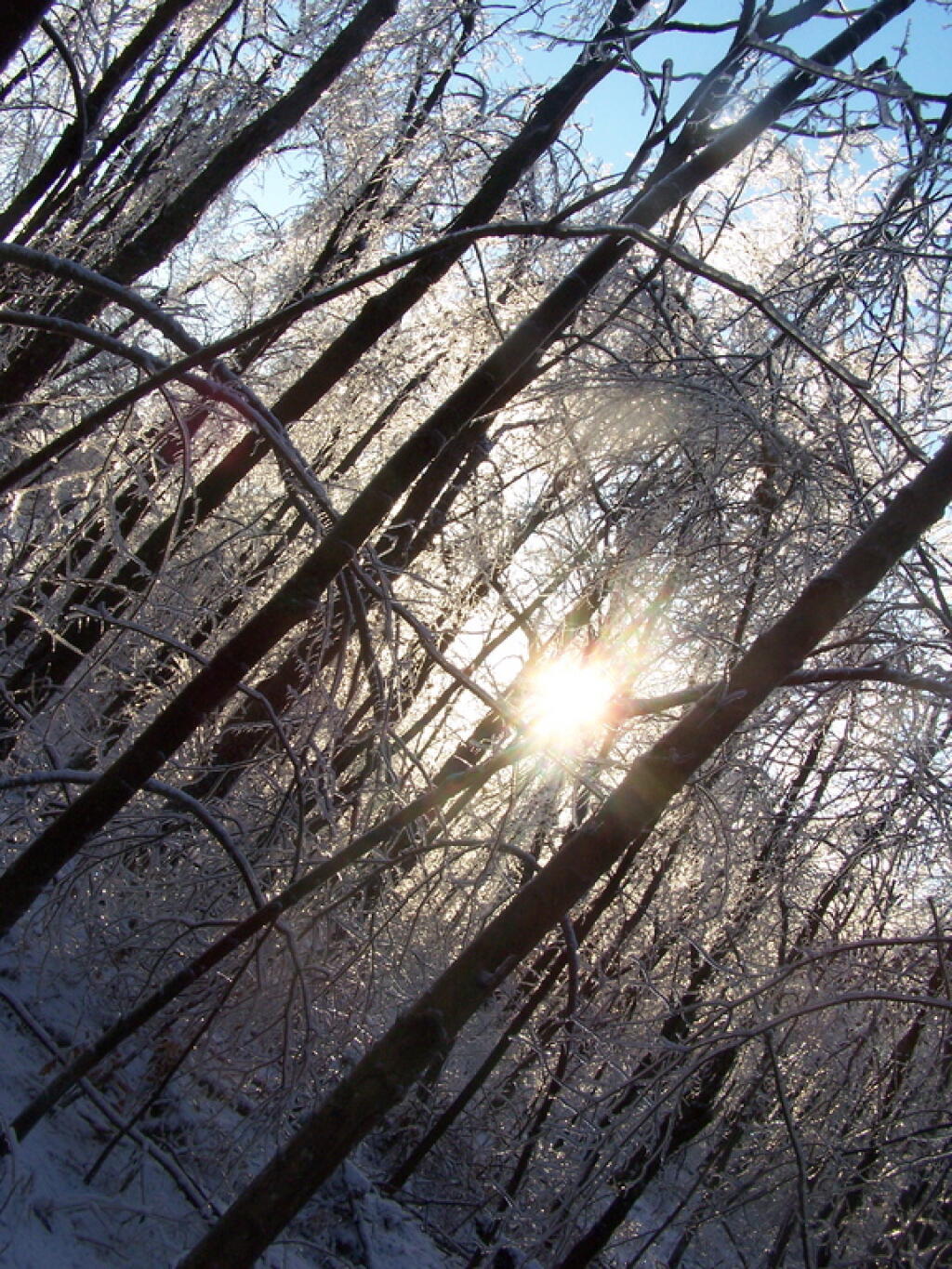
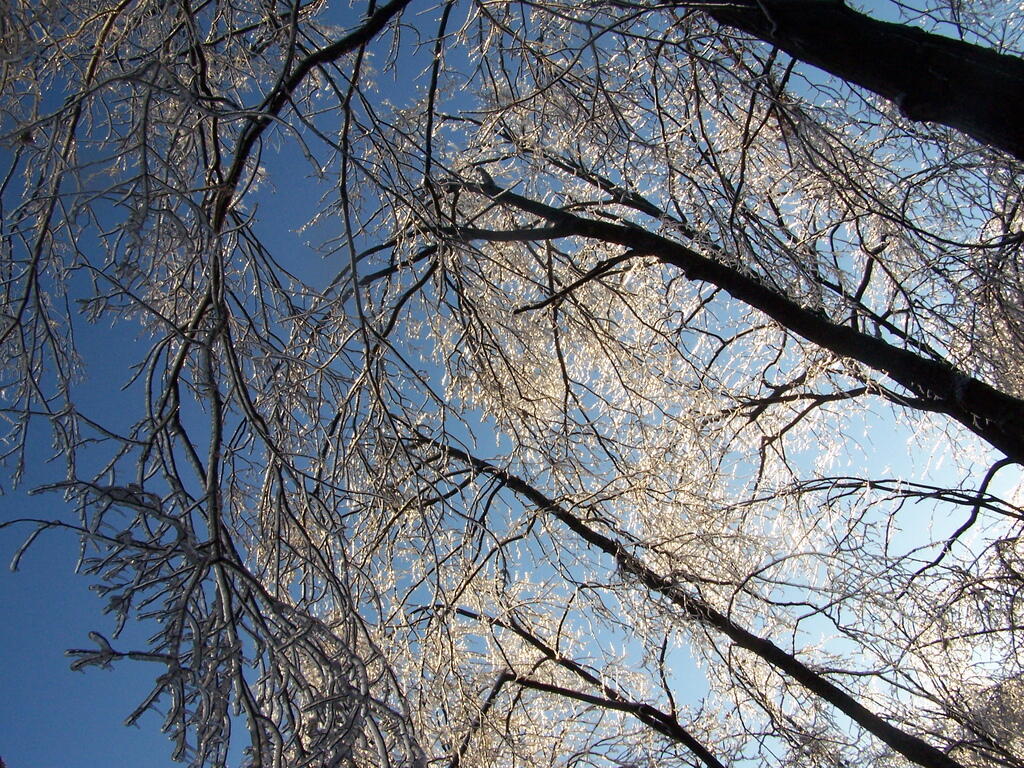
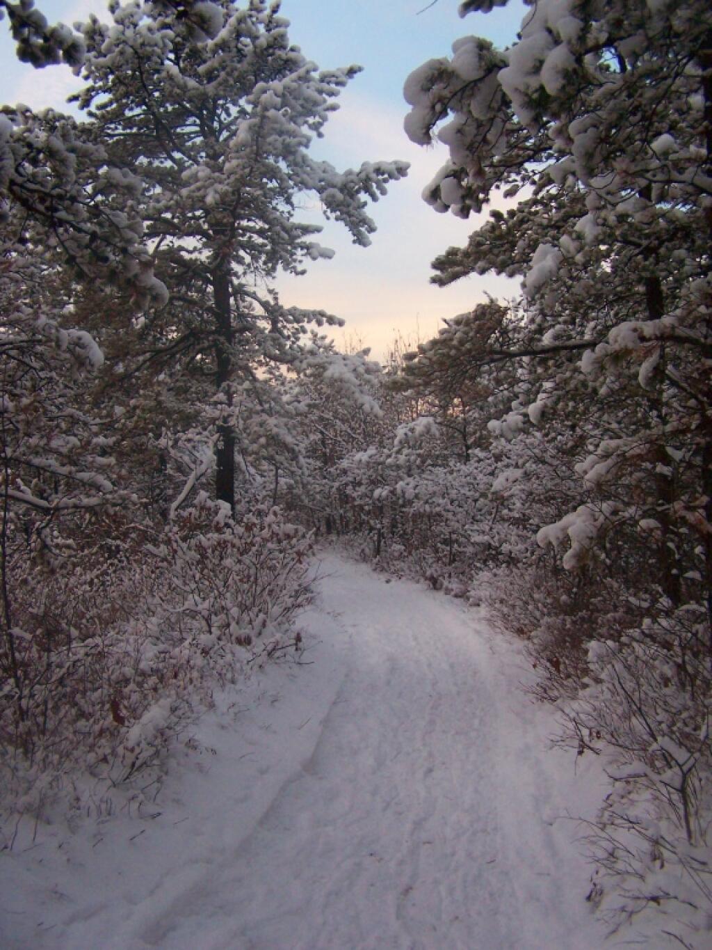
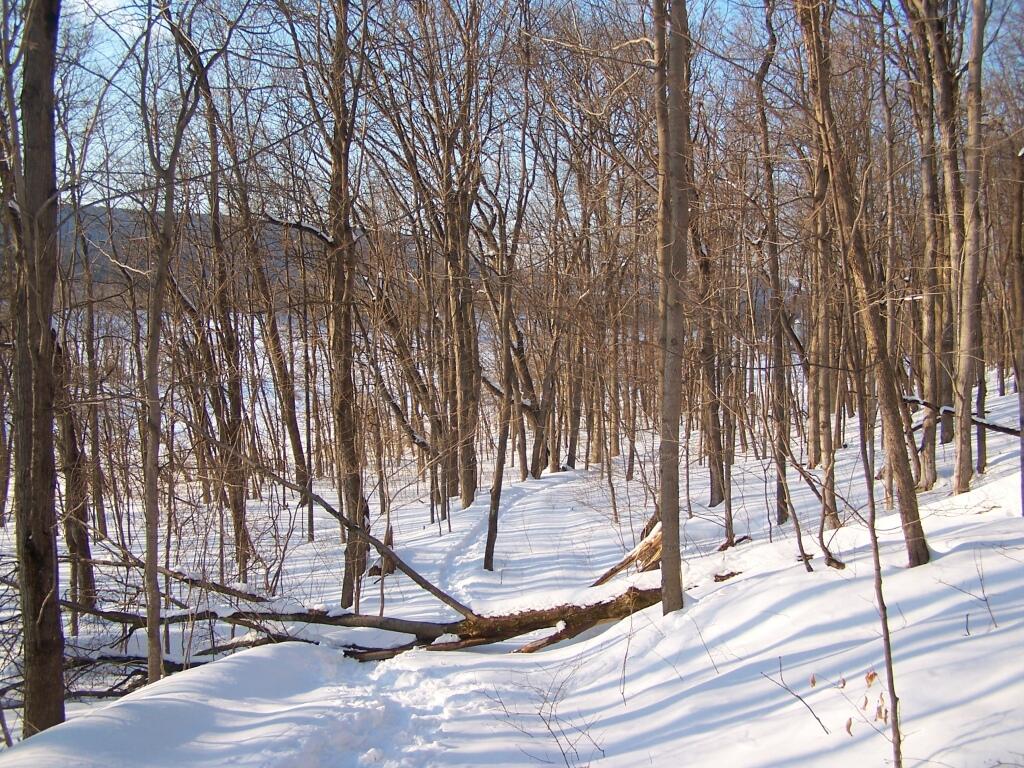
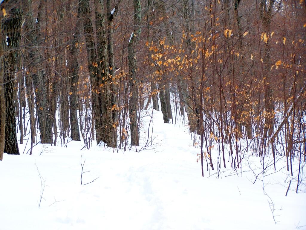
After a fresh snow fall it was a winter wonderland in the Albany Pine Barriens, a forever wild ecosystem on the outskirts of the city. It felt like one was walking through a marshmallow forest.
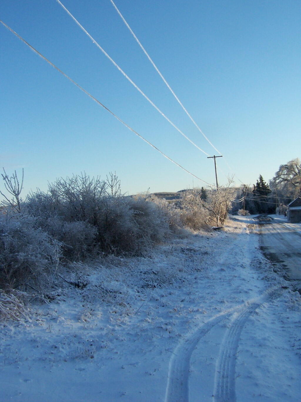
A cold winters day at my parents house in late January, after a long cold spell that never seemed to want to end.
February.
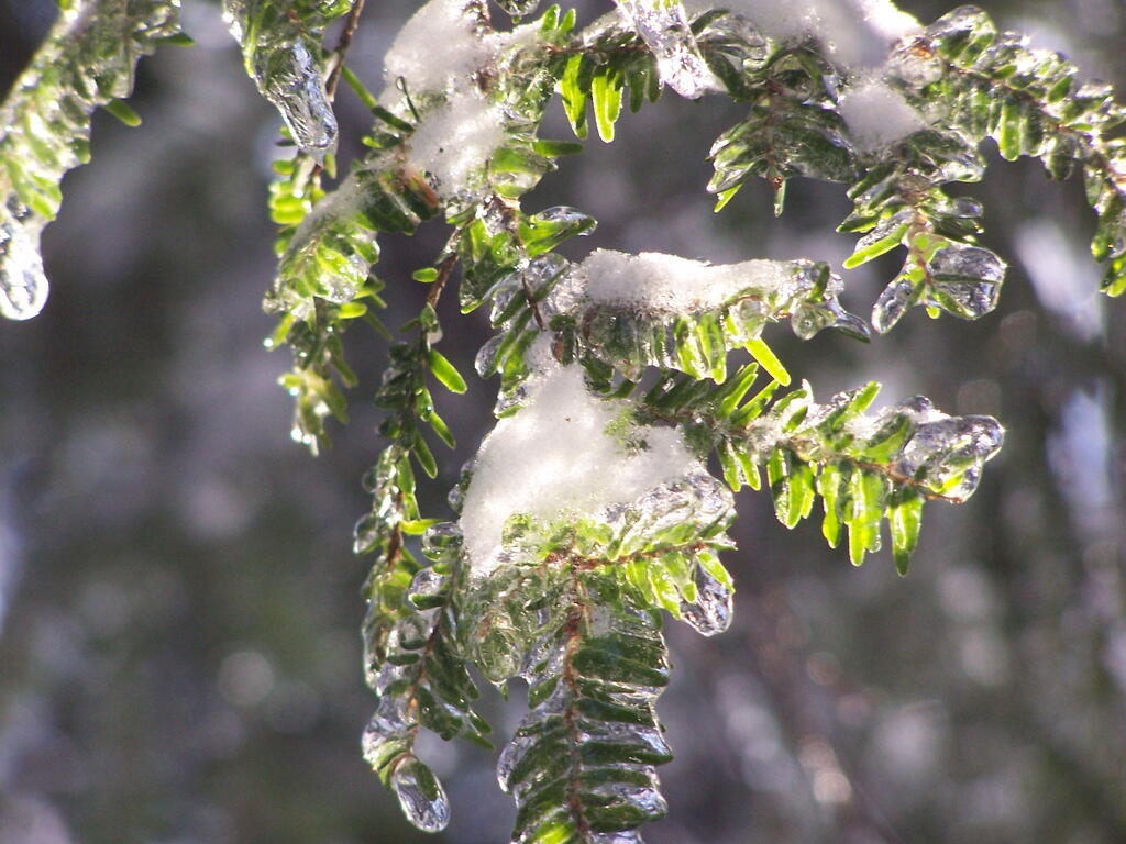
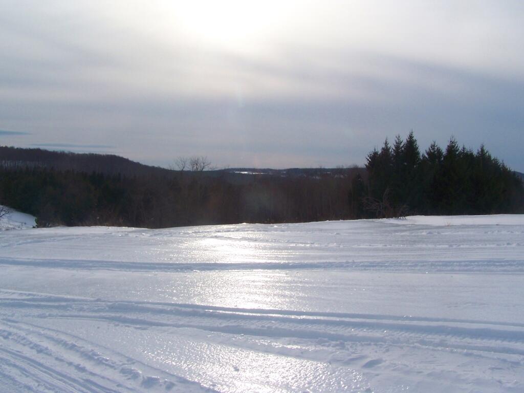
A icy sheen shown on the snow at Partridge Run, as I went for an afternoon walk with the dogs up there in the middle of the month.
Snowshoeing back down Bennett Hill in late February.
March.
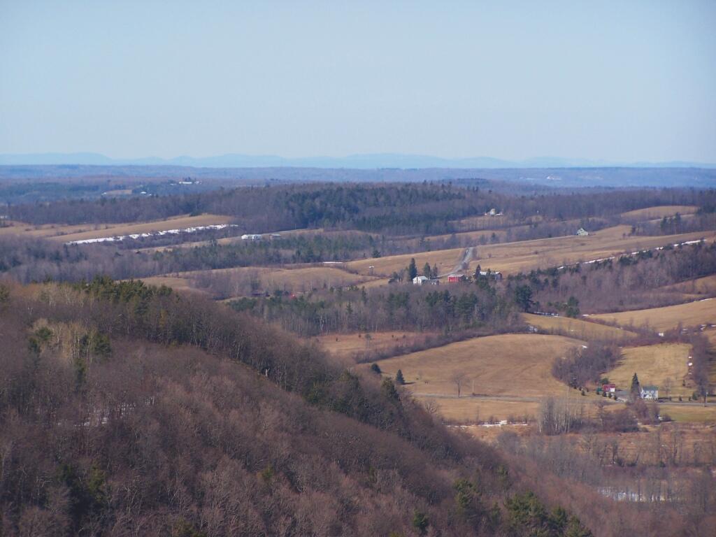
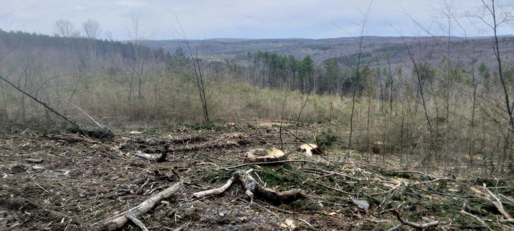
A recently logged section of Cole Hill provided breath-taking views of Irish Hill and the Fox Kill Valley down in Berne.
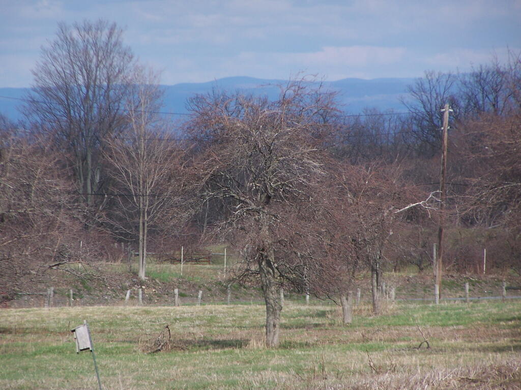
What a clear spring day up at Horseshoe Clove at Thacher Park. Warmer, nicer days can’t be far way.
April.
April 9th was the first day I got out camping in 2011. Spent the day exploring Rogers Environmental Center, camped at Moscow Hill Horse Assembly Area.
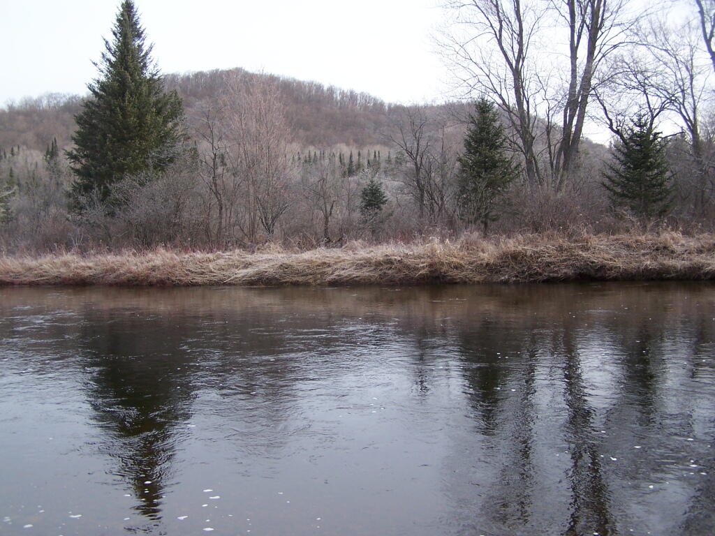
It may start to warm up earlier in lower elevations, but winter is still very much a force in late April in the Adirondacks. The East Sacanadaga River on this morning looks icy and cold.
May.
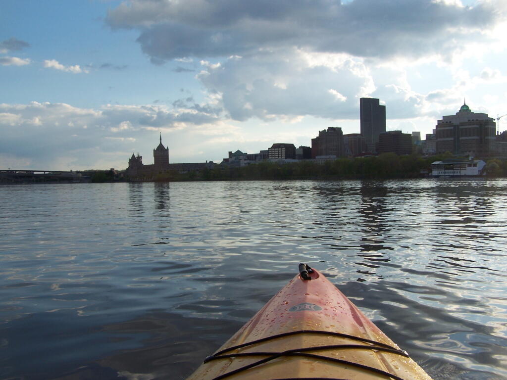
There’s Albany! From my kayak. I kayaked up to Downtown Troy from the Corning Preserve.
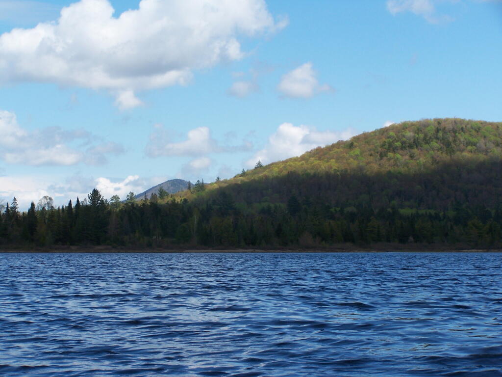
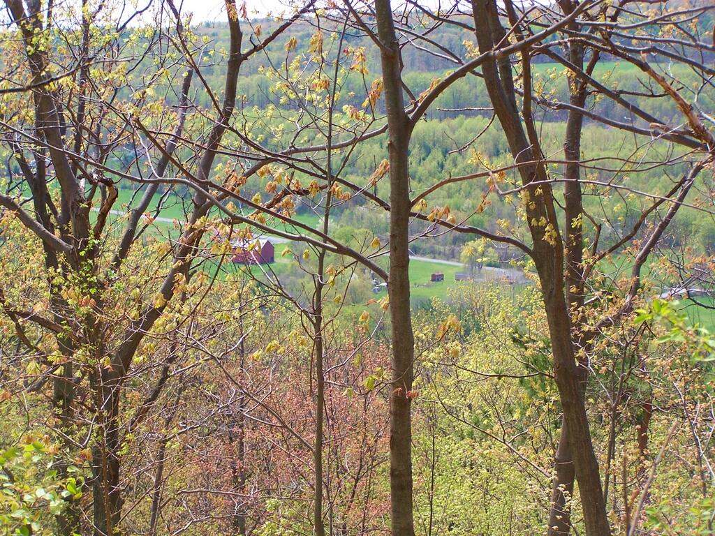
Spring finally comes to Adirondacks by late May. Paddling around Cheney Pond, looking towards Sand Mountain in the distance, on the other side of Hoffman Notch.
June.
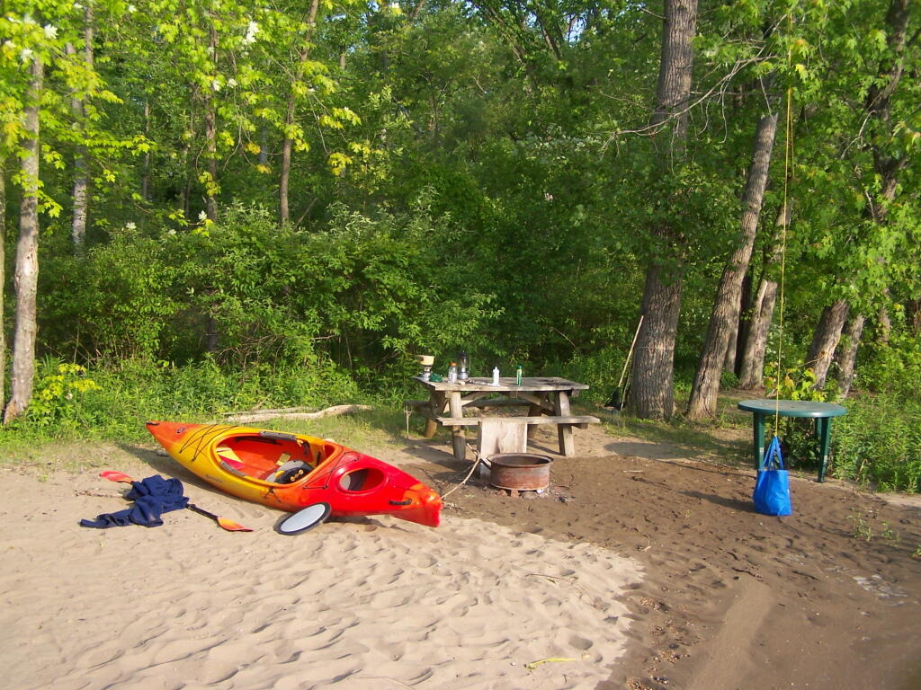
Kayak camping on Stockmans Island in the middle of the Hudson River. What an adventure, one I picked on a night when they had fireworks up at the Coxscake Town Park.
Oswegatchie River up in Watson’s Triangle in Adirondacks. There are few places as remote as this that you can drive on largely unmarked and rarely traversed back country roads. Watson’s Triangle is a place far of the beaten path.
July.
A dramatically cloudy day, looking down towards Tupper Lake from Mount Arab.
Cooling off at the Potholers on an oppressively humid summer’s day.
August.
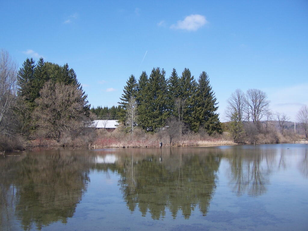
Exploring Beaver Creek at the Brookfield Railroad State Forest in Brookfield, NY.
Watching the fog burn off Beaver Creek at Brookfield Railroad State Forest on a summer morning..
September.
A beautiful late summer morning at North Lake in Adirondacks. North Lake is such a jewel, especially as you head farther north on the largely undeveloped portion of the lake.
Fall was well underway, and even past peak at Moose River Plains by September 20th.
October.
Second week of October, I went up to the North Country for some leaf peeping, hiking, and kayaking. The colors may be faded in Central Adirondacks, but still were good in lower elevation parts of the Northern Adirondacks.
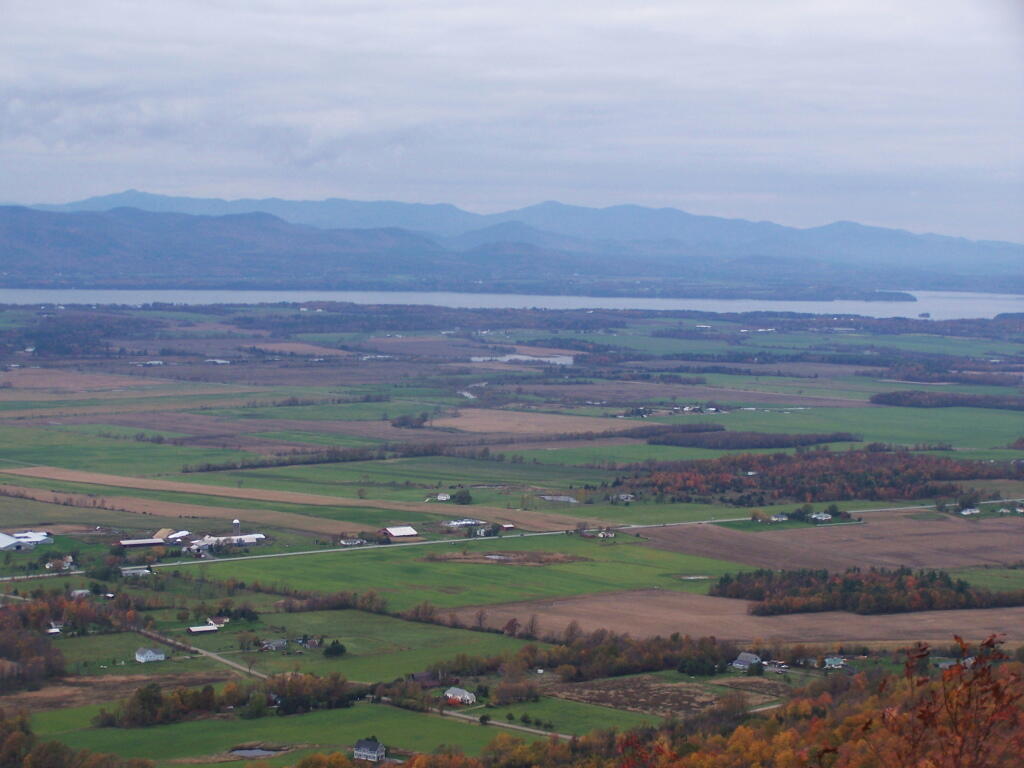
And later in October, I drove up to Snake Mountain in Vermont, overlooking the Champlain Valley and the Adirondacks. Colors lasted the longest
And by October 30th, we had snow, actually several inches, as seen up at Lake Taghkanic State Park.
November.
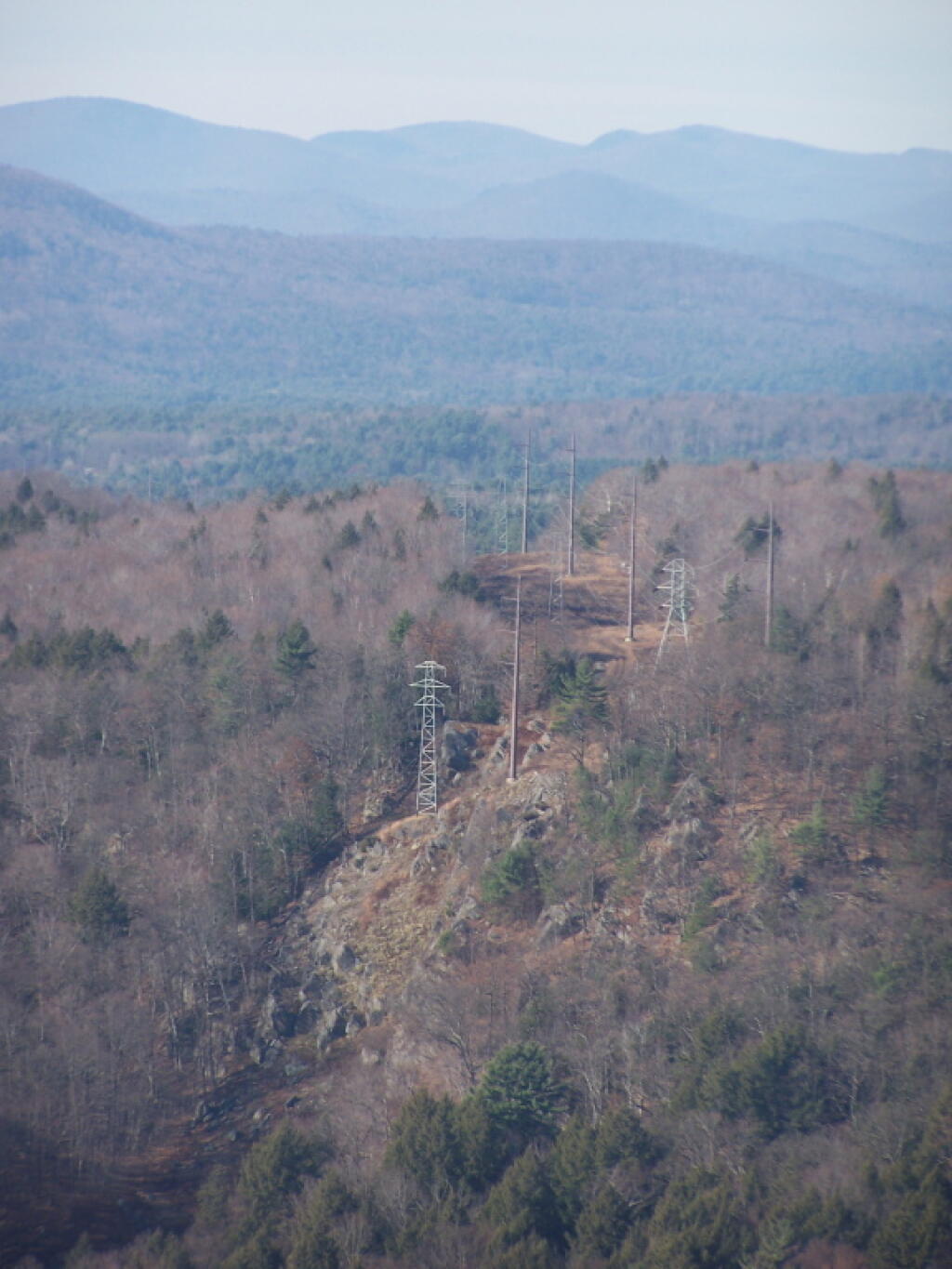
In November I visited Monreau Lake State Park for the first time, and checked out the Palmerstown Ridge above the Hudson River and Spier Falls. These power lines transfer power from Spier Falls Hydro Dam over to Corinth.
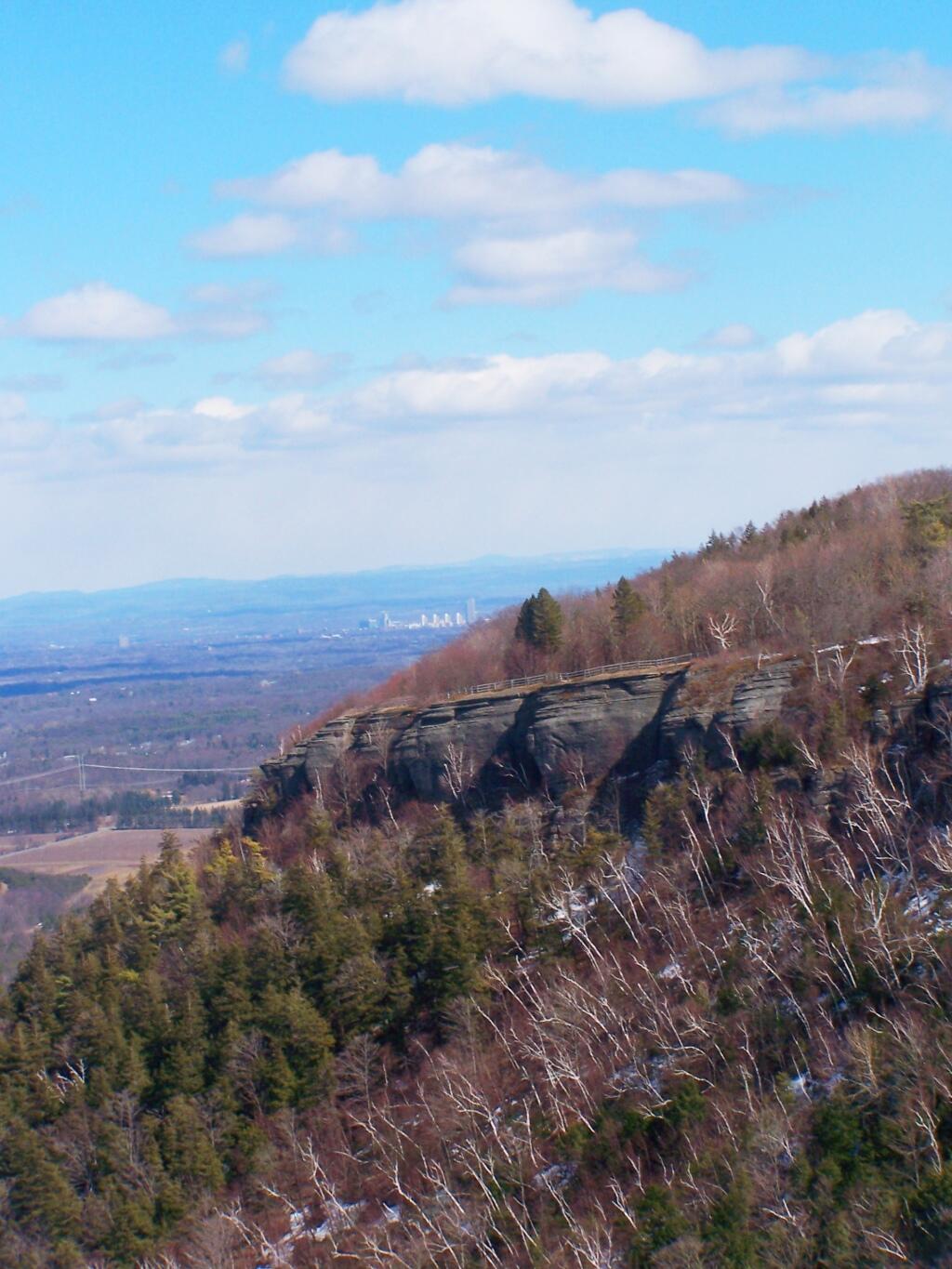
I also hiked up Windham High Peak. I hadn’t been there in many years, and it was interesting to look down at Preston Hollow and Medusa, far, far below.
December.
On Christmas Day, I hiked up Hadley Mountain. While cloudy and cold, it was very beautiful.
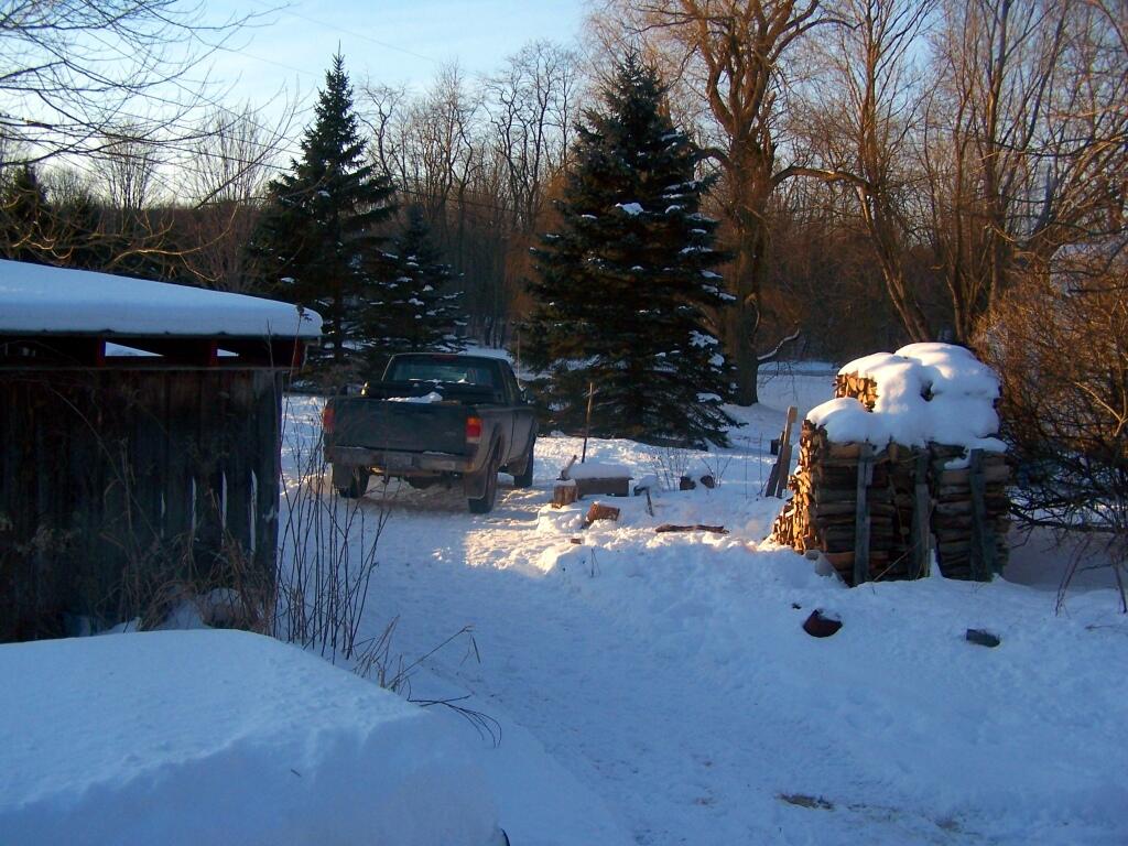
While the pond at Thacher Park was frozen, there still is very little snow locally.
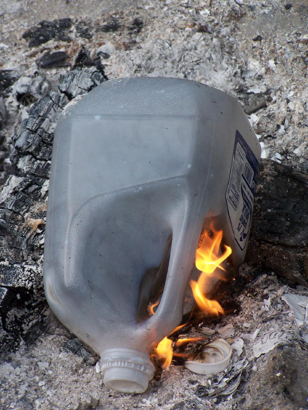
Step 1: Light the lighter and set the milk jug on fire.
Step 2: Milk jug starts to melt and burn.
Step 3: Milk jug collapses on itself.
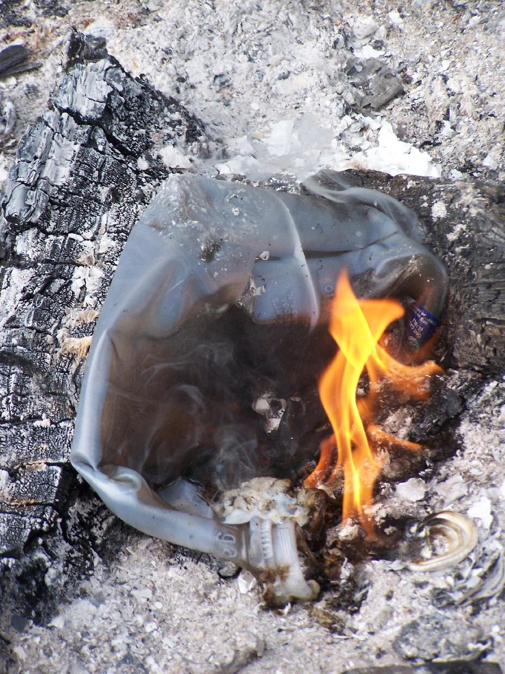
Step 4: Milk jug 3/4 gone; reduced to melted plastic, carbon dioxide, hydrocarbons, and water!
Step 5: It keeps burning up and disappearing.
Step 7: It’s almost entirely gone.
Step 8: All that’s left is a little resin left in the coals.
The fire has almost completely disposed of this milk jug that was previously just trash that otherwise would have lasted forever in a landfill. The fire will eventually burn out, and what remains will be burnt up in the next fire.
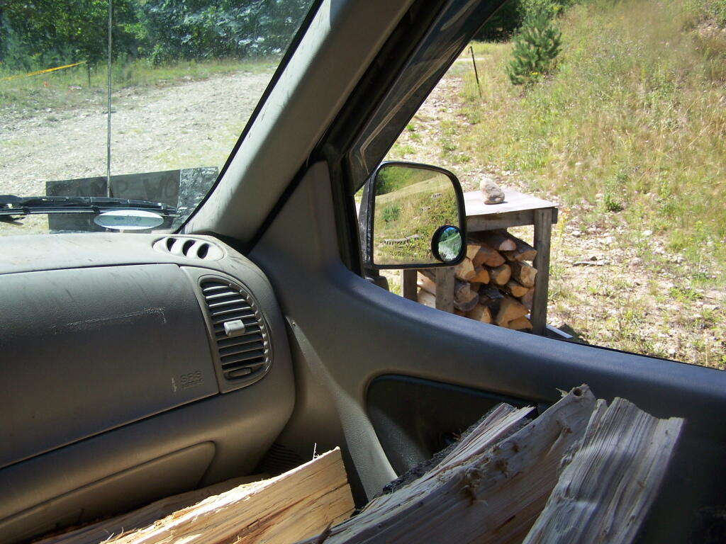
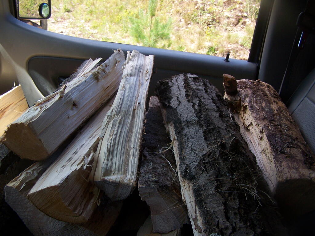
Buying Firewood. There is this great place for campfire wood on Cedar River Plains Road, about 8 miles in. You get a lot of wood for $5.
Cab Full of Firewood. The seat and floor boards where stacked with firewood. It kept me going for the next 4 days, although I really didn’t have big fires until the last day when I was up at Mountain Pond. That may have violated DEC firewood regulations, at moving the wood 60 miles, but too bad. It’s my wood.
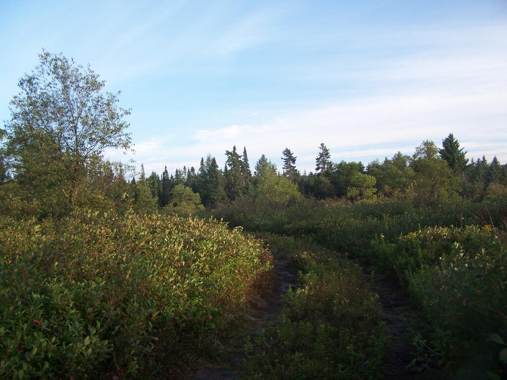
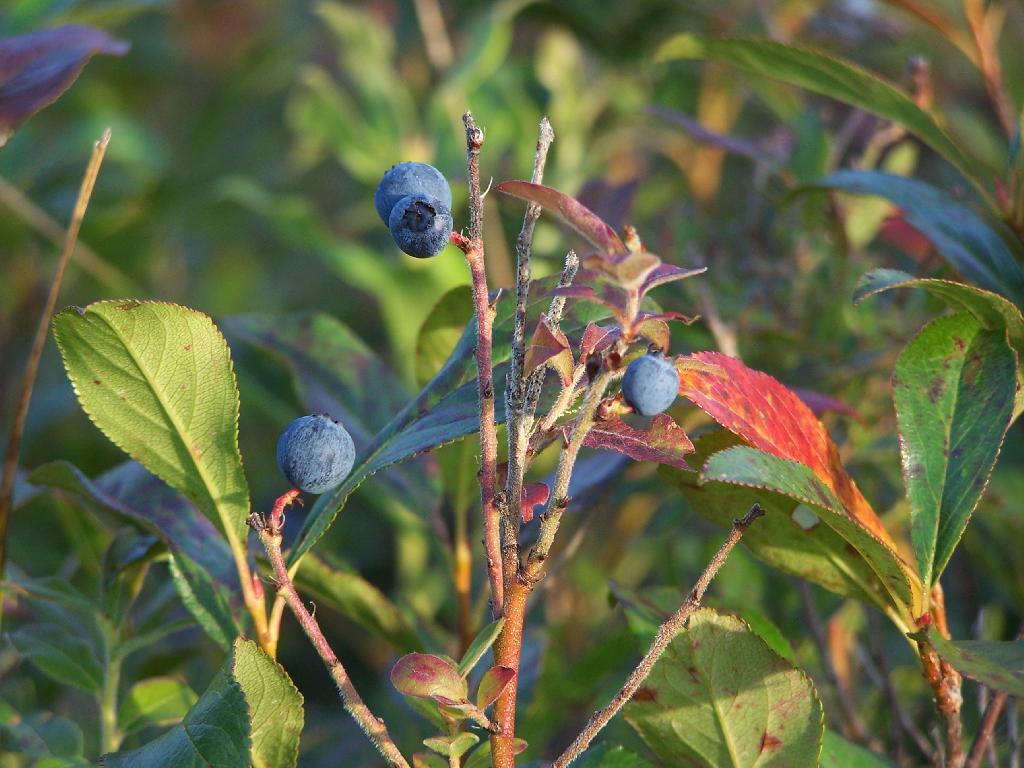
Wild Blueberry Fields. I decided I wanted to drive up there from Cedar River Flow, to eat some, because I knew they would be in peak. This is an hour away (or 15 miles away at 15 MPH), up in the sandy plains of Moose River Plains from Cedar River Flow. These are some of the best blueberry fields in the Adirondacks, and despite being in season for three weeks and very popular, still have many berries to pick.
Blueberries. All I can say is delicious. And so numerous, as you look around all you see is blueberries.
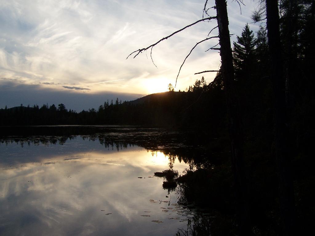
Helldiver Pond in Evening . Watching the sun set over Mitchell Ponds Mountain.
Moose River Plains Road After Dark. It’s an interesting road to drive after dark, being so narrow, twisty, and rough, especially after drinking all day.
Camping at Site 8. This is down by the Wakely Dam. The prior day I spent paddling around Cedar River Flow and up the river a ways.
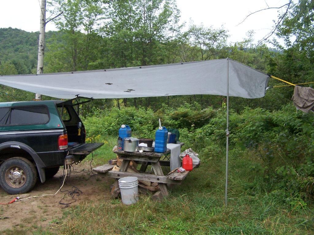
Picnic Table. I have yet to pick up my gear. It took a while to figure out which trees to use to set up the site, but ultimately with the steel poles, I got it set up.
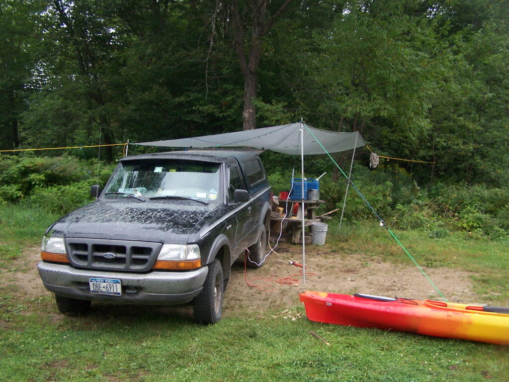
Kayak Tying Down Tarp. I couldn’t quite figure out how to keep the tarp tied down. I tried to use a wood stake, but it kept pulling out of the ground. The kayak worked well for this purpose.
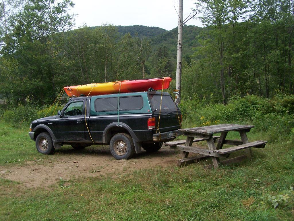
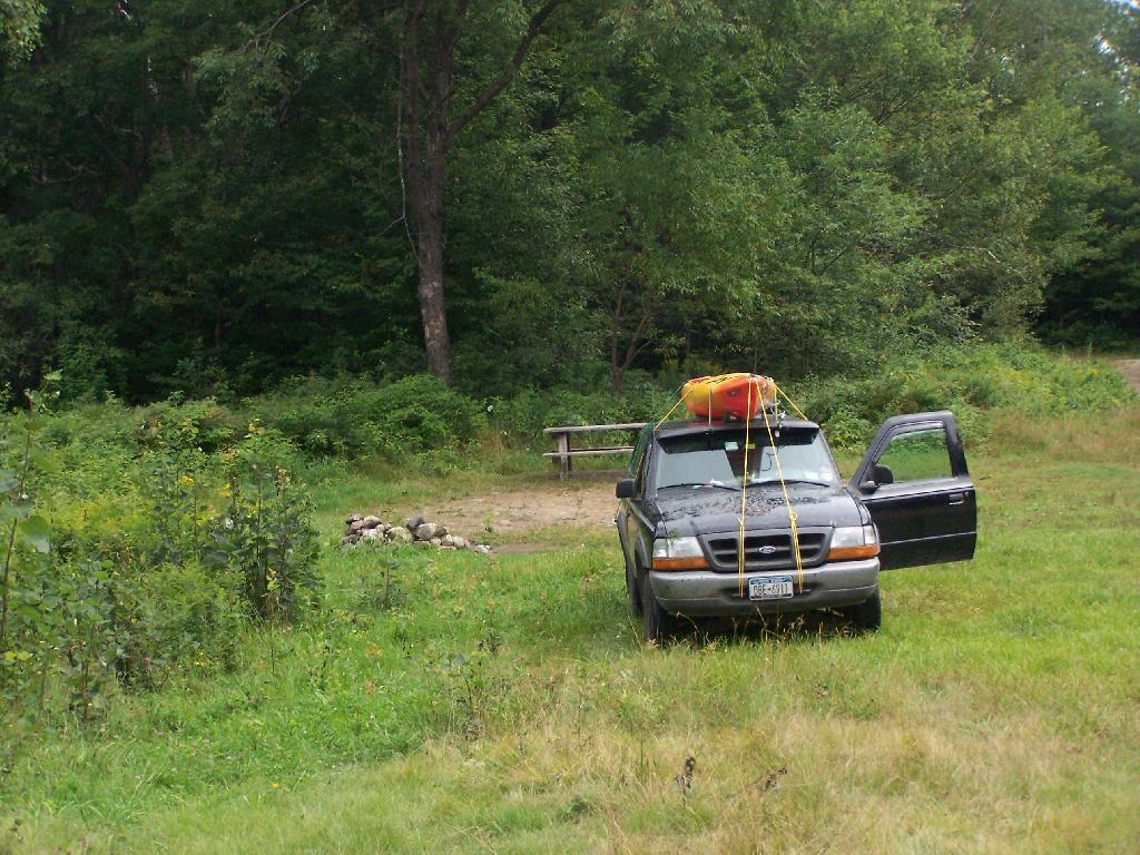
Packed Up and Ready To Go. See I’m all packed up and ready to go. Kayak is on the roof, and the site is all cleaned up. I don’t leave a mess or do ny kind of damage to site. Anything unburnt in the fire pit, I haul out.
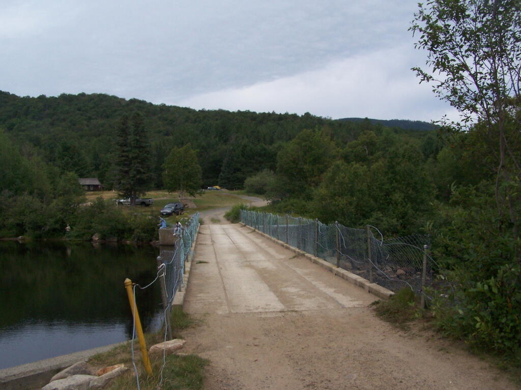
Heading Across Wakely Dam. It certainly is not a real pretty morning out there. So be it.
Cedar River Flow Campsite No 8. It’s a pretty descent basic little campsite. Now off to Owls Head Mountain Firetower.