essays

Where to Camp in Black River Wild Forest

I have spent a lot of this past summer exploring the Black River Wild Forest, and decided it would be a good to share my experiences and some of the roadside and other campsites I’ve discovered along the way. As of September 2011, Lands and Forests in Albany doesn’t have these campsites in the central inventory, so all of this campsite data is based on personal exploration of these campsites.

North Lake.

Some of the best camping in the Black River Wild Forest is North Lake in Atwell. There are 22 campsites — many of them vehicle accessible along this man made lake. The southern end of the lake has some private houses and cabins on it, but it still is relatively pristine and beautiful. Most sites have outhouses and fire pits. Some but not all sites have limited wood supply. All sites designated.

Motors are allowed on this lake — as are on all wild forest lakes — so don’t be surprised to hear a jet ski or small boat on there. There are no public boat ramp on lake, so only hand launched boats can get on the lake.

Click to download or print this map.

Total Greenhouse Gas Equalivent, by Country

South Lake.

South Lake is another Erie Canal Corp / Black River Reservoir near North Lake. There is a single large campsite on South Lake, with a private in-holding on the other side of the lake. There may be other campsites here, as I didn’t explore this whole lake. There is an outhouse here, grassy field for camping, fire pit.

Click to download or print this map.

Hudson Valley

Reeds Pond.

There are a couple of campsites along Reeds Pond, North Lake Road, and Farr Road as you head up to North Lake from Forestport. This pristine, but relatively small pond is fairly popular for camping.

Click to download or print this map.

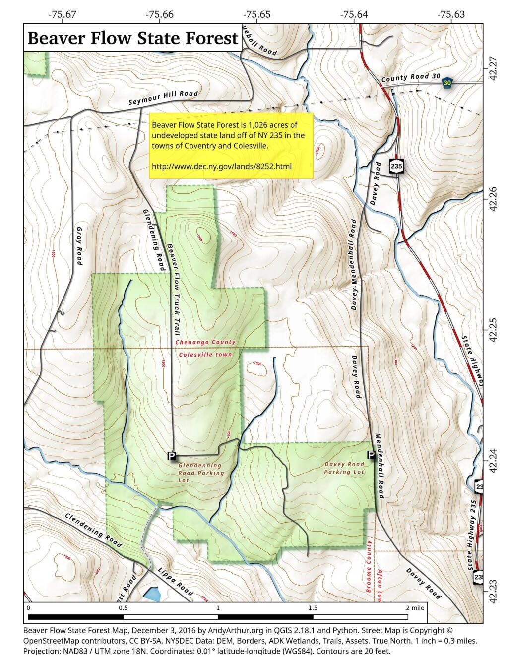
 Beaver Flow State Forest

Wolf Lake Road.

There are 5 fairly remote roadside campsites along Wolf Lake Road, as you head down to Woodhull Lake. Note also how there are lean-tos at Bear Lake and Woodhull Lake. The roadside campsites have no facilities, and some can be muddy as they are not hardened with gravel.

Wolf Lake Road has recently been rebuilt and resurfaced with gravel, however spring rains did lead to one part that may lead low-clearance cars to bottom out. Camp on this road, and your unlikely to see more then 2-3 people drive by on any particular day.

Be aware that the last 1/8th of a mile to Woodhull Lake is gated, so you’ll have to carry your boat the rest of the way down to the lake.

Click to download or print this map.

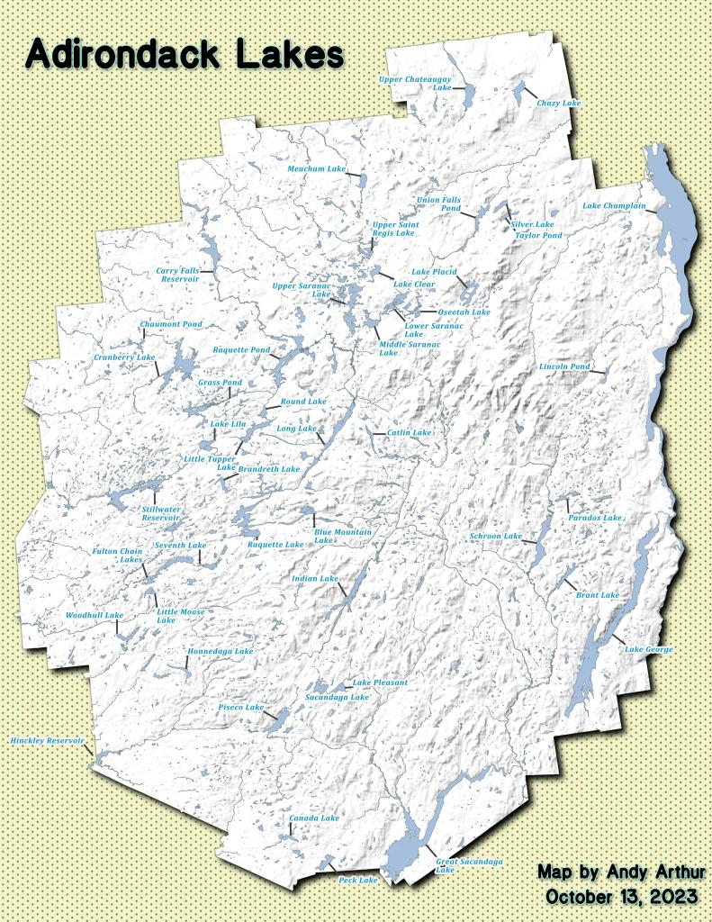
Adirondack Lakes

Remsen Falls.

Remsen Falls, which probably should be called “Remsen Rapids”, is a popular swimming place, and offers two well used campsites. There is an outhouse and picnic table down here. The trail follows a gated dirt road.

Click to download or print this map.

Roadway

Is Local Government Pointless?

There are something like 965 towns, cities, and villages in NY State, along with 64 counties. All of them have elected officials, and civil servants providing mostly state and federally mandated services.

Autumn

The question is why do we even have local government anymore?

Nobody questions that the services of counties and towns are important, but in many cases they duplicate what the state currently does. Few governing decisions are made locally anymore. Most local government decisions are made with significant state involvement or influence, in the form of state regulations, state permitting, or in many cases actual laws passed by the state.

Local governments have a lot less freedom to make decisions that many pretend. All are highly dependent on state to go along with them. Most so-called local decisions are essentially decided at the state level. Local governments like to pretend they have significant control and power, but the reality is as creatures of state, and due to economic competition by surrounding towns, they are essentially powerless to decide their futures.

Albany in July

Local government is an idiom of an earlier era before modern communication techology, and modern transportation. Local government is from an era of horse and buggies. Local government tends to be stocked with well-connected political families and patronage. Local government tends to be totally ineffective, in an era when regional and indeed nationwide planning is needed, when any local decision can have vast impacts far beyond it’s own borders.

In a modern technocratic era, local decision making makes little sense, and squanders important public resources.

Delightful Fall Hikes

Pillsbury Mountain (Central Adirondacks).

Located in the Jessup River Wild Forest, North of Spectulator, offers great views of West Canada Wilderness, Cedar River Flow, Moose River Plains, Spectulator Tree Farm, Siamese Pond Wilderness. Should be close to peak foliage now. Consider camping at the roadside/tent campsites along Mason Lake to the North on Jessup River Road / NY 30. Take NY 30 to Jessup River Road to Military Road to Parking Area to get there. You may want to park at the start of Military Road if you have a low-clearance vehicle.

Snowy Mountain

Click on map to download and print.

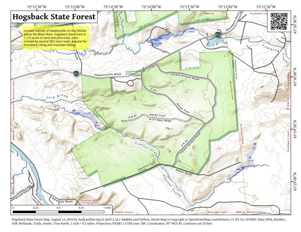
 Hogsback State Forest

Hadley Mountain (Southern Adirondacks).

Located near Stony Creek, NY, it offers some great views of the Wilcox Lake Wild Forest and the Great Scanadaga Lake. I’ve never been there in the fall, but I suspect it offers many great views this time of year, with peak foliage being not far away.

Looking North

Click on map to download and print.

Gully

Buck Mountain (West Shore Lake George, Adirondacks)

This is one of my most recent hikes, but definately offers really good views of Lake George and elsewheres, especially now that the fall colors are starting to set on in. One of the more difficult hikes on the list, it’s not really that difficult, but if you go from Pilot Knob, expect a 3.1 mile hike, and gaining around 2,100 feet in elevation. Regardless, a very nice hike.

2022 NY Congress Results Map

Click on map to download and print.

Route 9 & 20 in Rensselaer

Kaaterskill Clove (Haines Falls, Catskills).

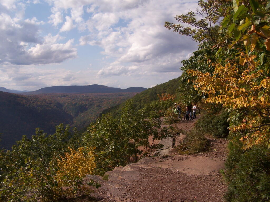
Located near the North South Lake Campground, offers great views of the Clove, Hunter Mountain, Palenville, Hudson River, and farms and other lands near Catskill. Park on Scutt Road for free, which is last right before campground. Take Escarpment Trail all the way around to the Catskill Mountain House Ruins, then walk past North-South Lake.

* Area may be temporarily be closed due to Irene.

Inspiration Point

Click on map to download and print.

 Ferns Covered Woods

Giant Ledge (High Peaks, Catskills).

Located on the ledge between Slide Mountain and Panther Mountain, a relatively easy hike, with a relatively brief but not scary scramble onto the ledge that runs for 3/4 mile. Colorful views of vast Woodland Valley with Mount Tremper and other mountains in the distance, along with good views of Slide Mountain, Cornell Mountain, and other hike peaks.

* Slide Mountain Road was severely damaged by Irene. Area may be temporarily be closed due to Irene.

Untitled

Click on map to download and print.

When Thanksgiving Falls, 2000 to 2099

Moose River Plains Maps (September 2011)

This past week, I decided to re-do the Moose River Plains Maps I had previously rendered in QGIS. I got some new data from the DEC, and wanted to simply the existing maps by taking off Wilderness Boundaries, and other details not of particular interest to hikers, campers, and kayakers. I also removed campsites that are in process of being removed or relocated under the finalized Unit Plan for the area. Be aware that the elevation on these maps is metric, as that’s what the NYSDOT Topographic Maps use in this region.

Click on any of the maps to display the high resolution version, that you can download and save, or print. Laser printers are great, especially for the Cedar River Flow Maps, as they’ll keep the ink from the running. All of these maps are free for you to use and distribute as they are based on public data. If you have ideas on how to improve these maps or seek similar maps of the area of other trails or locations, please feel free to contact me at andy@andyarthur.org.

There is no charge to camp here, however if you plan on staying more then 3 nights, you will have to a get a free permit from the forest ranger. Most campsites offer picnic tables, fireplaces or rings, and outhouses. Moose River Plains are all back country dirt roads, with a speed limit of 15 MPH, and there are some rough sections on the roads. As of September 2011, all of the roads shown on these maps are open.

Moose River Plains Camping Area.

Roads are red, hiking trails are black dotted lines on the map. All of the campsites in pink shaded area (“Moose River Plains Camping Area”) offer vehicle accessible camping including RVs and other tow-behind campers. The campsites outside of the “Camping Area” — specifically those on Otter Brook Road — will in the future be reserved for tent camping (most with vehicle accessability) except during Big Game Season when campers will be allowed at all sites. Most of the other trails with campsites on them offer wheelchair or mountain bike accessiability, as they tend to be gravel paths.

 Clouds Closing In On The Catskills

Moose River Plains Campsites.

Note: Campsites are numbered starting from the east, as you are coming from Cedar River Flow, heading towards Limekiln Lake. Many campsites have been closed or added over the year, and that’s why there are many gaps in the numbering system.

 Almost To Bus Stop

Beautiful day

 Summer Evening

muni-pop-percent

 Canastota Gorge

 Almost To Bus Stop

Cedar River Flow and Wakely Dam.

Cedar River Flow is a popular destination at Moose River Plains. In many ways it’s the gateway to Moose River Plains, as you reach Wakely Dam, which holds back the waters of Cedar River Flow as one of your first destinations heading West on Cedar River-Limekiln Lake Road from Indian Lake.

The Cedar River Flow is a popular lake for canoeing and kayaking. There are several designated and undesignated campsites along Cedar River Flow, with the designated ones shown on the map. There are also a handful of campsites, closely grouped together at Wakely Dam. The Cedar River is navigable for several miles upstream, and some people will paddle to the Lean-To on Sucker Brook Trail.

Cedar River-Limekiln Lake Road

 Winter

Wakely Pond and Wakely Dam Areas.

Along the Northville-Placid Trail near Wakely Pond there are several designated tent campsites. A map of Wakely Pond-Wakely Dam Areas, and the rapids downstream of the Cedar River Flow.

 Wilcox Lake

Wakely Mountain Firetower.

By far one of the most popular destinations in the area is the Wakely Mountain Fire Tower. It offers truly spectular views of Moose River Plains, Blue Ridge Wilderness, West Canada Wilderness, Fulton Chain of Lakes, and even the High Peaks.

Same-Sex Households by Congressional District

Other Popular Hikes.

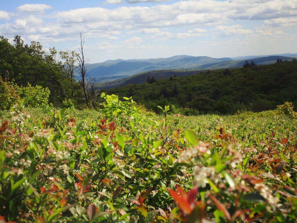
 Blueberries

Duck

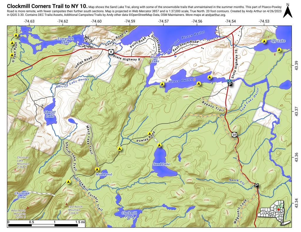
Clockmill Corners to NY 10

Electricity

The second part of the series I’ve written on Truck Camping deals with the use of electricity and inverters. The first article is about the truck I currently use for camping and my future plans. A third article is coming soon.

A Must Have:
An Inverter for Household Electricity.

No truck camping set up is complete without having access to electricity. Foruntately, we live in an era with inverters, that quietly turn the 12v electricity from your truck’s electric system and battery into household electricity. They make no noise except for a low hum of the cooling fan in the inverter, that keeps the transformer from overheating. The silence is nice compared to noisy, smelly, and bulky gasoline powered generators some people use to power their camping equipment.

Inverters are now inexpensive. I am a fan of the Vector Inverters from Pepboys. I currently use a $75 dollar, 800 watt Vector inverter, which is large enough to power a small dorm-room refigerator or a microwave, although I don’t currently use either one of them. I previously had $35 dollar, 400 watt Vector inverter from spring 2004 to fall 2008, but I replaced it as I thought it was broken, even though the real problem was the electrical line from the truck battery to the inverter had broken, shorting out and blowing the in-line fuse.
Hillcross Farm Parcel now posted as State Forest

Managing Your Battery Load:
Idle Your Engine Every 2-3 Hours for 10 Minutes.

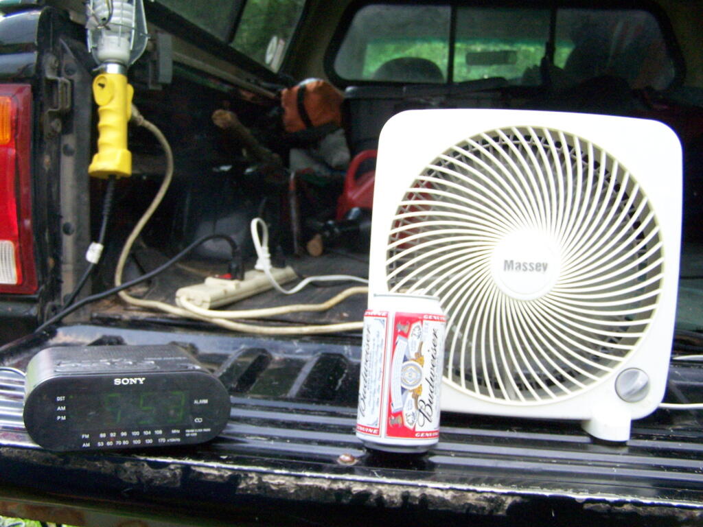
One of the reasons that I bought the 800 watt inverter over the 400 watt inverter was for the built-in Digital LED voltage meter. Few things are more critical when camping, then to ensure you have sufficent cranking battery power to start up your truck in the morning. When the battery voltage gets below 12.0 volts unladen (ie. with your electrical load unplugged), you know you should start the truck up for 10 minutes to ensure the battery charge is maintained.

I’ve discovered that idling the truck for 10 minutes every 2-3 hours of moderate load (50-200 watts draw), ensures your battery remains a strong charge for starting even in cold weather. Their should be sufficent charge at all night for camping, and powering a florescent reading lamp, alarm clock, and other small devices (20-30 watts), although one should always start the truck up 10 minutes before bed to ensure the a sufficent charge come morning. For heavier temporary loads, like running a microwave or toaster, it’s probably best to idle your engine while in use, and few a few minutes there after to ensure a strong battery charge.

The colder the weather the quicker the discharge and the more power you need for starting, however if you keep the battery meter above 11.8 volts, there should be sufficent charge. Most inverters will shut off at 11.7 volts, however, this in many cases is not sufficent power for starting a cold engine, and risks damaging a typical truck starting battery through warping the electrode plates.

We are often educated to think idling a car is wasteful and consumes large amounts of gasoline. Indeed, idling a car without purpose, or even to warm up a car (for the engine’s sake), is wasteful of gas. However, idling to charge a battery uses minimal gasoline, my Ford Ranger uses maybe a 1/4 gallon of gasoline per day camping, just to generate electricity. Modern engines have little drag at idle, and therefore consume minimal energy running the alternator and other equipment when parked.

When in doubt, idle. It’s uses minimal gas and a lot easier then having to jump start in the morning.

Tulip Beds

Have A Back Up Plan:
For a Dead Battery.

Don’t go alone without a plan in case you have a dead battery in the morning. If your traveling with buddies who also have pickup trucks, then just make sure you have jumper cables. Be aware that smaller cars will not be able to neccessarly provide the power you need to jump start your truck, especially in cold weather due to the amperage requirements.

If your traveling alone, bring another battery to jump start. I currently use a Vector “Hot-Shot” Emergency Battery Jump Starter Kit that I bought for $40. It is a stand-alone battery that you charge in advance, and in case of emergency, you hook the jumper cables built into the “hot-shot” battery to your truck’s battery, providing the extra current needed to turn over your motor.

I currently store the “hot-shot” behind the driver’s seat in the cab. It’s 12 volt trickle charger cord is currently hard wired into the line that provides power from the main truck battery to the inverter. I unplug the “hot-shot” charger cord from the inverter power line when using the inverter, to keep the inverter from robbing electricity from the “hot-shot” when camping. Otherwise, when I’m driving, the “hot-shot” is constantly getting trickle charged at the proper voltage, controlled by the truck’s built in voltage regulator in the alternator.

Previously I had a transformer cord that I used to charge the “hot-shot” at home, but it got accidently destroyed, and I figure it’s smarter to have the “hot-shot” in the truck at all times and persistantly charged.
Afternoon

Future Set Up.

When I get my next pickup truck, a full-size truck, with more room under the hood, I plan to have a second battery installed under the hood. This will be a marine or deep cycle battery, designed to provide longer battery charge for powering the inverter, providing more electricity for longer periods of time. Likewise, due to the thicker plates of a deep cycle battery, it’s unlikely to be destroyed by the use of

The deep-cycle battery will be electrically isolated from the main starting battery using a device called a battery isolator, which is a block of diodes. While the truck’s alternator will provide electricity to charge the deep cycle and starting battery, the isolator prevents the deep cycle battery from stealing electricity from the starting battery.

In addition, I’m considering getting a set of low-cost 50-watt solar panels, to provide about 10 amps of 12vdc power through a solar charger, to feed into the battery isolator when the truck is off. That said, I’m not sure if it’s cost effective compared to simply idling the truck when the battery is low.
Land Uses in Mohawk Valley

Today we look at land use in the Mohawk Valley. Here a series of maps along the Mohawk River, showing land use as a quad color image, based on NASS/Landstat data from the region. The images below use the following colors:

  • Red – Developed areas such as cities, highways, and other industrialized or otherwise developed parts.
  • Yellow – Agricultural areas, including all farm crops such as corn, hay, alfalpha, and other truck crops
  • Green – Woodland, brush, and barren lands
  • Blue – Water bodies

These images should pick up detail up to about 300 feet in any particular direction.

Overwhelmingly, the Mohawk Valley is about agriculture, although as elevation increases and farming is no longer profitable, then farm fields revert to tree cover. And while their are certainly single family homes and other rural residents under the tree cover, by no means is development the overwhelming use of the land.

Utica Area.

Most of the farming in the Utica-area, occurs south of the city, due to the sandy soils, short growing season, and elevation making farming unprofitable north of city. This map may actually distort how much land north of city is actually farmed, as many of farm fields shown on this map have been abandoned and are slowly reverting to brush and ultimately tree cover.

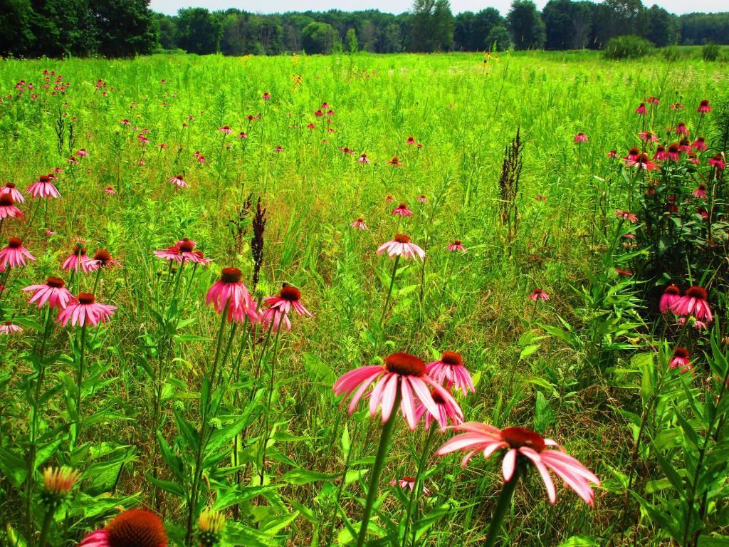
While not a lot of unique birds at Montezuma out and about as it was a hot and humid day, still nice to explore nad see the wildflowers

Canajoharie Area.

As you get around Canajoharie the amount of farming activity picks up dramatically, and except for a small section right next to the Mohawk Valley, most of this area is not developed.

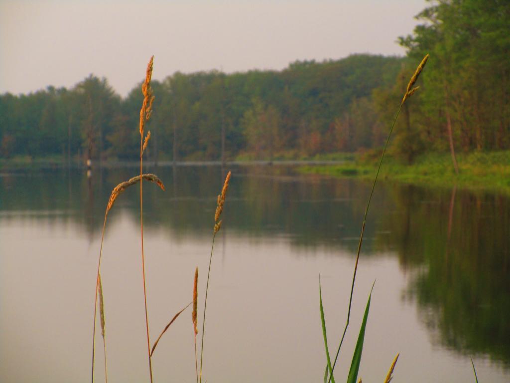
Grass along Teeter Pond

Albany-Schenectady Area.

Heading towards Albany-Schenectady, you see more development, but notice how you don’t have to get far from the city for forest cover to be dominant feature, and not agriculture. A lot of this is rural residents, with acreage, and hobby farms around here. Farming stops when you get up on the Rensselear Plateau, although the farm lands right around Brunswick are quite profitable, until you start heading towards Grafton where almost all farming stops.

Many Nights Sunsets

Alphabetical List of Maps I’ve Posted to My Blog

This an automagically generated list of all of the maps I’ve uploaded to my blog. It is in alphabetical order, based on the name. Right now, there are maps on the blog. Click on the link to view the smaller version or high resolution version map.

“;
}

echo ‘‘.$map[‘title’].’ (‘.substr($map[‘typetitle’],6).’) – PreviewHigh Resolution‘.’
‘;

$prev = substr($map[‘title’],0,1);
}

?>