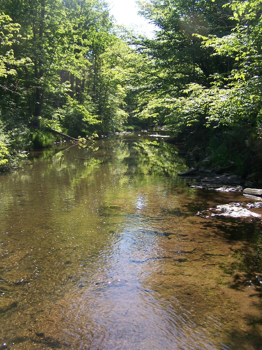
The Town of Greenville is 39 sq miles, the Bourgh of Manhattan is 33 sq miles. A few more cows in Greenville though then Manhattan.
Staten Island about the size of Altona in Clinton County at 101 square miles. A few less wind turbines in Staten Island, and far less hot air.
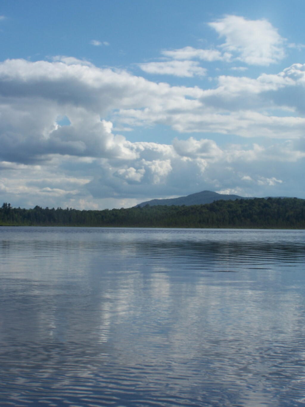
All of New York City would fit into the area of Town of Long Lake, Webb, or Brookhaven.
The Town of Westerlo is approximately the same size as the Borough of Bronx at 58 square miles. Yes, but do they have Dick Rapp as their town supervisor?
The biggest town area-wise in New York State is Brookhaven on Long Island at 532 sq miles. Town of Webb (Old Forge) has 483 sq miles.
The difference between the year-round population of the Town of Webb and Town of Brookhaven is about the population of Albany County at 295,000 persons.
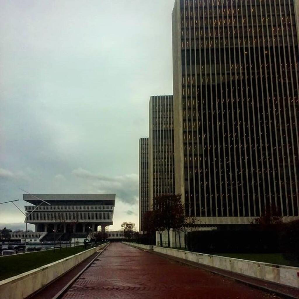
Yonkers is about the same size as Albany, NY at 21 square miles.
The typical town in Western NY is 36 square miles and is a nice square shape. Not all though as geography sometimes over rides that nice square shape.
The largest town in Western NY is Bath, NY at 101 square miles, or about the size of Staten Island.
Owego, near Binghamton is the largest Central New York town at 101 square miles. It should not be confused with Oswego which is near Syracuse.
If you ask many people today, the assumption would be almost everybody has a Bachelors Degree, if not more education then that. Yet, except in the most suburban (and wealthy) portions of state, Bachelors Degrees are relatively uncommon — often held by fewer then 1 in 10 people over 25 years of age.
It turns out there is a close connection between suburban lifestyles and having a bachelors degree. Zoomed into closer into a map of the Capital District, you will note how closely link suburbanization is to number of people with a bachelors degree.
That said, obtaining that Bachelors Degree might be worth your while — if you avoid college debts, and land a good job after college. Indeed, the wealthiest portions of state tend to have the highest percentage of those with Bachelors Degree, e.g. the suburbs.
It’s probably wrong to assume one is wealthy or well off with a Bachelors Degree, or that all rural folks are backwards hicks leaving in poverty. It’s more that the more affluent (in money terms) suburban life tends to require more schooling then more rural or urban occupations.
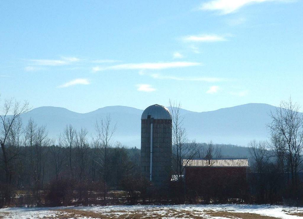
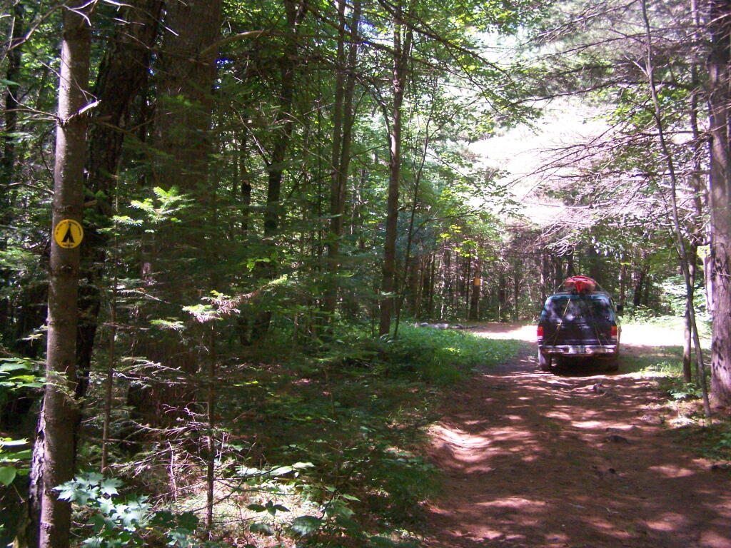
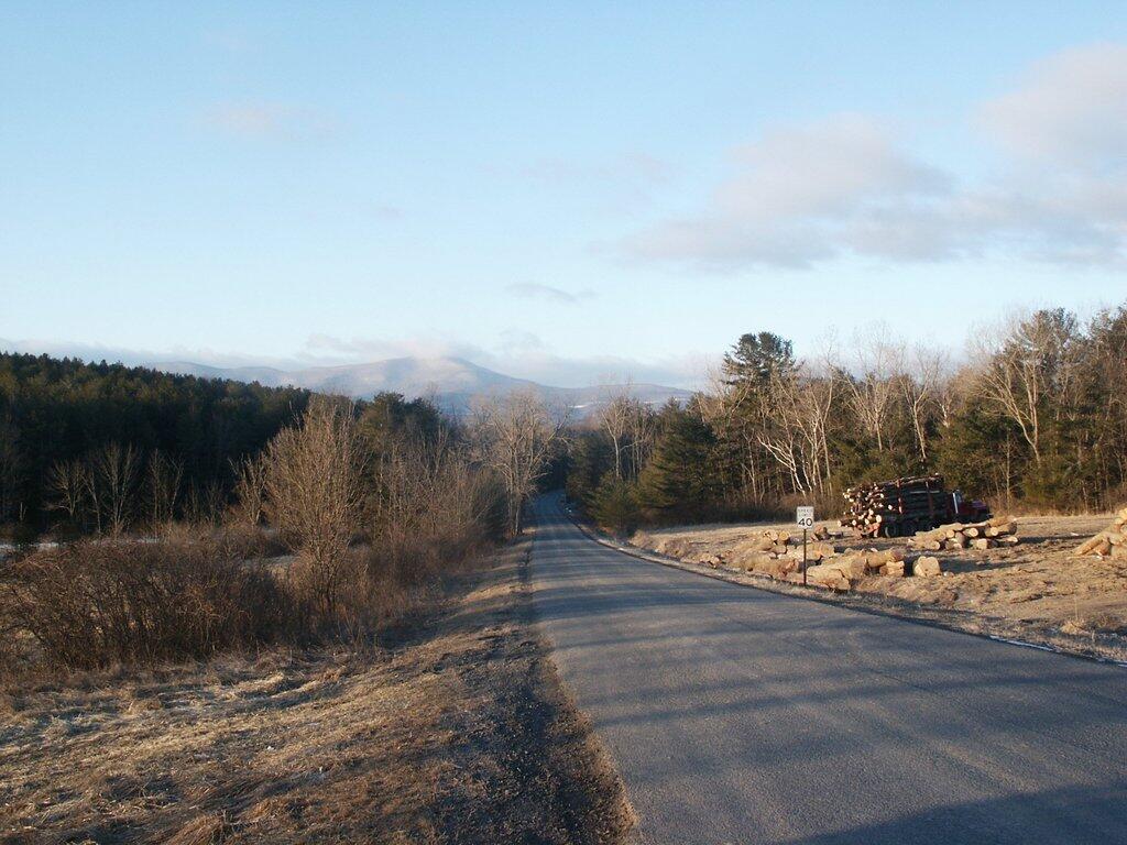
I have spent a lot of this past summer exploring the Black River Wild Forest, and decided it would be a good to share my experiences and some of the roadside and other campsites I’ve discovered along the way. As of September 2011, Lands and Forests in Albany doesn’t have these campsites in the central inventory, so all of this campsite data is based on personal exploration of these campsites.
North Lake.
Some of the best camping in the Black River Wild Forest is North Lake in Atwell. There are 22 campsites — many of them vehicle accessible along this man made lake. The southern end of the lake has some private houses and cabins on it, but it still is relatively pristine and beautiful. Most sites have outhouses and fire pits. Some but not all sites have limited wood supply. All sites designated.
Motors are allowed on this lake — as are on all wild forest lakes — so don’t be surprised to hear a jet ski or small boat on there. There are no public boat ramp on lake, so only hand launched boats can get on the lake.
Click to download or print this map.
South Lake.
South Lake is another Erie Canal Corp / Black River Reservoir near North Lake. There is a single large campsite on South Lake, with a private in-holding on the other side of the lake. There may be other campsites here, as I didn’t explore this whole lake. There is an outhouse here, grassy field for camping, fire pit.
Click to download or print this map.
Reeds Pond.
There are a couple of campsites along Reeds Pond, North Lake Road, and Farr Road as you head up to North Lake from Forestport. This pristine, but relatively small pond is fairly popular for camping.
Click to download or print this map.
Wolf Lake Road.
There are 5 fairly remote roadside campsites along Wolf Lake Road, as you head down to Woodhull Lake. Note also how there are lean-tos at Bear Lake and Woodhull Lake. The roadside campsites have no facilities, and some can be muddy as they are not hardened with gravel.
Wolf Lake Road has recently been rebuilt and resurfaced with gravel, however spring rains did lead to one part that may lead low-clearance cars to bottom out. Camp on this road, and your unlikely to see more then 2-3 people drive by on any particular day.
Be aware that the last 1/8th of a mile to Woodhull Lake is gated, so you’ll have to carry your boat the rest of the way down to the lake.
Click to download or print this map.
Remsen Falls.
Remsen Falls, which probably should be called “Remsen Rapids”, is a popular swimming place, and offers two well used campsites. There is an outhouse and picnic table down here. The trail follows a gated dirt road.
There are several campsites a on side roads, little ways off of NY 30, as you head North from Northville towards Wells NY. These campsites are nice if you starting off into the Adirondacks, and are looking for a convenient place to camp for the night, and want campsites quieter then those on NY 8 / East Sacanadaga River.
These sites are all designated with official “Camp Here” discs.
Road
Number of Sites
Hope Falls Road
3 Vehicle
3 Tent Sites
Pumpkin Hollow Road
2 Vehicle (Between Willis Lake and Inholding)
1 Vehicle (Beyond Inholding)
Hope Falls Road.
From Northville on Hope Falls Road, you drive north and north. The paved road goes on for several miles, until you finally reach the “Seasonal Use Only” sign, and hte pavement ends it becomes a one lane road.
Click the map above to print it.
None of these campsites are particularly fancy, although there is a single outhouse for the first grouping of campsites on the southern port of the road.
All of the campsites run along Stoney Creek …
Pumpkin Hollow.
The campsites are a ways back on Pumpkin Hollow Road, a dirt road, beyond Willis Lake and the camps along it. Pumpkin hollow is a short ways south of the Sacanadaga River DEC Campground, it starts out as a paved road by a white house, then eventually a mile or two back becomes unpaved and one lane.
You can print the above map by clicking on it and printing it.
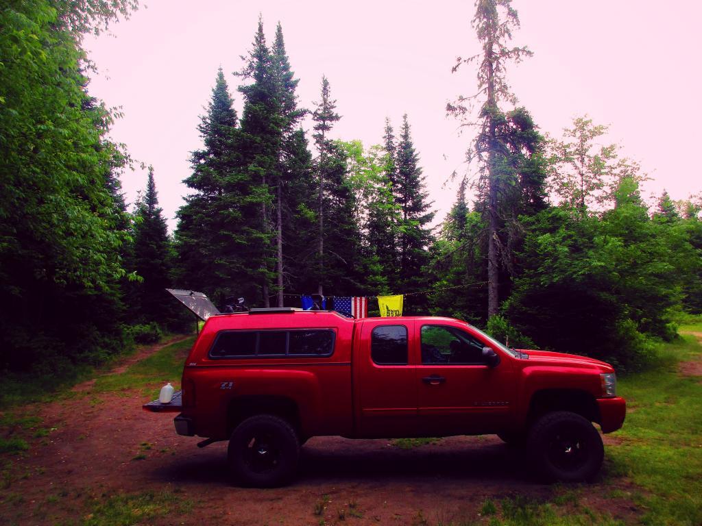
Here’s sample designated campsite on Pumpkin Hollow Road.
Where are people clustered around closely in the hilltowns? The obvious answer would be the hamlets of Dormansville Westerlo, South Westerlo, East Berne, Berne, West Berne, Rensselearville, Medusa. Those are historical hamlets that where the centers of these rural towns prior to the automobile and quick roads providing access to the City of Albany.
Today it seems like those hamlets continue to be the most dense region of county, in part because existing housing was grandfathered in prior to large lot zoning ordiences becoming the norm decades later. Yet, an even more important factor in connectivity proves to be quality highway access to to City of Albany, for the many families who leave their homestead or farm to work in the city.
I made this map from 2010 Census Block-level data, divided by area of land within each census block. This is as detailed of census data that is avalialbe for this rural area, despite many of census blocks being quite large out in this rural area.
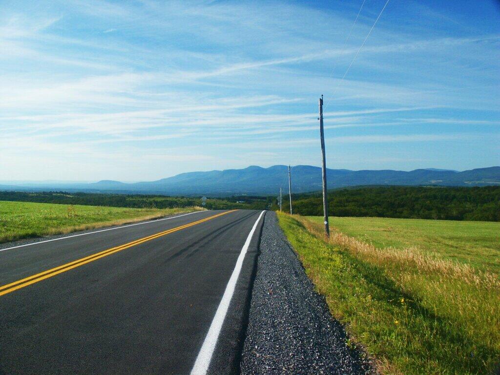
Westerlo is the most densely populated town in the three south-western hilltowns. It is most dense due to access to NY State Route 32, which provides relatively quick access year round to the city, with commutes around 30-40 minutes each way. The further you get from NY 32, the quicker population density drops down.
NY 443 and NY 85, the two other state roads, also have significant increases in population density along them. Both of those roads have more hamlets to drive through to and twistier roads get to the City of Albany, therefore lower population densities. Get out to Rensselearville, and except for Renselearville, serviced by NY 85, population density proves to be quite low, except for the small historical hamlet of Medusa and Potters Hollow, whose densities are high, but only in a small region for one census block. Rennselearville is on the artery of NY 85.
People generally live closer together near major highways. Farms, forest land, and public lands tend to be further away from major roads. Farmers and other forest owners who work their own land typically don’t need quick access to the city. They instead need is cheap land, which tends to be away from highways. Other distant land, was long ago abandoned to the state as state forest, in part because of it’s remoteness.
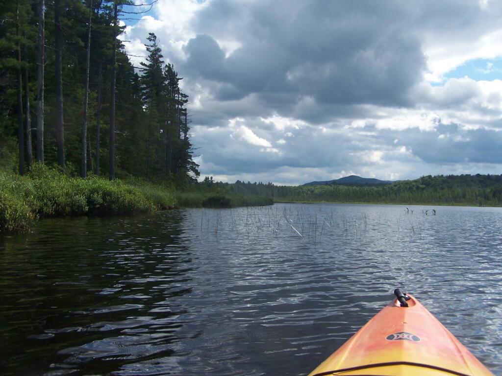
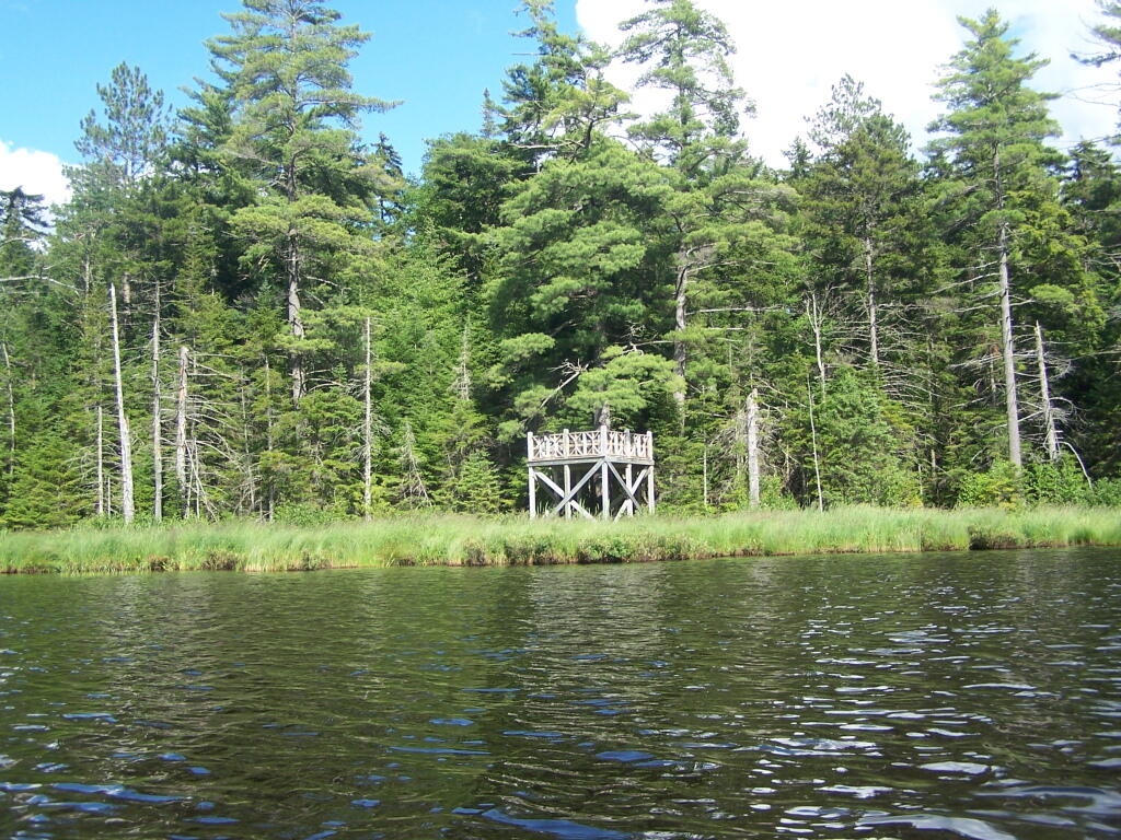
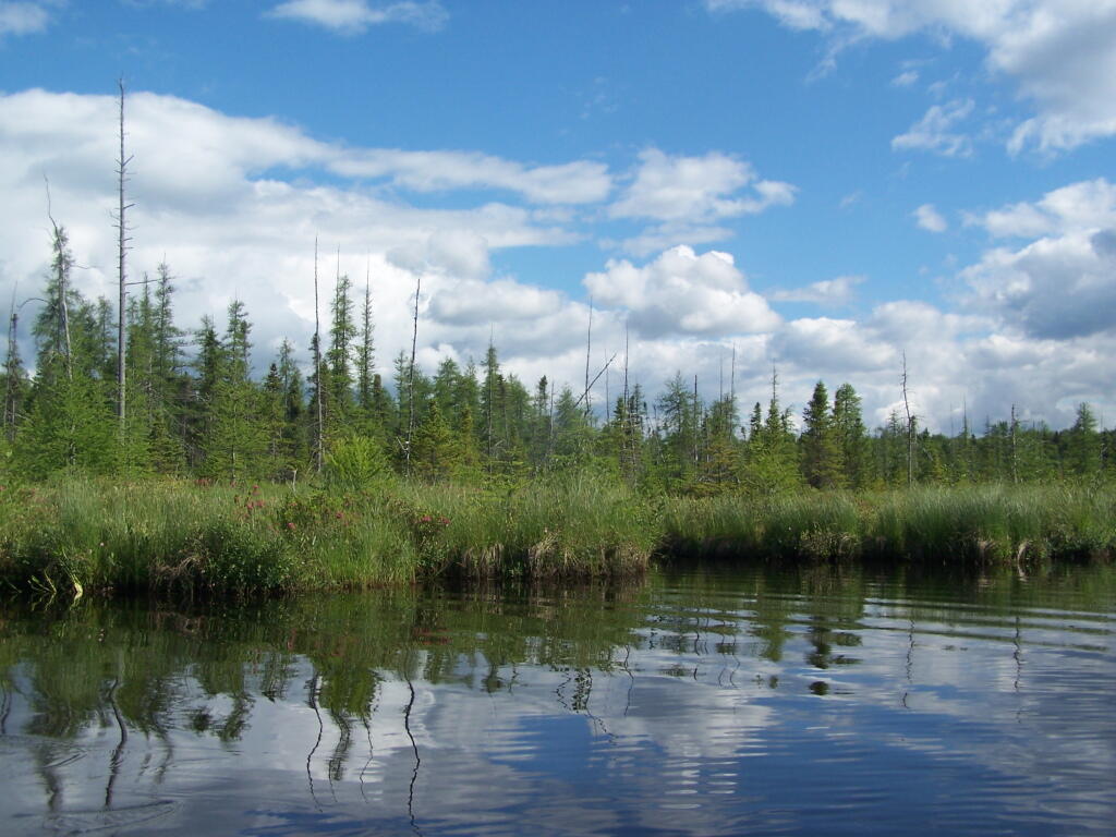
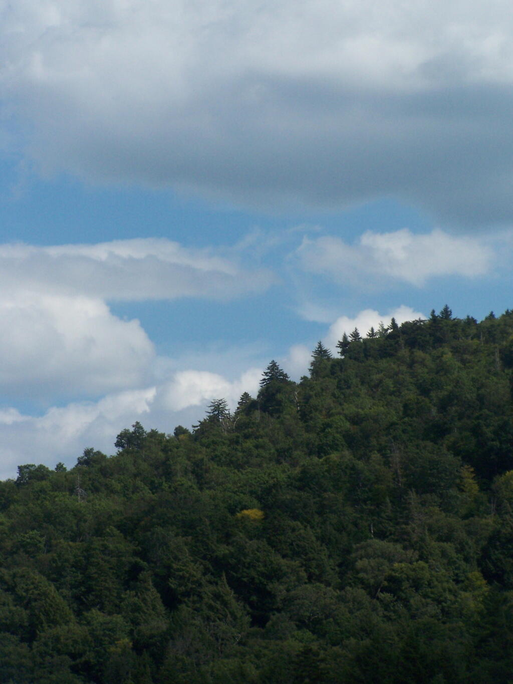
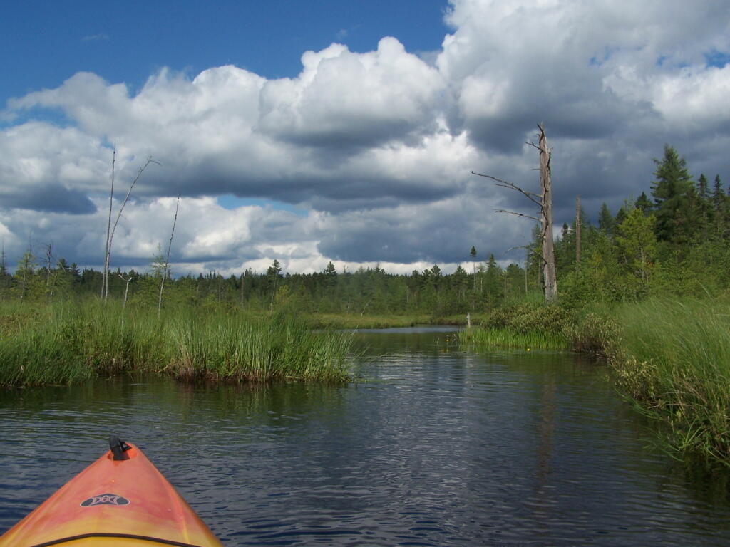
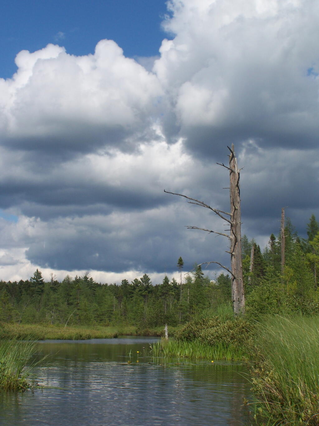
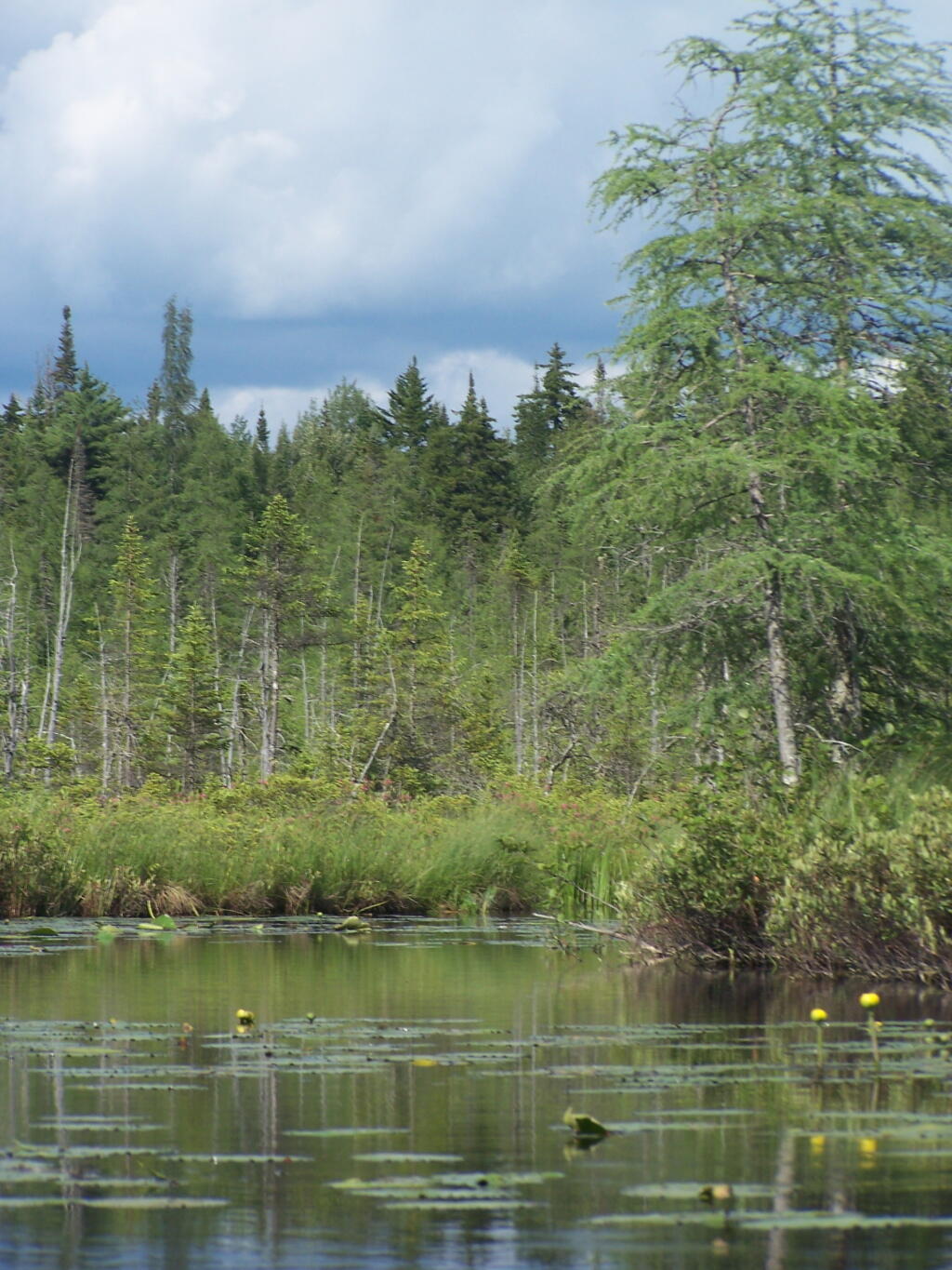
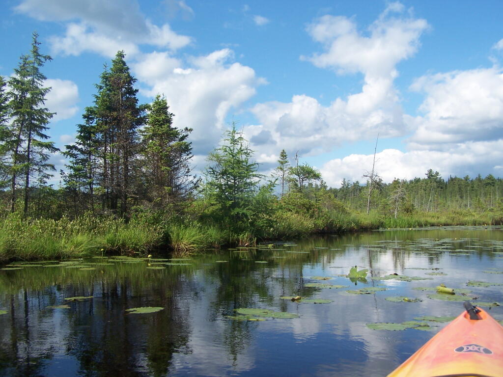
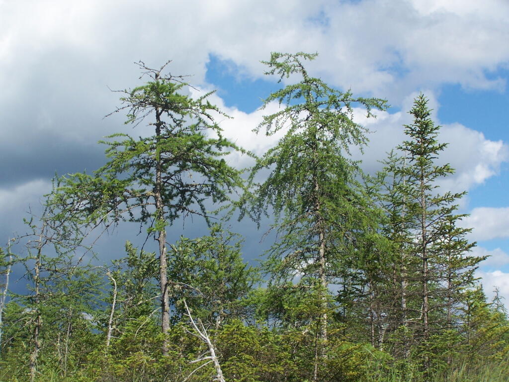
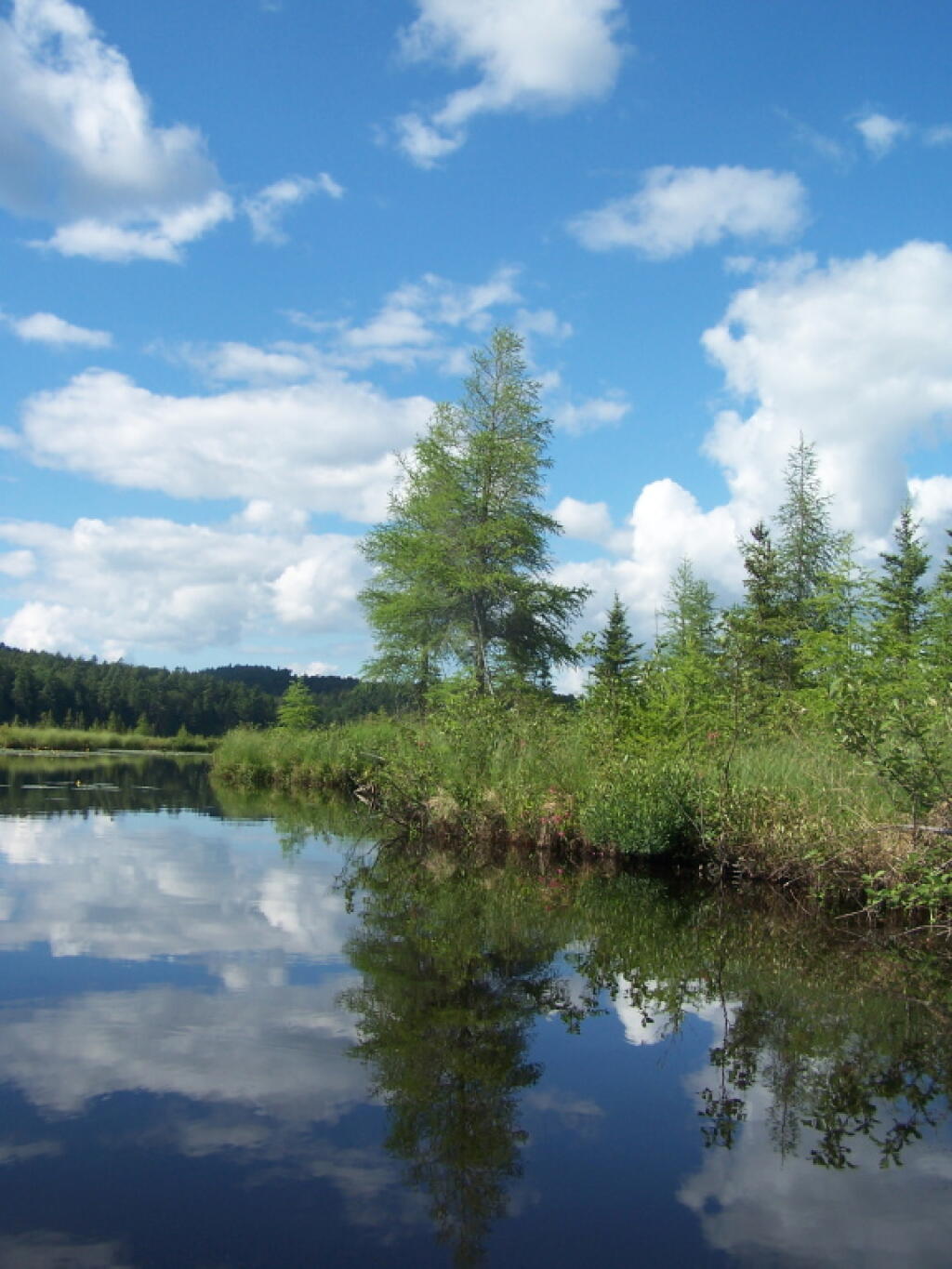
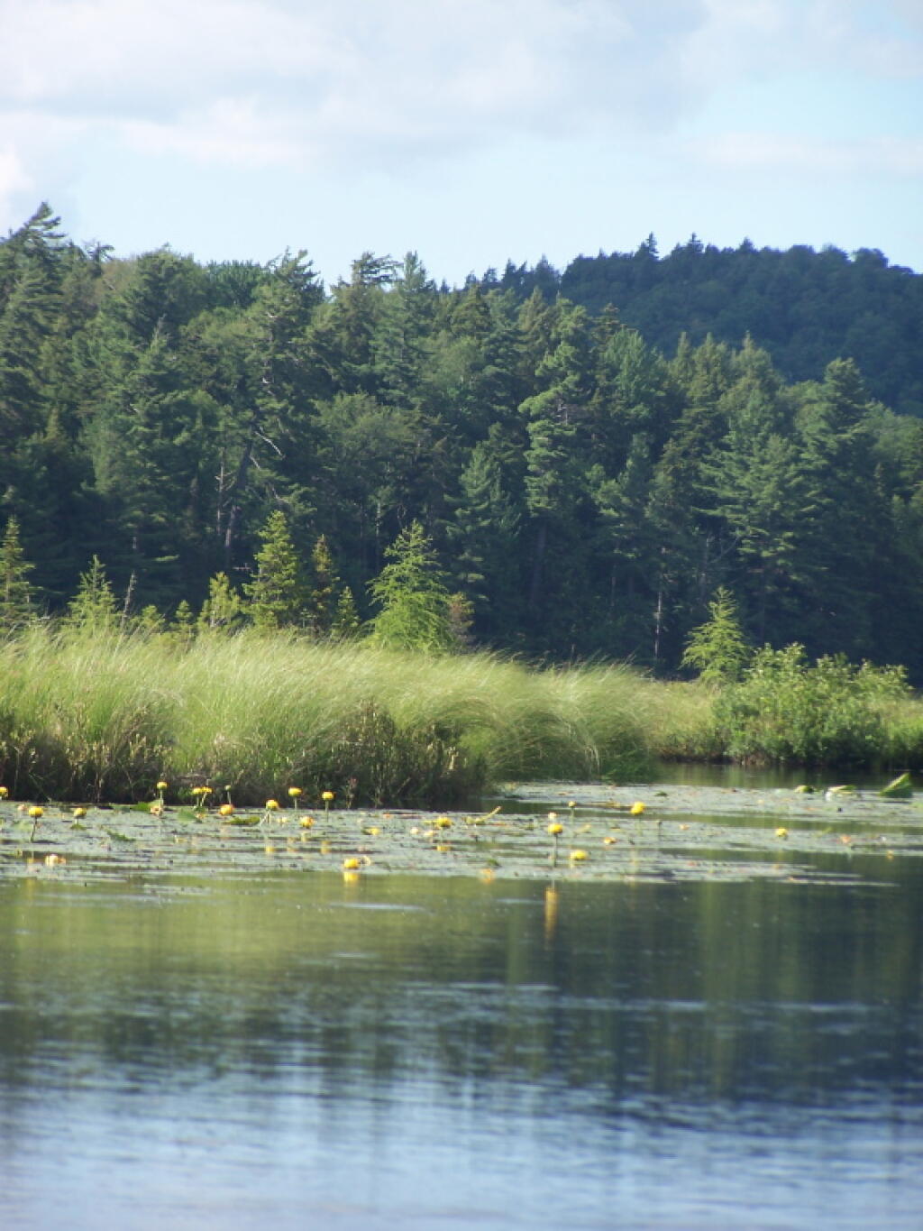
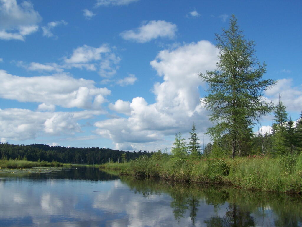
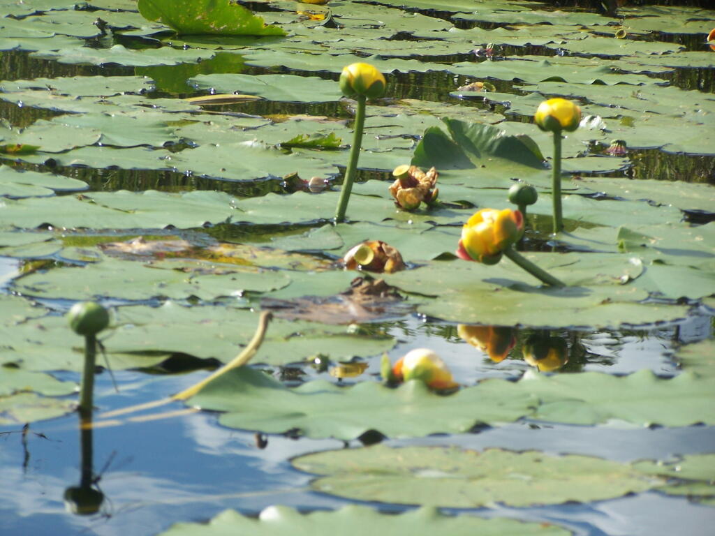
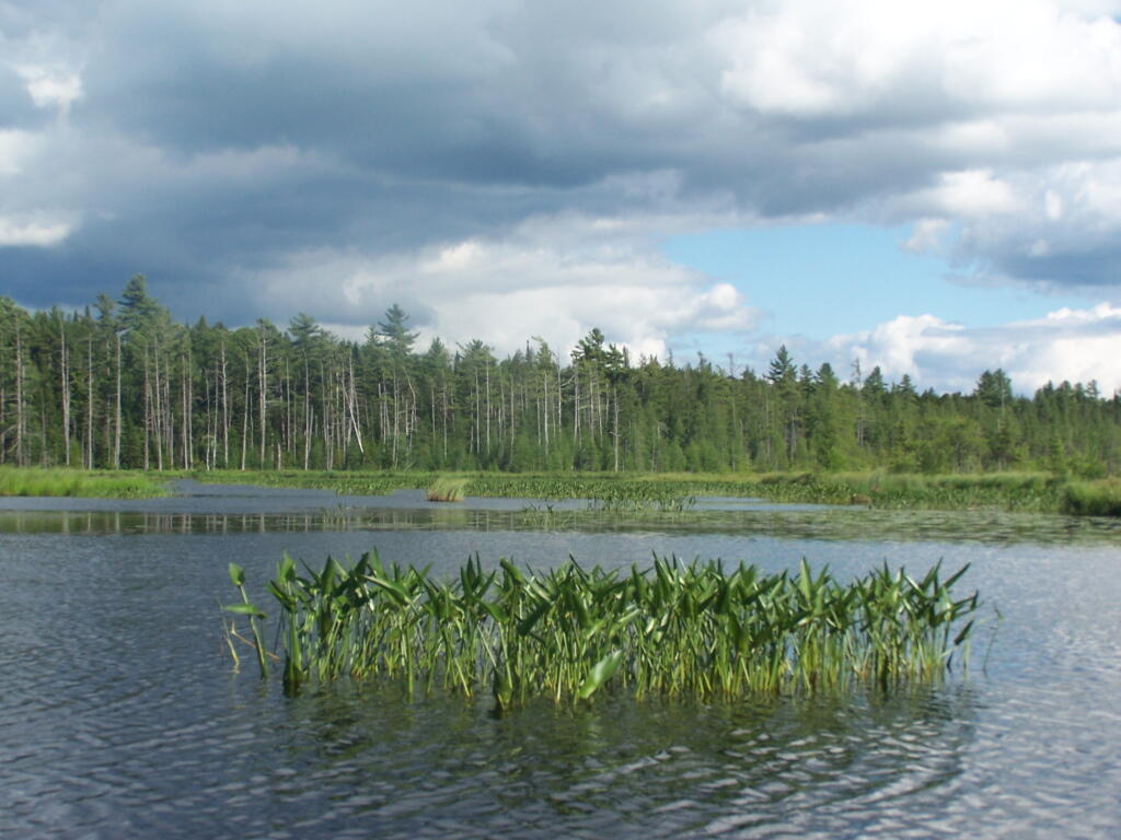
Barnum Pond, right behind the Adirondack Vistors Intreprative Center, offers some great views, and can be accessed for free from NY 30, one mile north of VIC and one mile south of Mountain Pond Camping Area. Click on the map below, to display a full-size version, perfect for printing and slapping in a plastic bag, to strap on your kayak.
Here are some pictures I took while was paddling around this lake, proceeding from NY 30, along the Southern shore until I got to the Barnum Pond outlet, which you can continue on for about a mile until a beaver dam. You can portage around the beaver dam, if you choose, however a 1/2 mile below that is a series of man-made dams in Paul Smiths you must go around, to get down to Lower St Regis Lake.
If you visit here, consider camping at Mountain Pond.
Rural America and Urban America are both fundamentally different and also directly inter-related. One policy may make sense for one community but directly conflict with the values or virtues of another community. In some cases, one policy will benefit one community at the detriment of another community, but in more times then not the difference is ideological.
We live in an era with low-cost high-speed transportation that makes it easy for most people to intermix between rural and urban areas. Different cultures may not mix or meet due to environmental differences, but there is a constant possibility that urban and rural people, goods, and services will meet. This level of commerce can cause problems. Technology makes it possible to create levels of environmental harm that can move between both environments in the form pollution or nuisance.
Yet, the biggest threat to both of these areas is intolerance and ideology. People have viewpoints based on the environment that they are socialized in, and they tend to be intolerant of those who are different then themselves. People too often know how others should live and conduct their lives, without trying to put themselves in somebody\’s else shoes.


