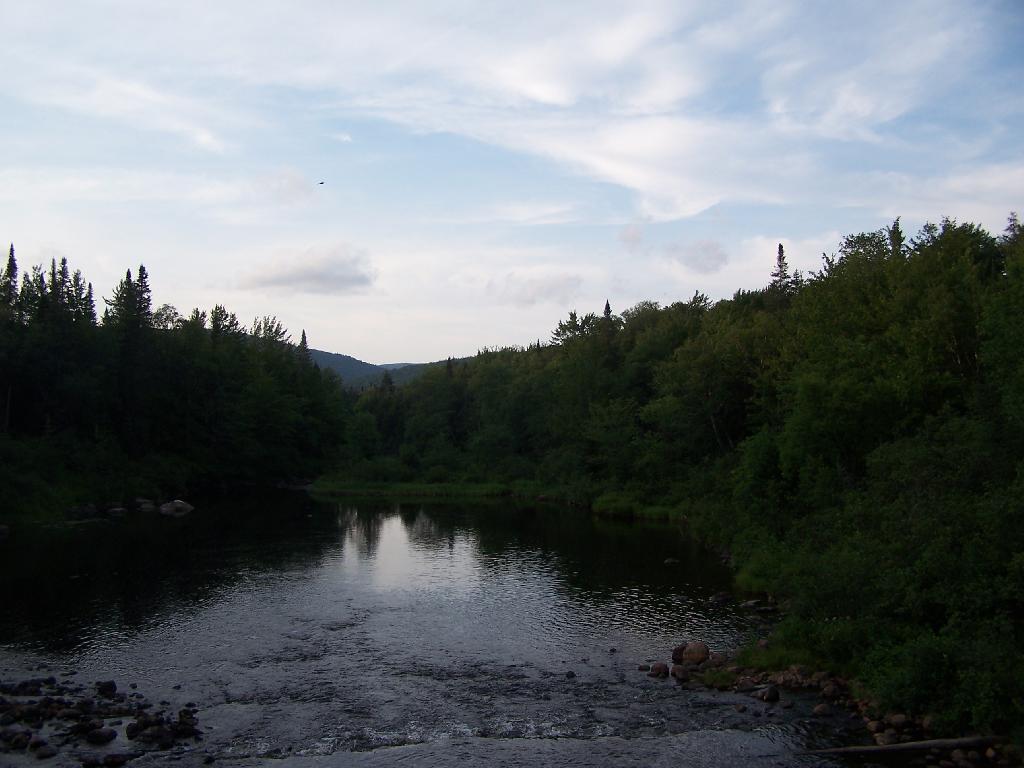
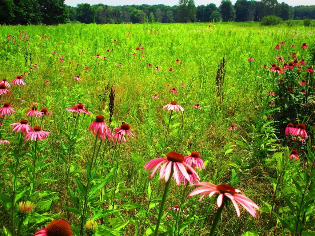
The policy of the state shall be to conserve and protect its natural resources and scenic beauty and encourage the development and improvement of its agricultural lands for the production of food and other agricultural products.
The legislature, in implementing this policy, shall include adequate provision for the abatement of air and water pollution and of excessive and unnecessary noise, the protection of agricultural lands, wetlands and shorelines, and the development and regulation of water resources.
While Article XIV Section 5 provides:
A violation of any of the provisions of this article may be restrained at the suit of the people or, with the consent of the supreme court in appellate division, on notice to the attorney-general at the suit of any citizen.
This would state affirmatively that the any citizen may sue the state for failing to “conserve and protect its natural resources and scenic beauty” and “encourage the development and improvement of its agricultural lands for the production of food and other agricultural products.”.
Today we look at land use in the Mohawk Valley. Here a series of maps along the Mohawk River, showing land use as a quad color image, based on NASS/Landstat data from the region. The images below use the following colors:
Red – Developed areas such as cities, highways, and other industrialized or otherwise developed parts.
Yellow – Agricultural areas, including all farm crops such as corn, hay, alfalpha, and other truck crops
Green – Woodland, brush, and barren lands
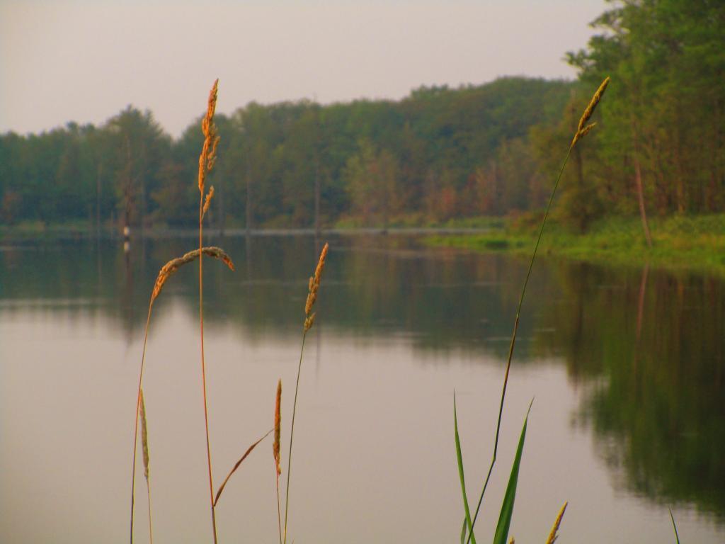
Blue – Water bodies
These images should pick up detail up to about 300 feet in any particular direction.
Overwhelmingly, the Mohawk Valley is about agriculture, although as elevation increases and farming is no longer profitable, then farm fields revert to tree cover. And while their are certainly single family homes and other rural residents under the tree cover, by no means is development the overwhelming use of the land.
Utica Area.
Most of the farming in the Utica-area, occurs south of the city, due to the sandy soils, short growing season, and elevation making farming unprofitable north of city. This map may actually distort how much land north of city is actually farmed, as many of farm fields shown on this map have been abandoned and are slowly reverting to brush and ultimately tree cover.
Canajoharie Area.
As you get around Canajoharie the amount of farming activity picks up dramatically, and except for a small section right next to the Mohawk Valley, most of this area is not developed.
Albany-Schenectady Area.
Heading towards Albany-Schenectady, you see more development, but notice how you don’t have to get far from the city for forest cover to be dominant feature, and not agriculture. A lot of this is rural residents, with acreage, and hobby farms around here. Farming stops when you get up on the Rensselear Plateau, although the farm lands right around Brunswick are quite profitable, until you start heading towards Grafton where almost all farming stops.
How much of the Mohawk Valley is developed, how much is farmed, and how much is forested? These images give you a clear overview, with all agricultural cropland and pasture colored yellow, all forest lands colored green, waterways colored blue, and developed areas are red. This is based on LANDSTAT and USDA NASS Croplayer data.
Overwhelmingly, the Mohawk Valley is about agriculture, although as elevation increases and farming is no longer profitable, then farm fields revert to tree cover. And while their are certainly single family homes and other rural residents under the tree cover, by no means is development the overwhelming use of the land.
Most of the farming in the Utica-area, occurs south of the city, due to the sandy soils, short growing season, and elevation making farming unprofitable north of city. This map may actually distort how much land north of city is actually farmed, as many of farm fields shown on this map have been abandoned and are slowly reverting to brush and ultimately tree cover.
As you get around Canajoharie the amount of farming activity picks up dramatically, and except for a small section right next to the Mohawk Valley, most of this area is not developed.
Heading towards Albany-Schenectady, you see more development, but notice how you don’t have to get far from the city for forest cover to be dominant feature, and not agriculture. A lot of this is rural residents, with acreage, and hobby farms around here. Farming stops when you get up on the Rensselear Plateau, although the farm lands right around Brunswick are quite profitable, until you start heading towards Grafton where almost all farming stops.