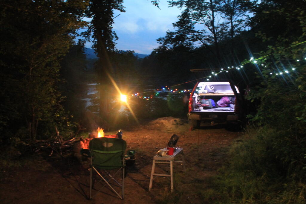
My dual battery setup works decently on my Silverado pickup truck for producing camp power for use under the truck cap. For the first night at camp, it provides more then enough power at night, including lots of lights, alarm clock, and moderate use of a portable fan, and 90 watt laptop charger.
After the first night, the deep cycle battery starts to wear down. The inverter will show lower and lower voltage, until it starts beeping every 15 seconds, and eventually shuts off at around 11 volts, to protect the battery. Yet, it can be continued to be run, all you have to do is turn on the engine, and let the truck run at idle speed for like 10 minutes, every 1-4 hours, depending on how heavy your electrical load is. I used an average of 1/3 gallon of fuel for every night after the first night parked, without driving.
As the battery is isolated from the starting battery, running the deep cycle down to the point where the inverter shuts it off is not a big deal. Your starting battery is still fully charged, and the deep cycle will after all get recharged as soon as truck restarts, and the inverter prevents you from going below 10.9-11 volts, a point where damage can occur, even with a good deep cycle.
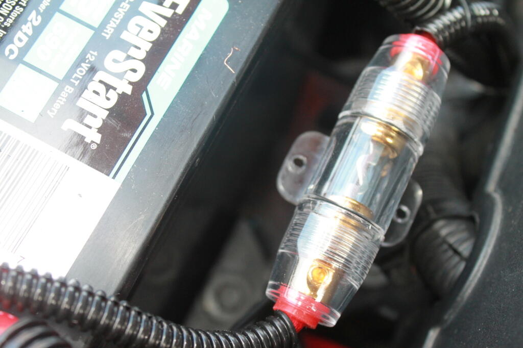
For most moderate lighting demands — let’s say 75-100 watts — enough to run a couple 26 watt florecents, your pretty close to the 4 hours. But when you start adding a laptop charger or fan, and after the third day without the truck moving, you start to drop things down closer to once an hour. Reducing the load when charging, also helps the truck charge faster, as does swapping out the 60 amp fuse between the batteries with a 100 amp fuse, to send any excess amperage to the deep cycle as fast as possible.
The system originally came with a 80 amp fuse, but I cracked that fuse, when I was re-tightening the connections on fuse holders. Apparently, the fuse holder between the deep cycle battery and the starting battery was loose, and on the bumps of dirt roads would become disconnected. While ultimately, I fixed it by retightening the connections, I ended up breaking the 80 amp fuse, and could only get a 60 amp fuse locally. I plan to buy a 100 amp fuse over the internet at some point.
I rarely stay in the same campsite more then one night, at least without driving somewheres in the truck. Even relatively short periods of charging the battery at above idle speed, e.g. driving rapidly increases the rate of charge. It does however use much more fuel to drive the truck then staying idled.
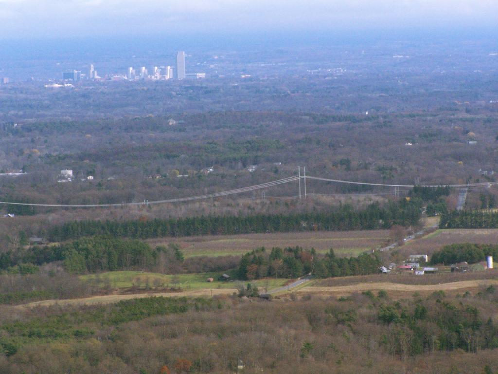
I have spent a lot of this past summer exploring the Black River Wild Forest, and decided it would be a good to share my experiences and some of the roadside and other campsites I’ve discovered along the way. As of September 2011, Lands and Forests in Albany doesn’t have these campsites in the central inventory, so all of this campsite data is based on personal exploration of these campsites.
North Lake.
Some of the best camping in the Black River Wild Forest is North Lake in Atwell. There are 22 campsites — many of them vehicle accessible along this man made lake. The southern end of the lake has some private houses and cabins on it, but it still is relatively pristine and beautiful. Most sites have outhouses and fire pits. Some but not all sites have limited wood supply. All sites designated.
Motors are allowed on this lake — as are on all wild forest lakes — so don’t be surprised to hear a jet ski or small boat on there. There are no public boat ramp on lake, so only hand launched boats can get on the lake.
Click to download or print this map.
South Lake.
South Lake is another Erie Canal Corp / Black River Reservoir near North Lake. There is a single large campsite on South Lake, with a private in-holding on the other side of the lake. There may be other campsites here, as I didn’t explore this whole lake. There is an outhouse here, grassy field for camping, fire pit.
Click to download or print this map.
Reeds Pond.
There are a couple of campsites along Reeds Pond, North Lake Road, and Farr Road as you head up to North Lake from Forestport. This pristine, but relatively small pond is fairly popular for camping.
Click to download or print this map.
Wolf Lake Road.
There are 5 fairly remote roadside campsites along Wolf Lake Road, as you head down to Woodhull Lake. Note also how there are lean-tos at Bear Lake and Woodhull Lake. The roadside campsites have no facilities, and some can be muddy as they are not hardened with gravel.
Wolf Lake Road has recently been rebuilt and resurfaced with gravel, however spring rains did lead to one part that may lead low-clearance cars to bottom out. Camp on this road, and your unlikely to see more then 2-3 people drive by on any particular day.
Be aware that the last 1/8th of a mile to Woodhull Lake is gated, so you’ll have to carry your boat the rest of the way down to the lake.
Click to download or print this map.
Remsen Falls.
Remsen Falls, which probably should be called “Remsen Rapids”, is a popular swimming place, and offers two well used campsites. There is an outhouse and picnic table down here. The trail follows a gated dirt road.
Horseshoe Lake is located on South Eastern Saint Lawrence County, on a dead end state highway, NY 421, a spur from NY 30 South of Tupper Lake. It offers 6 campsites scattered along the lake, with 6 others on nearby roads. It is also near the Bog River Flow Canoe/Kayak Area. Don’t expect to get a campsite on the lake in the afternoon, but the sites along the truck trail are rarely used.
Six Miles to Horseshoe Lake. This is the turn off for NY 421, one of the strangest state highways in the state. It is a dead ended highway, that leads to gravel roads around Horseshoe Lake and Bog River Flow. It is very twisty and narrow, and portions have not been resurfaced in over 50 years.
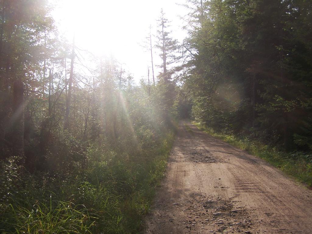
After The Pavement Runs Out. About a two miles from the paved end of NY 421, I camped. This is first thing in the morning, with the sun shining down from the wetlands near where I camped.
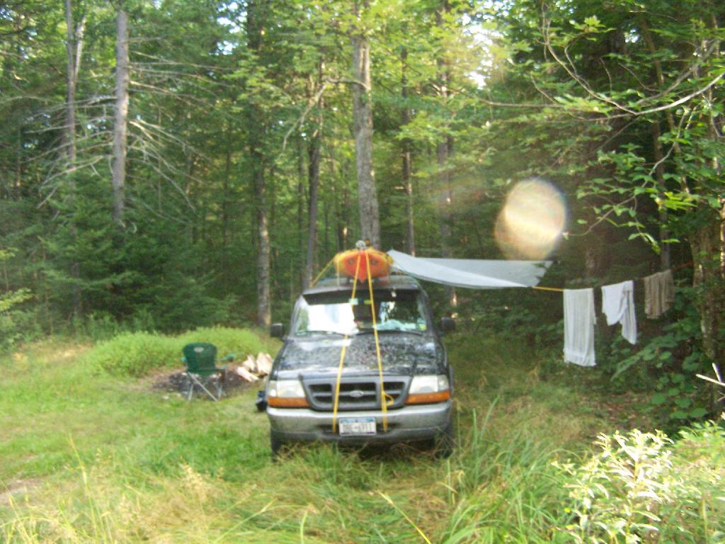
Campsite No 9. This is Campsite No 9 at Horseshoe Lake, on an Unnamed Adirondack Park Road, about two miles from the end of NY 421/Paved. I could not get site on the lake, arriving at 5 PM at night, but it’s still a nice campsite. This area of Saint Lawrence County is so remote, only 2 big pickup trucks, and logging truck passed by in the 12 or so hours I was there.
Not Fancy Campsite. By no means was Campsite No 9 on the Unnamed Road, particularly fancy. But it provided a place to camp, and was a three minute drive down to the lake. I could have gotten a spot on Horseshoe Lake most likely had I arrived in the morning, as it seemed like campsites tended to clear out in the morning.
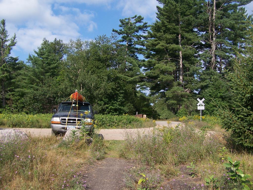
Road Crosses Railroad Tracks. This is where the weird hair-pin turn appears on maps at the end of NY 421. I’m not sure why it follows this route, as the terrain is flat, but maybe at one time there was an inholding or private home located in here.
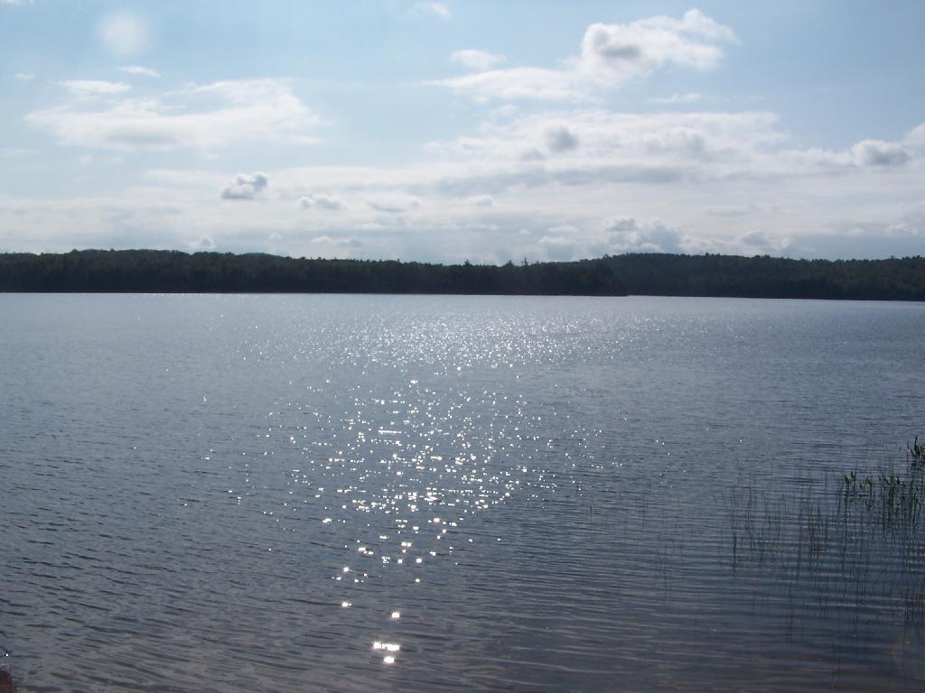
Horseshoe Lake in Morning. Heading swimming in a couple of minutes. The water was real nice.
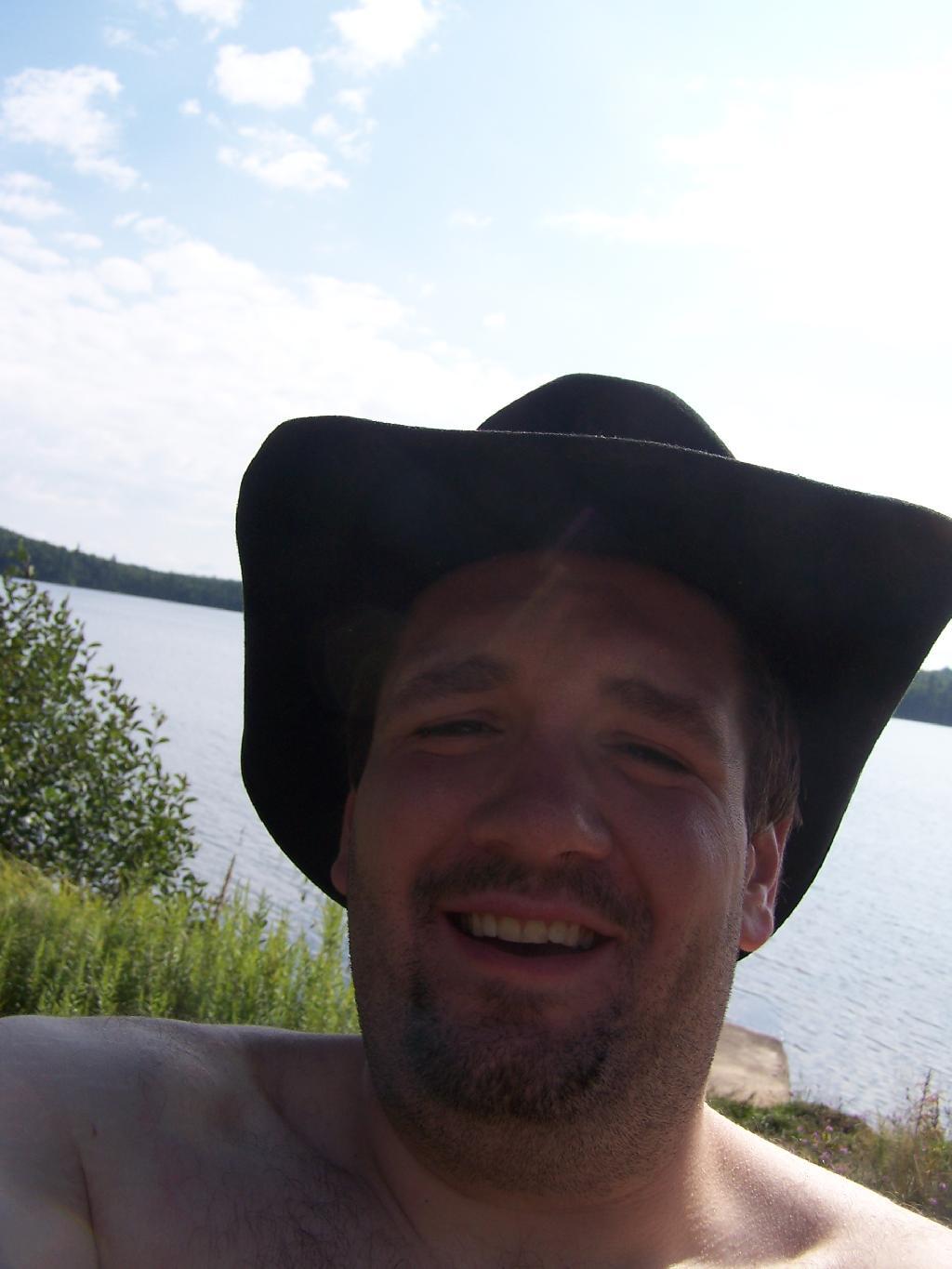
Cowboy Hat, Swimming Trunks, Work Boots. Not that you could get the total picture from this image. But the cowboy hat and work boots came off before the dip. A real country boy thing.
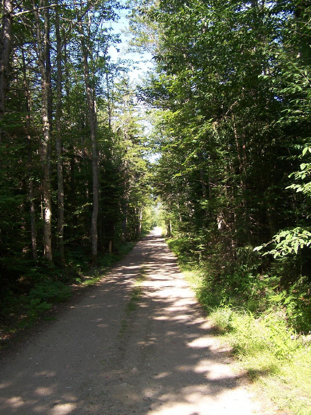
Unnamed Dirt Road. This is the road that goes from Horseshoe Lake to Mount Arab / Piercefield.
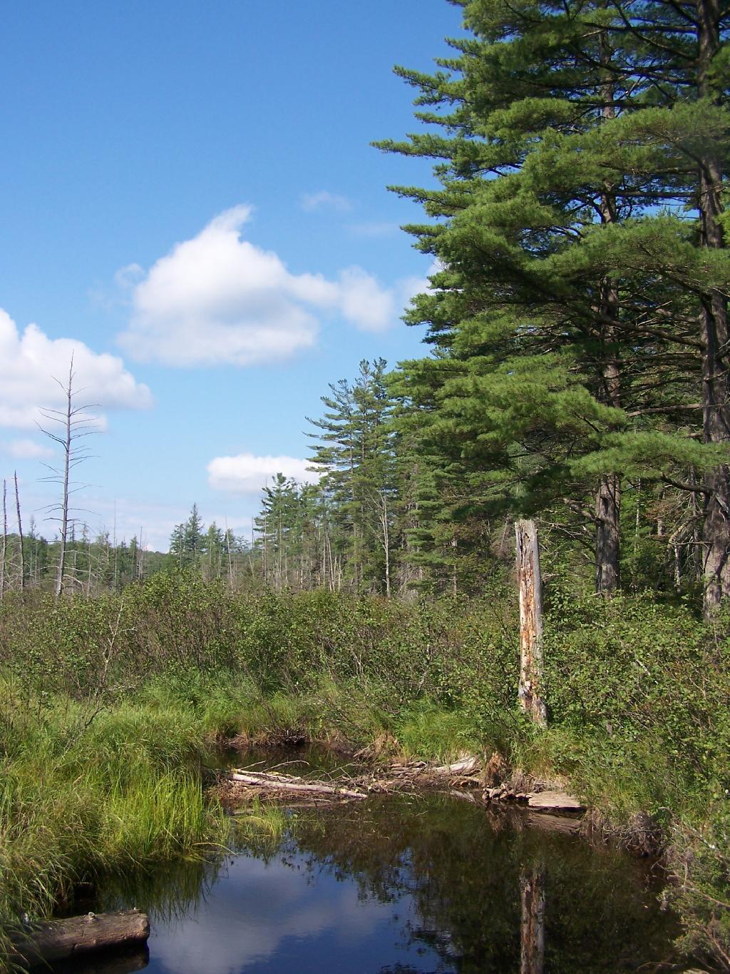
Wetlands Along Horseshoe Lake. This is about a mile after the pavement runs out on NY 421, just after the Bog River Flow / Lower Lows Dam Road turn-off
Here is a map of where I camped, on the truck trail, west of Horseshoe Lake.

")
")