The Bog River Flow, also known as Lows Lake is a spectacular wilderness/primitive area located in South-East Saint Lawerence County. It consists of two dams, Lows Upper and Lows Lower, that create to massive man-made lakes. It is home to over 100 paddle in campsites along with some amazing views and wildlife.
Here is a downloadable map.
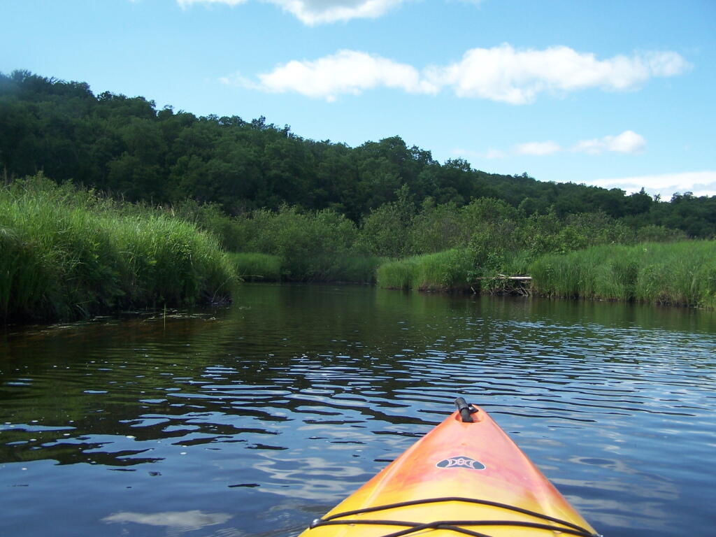
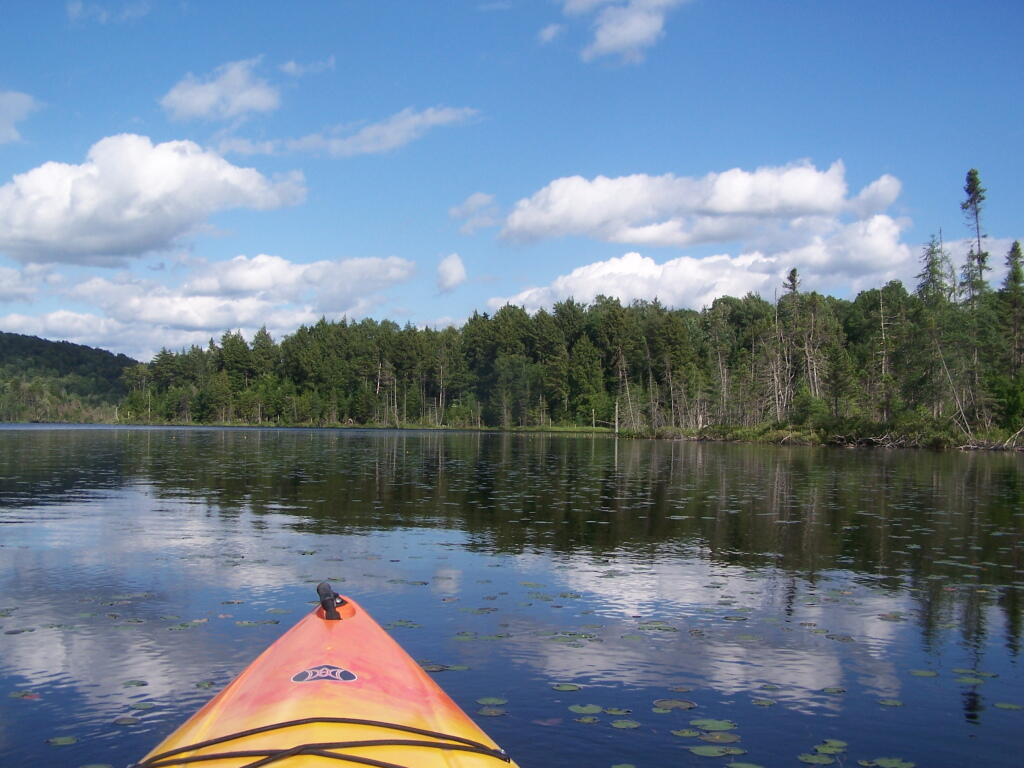
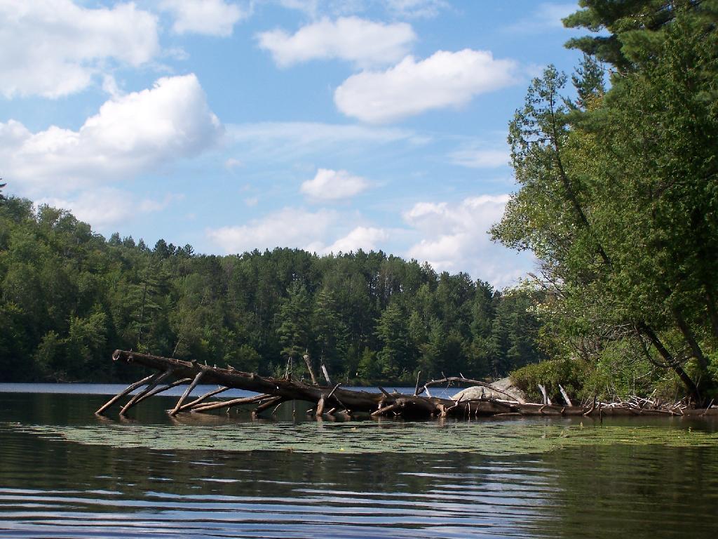
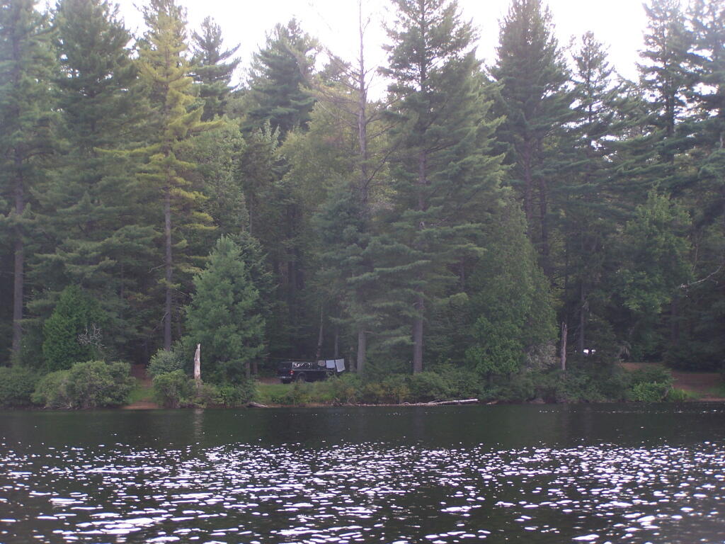
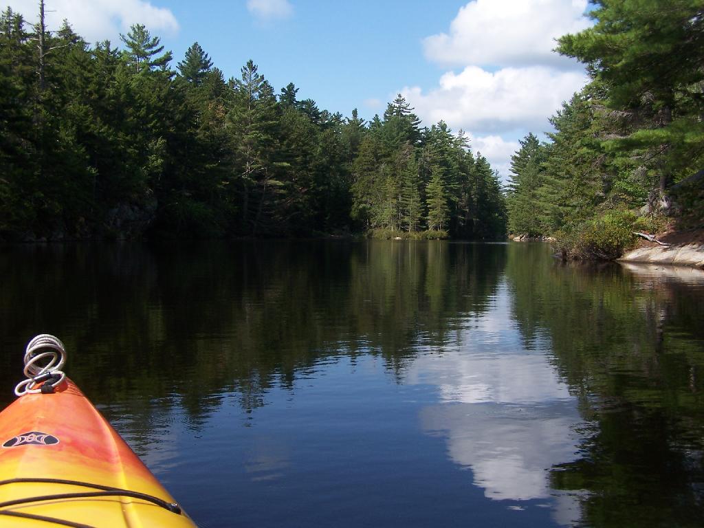
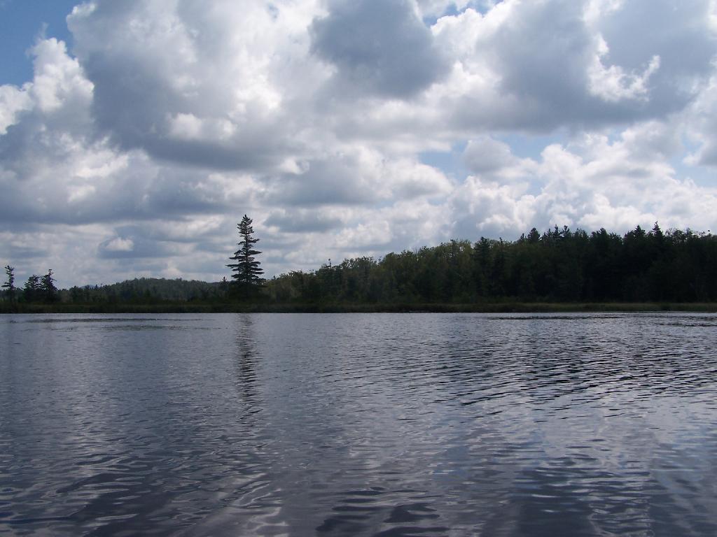
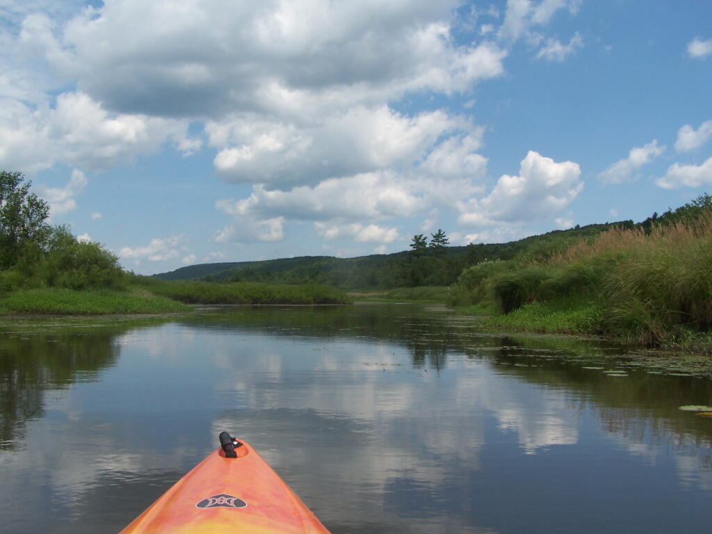
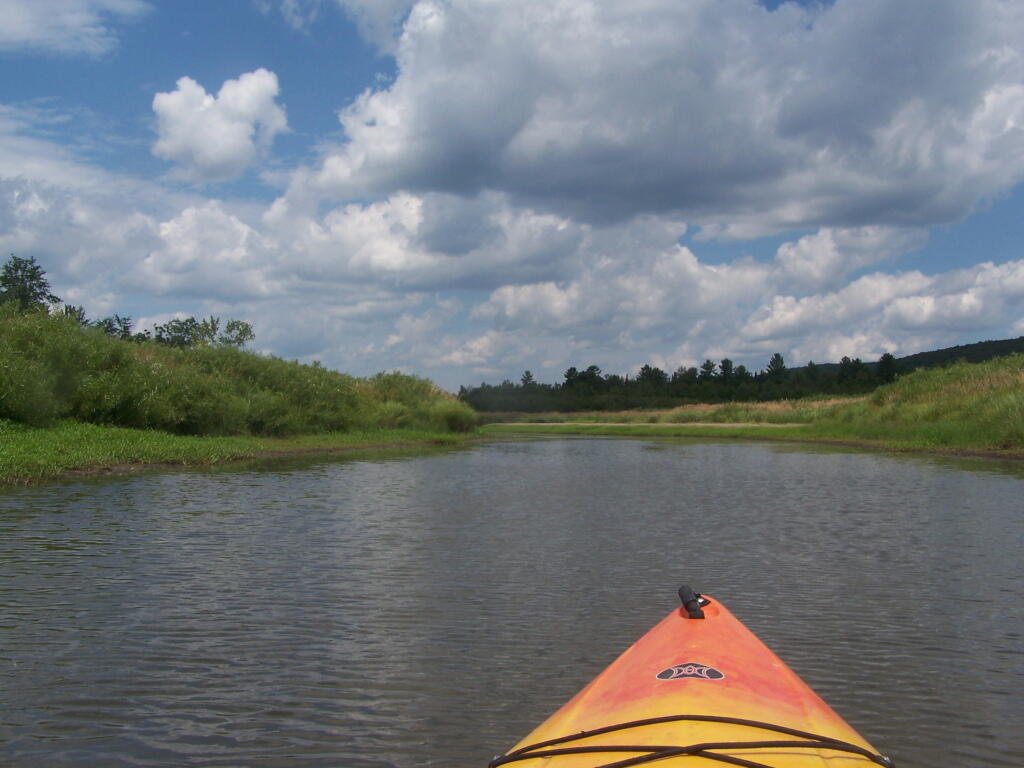
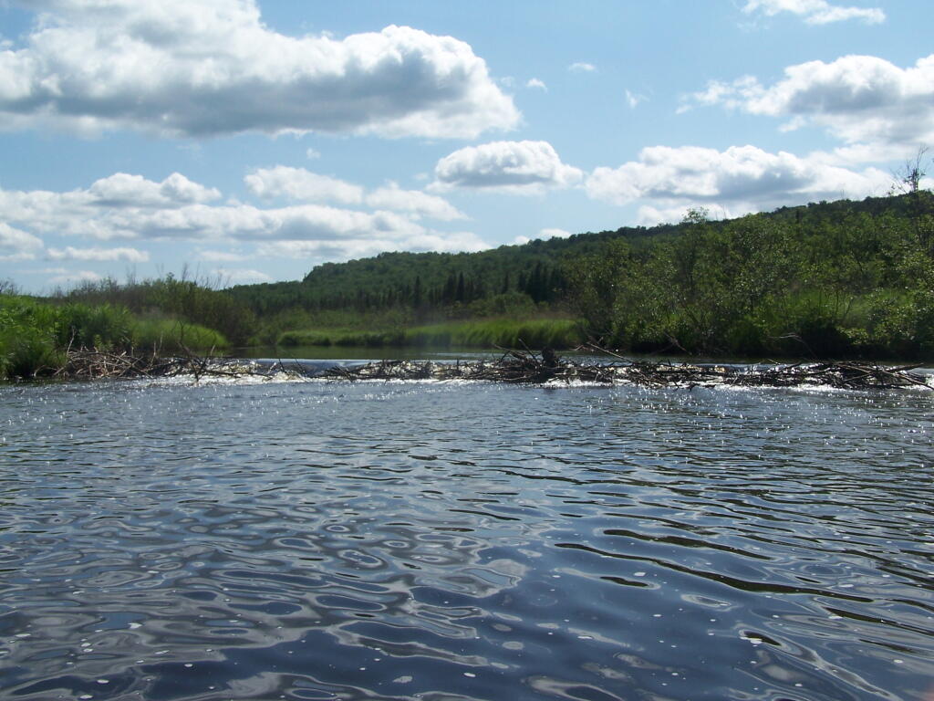
Above Lower Lows Dam. Paddling up the “flooded” Bog River, in the lower portion of Bog River flow, right above the Lower Lows Dam. If this area was not flooded by dams, it would be rapids, unaccessible by canoe or kayak.
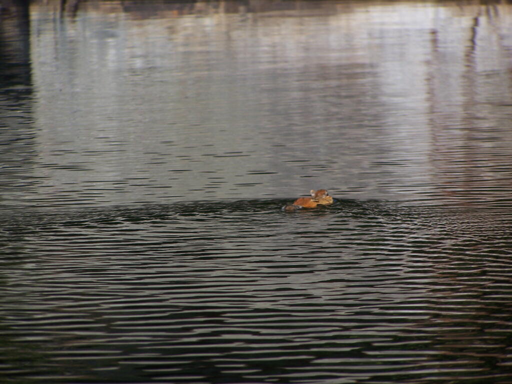
Chimpmunk Swims. This was taken about a mile above the Lower Lows Dam.
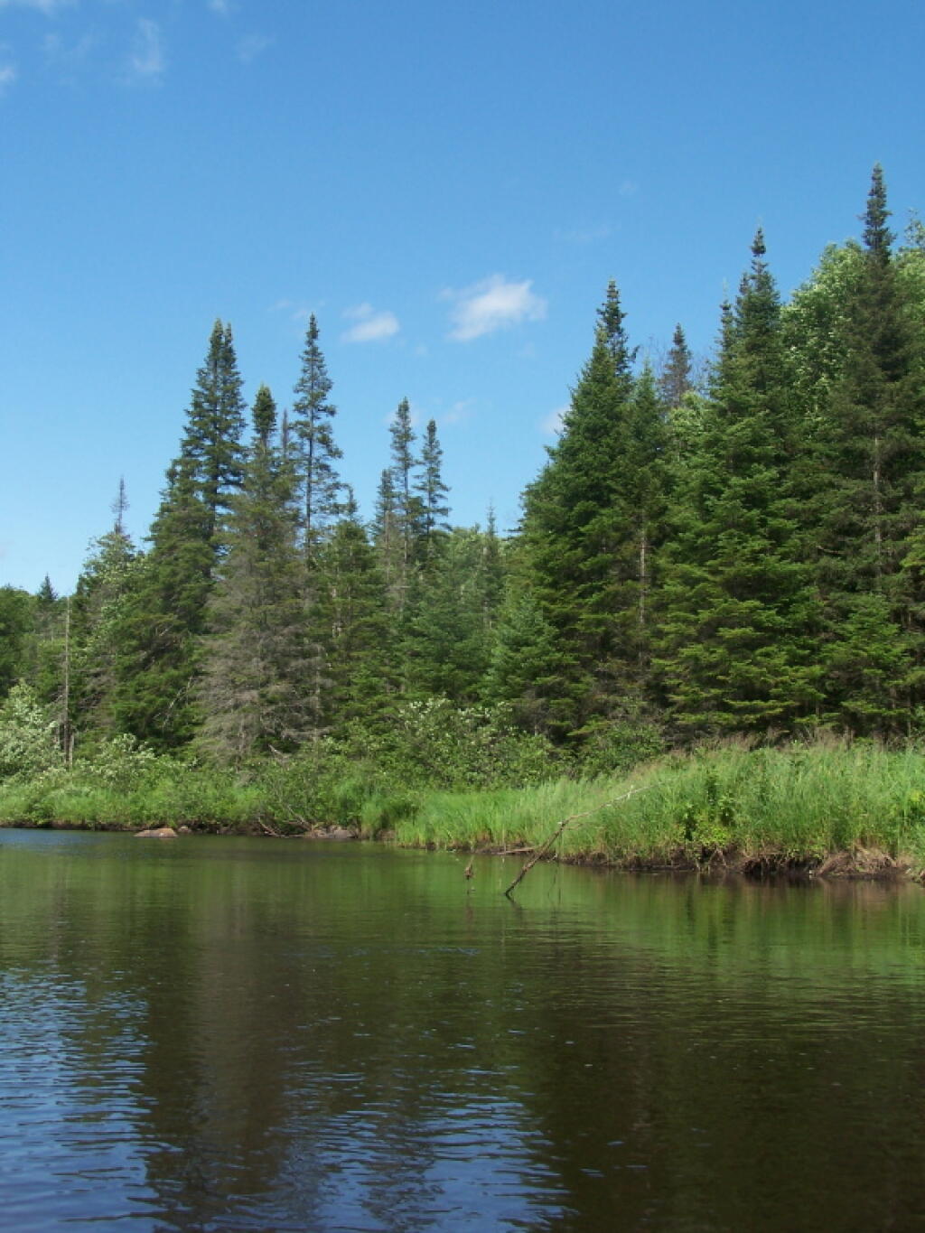
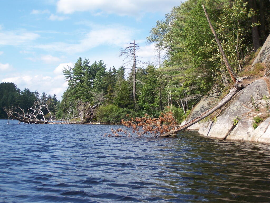
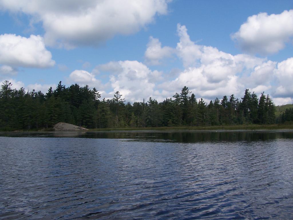
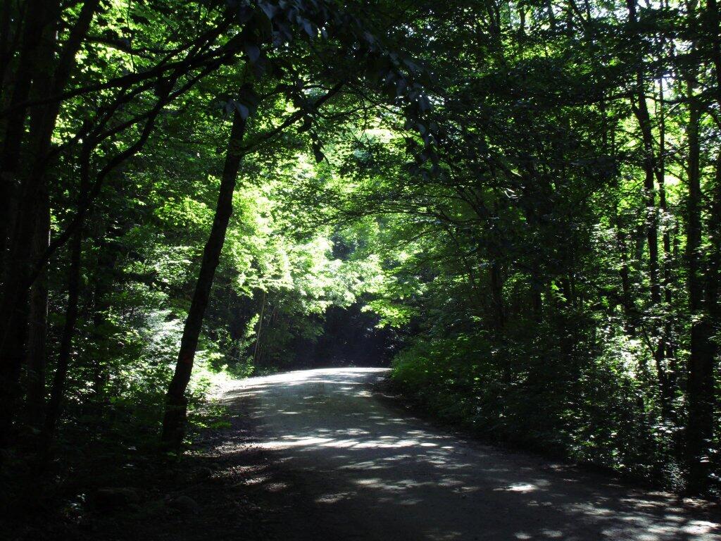
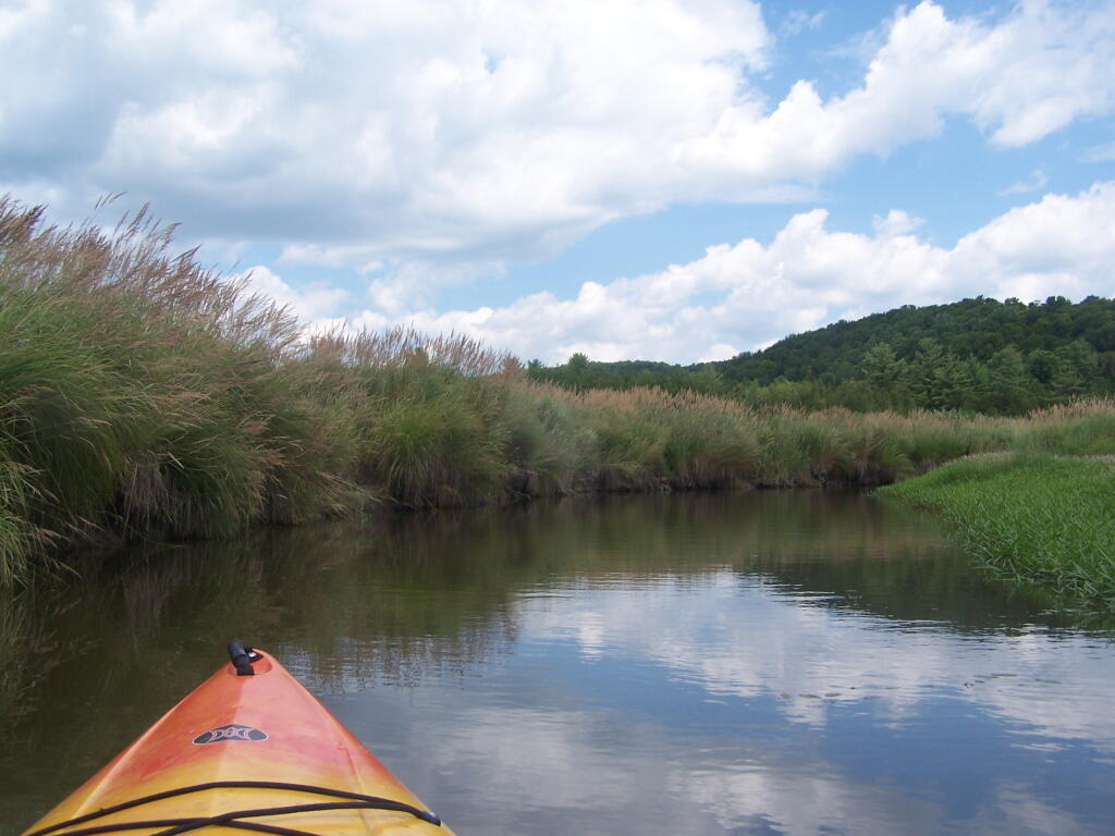
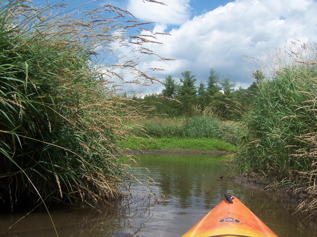
Bog River Flow Narrows. The Lower portion of the Bog River, is pretty narrow in part, due to the rocky terrain that it covers. You can easily bottom out a canoe or kayak in these parts, and other parts appear quite deep. There are a couple of paddle-in campsites along here.
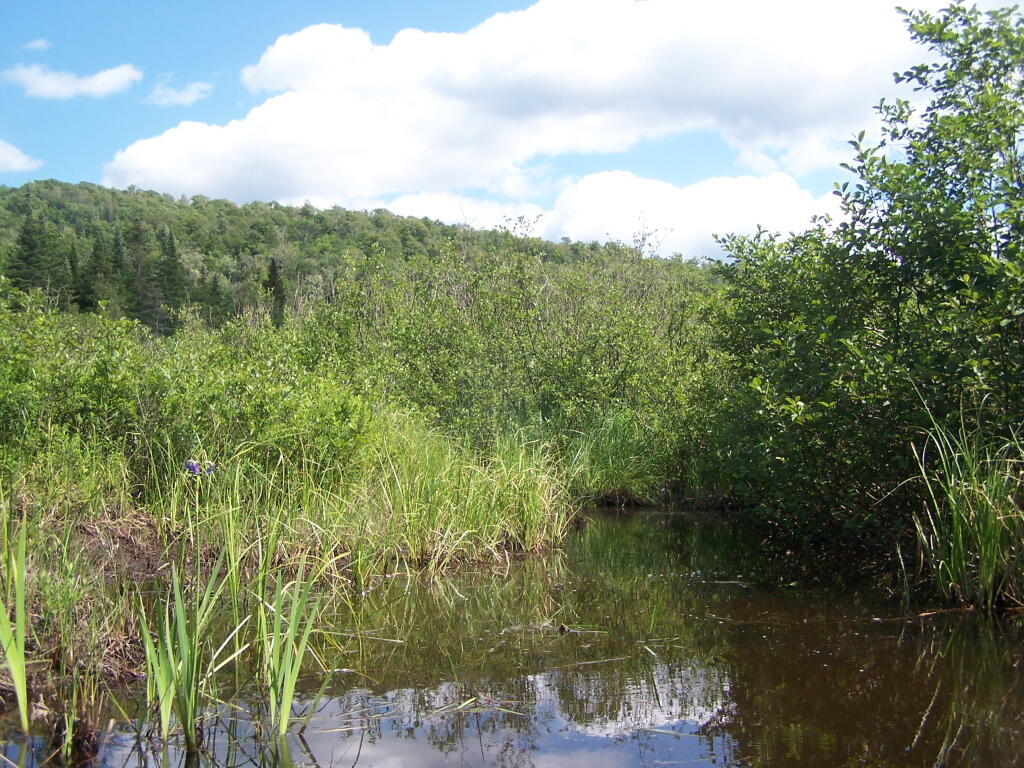
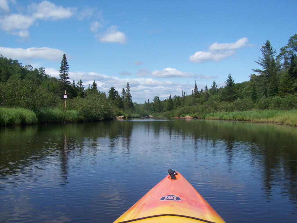
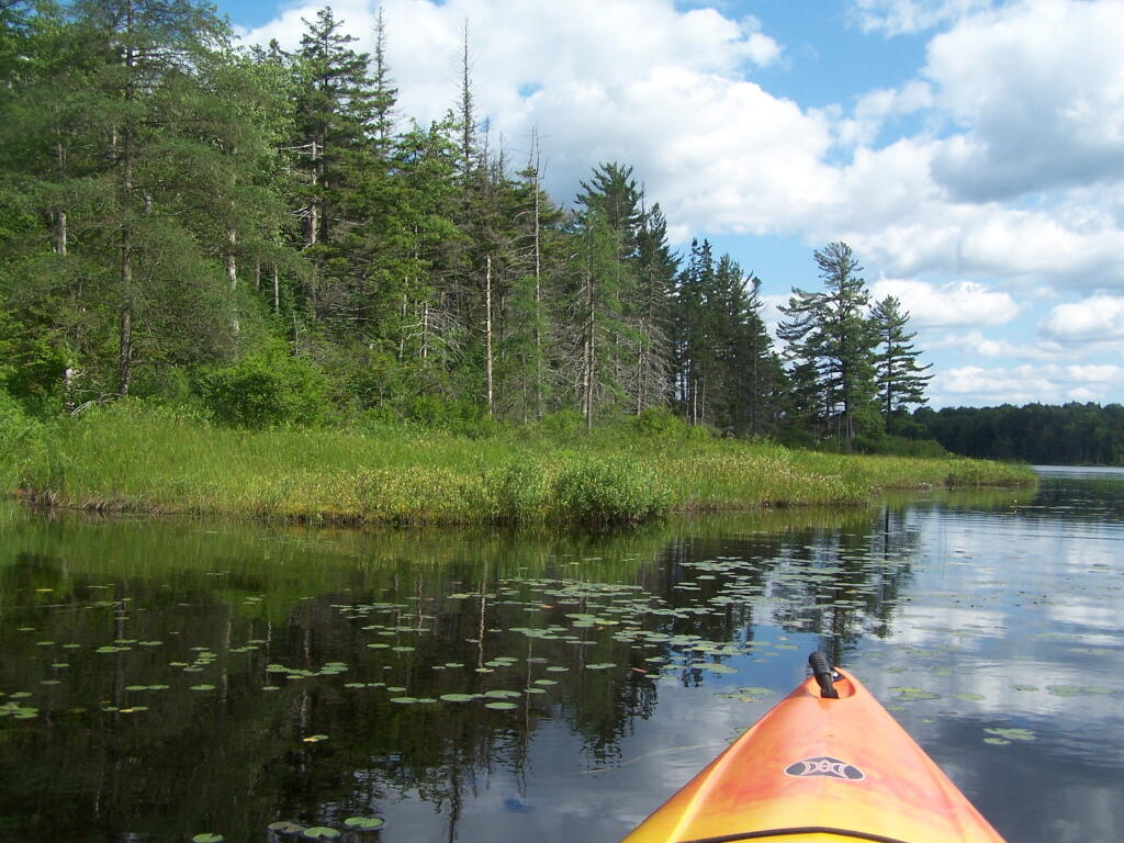
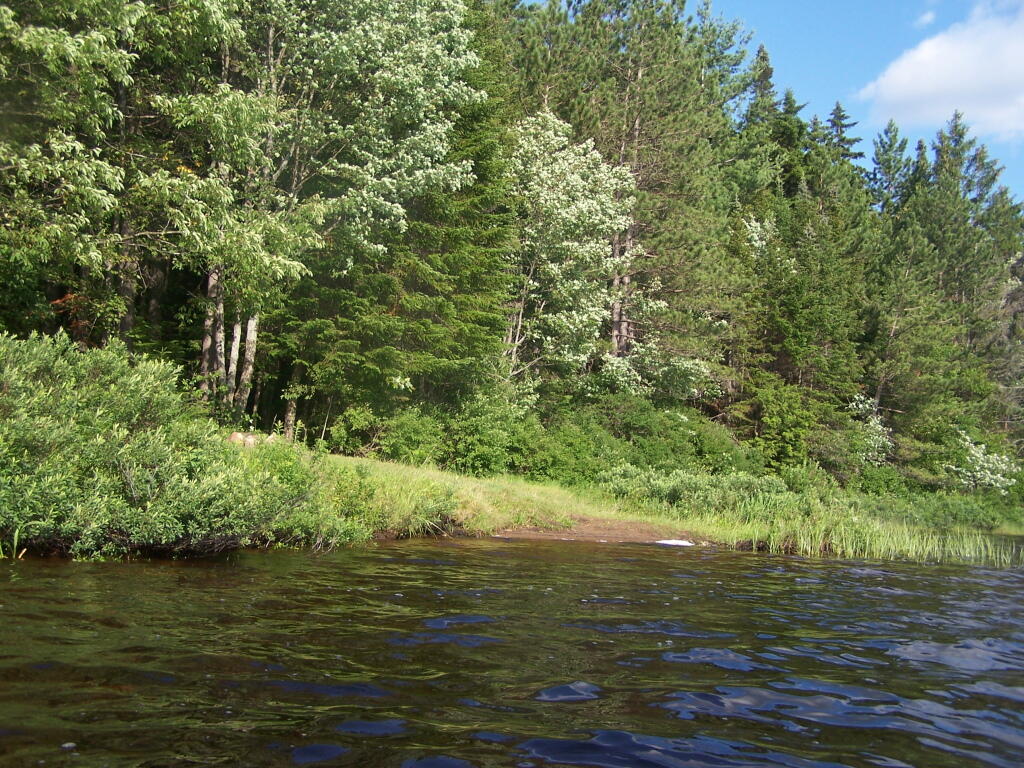
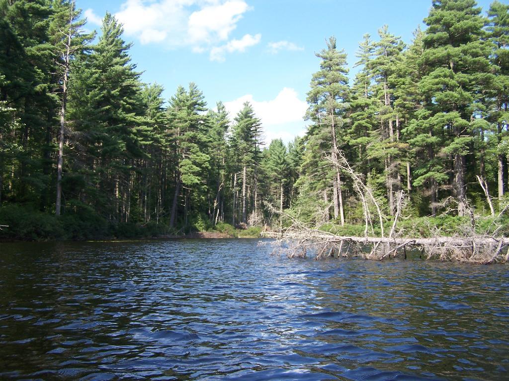
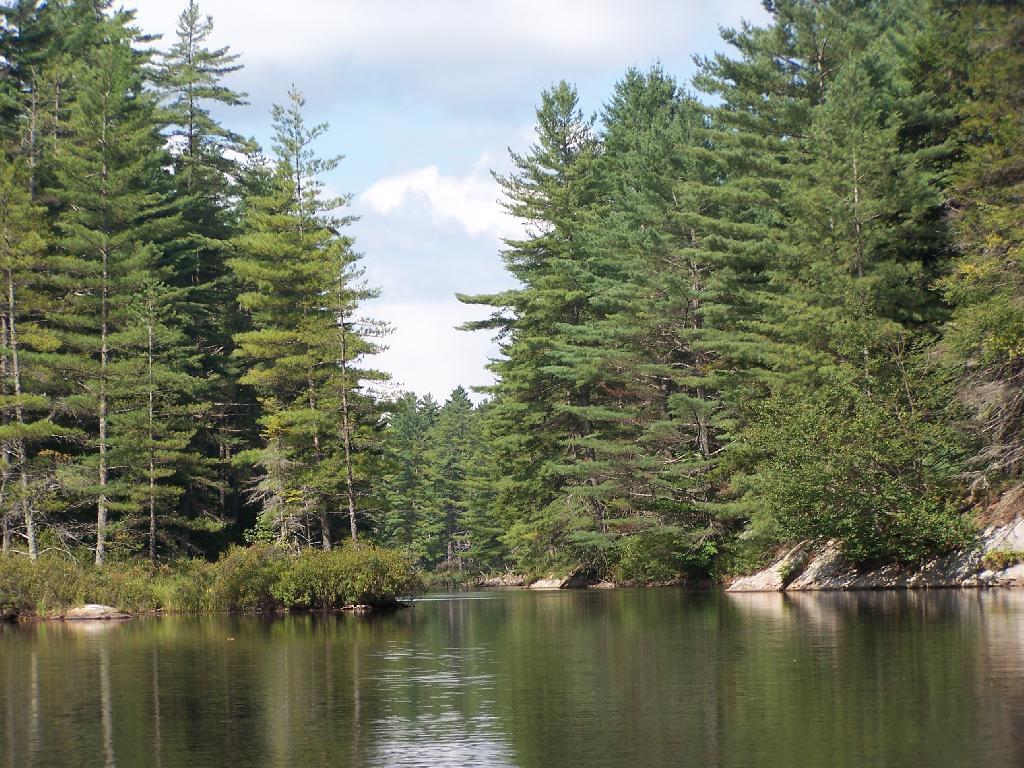
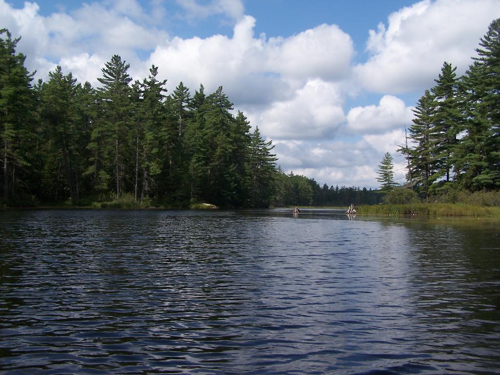
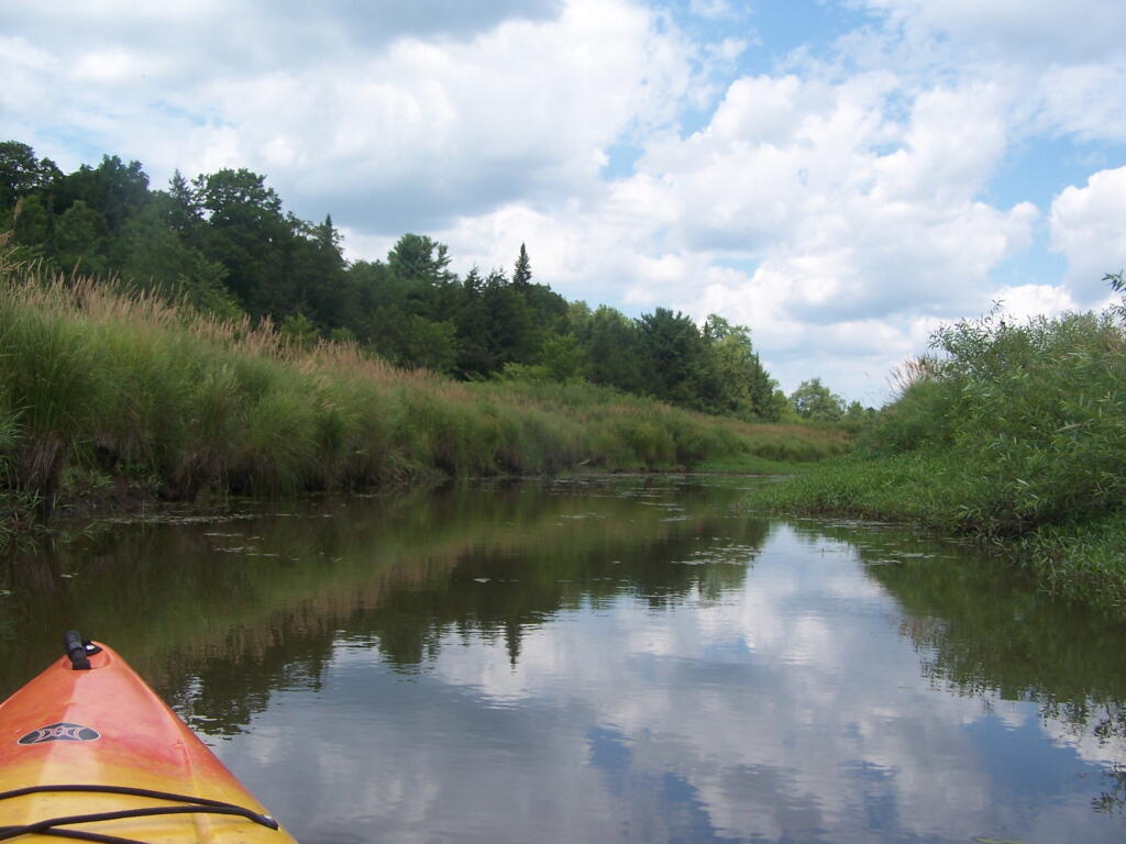
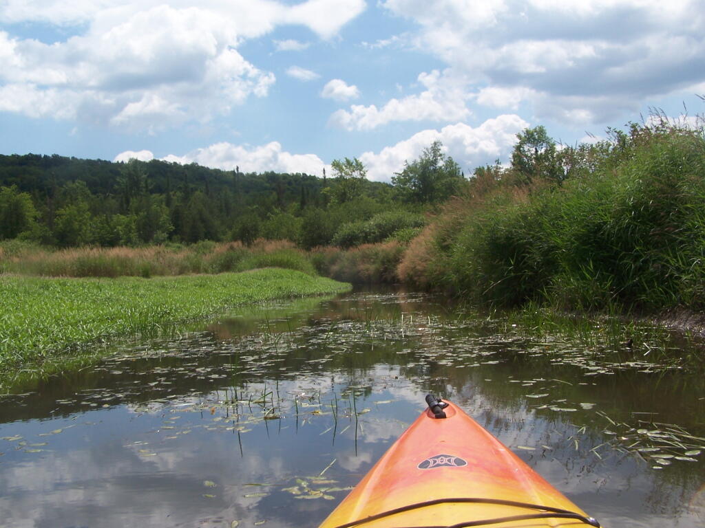
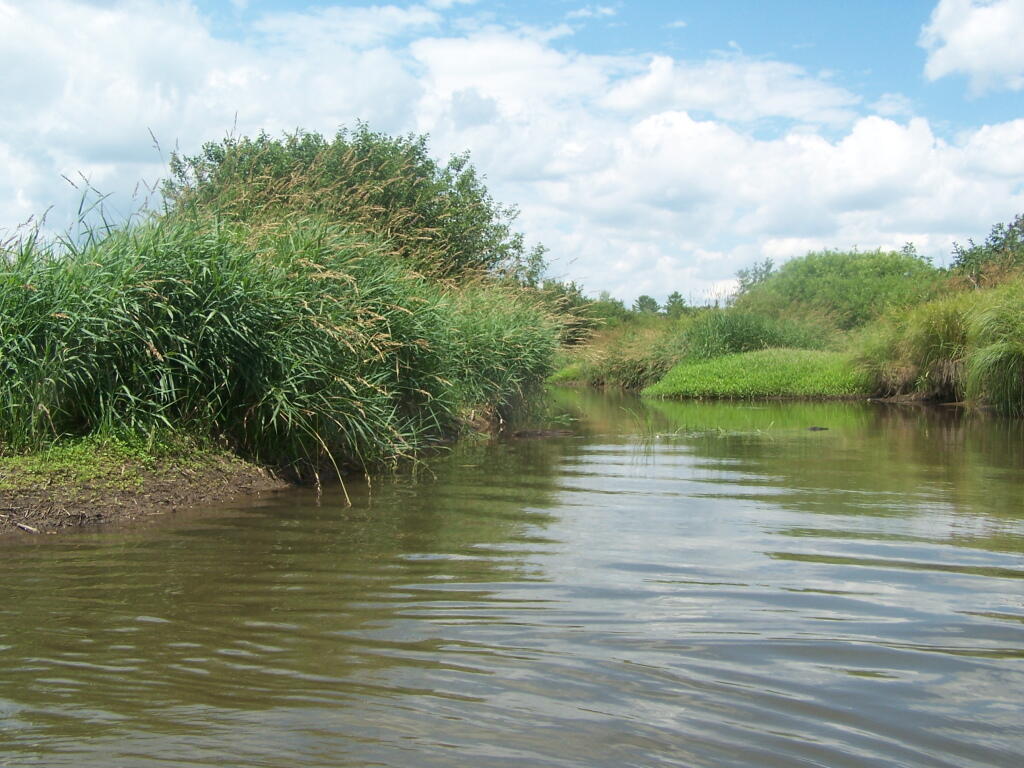
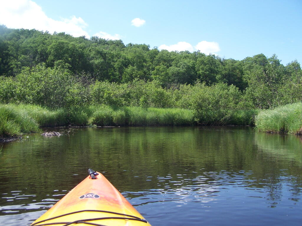
Bog River Open Up A Little Bit. The first mile or so of the Bog River Flow is mostly flooded stream. But as you get closer to Hitchens Pond, it starts to widen a bit.
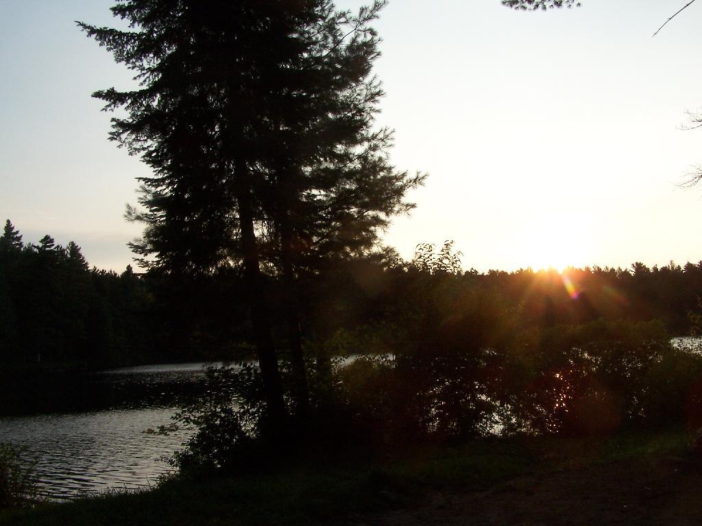
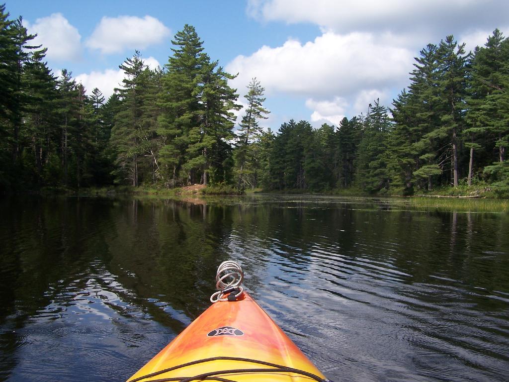
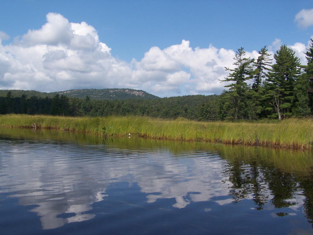
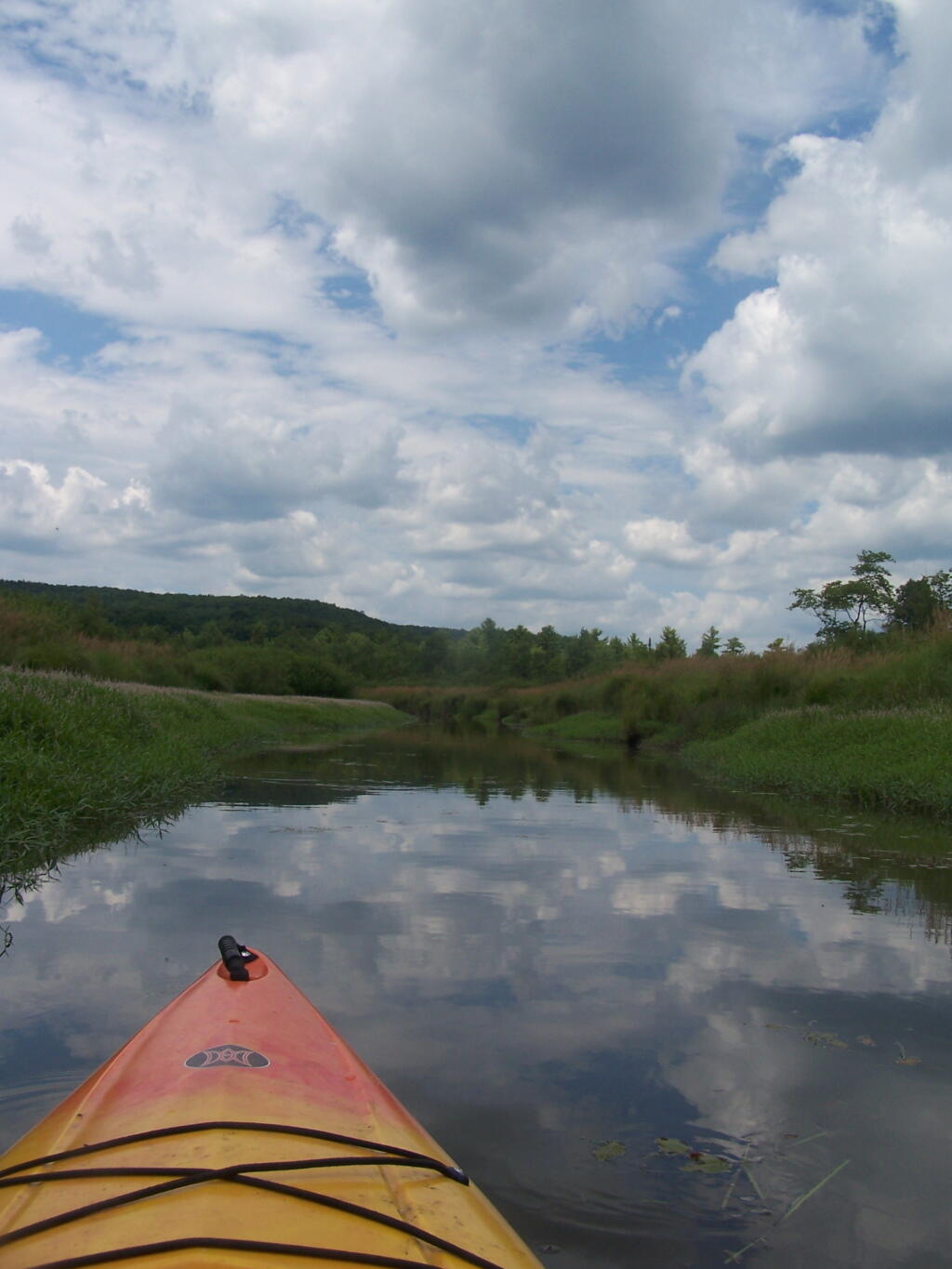
Entering Hitchens Pond. Just past here, is a hairpin turn, as the flooded River, winds a bit, and becomes a much larger lake, in the form of a series of bays and marshes.
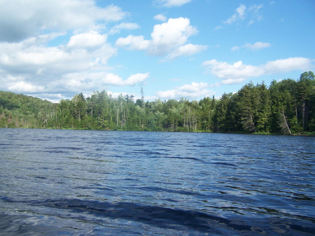
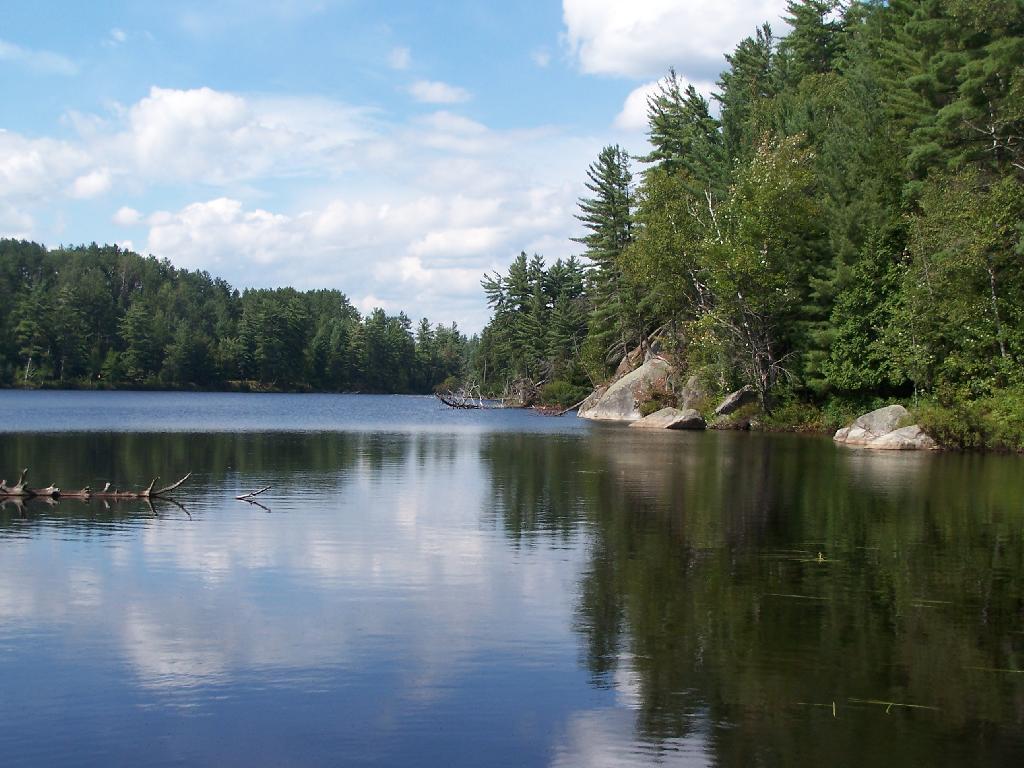
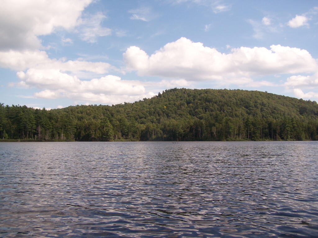
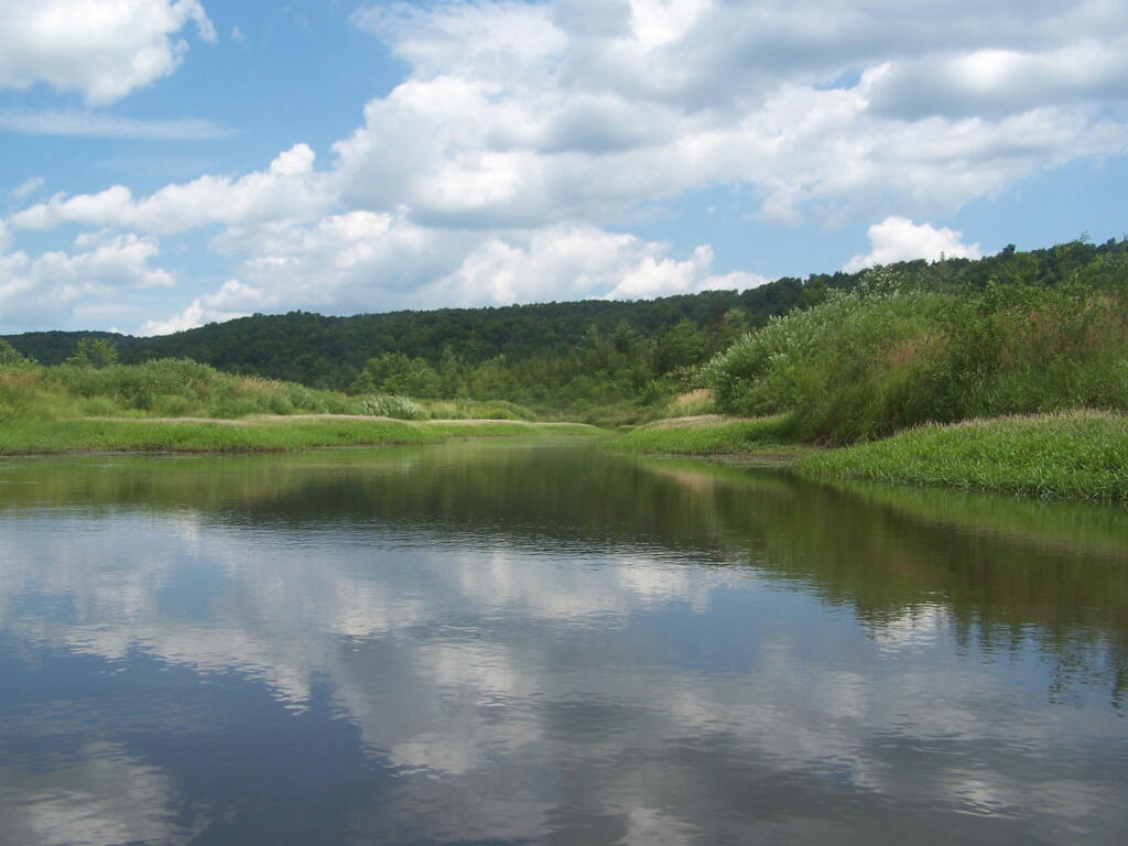
Hitchens Pond. Here things open up quite bit.
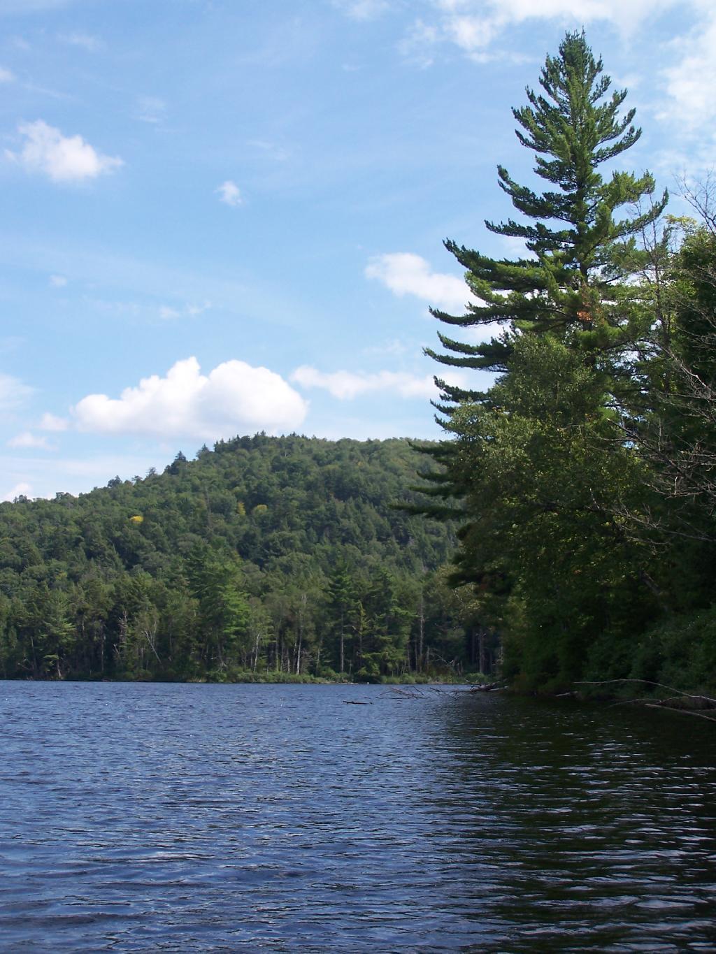
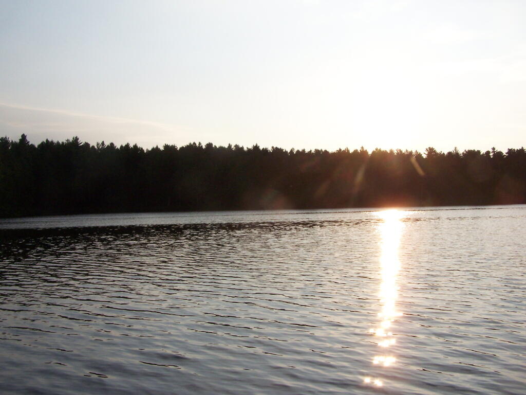
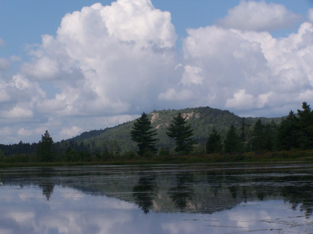
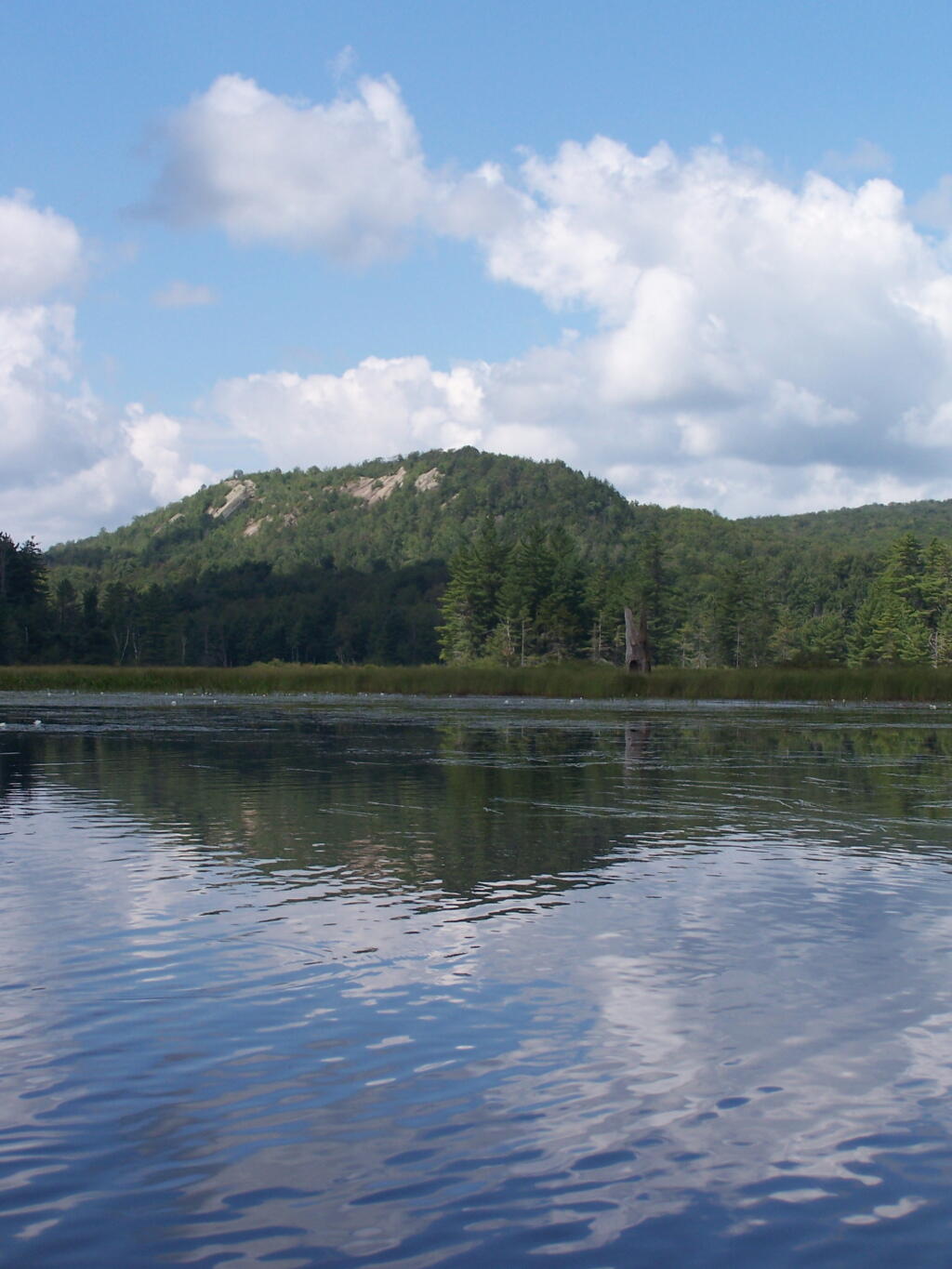
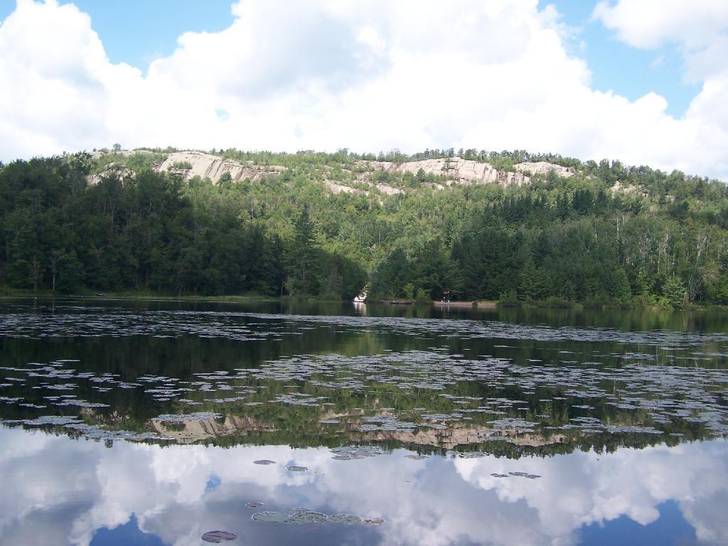
Lows Ledge. Here is Lows Ledge reflecting into Hitchins Pond. It’s much larger in person then it appears in this picture, unless you have a very big computer monitor.
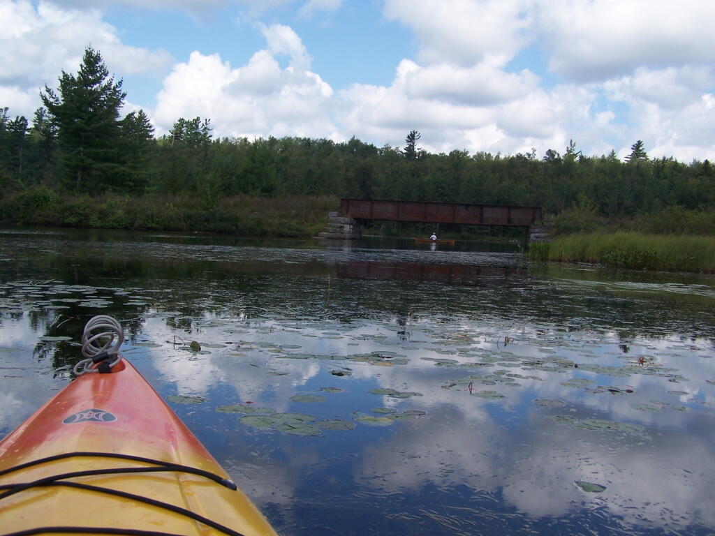
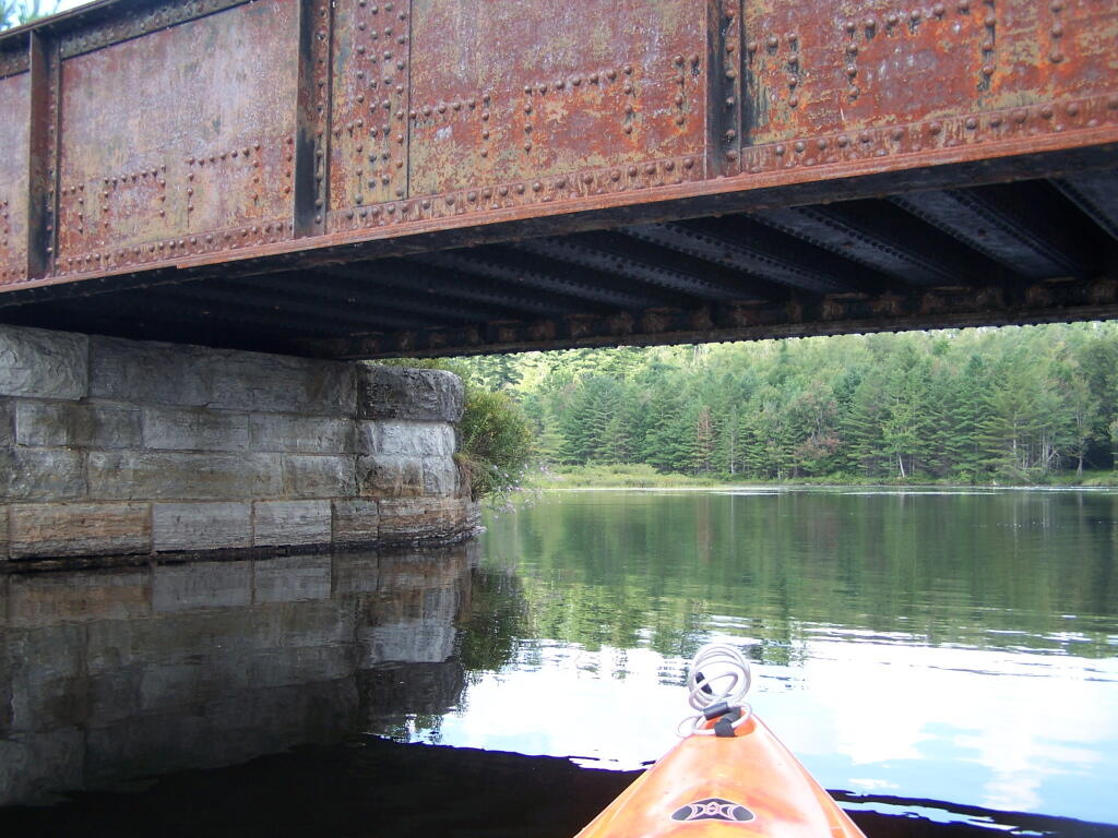
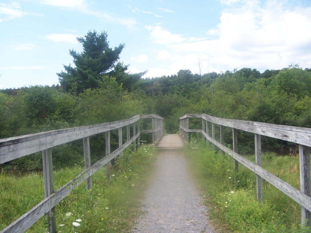
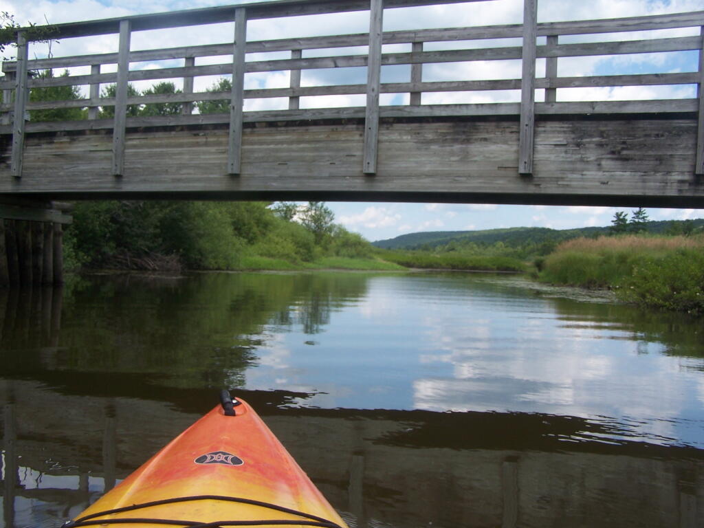
Railroad Bridge. About two miles into Bog River Flow, you cross under a relatively low railroad bridge. It’s actually about 5 or 6 feet above the flow, and doesn’t feel at all cramped in a canoe or kayak.
Under the Railroad Bridge. This shouldn’t be too bad to clear.
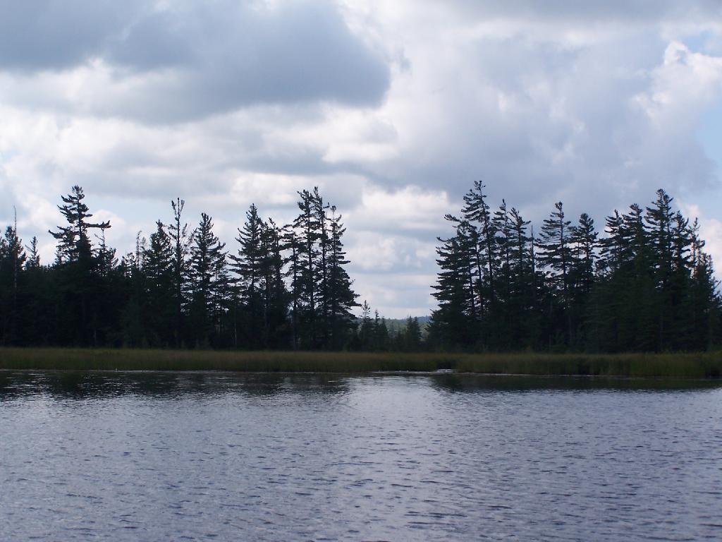
Trees Along Hitchens Pond. This picture can’t even reflect the beauty of this portion of Bog River Flow.
Break Time. Drinking all that beer, meant I had to find a place along the Flow to get out, stretch, and take a piss. Things being so boggy and soft in parts, meant there wasn’t a lot of open area to take a break.
Lows Ledge. I’m now about halfway between Lows Lower Dam and Lows Upper Dam, as the ledge reflects beautifully into the lake. It’s a very spiritual thing for sure, paddling along through this lake.
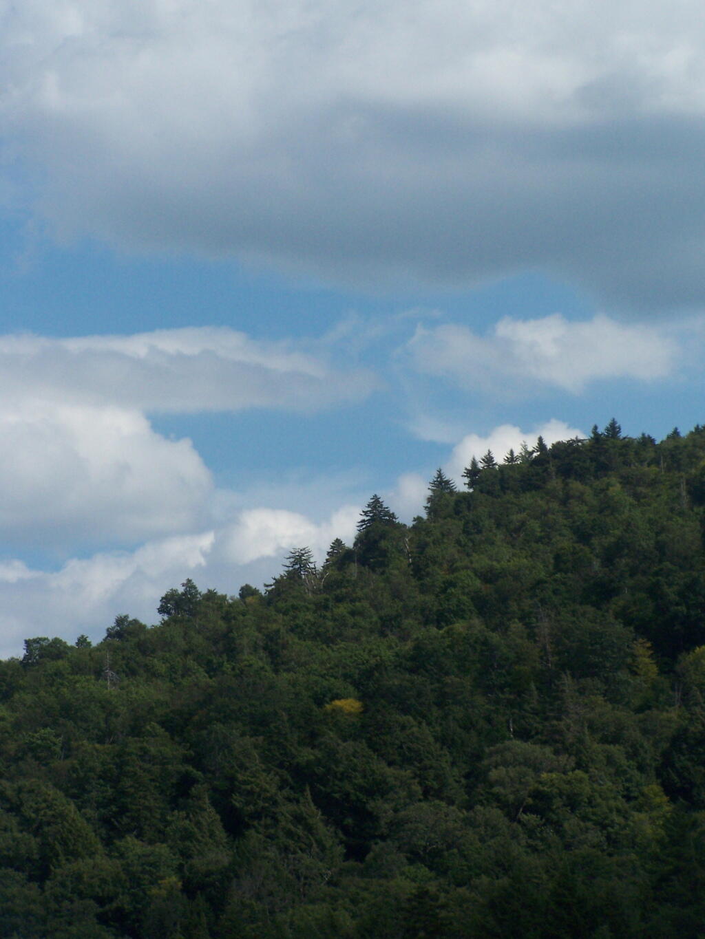
Clouds Rolling Out. To the south, it looked still quite cloudy. But there was something quiet spiritual about the area, and quiet vast. Something also spoke to me as being Saint Lawrence County, and as vast as one would expect the biggest county in the state to be.
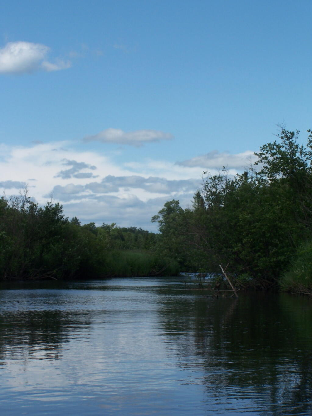
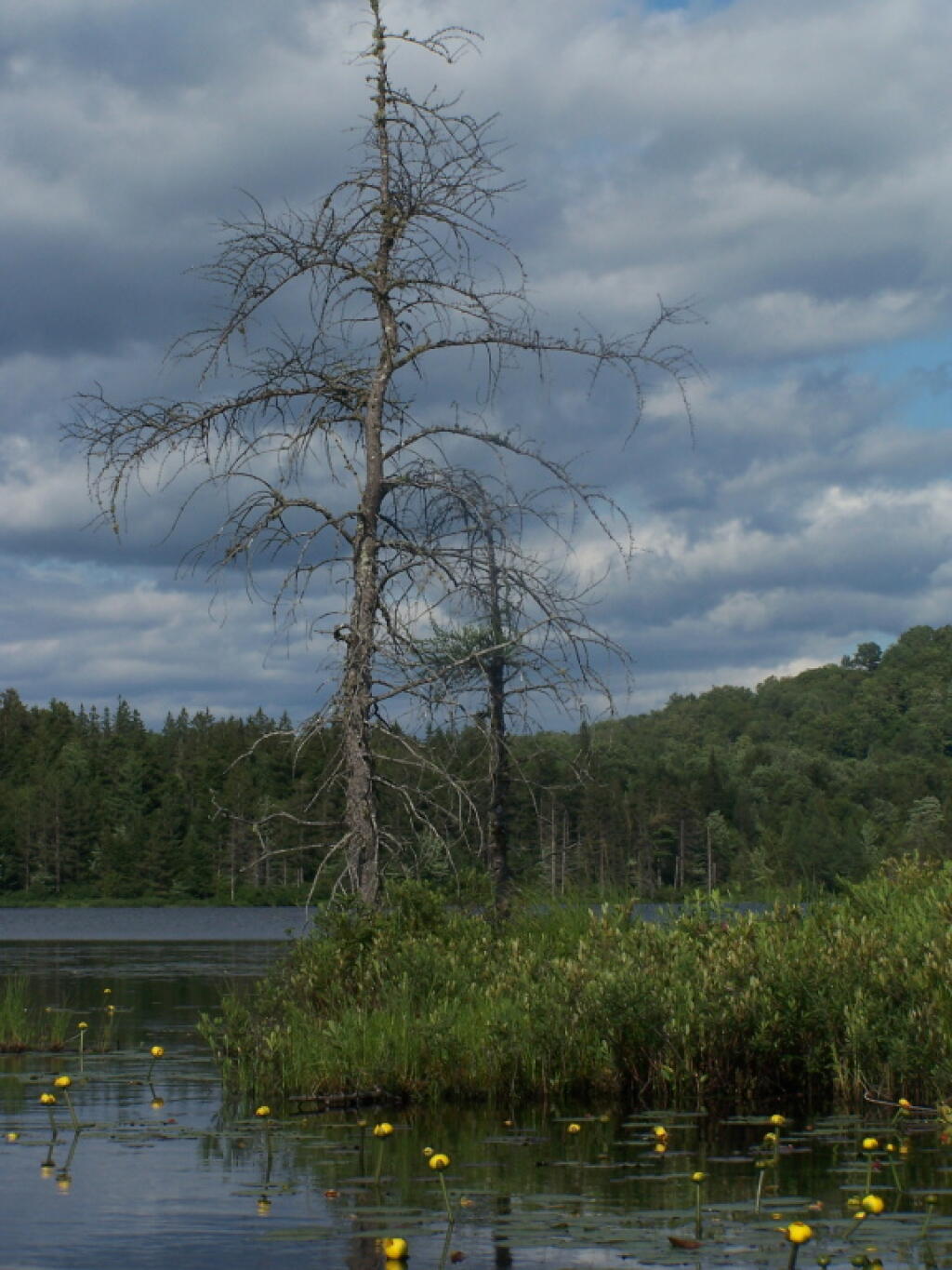
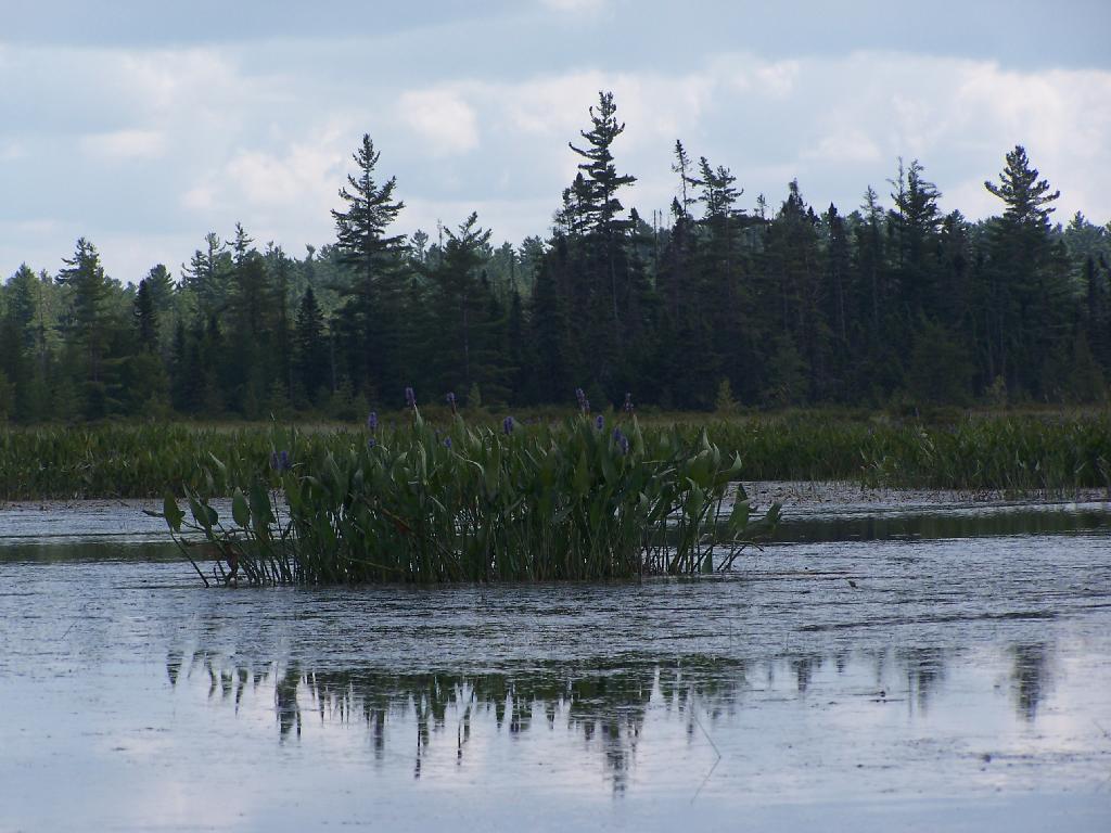
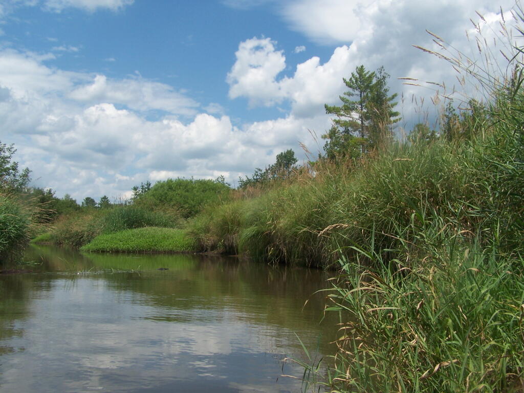
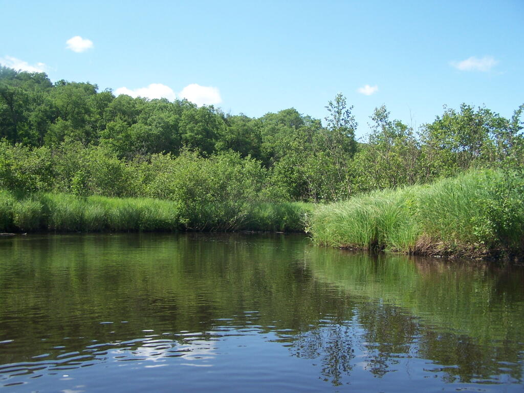
The Channel. The lake turns once again, with beautiful marsh lands along the edge of the lake.
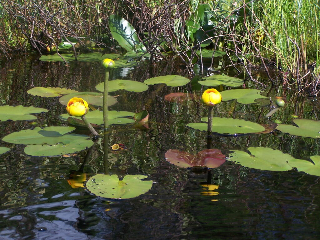
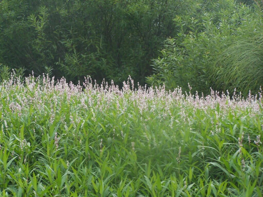
Marshy. Portions of Hitchens Pond are quite marshy, and can be tough going, especially if one gets out of the channel.
Trees. These trees line the last big turn at Hitchens Pond, where you finally get into the main bay, as you head towards the Upper Lows Dam.
Marshland. Along Hitchens Pond as we get closer to Lows Upper Dam.
Lows Ledge. Now we are almost up to the portage for Lows Upper Dam. Quite purty I must say.
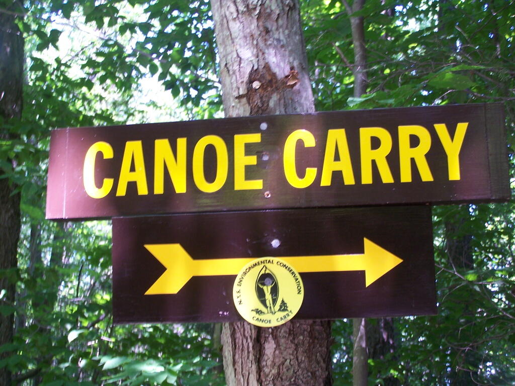
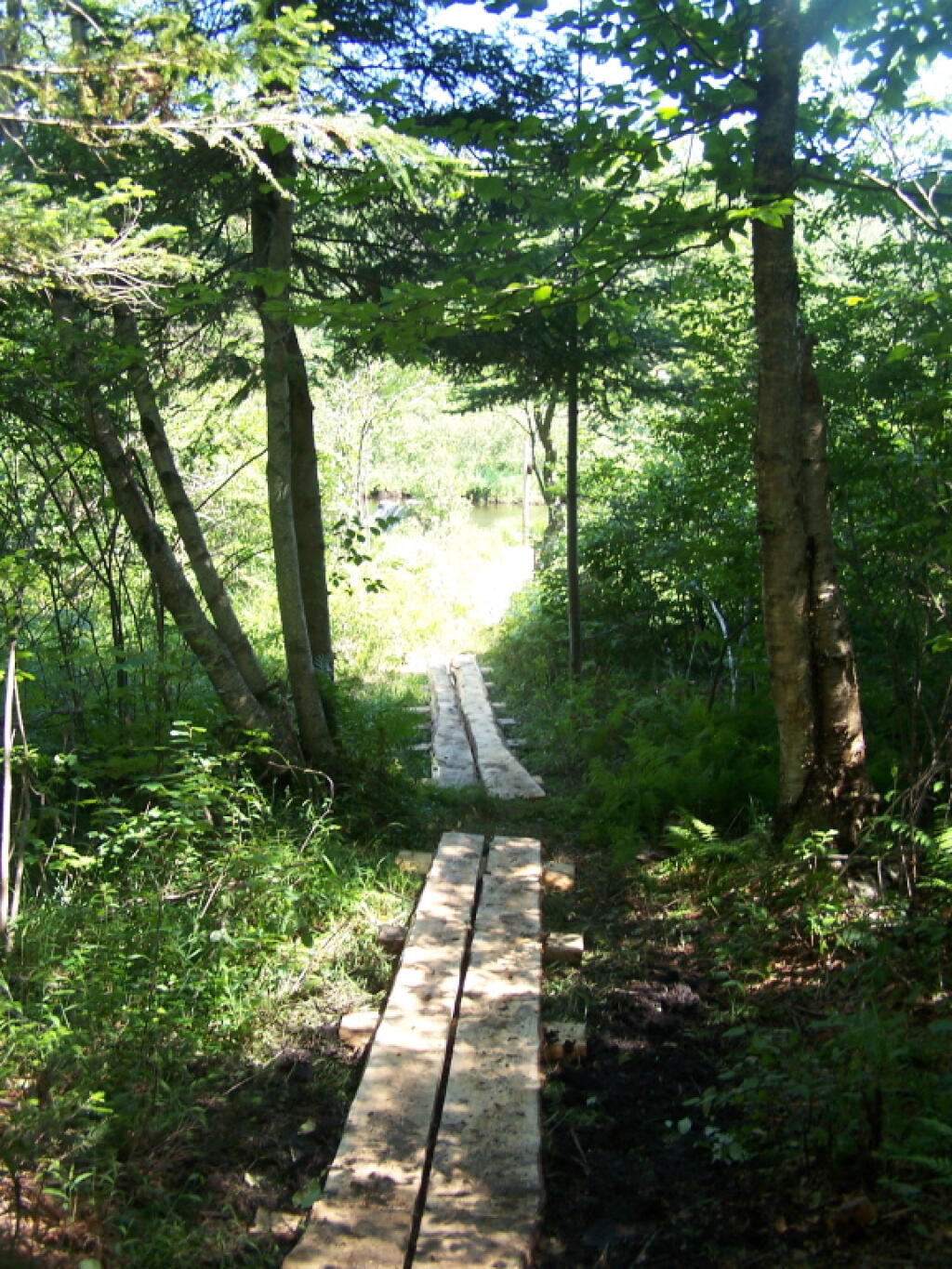
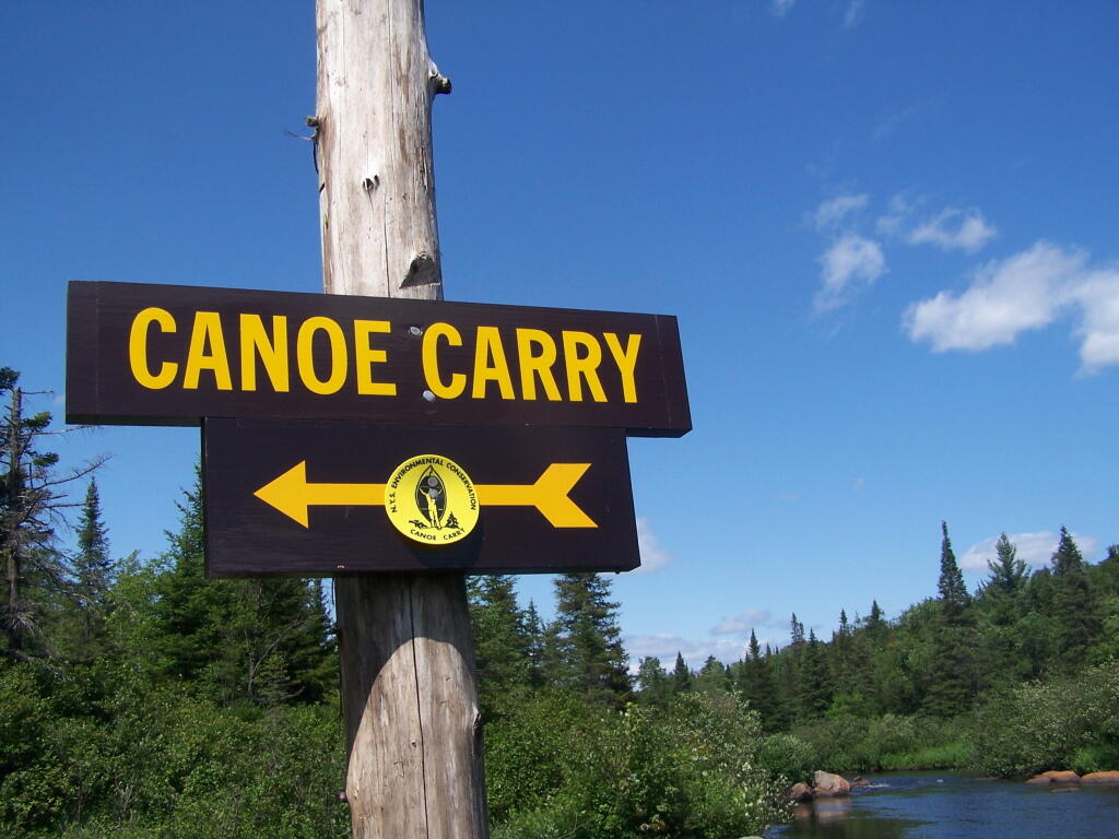
Kayakers Pull Out. You have to pull your boat out of the water, and carry it over the Lows Lake Upper Dam, about a 10 feet elevation, and maybe a 50 foot portage.
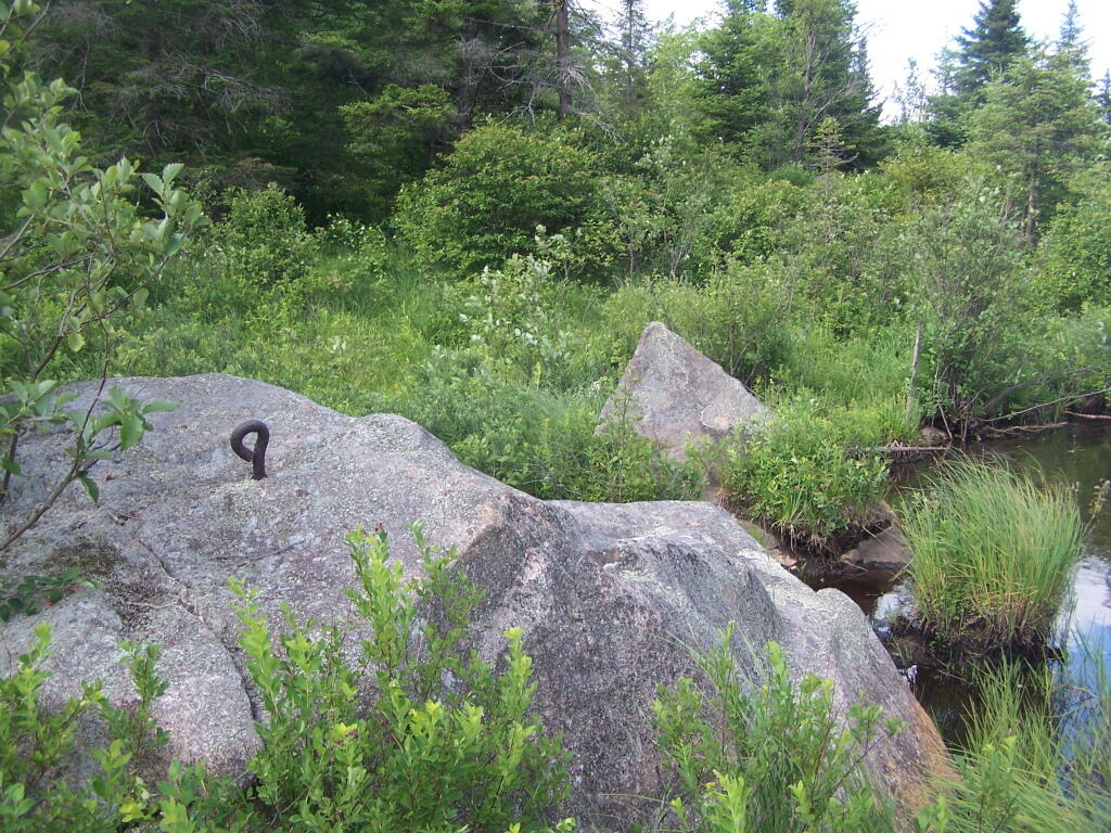
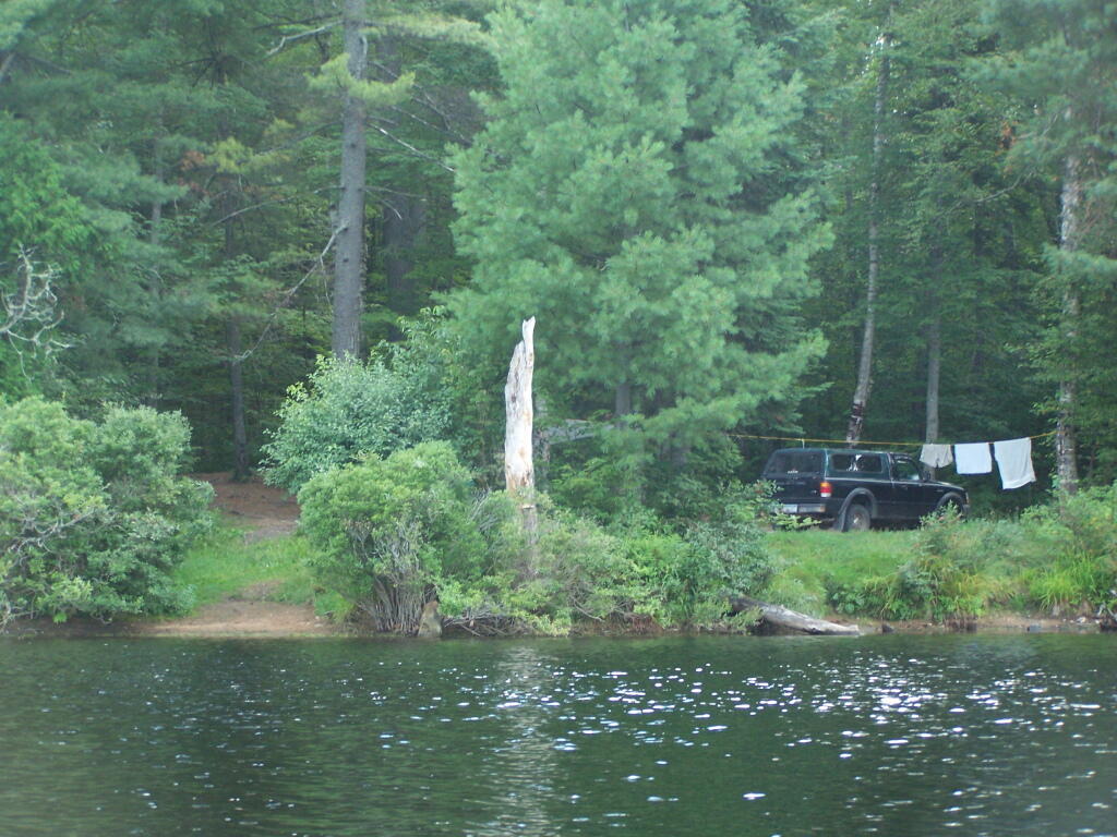
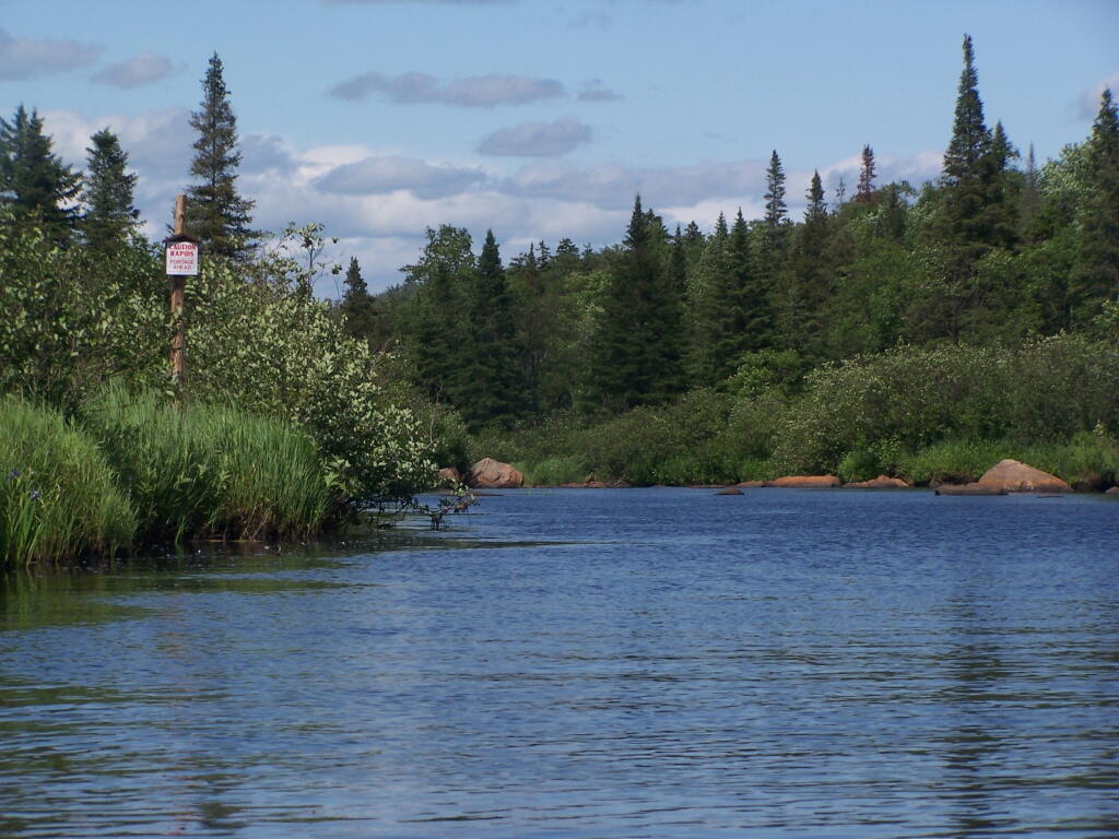
Bog River Area Pull Off. A lot of people pull out here, for lunch. Or they can be fools, and not use the channel to bottom of the dam, and carry their canoes, an additional 1/4 mile for no real purpose, to get it over the Lows Upper Dam. Not like I would be that stupid, now right? Of course, I just covered my camera with beer, so I shouldn’t be opening my mouth.
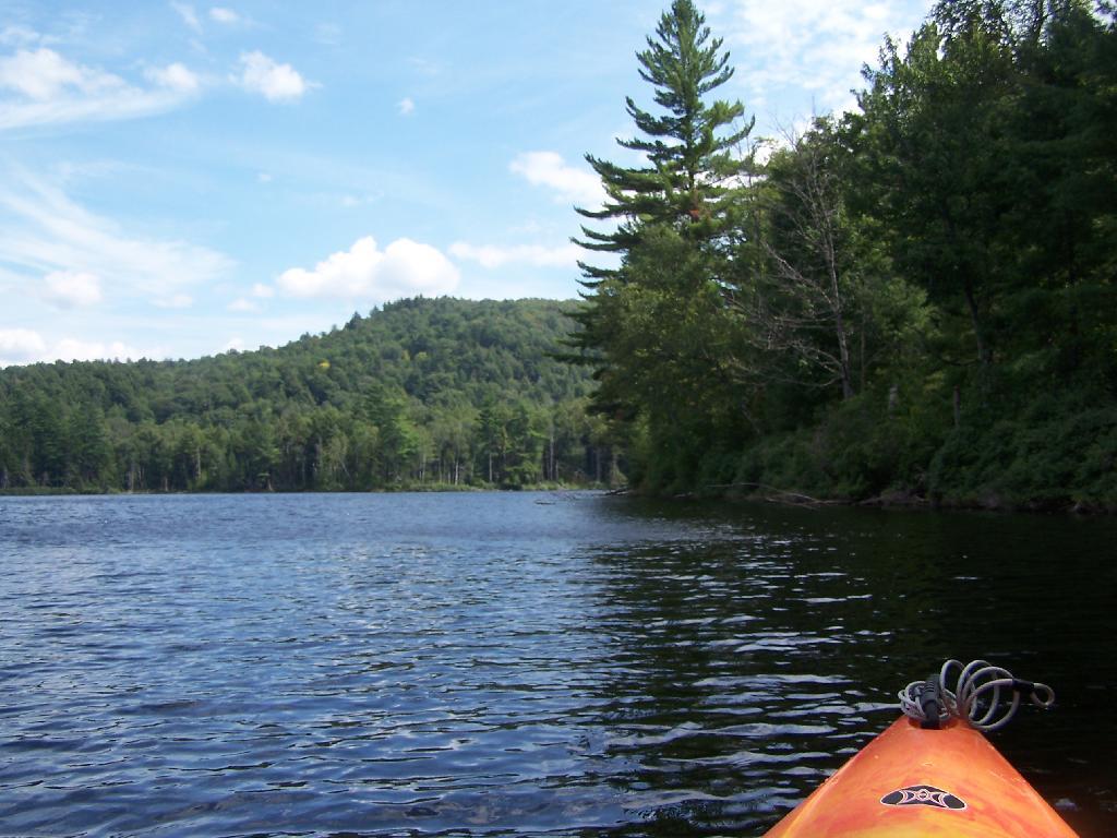
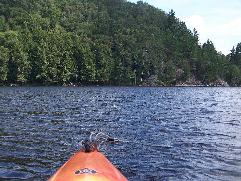
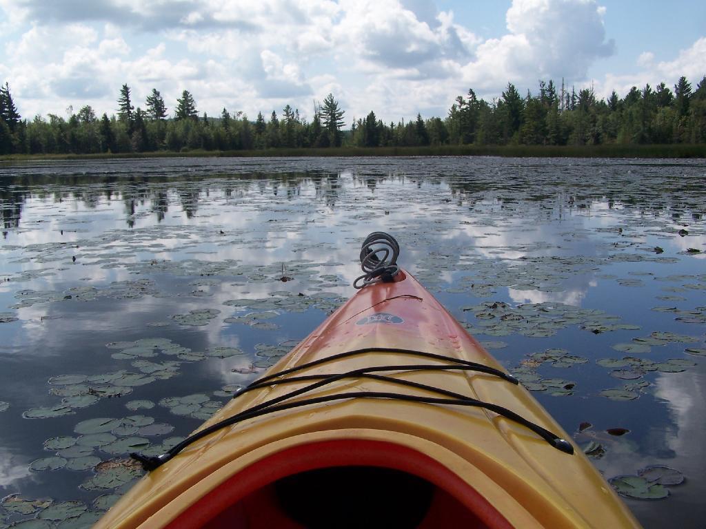
Lows Upper Dam. This is the last picture I got for the day, because I dropped the camera in a pool of beer in kayak, and things go wet. Eventually the camera dried out and started to work fine, but for now, we have to go pictureless. From here, the bottom portion of Lows Lake proper, above the Upper Lows dam, is much like the bottom part of Hitchens Pond, narrow, deep channel, that widens up.
Above Upper Lows Dam. This is the channel above the Upper Lows Dam, which technically is Lows Lake now. About a mile up from here, the lake gets shallow, and you must portage up into the more open Lows Lake main section. Yes, the camera lens has beer in it, that now has to dry out before I can take any more pictures. Nothing until tomorrow. It’s my Friday the 13th luck and stupidity of leaving the camera in the kayak, not in it’s protective case, as I pull out, and spilled beer soaks everything.
Note: Before attemping to kayak the Hudson, make sure you review the tidal charts first. The Hudson River, even in Albany, can have very strong currents either heading north or south, depending on the tide.
The river increases and drops on average of 5 feet per change of the tide, with the strongest currents at roughly 3 hours after the last tide change. Expect especially strong currents around that time. And do not expect to be able to easily paddle against the tide. When the tide is going out, and water levels are dropping, the river pulls strongly to the south, when the tide is coming in, the river pulls to the north.
Where is a quiet place to kayak near Cedar Ridge and the Brookfield Horse Camp? Have you ever thought about kayaking the Beaver Creek, from Horse Trail 60 north until the end of the navigable waters?
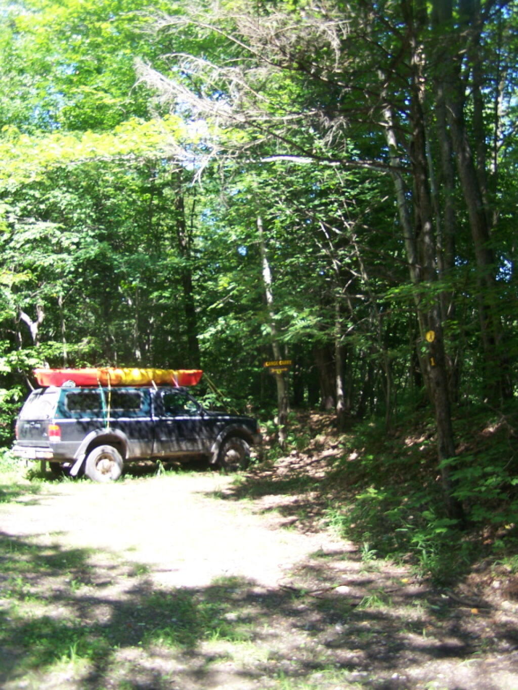
You take Fairgrounds Road north from Brookfield NY, until a first parking area on the left of the road. This is Horse Trail 60. It’s a short portage (1/8 mile) until you reach the bridge crossing the Beaver Creek.
Put in the on the side of this bridge. I did from the east side, through the marshy ground, but you could portage over the horse bridge, then put on the west side, and avoid the marshy ground.
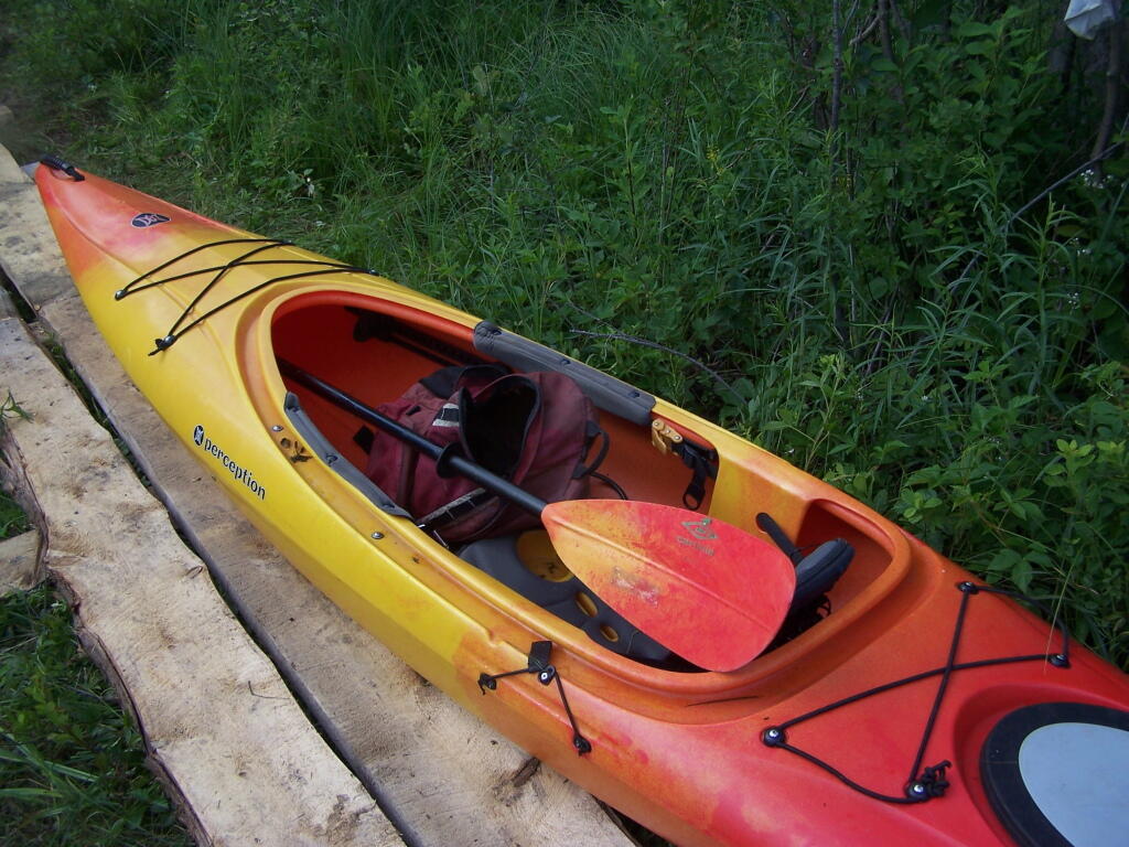
Having a good set of wheels means you won’t have to carry your kayak, but make sure not to drag it on the gravel to avoid wearing holes in your kayak, as I learned earlier this summer.
This is a delightful little trip. Do drive the Charles Baker Auto tour, or hike some of the many trails in the area…
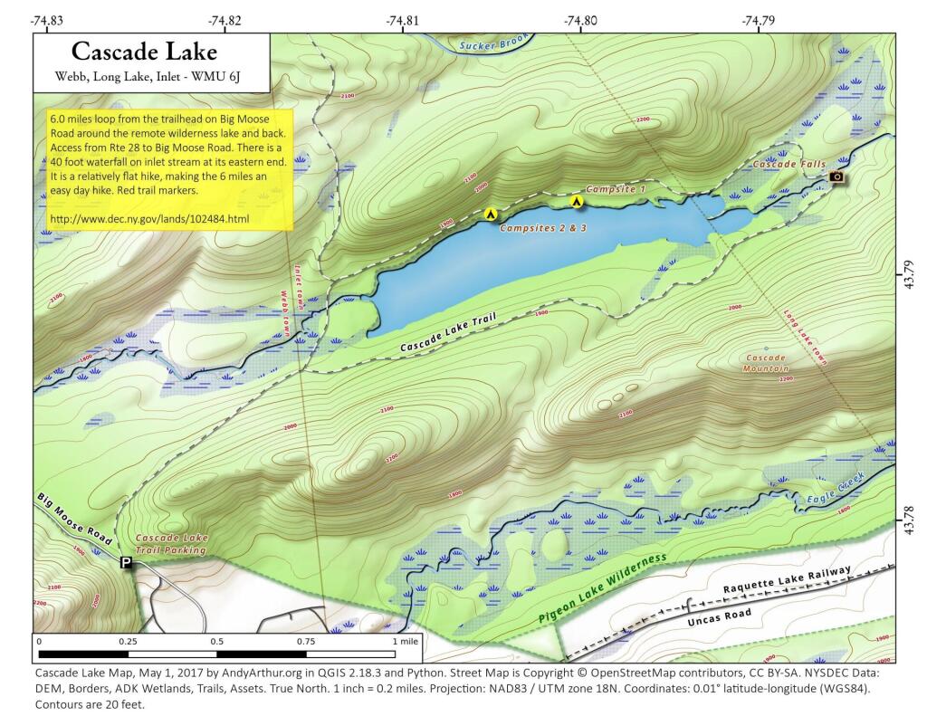
The Little River offers some interesting kayaking opportunities, and can be part of a roadside camping experience at Streeter Lake in Aldrich. Here is a map, you can click to expand and print up.
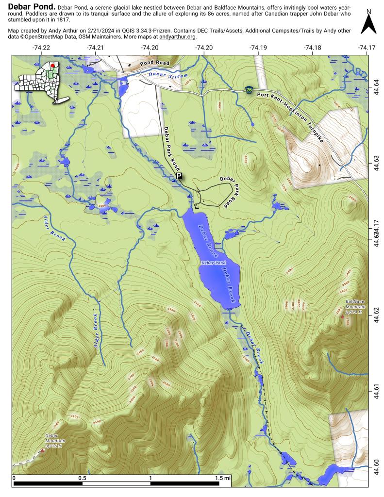
Mountain Pond is located about 2 miles North of Paul Smiths College on an old routing of NY 30. It is a mile long, has catch and release fishing, and good place for some solitude and flat water paddling. It is in Debar Mountain Wild Forest, with 2 large campsites on the pond, 3 smaller ones on or near the pond, and 10 other along Mountain Pond Road. It’s little used due to it’s remote location, and easy to even get one of the large sites on the lake on the weekends.
Paddling. Just paddling along Mountain Pond in the kayak.
Tall Pine. Lining the edge of Mountain Pond, as I ride around in the kayak.
Towards Jenkins Mountain. The last hill that makes up Jenkins Mountain is where Mountain Pond gets it’s name from.
From Southern End of Mountain Pond. This is looking from Campsite 1 at the Southern End of Mountain Pond, looking North. Old NY 30 winds right along the shore of NY 30, the New Routing is about a 1/2 mile away for NY 30.
Campsite No 1. This is campsite No 1 at Mountain Pond. It was never used on the Saturday Night I was there, but it looks nice, if not a bit small.
View from Campsite 1. Here my kayak is parked at Campsite 1, where I got out for a stretch. Looking south at this rather spectacular looking lake on a great day. The lake winds back and forth, for about a mile.
Along Edge of Pond. This is looking at the eastern, more mountainess shore of Mountain Pond.
Central Part of Lake. On the left is the western shore, by where NY 30 runs. It is a beautiful, if not humongous lake with lots of shoreline and bys.
Many Downed Trees. There where many downed trees that had fallen into the lake, from the often steep eastern edge of mountain pond. Campsites are on the other side of the lake, and they all where in good shape.
Northeastern Bay. Here is an Northeastern Bay at Mountain Pond. Not as pretty as farther south with the steep rock ledges against the lake, but still a classic Adirondack Lake.
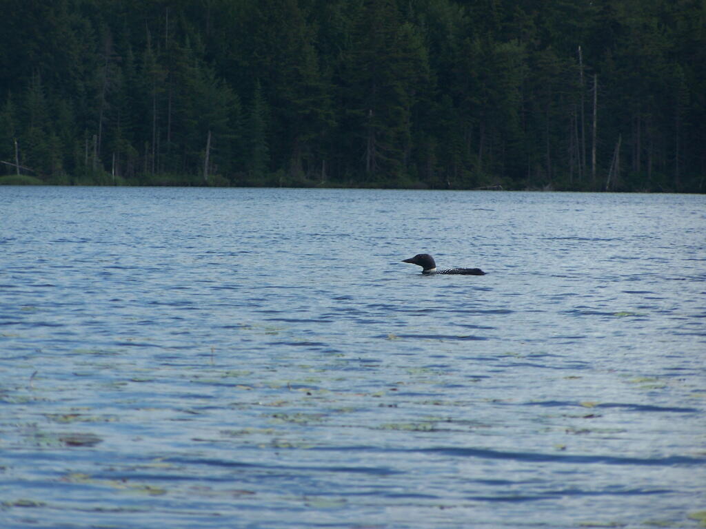
Loons. While this picture is somewhat in shadow, there where loons on Mountain Pond. They were not all that noisy, compared to Polliwog Pond or especially Mason Pond, where they howled quite bit more in the evening.
Mountain. This is the Mountain at Mountain Pond. It’s not much more then a hill, because Jenkins Mountain has largely petered out before reaching here, but it’s still a lot higher then surrounding elevation.
Campsites No 4 and No 5. As I had previously noted, Campsites 4 and 5 where pretty close to one an another. Nobody ended up staying at No 5, although somebody parked there for a while to go paddling.
Treeline. This is the tree line towards the top of Mountain Pond, on this rather beautiful day for sure.
Campsite No 4. This was taken from the lake. It was great to be right on the lake, at this very remote Adirondack Pond.
Mountain Pond is located about 2 miles North of Paul Smiths College on an old routing of NY 30. It is in Debar Mountain Wild Forest, with 2 large campsites on the pond, 3 smaller ones on or near the pond, and 10 other along Mountain Pond Road. It’s little used due to it’s remote location, and easy to even get one of the large sites on the lake on the weekends.
Old NY 30 Signs. Along Mountain Pond Road/Old NY 30, you can see the road signs dating back to the 1960s or maybe even earlier, prior to modern alignment of NY 30.
Campsite 4. Here is the view of Campsite 4 from Old NY 30/Mountain View Road and down by the lake. A nice campsite, big, roomy, and private, although the much smaller Campsites 5 is fairly close.
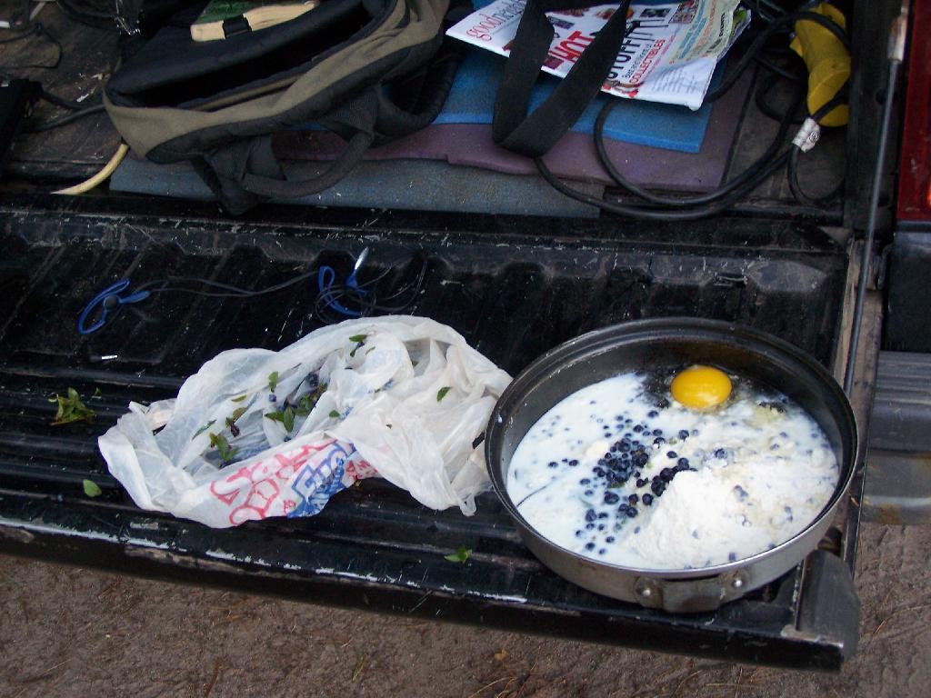
Making Up Blueberry Cake Mix. Here I’m the Blueberry Cake Mix, and getting ready to add the Blueberries I picked up at Moose River Plains. Should be real good.
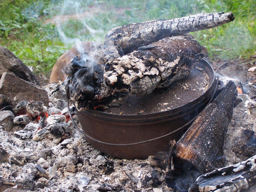
Baking in Dutch Oven. That sure smells good, doesn’t it. I put the pan that the mix was in dutch oven up on rocks, so it didn’t burn the bottom of the cake, and made sure to add adequate coals to the top to keep things cooking evenly.
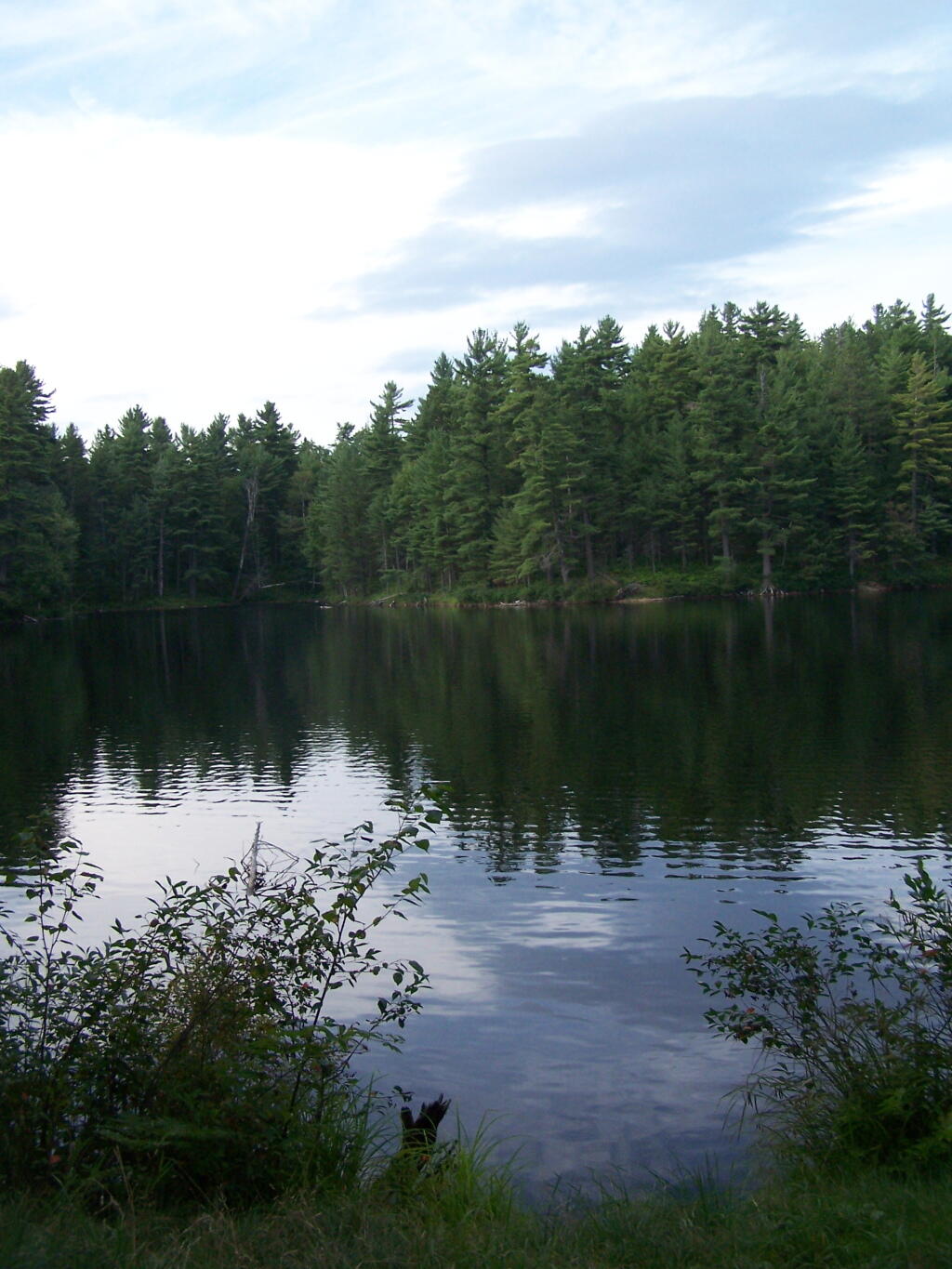
Mountain Pond in the Evening.
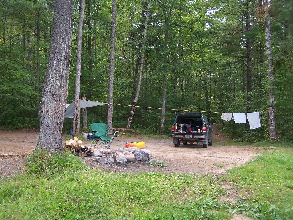
First Rays of Sunshine. I purposefully picked this campsite, and parked my truck so that the first rays of the sun, would come through the truck cap, and wake me up around the crack of down (around 6:35 AM this time of year).
Getting Out and Stretch. That’s my rig with all the messy camping gear and sleeping stuff around, as I first awake in the morning.
Sunshine. Sparkling on the pond, first thing in the morning. Real purty.
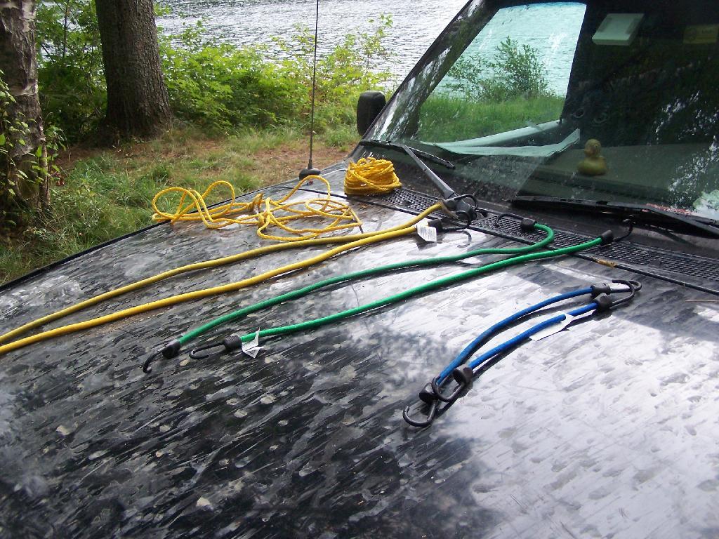
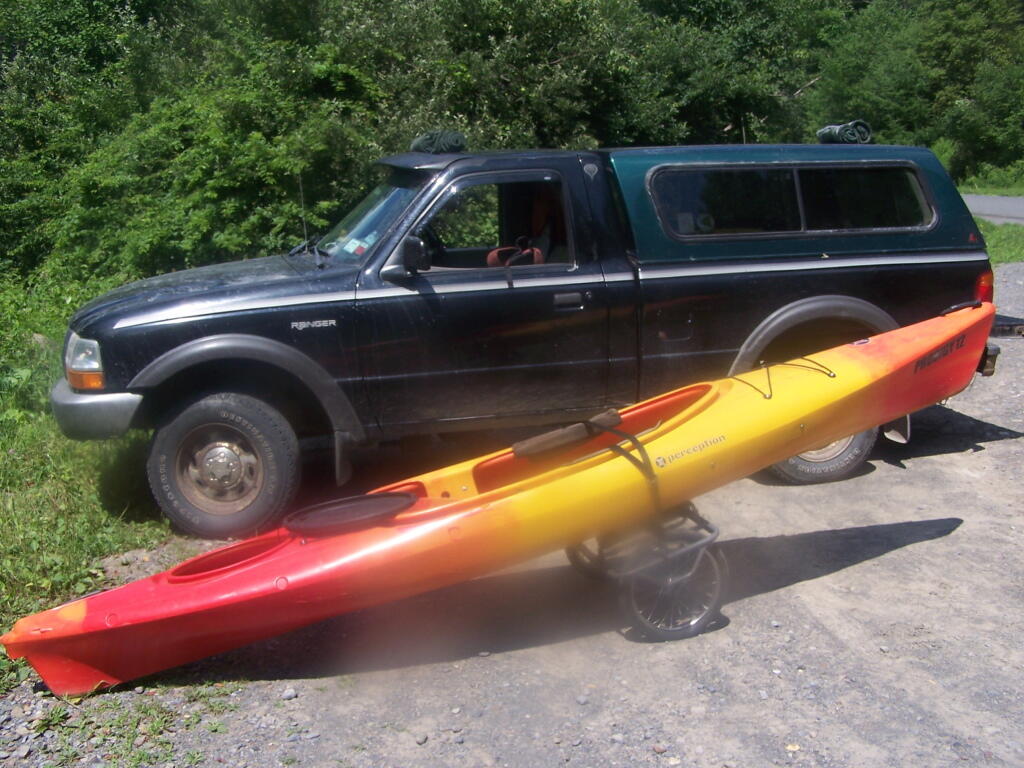
Ropes. These are the ropes and bungee cords I use to secure the kayak on the roof. Seems to work well on the kayak blocks.
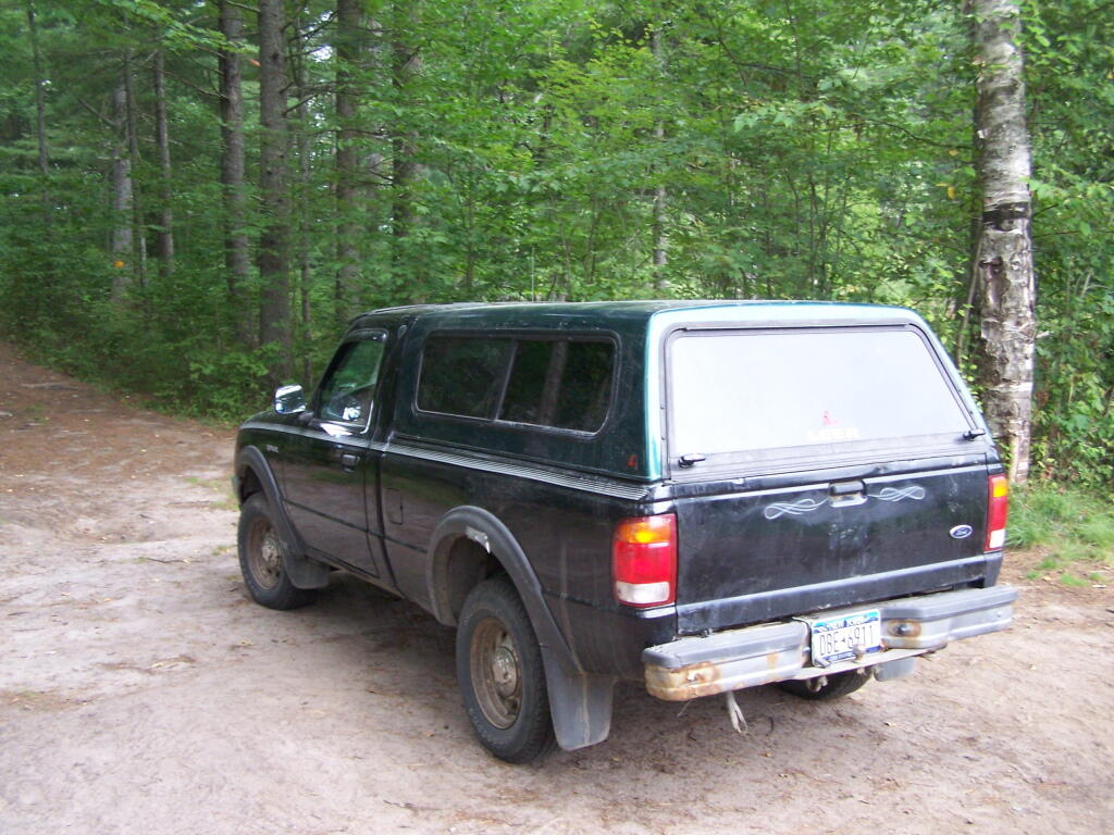
Gear All Packed Up. Now just to get the kayak up on the roof.


![Untitled [Expires December 16 2024]](https://andyarthur.org//data/photo_008174_large.jpg)