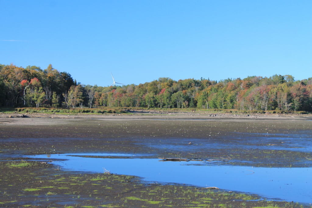
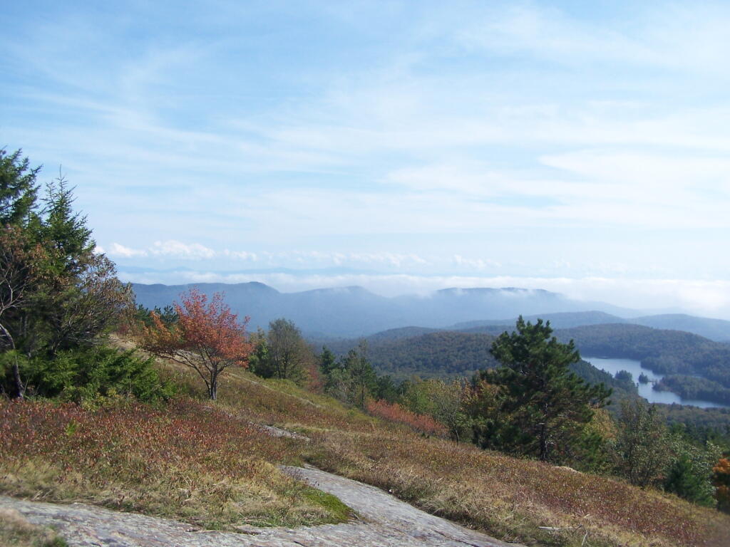
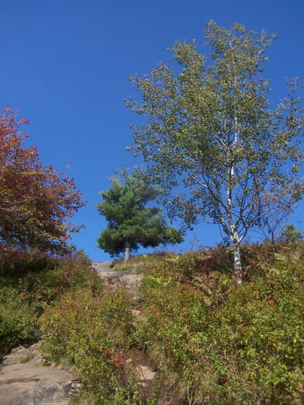
Early settlers were subsistent farmers, relying on the land for the majority of their needs. Evidence of the difficulties associated with clearing the fields can still be seen. The ubiquitous stone walls were built from stones laboriously cleared from fields to make them tillable. Dairy farming was an important activity for the early farmers, with excess milk being shipped to cities in the form of butter. Early crops no longer grown in this area included wheat, tobacco and hops.In 1875, Schoharie County was the fourth largest producer of hops in the State. Hops were said to exhaust soil rapidly and by the late 1800’s, hop production was in rapid decline.
Forests not cleared for farmland were used for many purposes. Potash and charcoal production were two early farm industries that made use of hardwood forests. Potash was used locally and also shipped to Europe. Charcoal was used in blacksmith shops, tin shops and iron foundries located in every town.
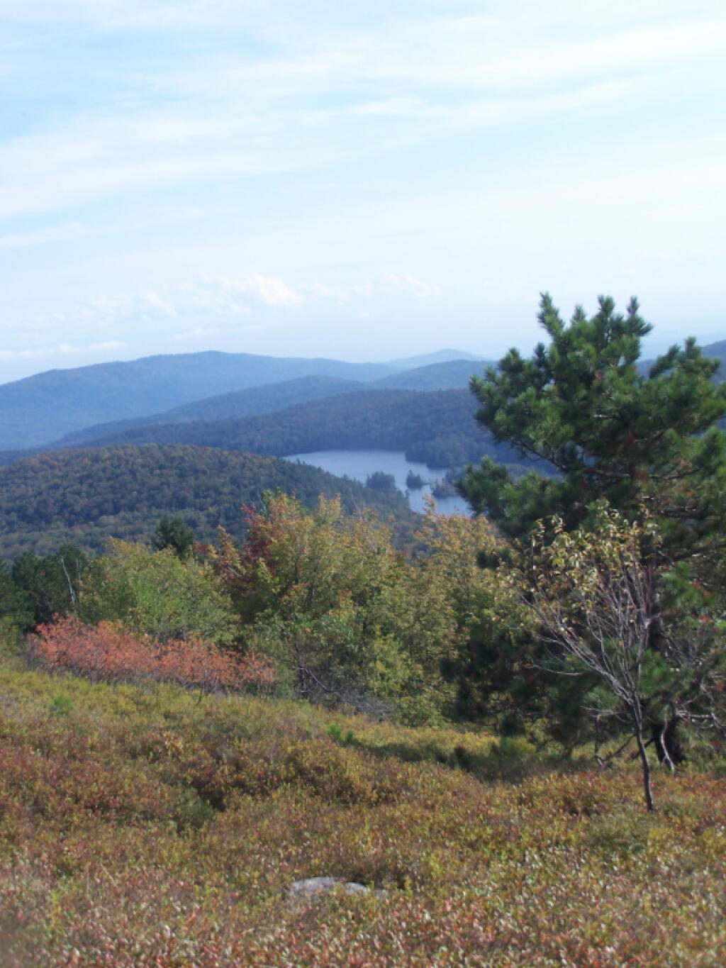
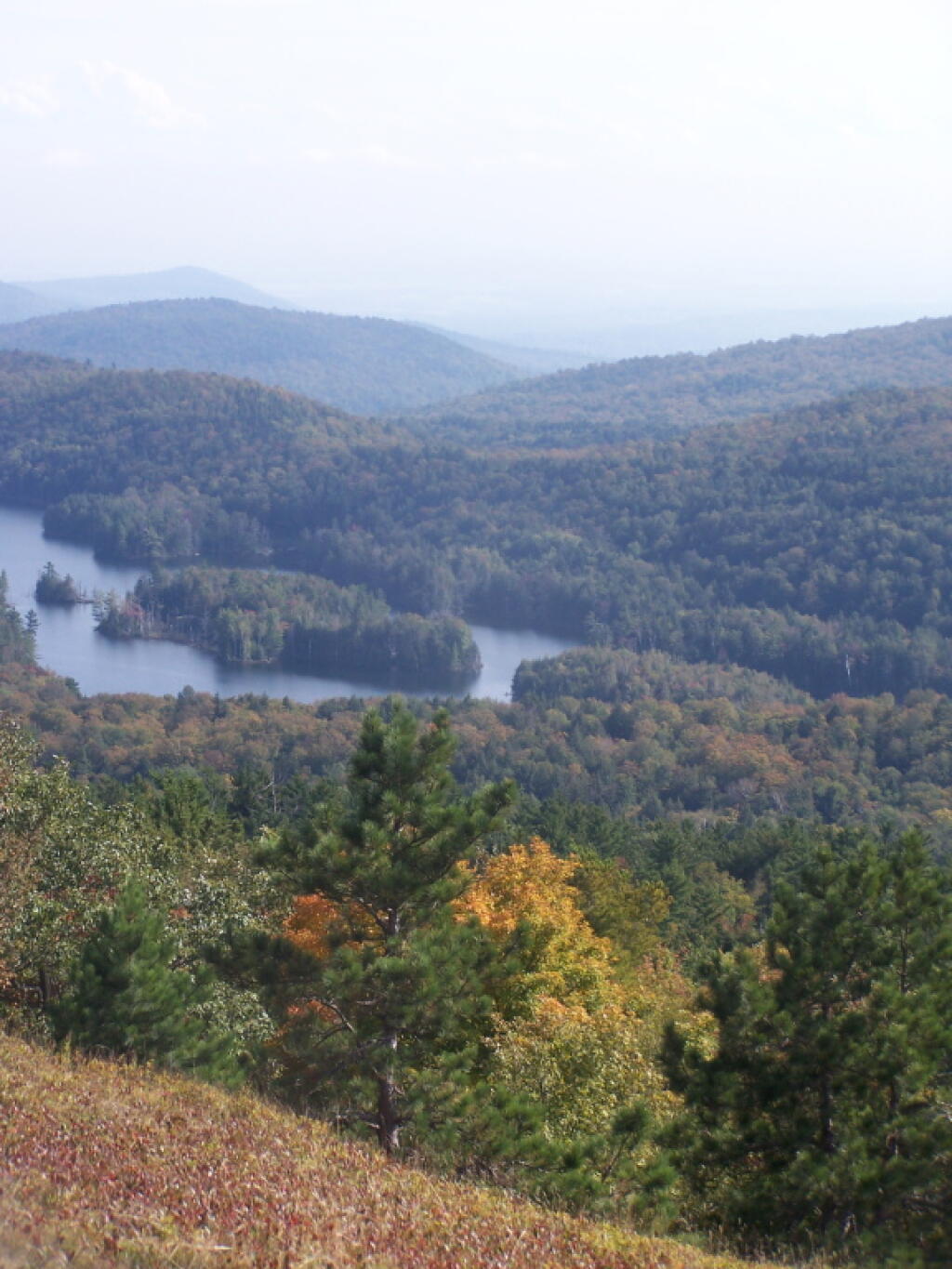
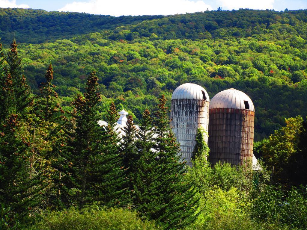
Hemlock was cut for its bark. Tannin extracted from the bark was used in the leather tanning industry. In 1840, there were l4 tanneries in the county. Large tanneries in Gilboa were obtaining bark from the area of the Eminence Management Unit. In addition to its use in the local tanneries, large quantities of tannin were shipped to Europe.
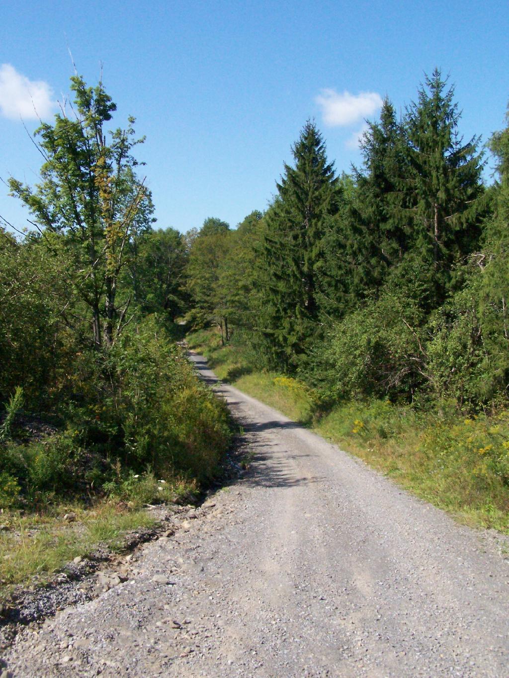
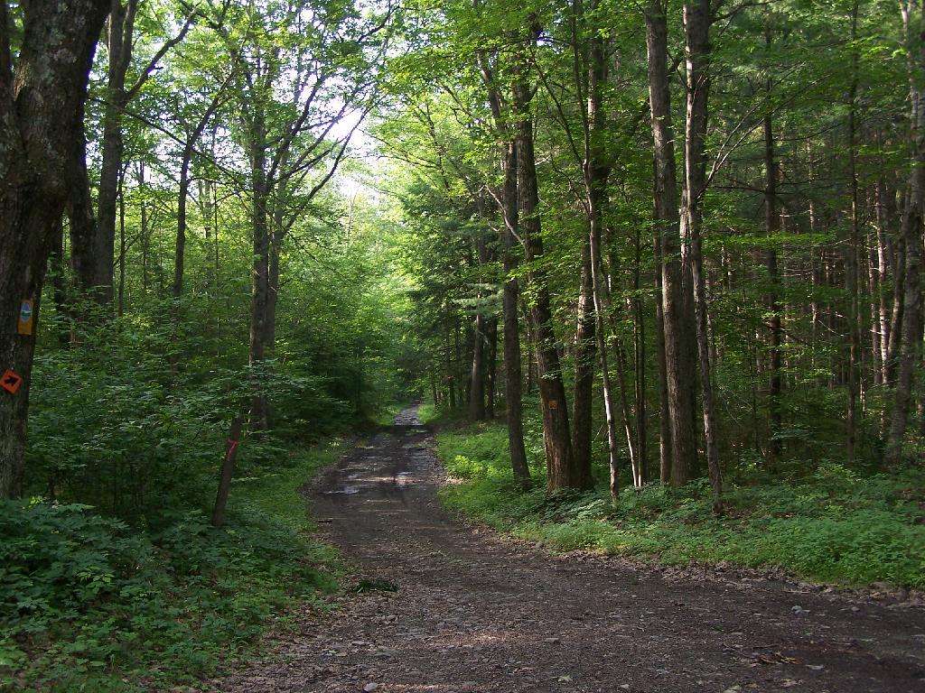
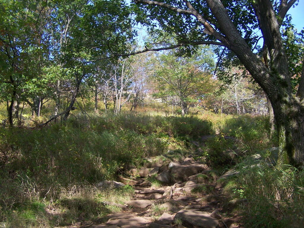
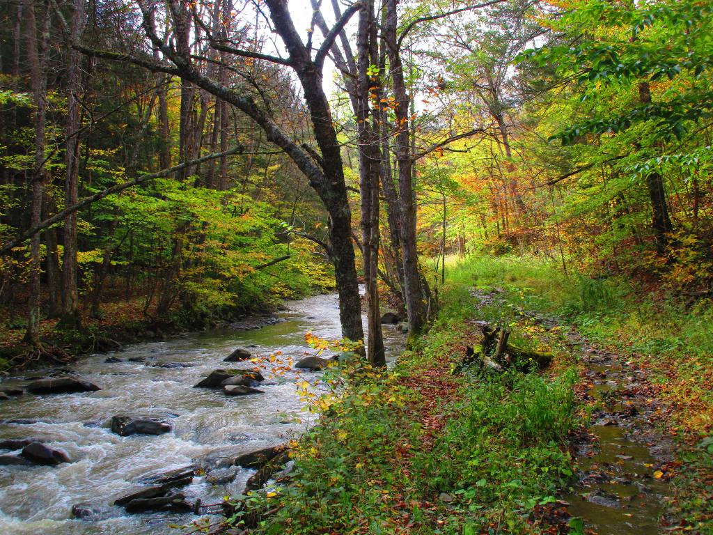
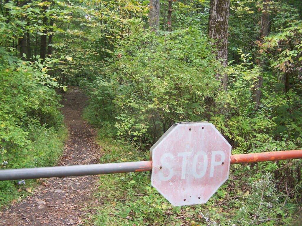
Other wood based industries included sawmills, shingle mills, cooper shops, wood tool factories and a paper mill. There were mills of various types on Betty Brook, West Kill, Panther Creek, Doney Hollow Creek, Mill Creek, and their tributaries. Portions of these streams are located on the Eminence Management Unit. Early settlers, up to the late l800’s, could not own the land they worked.
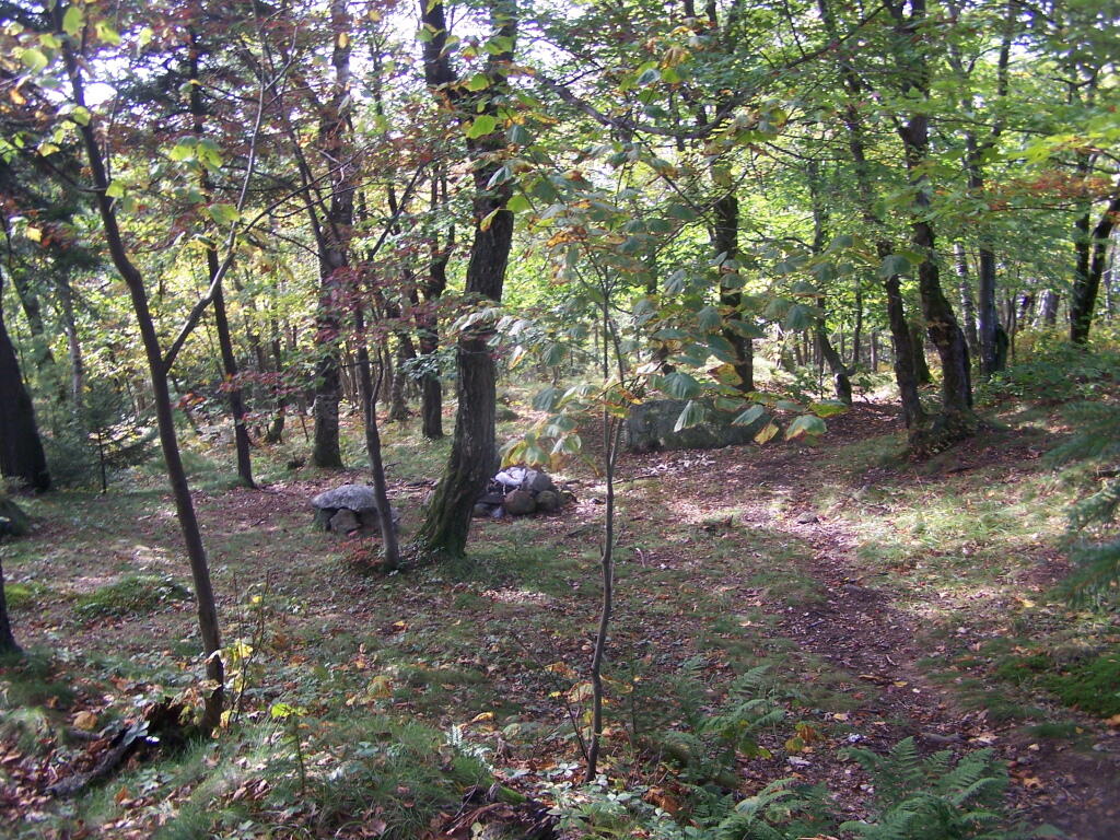
This “Patroon” system probably resulted in heavy cutting of the forests because the renters had little interest in the future of their lands. With the widespread cutting taking place, probably every acre of the present day Eminence Management Unit had been cut by the late 1800’s.
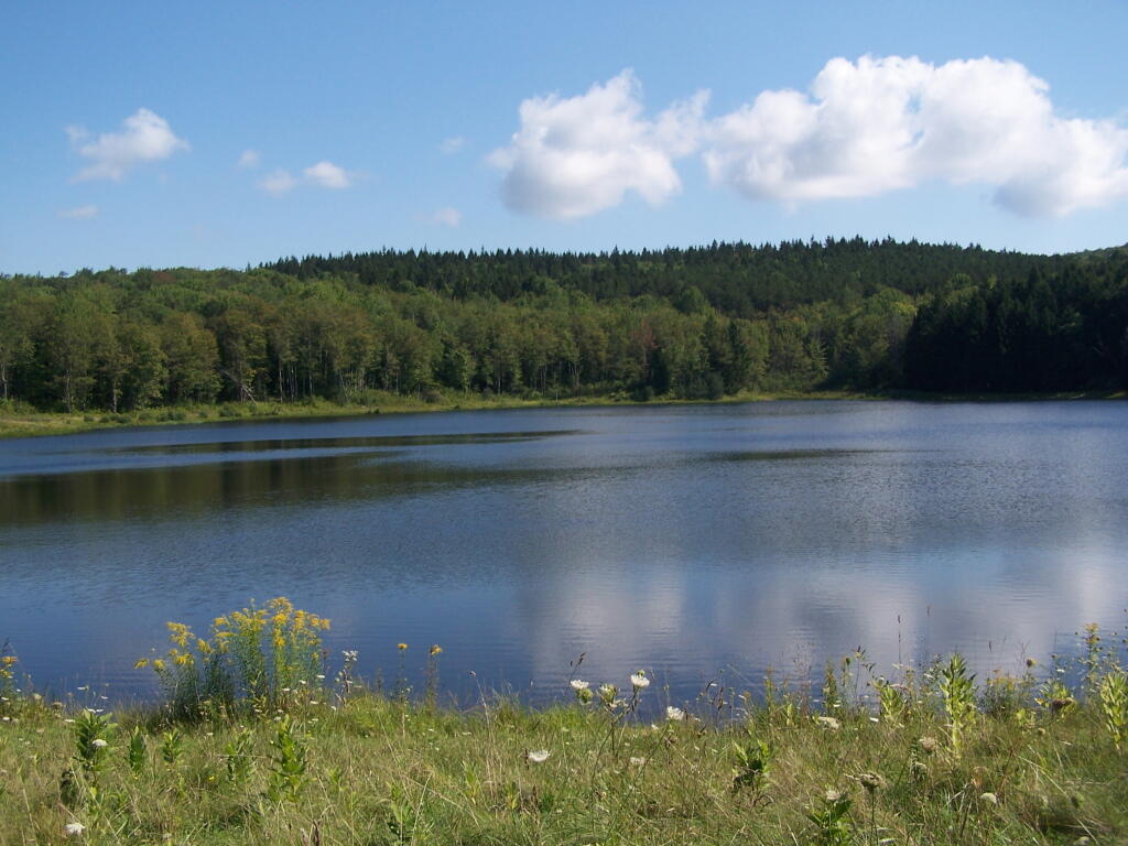
Fish and wildlife populations were also decimated during this period. The wild turkey, beaver,black bear, wolf, eagle, and white-tail deer were all extirpated from Schoharie County in the 19th and early 20th century. Stream habitat for native trout and other fish was also damaged by pollution from industry and agriculture. Fish and game laws which established seasons and size limits were non-existent for most of the 19th century.
From the very beginning, these were only marginal farms. By the mid 1800’s, the poor soils of some of these hill top farms had been exhausted, and farms were being abandoned. By l930, large tracts of farmland had been abandoned.In 1931, under the State Reforestation Law, the State began acquisition of some of these abandoned farmlands. Most of these early purchases were for about $4.00 per acre and by l940, land acquisition in the Eminence Management Unit essentially ended.
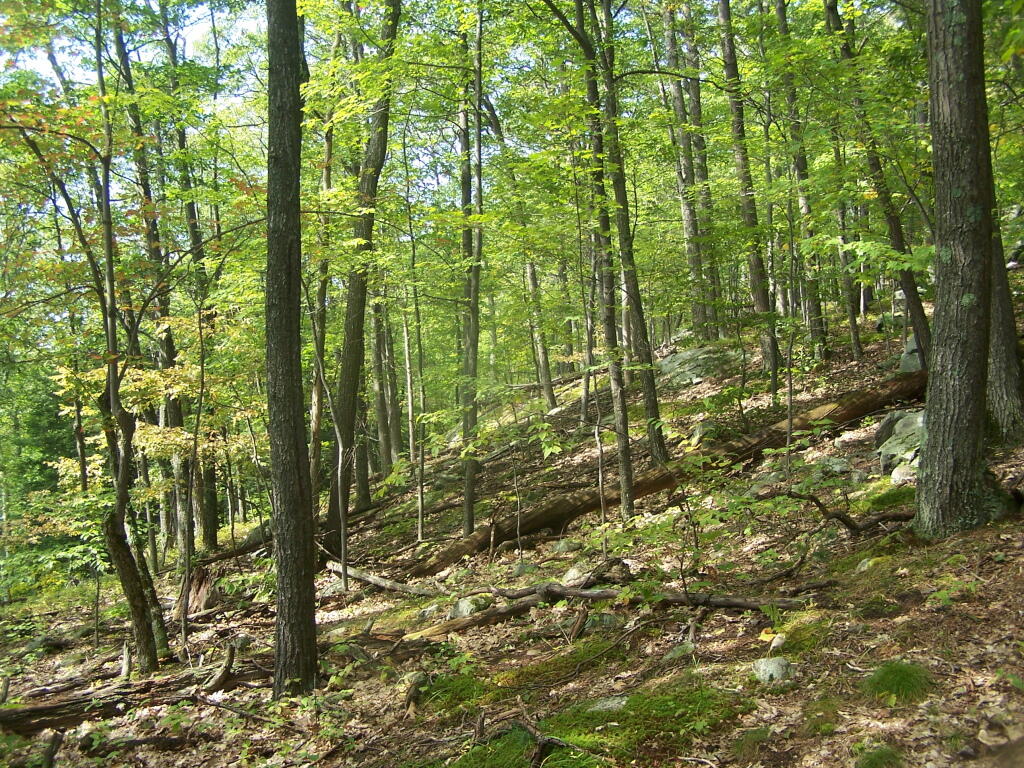
In the Spring of l93l, State crews began planting tree seedlings on the open land. A Civilian Conservation Corps camp was established in 1934 at Boucks Falls and the CCC’s joined State Forest crews planting trees. To date, over 6 million trees have been planted on the Eminence Management Unit. Other early projects included timber stand improvement, stream improvement and protection,construction of truck roads, seed collection for the State tree nursery, forest insect and disease control projects and construction of fencing between State and private lands.
Fire Hazard Reduction (FHR) was another project. FHR included construction of water holes, clearing roadsides of slash, building fire breaks around newly established plantations and slash reduction in heavily cut over natural stands.When the State acquired these lands, the previous owners usually reserved cutting rights. They had up to two years to cut any trees down to a six inch stump diameter. As a result of this logging, and other cutting that took place in the decade before the State acquired the land, there was little timber of any value present. Broken and deformed trees were all that was left in the majority of the forested areas.
There were few sales of forest products until the mid 1950’s because of the poor condition of natural forests and the small size of the planted trees. Significant sales did not begin until the 1970’s. To date, about 2 1/2 million board feet of saw timber, 22,000 cords of firewood and 67,000 cords of pulpwood have been sold for a total revenue to the State of over one million dollars. About two-thirds of this revenue came from the plantations which comprise about one-third of the Eminence Management Unit. In the mid 1980’s, harvesting and replanting of mature red pine stands was begun.
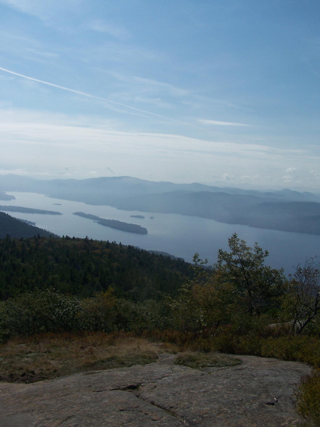
The Department of Correction Youth Camp was constructed around 1960 on State lands in the Town of Fulton near Summit. This recently became the Summit Shock Incarceration Camp. Projects accomplished by inmates on State Forests include forest road maintenance, wildlife habitat improvement, stream improvement, recreational trail construction and maintenance, timber stand improvement, tree planting and cone collection for the State tree nursery.Land acquisitions in the 1960’s through the 1980’s improved access to the Eminence Management Unit, enhanced recreational opportunities, provided additional protection for the streams on the unit and consolidated the unit with the acquisition of interior parcels. Six of the State Forests on this unit now contain over 12,000 acres of contiguous public ownership. This large block of public land will become even more valuable in the future, considering recent trends toward subdividing adjacent private lands.
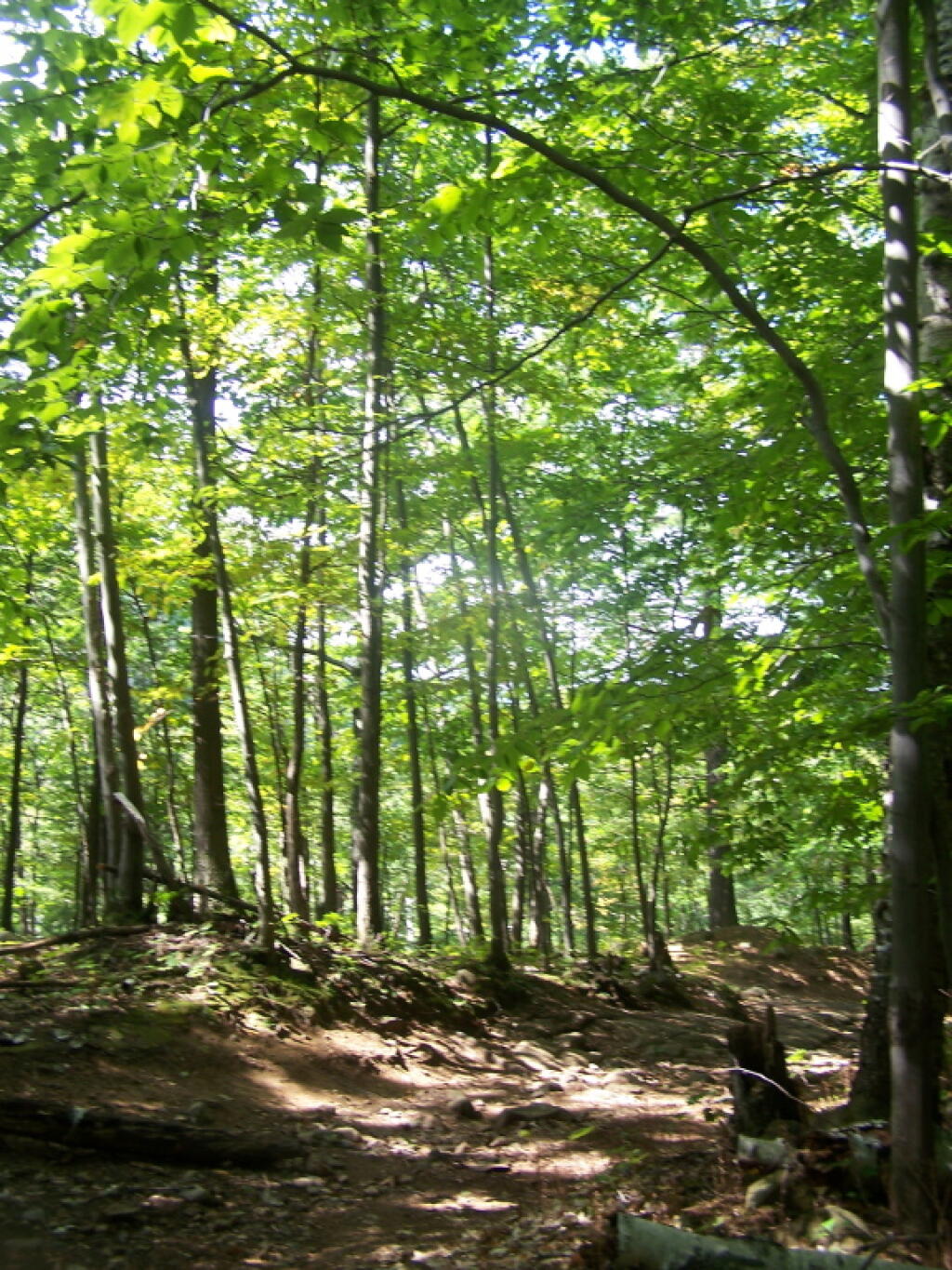
Many of the wildlife species that were once extirpated have returned to the area. Their recovery can be attributed to the restoration of natural habitat and the enforcement of hunting and fishing regulations. Now that fish and game are once again abundant, the state lands have become very popular areas for fishing and hunting pursuits.
A secret of the Adirondack State Land Master Plan is that well over 90% of the lands officially dedicated as Wild Forest are actually forever: wilderness, even though it’s not called that.
4. Public use of motor vehicles will not be encouraged and there will not be anymaterial increase in the mileage of roads and snowmobile trails open to motorized use bythe public in wild forest areas that conformed to the master plan at the time ofits original adoption in 1972.
That language basically makes it clear that no new roads or truck trails will be created in Adirondack Forest Preserve. Therefore, except for a handful existing roads, the vast majority of lands of Adirondack Forest Preserve will forever remain free of motor vehicles and snowmobiles (in winter). The milage of snowmobile trails and truck trails will only decline in coming years, strictly fitting into defination of “wild forest”.
The lands of the state, now owned or hereafter acquired, constituting the forest preserve as now fixed by law, shall be forever kept as wild forest lands. They shall not be leased, sold or exchanged, or be taken by any corporation, public or private, nor shall the timber thereon be sold, removed or destroyed.
Therefore per the consitution, no timber may be removed or destroyed in the forest preserve, which means the consitution explicitly prohibits any new road from being constructed in the forest preserve, except where an existing road exists. You can’t build a new road through the forest without cutting timber.
The only constraint from designating all of Adirondack Wild Forest as wilderness, is some of the parcels are smaller, and there a minimal roads going to campsites, lakes, destinations, and private lands throughout the park, mostly low-speed forest preserve roads, with minimal use.
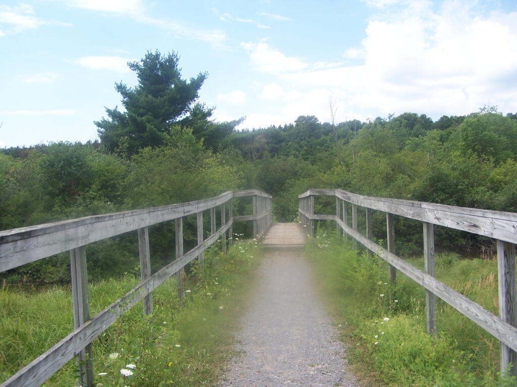
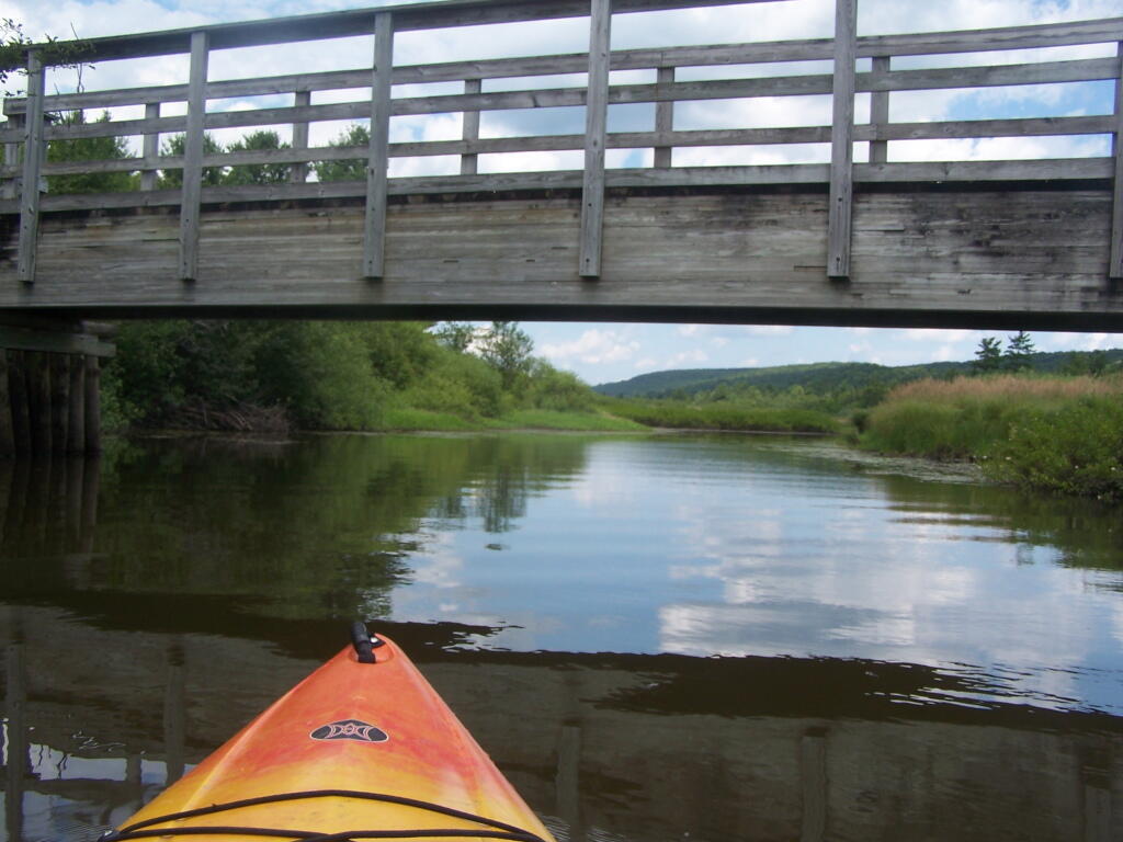
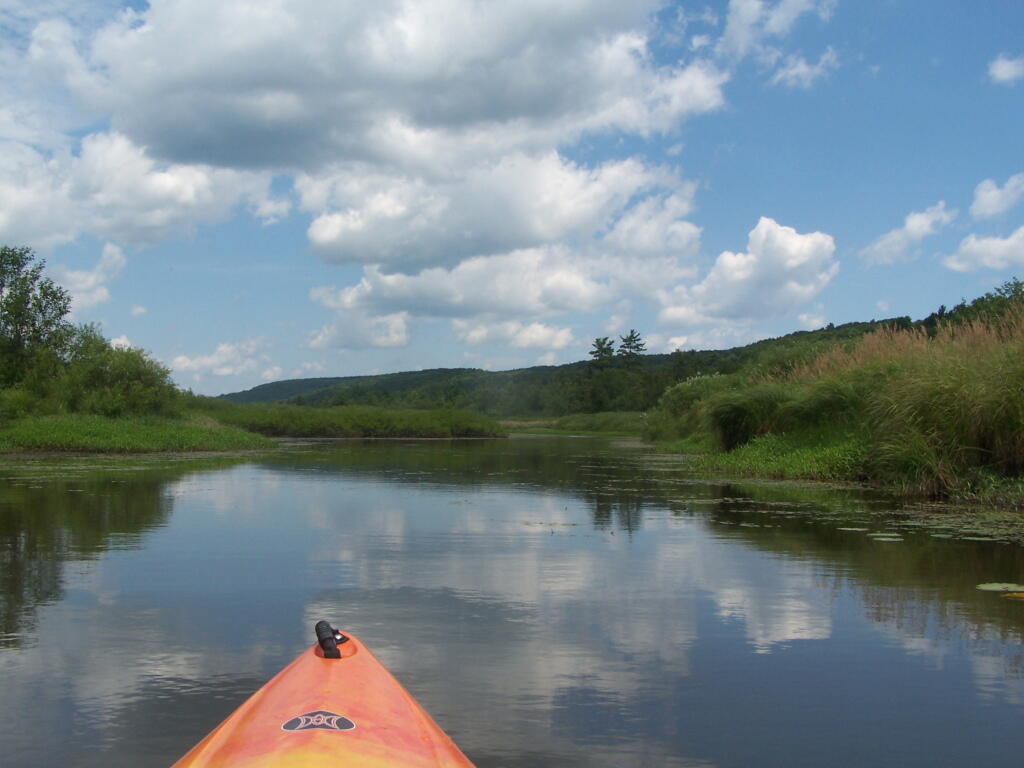
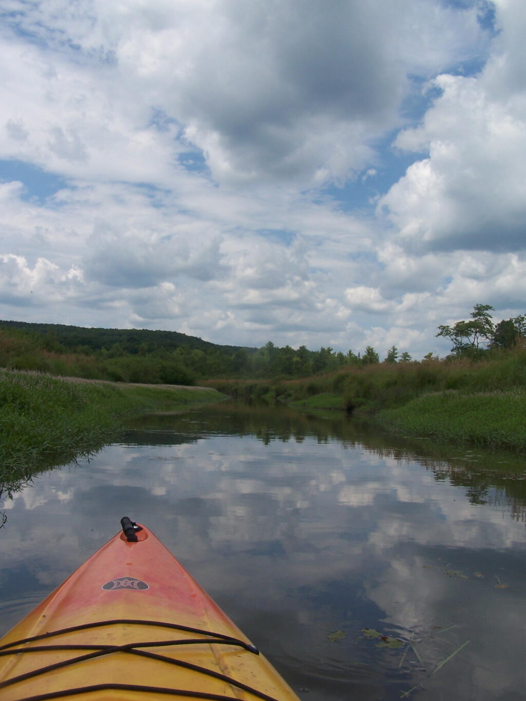
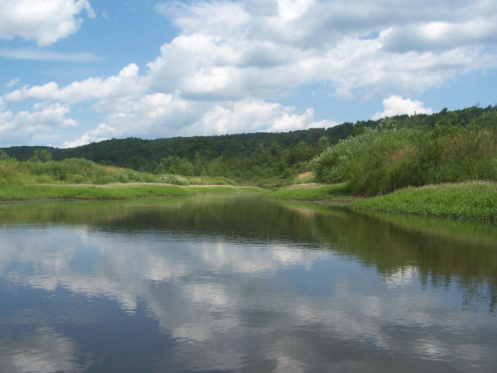
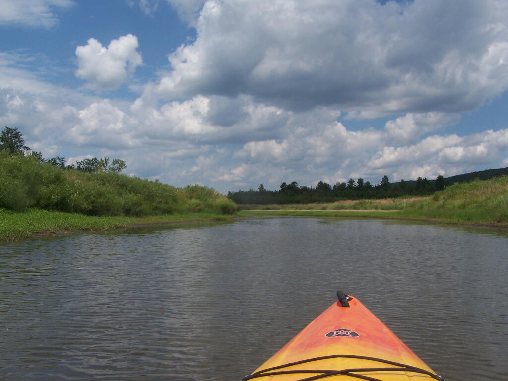
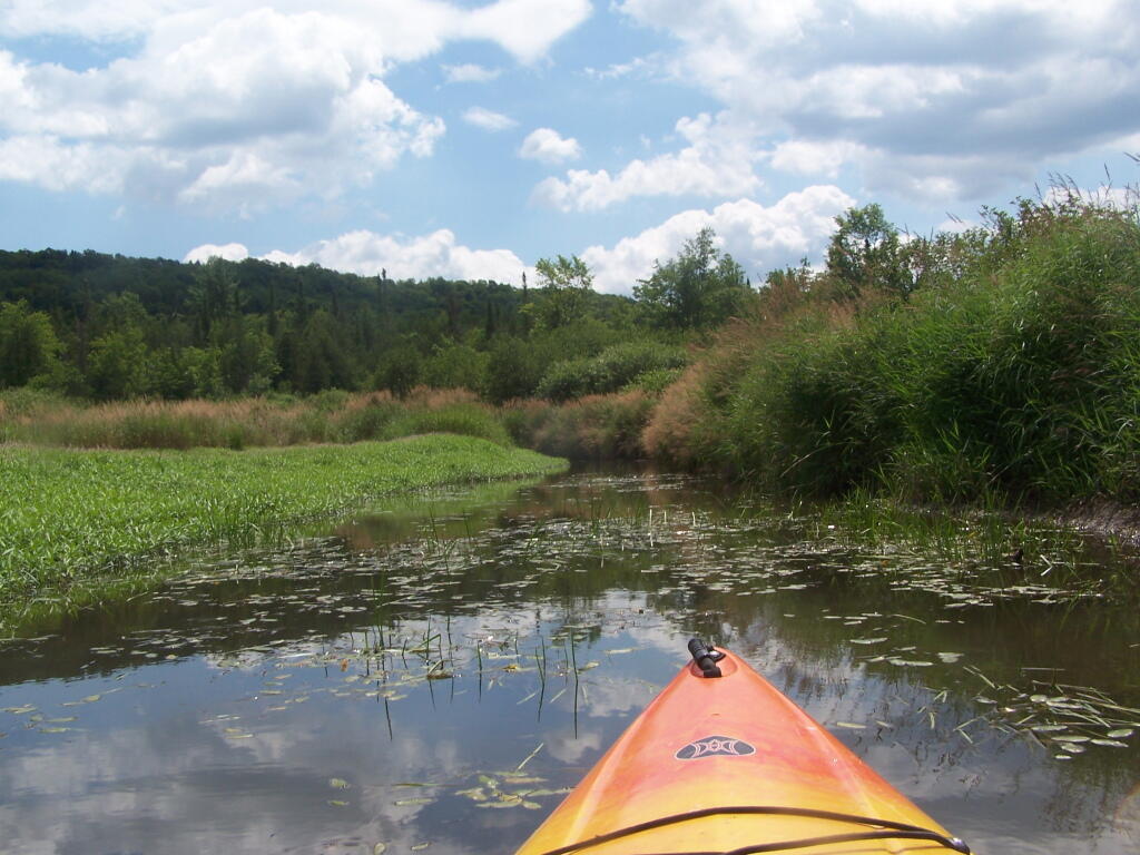
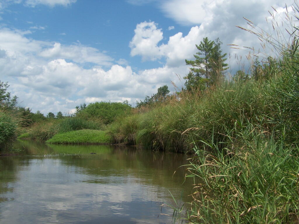
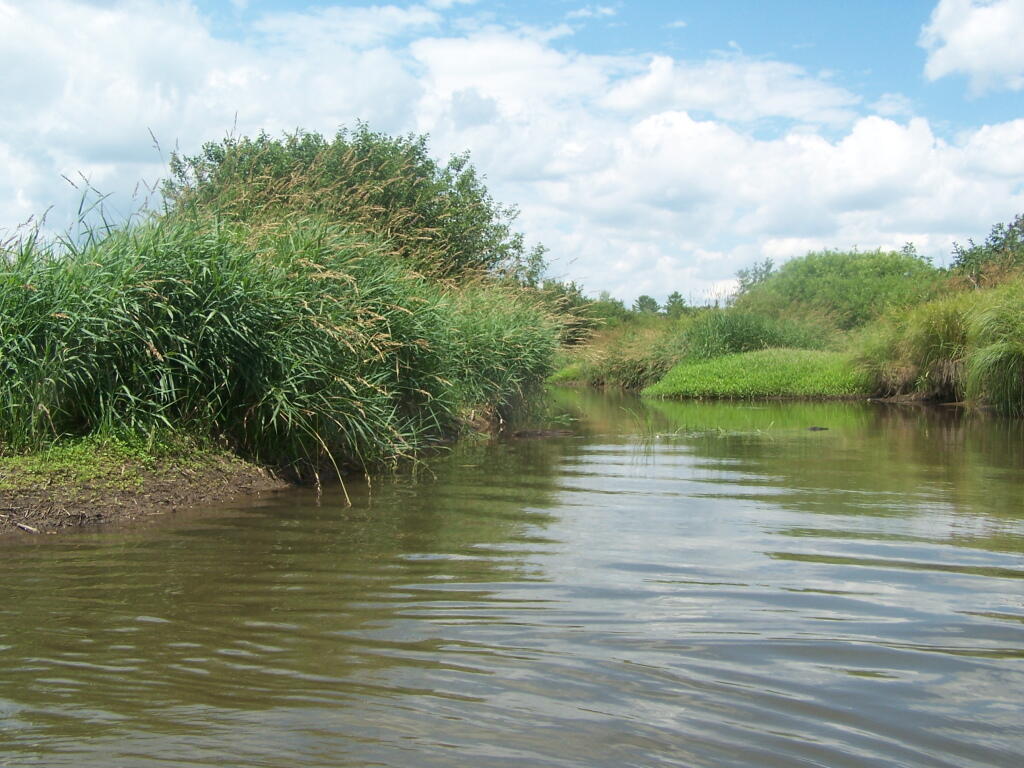
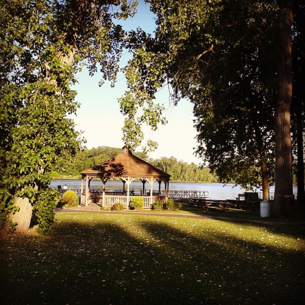
Where is a quiet place to kayak near Cedar Ridge and the Brookfield Horse Camp? Have you ever thought about kayaking the Beaver Creek, from Horse Trail 60 north until the end of the navigable waters?
You take Fairgrounds Road north from Brookfield NY, until a first parking area on the left of the road. This is Horse Trail 60. It’s a short portage (1/8 mile) until you reach the bridge crossing the Beaver Creek.
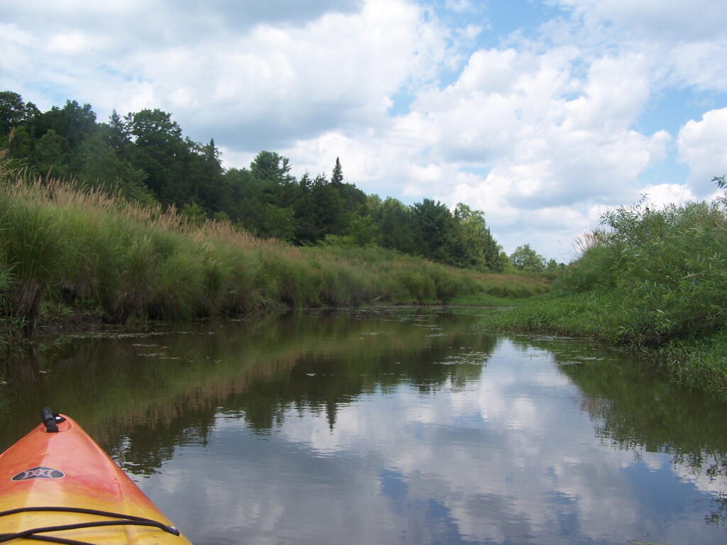
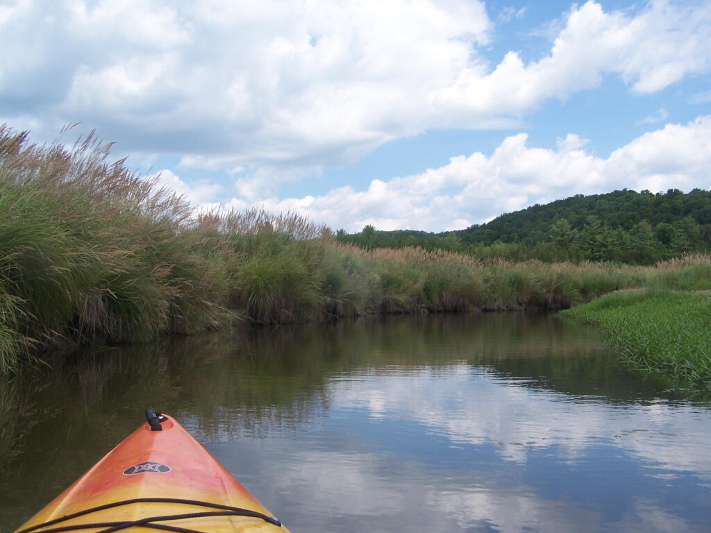
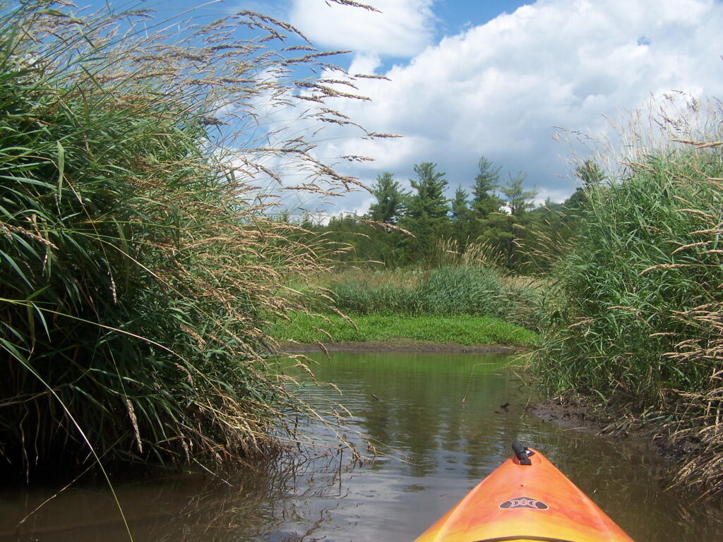
Put in the on the side of this bridge. I did from the east side, through the marshy ground, but you could portage over the horse bridge, then put on the west side, and avoid the marshy ground.
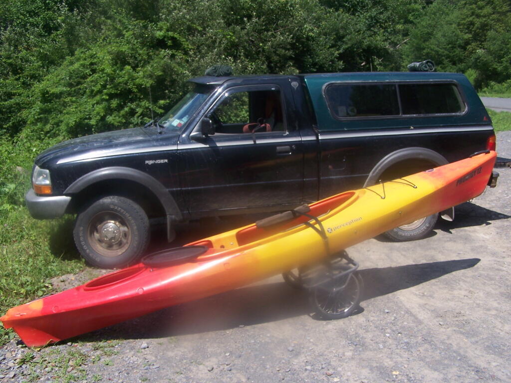
Having a good set of wheels means you won’t have to carry your kayak, but make sure not to drag it on the gravel to avoid wearing holes in your kayak, as I learned earlier this summer.
This is a delightful little trip. Do drive the Charles Baker Auto tour, or hike some of the many trails in the area…
Over the years I have spent a lot of time camping in the Catskills and Adirondacks. I sometimes go out to Finger Lakes or Central NY, or drive down to Pennsylvania to the Tioga State Forest or Allegheny National Forest. Yet, except for one trip in 2004 and in 2008, I have not spent much time at all in Green Mountains.
I have my reasons for not going to the Green Mountains National Forest. For one, the drive from Albany to Bennington Vermont, is a punishing and awful drive, especially prior to the construction of the Bennington bypass. Hoosic Street in Troy is an awful during most hours of the day, and there is few alternatives for one wanting to get from Albany to Bennington. NY 7 is always congested and loaded with poky speed traps.
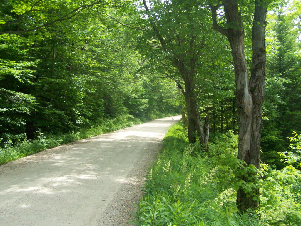
Yet, besides the driving difficulties, there is a lot in Green Mountains. They are not the Adirondacks, but you get back off of Kelley Stand Road, get to some of the many ponds and waterways, mountains, and other wild lands, one must wonder why one hasn’t spent more time here. It’s only 50 miles from Albany to the entrance way of Green Mountain Forest, and there are many wonderful free campsites. It’s pretty wild back here, but still that drive is awful.
I don’t know. I should use my cartography skills and try to find alternative routes to Green Mountains. Maybe take the Northway North and cut over, well North of Troy. Or go through a more southernly route. Yet, at any rate, as an alternative to Adirondacks or Catskills, and is out of State, the Green Mountains National Forest seems like a great place to visit.
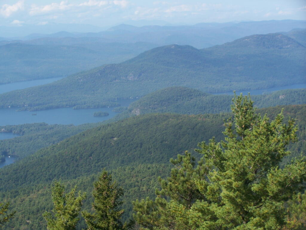
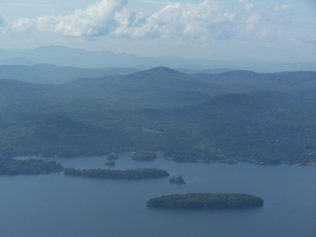
Recently, the Adirondack Park Agency adopted several changes to Moose River Plains Wild Forest in the master map of the Adirondack Park. One of the biggest changes was to convert an area around Moose River Plains Road and Red River Road into an “Intensive Use Area” known as the “Moose River Plains Camping Area” (MRPCA), to allow campsites to remain that are within 1/4 mile of each other, which otherwise would violate the Adirondack Park Land State Master Plan (APLSMP) for Wild Forest.
“The proposed MRPCA will look very similar to the existing roadside uses in the MRPWF. The sole purpose for proposing the creation of the MRPCA is to allow roadside camping in higher density than can be allowed under wild forest guidelines. Although the APSLMP will recognize this newly created intensive use area as a campground by definition, the overall management goals include protecting the wild character of both the MRPCA and the MRPWF. The Department intends to manage this area in a manner that is much more reflective of wild forest guidelines, with the exception of the camp site separation distance guideline. The management responsibilities for the MRPCA will remain with the Division of Lands and Forests and will be regulated under those parts of NYCRR 6 Part 190 that are applicable to the adjoining wild forest lands. Due to the close relationship between the MRPWF and the MRPCA any future revisions to either UMP will require an assessment of potential impacts on both units and possibly a revision to both UMPs.”
“Unlike other intensive use area campgrounds in the Park, amenities such as bath houses, playgrounds, and paved drives are not ever going to be considered for the MRPCA. What is envisioned for the MRPCA is up to 150 roadside campsites along approximately 20 miles of roads through the MRPWF. These sites will have fire rings,pit privies and picnic tables as their only amenities. Some of these sites are relatively close to the road, while others are several hundred feet back and are accessed by short driveways. A majority of these sites will be comprised of existing sites, some fairly well separated from other sites and some clustered in small groups. This provides for a variety of camping opportunities depending on what users are seeking. Existing sites that are very close to the road may be relocated to a location that provides better screening or may be converted to parking areas with a walk‐in site located a short distance from the parking area. Any newly constructed sites will be located in a manner to provide vegetative screening between the site and the road.”
The confusing part of this comes into the fact these lands will be considered “Intensive Use”, which is essentially a symonym for “DEC Campground” in APLSMP. While few people read APLSMP, many people buy maps and go onto websites to figure out where they are going to camp.
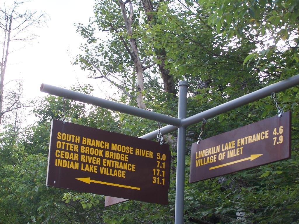
Map makers, especially those not from the Adirondacks will likely fail to distinguish between the Moose River Plains Camping Area, and a more developed campground like that of DEC Campground Limekiln Lake, DEC Campground Eight Lake, or DEC Campground Indian Lake. Indeed, this what concerns the DEC in the MRPCA plan:
“Although use levels within the current MRPWF have been fairly stable for the past several years, the creation of a new area, even if only by name, may initially result in an increase in camping use of the area.”
“The creation of the MRPCA will create some challenges in educating the public as to what to expect within the area. As the area will not charge fees, nor will reservations be taken, users will be arriving at the area without the benefit of knowing what site they may be camping at. Users will need to drive through the area and locate a site that is suitable for their needs. In the unlikely case that no sites are available, users will need to be educated as to what alternatives exist in the general area. Providing information at the two entrance points, Cedar RiverFlow and Limekiln Lake, will be an important part of informing users of the type of opportunity available in the MRPCA. It will also provide an opportunity to provide information on alternative locations should the MRPCA not meet their expectations. Additional information will be made available on the Department’s website and inthe revised unit brochure for the MRPWF.”
If these changes make it to the DEC website it would be helpful…
Yet, we know the DEC often does not put important information on it’s website, and indeed it seems likely the Division of Operations which operates the Limekiln, Eight Lake, and Indian Lake Campgrounds would fight to avoid including a “free” camping area that could directly compete with their $25 a night sites, that offer only minimally nicer ammenities such as centralized trash dumpsters, flush toilets, and showers. Moose River Plains, if promoted by Division of Lands and Forest could canabalize the business of these other campsites.
People will be in for a surpise if they come up here, looking for an established campground. Roadside campsites are spread out over 20 miles, people are often 30 miles from the nearest gas station. The roads are rough, they can be challenging in places to travel with a car. Without regular patrols and surrounded by vast Wild Forest and Wilderness on four sides, the possibility of people getting lost grows. Already, people get lost up here, but with additional promotion through the name change — and the attraction to those unfamiliar with the Adirondack tradition of roadside camping, it’s only asking for trouble.
The changes to the Moose River Wild Forest may be needed to keep the majority of the camping sites open and compatible with the APSLMP, but it seems as though converting Moose River Plains Road to Intensive Use, and indicating it on maps as such, only will lead to more confusion.
The state should instead admend the Adirondack Park Master Plan:
Make existing “road-side” legacy campsites less then 1/4 mile separation legal.
Require only new campsites that are developed to have the 1/4 mile separation.