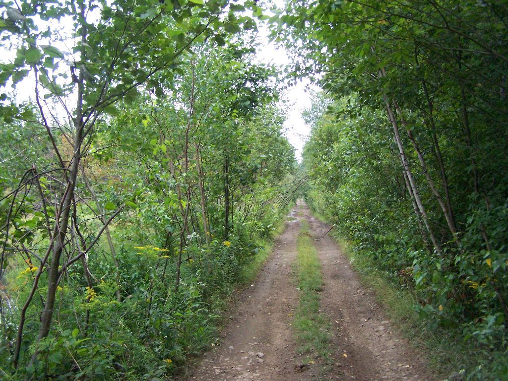
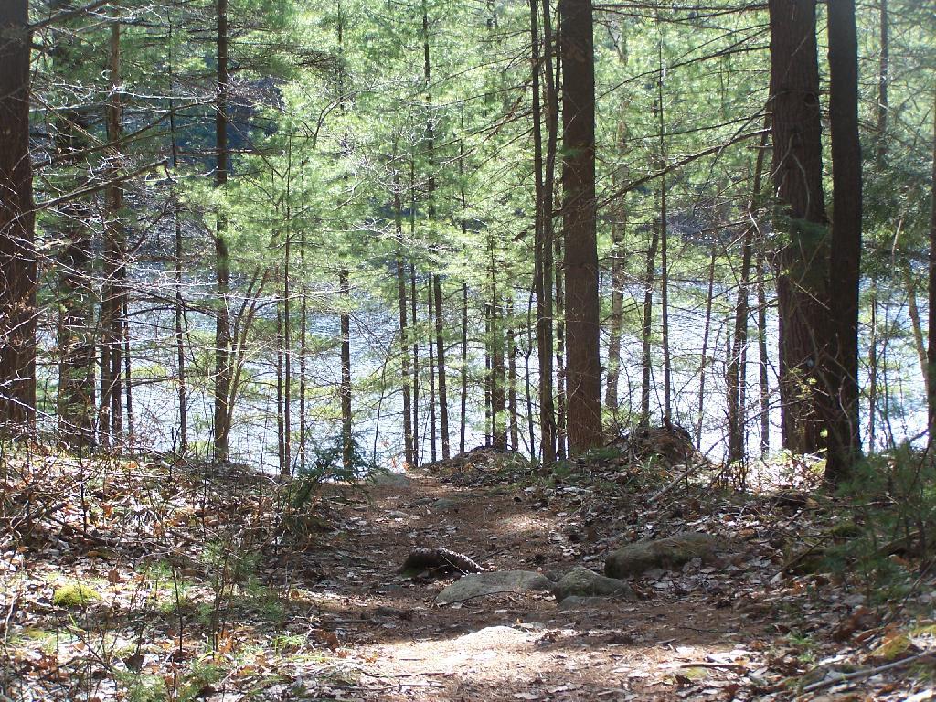
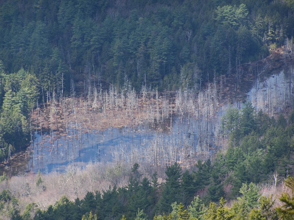
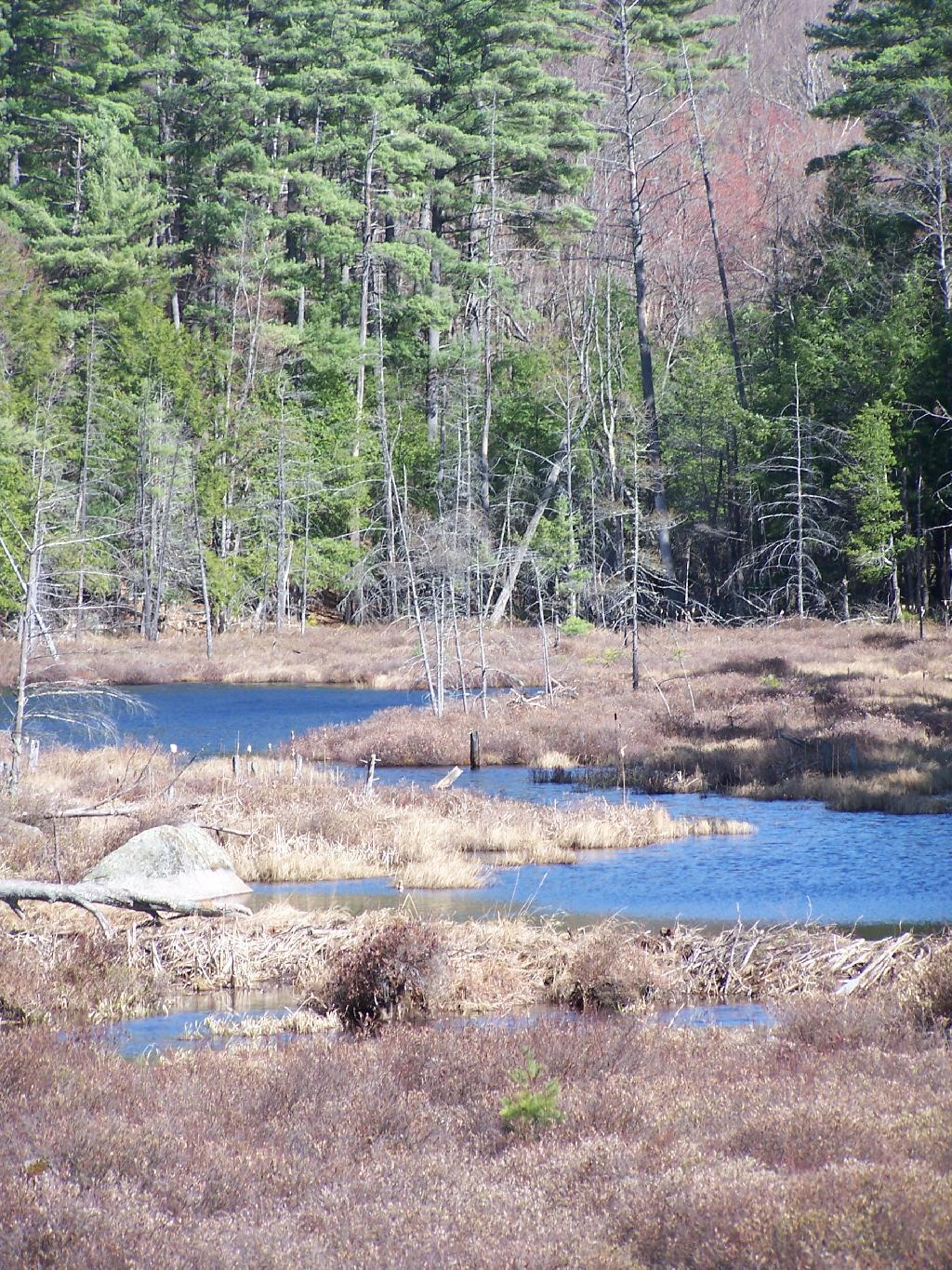
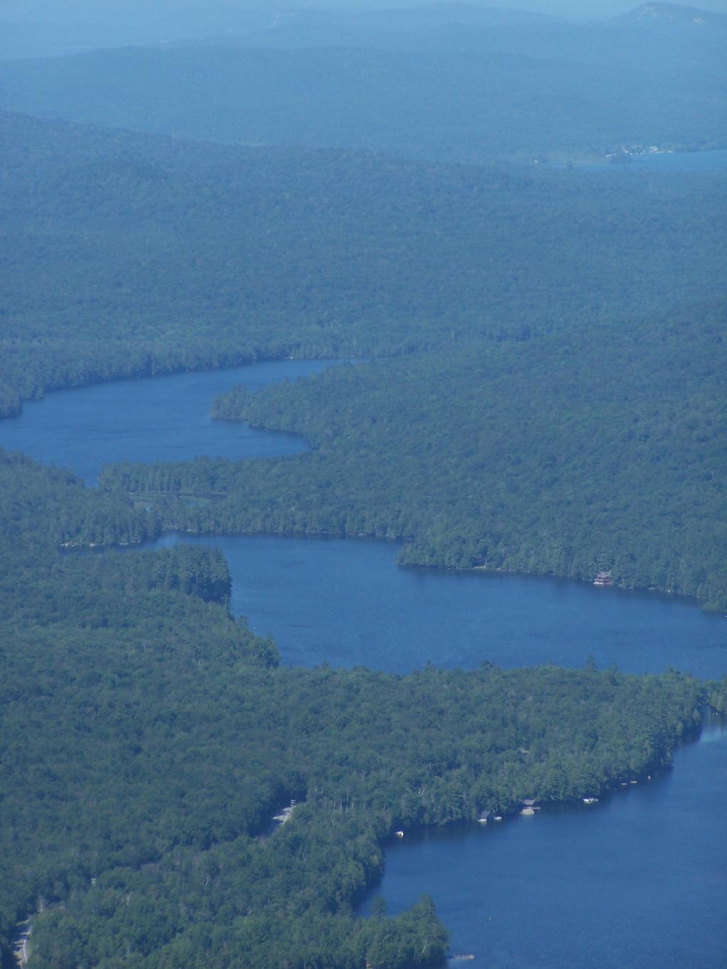
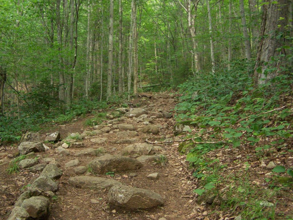
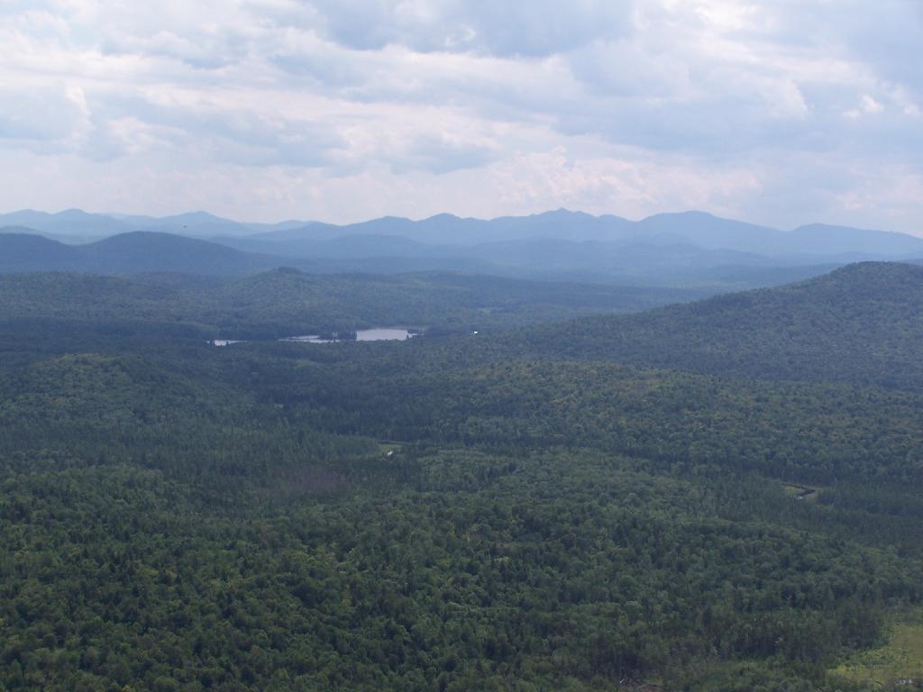
In south-western Franklin County there is a state forest with approximently 12,00 acres of land, and almost 12 miles of truck trail. Most of it is wooded and moderately hilly, with acres of swamps and rivers, with substainal access via truck trail.
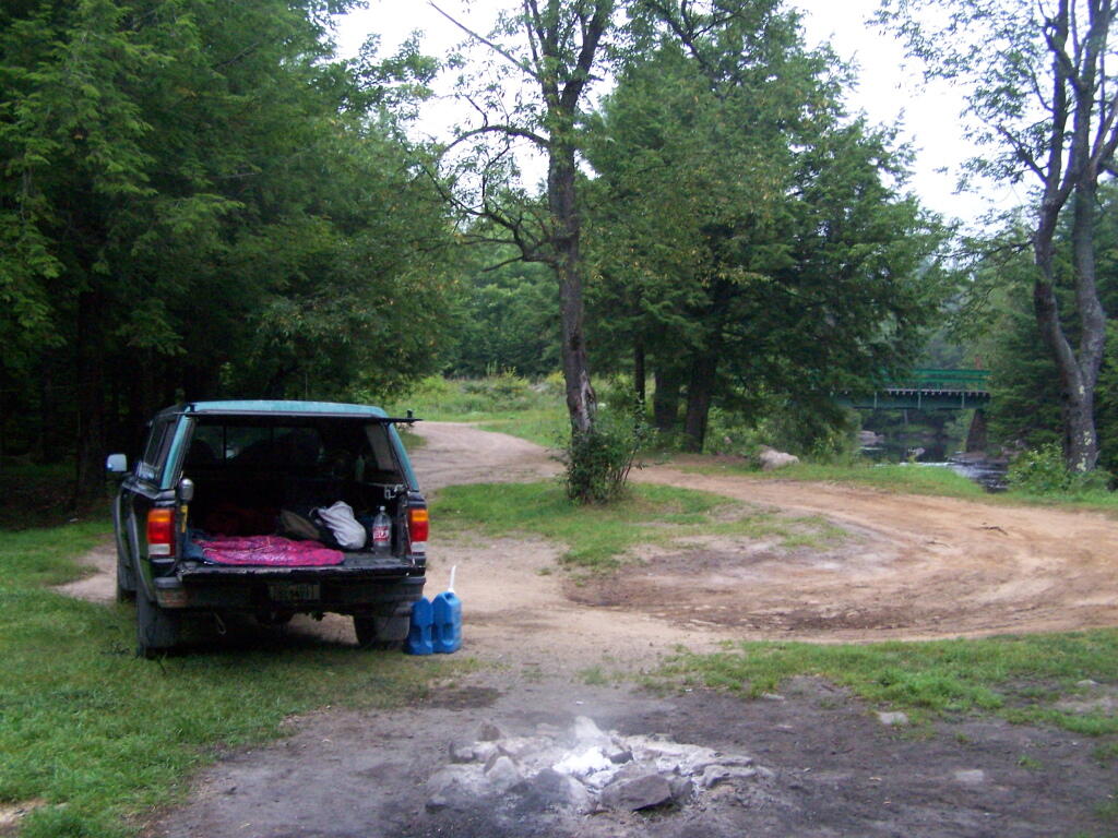
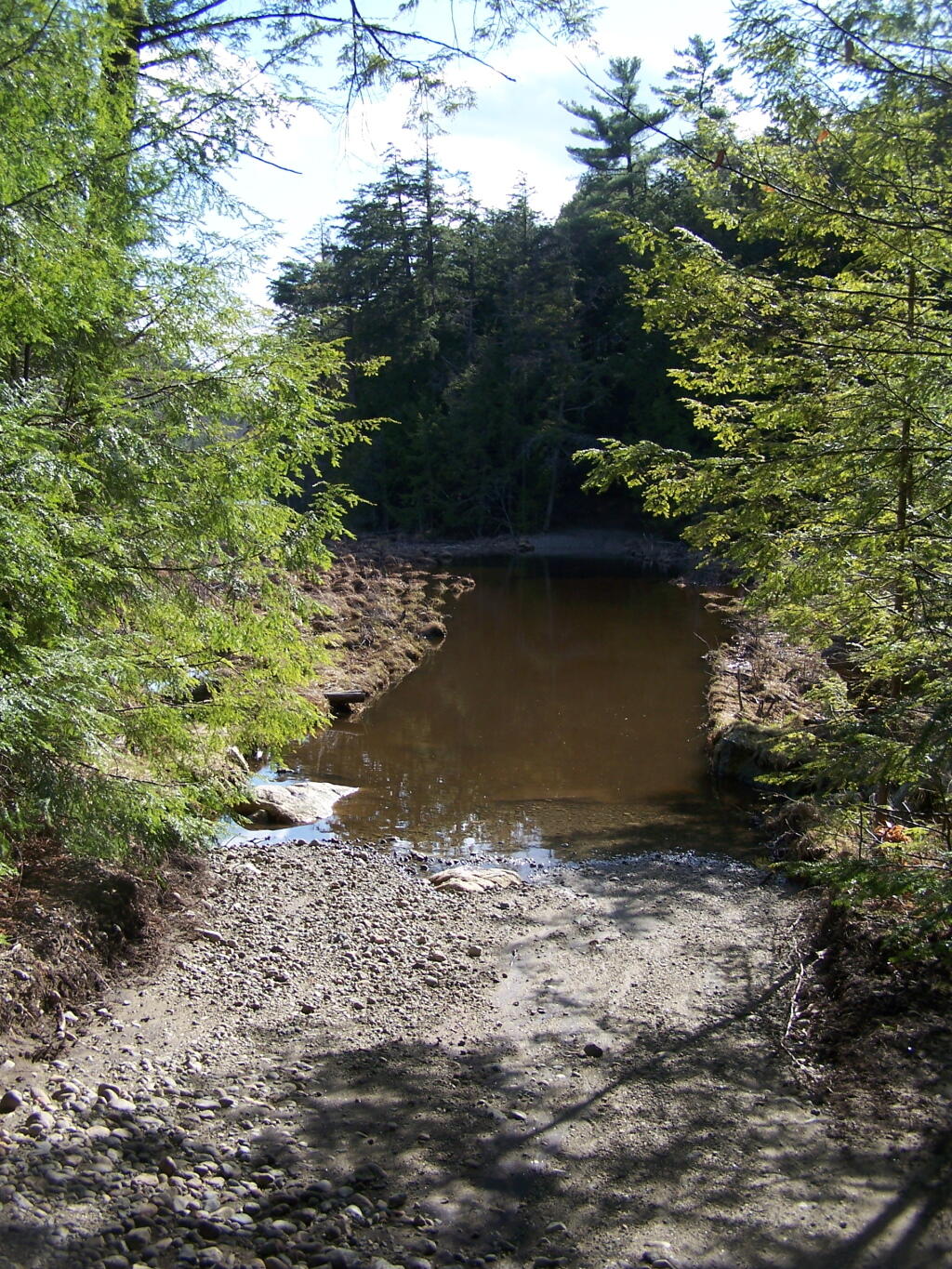
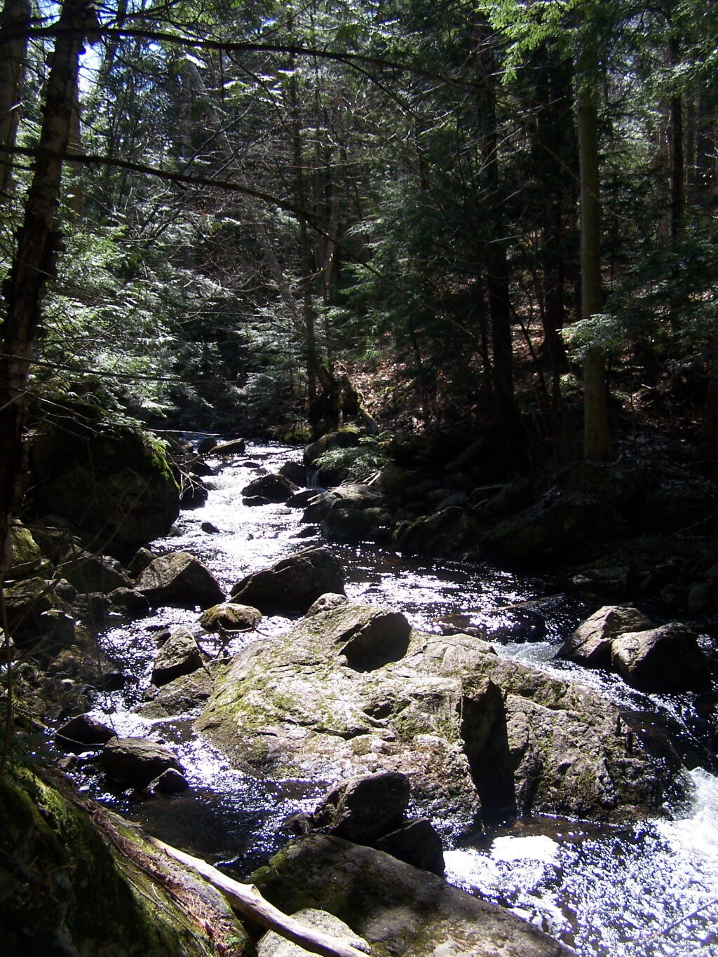
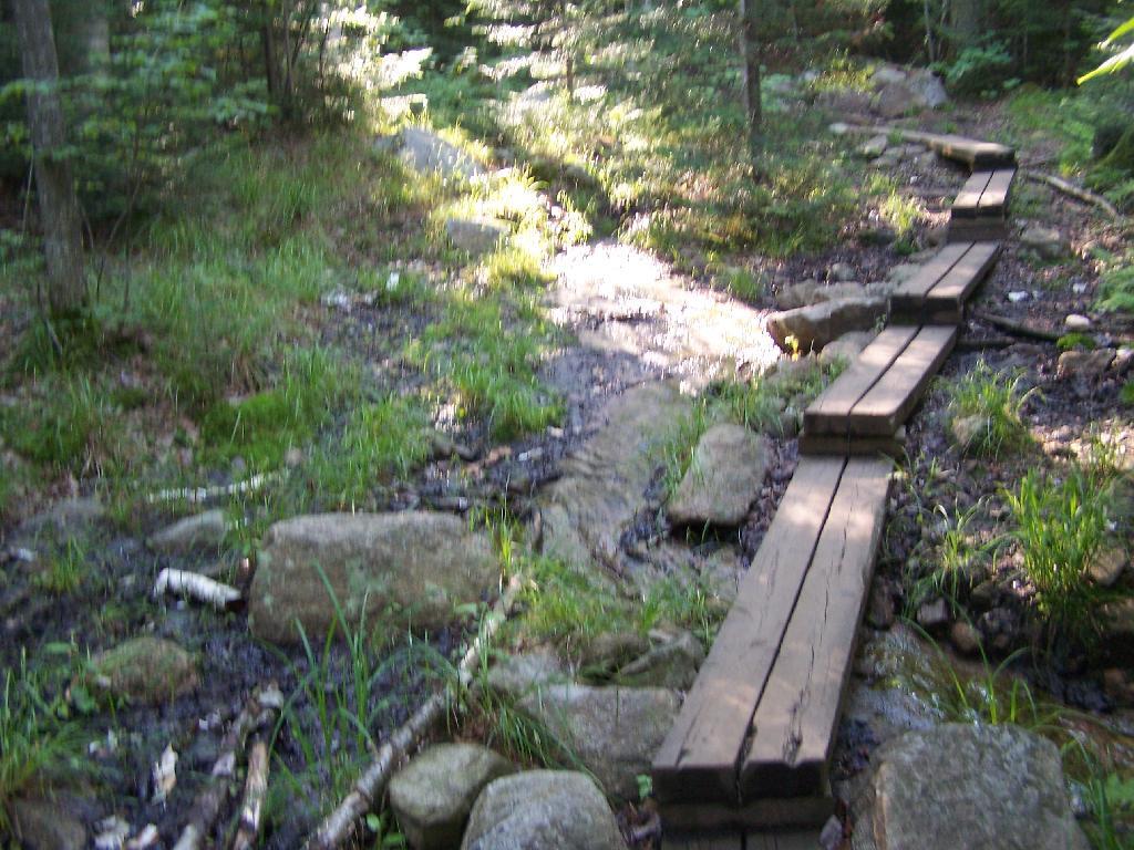
There are three campsites along Conservation Road, with one at Iron Bridge on the Deer River. This is a popular site, one with limited nearby firewood. You probably could drive to another portion of the forest, chop up some wood, and drive back so you have enough for camping.
Name
Latitude
Longitude
Avery Lot Site
44.7352235914112
-74.4550802614741
Conservation Road Primitive Campsite
44.7265204084443
-74.4838001692901
Foot Bridge Site
44.731452233788
-74.5090540850248
Horse Assembly Area (Two Sites)
44.7507488855137
-74.5131752114971
Iron Bridge Site
44.7190820582264
-74.4799989894277
Larch Site
44.730415232034
-74.5048391659423
Number 7
44.7335461250466
-74.5028504711799
Site 10
44.7315799764063
-74.5021705324054
Site 6
44.7271320391316
-74.4853763854447
Site 8
44.7297640340073
-74.4938030505511
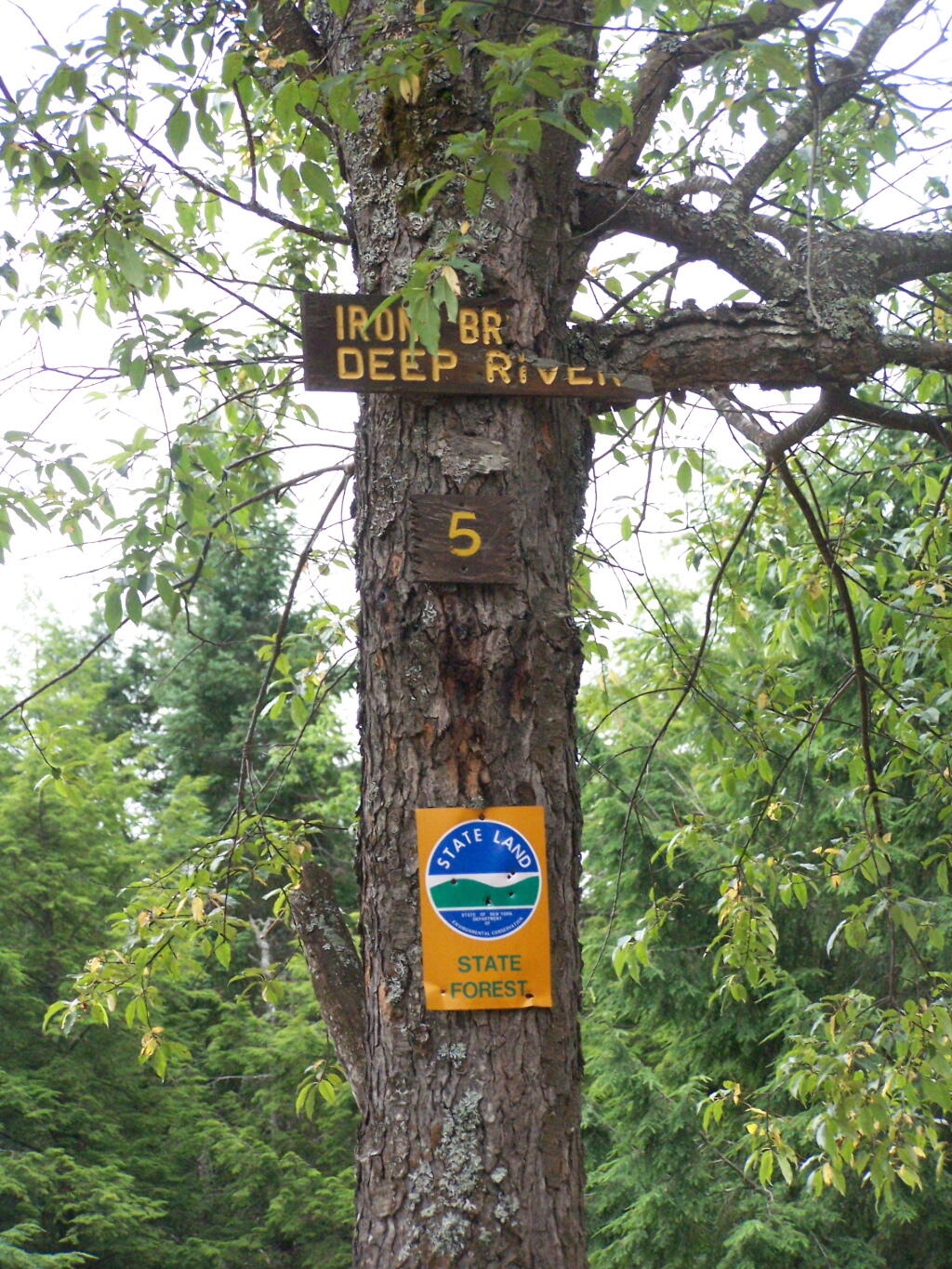
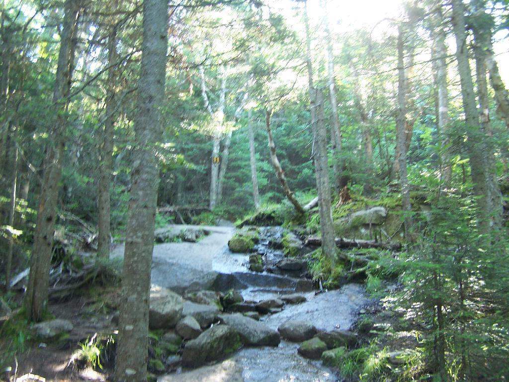
The site is number 5, although I was only able to find sites one and two nearby. The other ones must be on other roads. I didn’t drive all over Deer River State Forest, due to the noise the hubs where making on the truck, worrying me about a potential breakdown/failure with the bad hubs.
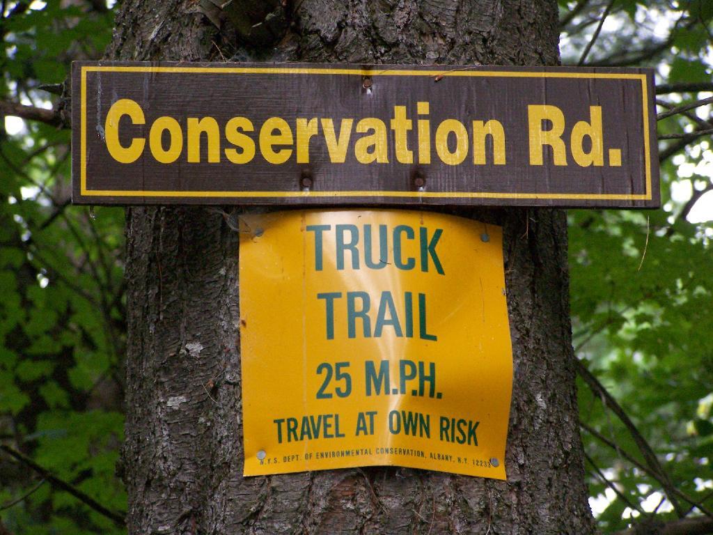
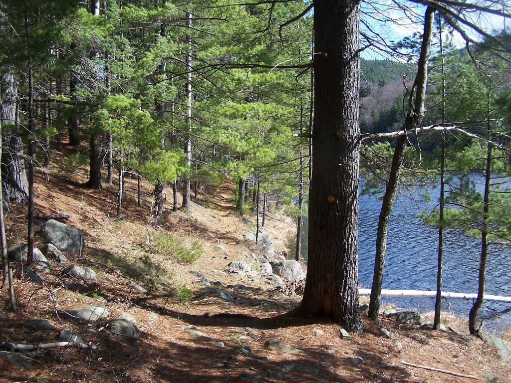
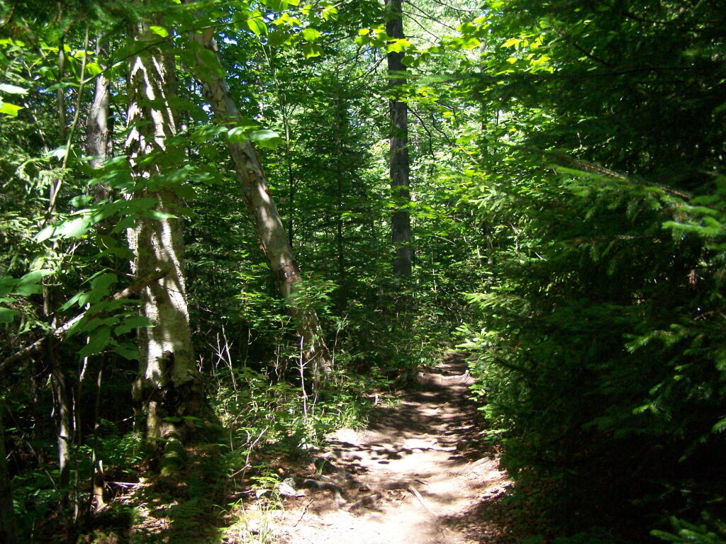
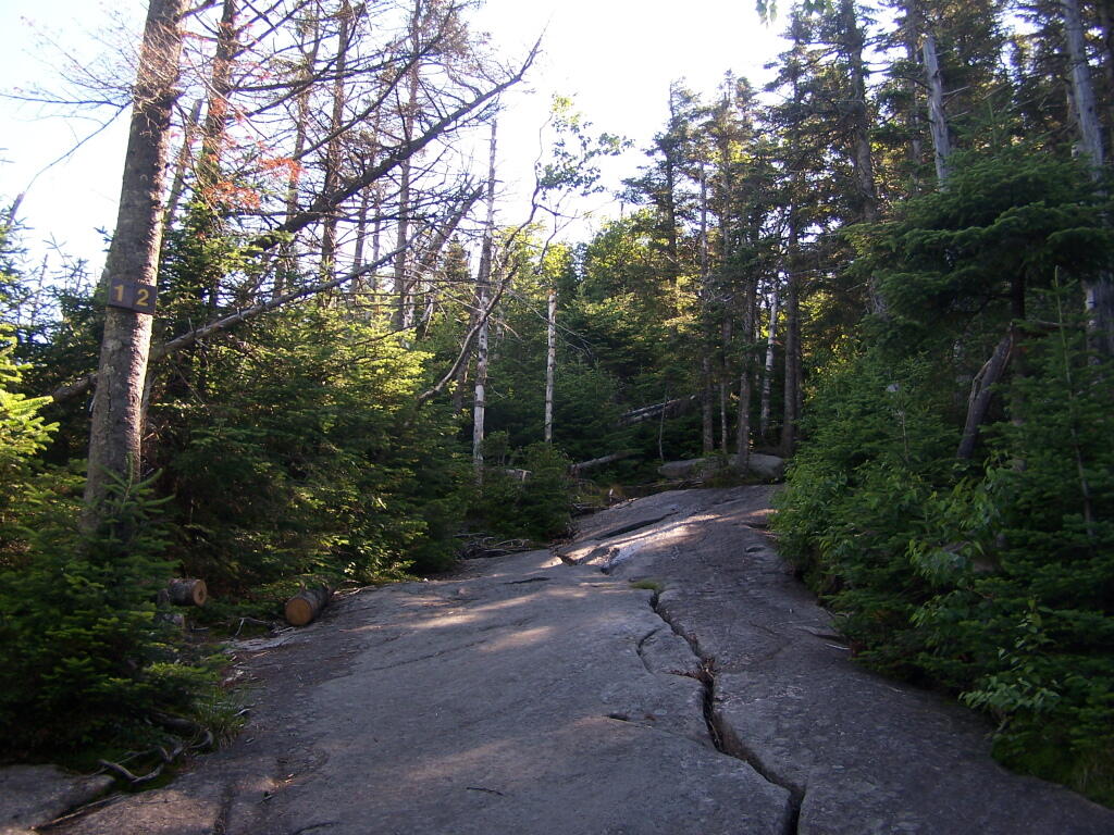
Parts of Conservation Road where relatively rough and potholed, but compared to some of the other roads it wasn’t all that bad.
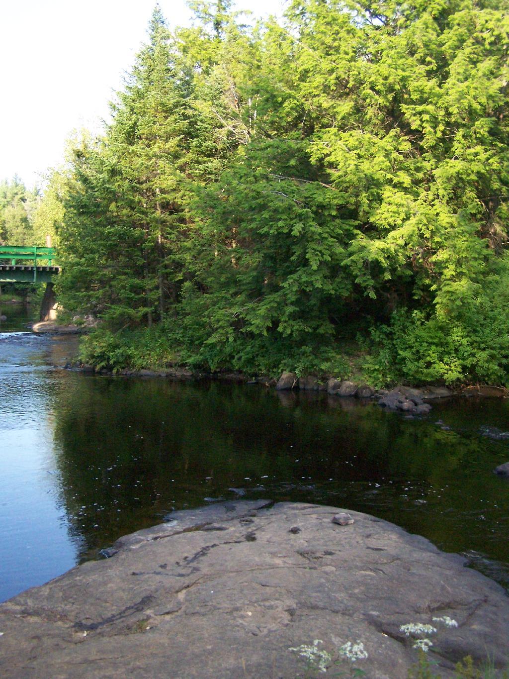
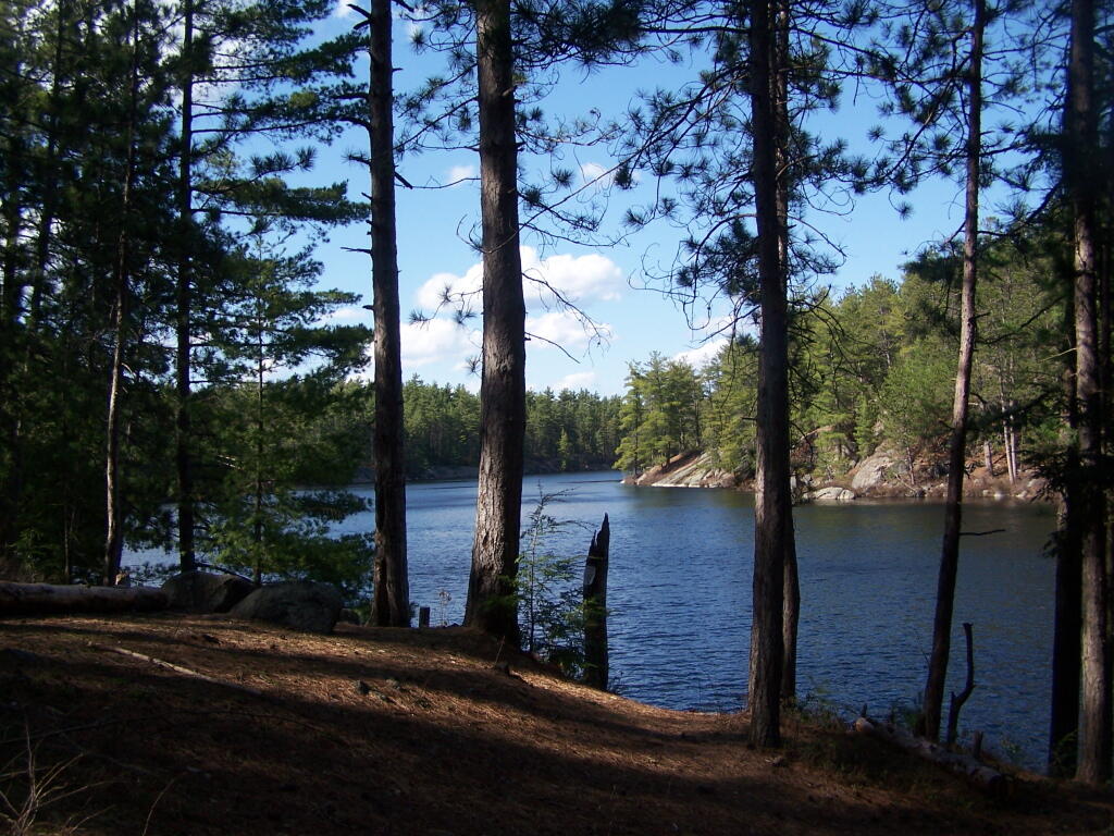
At Iron Bridge, there is a popular swimming hole. I went in both in them evening to cool off and in the morning to bathe.
Pharaoh Mountain is located about 10 miles east of Schroon Lake, and can be accessed from the Long Swing / Pharaoh Mountain Trail from the North along with a much steeper and longer trail from Pharaoh Lake from south.
If you choose to take the infamous and rough Crane Pond Truck Trail to it’s end, and then park at Crane Pond, it’s only about a 3 1/2 mile hike up the mountain. If you stop at Alder Pond, and don’t drive through the shallow end of Alder Pond to get to the last mile of Crane Pond Road, then it’s a 4 1/2 mile hike each way.
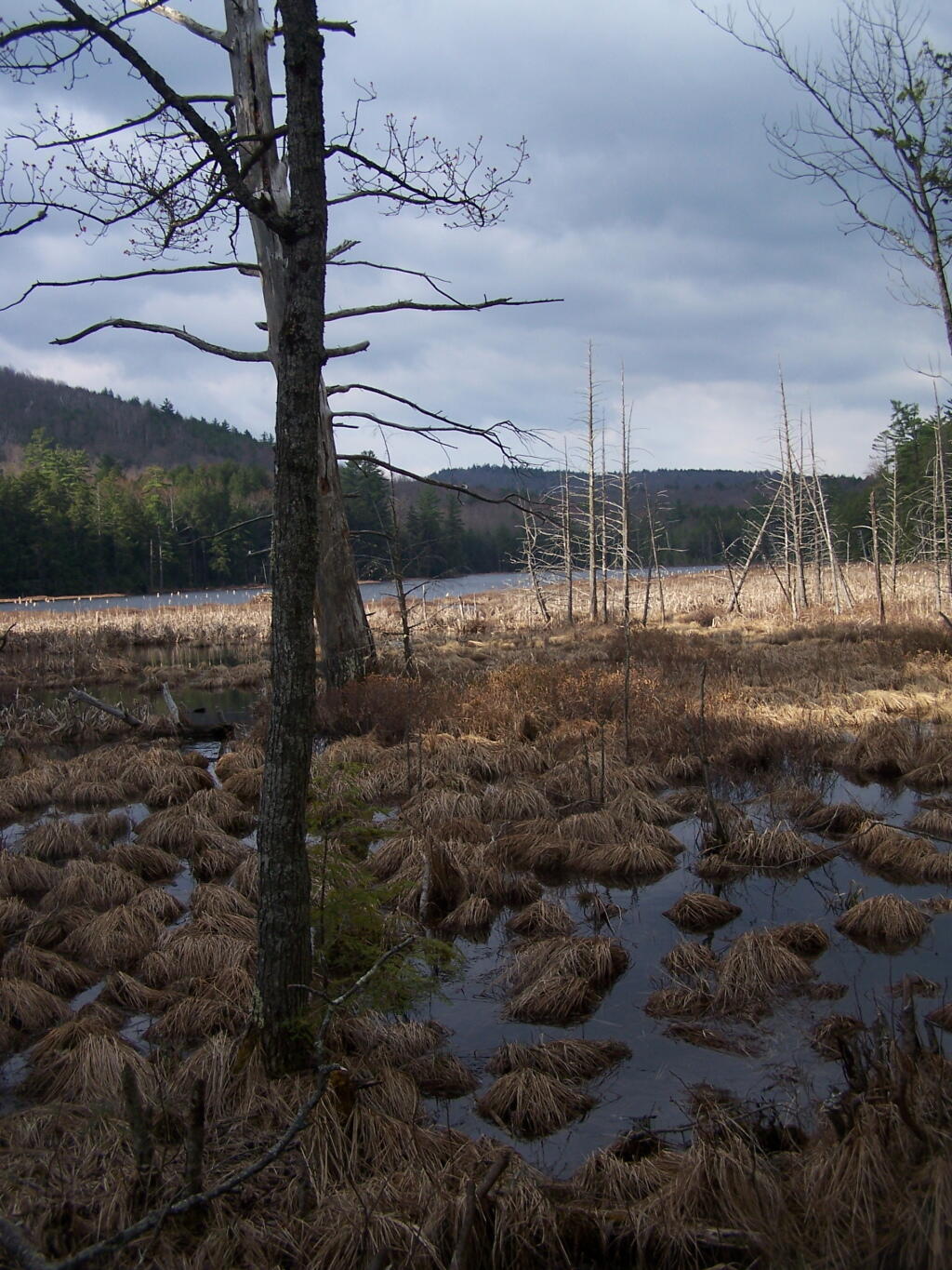
Below is Alder Pond. It was an amazing morning, as the rain let up and started to clear off. The truck trail cuts through the end of the pond, and with the recent rains, it was deeper then I wanted to take my old pickup through.
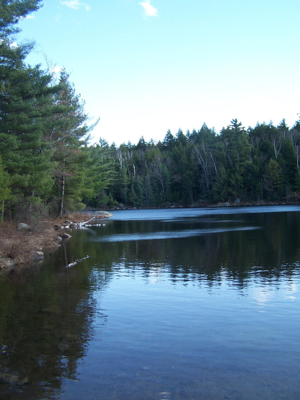
At end of Crane Pond Road is Crane Pond (not surpisingly!) There is a parking area here, and Crane Pond is known for it’s good fishing and beauty.
Reaching Glidden Marsh on the Pharaoh Mountain Trail. Pharoah Mountain is in the distance, with the peak sticking up. Most of the trail is relatively flat, until you reach the mountain, and then you start climbing.
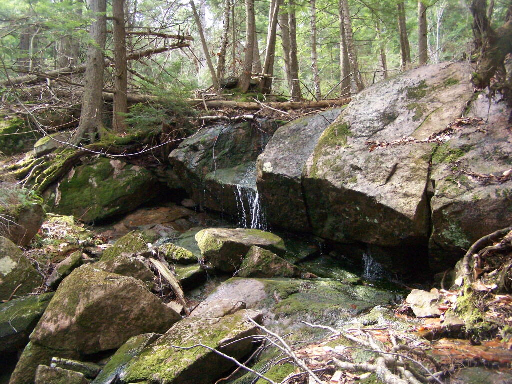
About halfway up there, there is the most charming little water fall.
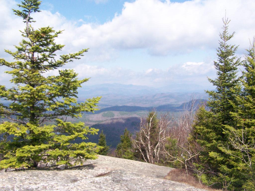
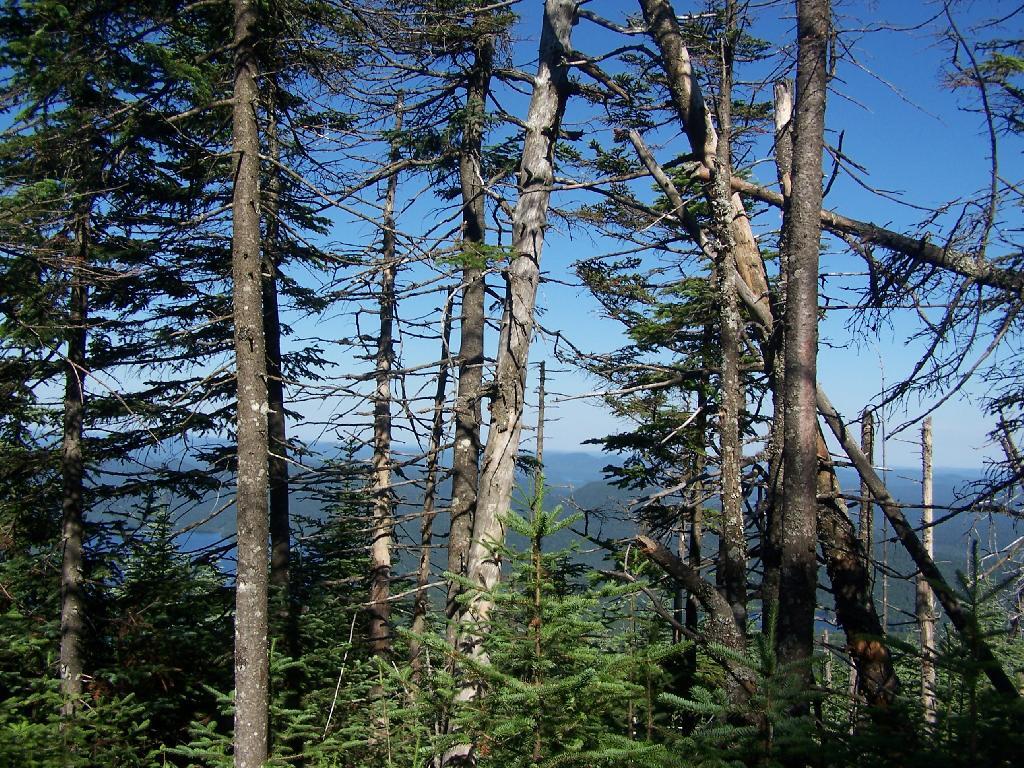
As you climb, views become progressively better.
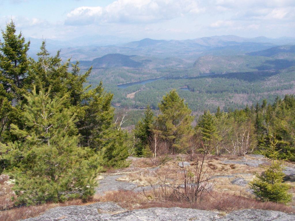
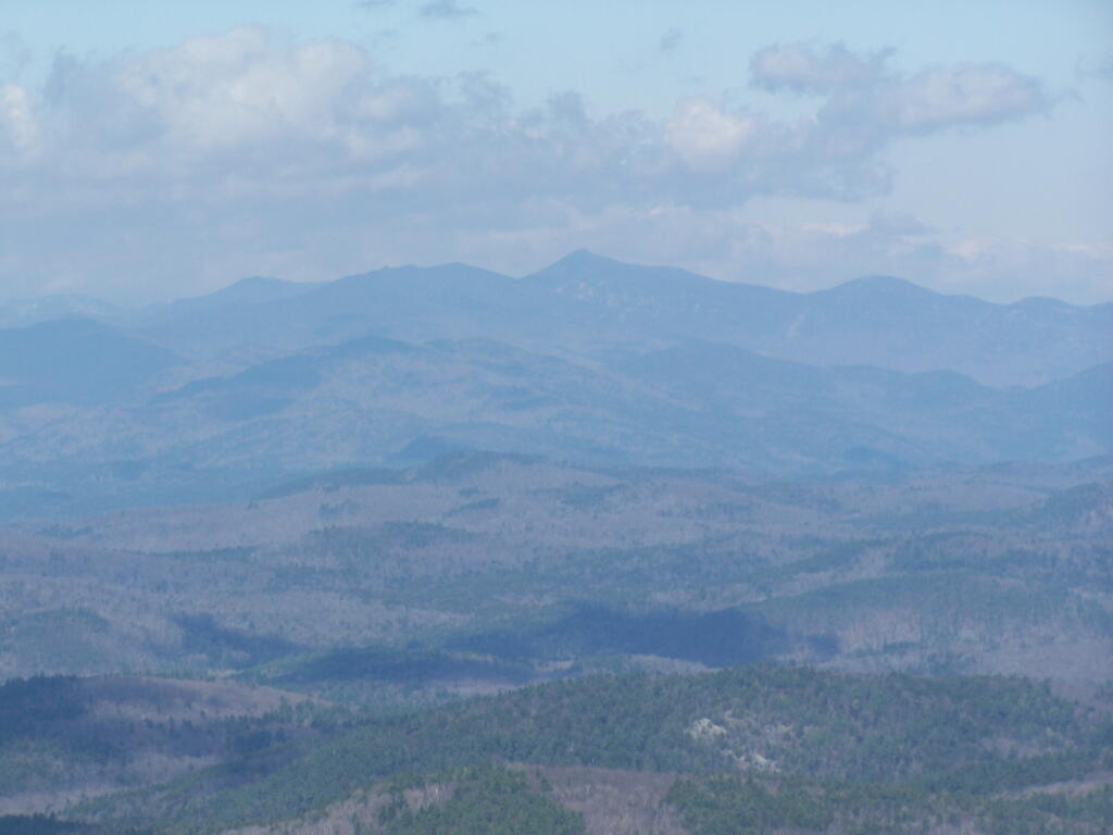
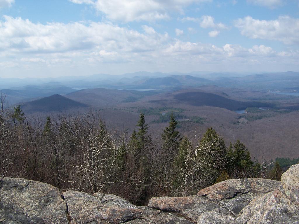
Reaching the summit, there are views in almost all directions, although you have to wonder around the top of the mountain to get all views. Here is looking North-East toward Ticonderoga. You can see Lake Champlain in the distance — barely, along with Crane Pond, Alder Pond, Oxbow Lake, and other features up close.
On the northernly view, you have nice views of the High Peaks Region of the Adirondacks, with Mount Marcy and Alonquin Mountains peaking out top.
To the south-west, there are view of Gore Mountain (ski trails still with snow on it as of April 11).
There also is a primative campsite on top of Pharaoh Mountain.
To the South-East there is Pharaoh Lake, which I did not visit, but the maps show about 5 lean-tos surround it.
Desolate Swamp is quite purty from the mountain.
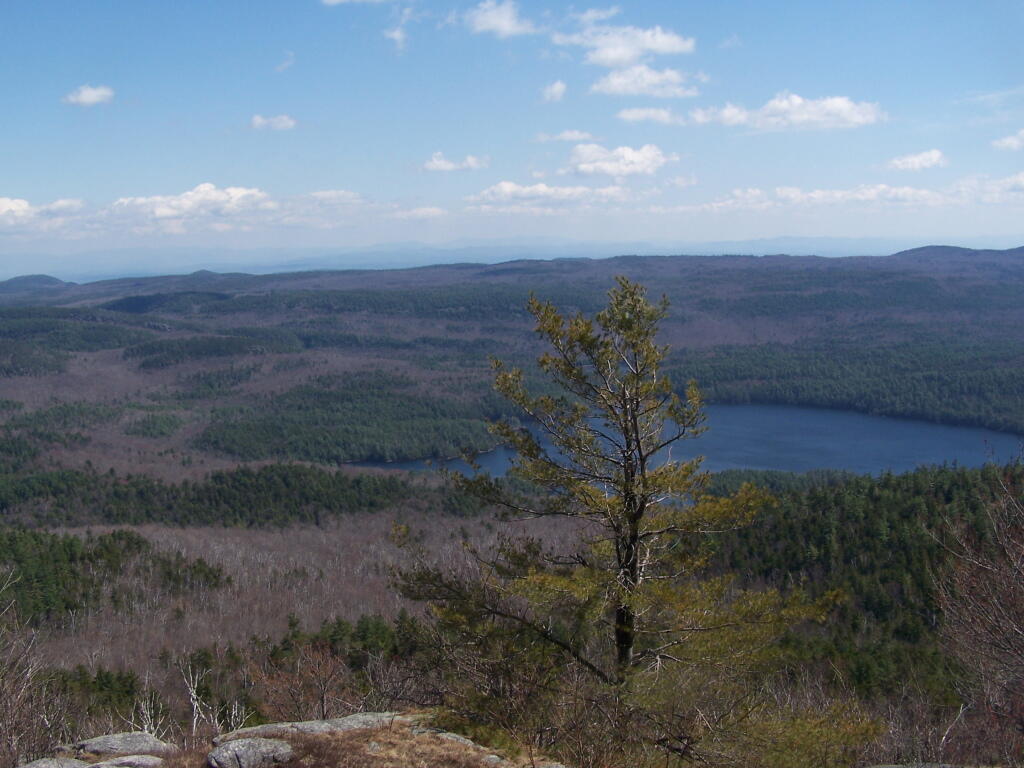
After hiking up the mountain, I took a side trip to the beautiful Oxbow Pond, and the other side of Glidden Marsh. Here is the Long-Swing Trail along the edge of Glidden Marsh, near the turn off to Oxbow Lake.
Oxbow Lake is so beautiful, and probably real deep.
The Oxbow Lean-To. It looks well used, but is in good shape, and has a decent outhouse a little ways from it, a fire pit, along with lots of water for cooking in the nearby pond.
The one end of Oxbow Lake is swampy, as it runs between outfall of Crab Pond down to Oxbow.
Heading back to the truck, the sun flickers on the outlet of Glidden Marsh.
An amazing hike. Definitely want to come back, and possibly spend a night at Oxbow Pond.
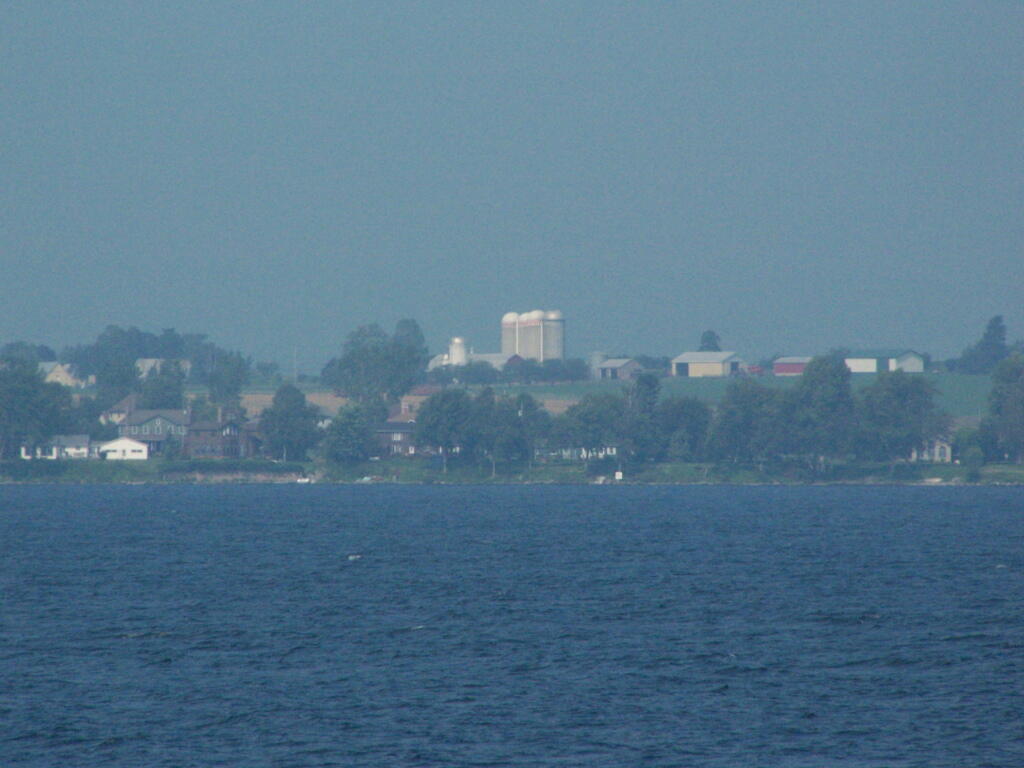
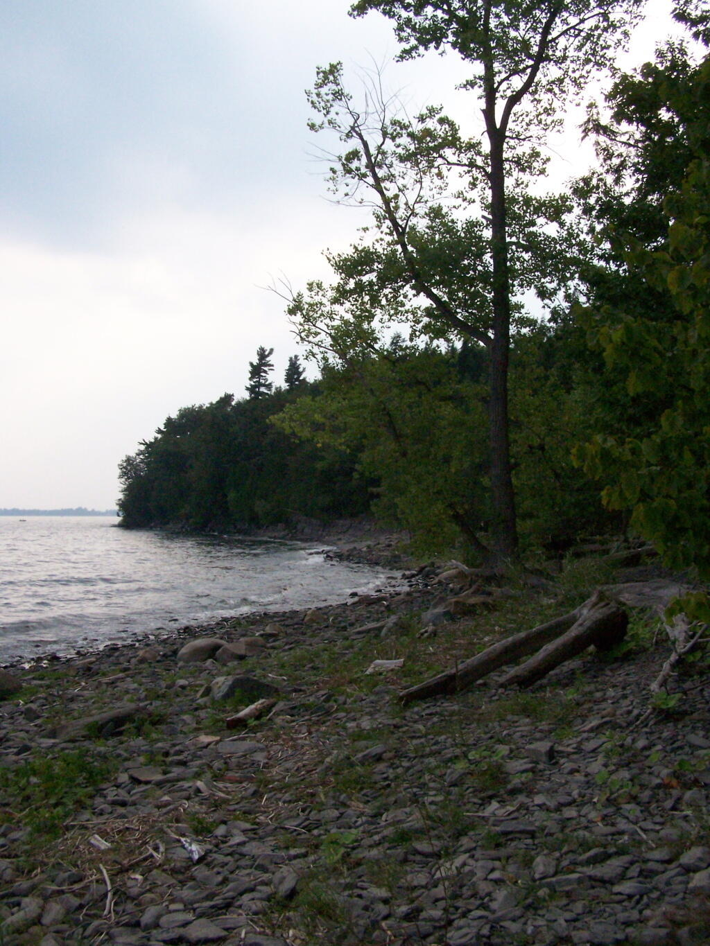
Back in my college days I used to either ride my bike or drive up in the pickup to Point Au Roche State Park, which is located about 8 miles from Plattsburgh. It has fantastic views of Lake Champlain, and on less humid days, some great views of the Adirondack Mountains.
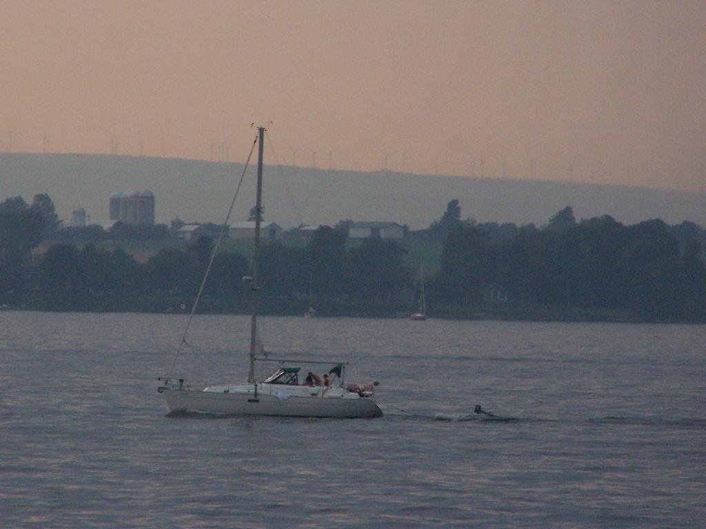
I went for a walk out along Long Point on Sunday Night and Monday morning. It was amazing to come back to the place which I so much remember from when I was back in college. The only difference I noticed was the wind turbines you could see on Rand Hill, just barely through the evening haze.
When I went for the walk this night, it was very hazy and hot. It wasn’t raining, but from the amount of fog and humidity you might not have guess it.
The next morning was almost as hazy and hot and humid, but with some nicer views.
I am often very critical of efforts to deem public lands as wilderness, as a form of statutory or constitutional protection of the lands, forever condemning motorized uses, and severely limiting other uses of the land, especially if the land has previously been farmed, logged, or otherwise changed by man. Certainly there are some unique parcels that should be preserved in such a pristine state, but many others are just wild lands to be used by man and nature alike.
I really do not like the legal definition of wilderness. I don’t think it captures my view of the forest lands I belove, the real wilderness in my imagination. Wilderness is the state of being wild and natural, largely uncontrolled by society’s social structures. It’s a land where man is free to use, largely without the control of government dictating how it is to be used except for minimal standards to protect its quality for future generations. Wilderness is a place where you go to get away from it.
Wilderness is any wild location in a rural area. It could be a hobby or even a professional farm, run by it’s operator. Or it could be any forest privately or publicly owned. It could be a hunting camp. It could be a dirt road in the middle of nowhere, or a state forest. It could be a wild forest in Adirondacks, a National Forest, or some other wild land. It could be a state truck trail or a back-country location. It does not have to be road-less or totally untrammeled by man, just wild and free without excessive government control and oppressive populations.
… wilderness is a place to escape, a place to get away from it all.
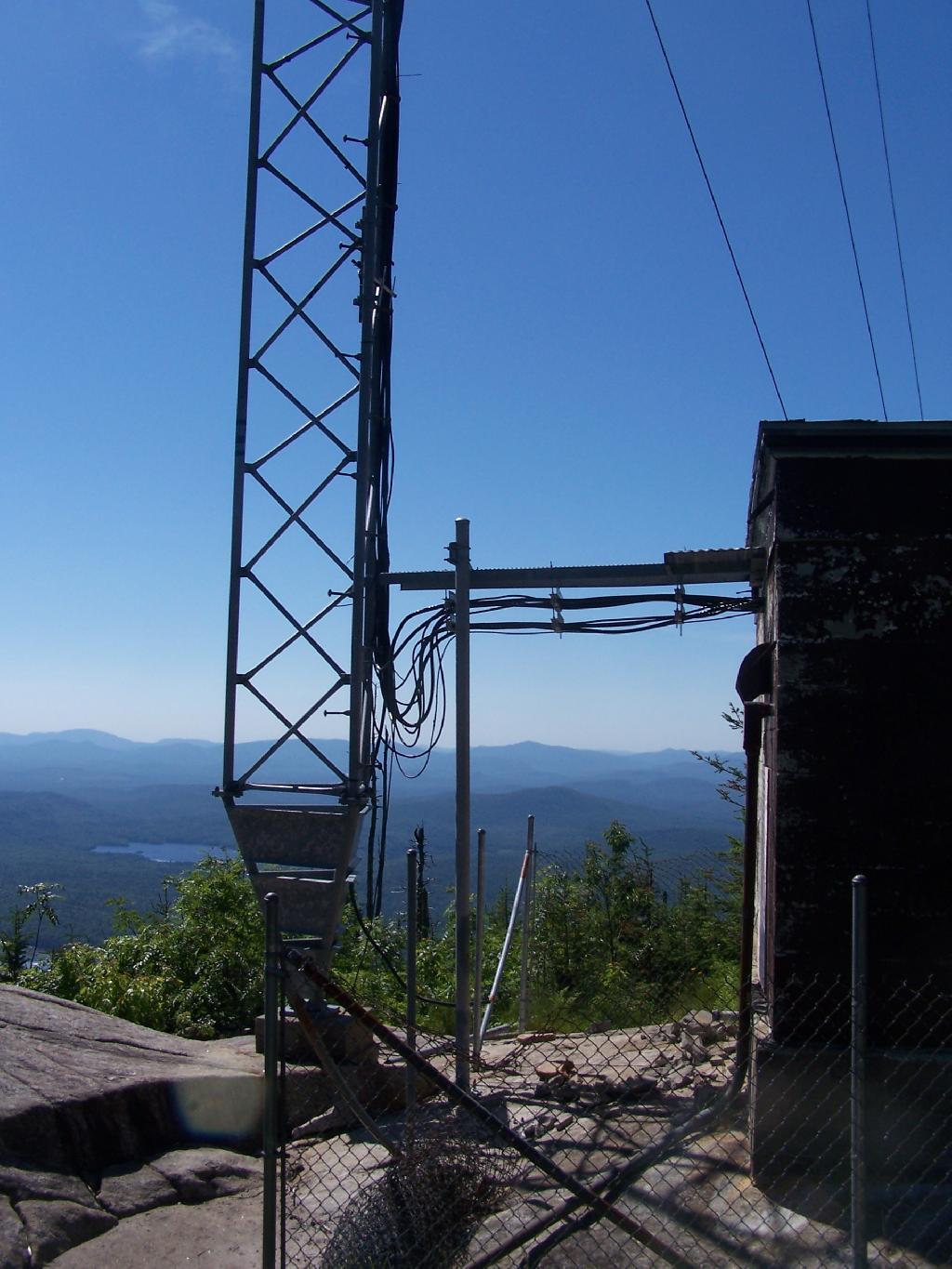
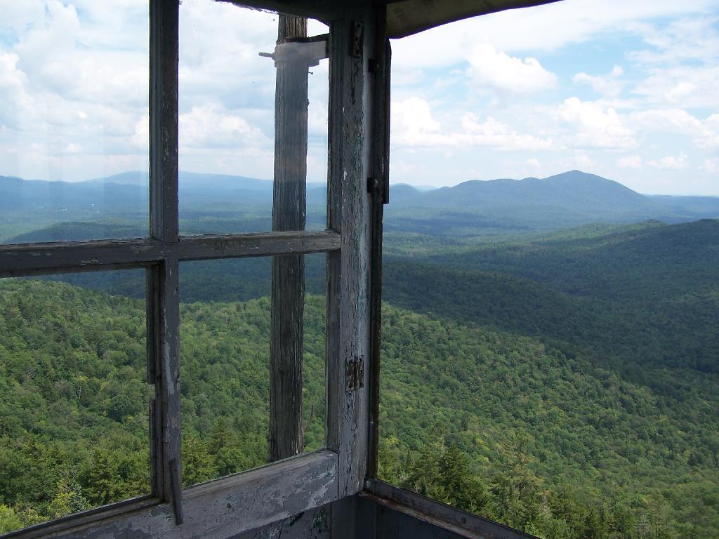
There is a fire tower on the mountain overlooking Blue Mountain Lake. It has some interesting views, and can be checked out by driving just north of Blue Mountain Lake on NY 30. It is one of the most popular hikes in the Adirondacks, and many people also visit Moose River Plains or the Adirondack Museum after hiking the tower.
Here is Blue Mountain heading North on NY 28.
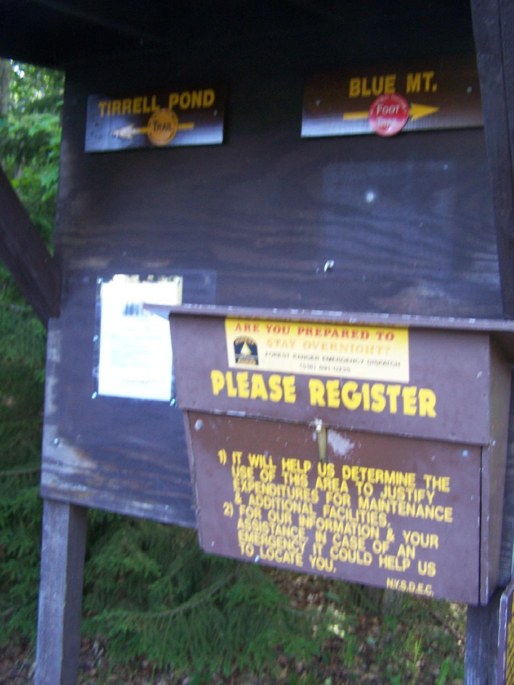
The registration box at the bottom of the mountain.
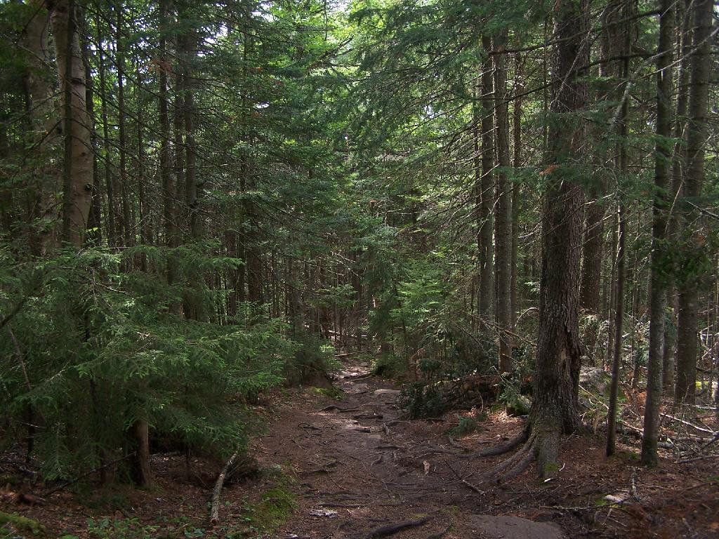
The trail is well maintained, despite it’s extensive use, with board walks across muddy locations.
The first part of the trail is relatively flat for a while, then gets steep for a bit.
A lot of the lower part of the mountain was rocky with lots little rocks to step over.
About halfway up the mountain you get partial views down the mountain.
Eventually the mountain opens up a little, and your walking on exposed granite, steep, but not too steep.
Once your almost to the top, you can look back and see Blue Mountain Lake through the trees.
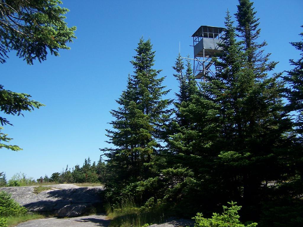
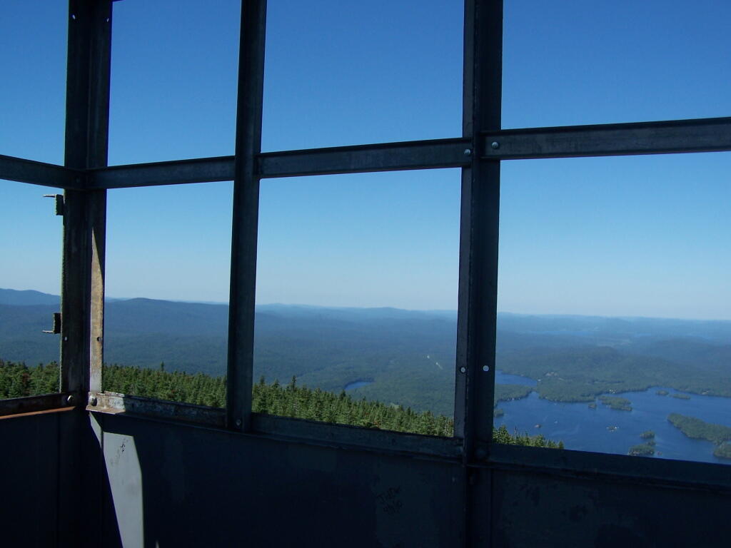
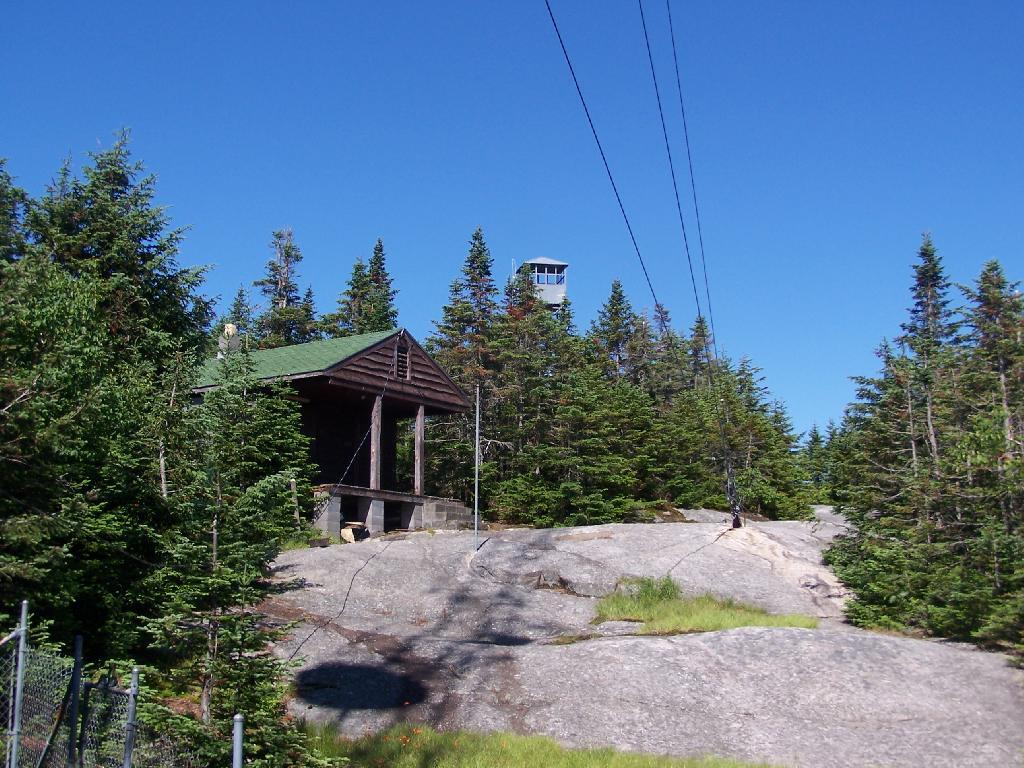
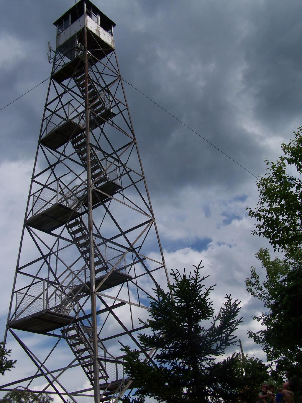
You reach the top of the mountain, and there is a gradual ascent, as you cross to the eastern side of the mountain, where the summit and the tower is located. Finally, you see the tower through the trees.
The tower is a relatively short 50 or 60 foot, but it’s plenty high to get good views of the surrounding landscape.
Looking out to the Tower windows.
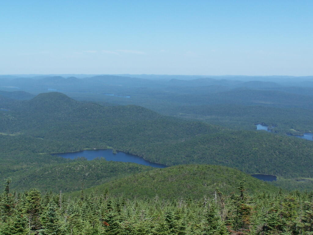
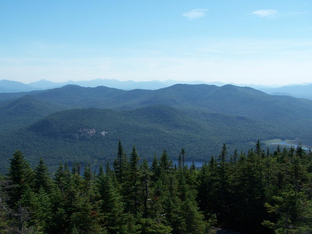
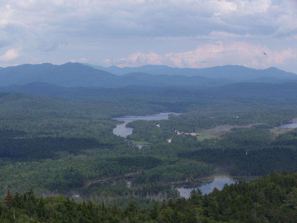
Blue Mountain Lake from the fire tower.
Moose River Plains to the south-west of the tower.
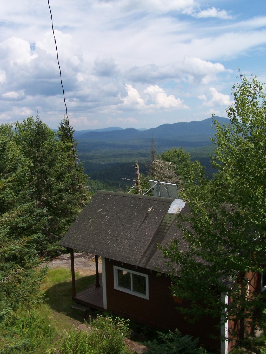
On the eastern side of the mountain, there is a radio tower and the old ranger’s cabin.
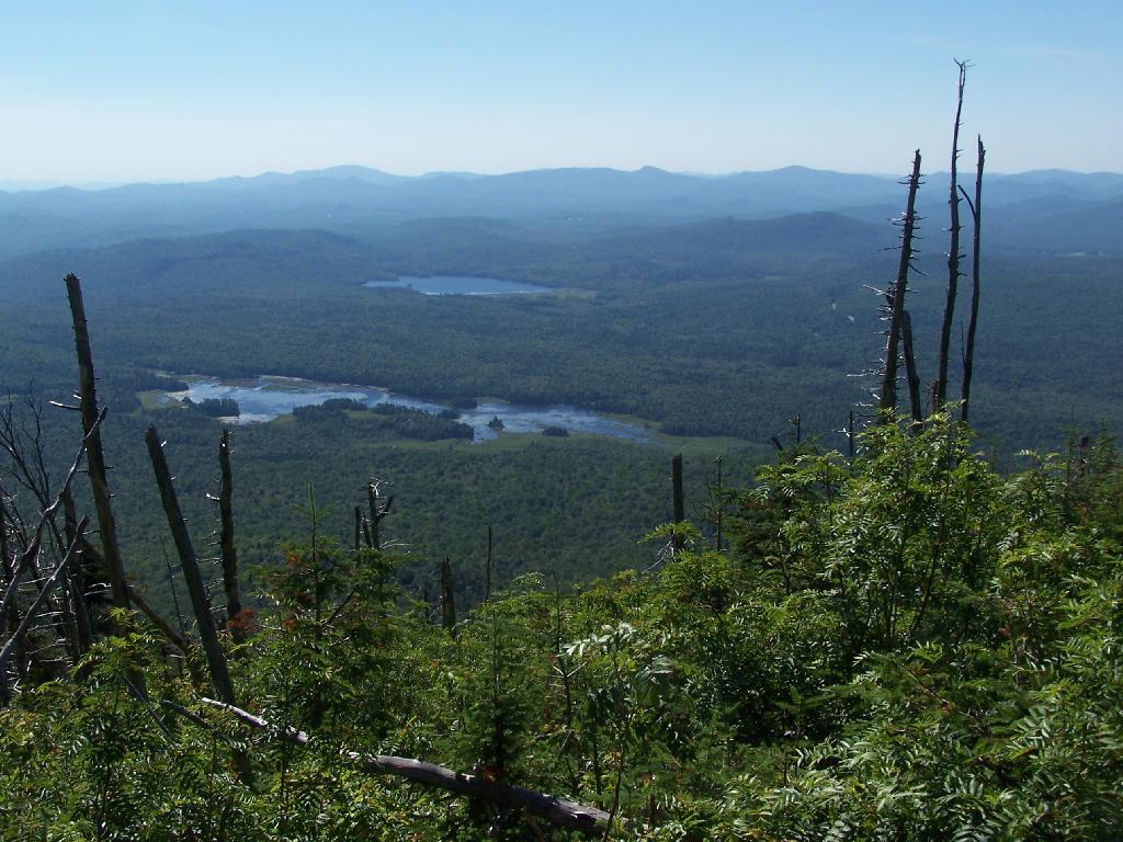
From the eastern side, their is a ledge, where you can see and look down towards like Lake Durant and Moose River Plains.
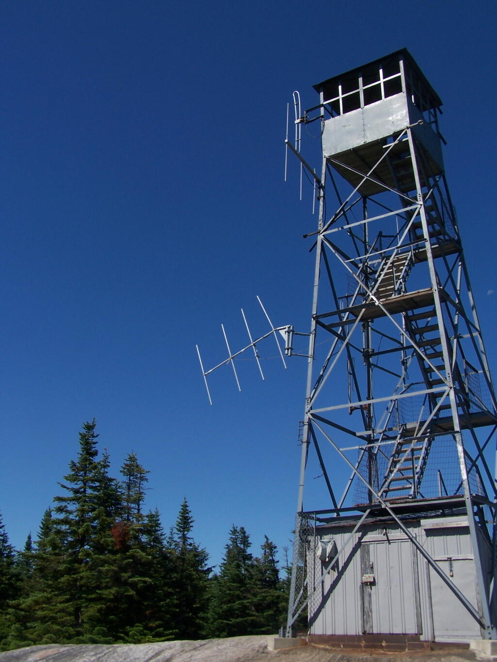
The radio tower up close, with the fence broken down around it. I didn’t hear radio signals in my ears, despite being so close to this big radio tower.
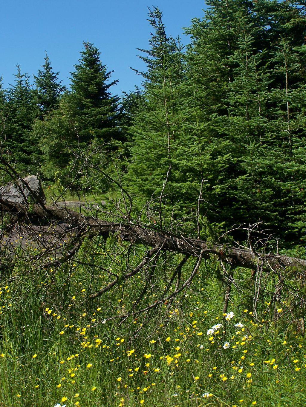
Flowers on the top of the mountain.
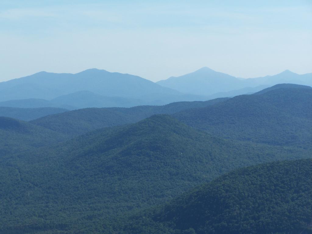
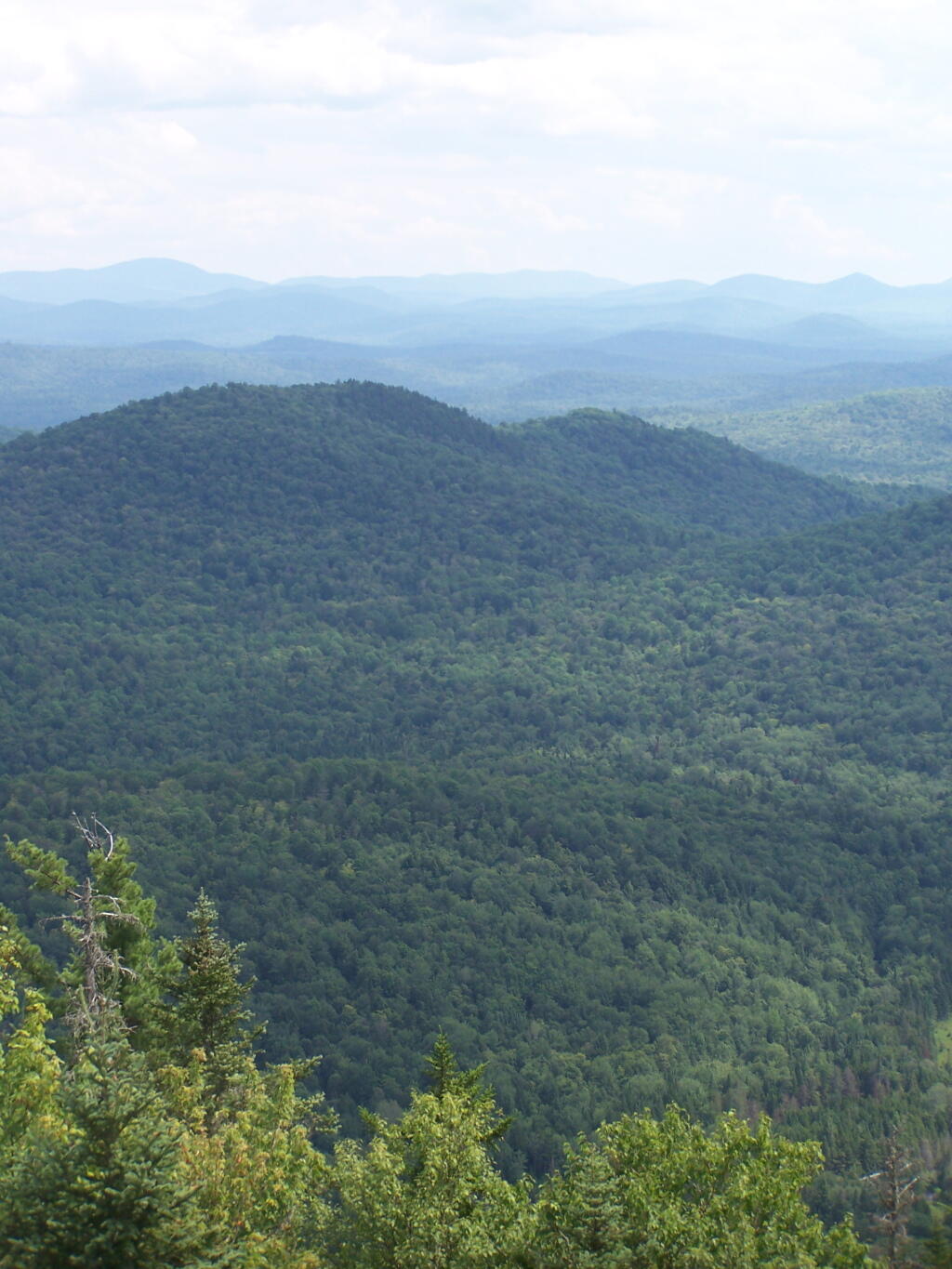
To the north-east there are views of the High Peaks Mountains. They probably woudln’t be as clear on a hazy day.
Tirnell Mountain is privately owned to the east, and you can see some active logging on it.
Seventh and Eight Lake as seen from Blue Mountain.
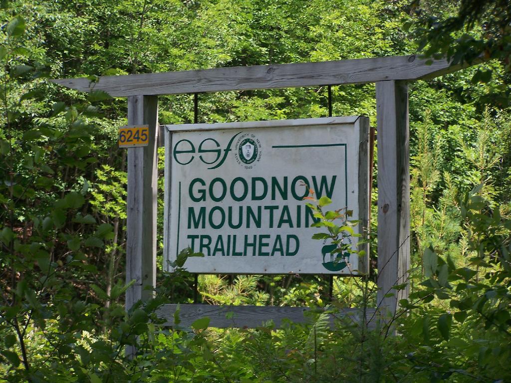
A couple of weeks ago I hiked up Goodnow Mountain, on a beautiful clear afternoon, that by the time I reached the mountain it started to cloud up and the humidity started to increase. I had previously in the morning attempted to hike up Giant Mountain in the High Peaks, and wanted to do something easier for the afternoon.
Goodnow Mountain is located at the SUNY ESF (Environmental Science-Forestry) College, just south of the Adirondack High Peaks on NY 28, just to the west of Newcomb. It’s a bit of a drive from the Adirondack Northway from the east or even a little ways from Long Lake to the west, but well worth it for the views.
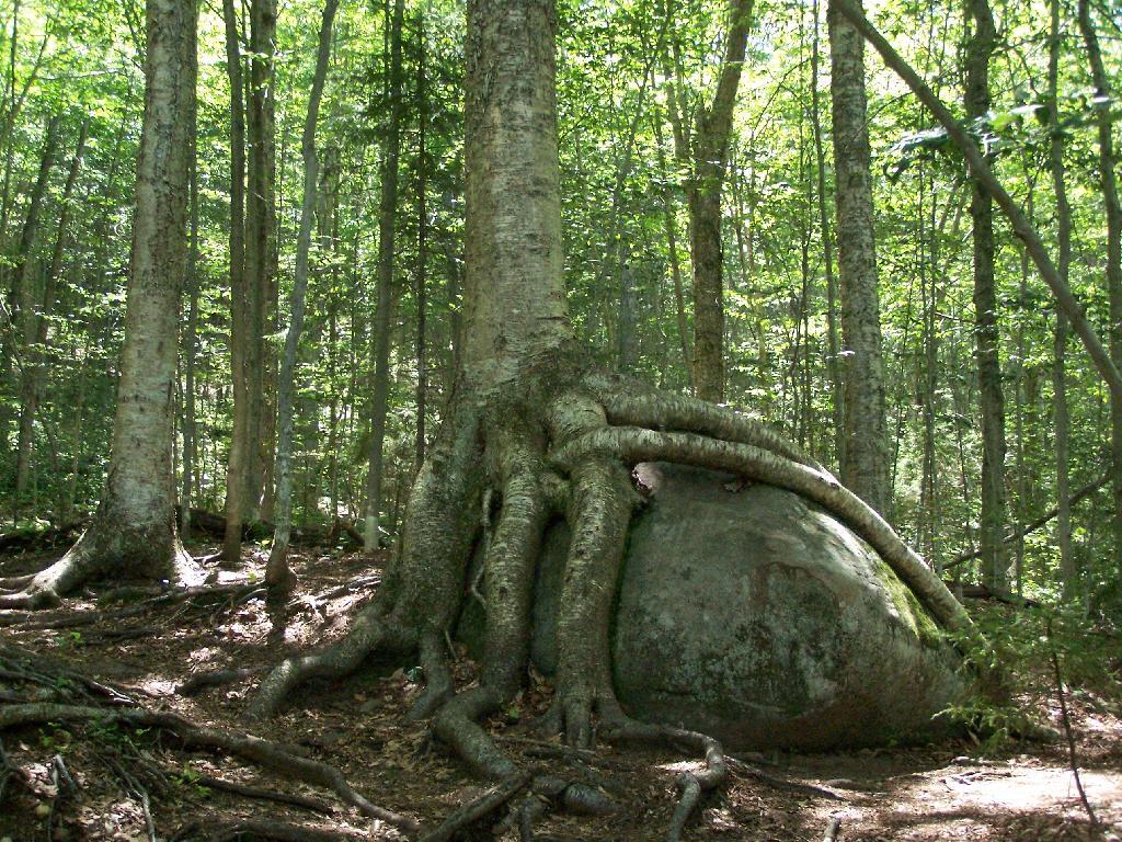
About a quarter mile up the trail you pass an interesting tree grown over a rock. This is not as uncommon as you might think in the Adirondacks where the soils are poor and the ground is rocky, and trees seek to put down more roots to pick up nuetrants.
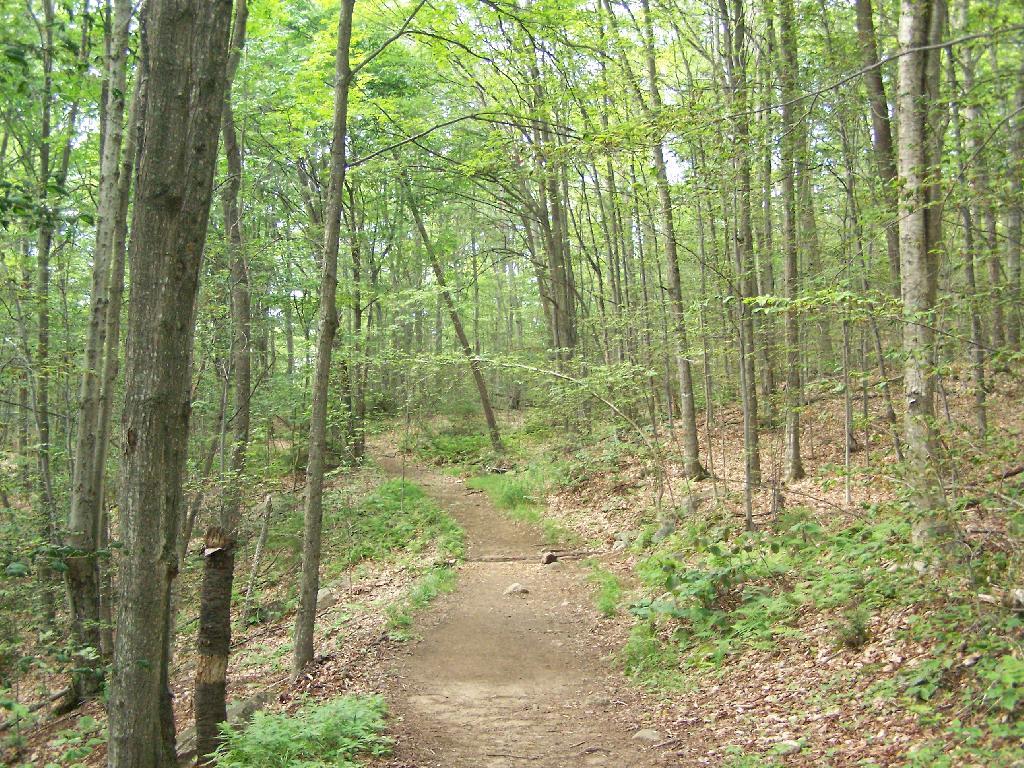
At about 1/2 mile you reach the old woods road that at one time, decades ago, provide vehicular access to the tower for forest rangers. Part of the trail is flat, but then it keeps steeper and erosion is noticable on the old road bed, no longer passable by anything then ATV in an emergency.
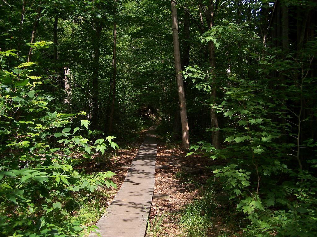
Further up the mountain, the trail follows a series of boardwalks that keeps most of the trail out of the mud and the muck.
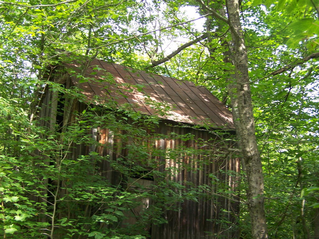
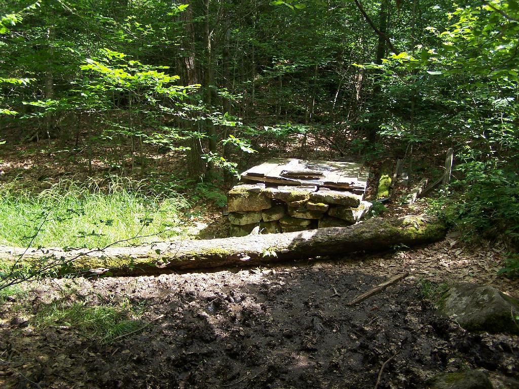
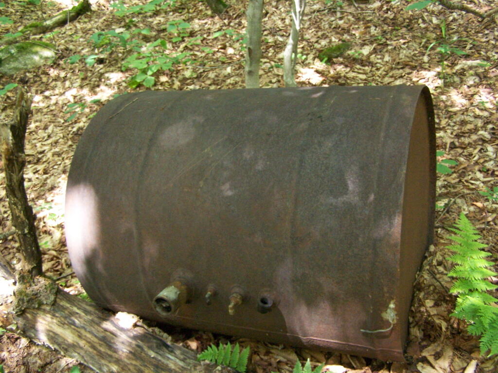
Then you reach an old abandoned barn, a well, and some interesting old debris like what appears to be a tank from a hot water heater storage unit.
You ascend a ledge, with some limited views to the south.
Then their is a thick planation of White Pines along the trail as you make one relatively short ascent to the firetower.
Eventually at the last possible moment, you break through the White Pines to see the Goodnow Firetower, and almost instantly want to start climbing it for the views, unless your suffering from heat exhaustion, then you might want to look for the relatively limited shaded but open sections on the mountain.
SUNY ESF has restored to the Ranger’s cabin, and the porch is a farely popular place to sit, enjoy the view, beat the heat for a few moments.
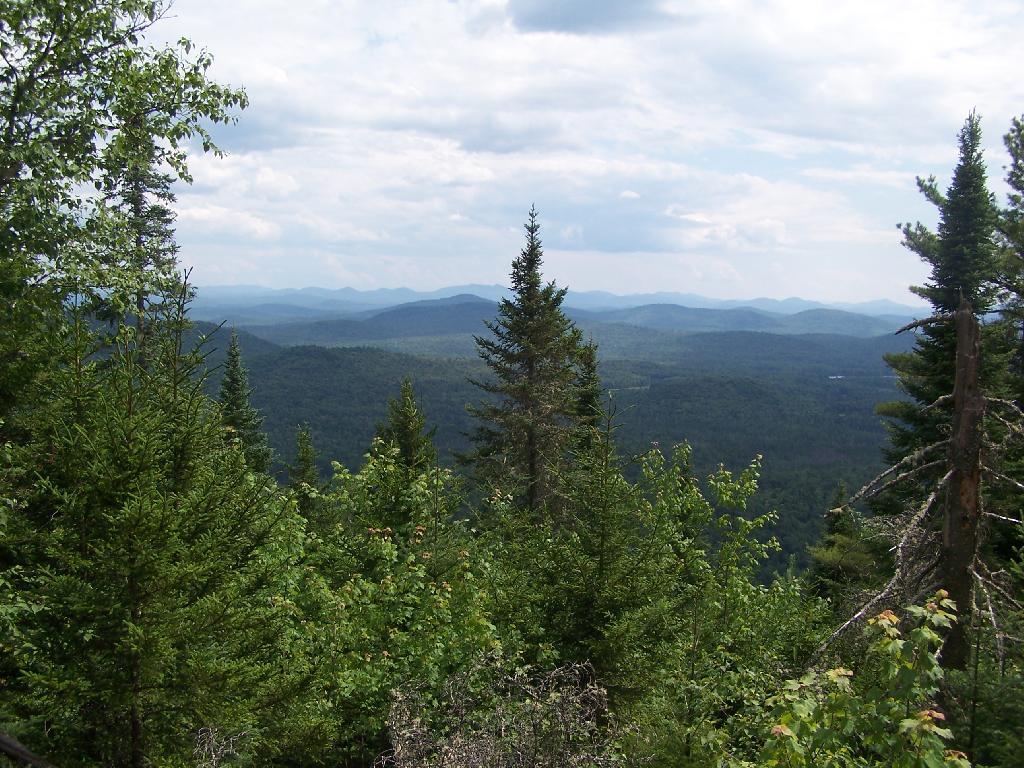
There are many interesting views from the firetower. Here are the High Peaks looking North, the Vanderwhacker Wild Forest to the east, Kempshall Mountain / Long Lake to the west, and Blue Mountain / Blue Ridge to the South.
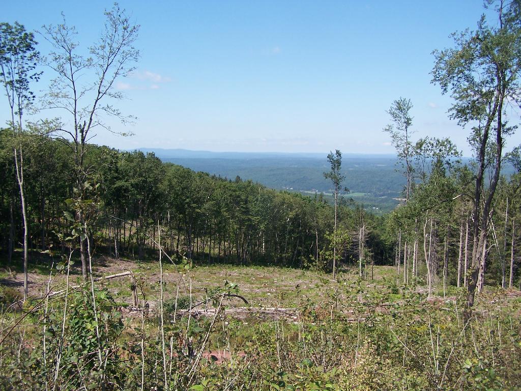
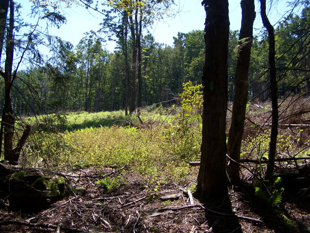
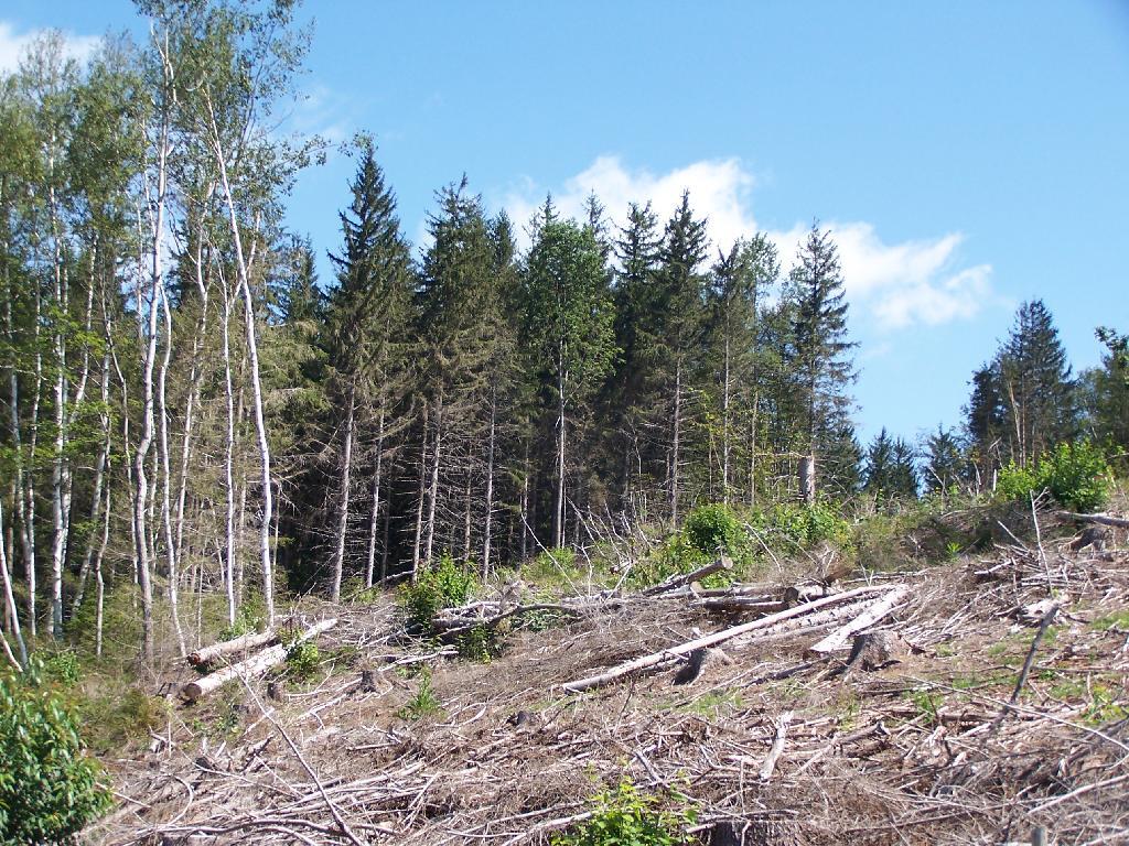
One of my pet peeves is state lands is where there has been a recent clear-cut timber harvest and hiking trails are not cleared of logging trash. Logging is important part of managed forests, but it’s one of many uses.
Unsalable tree tops and other brush or so-called “logging trash” has an important role as wildlife habitat. The logging trash will rot away and leave valuable soil for trees and forest to grow up and around. Leaving logging trash on steep slopes will help prevent erosion.
If a hiking trail, a campsite, a road, or other public access-way exists in a forest, the DEC should preserve access to it. Hunters, hikers, campers, and outdoorsmen need access. Trees marked previous for trail crossings, camping, or other signs, and then timbered should be replaced with other signs or markers.
… it’s just good practice for lands that are supposed to be multi-use lands.
![Untitled [Expires November 15 2024]](https://andyarthur.org//data/photo_017517_large.jpg)