The Bog River Flow, also known as Lows Lake is a spectacular wilderness/primitive area located in South-East Saint Lawerence County. It consists of two dams, Lows Upper and Lows Lower, that create to massive man-made lakes. It is home to over 100 paddle in campsites along with some amazing views and wildlife.
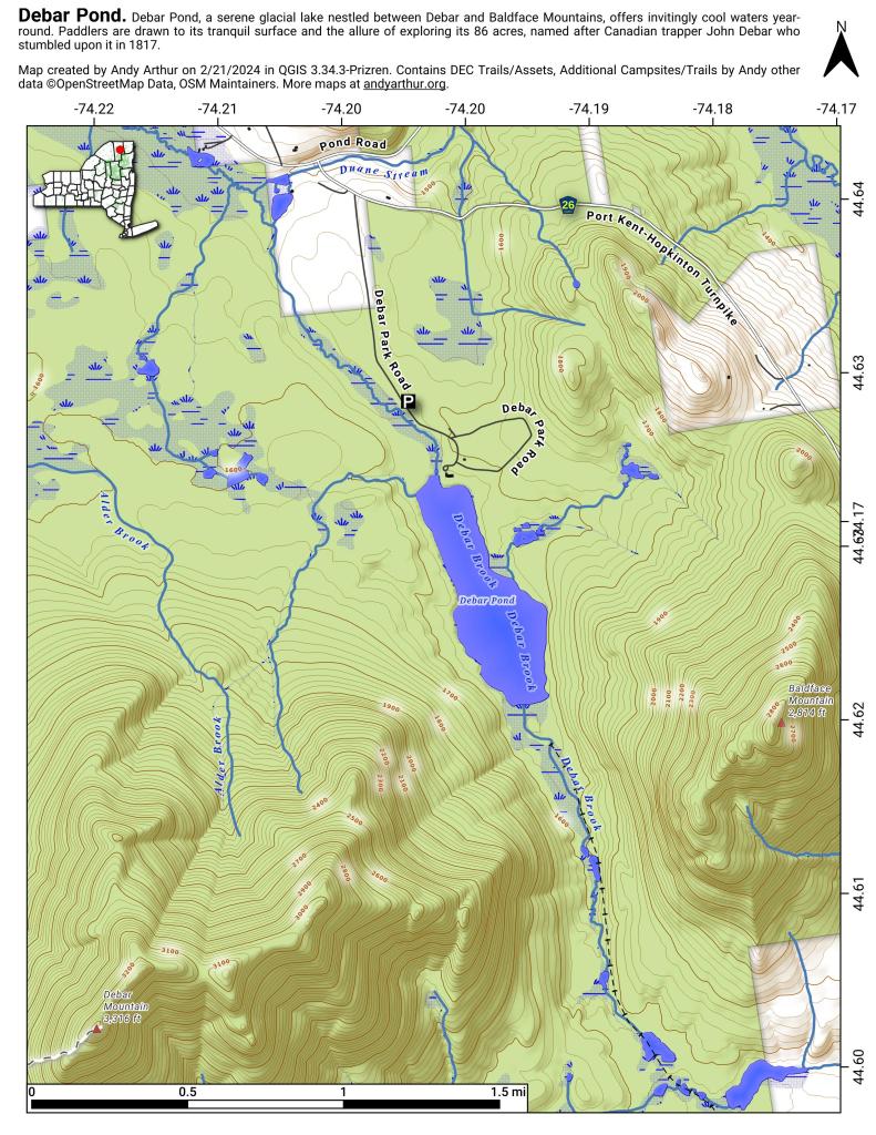
Here is a downloadable map.
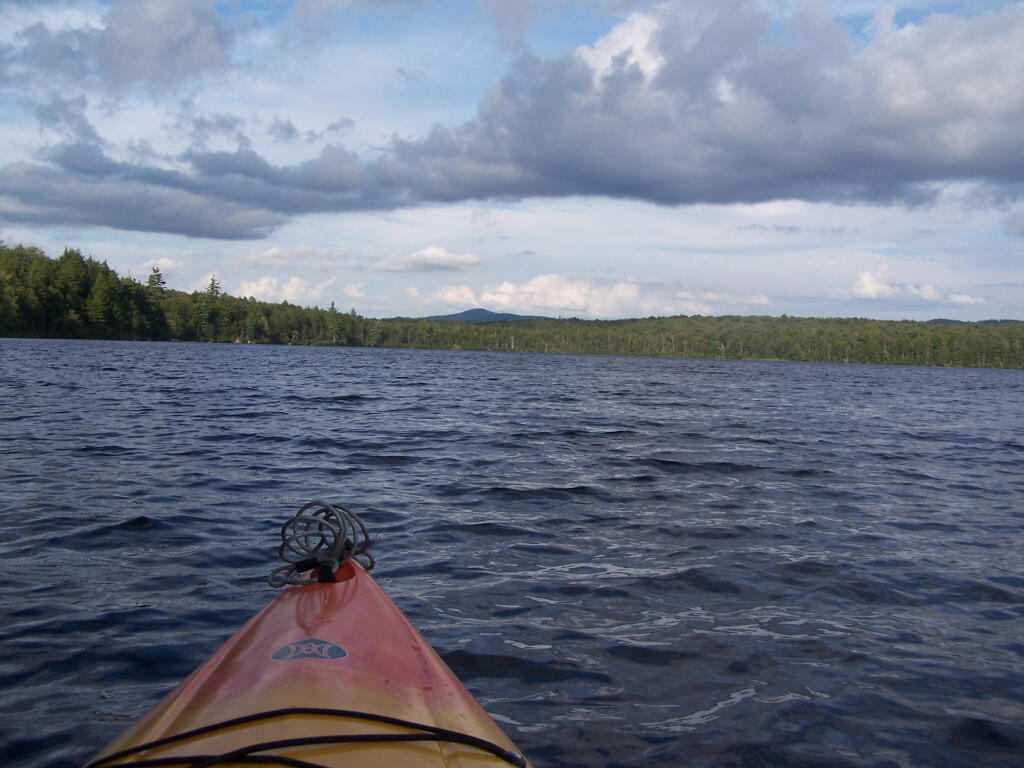
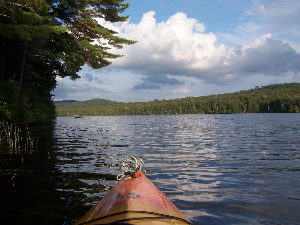
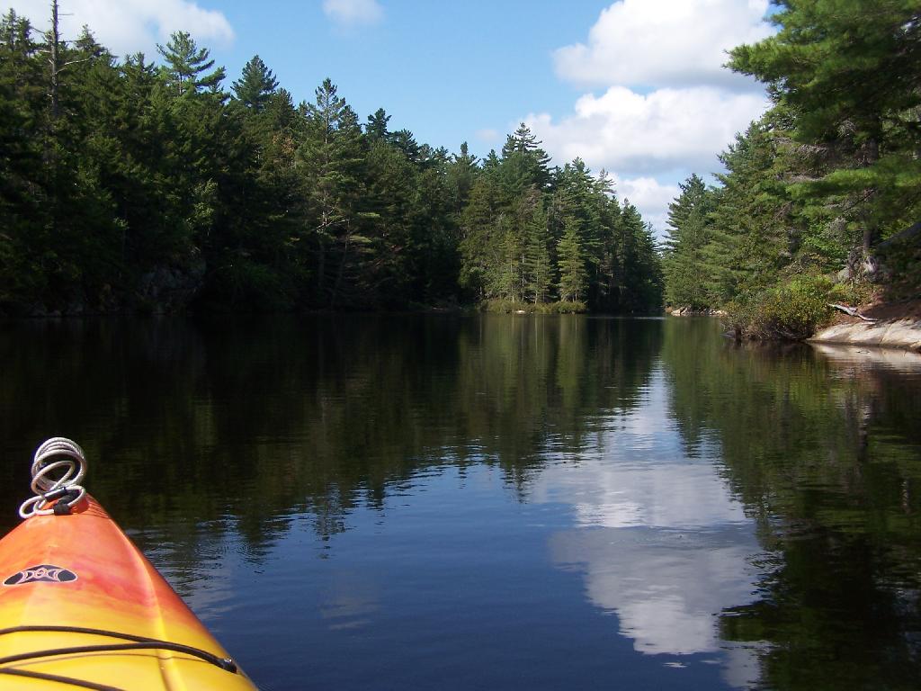
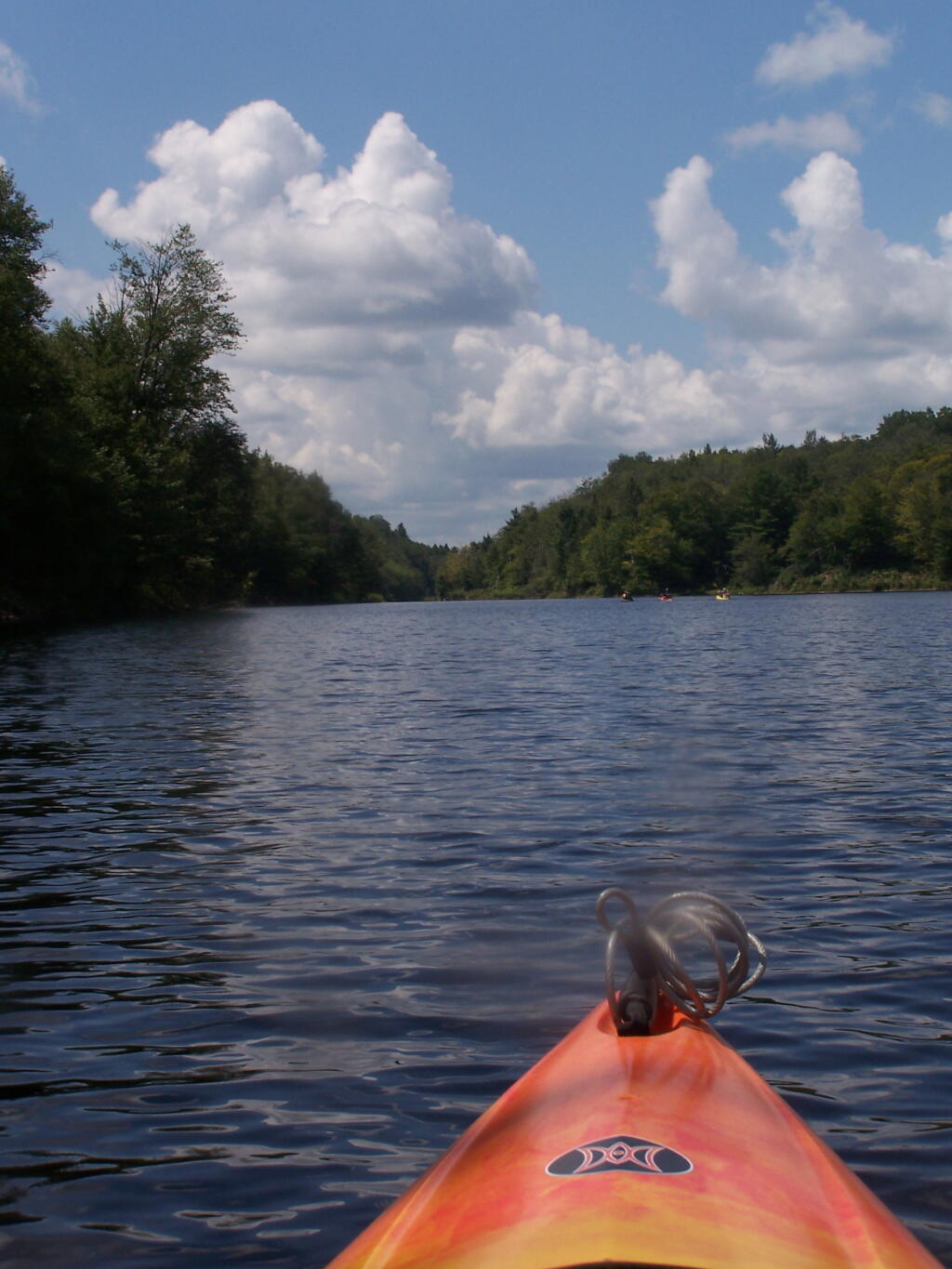
Above Lower Lows Dam. Paddling up the “flooded” Bog River, in the lower portion of Bog River flow, right above the Lower Lows Dam. If this area was not flooded by dams, it would be rapids, unaccessible by canoe or kayak.
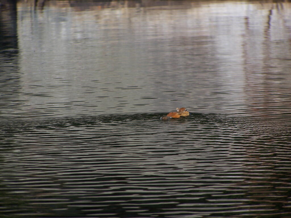
Chimpmunk Swims. This was taken about a mile above the Lower Lows Dam.
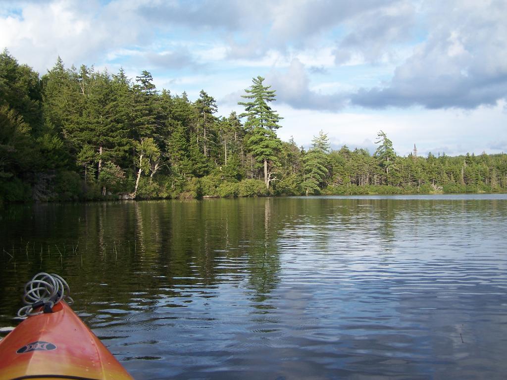
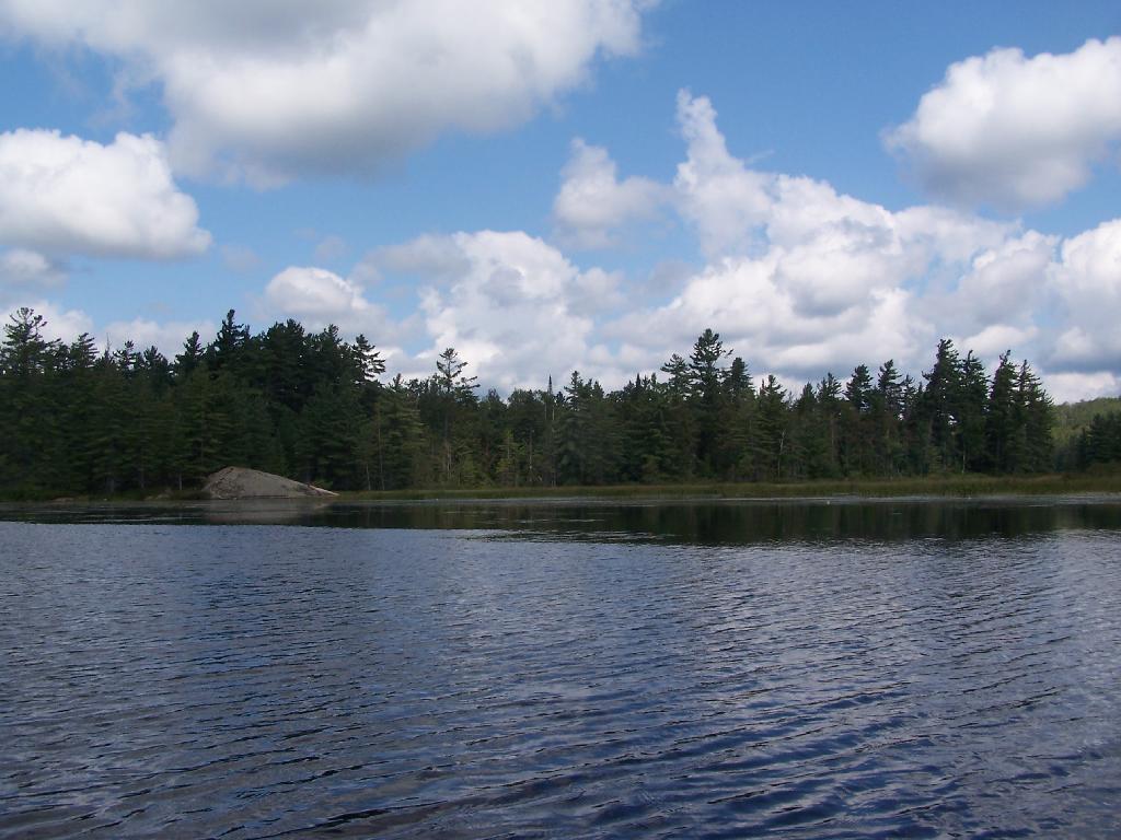
Bog River Flow Narrows. The Lower portion of the Bog River, is pretty narrow in part, due to the rocky terrain that it covers. You can easily bottom out a canoe or kayak in these parts, and other parts appear quite deep. There are a couple of paddle-in campsites along here.
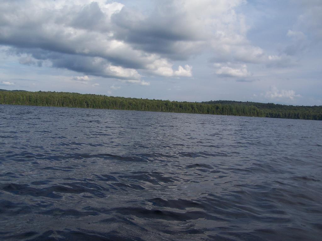
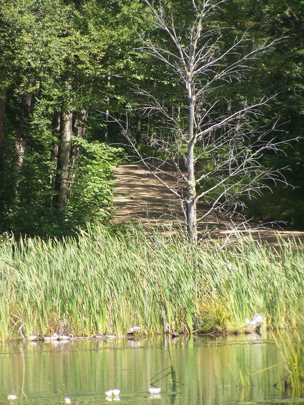
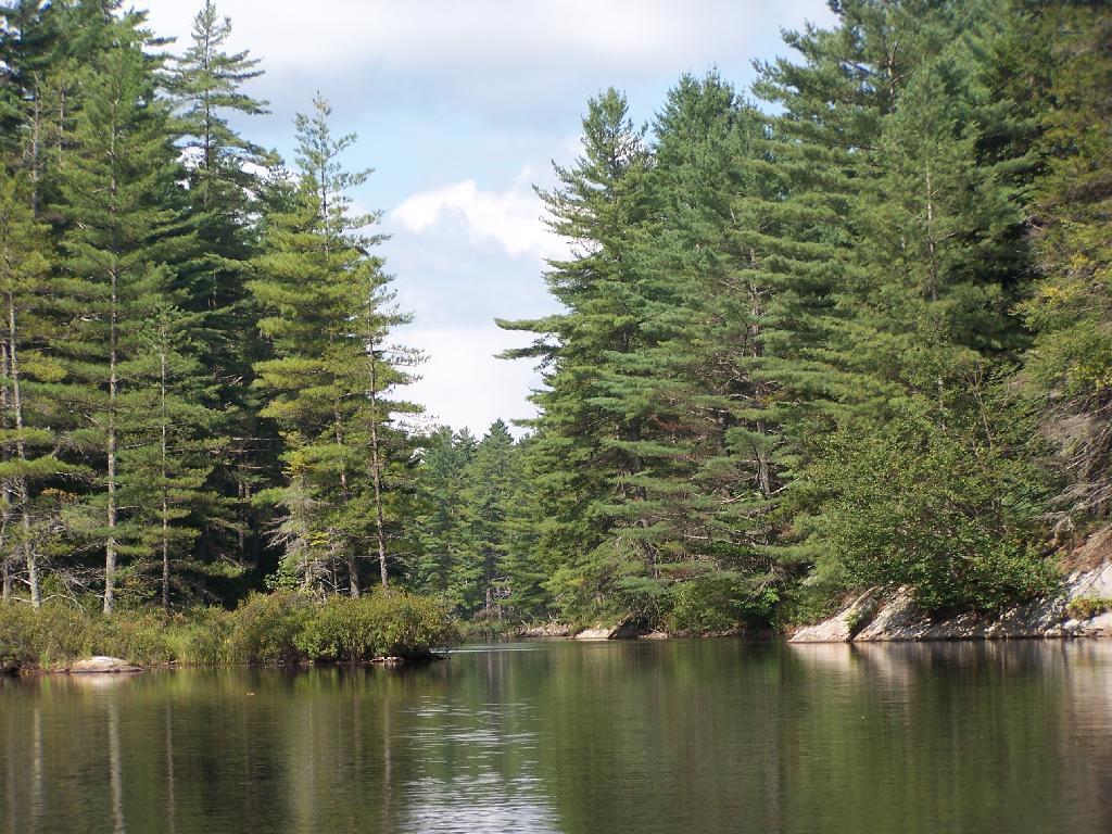
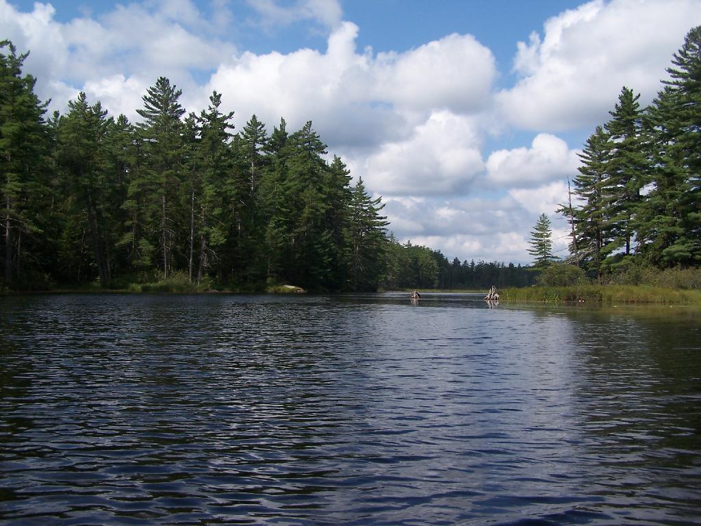
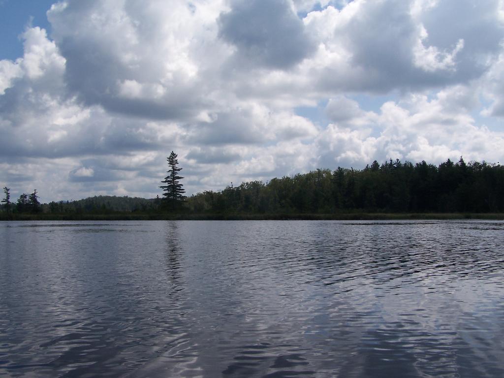
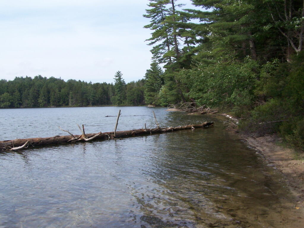
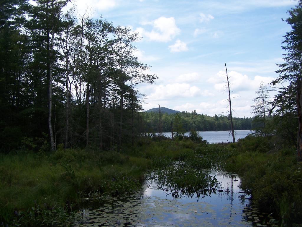
Bog River Open Up A Little Bit. The first mile or so of the Bog River Flow is mostly flooded stream. But as you get closer to Hitchens Pond, it starts to widen a bit.
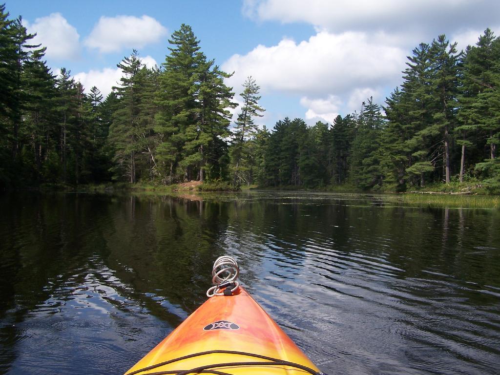
Entering Hitchens Pond. Just past here, is a hairpin turn, as the flooded River, winds a bit, and becomes a much larger lake, in the form of a series of bays and marshes.
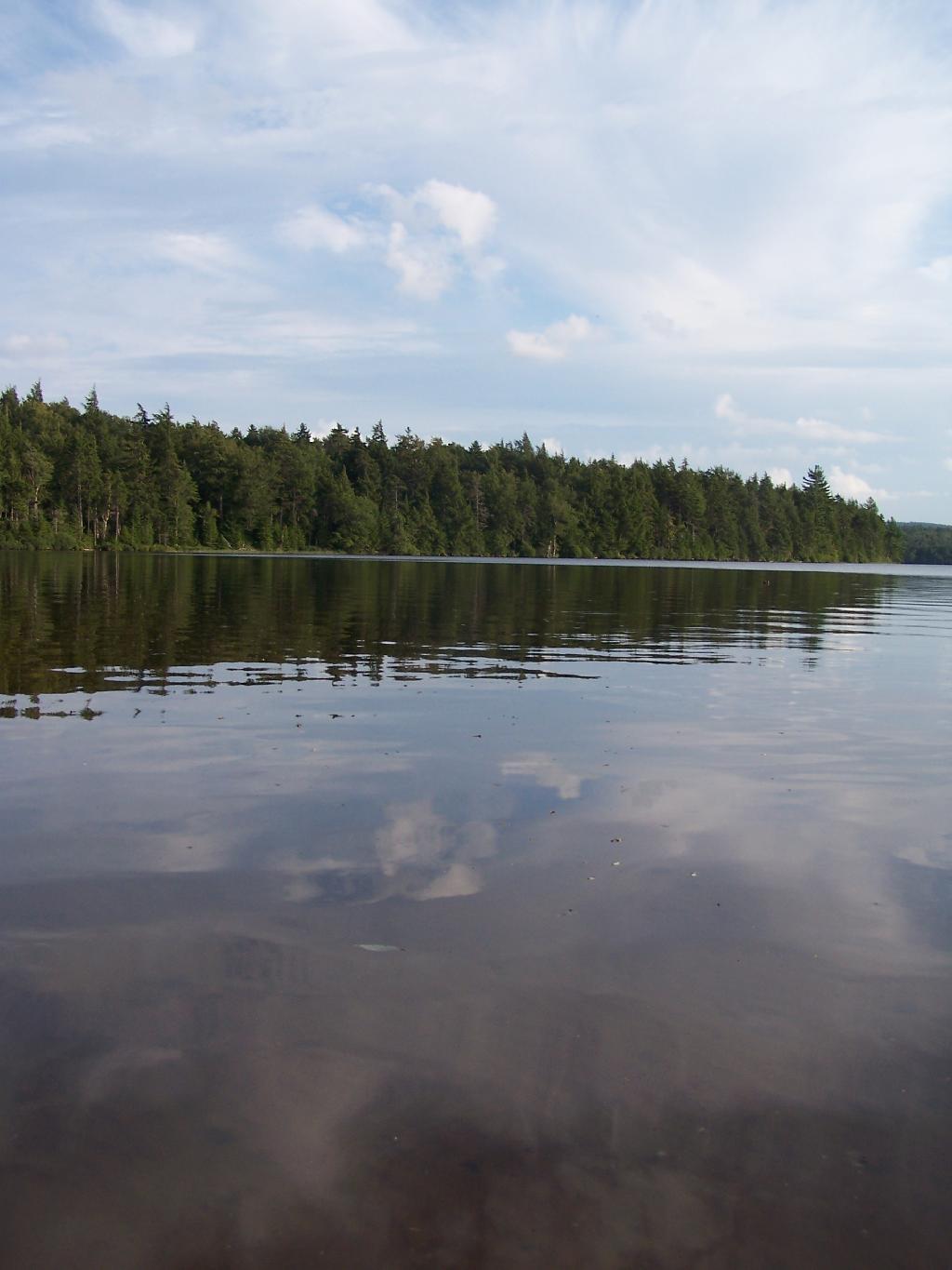
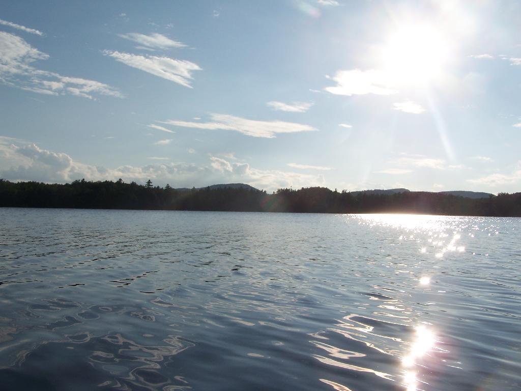
Hitchens Pond. Here things open up quite bit.
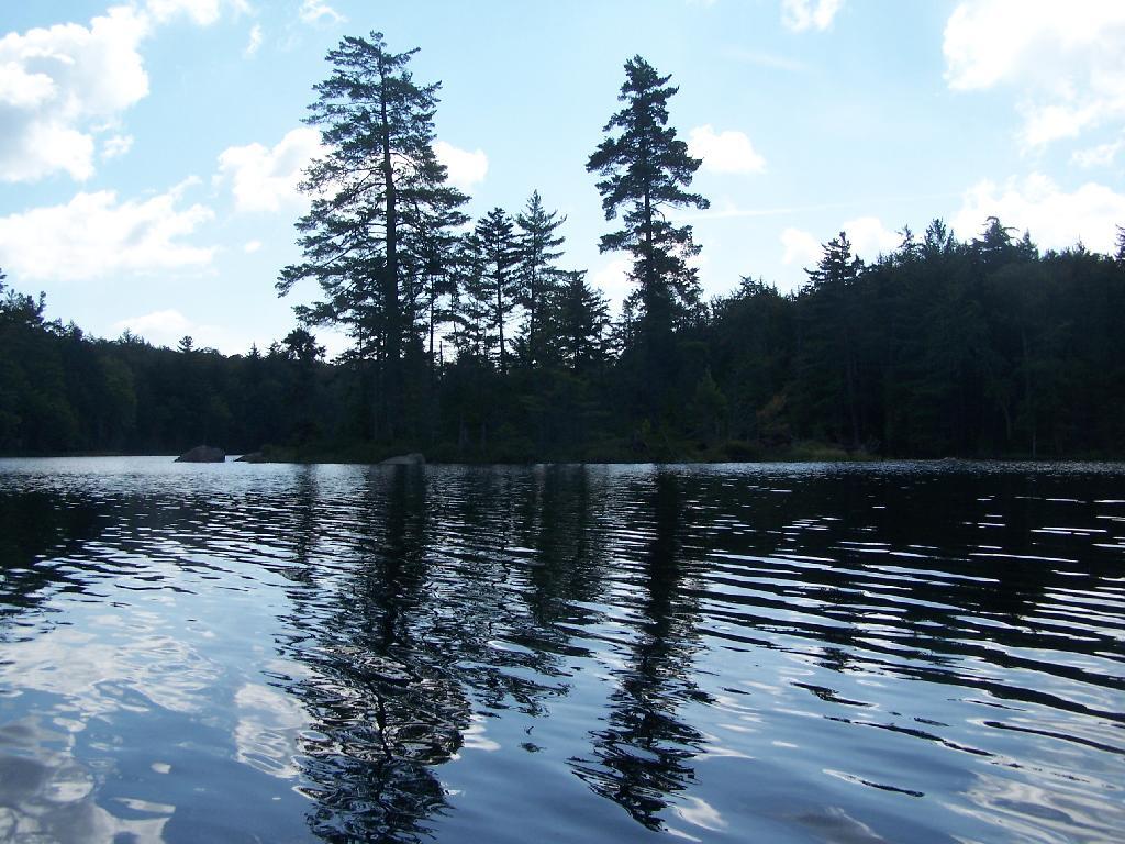
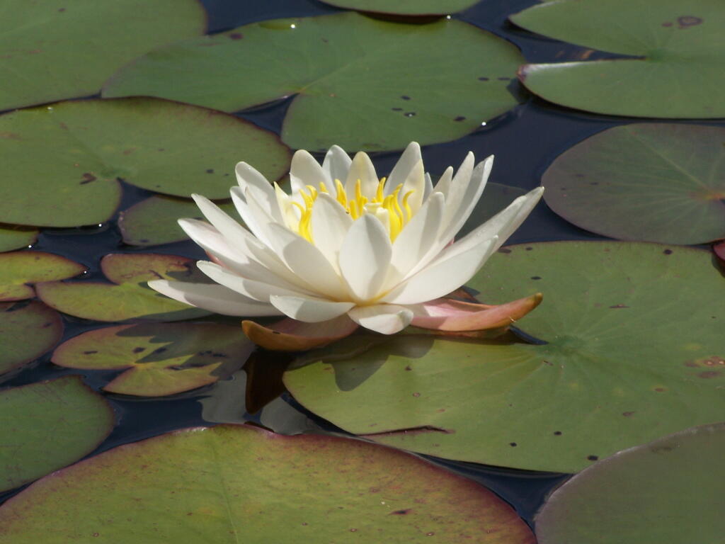
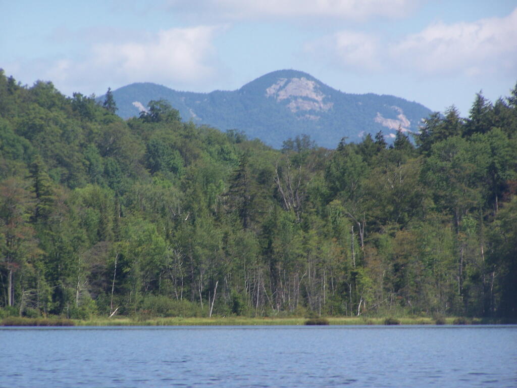
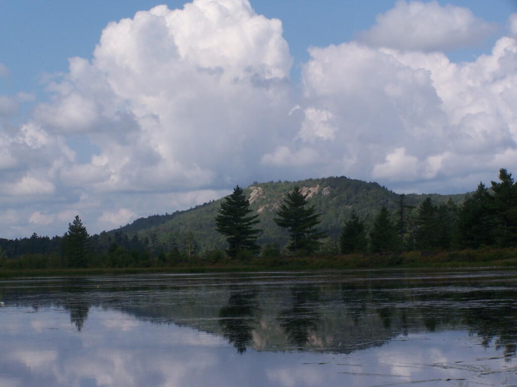
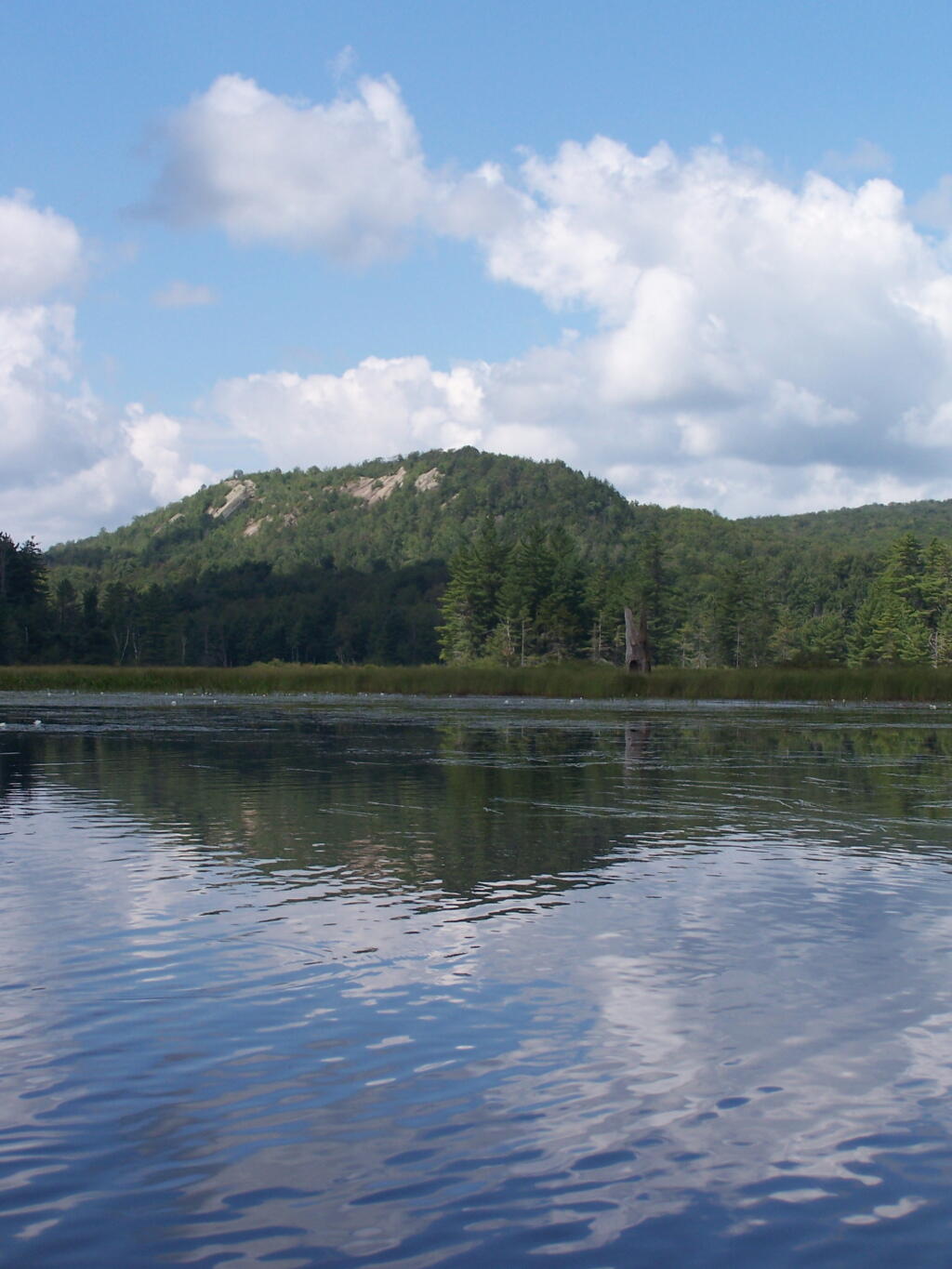
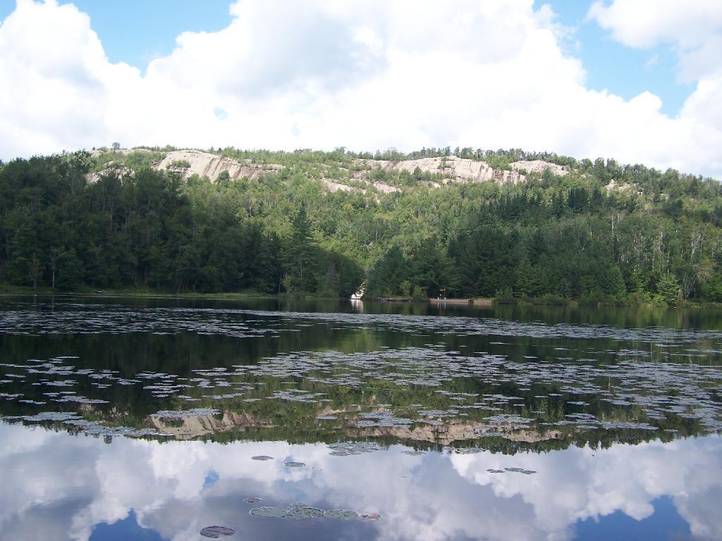
Lows Ledge. Here is Lows Ledge reflecting into Hitchins Pond. It’s much larger in person then it appears in this picture, unless you have a very big computer monitor.
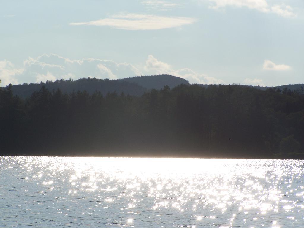
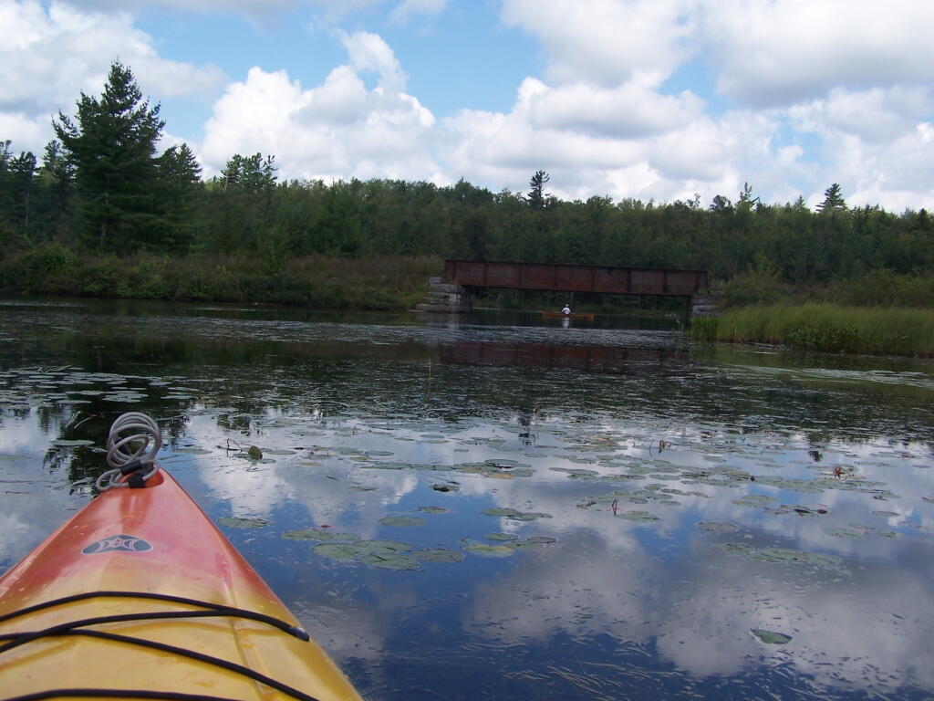
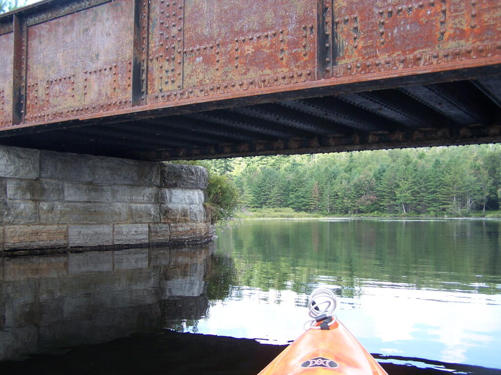
Railroad Bridge. About two miles into Bog River Flow, you cross under a relatively low railroad bridge. It’s actually about 5 or 6 feet above the flow, and doesn’t feel at all cramped in a canoe or kayak.
Under the Railroad Bridge. This shouldn’t be too bad to clear.
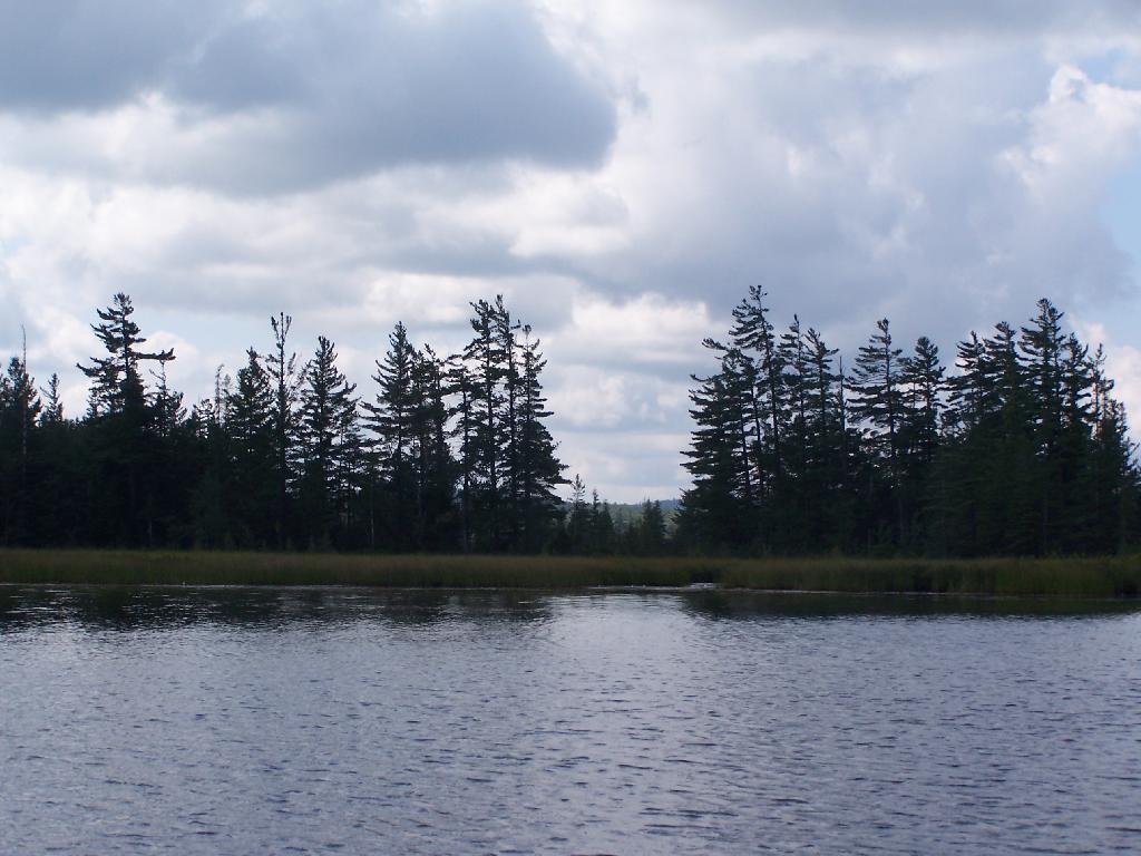
Trees Along Hitchens Pond. This picture can’t even reflect the beauty of this portion of Bog River Flow.
Break Time. Drinking all that beer, meant I had to find a place along the Flow to get out, stretch, and take a piss. Things being so boggy and soft in parts, meant there wasn’t a lot of open area to take a break.
Lows Ledge. I’m now about halfway between Lows Lower Dam and Lows Upper Dam, as the ledge reflects beautifully into the lake. It’s a very spiritual thing for sure, paddling along through this lake.
Clouds Rolling Out. To the south, it looked still quite cloudy. But there was something quiet spiritual about the area, and quiet vast. Something also spoke to me as being Saint Lawrence County, and as vast as one would expect the biggest county in the state to be.
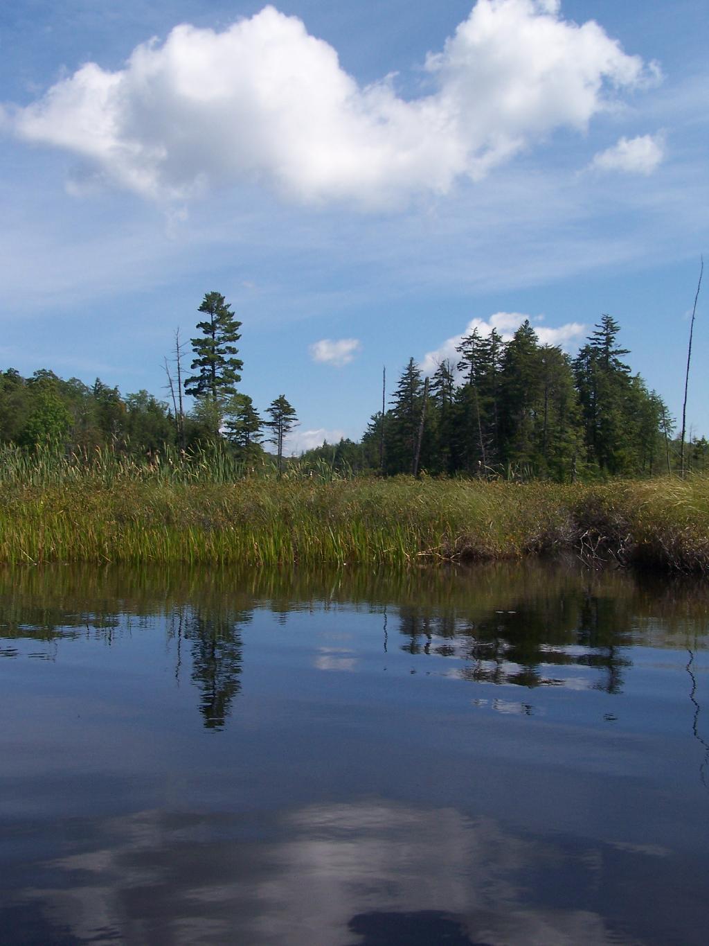
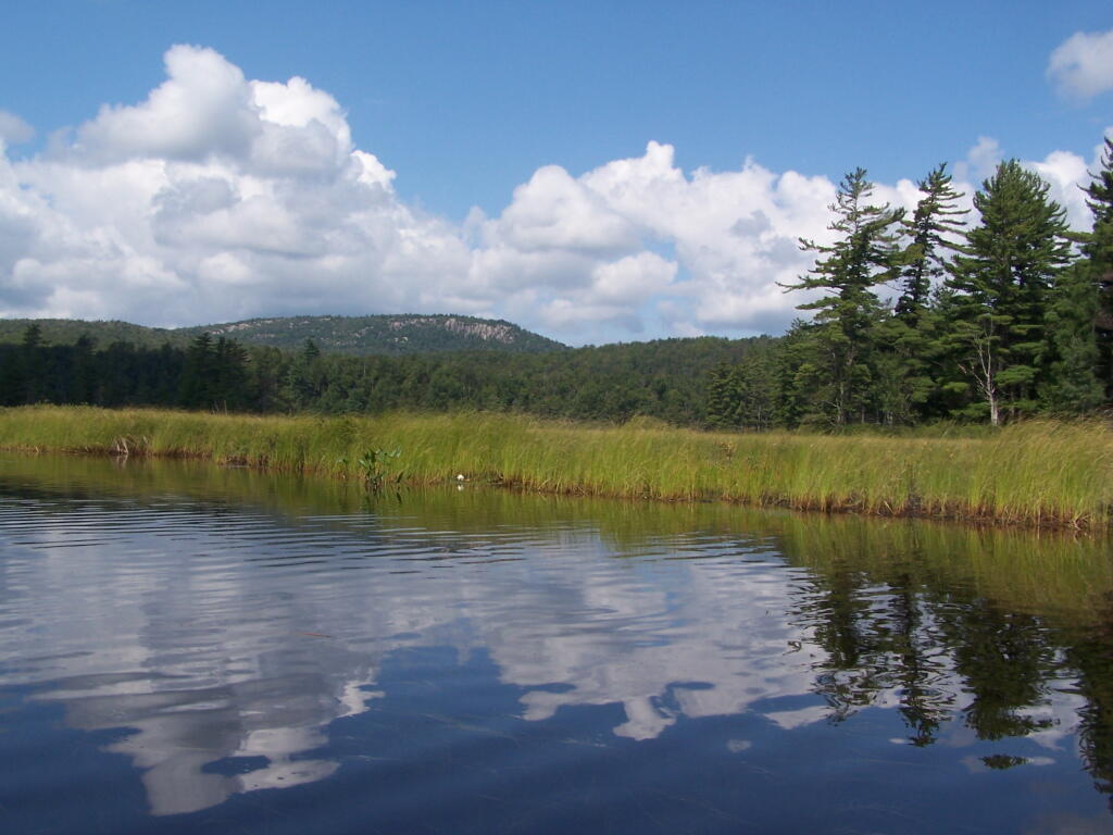
The Channel. The lake turns once again, with beautiful marsh lands along the edge of the lake.
Marshy. Portions of Hitchens Pond are quite marshy, and can be tough going, especially if one gets out of the channel.
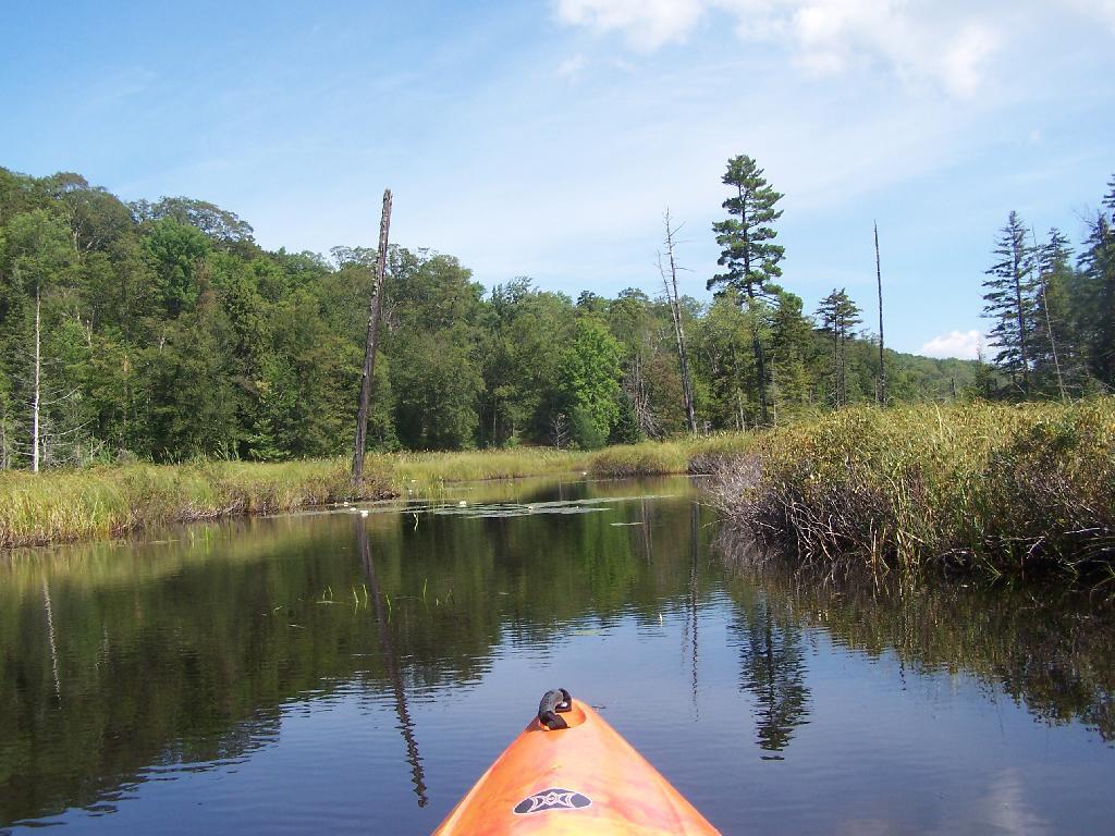
Trees. These trees line the last big turn at Hitchens Pond, where you finally get into the main bay, as you head towards the Upper Lows Dam.
Marshland. Along Hitchens Pond as we get closer to Lows Upper Dam.
Lows Ledge. Now we are almost up to the portage for Lows Upper Dam. Quite purty I must say.
Kayakers Pull Out. You have to pull your boat out of the water, and carry it over the Lows Lake Upper Dam, about a 10 feet elevation, and maybe a 50 foot portage.
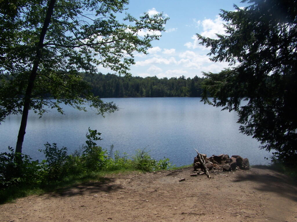
Bog River Area Pull Off. A lot of people pull out here, for lunch. Or they can be fools, and not use the channel to bottom of the dam, and carry their canoes, an additional 1/4 mile for no real purpose, to get it over the Lows Upper Dam. Not like I would be that stupid, now right? Of course, I just covered my camera with beer, so I shouldn’t be opening my mouth.
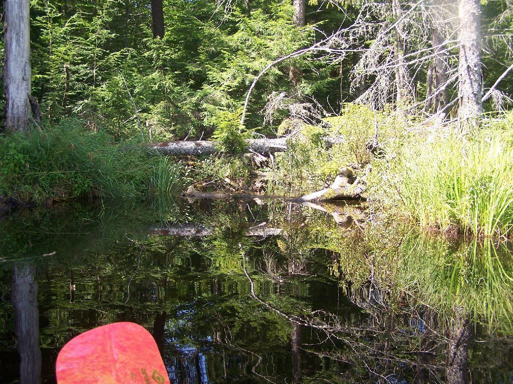
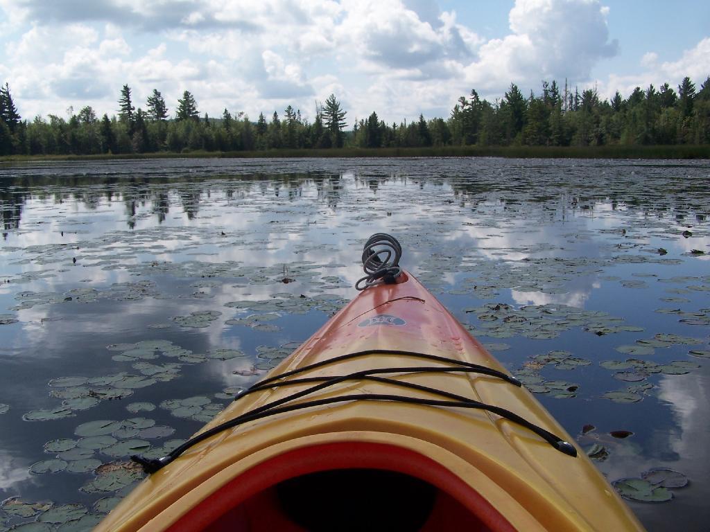
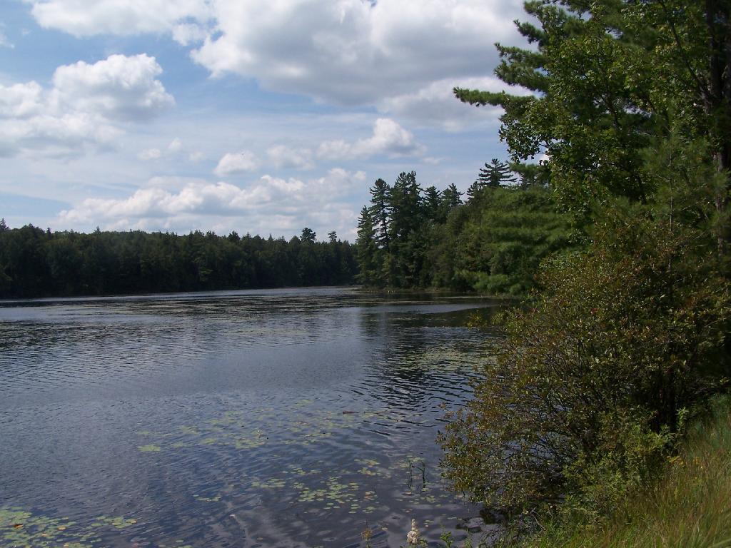
Lows Upper Dam. This is the last picture I got for the day, because I dropped the camera in a pool of beer in kayak, and things go wet. Eventually the camera dried out and started to work fine, but for now, we have to go pictureless. From here, the bottom portion of Lows Lake proper, above the Upper Lows dam, is much like the bottom part of Hitchens Pond, narrow, deep channel, that widens up.
Above Upper Lows Dam. This is the channel above the Upper Lows Dam, which technically is Lows Lake now. About a mile up from here, the lake gets shallow, and you must portage up into the more open Lows Lake main section. Yes, the camera lens has beer in it, that now has to dry out before I can take any more pictures. Nothing until tomorrow. It’s my Friday the 13th luck and stupidity of leaving the camera in the kayak, not in it’s protective case, as I pull out, and spilled beer soaks everything.
Fish Creek Ponds is a series of largely connected ponds in Northern Adirondacks, North of Tupper Lake. On Floodwood Road, there are series of 15 free drive in campsites one can camp at, with about half of them located on various lakes along Floodwood Road. On Friday night, August 13, I camped out at Poliwog Pond, and then paddled around it a bit in the evening, and then again in the morning. I also drove out around Floodwood Road, to look at the ponds and other campsites along it.
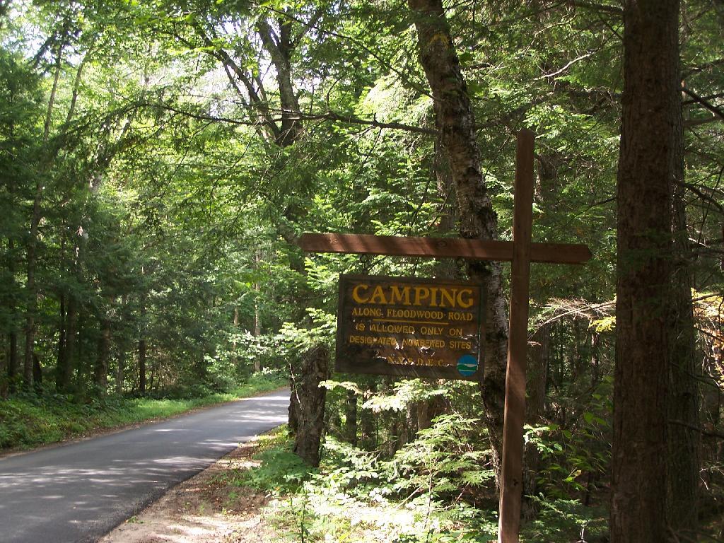
Camping Only At Designated Sites. This sign is found along the beginning of Floodwood Road, prior to the blacktop running out. There are 15 sites, that appear not to be fully used, on this lake.
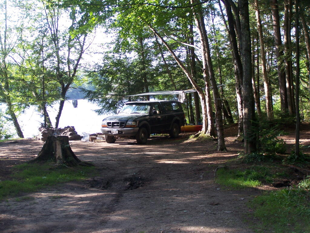
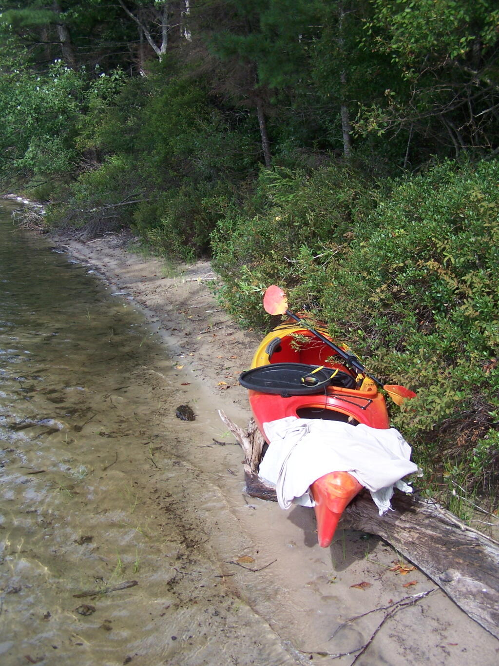
Campsite on Polliwog Pond that I stayed at on August 13th. This site would be truly the most perfect in the world, except for being so close to another one and the fact that the beach area next to the site was kind of swampy and not nice.
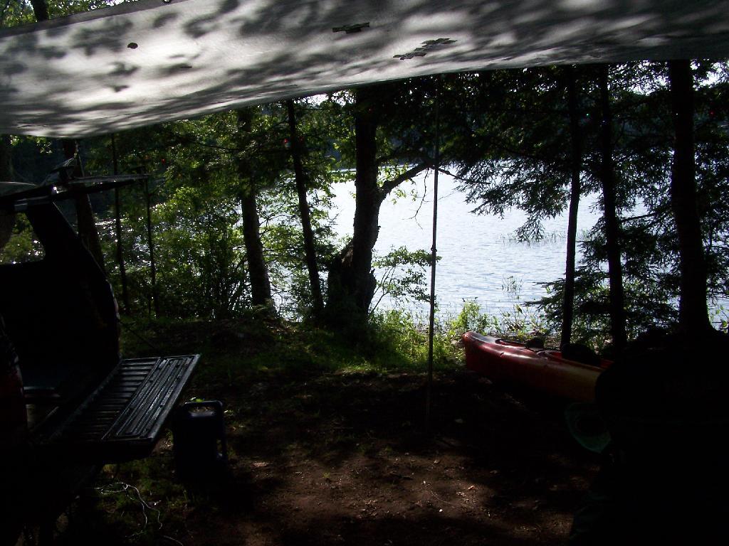
Under the Tarp. While when I was up at Poliwog Pond I didn’t really need the tarp, I set up a tarp. It was a beautiful day out for sure down here, right on the pond. The tarp was easy to set up, with the plentiful trees to make it easy to tie up.
Laying Back in Truck Cap. Ah, mornings. Lazy times. But then again, I got to paddle around the lake, get some pictures, pack up and head north. So be it.
Private Bay for Swimming. Once I started to get ready, I put on my swimming trunks, paddled across the lake, around an peninsula, to a very private bay. I took a “bath” using the teapot, soap, and shampoo on the bank, washed the soap off, then went swimming in my own little private beach. Nobody else was around! It was wonderful.
Perfect Area for Swimming. The downed tree blocked the waves, it was sandy beach. I really liked this area a lot.
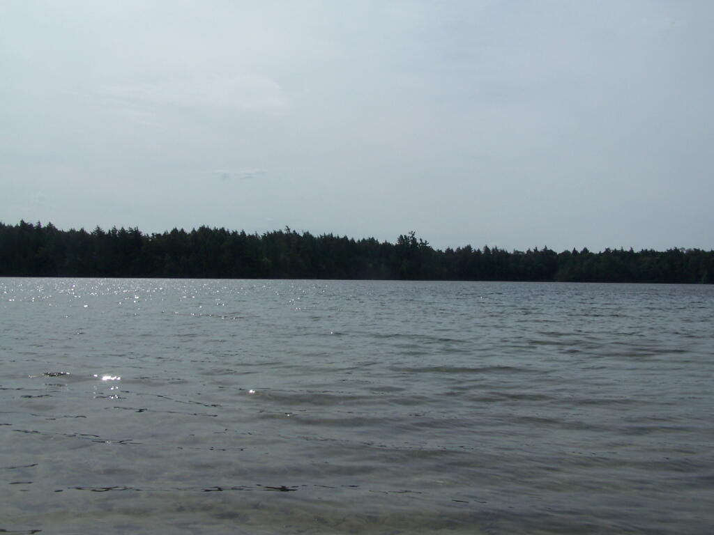
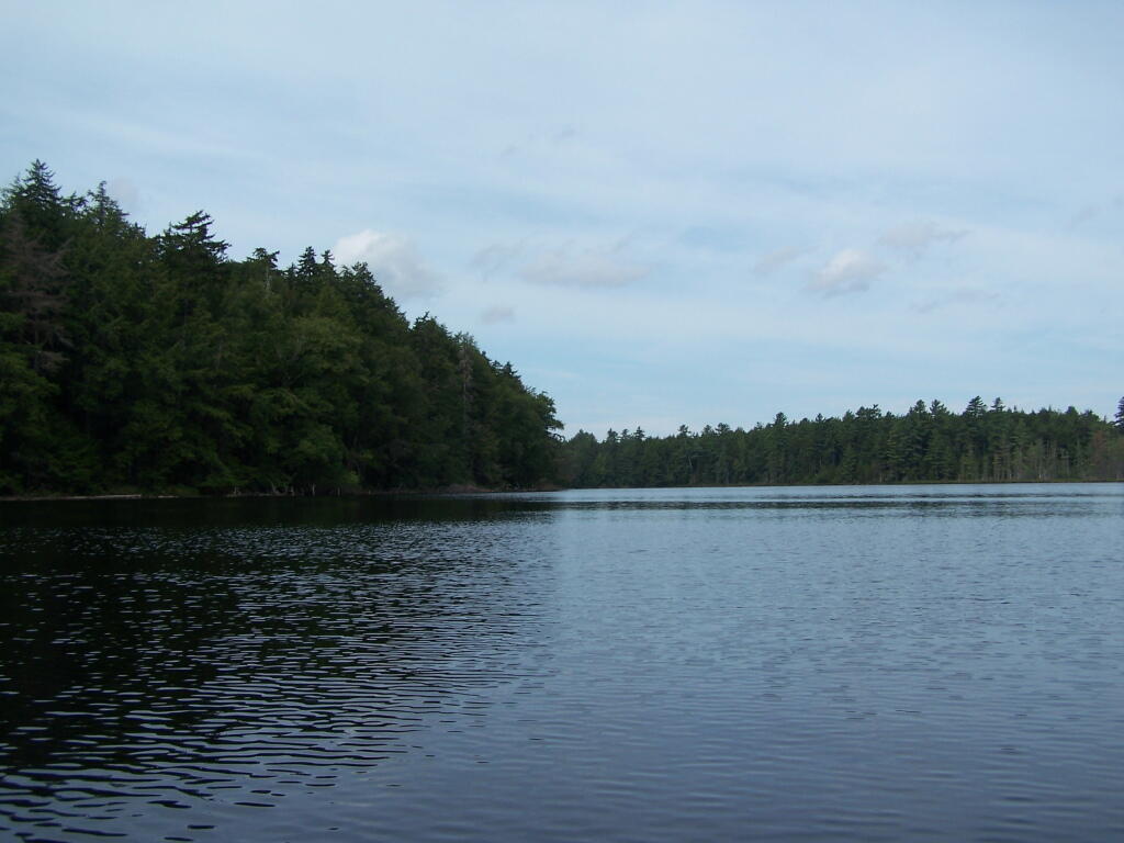
Across Poliwog Pond. It’s a remarkably hazy summer day. This is from the south bay of the pond, where I was swimming and getting cleaned up in the morning.
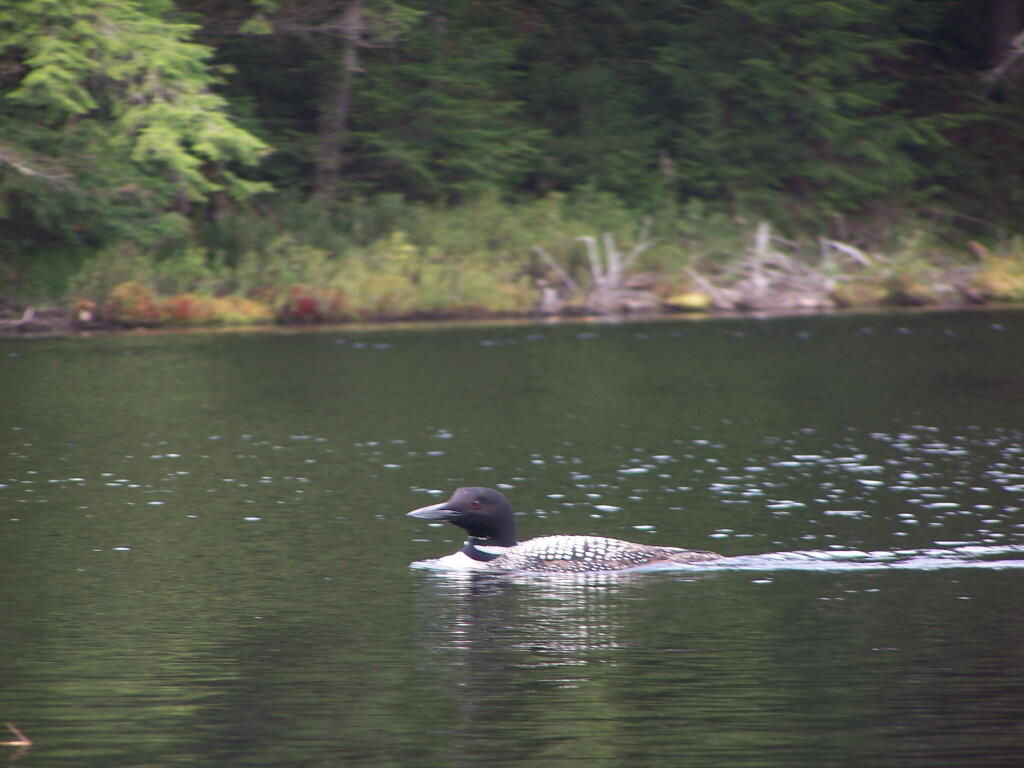
Loon. Throughout the night at Poliwog Pond, there was loon calling back and forth. This is located on the western bay of Poliwog Pond.
Western Bay of Poliwog Pond. There was somebody camping up on the banks, but other then that it was relatively quiet.
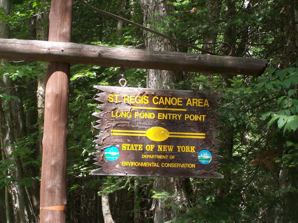
Long Pond Entrance. While I didn’t get a chance to haul my kayak into Long Pond, and do some paddling around there, this is the access point fo the Saint Regis Canoe area. It looked very popular.
Swamp Across from East Pond. This was located directly across East Pond on Floodwood Road.
East Pond. On Floodwood Road. Looked quite pretty. There is one drive-in campsite in here, along with an accessible boat dock.
Middle Pond. On Floodwood Pond road. There also is a large drive-in campsite on Middle Pond.
Floodwood Road. There are 15 drive in campsites on this very dusty dirt road, that is heavily traveled, mostly by people heading to the Boy Scout Camp and the Saint Regis Canoe Area. This along Middle Pond.
Floodwood Road at Franklin County. This is where you cross from being in very remote Town of Altamont to Santa Clara. Pretty area for sure.
Here is a map of Floodwood Road, Polliwog Pond, and surrounding ponds.
Horseshoe Lake is located on South Eastern Saint Lawrence County, on a dead end state highway, NY 421, a spur from NY 30 South of Tupper Lake. It offers 6 campsites scattered along the lake, with 6 others on nearby roads. It is also near the Bog River Flow Canoe/Kayak Area.
Six Miles to Horseshoe Lake. This is the turn off for NY 421, one of the strangest state highways in the state. It is a dead ended highway, that leads to gravel roads around Horseshoe Lake and Bog River Flow. It is very twisty and narrow, and portions have not been resurfaced in over 50 years.
Towards Mt Morris. Paddling across Horseshoe Lake. As you can see, the land around here is very flat, former timber country. In the distance is Mount Morris, near Tupper Lake.
Choppy Waters. The water was somewhat choppy on Horsehoe Lake as there was a steady breeze as the weather was clearing out.
Northeast Tip. This is the upper tip of the Horseshoe Lake, in the most North-Eastern portion.
Heading Around The U. Horseshoe Lake is fairly large, all things considered. The open bays can be a bit rough, especially when you get into the wider portion of the U in the horseshoe.
Blinding Sun. Heading West across the Lake, I was going directly in the path of sun at 7 PM. Even with sunglasses on, the sun was bright and painful, leading to a temporary sunblindness. I ended up tacking North-West then South-West to avoid the sun, and the choppiness of the water.
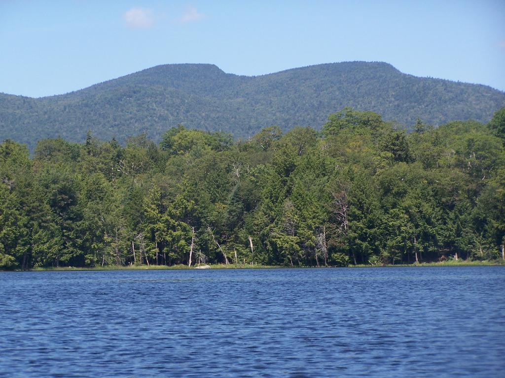
Glare. In the background rises Silver Lake Mountain, that beautiful ridge one sees most clearly from paddling around Hitchins Pond/Lows Lake in the Bog River Canoe Area.
Other End of Lake. This is where NY 421 first hits the lake, heading west on NY 421 from Mountain Camp. You could say that it’s other tip of the Horseshoe. About 3 campsites, spaced 1/2 mile apart, are located on the lake.
Mason Lake is located in the Adirondacks just off NY 30. It has primative camping, I camped their last night (August 10th), and also camped there on July 31.
It’s a two hour drive from Albany, so it’s not as far north as Moose River Plains, and can be done on a Friday night. It’s fairy popular, but there is usually some of the 6 out of 12 non-lake side campsites are always avaliable, and it’s not like it’s ever crowded on the lake in a boat.
I paddled down to the southern end of the lake, with a stream exiting Mason Lake. This part of the Jessup River is unpassable by kayak due to many trees crossing on it.
It was a beautiful day at Mason Lake with puffy clouds above.
Thru Swampy End of Mason Lake. You had to watch out for trees on the bottom that you could get hung up on.
Jessup River Road. As seen from the southern end of Mason Lake paddling around.
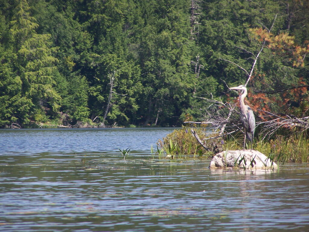
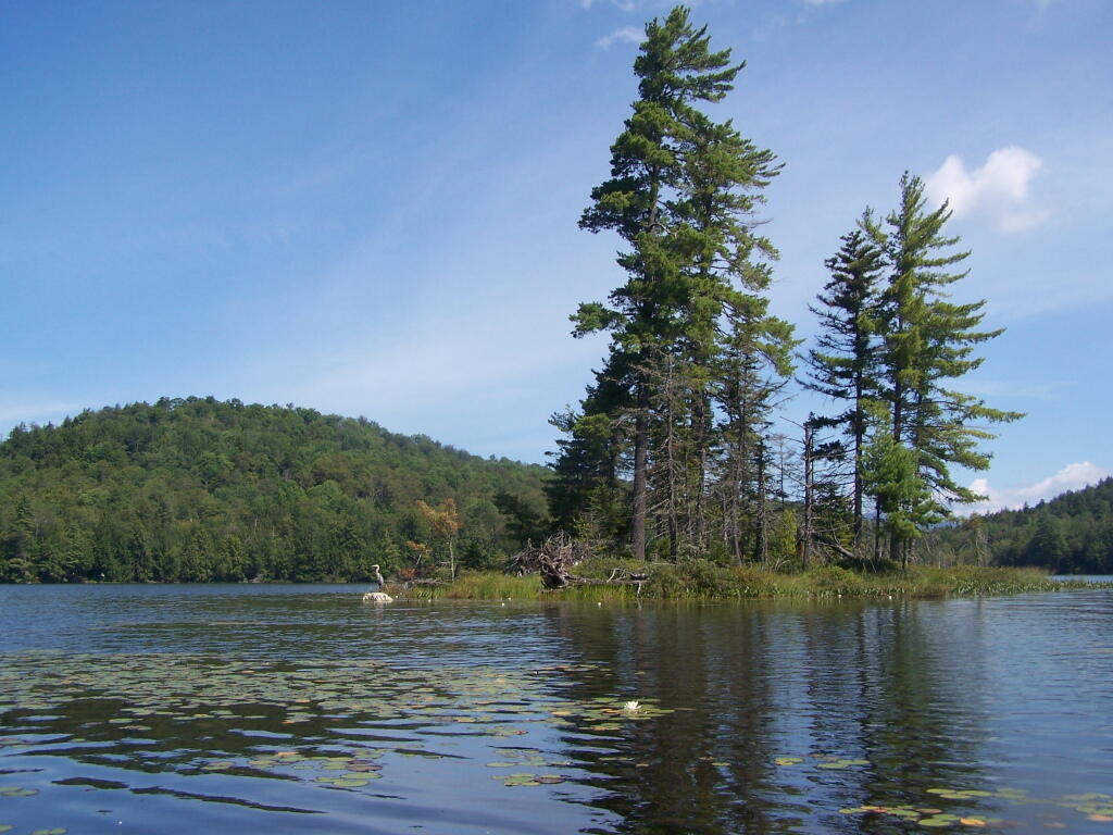
Great Blue Heron, standing tall on an Island on Mason Lake.
Snowy Mountain. As seen from the middle of Mason Lake.
Lower Blue Ridge. As seen from Mason Pond. Beyond this ridge is Moose River Plains and Cedar River Flow.
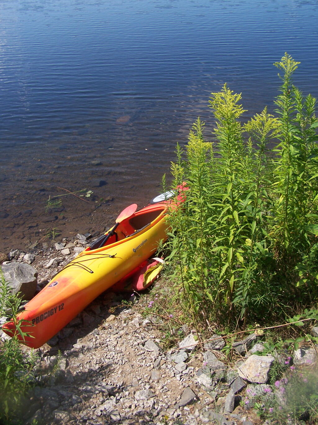
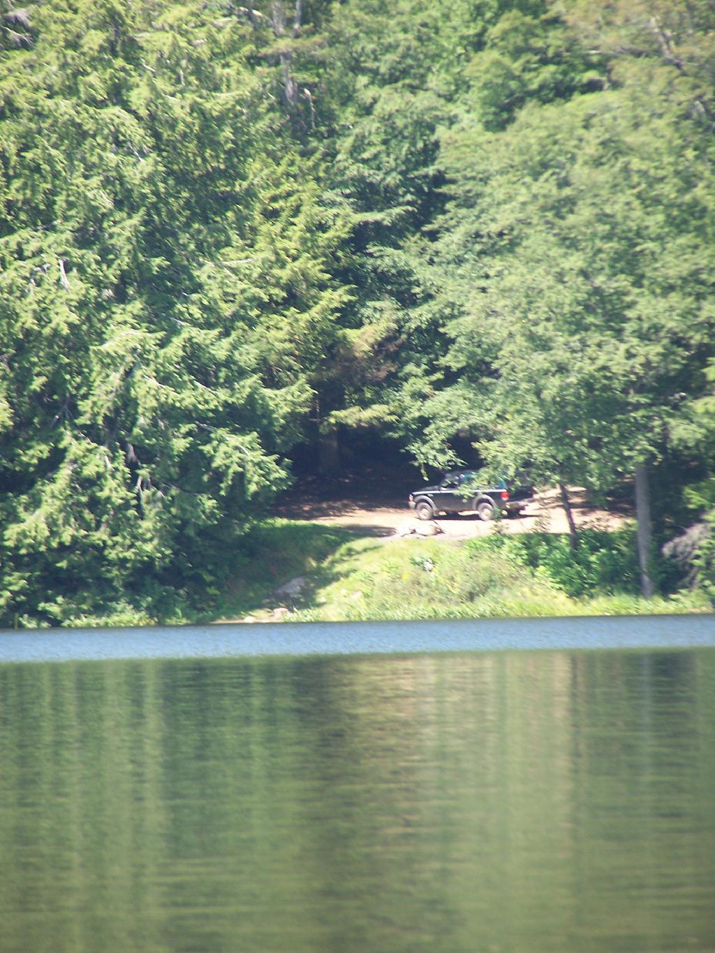
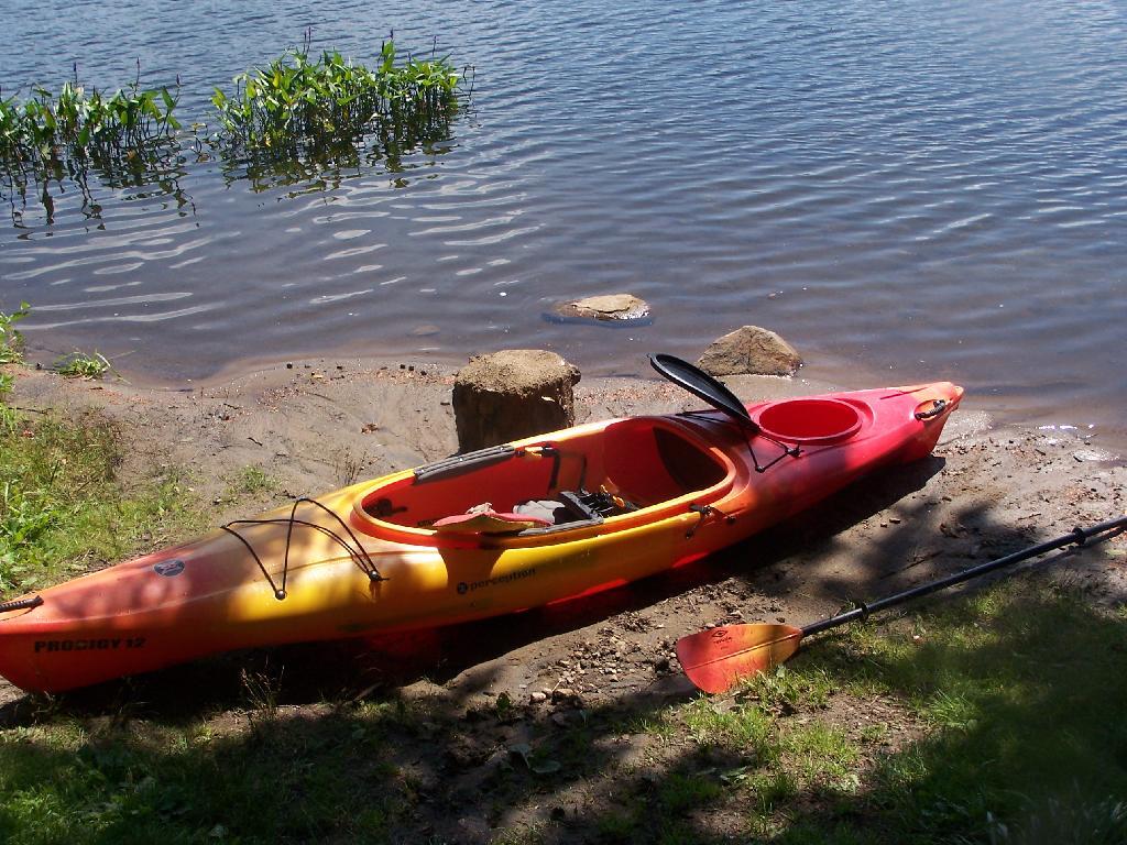
Kayak Parked at the Mason Lake Parking Area, where people pull off NY 30, totally oblivious to the camp sites across the lake.
Lakeside Campsite. This was the lake campsite at Mason Lake I camped out on Tuesday night. It was pretty nice that night, although I didn’t get any pictures, because I was dead tired after driving up two hours after work.
Truck’s All Packed. All I have to do now is put the kayak on the roof of my truck, and head north to Cedar River Flow for the next day of camping out.
Lake Side Parking. This by where I camped down at Mason Lake.
The campsite I stayed at with it’s views at Mason Lake. It was real nice.
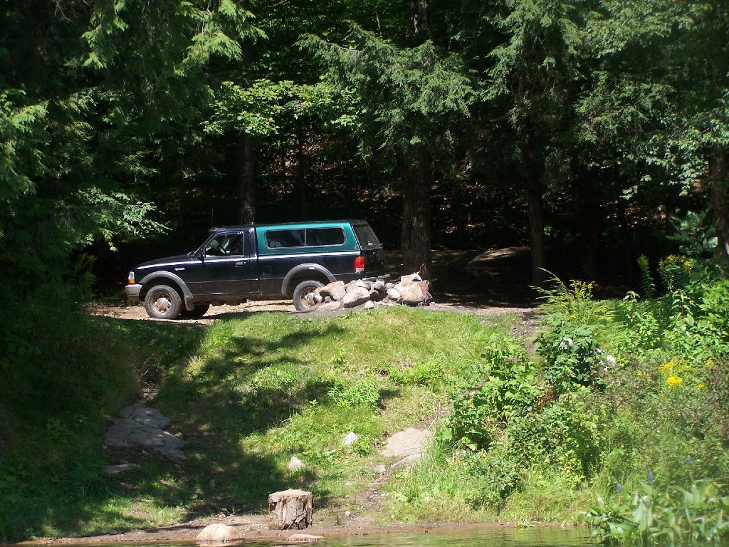
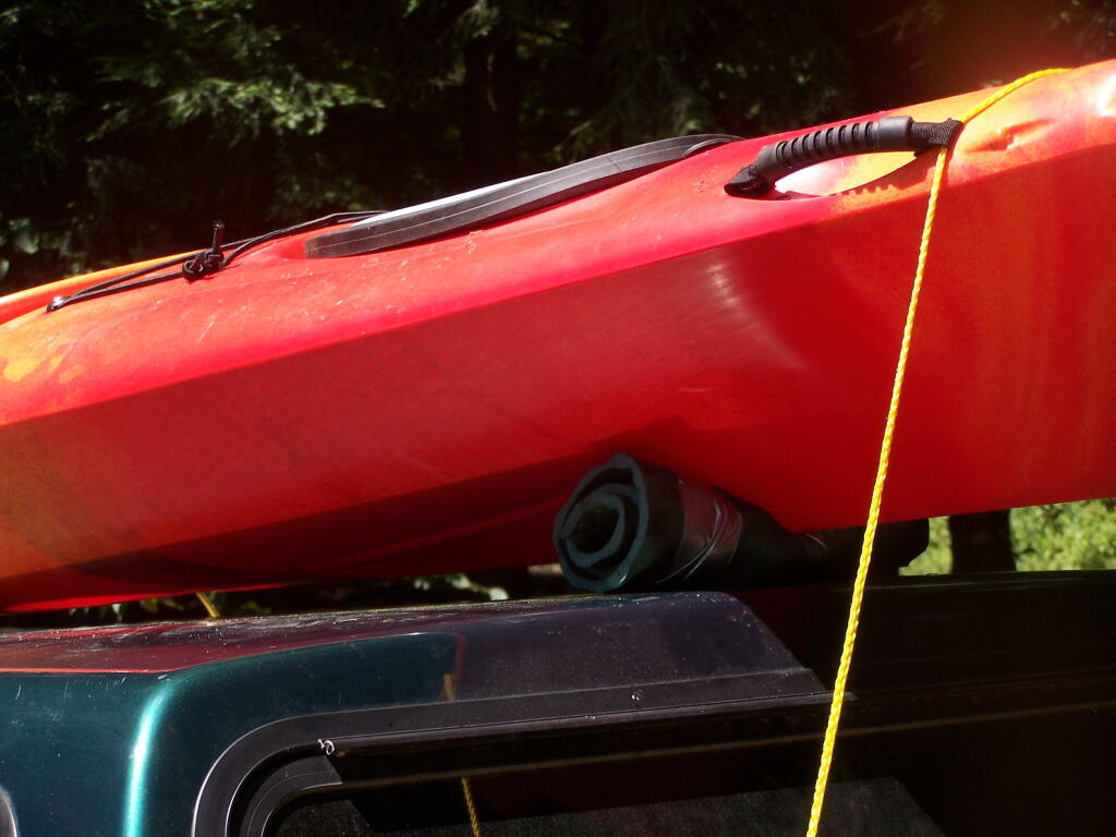
Styrofoam Canoe Blocks I Made. I cut up an old styrofoam sleeping pad, rolled it up, cut notches, and duck taped it all together. It worked well, far better then trying to let the kayak ride directly on the roof of the pickup.
Here is a map of the lake. 12 Campsites are located along Jessup River Road, 3 which are RV/truck accessible with water, 3 that tent sites, and about 6 nearby the water. It’s great.


")