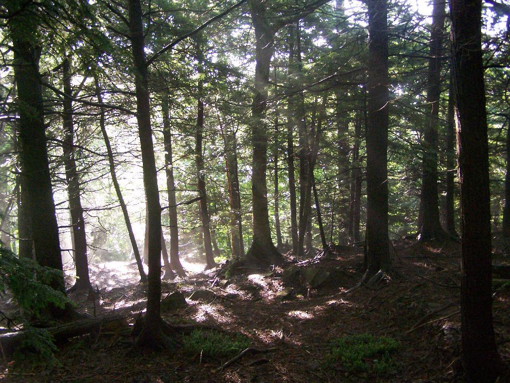
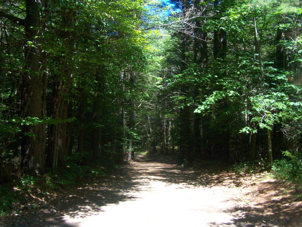
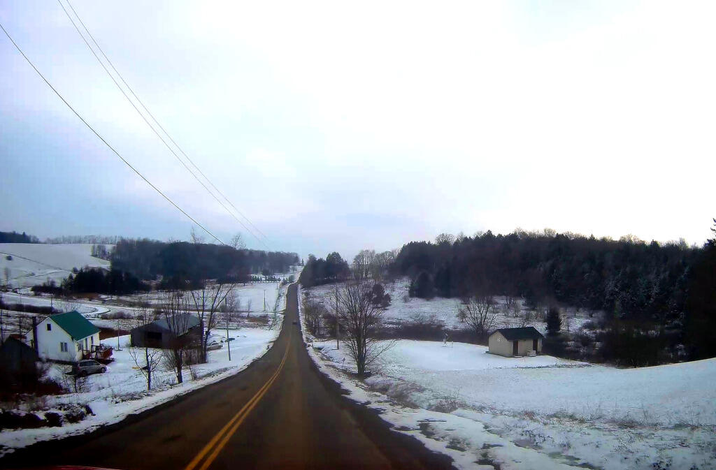
On Sunday I went for a hike a top of Twin Mountain. After getting up early on a Saturday morning, it was an interesting drive up Platte Clove Road in the morning. Everything was still wet in the woods from the previous night’s rain, it made some rather pretty god rays coming through the trees.
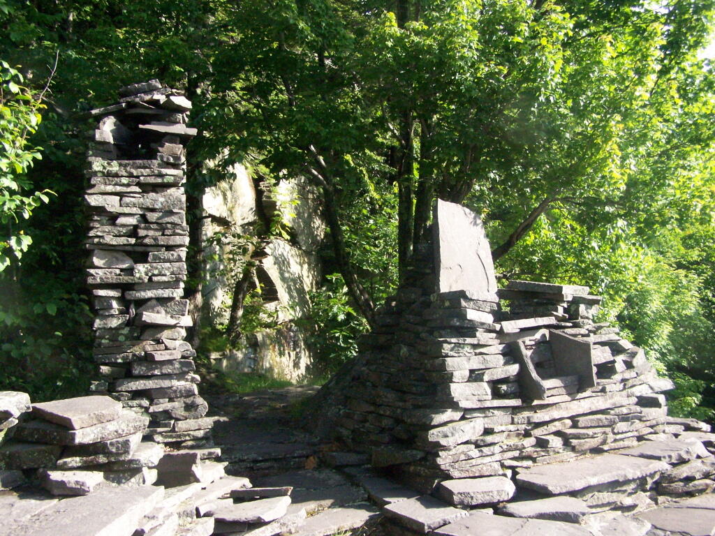
As you continue up the trail, there is a set of stone chairs in an old query.
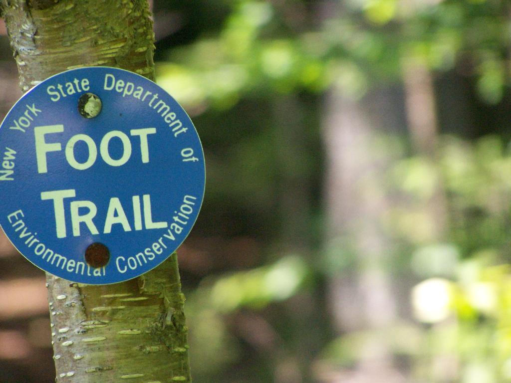
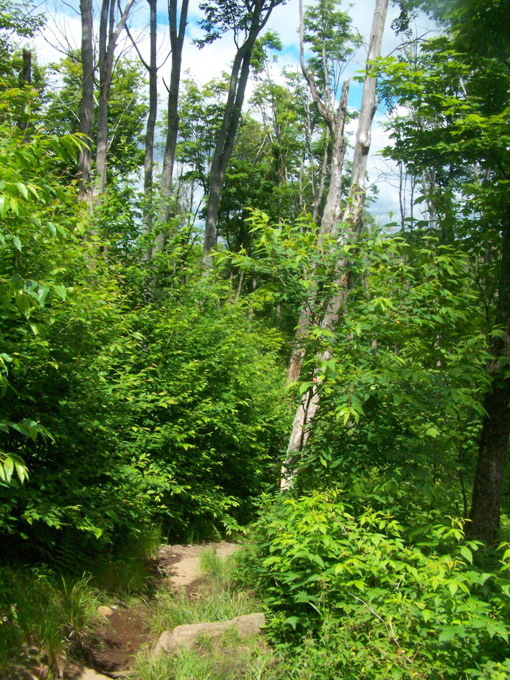
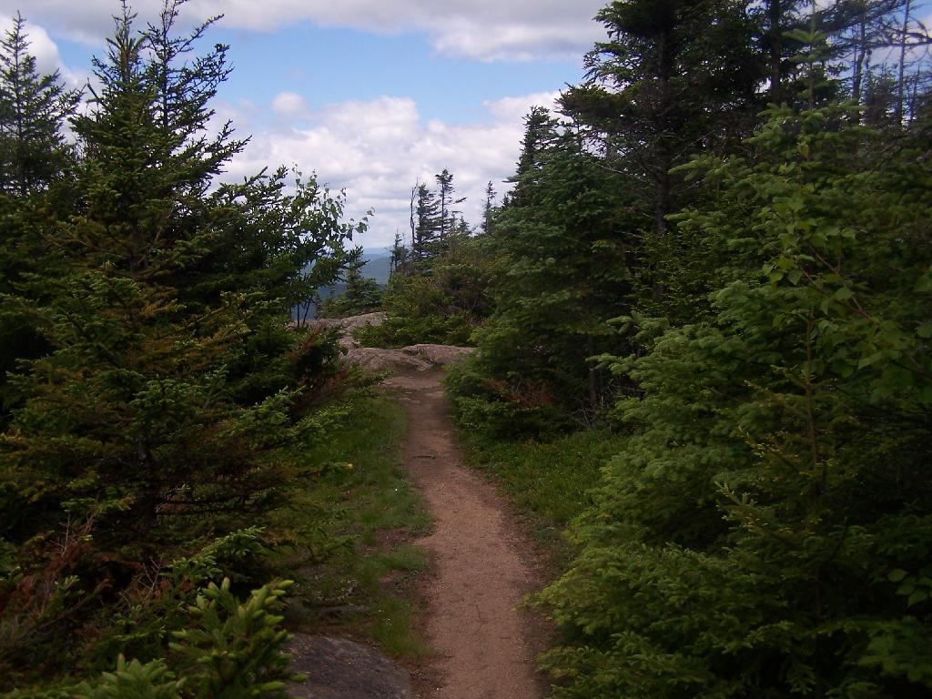
Following the Blue Trail.
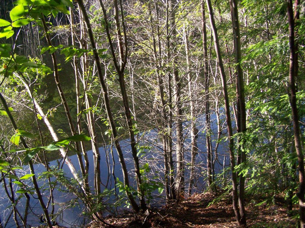
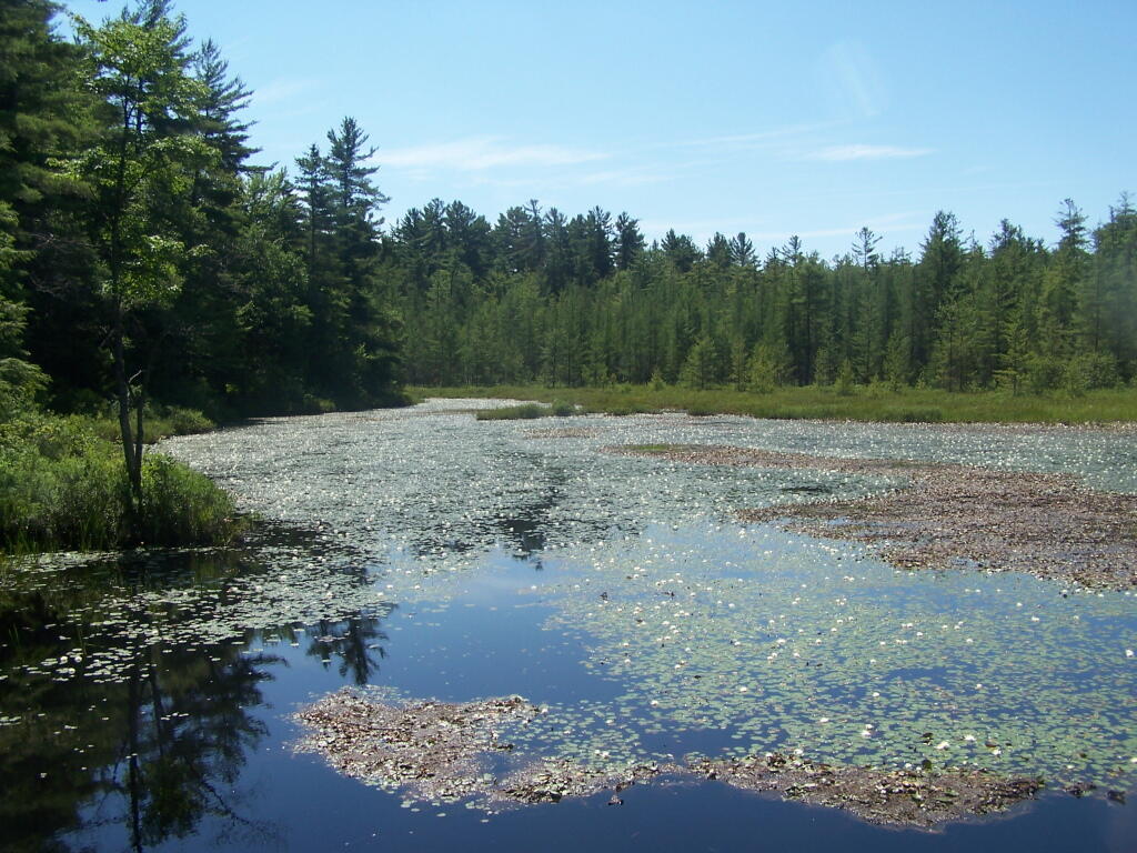
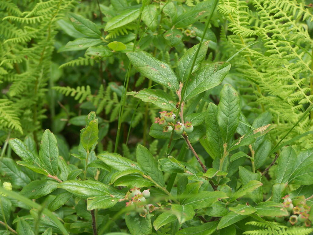
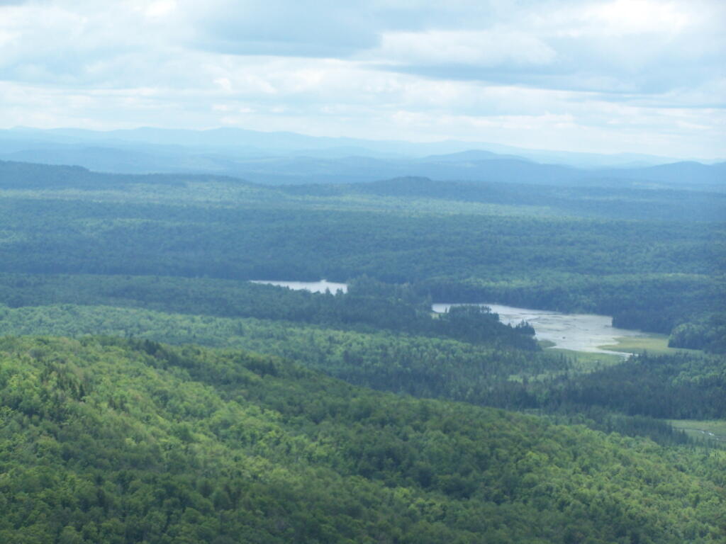
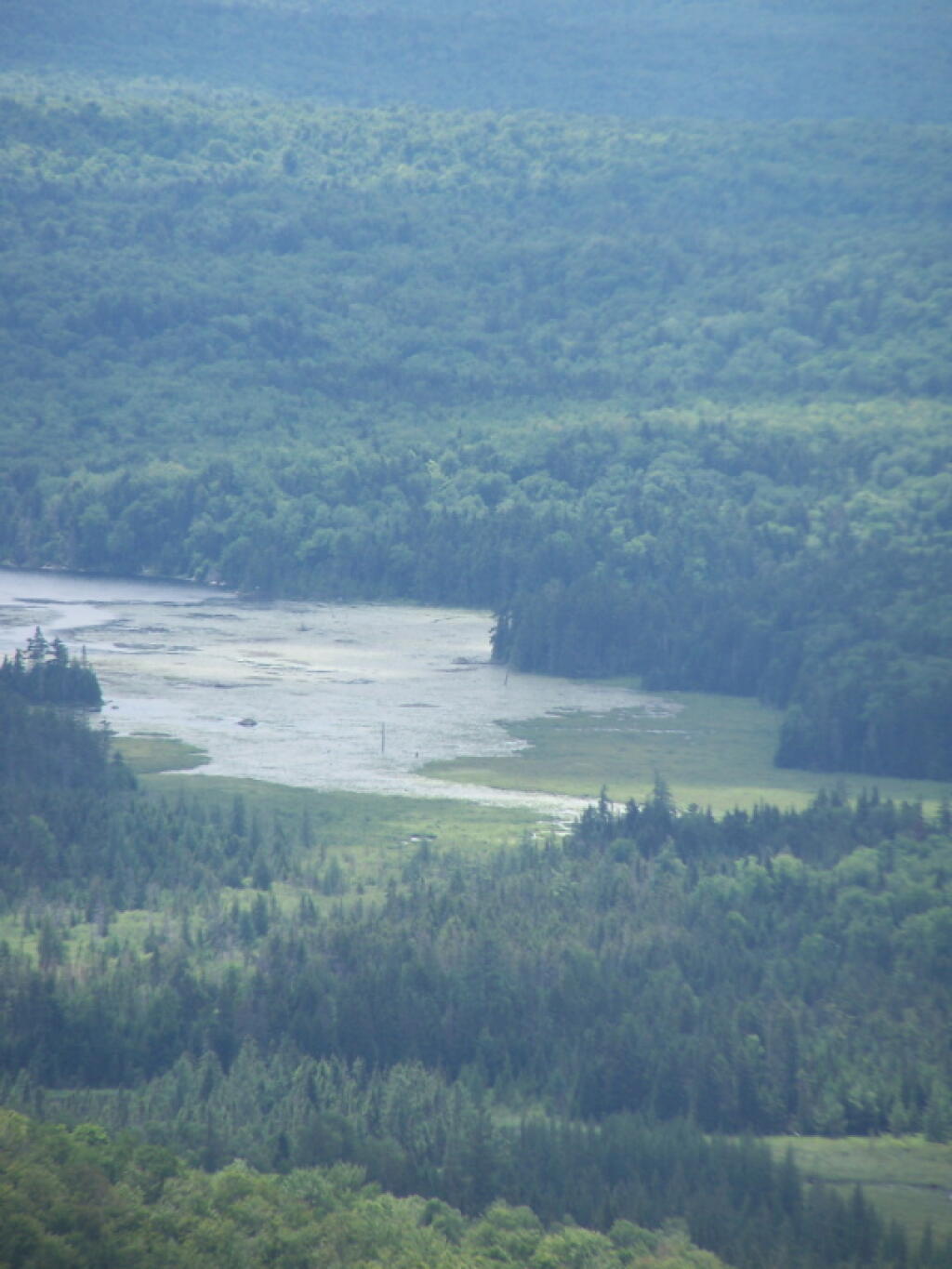
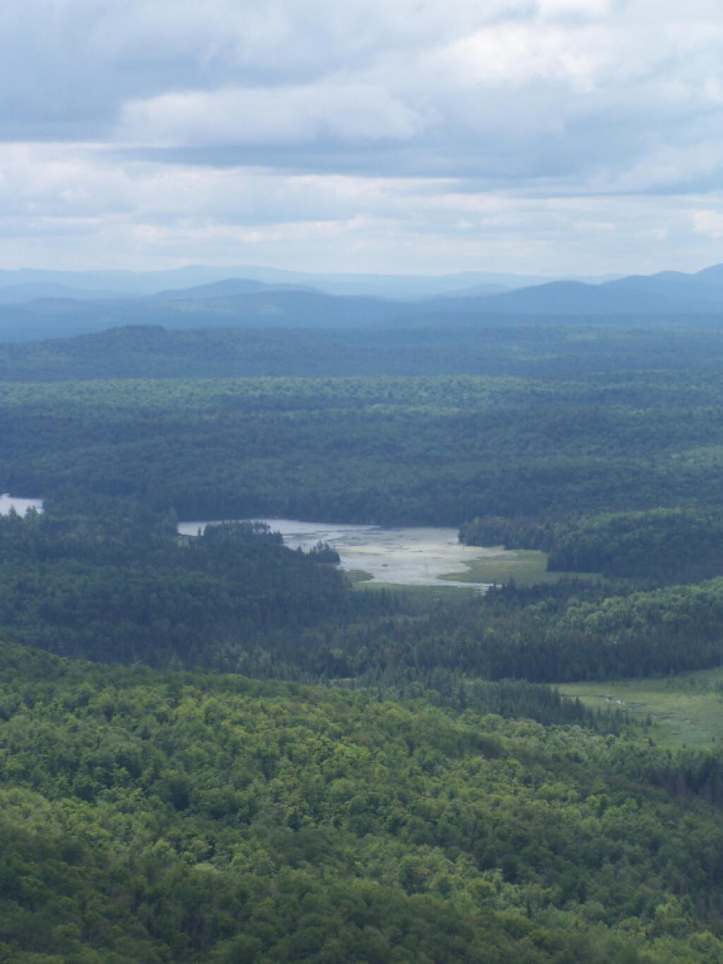
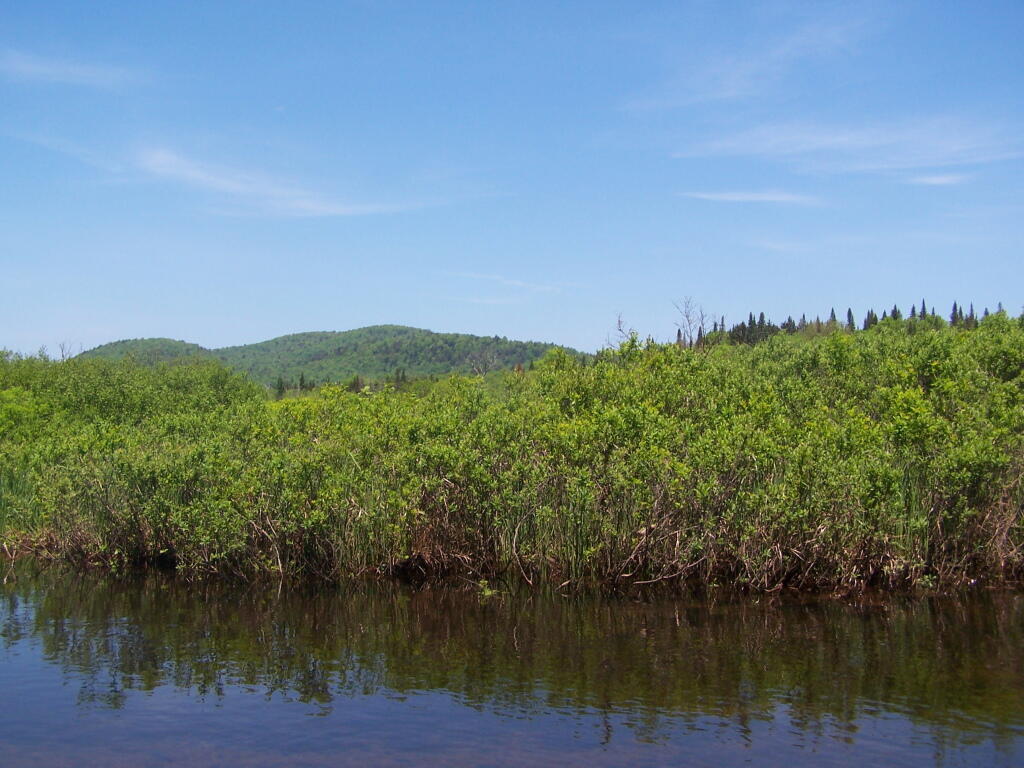
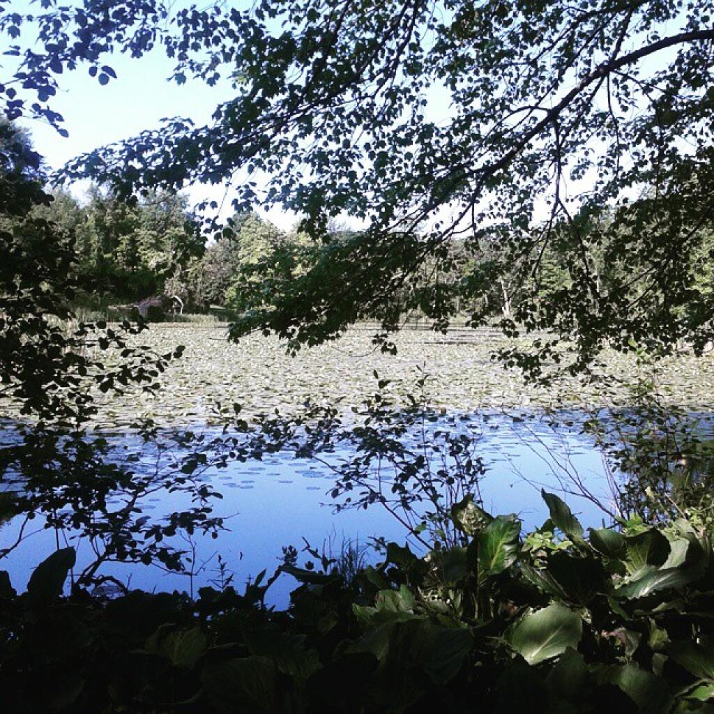
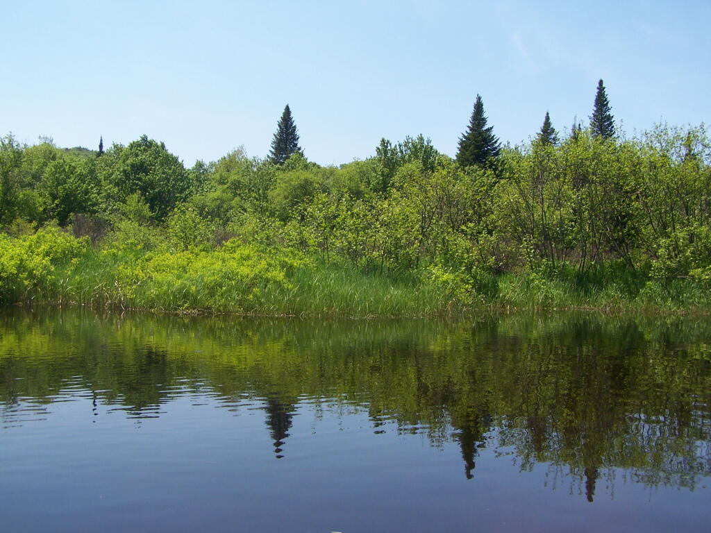
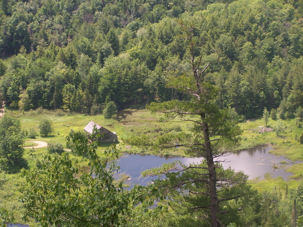
As you reach the the top of Pecoy’s notch there is a pretty Beaver Swamp between Twin and Sugar Loaf Mountains.
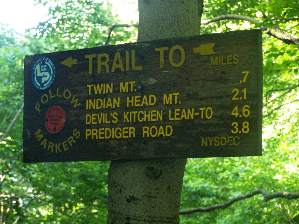
The sign to Twin Mountain says .7 miles remaining, but it’s a steep .7 miles to reach the top.
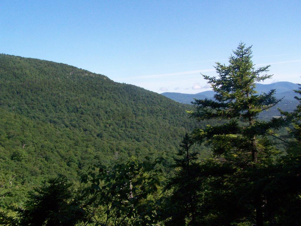
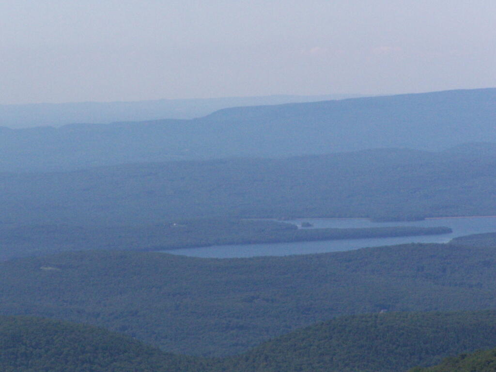
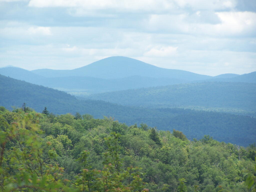
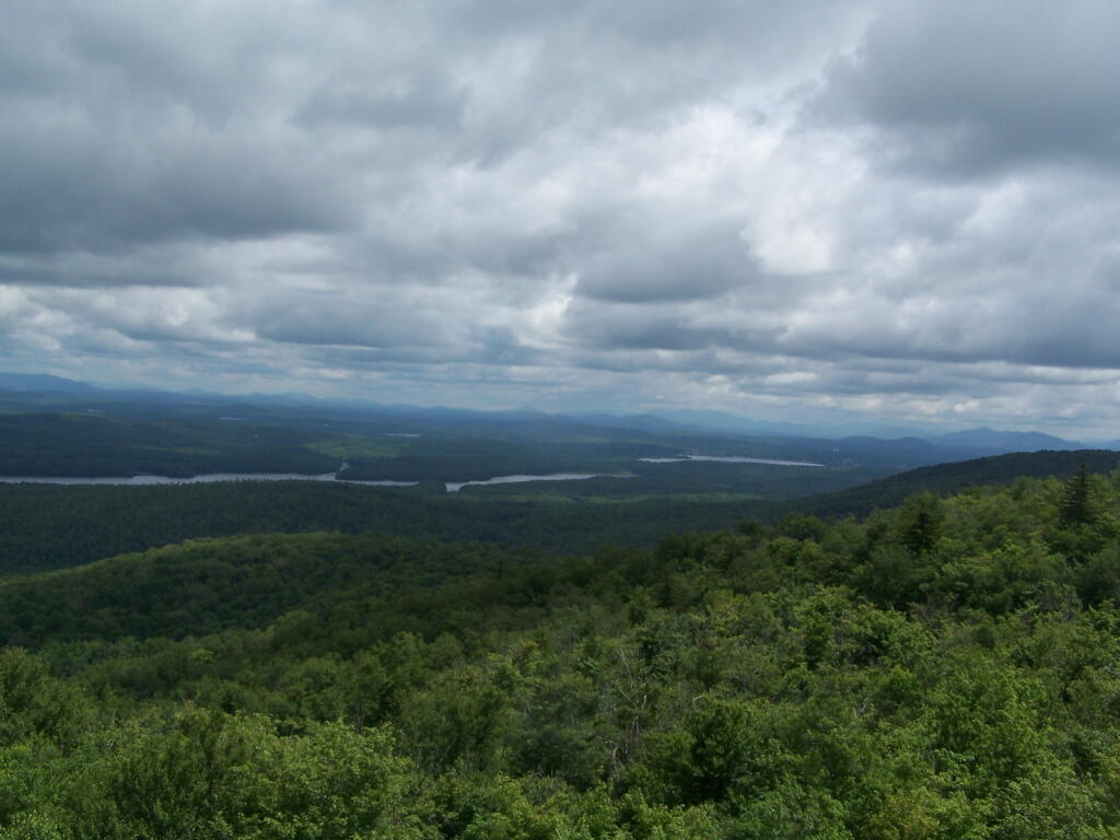
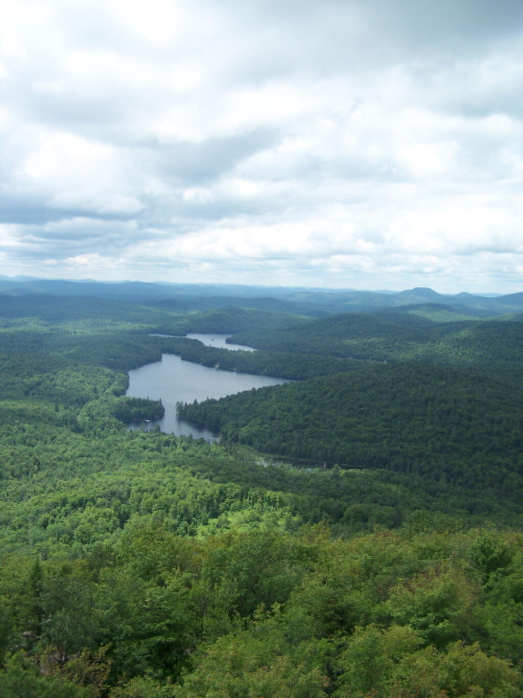
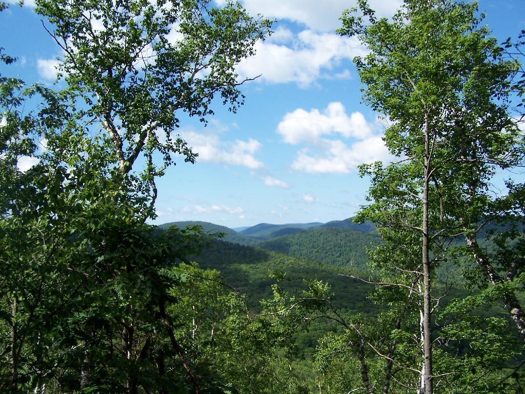
The views climbing the mountain show TriMount in the background and Sugar Loaf in the foreground.
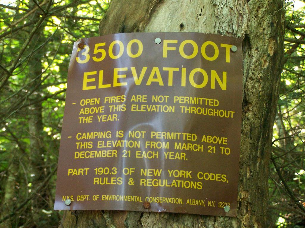
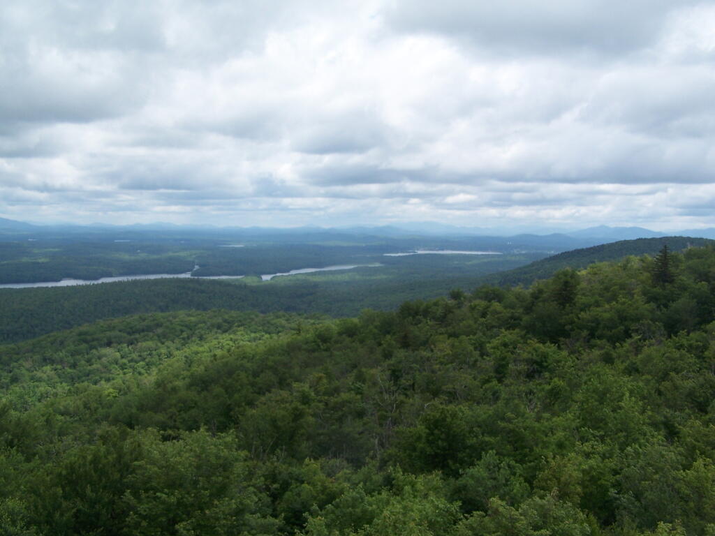
Finally you reach 3,500 feet elevation, and shortly there after the top of the western most peak of Twin Mountain.
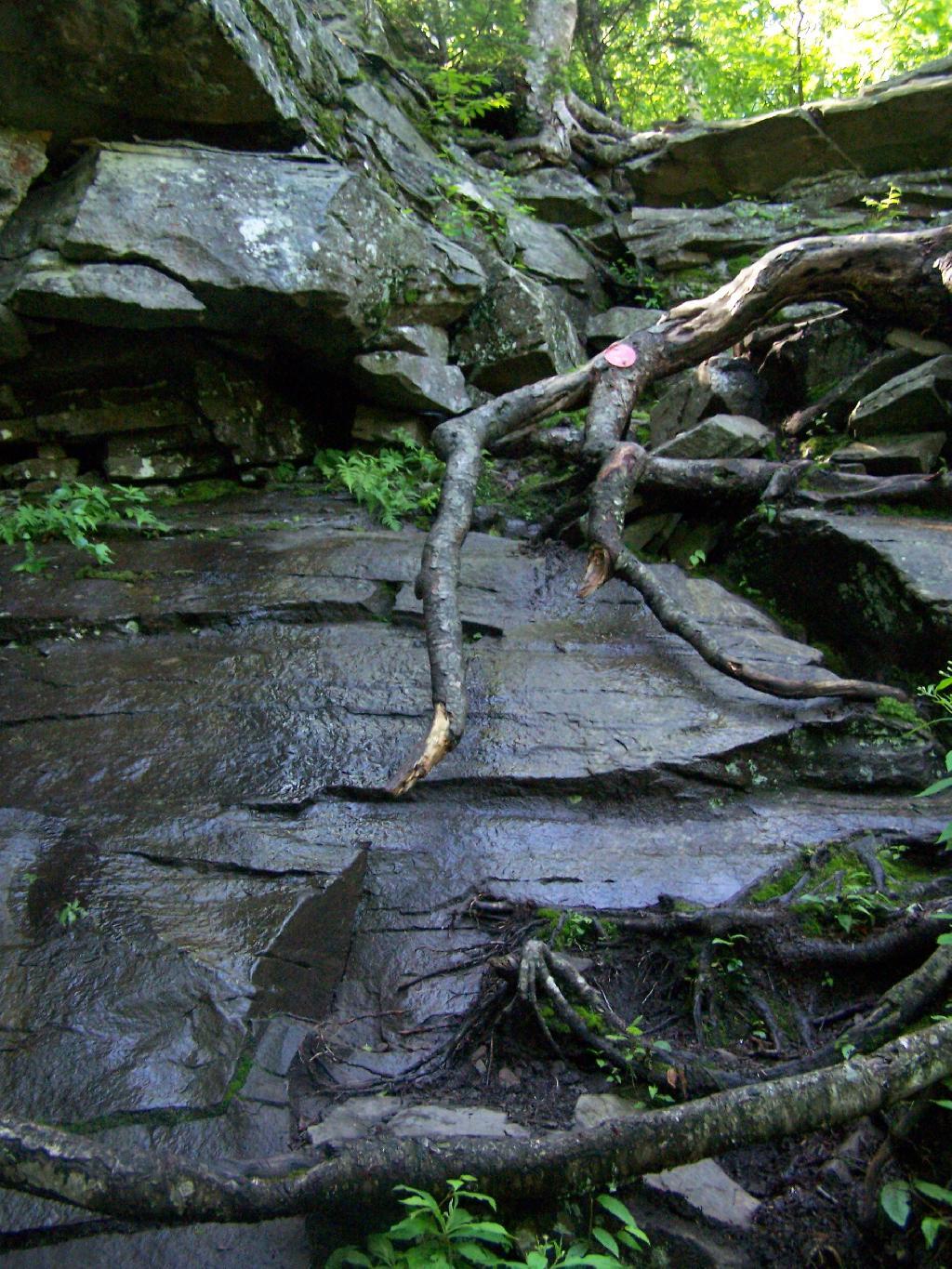
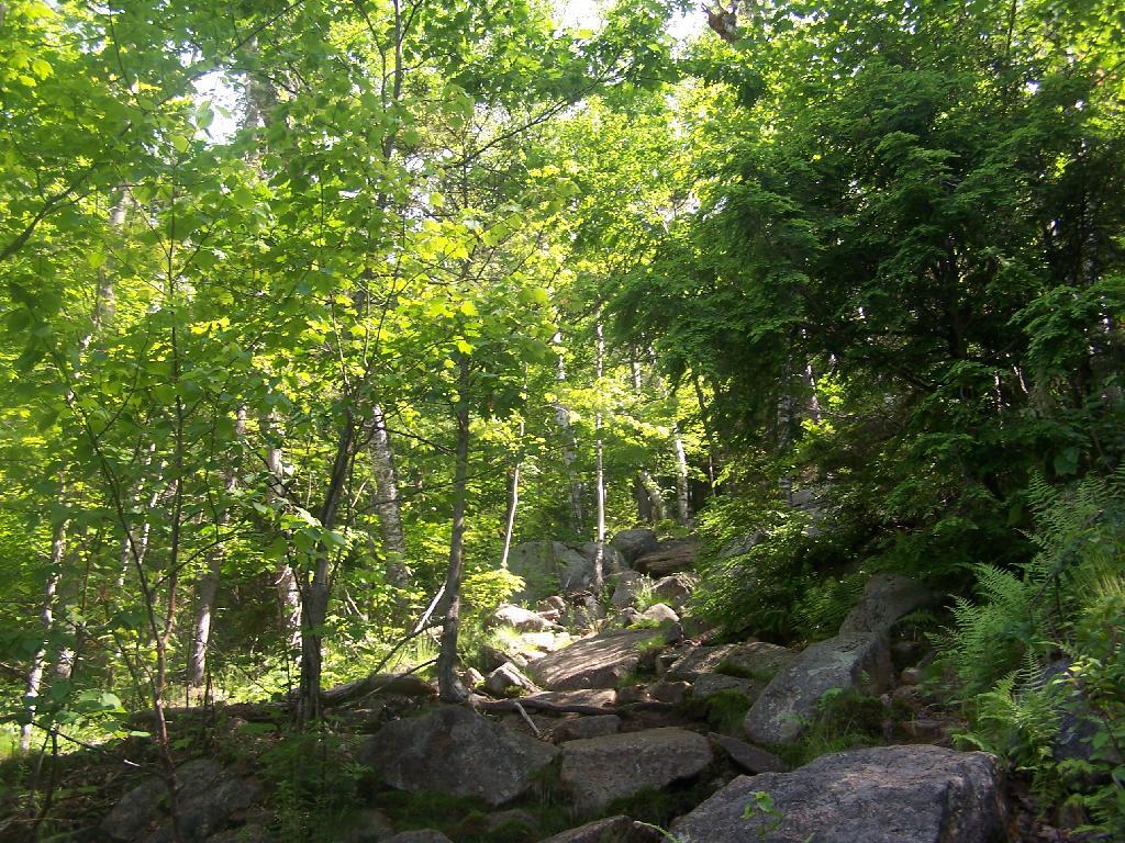
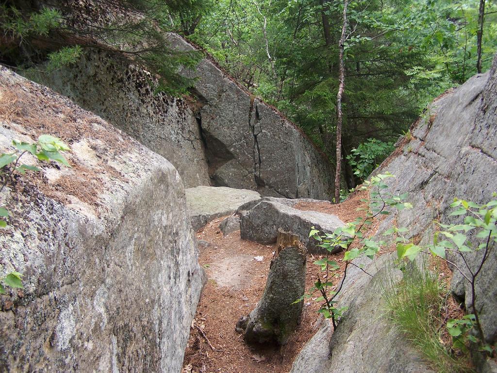
The trail is certainly steep at times. You have to climb up this wet rock face, with limited handholds for about 20 feet. Scratched up my radio doing this, and somewhat took my breath/sense of fear of heights when doing it.
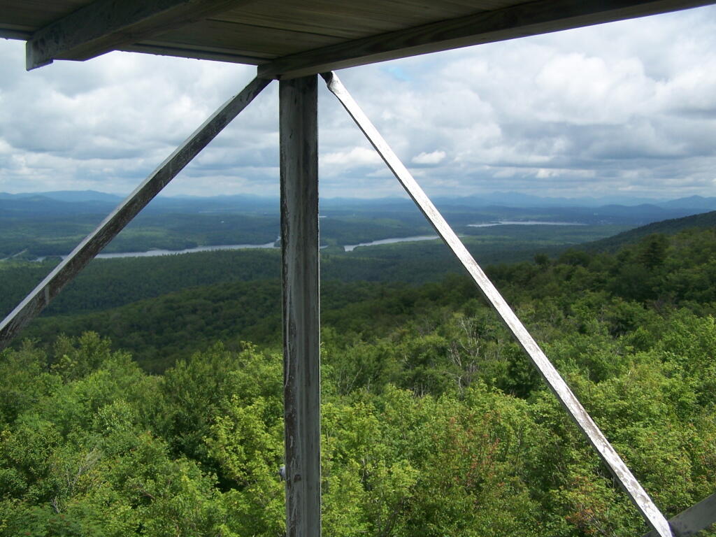
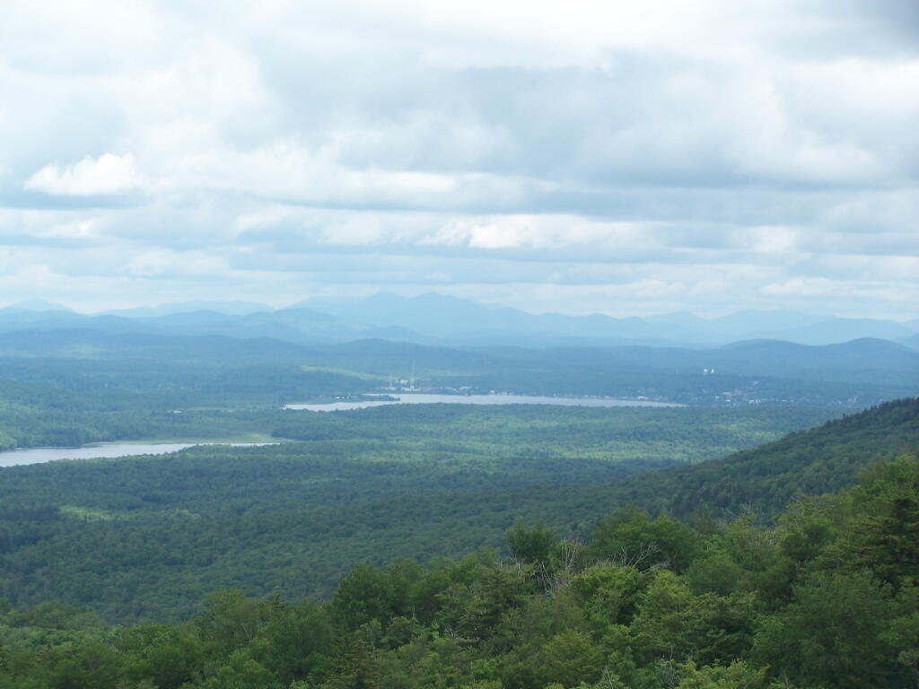
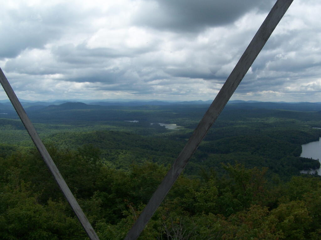
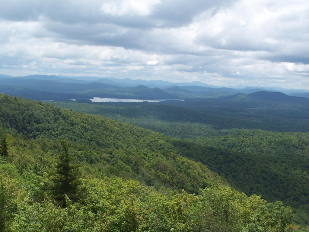
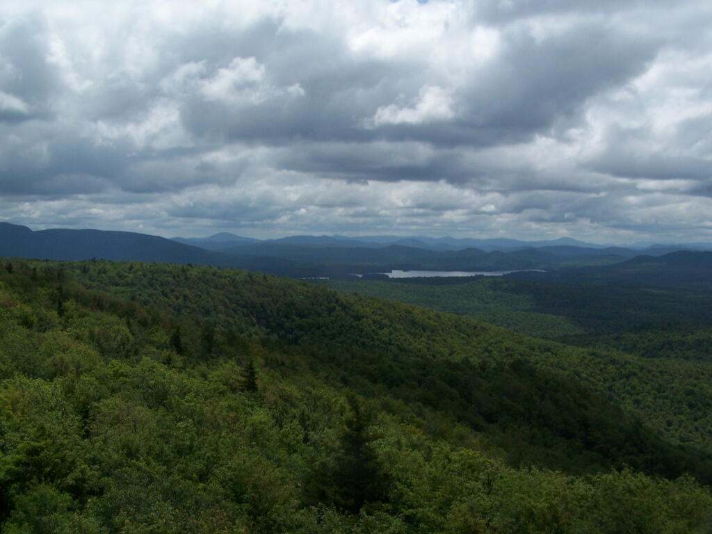
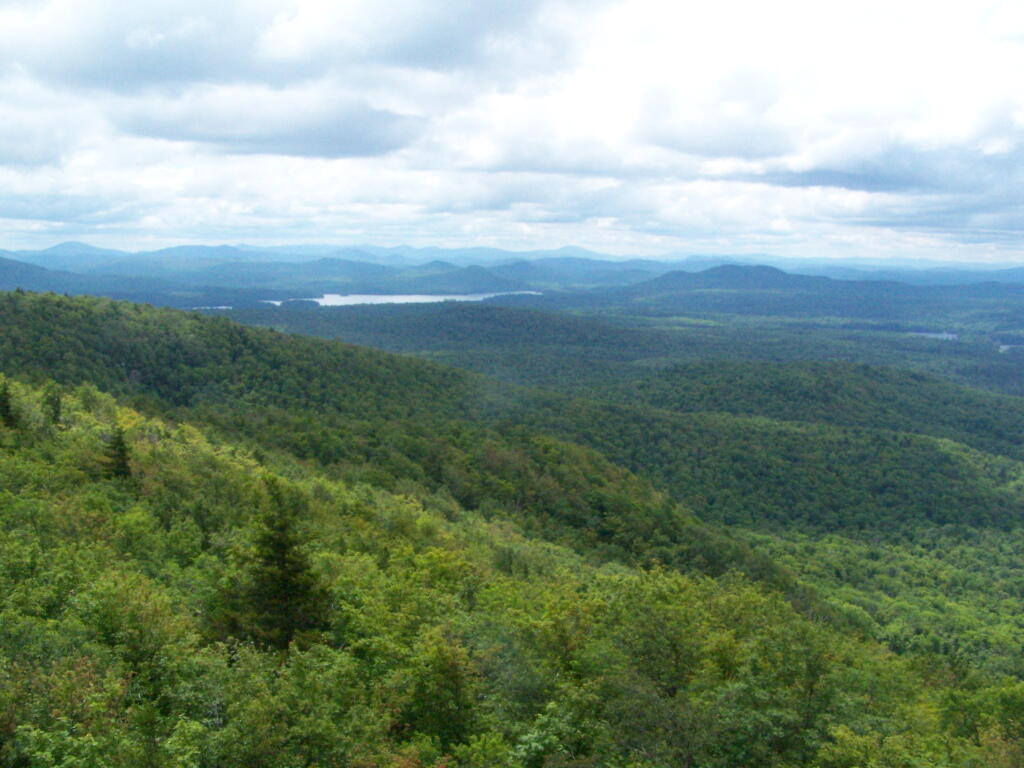
The views of South Hunter Mountain, Platteau from the western peak of Twin are great. Also, don’t forget to continue on for another 1/2 mile down a dip and back up to the other peak of Twin Mountain.
There are several campsites a on side roads, little ways off of NY 30, as you head North from Northville towards Wells NY. These campsites are nice if you starting off into the Adirondacks, and are looking for a convenient place to camp for the night, and want campsites quieter then those on NY 8 / East Sacanadaga River.
These sites are all designated with official “Camp Here” discs.
Road
Number of Sites
Hope Falls Road
3 Vehicle
3 Tent Sites
Pumpkin Hollow Road
2 Vehicle (Between Willis Lake and Inholding)
1 Vehicle (Beyond Inholding)
Hope Falls Road.
From Northville on Hope Falls Road, you drive north and north. The paved road goes on for several miles, until you finally reach the “Seasonal Use Only” sign, and hte pavement ends it becomes a one lane road.
Click the map above to print it.
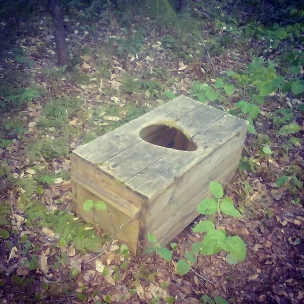
None of these campsites are particularly fancy, although there is a single outhouse for the first grouping of campsites on the southern port of the road.
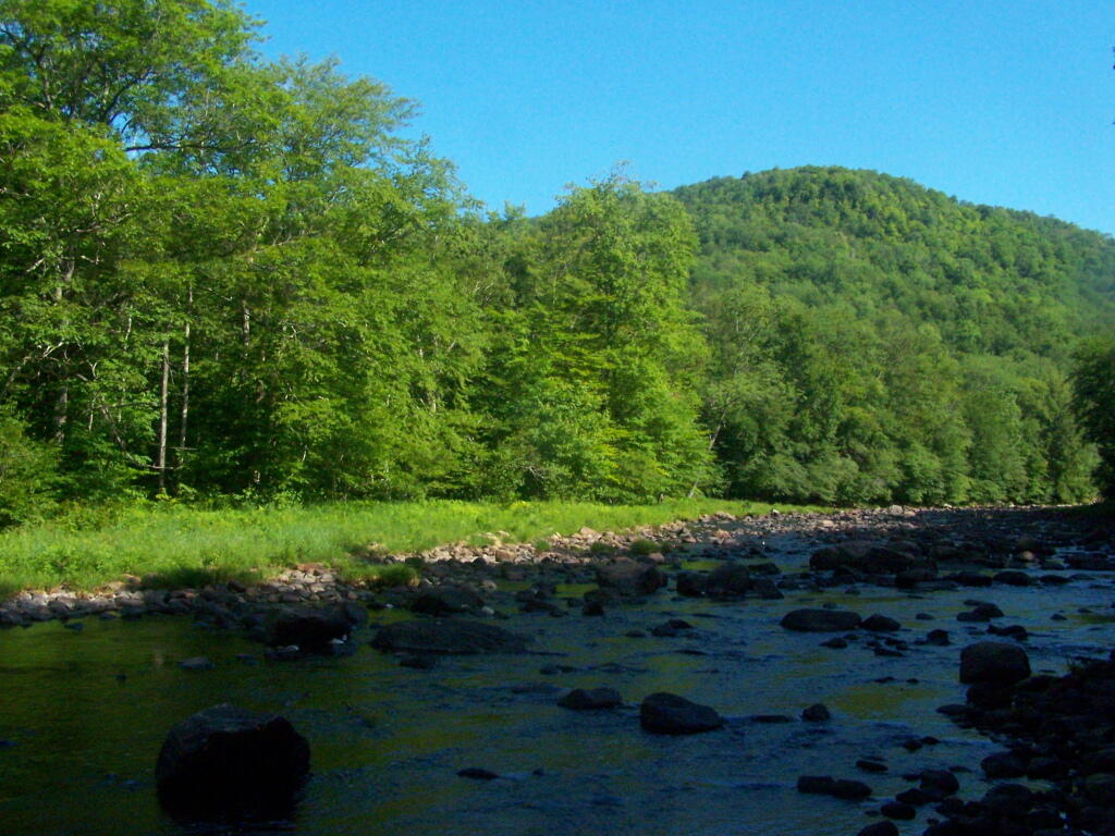
All of the campsites run along Stoney Creek …
Pumpkin Hollow.
The campsites are a ways back on Pumpkin Hollow Road, a dirt road, beyond Willis Lake and the camps along it. Pumpkin hollow is a short ways south of the Sacanadaga River DEC Campground, it starts out as a paved road by a white house, then eventually a mile or two back becomes unpaved and one lane.
You can print the above map by clicking on it and printing it.
Here’s sample designated campsite on Pumpkin Hollow Road.
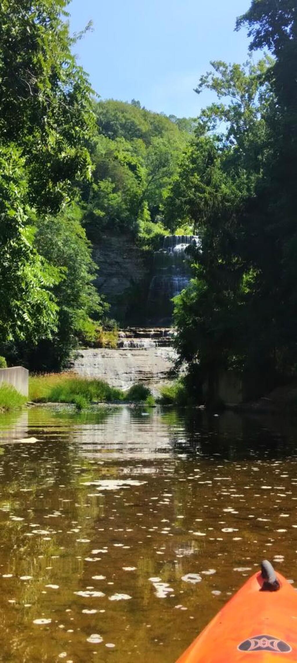
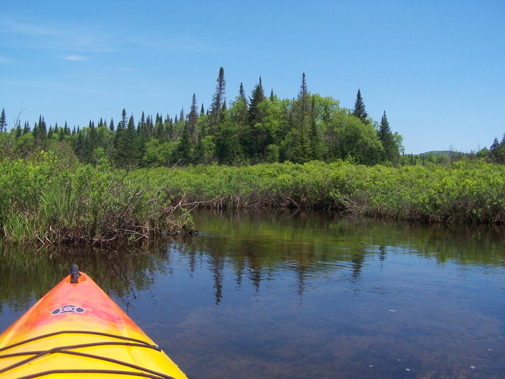
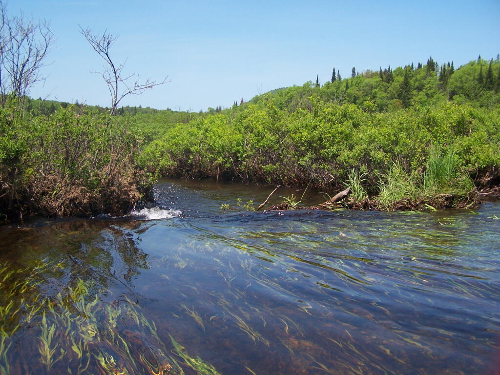
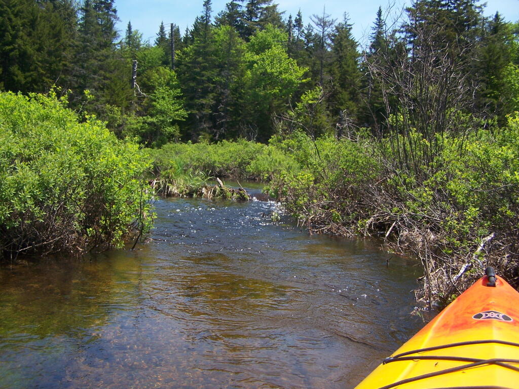
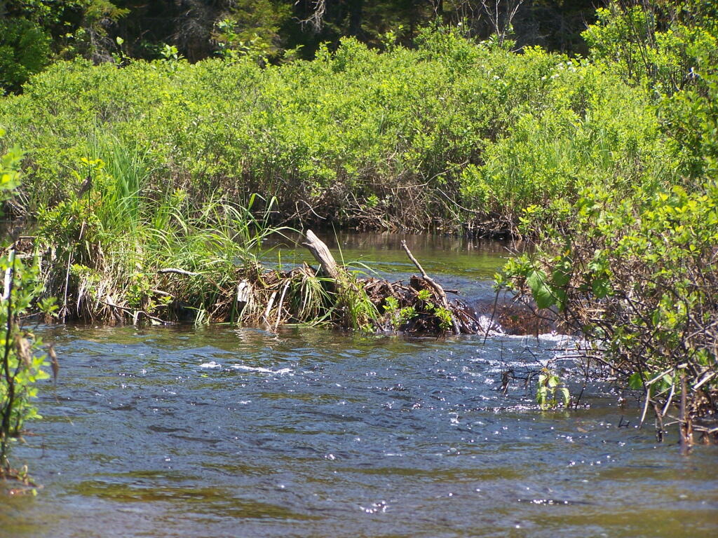
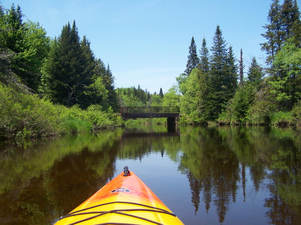
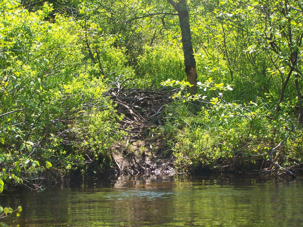
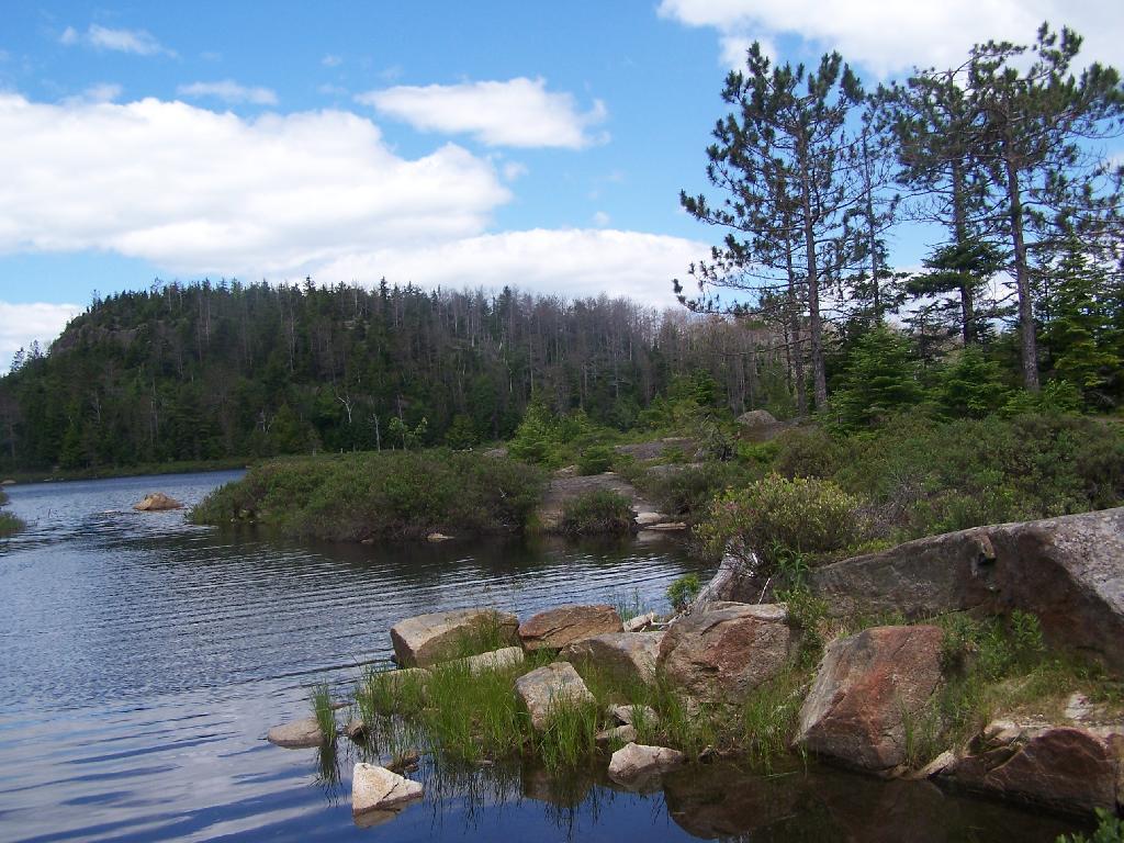
Here are two different maps of Powley Place, the portion of the East Canada Creek that is navigable for a couple of miles, bar the beaver dams you’ll either have to portage around or go right over.
I went hiking at Crane Mountain in the Adirondacks on July 5, on a partly cloudy day. I didn’t get to the trail until around 10 AM, in part because of the Detour on the Adirondack Northway due to the bus crash. Regardless, it still wasn’t that crowded until later in the afternoon.
The drive up Ski Hi Road is quite rough, and minimally marked, except for a few signs that Crane Mountain. Ski Hi road may be inaccessible with a 2-wheel drive after some rain, so be aware. It’s a steep uphill drive, and very much so dirt. Only once it enters the preserve does it get rutted and rough, but very much passable by people who had cars up there.
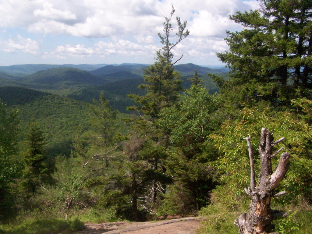
The first part of the trail is quite steep, but you quickly get views of Granite Mountain and other mountains that surround the valley near Crane Mountain Road and Ski Hi Roads.
The trail up it quite steep, climbing over rocks for the first 1/2 of a mile. There isn’t a clear marked trail, you follow one of many routes through the rocks.
The trail is minimally marked, with a few old trail markers and arrows to help you follow. That said, it’s worn enough, and with enough bare rock faces, that it’s quite followable, even without too many markers.
The farther you get up, the better the views get.
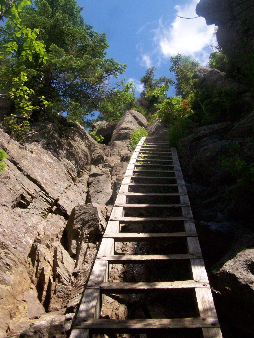
The trail splits between one trail to the pond and one to the Escarpment/Summit. The trail to the Escarpment is relatively flat, with a few up hill sections until you get to a 30′ ladder to get up to the top.
But once you get there up that ladder, the views quickly become quite amazing. The ladder may be 30 feet high, but it’s securely attached to the mountain, so it’s an easy climb. Also, the trees block the view outwards, so it’s not a bad climb.
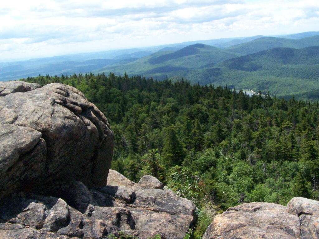
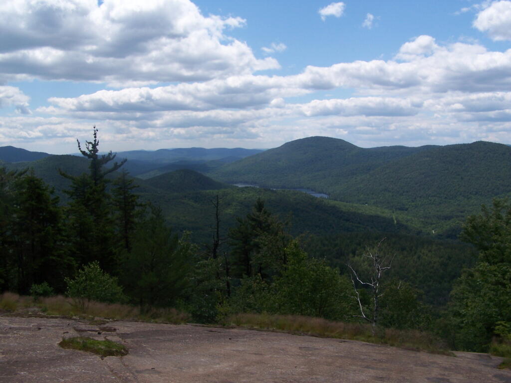
Now I’m looking due to west to Granite Lake.
Looking North West, along the trail as it proceeds North along the Escarpment. I turned on the Mp3 player, and was listening to America’s Horse with No Name. Good music for the amazing views.
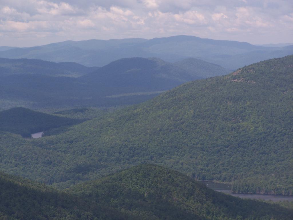
Continuing donw the trail. I must have spent an hour snapping photos, reading, and just enjoying the landscape.
Next the trail proceeds down steeply towards Crane Mountain Lake, with one viewpoint with good northerly views, including an overview of the popular fishing spot of Crane Mountain Lake. At least on this side there is no ladder to climb on down.
Down at Crane Mountain Lake. I sat down here, and spent some time reading. A few people where around fishing and exploring, more people where heading up the trail with polls later on.
The trail, while unmarked splits between going along the top of the ridge between the second and first latter up Crane Mountain, not that you would know it from the lack of signs. There is a lot of exposed rockface on this relatively steep trail, due to aggressive logging a century ago destroying the soil cover, along with steep slopes.
The trail descends quite steeply through rocks, and then further down. It’s a quite steep descent to say the least.
A rather pretty house from a converted barn on Crane Mountain Road, which is viewable from the descending trail.
The last mile of the trail is along an old woods road.