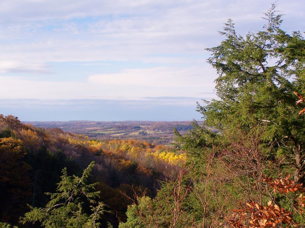
For today’s fodder, we will be checking out some of the land features of Partridge Run from Google Maps Satellite pictures.
1) The Gulf.
The Gulf is one of the most notable features of Partridge Run. A deep cut into the land, it’s cliffs are steep. Going in their, you find plants and animals that can survive only with darkness for long periods of time.
This is the gravel pit off of Peasley Road. It’s the biggest gravel pit at Partridge Run, and always an interesting place to explore, with shot up targets and other interesting places.
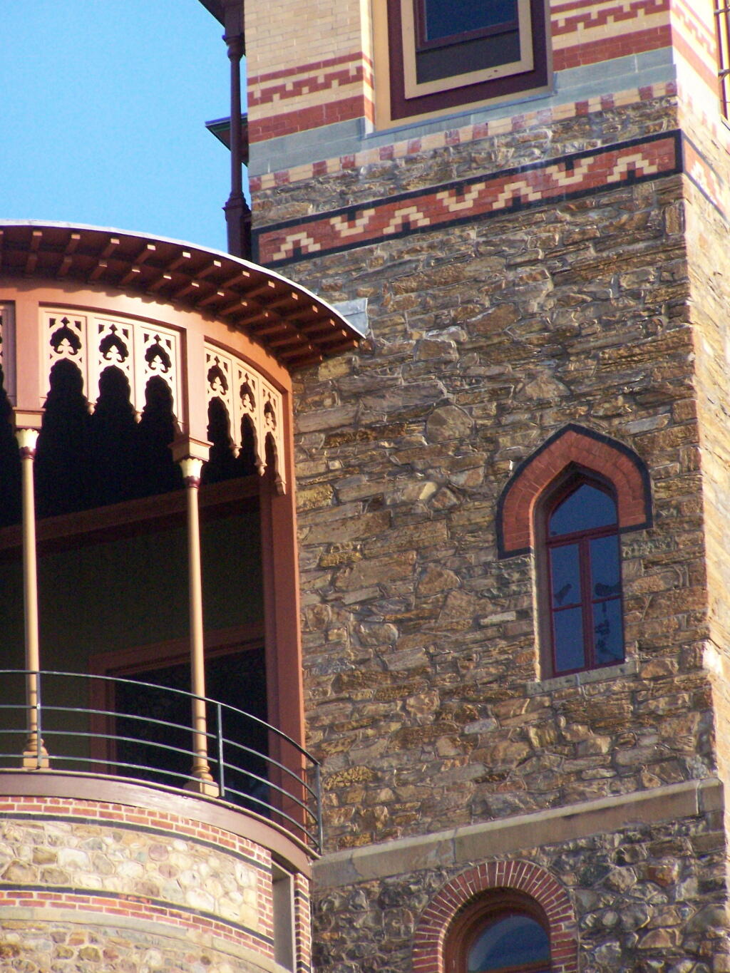
I have driven past Olana a dozen or so times. I last went up to Olana as a young child. I had read about it on Facebook, and knew it was free to wander the grounds from October 15th through May 15th. Driving by it I decided to go for a little stroll.
It is a truly delightful experience from the drive up on the twisty one-lane entrance and exit roads, and remarkable views all the way up. The road is paved, but is bumpy asphalt, so you will want to ease your way on up it.
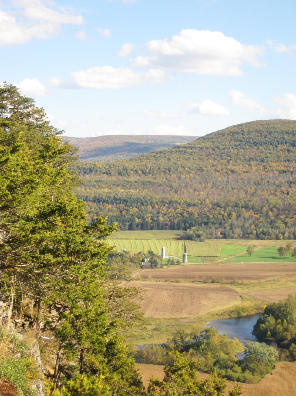
Walking down the great lawn to south of Olana, looking at the views from the west of the Olana. A mountain.
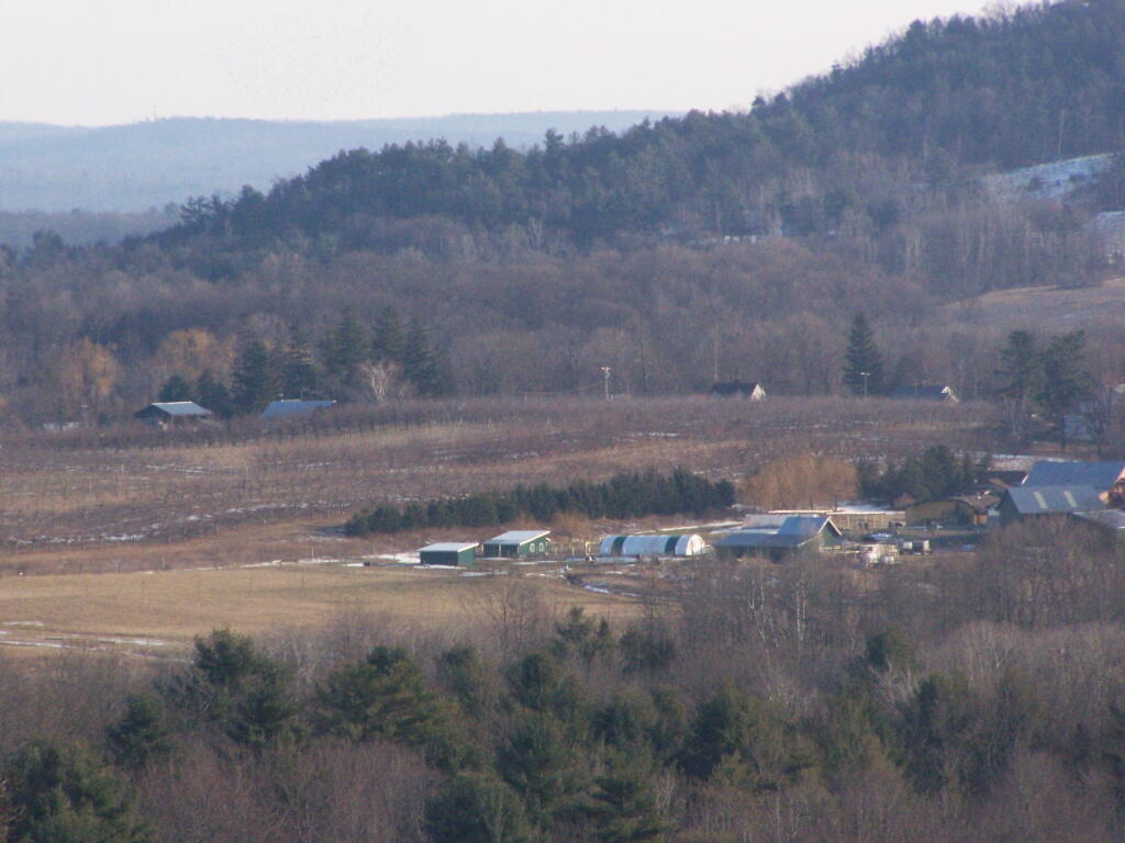
A small farm and orchard in the distance between NY 23 and US 9.
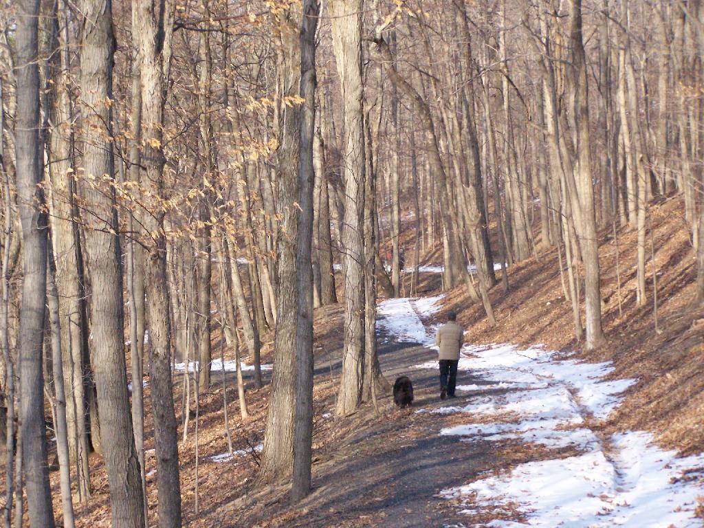
A person walks along the mid-parameter path.
Olana Tower from the mid-parameter path.
The Hudson River looking North.
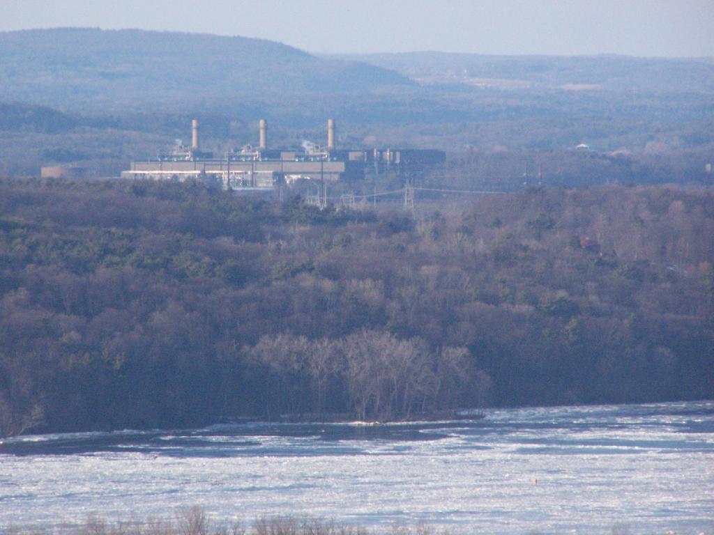
The Athens Natural Gas Power Plant.
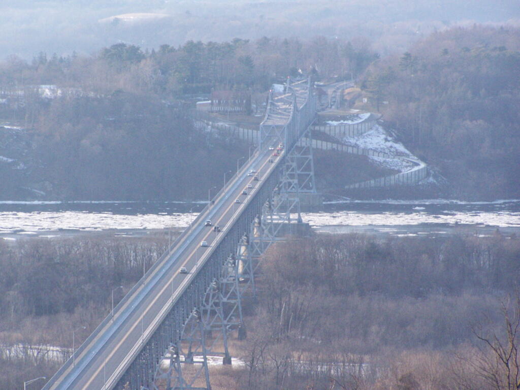
The Rip Van Winkle Bridge.
Walking along a clearing along the path.
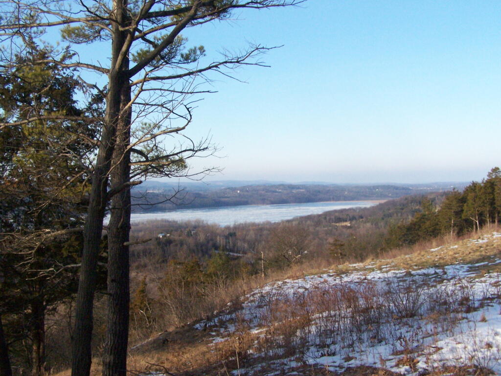
The Catskill Mountains in the distance, with the Hudson River in the foreground.
On a section of Olana overlooking Hudson they are clearing out the area to provide better views of the surrounding trails.
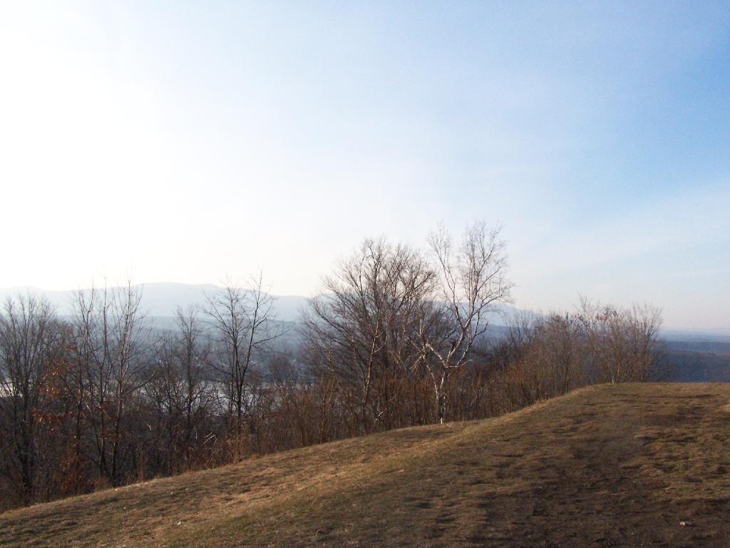
Two Sundays ago I decided to go for an hour hike at Five Rivers. Nothing fancy, I just wanted to try out my snowshoes for the year, get a little pratice, and get some pictures of the first fluffy white snow of the year.
It was a cloudy day, a pretty quiet day. There was a lot of people out walking around, and in many places the trail was quite slushy.
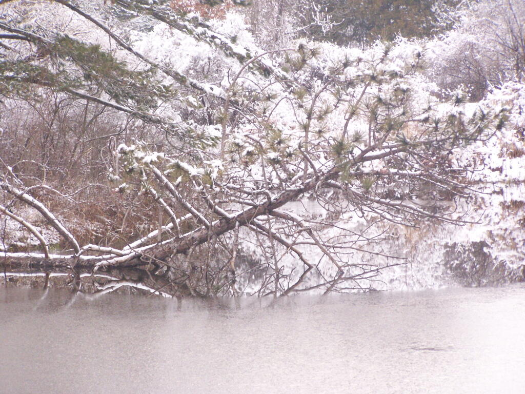
Some of the ponds at Five Rivers where very much frozen for the first time this year.
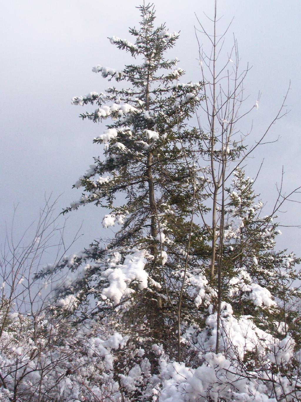
The trees where all covered with a pretty layer of snow, as seen with this pine tree against a grey sky.
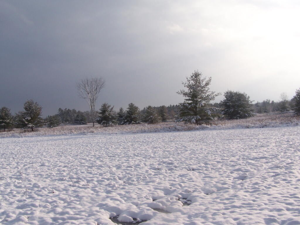
As I walked around the back field it was truly a beautiful winter wonderland.
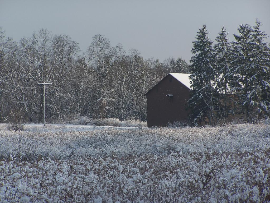
Heading past the DEC Barn off the North Loop Trail / DEC road.
After visiting Mount Usayantha earlier in the afternoon, I drove down to Vromans Nose to climb it, and take in the views on a wonderfully warm fall afternoon.
The colors along the hills gracing Vromans Nose where somewhat faded and past peak, but they still where quite amazing.
As I looked down along NY 30 and the Octagon House.
Then proceeded down the cliff.
A map of Vromans Nose. I drew these trails up from memory, they should be rough estimates of location of trails and not exactly GPS tracks.
There are around 25 active municipal waste landfills in our state, all of them located in Upstate New York. Here are some arterial views from Google Maps from the 10 closest active municpal solid waste landfills to Albany, NY. Feel free to zoom out to see surrounding landforms, notice developments, farm lands, and other things impacted by these trash dumping sites.
1) Albany City / Rapp Road Landfill.
Located in the Albany Pine Bush, a globally unique Pine Bush ecosystem, it is undergoing an expansion that will condemn 15 acres of this rare habitat. With no more land to expand on without expanding into high-quality Pine Bush, it’s likely to close in a couple of years.
Located on the Mohawk River, it is located north of the town near several smaller subdivisions and some of the suburban towns remaining farms. It recently was expanded, and there is concerns about pollution to neighbors and the nearby Mohawk River. Neighbors have claimed to have wells contaminated, and are concerned about impact on the river. Litter is a real problem.
This landfill was expanded in 2004, and as of 2008 is at about 60% of capacity. It serves Fulton County (owner), and also the MOSA communities (Montegomery-Otsego-Amsterdam-Schoharie) and downstate sources.
Located about a 1/8th of a mile, in the bend of the Saranac River, about 5 miles west of Plattsburgh, it takes trash from the North Country and far beyond at a low rate to make the county money. It was privatized about a decade ago.
This landfill near the Candian Border in the Town of Constable, Franklin County, is in the permitting process for a massive expansion, so the county can import more garbage and make more revenue off it.
A relatively small county landfill serving the trash disposal needs of Chenago County. It is located near East Pharsalia, about twenty miles from Norwich. It has suffered from low revenues in recent months.
Located near Boonsville / Town of Ava, this is the state’s newest landfill, providing 62-years of theoretical capacity for the Oneida-Herkimer communities. Permits for the landfill where granted about three years ago, and that’s why it’s not seen yet on this former farm field. It has been subject to significant controversy.
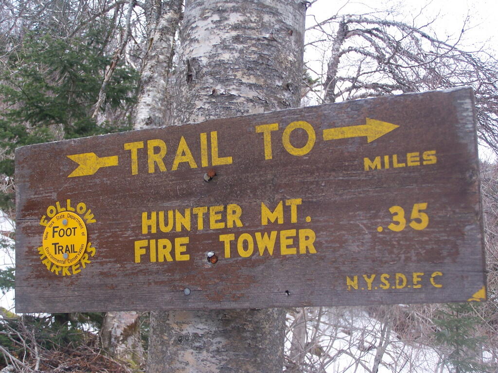
On Friday I hiked up Hunter Mountain, the second tallest peak in the Catskills at 4040′ elevation above sea level. From the trail head you clime 2020′ feet in elevation, about doubling your height, but it’s not that bad when you consider the climb is over 2.5 miles via the Becker Hollow Trail.
It was a beautiful sunny day, although I was well aware that rain was expected by afternoon. I had gotten a late start, not reaching the trail head until about 9:30 AM. It was quite hot going up, in part because there was little shade to hide out under.
The first part of the trail was relatively modest, but it quickly got steeper. It didn’t seem that bad, but I could feel the elevation, and with the sun it was quite warm. I took frequent breaks, stopping for lunch, pictures, water, and just to cool down, especially where I could find shade under the pine trees.
Around 3500 elevation marker, the trail headed south and got snowy and icy. It was a steeper hike, but not any worst then any other of the Catskill peaks. Then the yellow trail split off the blue trail, and it was a 1/4 mile up to the fire tower.
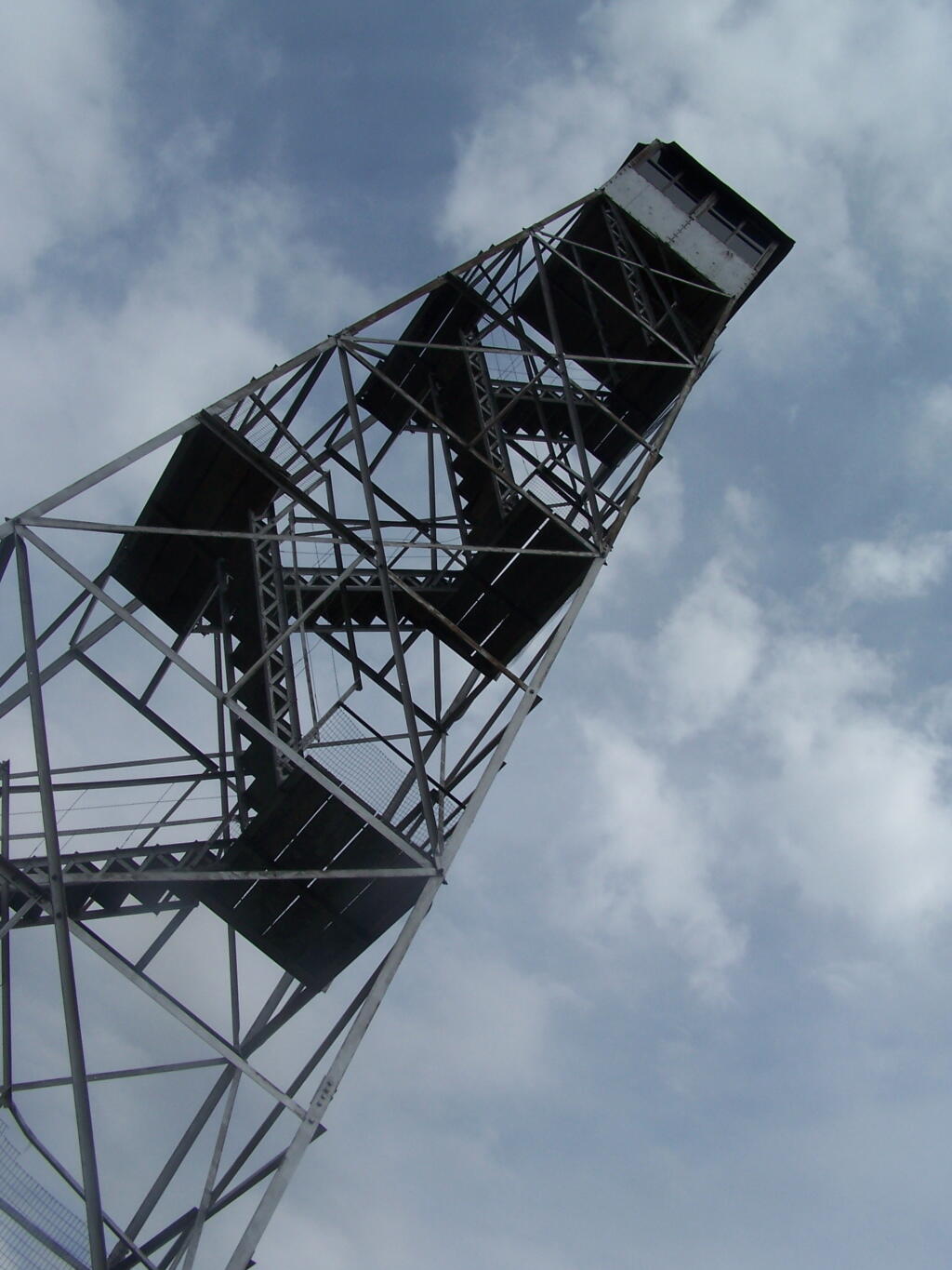
The fire tower is in the middle of the Catskills, so the surrounding mountains block the view of the valley except for a few views, such as down the Palenville Clove. Westerly views are the best, as are some of the southerly views.
The top deck of the fire tower of is missing the safety screen. Not that it matters much as the railing makes it pretty unlikely to fall, but I still have enough of a fear of heights to be extra careful. Stupid, sure.
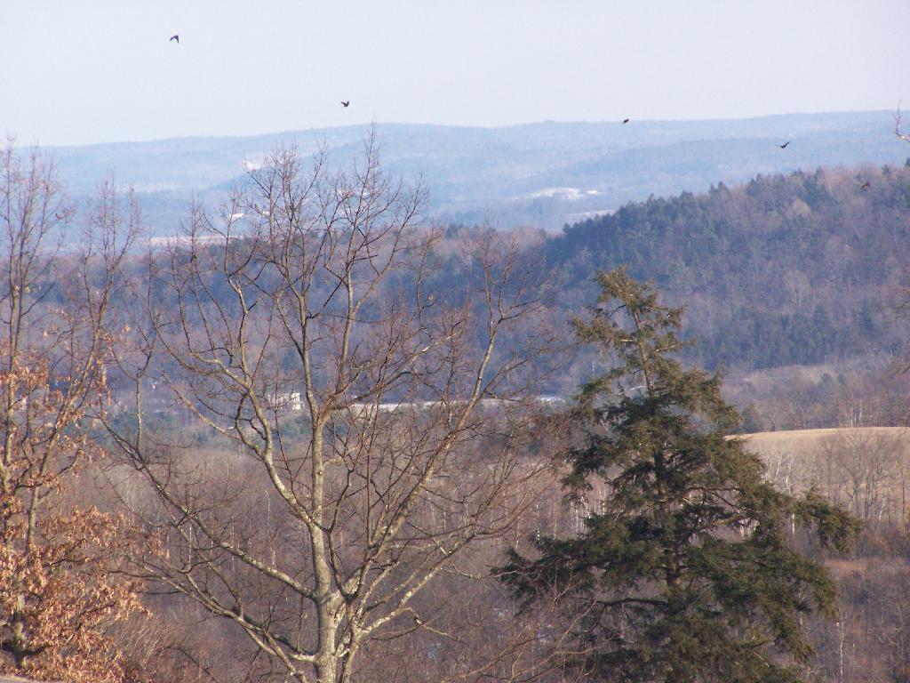
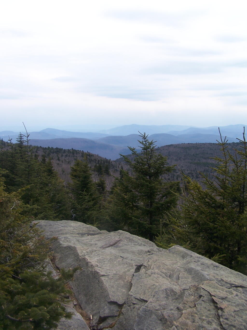
A little ways to the south on the blue trail, about 1/2 mile, there is another view that overlooks the south-west, including West Kill Mountains, Slide Mountain, and Belleayre, all clearly identifiable.
This hike is definitely worthwhile when things are green out, if you enjoy looking at mountains. But it was awful gray out, especially by the time I reached the top, and it had clouded over. The lack of views of the Hudson Valley and the river was somewhat disappointing, but not surprising.
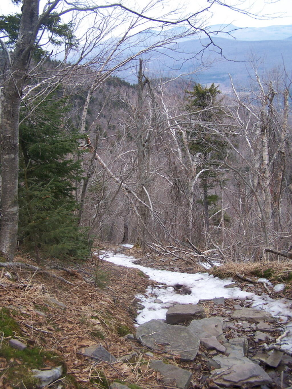
I slipped on some ice on the way down, slide about 10 feet and certainly felt it the next day. Other then that, it was a nice descent, much easier then going up. It started to pour, just about the time I reached my truck.


")