photos

Kayaking Cedar River Flow, August 2010

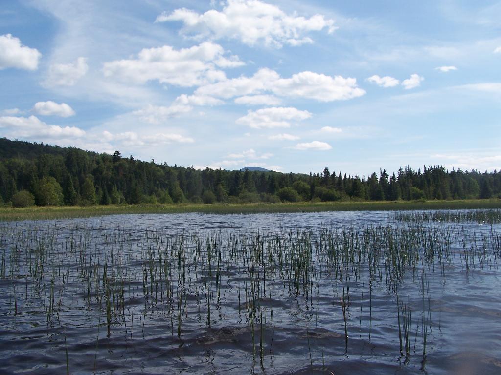
The Cedar River Flow is a 3 mile dammed up river, that provides a beautiful area to paddle around in between the Blue Ridge Hills, and other mountains that surround it. There are dozens of campsites along the lake, you can paddle on around in. On August 11th, I camped up at the Cedar River Flow Camping-area in my pickup truck, and paddled around the lake, up into the Cedar River a ways beyond the end of the flow.

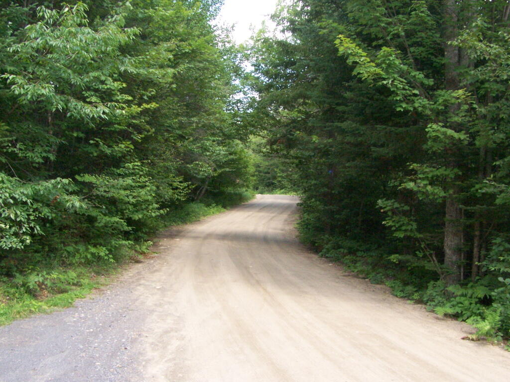
Cedar River-Limekiln Lake Road

Hook Near Payne Brook. Where it enters the Cedar River Flow, about a 1/2 mile from the entrance of the Flow.

Hook Near Payne Brook

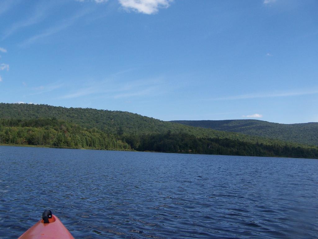
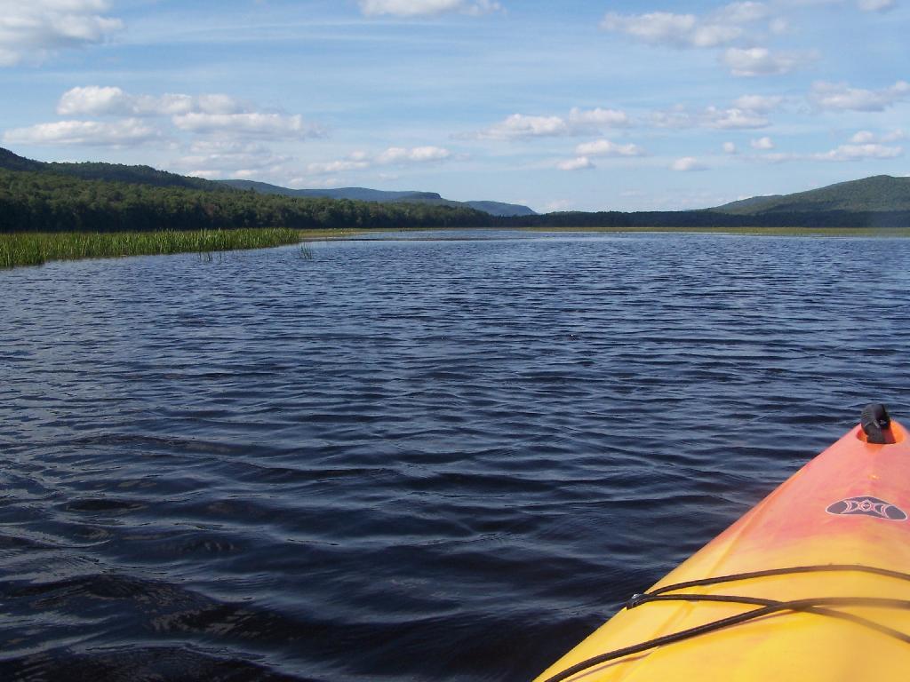
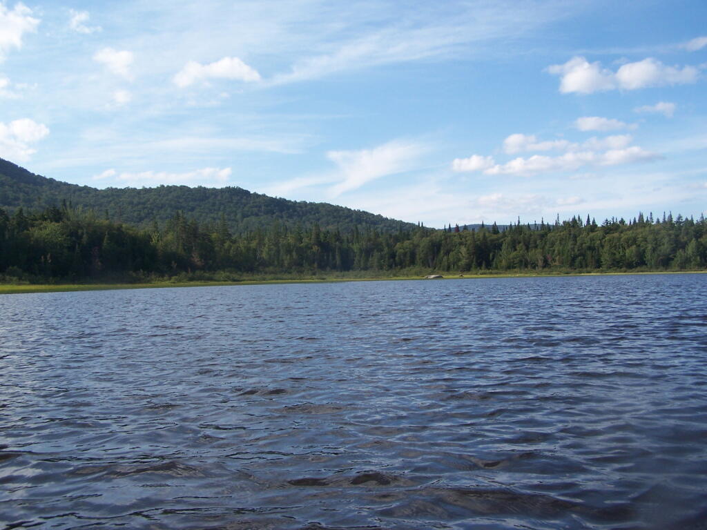
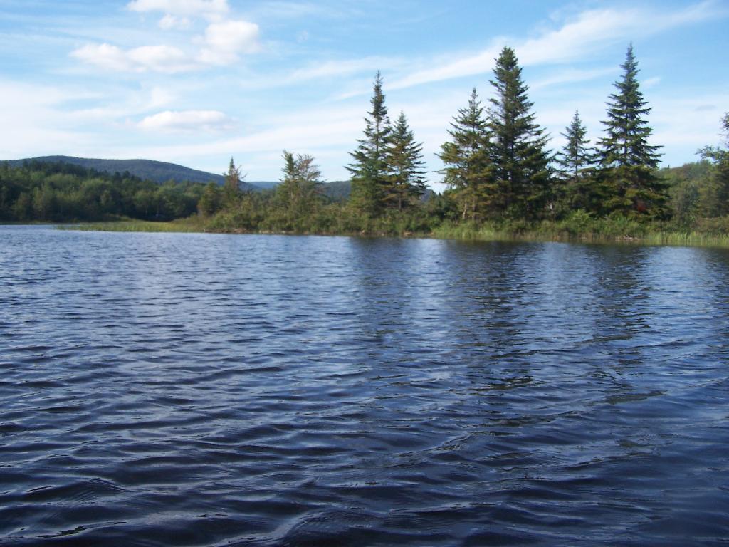
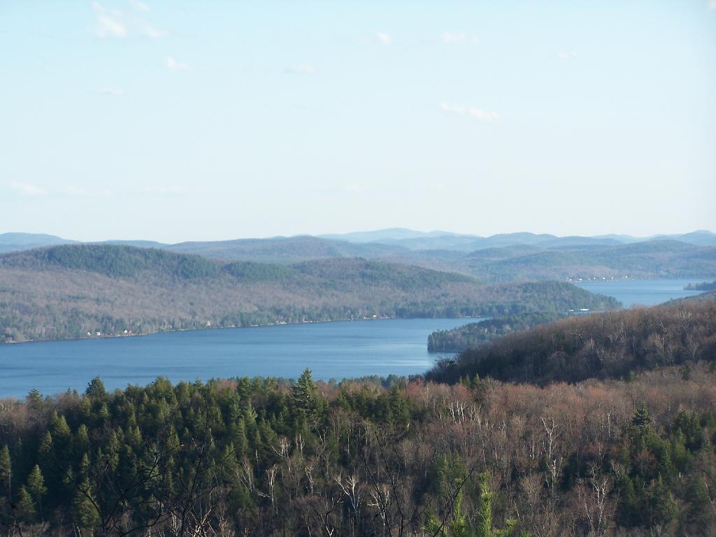
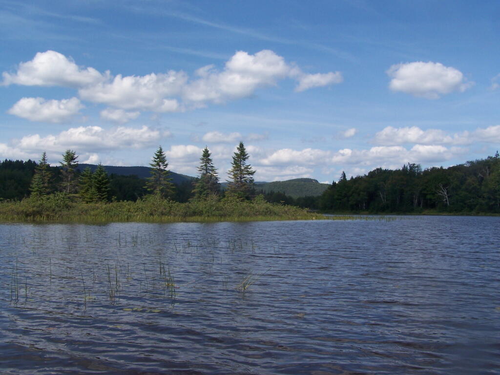
Across Cedar River Flow. This more open portion was a bit rougher, although the wind was pretty slack on this day. Blue Ridge is in the distance.

Across Cedar River Flow


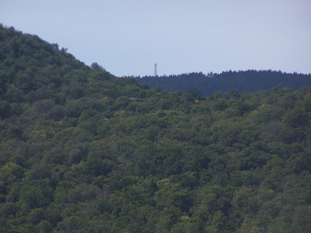
Wakely Fire Tower. As seen from the middle of Cedar River Flow, over Sturges Hill. I previously hiked it, and it was a nice hike</>.

Wakely Fire Tower

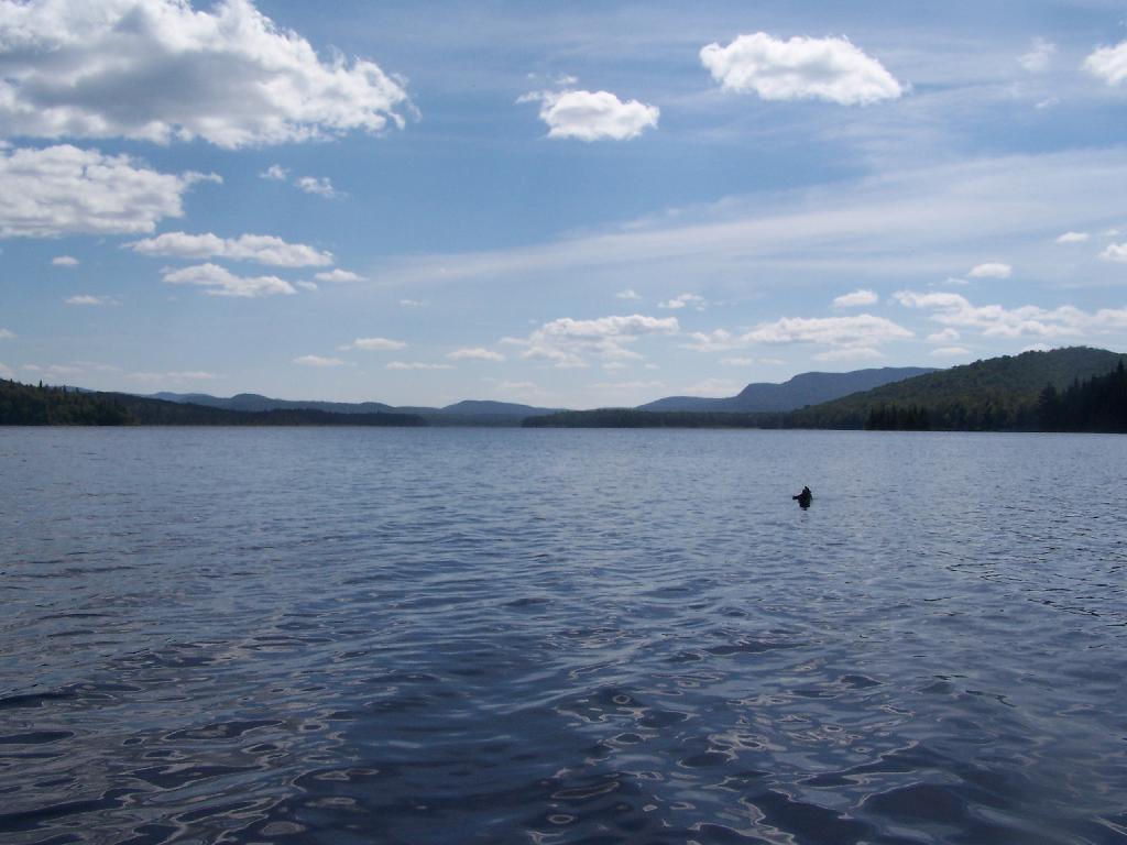
South Over Cedar River Flow. It was pretty bright and glarey on the lake. I had my sunglasses on, and even had enough sunscreen on, along with the cowboy hat, but not putting sunscreen on my legs, left with me with bad burns on the legs.

South Over Cedar River Flow

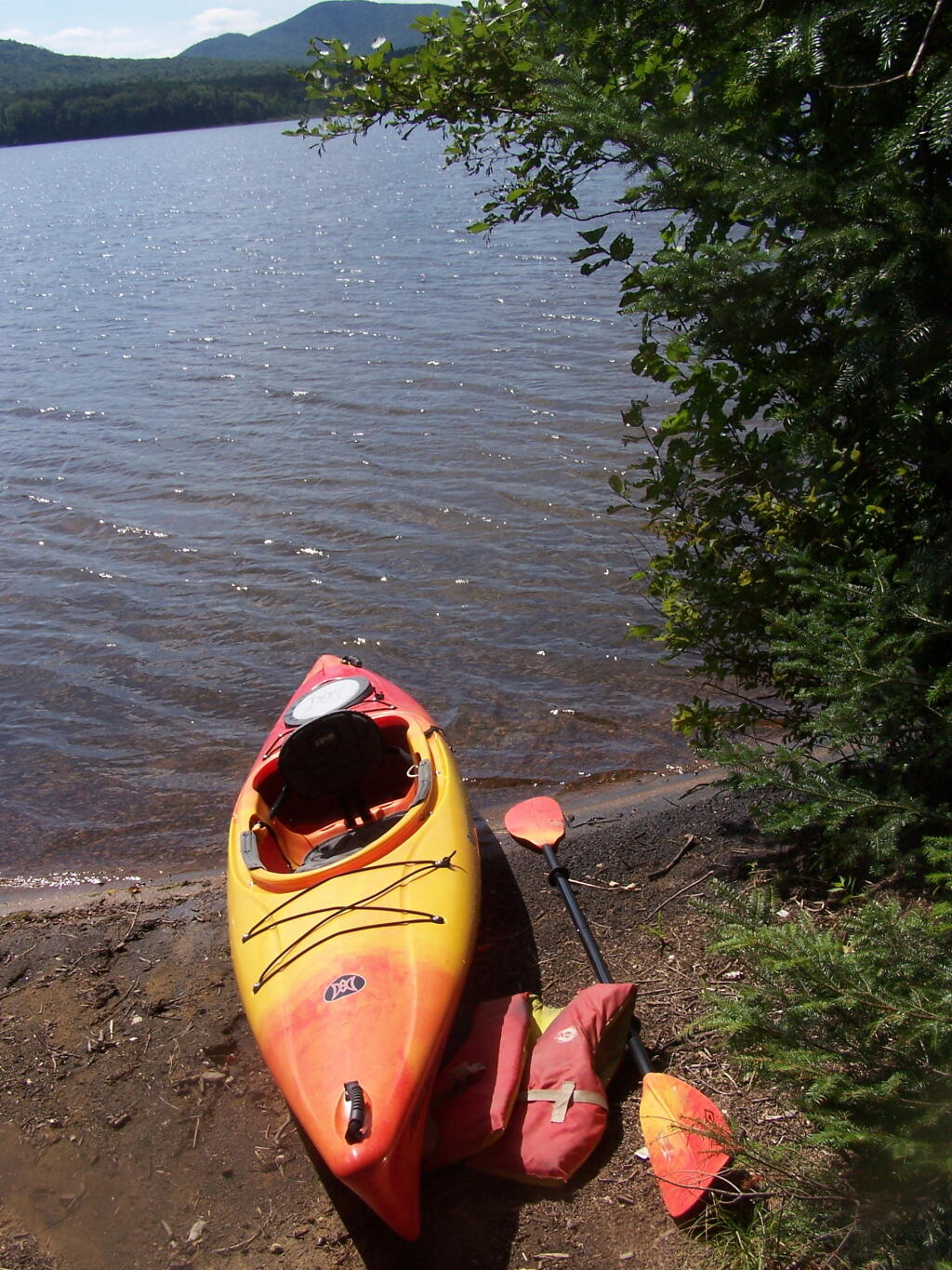
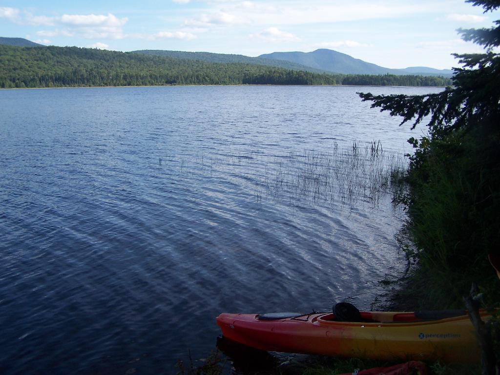
Parked on Cedar River Flow. At one of the campsites. I really had to take a piss, because that’s what drinking beer does to me, and it’s pretty hard to do in a kayak, without hoping out.

Parked on Cedar River Flow

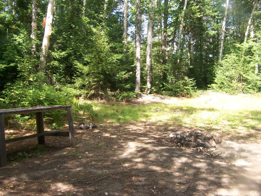
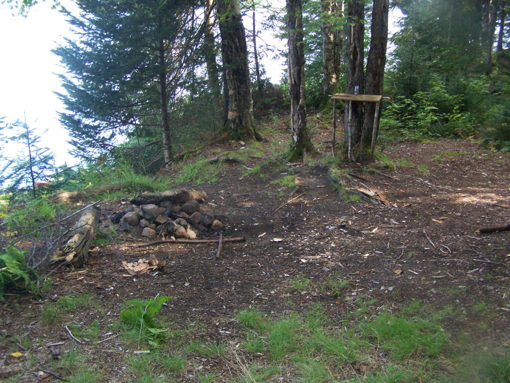
Campsite on Cedar River Flow. This was one of the less nicer campsites on Cedar River Flow, causally developed and not by the DEC. The nicer paddle in campsites have picnic tables, and outhouses.

Campsite on Cedar River Flow

View from Cedar River Paddle-In Campsite. Quite nice, and a sandy beach for swimming and getting clean.

View from Cedar River Paddle-In Campsite

Edge of Cedar River Flow. This was at the campsite I pulled off at to take a piss.

Edge of Cedar River Flow

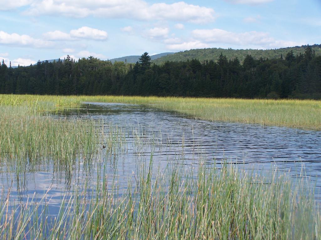
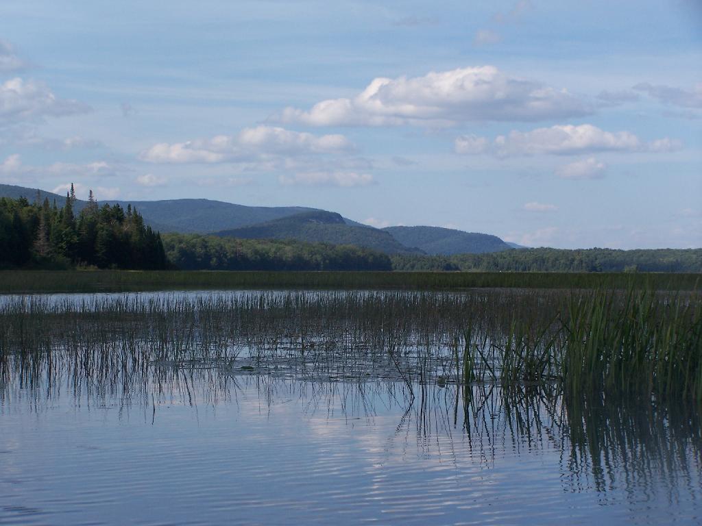
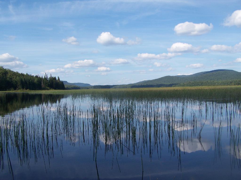
Cedar River Flow Becomes Marshier. As you proceed west on Cedar River Flow, it becomes shallower and shallower, until it’s marshland. It can be a little hard to paddle if you get out of the channel, but in the channel, it’s pretty deep.

Cedar River Flow Becomes Marshier

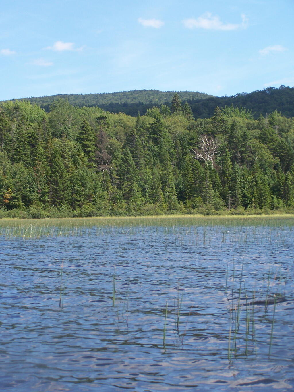
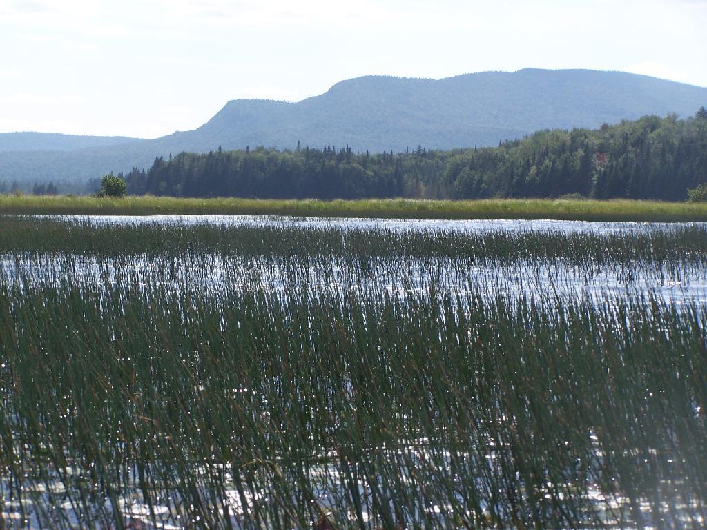
Marshy Flow and Pillsbury Mountain. This is almost the end of the flow, before it becomes all marsh, and you have to follow the Cedar River to get farther west then this.

Marshy Flow and Pillsbury Mountain

Sturges Hills and Wilson Ridge. This is across the marshy end of Cedar River Flow, looking to the north-west.

Sturges Hills and Wilson Ridge

Tougher Paddling. Soon I will find my way onto the Cedar River, which gets much easier, despite a fairly strong current on the river.

Tougher Paddling

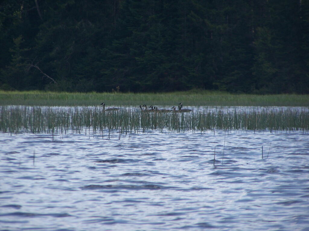
Canadian Geese. On the Cedar River Flow.

Canadian Geese

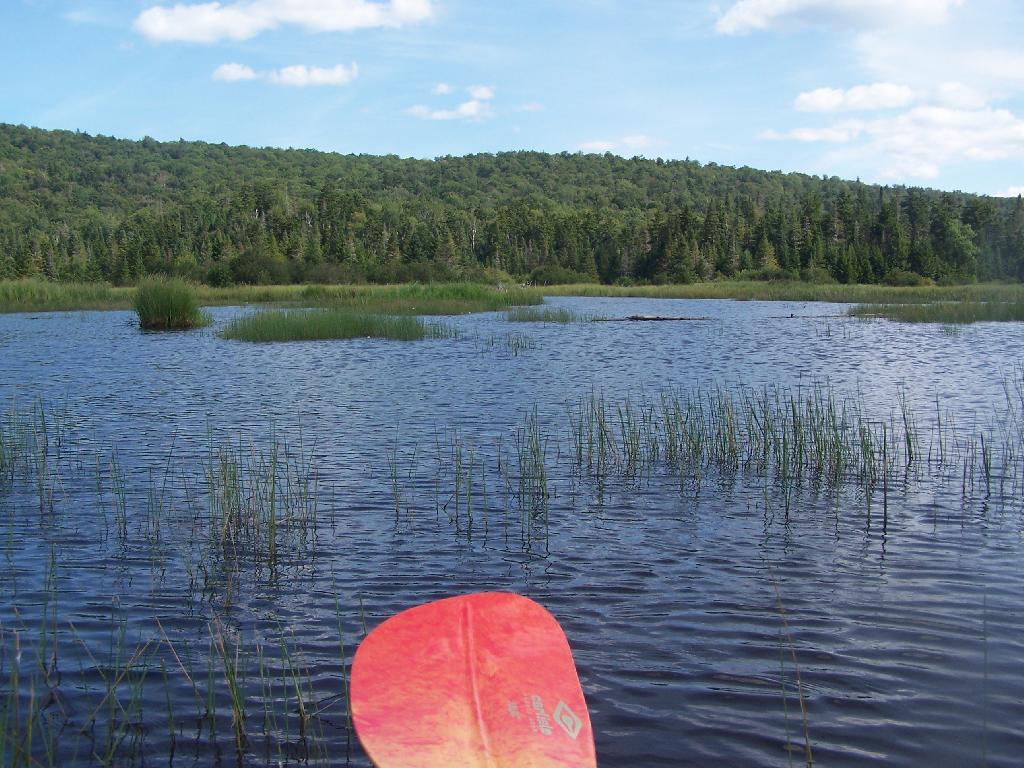
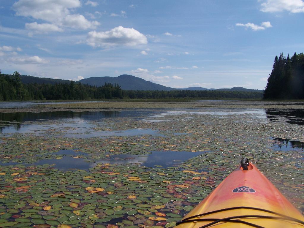
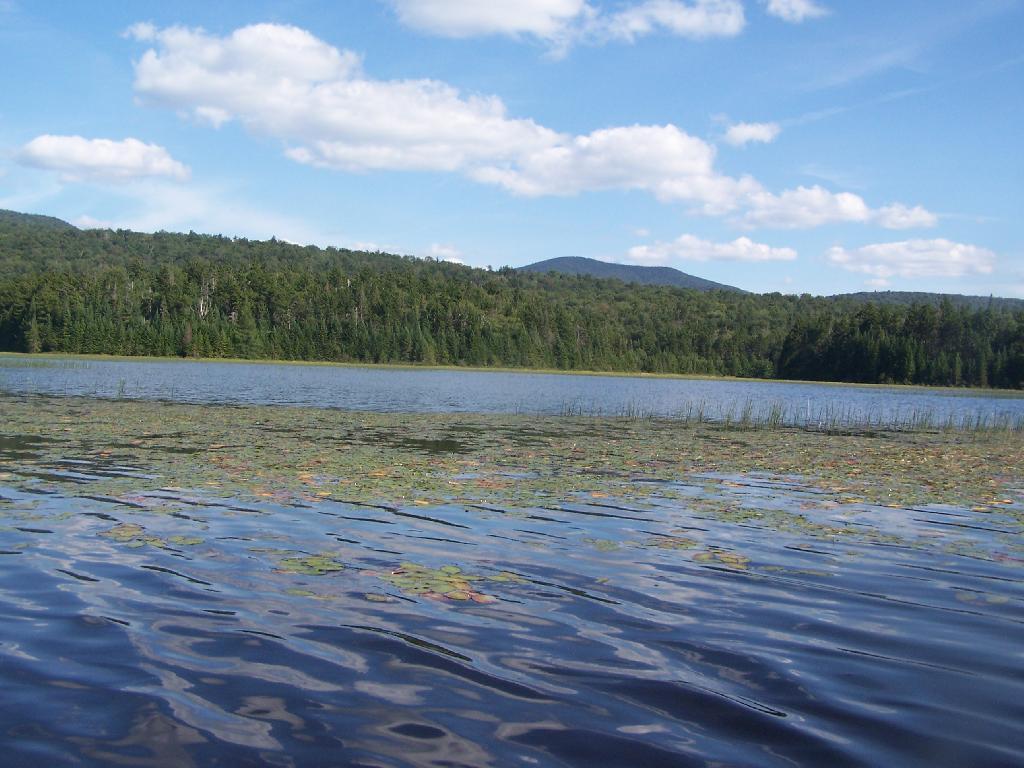
Pond Lillies on the Marsh and Mush. Not fun at all for paddling through on the Flow. That said, if I was in the channel, it wouldn’t be so hard, but I was looking for another stretch and piss spot. All that beer made for tough going in the boat.

Pond Lillies on the Marsh and Mush

End of Cedar River Flow. From here it’s just marshland and the river, flowing to the south west.

End of Cedar River Flow

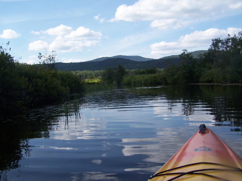
Paddling Thru Cedar River. The current was pretty strong, but still very much paddle-able from here.

Paddling Thru Cedar River

Down Along the Cedar River. It was a pretty afternoon for paddling, but my arms where starting to feel it against the current of the river.

Salad for the Pine Bush Dinner

Navigating Oxbow in Cedar River.

Navigating Oxbow in Cedar River

Back in the Flow. The low hills of Blue Ridge and Sturges Hills follow along the landscape of the flow.

Back in the Flow

Heading East Along Cedar River Flow. Only a couple miles back to the campsite.

Heading East Along Cedar River Flow

East Across Flow.

East Across Flow

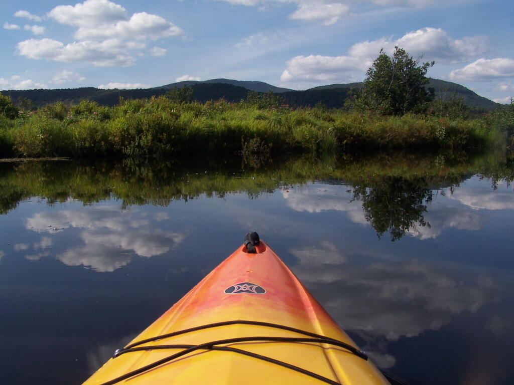
South Across Cedar River Flow.

South Across Cedar River Flow

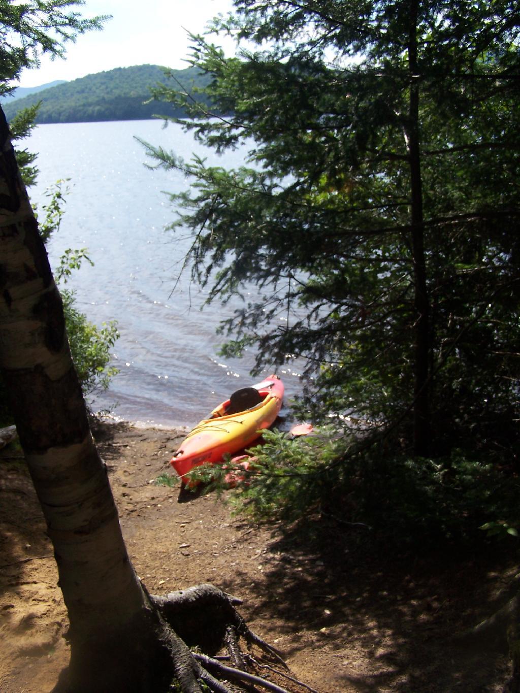
Kayak in Site on Cedar River Flow. This is one of the beautiful kayak-in sites that the DEC is proposing to close to appease the environmental extermists who believe the public should have no access to public lands.

Kayak in Site on Cedar River Flow

Very Basic Campsite. Still it seemed like some place that would be nice to paddle in one day with a tent.

Very Basic Campsite

A Quick Swim, Then Back in Kayak. This is another nice sandy beach at Cedar River Flow.

A Quick Swim, Then Back in Kayak

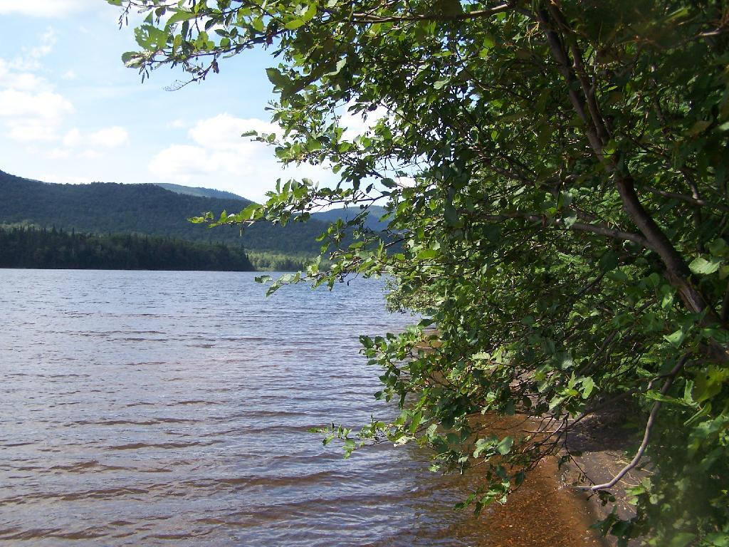
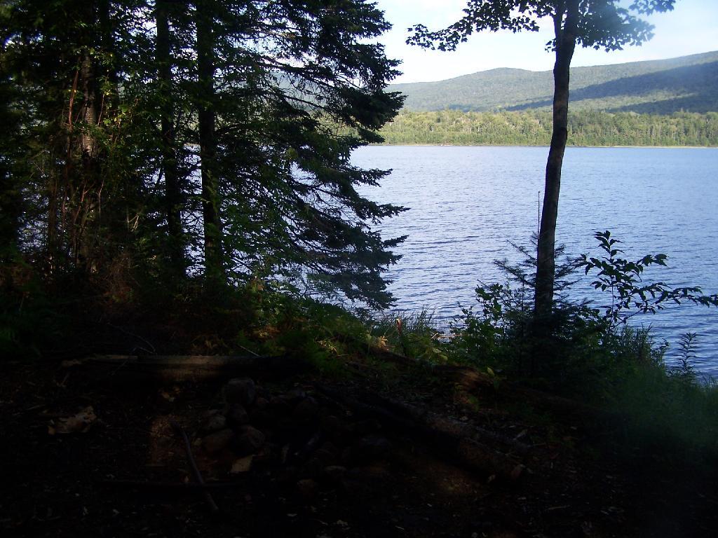
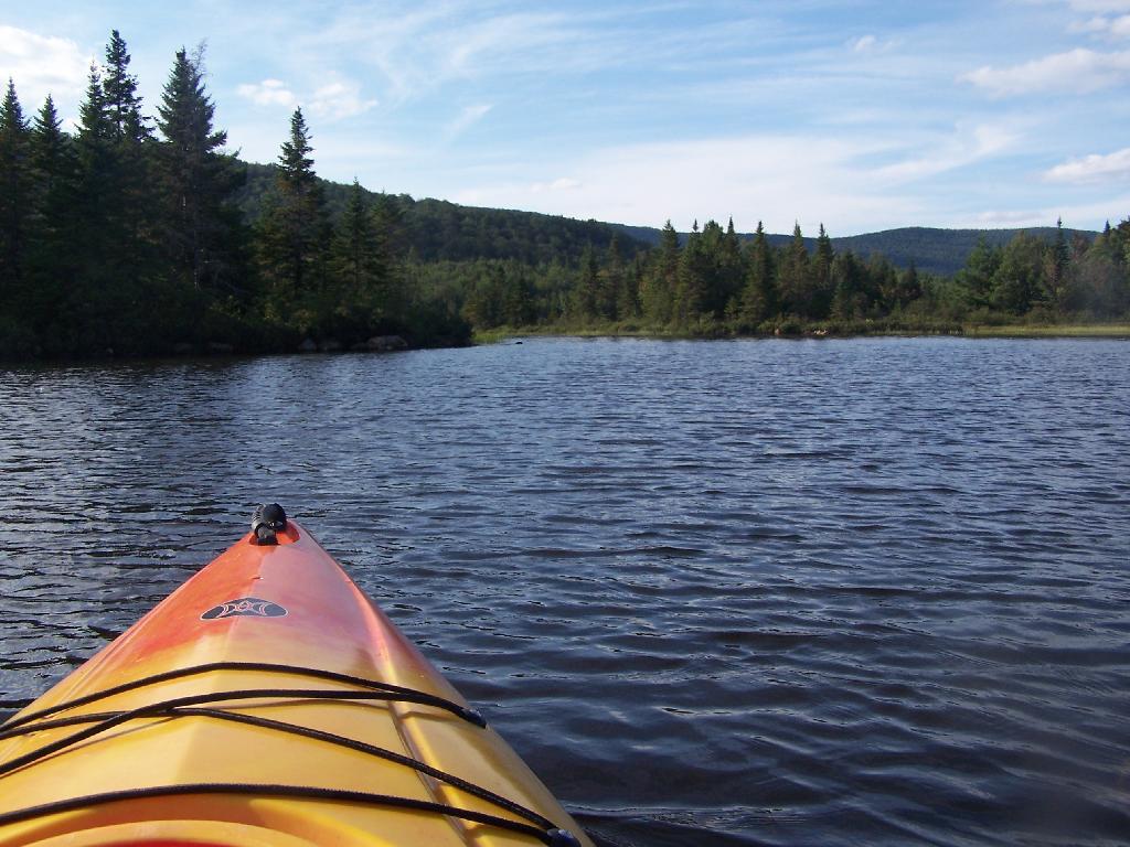
Shoreline Near Payne Brook. This is the hook that jets out into Cedar River Flow.

Shoreline Near Payne Brook

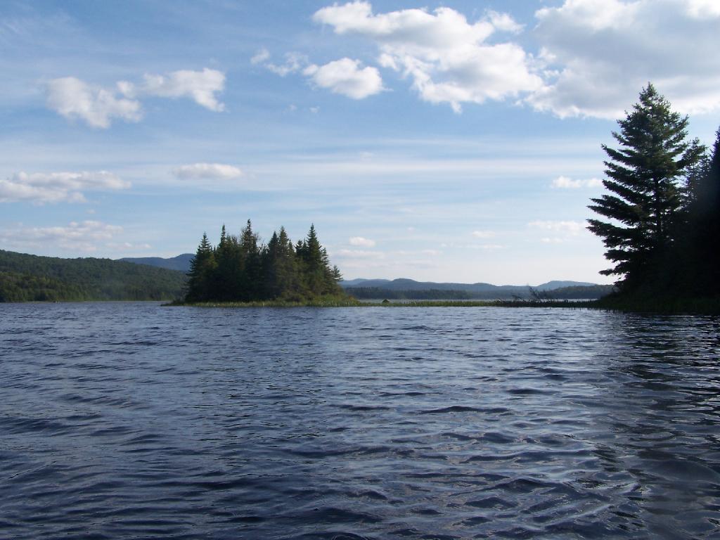
Kayaking Pass an Island. On the Cedar River Flow.

Kayaking Pass an Island

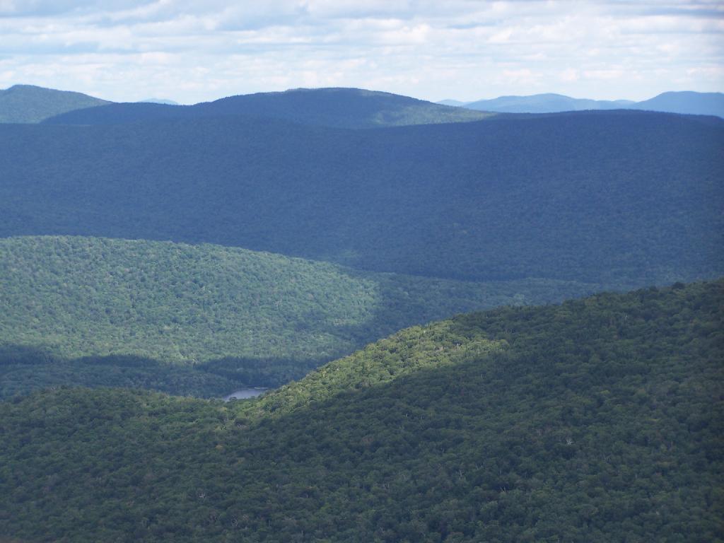
Island with Pillsbury Mountain. And several other mountains, looking west down towards the Plains.

Island with Pillsbury Mountain

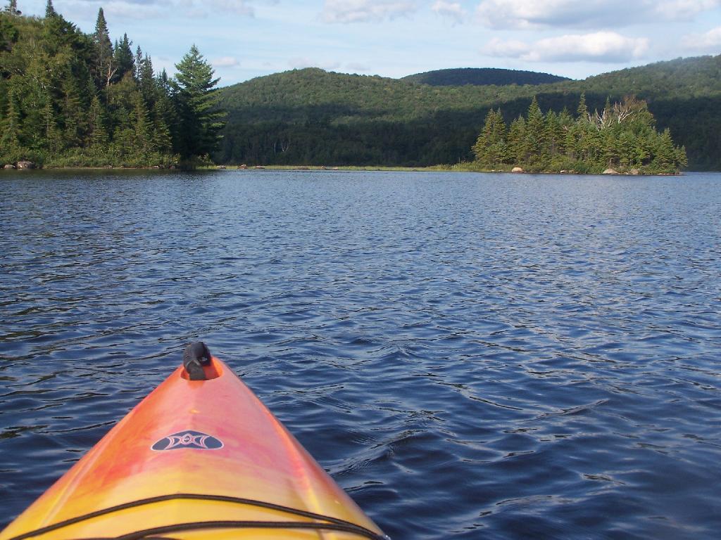
Past the Payne Brook. On the Cedar River Flow. Almost back to Wakely Dam, and the drive-in campsites.

Past the Payne Brook

Flooded Lake. This portion of the Cedar River Flow, demostrates how very much this area was once open plains, until the DEC flooded the area shortly after obtaining the land from Gould Paper Company in 1967.

Flooded Lake

Back to the Wakely Dam. As you can see, it’s already starting to get dark. By the time I’m out of the water, and cleaned up, it’s already 6:30 PM. I then go for a little drive up to the plains (an hour away), and pick blueberries.

At the door

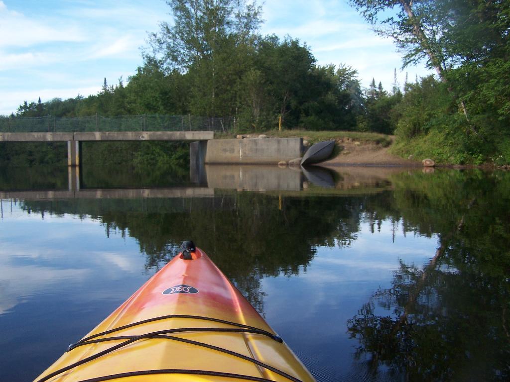
The Wakely Dam. There are no posted weight restrictions on this dam, and people regularly bring their fifth wheel campers across it. That said, the Albany bureaucrats in the DEC wants to close off vehicular access, because they don’t believe the public should be allowed to camp on their own lands, especially not in something like a pickup truck or an RV.

The Wakely Dam

Getting Ready to Pull Out. I’m camping at the site right next to Wakely Dam</>, namely site No 8.

Getting Ready to Pull Out

Here is a map of the lake. The Wakely Dam is to the North, the Cedar River flows from the south in the West Canada Wilderness.
A Rainy Day at Cedar River Flow, July 23

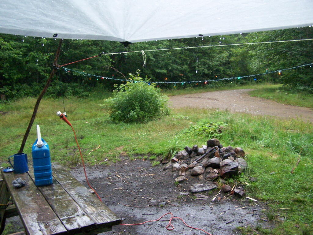
I had originally planned on exploring Moose River Plains, on Friday July 23 during my vacation. It however rained and rain, and I had to hide out under the tarp the whole time. So I spent most of the day camping out and reading.

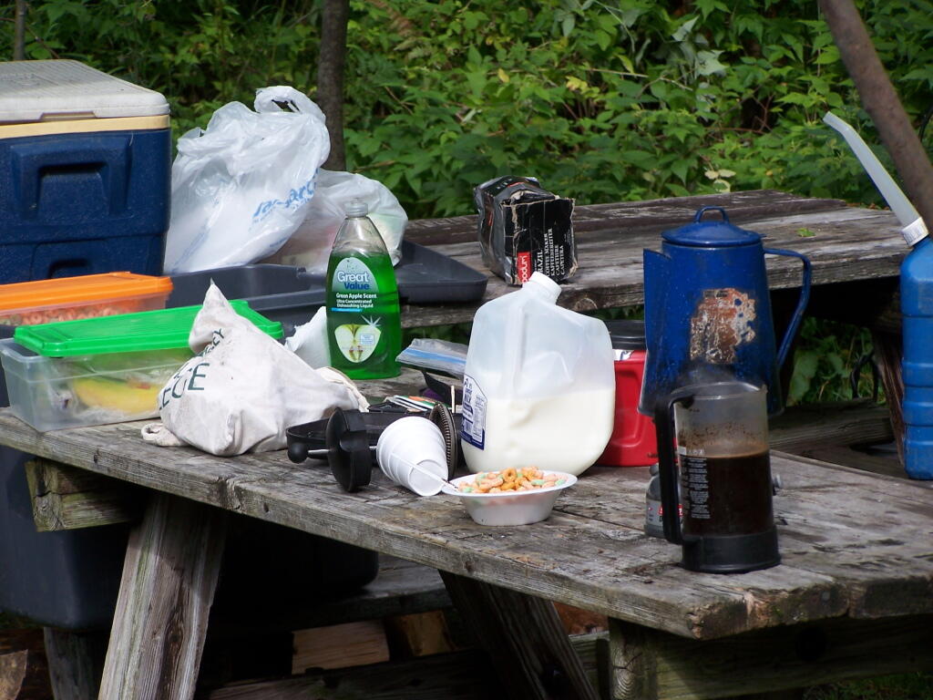
Getting Breakfast Ready. Yes, I have lots of cheap trashy plastic crap that I use for camping. And I use styrofoam bowls and plastic silverware as much as possible, because clean up only involves using some matches and a fire.

Getting Breakfast Ready

Cearel in Plastic Box. I stored all of my food in these 10 plastic boxes that I got at Walmart for $10. It helped things from getting all smashed up, and made organization much easier.

Highest Elevation Populated Places in NY State

It just poured and poured. It was a real rainy Friday. I ended up driving down to Indian Lake to buy some more ice and food, and to check the internet.

A Rainy Friday

I spent a lot of time listening to radio in the rain and reading books.
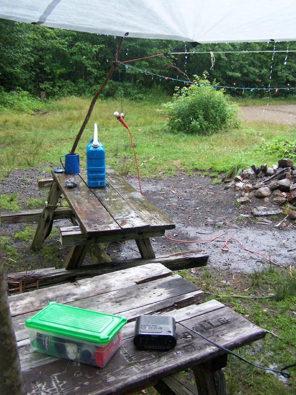
Listening to Radio in the Rain

After a while, all the rain started to make the tarp sinks due to the wet. Eventually, even the Christmas lights shorted out.
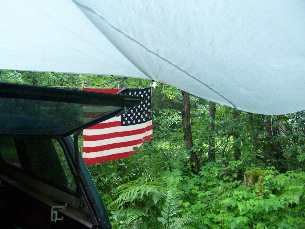
Tarp Sinks Due to Rain

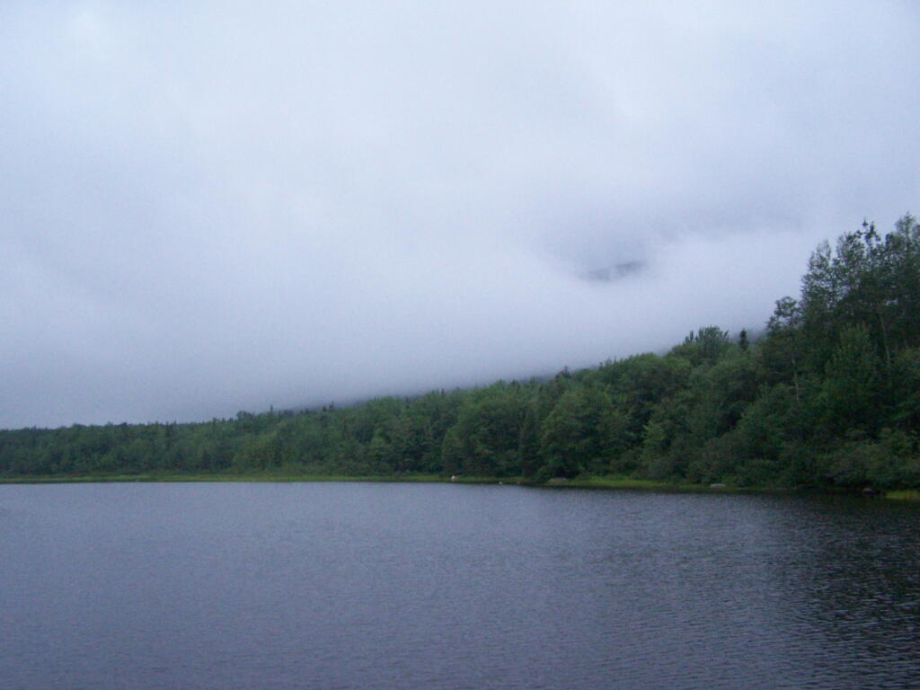
But by evening, things started to clear out at the Cedar River Flow. It was refreshing after Friday’s long day of rain.

Cedar River Flow Clearing

That was Day 3 at Cedar River Plains. It was wet, but nice to take a quiet break for a while.


View Larger Map

Cedar River Flow, July 21

The Cedar River Flow at Moose River Plains has 10 roadside campsites along with an Assembly-area. It is popular for kayaking, camping, and exploring nearby mountains and trails such as Wakely Mountain. There are also about 20 campsites that you can paddle in along the lake, and over 150 campsites located up in Moose River Plains, a 30-60 minute drive up a rough dirt road from here.

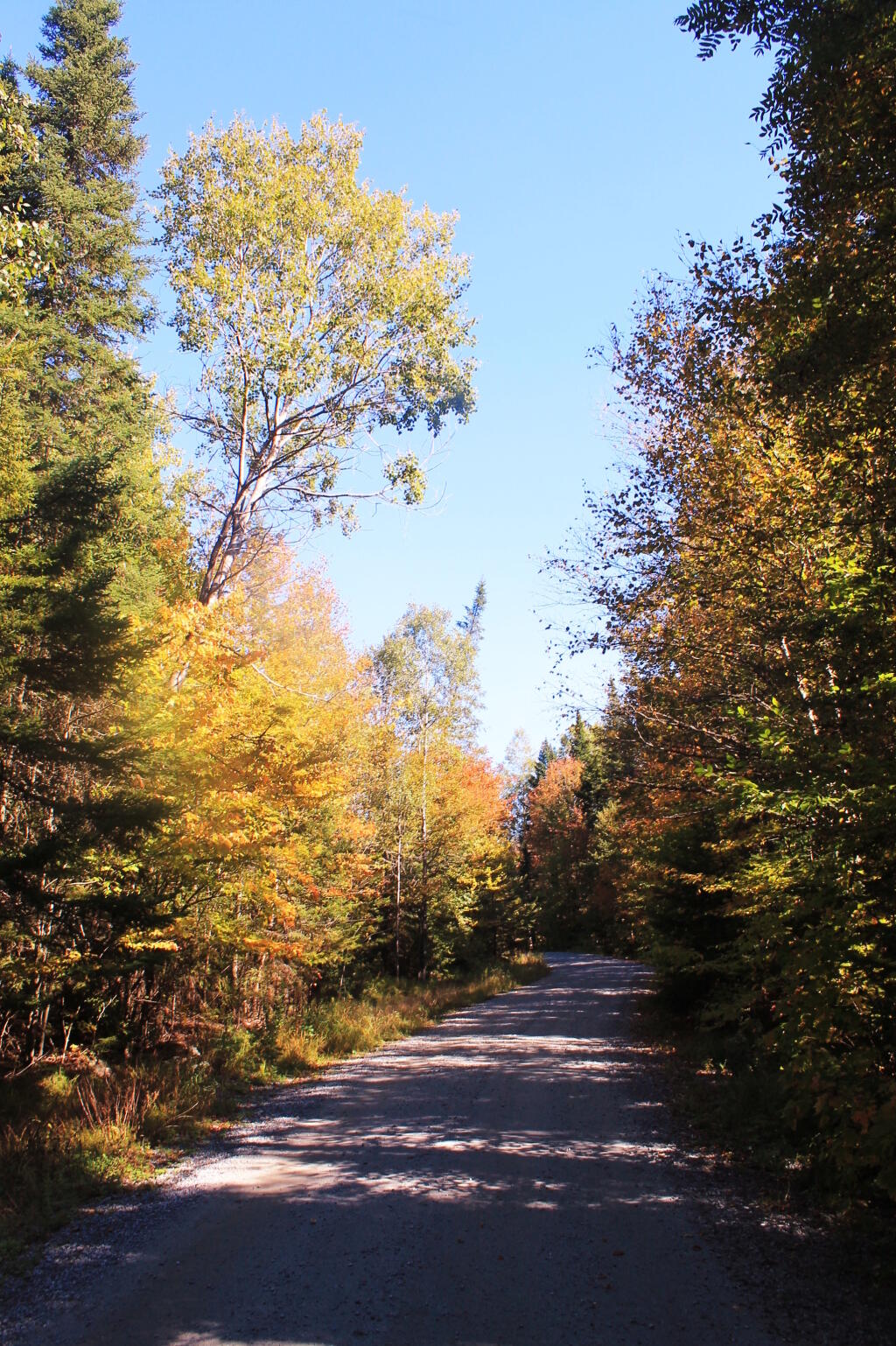
You enter via Cedar River Road.

Cedar River Road

Half of the campsites at Cedar River Flow are located across the Wakley Dam.

Wakley Dam

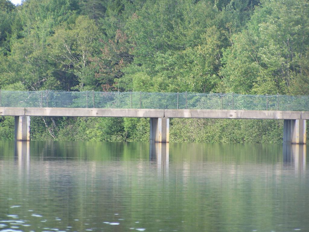
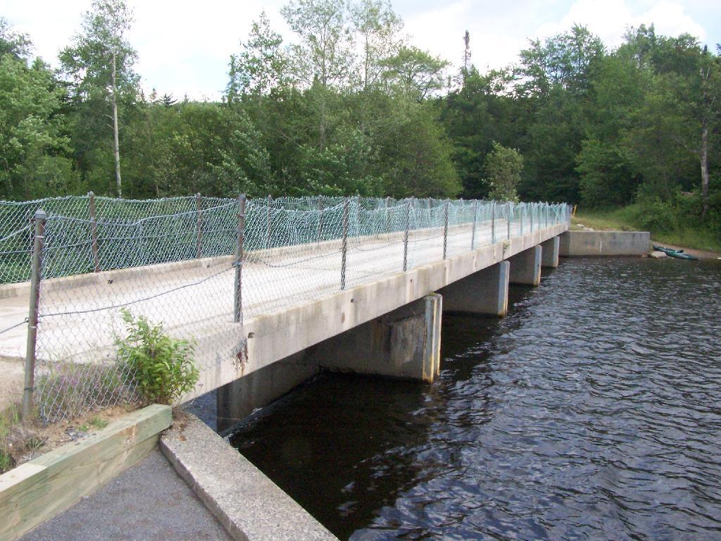
Wakley Dam Bridge. It looks fairly secure. Heck, people drag their big fifth-wheel RVs across this bridge all the time, so it has to be pretty sturdy.

Wakley Dam Bridge

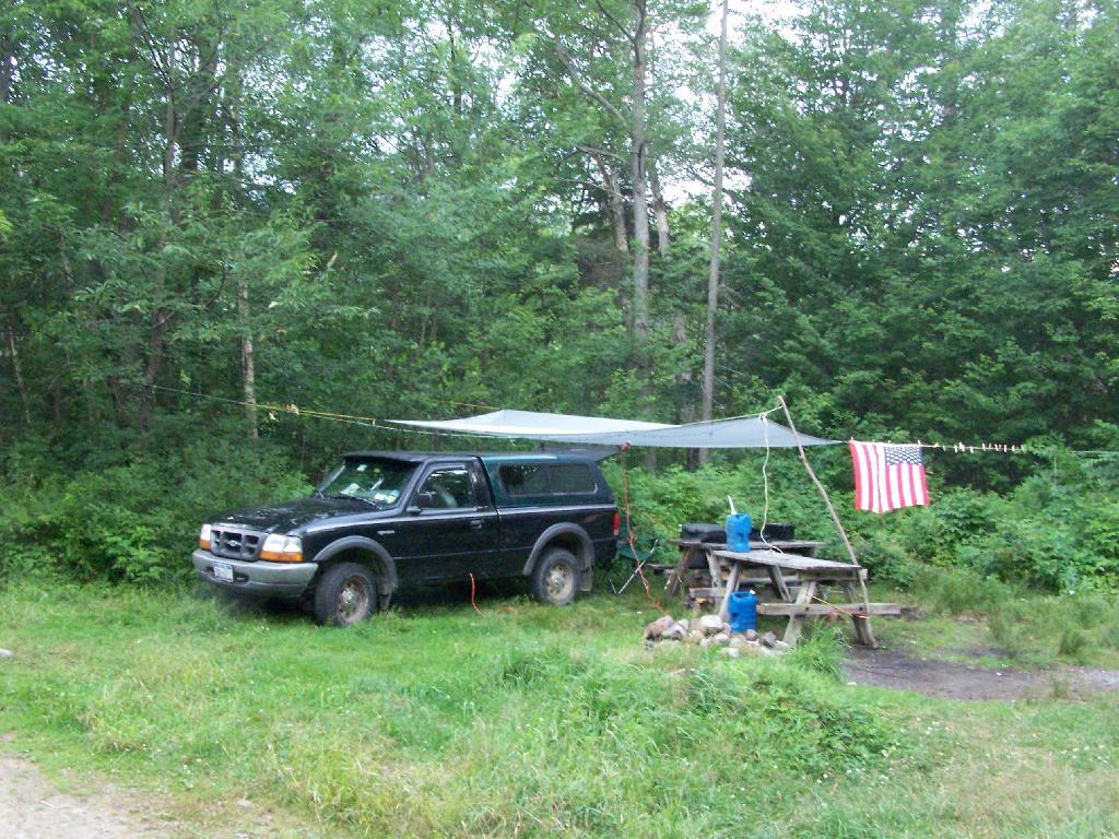
I camped out at Campsite No 9.

Campsite

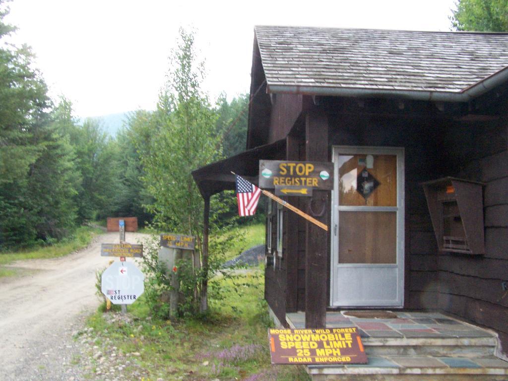
At Cedar River Flow is the Entrance to Moose River Plains, where you have to register your vehicle in case you get lost or your car or truck is otherwise found abandoned.

Entrance to Moose River Plains

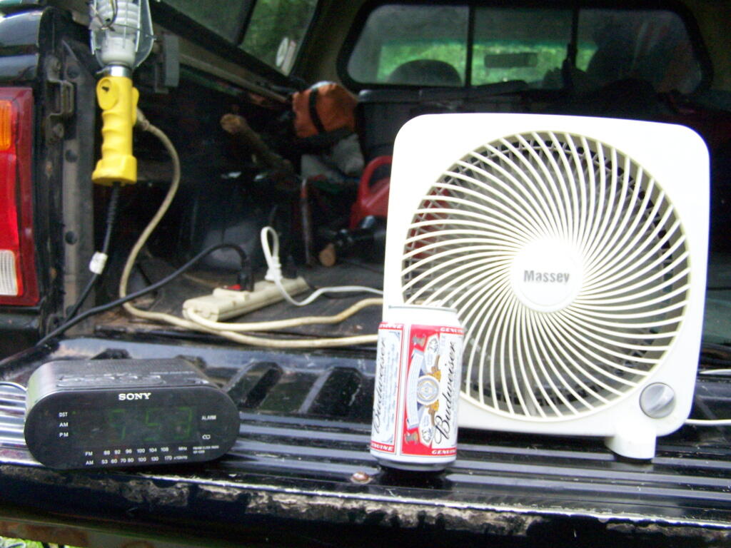
Sitting back and having a beer at Moose River Plains in the afternoon.

Afternoon

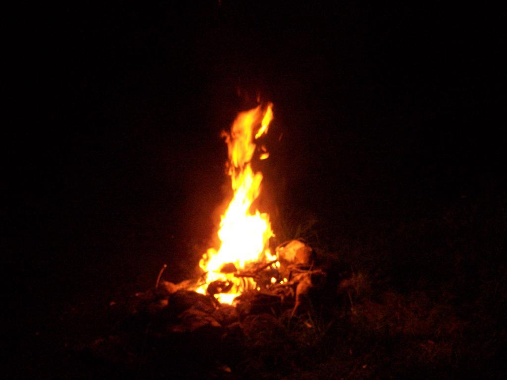
A big ass Campfire. Sigh!

 Campfire

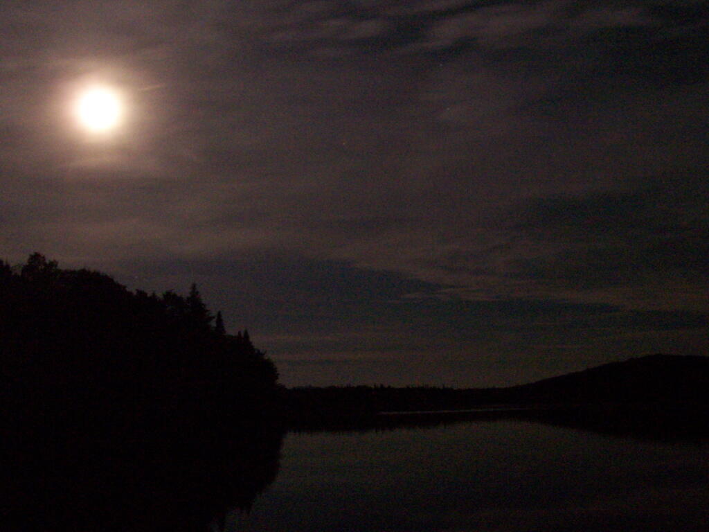
One of the neat things is walking out on Wakely dam at night and looking up at the stars. Here is moonlight on Cedar River Flow.

Moonlight on Cedar River Flow

Here is a map of the Cedar River Flow. The camping area is located on the Northern End by the dam.


View Larger Map

Severence Hill in April

One month after my first hike up Severence Hill, I decided to do another “cool” down hike up this mountain. In only a month, the look off the mountain had changed quite dramatically.

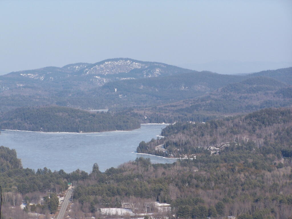
Here is Paradox Lake on March 7, 2010.

Paradox Lake Area

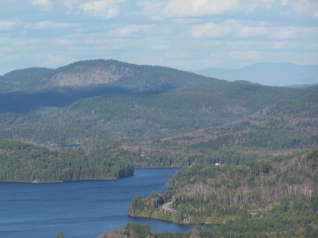
Here it is on April 11, 2010.

 Paradox Lake

With the Adirondack Snow having melted in the past month, things looked a lot different for sure. Things where already starting to show some signs of spring, and life, even if the Adirondack Winter still had another month to go before casting off it’s winter.

 Schroon Lake

I must have spent an hour staring down at Schroon Lake, just pondering the Adirondacks and possibly moving out west. It was such delightful weather out there, and while I was tired from a day hiking, there was so much beauty with the setting sun. I had no reason at all to rush back to Albany, having no commitments when I got back home, except to get ready for the next day at work.

Steep Bay

This hike, while short has so much beauty. Looking down at Steep Bay (part of Pharoah Mountain Wilderness) on Schroon Lake.

Hatchhack and Allered Hills

Then one last look at Hatchhack and Allered Hills to the south, silhouetted by the setting sun, as I descended the mountain, and headed back to Albany.


View Severance Hill Hike in a larger map

Olana

I have driven past Olana a dozen or so times. I last went up to Olana as a young child. I had read about it on Facebook, and knew it was free to wander the grounds from October 15th through May 15th. Driving by it I decided to go for a little stroll.

It is a truly delightful experience from the drive up on the twisty one-lane entrance and exit roads, and remarkable views all the way up. The road is paved, but is bumpy asphalt, so you will want to ease your way on up it.

Unemployment Rate, December 2021

Walking down the great lawn to south of Olana, looking at the views from the west of the Olana. A mountain.

Birds

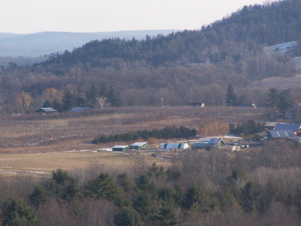
A small farm and orchard in the distance between NY 23 and US 9.

Small Farm

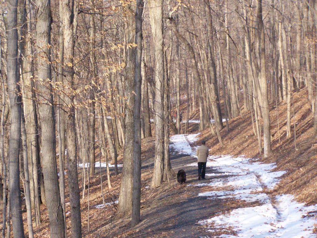
A person walks along the mid-parameter path.

Walking A Dog

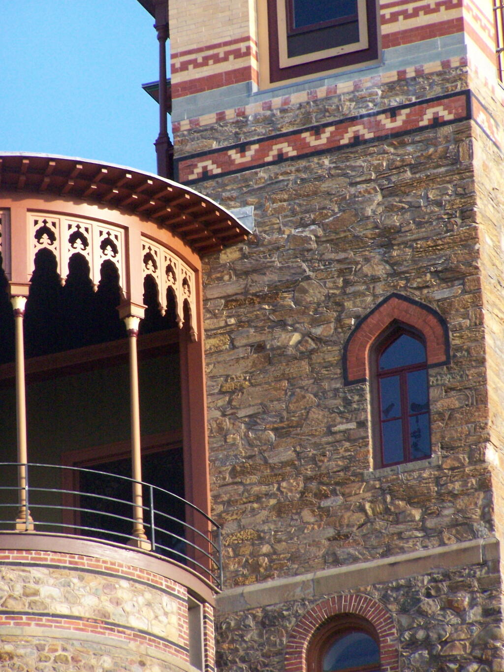
Olana Tower from the mid-parameter path.

Tower

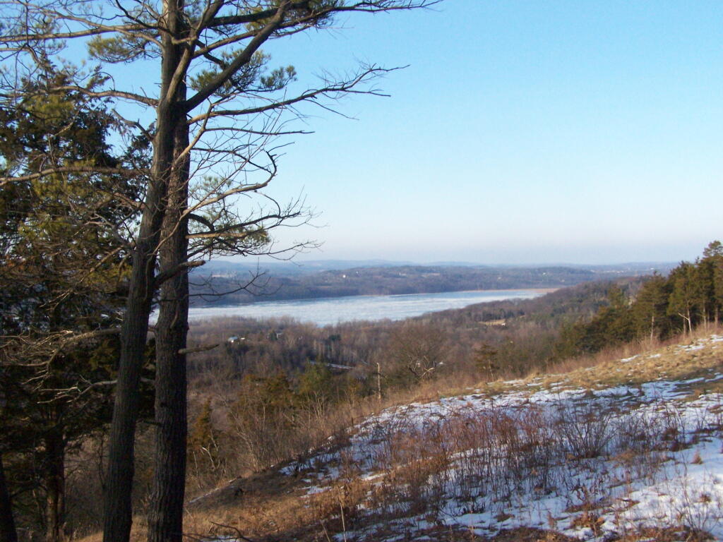
The Hudson River looking North.

Valley

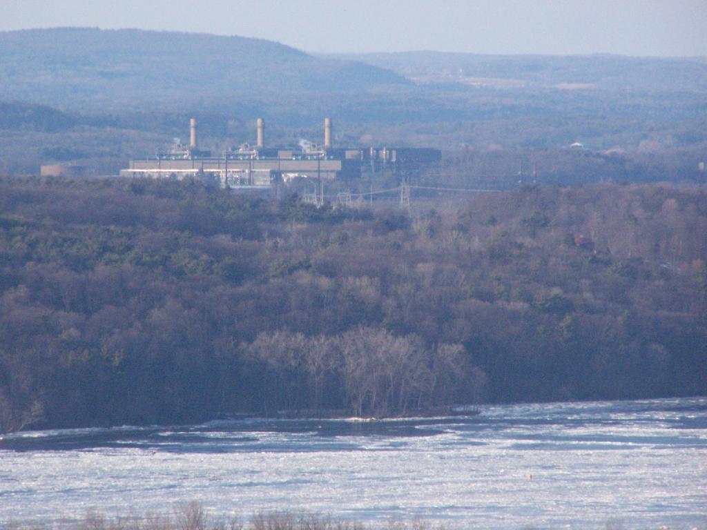
The Athens Natural Gas Power Plant.

Athens Generating Plant

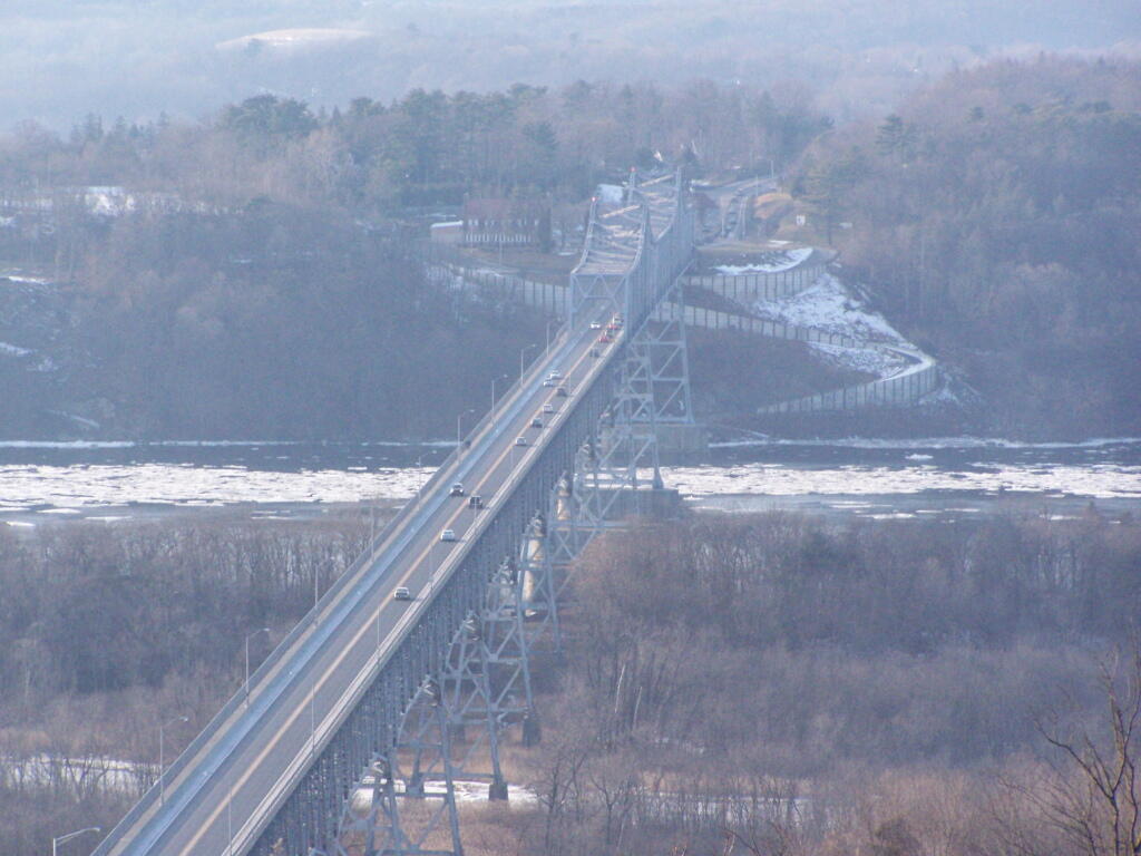
The Rip Van Winkle Bridge.

Rip Van Winkle Bridge

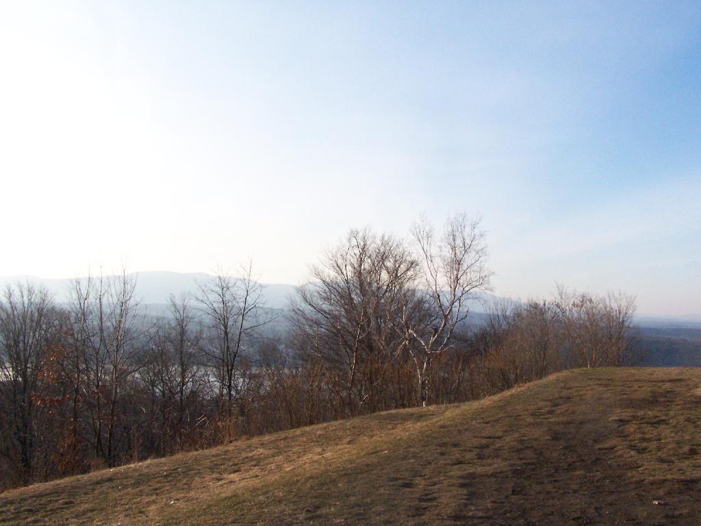
Walking along a clearing along the path.

Wood energy consumed by the residential sector, New York

The Catskill Mountains in the distance, with the Hudson River in the foreground.

Catskills

On a section of Olana overlooking Hudson they are clearing out the area to provide better views of the surrounding trails.

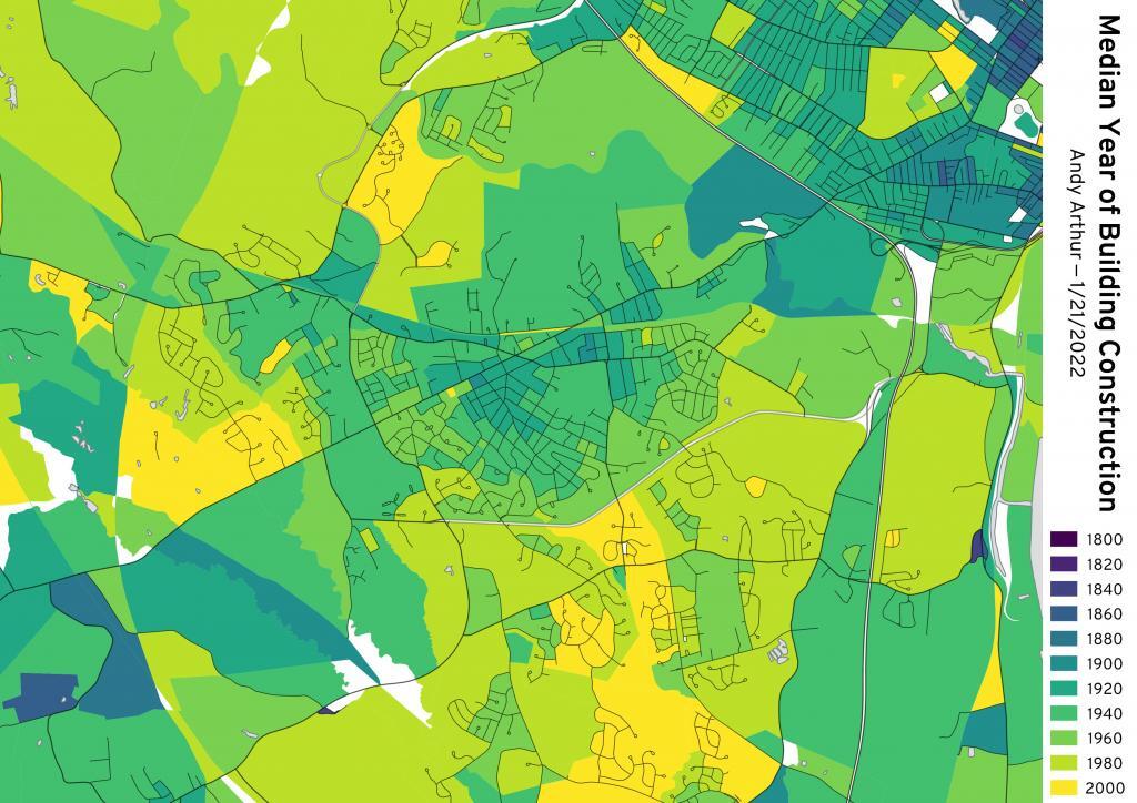
Median Year of Building Construction - Delmar


View Hikes of 2010 in a larger map

Snowshoeing at Thatcher Park/OSI

The Thatcher Park OSI Parcel with High Point and Hang Gliders Cliff have rapidly become one of my favorite local places to visit. It has replaced Partridge Run as a personal favorite, mainly because in addition to interesting woods to explore, it also has the Escarpment to look off.

Albany County Presidential Vote, through the Years

The day when I went out hiking I had previously gone to the doctor with a horrible sinus infection. I was feeling pretty sick, but the bright blue skies just beckoned me to go outside and get some fresh air. So I donned my beat up old cowboy hat, took some Zyrtec and my antibiotics, and off I went.

Looking Off High Point

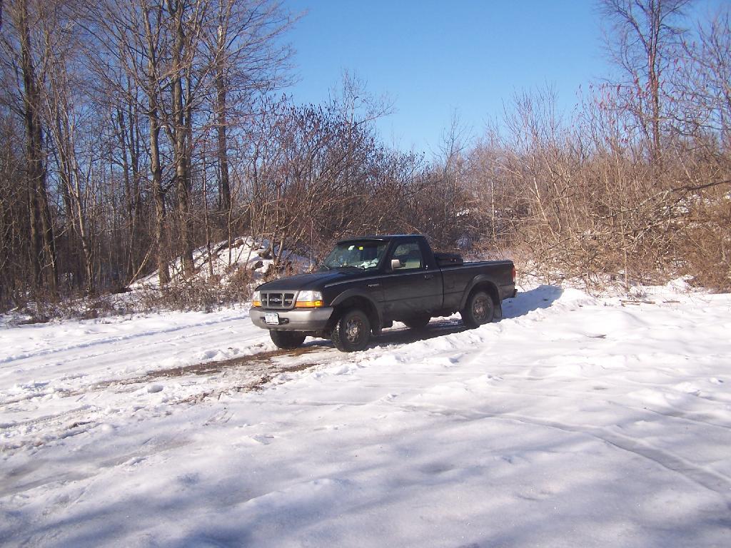
I didn’t plan on snowshoeing too far, so I decided to park up at the old Bluestone Quarry off of Carrick Road. Carrick Road was a sheet of ice, with about 2 inches of packed snow on it. Fortunately the Quarry had an area that was well plowed and it was a perfect place for me to park and not worry about getting my pickup stuck. Even with 4×4, I am so paranoid about such things these days.

Non-Icy Parking Spot

The bright sun and the blue skies were so delightful. In winter, it seems like gray snowy weather is always the norm, and it’s rare to get a truly nice day for snowshoeing. On this particular day, there was not a cloud in the sky, and it could almost not have been much nicer.

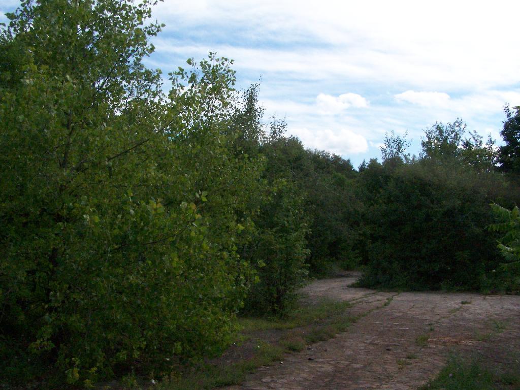
Blue Stone Mine on Carrick Road

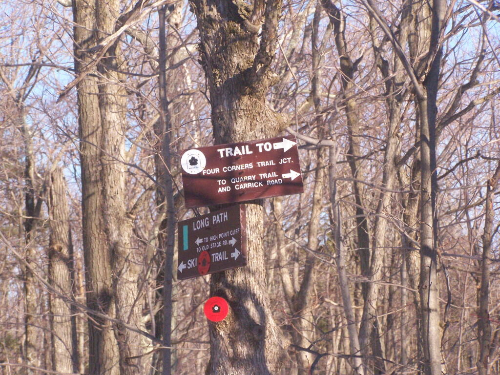
Here is the junction of the White Connector Trail and the Red Ski Loop which is multiplexed with the Long Path. This is only a short distance from High Point. The light and the weather was just so amazing on this afternoon.

Trail Junction

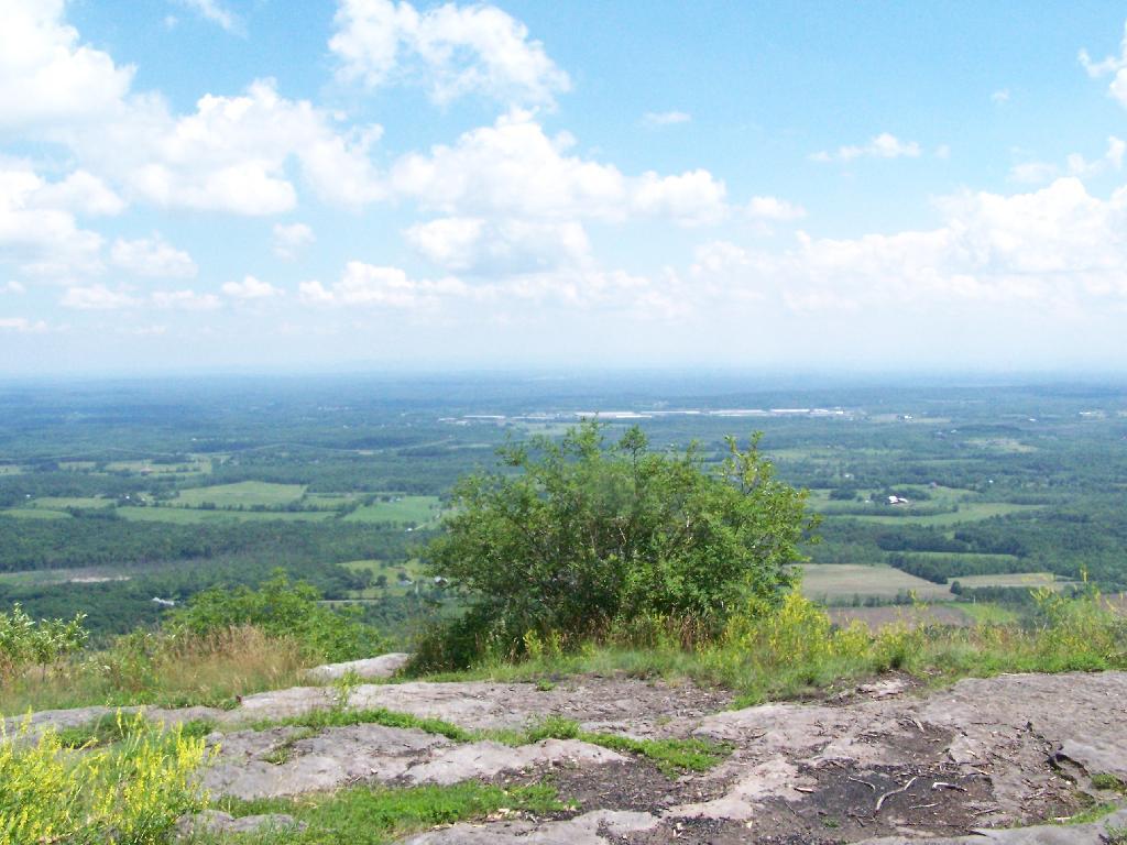
I hopped off the Red Ski Trail and took an old woods road to High Point. I had never been over this way before, and when I reached High Point from this angle, I almost didn’t even realize it was High Point, looking out through a clearing.

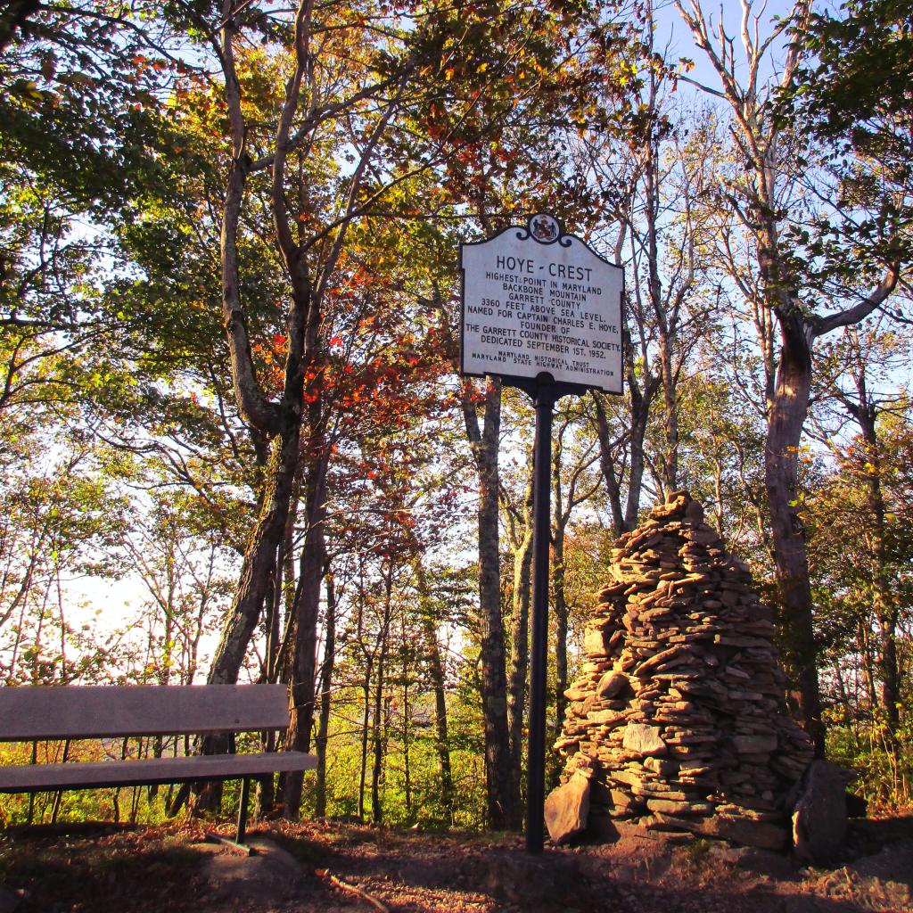
Hoye-Crest, Highest Location in Maryland

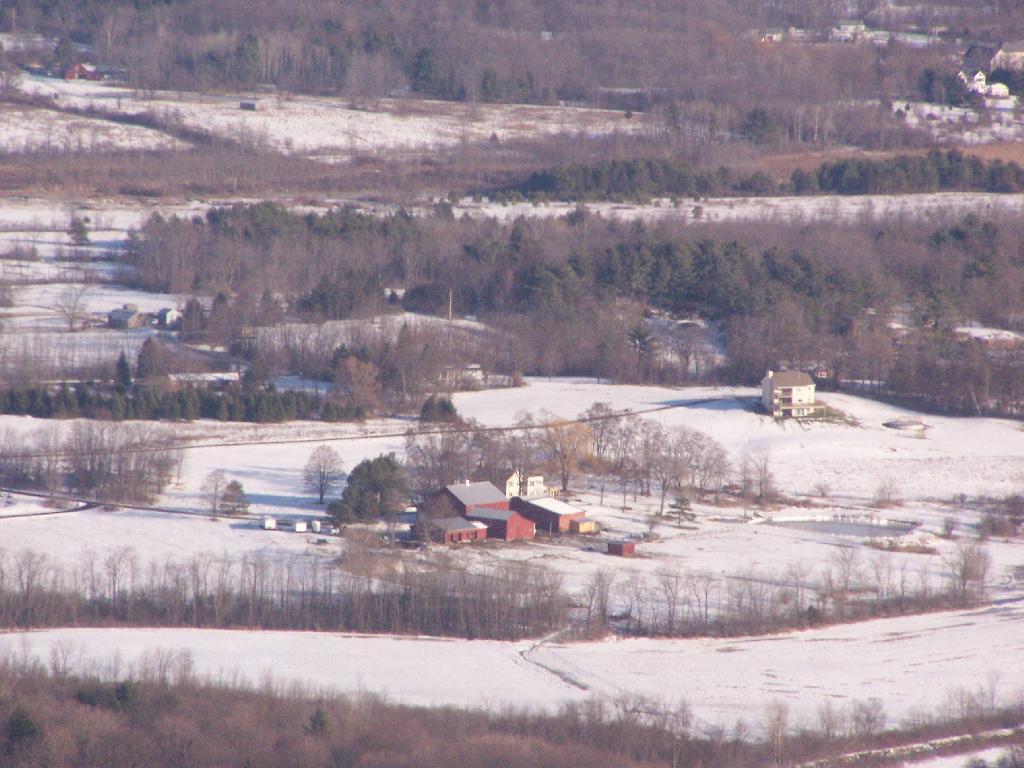
While I go up to High Point quite a bit, it is the first time I really noticed this classic looking farm in Guilderland with the barns and the house. Obviously, you can’t tell what kind of livestock they raise from this picture, but it is a very classic old farm house and old barns, probably from back when it was a dairy operation some time ago.

Cute Little Farm

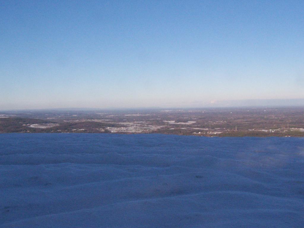
All of the sun and fresh air made me start to feel better so I snowshoed on south to Hang Gliders cliff. While I usually would take the unmarked escarpment trail all the way on over in the summer, I took for the first part the Long Path and cut over to the unmarked trail, to avoid the section that runs right along the edge. Here we are looking off Hang Gliders cliff, down into the valley.

 Hang Gliders Cliff

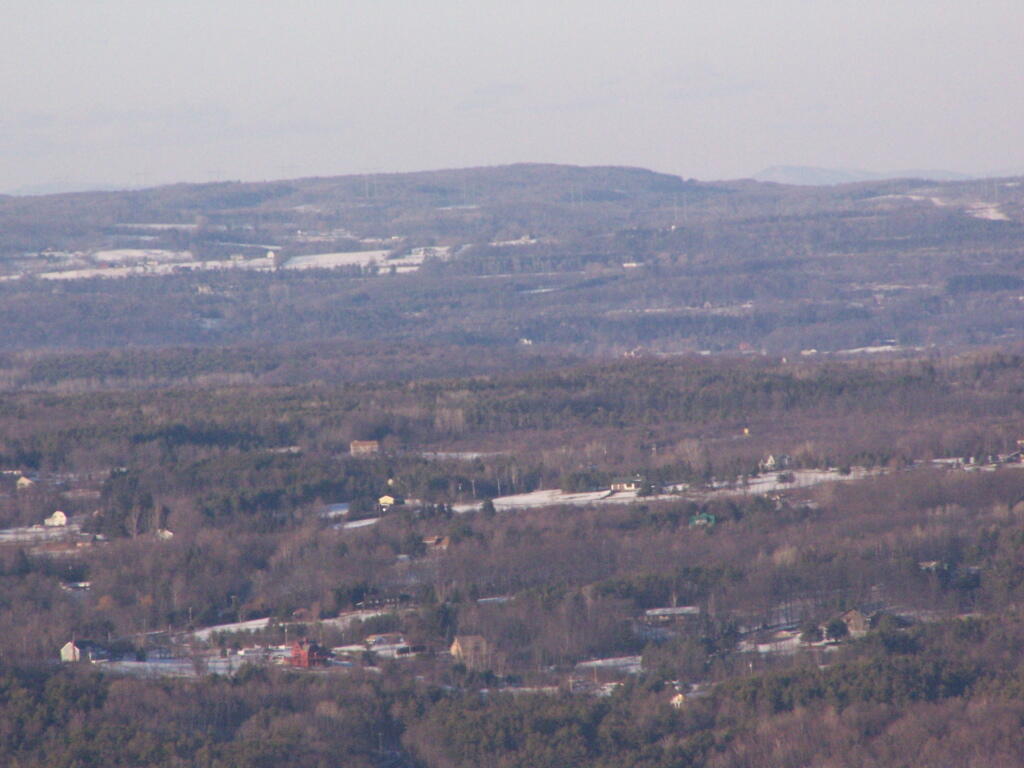
Settles Hill can viewed from Hang Gliders Cliff quite well. I have always loved the look Settles Hill if only for it’s rolling nature and all of beautiful small farms up on it. Most of this country is still in the Town of Guilderland, although some is in Princetown.

Settles Hill

Snowshoeing along Hang Gliders Road. There was some icy patches and I passed a group of young kids snowmobiling, probably from one of the neighboring farms.

Along Hang Gliders Cliff Road

One of the things I don’t like about this time of year is the days are so short. That said, each and every day is getting a little longer, and twilight is now around 5 PM every night. In a month, the twilight will be much closer to 6 PM. Sunset was about 4:30 PM.

Setting Sun

There was waxing crescent moon hiking back to the truck. Quite beautiful, as the sun set in the opposite direction. It made for a beautiful hike on back to my pickup, as I headed home for the day on this wonderful day.

Almost Full Moon

The route I took is in green.

Snake Mountain in a Snowstorm

I was up in Addison, Vermont to watch the demolition of the Champlain Bridge and I figured while I was up there I would go for a hike in the afternoon to see some of the beautiful vistas of the Champlain Valley. I have only been hiking once before on the Vermont side of the lake, and never down in this part of the Champlain Valley.

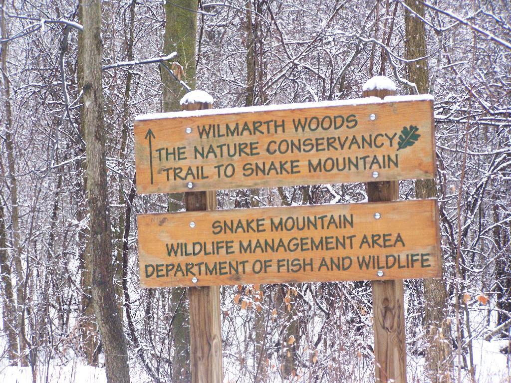
Snake Mountain Preserve Sign

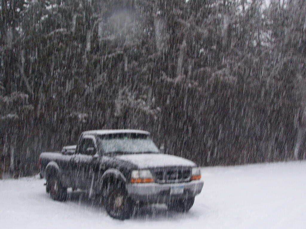
I really was hoping for a nice clear day with blue skies. What I got instead was heavy snow squalls and cold winds whipping along the mountain. I am sure things would have been quite beautiful if that was the conditions. Yet things where just a bit snowier throughout the day. This is what it looked like 3 PM when I was done hiking and reaching my truck to return back to Albany.

Reaching My Truck

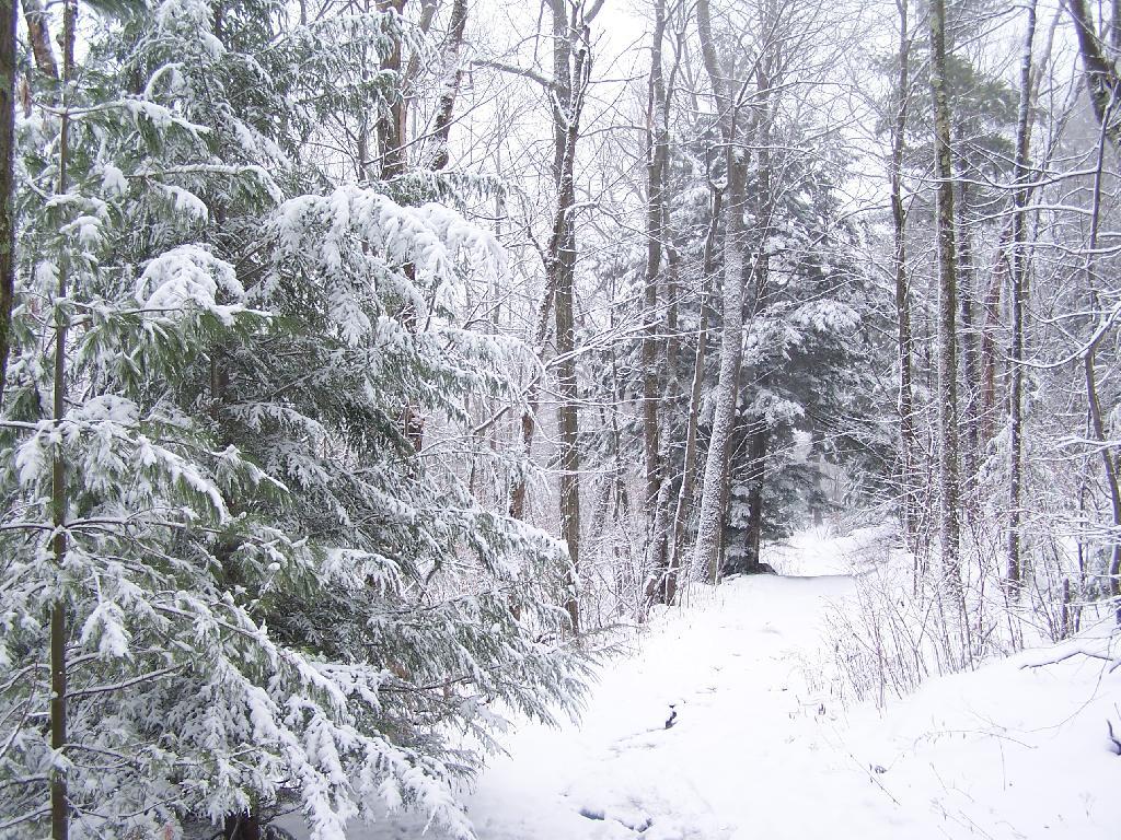
Regardless, it was a beautiful hike up the mountain with the trees being snow covered and the trail easy to follow. Everything looked so fresh from the morning’s snow, and the on-and-off sometimes very heavy snow throughout the day. As you can see, the trail is easily accessible on foot in the summertime, and in the winter by cross country skis or snowshoes.

Descending the Mountain

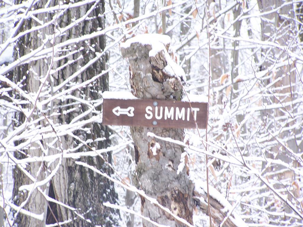
There are occasional trail markers up the mountain, including signs on turns for the Summit, but a few side trails so you will want to make sure you have a map. Fortunately, you can get one from Vermont DNR with on Snake Mountain WMA. One thing with that map is it doesn’t include a lot of the switchbacks, so you might think you have gotten off the trail even though you haven’t. For the most part, it’s not bad, as it’s an old woods road.

Turn for Summit

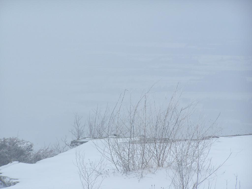
The view off the summit of Snake Mountain is one of the most remarkable ones (so I’ve been told on the Internet), but not a day when it’s snowing. You can see a little of the farm fields below when the snow let up a little bit, but it pretty much was a blind view. I was seriously disappointed, after driving up to Addison from Albany, NY and seeing neither the demolition of the bridge or off Snake Mountain from the snow.

View off Snake Mountain

At times walking around the Summit of Snake Mountain I couldn’t really tell if it was snowing as much as I was up in the clouds. It was cold and the wind was whipping around, and visibility was really poor.

Cold on Snake Mountain.

It’s winter out, and it is snows in Vermont. The moral of the story is while hiking is delightful in fresh winter snows, it also means that visibility off the mountain really isn’t all that great.