Pharaoh Mountain is located about 10 miles east of Schroon Lake, and can be accessed from the Long Swing / Pharaoh Mountain Trail from the North along with a much steeper and longer trail from Pharaoh Lake from south.
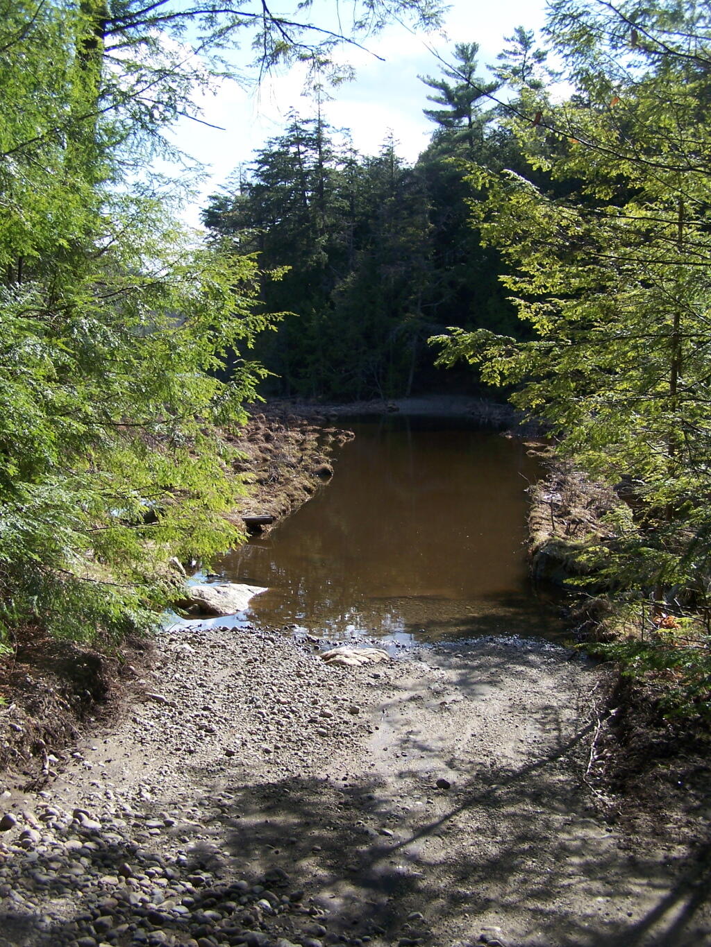
If you choose to take the infamous and rough Crane Pond Truck Trail to it’s end, and then park at Crane Pond, it’s only about a 3 1/2 mile hike up the mountain. If you stop at Alder Pond, and don’t drive through the shallow end of Alder Pond to get to the last mile of Crane Pond Road, then it’s a 4 1/2 mile hike each way.
Below is Alder Pond. It was an amazing morning, as the rain let up and started to clear off. The truck trail cuts through the end of the pond, and with the recent rains, it was deeper then I wanted to take my old pickup through.
At end of Crane Pond Road is Crane Pond (not surpisingly!) There is a parking area here, and Crane Pond is known for it’s good fishing and beauty.
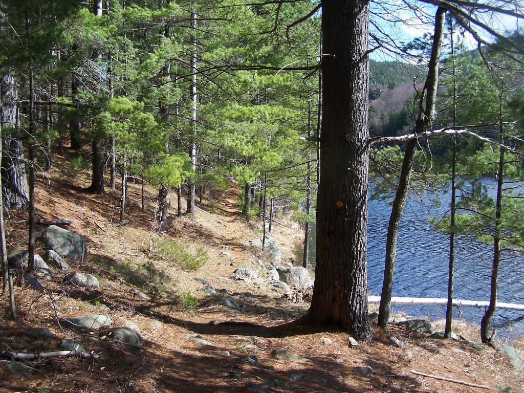
Reaching Glidden Marsh on the Pharaoh Mountain Trail. Pharoah Mountain is in the distance, with the peak sticking up. Most of the trail is relatively flat, until you reach the mountain, and then you start climbing.
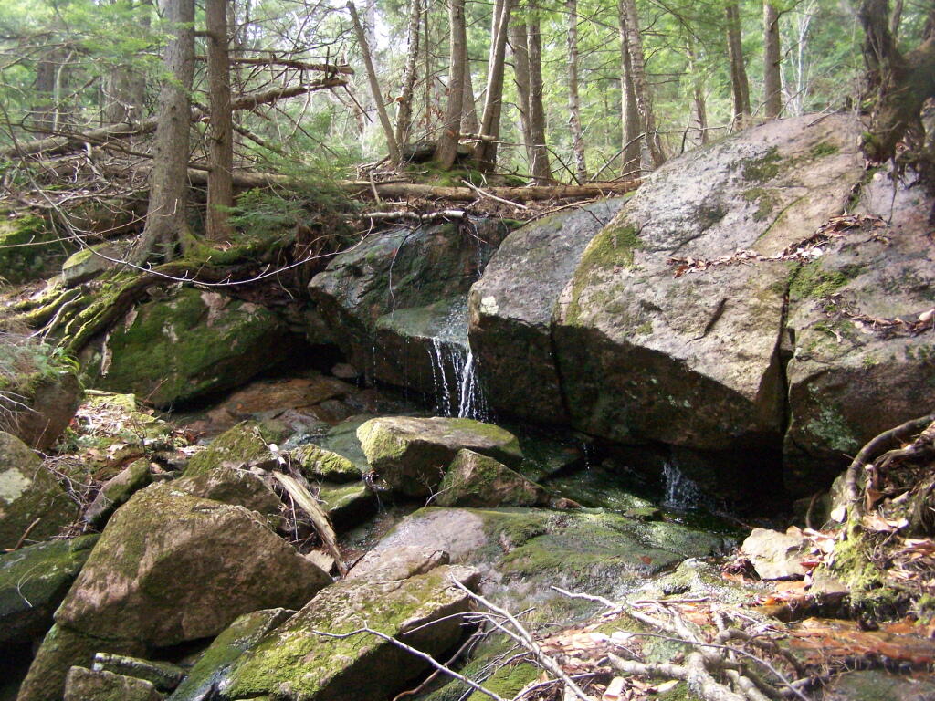
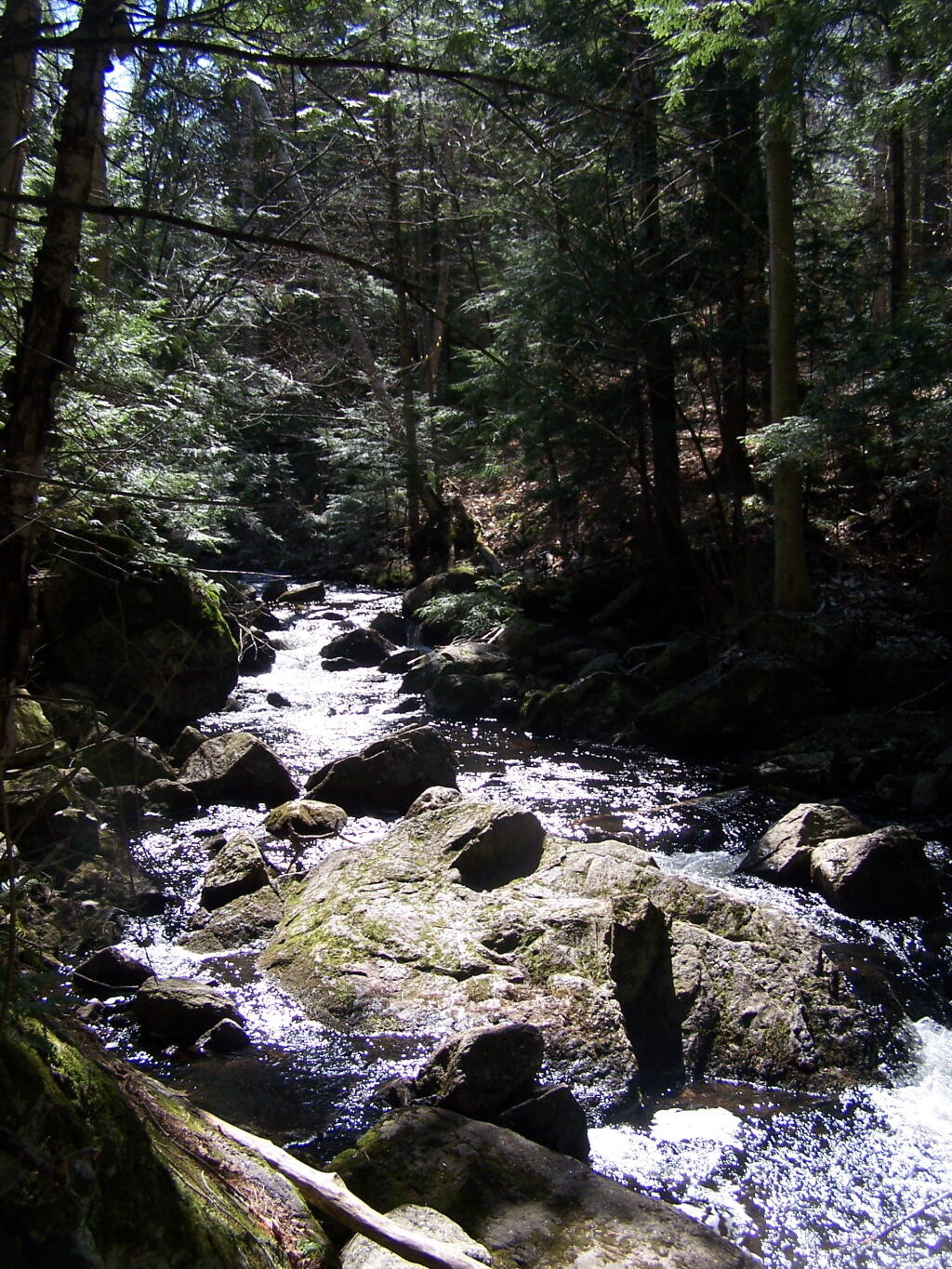
About halfway up there, there is the most charming little water fall.
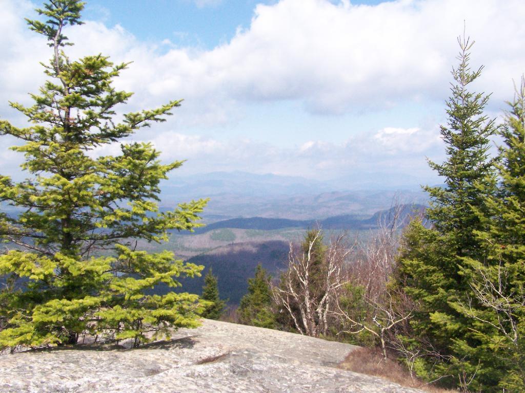
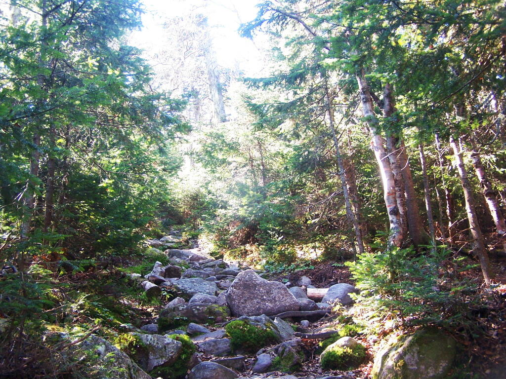
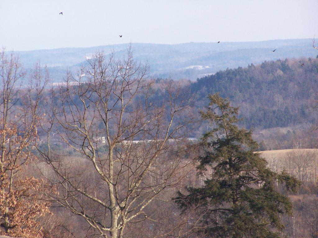
As you climb, views become progressively better.
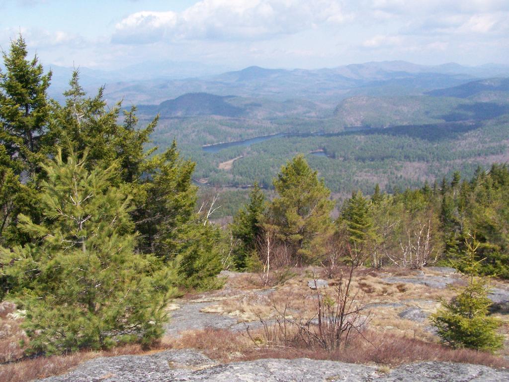
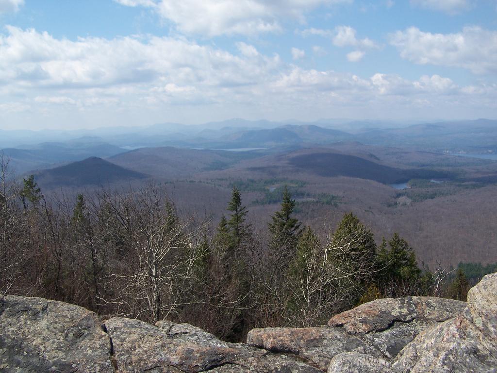
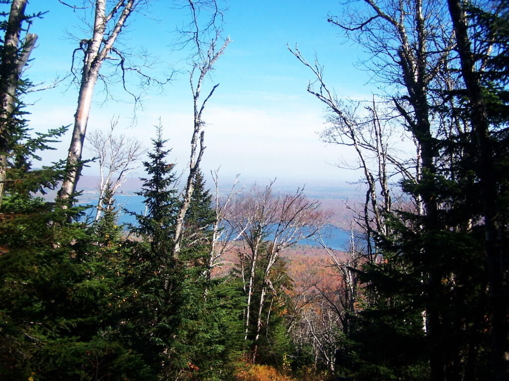
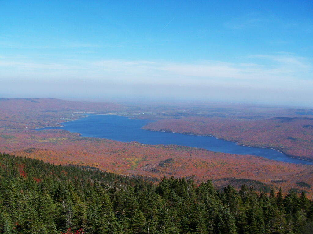
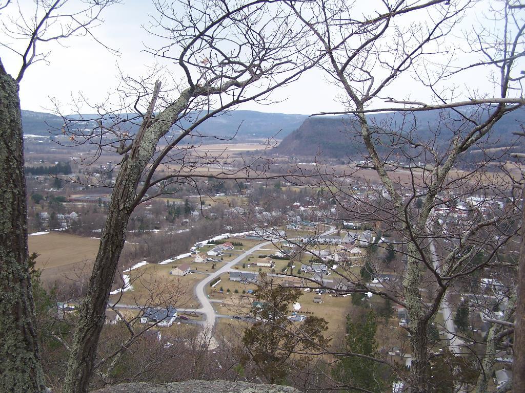
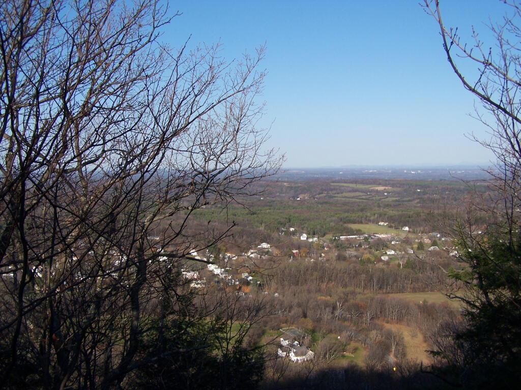
Reaching the summit, there are views in almost all directions, although you have to wonder around the top of the mountain to get all views. Here is looking North-East toward Ticonderoga. You can see Lake Champlain in the distance — barely, along with Crane Pond, Alder Pond, Oxbow Lake, and other features up close.
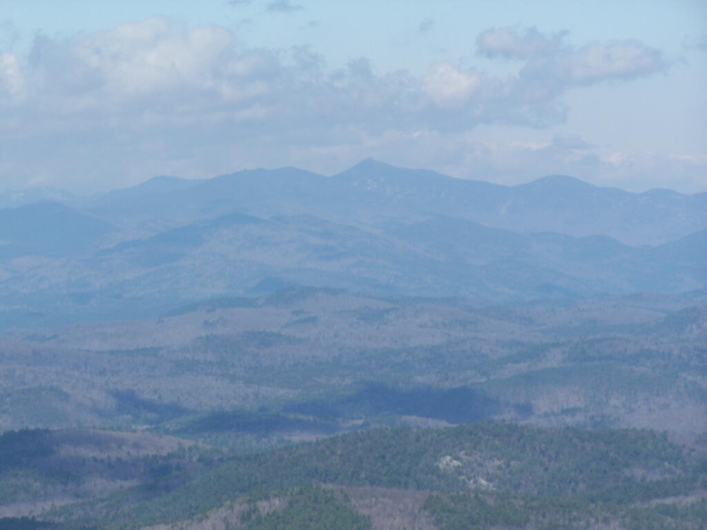
On the northernly view, you have nice views of the High Peaks Region of the Adirondacks, with Mount Marcy and Alonquin Mountains peaking out top.
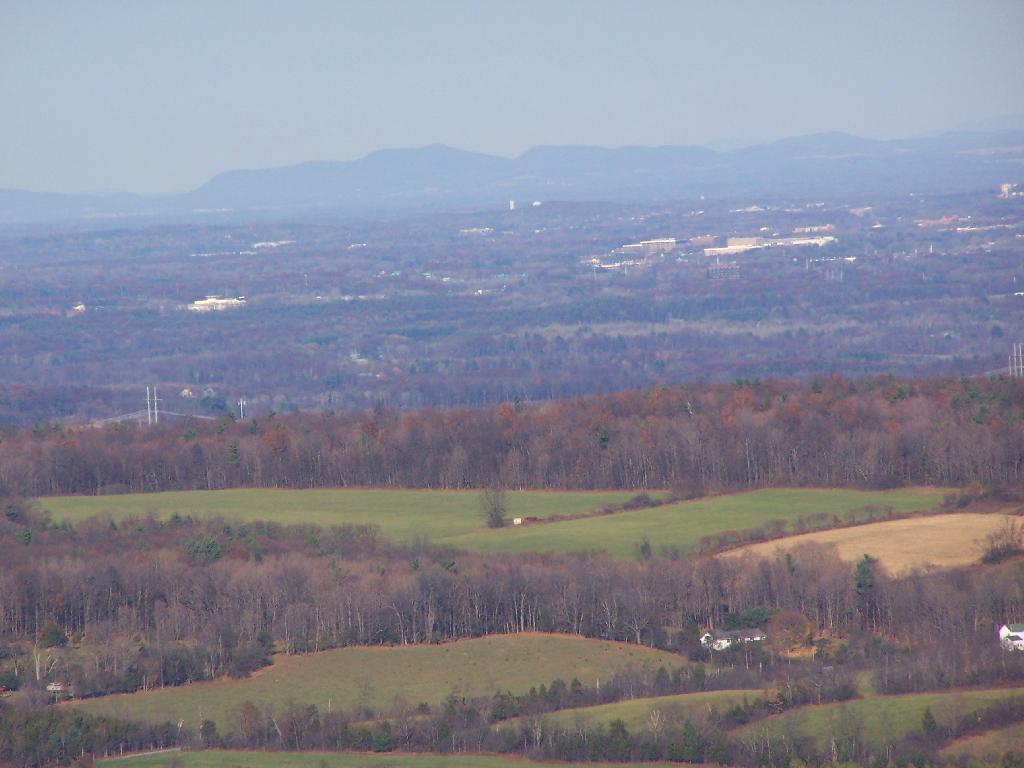
To the south-west, there are view of Gore Mountain (ski trails still with snow on it as of April 11).
There also is a primative campsite on top of Pharaoh Mountain.
To the South-East there is Pharaoh Lake, which I did not visit, but the maps show about 5 lean-tos surround it.
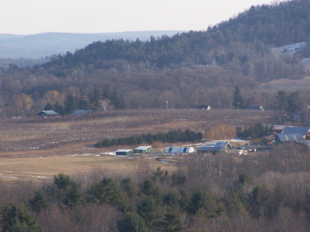
Desolate Swamp is quite purty from the mountain.
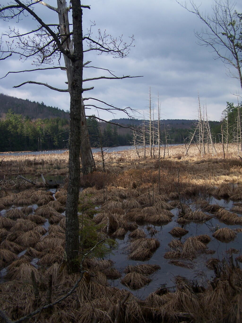
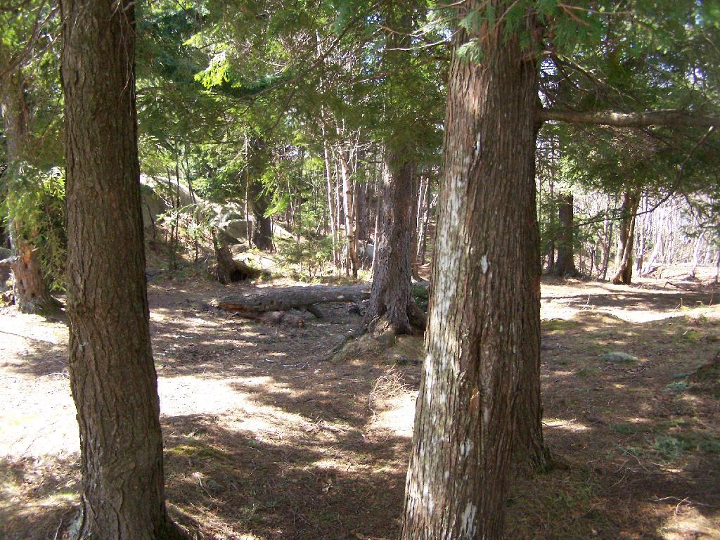
After hiking up the mountain, I took a side trip to the beautiful Oxbow Pond, and the other side of Glidden Marsh. Here is the Long-Swing Trail along the edge of Glidden Marsh, near the turn off to Oxbow Lake.
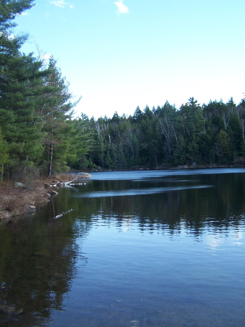
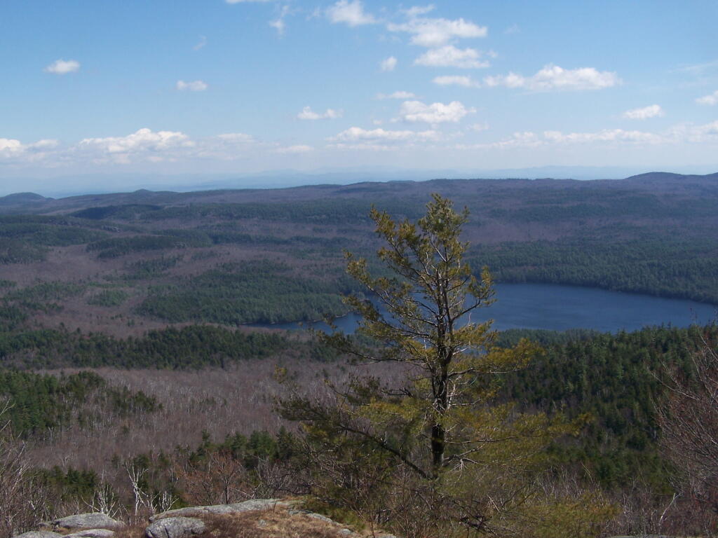
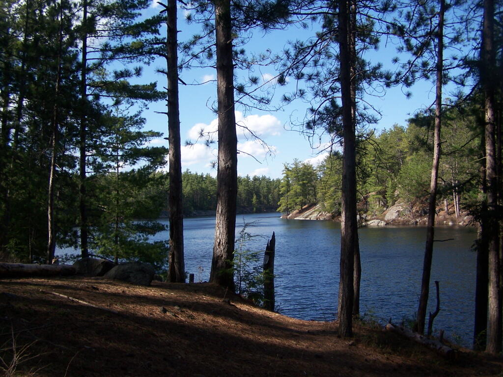
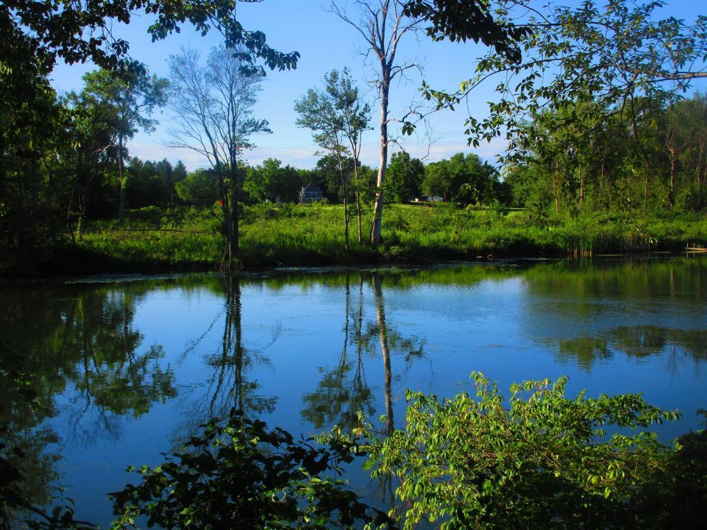
Oxbow Lake is so beautiful, and probably real deep.
The Oxbow Lean-To. It looks well used, but is in good shape, and has a decent outhouse a little ways from it, a fire pit, along with lots of water for cooking in the nearby pond.
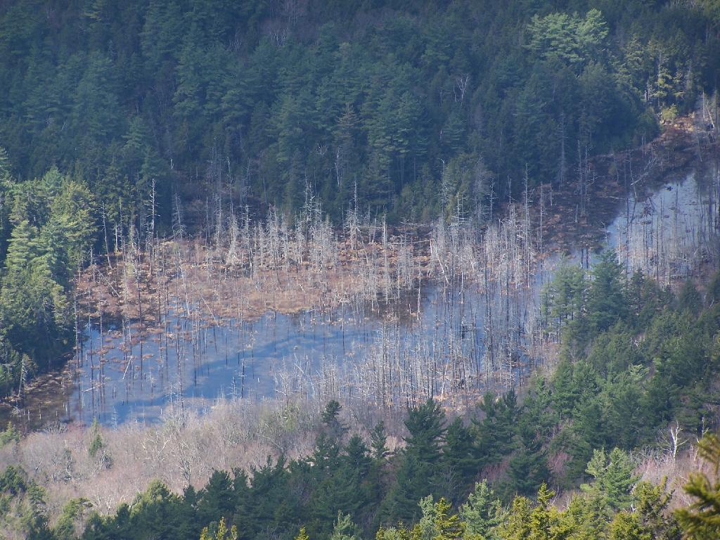
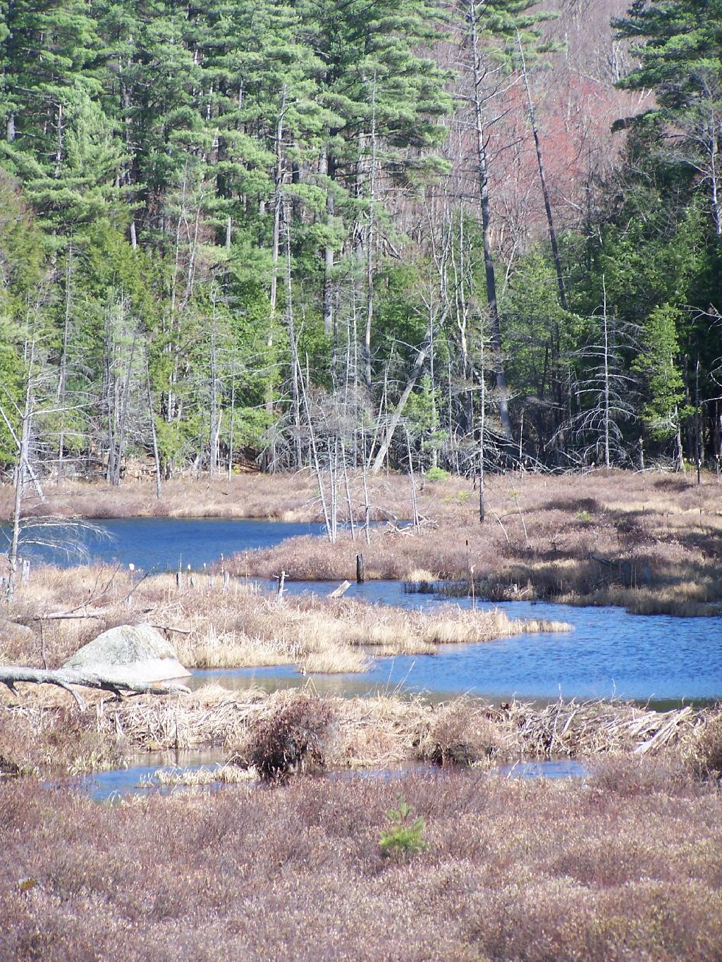
The one end of Oxbow Lake is swampy, as it runs between outfall of Crab Pond down to Oxbow.
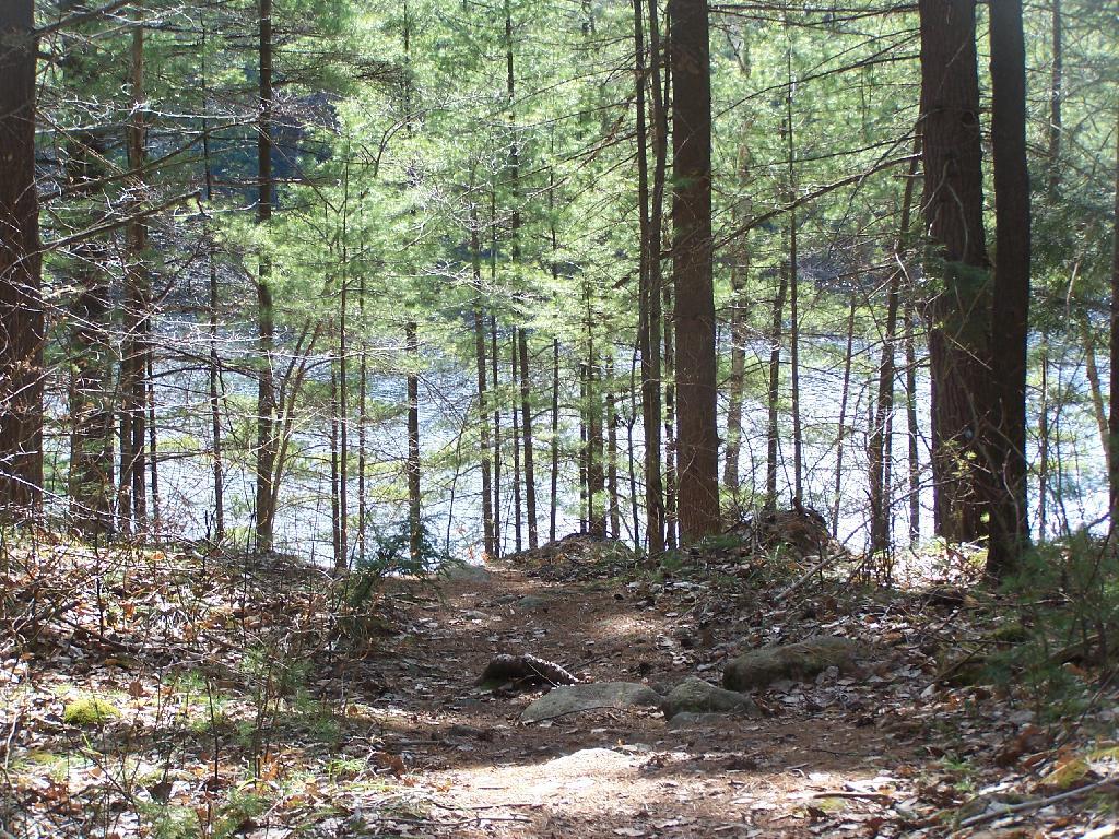
Heading back to the truck, the sun flickers on the outlet of Glidden Marsh.
An amazing hike. Definitely want to come back, and possibly spend a night at Oxbow Pond.
Last October I went for a hike up Lyon Mountain. The first 3/4 of a mile you can drive up to the parking lot, then from there, it’s a two mile hike to the summit, or about 3 miles if you take the new trail.
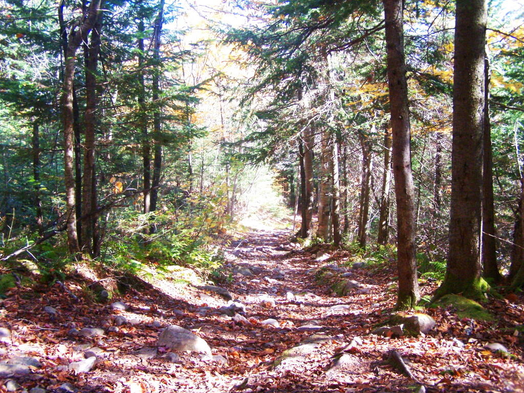
The old trail, following an old woods road is eroded and rough in places, but it well traveled as it much shorter. The new trail, being so twisty is not as well traveled, but it is far less steep and tends to be less wet in the spring time.
Heading up from the parking area, the first part of the trail follows the old trails route, before swinging left near a registration kiosk.
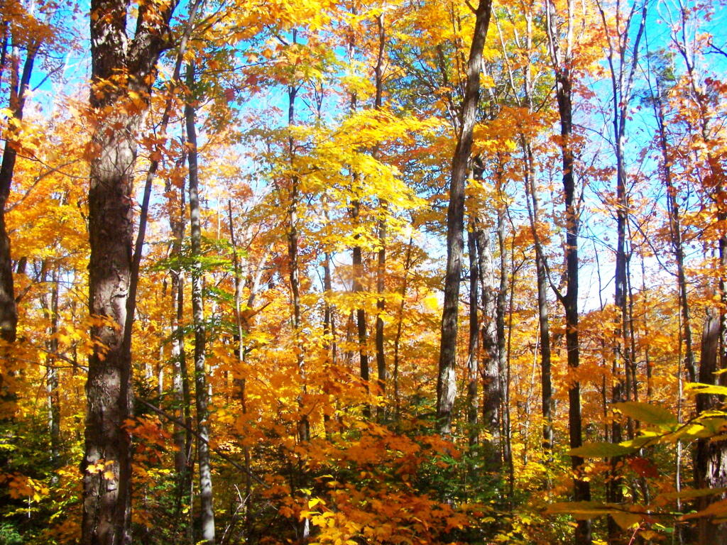
It was very colorful along the new trail as all the maples where at about peak color going up the mountain.
I decided to switch over from the new trail to the old trail, once I reached the point where the trails reached their closest point at the midpoint up the mountain.
As you get about 2/3rds the way up the mountain, you can look back and see Lake Chazy.
The old trail certainly is eroded and in rough sape in some parts. You can understand why they re-routed it.
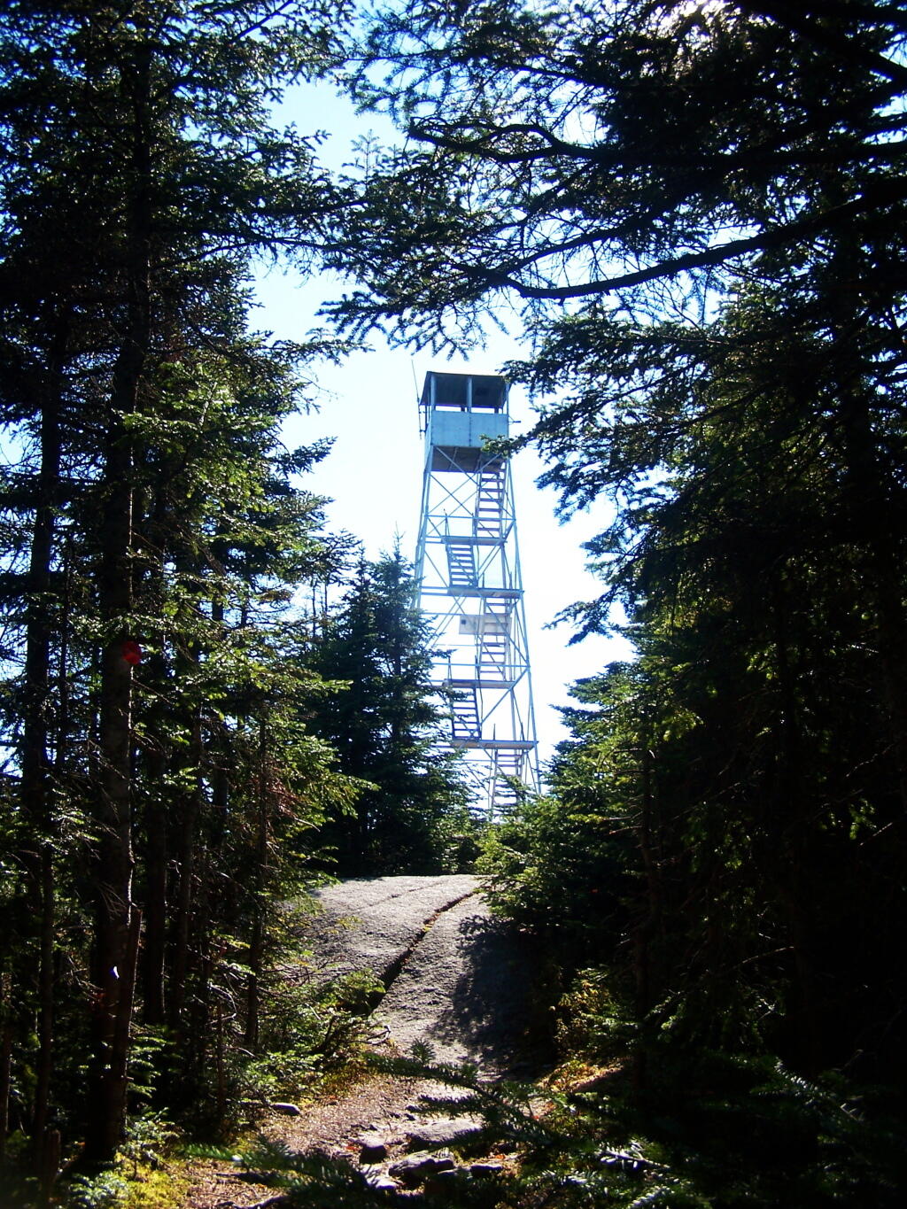
Ah, finally see the fire tower.
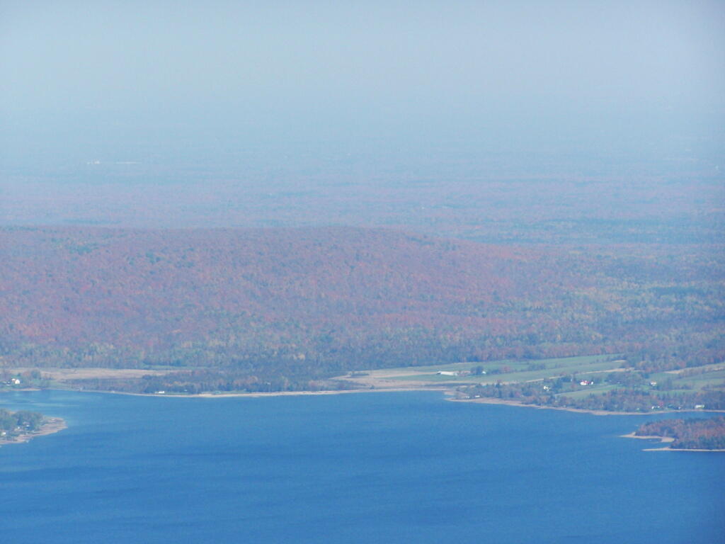
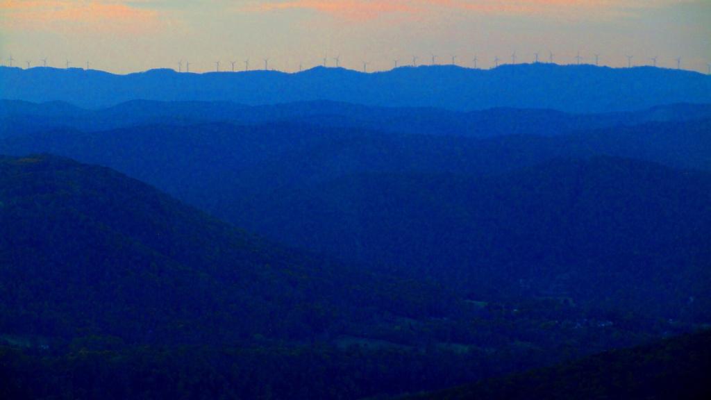
Hazy day, but there’s Lake Chazy and the farms along it.
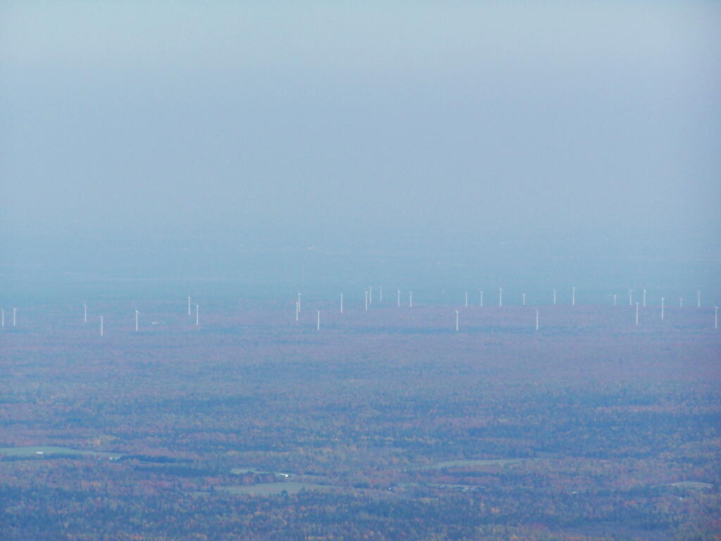
Wind turbines of the Chazy Highlands…
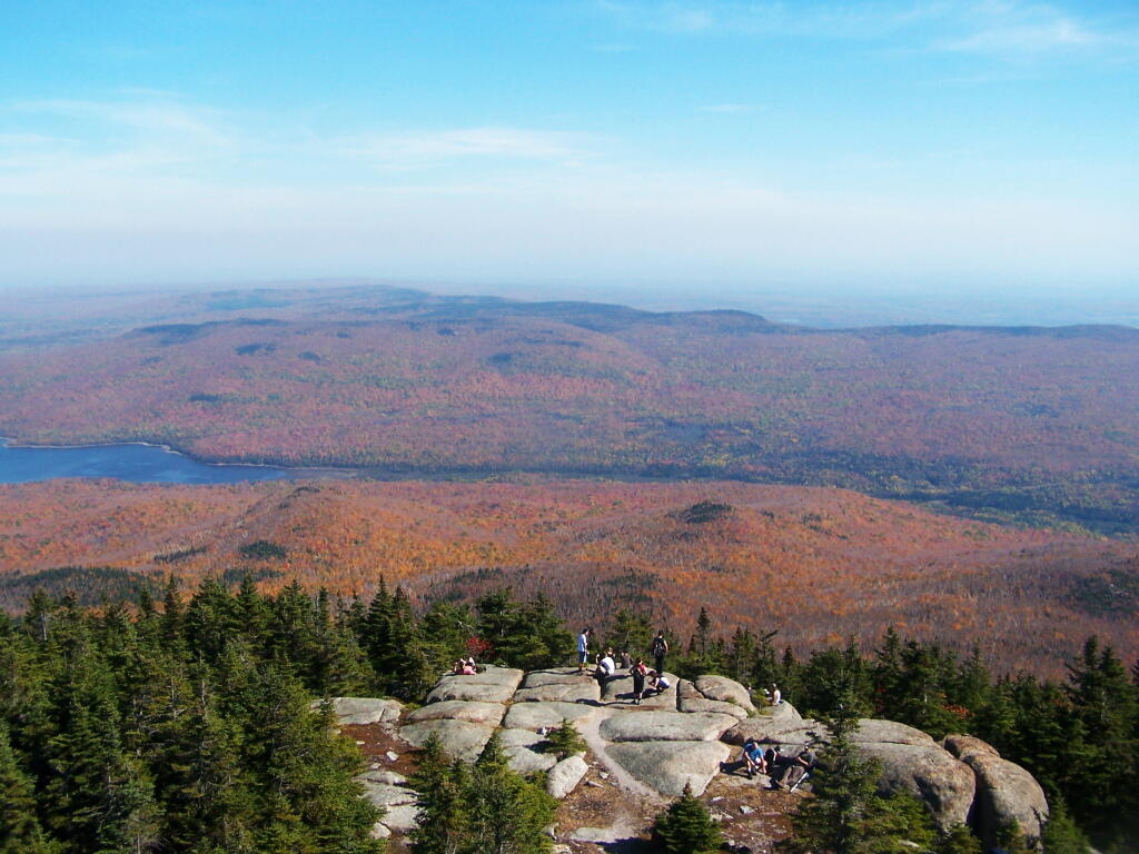
Lyon Mountain is a popular hike, as seen by all the hikers on the ledge.
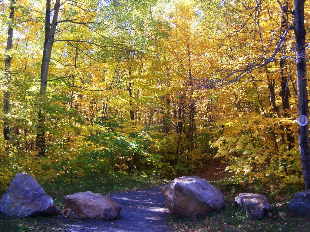
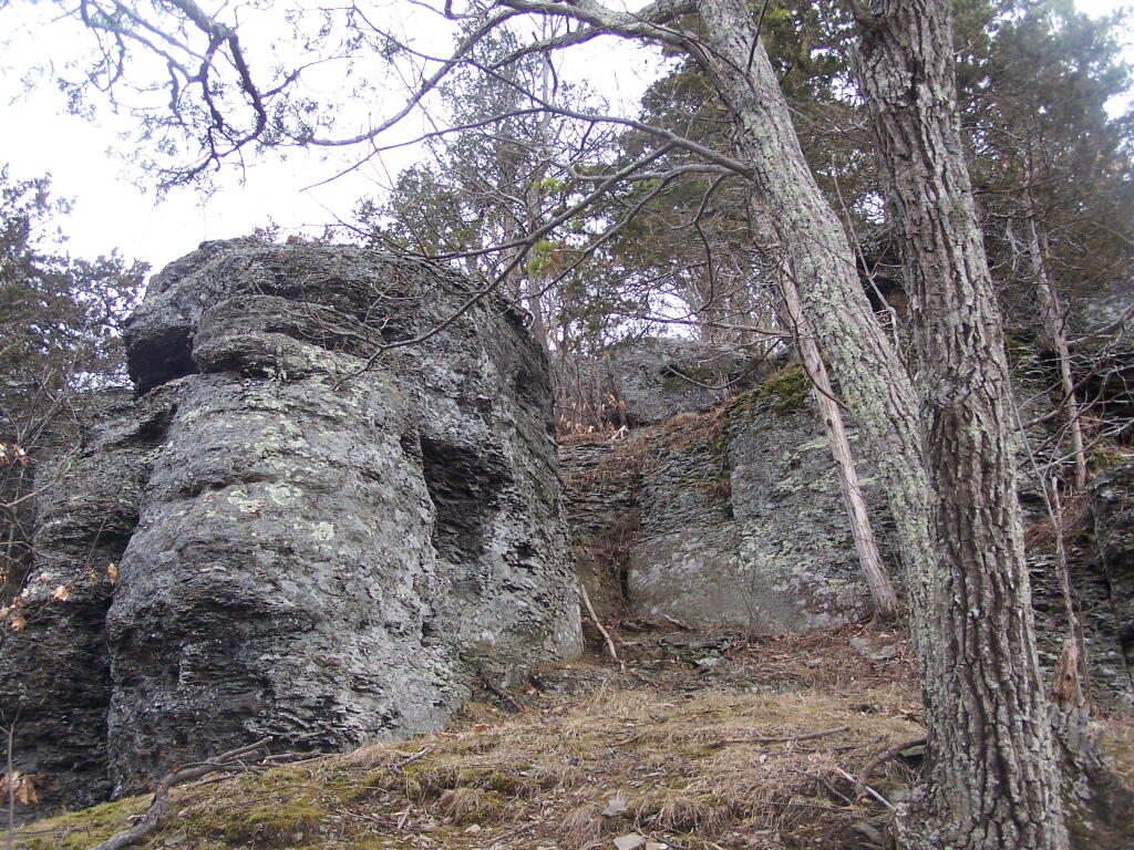
Directly to the East of Middleburgh there is a long narrow landform known as “The Cliff”. It’s a 500 foot high hill, with about 40 feet high cliffs, overlooking Middleburgh and Schoharie to the west. Cotton Hill sits above it to the east. While privately owned by the owners of the dairy farms in the valley below, the Long Path crosses it and you can use it to explore the cliffs.
As you climb the hill on the Long Path, looking backyards there are broken views.
When your almost to the top of the Cliffs, there is a quick scramble over this ridge. This is a section that is very much hand and knees, you’ll probably toss your pack up and then climb up to retrieve it.
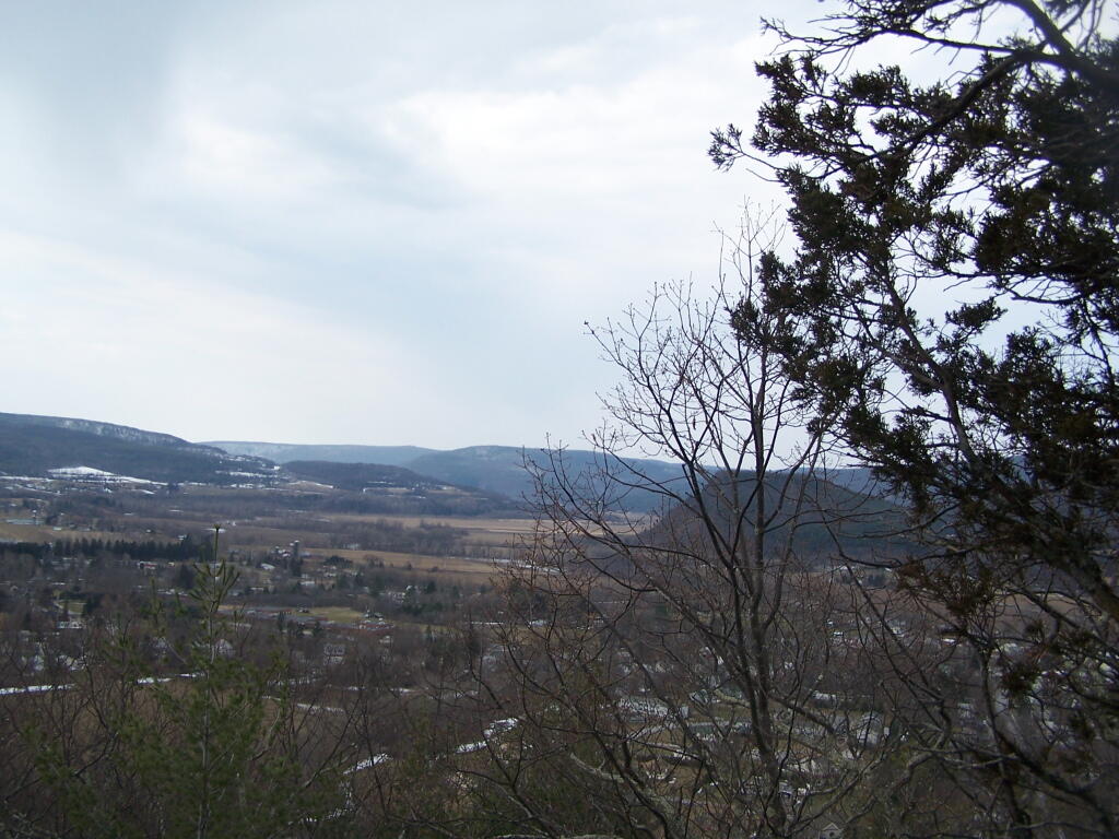
After you get to the top, you have some views to the south, including Vromans Nose.
Further along the trail you get some broken and then improving views of the Schoharie Valley just north of the Middleburgh. In the background is Middleburgh Roundtop Valley, and where NY 145 climbs the ridge to get over to East Cobelskill.
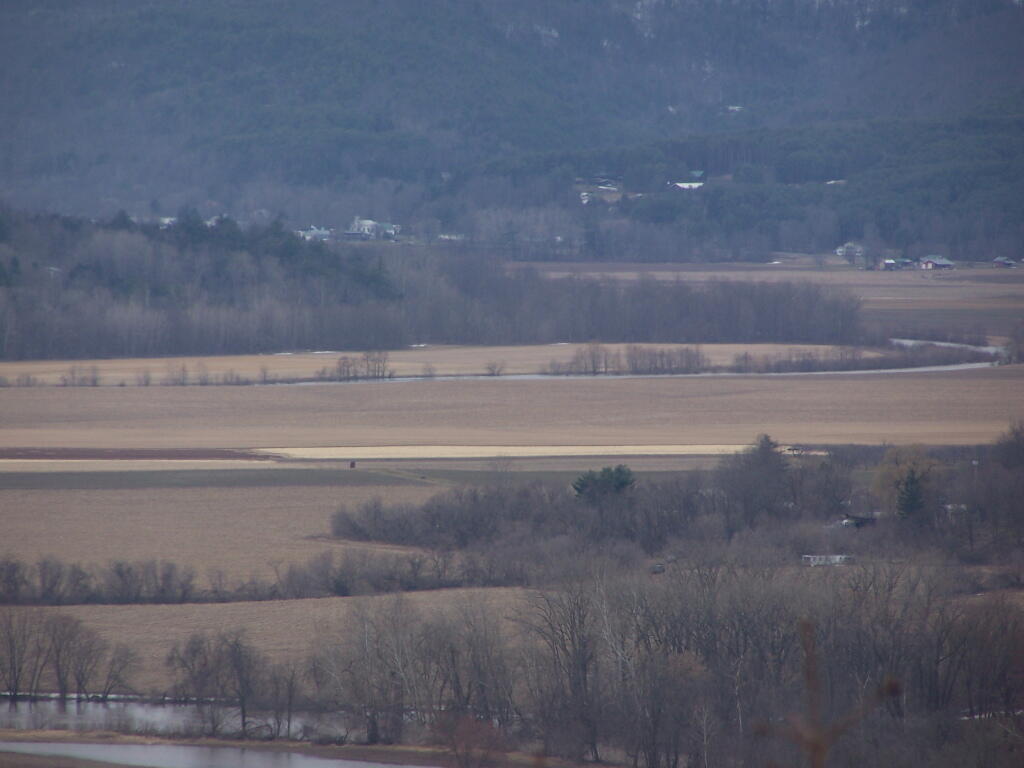
The agricultural flat lands south of Middleburgh.
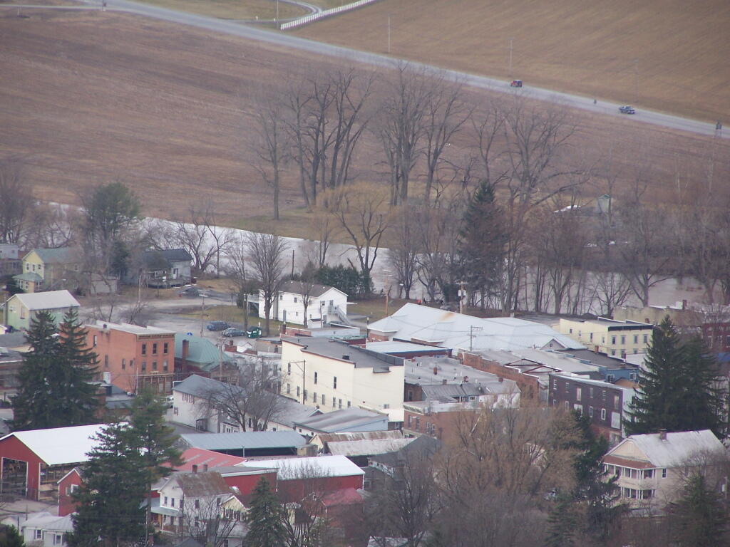
The new more suburban section of Middleburgh, with the older village in the background. I never understood why people would live out in the sticks, but also live in a suburban subdivision in a classic small village.
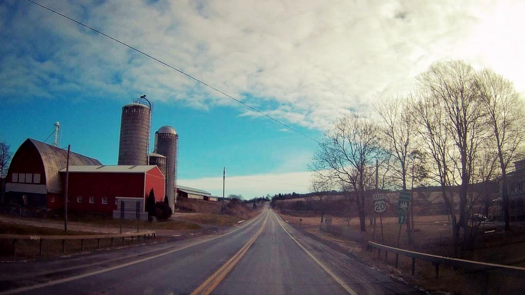
A dairy farm along NY 30 north of Middleburgh.
All and all, this hike doesn’t provide amazing remote lands, but still has some interesting agricultural views of the fertile Schoharie Valley. Taking no longer then a total of a 45 minutes round trip, it’s a nice hike to do with Vromans Nose or take the trail farther west to Cotton Hill Lean-To.
I have driven past Olana a dozen or so times. I last went up to Olana as a young child. I had read about it on Facebook, and knew it was free to wander the grounds from October 15th through May 15th. Driving by it I decided to go for a little stroll.
It is a truly delightful experience from the drive up on the twisty one-lane entrance and exit roads, and remarkable views all the way up. The road is paved, but is bumpy asphalt, so you will want to ease your way on up it.
Walking down the great lawn to south of Olana, looking at the views from the west of the Olana. A mountain.
A small farm and orchard in the distance between NY 23 and US 9.
A person walks along the mid-parameter path.
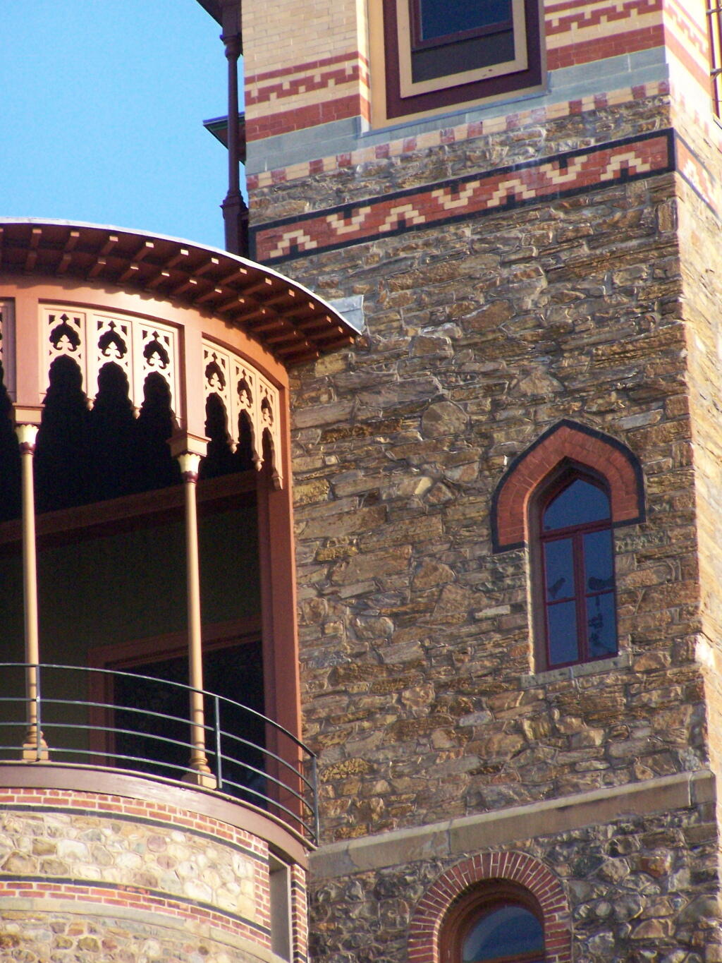
Olana Tower from the mid-parameter path.
The Hudson River looking North.
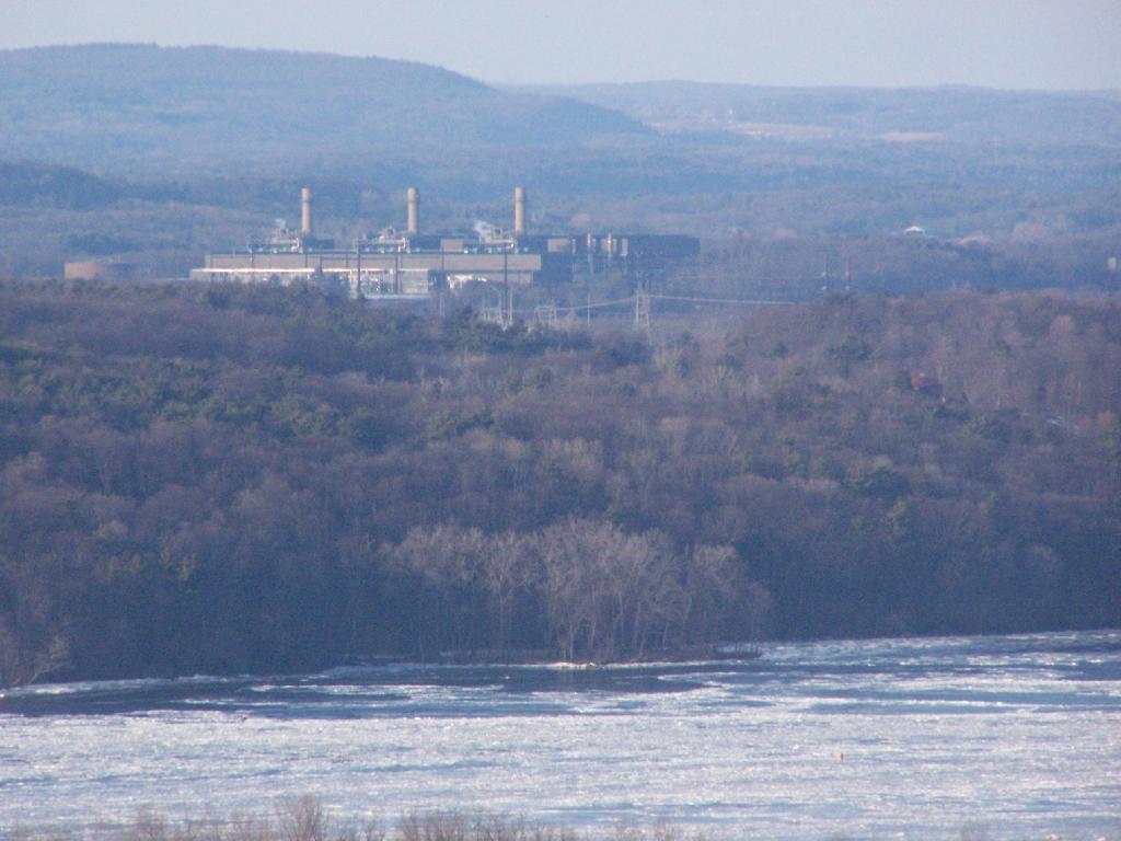
The Athens Natural Gas Power Plant.
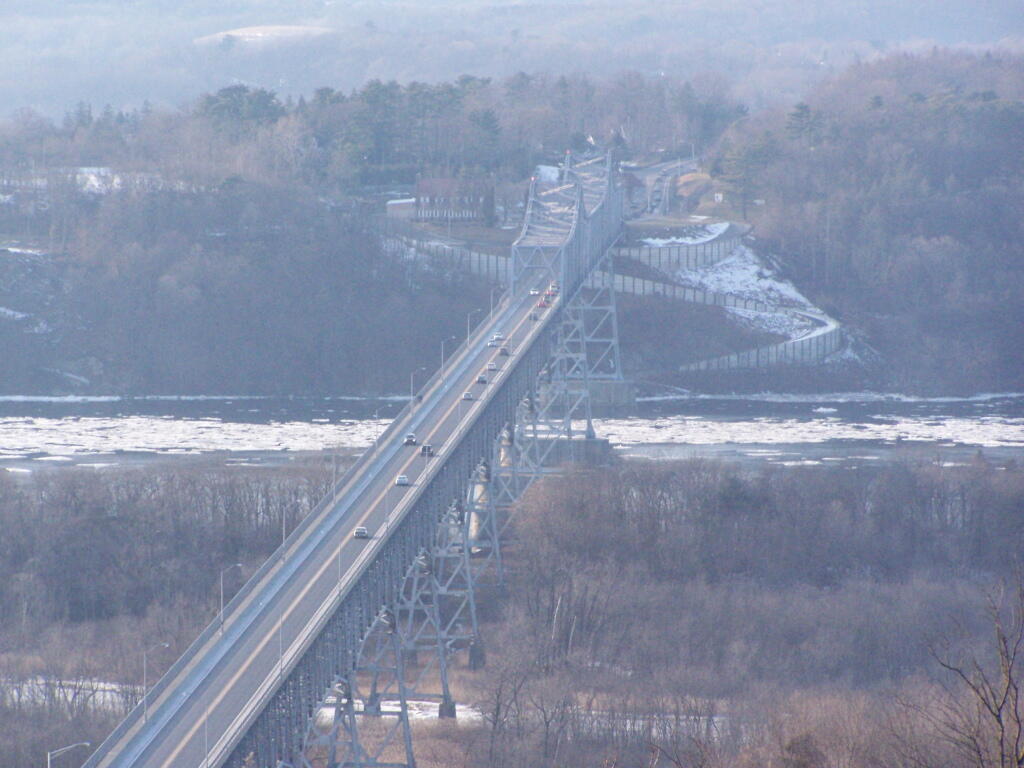
The Rip Van Winkle Bridge.
Walking along a clearing along the path.
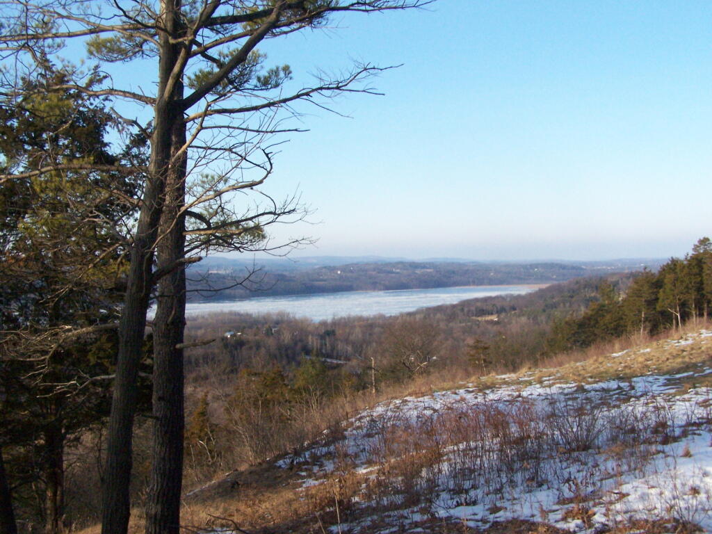
The Catskill Mountains in the distance, with the Hudson River in the foreground.
On a section of Olana overlooking Hudson they are clearing out the area to provide better views of the surrounding trails.
On Christmas Eve I decided to go for a quick afternoon hike up Bennett Hill. I had gotten all my stuff together for Christmas Eve, and was on my way out to visit my parents at their house, so I thought it would be a nice time to go out for a hike up there. I didn’t get to the trailhead until 3:15 PM, so things where a bit rushed and some of the pictures are fuzzy, but it still was pretty awesome.
I made it up to the top at 3 minutes until 4 PM. Here I am looking off the south-west opening almost due south in this picture.
I took the main trail up to the top and walked around the top on the yellow trail. Here is Meadowbrook Farm / Delaware Turnpike looking just out above Clarksville.
Here we are looking out the clearing on Bennett Hill out over Clarksville.
Walking along the top of Bennett Hill. It was an awful grey evening up on Bennett Hill on this Christmas Eve.
Looking out at Pinnacle Hill through the trees. You can’t see this in the summer because the leaves on the trees block the views.
I was quite happy to see the Bathtub Spring that was installed last year is still up and running, despite the cold. I wonder if it will ever get cold enough this winter to freeze, or if the tub will fill up with ice, and that will shut it off. I didn’t try drinking from it this this time.
I went for a walk at Bennett Hill on a warm afternoon in Novmeber. Here, walking along the pastures that run along the border of Bennett Hill.
Walking along the trail.
Here is the new “Bathtub Spring” we installed as part of a local scout’s Eagle Project. This allows people to refill their water bottles or give their thirsty dog some water. I drank some, it didn’t really kill me yet. Tastes a little bit muddy/gritty.
Meadow Brook Farm from the top of the hill, looking through the trees.
On the top of the hill there is a new clearing you can look out of above Clarksville.
Looking up towards the Adirondacks / Lake George area in the background, with the NYSDOT headquarters and Colonie Center closer in the foreground.
Descending the Red Trail on the Eastern side of the hill, looking out towards of Albany.
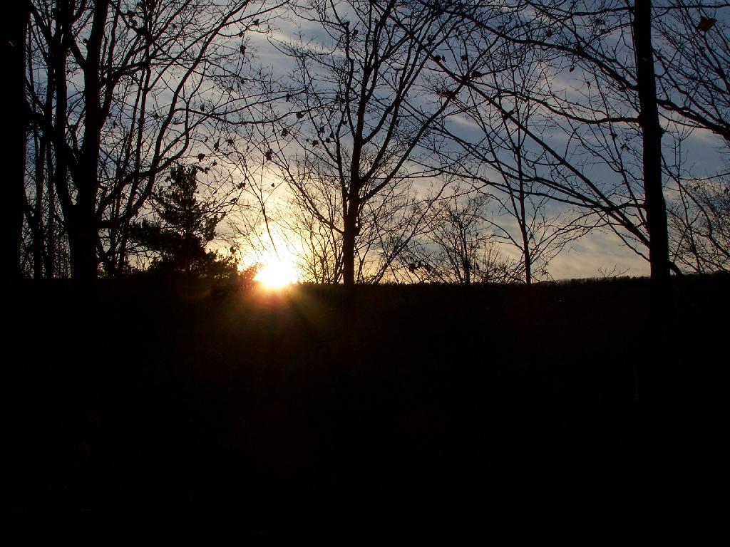
And as I headed back to the truck, the sun was setting over Cass Hill.
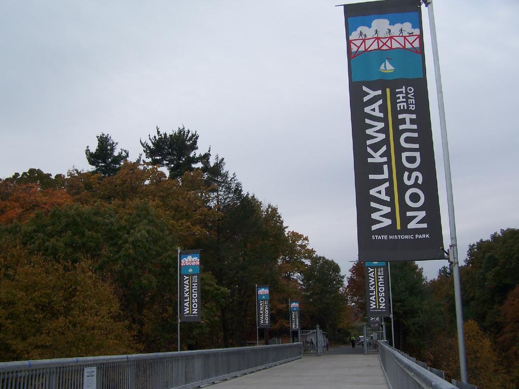
On a rather cloudy day that I had taken off from work last week, I decided to drive down to the Walkway Over the Hudson. I got down there around 9:30 PM, on a cloudy Wednesday, and the parking lot only had one parking spot left on the Pougkeepsie side. It is accessible from the Poughkeepsie side via taking US Route 9 North from Pougkeepsie then turning onto NY Route 9G south. Alternatively, you can access it from Haviland Road in Highland.
The newly extended bike trail leads directly to the Walkway from the rather large Poughkeepsie parking lot. If you can’t find space in the lot, there is plenty of space on nearby city streets.
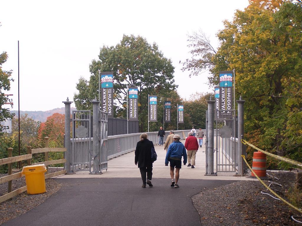
Big crowds of people entering the Walkway.
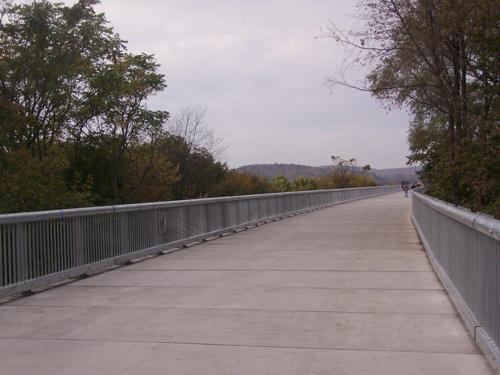
At 28-feet wide and nearly two miles long, it’s pretty big and wide. Despite probably several hundred folks on the bridge, it doesn’t feel at claustrophobic or tight.
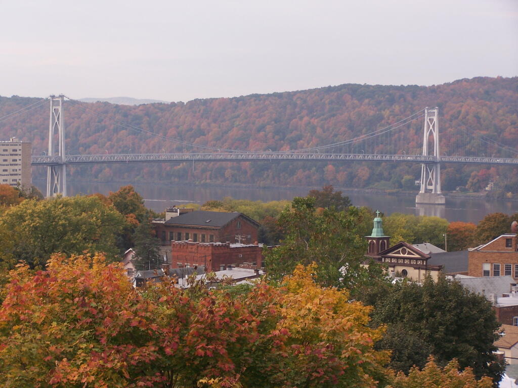
Looking across Poughkeepsie at the Mid-Hudson Vehicle/Pedestrian bridge.
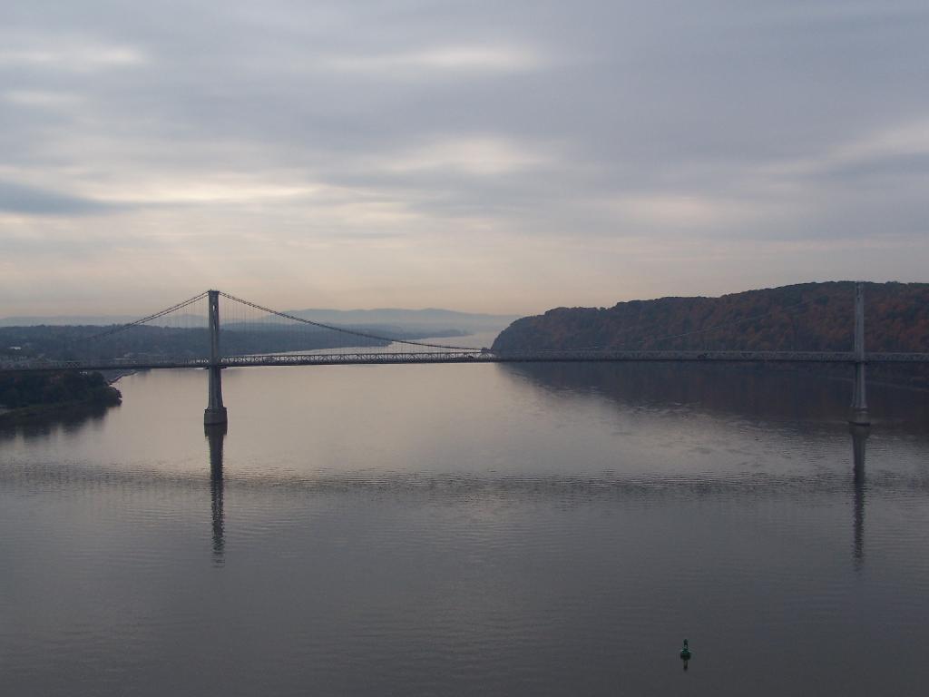
From the center of the bridge looking directly south.
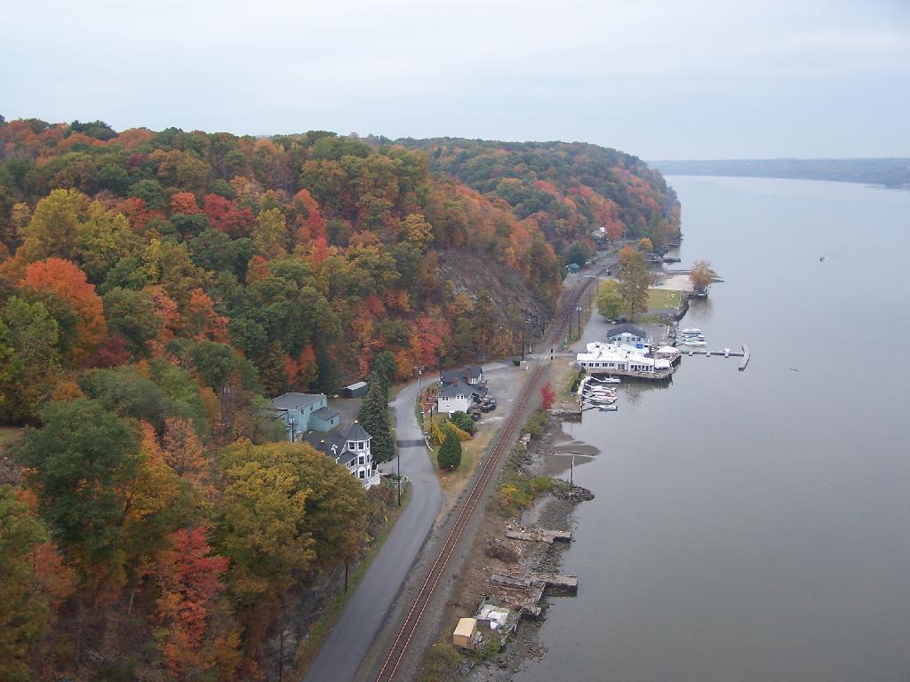
North along the Highland side of the Hudson River.
All and all it is a beautiful walk across the bridge. If you plan on taking some pictures, and want to walk from one side of the bridge to another, you should figure about two hours of time. More at walkway.org.