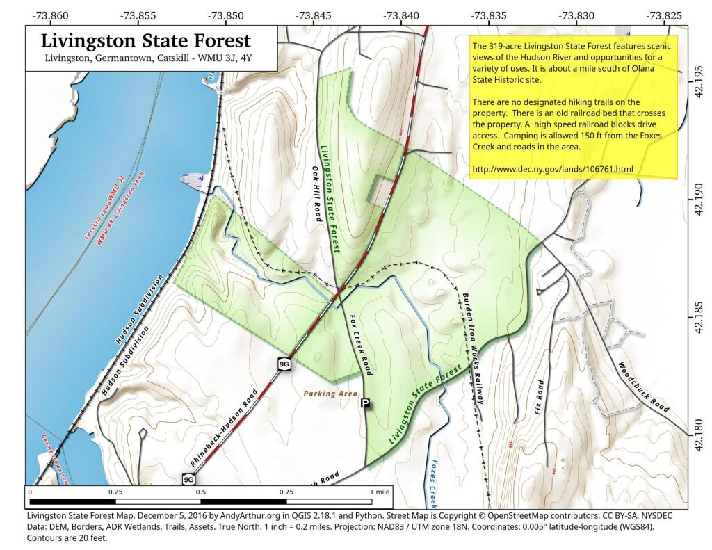
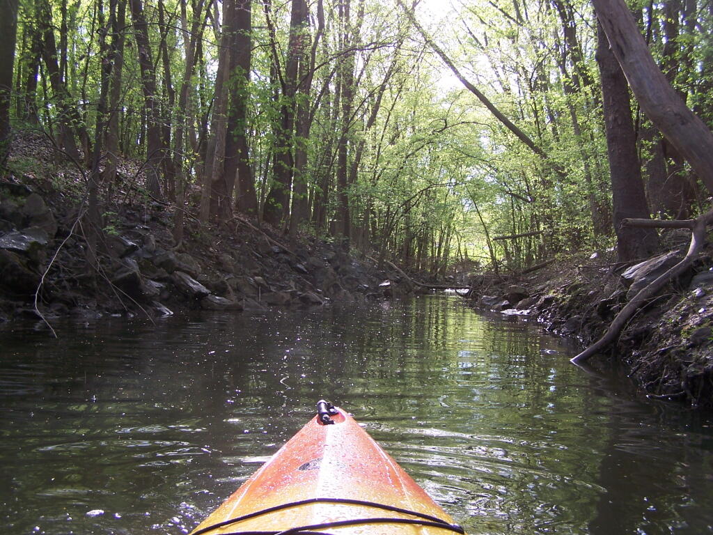
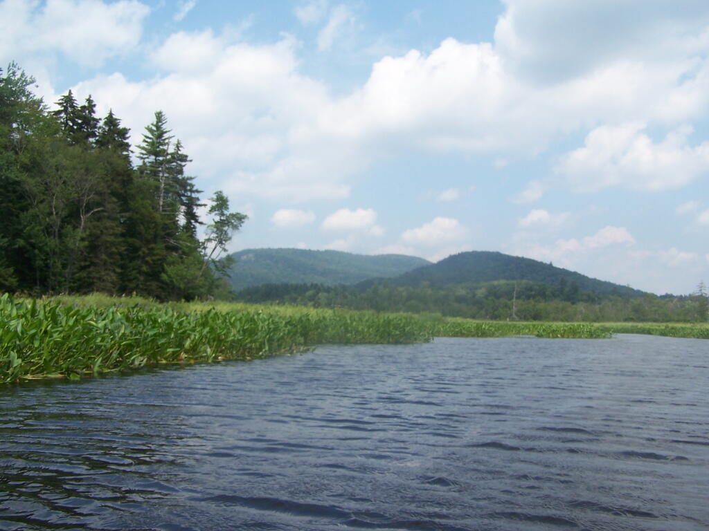
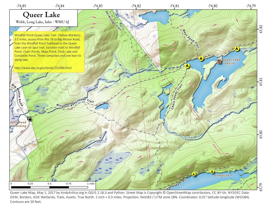
Most people have probably never kayaked between Albany and Troy on the Hudson River. Yet, it’s a trip one should make, because it’s both fascinating and relaxing, as you paddle between two cities through a lush green landscape.
Not only is the Hudson River conviently located between the two cities, a short drive for residents of the Capital Drive, it demostrates the solitude one can get, and still be within a couple of miles of major former industrial cities in Upstate NY.
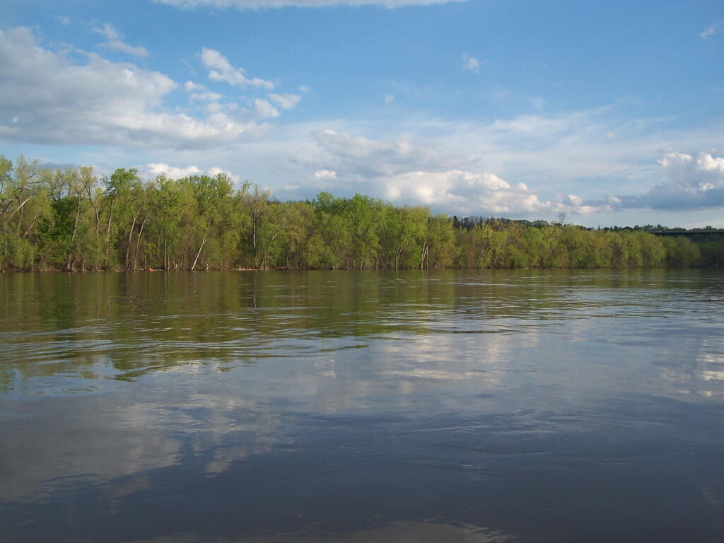
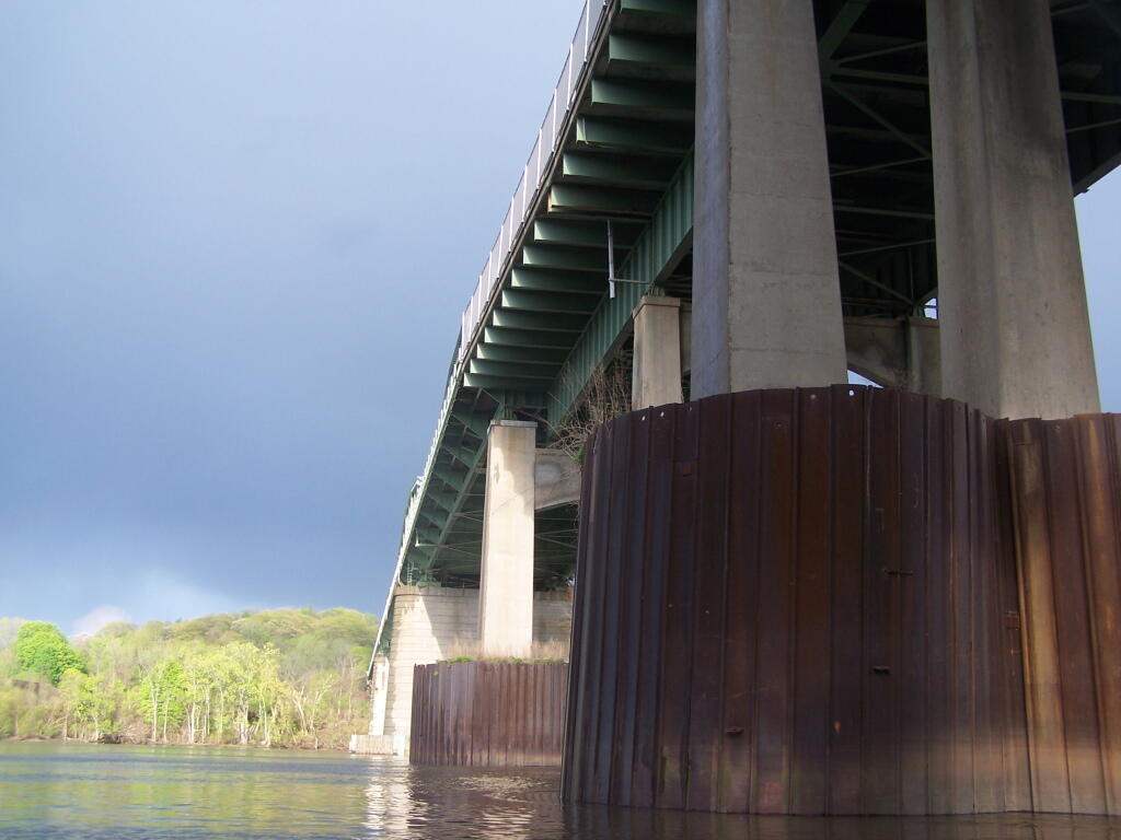
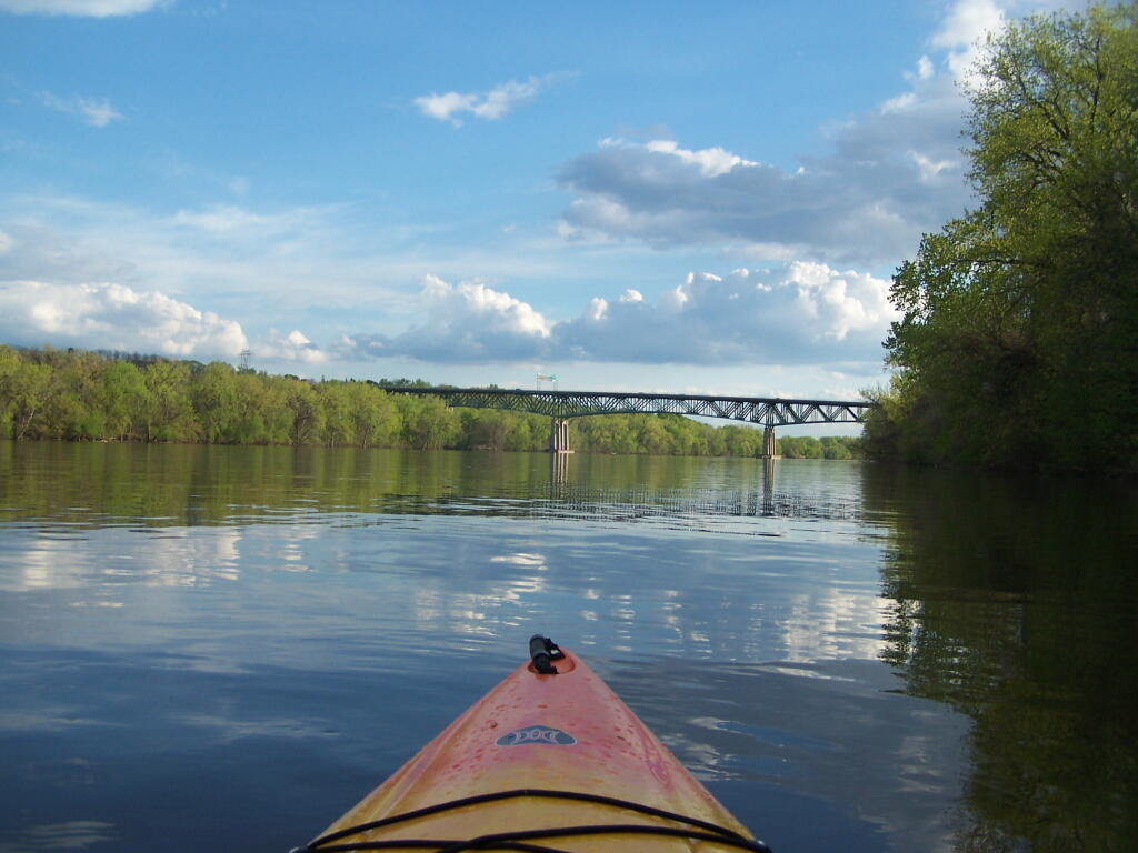
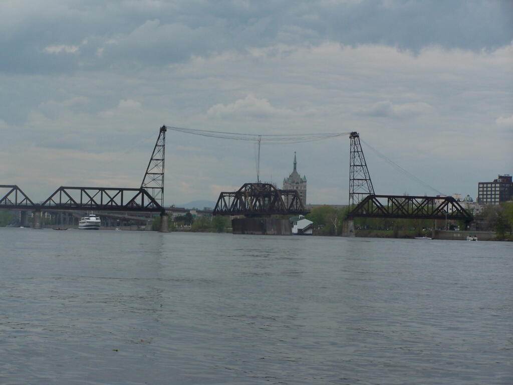
It shows the scale of man’s industrial works up close, as they tower far above you. Who would have ever thought the South Troy Bridge was so tall?
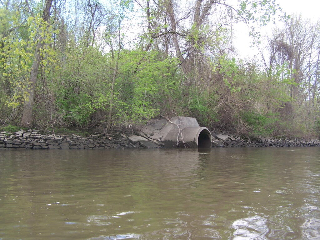
And while the river is much cleaner then yesteryear, you will still smell the raw sewage floating in from some storm drains.
You’ll find secret little tributatories, all but forgotten about in the era of powerboats and superhighways that once buried important little rivers and creeks, and made islands into mainland.
You will get a new impression of the river and it’s many crossings, and the noisey automobile traffic that “flies” over the river.
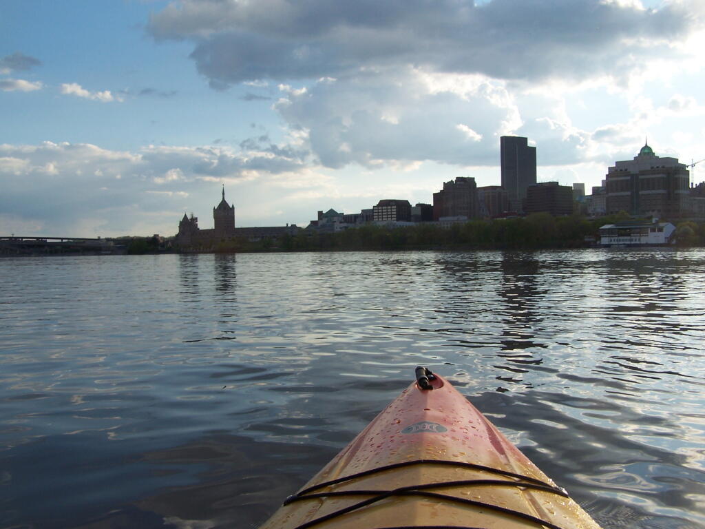
You’ll notice how nature’s creations tower far above our cities and urbanized areas.
And you’ll get a new look at the ordinary city, that often looked at as one passes it buy almost in an ignorant fashion.
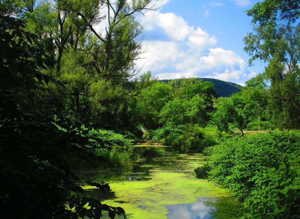
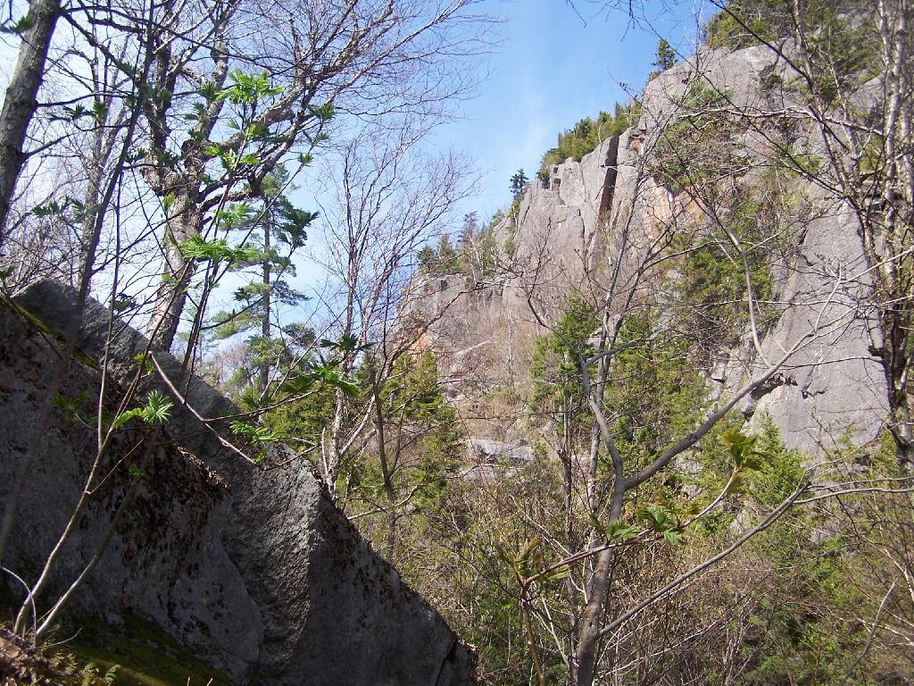
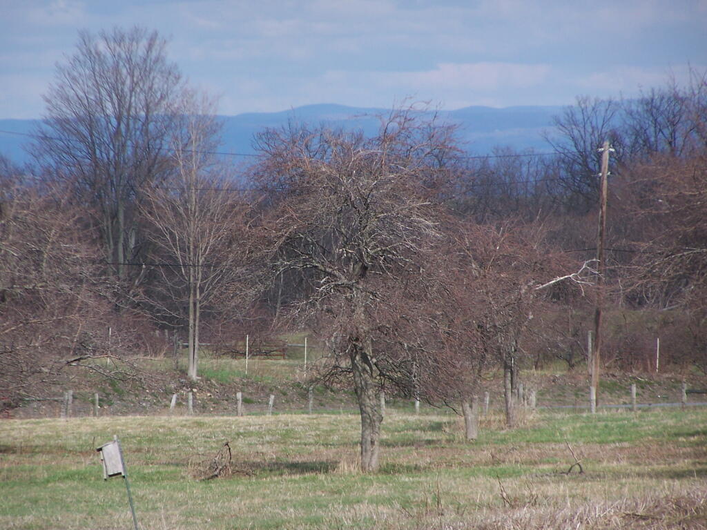
In the Adirondack Park there is a Bad Luck Mountain and Bad Luck Pond, along with a Good Luck Mountain and Good Luck Cliffs. I have only been to later, but maybe sometime I will get a chance to visit the much more remote Bad Luck Pond as described by CNY Hiking.
If you are not feeling particularly lucky, consider visiting Big Bad Luck Pond, off of NY 28, roughly halfway between Northville and Indian Lake. It’s a little too far to carry a kayak back into, but it is a 3 mile hike from the trailhead to the pond, passing over the col of Bell Mountain, and several other small ponds. There are some designated campsites near the lake, and it’s below Bad Luck Mountain.
Alternatively, if your feeling lucky, consider visiting Good Luck Lake. Located north of Caroga Lake on NY 10, there are 12 paddle-in or hike-to campsites along the lake, which is located below Good Luck Mountain. It is a delightful paddle on in, but if you go, make sure to visit Good Luck Cliffs and Good Luck Mountain above it.
Today will take a look back at Year of 2011 in photos. Next week, I plan on doing an article featuring the Best of Photos of 2011. UNIX_TIMESTAMP(‘2011-1-1’) AND `date` < UNIX_TIMESTAMP('2012-1-1') ORDER BY `date` ASC";
$query = mysql_query("$sql");
while ($series = mysql_fetch_assoc($query) ) {
$date = strtotime($series['dated']);
if ($prevdate != date('F', $date) ) {
echo '
$sql = “SELECT `phototypes`.`filename` AS ‘type’, `photos`.`filename` FROM `photos`,`phototypes` WHERE `photos`.`typeid` = `phototypes`.`id` AND `date` > $min AND `date` < $max AND `phototypes`.`filename` NOT LIKE 'maps%' ORDER BY rand() LIMIT 1";
$pquery = mysql_query("$sql"); $photo = mysql_fetch_assoc($pquery);
echo "
Most times when you look at maps, they contain a lot more information then just roads. Most maps have parks, water bodies, road names and numbers. Lots of data to make the map useful. Yet, that distracts from the main purpose of roads — a circulatory system for the state’s commerce, to allow goods and people to move freely across the state.
As you will see, Highway Systems could almost be maps of human veins and arteries. Terrain plays a role in highway systems, though modern highways can blast their way through almost any barrier, climb any hill, cross any water body, to be fully connected. Highways go where people have historically chosen to engage in commerce.
Expressways, Primary Arteries.
These are the most traveled and most important arteries of NY State, that allow commerce to flow across state. Not too surprising, but shows how cities across our state are connected.
Various NY State Cities.
Many Upstate Regions have similar looking arterial systems. There is an urban street grid, then a twisty suburban street grid, with major arterial surrounding the cities, often only partially completed after 1973 when Nelson Rockefeller canceled most major urban highway projects due to the recession and increased concern about urban expressway impacts. The arterial system around Binghamton is particularly interesting, as a reflection of the deep alluvial valleys and rugged terrain that surrounds this relatively small city.