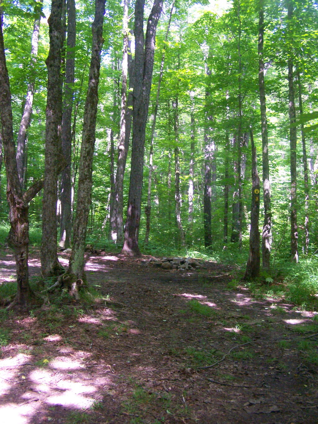
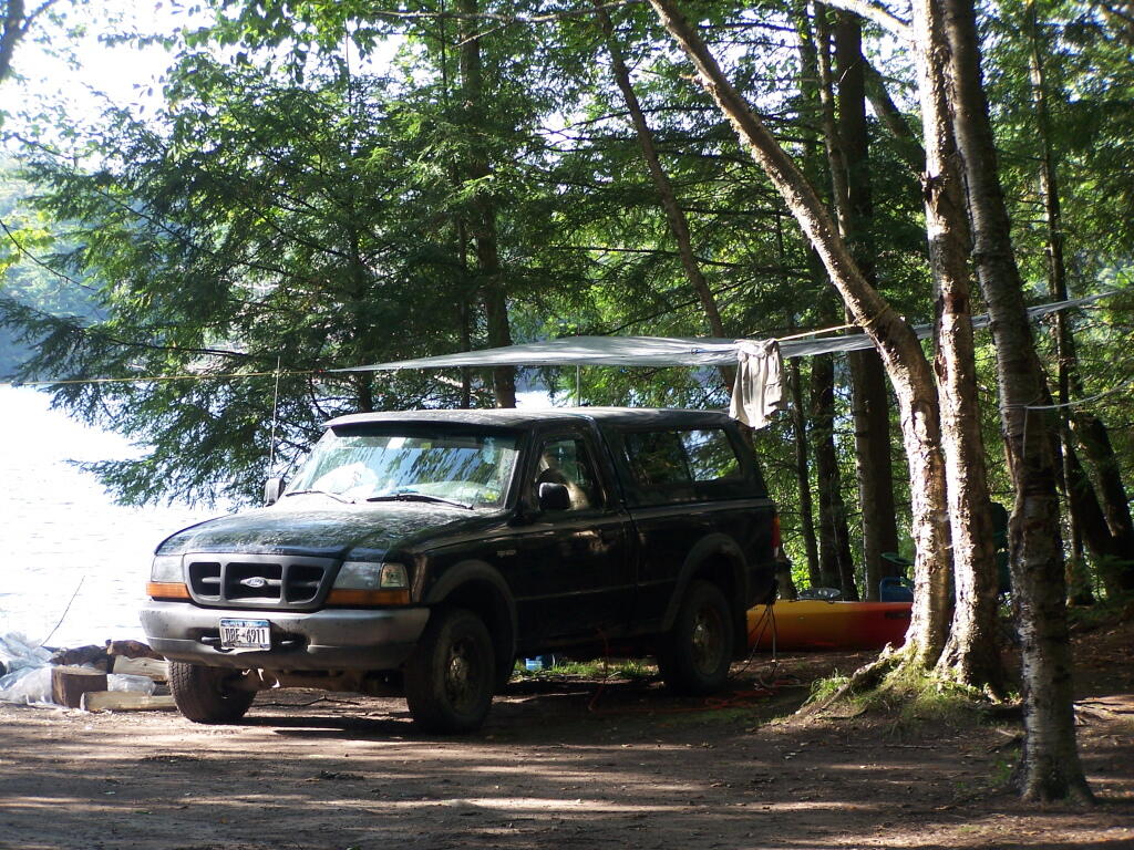
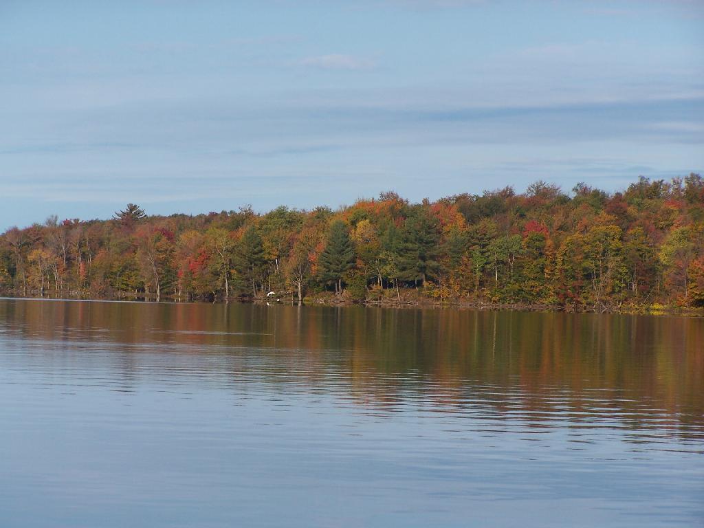
Horsehoe Lake has several campsites along, as does the dirt road beyond it for a ways.
The best roadside campsites go fast on the lake, but you can always camp on the less desirable campsites, then check out Bog River Flow, and tent camp up there.
Today we look at Campsites and Lean-tos and other “developed” camping opporunties in DEC Region 7, which consists of lands in Central NY Counties of Broome, Cayuga, Chenango, Cortland, Madison, Onondaga, Oswego, Tompkins and Tioga, and is based on data in Region 7 Recreation Master Plan.
Current 85 Designated Campsites/Lean-Tos.
Balsam Pond State Forest (Chenango 17) – 1 campsite at Baker’s pond
Balsam Pond State Forest (Chenango 34) – 9 campsites 3
Beaver Creek State Forest (Madison 12) – 2 campsites at the assembly area 4
Charles E. Baker State Forest (Madison 1) – 14 campsites at Moscow Hill 4
Charles E. Baker State Forest (Madison 1) – 2 lean-tos
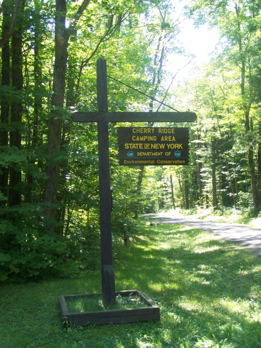
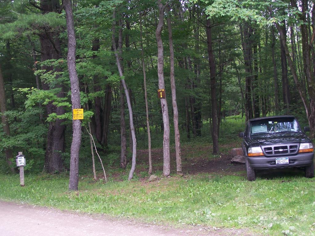
Charles E. Baker State Forest (Madison 1) – 8 campsites at Cherry Ridge 3
Stoney Pond State Forest (Madison 13) – 12 campsites 2
Taylor Valley State Forest (Cortland 2) – 12 campsites 5
Tuller Hill State Forest (Cortland 9) – 1 lean-to
Whaupaunaucau State Forest (Chenango 31) – 1 lean-to
Wiley Brook State Forest (Chenango 7) – 1 campsite
1 DEC Camping permit required. Call (607) 674-4036 to have a permit mailed to you.
2DEC Camping permit required from April 15-October 15th. Call (607) 674-4036 to have a permit mailed to you.
3 Vehicle accessible.
4Horse Assembly and Camping-area.
5 Currently undesignated sites (lacks “Camp Here Markers”) on an old loop road that was part of CCC Camp in Taylor Valley.
Related Maps.
DEC’s Future Plans for Region 7
1. Develop 31 additional campsites in Region 7. Twenty-eight of these will be open campsites and three will be lean-tos. A portion of the new campsite development will occur on Hall Island State Forest (Oswego 10), as noted in items b and c. The Department will consider the option of permanently closing any or all of the Island campsites if patrol or enforcement problems become an issue. Fiscal constraints and public demand will determine if any additional campsites are to be developed within the Region.
a. Development of the new campsites will be in compliance with the guidelines for access by people with disabilities.
b. Develop 12 to 15 open campsites on Hall Island State Forest (Oswego10). These campsites will be located on the south side of the Salmon River Reservoir and will only be accessible by water. A permit will be required to occupy these sites. Three of these sites will be developed for people with disabilities . c. On Hall Island State Forest (Oswego 10), upgrade two designated campsites on Burdick Island and two campsites on Huckleberry Island in the Salmon River Reservoir. A permit will be required to occupy these sites. Two of these sites will be developed for people with disabilities.
d. Develop one lean-to campsite along the Finger Lakes Trail on Perkins Pond State Forest (Chenango 22) in the Town of Otselic.
e. Develop two open campsites on the Marsh Pond State Forest (Broome 4) near the pond. One of these sites will be developed for people with disabilities.
f. Develop three campsites on Robinson Hill State Forest (Tioga 3) near Tricounty Pond. The exact number of sites will be determined from local demand. One or two of these sites will be developed for people with disabilities. Install kiosk and develop area brochure.
g. Develop one lean-to on the Genegantslet State Forest with access from Creek Road. The access trail to the lean-to will be approximately 0.7 miles of hiking trail.
h. Develop an open campsite in stand C-7 on Long Pond State Forest (Chenango 35) designed for access by canoe or boat.
i. Develop three open campsites on Oakley Corners State Forest (Tioga 2). One of these sites will be developed for people with disabilities. Use of these sites will be by permit only.
j. Upgrade and designate three formal sites on the Salmon River State Forest (Oswego 8). A permit will be required to occupy these sites.
k. Rebuild the lean-to along the trail on Chateaugay State Forest (Oswego 4 & 5).
l. Build one lean-to on Cuyler Hill State Forest (Cortland 6).
m. Inspect and, if necessary, repair or replace lean-tos on the Finger Lakes Trail.
2. Propose a change to the current regulations to address the conflicts encountered with camping within 150 feet of a road.
a. Propose a change to the current regulation that prohibits camping within 150′ of any road. The intent of this proposal is to accommodate the style of camping that is common during hunting season.
3. Provide camping opportunities on State Forests for people with disabilities. These ADA compliant facilities will be distributed throughout the Region. Most of the designated campsites will have fire rings and several of the sites will have picnic tables. Fire rings, picnic tables and benches will be of Universal Design. Accessible latrines will be located at areas with several campsites, such as Long Pond, Stoney Pond and Charles E. Baker State Forests. All camping areas that can be driven to will have at least one accessible parking space. a. Make alterations to the Moscow Hill campsites on the Charles E. Baker State Forest (Madison 1 & 4) so that at least four of the sites are accessible by people with disabilities.
4. Designate 14 campsites at Moscow Hill, Madison 1, camping area.
5. Maintain 85 existing campsites.
6. Propose a regulation to prohibit camping at Nanticoke Lake Multiple-Use Area and Redfield Island Day-Use Area
7. Remove the lean-to on New Michigan State Forest (Chenango 5) This lean-to is structurally poor and is no longer located on an active trail. The lean-to proposed in 1. d will replace this lean-to.
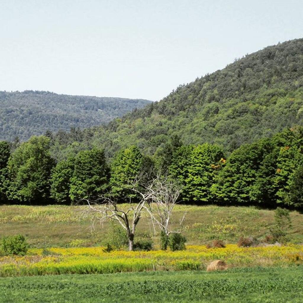
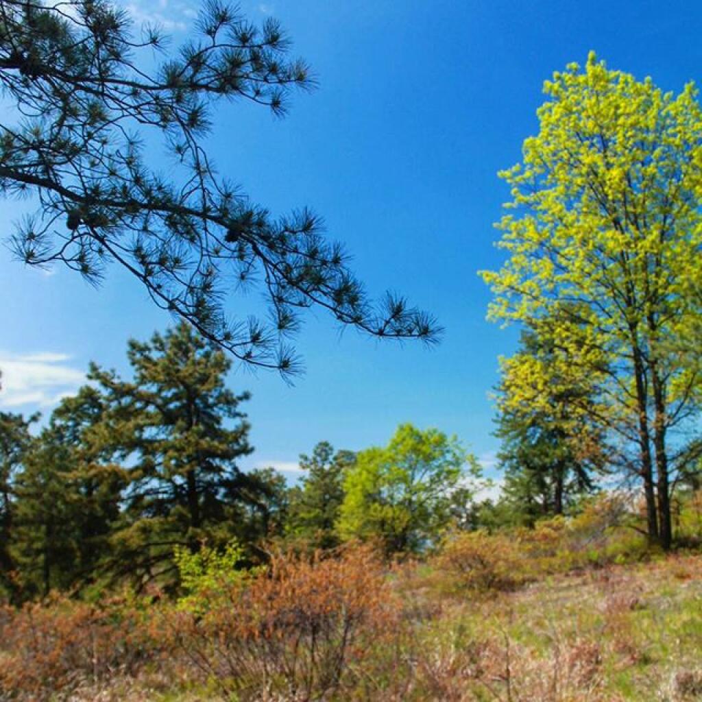
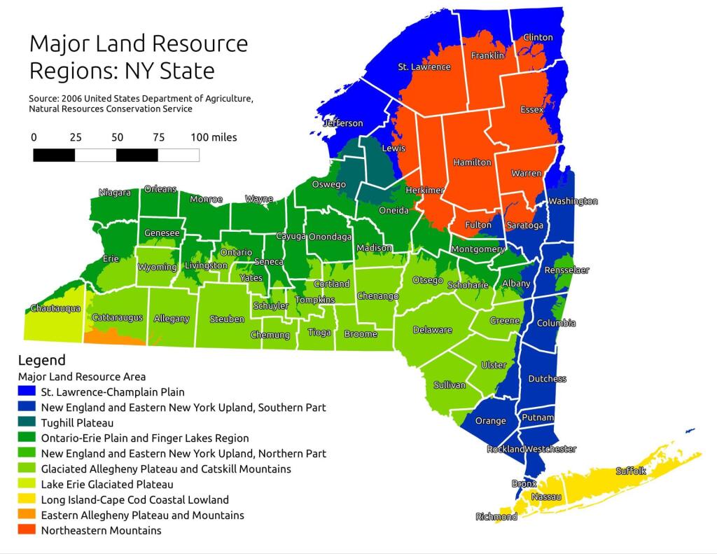
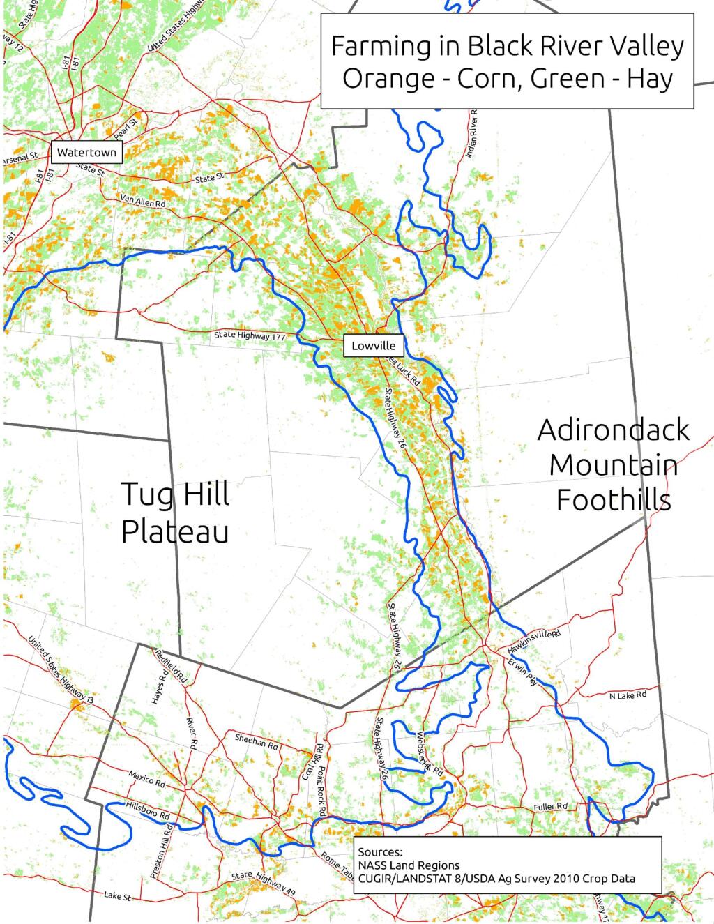
When I was younger I used to think of the Tug Hill Plateau as a vast agricultural region. It really isn’t. There are farms in Black River Valley, but not so much up on the Plateau, especially as you gain elevation.
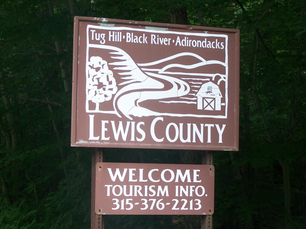
The signs going into Lewis County say “Adirondacks-Black River-Tug Hill”, and except for that relatively narrow band running along the Black River, Lewis County doesn’t have a lot of farming — much likes the rest of Tug Hill Plateau.
An elevation map of NY shows that most of the Tug Hill Plateau is between 1,000-2,000 feet elevation, but that’s high enough in NY to make agriculture unprofitable in most of state due to short growing season.
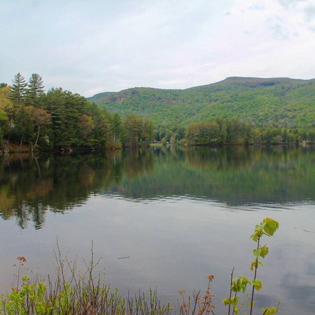
The Black River Valley, with it’s fertile soils notched between the Adirondack Foothills and Tug Hill Plateau make Lewis County a major agricultural producer, with 262 dairy farms, including some of the largest in state. The area around Lowville is excellent agriculturally, until you start back up in to the hills on both sides with their short growing seasons. Dairy farming makes up 20% of the land use in Lewis County (per 2010 USDA NASS), but almost all of that occurs in Black River Valley or slightly up the slopes of Tug Hill Plateau.
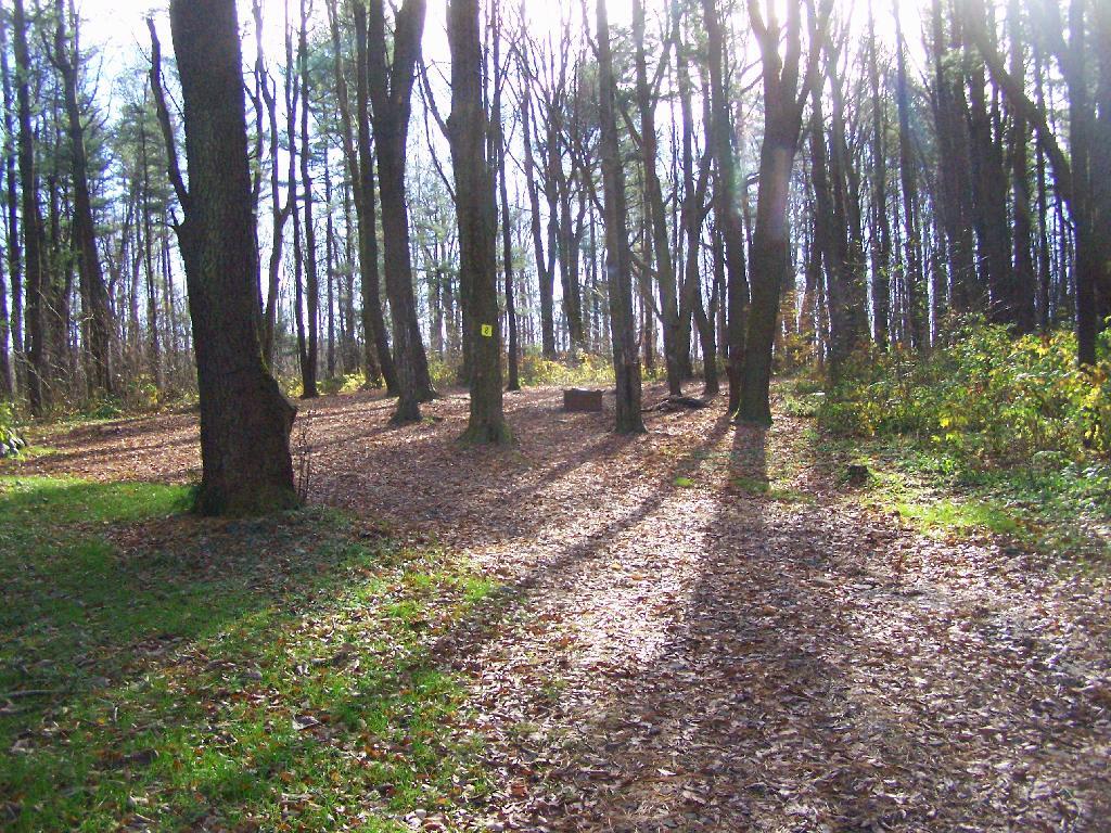
In many ways the Tug Hill Plateau is a fascinating region of the state. Unlike the Adirondack Park, only a relatively small portion of it is publically owned. About 2/3rds of it is private timber lands, with rest being public lands. It lacks any major cities or population centers, much of it is roadless, or where roads exist, they primarily service hunting camps or timberlands.
The remoteness of the Tug Hill Plateau remains a real fascination for me.