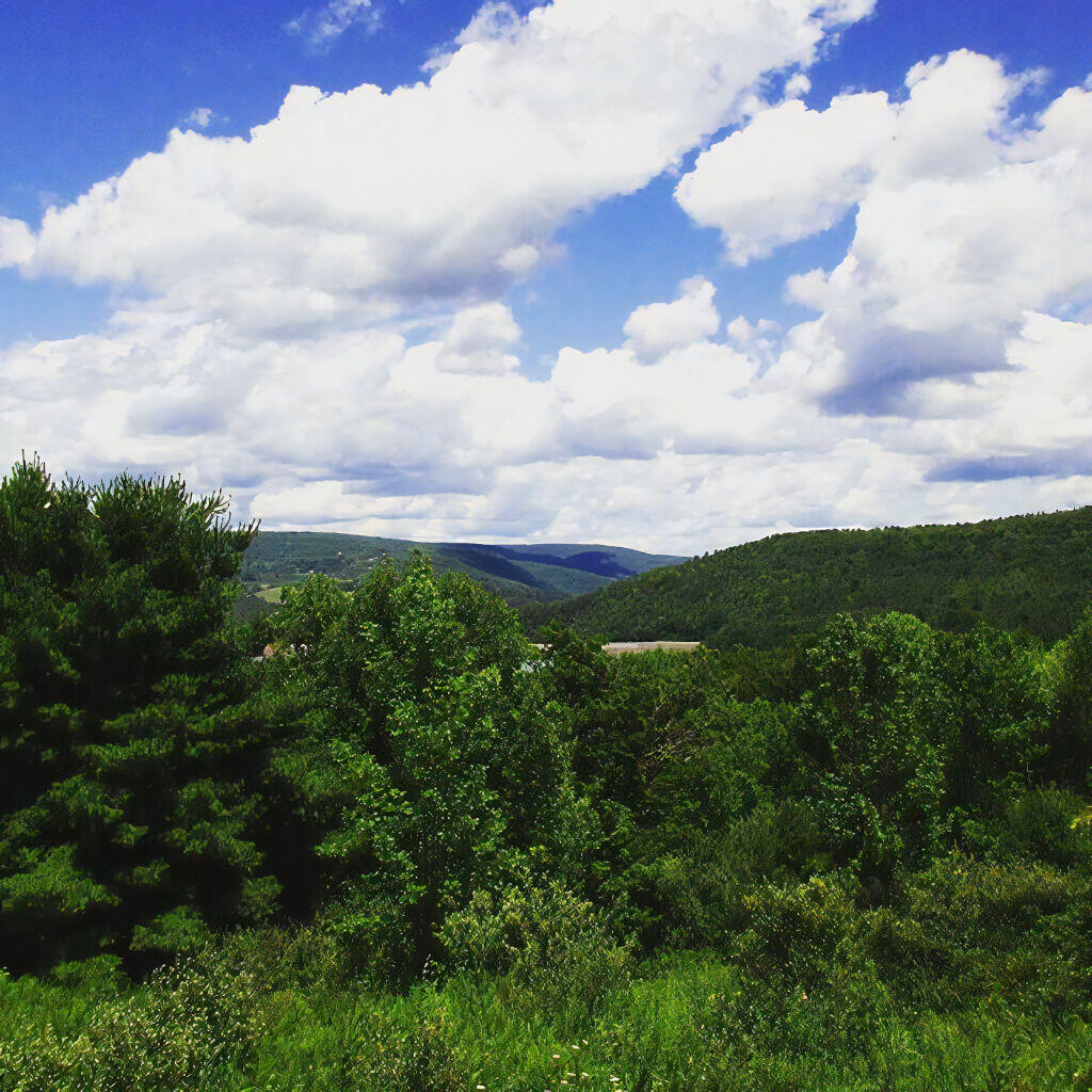
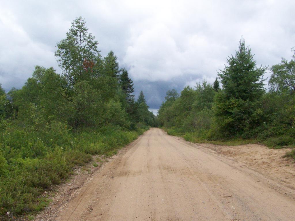
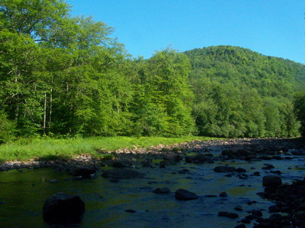
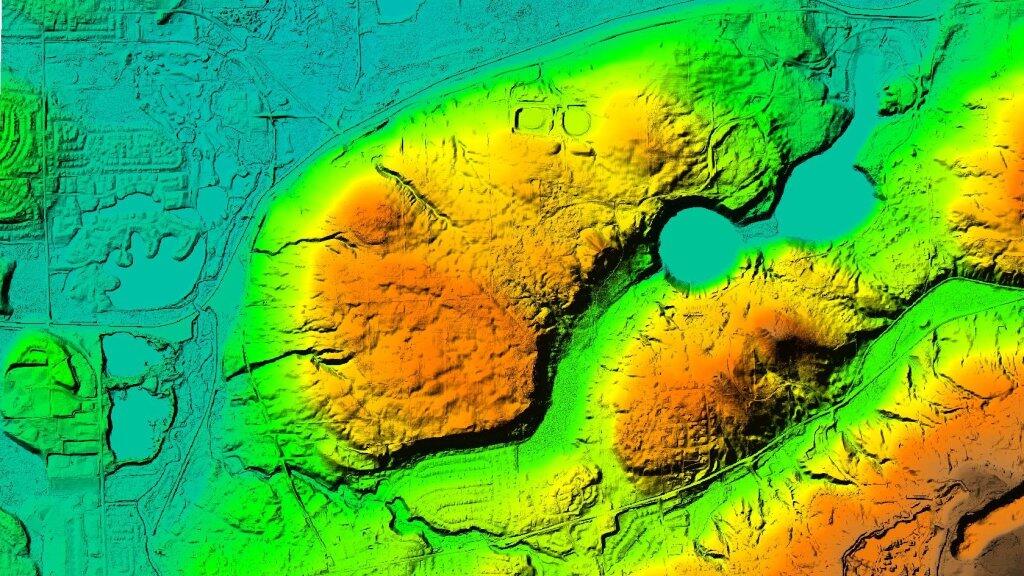
This past fall I hiked up Buck Mountain on a day when the fog was lifting. Not as clear as I had hoped, but still quite a nice little hike.
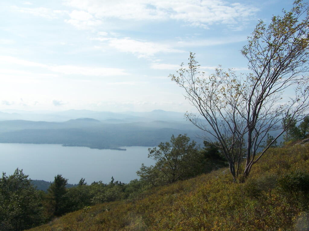
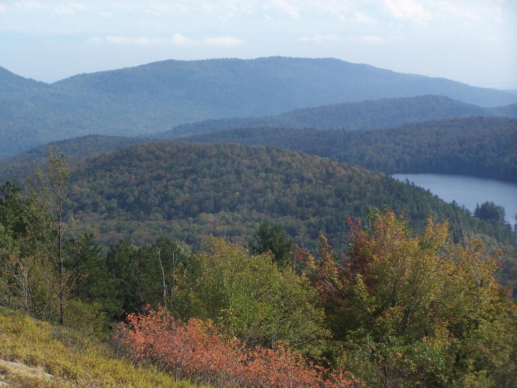
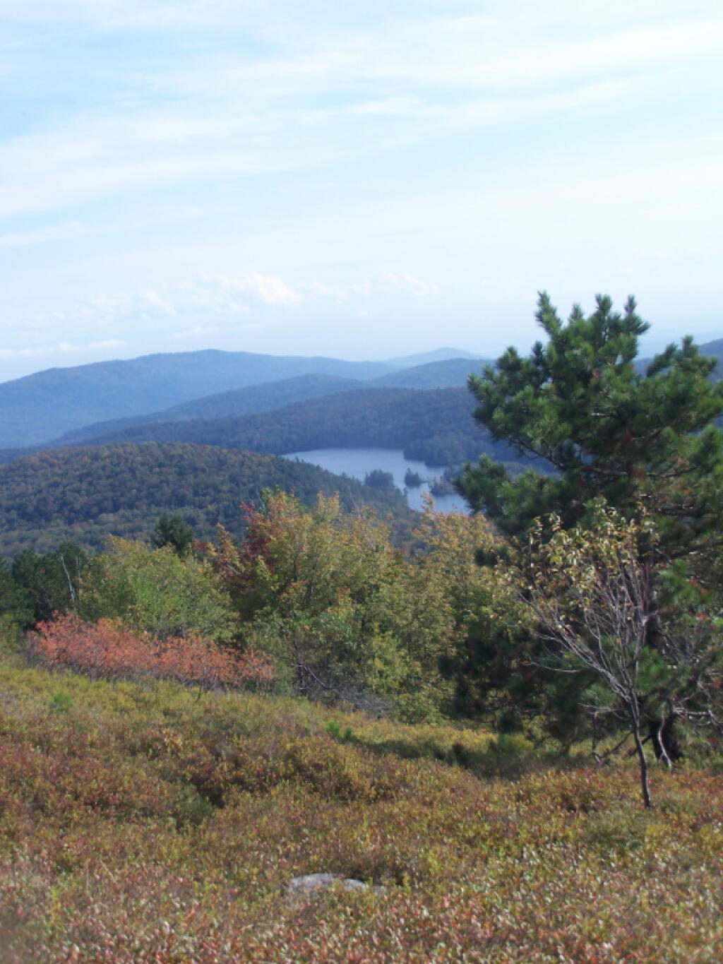
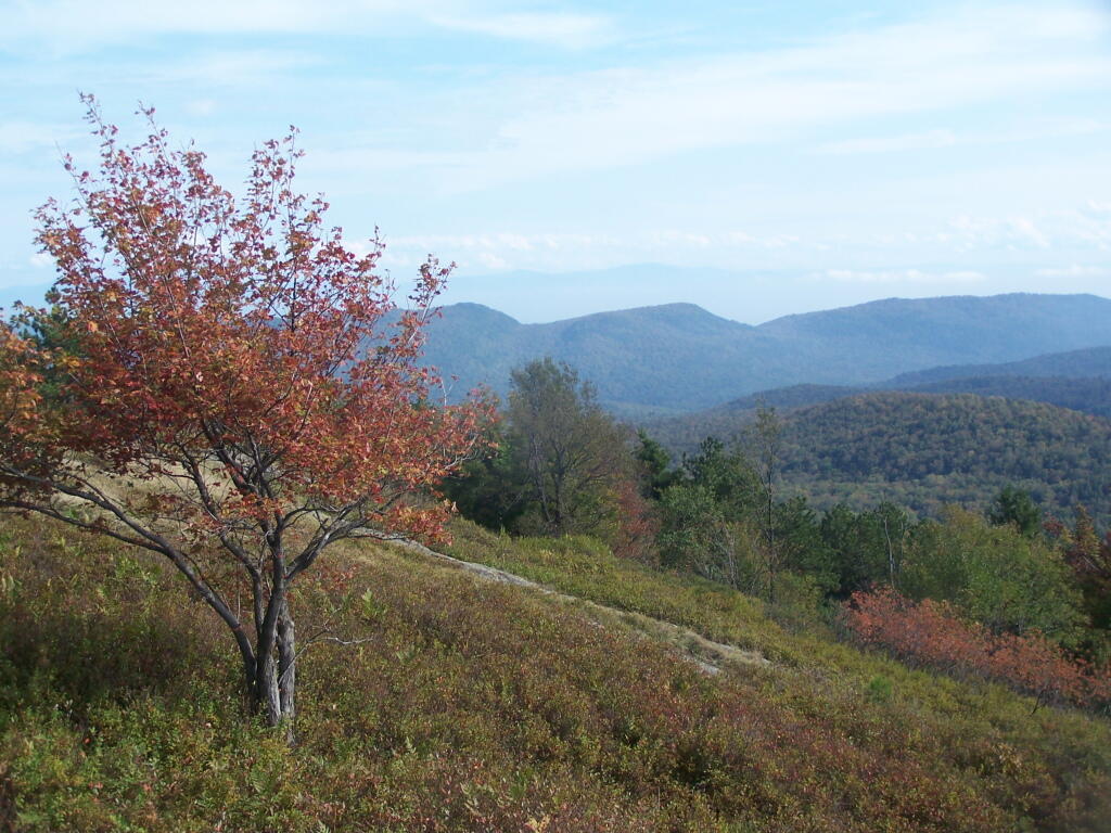
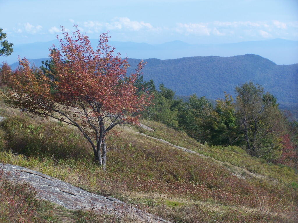
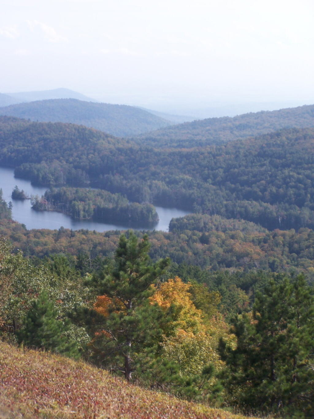
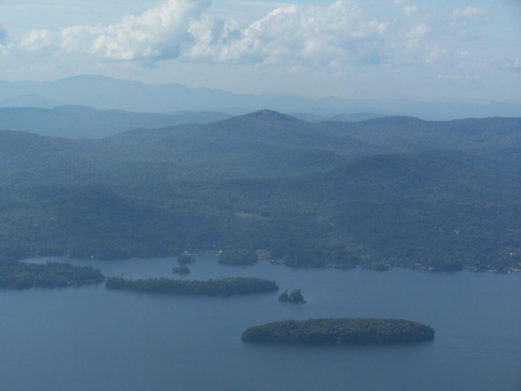
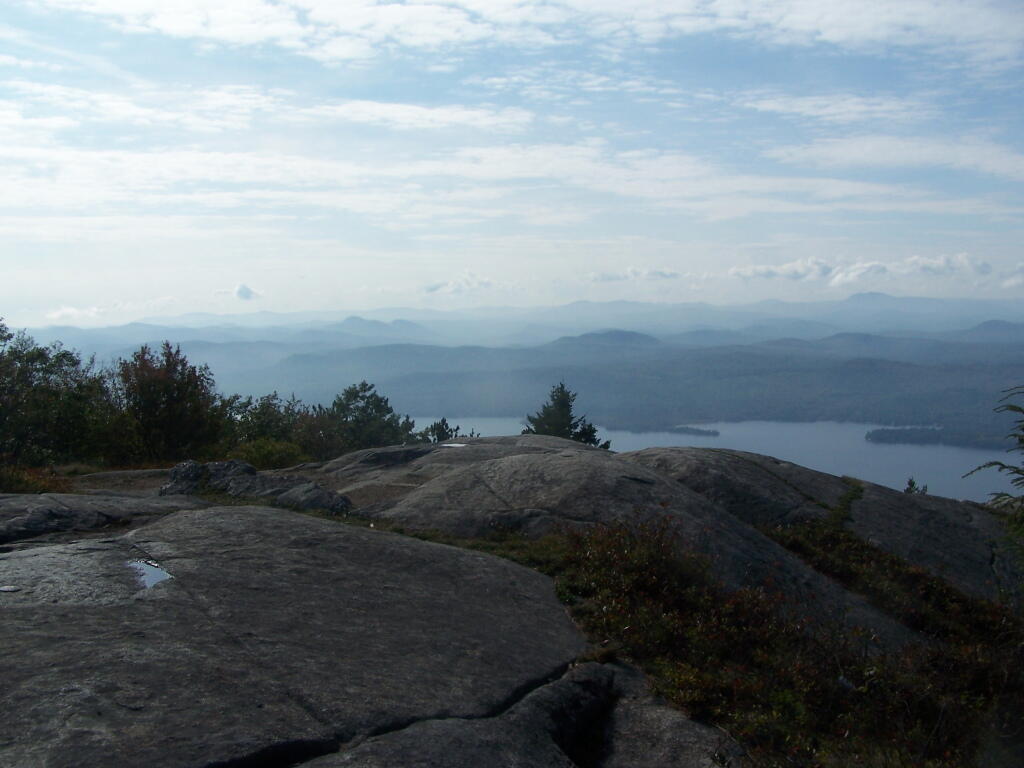
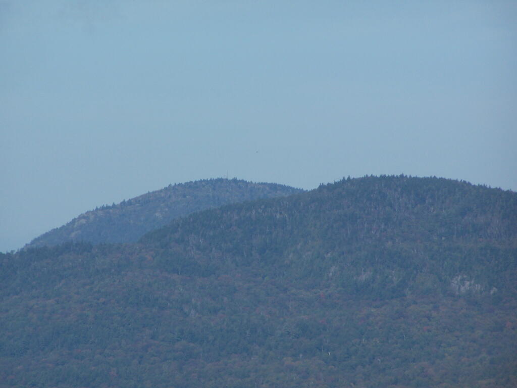
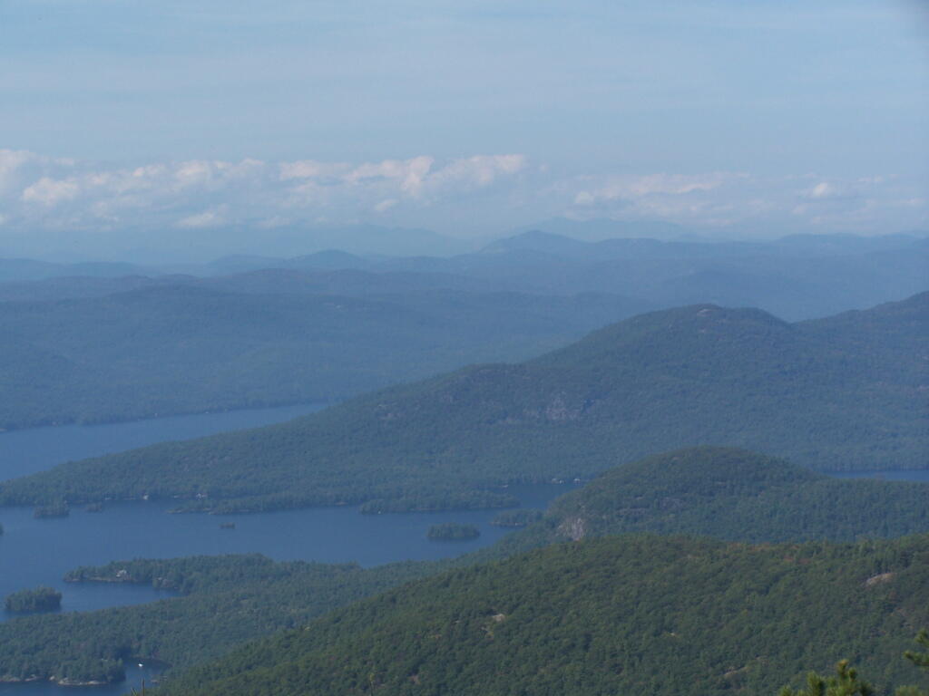
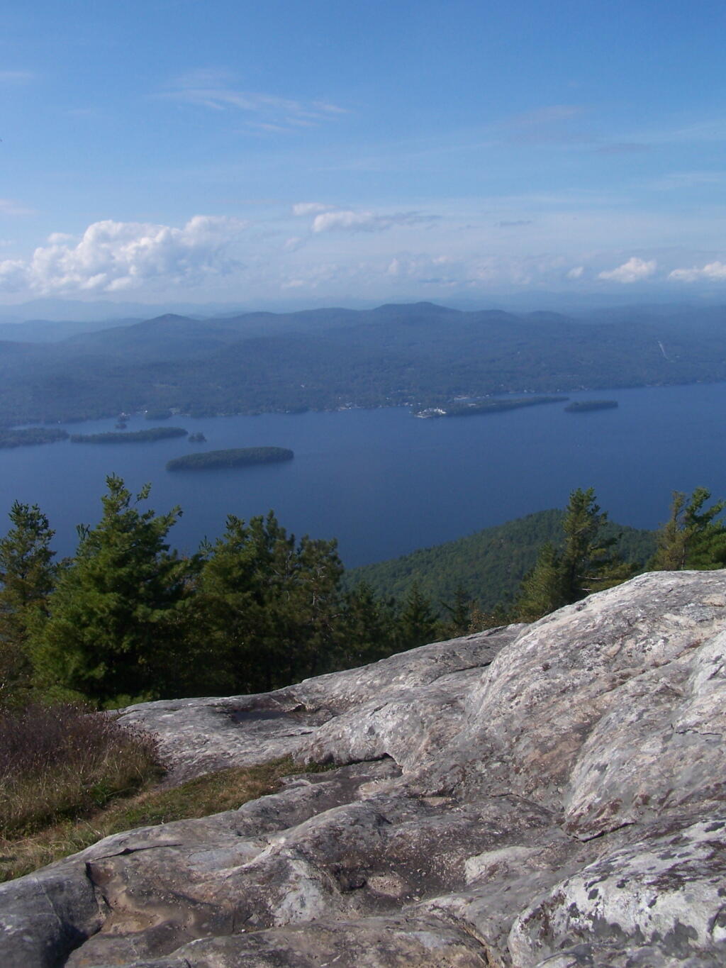
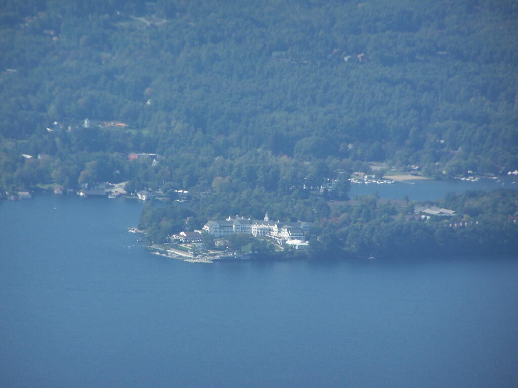
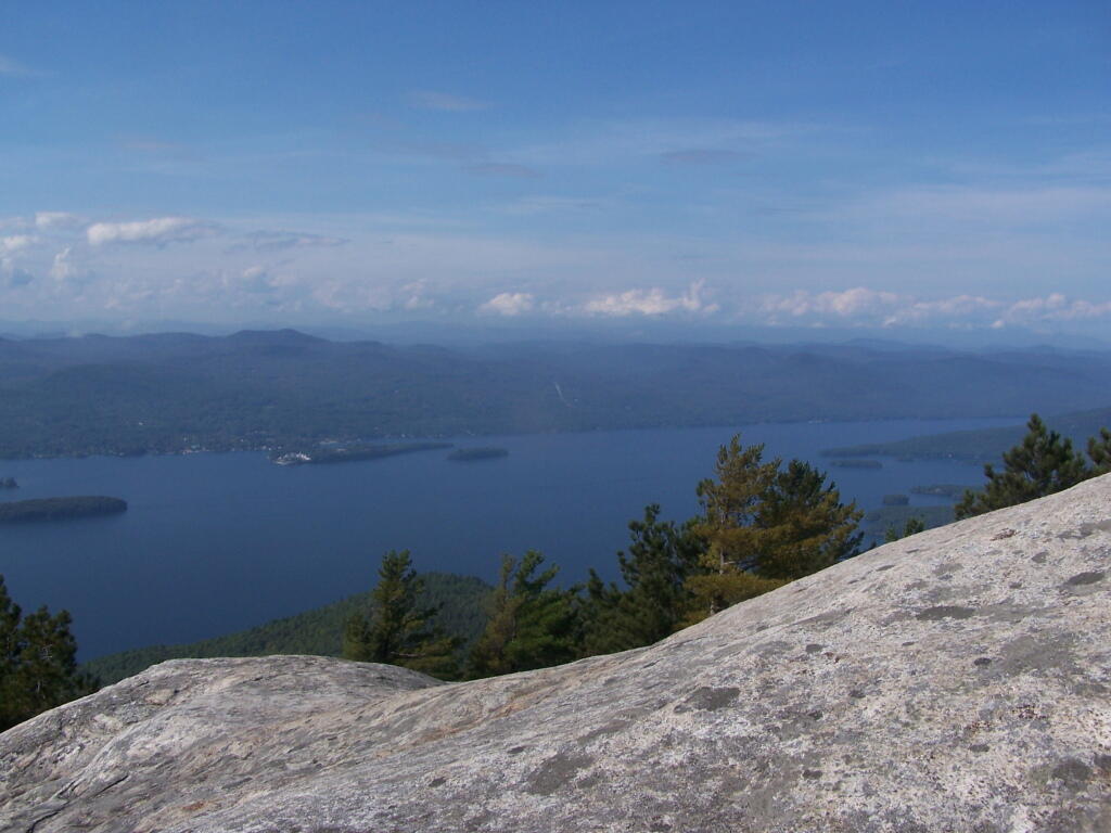
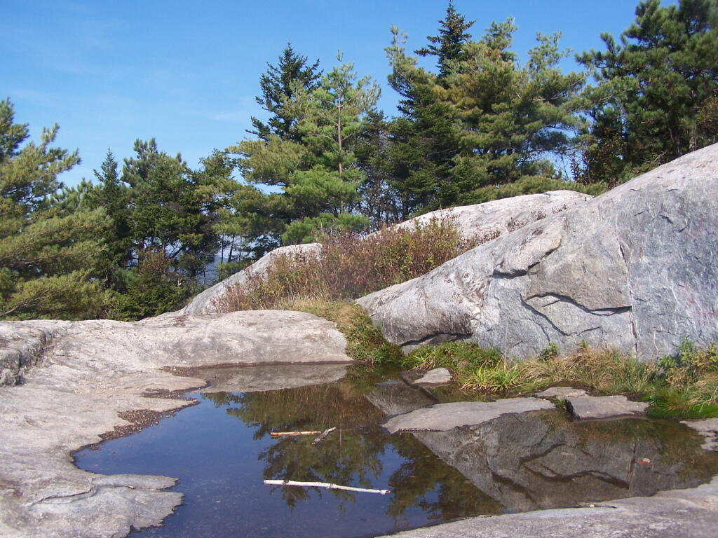
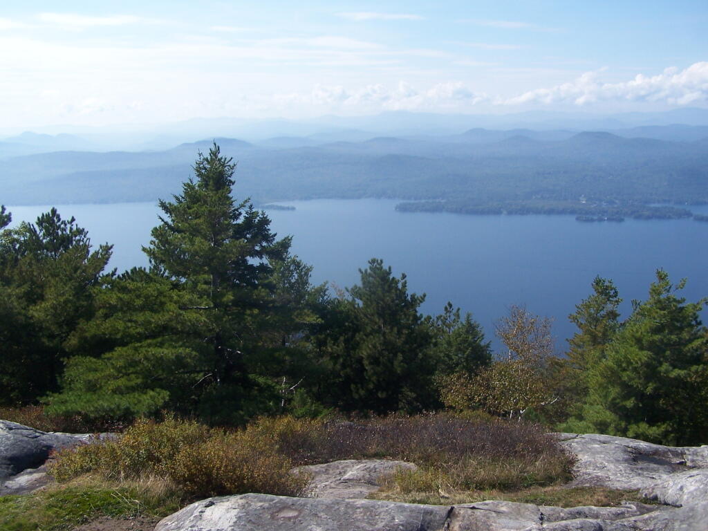
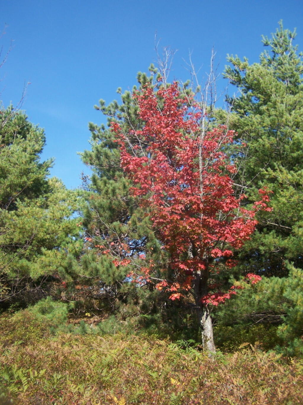
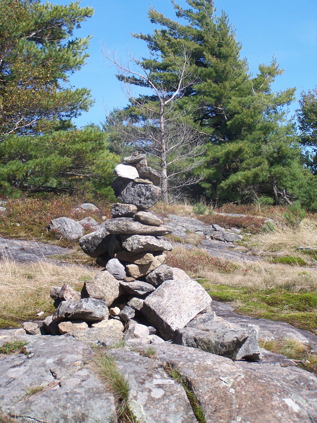
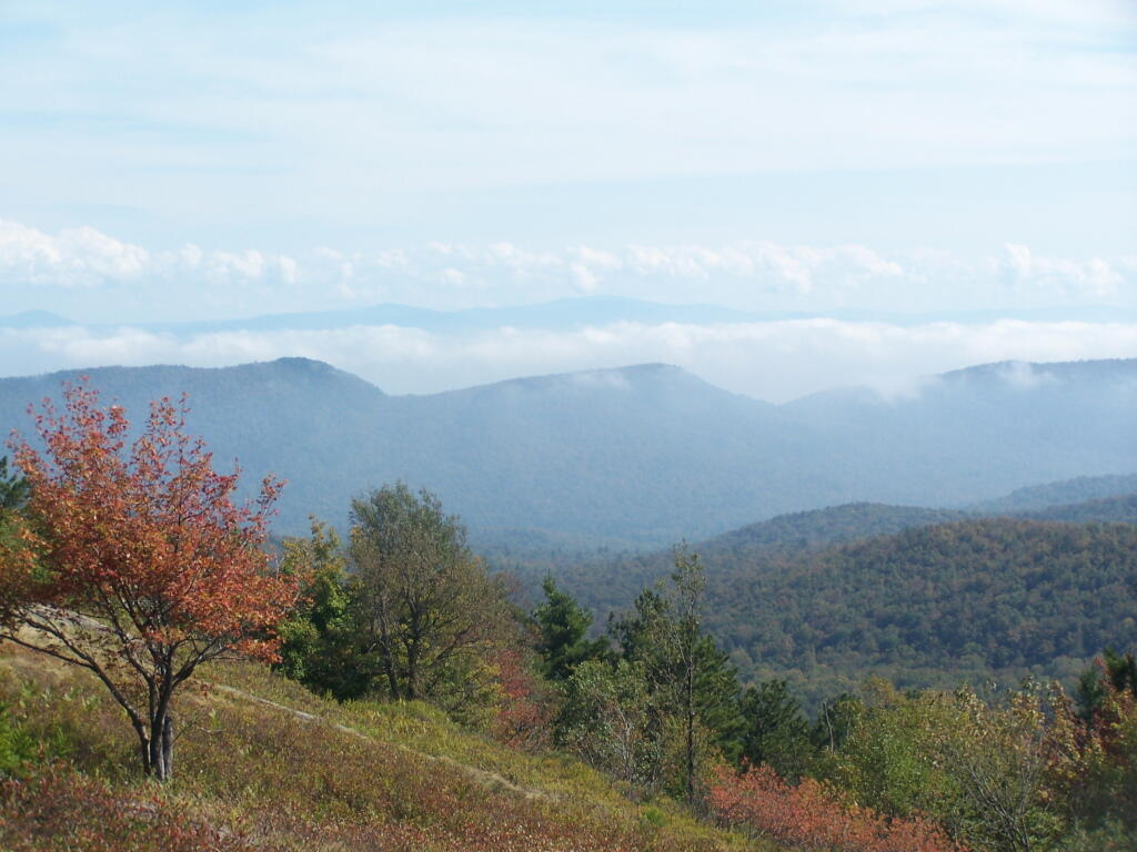
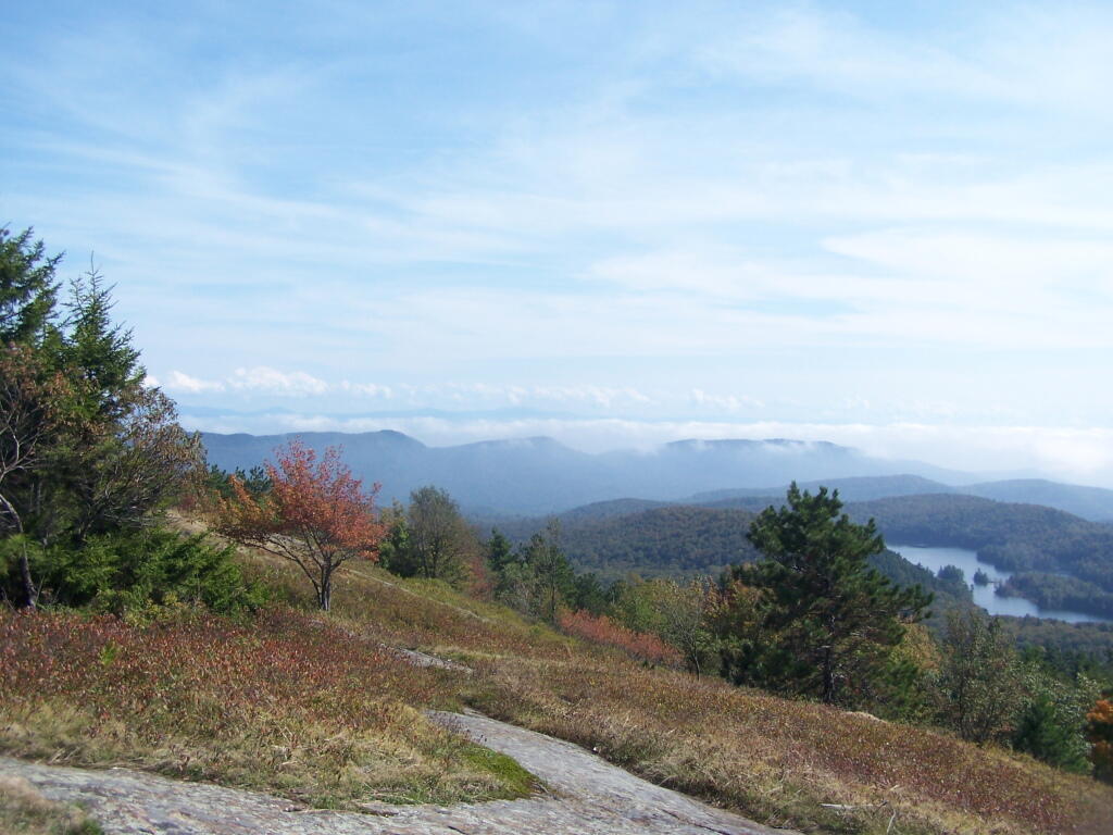
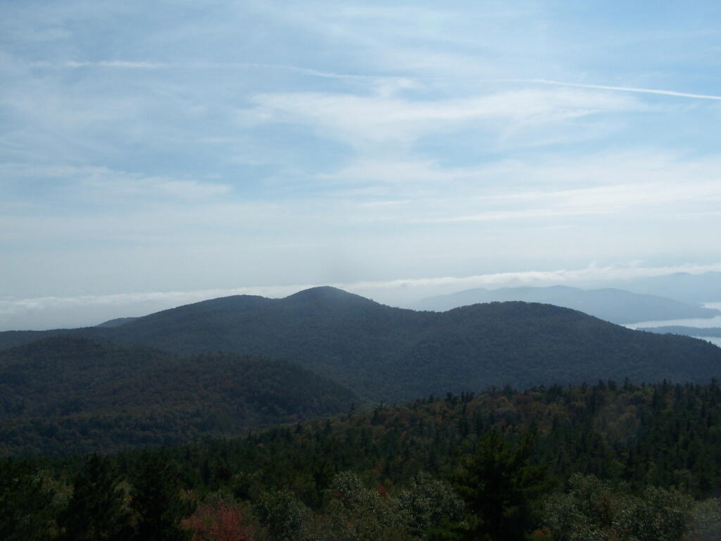
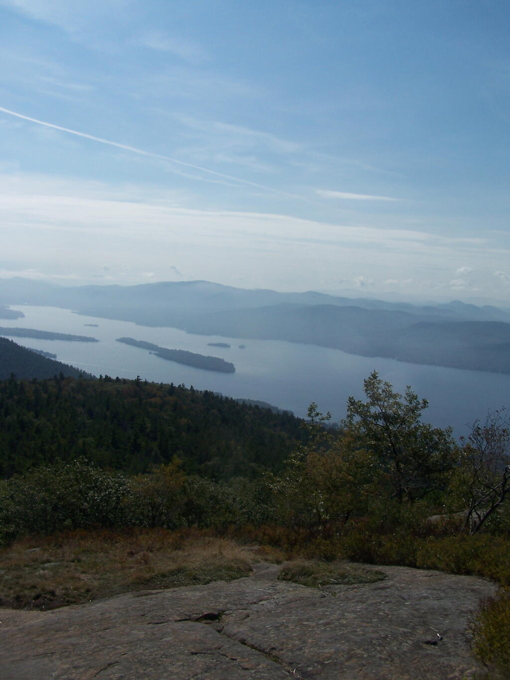
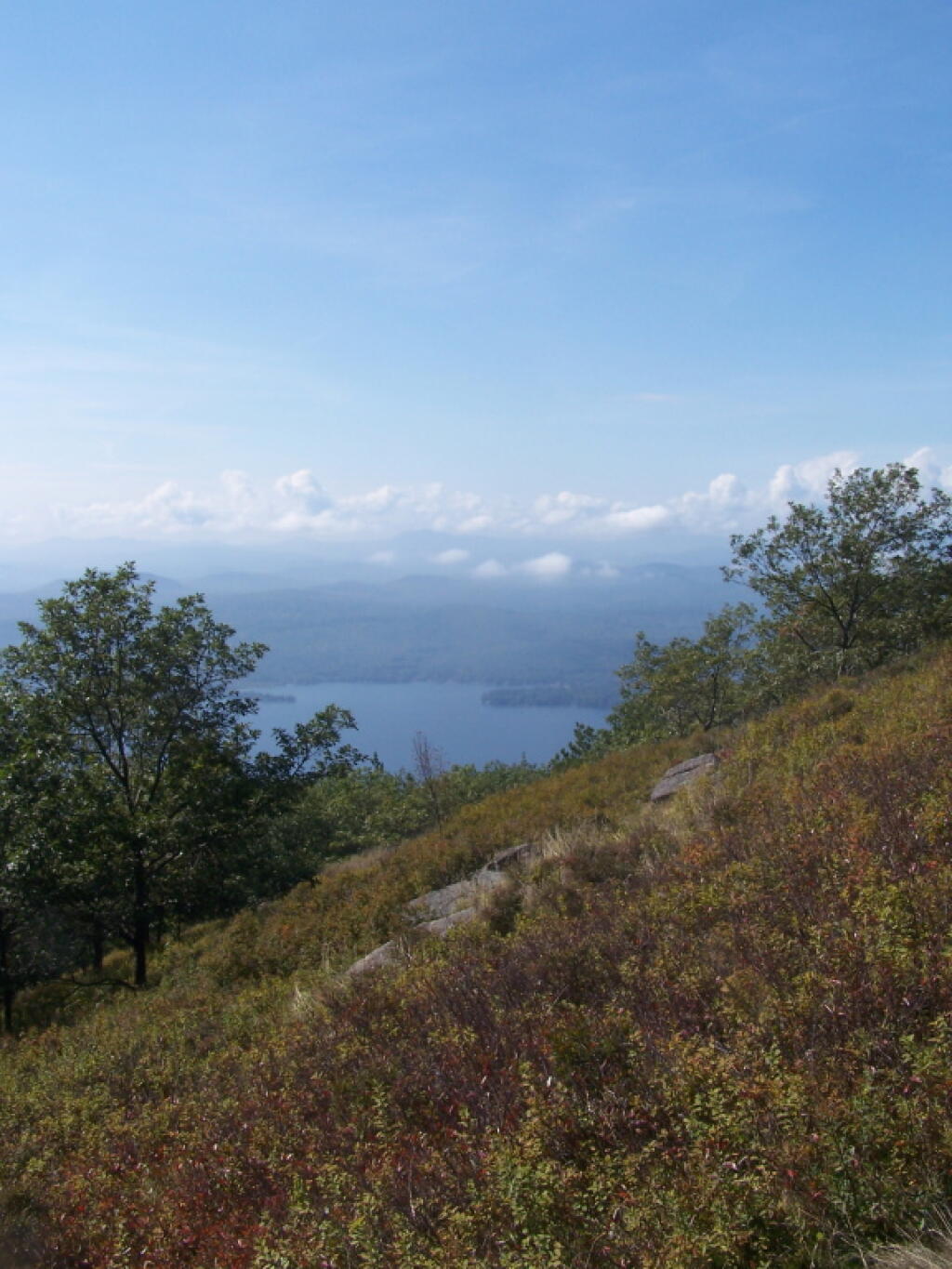
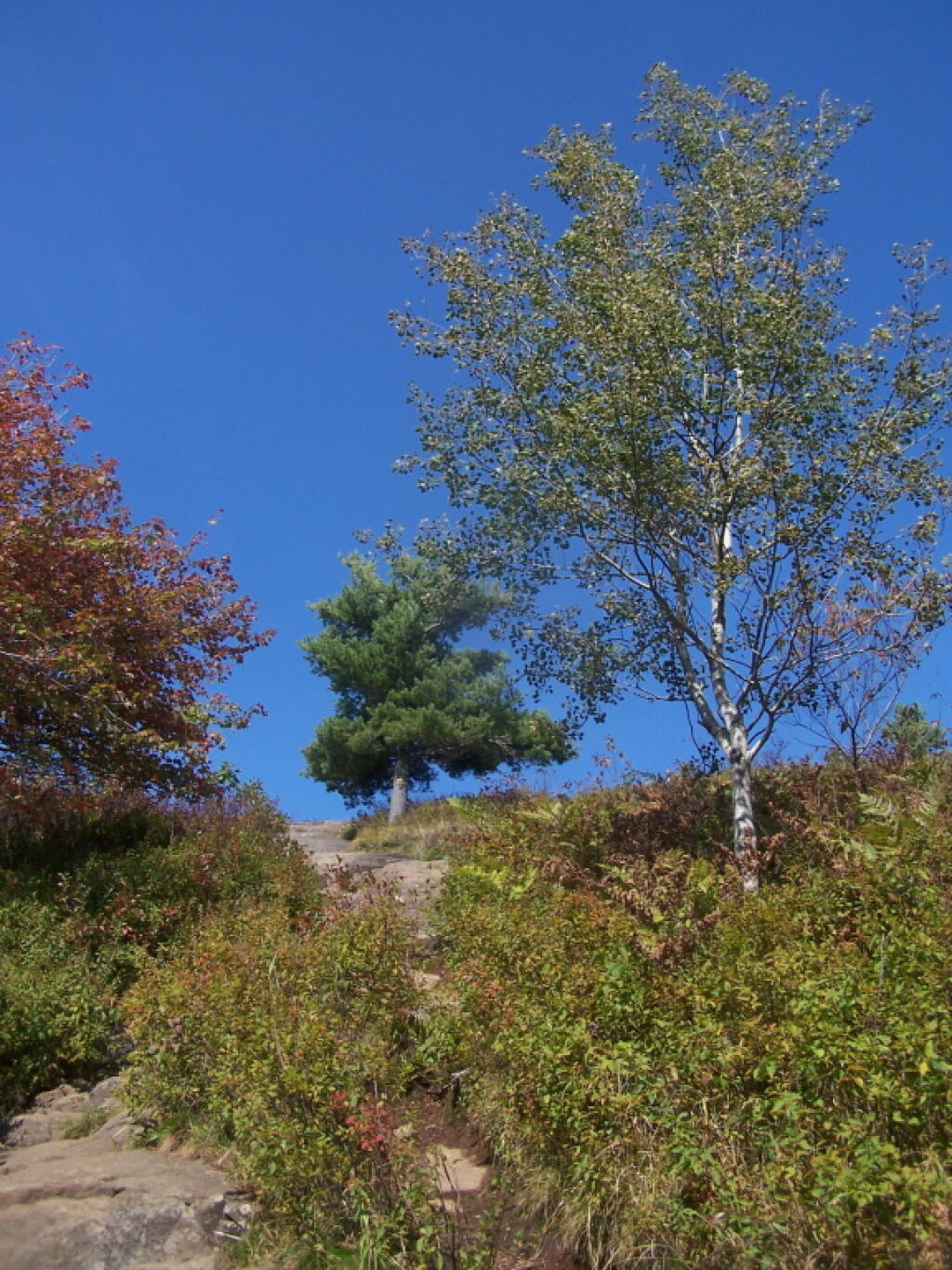
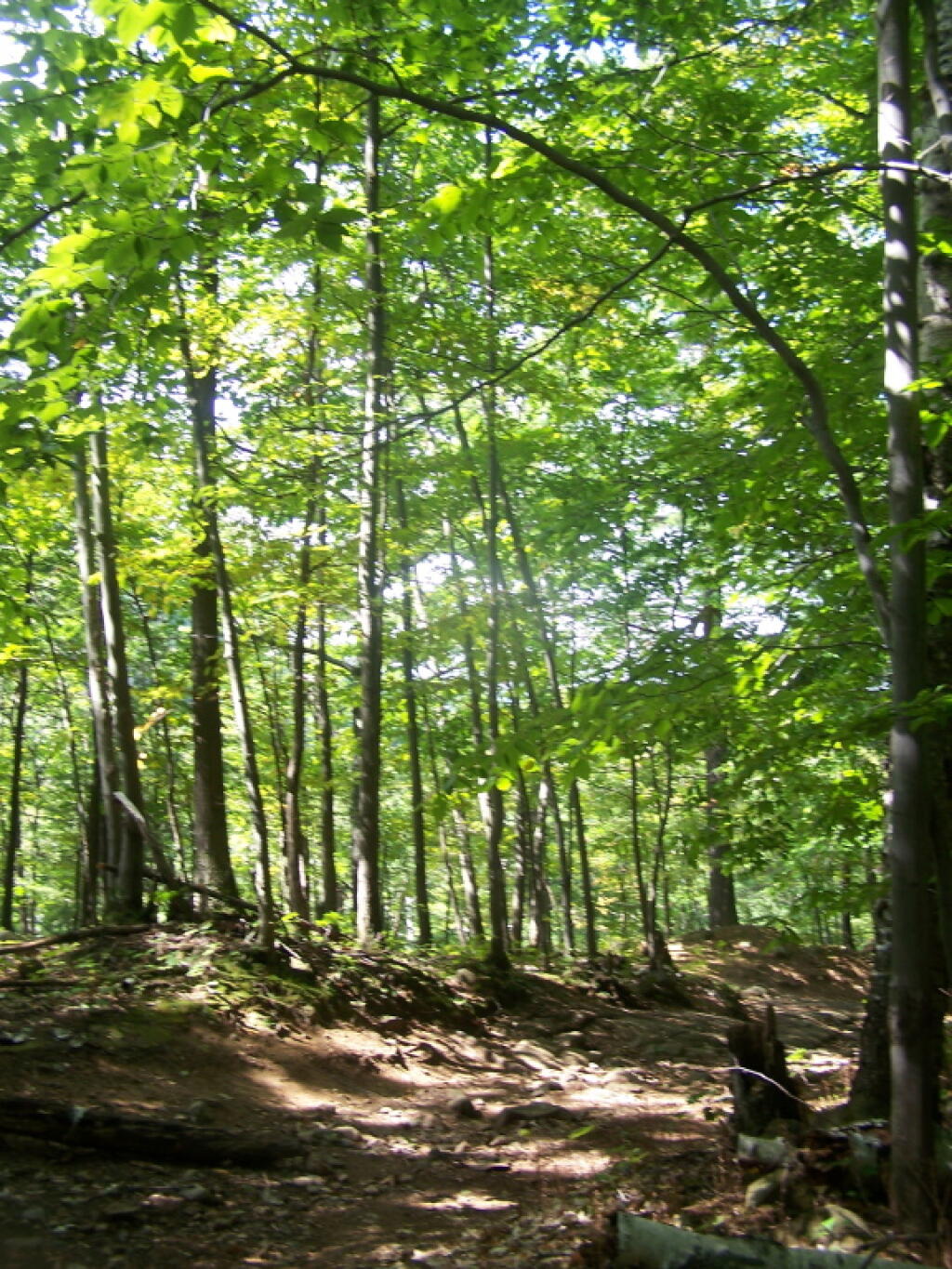
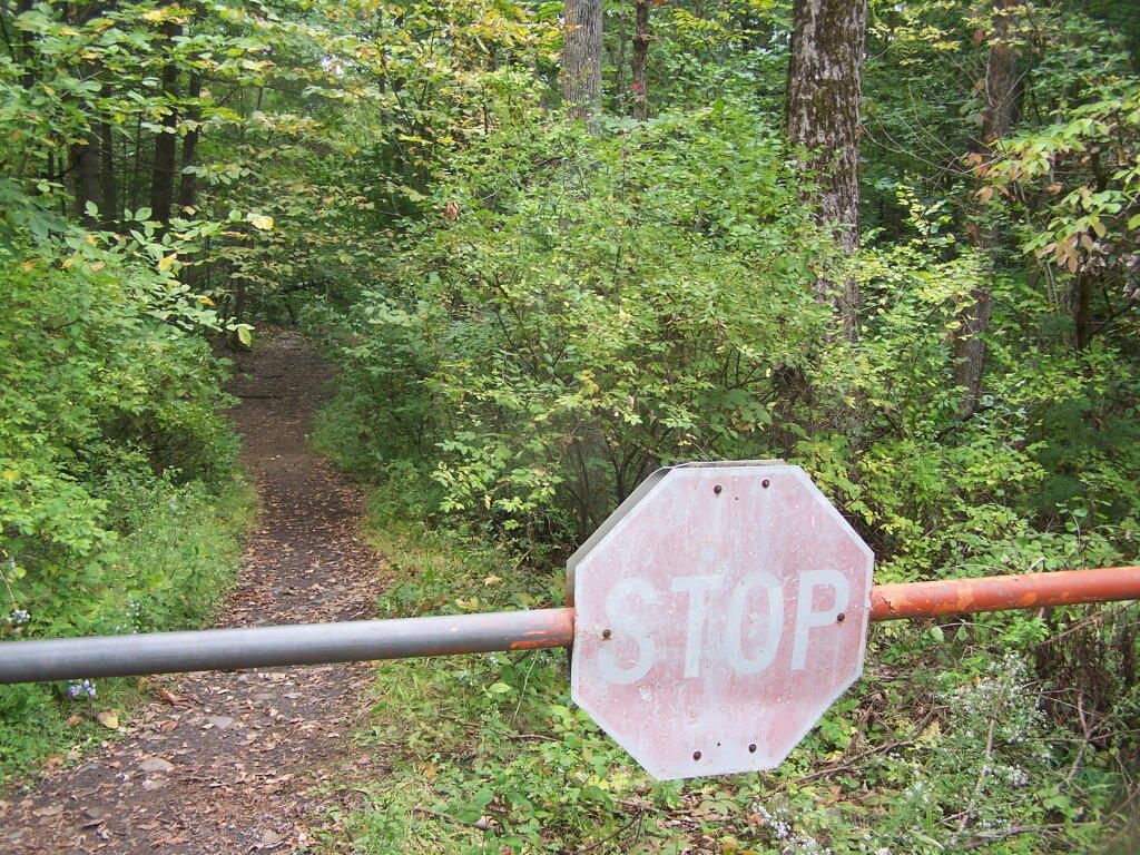
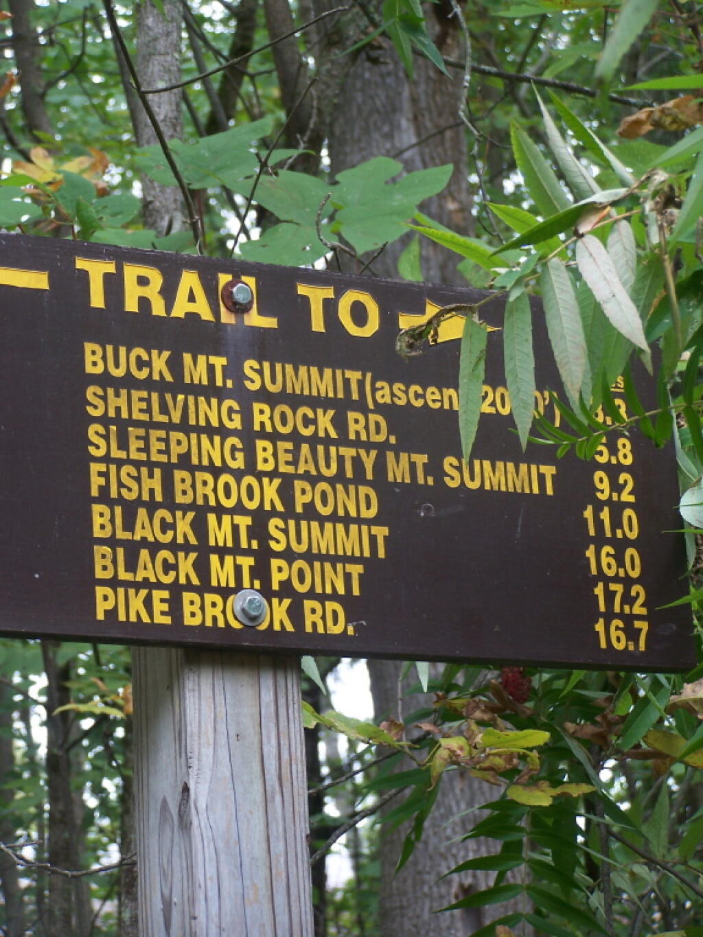
This past fall I hiked up Buck Mountain on a day when the fog was lifting. Not as clear as I had hoped, but still quite a nice little hike.
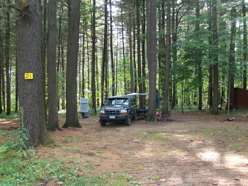
1) Roughly a quarter mile separation between each campsite to enhance privacy, allow people to make noise or listen to music into the night, without disturbing other parties.
2) A flat place to park and set up camp, far enough off the road to provide some privacy buffer and ensure safety – i.e. not having people putting up tents right next to the truck trail where cars could be passing at any moment.
3) Provides wild forest experience, with tall and old growth or nearly old growth trees around the site.
4) Not aggressive regulation of campsites, minimal patrolling by government bureaucrats.
5) Provides a relatively flat and open place to camp with some gravel or elevation so it’s not too muddy even after use.
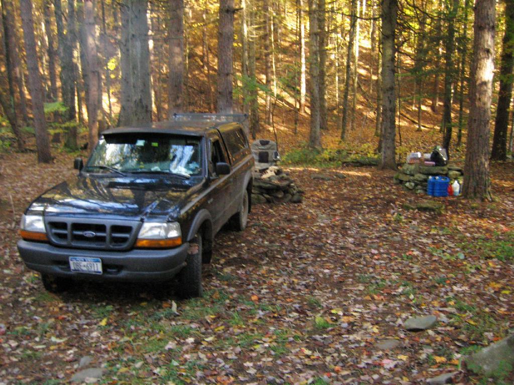
6) A clean site without a lot of litter – people should be encouraged to burn their burnable garbage, and make sure to pack out anything that can’t be burned. Fireplaces and firepits are much more desirable then stone rings.
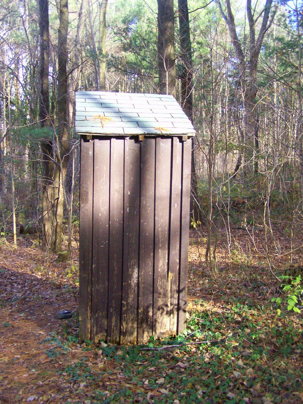
7) Outhouses help enhance sanitary conditions at campsites, especially well used ones. Too often campsites have litter in the form of toilet paper, and to a lesser extent human waste, from it getting dug up by animals.
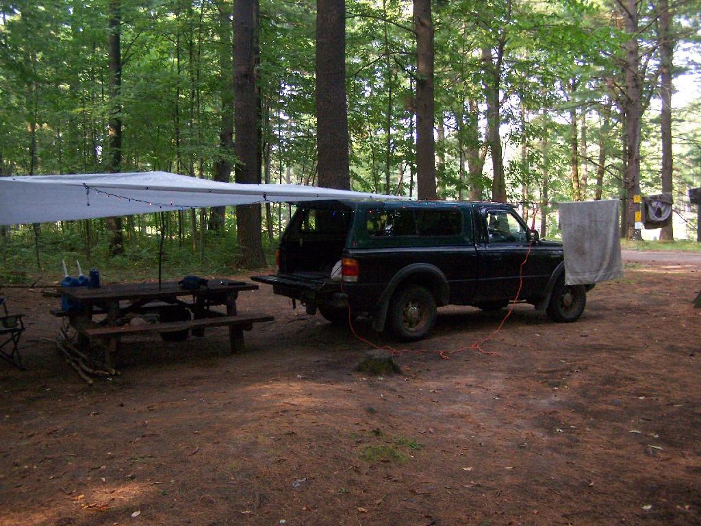
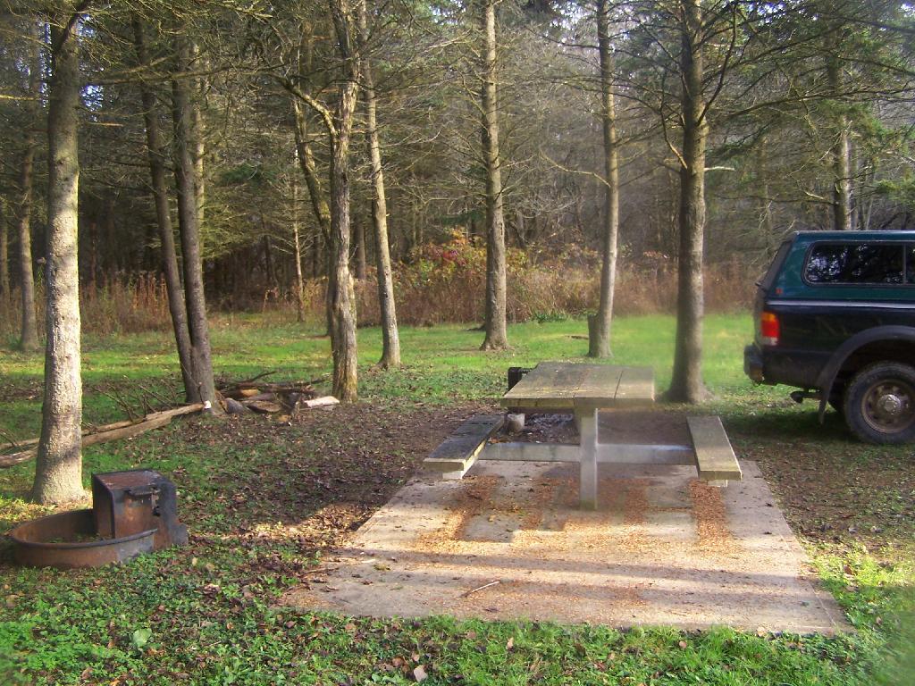
8) Picnic tables are nice to have but not essential. Bring your own table!
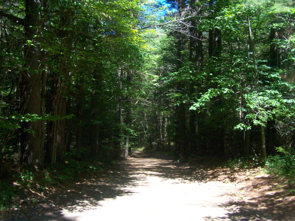
There are several campsites a on side roads, little ways off of NY 30, as you head North from Northville towards Wells NY. These campsites are nice if you starting off into the Adirondacks, and are looking for a convenient place to camp for the night, and want campsites quieter then those on NY 8 / East Sacanadaga River.
These sites are all designated with official “Camp Here” discs.
| Road | Number of Sites |
|---|---|
| Hope Falls Road | 3 Vehicle 3 Tent Sites |
| Pumpkin Hollow Road | 2 Vehicle (Between Willis Lake and Inholding) 1 Vehicle (Beyond Inholding) |
From Northville on Hope Falls Road, you drive north and north. The paved road goes on for several miles, until you finally reach the “Seasonal Use Only” sign, and hte pavement ends it becomes a one lane road.

Click the map above to print it.
None of these campsites are particularly fancy, although there is a single outhouse for the first grouping of campsites on the southern port of the road.

All of the campsites run along Stoney Creek …
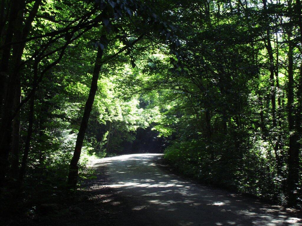
The campsites are a ways back on Pumpkin Hollow Road, a dirt road, beyond Willis Lake and the camps along it. Pumpkin hollow is a short ways south of the Sacanadaga River DEC Campground, it starts out as a paved road by a white house, then eventually a mile or two back becomes unpaved and one lane.
You can print the above map by clicking on it and printing it.
Here’s sample designated campsite on Pumpkin Hollow Road.
And Pumpkin Hollow Road…
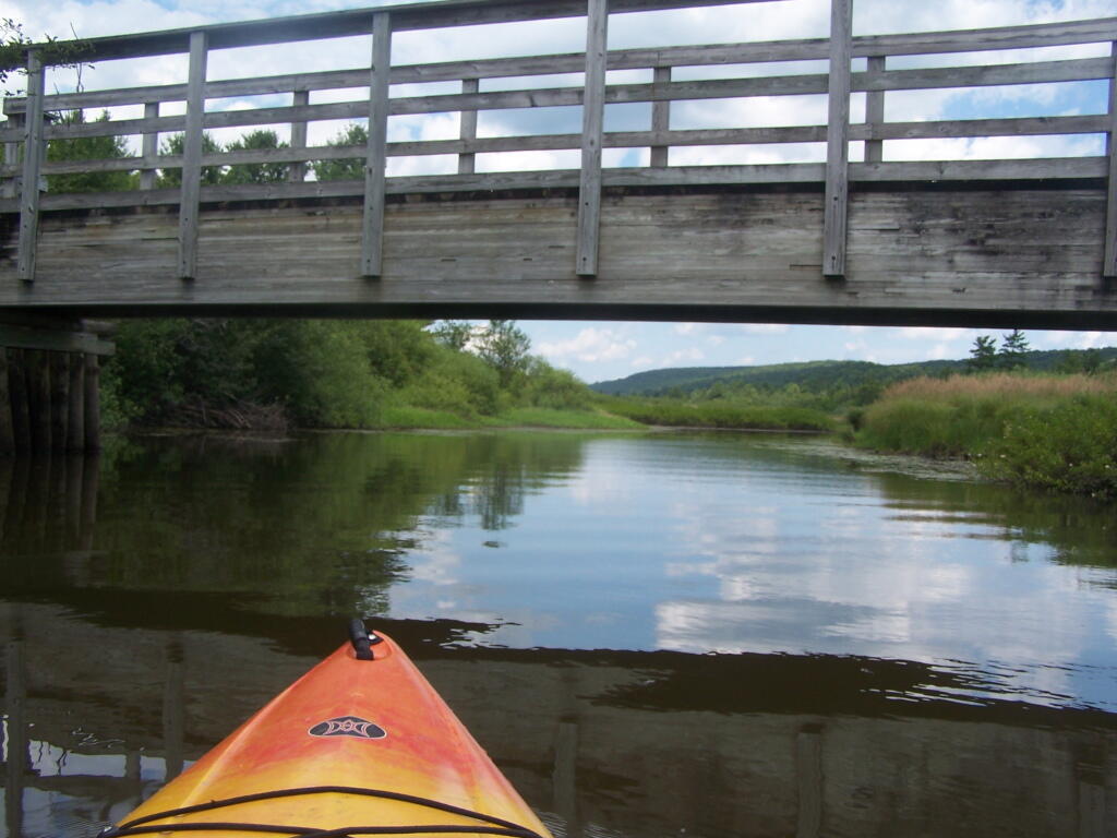
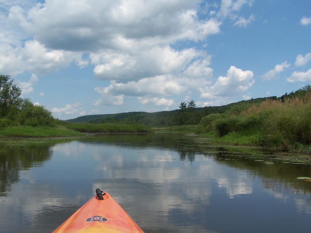
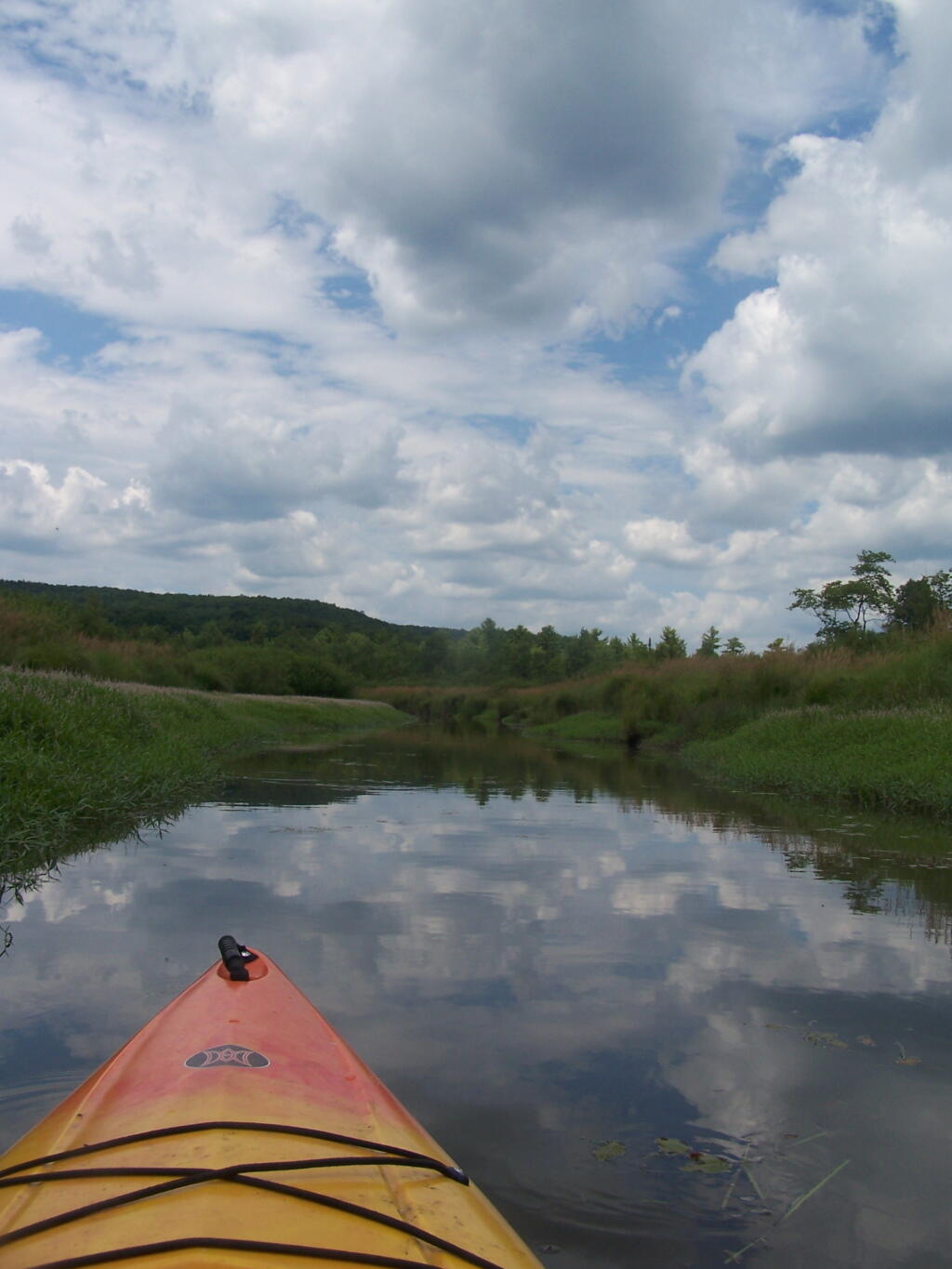
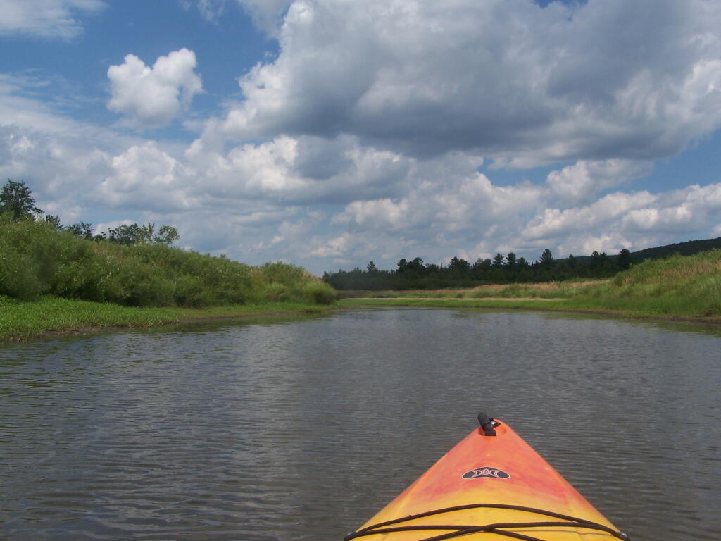
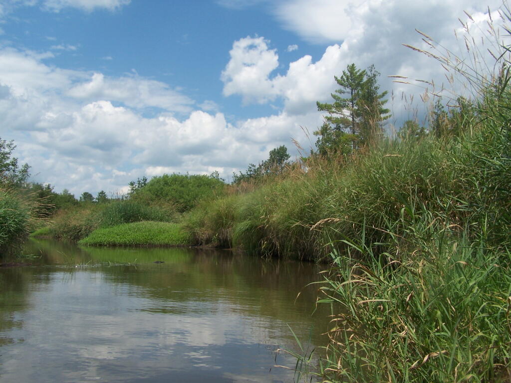
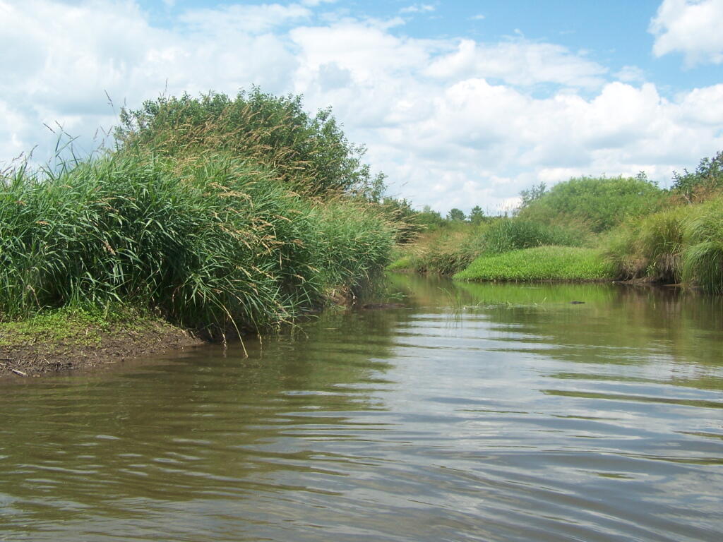
Where is a quiet place to kayak near Cedar Ridge and the Brookfield Horse Camp? Have you ever thought about kayaking the Beaver Creek, from Horse Trail 60 north until the end of the navigable waters?
You take Fairgrounds Road north from Brookfield NY, until a first parking area on the left of the road. This is Horse Trail 60. It’s a short portage (1/8 mile) until you reach the bridge crossing the Beaver Creek.
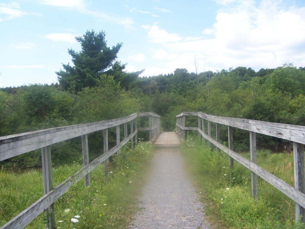
Put in the on the side of this bridge. I did from the east side, through the marshy ground, but you could portage over the horse bridge, then put on the west side, and avoid the marshy ground.
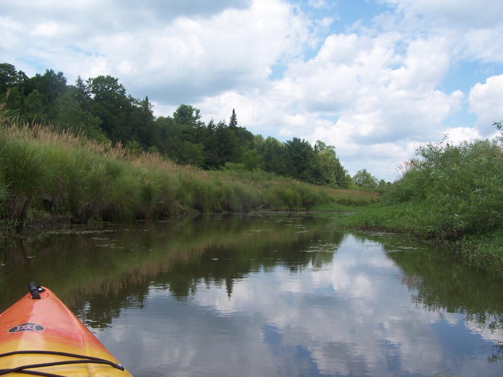

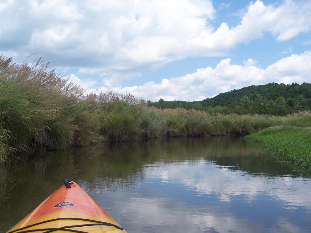
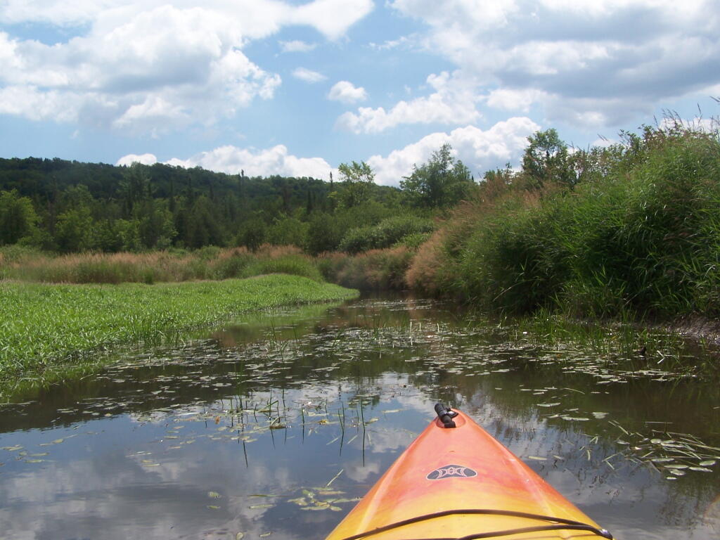
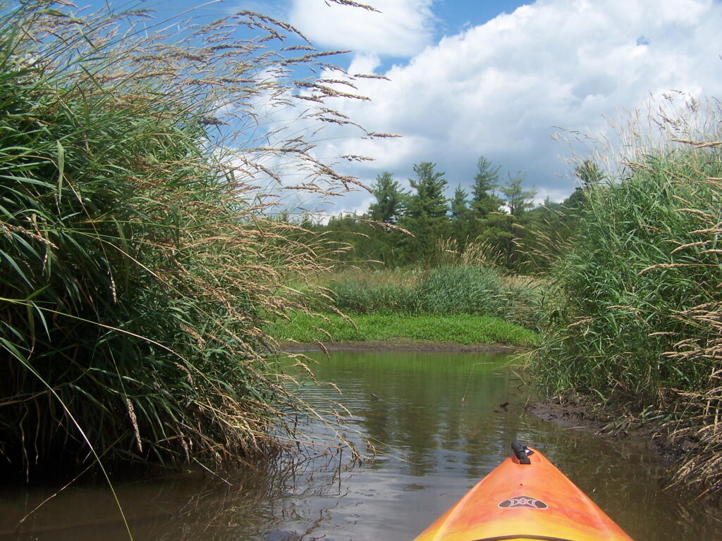
Having a good set of wheels means you won’t have to carry your kayak, but make sure not to drag it on the gravel to avoid wearing holes in your kayak, as I learned earlier this summer.
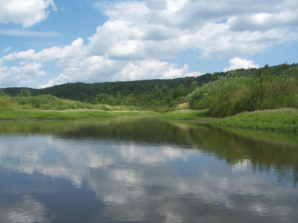
This is a delightful little trip. Do drive the Charles Baker Auto tour, or hike some of the many trails in the area…
Roadside: 9, Tent: 1, Leanto: 0 nights …
| Date | Campsite | Where | Type | Notes |
|---|---|---|---|---|
| 06/19/11 | Campsite On Forest Road 70 Near Lye Wilderness | Forest Road 70, Green Mountains NF, Kelley Stand, VT | Roadside camping (in pickup truck): no charge | Hiked towards Big Alder, but couldn’t cross stream. Rainy day, did a little paddling in Powley Place. Nicer day on Memorial Day |
| 06/04/11 | Campsite On Back Side of Stockmans Island | Stockmans Island, Hudson River State Park, NY | Tent camping after paddling in on kayak | Put in at Coxscakie Boat Launch, camped on an island in Hudson River. |
| 05/29/11 | Powley Place (Campsite 9) | Piseco-Powley Road, Ferris Lake Wild Forest, Stratford, NY | Roadside camping (in pickup truck): no charge | Hiked towards Big Alder, but couldn’t cross stream. Rainy day, did a little paddling in Powley Place. Nicer day on Memorial Day. |
| 05/28/11 | Powley Place (Campsite 9) | Piseco-Powley Road, Ferris Lake Wild Forest, Stratford, NY | Roadside camping (in pickup truck): no charge | Rainy day. Hiked around Powley Place. |
| 05/27/11 | Powley Place (Campsite 9) | Piseco-Powley Road, Ferris Lake Wild Forest, Stratford, NY | Roadside camping (in pickup truck): no charge | Left work early, drove up there. Nice evening before the rain. |
| 05/21/11 | Cheney Pond | Cheney Pond, Vanderwhacker Wild Forest, Newcomb, NY | Roadside camping (in pickup truck): no charge | Explored Vanderwhacker Wild Forest. Kayaked around Cheney Pond couple of times, explored Tawandus Ruins. |
| 05/20/11 | Fox Lair Campsite | NY Route 8, Wilcox Lake Wild Forest, Bakers Mills, Adirondacks, NY | Roadside camping (in pickup truck): no charge | Much nicer this time, a little rain, things greened up. Got a little rain, very damp. |
| 04/22/11 | Fox Lair Campsite | NY Route 8, Wilcox Lake Wild Forest, Bakers Mills, Adirondacks, NY | Roadside camping (in pickup truck): no charge | Woke up to 3” of cold wet snow and rain, decided to go home and abandon trip. |
| 04/21/11 | Gravel Pit Campsite | NY Route 8, Wilcox Lake Wild Forest, Griffin, Adirondacks, NY | Roadside camping (in pickup truck): no charge | Cold morning, trees covered with ice. Hike up around part of 13th Lake near North Creek, NY |
| 04/09/11 | Moscow Hill Horse Camp | Brookfield State Forest aka Charles Baker State Forest, Brookfield, NY | Roadside camping (in pickup truck): no charge | One other camper here, no equestrians this time of year. Wanted to camp on Cherry Ridge, however too much snow there. |

Roadside: 28, Tent: 2, Leanto: 1 nights …
| Date | Campsite | Where | Type | Notes |
|---|---|---|---|---|
| 12/4/10 | Old NY 8 | Wilcox Lake Wild Forest, Griffin, NY | Roadside camping (in pickup truck): no charge | Very cold. Ice and snow on truck in morning. Kind of close to NY 8, but all the best campsites taken by hunters. |
| 11/12/10 | Lower Assembly Area | Sugar Hill State Forest, Watkins Glen, NY | Roadside camping (in pickup truck): no charge | Woke up surrounded by Horse Trailers and equestrians in morning. Assembly area was closed this time of year, but horse trails still widely used. |
| 11/11/10 | Informal campsite on Forest Road 151 | Allegheny National Forest, Near Sayre, PA | Roadside camping (in pickup truck): no charge | Second night at Allegheny National Forest. I liked the site I stayed in the previous day a lot, and the days where too short (sunset at 4:45 PM), so no time to waste searching for a site. |
| 11/10/10 | Informal campsite on Forest Road 151 | Allegheny National Forest, Near Bradford, PA | Roadside camping (in pickup truck): no charge | Many sites in Allegheny National Forest. This one I particularly liked, so I decided to stay there. |
| 11/09/10 | Aspah Run Camping Area | Aspah, near Wellsboro, PA | Roadside camping (in pickup truck): paid primitive area | Decided due to a lack of a time due to early sunset, would have done roadside/back country camping, but for $10, and being alone, it was fine. |
| 11/08/10 | Aspah Run Camping Area | Aspah, near Wellsboro, PA | Roadside camping (in pickup truck): paid primitive area | Camped here, because I didn’t want to camp back country, and didn’t know the area well enough. |
| 11/07/10 | Lower Assembly Area | Sugar Hill State Forest, Watkins Glen, NY | Roadside camping (in pickup truck): no charge | Originally wanted to camp at Birds Eye Lake or something like that, but the map I had got me lost, and I couldn’t find the road campsite up there. |
| 11/06/10 | Campsite 7 | Stoney Pond State Forest, Madison, NY | Roadside camping (in pickup truck): no charge | Frost/ice on puddles in morning. Some snow in some places. |
| 09/05/10 | Campsite 56 | Moose River Plains, Inlet, Adirondacks, NY | Roadside camping (in pickup truck): no charge | Rain showers, enjoyed staying in a very private and quite campsite up in the sandy plains. |
| 09/04/10 | Campsite 56 | Moose River Plains, Inlet, Adirondacks, NY | Roadside camping (in pickup truck): no charge | Hiked to Mitchells Pond. More rain. It was kind of wet and cold. |
| 09/03/10 | Campsite 56 | Moose River Plains, Inlet, Adirondacks, NY | Roadside camping (in pickup truck): no charge | Kind of wet and rainy, hung out in camp, did a little exploring of the plains. Also, paddled in Cedar River Flow for a while. Enjoyed the very private drive in site here. |
| 09/02/10 | Campsite 2 | Moose River Plains, Inlet, Adirondacks, NY | Roadside camping (in pickup truck): no charge | I left work at 5 PM…. but with traffic, and wanting to get a pizza to eat on the way up, didn’t get to Moose River Plains until after 9 PM. Very dark, very tired, just wanted a place to collapse. |
| 08/28/10 | An Designated Campsite | Big Pond, near Margretville, NY | Kayak in Primitive Campsite: no charge | Did a little hiking an exploring around Ashfield Pinnacle, then drove south to Big Pond. Lantern did not work, a very dark night. |
| 08/27/10 | Betty Brook Campsite | Burnt-Rossman Hill State Forest, Schoharie, NY | Roadside camping (in pickup truck): no charge | Nice night after work…. drove around Mallet Pond State Forest, looking for campsites and interesting places to explore. |
| 08/14/10 | Mountain Pond Campsite 4 | Mountain Pond, Paul Smiths, NY | Roadside camping (in pickup truck): no charge | Last day of NY 30 Kayak vacation. Mountain Pon was nice, very remote, just off of NY 30. |
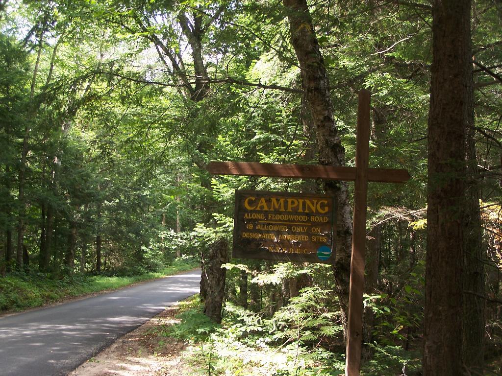
| 08/13/10 | Floodwood Road Campsite 3 | Floodwood Road, Fish Creek Ponds, NY | Roadside camping (in pickup truck): no charge | Crowded, stayed down by Poliwog Pond… wouldn’t go there again. |
| 08/12/10 | Horseshoe Lake Campsite 8 (about a ½ mile from lake) | NY 421, Horseshoe Lake, NY | Roadside camping (in pickup truck): no charge | Couldn’t get a site right on Horseshoe Lake. Discovered Lows Lake – amazing. |
| 08/11/10 | Wakely Pond Campsite 7 | Moose River Plains, Inlet, Adirondacks, NY | Roadside camping (in pickup truck): no charge | Wanted to paddle Cedar River Flow and enjoy camping up near water … |
| 08/10/10 | Undesigned Campsite, west side of road | Mason Lake, Spectulator, NY | Roadside camping (in pickup truck): no charge | First day of kayak vacation, as I drove up from work, decided to go somewheres not too far away … |
| 07/31/10 | Undesigned Campsite, west side of road | Mason Lake, Spectulator, NY | Roadside camping (in pickup truck): no charge | Hiked to Pillsbury Mountain Firetower, then camped down at Mason Lake. |
| 07/18/10 | Otter Brook Campsite (MRP Number 110) | Moose River Plains, Inlet, Adirondacks, NY | Roadside camping (in pickup truck): no charge | Camped by the Otter Brook Bridge, at a rather large campsite. Not my favorite campsite, and it poured out. |
| 07/17/10 | Wakely Pond Campsite 8 | Moose River Plains, Inlet, Adirondacks, NY | Roadside camping (in pickup truck): no charge | Camped down by Cedar River Flow, in a drive in site, a short way from the Flow, but also pretty private. |
| 07/16/10 | Wakely Pond Campsite 8 | Moose River Plains, Inlet, Adirondacks, NY | Roadside camping (in pickup truck): no charge | Camped down by Cedar River Flow, in a drive in site, a short way from the Flow, but also pretty private. |
| 07/15/10 | Wakely Pond Campsite 8 | Moose River Plains, Inlet, Adirondacks, NY | Roadside camping (in pickup truck): no charge | Camped down by Cedar River Flow, in a drive in site, a short way from the Flow, but also pretty private. |
| 06/27/10 | Balsam Swamp Camping Area Site 3 | Balsam Pond, East East Pharsalia, NY | Roadside camping (in pickup truck): no charge | Came back to here, after exploring Labrador Hollow. |
| 06/26/10 | Balsam Swamp Camping Area Site 3 | Balsam Pond, East East Pharsalia, NY | Roadside camping (in pickup truck): no charge | Stop over between Burnt-Rossman and Labrador Hollow. Liked camping here in the past. |
| 06/25/10 | Duck Pond Campsite | Burnt-Rossman Hill State Forest, Summit, NY | Roadside camping (in pickup truck): no charge | Camped up a Duck Pond for a change, after driving out here after work. |
| 06/05/10 | Leonard Hill Informal Overlook and Campsite | Leonard Hill, Broome Center, NY | Roadside camping (in pickup truck): no charge | Camped up by the Firetower at an informal campsite, watched sun set, weather turned to rain by morning … |
| 06/04/10 | Betty Brook Campsite | Burnt-Rossman Hill State Forest, Schoharie, NY | Roadside camping (in pickup truck): no charge | Camped at Betty Brook, very humid, drove down to Utsaythana Firetower. |
| 05/15/10 | Alder Pond Campsite 2 | Alder Pond, Balsam Lake Wild Forest, Margretville, NY | Tent campsite…. short backpack in: no charge | Camped at one of the campsites around Alder Pond. |
| 04/03/10 | Betty Brook Campsite | Burnt-Rossman Hill State Forest, Schoharie, NY | Roadside camping, in a tent | Didn’t have the cap on my truck yet, but wanted to roadside camp. |
| 03/21/10 | Cotton Hill Lean To | Cotton Hill, Middleburgh | Short backpack into a leanto | There was about a foot of snow up by Cotton Hill Leanto on first day of spring, but due to abnormally warm weather, wasn’t all that cold until late into the night. |
Roadside: 3, Tent: 0, Leanto: 0 (thru August 2009) …
| Date | Campsite | Where | Type | Notes |
|---|---|---|---|---|
| 10/11/09 | Betty Brook Campsite | Burnt-Rossman Hill State Forest, Schoharie, NY | Roadside camping (in pickup truck): no charge | First really cold evening of the year, very much fall like. I didn’t bring my warm coat with me. |
| 10/10/09 | Betty Brook Campsite | Burnt-Rossman Hill State Forest, Schoharie, NY | Roadside camping (in pickup truck): no charge | Fairly cold night, but not as bad as one might have thought. On way out, stopped at Leonard Hill to take some pictures. |
| 08/08/09 | Betty Brook – informal campsite along road | Burnt-Rossman Hill State Forest, Schoharie, NY | Roadside camping (in pickup truck): no charge | After hiking Slide Mountain and Balsam Lake Firetower. Dead tired … |

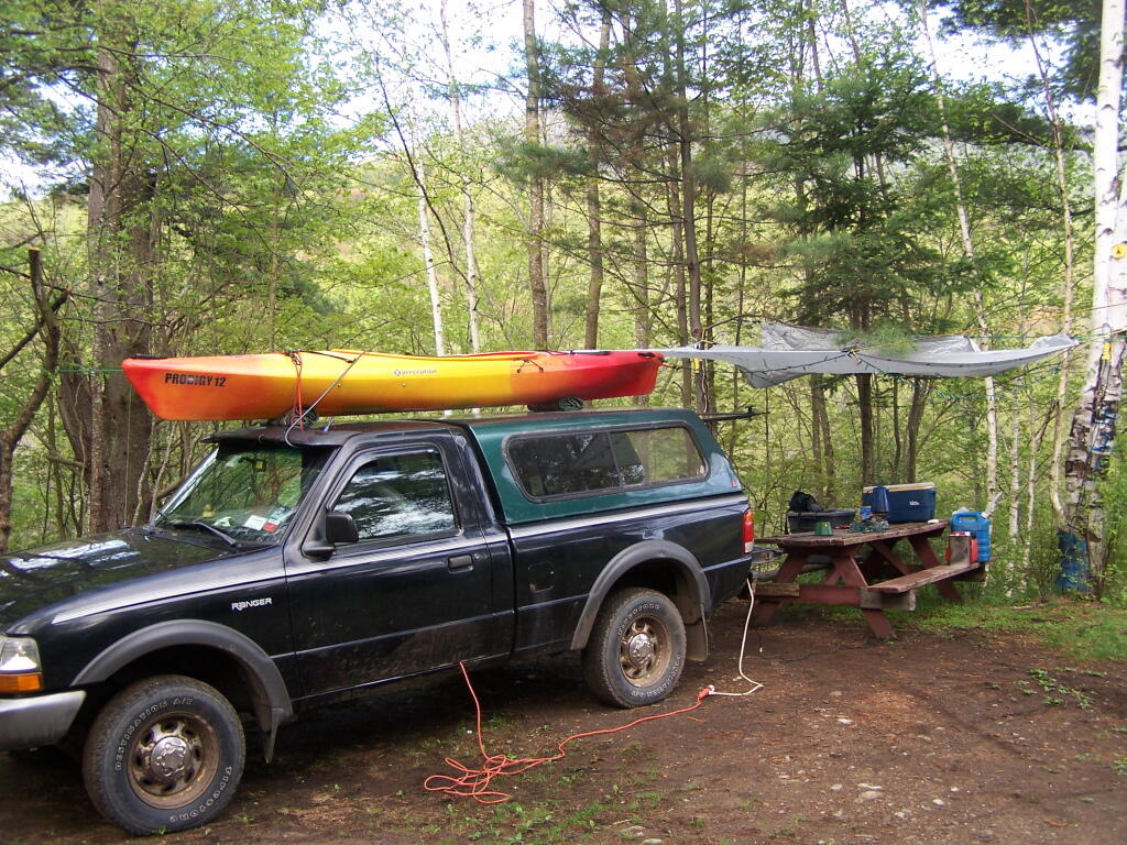
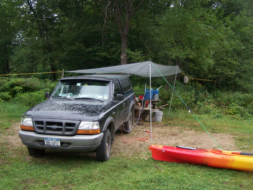
In recent months I have done a series of articles about truck camping and my set up. This time I decided to do an article with pictures, showing my set up over the years and some of the equipment I currently use.
This picture was taken camping down by Betty Brook in the Burnt Rossman State Forest. This is one of my favorite places for camping. No fancy gear set up here, just unloaded the things I needed from the back, started a campfire, and enjoying the afternoon sunshine on this cold fall afternoon.
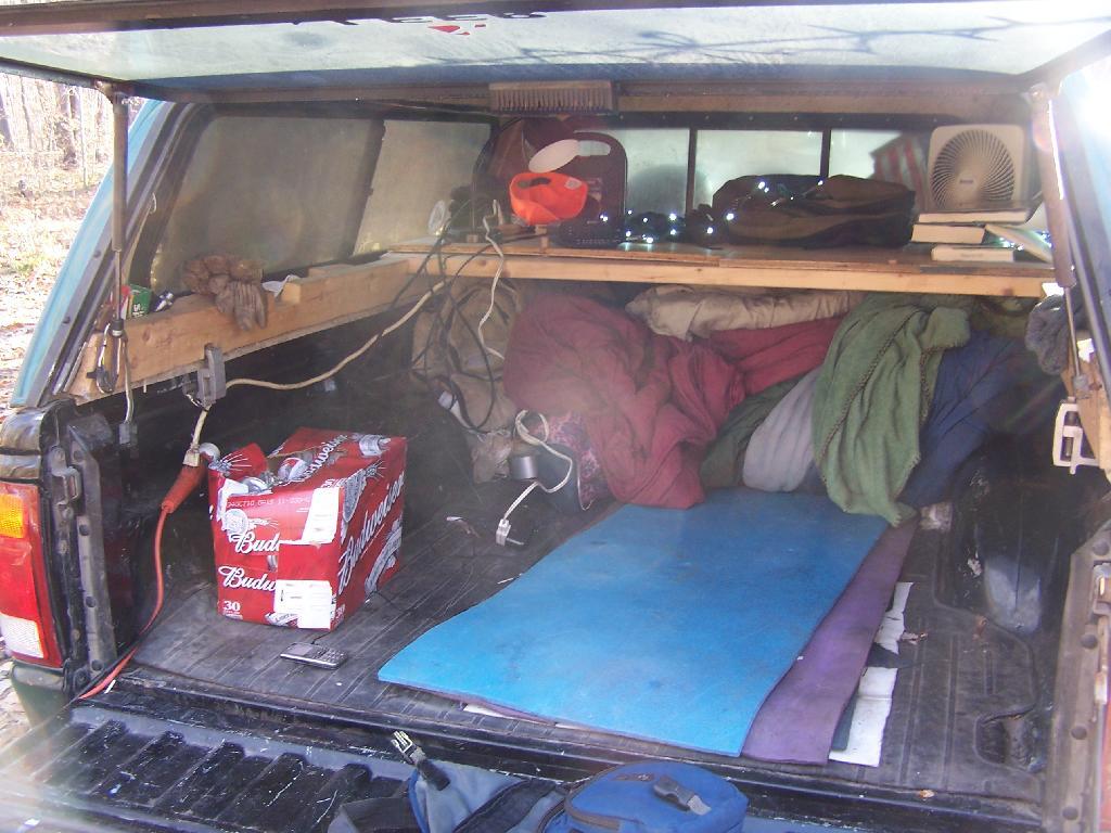
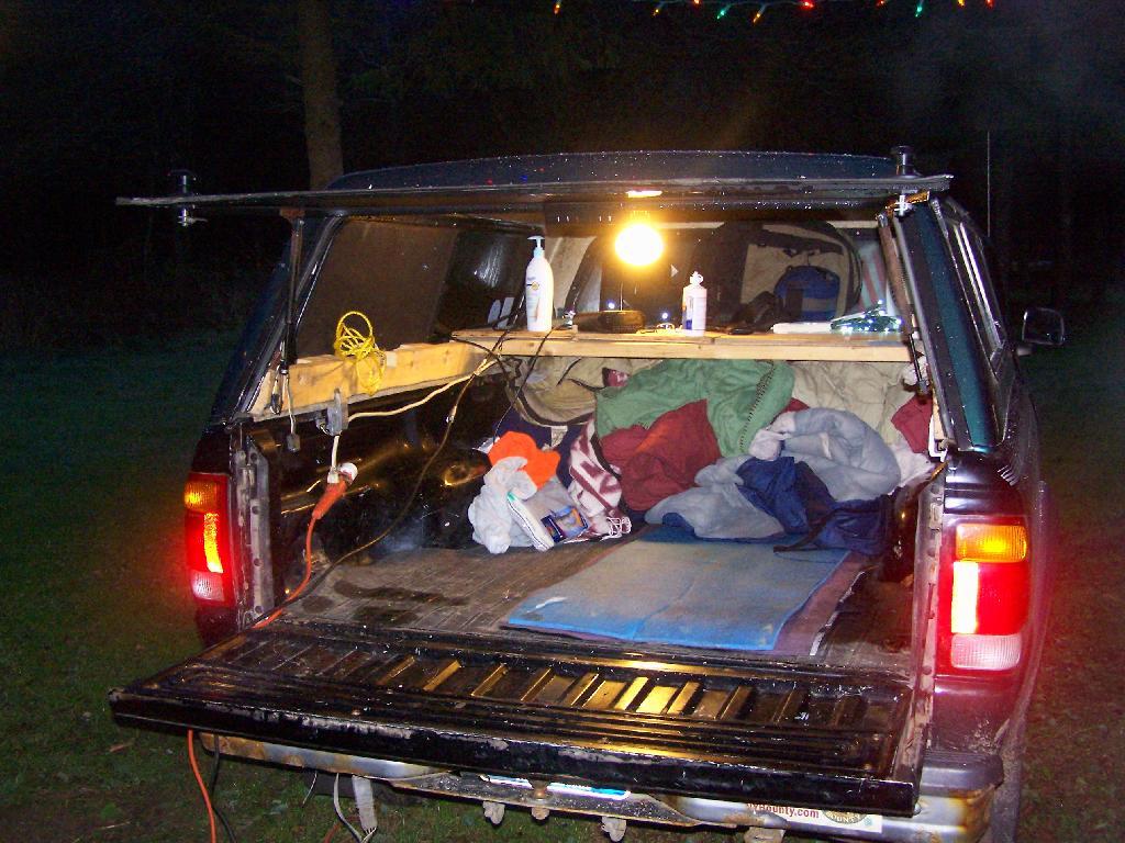
Lanterns are okay for camping in the back country. I however like being able to camp with electrical lighting and small electrical appliances when I am truck camping, as I have a ready source of energy — the truck’s battery. My current inverter (Vector 800-watt inverter) has voltage meter that displays how much power the truck’s battery is putting out, so as it gets lower, I simply just turn on the engine for 10-15 minutes to recharge the battery. At idle speed, especially in summer months, the truck uses minimal gasoline to recharge the battery.
In this picture, you can see the wires coming out of the cab, from the inverter, out to Christmas Lights, and to the regular old power strip I have in the bed of pickup, which provides places to plug in the lead lamps, the alarm clock, more Christmas Lights, and anything else that needs juice like my camera battery charger or even my laptop.
I use a set of 9-watt, 12-watt or 26-watt compact floresecent lamps in conventional lead lamps to light the campsite. I swap out light bulbs depending on my need for light, choosing smaller bulbs to conserve energy whenever possible. These compact lamps put out the equalivent of a 40-watt, 60-watt, or 100-watt conventional light bulb respectively.
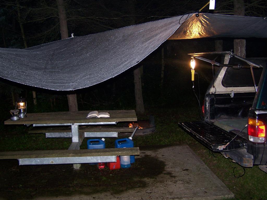
The light is largely flicker free, much brighter and higher quality then white-gas lanterns, and is superior for reading. I frequently read late into the night when I am out camping.
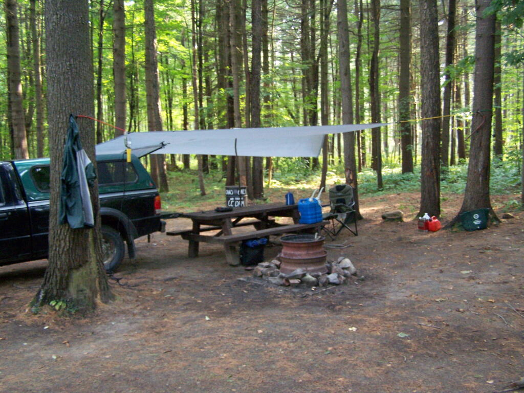
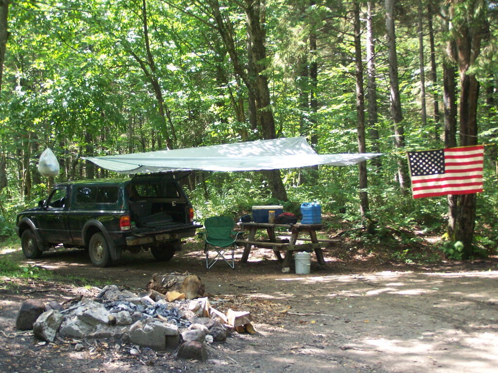
I originally bought this inexpensive tarp from Walmart for privacy while taking “showers” from my portable shower bag. I use it far more to keep the rain off my head on rainy days when camping. Usually it’s just attached to surrounding trees with bungee cords, other times I use a mixture of poles, trees, stakes, and occassionally the kayak.
In this picture, the tarp is held up entirely by trees and long bungee cords, when I was camping up at Moose River Plains down by the Otter Brook.
I frequently store one or more plastic tubs in the cab of my truck at night, usually with food and other things that I want to keep away from animals and don’t want back where I am sleeping.
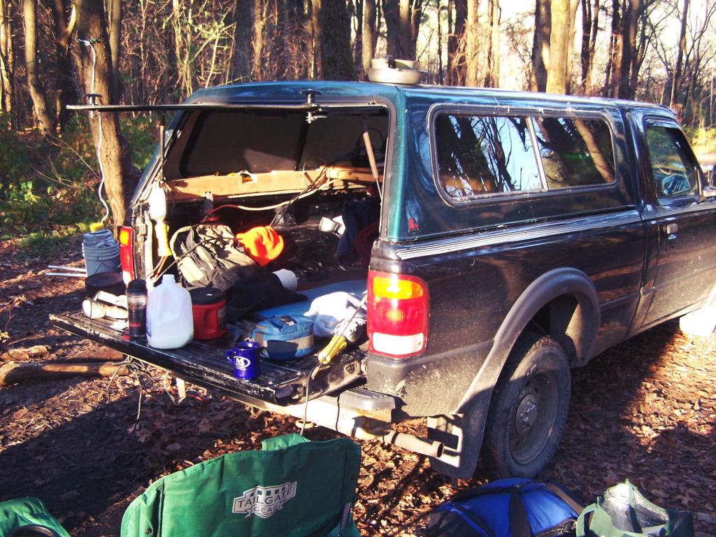
This picture shows some of the wires, camping gear, and box full of beer I had when I was camping up at the Allegheny National Forest.
Camping at Sugar Hill, with my wooden table in my pickup, a little bit before the un was up. I have a table lamp up there, and below the table is all the blankets I brought to stay warm this time of year.
Using my tailgate as a table as I have breakfast when I was camping up at Stoney Pond.
Camping up on Leonard Hill last summer. The beer is chilling on the bumper, and the campfire in the front, along with Christmas light.
Camping up at Allegenheny National Forest. Getting ready and packed up for the morning, burning off some trash before I head out for the day’s events.

The Winona Recreation Area, aka the Winona and Jefferson State Forests has a series of informal campsites throughout it’s miles and truck trails, that are also used by ATVs and snowmobiles based on the time of the year. Known for the large amount of snow the area gets, it’s one of the most vast state parcels in the Tug Hill Plateau.
In the past I’ve camped on an undesignated site with a firepit on Bargby Road. There are other sites around, but I don’t know the area that well, and the sites ar not listed online. You might consider contacting the local Forest Ranger about getting a permit and some other ideas.
Be careful driving around here, as many of the truck trails are very rough and muddy, and you will be sharing them with ATVs in the summer season. They are real fun if you want to get some mud on your pickup truck. It’s by far one of the best places to find rough and muddy state truck trails in NY State, and tons of snow in the winter. I camped there in April 2004 (no snow), but it was cold. — Andy
“Over the past years, many different groups have enjoyed the use of these trails, but this has made for some difficulty in how to designate which trails would be used and for what purpose. The Western Edge Recreational Association was developed around 1995 to bring together all the users: skiers, snowmobilers, dog sledders, horse owners, hunters, bikers, and orienteering people.”
“With the melding of ideas, resources and manpower, Winona State Forest has become one of New York State’s best venues for recreation, and at the same time, provides valuable timber resources.”
“In 2005, DEC began developing a unit management plan (UMP) for Winona State Forest. A UMP must be completed before significant new recreational facilities, such as trails, camping sites, and parking areas can be constructed. The plans involve an extensive analysis of the natural features of an area and the ability of the land to accommodate public use. The DEC has primary responsibility for developing management plans for the State-owned lands. Draft plans are widely distributed for public comment and review prior to being finalized by DEC.”
— NYSDEC Winona State Forest.
“The Winona Forest Recreation Association (WFRA) maintains approximately 70 miles of trails in the Winona Forest and Jefferson County Forest Preserve. Both are located in the Tug Hill region of New York State. WFRA, which began as the Tug Hill Ski Club, has reorganized as the Winona Forest Recreation Association in order to include all user groups of the forest. WFRA membership consists of skiers, snowmobilers, atv riders, equestrians, mushers,snowshoers, bikers, hikers and many other outdoor sports enthusiasts. We’re not just an ordinary club!
“Winona Forest is one of the snowiest places east of the Rockies with an average snow fall of 250 inches per year! In winter, the prevailing westerly winds move cold winter air over the warm water of Lake Ontario producing massive lake effect snow falls on the Winona Forest in the Tug Hill area.”
Barby Road 2
Tucker Road 1