camping

Reasons I Like Camping

  1. No Real Rules except for Respect of Natural World.
  2. No Schedule except the Fall of Darkness Over the Land.
  3. Get to Visit Interesting Places; Explore New Lands.

Camping in the Morning

  1. Get to Play with Fire, Sit and Watch the Campfire.
  2. Get to Burn All Your Camp Trash with Plastic Burning and Melting in the Fire.
  3. Cooking Delious Meals Over the Fire or In Dutch Oven.

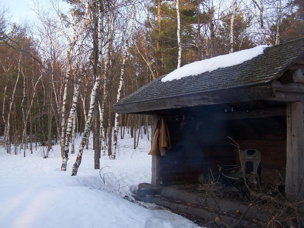
Smoke and Heat Rises Into Lean-To

  1. Beautiful Moonlit and Starlit Nights in the Woods.
  2. Drinking beer and smoking cigerettes and watching the fire burn.
  3. No Time to Get Up in the Morning.

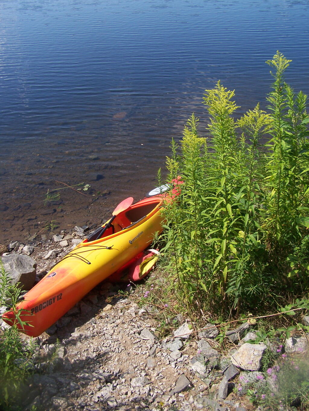
Kayak Parked

  1. Peace and quiet or music as one sees fit.
  2. Having time to read and get away from all of it.
  3. A big change in the routine.

Camping in the Allegheny National Forest

Last fall I spent two days camping in the Allegany National Forest, which is south of Salamaca, NY and west of Bradford, PA. Two days in mid-November provided a limited time to explore the area, in part due to the short days between sunrise and sunset, requiring me to back to camp no later then about 3:30 PM in the afternoon to gather wood and prepare for the coming sunset at 5 PM.

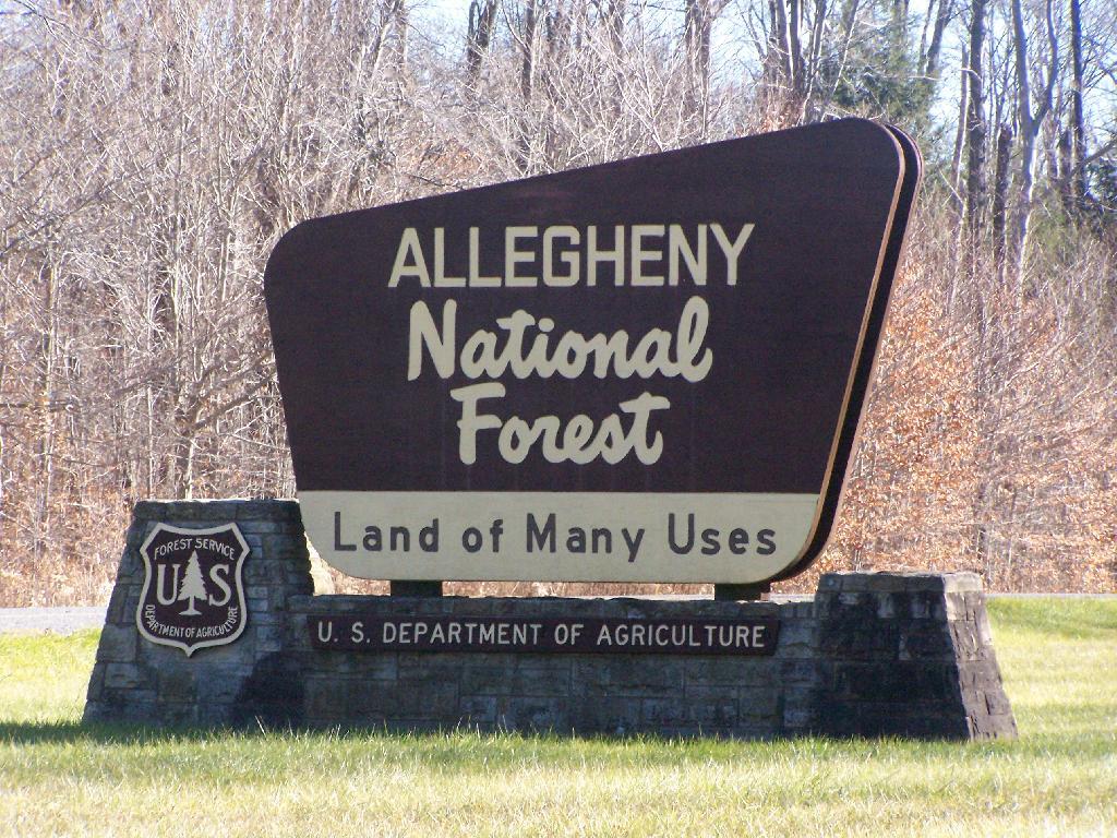
Allegany National Forest Sign

Throughout the Allegenheny National Forest there are many truck trails that pass oil and gas wells, provide access to timber stands used for logging, and also access to hunters, fishermen, hikers, and camping. Most of the forest is not mature stands of trees, and indeed the whole area has a very working-forest nature to it, by no means is it wilderness.

Thined Out Area in National Forest

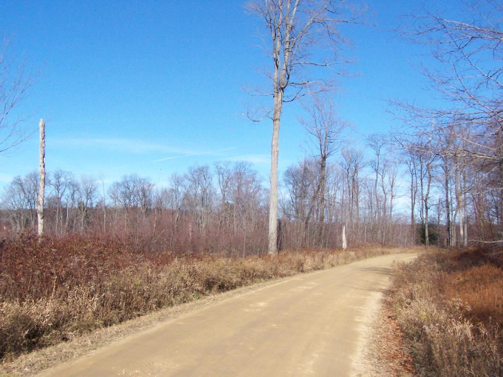
Camping is allowed along all of the dirt roads except for roads specifically designated scenic byways. It is strongly discouraged by that vehicle travel off the roads any further then neccessary to prevent erosion. Dotted along the roads are places where people have camped in the past, in fields and other desirable places. Campsites are very primative, and have only rock fire places left by previous users.

Owls Head Firetower

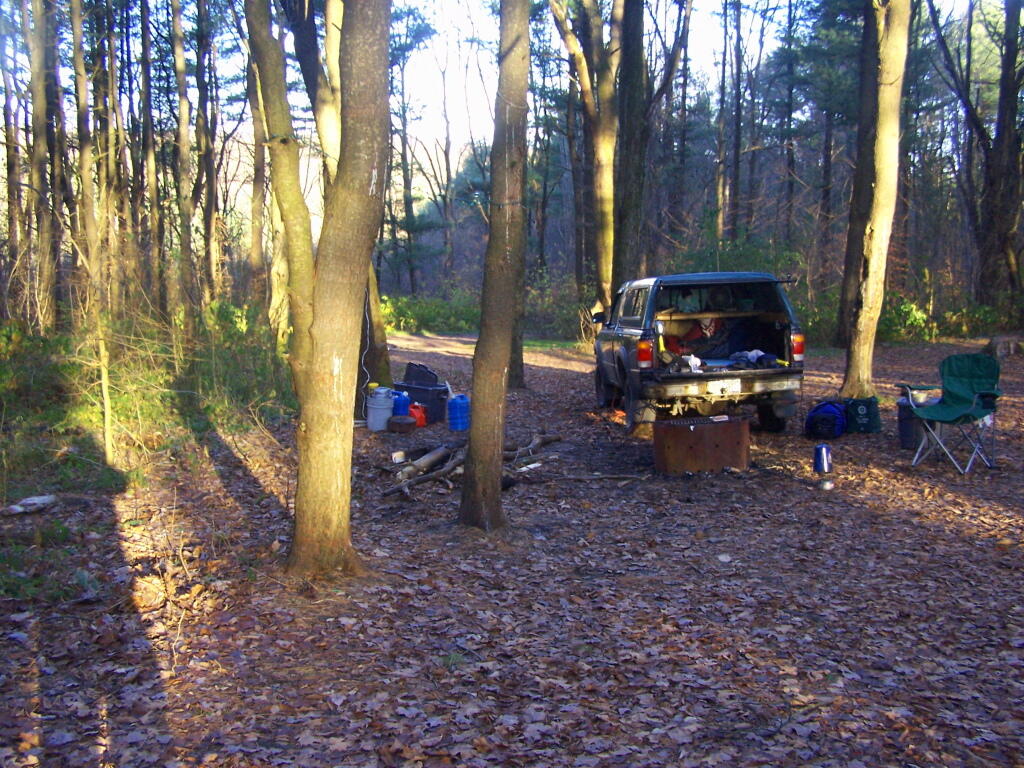
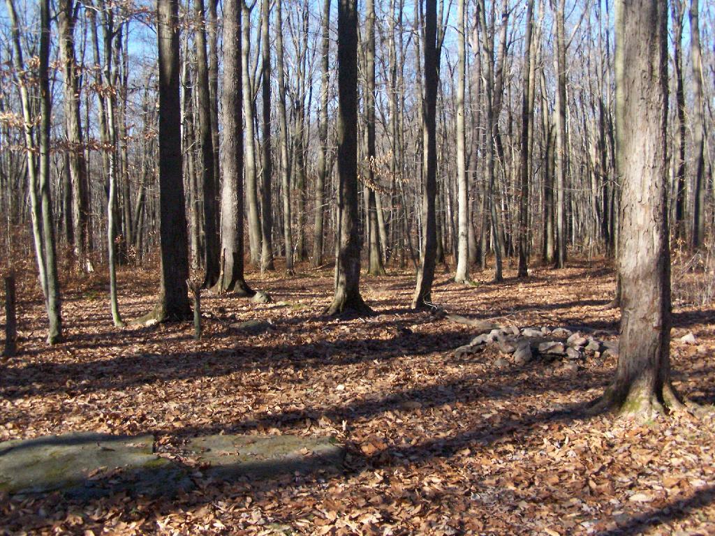
I camped off of Forest Service Road 154, quite a ways above the Allegeheny Reservior. It was a decent little site, pretty far back, and nice and hard, so I need not worry about sinking into the ground. I also felt wildfire danger was lower this time of year, as there was not the dry grass here, and the leaves where damp from dew.

Campsite I Stayed At

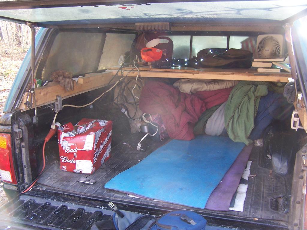
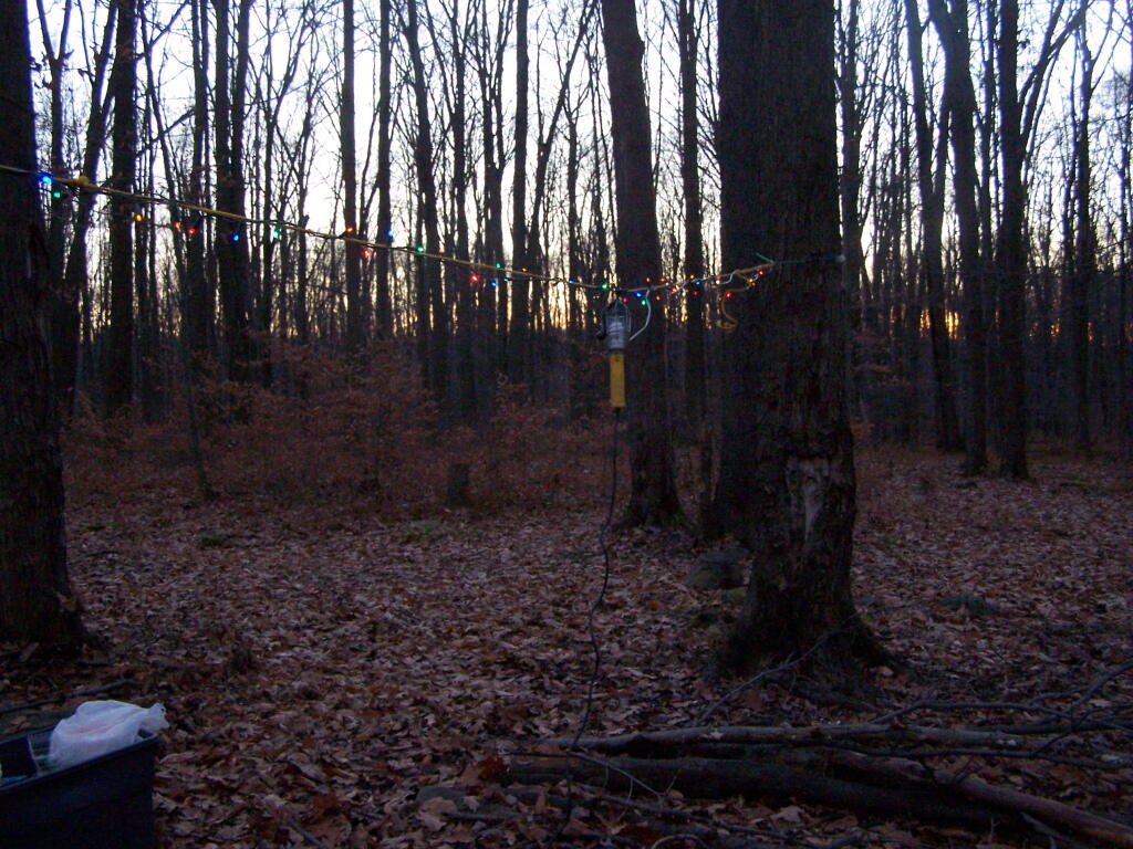
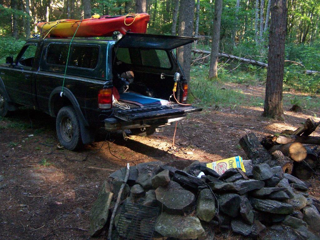
I strung a line out to hang up the Christmas lights I used for ambiance and background lighting at night, and built a campfire in the firepit. I was moving stuff between the cab and the back of the truck when I took this picture.

Oil Heating in NY State

Inside my camping rig when I was camping up there.

Packing Up the Gear

In the evening, watching the sun set, a little after 5 pm…

Sunset at the Campsite

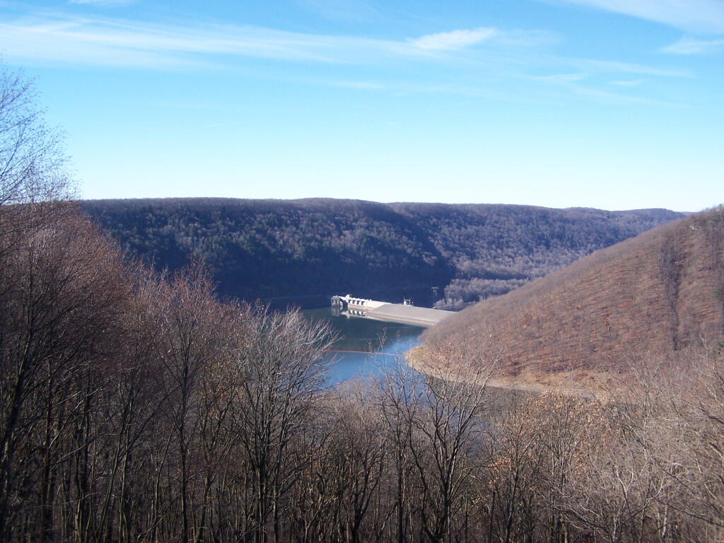
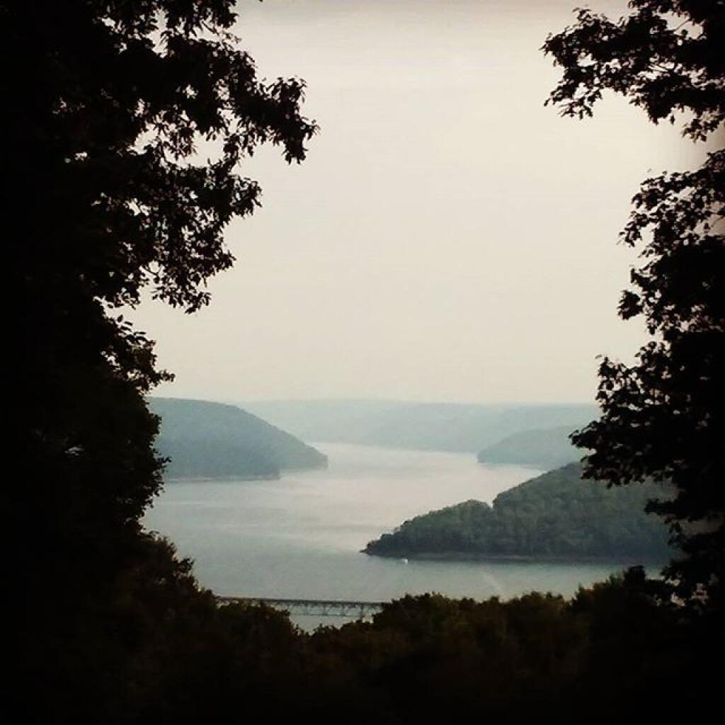
There are many things to see at Allegheny National Forest (all free) from the Rim Rock to views from Jakes Rocks to the views of Reservior. There probably was much more I could have seen had I spent more time camping up there.

Reservoir Dam

What people crash into on icy and snowy roads

Sugar Bay 4

… I hope you enjoyed this brief look back from my experiences camping up at the Allegheny National Forest in November 2010.

Camping at Stoney Pond

Stoney Pond State Forest is located in the highlands between Morrisonville and Cazenovia, and includes a camping area that requires a free permit in the summer. I camped there on November 7, 2010 on a very cold morning.

Sunrise

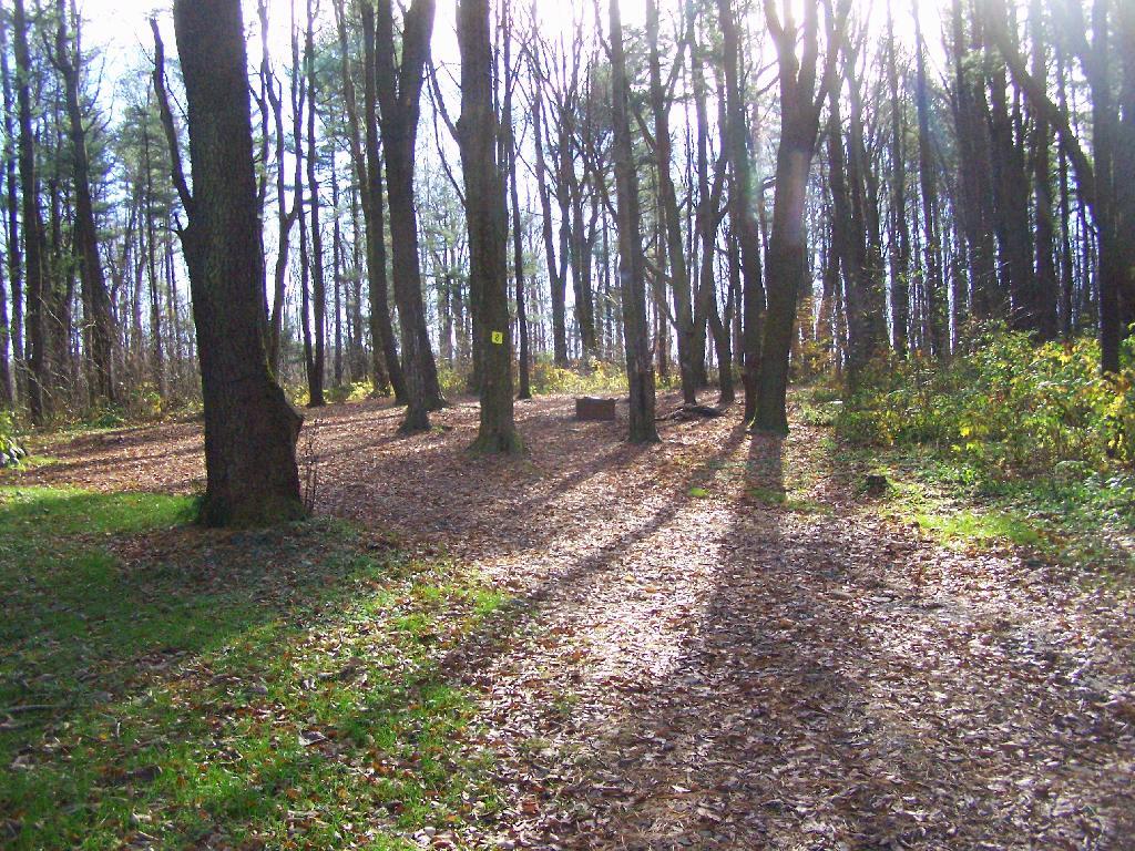
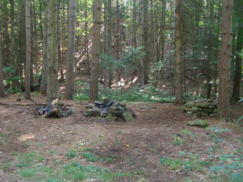
Waking up truck camping in November meant morning came real early, especially because I had to get going with night approaching fast. This was campsite number eight under the morning light. All of the campsites at Stoney Pond had these great round fire rings.

Camping in the Morning

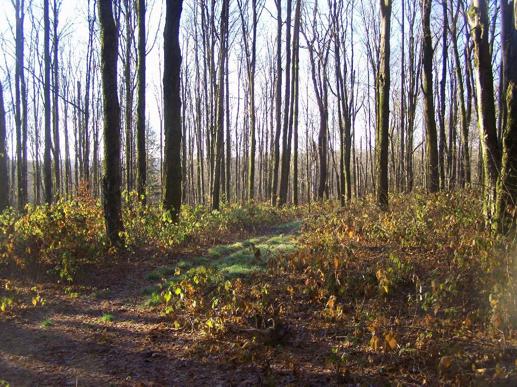
Walking Through The Woods. There isn’t much in the way of leaves on the trees right now.

Percent of Population that Works in Construction

Frost on the Leaves.

Frost on the Leaves

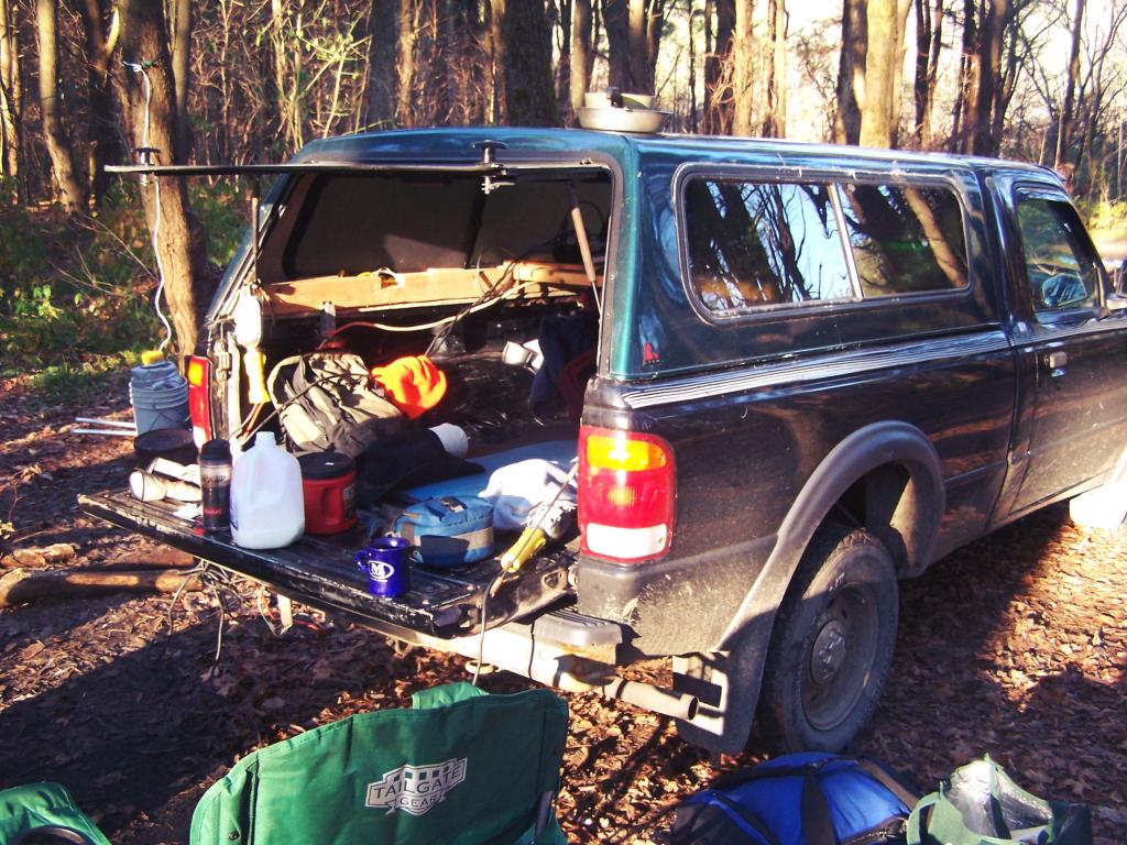
Truck Camping. In the morning, having my cup of coffee and getting ready to face the day’s adventures. I need to get a table, so I don’t have so much clutter on my tailgate β€” there are no picnic tables at Stoney Pond.

Truck Camping

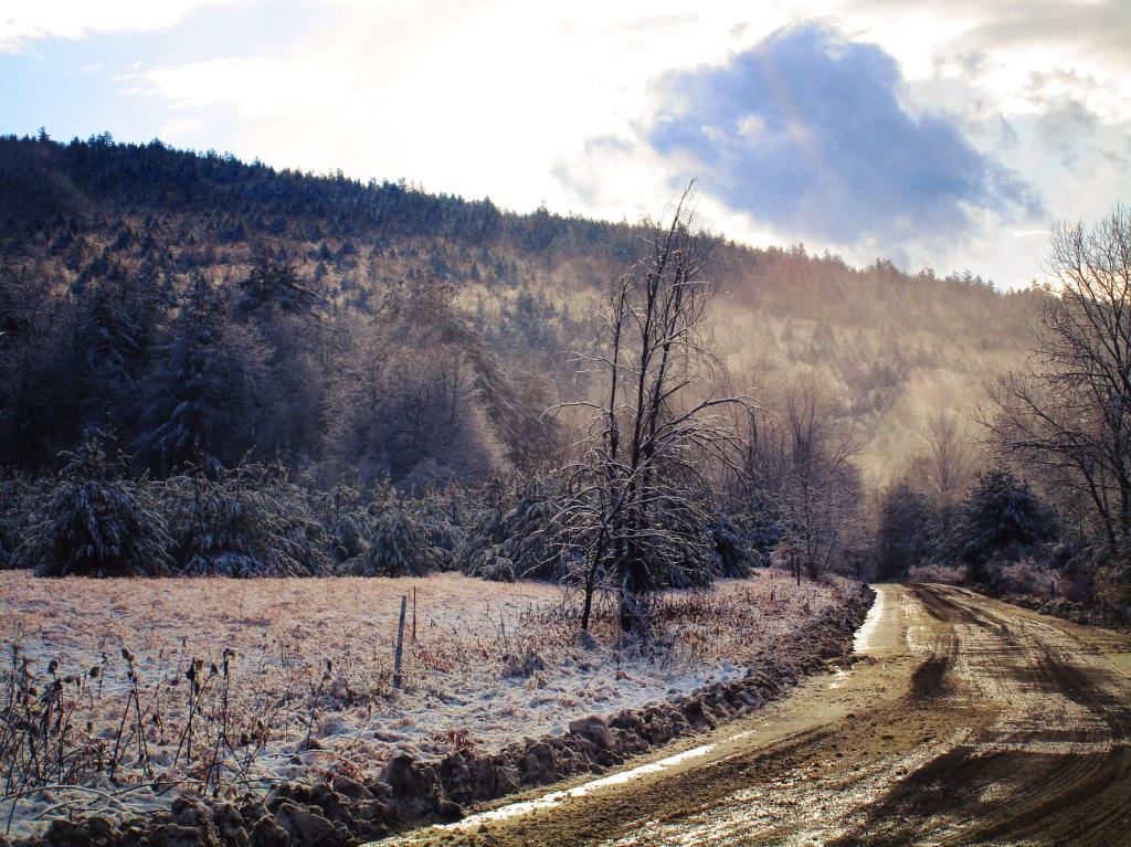
Icy Ruts. It was that cold in the morning that muddy ruts up there iced up.

Frosty Morning

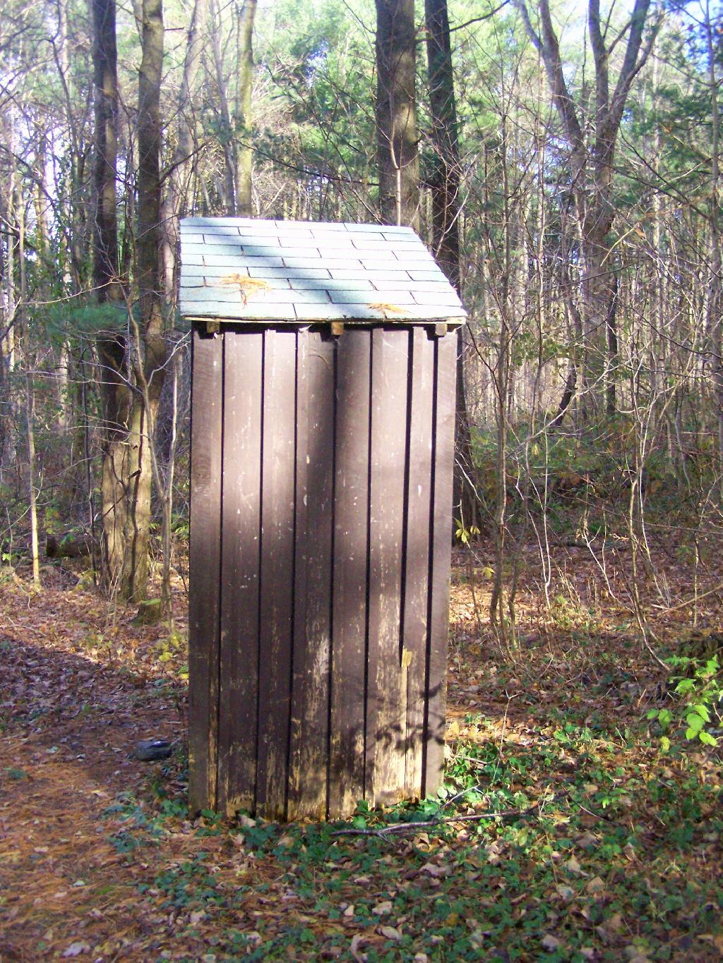
Outhouse. In the summer months they also have port-a-poties down by other campsites.

Outhouse

Campsite 8. This is where I camped at, as seen from the road. I liked this site a lot because it was well set back.

Campsite 8

Campsite 4. Another really nice campsite, although a bit closely spaced.

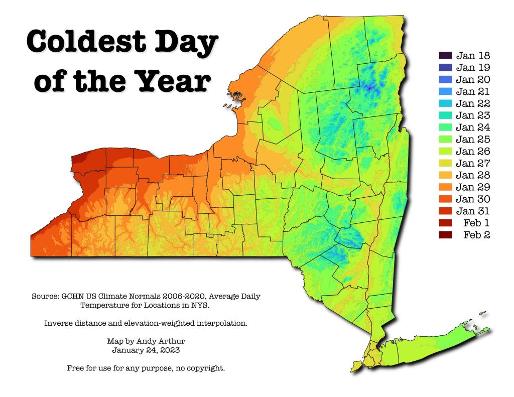
Coldest Day of the Year in NY State

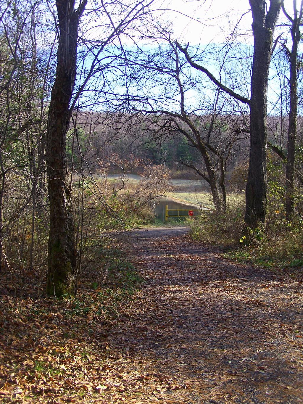
Path Down to Stoney Pond. There is a road that goes down to Stoney Pond for those wanting to launch a boat into it.

Path Down to Stoney Pond

Stoney Pond. On on side, there is a sandy beach/boat launch.

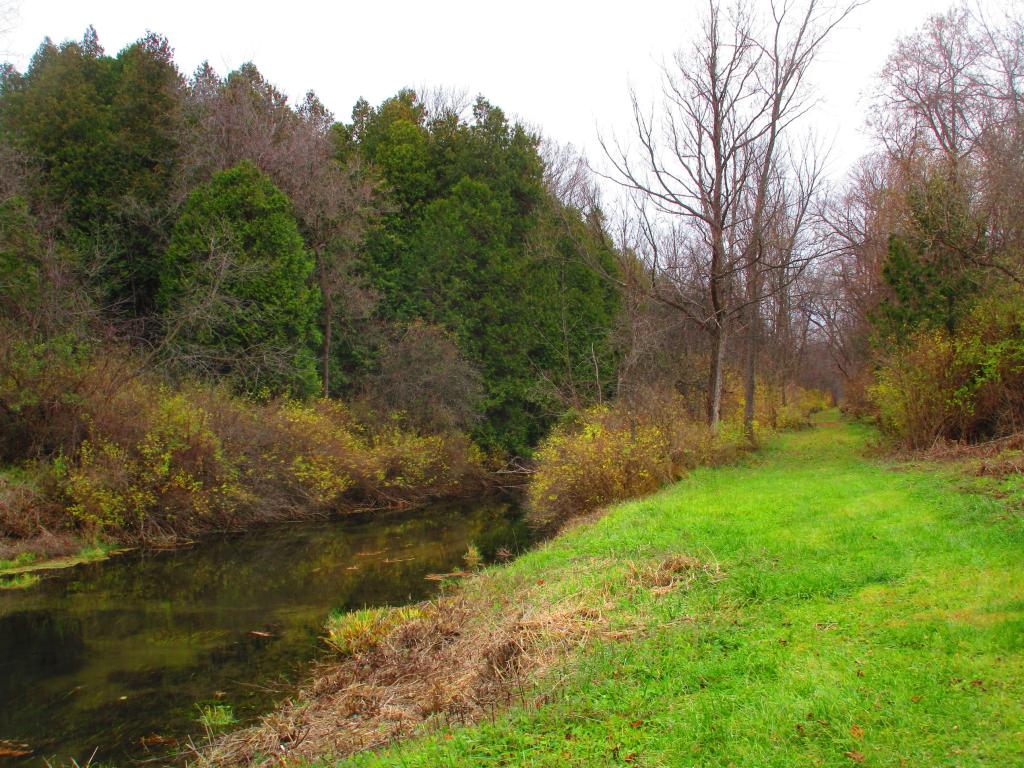
Riding along the Old Chenango Canal

Campground Roads. There is no charge to camp here, although they want you to call the forest ranger for a free permit in the summer to control usage.

Campground Roads

Campsite 1. Not a very nice campsite, but I guess if you want a drive to place where you can camp, and other 15 sites are full, it can be used.

Icy River Road

Maps.

Here is a map of the Stoney Pond Camping Area.

Riding along the Old Chenango Canal

Here is the State Forest Map.

Stoney Pond

Arterial photo of the area.

Late Fall Camping at Sugar Hill

On my way down to Pennsylvania and on my way back to Albany, I spent a two nights camping out at Sugar Hill State Forest, lower Assembly area. While the area is primarily designed for equestrians, it does offer a person who seeks drive-in camping without a permit in Finger Lakes Region a place to stay.

On the Sunday night driving down to Pennsylvania, there was nobody else around but a bow hunter I saw in the morning. On Friday night, there where a lot of horse owners, because the Upper Assembly-area was closed for the winter. I drove around, hoping to visit the fire tower a top the Assembly area. Unfortunately, it was closed for the year. I did get some interesting shots from Tower Hill Road, heading up there, looking down at Seneca Lake.
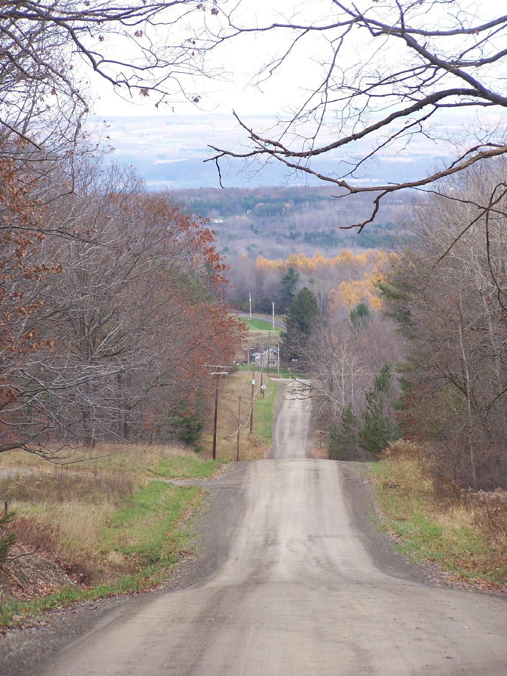
Tower Hill Road

On the other side of the ridge from Tower Hill Road, you can see Keuka Lake. It looks a lot different this time of year then in other times of year. I do wish I could have seen it from the fire tower, although I guess the fire tower has limited views due to trees growing up. I could have hiked up to the tower, but it’s a ways back, with the road gated off.
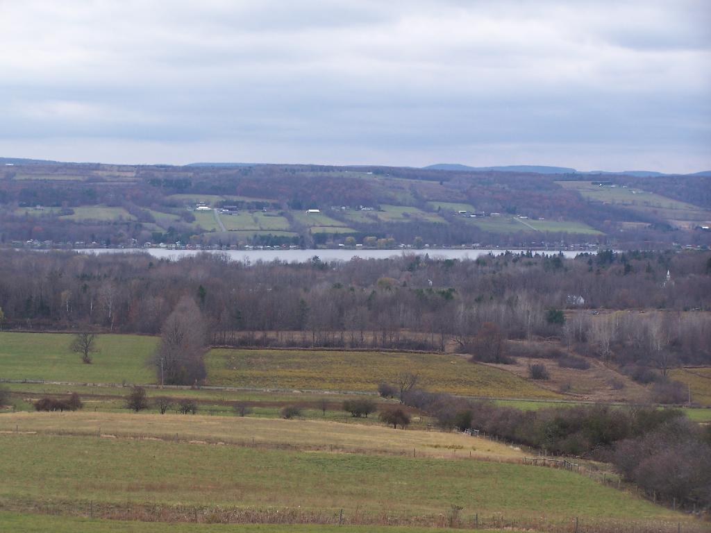
Valley

Next I drove down to Birdseye Hollow State Forest / Sanford Lake. Got lost. I know this time of year you don’t need camping permits for it, but it looked it was only tent sites. Things where pretty grown up, and it was getting late. I ended up driving back up the hill, to Sugar Hill, and settling in at the Lower Assembly area. On Sunday night, all the horse campers had packed up and gone back home.

I proceeded to make baked zita in the dutch oven, over a warm open fire. Somebody had left firewood from the previous weekend, and there was ample dead and down wood nearby in the forest, so I really nice warm fire.
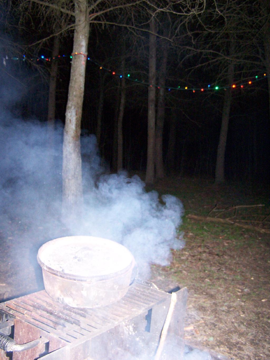
Cooking Dinner

I like the campsites down at Sugar Hill, although I wish they offered more privacy. Yet, I guess that’s not how Assembly areas work at horse camps. That said, on a Sunday evening, there was nobody else around. It was a bit more crowded the following Friday, for my return trip. It was a nice night, and great meal.
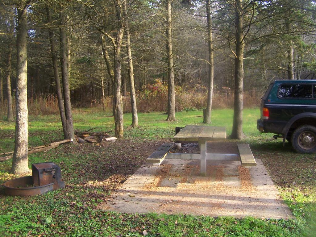
Campsite

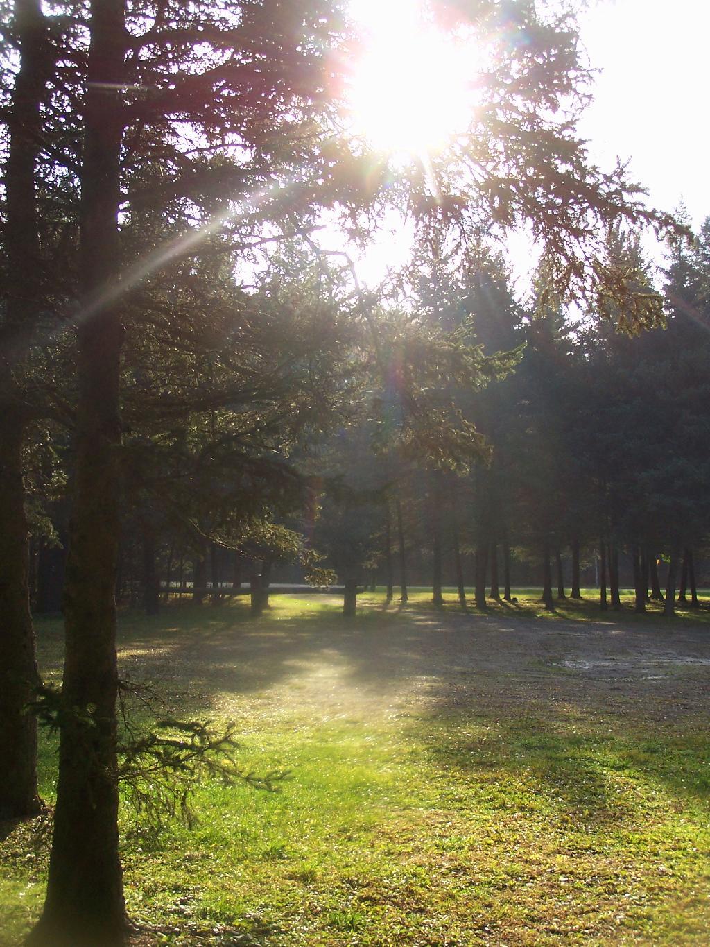
Morning unfortunately came early, with the change of day light savings time, and it was dark when I set my alarm clock for 6:30 AM. Yet I knew I had a big day ahead, driving down to Pennsylvania, so I was before dawn. But eventually the sun rose over the pines of the Lower Assembly day, and it was a beautiful morning.
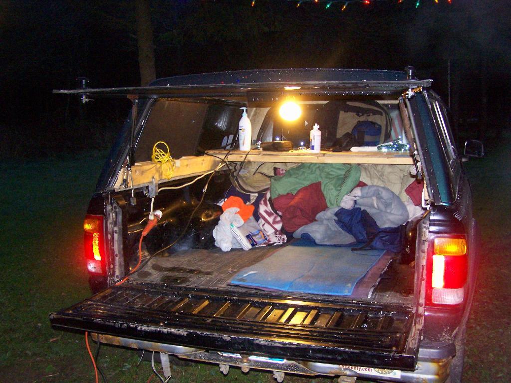
Camping Set Up

Sunrise

I packed up my gear, headed across a muddy truck trail to get packed up, took kind of a bath using a tea-kettle with hot water, and I was on my way to Pennsylvania. The camera lens kind of was fogged up from the cold.

Old Canal Warehouse in Chittenango  [Expires November 19 2023]

Campsite

The drive to Pennsylvania was spectular, especially just South of Sugar Hill in Coon Hollow (really a wide valley), with beautiful farms lining the road, and tall mountains surrounding it.
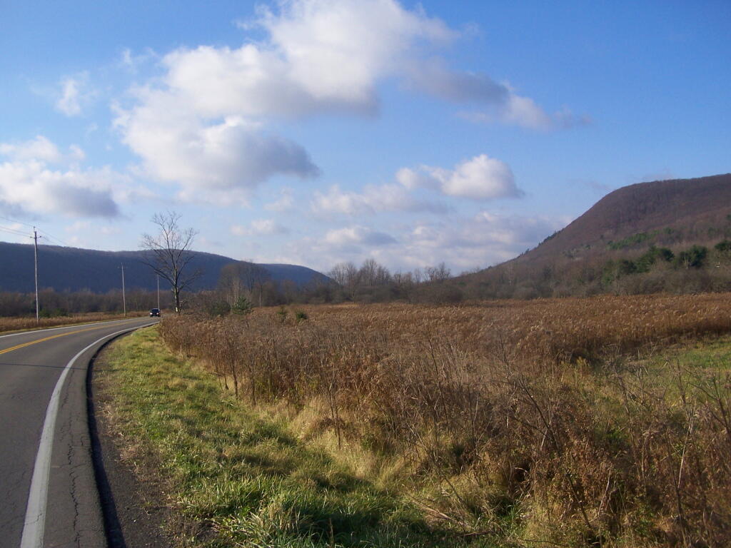
Coon Hollow

As a side note, I also stayed here on Friday, November 12. There where a lot of equestrians that where using the area by around 9 PM, with lots of horse trailers. Many came late. This Lower Assembly area doesn’t get much use in the summer, compared to the Upper Assembly area, but this time of year with the Upper Assembly area closed, many where down here for the weekend. Weekdays, you’ll probably be alone camping here — especially in the winter.

Here is a map of Sugar Hill.
Love this view of Cornplanter Bridge

Mallet Pond State Forest, Aug 29

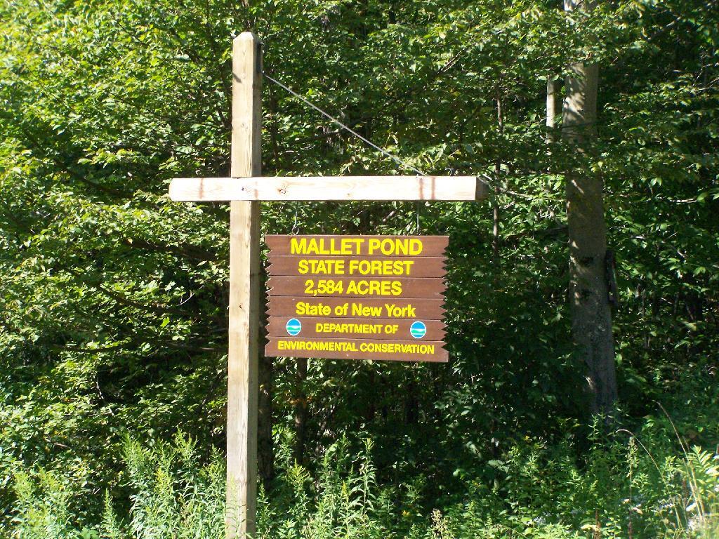
Mallet Pond State Forest is a smaller state forest (2,584 acres) across the valley from the Burnt-Rossman Hills. While smaller, it is still rugged and remote, with rough dirt roads, two ponds, camping sites, and public lands to explore. Many of the roads around it are poorly marked and heavily posted, however if you follow the below map, and drive up to Summit on NY 10, and take Sawyer Hollow Road to Rossman Fly Road, it’s not as bad to locate.

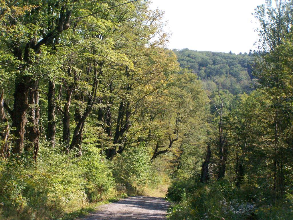
 Brown Road

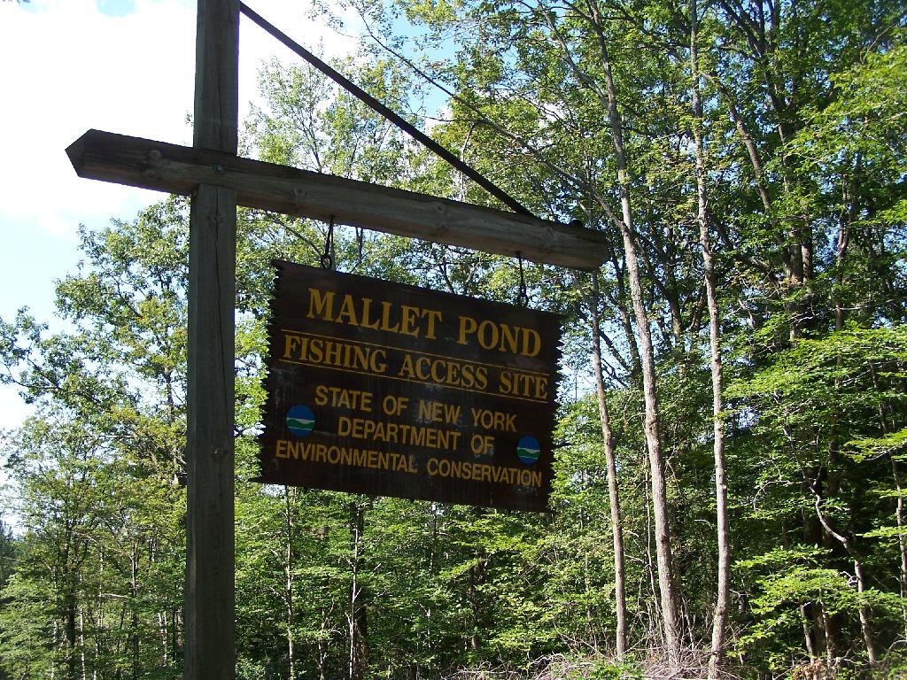
Mallet Pond State Forest Sign

Rossman Fly Road. This is from the intersection, as it head down into the valley where Rossman Pond and Mallet Pond are located.

Rossman Fly Road

Rossman Pond. There are a series of hunting campings and private houses located along the other shore. The state only owns about 1000 feet of frontage along the lake, basically enough for a campsite and a parking area.

Rossman Pond

Campsite at Rossman Pond. This is one of the many informal campsites in the area. None of them have designated markers, and don’t comply with state set backs, but as witnessed by the wear and tear on the grass, and mention in the Unit Management Plan, they are well used and recognized as such.

Campsite at Rossman Pond

I drove down to Mallet Pond Parking Area. Unlike Rossman Pond, Mallet Pond actually has a sign showing where it is. There are no other signs for Mallet Pond from here on down, but the road is easy to follow to the pond.

Mallet Pond Sign

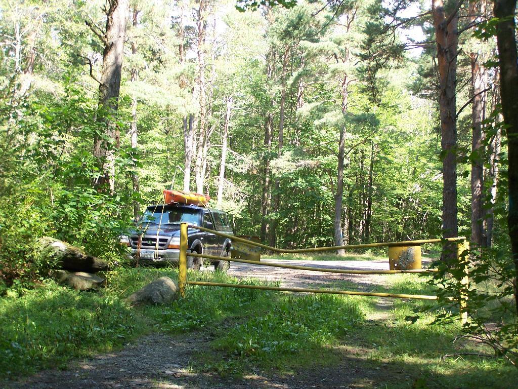
Gate at Mallet Pond. There is a gate 1/2 mile from Mallet Pond. Normally I don’t like gates and keeping the public from driving down to their lands, but Mallet Pond is kind of nice being so remote for camping, fishing, or wild life observation. Rossman Pond, which you can drive right up to, has no such gate.

Parking Area

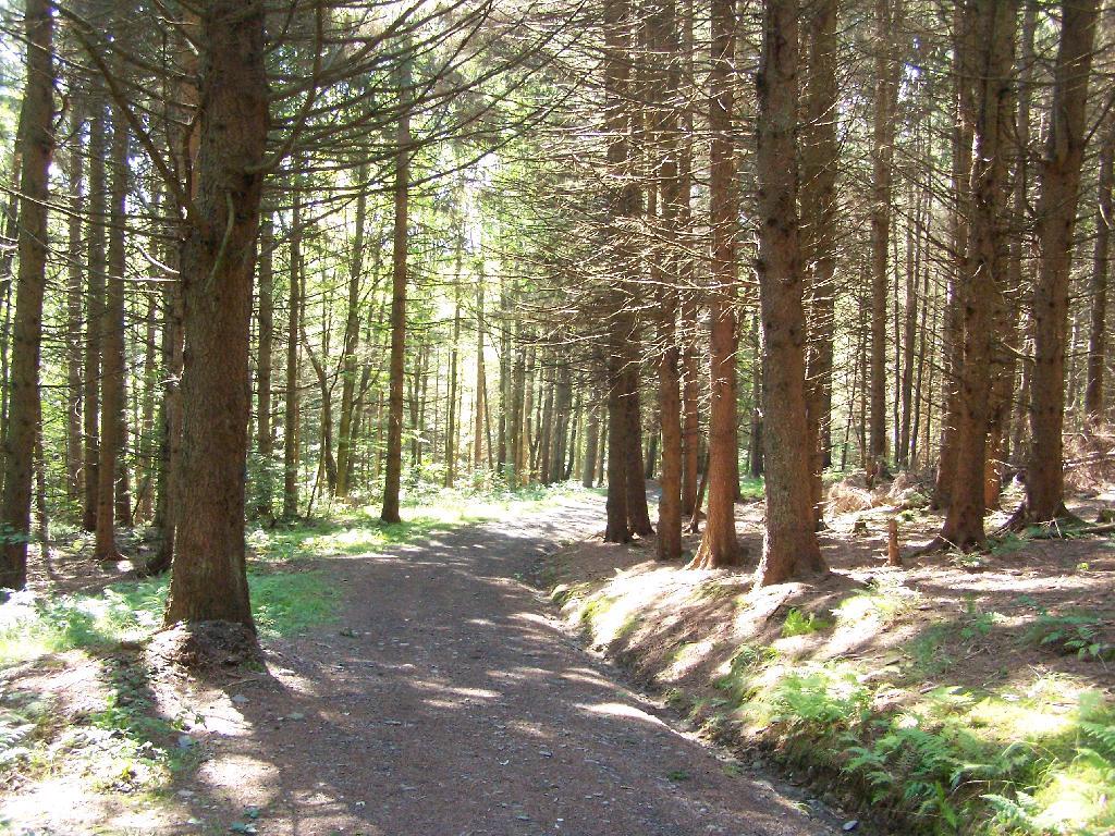
Path Down to Mallet Pond. It’s handicap accessible and if their wasn’t the gate, you could drive all the way down to the pond.

Path Down to Mallet Pond

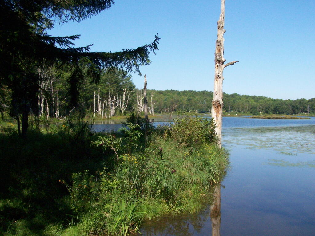
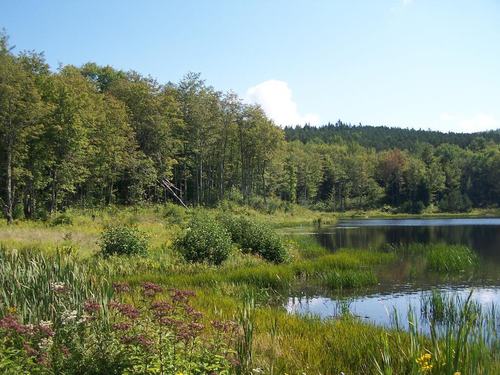
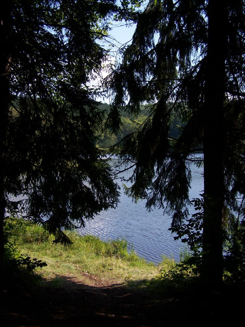
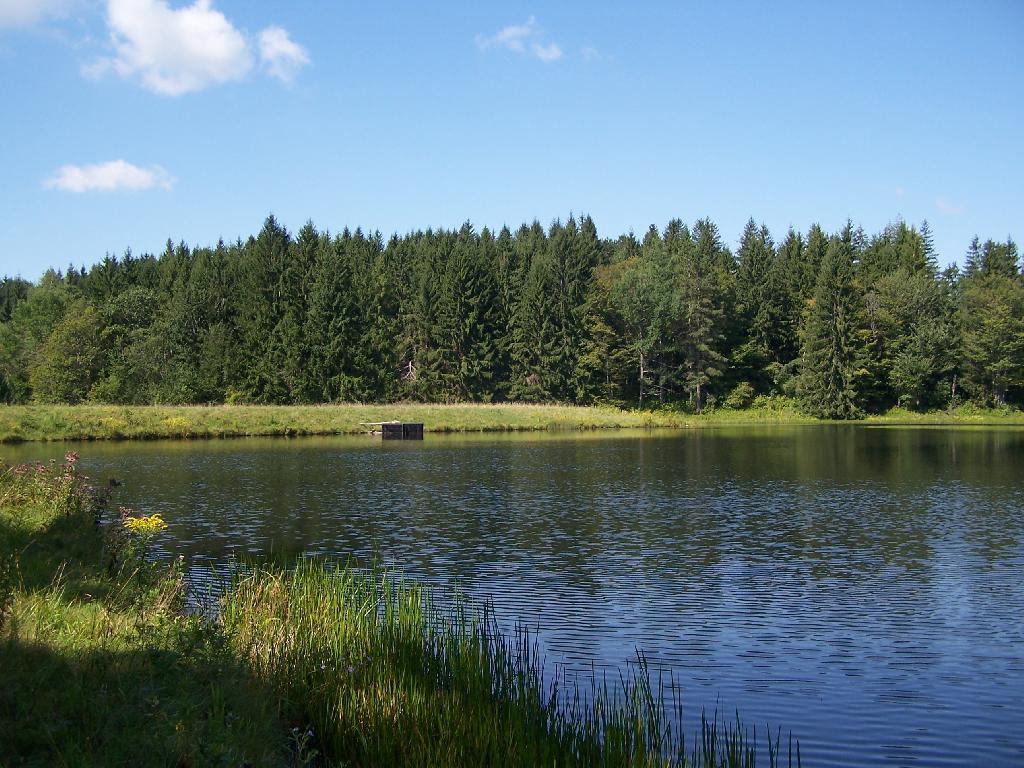
Mallet Pond. It certainly is a beautiful little pristine pond, a ways off the beaten track.

Mallet Pond

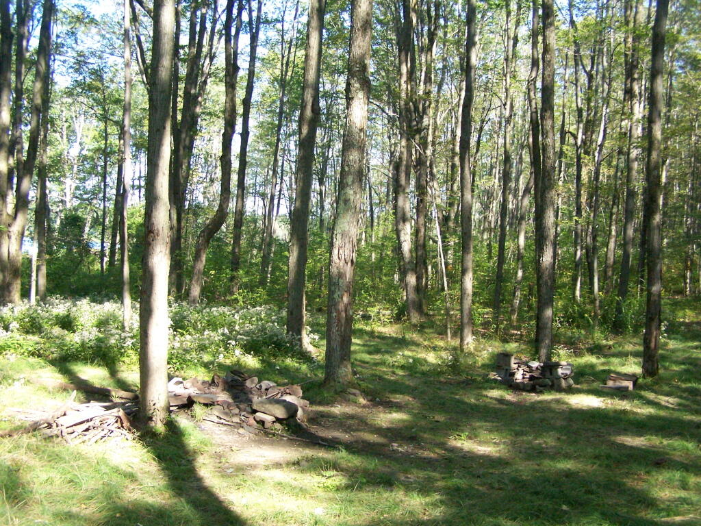
Campsite. For being the “party” lake for SUNY Cobelskill students, it was remarkably clean and well upkept. Maybe those farm kids actually take care of the land. Actually, most of the lands around here are well upkept, in part thanks to Ranger Tom Edmons too.

Campsite at Rossman Pond

Pond from Campsite. It certainly was a pretty little campsite up on the bank.

Pond from Campsite

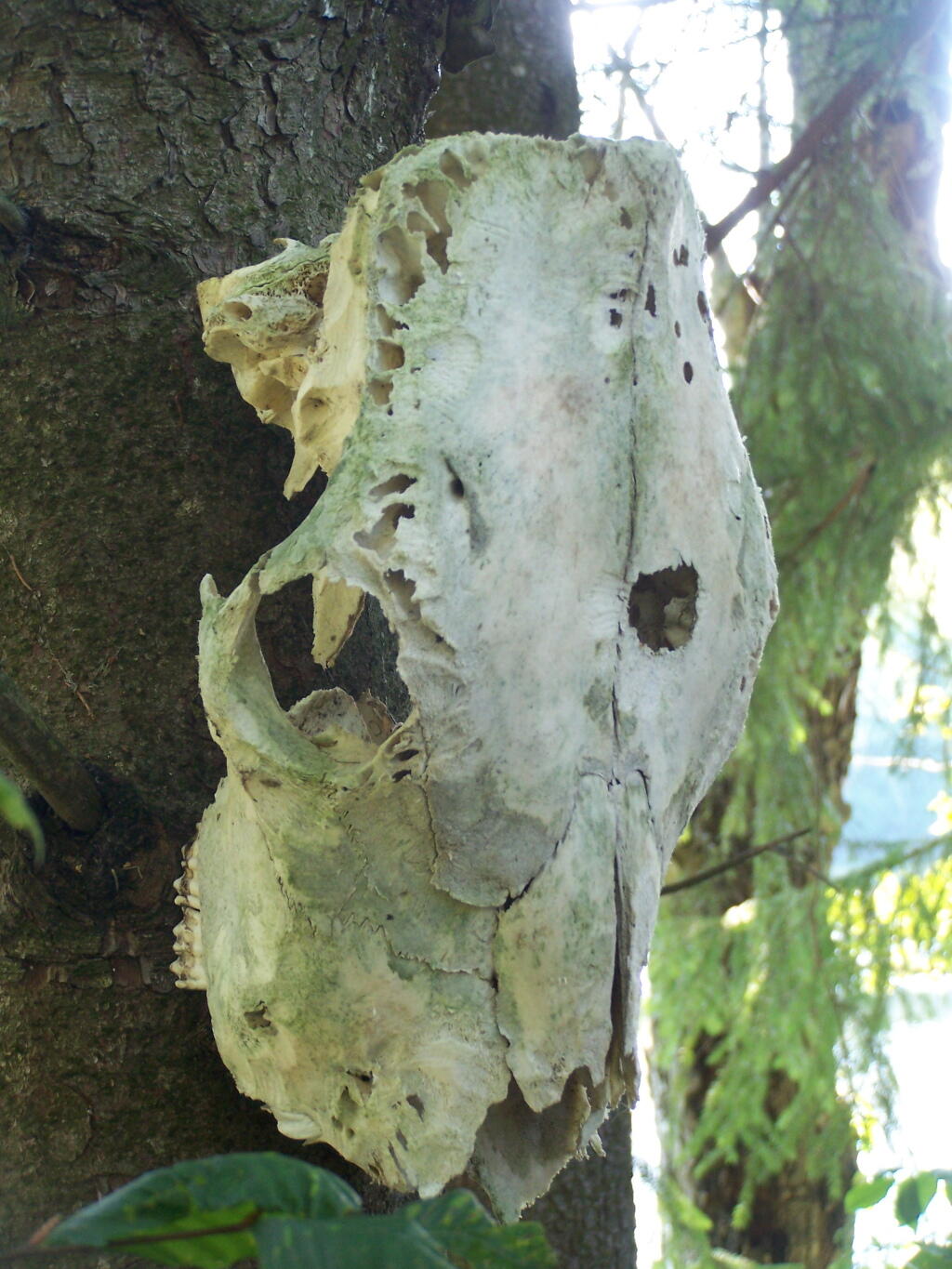
Cattle Skull. This cattle skull was hung up at the campsite on a tree. Cool! It appears to be from a dehorned cow, and the lower jaw is missing. I’m guessing it was brought on up by a SUNY Cobelskill Ag Student.

Cattle Skull

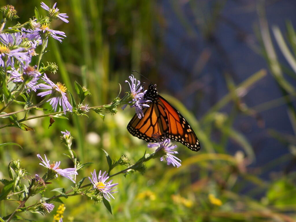
Butterfly. Pollinating a wildflower along Mallet Pond.

 Butterfly

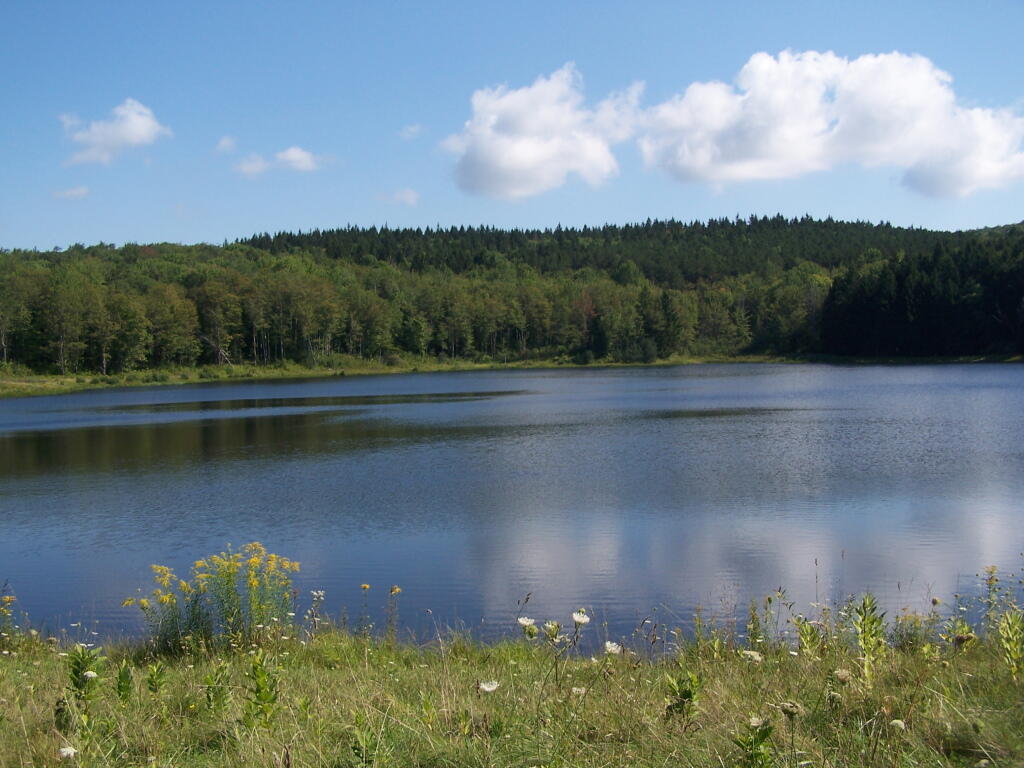
Mallet Pond. Standing up on the embankment of the dam.

Mallet Pond

Mallet Pond Dam. The earthen dam that makes up Mallet Pond is about 30 feet high. You wouldn’t know it unless you look at it from a top the dam.

Mallet Pond Dam

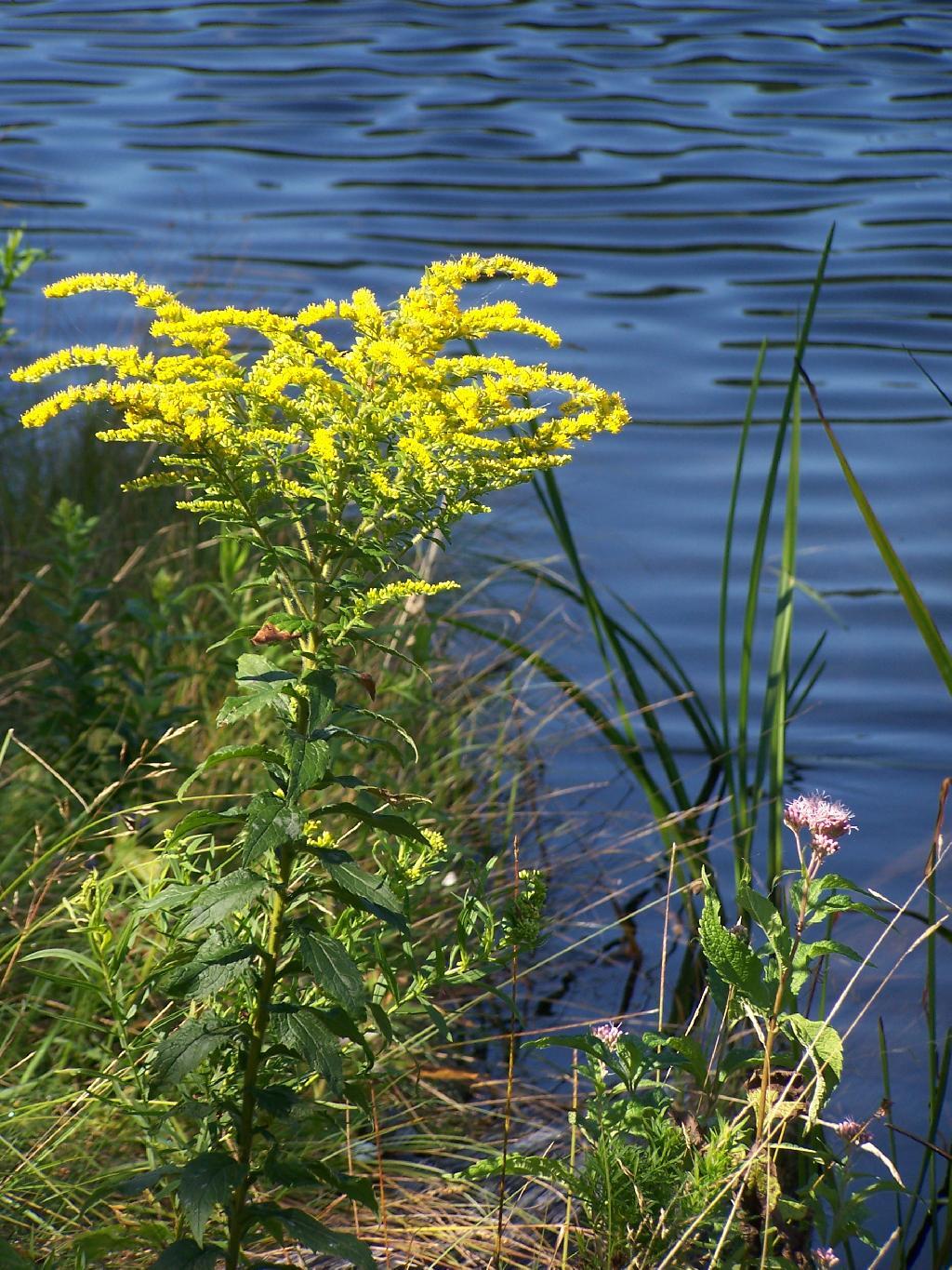
Goldrod. Walking along the eastern side of Mallet Pond.

Goldrod

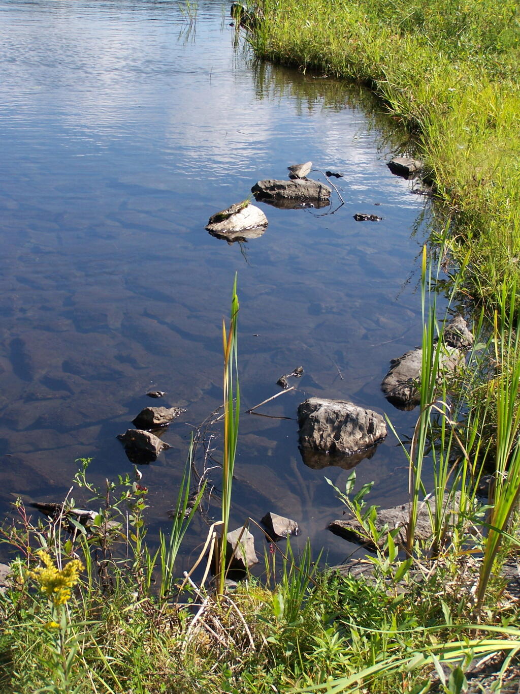
Edge of Mallet Pond’s embankment is made up these large flat shale rocks, and lined with them to discourage erosion over it’s massive earthern dam.

Edge

The upper pond is Rossman Pond, with the campsite right by the parking area. The lower pond is Mallet Pond, which you have to hike down to. Both ponds have undesignated but popular campsites.


View Mallet Pond in a larger map

Camping at Big Pond

Big Pond is one of the two larger ponds in the Catskills accessible to the public. Located in the Western Catskills, near Alder Pond, it has eight paddle in or hike in tent sites, and some pretty views. I spent the night camping up there on August 27.

Night is Creeping Up on Me. I didn’t realize how quickly it got late at Big Pond, and I had even started dinner. To make matters worst, my white-gas lantern wouldn’t start, so I had to do everything by flash light.

Night is Creeping Up on Me

Dark Night Before the Moonrose. All you can see is by the light of the campfire. I didn’t have a lantern, because it refused to start.

drought-status-ny [Expires September 1 2023]

Waking Up at Big Pond. Looking out the window of tent prior to dawn, with a little smoke from the fire still smoldering, and lots of fog.

Waking Up at Big Pond

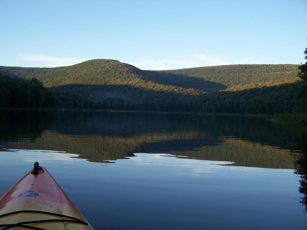
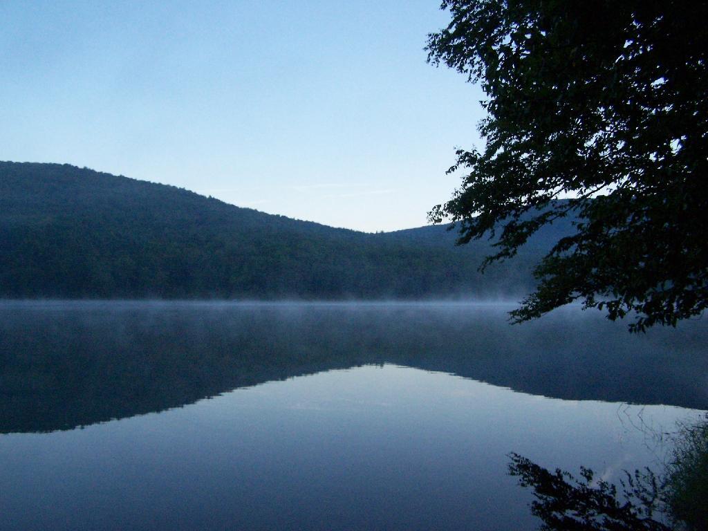
Pond Prior to Sunrise. The fog rises above the pond. It looks perfect for taking photos, so I decide to hop in the kayak, and go for a paddle.

Pond Prior to Sunrise

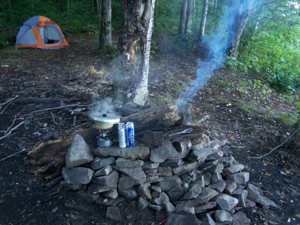
Campsite. Yes, the beer cans are empty, and I am using that pot to boil water for coffee, because I left the coffee pot in the truck. I doesn’t matter much because I use a coffee press to make the actual coffee.

Campsite

Firepit. This is while I’m making coffee and getting ready for the day.

Firepit

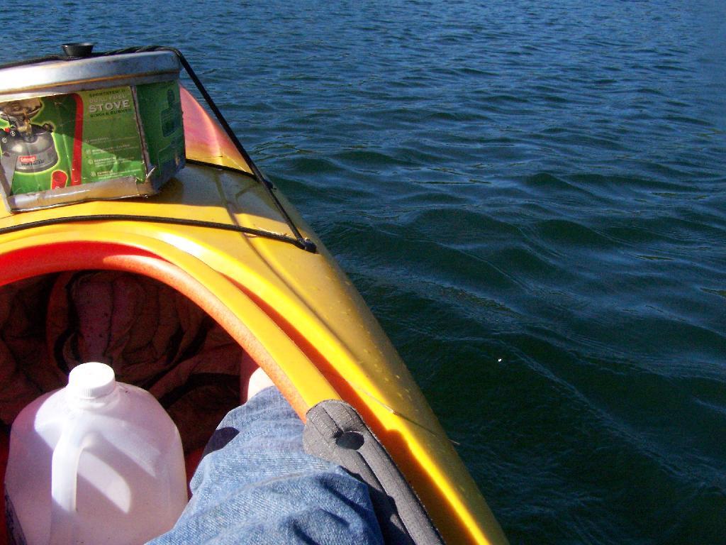
Paddling Gear Back. With all the camping gear in the kayak, or most of it, including the stove and pot top on the deck. The kayak rode well with all the gear.

Paddling Gear Back

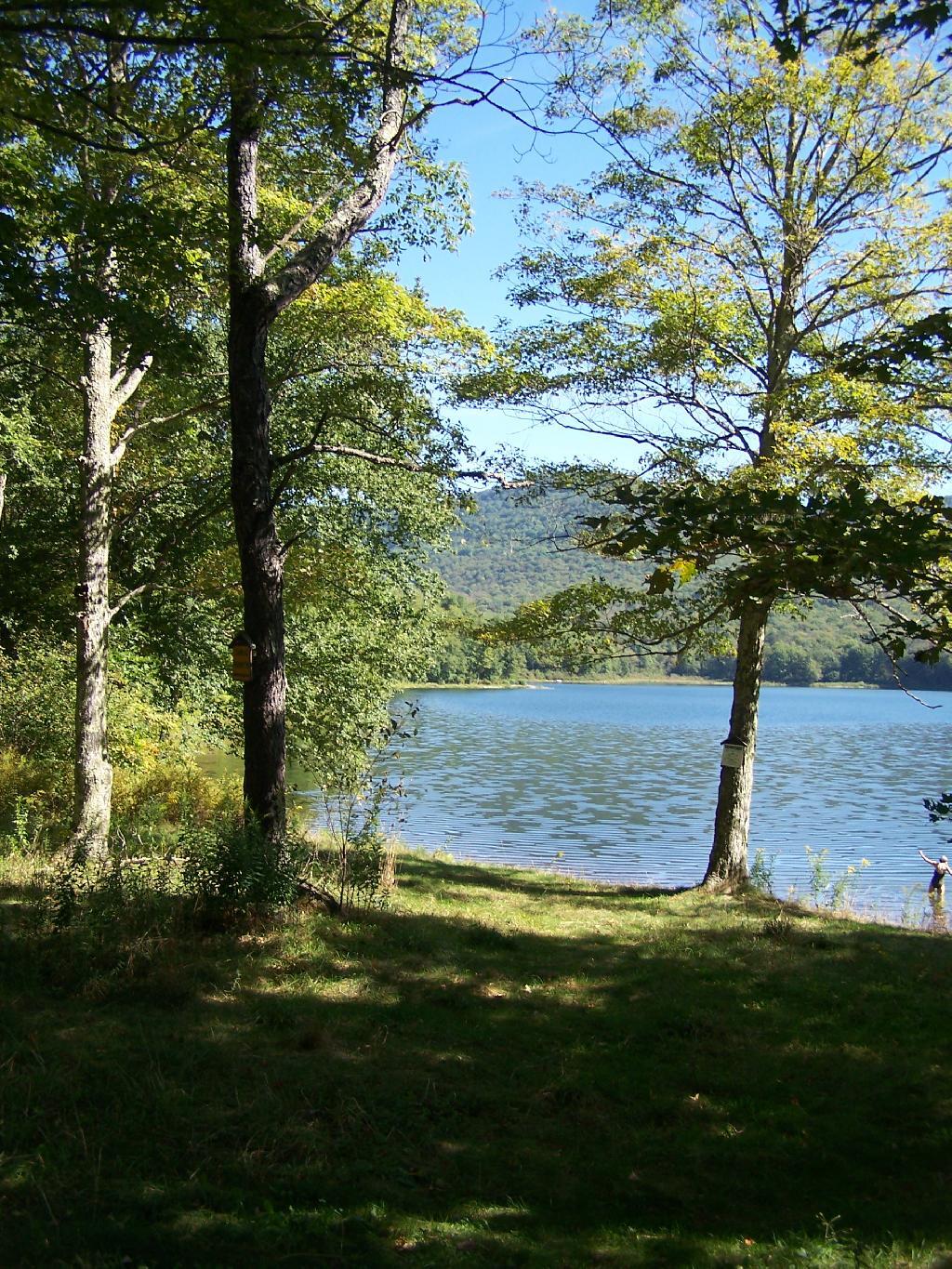
Big Pond from Parking Area. It certainly was quite pretty out there, and a great unguarded swimming beach that was packed with people.

Big Pond from Parking Area

Bear Bag. Actually it was a peanut can, with cookies and other things. And despite the bear coming through, he left my site alone, and didn’t even try to get the bear bag that was about 12-13 feet off the ground, suspended from a limb, and 10 feet plus from the tree where it hung.

Untitled [Expires November 22 2024]

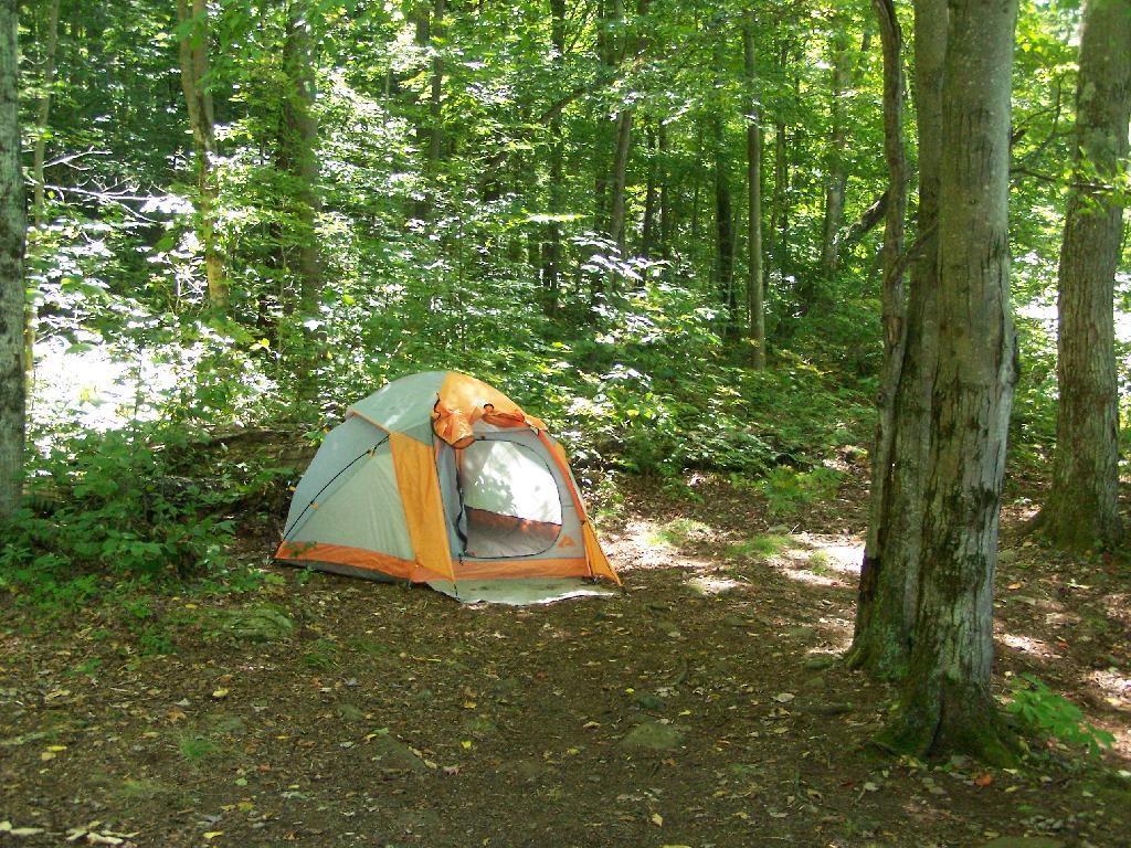
Tent. Yes, occasionally I will sleep in a tent. This actually is the second time I’ve slept in a tent this year. One other time I slept in a lean-to and the rest has been truck camping.

Tent

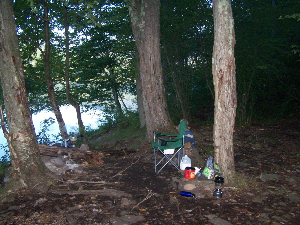
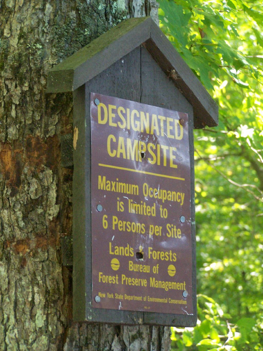
Designated Campsite. This is one of eight designated campsites around Big Pond. They are free to use, but are limited to 6 people, and you can only stay at one site for 3 nights without a permit.

Designated Campsite

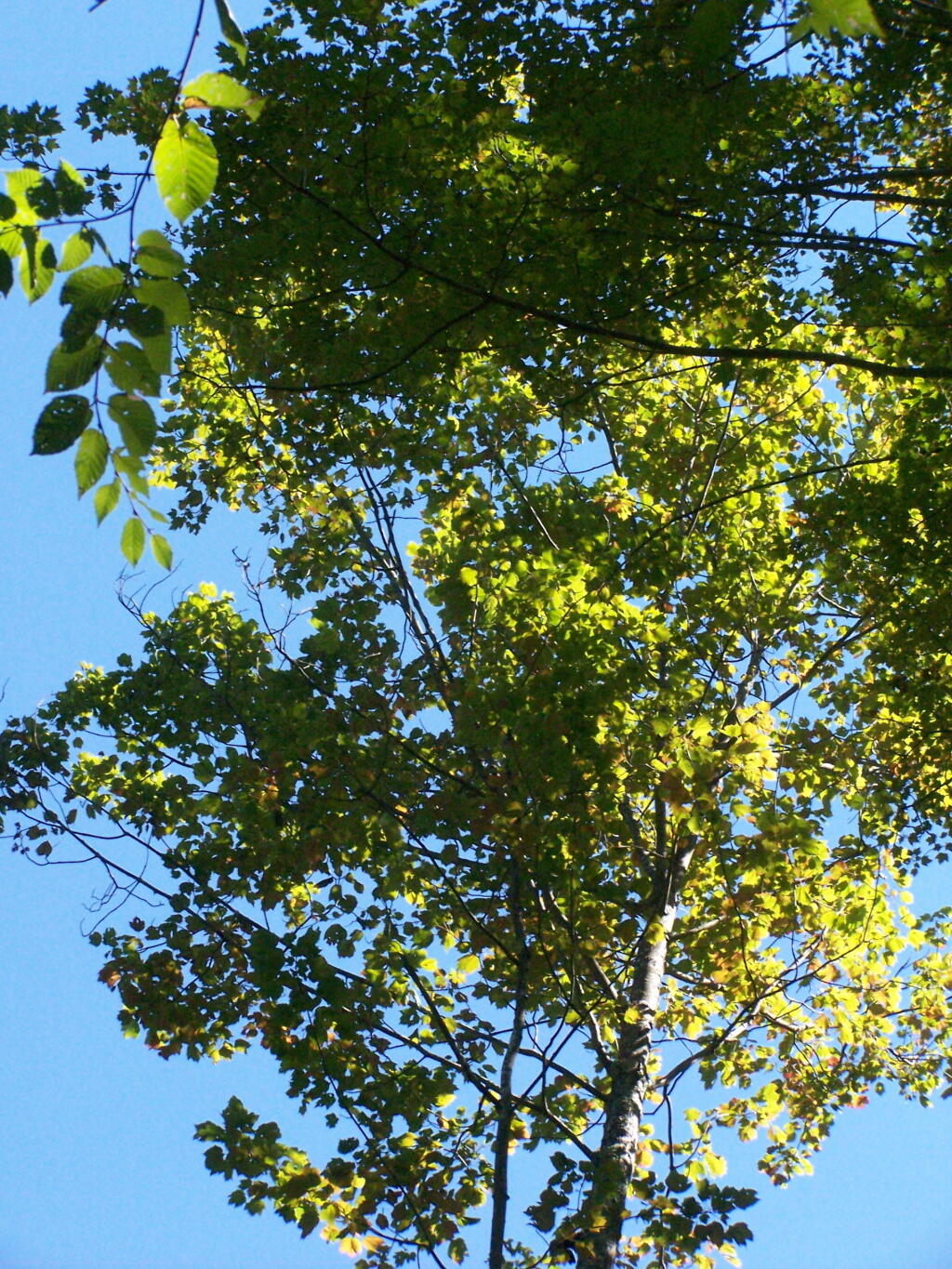
Looking Up at the Ash Trees. I was looking up at all the ash trees around the lake, and realizing that within 20-30 years they will all be gone. The maples will most likely replace them, but they also risk the Asian Longhorn Beetle.

Looking Up at the Ash Trees

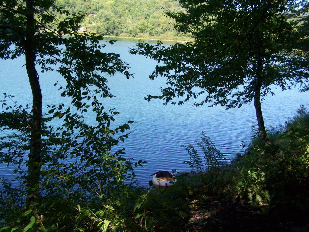
Parked at Campsite. It was a pretty blue lake in the morning.

Parked at Campsite

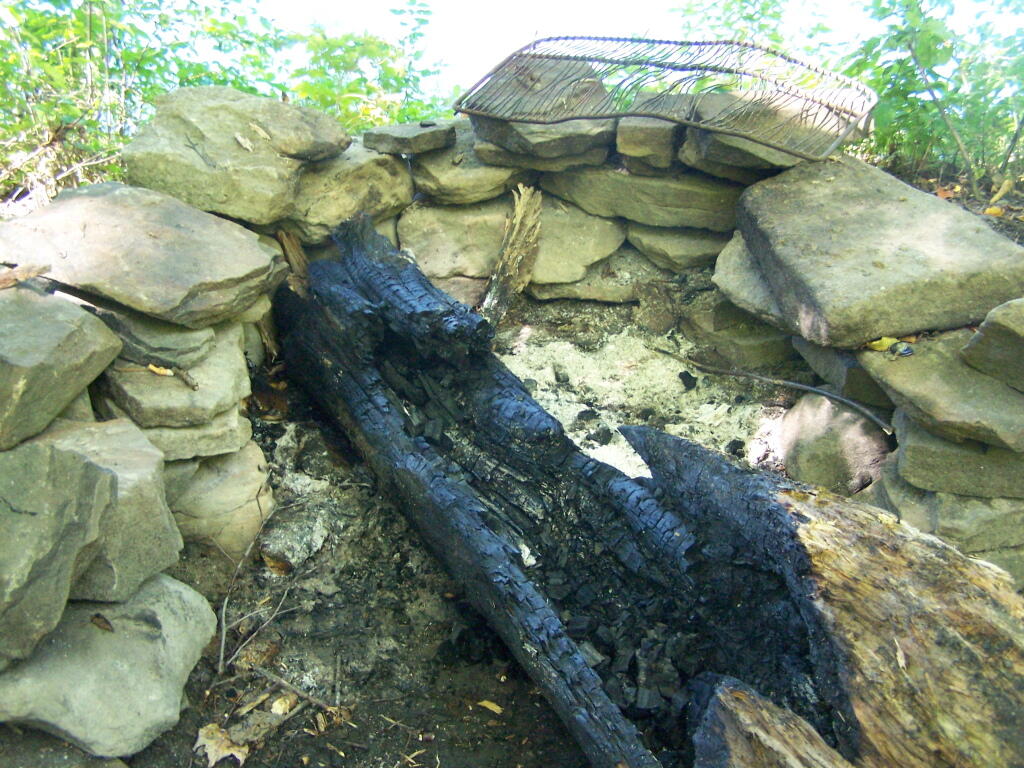
Finally Put That Smoldering Log Out. Remind me again, never to use a big punky old log like that in a campfire. It took a ton of water and rubbing the coals to get them to snuff out.

Finally Put That Smoldering Log Out

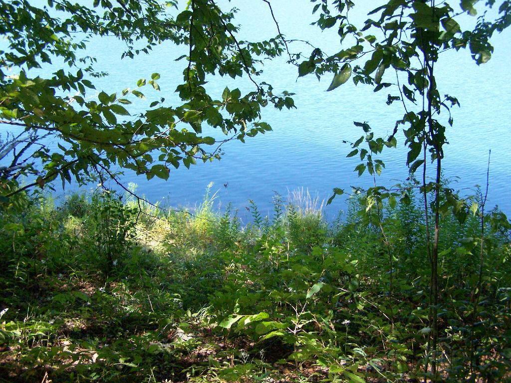
Blue and Green. I just liked this view from the campsite.

Blue and Green

Camping at Betty Brook, Aug 26

The Betty Brook Campsite remains one of my favorite in NY State, especially because it’s a quick hour drive from downtown Albany out there, over the Thruway and the Warren Andersen Expressway. It almost never disappoints, and it was a great night.

Beautiful Saturday Morning

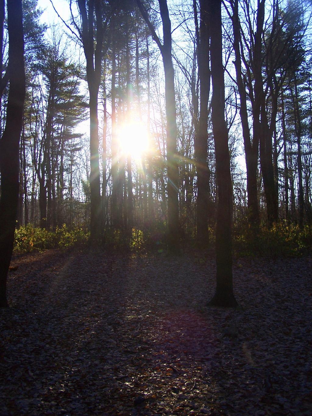
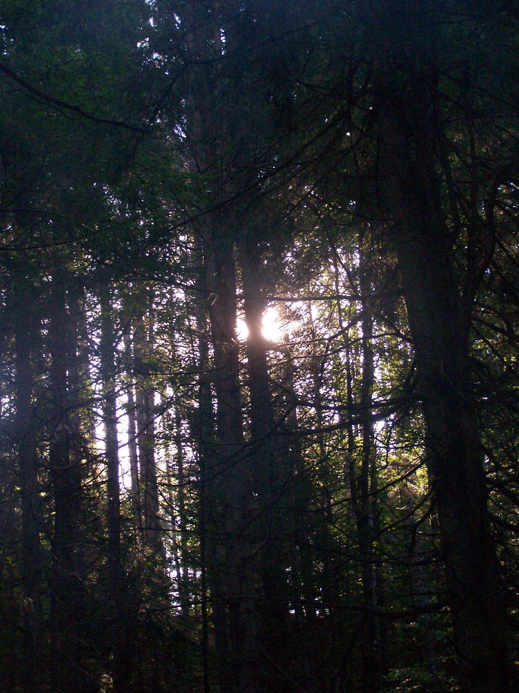
Morning Sun. The valley being so deep around Betty Brook the sun sets early, and rises late this time of year. Looking at the sun through the trees, a little after 9 AM.

Morning Sun

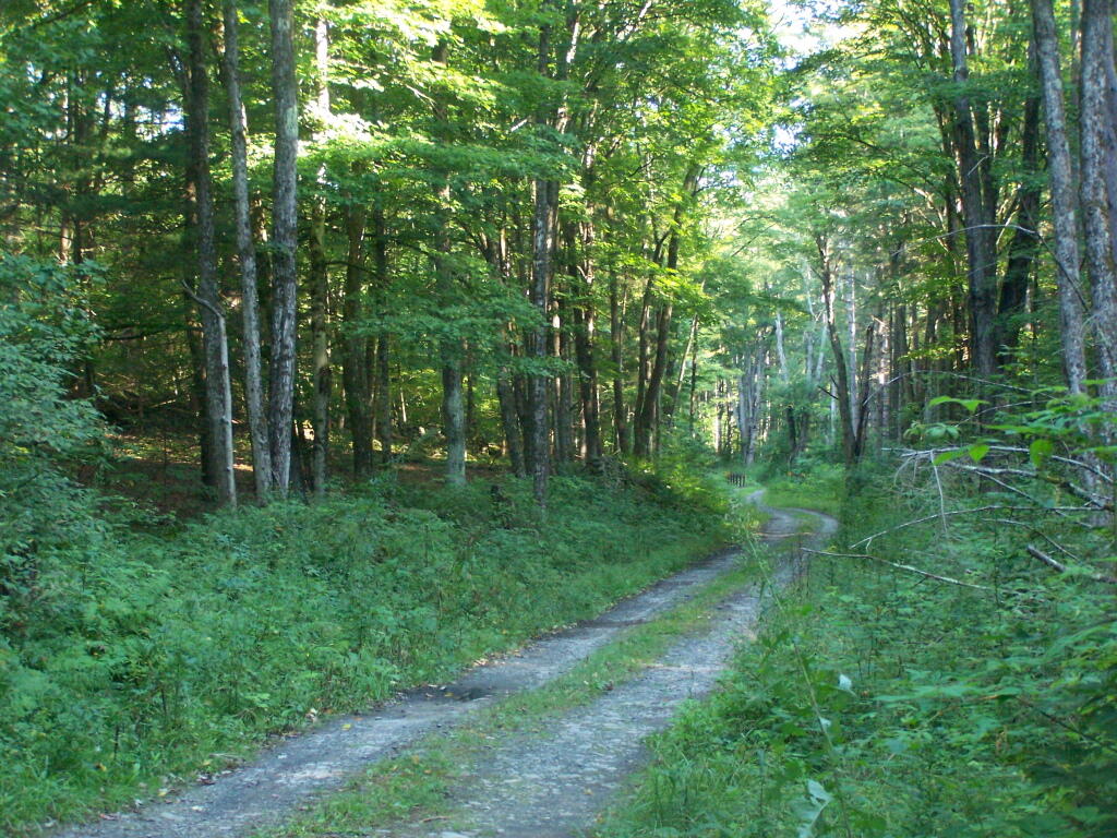
Betty Brook Road. Just looking at this road brings me home, back to my favorite camping area.

Betty Brook Road

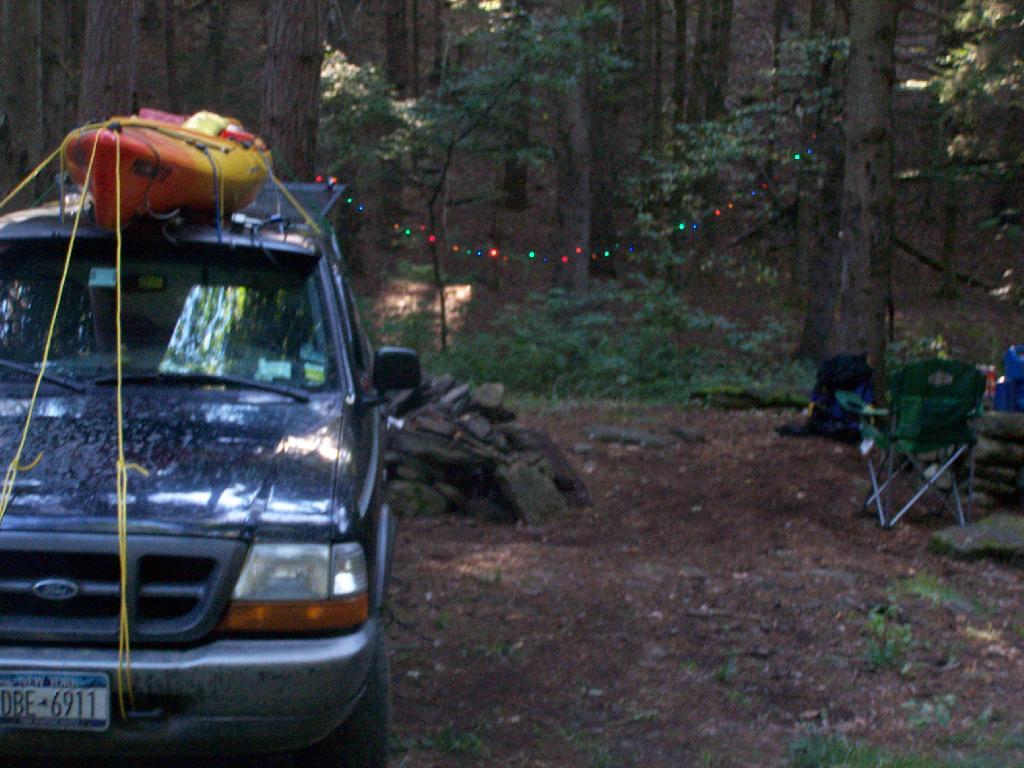
The Campsite. And yes, I of course have my trademark Christmas lights that I always use for ambiance.

The Campsite

Betty Brook Site All Cleaned Up

I headed from here, in my truck, up to explore the Mallet Pond State Forest-area just to the north. I probably will camp up at Rossman Pond the next time I am here, because the pond is so pretty and I can paddle around with my kayak there.

Sun Altitude from Horizon

Here is a map of the Betty Brook Campsites. There is a larger one to the south, but I generally prefer the one to the north, as its smaller and the firepit and stone table is much nicer.


View Hiking in 2009 in a larger map