After the wake of many close elections, one has to wonder if we need more restrictions on voting, to ensure that dangerous people, who don’t fully understand the consequences of voting don’t vote. It’s quite possible that George Bush won in 2000, not because of his abilities to lead our country, but because voters were just plain stupid.
Some have proposed to give local police forces the unilateral authority to decide who gets to vote and not vote on election day. It could be a very simple and straightforward procedure — the chief of police in every town could sign a sheet of paper to make it unlawful for anyone to vote whose name appears on the list.
Why have tough evidence based standards to keep people from voting? Why bother to get a court order, showing a person is mentally unfit to vote? Or if we insist on requiring court involvement, shouldn’t courts be able to keep anyone they want to from voting?
Certainly requiring evidence, beyond a reasonable doubt of a crime committed or about too be committed is too high of a standard. That could allow a lot of people who are of questionable mind to vote in elections. Indeed, even one voter, throwing an election could lead to a totalitarian regime to take over our country. We certainly don’t need any more tragedies like George Bush getting elected.
People make similiar arguments about gun control, so why not voting? Doesn’t this sound very democratic and fair to give government lots of arbitrary control over who can vote?
Probably the number one thing I forget to pack when fall, winter, and spring camping (and hiking) is my longjohns. I literally have like 10 pairs of longjohns, because I’ve had to go out and buy more pairs when I forget them and I’m a long ways from home.
Longjohns may seem silly. But they really do much to keep you warm. Yet, they aren’t something that’s normally visible to the public, and as such they are out of site and out of mind.
Yet, as soon as you get out in the woods, and start to have cold legs, you realize how nice it would be to pack your longjohns. Sure, one can get another cheap pair of cotton longjohns at any Walmart, but one would be better of it they just remembered to pack longjohns from the get go.
It’s always a good idea not to forget your longjohns!
For the first year of doing topographic maps, I relied extensively on using NYSDOT topographic maps, I originally downloaded from the NYSGIS consortium website. The NYSDOT topographic maps have a lot of good information on them, an in many ways have the most accurate topography.
But what I’ve also found with those maps is they have several real limitations…
1) They Don’t Scale Well.
NYSDOT topographic maps are designed to viewed at 1:2400 feet ratio, as they are 7.5″ quads. You can get away with rendering them anywhere between 1:1800 to 1:2600, but beyond that the text looks too small, too crowded, or two pixelated. For smaller parks and larger areas, NYSDOT topographic maps do not work well.
2) Unneeded Information and Clutter.
DOT Topographic Maps try to suit the need of any user, and include information like town lines and other jurisdictional information that is unnecessarily for the average outdoors person.
3) Outdated Information.
Often topographic maps have dated information on man-made boundaries and buildings. The state often buys new land, demolishes existing buildings, and closes off trails. Old trails appear on topographic maps, as do labels such a “Restricted”, even though to this day such roads may be valid, despite the incorrect or outdated information on topographic maps.
4) Metric Scale; Differentiating Contour Scales.
Metric elevations are maddening for anyone trying to calculate their elevation from select DOT topo maps, and often when you load multiple topographic maps, they do not fit together seamlessly, as one will be using one unit for contours, while another will use another unit. Contour scales throughout the state very widely, which when put together can be confusing.
On the other hand, topos do have some benefits…
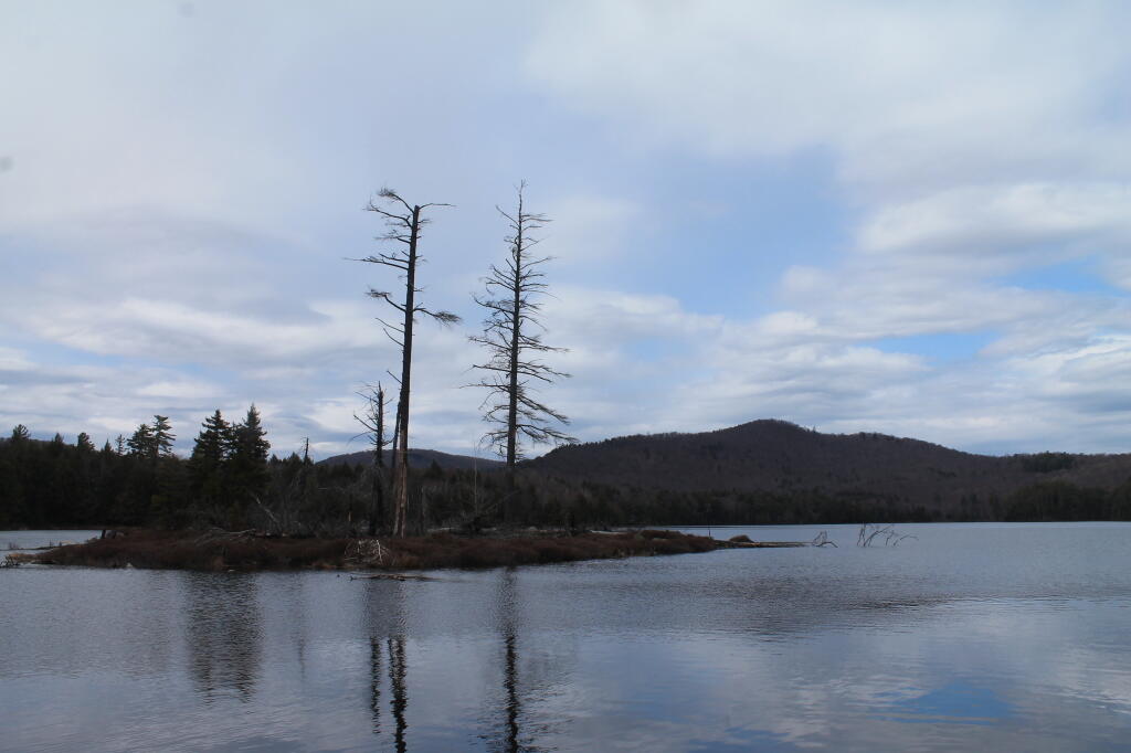
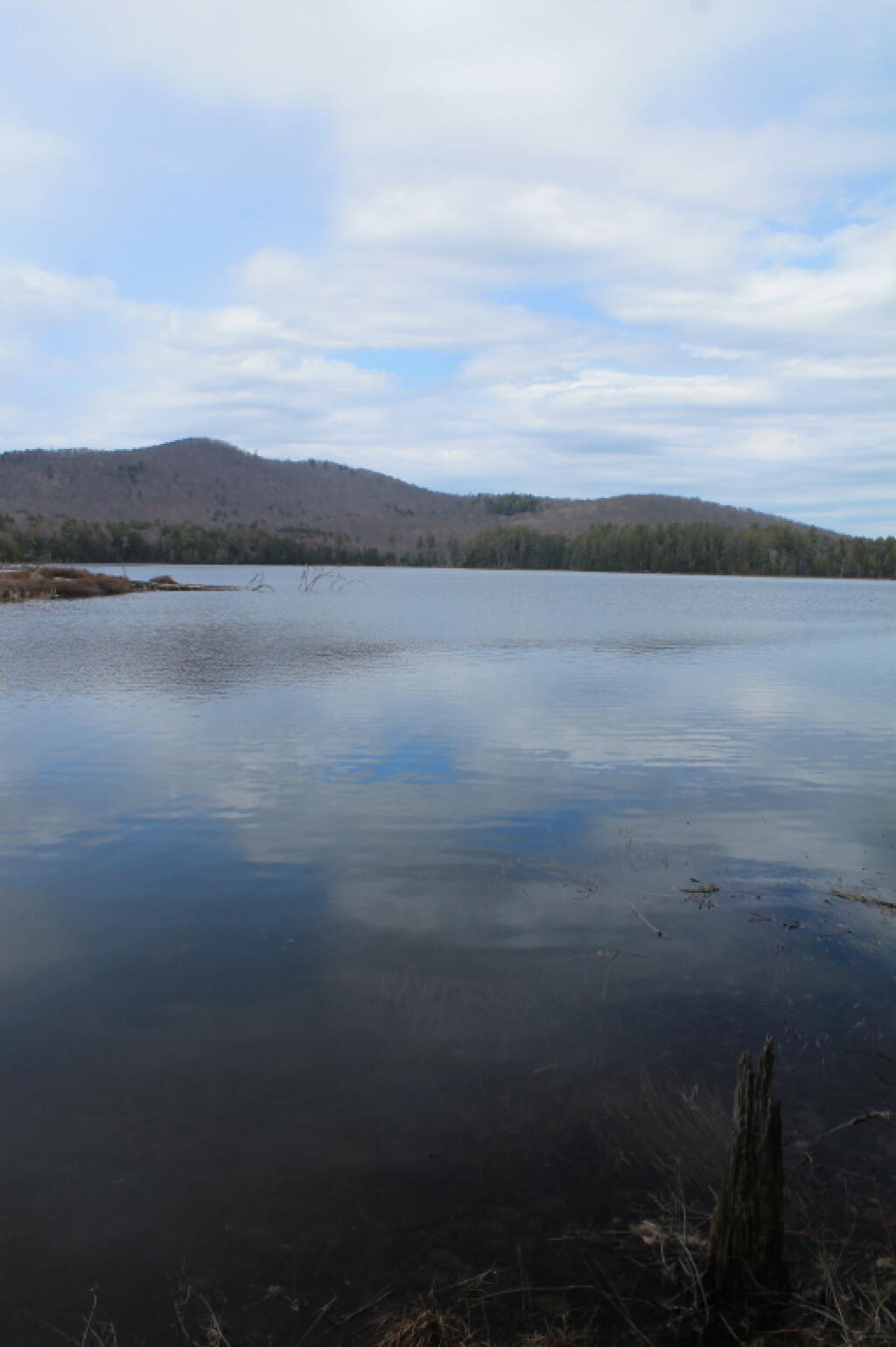
1) Most Accurate Shorelines.
The Census Water Area and Liner Water Shapefiles from TIGER/Line are pretty accurate, but they are not nearly as good as topographic maps.
2) Wetlands.
Currently I don’t have any good source of data or wetlands to add to my maps. I probably should do more research into this, as I know the state does have wetland maps available — but how much of a PITA are they to use?
3) Buildings.
Topographic maps have many of the buildings on them. While this information can be outdated, it does provide useful information to the viewer of such maps. TIGER/line has some features, like cemeteries and some buildings, but this data set is tiny compared to what’s on the NYSDOT topographic maps.