Today we look at land use in the Mohawk Valley. Here a series of maps along the Mohawk River, showing land use as a quad color image, based on NASS/Landstat data from the region. The images below use the following colors:
Red – Developed areas such as cities, highways, and other industrialized or otherwise developed parts.
Yellow – Agricultural areas, including all farm crops such as corn, hay, alfalpha, and other truck crops
Green – Woodland, brush, and barren lands
Blue – Water bodies
These images should pick up detail up to about 300 feet in any particular direction.
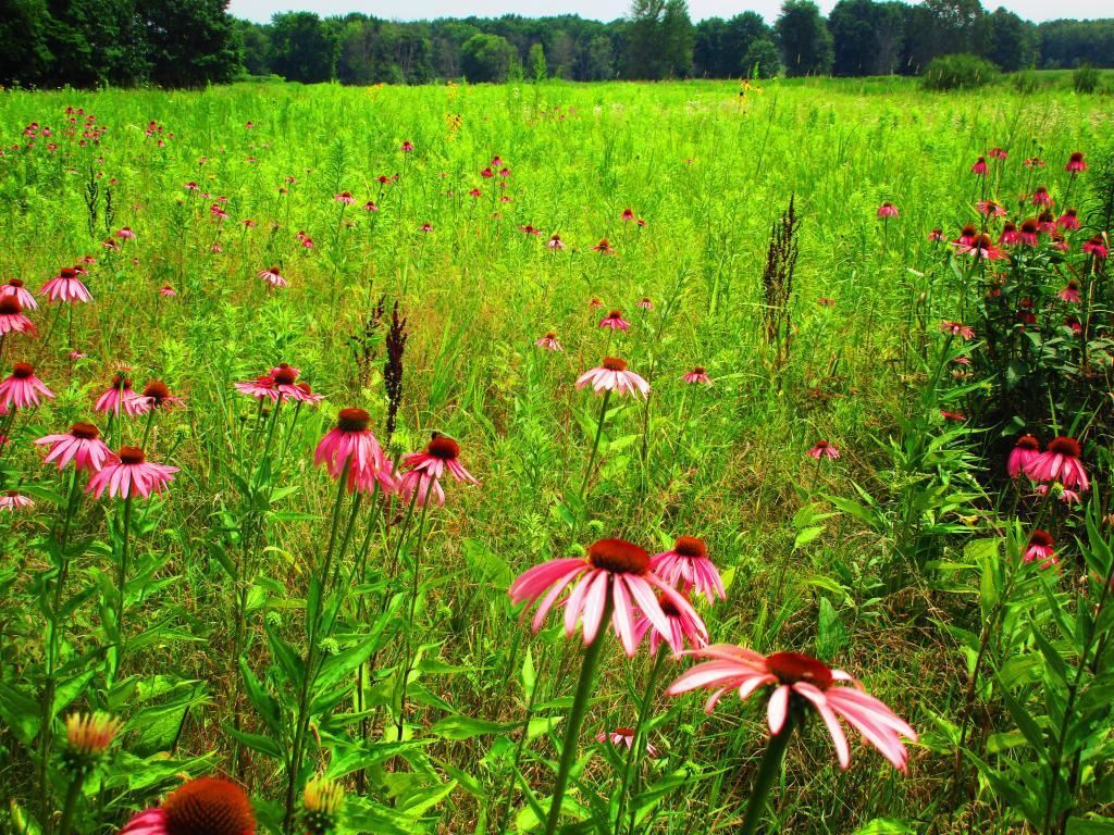
Overwhelmingly, the Mohawk Valley is about agriculture, although as elevation increases and farming is no longer profitable, then farm fields revert to tree cover. And while their are certainly single family homes and other rural residents under the tree cover, by no means is development the overwhelming use of the land.
Utica Area.
Most of the farming in the Utica-area, occurs south of the city, due to the sandy soils, short growing season, and elevation making farming unprofitable north of city. This map may actually distort how much land north of city is actually farmed, as many of farm fields shown on this map have been abandoned and are slowly reverting to brush and ultimately tree cover.
Canajoharie Area.
As you get around Canajoharie the amount of farming activity picks up dramatically, and except for a small section right next to the Mohawk Valley, most of this area is not developed.
Albany-Schenectady Area.
Heading towards Albany-Schenectady, you see more development, but notice how you don’t have to get far from the city for forest cover to be dominant feature, and not agriculture. A lot of this is rural residents, with acreage, and hobby farms around here. Farming stops when you get up on the Rensselear Plateau, although the farm lands right around Brunswick are quite profitable, until you start heading towards Grafton where almost all farming stops.
How much of the Mohawk Valley is developed, how much is farmed, and how much is forested? These images give you a clear overview, with all agricultural cropland and pasture colored yellow, all forest lands colored green, waterways colored blue, and developed areas are red. This is based on LANDSTAT and USDA NASS Croplayer data.
Overwhelmingly, the Mohawk Valley is about agriculture, although as elevation increases and farming is no longer profitable, then farm fields revert to tree cover. And while their are certainly single family homes and other rural residents under the tree cover, by no means is development the overwhelming use of the land.
Most of the farming in the Utica-area, occurs south of the city, due to the sandy soils, short growing season, and elevation making farming unprofitable north of city. This map may actually distort how much land north of city is actually farmed, as many of farm fields shown on this map have been abandoned and are slowly reverting to brush and ultimately tree cover.
As you get around Canajoharie the amount of farming activity picks up dramatically, and except for a small section right next to the Mohawk Valley, most of this area is not developed.
Heading towards Albany-Schenectady, you see more development, but notice how you don’t have to get far from the city for forest cover to be dominant feature, and not agriculture. A lot of this is rural residents, with acreage, and hobby farms around here. Farming stops when you get up on the Rensselear Plateau, although the farm lands right around Brunswick are quite profitable, until you start heading towards Grafton where almost all farming stops.
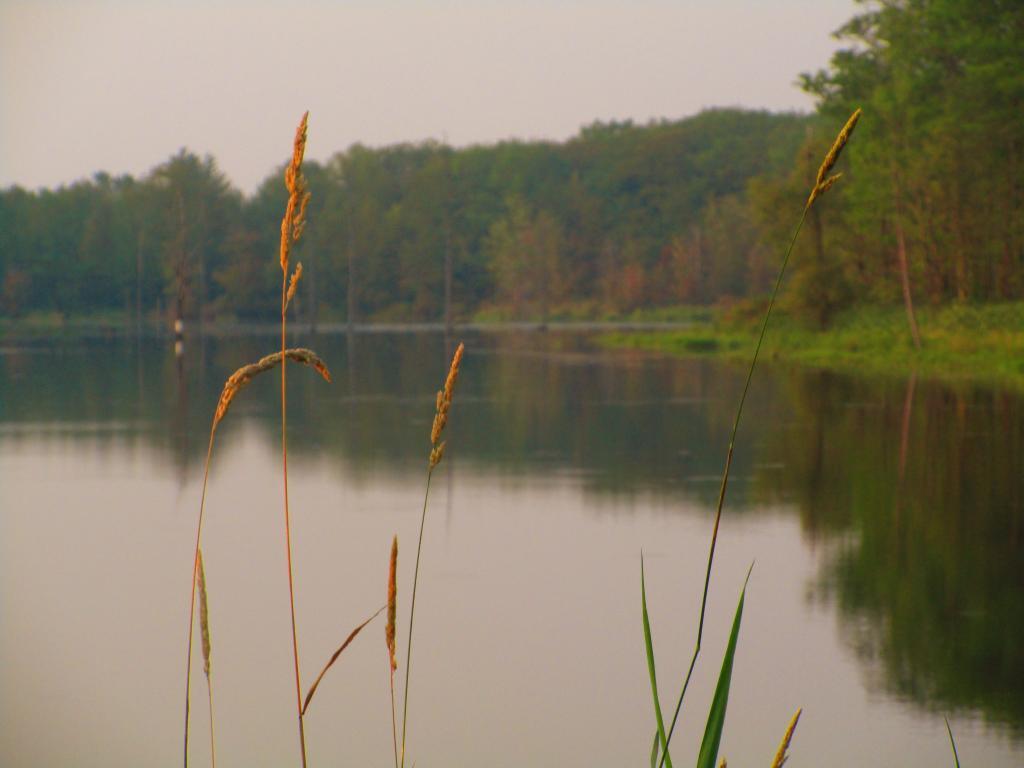
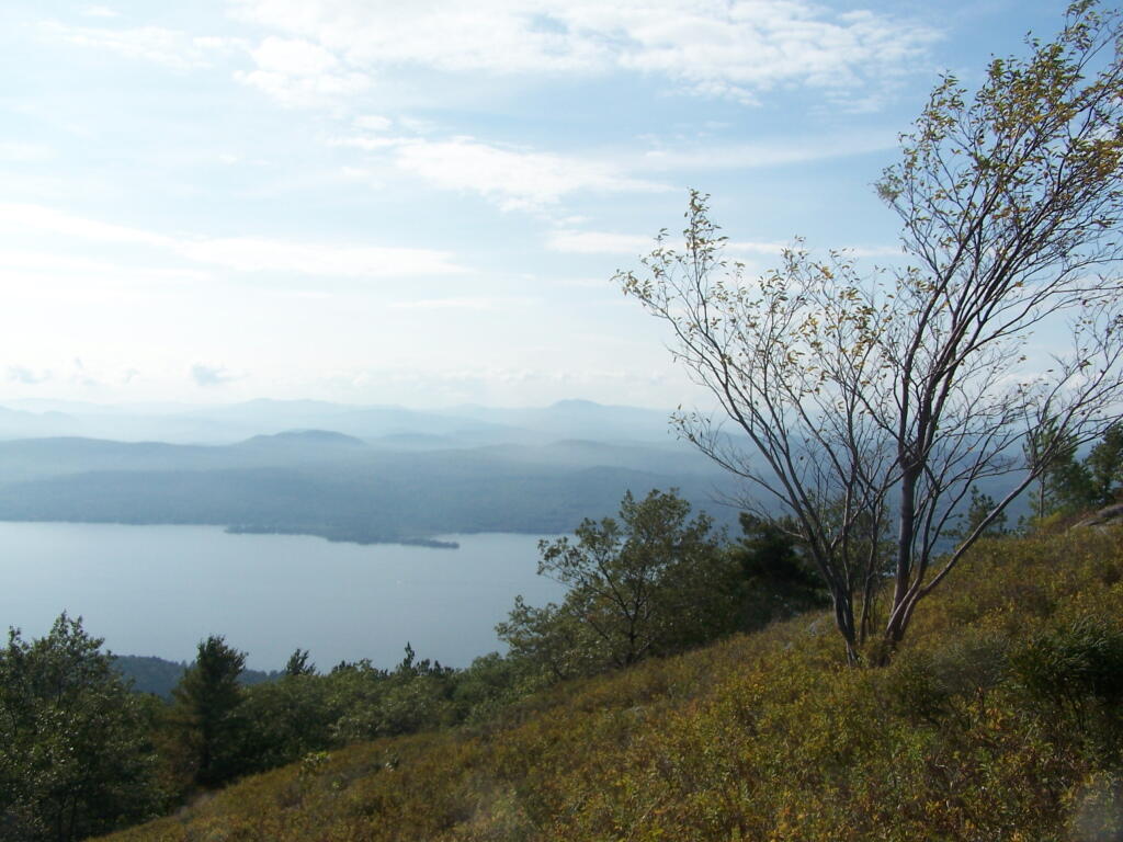
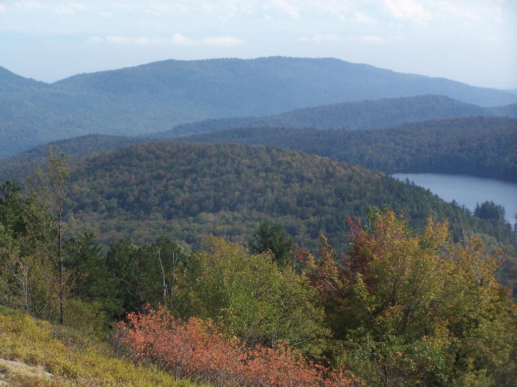
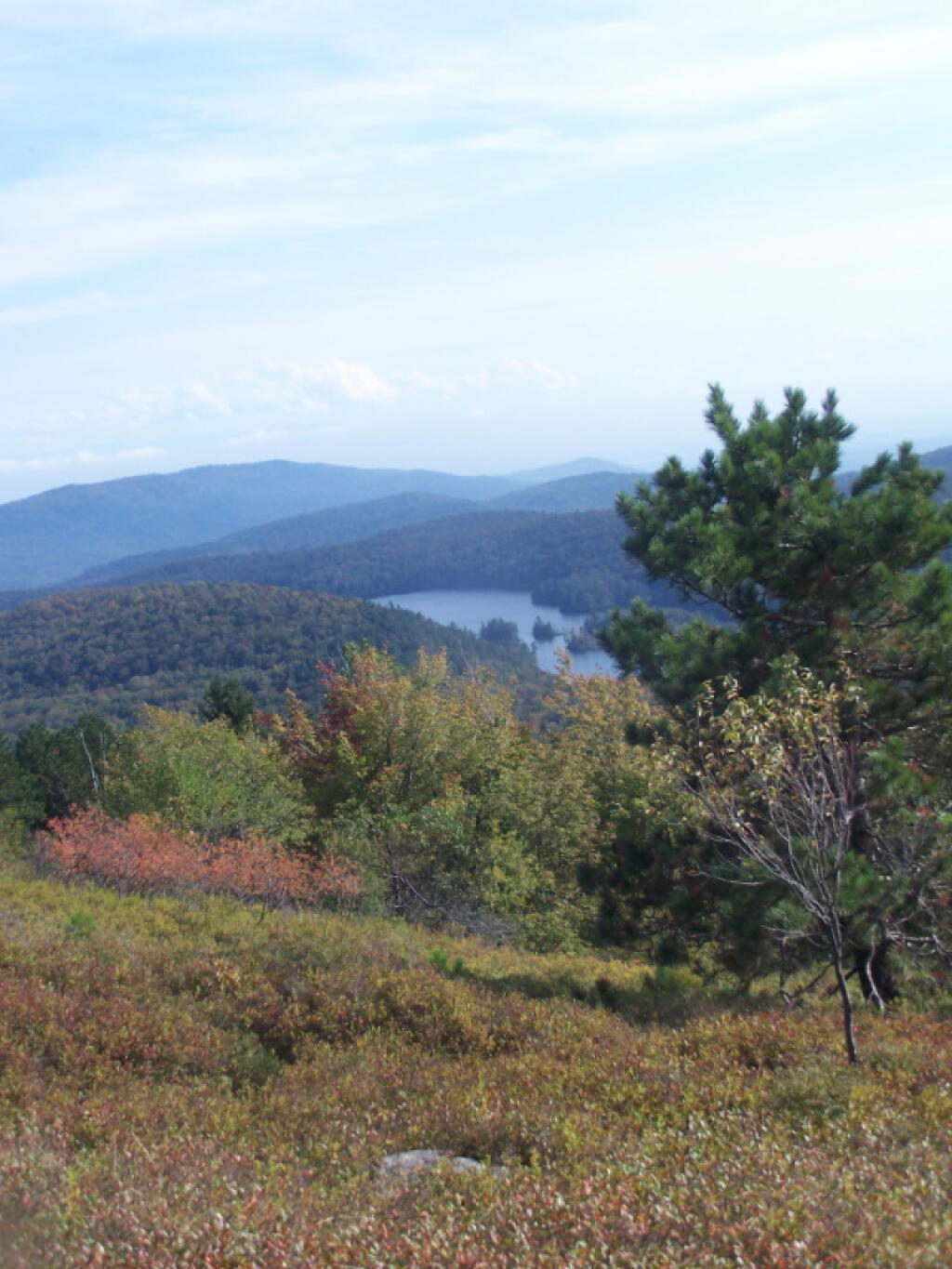
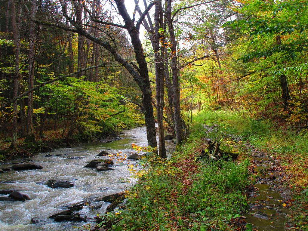
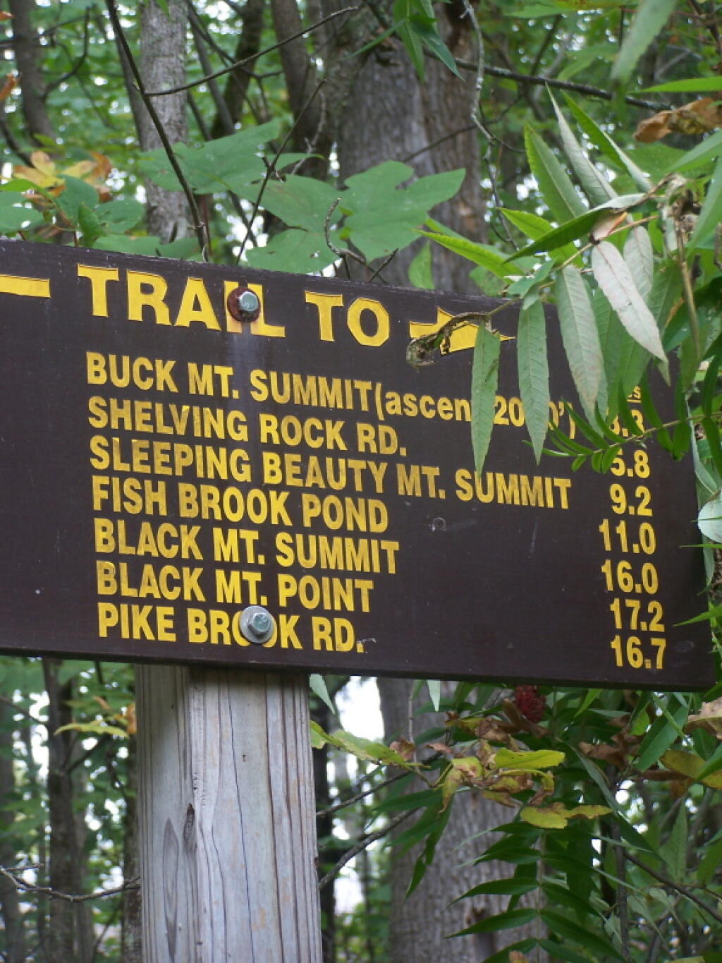
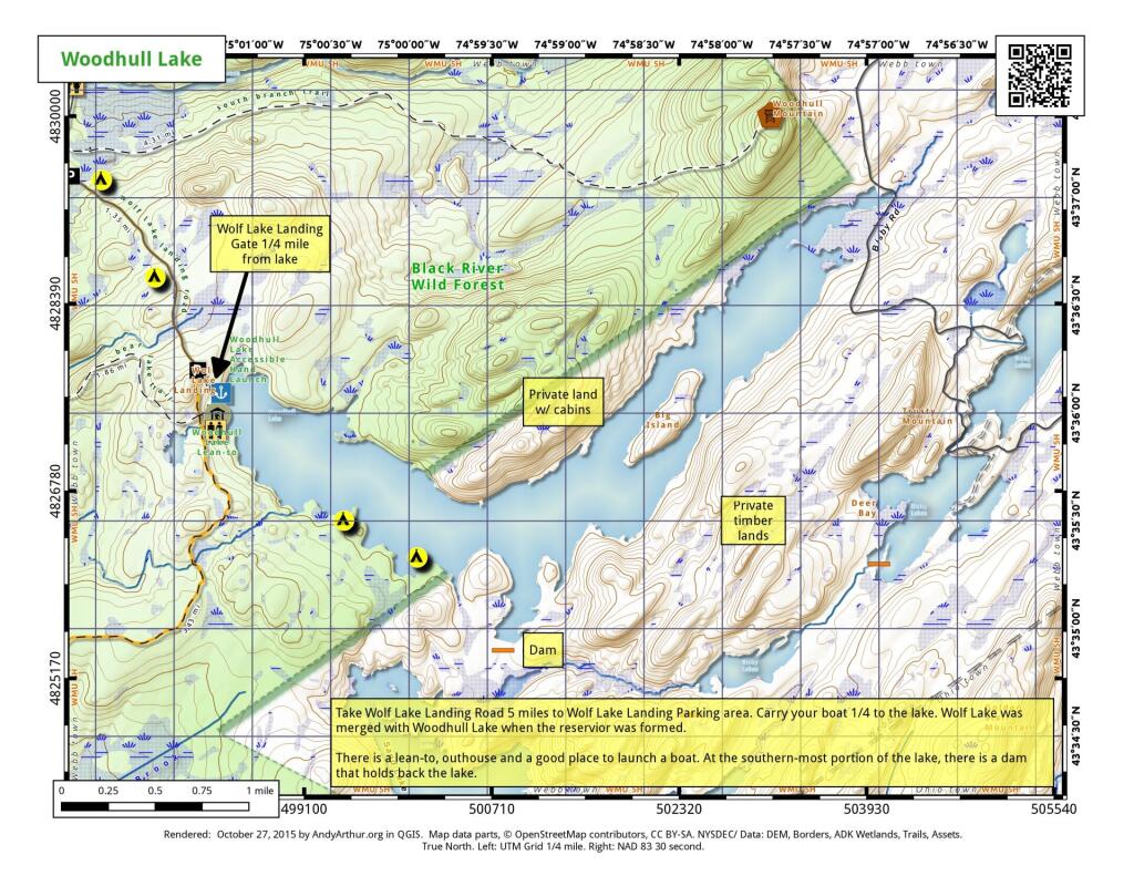
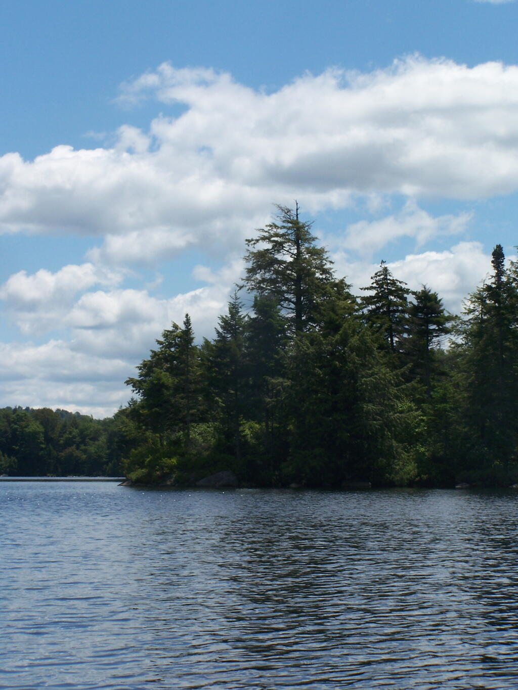
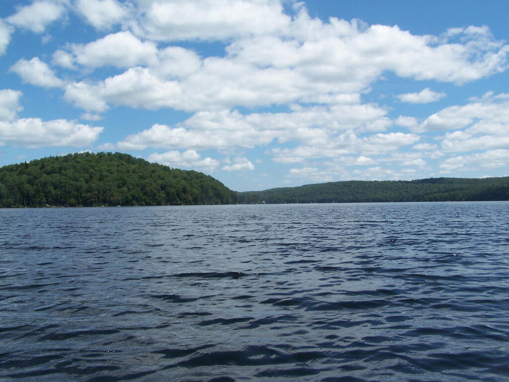
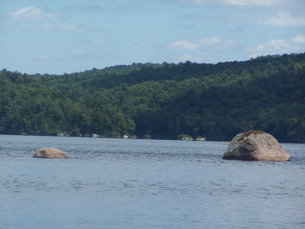
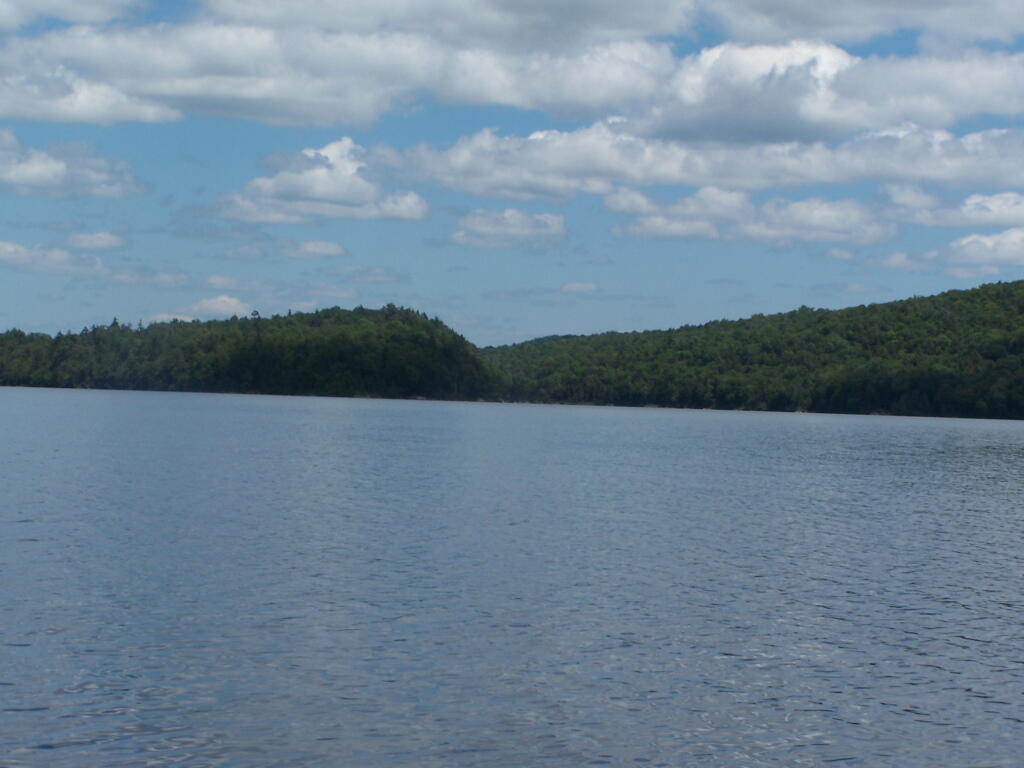
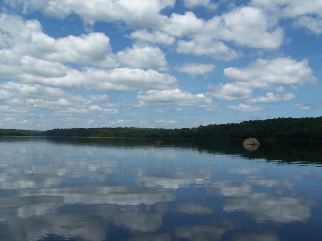
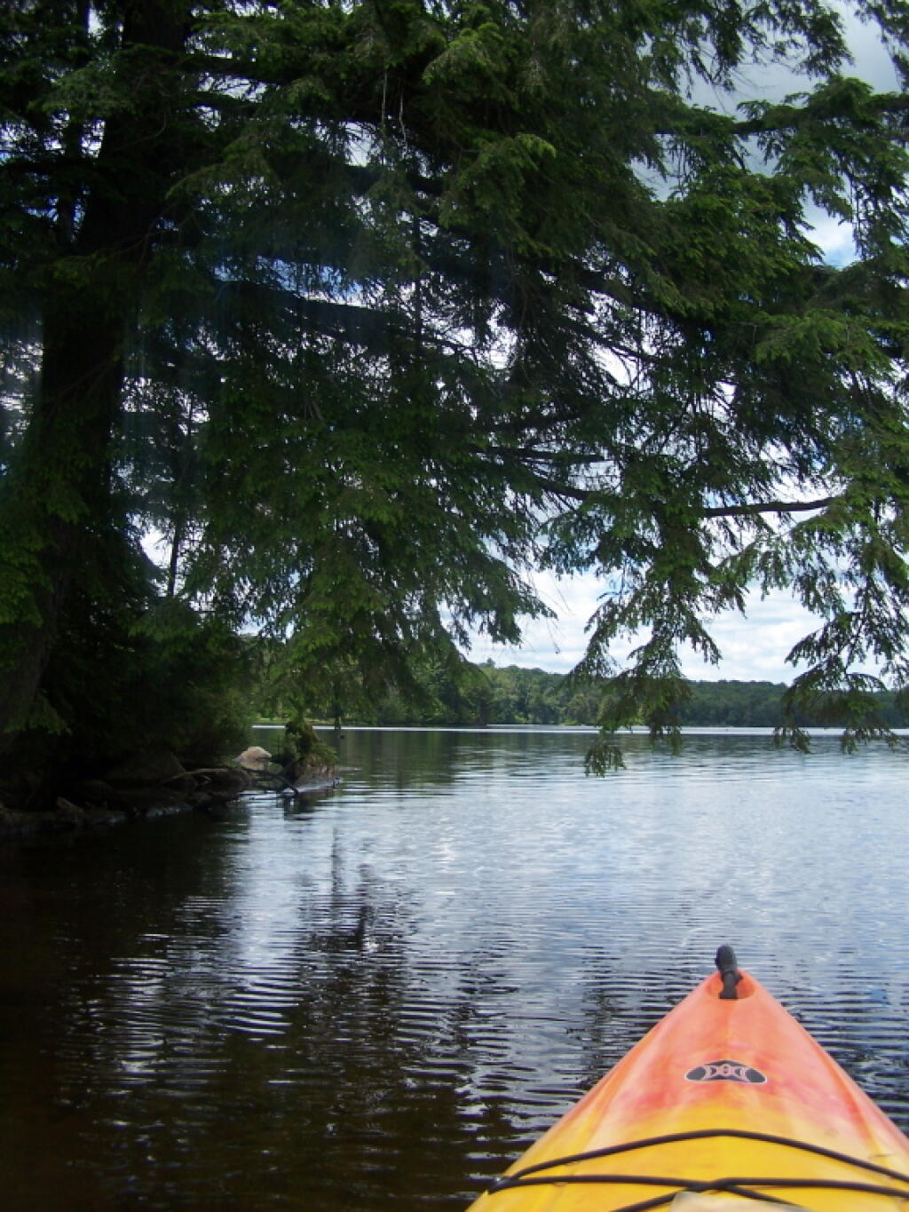
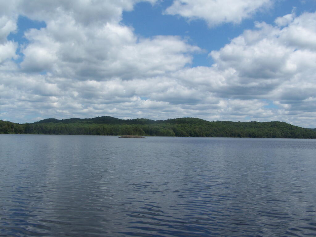
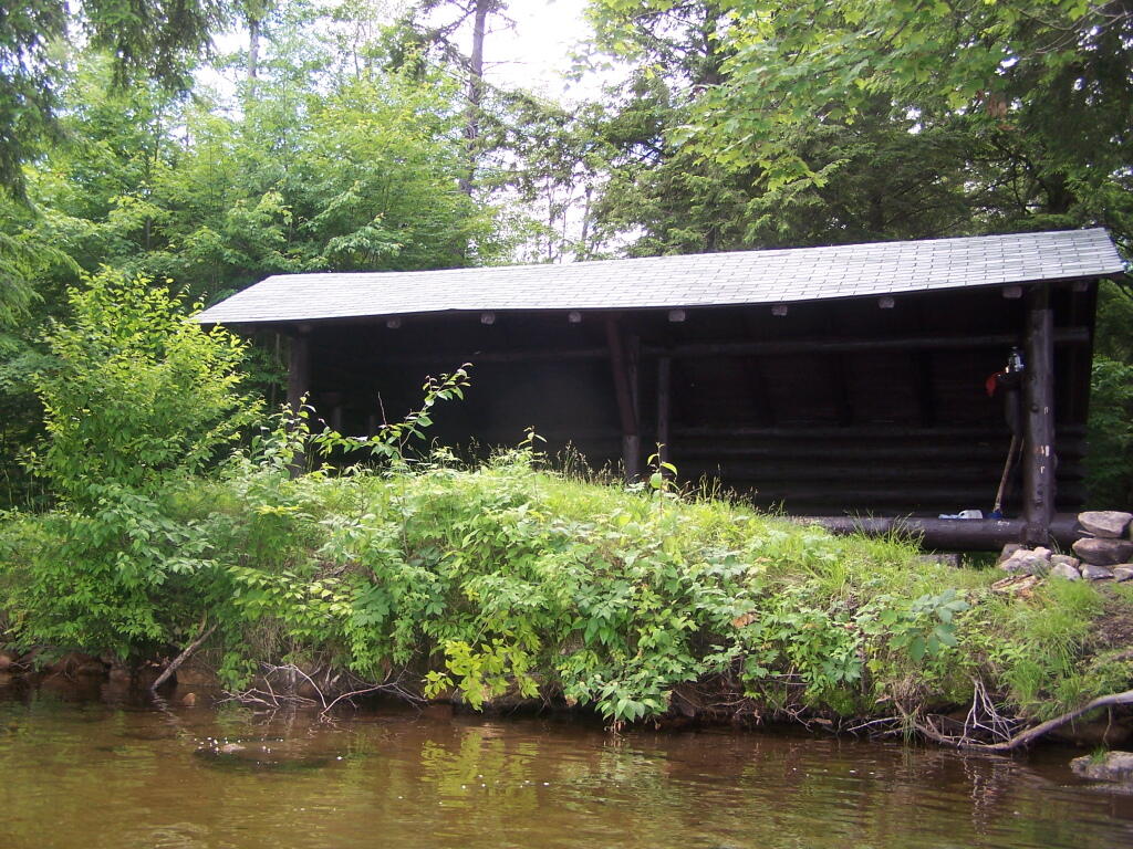
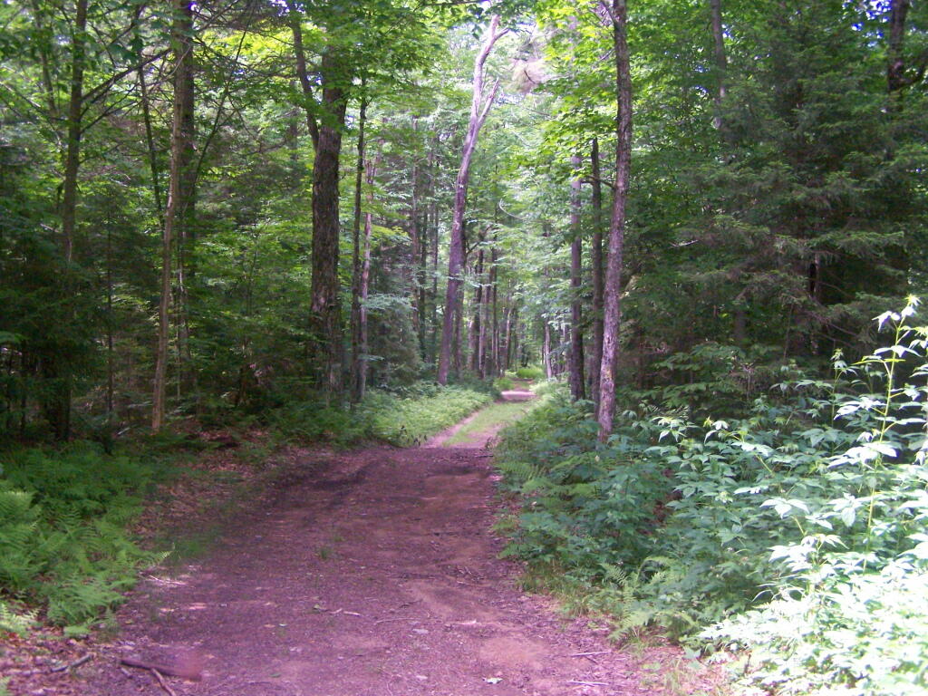
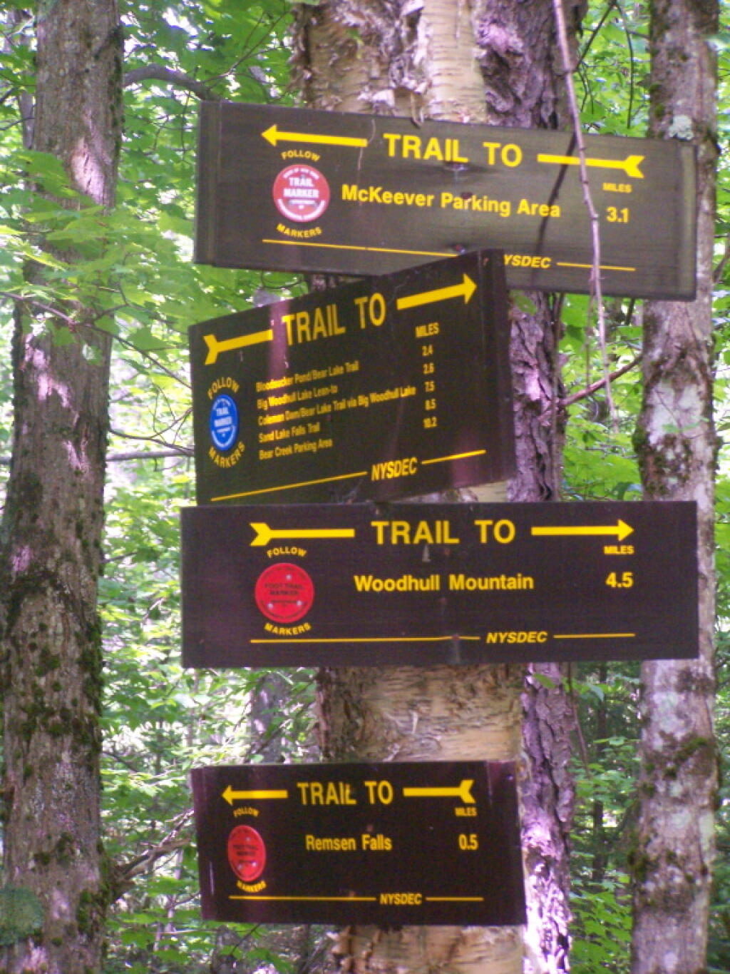
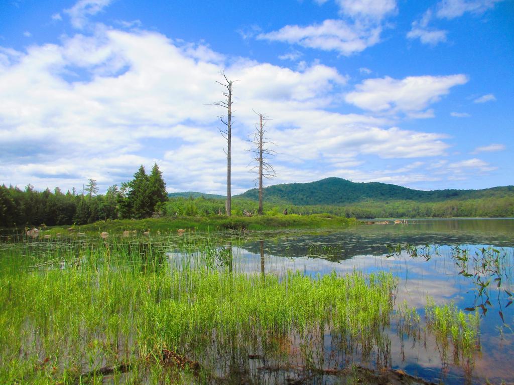
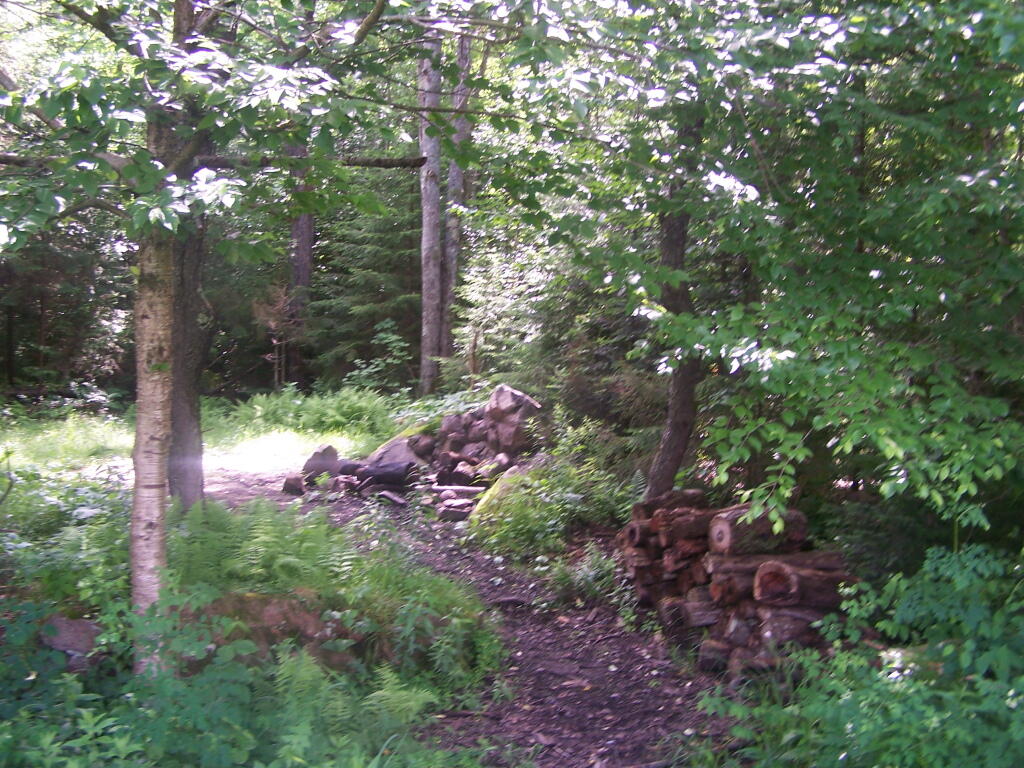
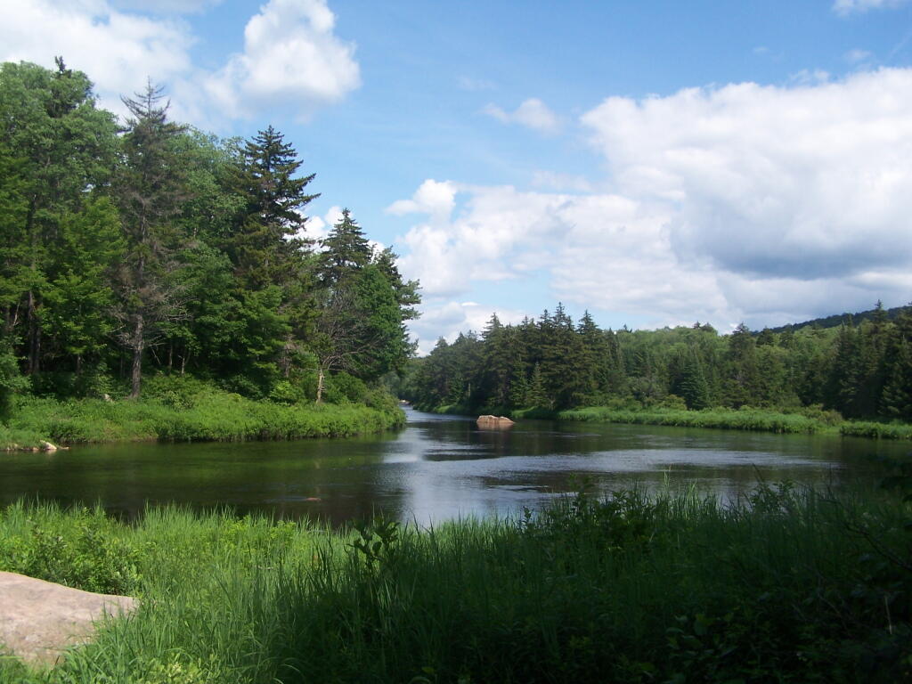
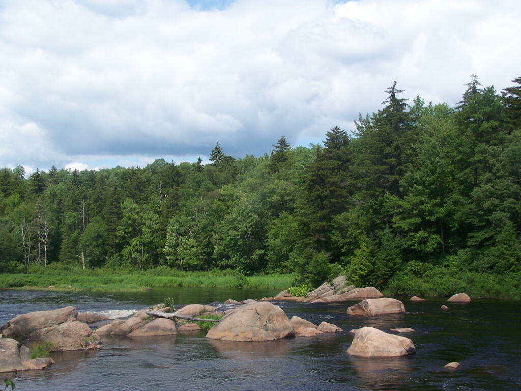
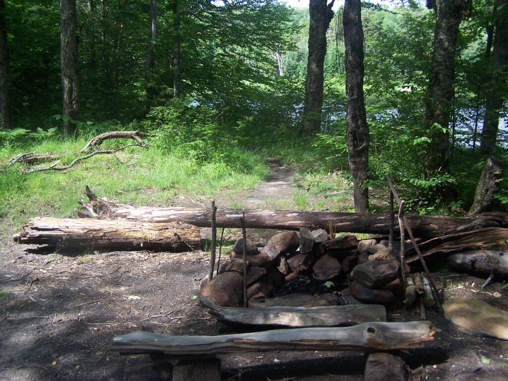
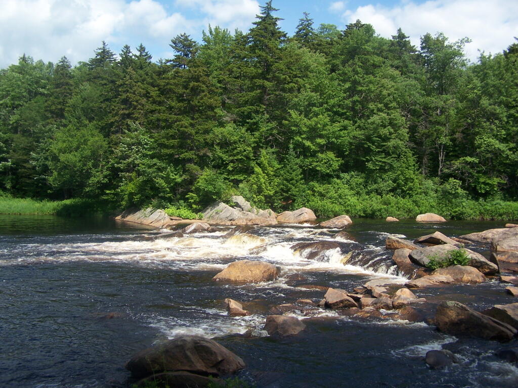
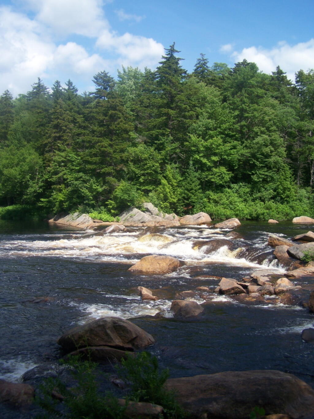
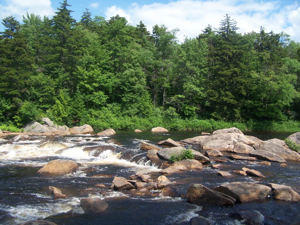
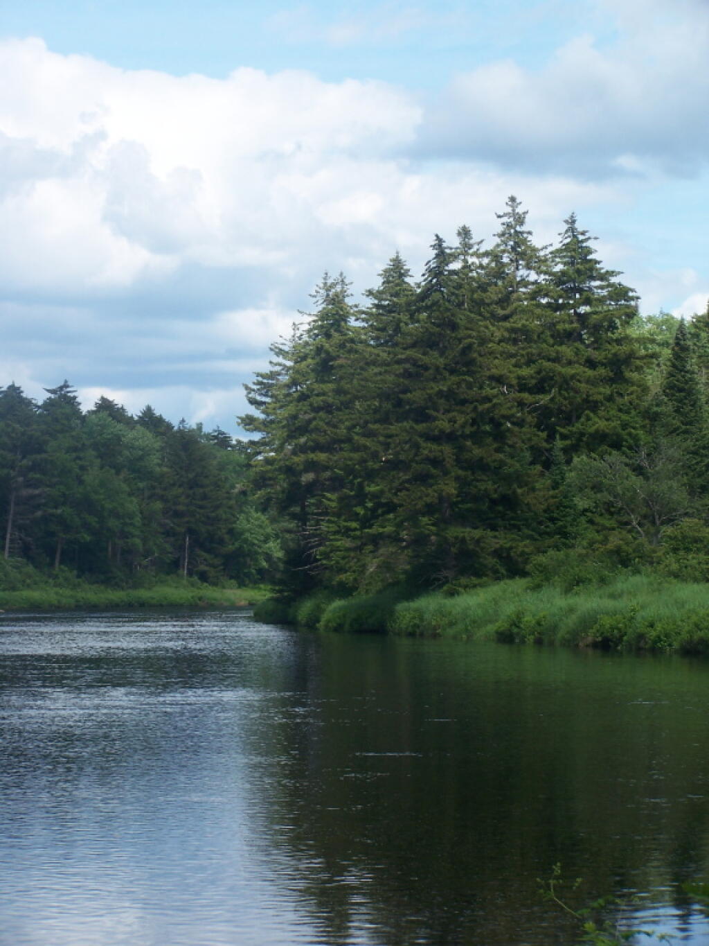
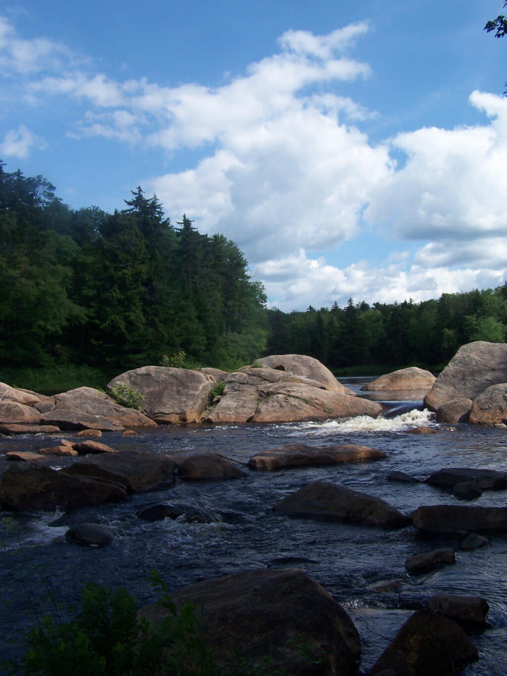
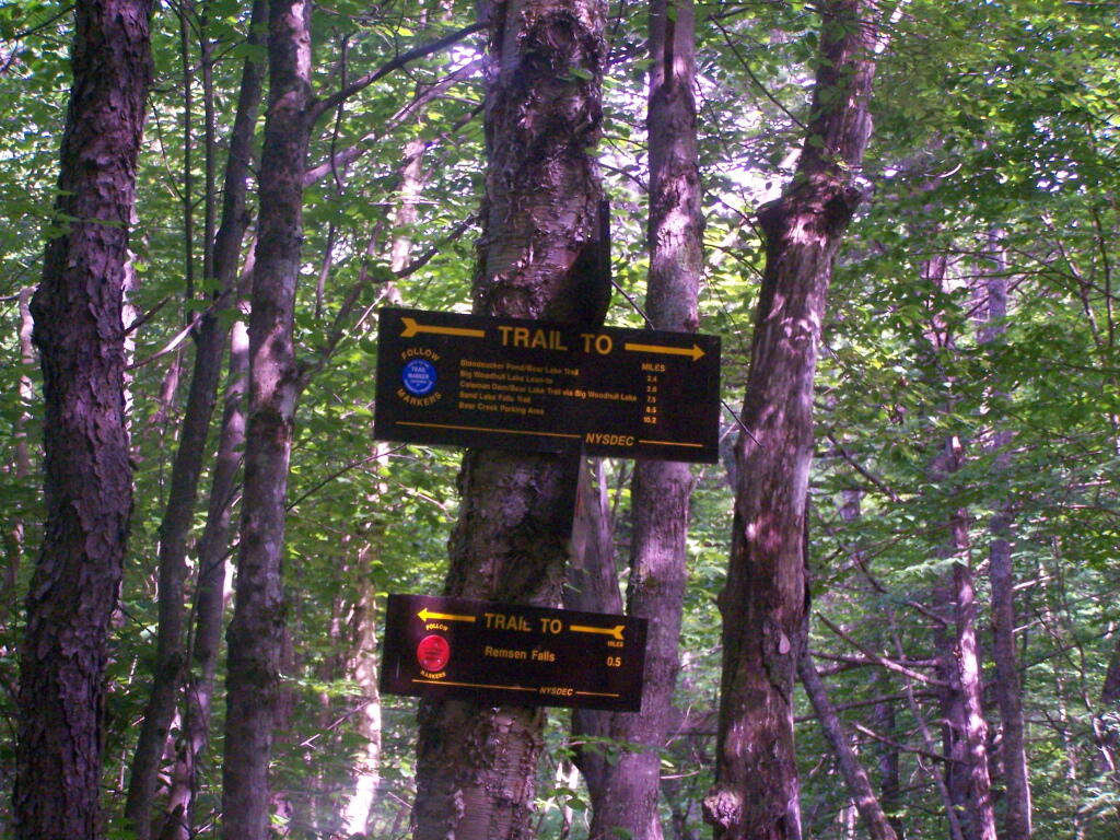
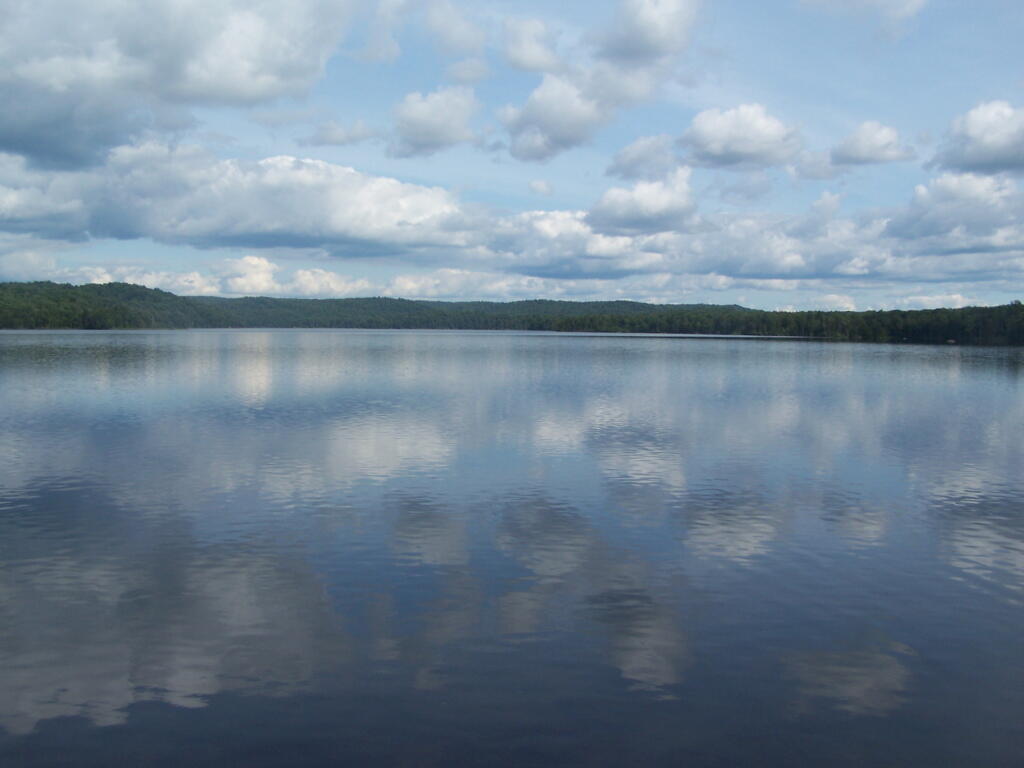
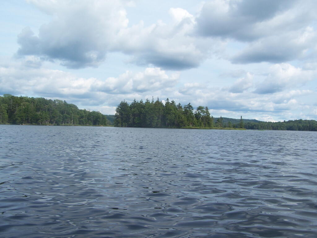
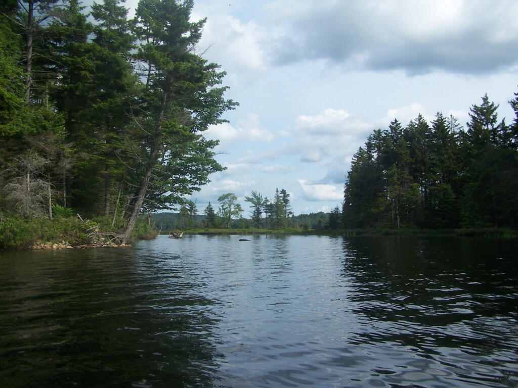
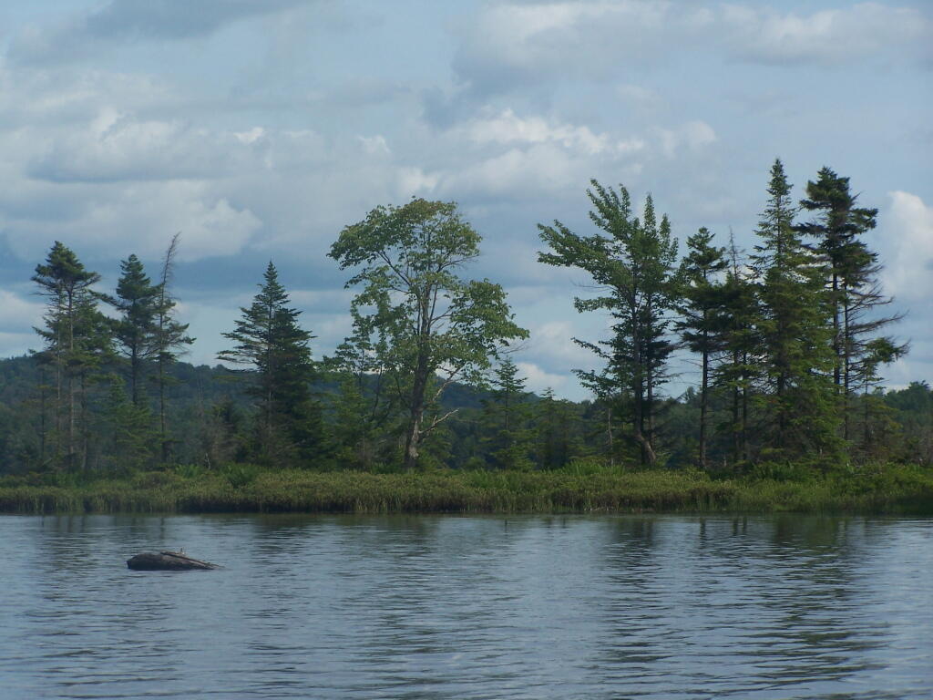
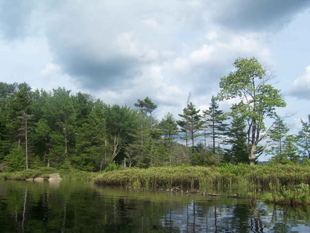
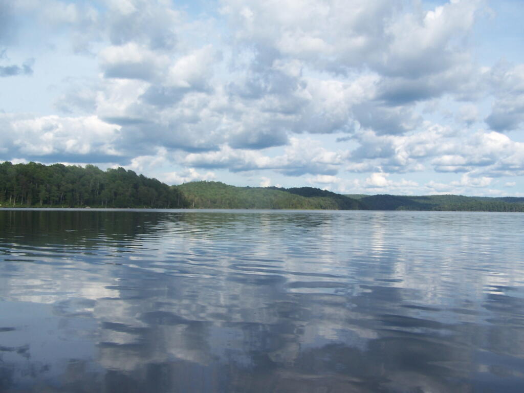
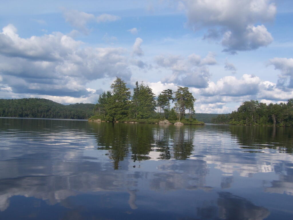
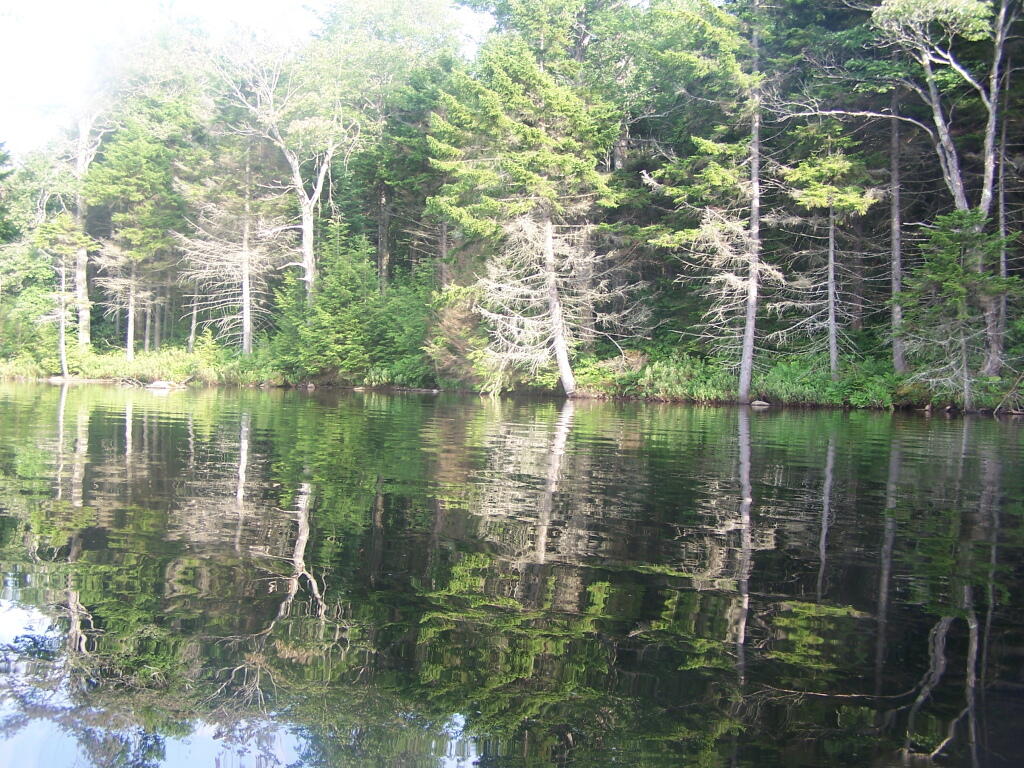
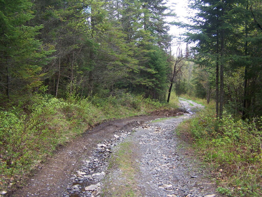
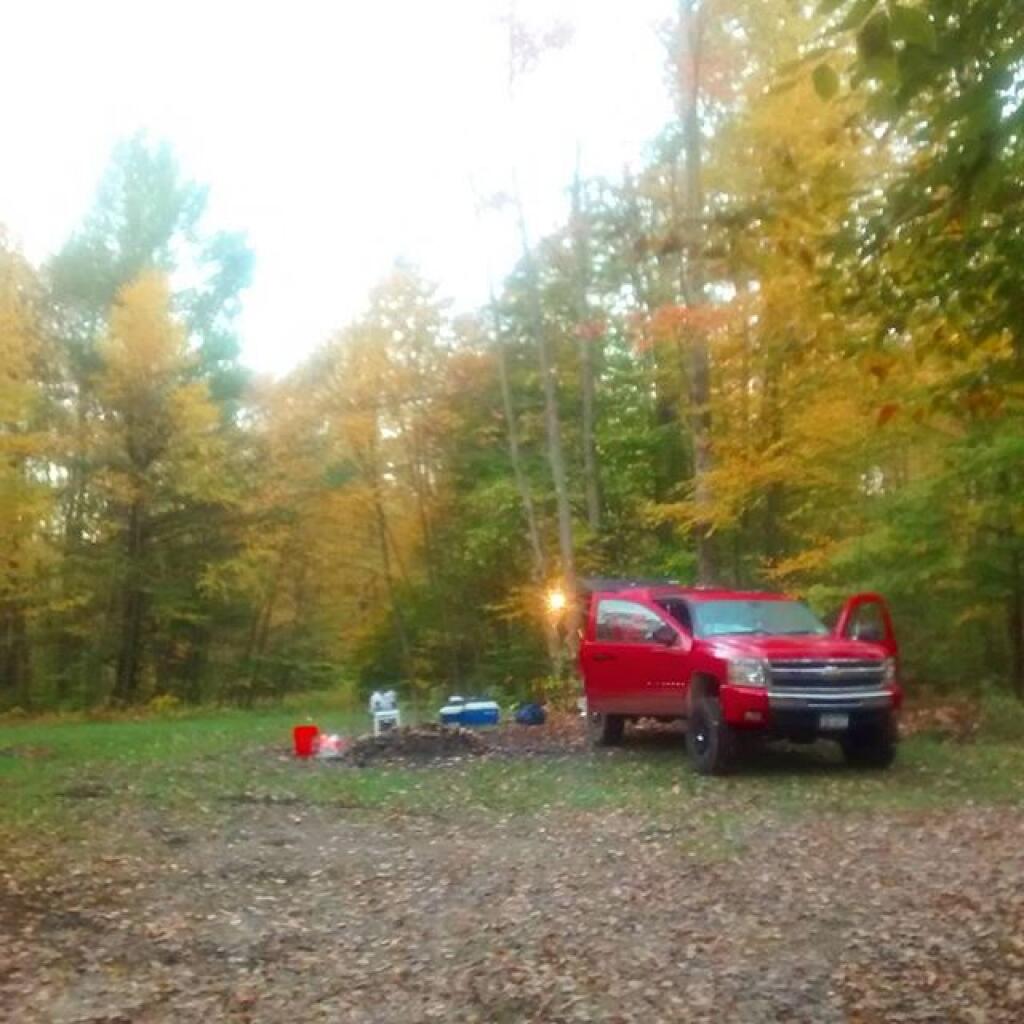
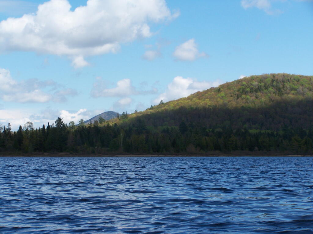
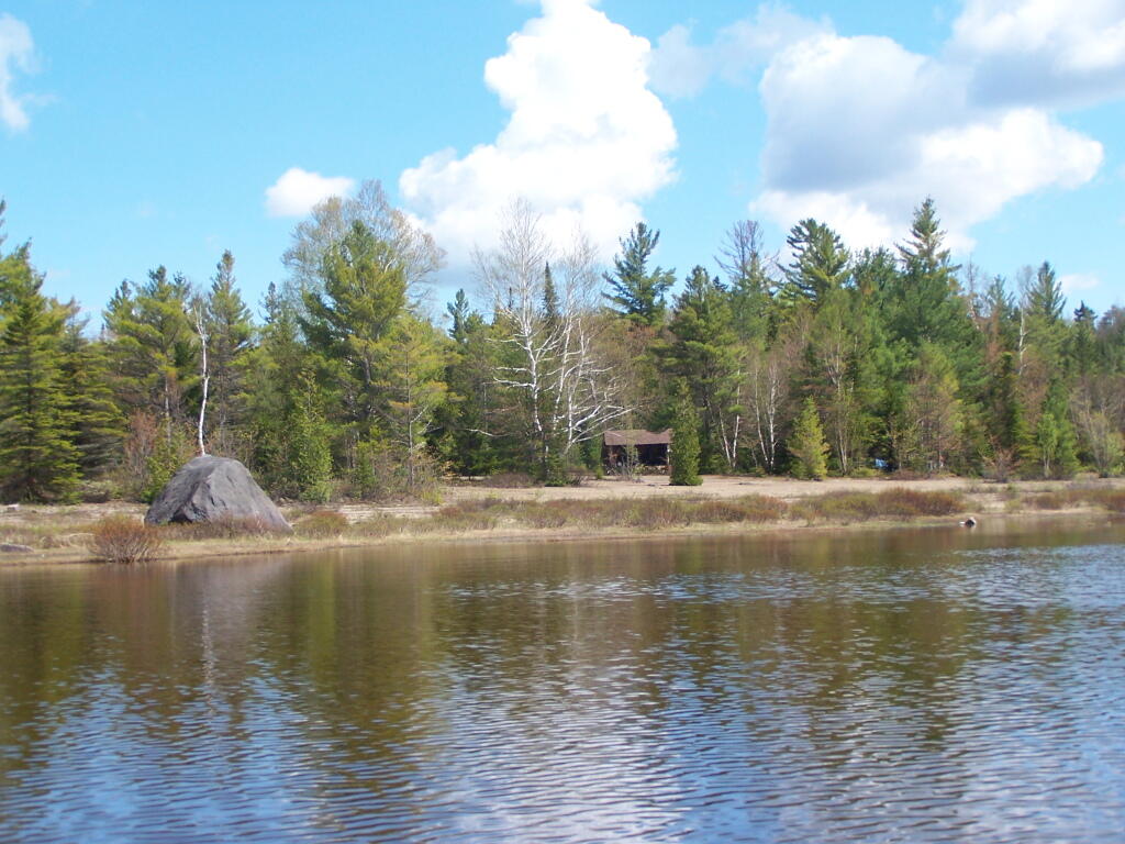
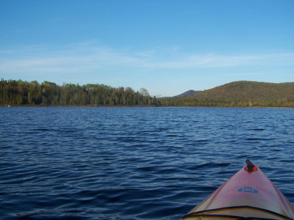
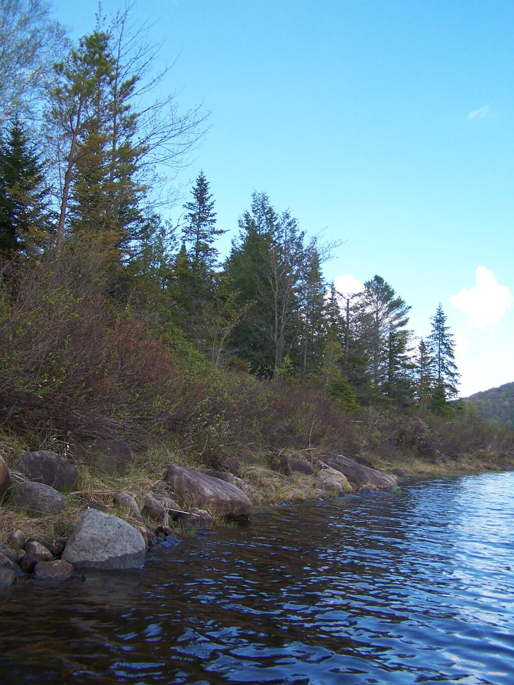
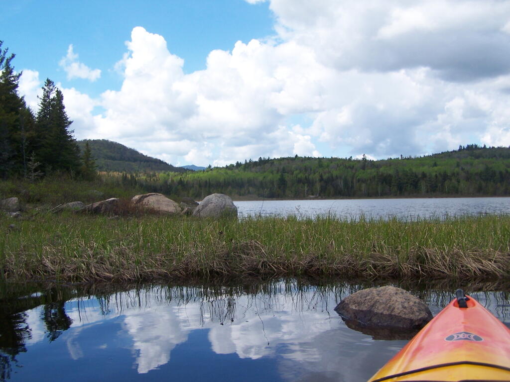
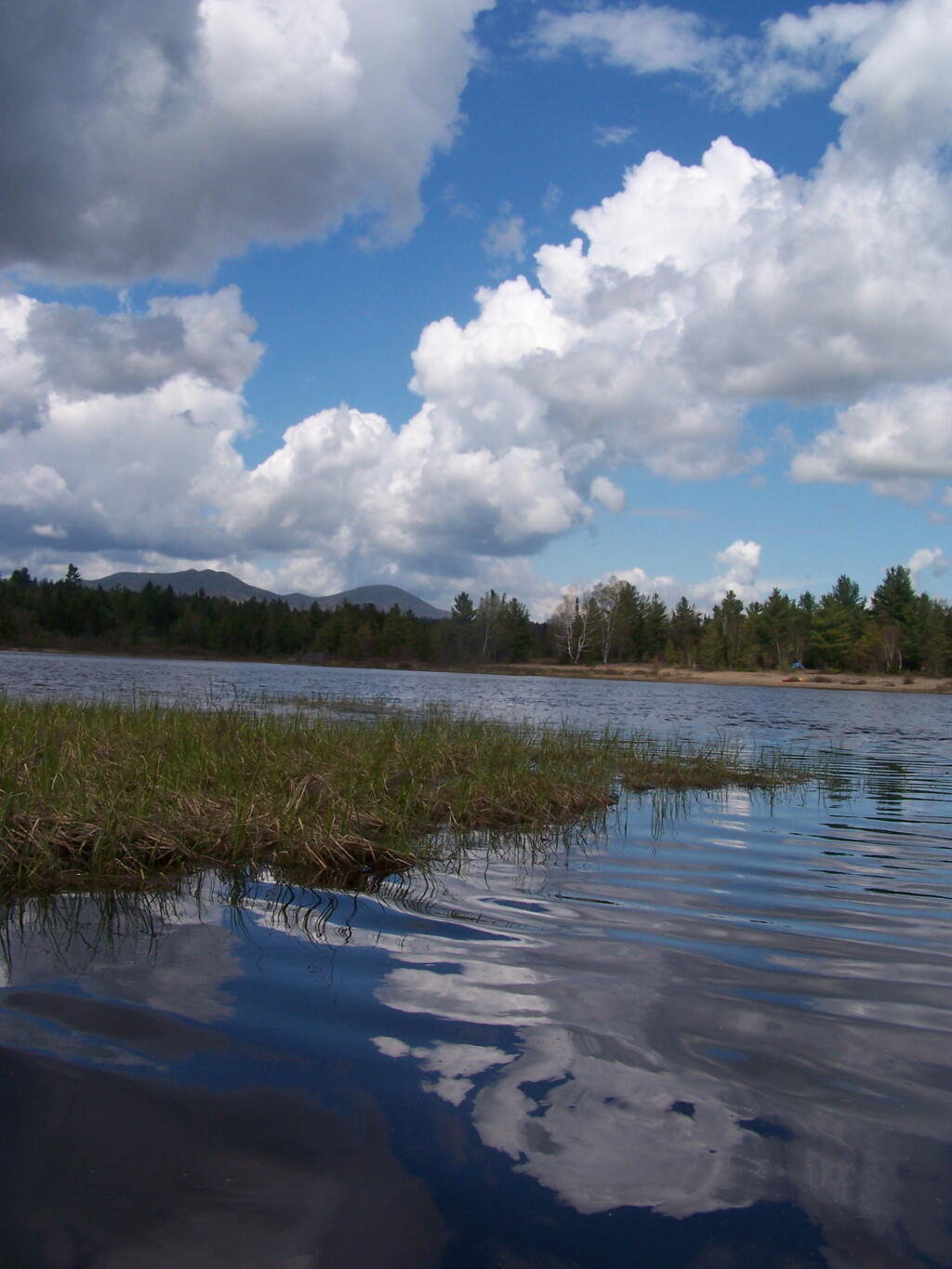
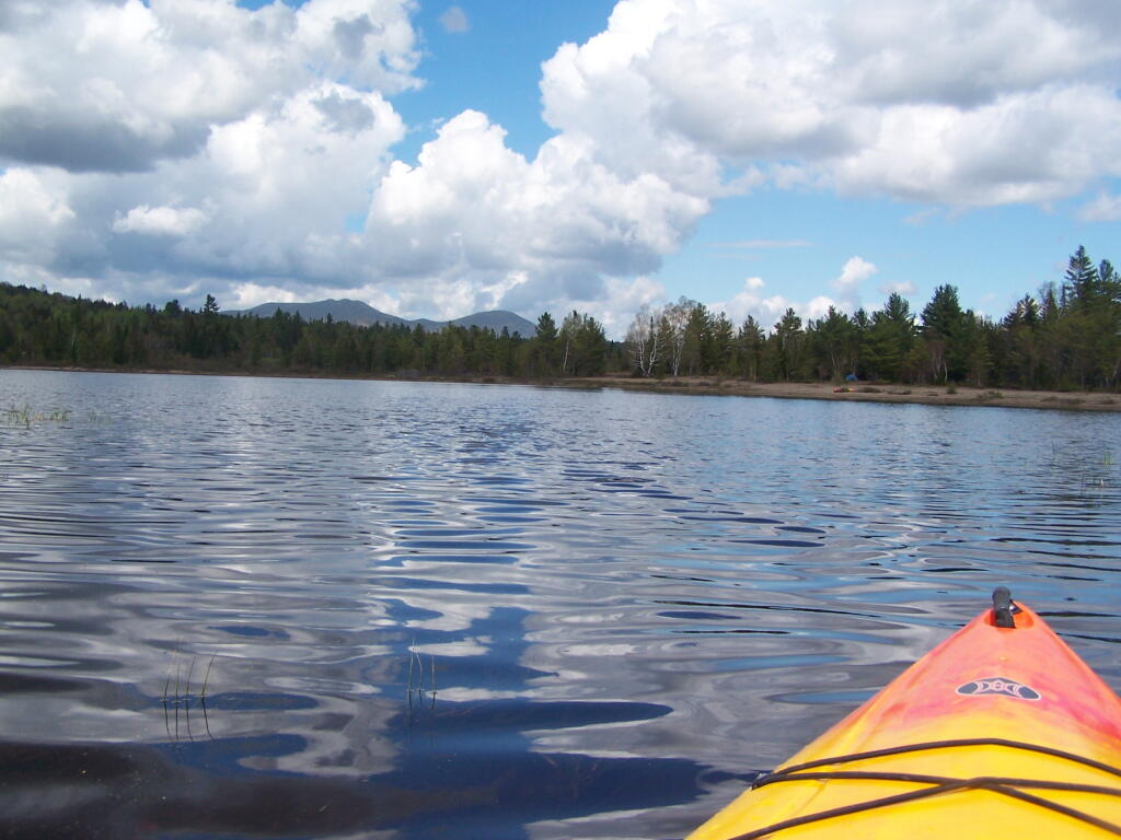
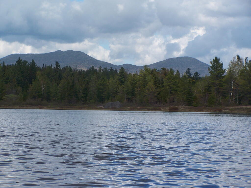
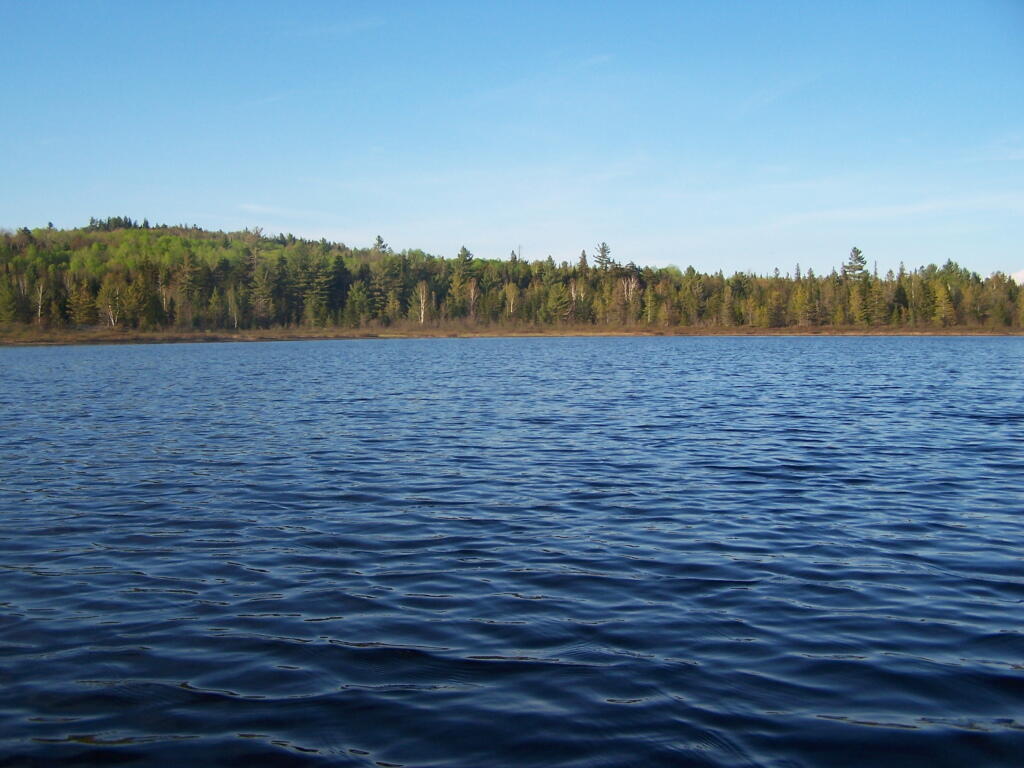
To get to Woodhull Lake, you have to take McKeever Road from NY 28 in McKeever (1/2 mile before it crosses the Moose River, then drive back about 6 miles on a dirt truck trail known as Wolf Lake Landing Road. You put in at Wolf Lakes Landing, which is named after one of the lakes that Woodhull Lake covered when it was dammed up to form a larger lake to provide water supply to the Erie Canal.
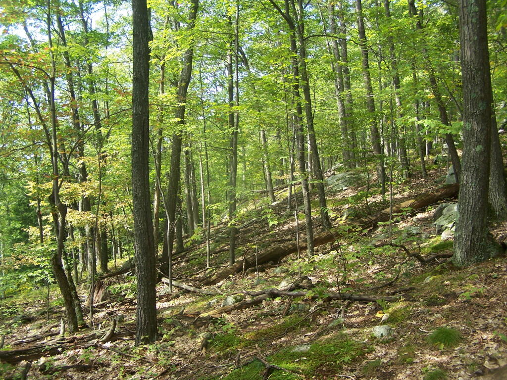
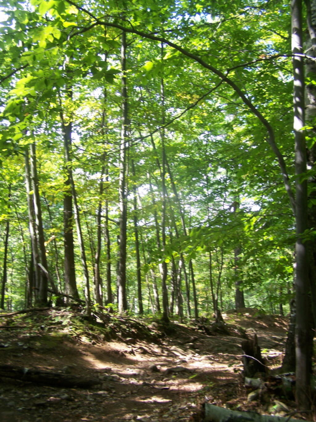
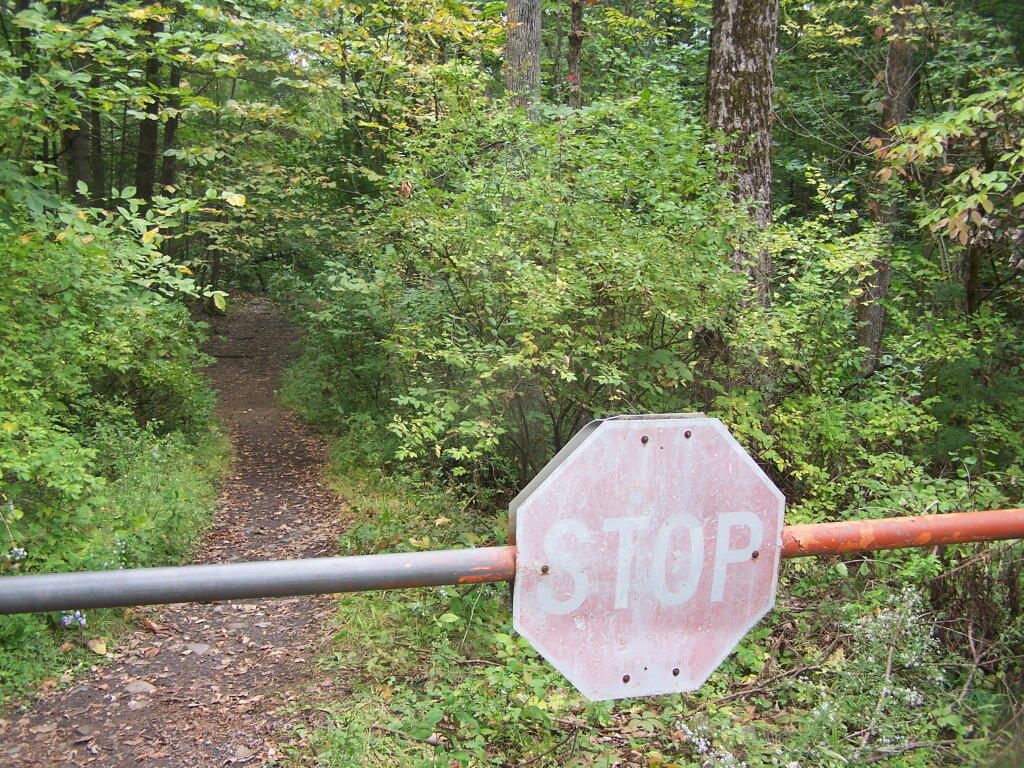
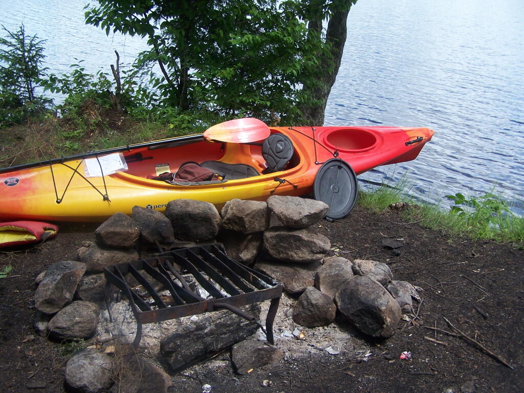
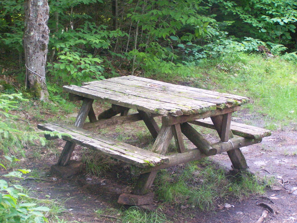
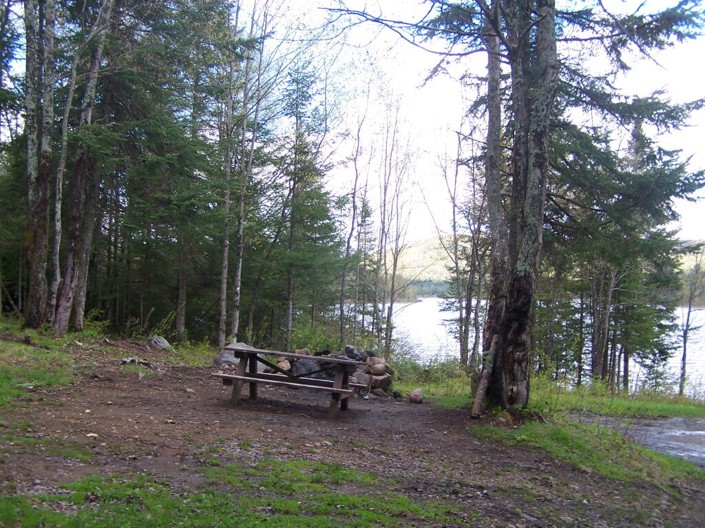
While the road is fairly well maintained one-lane gravel truck trail, one creek crossing is a bit eroded from the rains of 2011. There are roughly 6 designated roadside campsites along the road, with minimal to no facilities that you can camp at. You can drive all but an 1/8th of a mile up to Woodhull Lake, where the road is gated off, from there you have to carry your kayak or canoe to the lake on the gravel road. Consider using wheels on your kayak to assist on this portage.
Here is a map of Woodhull Lake. Consider clicking on it, for a high-resolution map that you can print up, put in a plastic bag and use on the trip like I did. It works really well like this, and I think this map prints out to be nice and high resolution, especially if you have a color printer.
As all park land (including local parks, county parks, state forests and forest preserve) in NY State belong to all of the people, it is important that they remain in the hands of the people, for all to use and enjoy for all times. Only under specific circumstances can government take park land away from the people, and when they do, they must always replace it with some of comparable or greater value.
Today’s fodder is an excerpt from the Alienation Handbook put out by Office of Parks, Recreation, and Historic Preservation.
The following have been determined by the courts to be alienations:
The conveyance, sale, or lease of municipal parkland or recreational facilities to another entity, such as an adjoining property owner, a developer, or a school district, which results in the facility no longer being used for public park and recreation purposes.
The lease of municipal park or recreational facilities even though the resource may continue to be used for public park and recreational purposes.
The use of parkland by a municipality for a non-park purpose, such as for a water filtration facility, a landfill, a museum, senior housing, temporary parking of police or municipal vehicles, or street construction.
Restricting to local residents the use of recreational facilities that had previously been open to all persons.
Failure to keep a public park or recreational facility equally open to the public. A public park or recreational facility must be open to the public on an equitable basis. Where availability of public facilities is limited, such as with ball fields or marina berths, the use of facilities should be determined by some method which gives everyone the same opportunity for access, such as assignment on a “first-come, first-served” basis, or by using a lottery system.
These are considered to be non-alienations:
The construction and subsequent issuance of a revocable license for the operation of a park facility such as a cafe, snack bar, parking, or for a boat rental service which serves park patrons in connection with their use of the park.
A revocable permit for the use of park facilities for a special program or function, such as an arts and crafts fair, or a permit of greater duration for the temporary use of park facilities which are not otherwise being used by the public. The permit should contain a provision that it may be revoked at-will by the municipality. A temporary use should not be allowed to lapse into a permanent one.
The operation of a public park or recreational facility by a private concern. A public park and recreational facility need not be operated by a public entity, but may be a facility operated by a private, profit-making concern on behalf of a municipality under a lease or license agreement. To remain a public facility, the agreement must serve a public purpose, and must not result in exclusively private use. Also, the use must be one that is compatible and appropriate for the park or recreational area in question.
Charging ìuse fees, as long as they are reasonable and non-discriminatory. Where use fees are charged, whether by a public or private operator, they should not be in excess of those charged for comparable facilities in the area. A municipality may charge persons who are not residents of the community higher fees than it charges to residents, but case law suggests that non-resident fees should not substantially exceed the comparable fees assessed to residents.
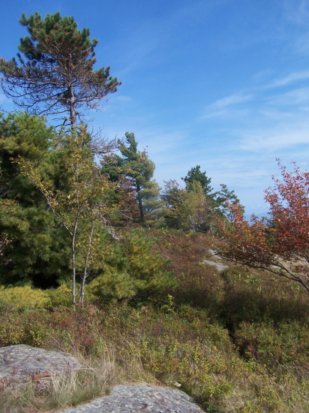
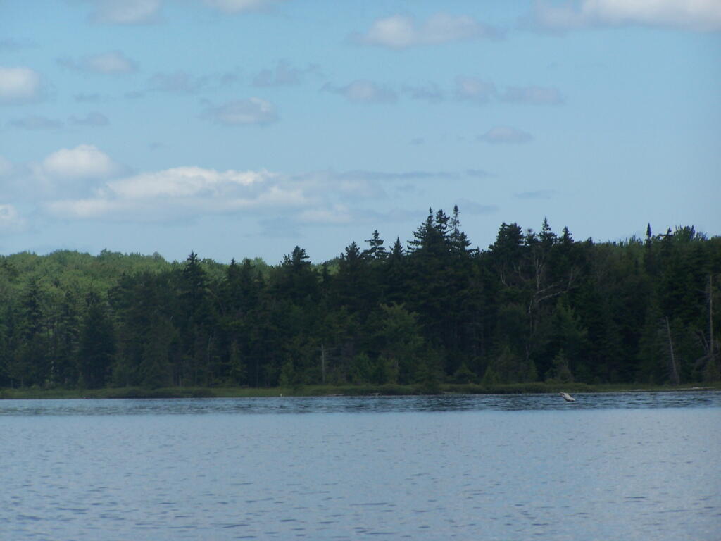
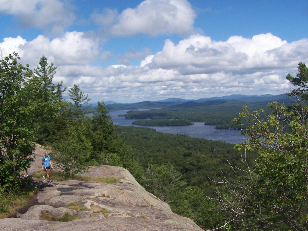
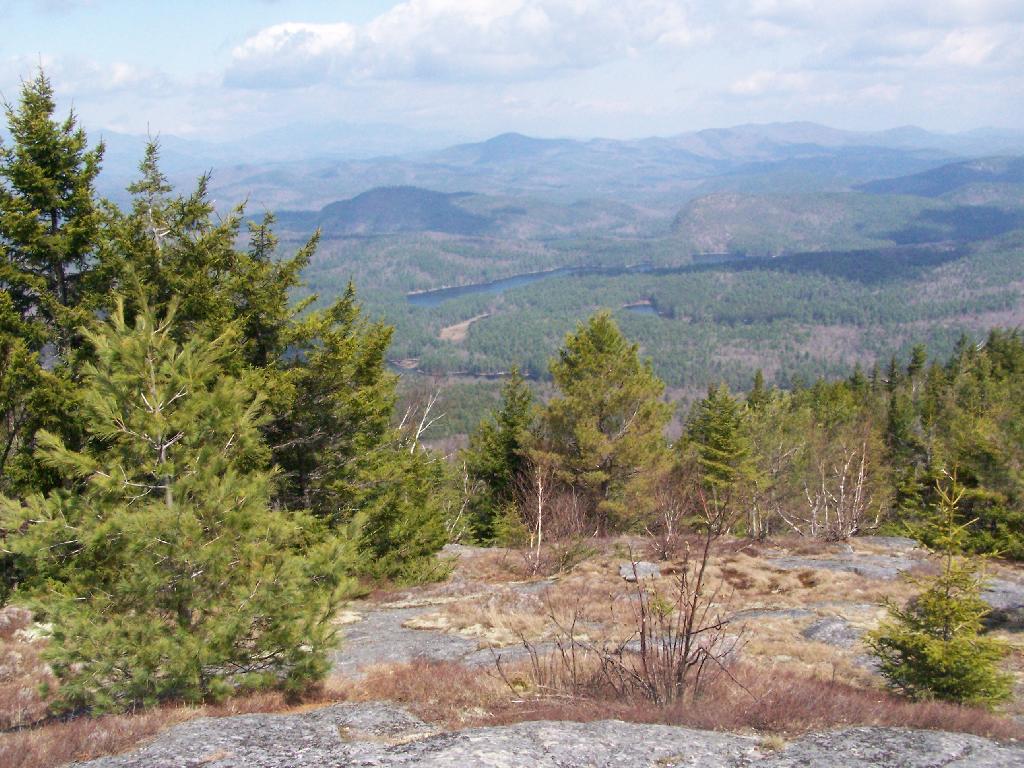
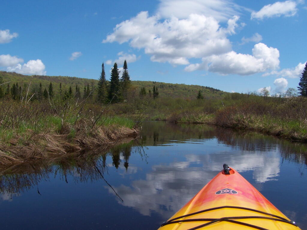
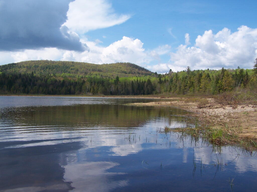
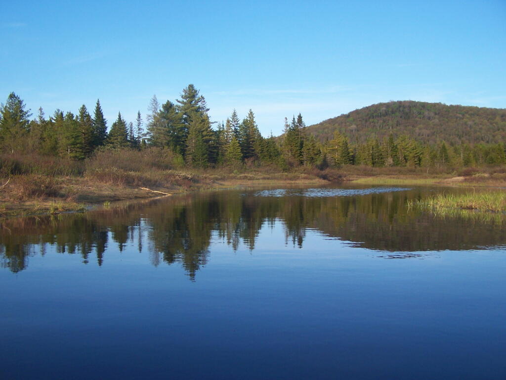
Cheney Pond Road is a dirt road off of Boreas Road, about 15 miles east of Newcomb. It is a rough road, with the pass year’s washouts, don’t try it without a truck. It will take you a rather pretty lake and damed up river you can paddle around.
Here is a printable map you can click to see full size then download.
And now down as Cheney Pond…
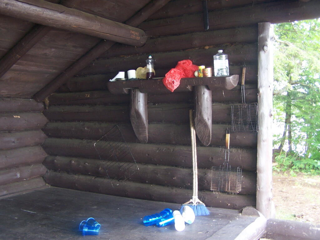
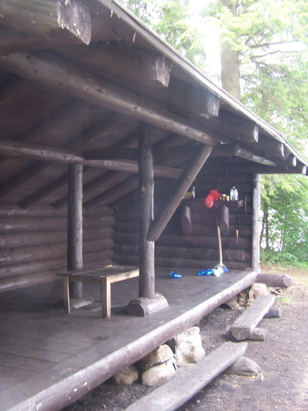
If you want to spend the night, you can roadside camp at a site with a picnic table and outhouse, tent camp at an “informal” campsite with a fire pit near the lean-to or camp in the lean-to. None of the campsites at Vanderwhacker Wild Forest have “Camp Here Disks”.
In the summer months I spend a lot of time reading down at the Town Park in the evenings. Recently with the coming of Earth Day and because it seems like energy is such a big issue these days, I have been reading a lot about Climate Change.
Kolbert’s book tries to bring home the message of the enormity of the problem that has been unleashed by the excessive concentration of carbon dioxide in the atmosphere. She gives several examples of her experiences on trips to see sea ice melting and climates changing, and how pronounced these problems are becoming in some locations. She writes in alarm about forces, largely masked by environmental inertia that threaten the well being of humans and the planet alike.
Most of the book is delightful stories about her experiences. She reserves the last chapter to pass judgment on the progress we as a country are making on climate change. By being non-judgmental and non-political in most of the book, she provides some insight on what is really happening now and what is likely to happen in the future. The last chapter is largely scornful of what she believes the lack of action on climate change, something she believes is a tragic mistake to face generations to come.
Her message is hopeful if not a bit cynical. She is realistic but pragmatic. She does make a good case for getting on a pathway of Climate Emissions Control, and doing something rather then ignoring the increasingly obvious consequences of what we as a global society have unleashed by the often uncontrolled and uncaring burning of fossil fuels.