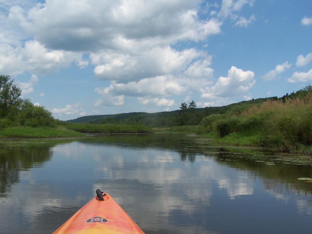
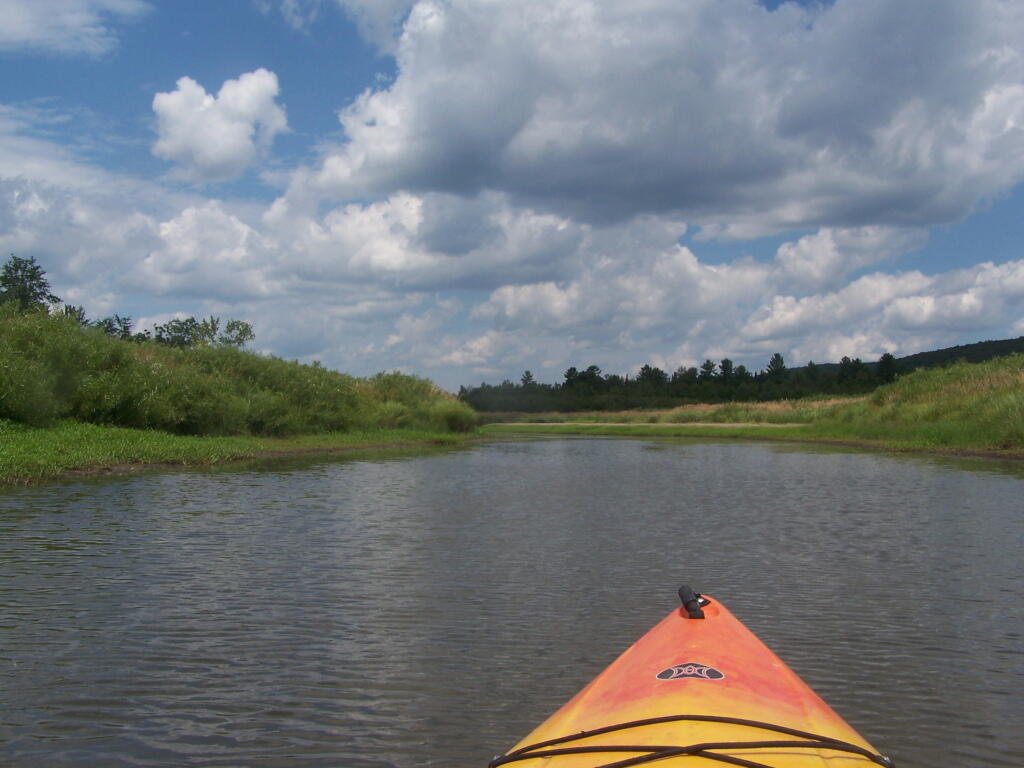
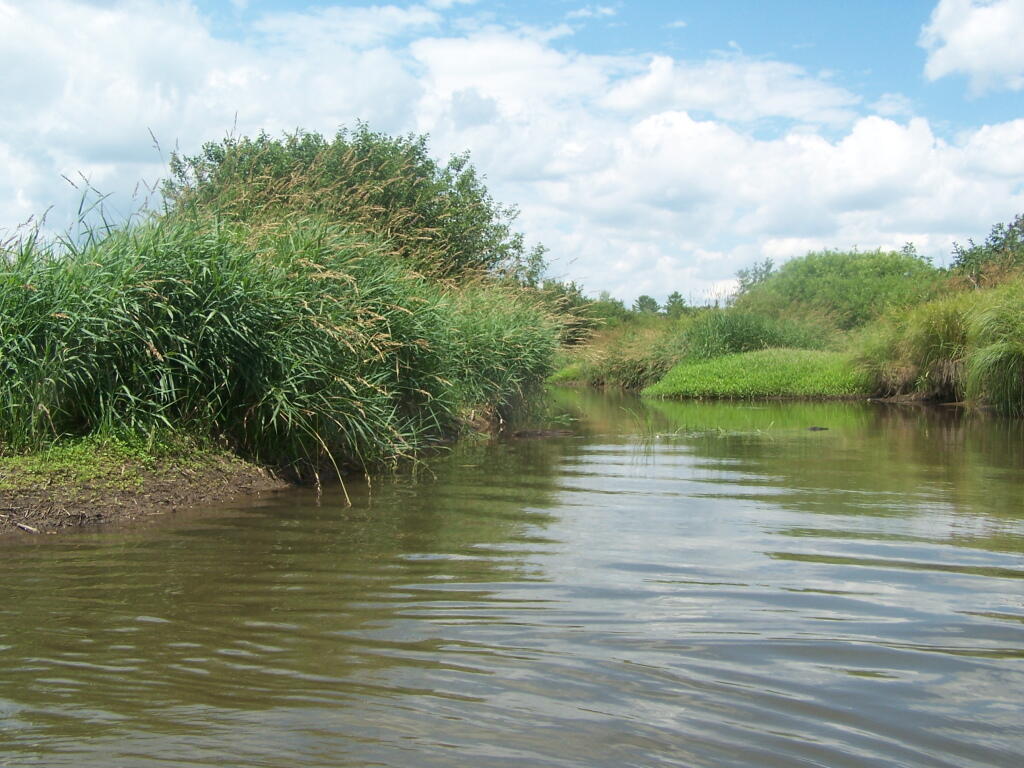
Where is a quiet place to kayak near Cedar Ridge and the Brookfield Horse Camp? Have you ever thought about kayaking the Beaver Creek, from Horse Trail 60 north until the end of the navigable waters?
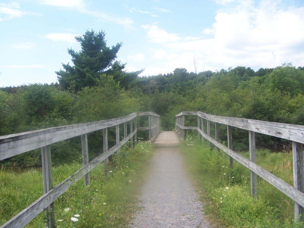
You take Fairgrounds Road north from Brookfield NY, until a first parking area on the left of the road. This is Horse Trail 60. It’s a short portage (1/8 mile) until you reach the bridge crossing the Beaver Creek.
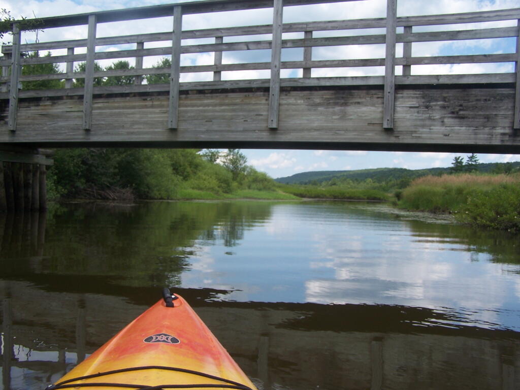
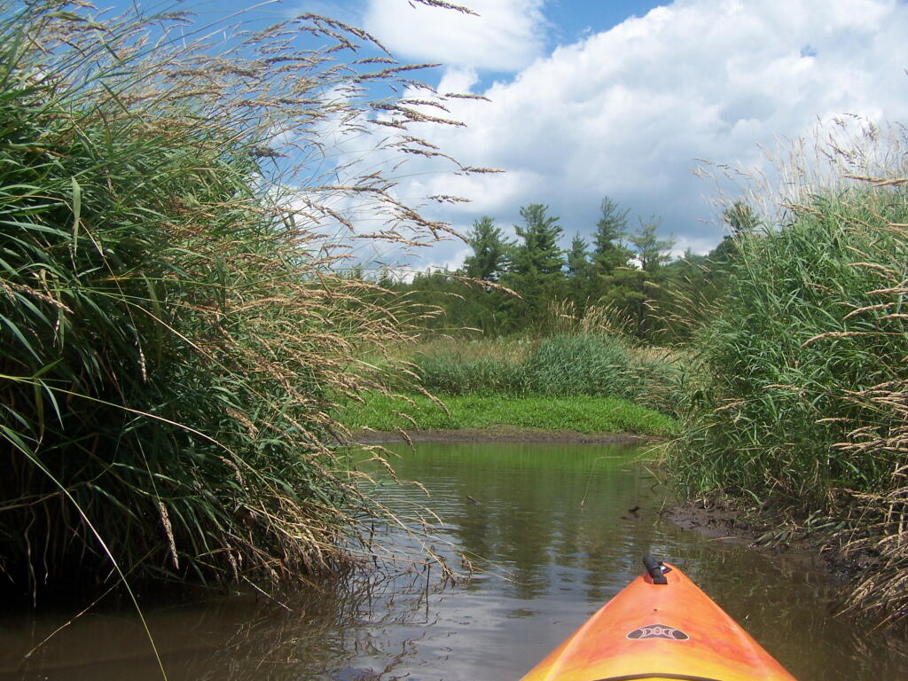
Put in the on the side of this bridge. I did from the east side, through the marshy ground, but you could portage over the horse bridge, then put on the west side, and avoid the marshy ground.
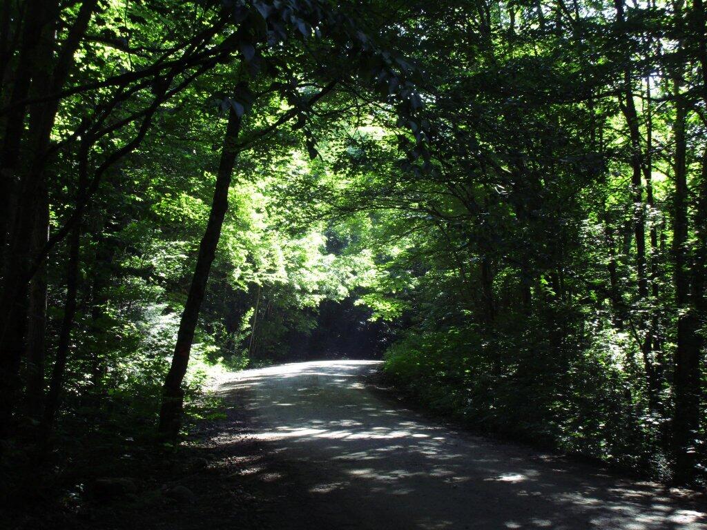
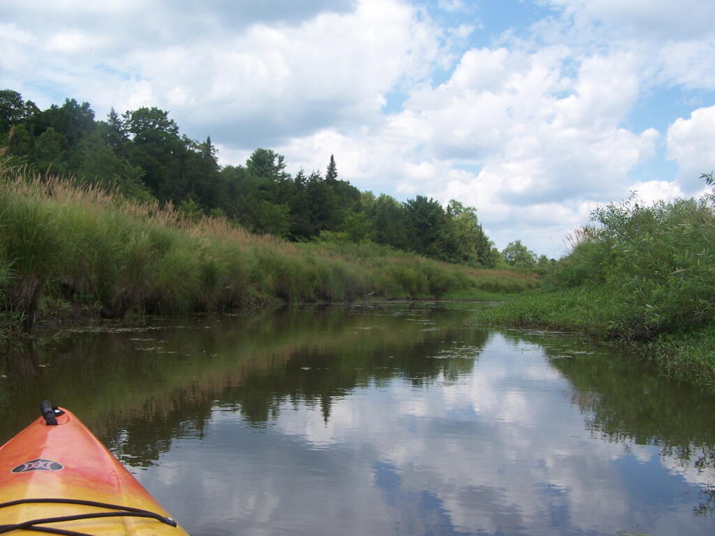
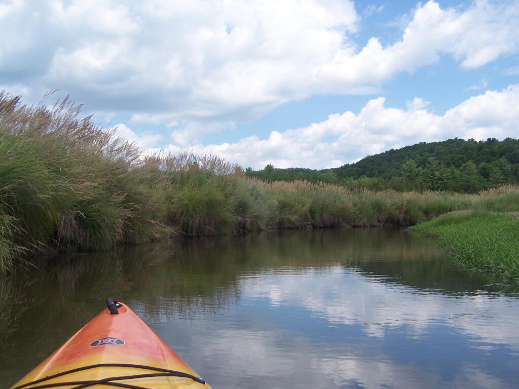
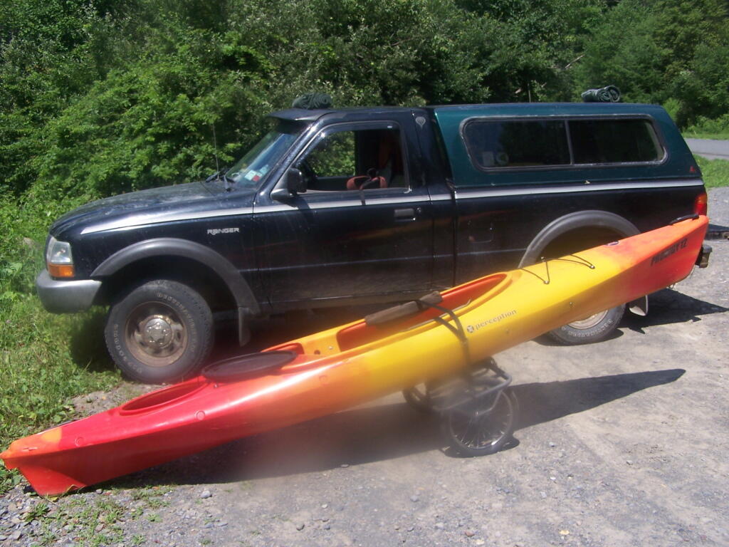
Having a good set of wheels means you won’t have to carry your kayak, but make sure not to drag it on the gravel to avoid wearing holes in your kayak, as I learned earlier this summer.
This is a delightful little trip. Do drive the Charles Baker Auto tour, or hike some of the many trails in the area…
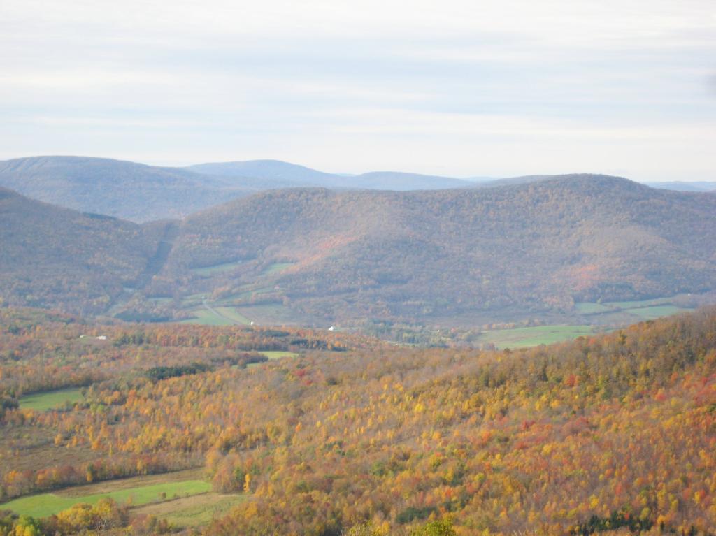
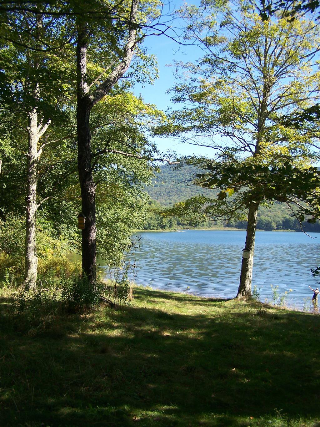
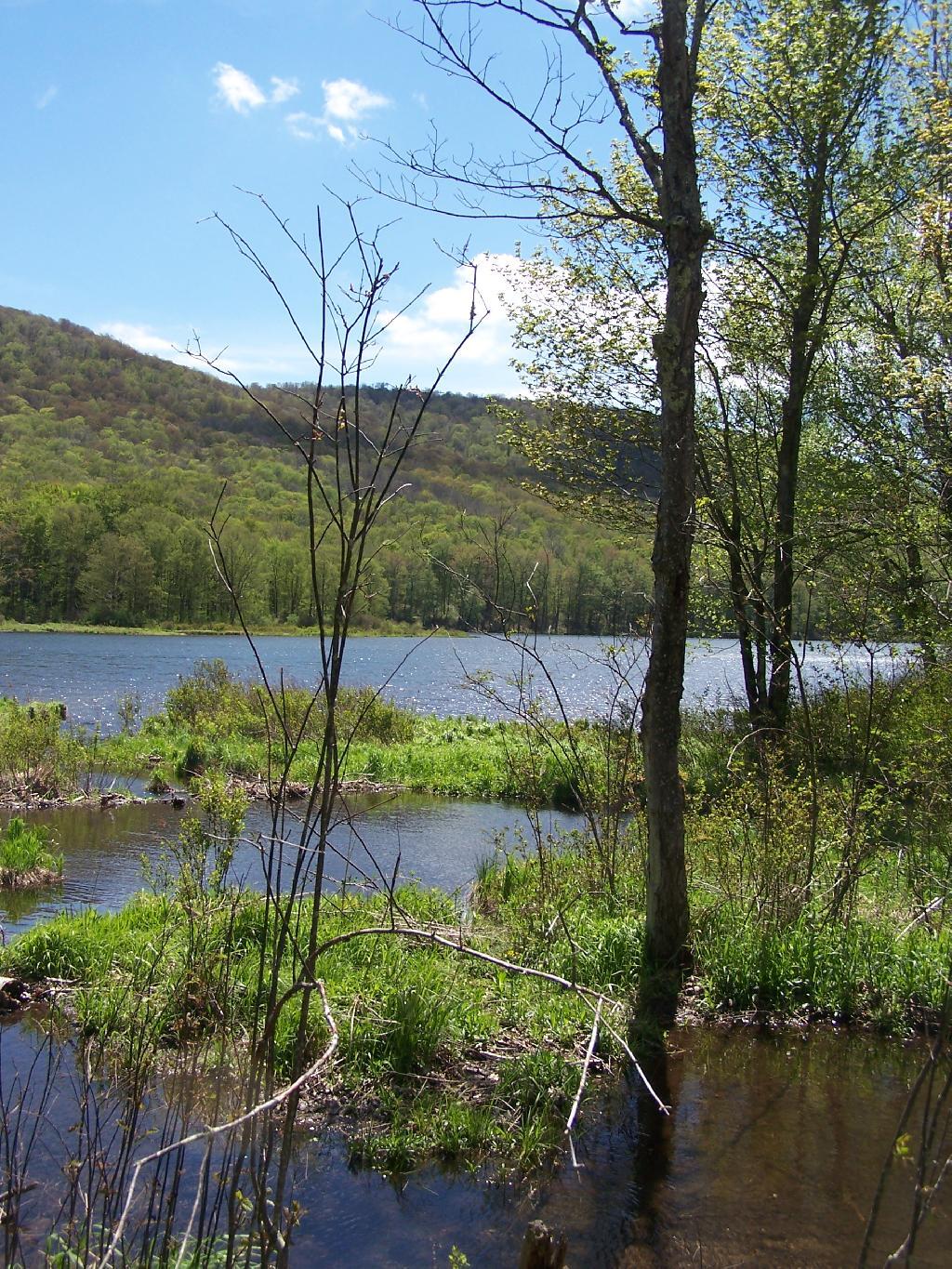
Big Pond is one of the two larger ponds in the Catskills accessible to the public. Located in the Western Catskills, near Alder Pond, it has eight paddle in or hike in tent sites, and some pretty views. I spent the night camping up there on August 27.
Night is Creeping Up on Me. I didn’t realize how quickly it got late at Big Pond, and I had even started dinner. To make matters worst, my white-gas lantern wouldn’t start, so I had to do everything by flash light.
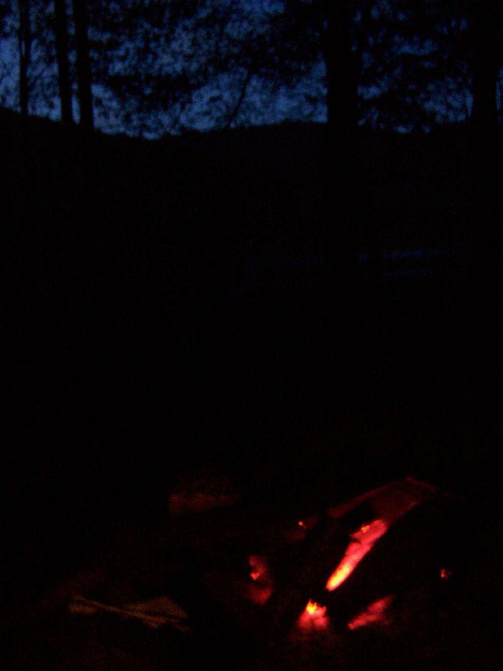
Dark Night Before the Moonrose. All you can see is by the light of the campfire. I didn’t have a lantern, because it refused to start.
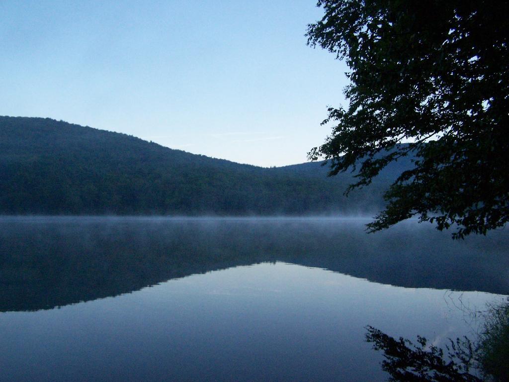
Waking Up at Big Pond. Looking out the window of tent prior to dawn, with a little smoke from the fire still smoldering, and lots of fog.
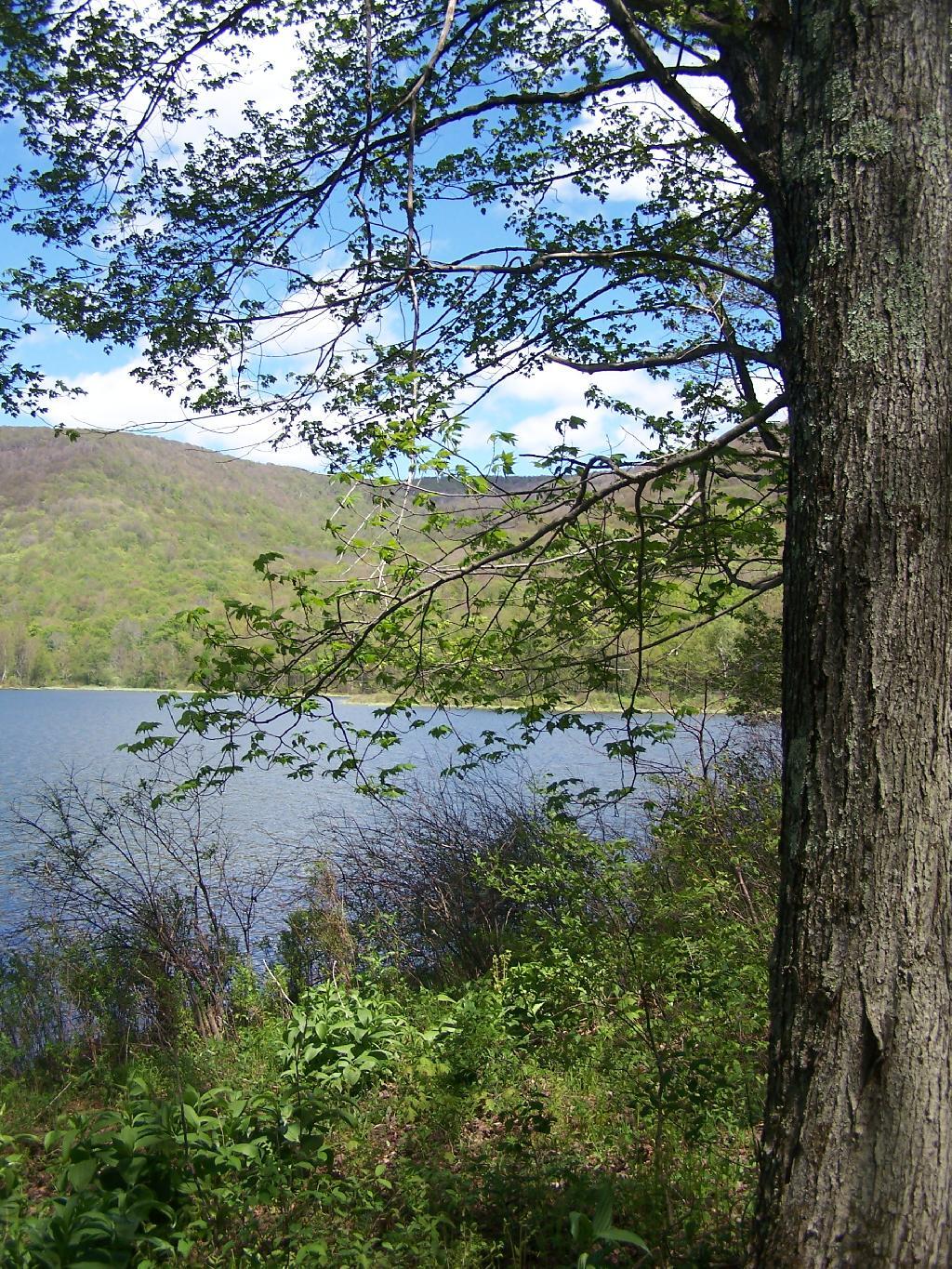
Pond Prior to Sunrise. The fog rises above the pond. It looks perfect for taking photos, so I decide to hop in the kayak, and go for a paddle.
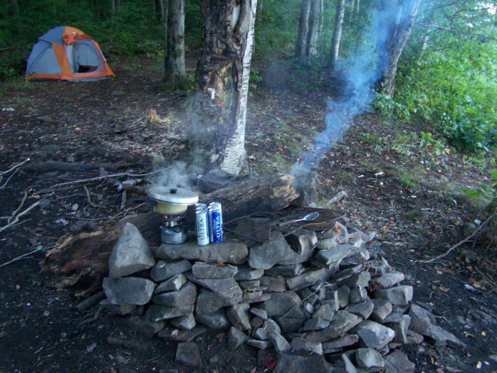
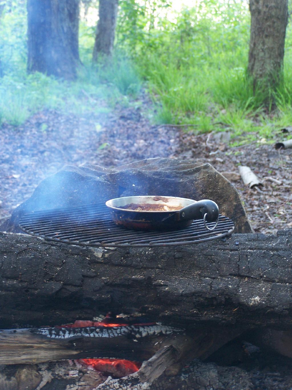
Campsite. Yes, the beer cans are empty, and I am using that pot to boil water for coffee, because I left the coffee pot in the truck. I doesn’t matter much because I use a coffee press to make the actual coffee.
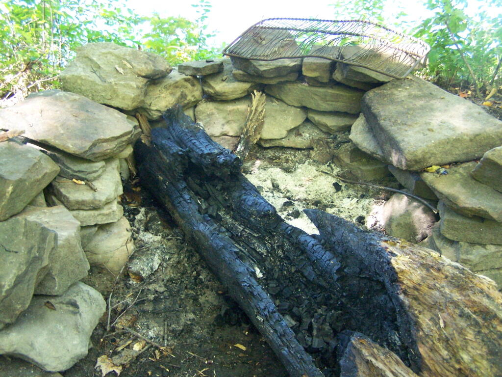
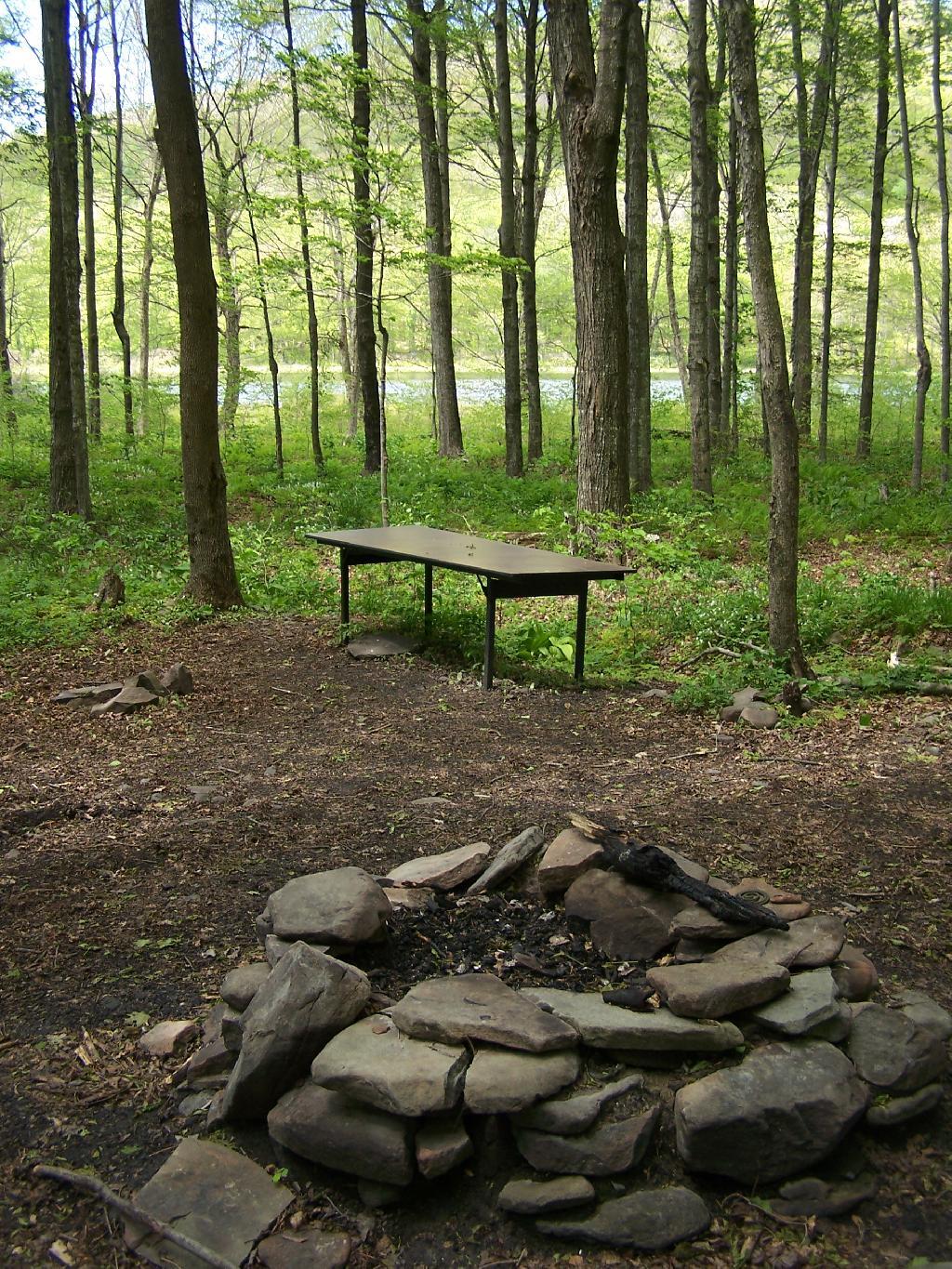
Firepit. This is while I’m making coffee and getting ready for the day.
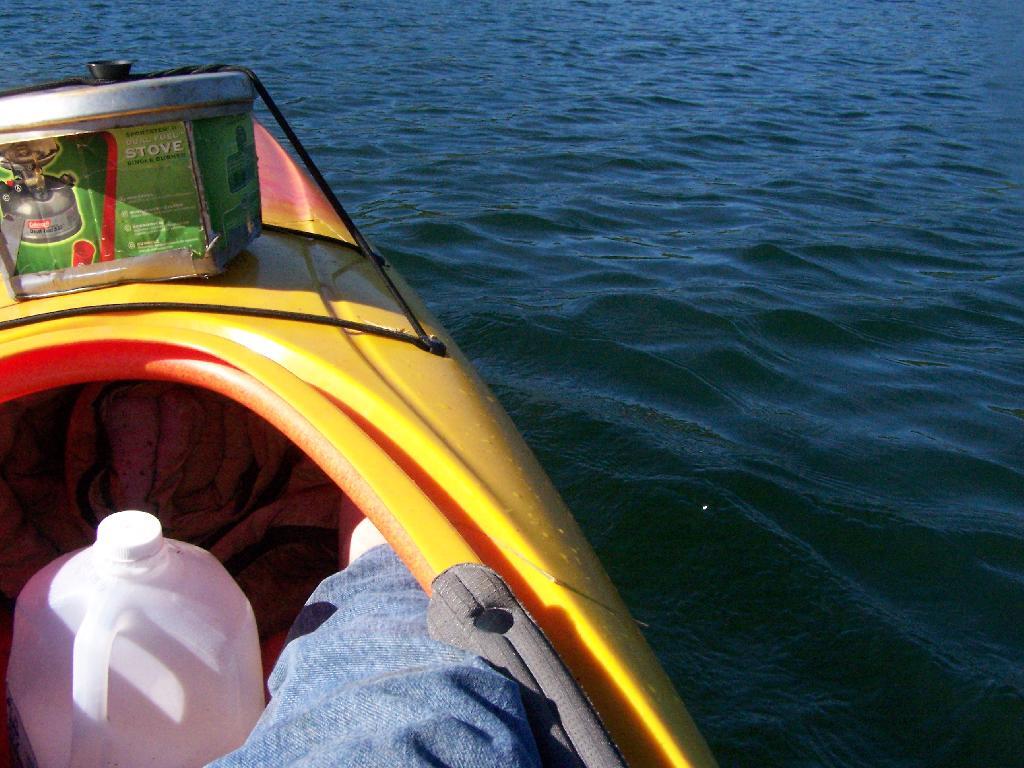
Paddling Gear Back. With all the camping gear in the kayak, or most of it, including the stove and pot top on the deck. The kayak rode well with all the gear.
Big Pond from Parking Area. It certainly was quite pretty out there, and a great unguarded swimming beach that was packed with people.
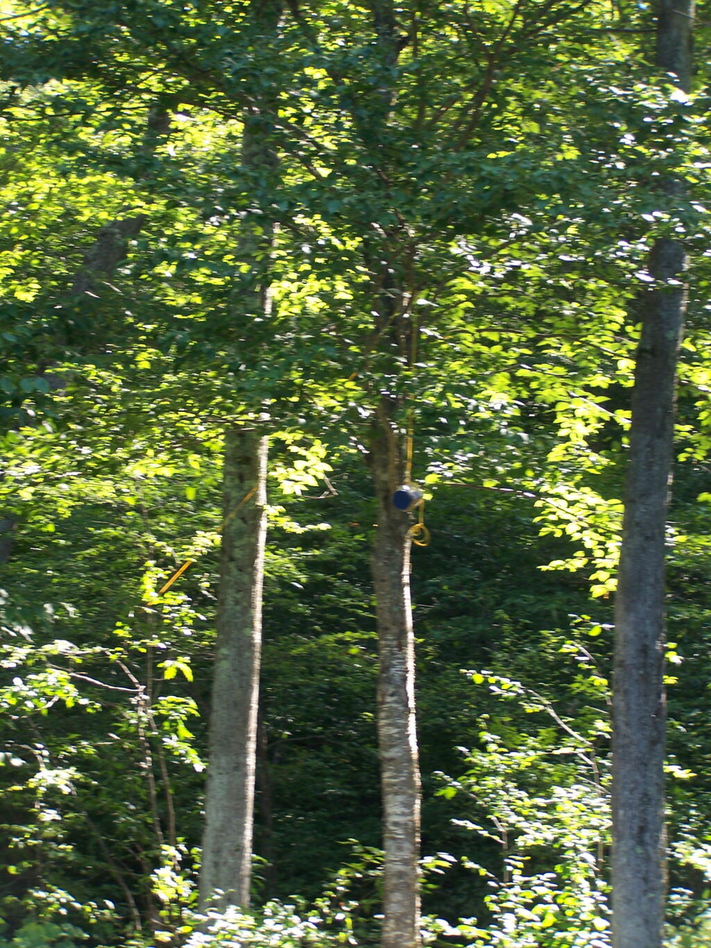
Bear Bag. Actually it was a peanut can, with cookies and other things. And despite the bear coming through, he left my site alone, and didn’t even try to get the bear bag that was about 12-13 feet off the ground, suspended from a limb, and 10 feet plus from the tree where it hung.
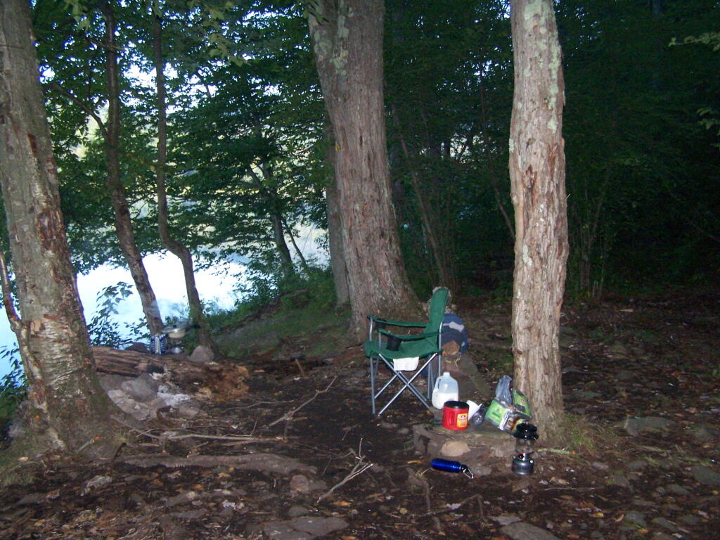
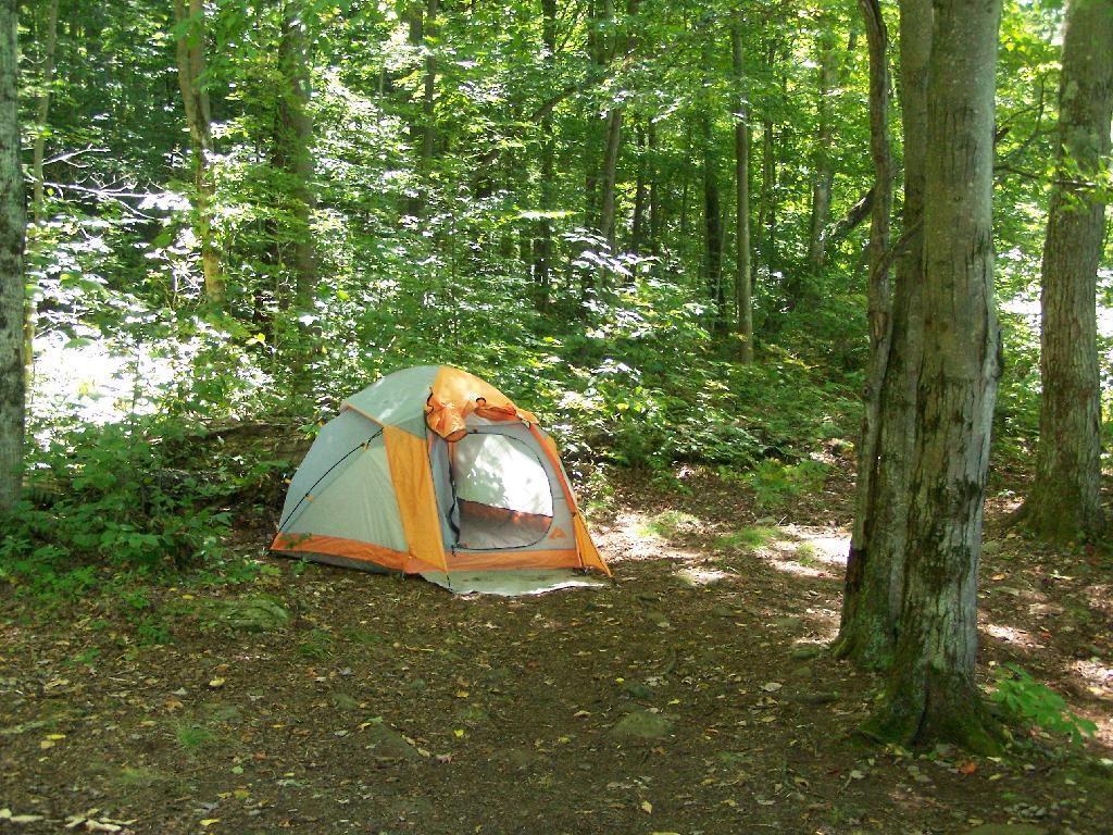
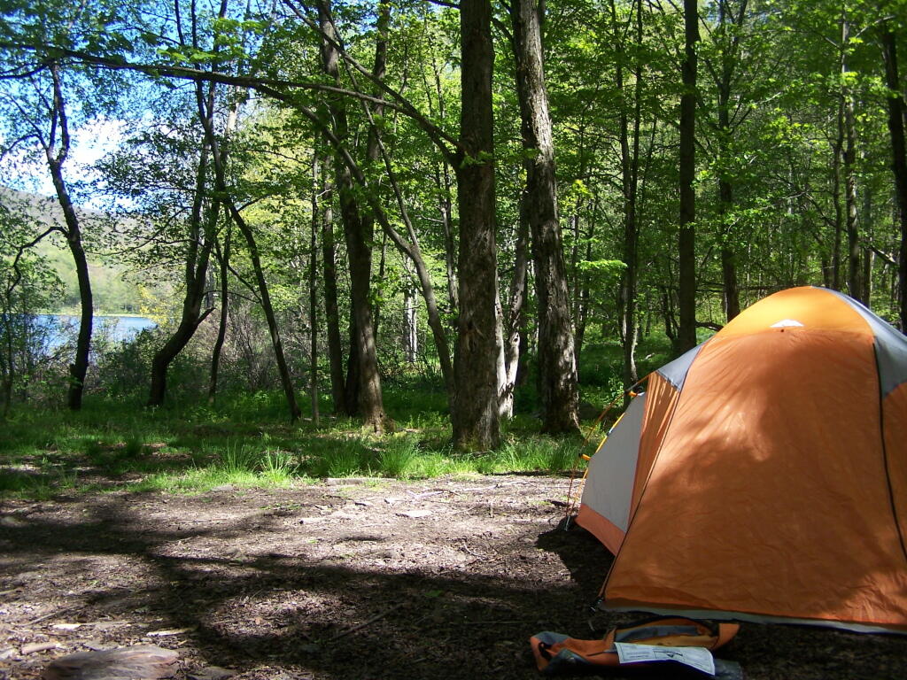
Tent. Yes, occasionally I will sleep in a tent. This actually is the second time I’ve slept in a tent this year. One other time I slept in a lean-to and the rest has been truck camping.
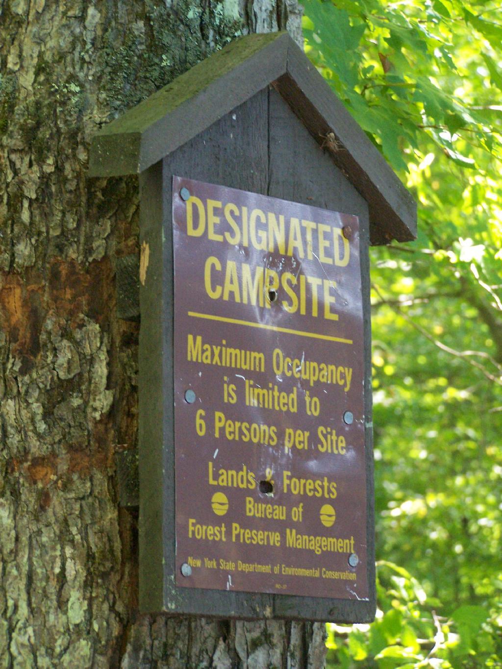
Designated Campsite. This is one of eight designated campsites around Big Pond. They are free to use, but are limited to 6 people, and you can only stay at one site for 3 nights without a permit.
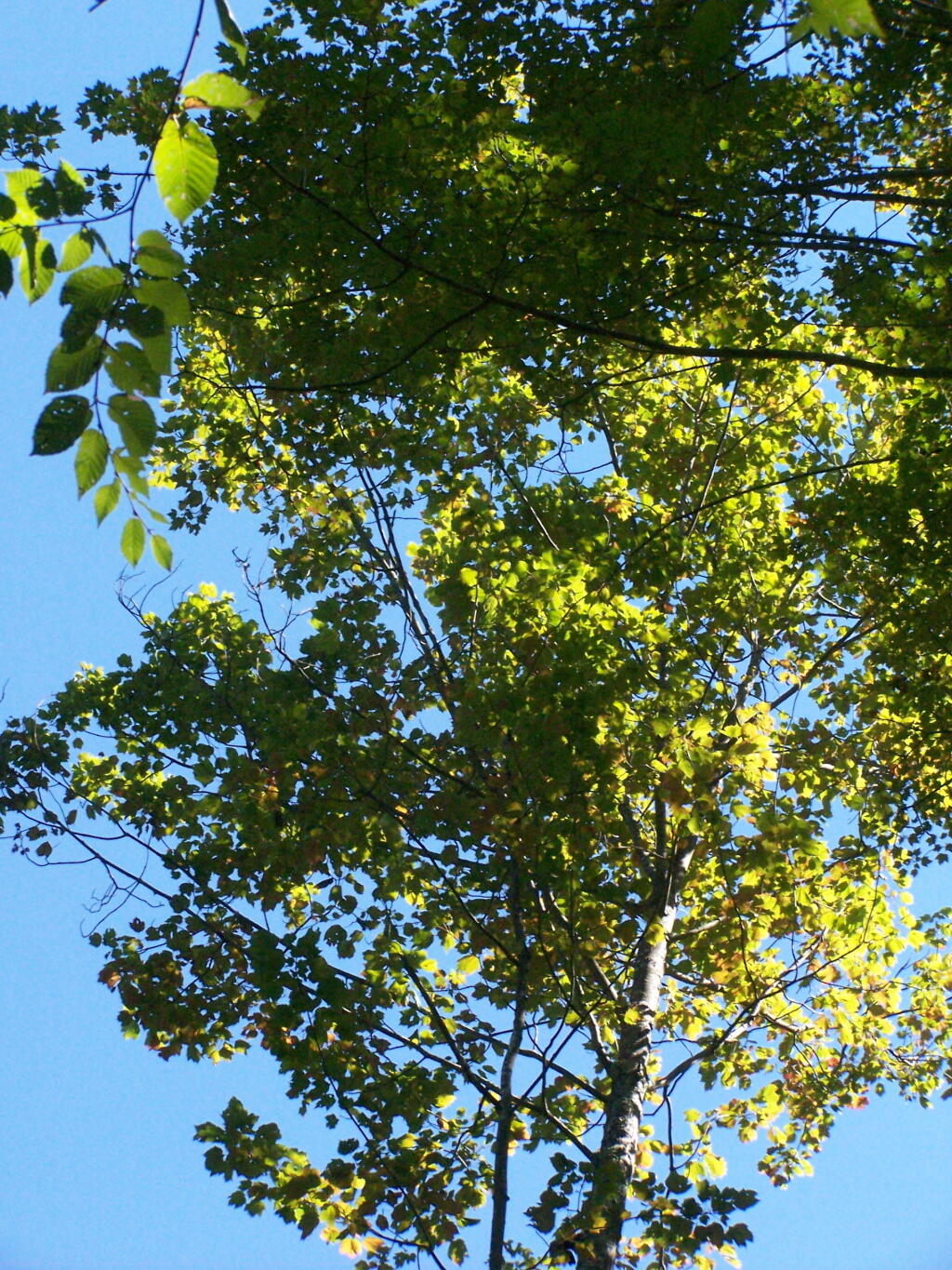
Looking Up at the Ash Trees. I was looking up at all the ash trees around the lake, and realizing that within 20-30 years they will all be gone. The maples will most likely replace them, but they also risk the Asian Longhorn Beetle.
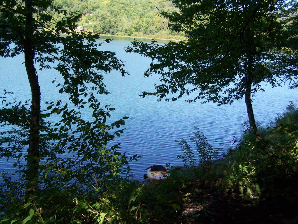
Parked at Campsite. It was a pretty blue lake in the morning.
Finally Put That Smoldering Log Out. Remind me again, never to use a big punky old log like that in a campfire. It took a ton of water and rubbing the coals to get them to snuff out.
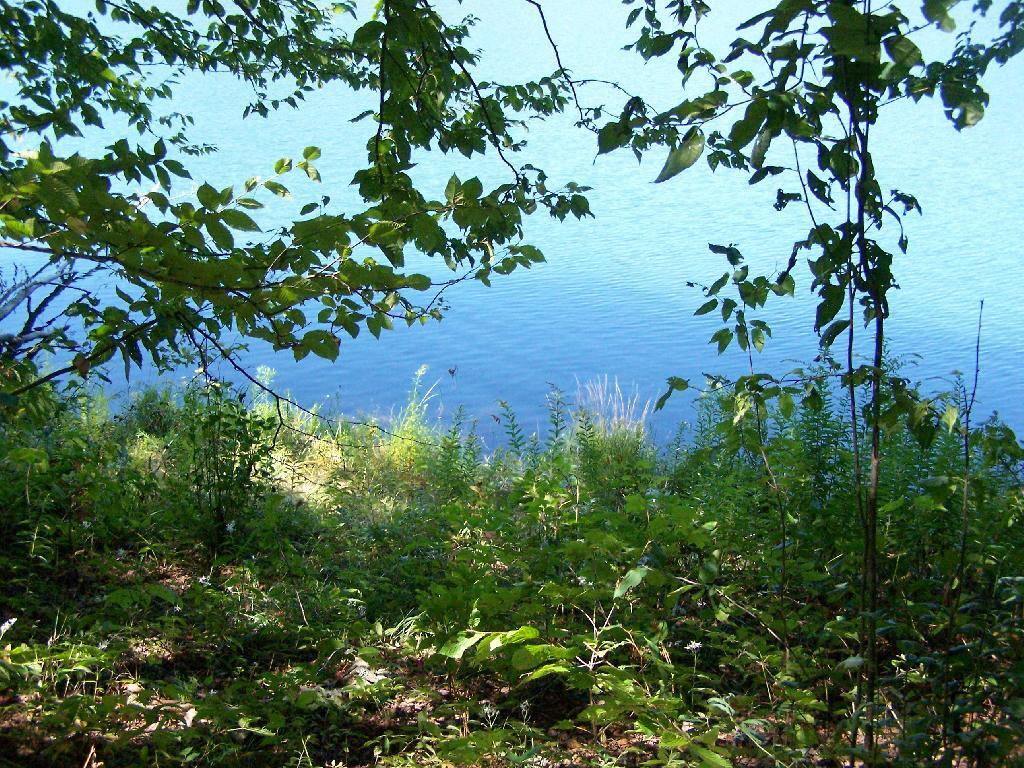
Blue and Green. I just liked this view from the campsite.
In the western Catskill Mountains, near Margretville and the Pepacton Reservior is Alder Lake, and old resort lake that is now State Forest, and offers primitive camping around the lake. It is backpack only in, however it is a short walk from the parking area to the approximately 7 designated primitive campsites around the lake.
The 77-acre man-made lake, is handsomely surrounded by a high mountains of the Mill Brook Range, and other unnamed mountains. It is a 6-mile hike to the east to get to Balsam Mountain, home of a fire tower.
Setting up my tent at one of the campsites.
The 1.5 mile trail around the lake has several interesting views of the lake.
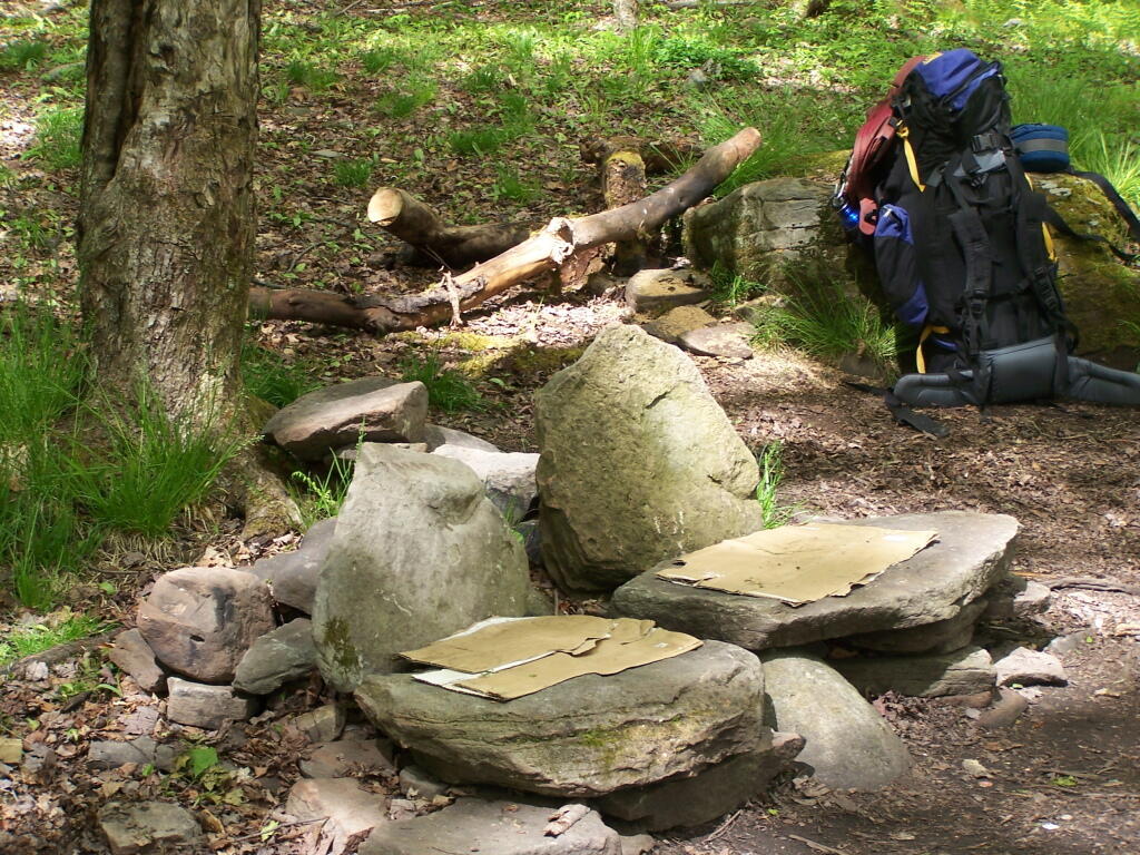
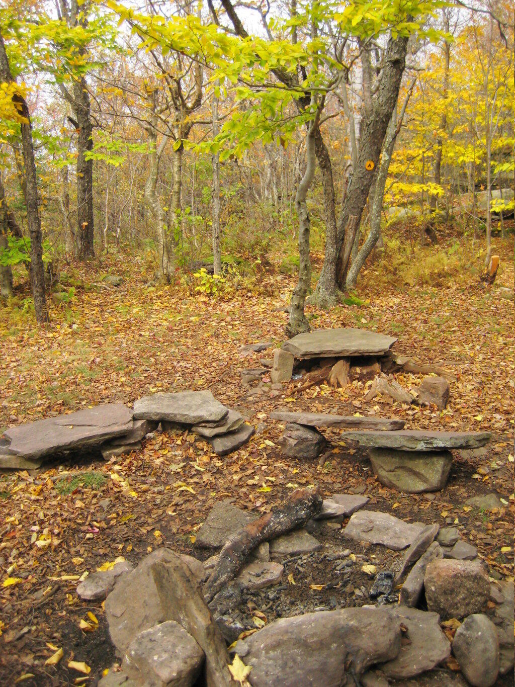
Several of the campsites have stone chairs, and other things made out of natural products.
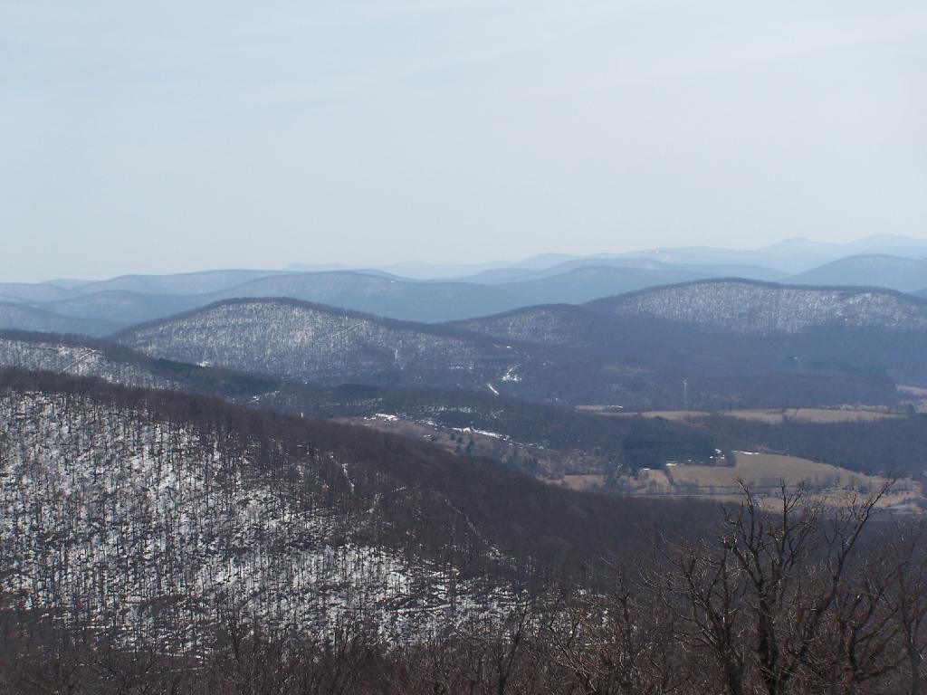
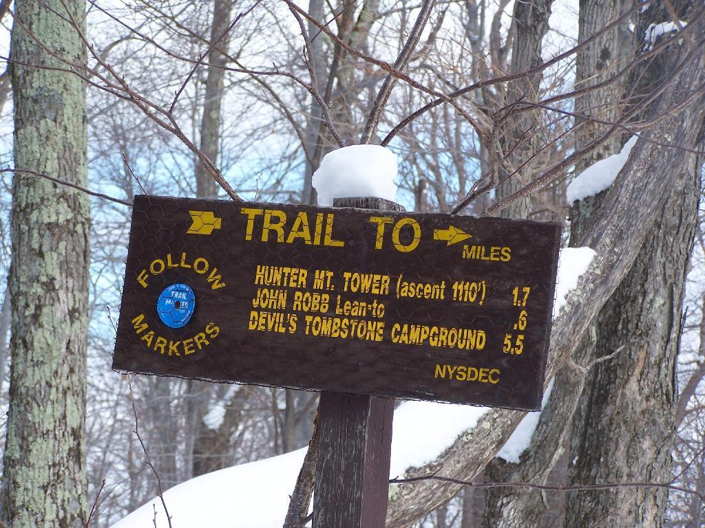
On Sunday, February 21, 2010 I got up at 5 AM and started out on the Spruceton Horse Trail to Hunter Mountain around 8 AM. Previously I went up Hunter Mountain using the much steeper Mink Hollow Trail, which in a couple of parts would be challenging to snowshoe for a novice like myself. The Spruceton Trail is 3.5 miles and an accent of 1,900 feet versus Mink Hollow Trail at 2.1 miles and 2,200 feet accent.
Here I am starting up the mountain, with trail-less high peak Rusk Mountain in the distance.
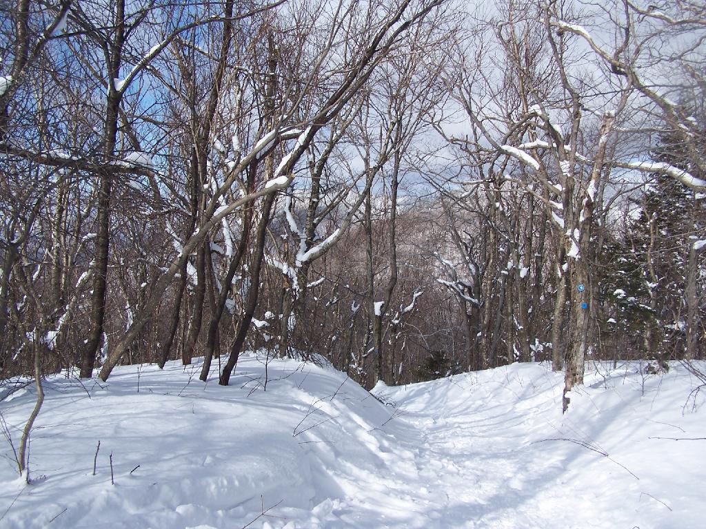
The Old Hunter Road (abandoned 1937) is straight, wide, and modest ascent. With the sun rising, I had issues with snow blindness, but it offered some interesting broken views of West Kill Mountain in the background.
About half-way up the Mountain, you reach the “saddle” between Rusk and Hunter Mountain. After snowshoeing for a little over an hour, with this sign telling you there is 1.7 miles to go, an accent of 1,100 feet is a bit discouraging, but so be it.
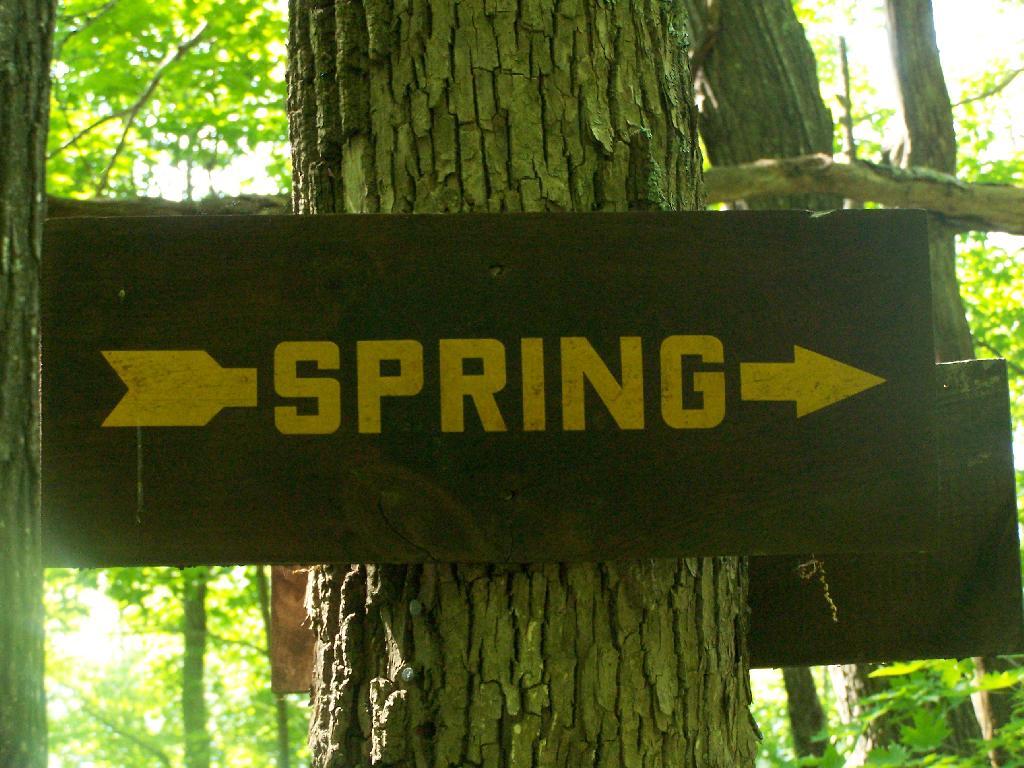
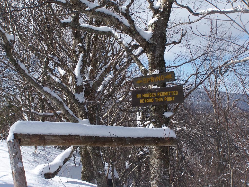
After about 2 hours of snowshoeing I reached the spring. The past half hour of hiking, from the saddle up to the spring, may not be a long distance at 1/2 mile, it is a vigrous but not not steep 500 foot ascent by an old but wide abandoned truck trail.
The AMC’s Best Day Hikes in the Catskills and Hudson Valley suggests that one has to be careful with drinking out of this spring, because thirsty horseback riders sometimes bring their horses back to give them a drink too, ignoring the sign.
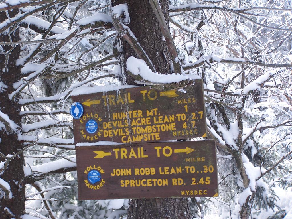
From the Lean To, it’s approximately 1 mile to the Hunter Fire Tower. The next mile is either flat or a slight ascent, until you reach the last 1/4 mile of the trail where is ascent quickly with switchbacks, but again, not steeply.
Finally after about 4 1/2 hours of snowshoeing (including breaks and taking photos), I reached the Hunter Mountain Fire Tower. By now it had clouded up, and it reminds one of a picture out of a movie.
It felt good to get the snowshoes off, stop, and have some lunch for an extended break.
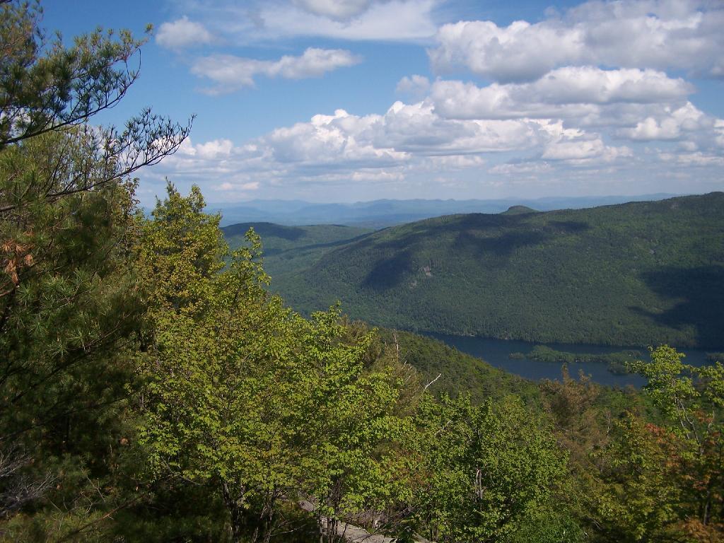
Looking North off the Fire Tower towards the Catskills famous TriMount-range aka Thomas Cole, Black Dome, and Black Head Mountains.
To the due east one can see Catskill’s Sunset Point, the upper Hudson Valley near Catskill, and in the distance, the Taconics, including the other Sunset Point in the Taconic State Park.
It was frigid on the fire tower with the winds blowing. Off the tower it wasn’t quite so bad. After spending a little time relaxing at the picnic table, and putting another layer of clothes on, I headed south along the blue trail to the Hunter Mountain Overlook which overlooks the South-Western Catskills.
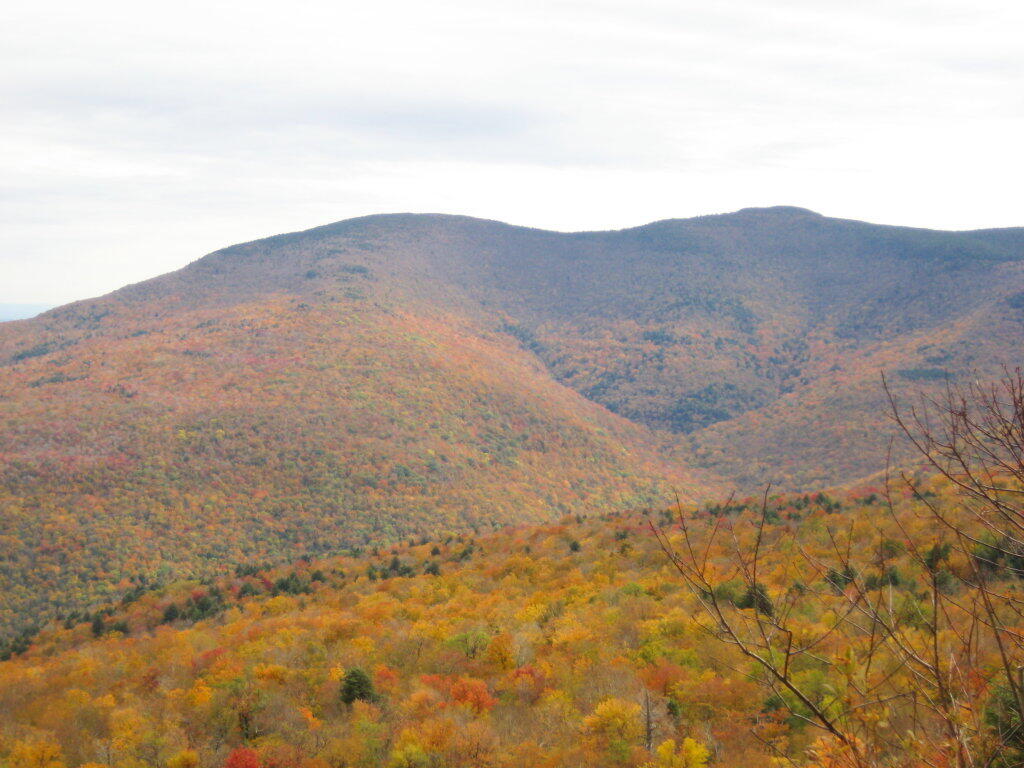
Reaching the Hunter Mountain Overlook, the views where quite amazing, showing mountains from Mount Tremper to the east to West Kill Mountain in the West.
The saddle between Hunter and West Kill Mountain. It was amazingly beautiful.
After taking half a dozen photos at the Overlook, I headed back to the Fire Tower, and went up it once again. Here I am looking to the North West towards Blenheim Mountain and Schoharie County. The former Hunter Mountain Ranger’s cabin is in the foreground, with a snowboarder who snowshoed with board on back from Hunter Mountain Ski Resort on the balcony.
Here is South Hunter Mountain, looking due South.
Heading back down the trail, looking at Rusk Mountain.
I arrived back to my truck around 4 PM. I was tired, as snowshoeing is a lot more work then hiking. Snowshoes kind of drag on the snow, and the cold just makes everything a bit more tiresome. Yet, the beauty was amazing even at a balmy 22 degrees.
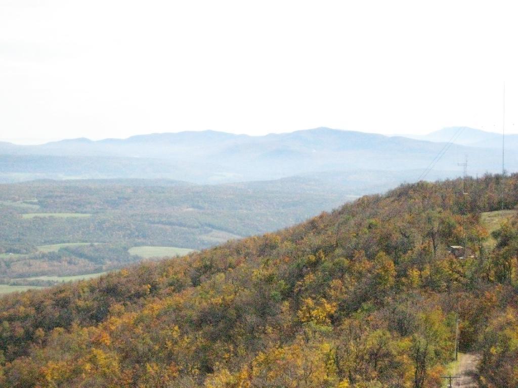
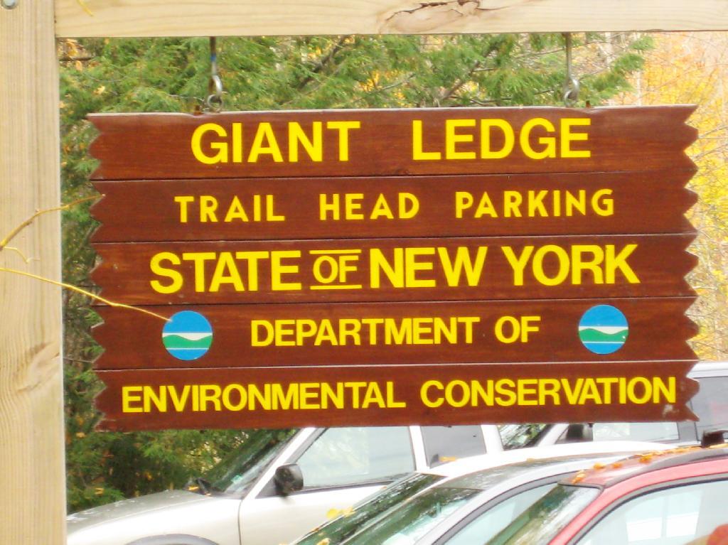
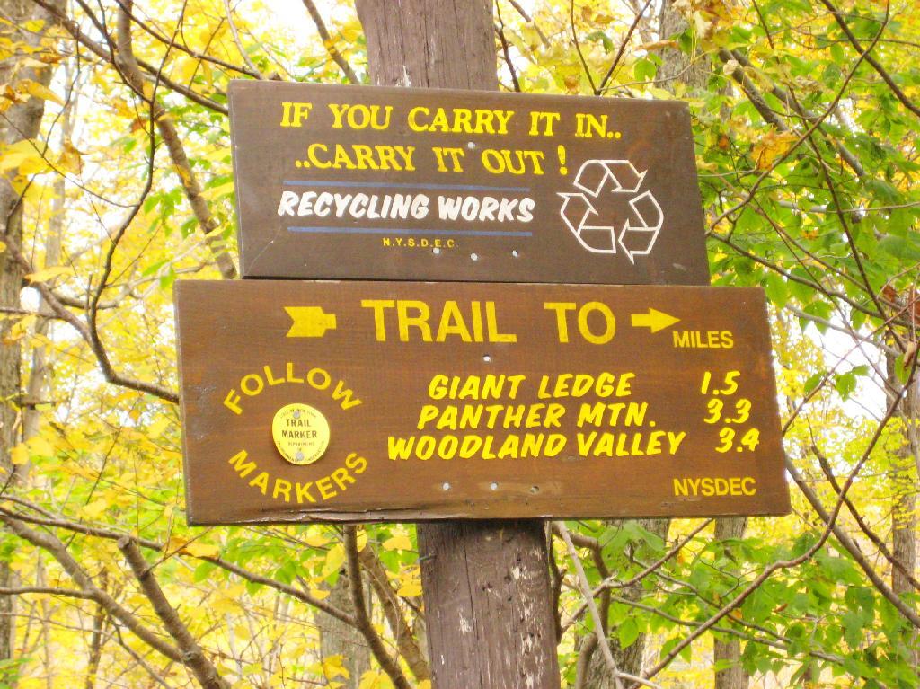
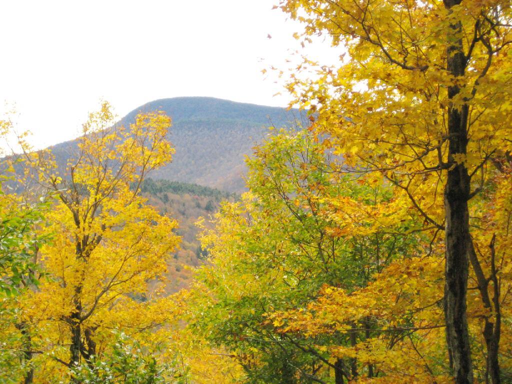
Giant Ledge is a relatively flat hill located on the ridge between Slide Mountain and Panther Mountain. It can be accessed from the Giant Ledge Parking Area, off of hairpin turn on Slide Mountain Road.
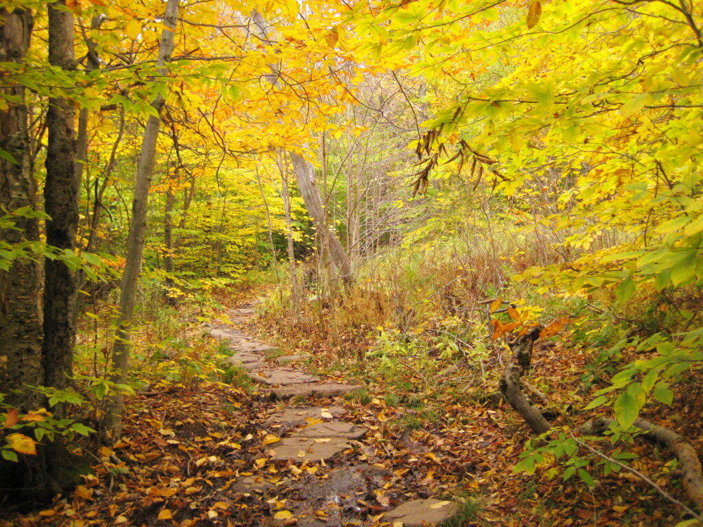
I went hiking on Columbus Day, a little past peak foliage system after spending two nights camping out in Schoharie County. It is a short hike.
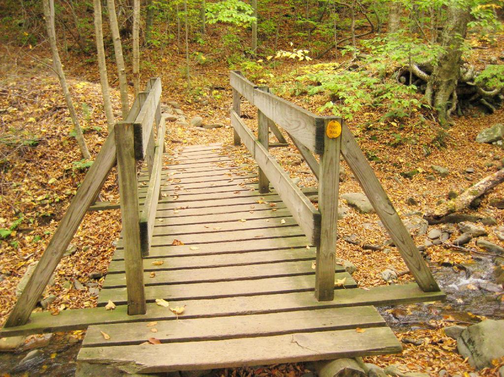
Here is cute little bridge that goes over an unamed creek, running down the northern face of Slide Mountain.
After a moderately steep 3/4 mile hike, you reach the “pass” that goes between Slide Mountain and Panther Mountain. This portion is relatively flat, until you reach the last 150 feet of elevation gain, to reach the top of Giant Ledge.
Here is Slide Mountain, peaking through the trees as your going up to the last bit to Giant Ledge.
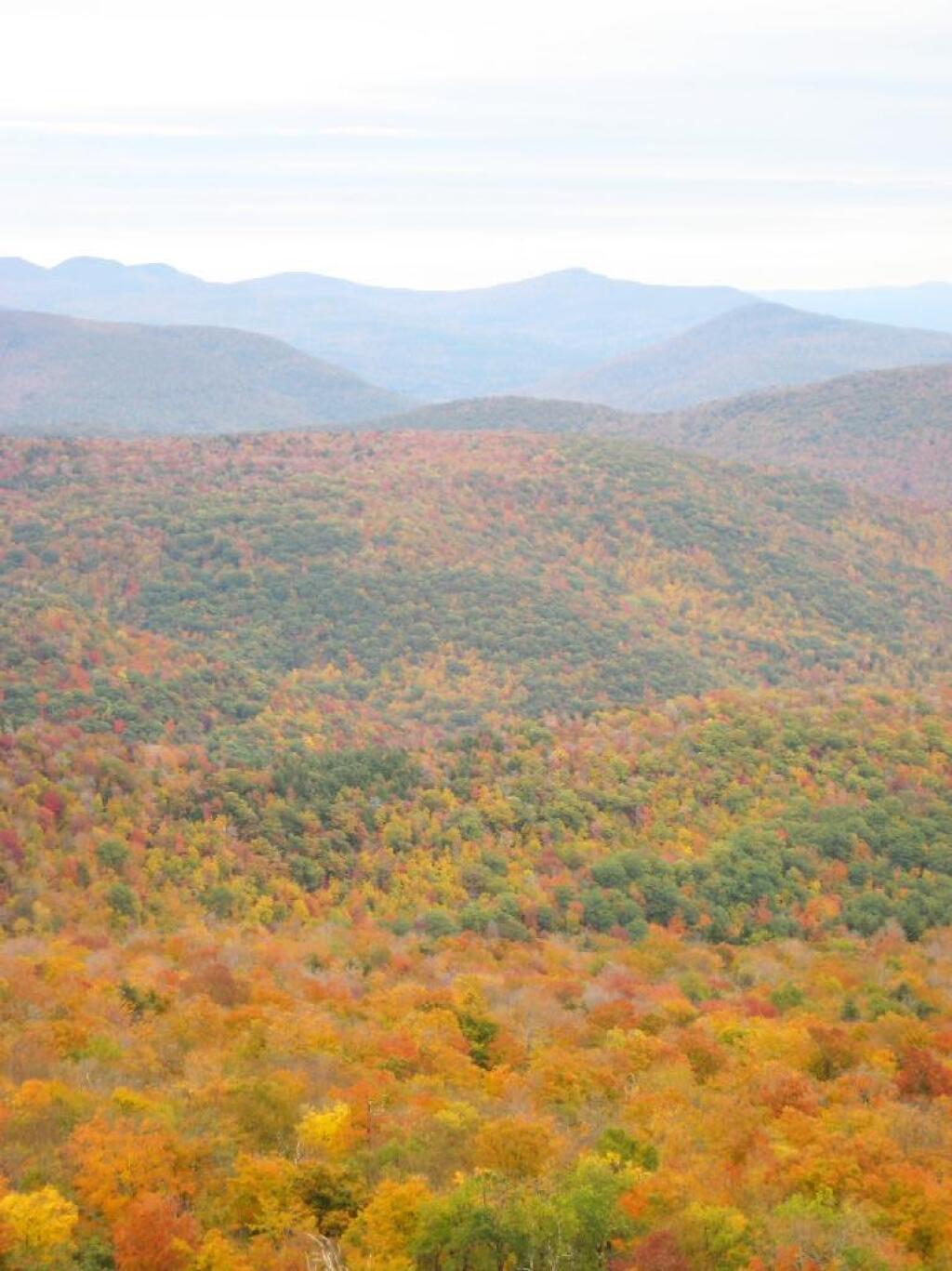
Looking off Giant Ledge, towards Woodlawn Valley (in the colorful foreground), with Plateau Mountain, Twin Mountain, Indian Head Mountain, and in the middle, Tremper Mountain.
Here is the Wittenberg and Cornell Mountains.
This is the Woodlawn Valley’s beautiful colors.
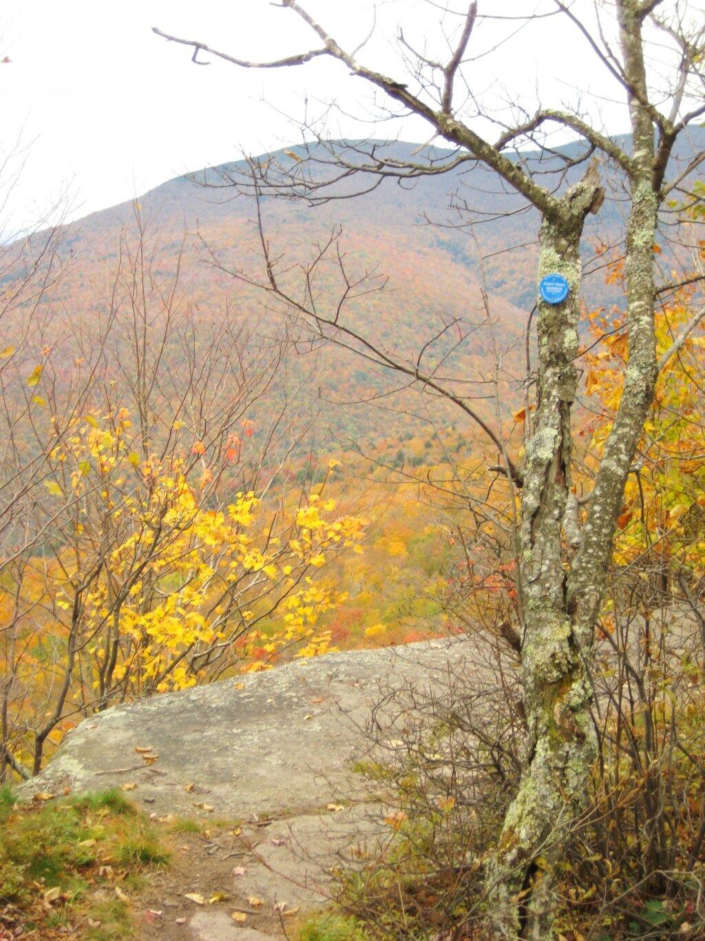
Part of the trail runs right along the edge.
Off the main blue trail on Giant Ledge, there are two campsites at are primative, but nice. This also leads to a trail with views of the Big Indian Valley
Here is the second of two designated campsites on Giant Ledge. There are no campsites on Panther Mountain, which is too high to allow camping. There also is camping on the lower portion Slide Mountain, minus the wonderful views.
After you hike across the trail to the campsites, there is another short little trail that runs over to a viewpoint with views of Big Indian Mountain, and the Big Indian Valley (where Slide Mountain Road runs).
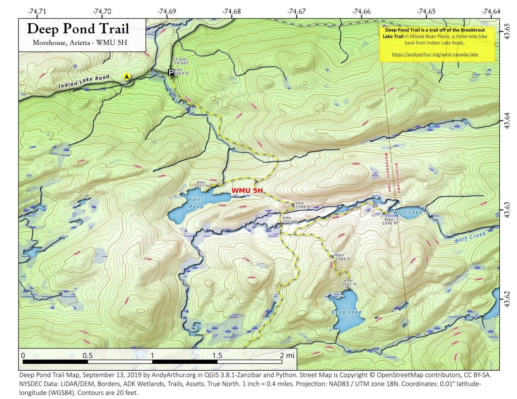
From here, I hiked up Panther Mountain. Here is a map of the hike.
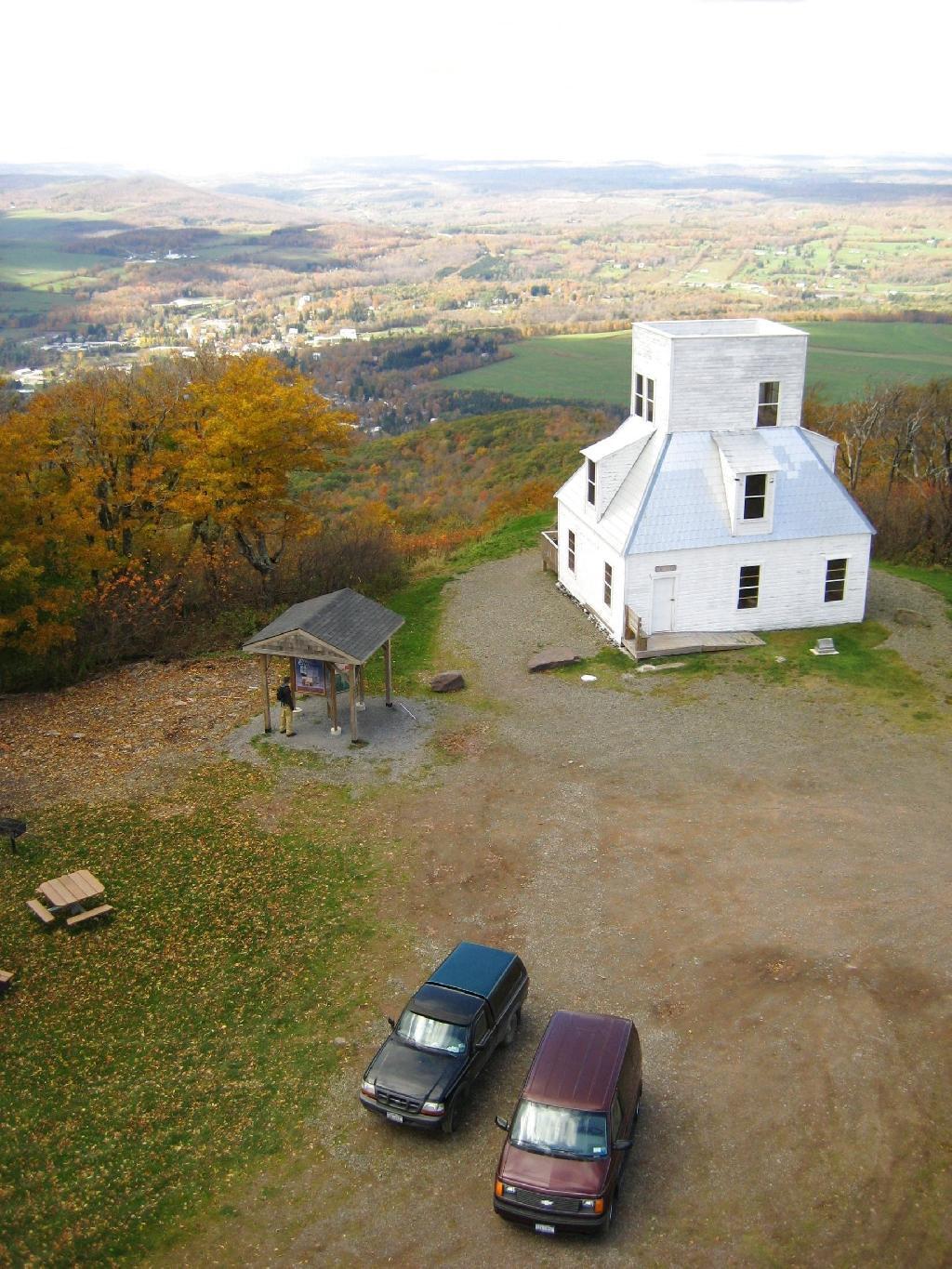
Mount Utsayantha is a village park, high above Stamford, NY. It is accessable either by driving or hiking up a steep one-lane truck trail. I decided to drive up, mainly because I was interested in the view more then the hike up (which would be delightful too).
Here is looking off the firetower at the former gift-shop/observation building that was badly vandalized and is in process of being restored.
Driving up the truck trail to the park, when you almost reach the top, there is a location where you can pull off, and looking for a wonderful northernly view, with farmlands in the foreground, and Emmenence State Forest in the distance.
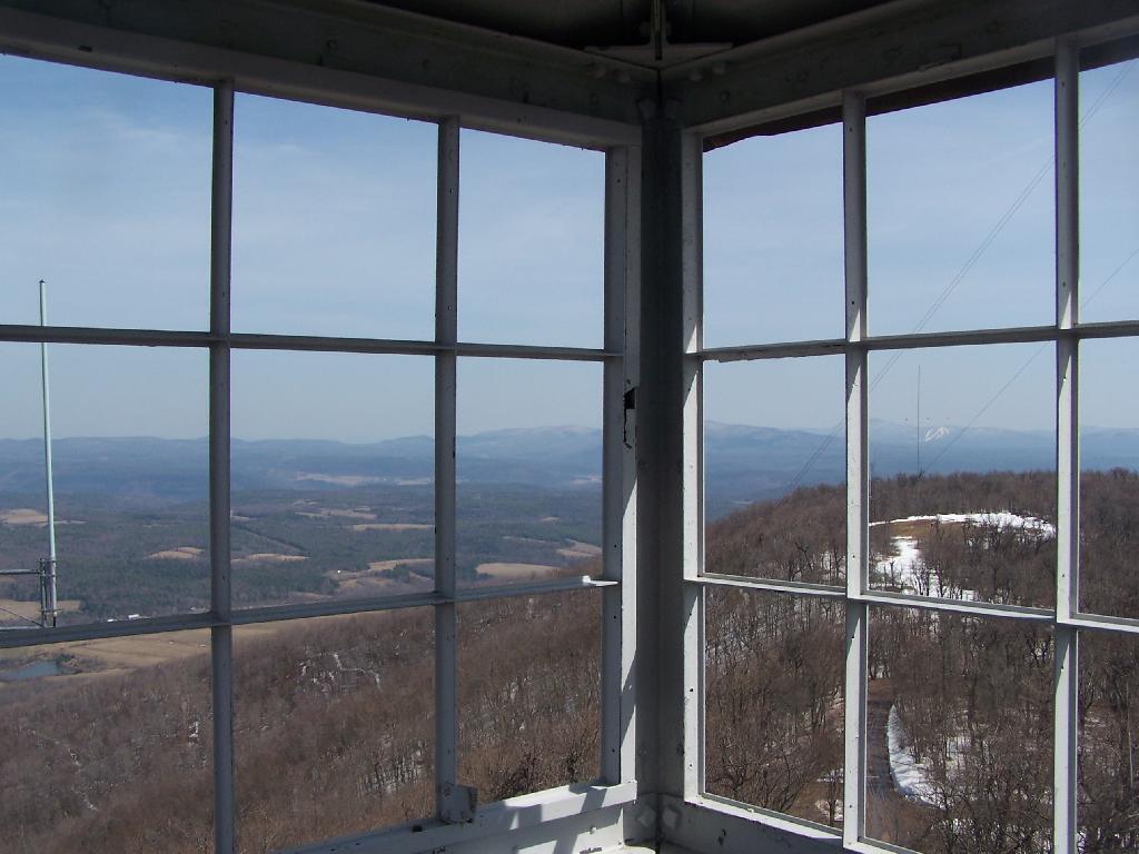
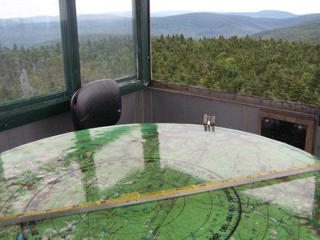
The views from atop of the fire tower are nothing short of amazing. This is from inside the tower, looking out the windows.
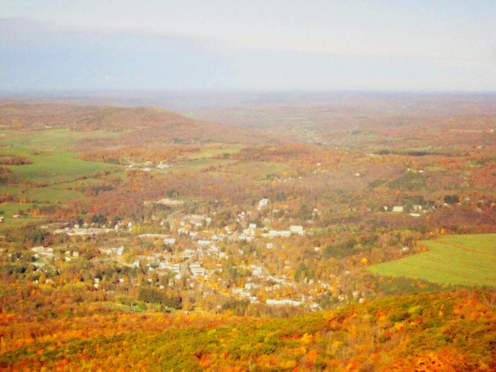
Here is Stamford, NY, looking off the mountain early on October 12th. They say on a clear day, in the distance you can see out towards Oneonta, or at least Hartwick College high up on the hill.
This is one of the amazing views looking out of the windows from the cabin of the fire tower.
Here is Churchhill Mountain in the foreground, with Lyon Mountain and Cowan Mountains in the background.
There are several radio towers on Utsayantha Mountain, which sometimes get in the way of pictures, but it’s still amazing what you see from the tower. In the background you see the area around Grand Gorge, and Irish and Pine Mountains inside of the park.
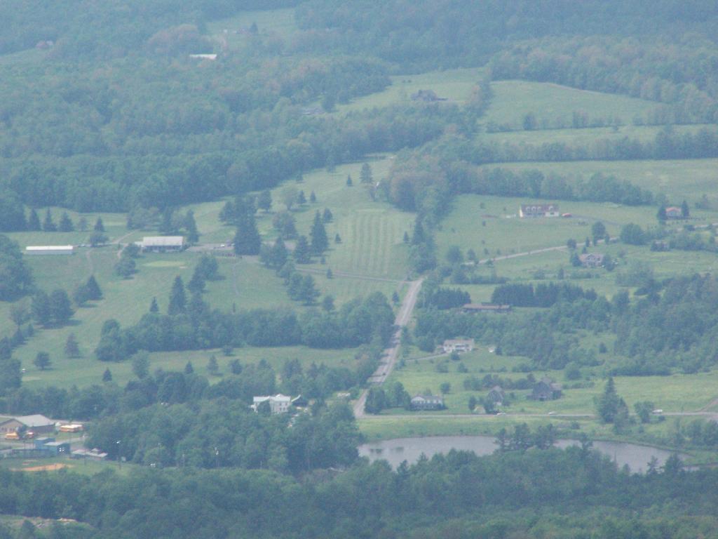
Here is the largely forested area north of Stamford, around places like Summit.
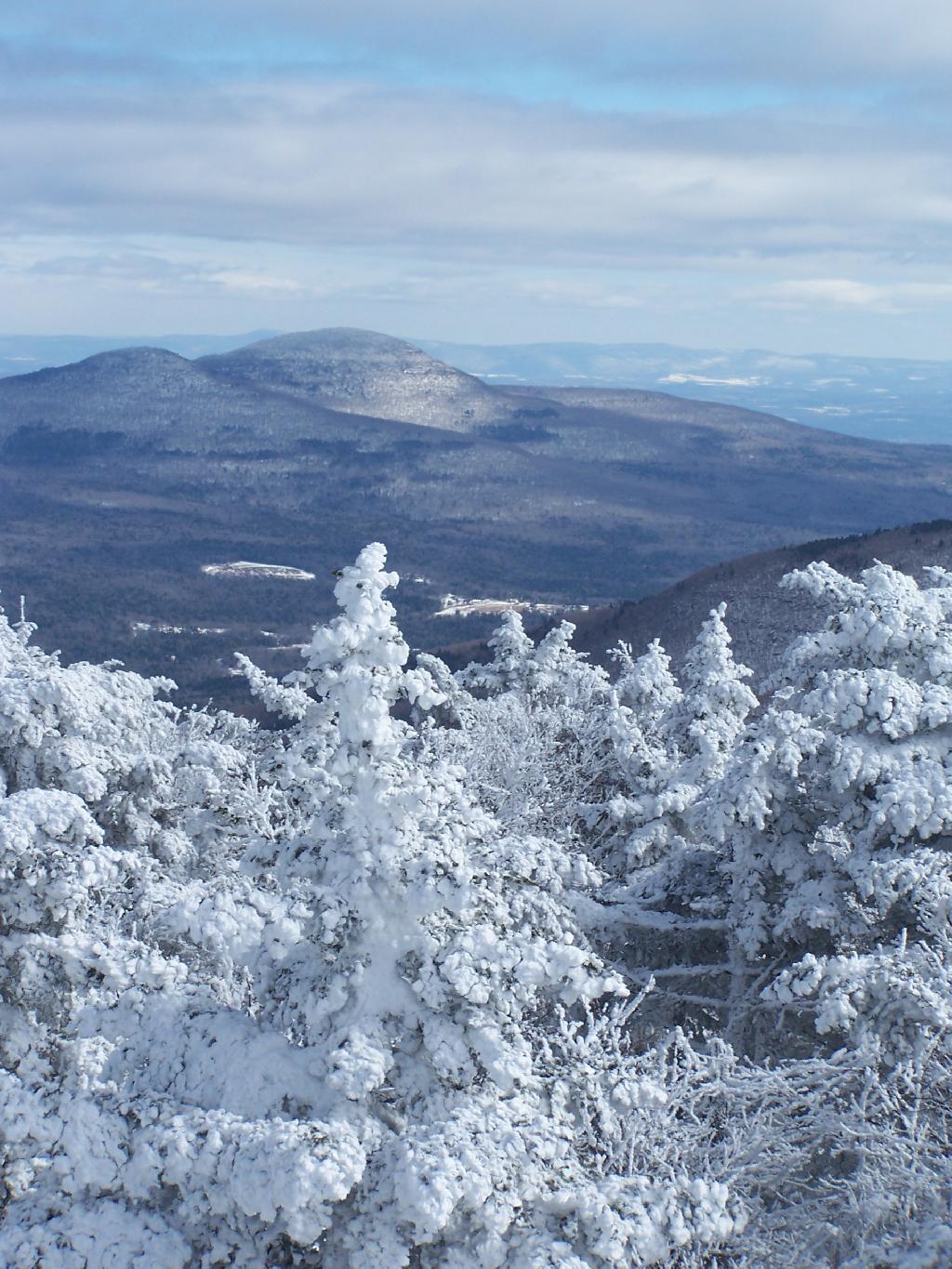
These are the many peaks around Roxbury, looking into the western Catskill Park.
The Mount Utsayantha Fire Tower.
If you ever heading over NY 23, heading back from Oneonta to Albany, or otherwise can take a detour from NY 30 in the area of Grand George, it’s well worth to take a drive up to Stamford, and then up to the fire tower.
The truck trail up to Mount Utsayantha is unmaintained in the winter. Once ice sets in on the trail, you’ll be pretty much limited to going up it with snowshoes or x-country skis (if your careful — it’s steep). It’s probably very cold and windswept in the winter, but the views are probably still amazing.
Here is a map. To get there, take NY 23 East from Stamford to Tower Mountain Road on the outskirts of town, then drive Tower Mountain Road for about 2 miles, until you reach the top of a ridge. You can park from here, and either hike/snowshoe “Utsayantha Mountain” the dirt road a mile to the top or drive up it in nice weather.
Last weekend, after hiking up to Slide Mountain, I decided to drive another 30 minutes west to Balsam Lake Mountain. This was the final fire tower in the five remaining trails in the Catskills.
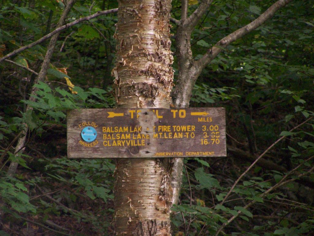
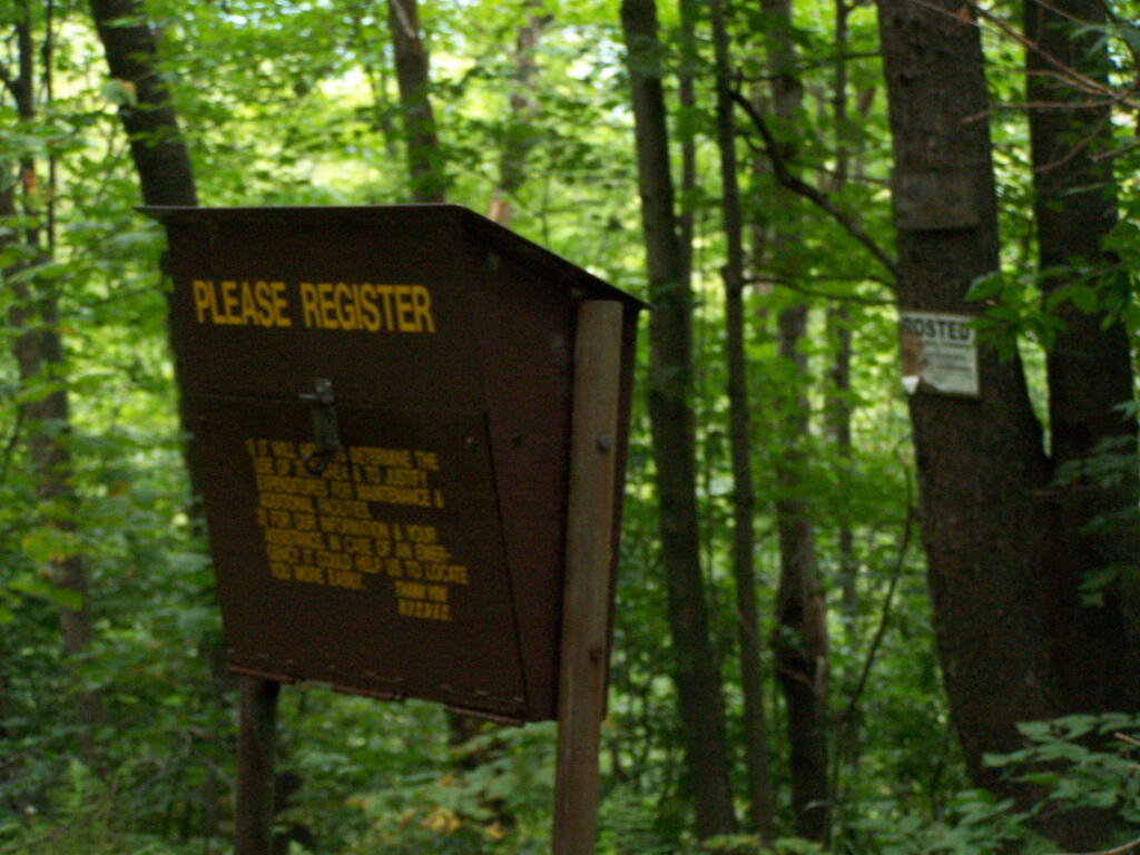
Across from the Dry Brook Parking Area is the blue trail heading south to the Balsam Lake Fire Tower. It is not well marked, but there is one sign that points across the lot, then this well worn sign at the start of the old woods road that leads to the fire tower.
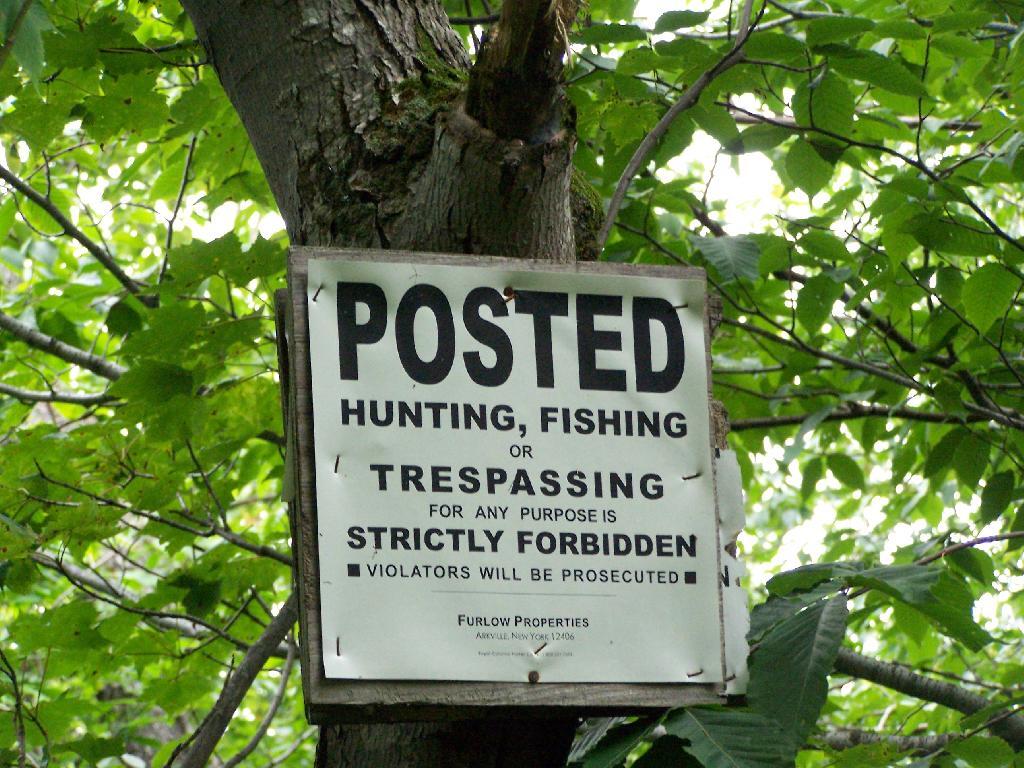
The first 2.25 miles of the trail runs entirely through private lands, and is heavily posted. There is also very few blue markers, so don’t be surpised until you reach the kisok that you feel you are on the wrong trail.
Seeing this was very re-assuring, as I signed my name into the book, and knew I was on the real trail. The kiosk is set about 1/4 mile back from the road. But if you’ve seen the first sign, your okay, as you’ll eventually reach the kiosk.
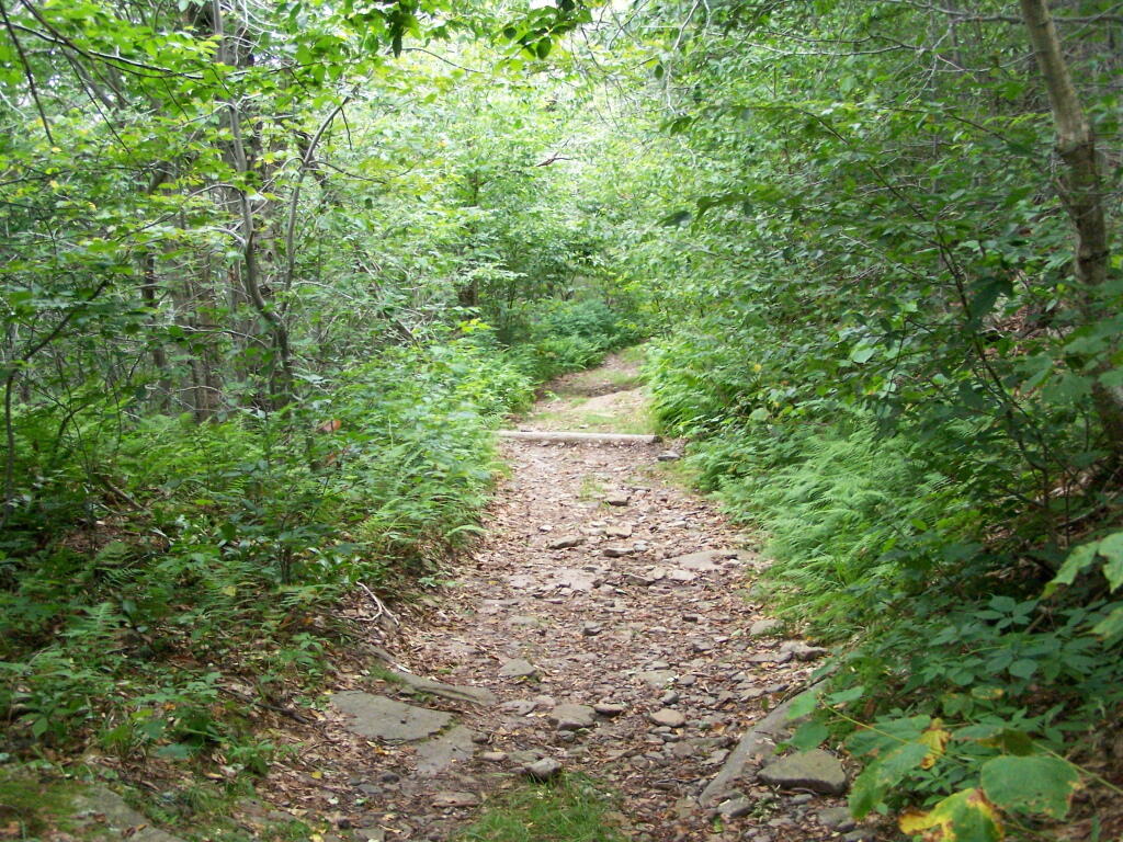
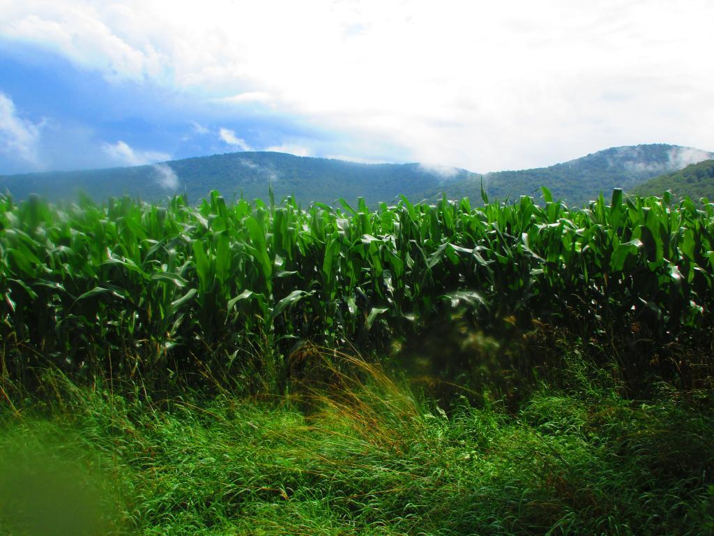
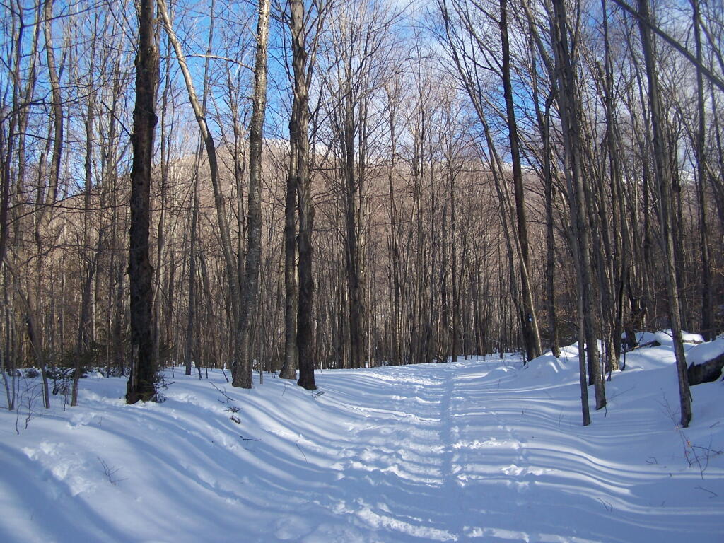
Here is a picture of the old woods road. When the tower was open, the Ranger could drive all the way up there. Today, you can technically drive in until you get to the start of the state land, although it would be rough without a pickup. This trail is not particularly steep.
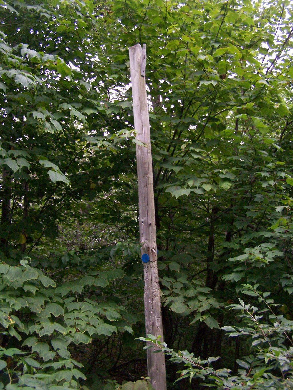
Along the trail is several old telephone polls, used to carry telegraph and/or telphone lines up to the way up it.
At 2.25 miles you reach the intersection of the blue and red trails, the red one that takes you to the tower. It might be only 3/4 miles to the tower, but you still have to go an additional 600 feet in elevation, on a trail with several moderately steep uphill.
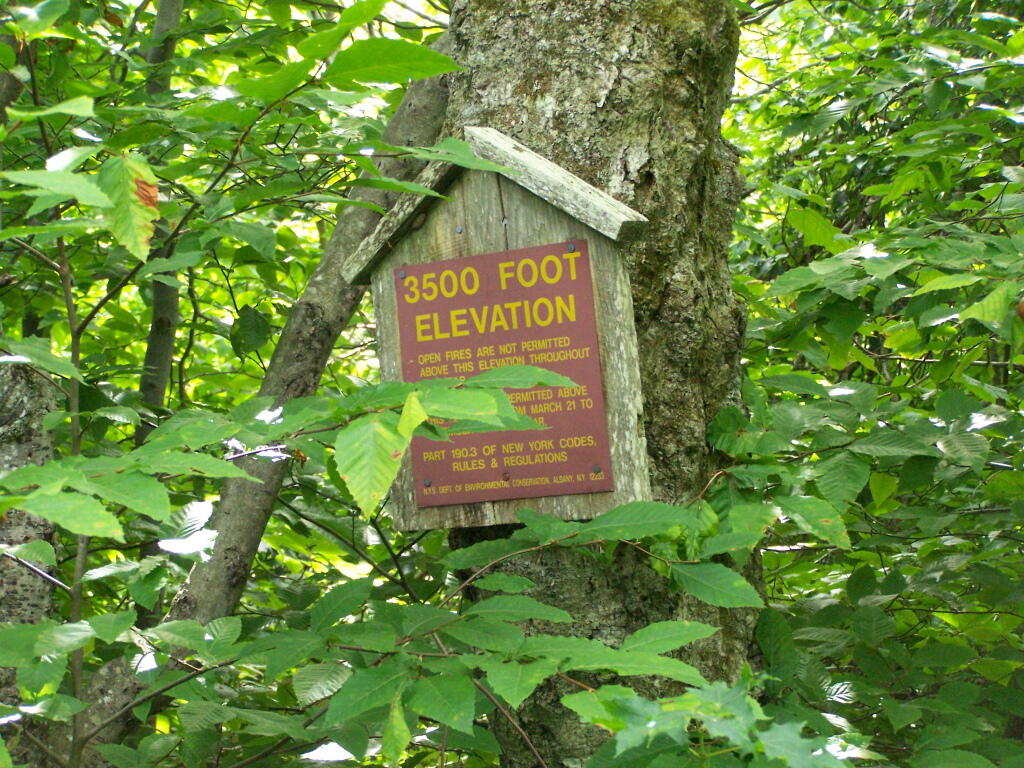
At 2.5 miles you reach the Balsam Lake State Forest, and about a minute later, you reach the 3,500 elevation mark.
You climb and you climb, and the trail opens up. You think your at the top when you here, but your not. Think about hiking for another 15 minutes.
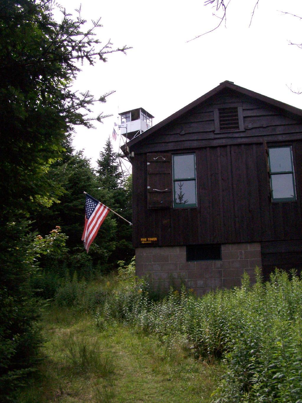
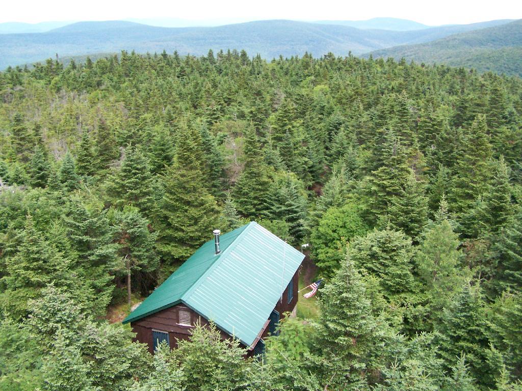
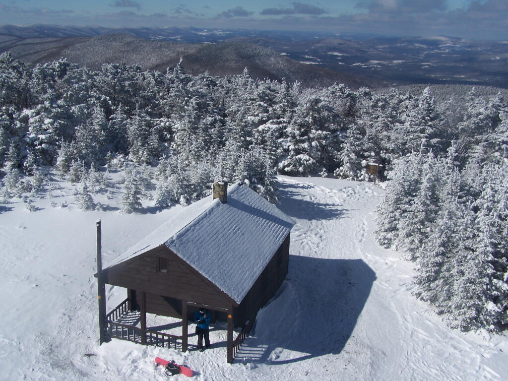
Finally, you see the Ranger’s station and the tower. This makes you happy, especially if you climbed Slide Mountain before this.
The fire tower is staffed on summer weekends, and the cab is open for inspection. At the Ranger’s cabin, there is historic posters from back in the day when the tower was staffed.
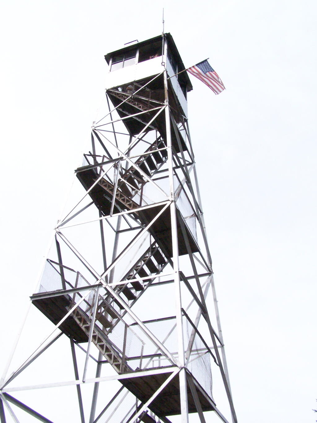
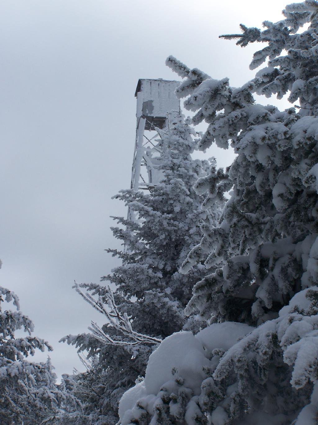
Here’s the tower against the very grey sky.
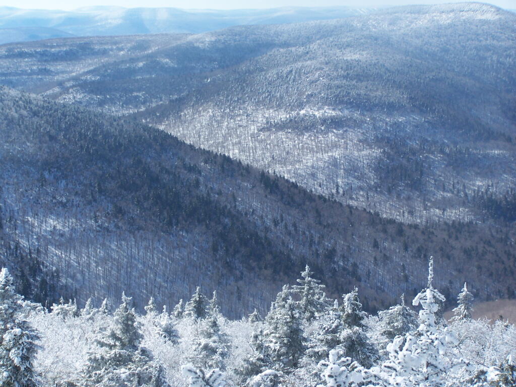
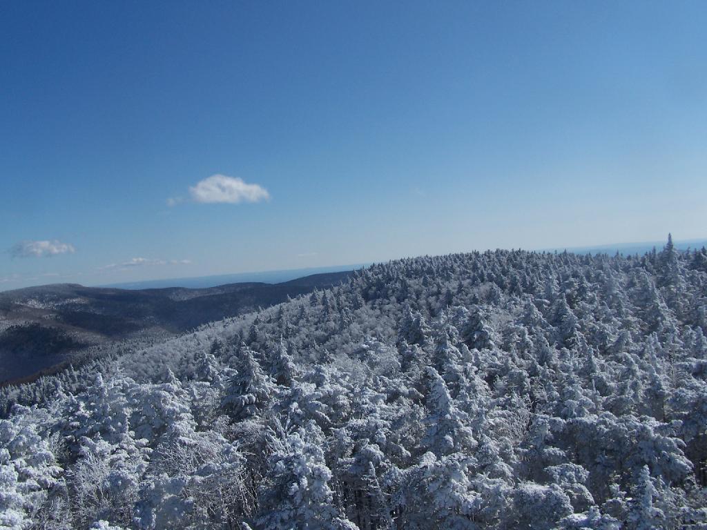
There are some views from the tower, but not super interesting or exciting. Maybe if it was clearer, with deep blue skies it would be a lot purtier.
Here is the inside of the cab of the tower. There is a fixed map to help the ranger in the past observe where a forest fire was, and then call down to the firefighters.
Here’s the Ranger’s Cabin from up top in the tower.
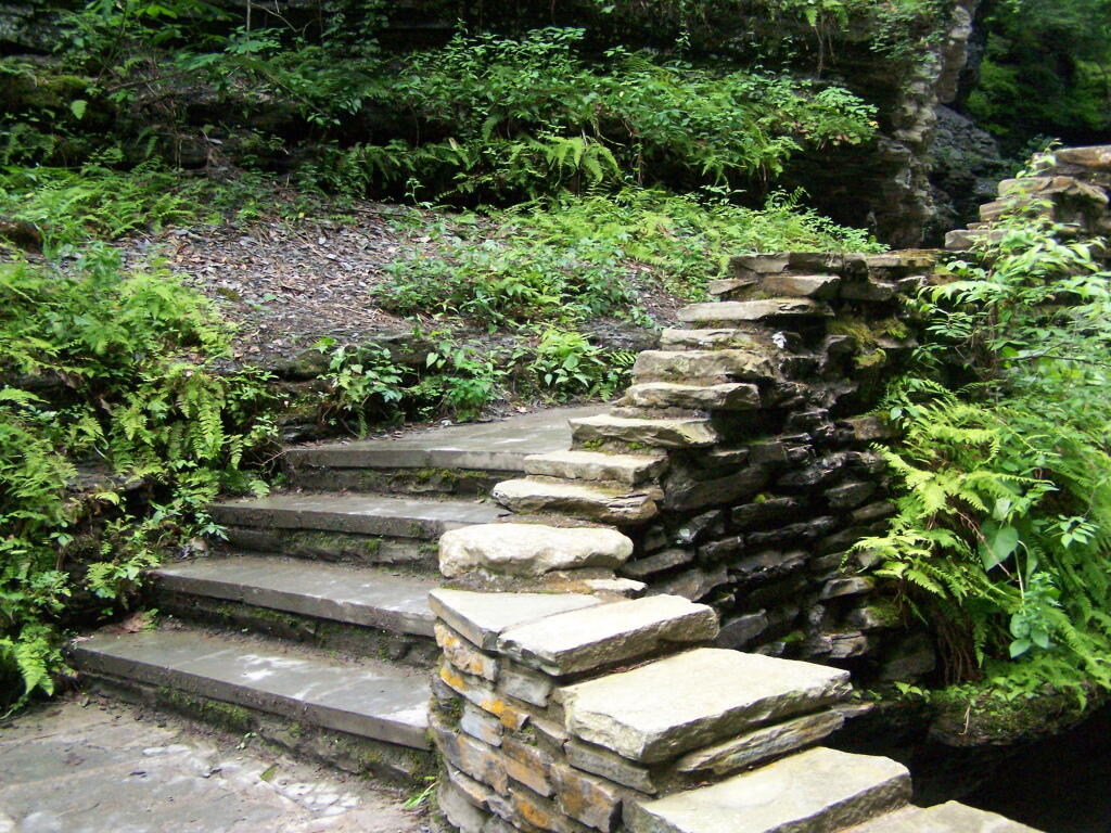
About 200 feet lower, and a 1/4 mile to the south, there is a spring. Also nearby is a lean-to, that is popular on the weekends.


![Across the Potamac River to West VIrigina [Expires November 12 2023]](https://andyarthur.org//data/photo_003065_large.jpg)