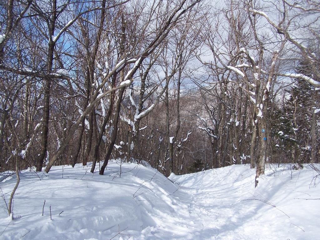
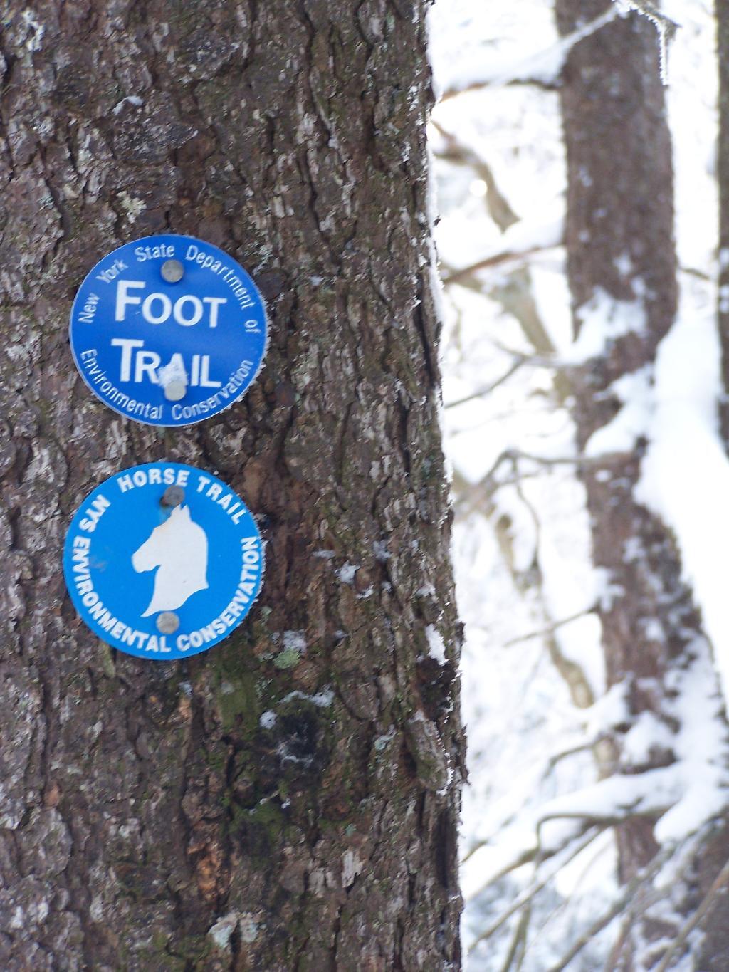
On Sunday, February 21, 2010 I got up at 5 AM and started out on the Spruceton Horse Trail to Hunter Mountain around 8 AM. Previously I went up Hunter Mountain using the much steeper Mink Hollow Trail, which in a couple of parts would be challenging to snowshoe for a novice like myself. The Spruceton Trail is 3.5 miles and an accent of 1,900 feet versus Mink Hollow Trail at 2.1 miles and 2,200 feet accent.
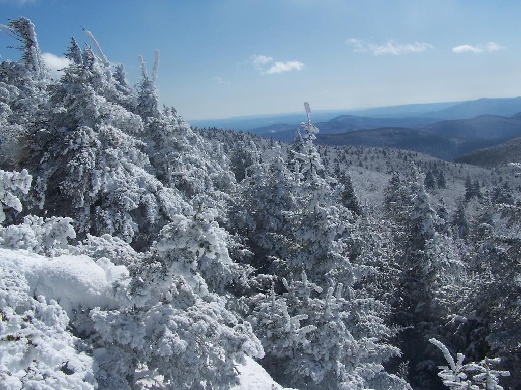
Here I am starting up the mountain, with trail-less high peak Rusk Mountain in the distance.
The Old Hunter Road (abandoned 1937) is straight, wide, and modest ascent. With the sun rising, I had issues with snow blindness, but it offered some interesting broken views of West Kill Mountain in the background.
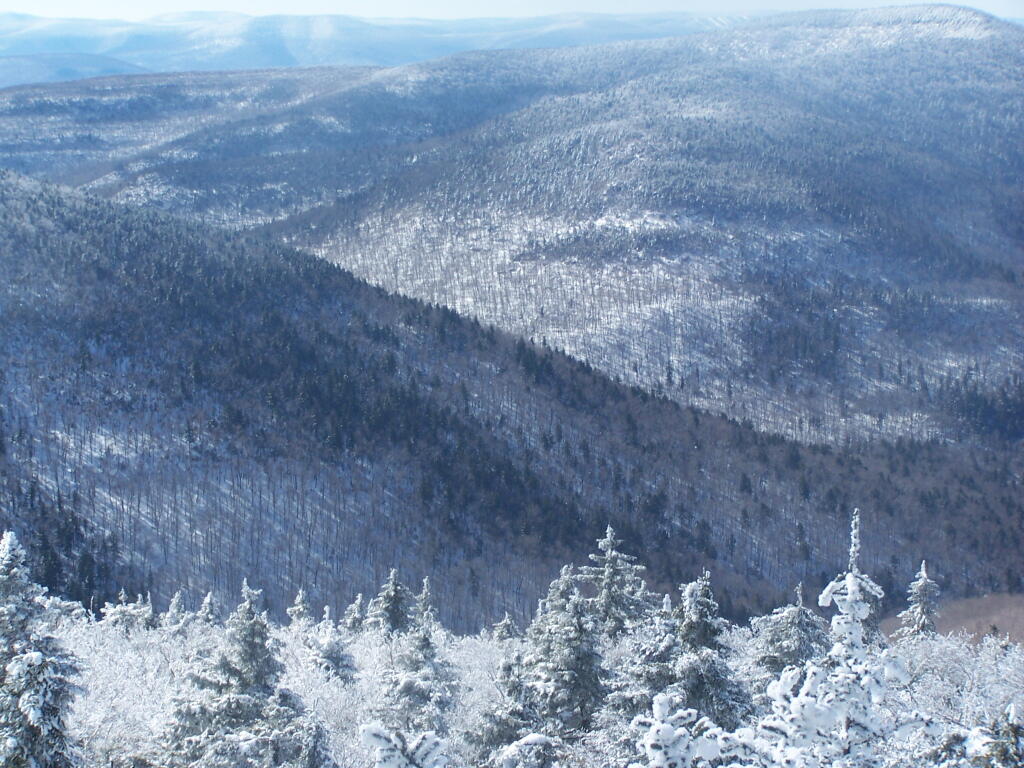
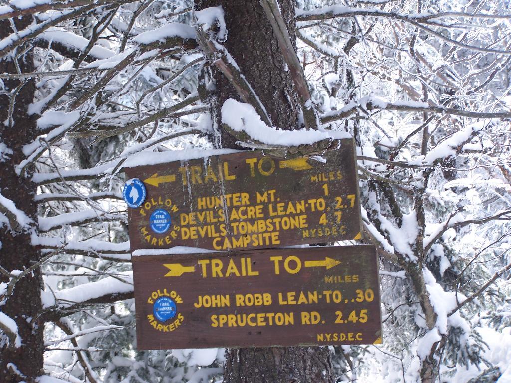
About half-way up the Mountain, you reach the “saddle” between Rusk and Hunter Mountain. After snowshoeing for a little over an hour, with this sign telling you there is 1.7 miles to go, an accent of 1,100 feet is a bit discouraging, but so be it.
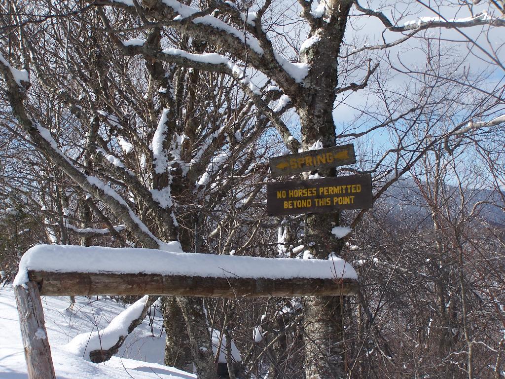
After about 2 hours of snowshoeing I reached the spring. The past half hour of hiking, from the saddle up to the spring, may not be a long distance at 1/2 mile, it is a vigrous but not not steep 500 foot ascent by an old but wide abandoned truck trail.
The AMC’s Best Day Hikes in the Catskills and Hudson Valley suggests that one has to be careful with drinking out of this spring, because thirsty horseback riders sometimes bring their horses back to give them a drink too, ignoring the sign.
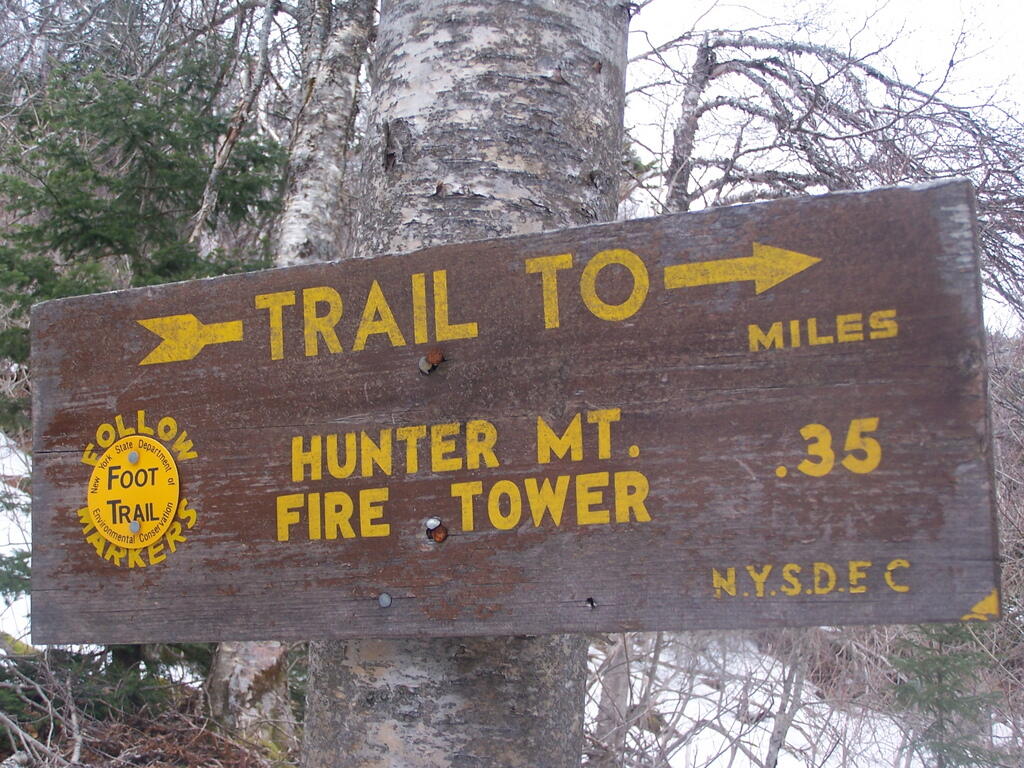
From the Lean To, it’s approximately 1 mile to the Hunter Fire Tower. The next mile is either flat or a slight ascent, until you reach the last 1/4 mile of the trail where is ascent quickly with switchbacks, but again, not steeply.
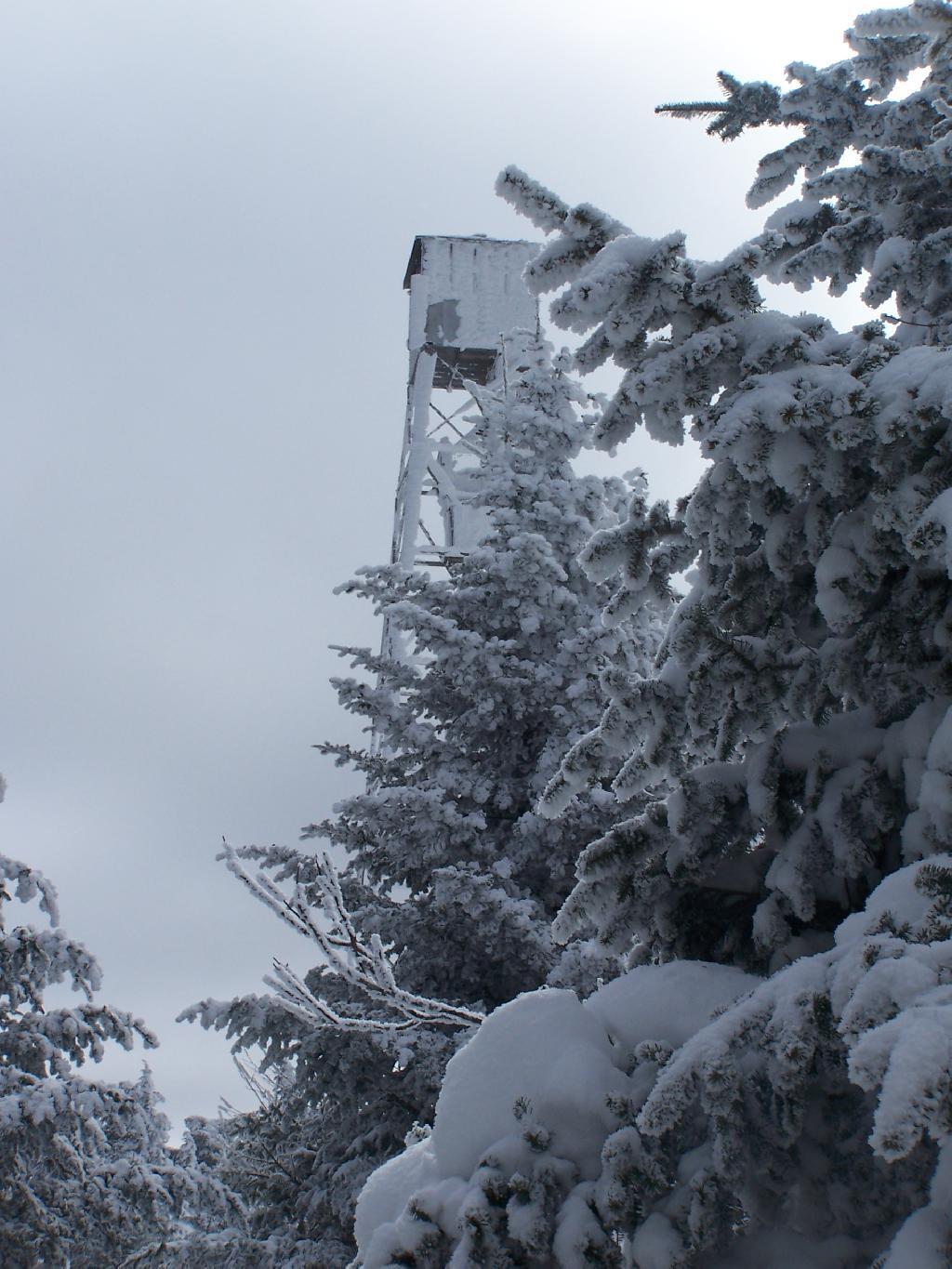
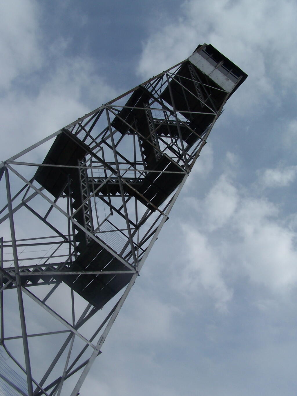
Finally after about 4 1/2 hours of snowshoeing (including breaks and taking photos), I reached the Hunter Mountain Fire Tower. By now it had clouded up, and it reminds one of a picture out of a movie.
It felt good to get the snowshoes off, stop, and have some lunch for an extended break.
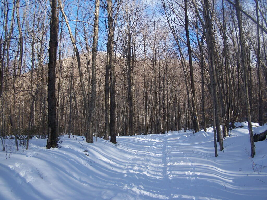
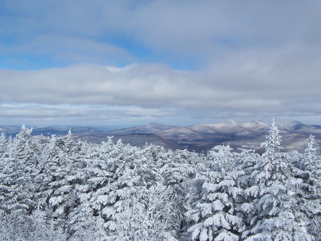
Looking North off the Fire Tower towards the Catskills famous TriMount-range aka Thomas Cole, Black Dome, and Black Head Mountains.
To the due east one can see Catskill’s Sunset Point, the upper Hudson Valley near Catskill, and in the distance, the Taconics, including the other Sunset Point in the Taconic State Park.
It was frigid on the fire tower with the winds blowing. Off the tower it wasn’t quite so bad. After spending a little time relaxing at the picnic table, and putting another layer of clothes on, I headed south along the blue trail to the Hunter Mountain Overlook which overlooks the South-Western Catskills.
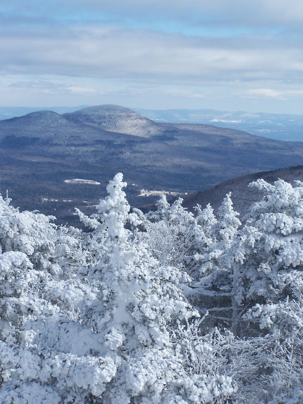
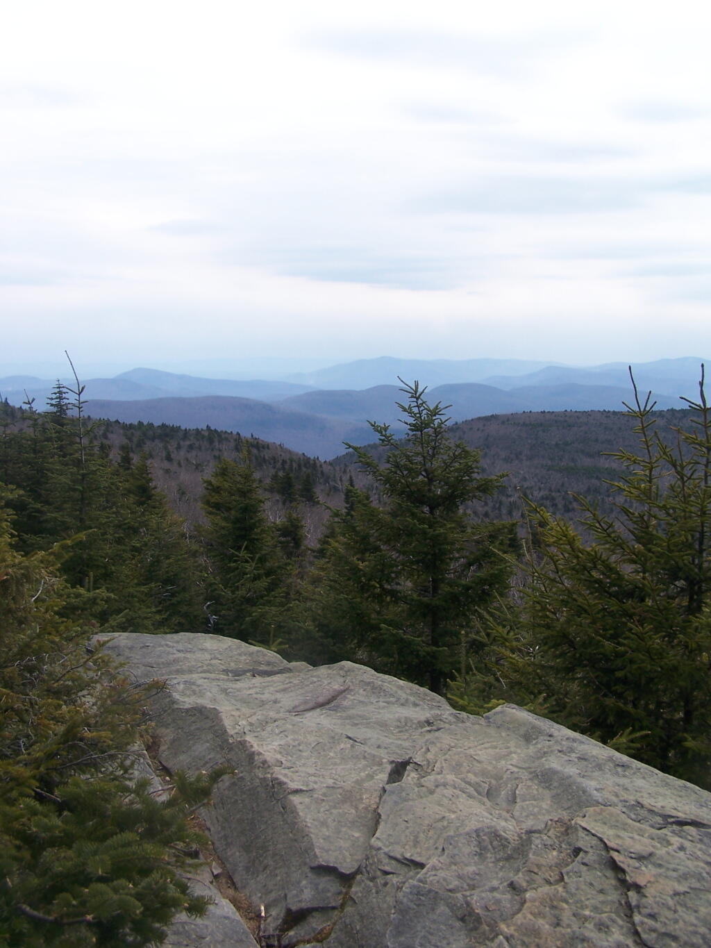
Reaching the Hunter Mountain Overlook, the views where quite amazing, showing mountains from Mount Tremper to the east to West Kill Mountain in the West.
The saddle between Hunter and West Kill Mountain. It was amazingly beautiful.
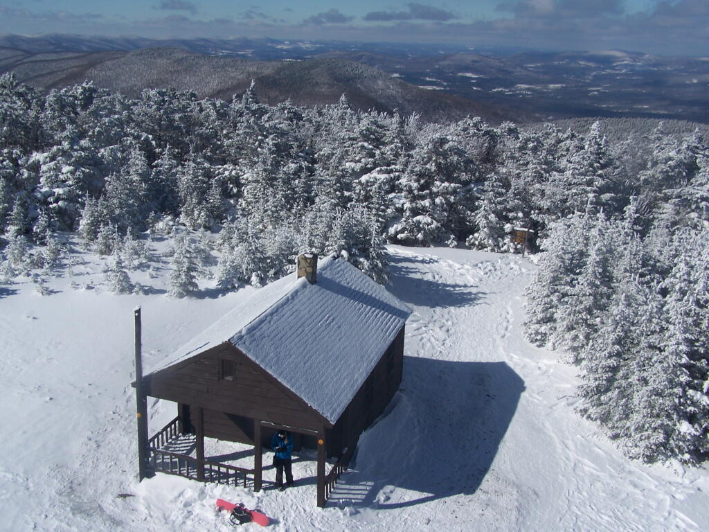
After taking half a dozen photos at the Overlook, I headed back to the Fire Tower, and went up it once again. Here I am looking to the North West towards Blenheim Mountain and Schoharie County. The former Hunter Mountain Ranger’s cabin is in the foreground, with a snowboarder who snowshoed with board on back from Hunter Mountain Ski Resort on the balcony.
Here is South Hunter Mountain, looking due South.
Heading back down the trail, looking at Rusk Mountain.
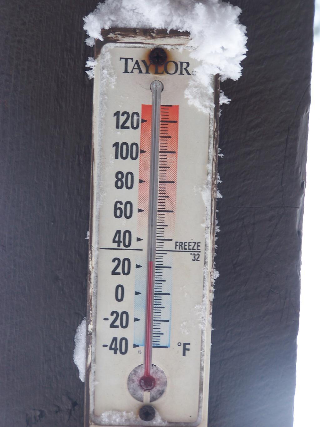
I arrived back to my truck around 4 PM. I was tired, as snowshoeing is a lot more work then hiking. Snowshoes kind of drag on the snow, and the cold just makes everything a bit more tiresome. Yet, the beauty was amazing even at a balmy 22 degrees.
On Friday I hiked up Hunter Mountain, the second tallest peak in the Catskills at 4040′ elevation above sea level. From the trail head you clime 2020′ feet in elevation, about doubling your height, but it’s not that bad when you consider the climb is over 2.5 miles via the Becker Hollow Trail.
It was a beautiful sunny day, although I was well aware that rain was expected by afternoon. I had gotten a late start, not reaching the trail head until about 9:30 AM. It was quite hot going up, in part because there was little shade to hide out under.
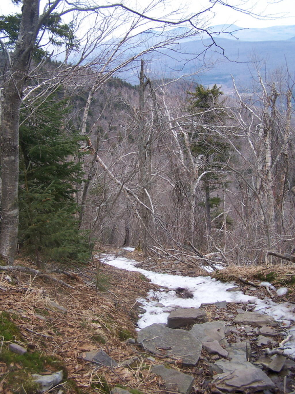
The first part of the trail was relatively modest, but it quickly got steeper. It didn’t seem that bad, but I could feel the elevation, and with the sun it was quite warm. I took frequent breaks, stopping for lunch, pictures, water, and just to cool down, especially where I could find shade under the pine trees.
Around 3500 elevation marker, the trail headed south and got snowy and icy. It was a steeper hike, but not any worst then any other of the Catskill peaks. Then the yellow trail split off the blue trail, and it was a 1/4 mile up to the fire tower.
The fire tower is in the middle of the Catskills, so the surrounding mountains block the view of the valley except for a few views, such as down the Palenville Clove. Westerly views are the best, as are some of the southerly views.
The top deck of the fire tower of is missing the safety screen. Not that it matters much as the railing makes it pretty unlikely to fall, but I still have enough of a fear of heights to be extra careful. Stupid, sure.
A little ways to the south on the blue trail, about 1/2 mile, there is another view that overlooks the south-west, including West Kill Mountains, Slide Mountain, and Belleayre, all clearly identifiable.
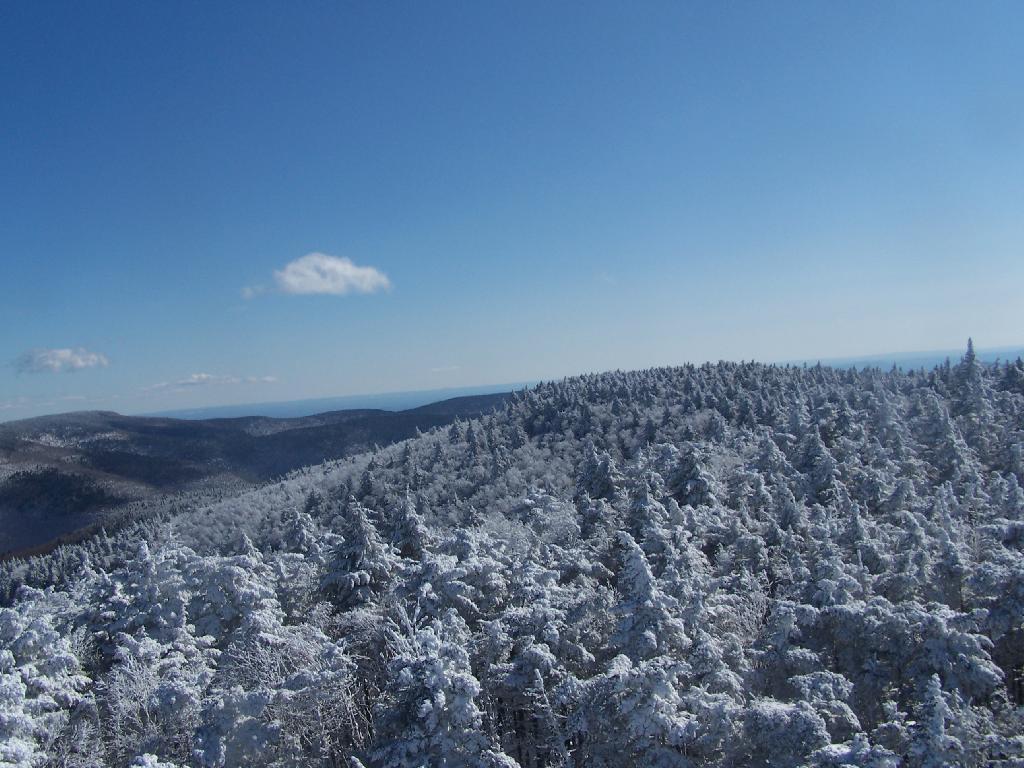
This hike is definitely worthwhile when things are green out, if you enjoy looking at mountains. But it was awful gray out, especially by the time I reached the top, and it had clouded over. The lack of views of the Hudson Valley and the river was somewhat disappointing, but not surprising.
I slipped on some ice on the way down, slide about 10 feet and certainly felt it the next day. Other then that, it was a nice descent, much easier then going up. It started to pour, just about the time I reached my truck.