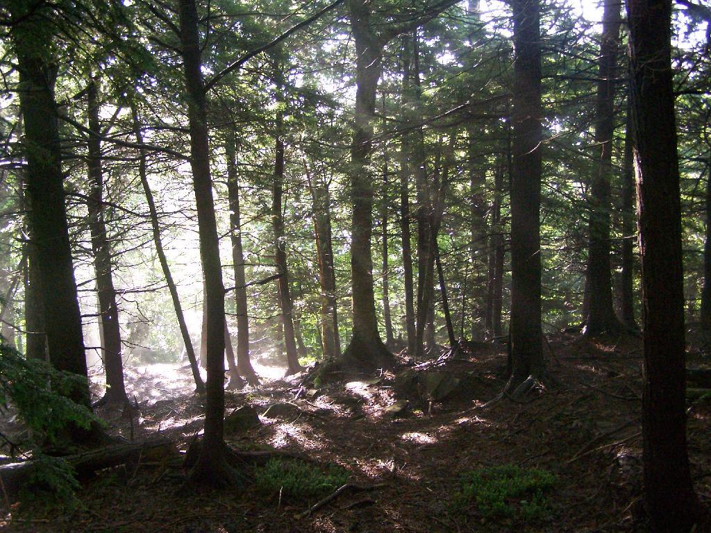
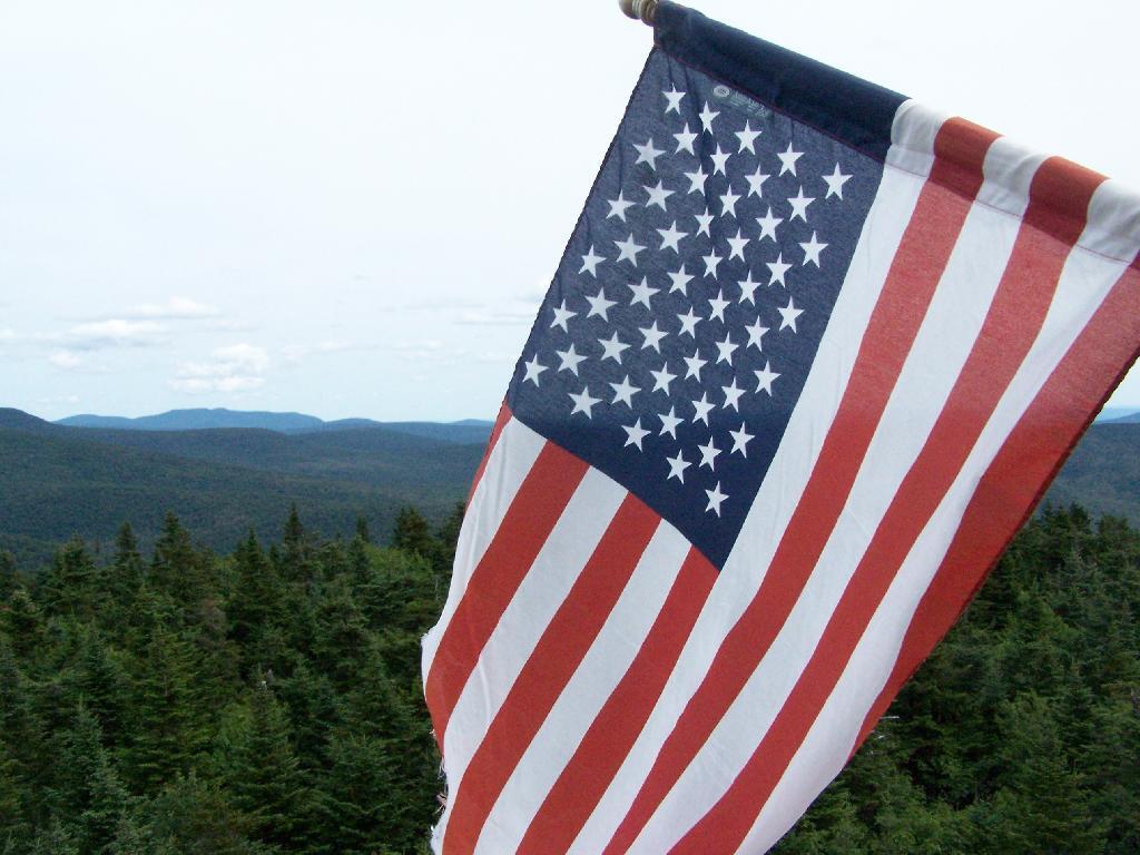
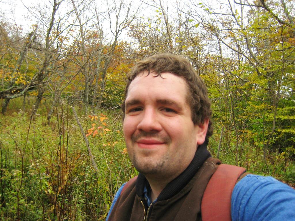
On Sunday I went for a hike a top of Twin Mountain. After getting up early on a Saturday morning, it was an interesting drive up Platte Clove Road in the morning. Everything was still wet in the woods from the previous night’s rain, it made some rather pretty god rays coming through the trees.
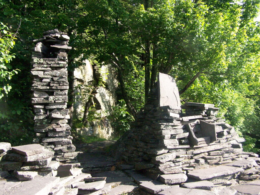
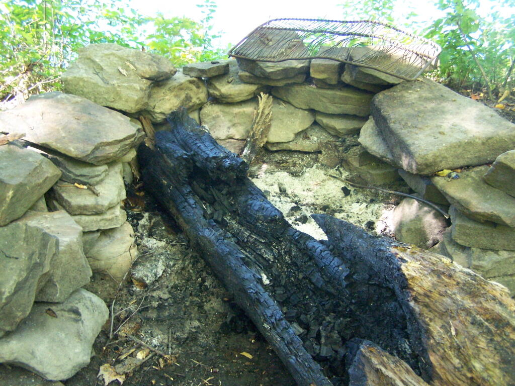
As you continue up the trail, there is a set of stone chairs in an old query.
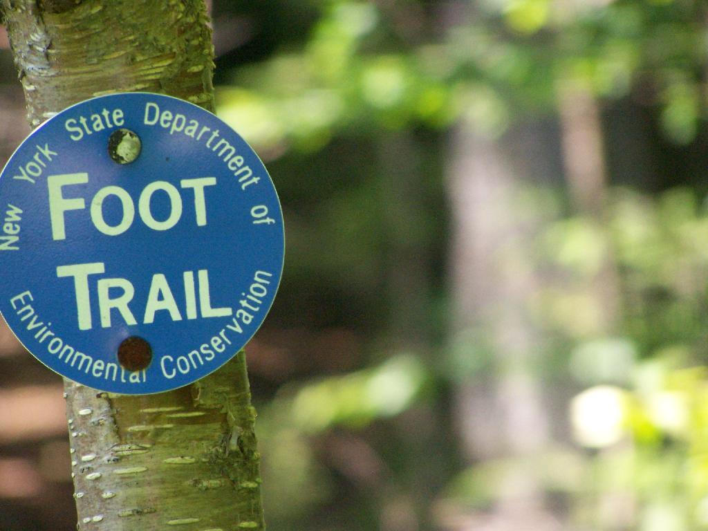
Following the Blue Trail.
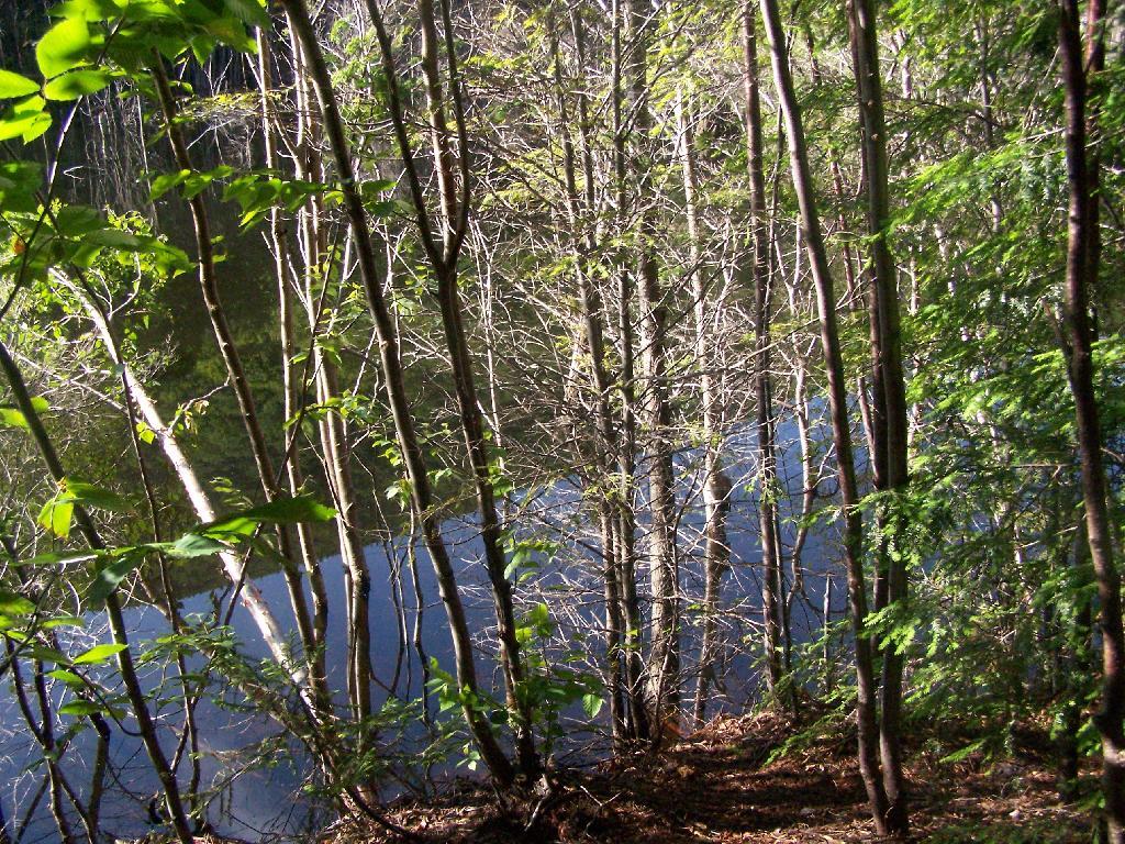
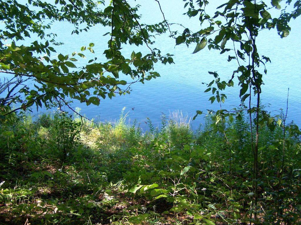
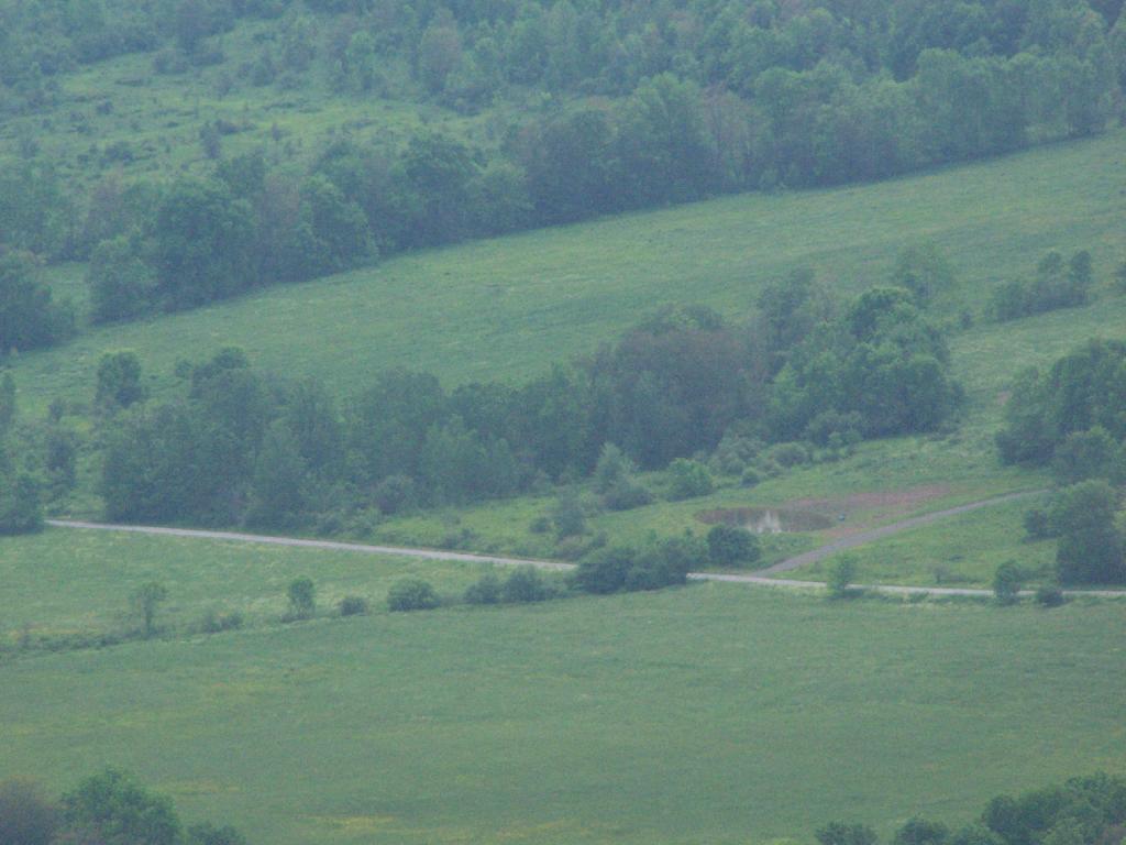
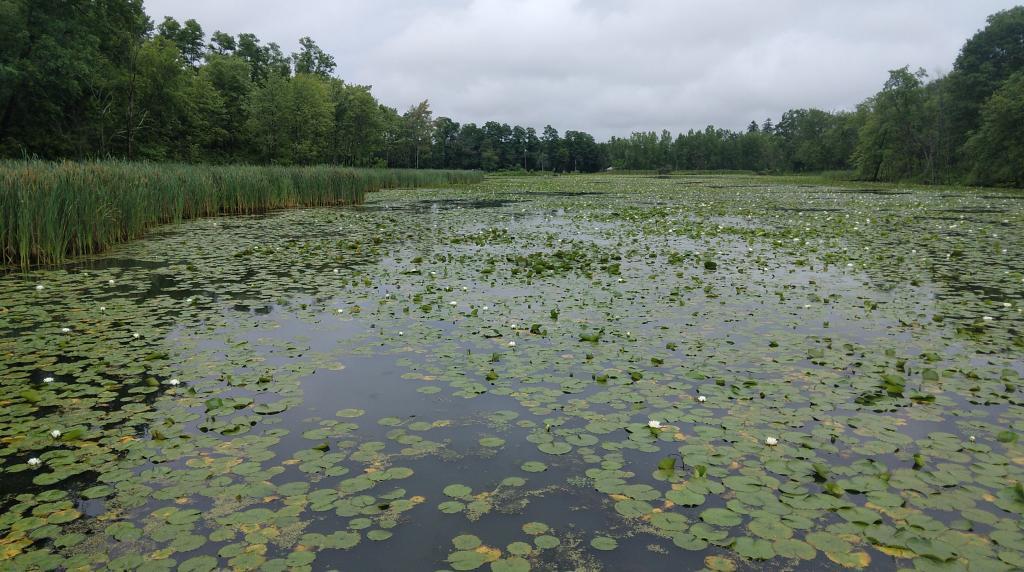
As you reach the the top of Pecoy’s notch there is a pretty Beaver Swamp between Twin and Sugar Loaf Mountains.
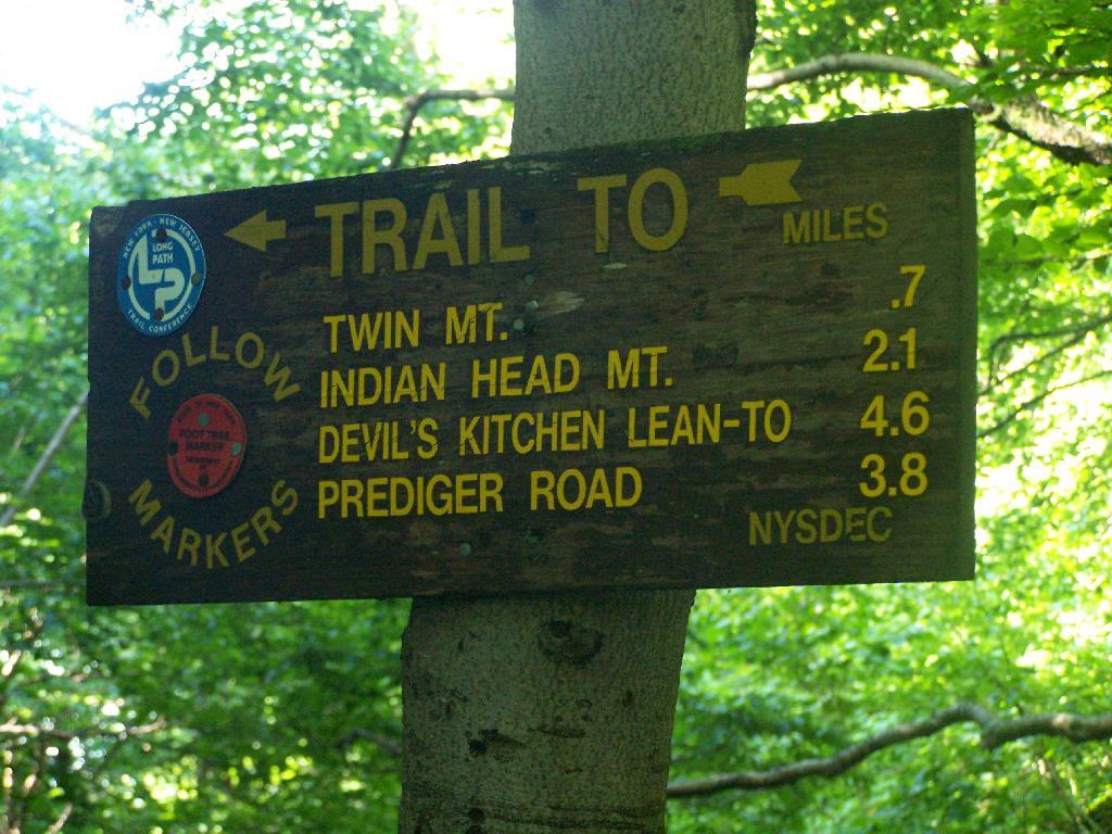
The sign to Twin Mountain says .7 miles remaining, but it’s a steep .7 miles to reach the top.
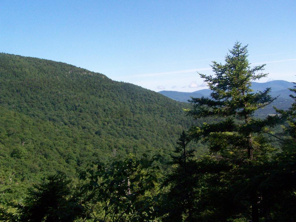
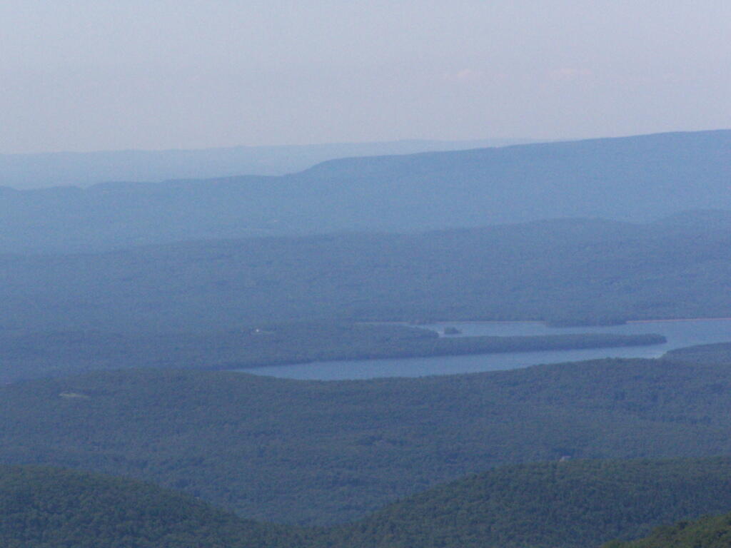
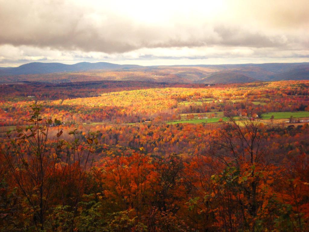
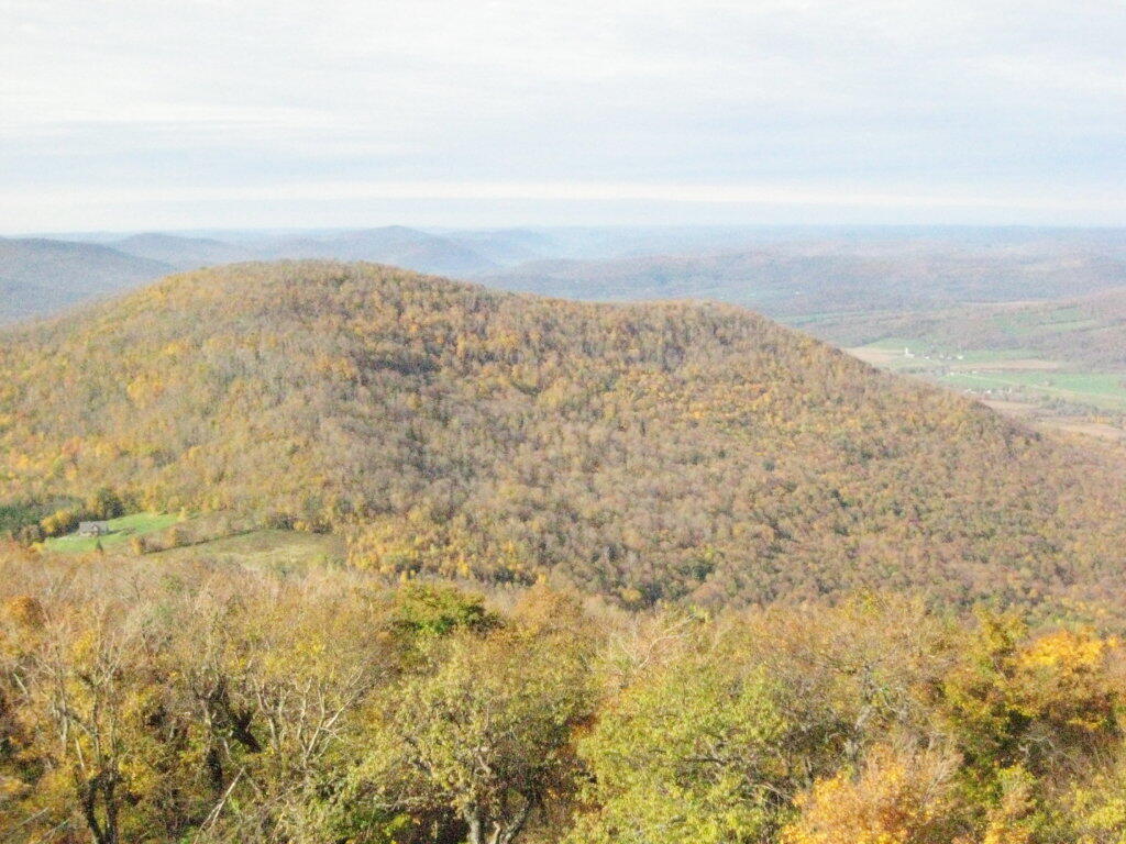
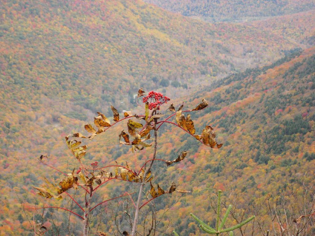
The views climbing the mountain show TriMount in the background and Sugar Loaf in the foreground.
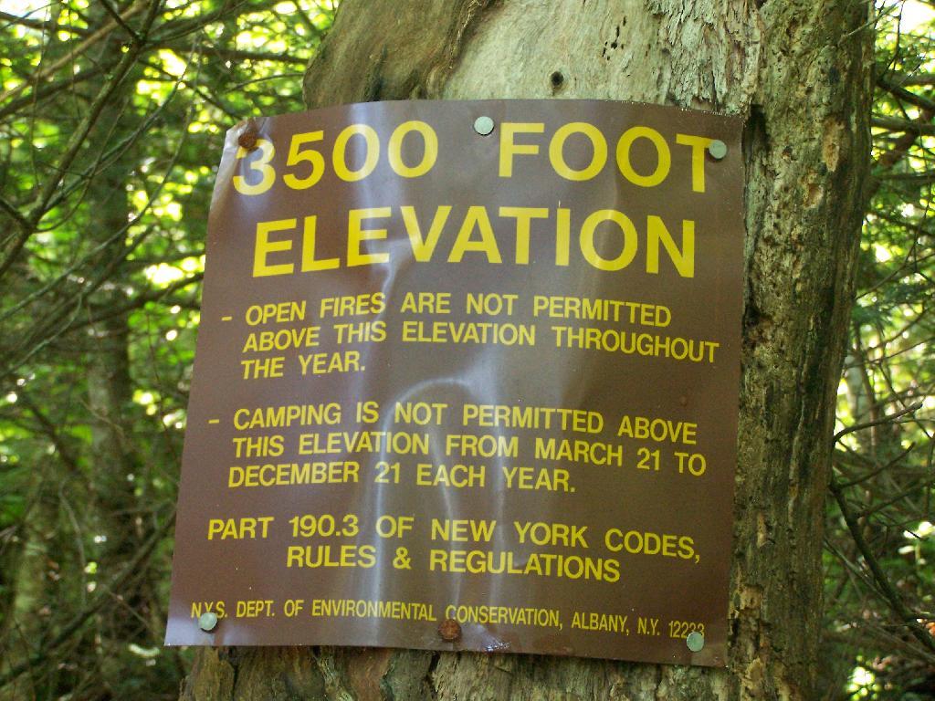
Finally you reach 3,500 feet elevation, and shortly there after the top of the western most peak of Twin Mountain.
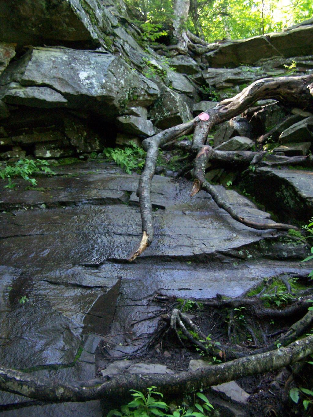
The trail is certainly steep at times. You have to climb up this wet rock face, with limited handholds for about 20 feet. Scratched up my radio doing this, and somewhat took my breath/sense of fear of heights when doing it.
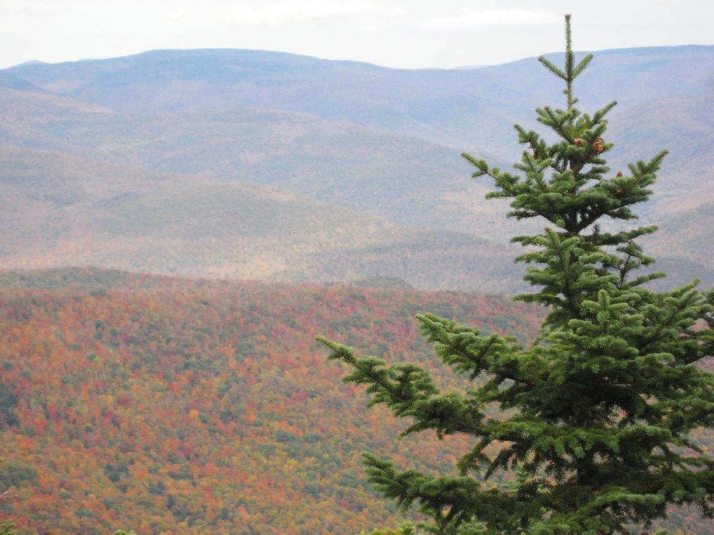
The views of South Hunter Mountain, Platteau from the western peak of Twin are great. Also, don’t forget to continue on for another 1/2 mile down a dip and back up to the other peak of Twin Mountain.
Big Pond is one of the two larger ponds in the Catskills accessible to the public. Located in the Western Catskills, near Alder Pond, it has eight paddle in or hike in tent sites, and some pretty views.
I paddled in on August 17, 2010. These are the pictures I took paddling around the lake.
Night is Creeping Up on Me. I didn’t realize how quickly it got late at Big Pond, and I had even started dinner. To make matters worst, my white-gas lantern wouldn’t start, so I had to do everything by flash light.
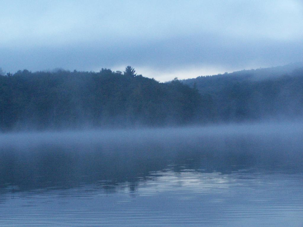
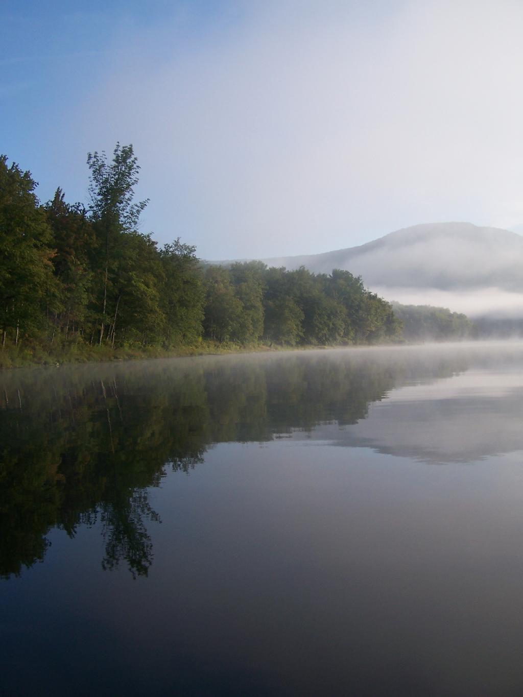
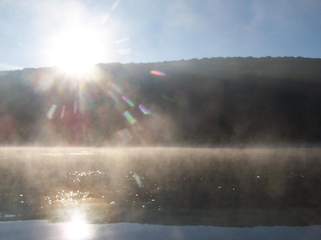
Towards the Dam. On this valley fog morning.
Barkaboom Mountain Before Dawn. The early rays of sun have yet to hit it on this beautiful morning.
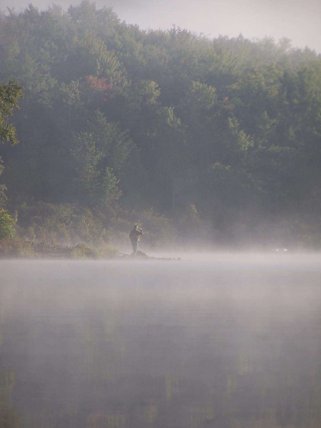
Fishermen. Out before the crack of dawn, dropping their line and testing their luck on Big Pond.
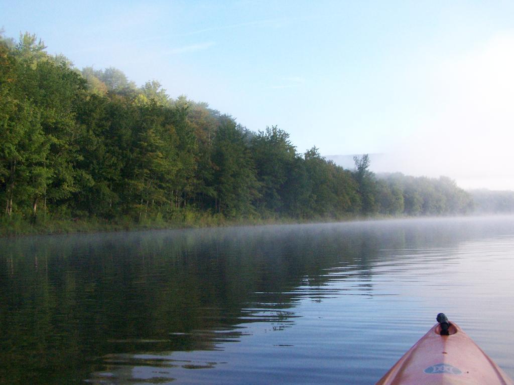
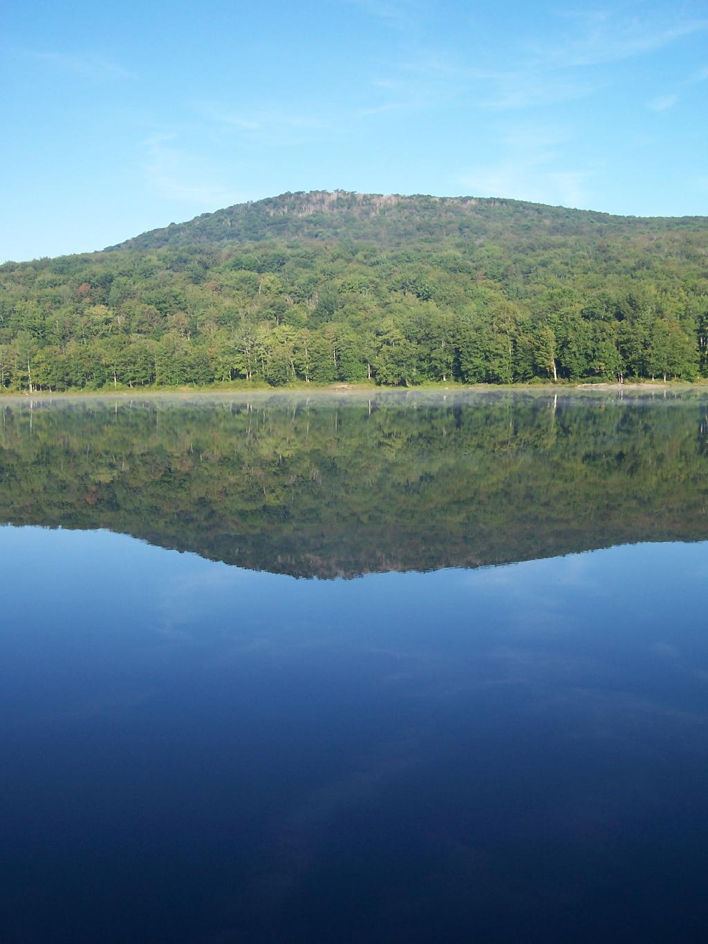
Light Hits Bank. The first rays hit the western bank of the lake, providing some of the greens of the day once again.
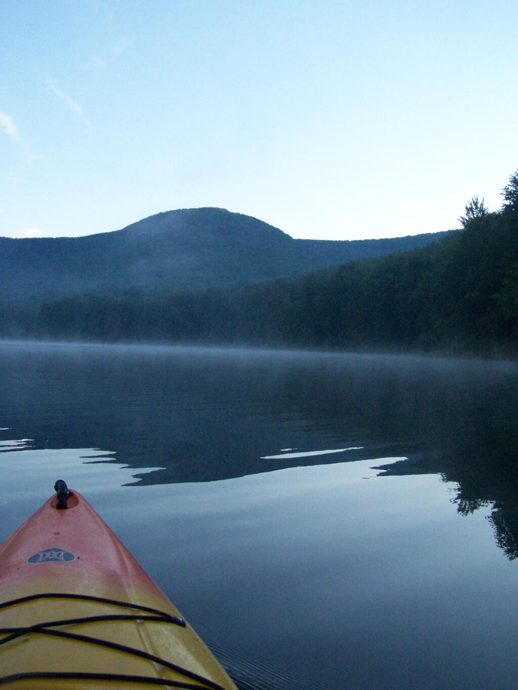
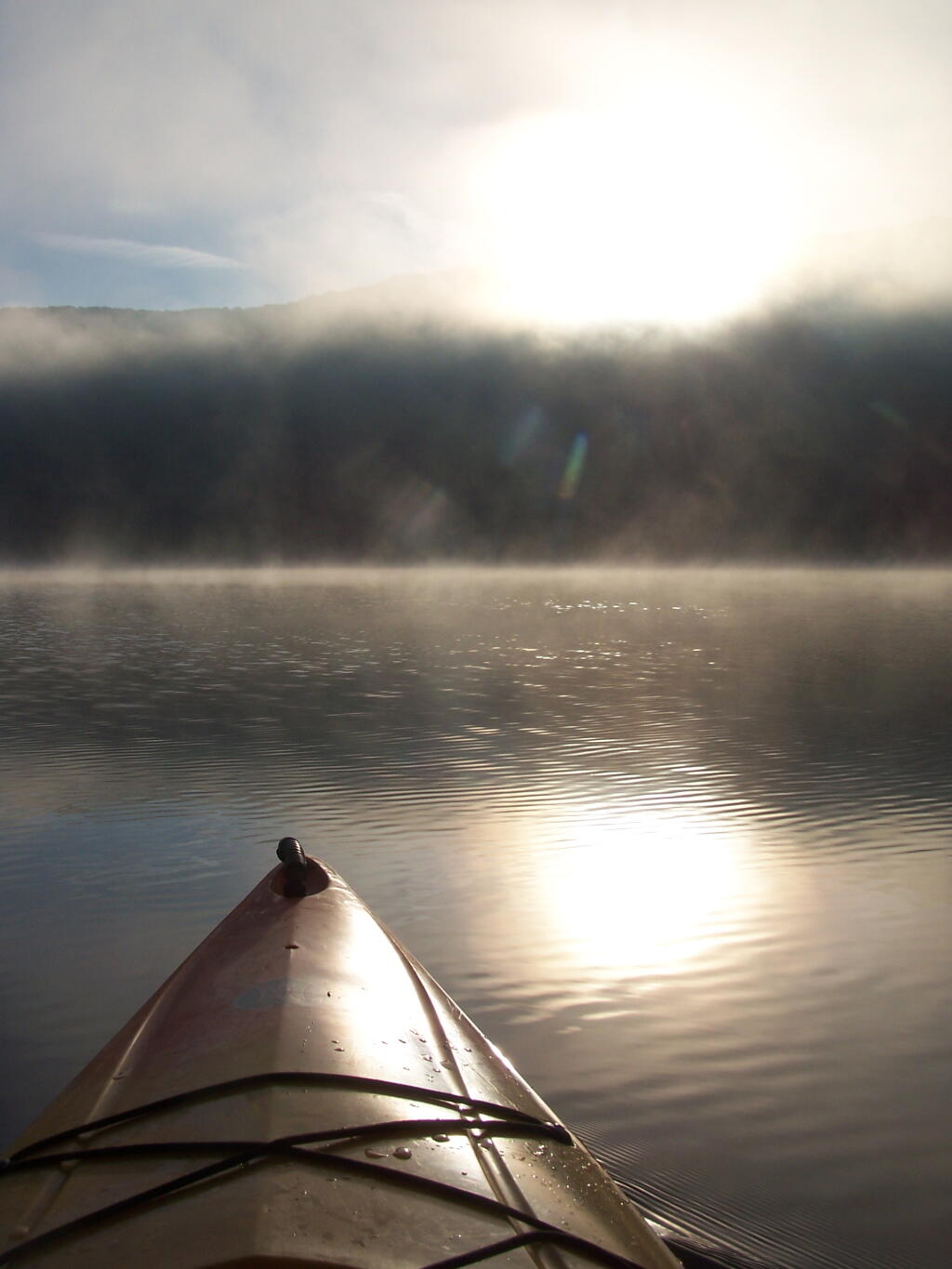
Sunrises. Through the fog as I’m paddling around the lake.
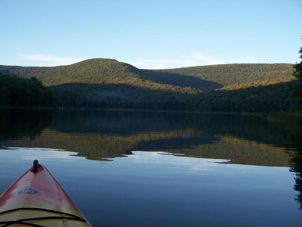
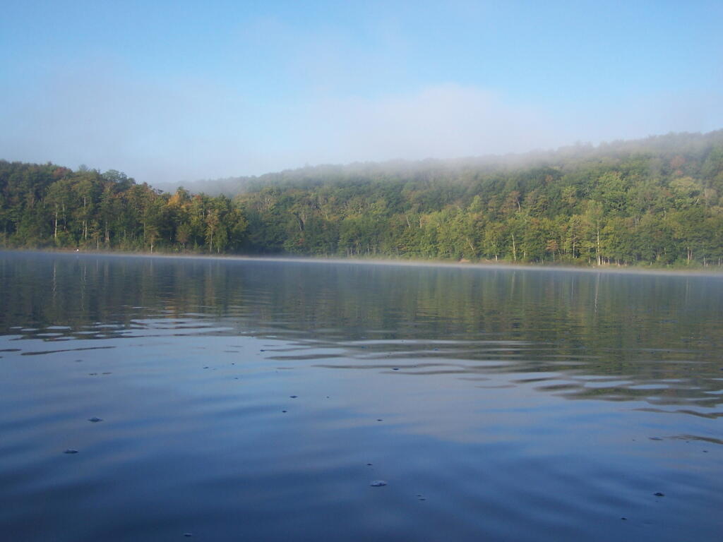
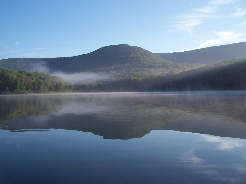
Fog is Burning Off. Along the Western Edge of the lake towards Barkaboom Mountain.
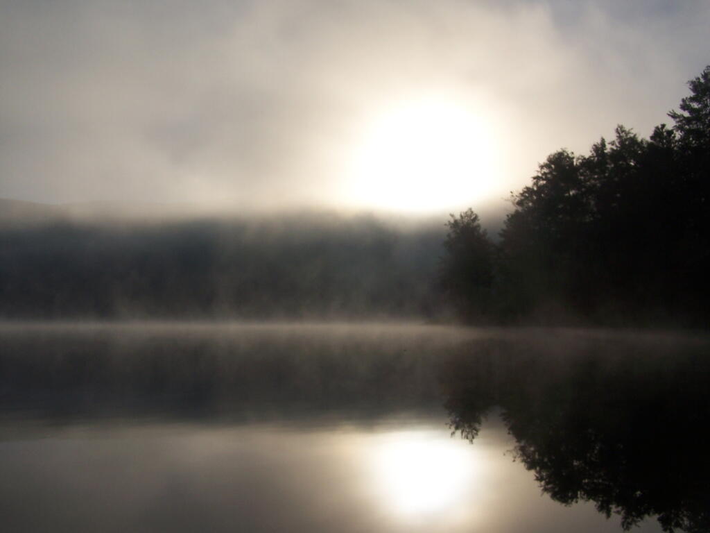
Rays of Sun. Sparkle down on the lake as it continues to clear on out.
Fishing. Man covers his eyes as he looks out across the water.
South. Looking down and across the lake as morning arrives.
Sunlight sparkles through the trees. Good Morning on Big Pond.
Barkaboom Mountain Reflects On the Lake.
Across the Lake. As I am making breakfast on this Sunday morning in the Catskills.
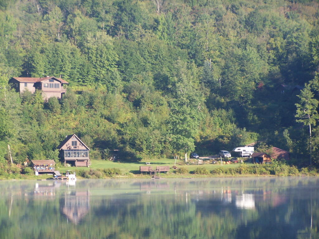
Inholding. While most of Big Pond is part of the Middle Mountain Wild Forest, about 200 feet of shore line is privately owned. The folks in the cabin where really friendly when they stopped by in their electric pontoon boat, but it did kind of wreck the scenic view especially from where I was camping.
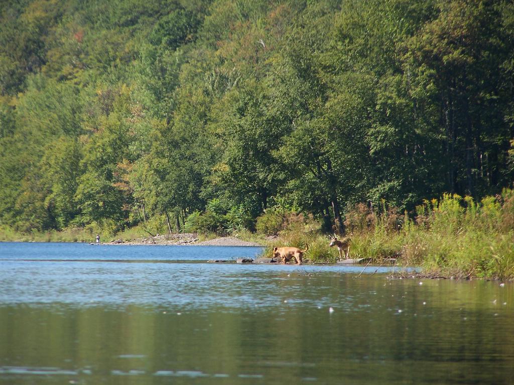
Dogs Swimming in Big Pond. This is at one of the other campsites at Big Pond.
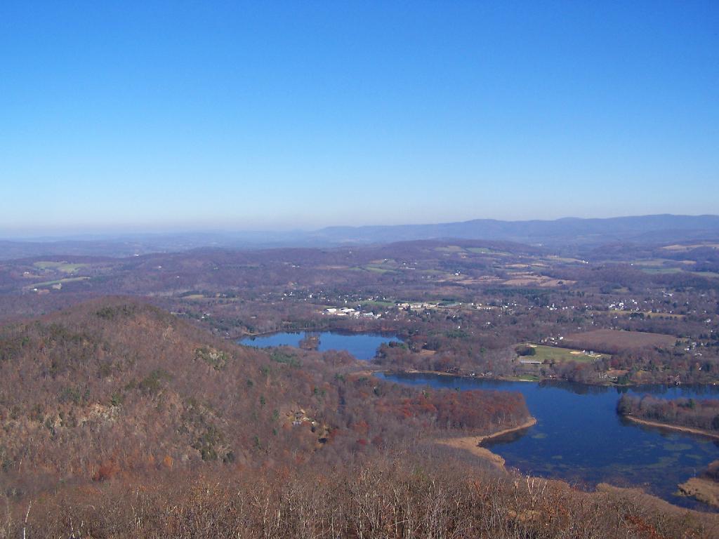
Big Pond, as seen from the Parking Area.
Here is a map of Big Pond. The inholding is not shown on this map, and the DEC land boundaries are incorrect, extending farther north then the map shows.
Big Pond is one of the two larger ponds in the Catskills accessible to the public. Located in the Western Catskills, near Alder Pond, it has eight paddle in or hike in tent sites, and some pretty views. I spent the night camping up there on August 27.
Night is Creeping Up on Me. I didn’t realize how quickly it got late at Big Pond, and I had even started dinner. To make matters worst, my white-gas lantern wouldn’t start, so I had to do everything by flash light.
Dark Night Before the Moonrose. All you can see is by the light of the campfire. I didn’t have a lantern, because it refused to start.
Waking Up at Big Pond. Looking out the window of tent prior to dawn, with a little smoke from the fire still smoldering, and lots of fog.
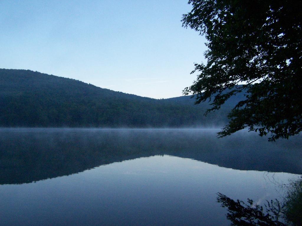
Pond Prior to Sunrise. The fog rises above the pond. It looks perfect for taking photos, so I decide to hop in the kayak, and go for a paddle.
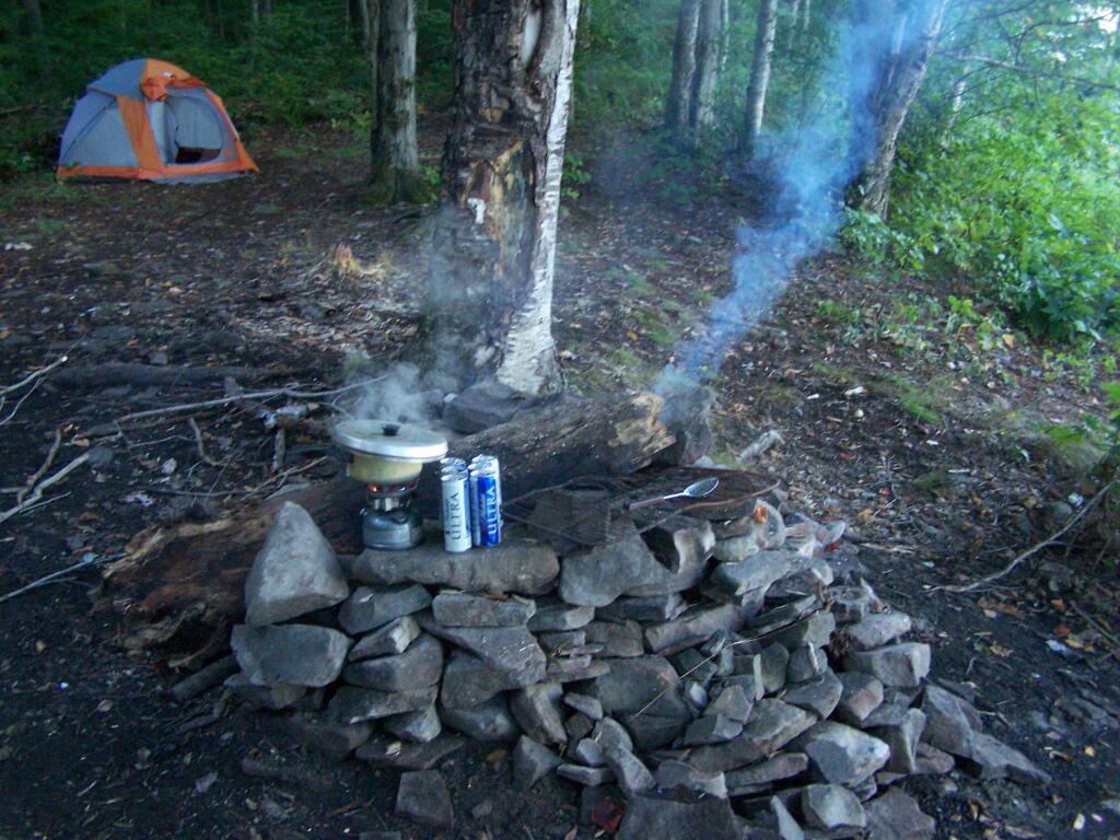
Campsite. Yes, the beer cans are empty, and I am using that pot to boil water for coffee, because I left the coffee pot in the truck. I doesn’t matter much because I use a coffee press to make the actual coffee.
Firepit. This is while I’m making coffee and getting ready for the day.
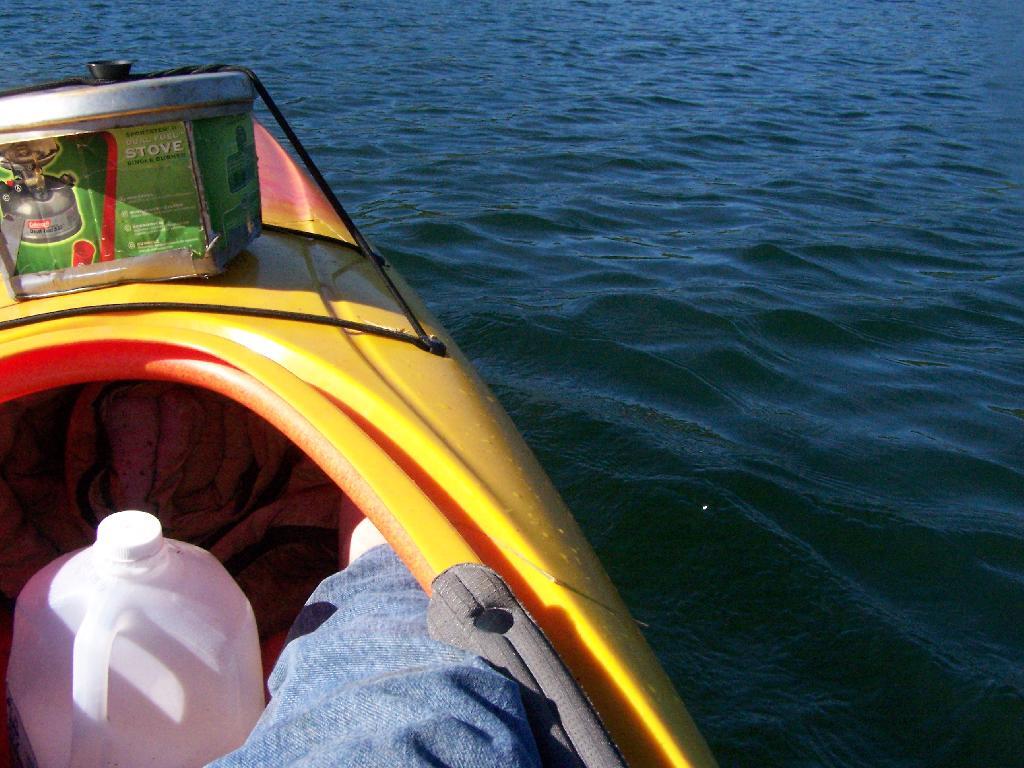
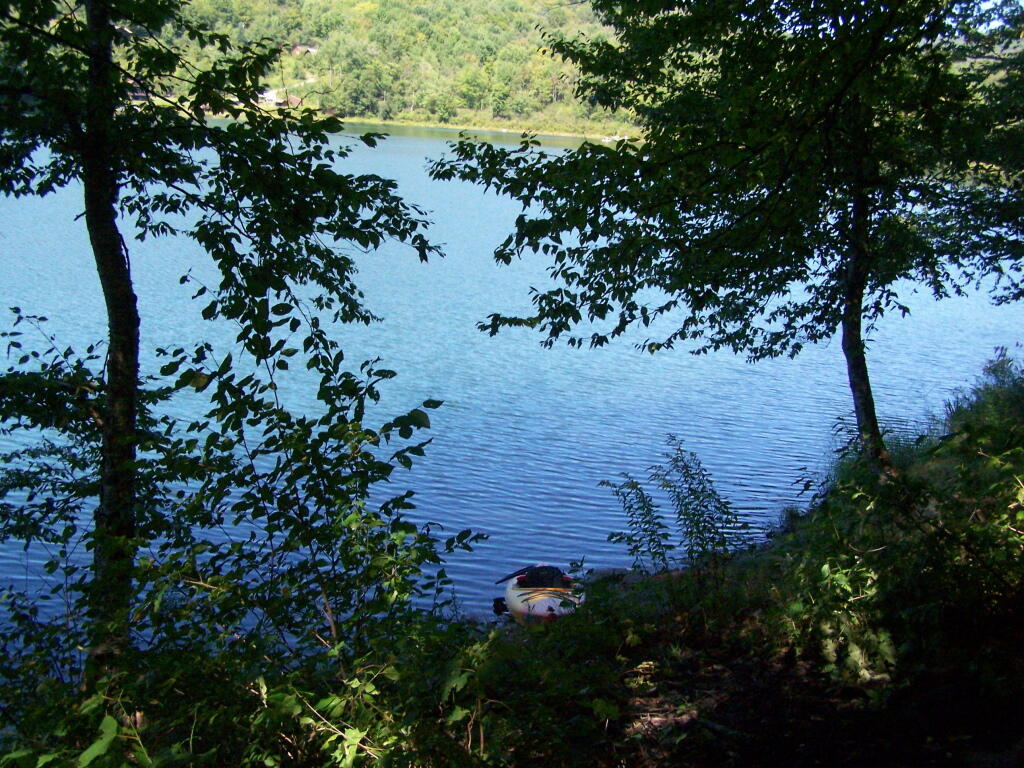
Paddling Gear Back. With all the camping gear in the kayak, or most of it, including the stove and pot top on the deck. The kayak rode well with all the gear.
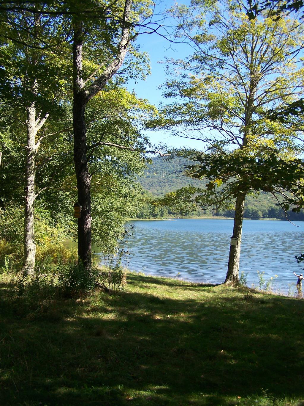
Big Pond from Parking Area. It certainly was quite pretty out there, and a great unguarded swimming beach that was packed with people.
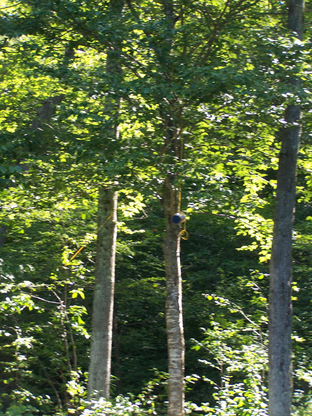
Bear Bag. Actually it was a peanut can, with cookies and other things. And despite the bear coming through, he left my site alone, and didn’t even try to get the bear bag that was about 12-13 feet off the ground, suspended from a limb, and 10 feet plus from the tree where it hung.
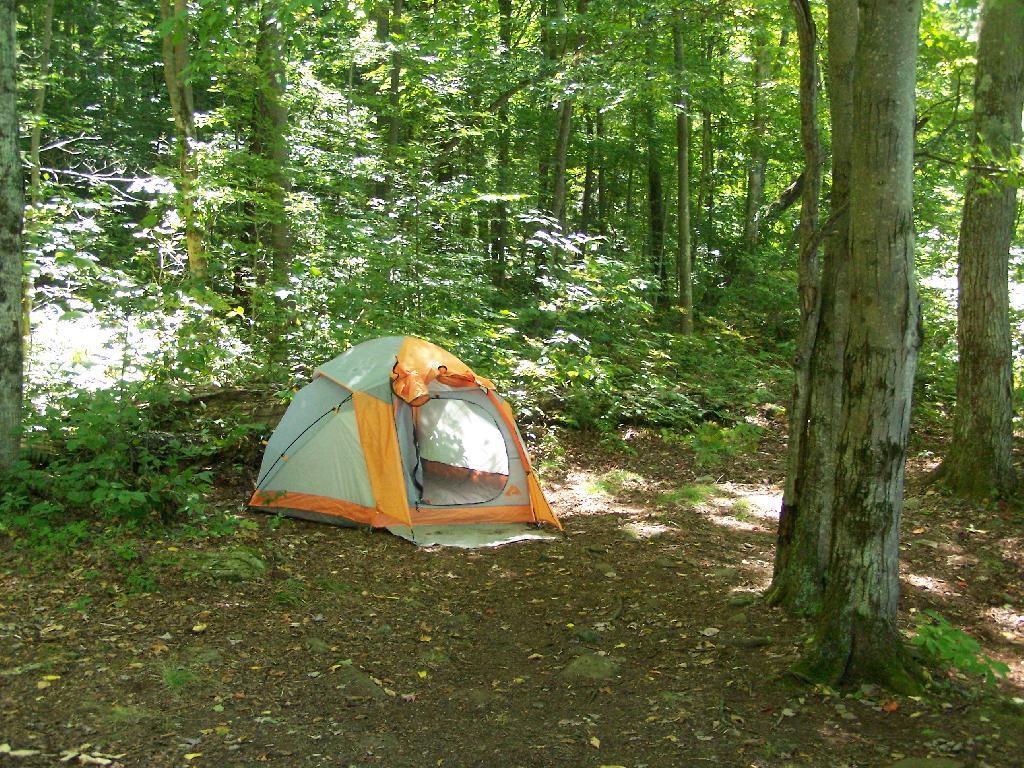
Tent. Yes, occasionally I will sleep in a tent. This actually is the second time I’ve slept in a tent this year. One other time I slept in a lean-to and the rest has been truck camping.
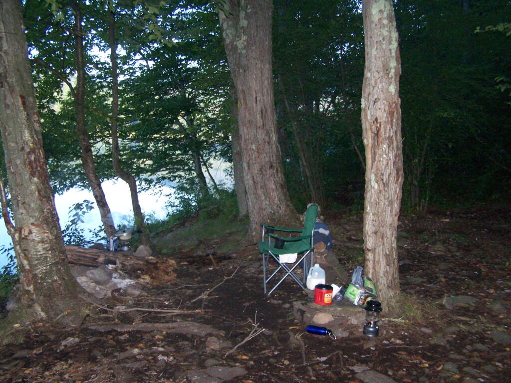
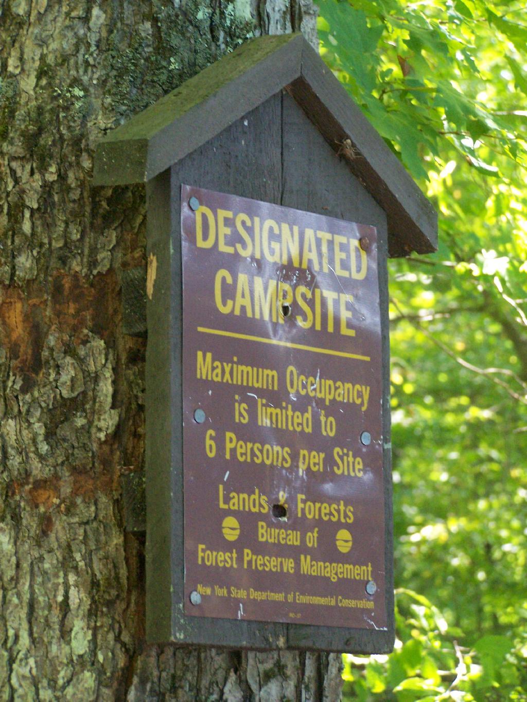
Designated Campsite. This is one of eight designated campsites around Big Pond. They are free to use, but are limited to 6 people, and you can only stay at one site for 3 nights without a permit.
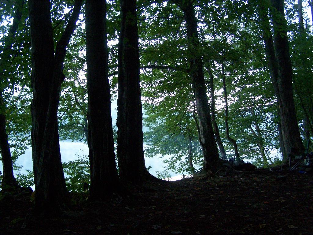
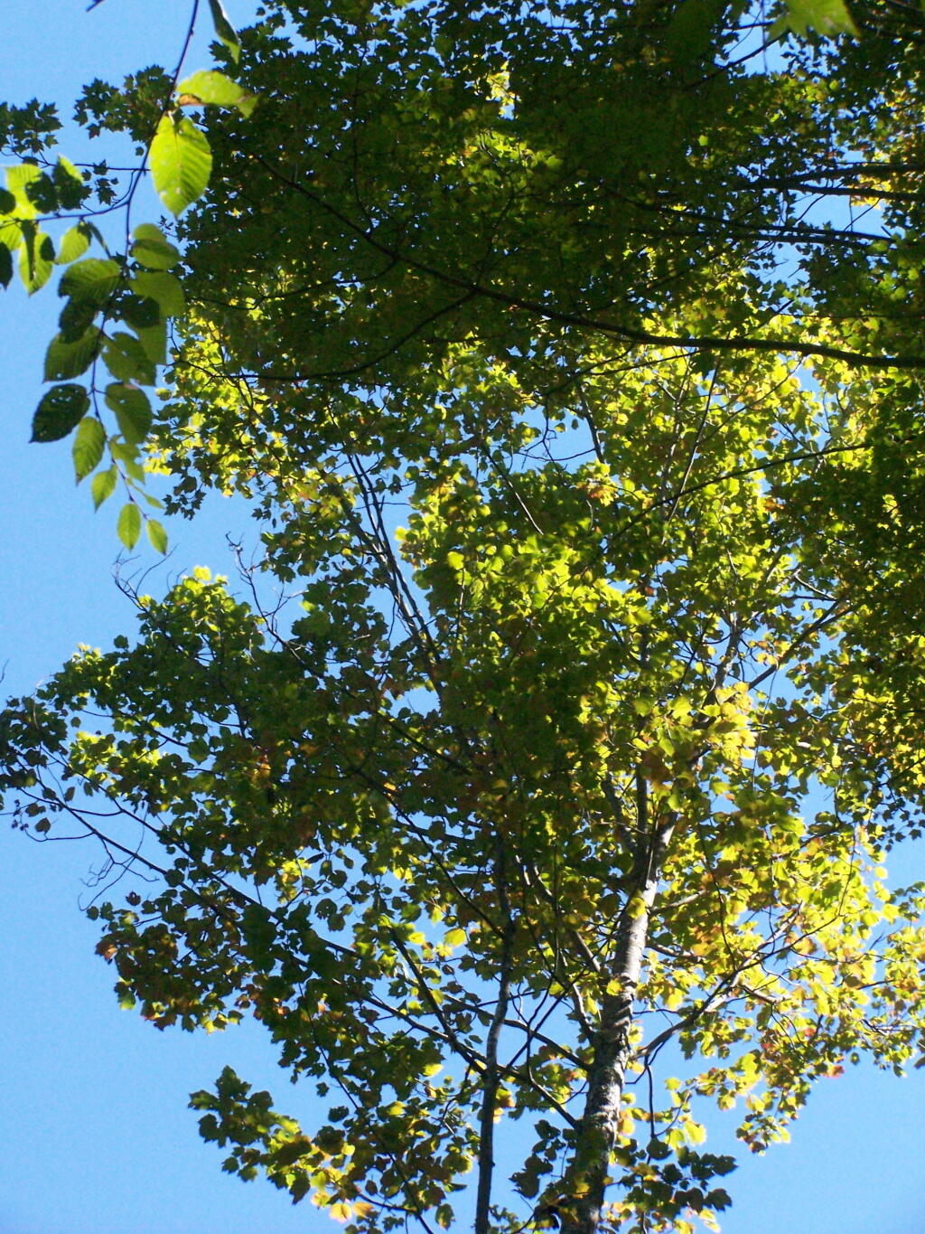
Looking Up at the Ash Trees. I was looking up at all the ash trees around the lake, and realizing that within 20-30 years they will all be gone. The maples will most likely replace them, but they also risk the Asian Longhorn Beetle.
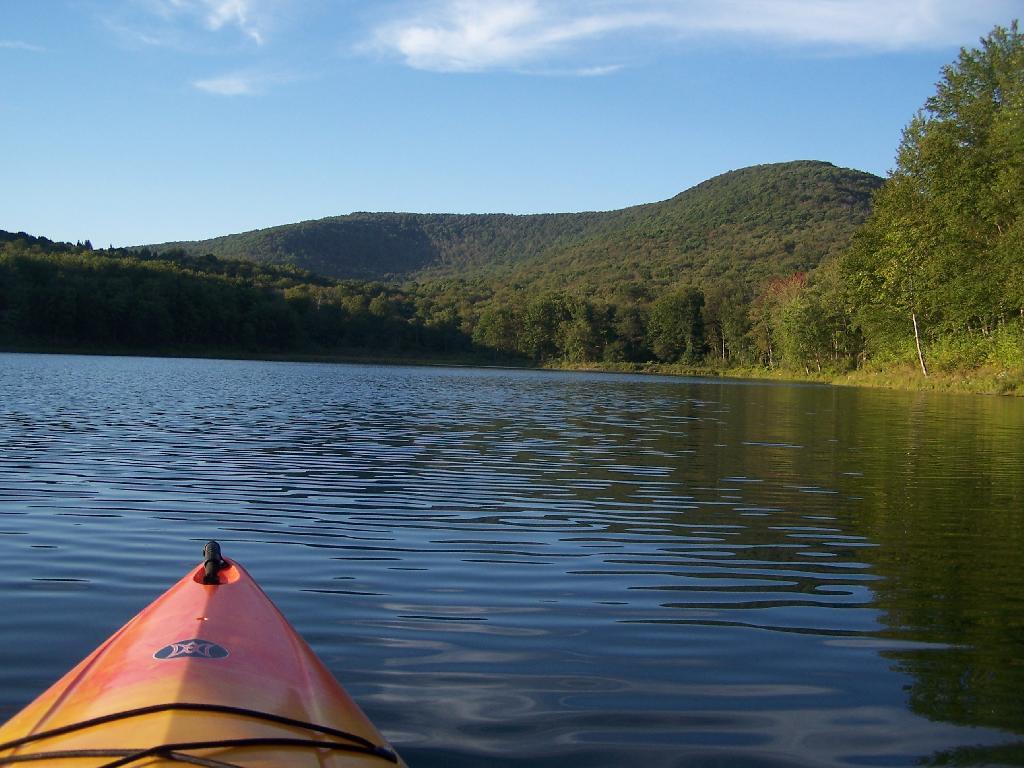
Parked at Campsite. It was a pretty blue lake in the morning.
Finally Put That Smoldering Log Out. Remind me again, never to use a big punky old log like that in a campfire. It took a ton of water and rubbing the coals to get them to snuff out.
Blue and Green. I just liked this view from the campsite.
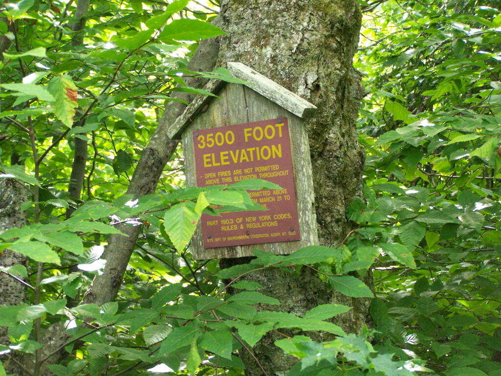
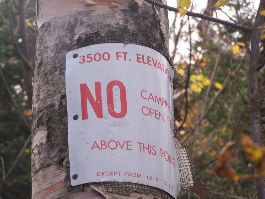
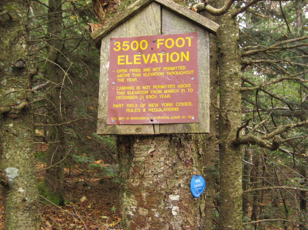
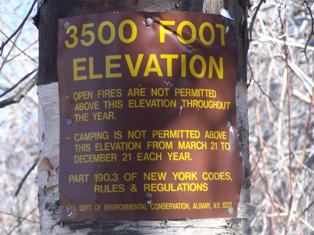
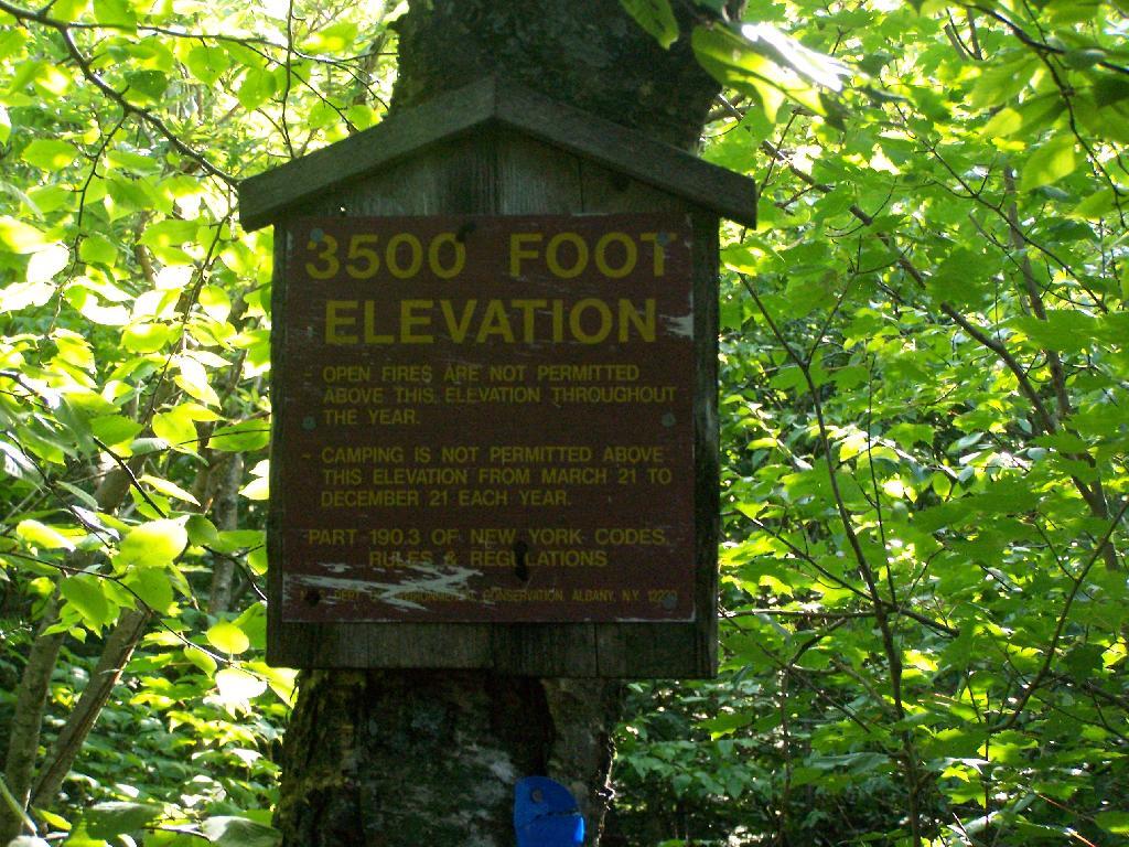
When you climb above 3,500 feet elevation in the Catskill High Peaks, a special set of regulations is in effect that prohibits camping except in the winter, and bans open fires throughout the year. This is because the eco-systems above this elevation on the 35-high peak mountains are viewed by the Environmental Conservation Department as ecologically sensitive.
I didn’t take the 3,500 feet signs on every mountain I climbed, most notably skipping over the sign on Hunter Mountain, Windham High Peak, and Black Dome.
Balsam Mountain.
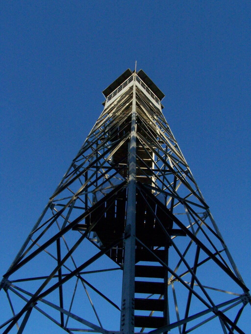
Hiking up to the Balsam Fire Tower, about a 1/4 mile or maybe 200 feet below the tower.
Indian Head Mountain.
Climbing up the east face of the Indian Head Mountain, this sign is maybe 3/4 of the the westerly face of the mountain.
Panther Mountain.
You see Panther Mountain‘s 3500 feet sign about a 1/4 mile and 200 feet more of climbing before you reach the final ascent.
Plateau Mountain.
The sign on Plateau Mountain is about a half mile from the top, although the last portion is relatively flat.
Slide Mountain.
Slide Mountain, the tallest mountain in the Catskills at over 4,200 feet. The sign is probably a mile away from the final ascent.
Twin Mountain.
The sign is the second of two signs on the way up to the top of Twin Mountain on Devil’s Path.
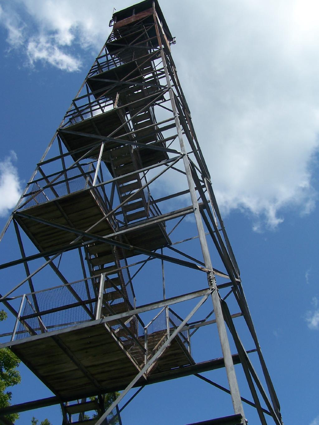
This past year I have spent a great deal of time hiking up mountains and visiting fire towers. Here are pictures of the second five fire towers I visited this year, along with a short description and maps in the second part of this series.
June 29, 2009 & June 30, 2009:
Sugar Hill Fire Tower
The Sixth Tower I visited, was Sugar Hill State Forest / Horse Camp is located outside of Watkins Glen. It’s an equestrian facility with 50 miles of trail, along with a small hiking/no horses area. They have free camping, and 3 equestrian lean-tos and one hiker lean-to on the Finger Lakes Trail. A definitely cool place to visit if your in the Finger Lakes.
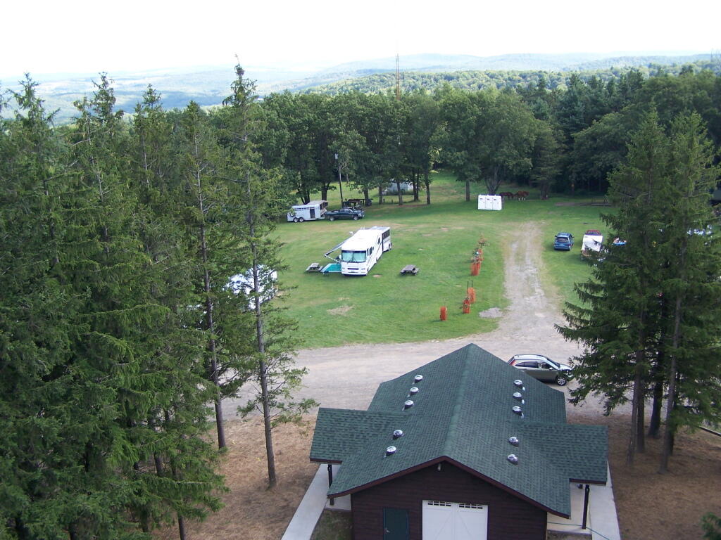
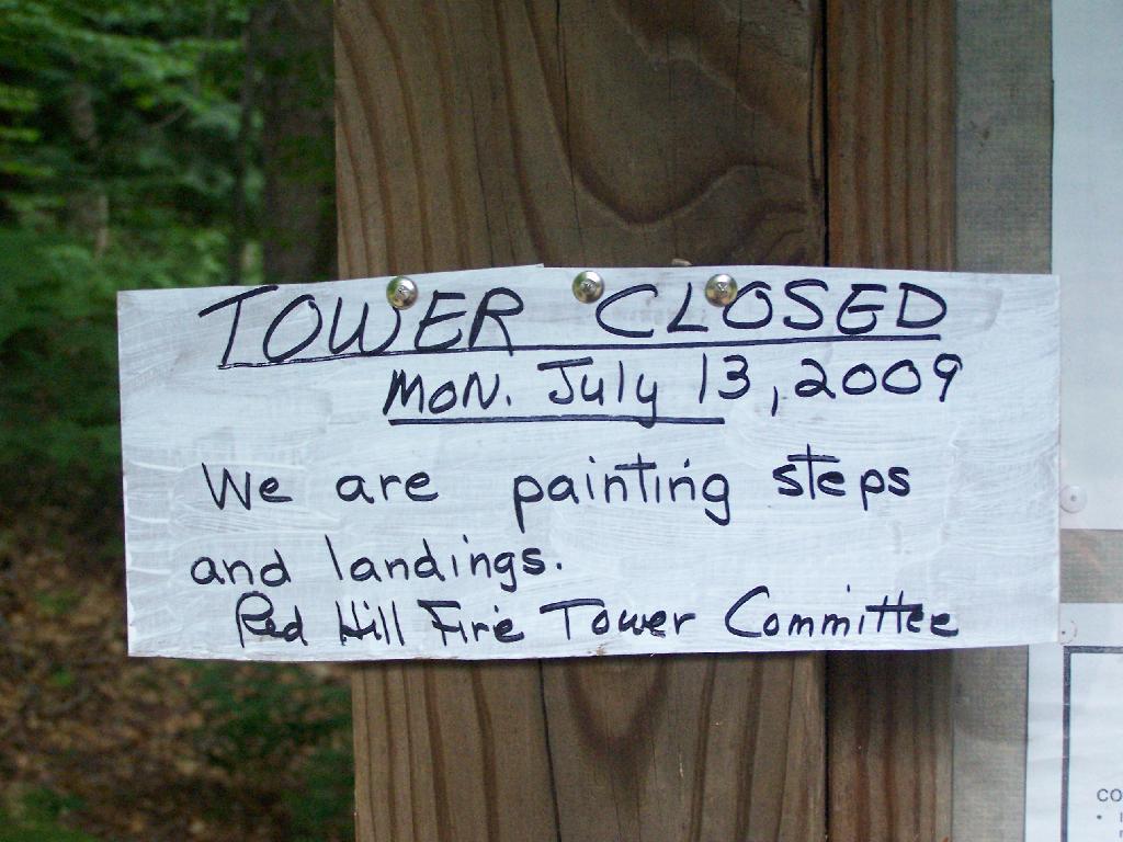
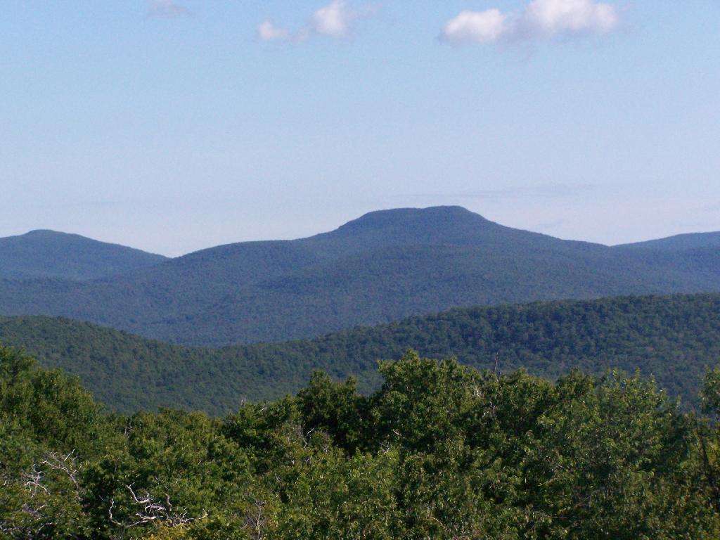
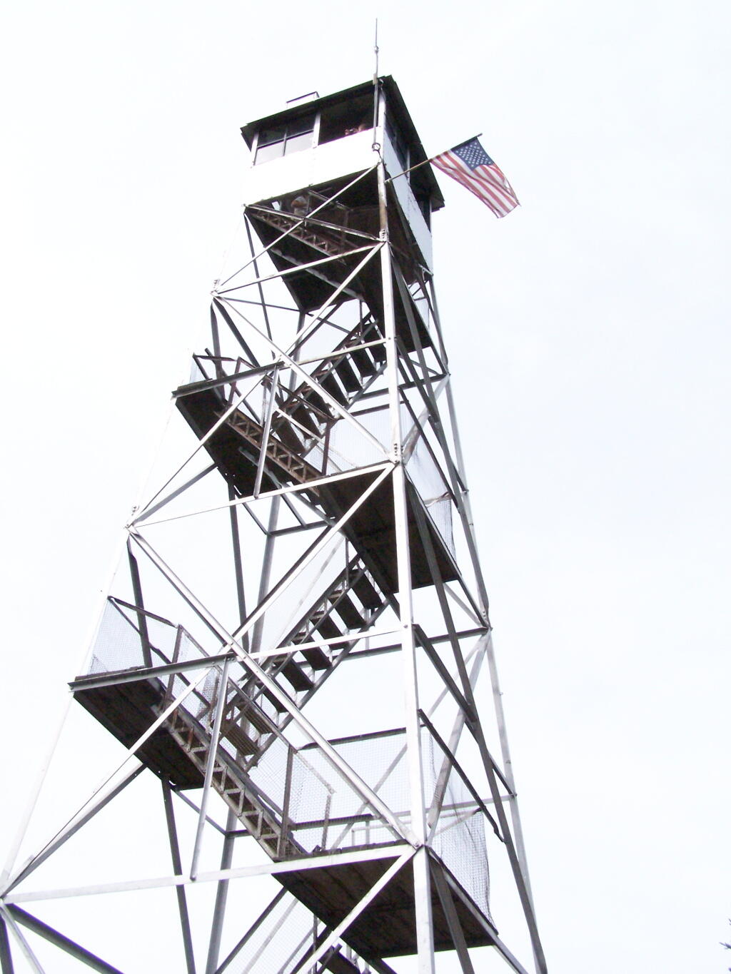
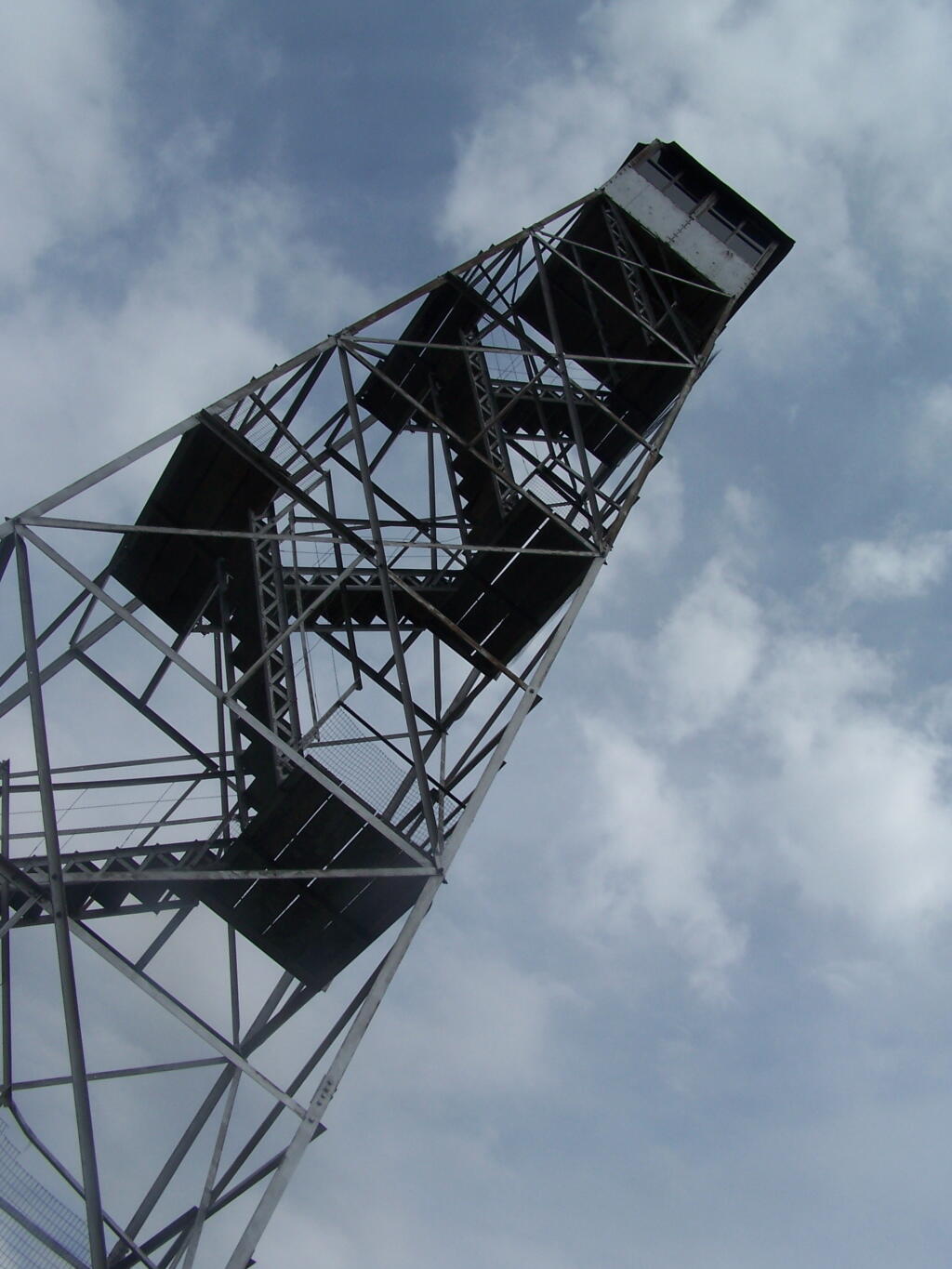
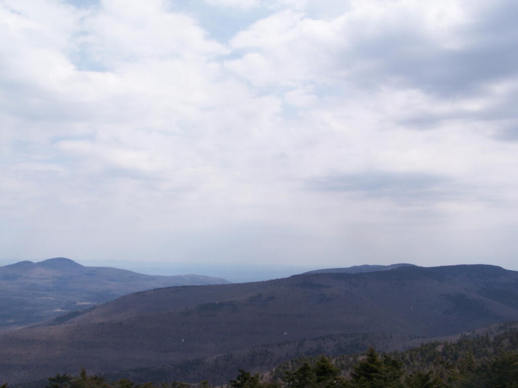
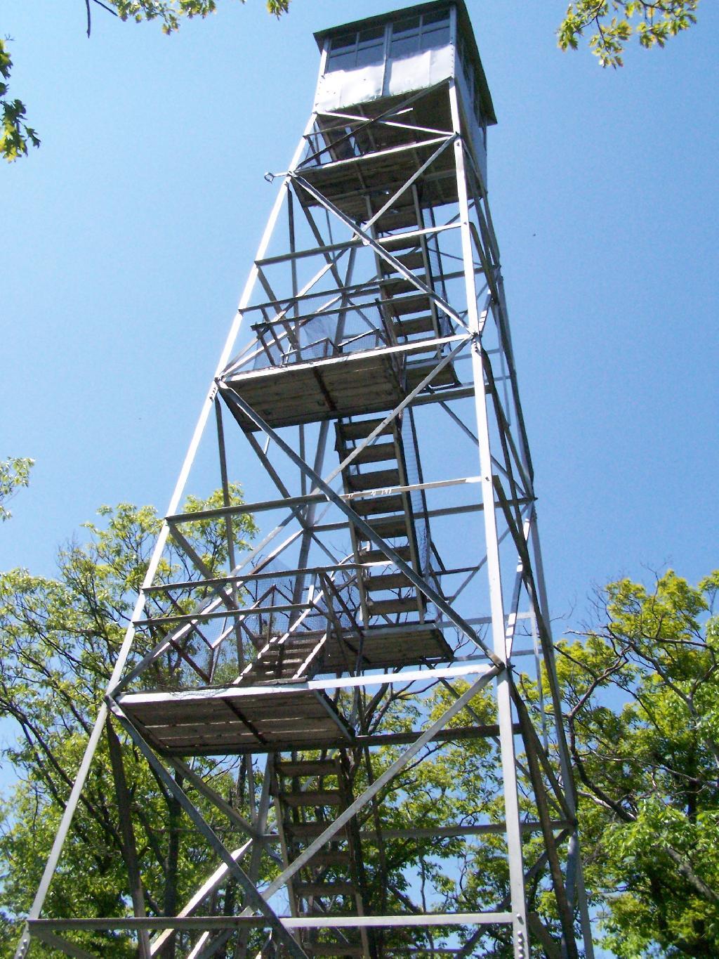
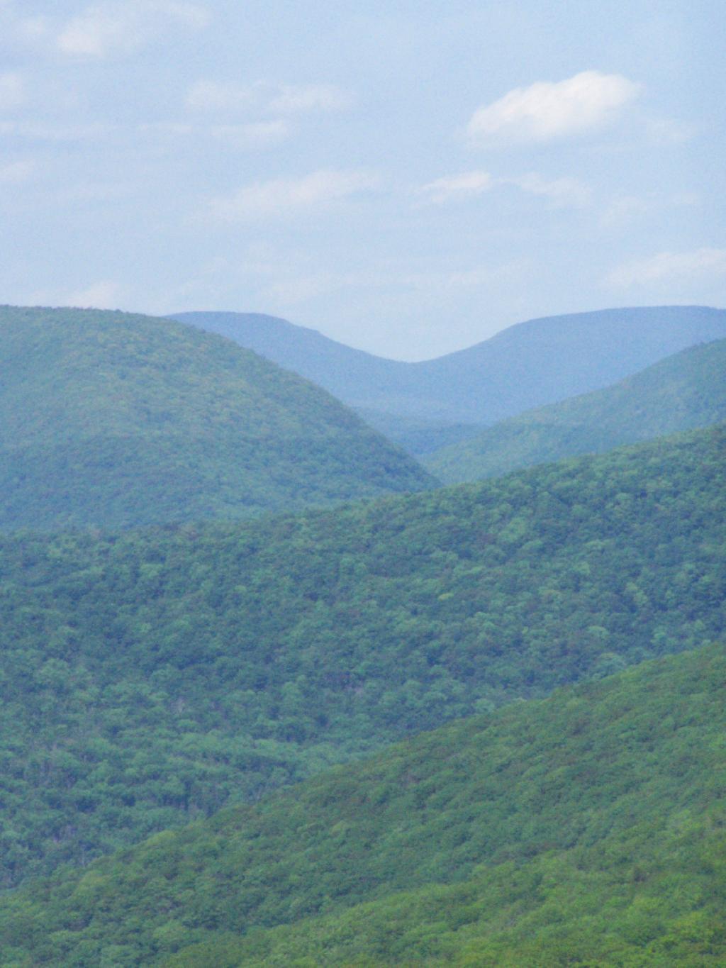
The seventh tower I visited, Red Hill Fire Tower is located south west of the Catskills, barely in the park, with views of the south-western Catskills, the High Peaks, and down towards the Delaware River in Pennsylvania.
The Eightieth Tower I visited, was Balsam Lake Fire Tower is located in about 10 miles south east of Margretville in a very rural portion of the Catskill Mountains. It is the only tower in the Catskills actively staffed by DEC Fire Rangers on weekend (mostly acting as guides).
August 7, 2009 & October 10, 2009:
Leonard Hill Fire Tower
The Nineth Tower, Leonard Hill Fire Tower is currently inaccessible, pending renovation. They have removed the bottom to flight of stairs to discourage people from climbing the tower. That said, the DEC Forest Ranger has cleared out a camp site/viewing area directly to the west of the Tower for those who want to enjoy the amazing view due west of the Western Catskills and Upper Schoharie Valley.
October 11, 2009 & October 12, 2009:
Mount Utsayantha Fire Tower
Mout Utsayantha was the Tenth Tower I visited. This fire tower is on a public village park, above Stamford, NY. You can drive right up to it — I visted it twice one weekend. It gives you amazing views of the western Catskills, the area around Summit and Emmenece State Forest, the Upper Schoharie Valley, and on clear days out towards Oneonta.
The Eleventh Tower: Rising 1,000 feet above the low lands of Pine Plains, this firetower gives you beautiful views of small towns, lakes, farmlands, mountains, and a five state region of the Hudson Valley on clear day.
This past year I have spent a great deal of time hiking up mountains and visiting fire towers. Here are pictures of the first five fire towers I visited this year, along with a short description and maps.
The first fire tower I climbed this year was Overlook Mountain Fire Tower outside of Woodstock. This tower is nearby the remains of the Overlook Mountain House and has some rather awesome views.
The second fire tower I climbed this year was Hunter Mountain Fire Tower outside of Hunter. This is the second highest mountain in the Catskills at 4040 feet. The views are less exciting compared to other mountains I’ve been up. I took the much steeper Beecker Hollow Trail, but one can take the longer horse trail in from the west side, if you don’t mind stepping in horse manure.
The third fire tower I climbed was Hadley Mountain Fire Tower in the Adirondacks near Hadley and NY 9N. This has some amazing views of the Great Sacanadaga Lake along with the Southern Adirondacks.
April 19, 2009 & August 2, 2009:
Beebe Hill Fire Tower
The fourth firetower I climbed this was Beebe Hill in the Taconics near Exit B3 of the NYS Thruway Berkshire Spur. It has great views of Northern Columbia County’s rolling country. There also is the Chance of Thunder Lean-to nearby the fire tower, so you can climb it up at night like I did one beautiful Saturday in August.
The fifth fire tower I climbed this was Mount Tremper in the Catskills. Despite having almost no views until you climb the tower, it does have some interesting views of the interior Catskill Mountains. It was a somewhat hot and hazy day when I climbed the mountain.
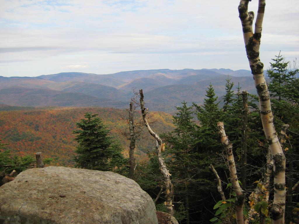
The same day I visited Giant Ledge, I also hiked up Panther Mountain. Panther Mountain is about 750 feet higher then Giant Ledge, and is one of the high peaks, at an elevation over 3,500.
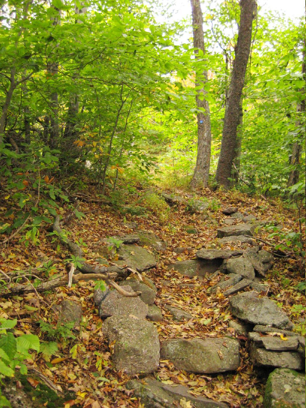
Portions of the trail are made up of rock stairs up the mountain. Other parts you climbed up rocks, but nothing too steep.
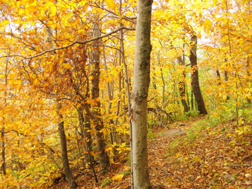
Along the trail in full color.
Interesting swamp with the ferns a bright yellow color.
A top the mountain, one of the first views is on top of a boulder.
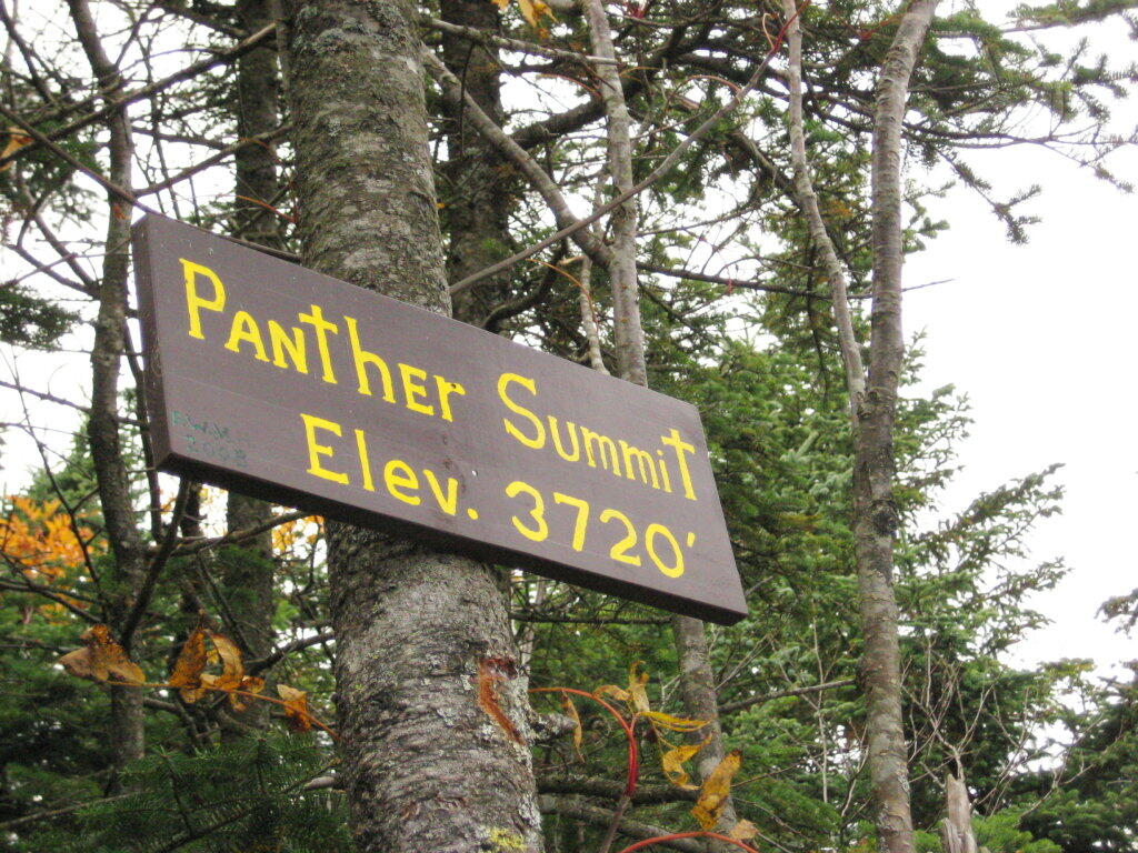
The Panther Summit is at 3,720 feet.
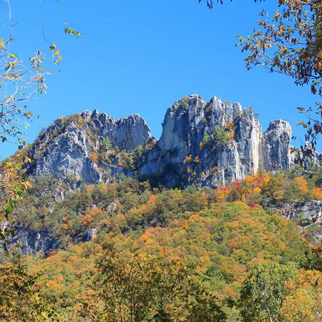
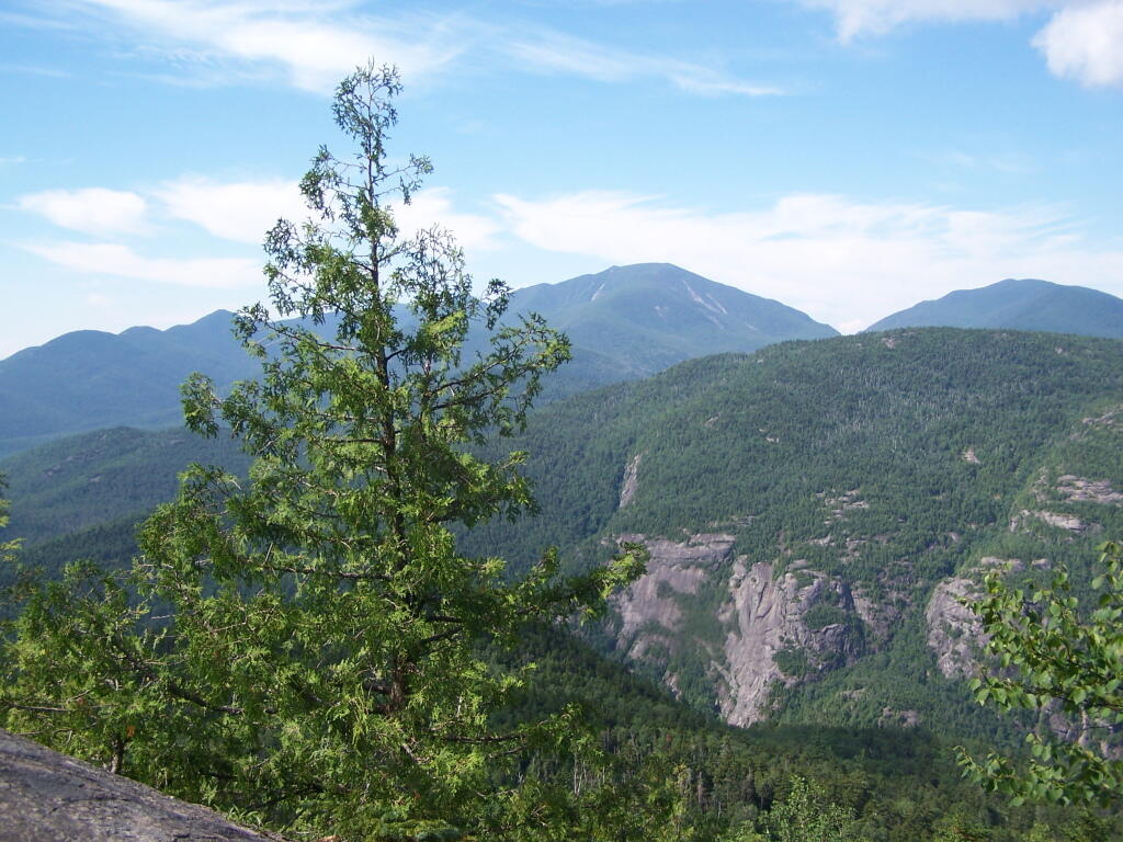
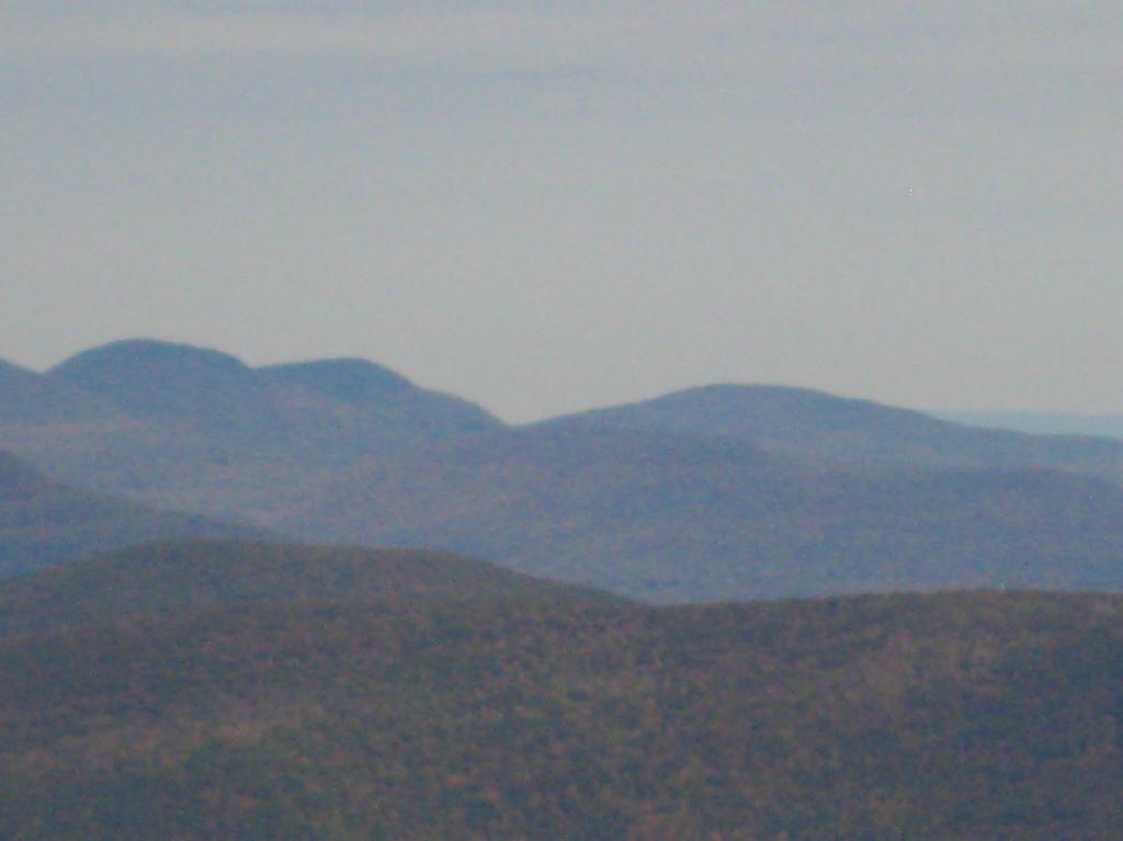
One of the best views off the mountain was how clear Indian Head Mountain looks from off of Panther Mountain.
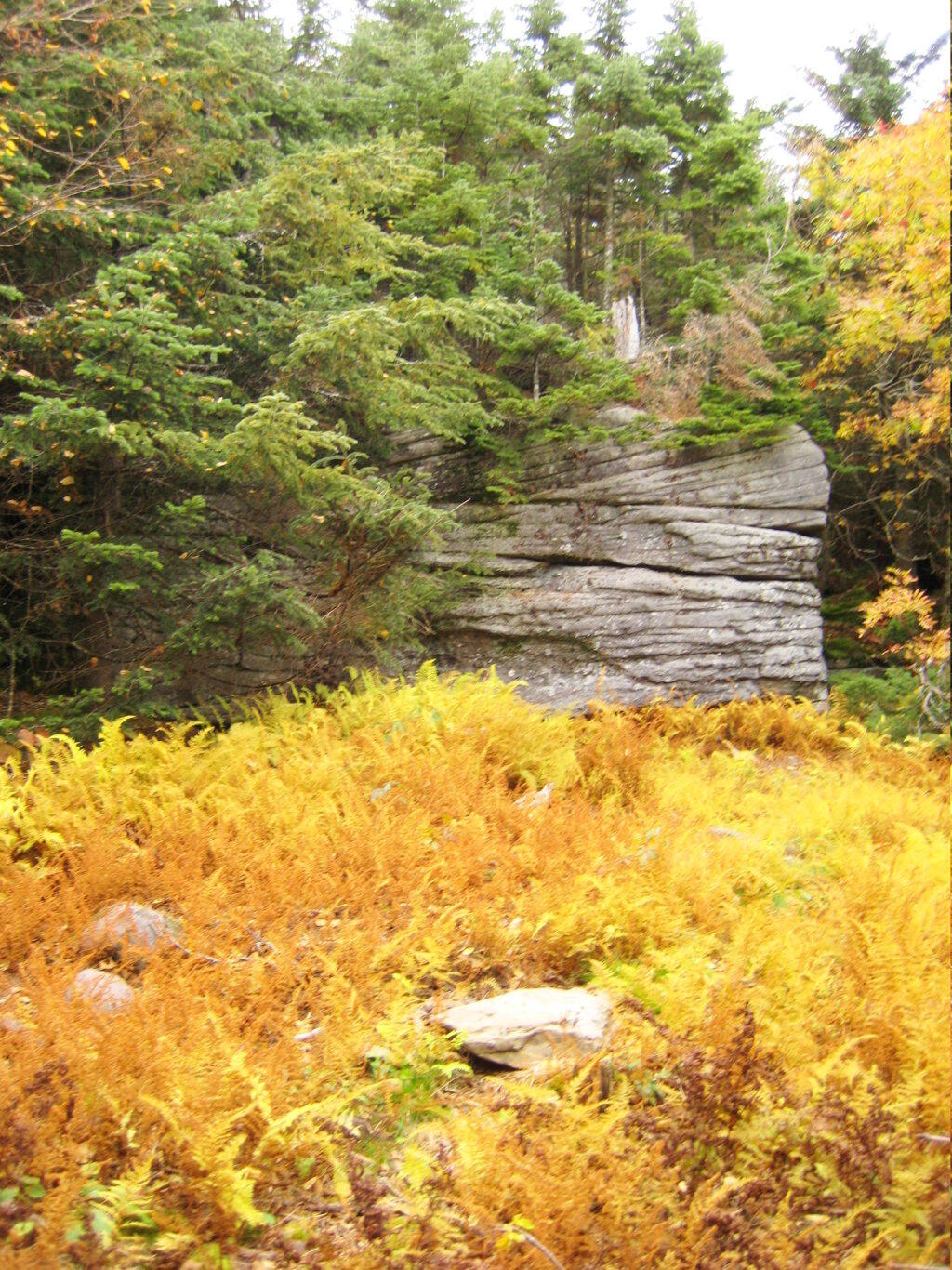
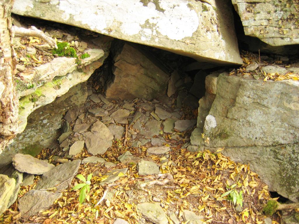
Off the trail, there is this cute little cave.
Looking into the Woodlawn Valley.
Mountains through the valley, looking off of Panther Mountain.