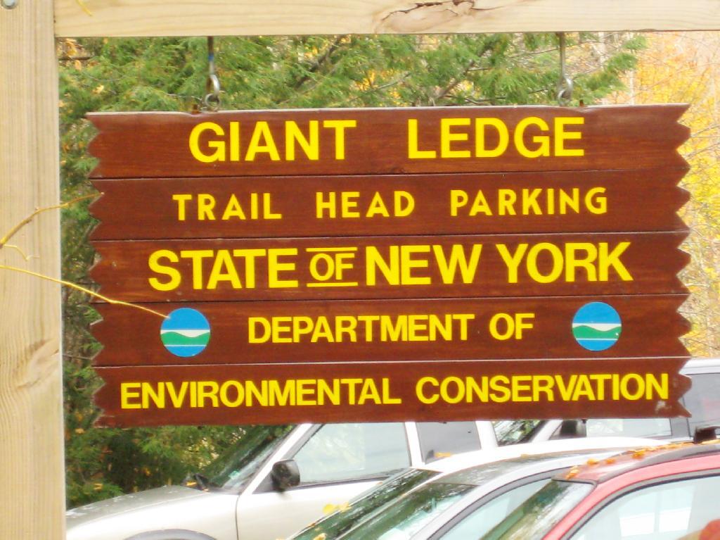
Giant Ledge is a relatively flat hill located on the ridge between Slide Mountain and Panther Mountain. It can be accessed from the Giant Ledge Parking Area, off of hairpin turn on Slide Mountain Road.
I went hiking on Columbus Day, a little past peak foliage system after spending two nights camping out in Schoharie County. It is a short hike.
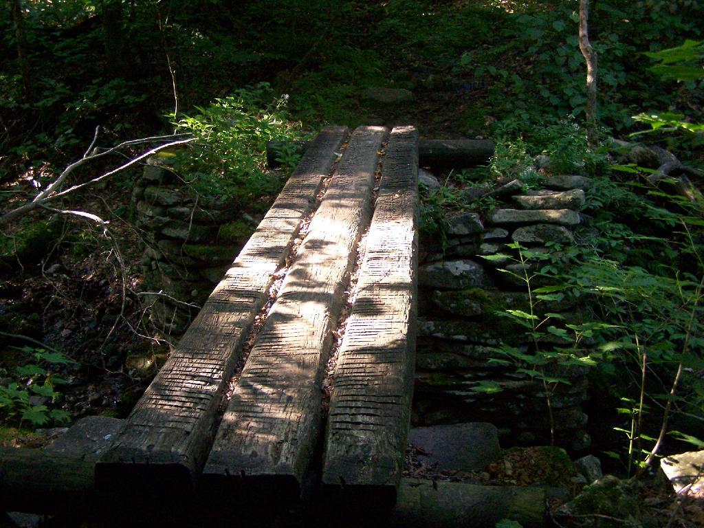
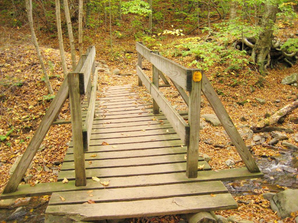
Here is cute little bridge that goes over an unamed creek, running down the northern face of Slide Mountain.
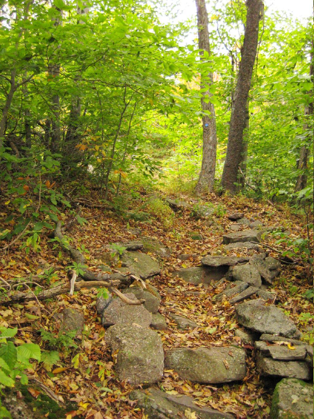
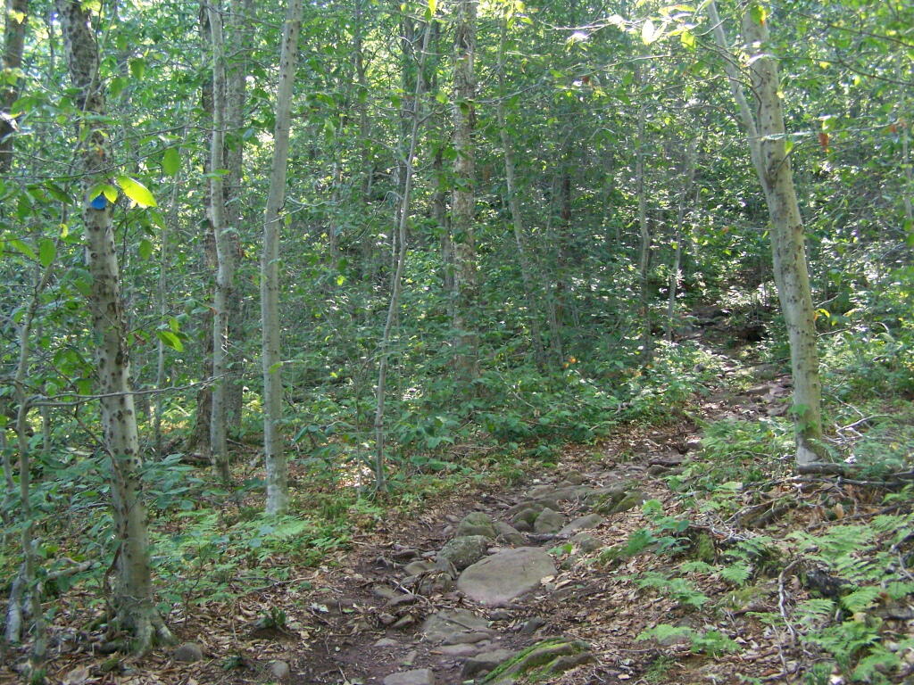
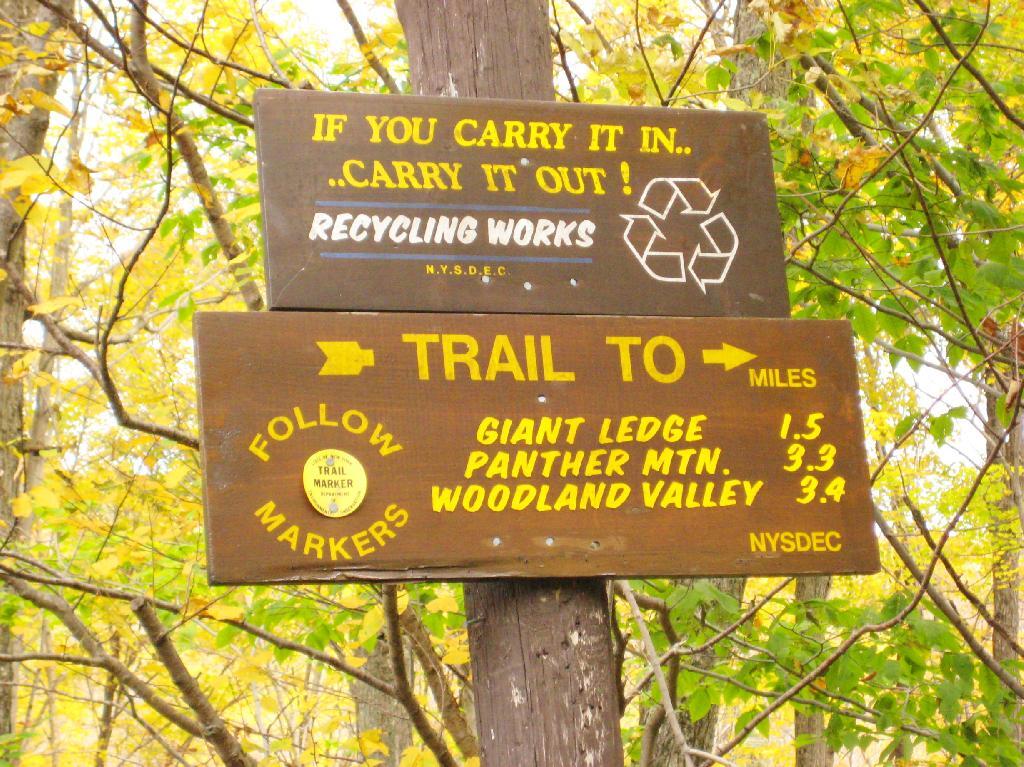
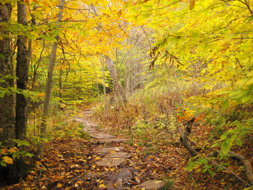
After a moderately steep 3/4 mile hike, you reach the “pass” that goes between Slide Mountain and Panther Mountain. This portion is relatively flat, until you reach the last 150 feet of elevation gain, to reach the top of Giant Ledge.
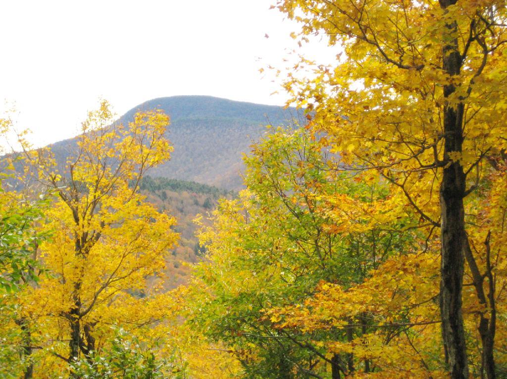
Here is Slide Mountain, peaking through the trees as your going up to the last bit to Giant Ledge.
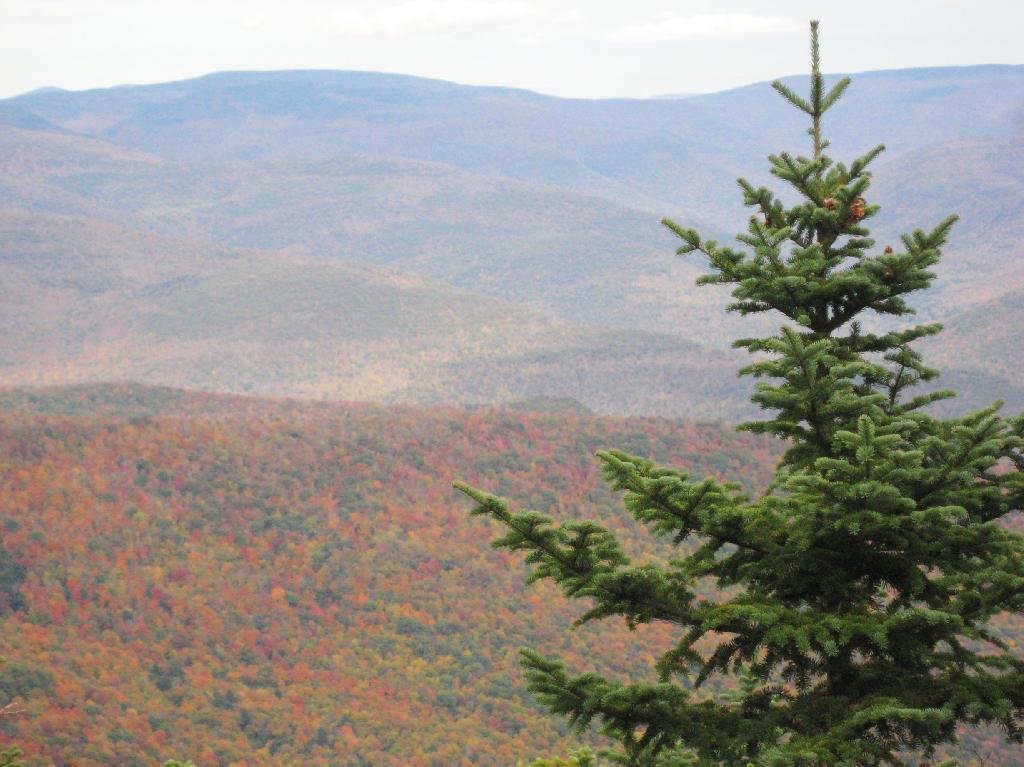
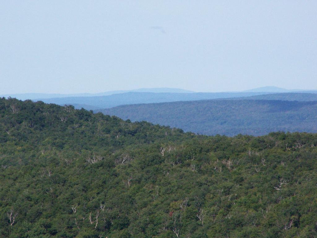
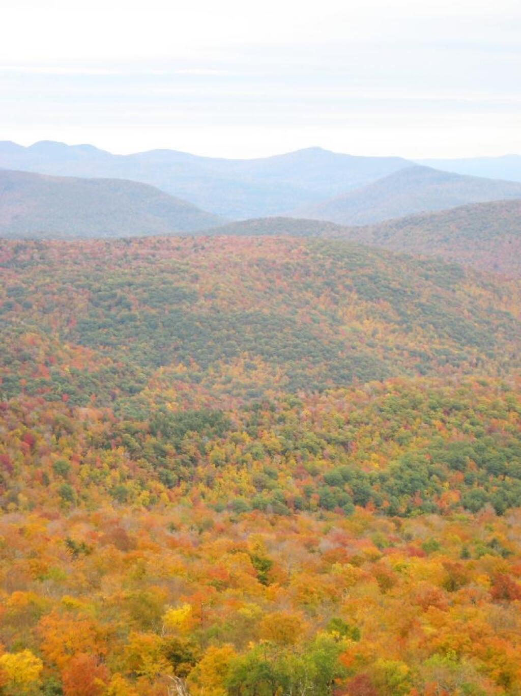
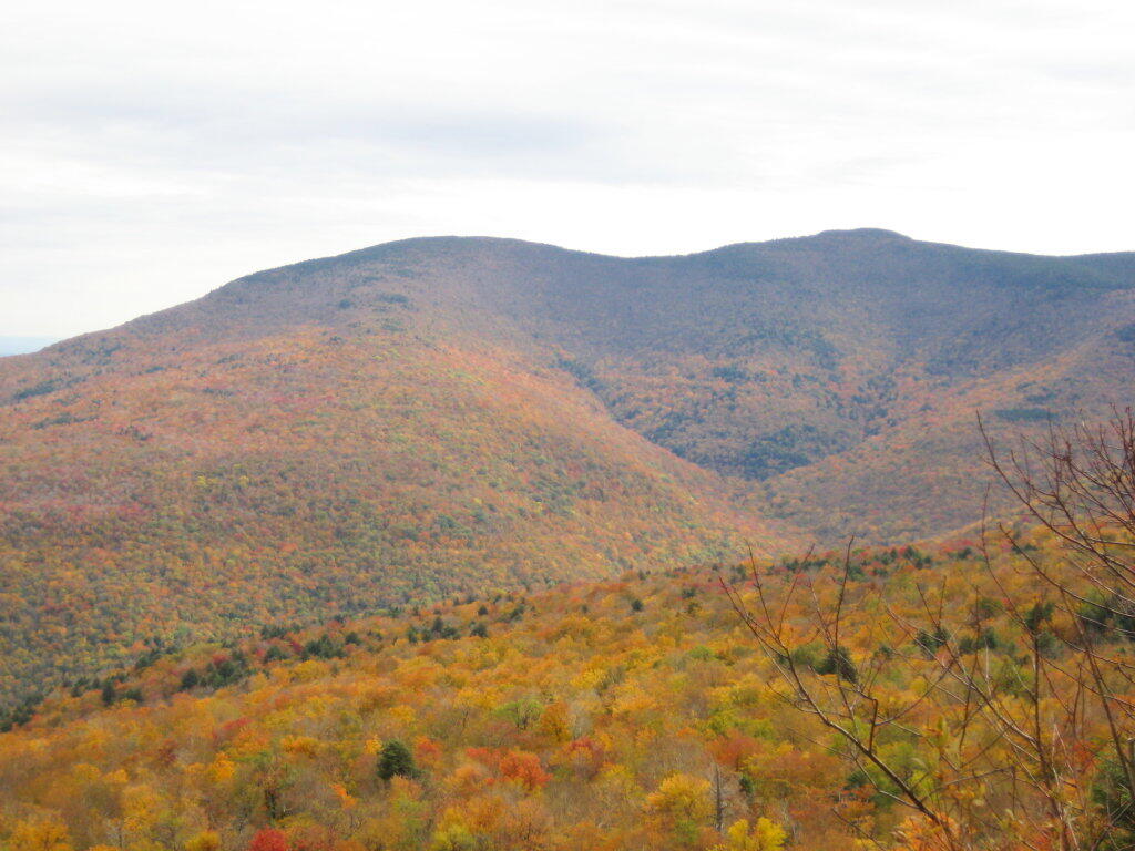
Looking off Giant Ledge, towards Woodlawn Valley (in the colorful foreground), with Plateau Mountain, Twin Mountain, Indian Head Mountain, and in the middle, Tremper Mountain.
Here is the Wittenberg and Cornell Mountains.
This is the Woodlawn Valley’s beautiful colors.
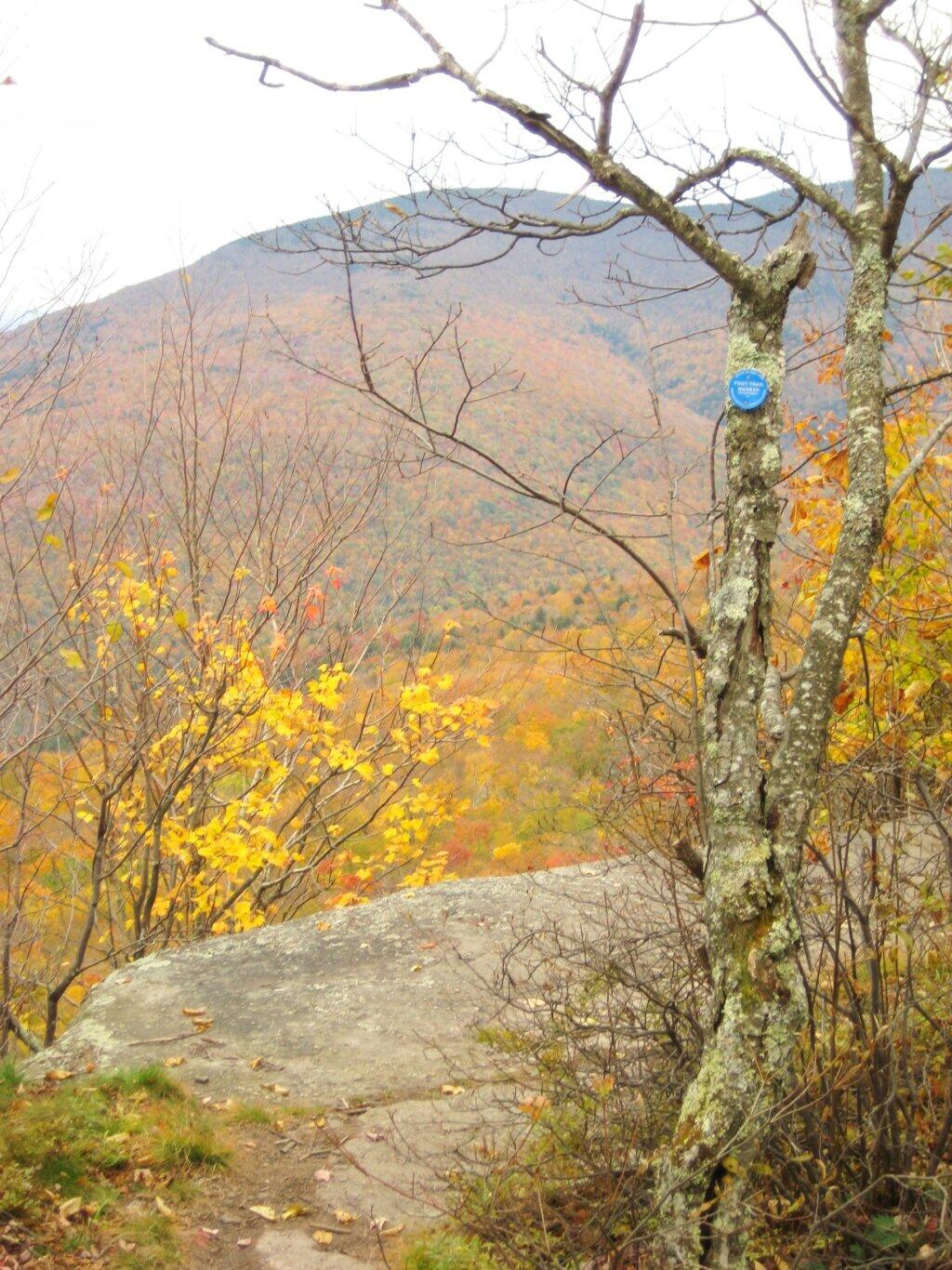
Part of the trail runs right along the edge.
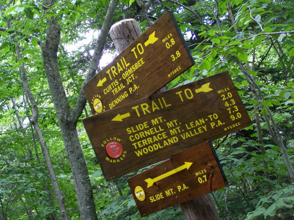
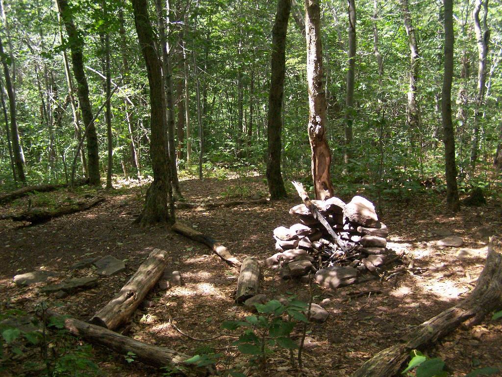
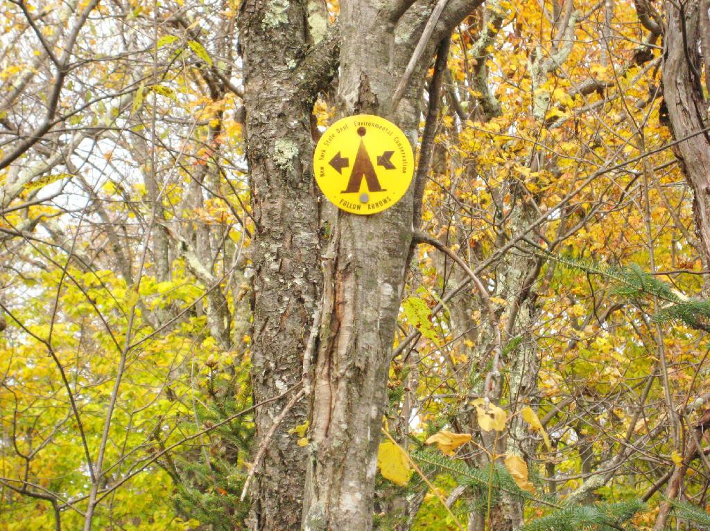
Off the main blue trail on Giant Ledge, there are two campsites at are primative, but nice. This also leads to a trail with views of the Big Indian Valley
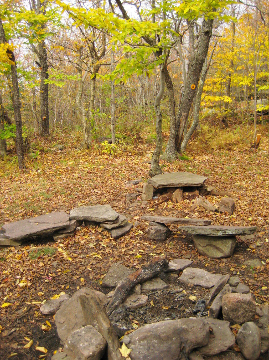
Here is the second of two designated campsites on Giant Ledge. There are no campsites on Panther Mountain, which is too high to allow camping. There also is camping on the lower portion Slide Mountain, minus the wonderful views.
After you hike across the trail to the campsites, there is another short little trail that runs over to a viewpoint with views of Big Indian Mountain, and the Big Indian Valley (where Slide Mountain Road runs).
From here, I hiked up Panther Mountain. Here is a map of the hike.
The same day I visited Giant Ledge, I also hiked up Panther Mountain. Panther Mountain is about 750 feet higher then Giant Ledge, and is one of the high peaks, at an elevation over 3,500.
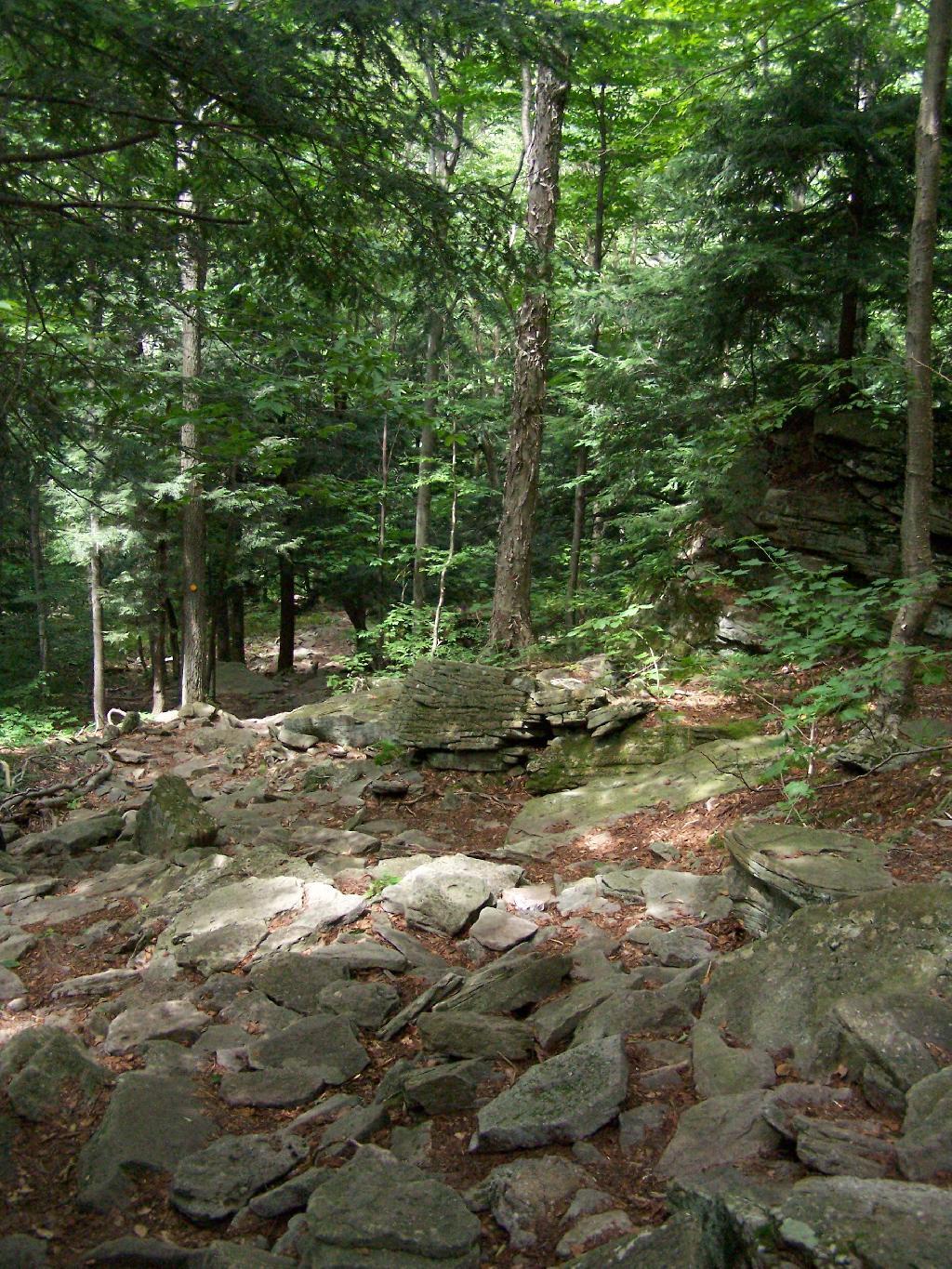
Portions of the trail are made up of rock stairs up the mountain. Other parts you climbed up rocks, but nothing too steep.
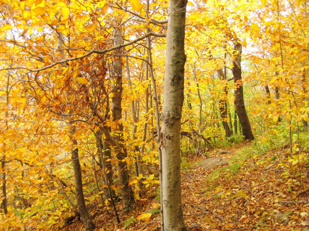
Along the trail in full color.
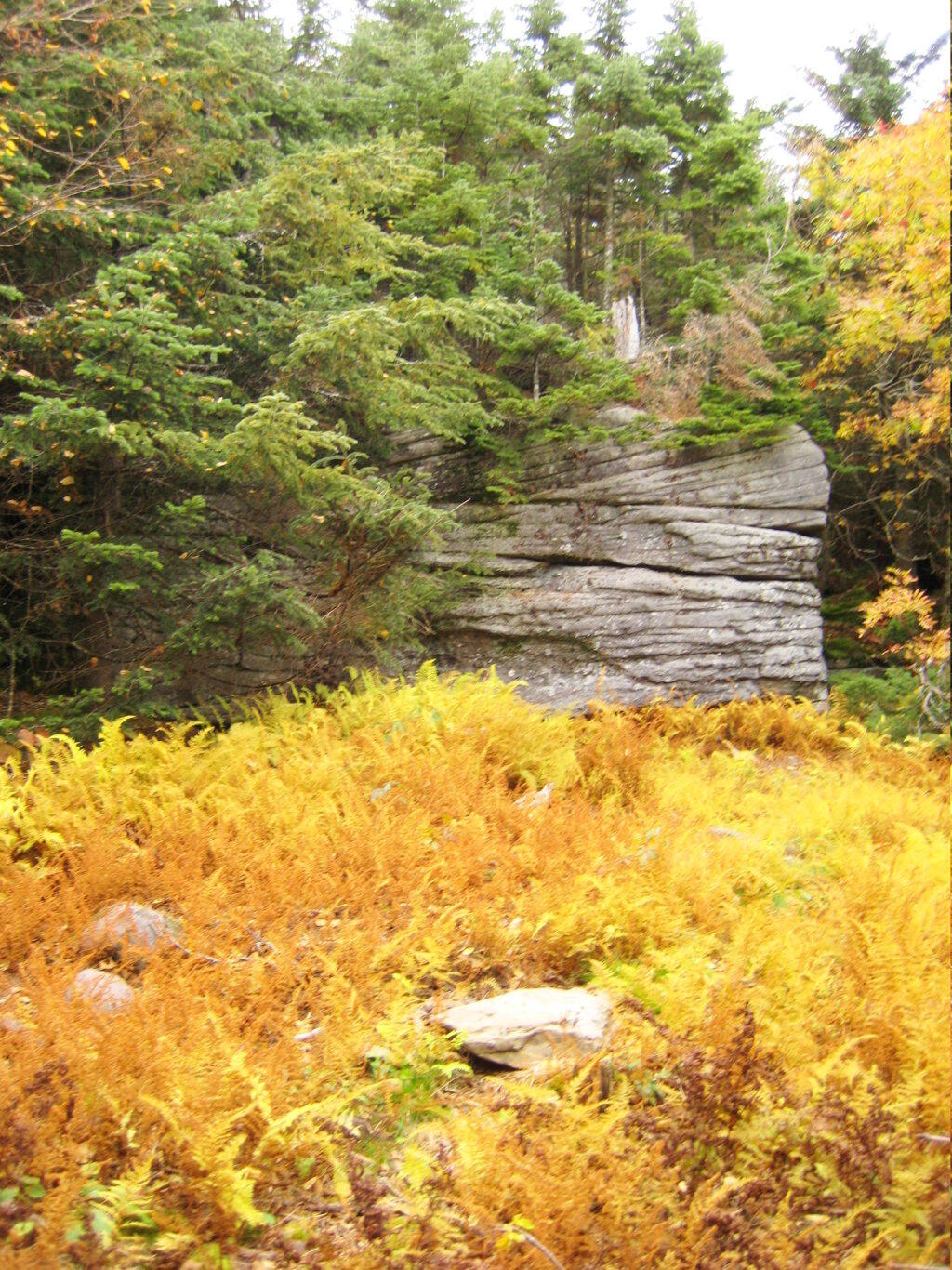
Interesting swamp with the ferns a bright yellow color.
A top the mountain, one of the first views is on top of a boulder.
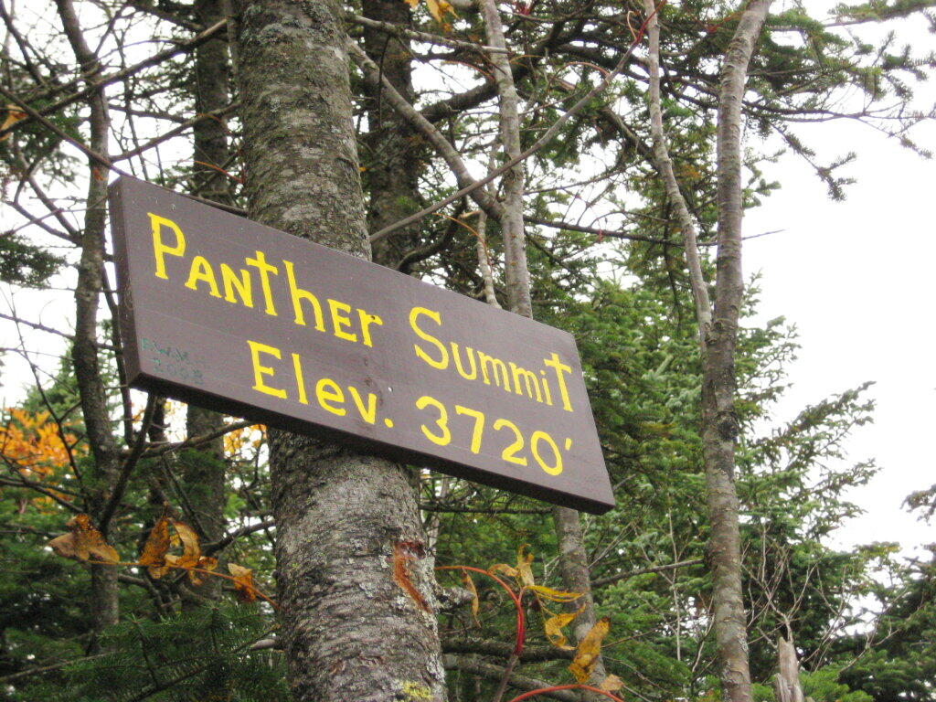
The Panther Summit is at 3,720 feet.
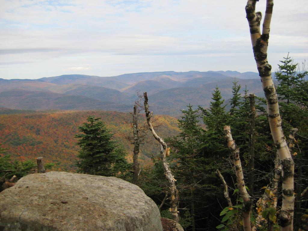
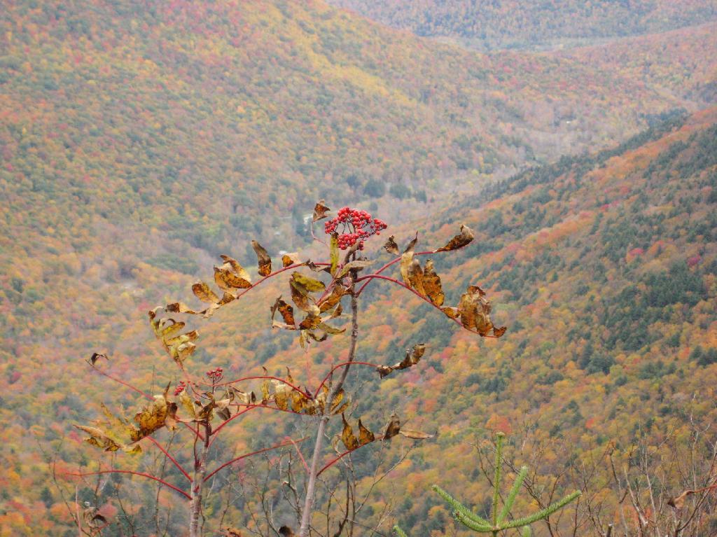
One of the best views off the mountain was how clear Indian Head Mountain looks from off of Panther Mountain.
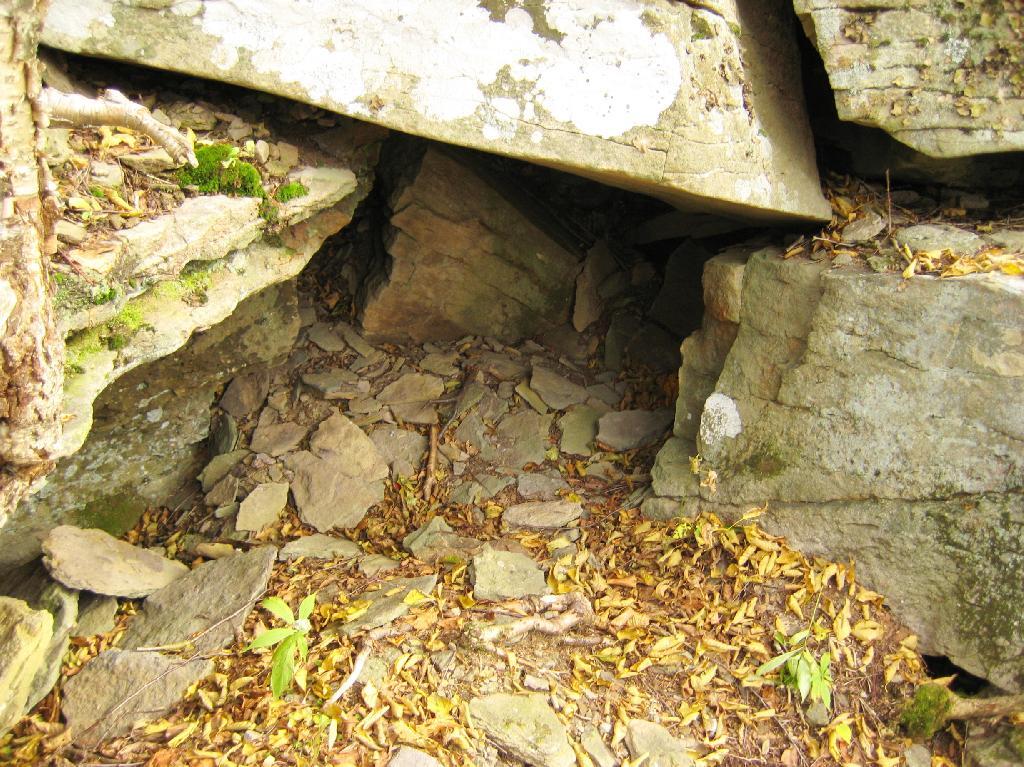
Off the trail, there is this cute little cave.
Looking into the Woodlawn Valley.
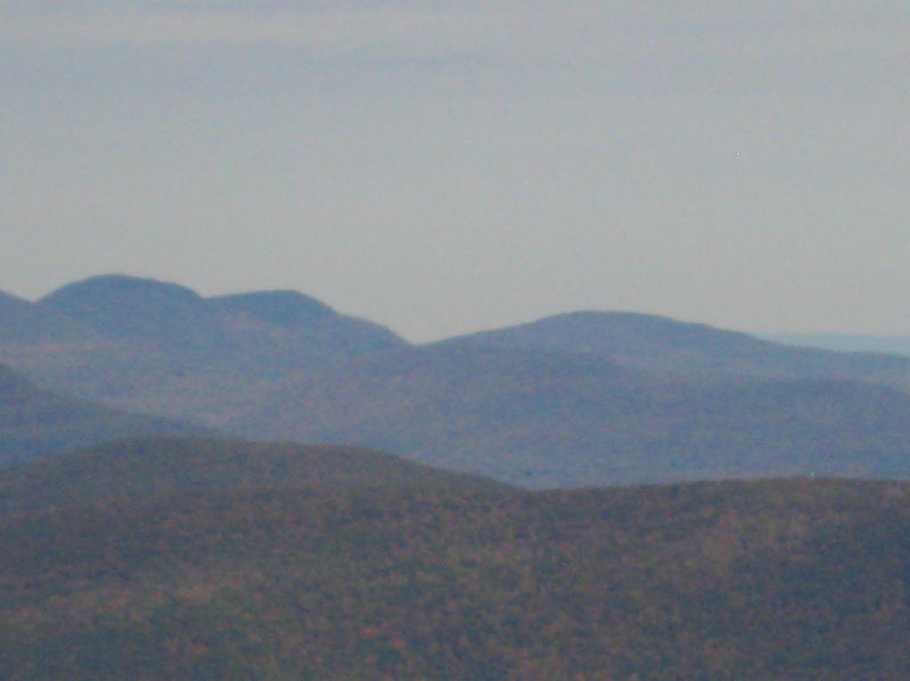
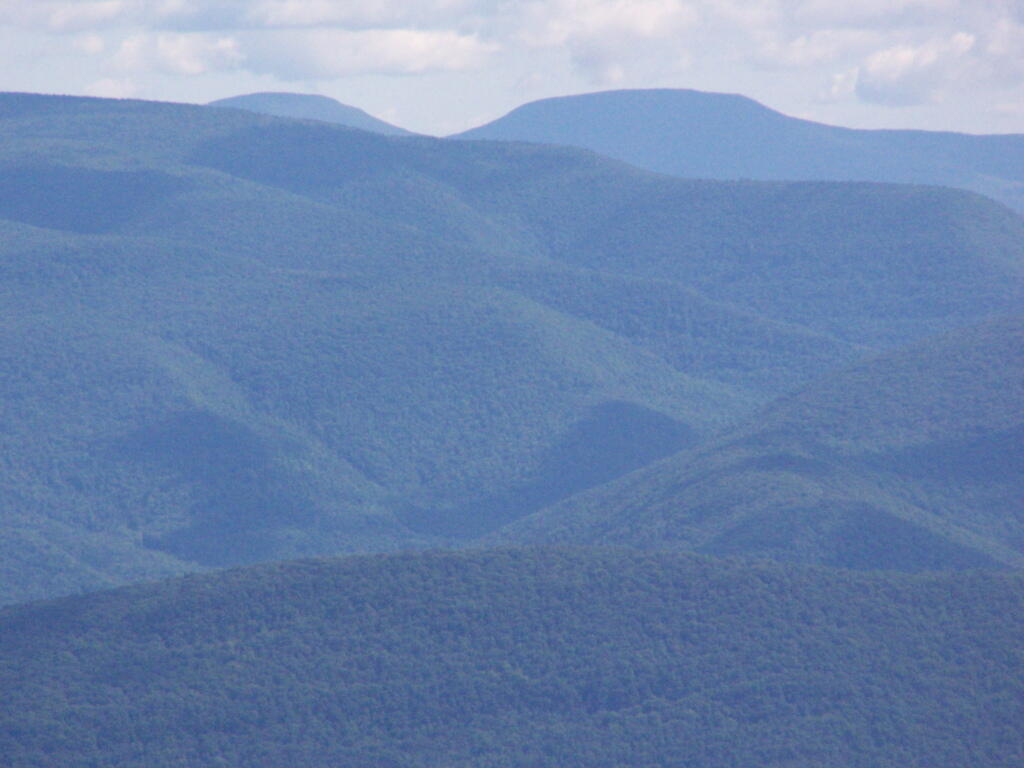
Mountains through the valley, looking off of Panther Mountain.
I decided it was a nice day out, and I wanted to be able to say I had gone up to the tallest peak in the Catskills, at 4,180 feet. According to Wikipedia, it may actually be somewhat taller then that (as much as 4,200 feet), but they’ve never done a bench mark on the top of it.
The first part of the trail is fairly steep.
It climbs up to an old woods road, that is an easy walk and relatively flat, as it goes up to the Curtis-Olsbee Trail. You see the split between the old Jeep trail up Slide Mountain, and the the trail to Curstis-Olsmbee.
The trail crosses a high footbridge, without rails. It once was a full-size bridge for vechicles, but no more.
Reaching a historic marker of Curtis-Olmsbee Trail.
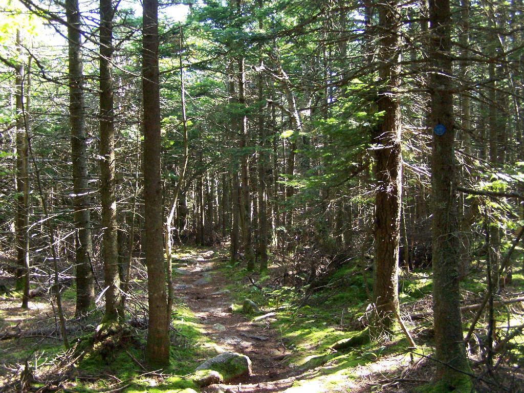
You climb, and then there are some places with views to South and West as you continue along. A few moderately steep places, but overall the trail is not super-steep.
The trail once you reach the first couple of views, remains relatively flat as you wander past several swamps and borreal forests.
When you reach almost the top there is a point where you can see almost 70 named peaks.
Enjoying the mountains.
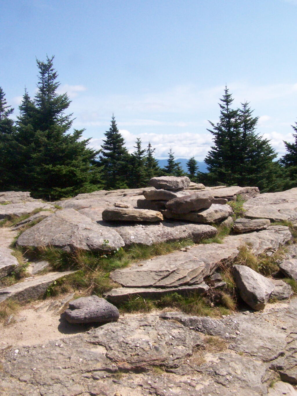
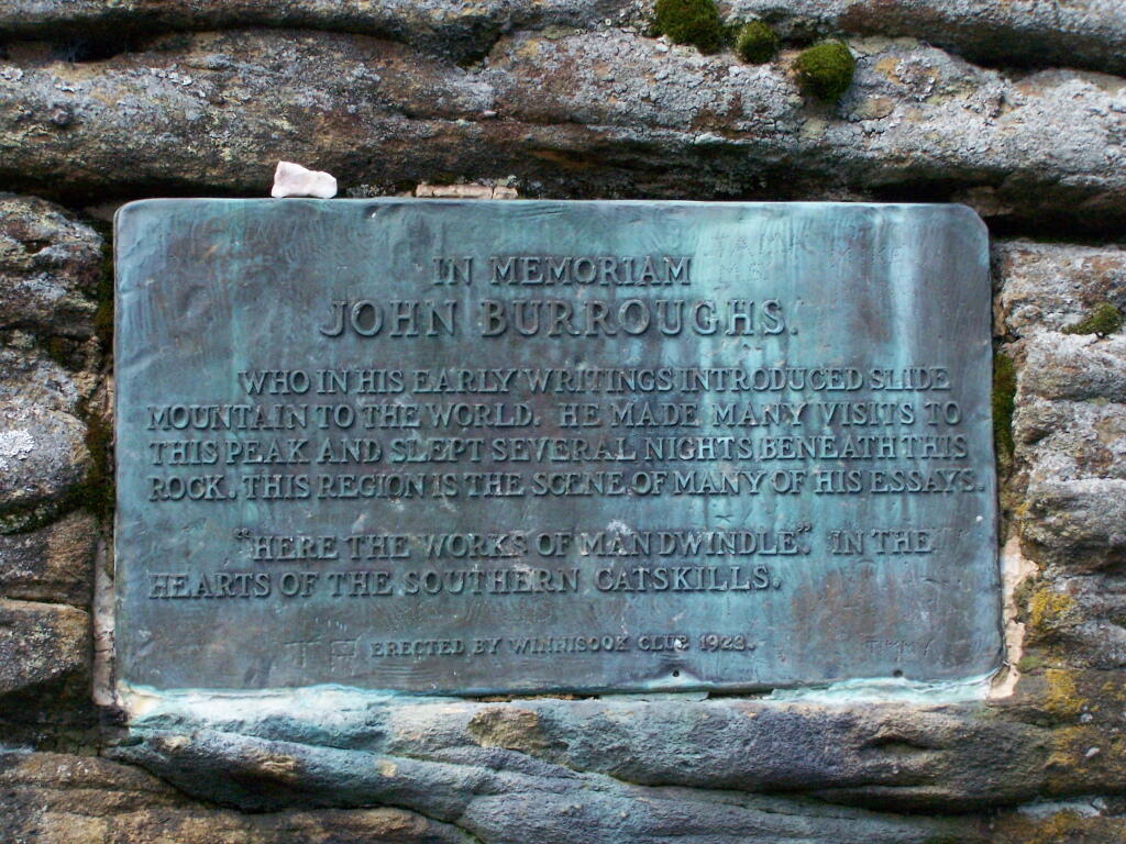
The top of the mountain is John Broughs Point. It has some interesting, partial views to the north and east.
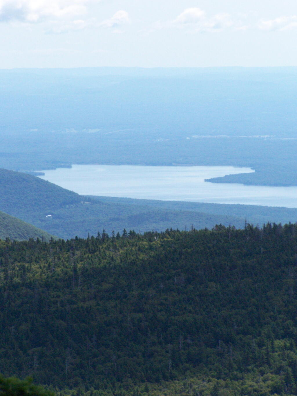
The Ashokan Reservior from Slide Mountain.
An established, primative campsite about 3/4 the way down the mountain or one mile from the Slide Mountain Parking Area.
![Across the Potamac River to West VIrigina [Expires November 12 2023]](https://andyarthur.org//data/photo_003065_large.jpg)