essays

Why I Love Automobiles So Much

As much as I despise air pollution, noise from the cars, wrecked landscapes from where they drive, I really do like cars.

Nothing speaks freedom like the open road. Nothing expresses your personality and who you are like your car. Nothing can bring you such beauty as the automobile or bring you just great experiences.

Frame 69

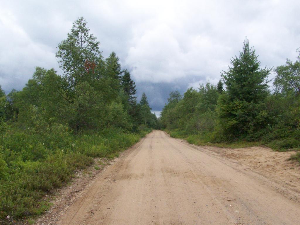
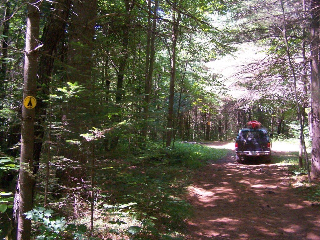
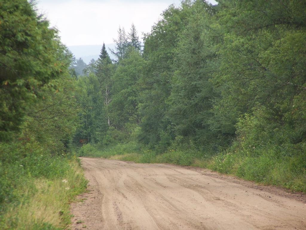
From the dirt road in the Adirondack Forest Preserve to an open rural highway in the Northern Tier, nothing can quite bring you their like an automobile.

My particular passion is pickup trucks. The bigger the better. The better the 4×4 system, the more room in the cab, the more room in the bed, the more lovely.

Yet, I am well aware of the problems of automobiles, and especially their uses of in urban areas. I walked along Washington Avenue Extension, as a pedestrian, and I was a aghast at their noise, pollution, and swarming motions they made.

Frame 77

Automobiles make urban areas ghastly places to be.

There are too many automobiles in the city. Off the beaten track, in Rural America, they truly are wonderful things.

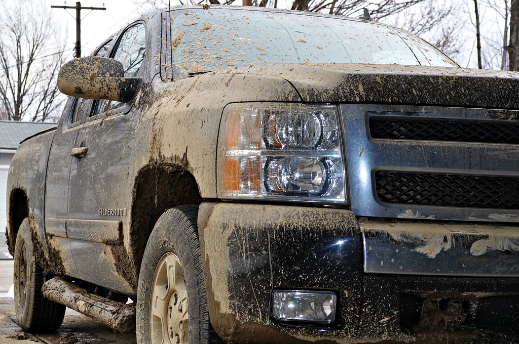
Muddy Chevy Silverado

Automobiles destroy cities, but they are also the best way to get away from the cities.

Road Trip to Dimock PA

Roughly 30 miles south of Binghamton, NY is Dimock, PA. I wanted to visit Dimock for some time, because I wanted to see up close the impacts of natural gas drilling in Pennsylvania. Dimock is particularly infamous for a couple of tragic accidents caused by faulting casing in gas wells causing poisonous hydrocarbons to leak out into the surrounding area. Dimock is also the home of Cabot Oil and Gas, one of the most controversial drilling companies in Pennsylvania due to their awful track record with certain wells.

NY 29 to Montrose.

I’d didn’t stop and take any pictures, but I’m including some images from Google Maps, and you’ll just have to imagine the rest from my words.

Dimock is an easy drive to get to from New York State – just take NY Route 7 south from Binghamton (you can access it from I-81 Exit 1 South of Binghamton), and NY Route 7 becomes PA Route 29 as you cross the state border. PA 29 is a very narrow and slow road, going through many hamlets, and the road is in serious need of repairs – although it was in awful shape the last time I drove it in 2008, prior to the big gas boom. Normal commercial and agricultural traffic has long made this road need of a rebuild and widening heading to the Capitol of Susquehanna County. The additional drilling related traffic hasn’t helped this road, as it ages long beyond, it’s time for widening and replacement.

PA 29 is the main road from Binghamton to Montrose. It has for a long time been congested with traffic heading to and from the capital of Susquehanna County. For most part the traffic is to be expected on a rural arterial – lots of folks in pickup trucks, beat up cars, milk trucks, grain trucks, pickups towing horse and cattle trailers. There are also traffic related to gas drilling, such as fresh water haul trucks used for fracking, and residual waste trucks hauling away condensate from gas well. I saw a pickup truck with a goose-neck trailer with drilling bits on it. For the most part traffic was free flowing.

There are small cattle farms in valley below PA 29, and some of the mountains above the road show quarrying activity for Blue Stone and possibly also coal. Nothing too obvious from the roads, but in one or two places, it’s obvious there is some mountains being mined for their products.

Busy Montrose on Saturday.

Eventually you real reach the borough of Montrose. This small city was very busy, but that’s to be expected of the only city in the region on a Saturday. People go to city to pick up groceries, shop, and fill up at the gas station. Walmart – on the outskirts of the city – was particularly crazy there.

There was a mix of truck traffic from different sources – some agricultural, some oil and gas related, some other for other businesses like grocery stores. Busy, but certainly not grid lock. Montrose is a pretty gritty little city, much like other cites in Twin Tier region, with lot of folks in big jacked up pickup trucks with gun racks. It’s certainly not an urban area by any extent of the imagination. Traffic in Montrose reminded me much of busy nature of Wellsboro PA or Watkins Glen NY.

South of Montrose.

South of Montrose is where the country starts to open up along NY 29. There is some rural houses on large lots on NY 29, but it’s mostly farm country. Traffic is very light south of Montrose. There are many farms on hilltops and across the landscape. Just past Dimock Post Office, and a few houses, there is Cabot Oil and Gas offices. Cabot Oil and Gas’ Dimock Headquarters is a one-story ranch-style building, that appears to be formally a rural doctors office or other small business office. It’s not a new building. The parking lot has been expanded with gravel – it’s obvious that once the gas wells are completed in this area, Cabot probably will be closing out this regional office.

This is where you first start to see first gas wells, one right beyond the Cabot Oil and Gas Office, and one on a farm field to the left of the road. This gas well is completed, although there are two condensate tanks on the roughly 4-acres pad. The pad is large, when viewed up close from the road, but there are no equipment on the pad except for the tanks. There is no reason why they could not remove the pad now, except for the access road to condensate tanks for occasional pumping. Farming activity is going up and around the well pad, with alfalfa currently planted around the pad, for the dairy farm on which it is located. Well pads are located on farms that are roughly 250 acres in size on steeply rolling country, so their impact both on farms and landscape is minimal. Spacing requirements limit well pads to one per 160 acres – but realistically terrain and gas fields expand things out further then that.

For the next three miles, as you go up and down several hills, there is no well pads thats can be seen, until one pops up in the distance on right. This well doesn’t produce any condensate or was abandoned, so there are no tanks or equipment above around. From there, it’s kind of hilly, with a lot of forested brush lands, in areas not economical to farm, mostly used for residents in fall to harvest wood for heating, and hunting in fall.

Lemon to Nicholson.

When I got down to an unmarked hamlet known as Lemon, I took a left onto State Route 1006, and started winding around farm country. Climbing out of valley, up towards Seely Hill, there where many well manicured farms, that obviously where well capitalized, professionally run operations without a lot of junk in their yards. None of farms where particularly large, as this area lacks the soils to sustain CAFO-sized farms, but with beautiful old farm houses painted white, and barns painted red. Cows where grazing around, corns, alfalfa, hay, and soybeans where planted following the landscape. Atop some of the hills, you could see for miles.

Not everything was picture perfect. It was a working landscape, and some farms where more messy then other. Passed a junkyard, and some trailers and houses. Almost everybody had burn barrels or pits for trash. Many had targets and stuffed deer statues in their backyards used for plinking. There where some abandoned houses, and grown up fields. It was very much a rural landscape – a bit a beautiful, wild and free landscape. There was rural poverty. It is a scene not unfamiliar to a New Yorker, something not far from one’s imagination, although due to the more southernly latitude allows farming on many hilltops unlike NY State.

You would climb one steep hill, and descend another, and you might see an gas well. After a while of winding on some back road, I saw a gas well under construction. Drilling rigs are big and tall, and there is a lot of trucks holding water, flowback water, chemicals, and drilling bits. I noticed quite a bit of particulate laden steam / smoke from one of compressor rigs – a potential problem – although it seems government regulation to reduce pollution from oil and gas industry will further clean the air. Such minor and localized pollution wasn’t everywhere.

Many places didn’t have any gas drilling activity underway. The further south or west you got from Dimock, and further you got from the gas field around Dimock, and the fewer wells you would see, until you see no more wells dotting the landscape. After a while, there was no more drilling activity going on.

Eventually I ended up in Nicholson, and took US 11 back to New York. The archways of the Lackawanna Railroad Viaduct are quite remarkable as the soar high above this town. US 11 is a delightful road, following a narrow valley along the deep valley of the Martin Creek, until one eventually reaches Great Bend on Susquehanna River and I-81 back to NY State.

Conclusions I Draw from My Trip.

Dimock is one small hamlet across Pennsylvania. It is a pocket of some of the most intense natural gas drilling in Pennsylvania. Gas drilling is not without impacts, but it is not the industrialization or utter destruction of rural life. Farms continue after gas drilling, and modest rural housing continues to exist. Small towns continue to be small towns, even if there is a benefit of greater employment and higher standard of living in these small towns.

Dimock is still primarily about farming and rural life – it is not suburban – but enjoys the boost that gas drilling gives to the town. Gas drilling does not urbanize rural areas or turn them into industrial wastelands, but instead provides

… do take this trip on your own. It’s not that long of a drive from Albany, and it’s a very interesting and beautiful drive for sure.
What A Good Roadside Campsite Should Have

1) Roughly a quarter mile separation between each campsite to enhance privacy, allow people to make noise or listen to music into the night, without disturbing other parties.

Moose Plains Road in Plains

2) A flat place to park and set up camp, far enough off the road to provide some privacy buffer and ensure safety – i.e. not having people putting up tents right next to the truck trail where cars could be passing at any moment.
Along the Kinderhook Creek

3) Provides wild forest experience, with tall and old growth or nearly old growth trees around the site.

Camping Back at Fox Lair

4) Not aggressive regulation of campsites, minimal patrolling by government bureaucrats.

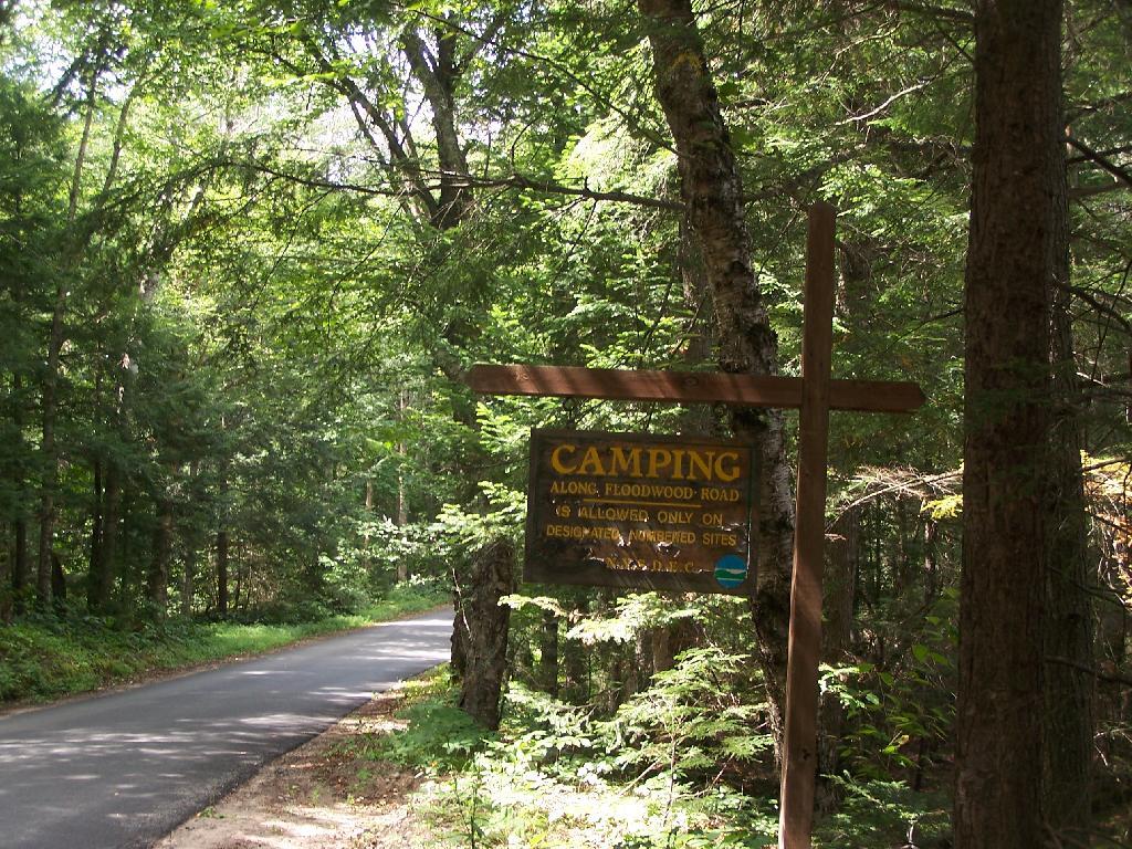
Camping Only At Designated Sites

5) Provides a relatively flat and open place to camp with some gravel or elevation so it’s not too muddy even after use.

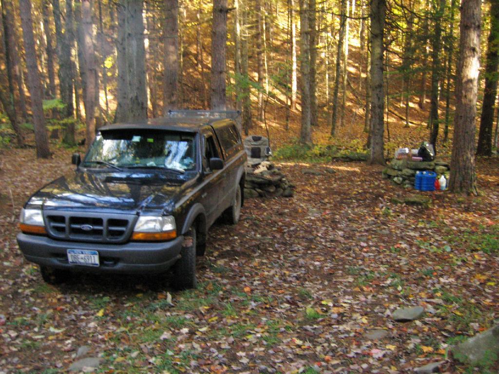
Campsite

6) A clean site without a lot of litter – people should be encouraged to burn their burnable garbage, and make sure to pack out anything that can’t be burned. Fireplaces and firepits are much more desirable then stone rings.

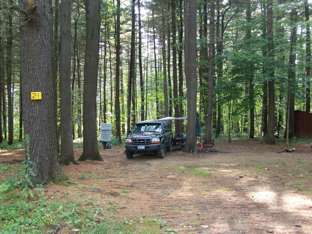
Campsite 21

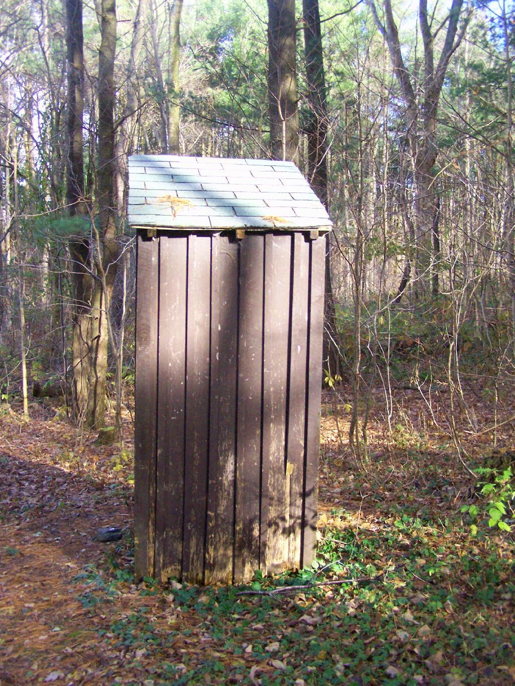
7) Outhouses help enhance sanitary conditions at campsites, especially well used ones. Too often campsites have litter in the form of toilet paper, and to a lesser extent human waste, from it getting dug up by animals.

Outhouse

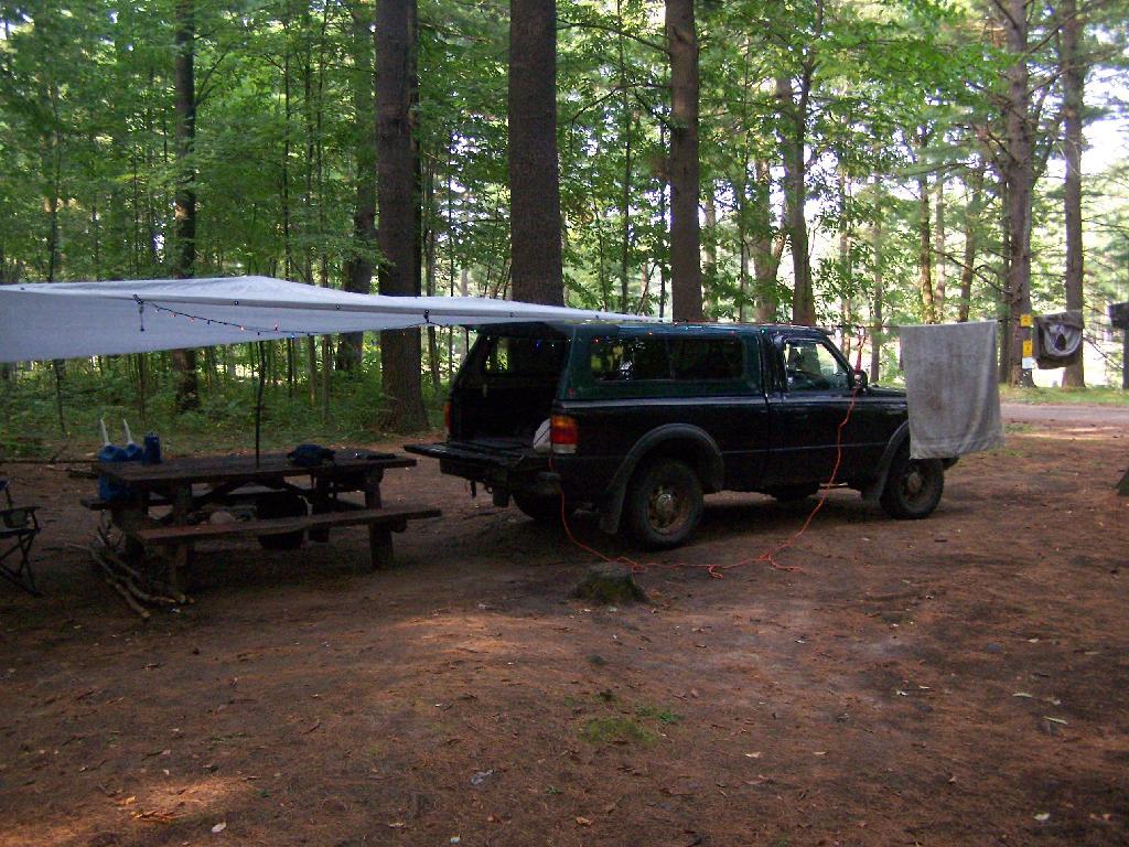
8) Picnic tables are nice to have but not essential. Bring your own table!

Clothes Line

Camping on Hope Falls and Pumpkin Hollow Roads

There are several campsites a on side roads, little ways off of NY 30, as you head North from Northville towards Wells NY. These campsites are nice if you starting off into the Adirondacks, and are looking for a convenient place to camp for the night, and want campsites quieter then those on NY 8 / East Sacanadaga River.

These sites are all designated with official “Camp Here” discs.

Road Number of Sites
Hope Falls Road 3 Vehicle
3 Tent Sites
Pumpkin Hollow Road 2 Vehicle (Between Willis Lake and Inholding)
1 Vehicle (Beyond Inholding)

Hope Falls Road.

From Northville on Hope Falls Road, you drive north and north. The paved road goes on for several miles, until you finally reach the “Seasonal Use Only” sign, and hte pavement ends it becomes a one lane road.

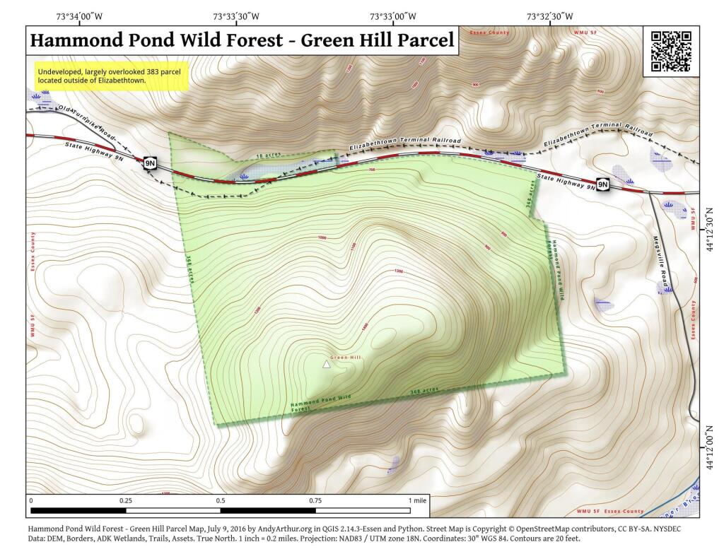
 Hammond Pond Wild Forest - Green Hill Parcel

Click the map above to print it.

None of these campsites are particularly fancy, although there is a single outhouse for the first grouping of campsites on the southern port of the road.

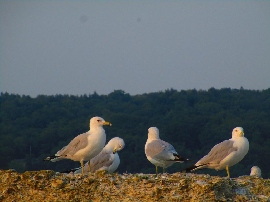
Gulls on the breakwater

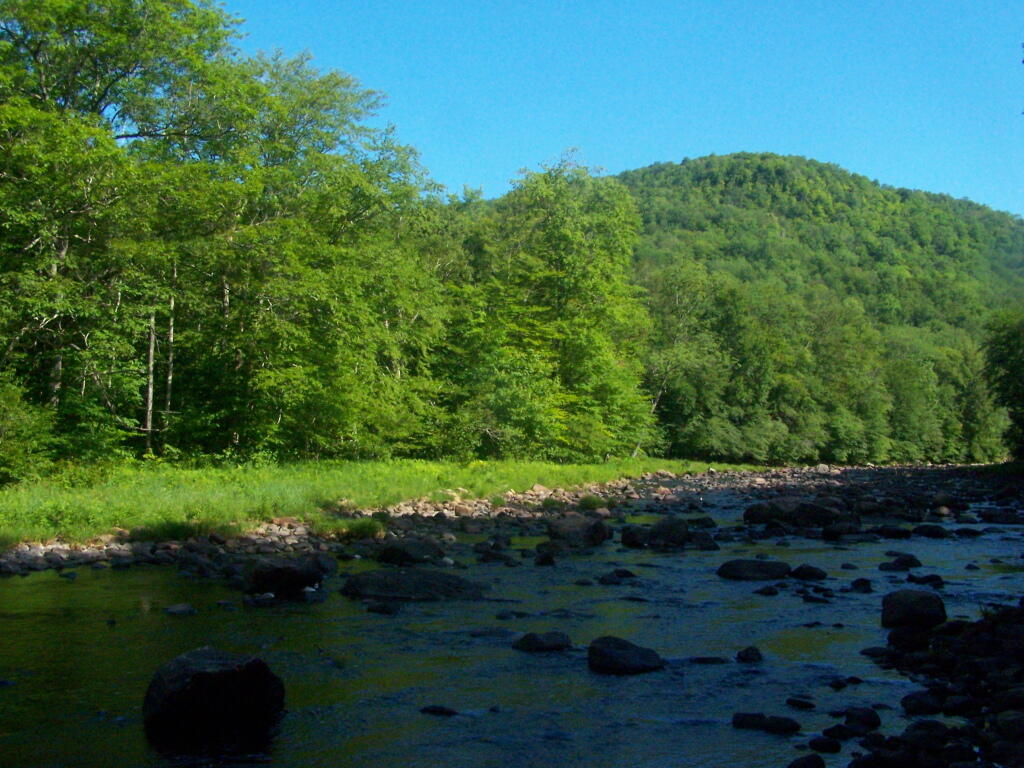
All of the campsites run along Stoney Creek …

Stoney Creek

Pumpkin Hollow.

The campsites are a ways back on Pumpkin Hollow Road, a dirt road, beyond Willis Lake and the camps along it. Pumpkin hollow is a short ways south of the Sacanadaga River DEC Campground, it starts out as a paved road by a white house, then eventually a mile or two back becomes unpaved and one lane.

Blue skies

You can print the above map by clicking on it and printing it.

Willis Lake

Here’s sample designated campsite on Pumpkin Hollow Road.

Designated Campsite

And Pumpkin Hollow Road…

Pumpkin Hollow Road

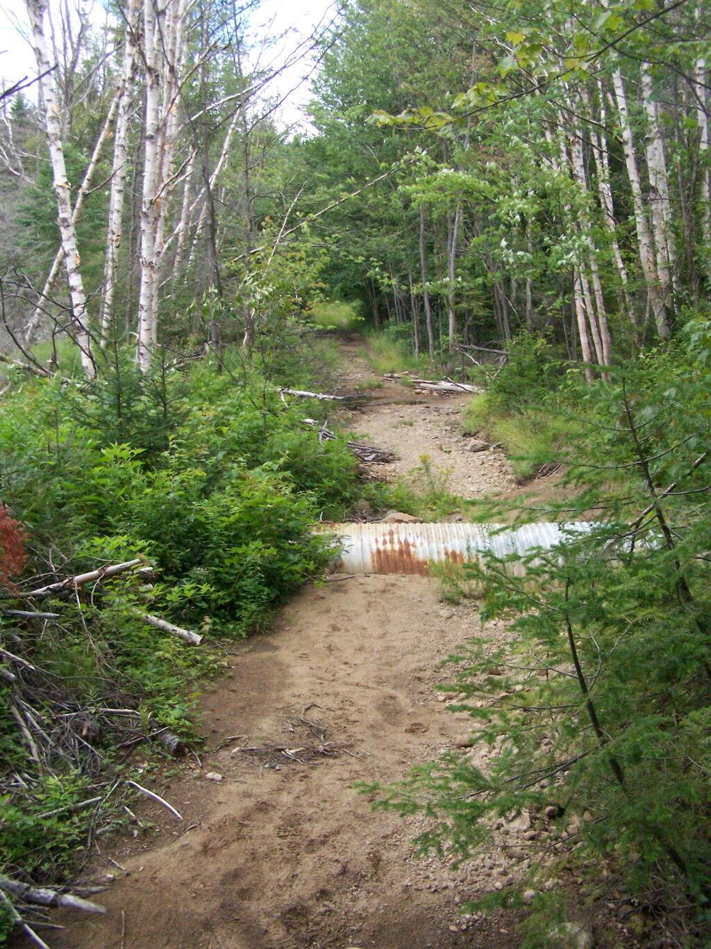
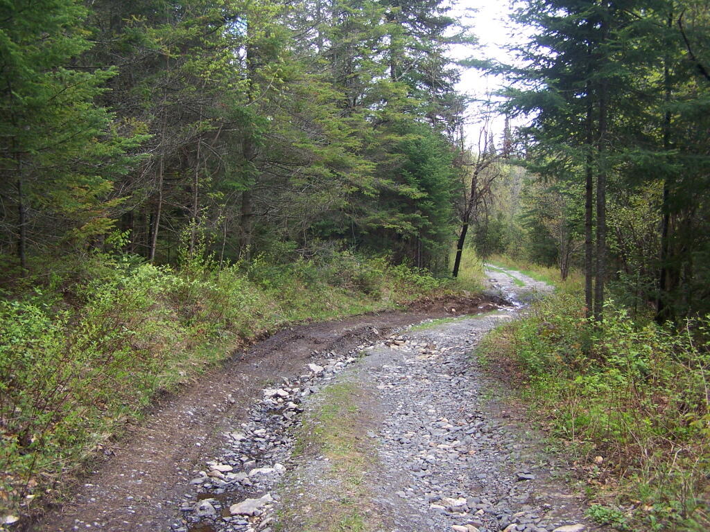
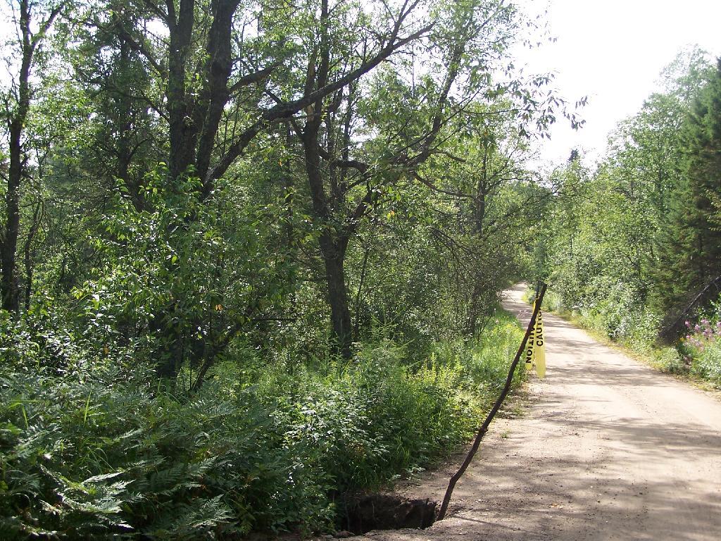
Climate Change, DEC, and Cedar River Road

Like thousands of New Yorkers this past year I have been seriously bummed out on how Cedar River-Limekiln Lake Road from Wakely Dam to Lost Ponds was washed out for the first three months of summer season. It probably was the first time Cedar River-Limekiln Lake Road was closed off for such a long period in summer time — due to springtime flooding and severe erosion and bridge scour — combined with a very tight budget for the Environmental Conservation Department.

Washed Out Road to Wakely Mountain

It seems the list of damaged or still closed roads throughout the Adirondack Park is long this year. Haskell Road is closed. Lester Flow Road and Woodhull Lake Road are rough and badly eroded. Maybe it’s just a bad year, and DEC Division of Lands and Forests is unfunded, and they lack the staff and fuel budget to fix things promptly. Or maybe it’s a more ominous sign — that DEC needs to rethink it’s road construction practices to reflect a changing climate, with heavier rains and more erosion.

Washed Out Section of Cheney Pond Road

As the average temperatures increase in the summer, there is going to be more demand then ever before for recreational access to the Adirondack Park. Yet, the danger is not from increased vehicle traffic, but instead erosion and bridge scour from flooding and increased heavy rains. Simply said, it may come to the point where Adirondack Park back country roads need to be built to a higher standard, with more reinforcement from wash outs.

Wash Out Along Otter Brook Road

That does not mean the end to the dirt or gravel truck trail. It does mean, around streams there is going to have to be more riprap and other course rubble rock to prevent erosion and bridge scour. Courser gravel is going to have to be used on steeper slopes, or maybe a mixture of tar and gravel to keep things in place. While blacktop may seem like the anti-thesis to the back country, it might be necessary in limited stretches to keep things in place, on road surfaces most pounded by the forces of erosion.

Sandy Plains

All of this will escalate the cost of maintenance of back country roads. Yet, the cost of improving back country roads before future cases of erosion, will ultimately save money and improve the public’s experience. Repairing roads to a higher engineering standard makes a lot of sense as the Adirondacks experience increased flooding and erosion from climate change.

New York State Boat Launch Sites

Looking for a place to put in a kayak, motor boat, or maybe something even bigger in NY State? The DEC has a Google Map for you!

You can zoom into particular rivers to see what boat launches are on them. Clicking on icons, displays the number of parking spots, the type of boats that can be launched on the river, and other details.

You can also download this file for Google Earth or import it into your GIS program.

Towards Outlet of Stockport Creek

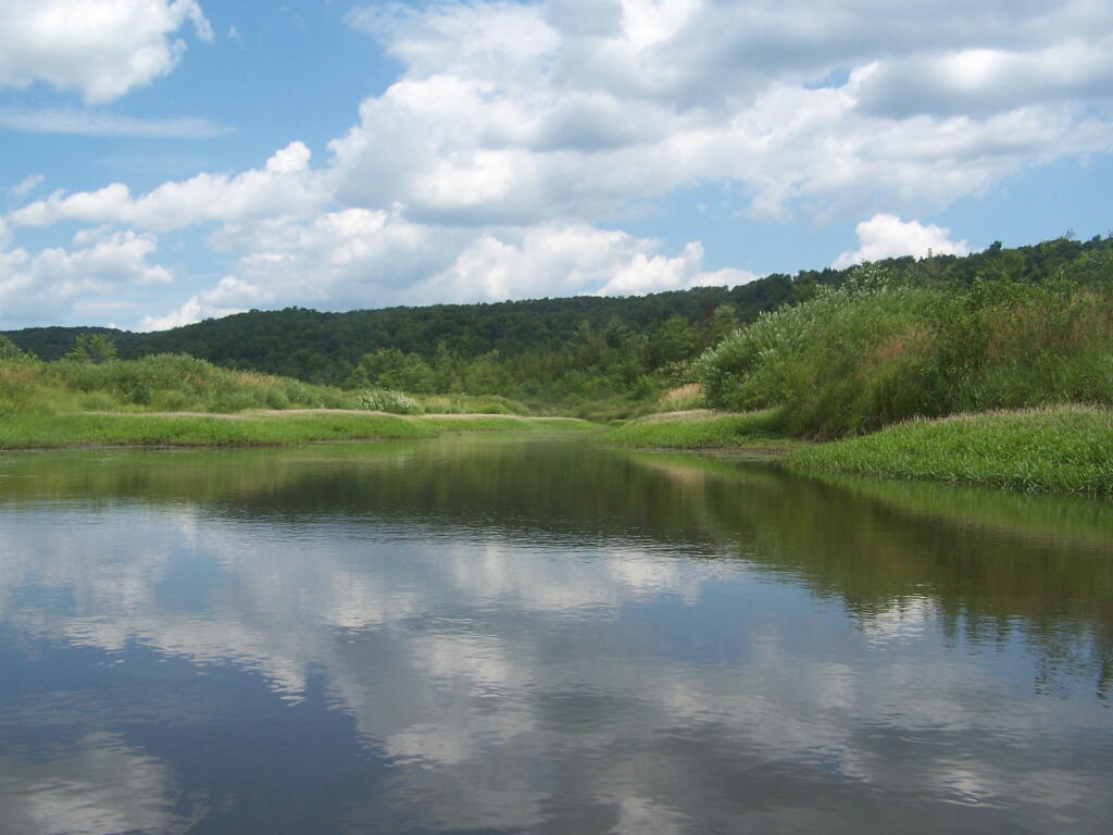
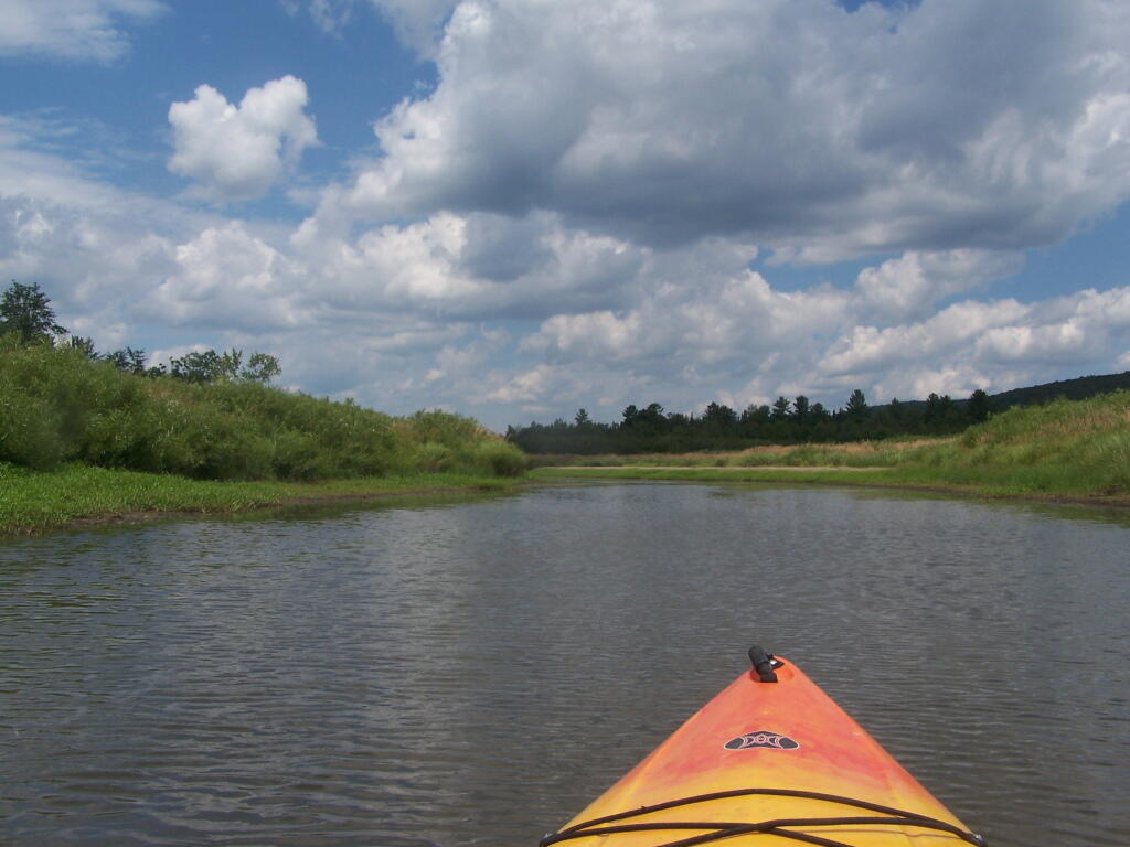
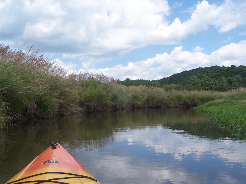
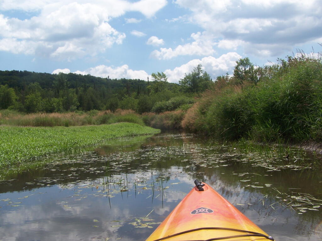
Kayaking Beaver Creek, August 2011

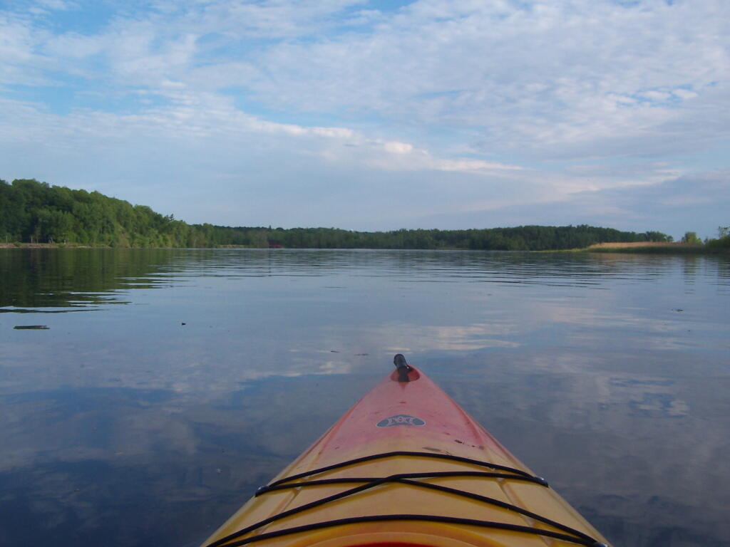
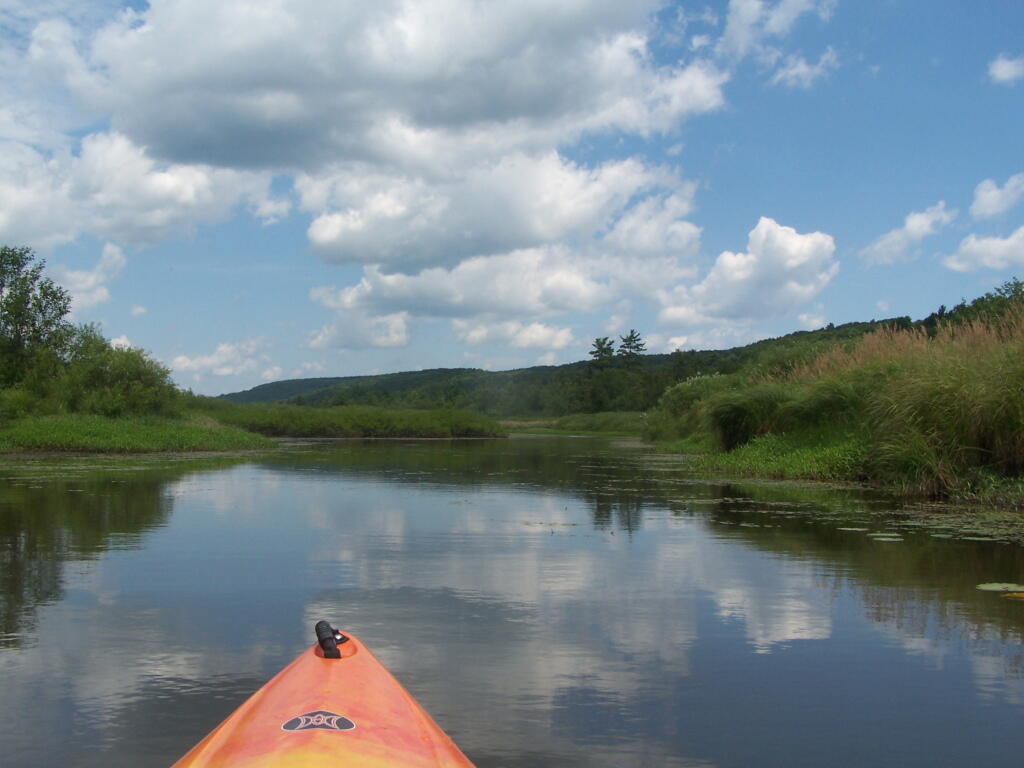
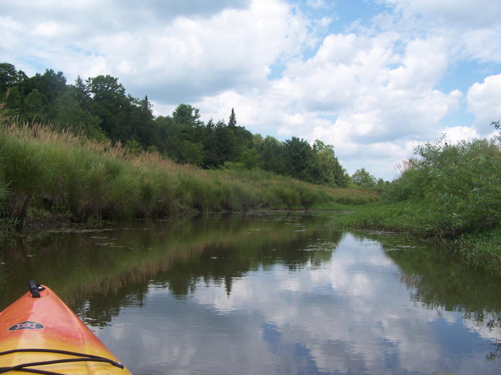
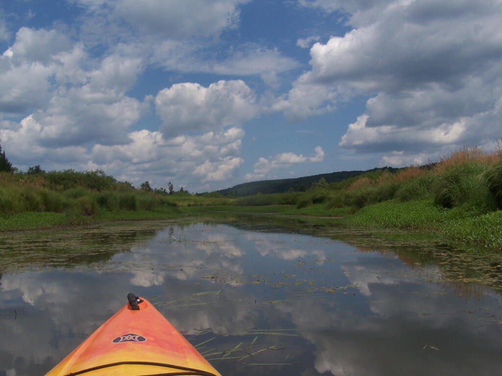
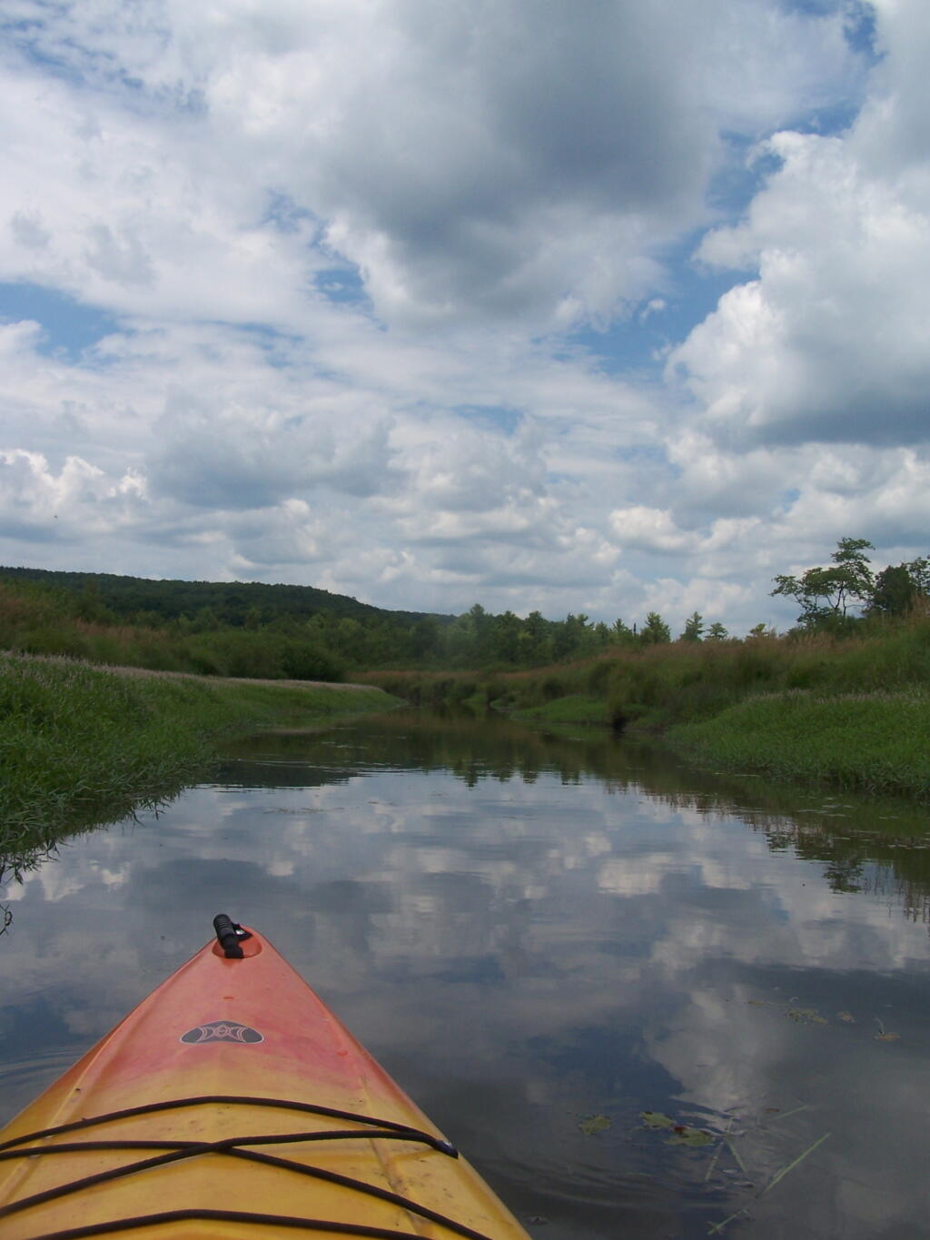
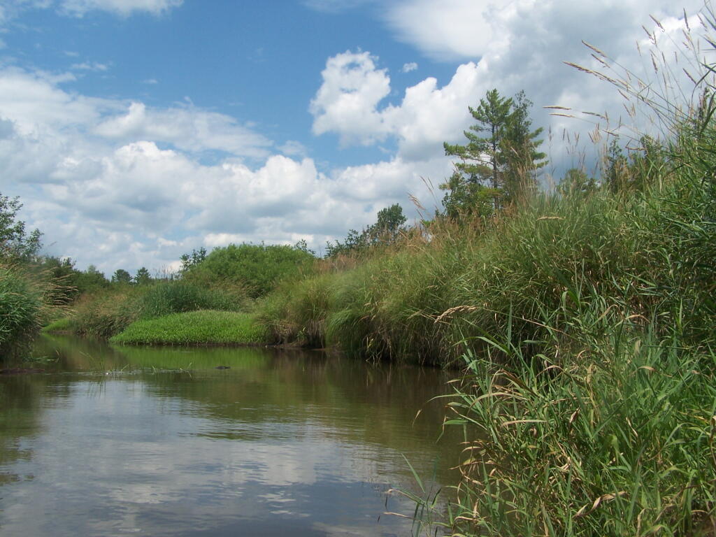
Where is a quiet place to kayak near Cedar Ridge and the Brookfield Horse Camp? Have you ever thought about kayaking the Beaver Creek, from Horse Trail 60 north until the end of the navigable waters?

 Cedar River-Limekiln Lake Road

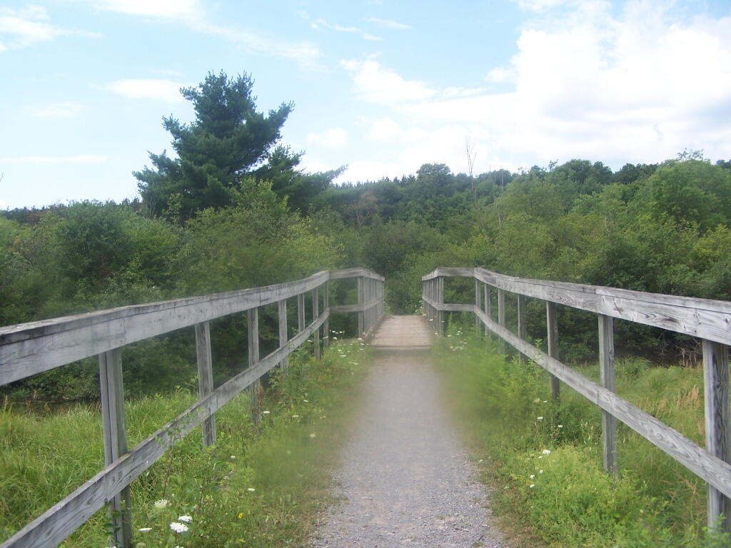
You take Fairgrounds Road north from Brookfield NY, until a first parking area on the left of the road. This is Horse Trail 60. It’s a short portage (1/8 mile) until you reach the bridge crossing the Beaver Creek.

Horse Trail 60 Bridge

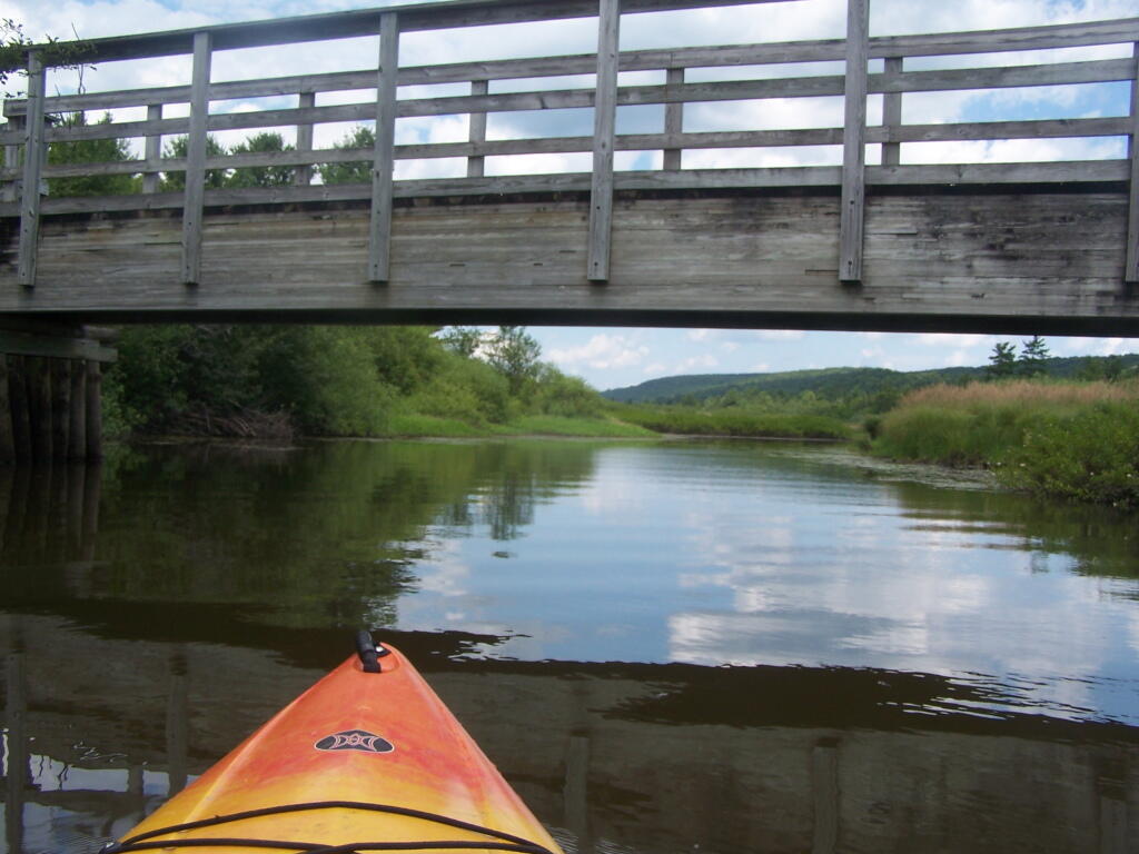
Put in the on the side of this bridge. I did from the east side, through the marshy ground, but you could portage over the horse bridge, then put on the west side, and avoid the marshy ground.

Heading Under Horse Trail 60 Bridge

Beaver Creek State Forest Sign

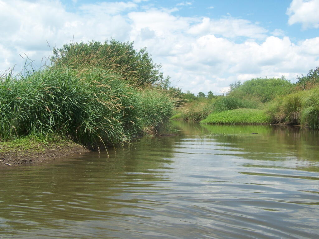
The Very Flat Water Beaver Creek

Wider But Shallow Section of Beaver Creek

Hudson River looks nice and brown

More Open Section of Beaver Creek

Heading Back

Timothy Grasses Along Shore

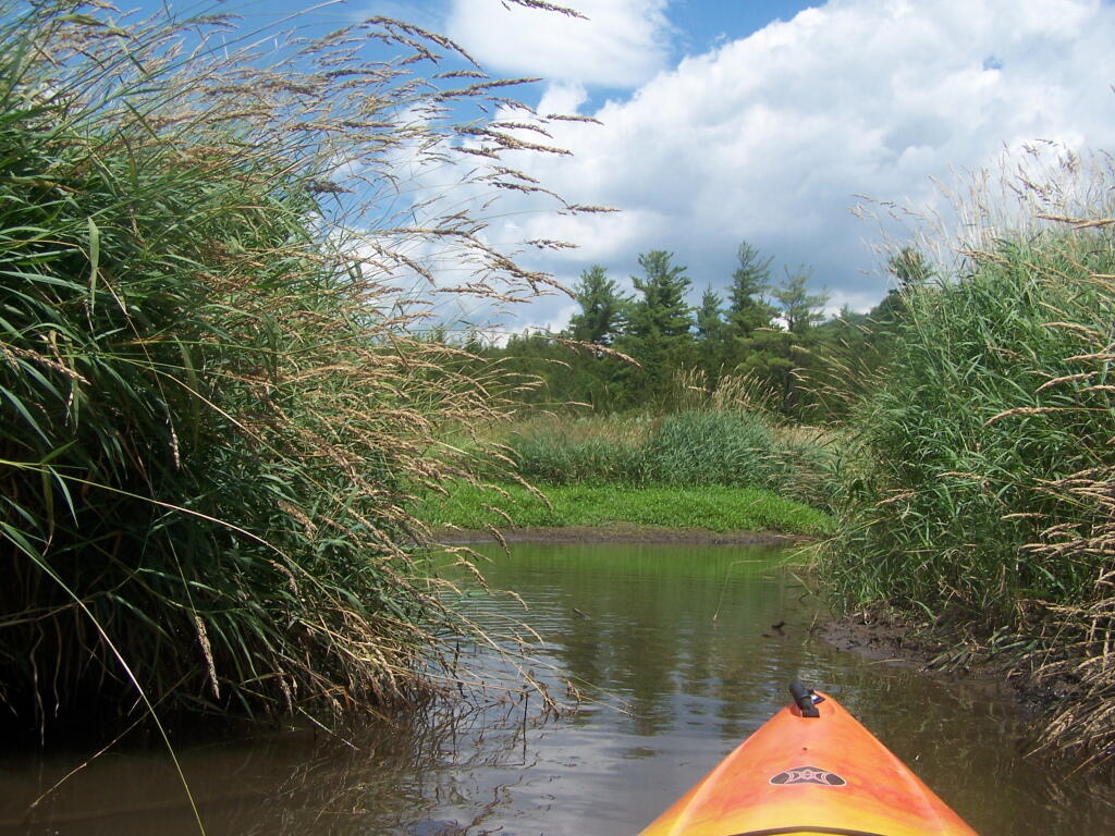
Another Narrow Section

Trees Along River Bank

Wind Generated Current

Claustrophobic?

Flowers

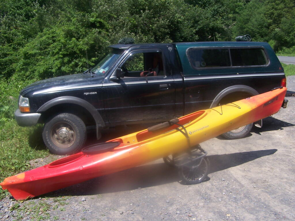
Having a good set of wheels means you won’t have to carry your kayak, but make sure not to drag it on the gravel to avoid wearing holes in your kayak, as I learned earlier this summer.

Kayak on Wheels

This is a delightful little trip. Do drive the Charles Baker Auto tour, or hike some of the many trails in the area…

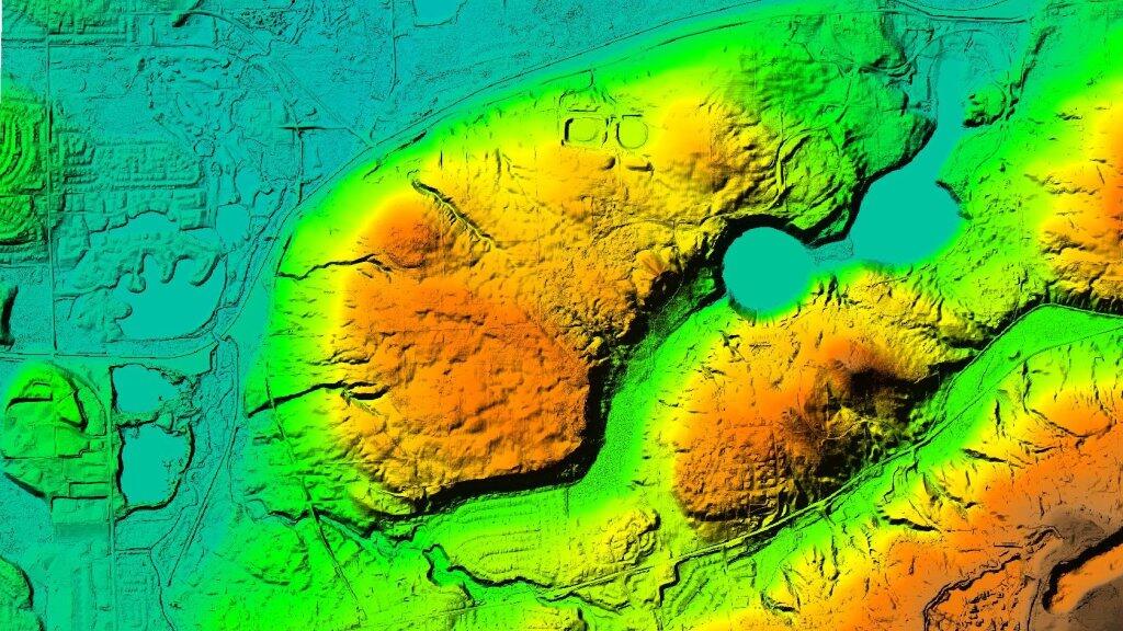
 Green Lakes Elevation Psuedo Color

Pavilion