essays

Kayaking Long Pond

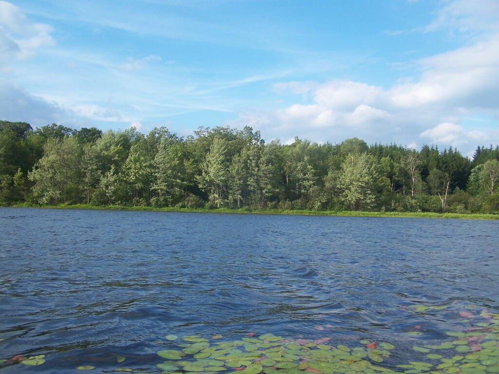
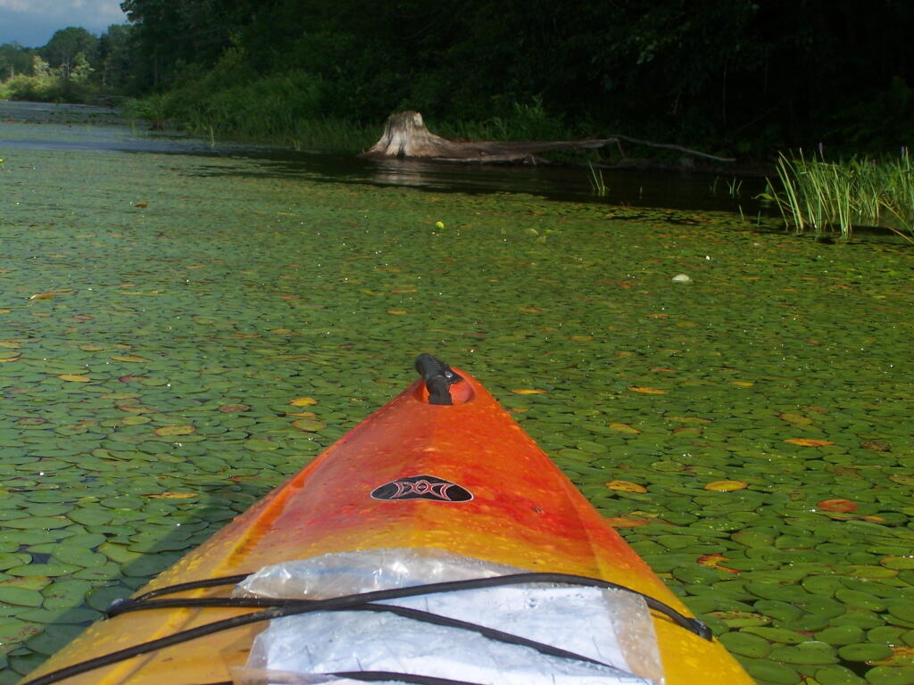
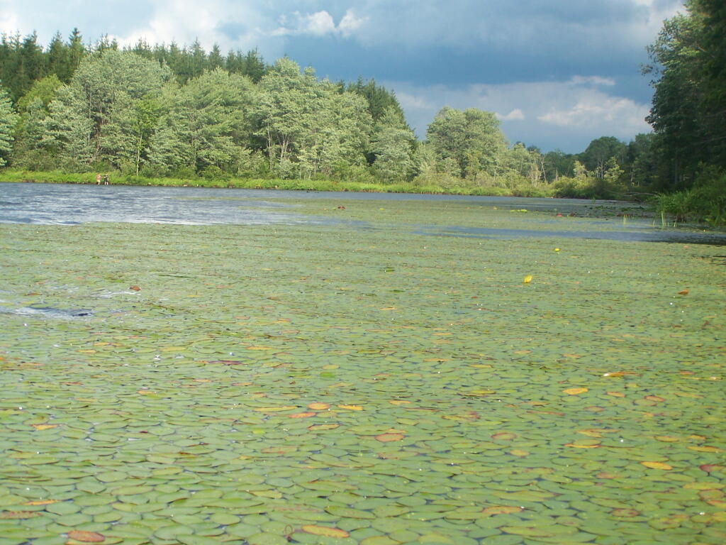
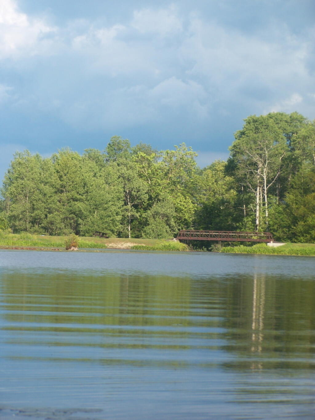
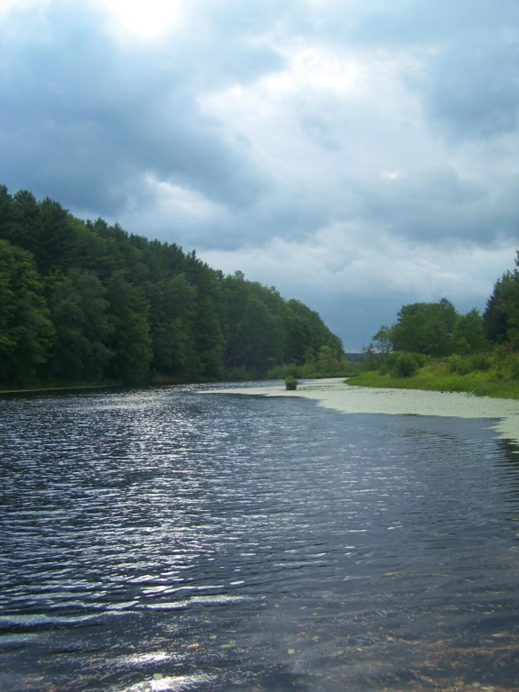
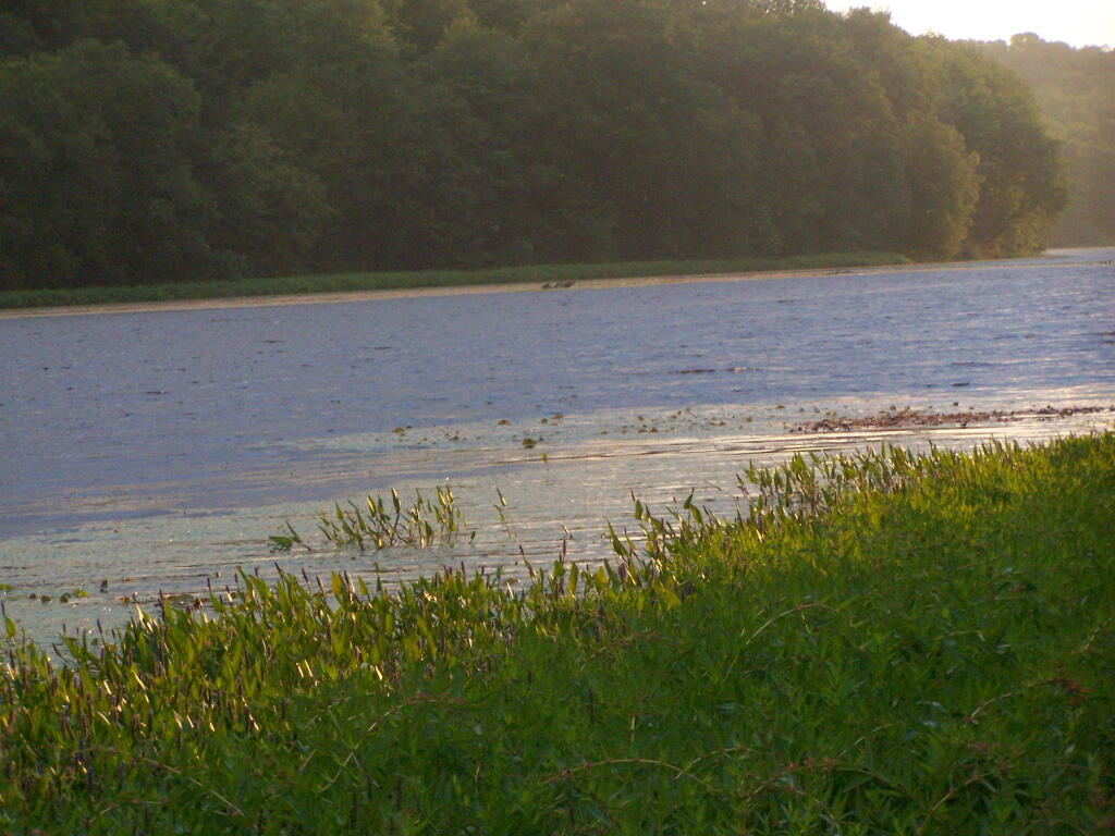
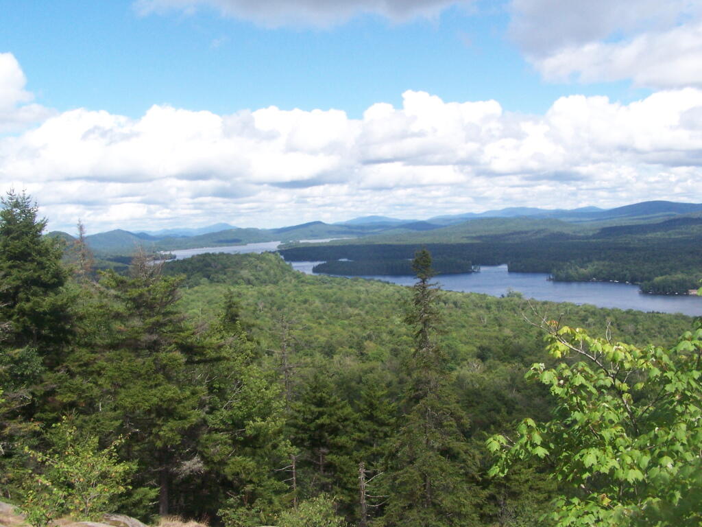
Long Pond offers 8 designated roadside campsites, and a handful of other informal campsites on the other side of the lake. A large man-made lake in an agricultural landscape of Chenango County, it offers some excellent fishing and nice views, especially for Chenango County.

Reed Hill

This map below shows where each picture was taken roughly in the area.

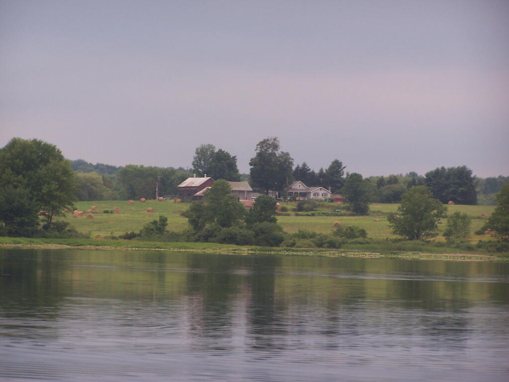
Farm on North-West Side

Flower on Lake

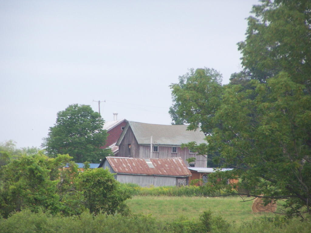
Barn Along NY 41

Rain Drops

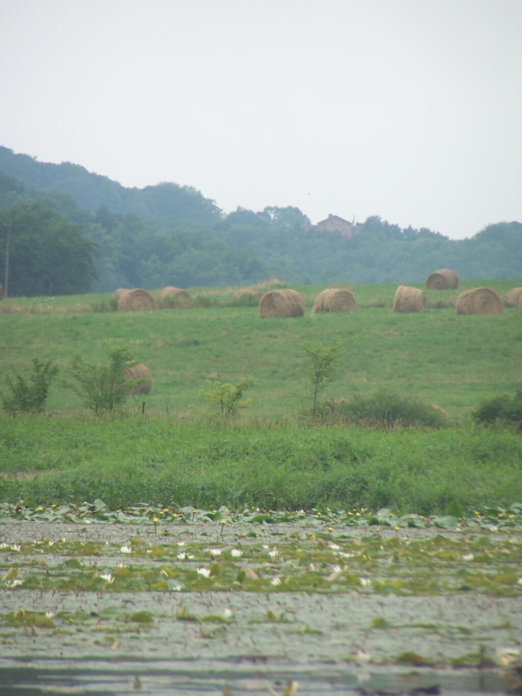
Bailed Hay Along Pond

Flowers

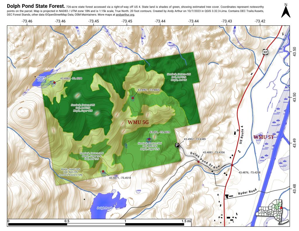
Dolph Pond State Forest

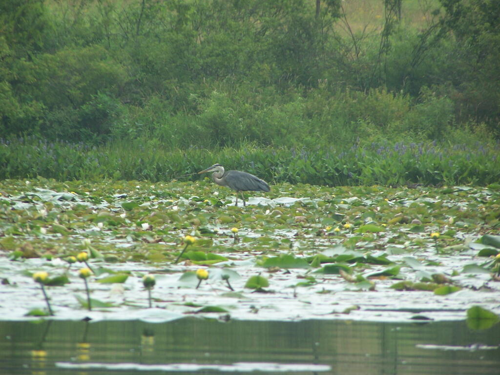
Great Blue Heron

Finally Starting to Clear!

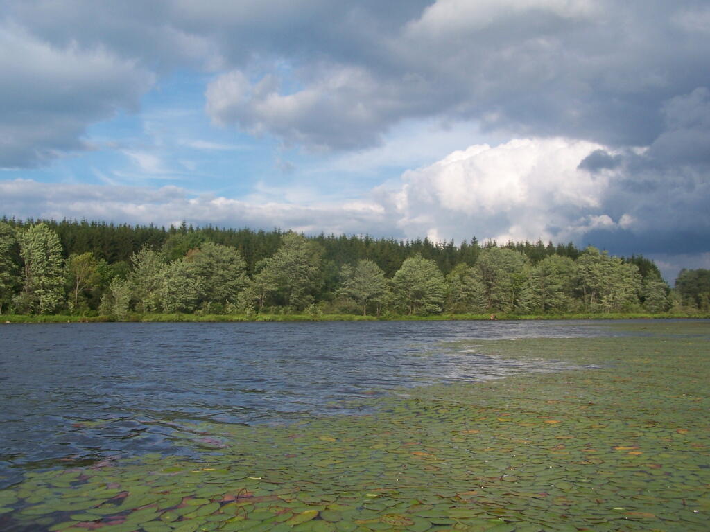
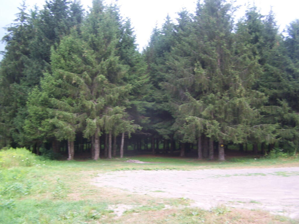
Timber Planation Along Long Pond

Blue Skies

Checking the Map

Clearing

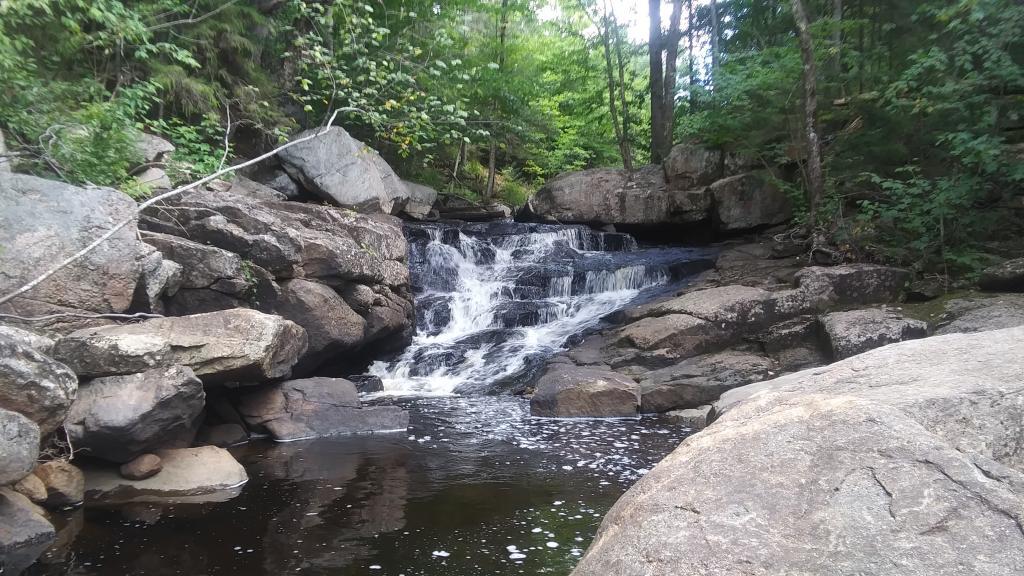
Hatch Brook Falls

Dam at End of Lake

 Fields

White Birch Planation

West from Dam

Campsite 7

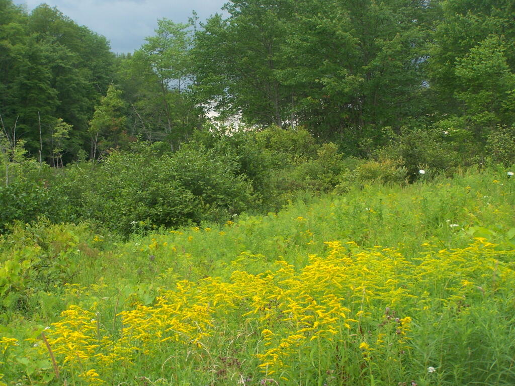
Golden Rod

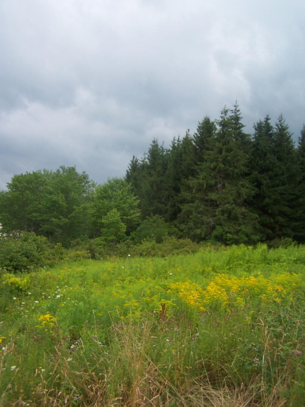
Golden Rod, Trees, Clouds

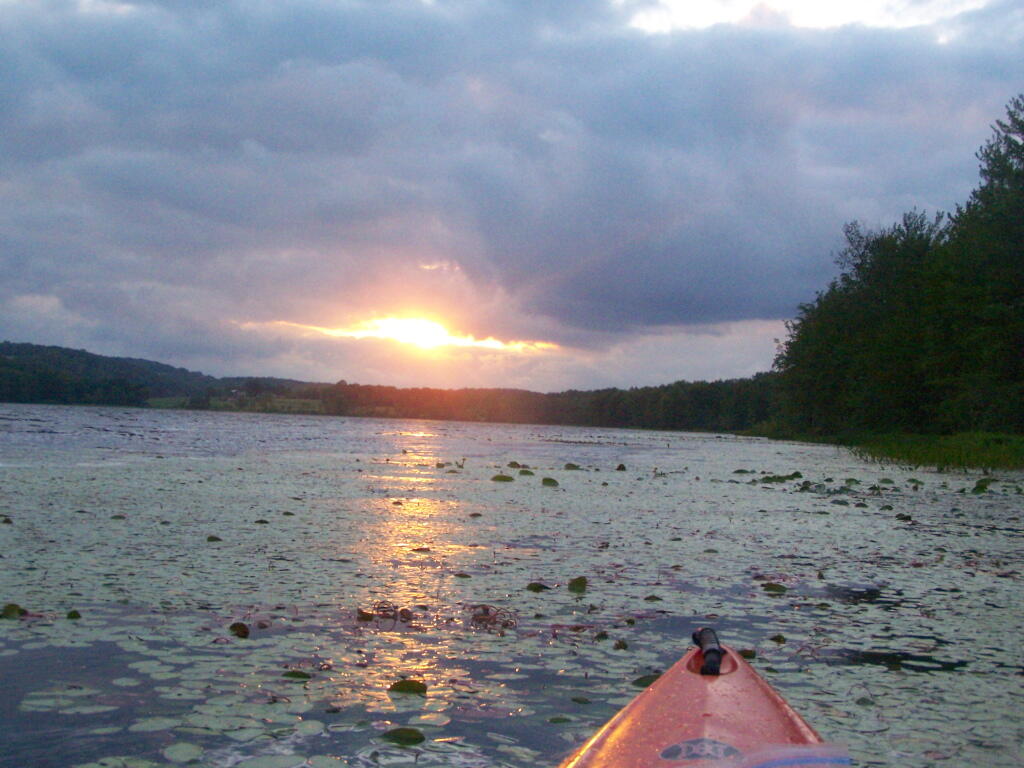
Evening Sun Peaking Out

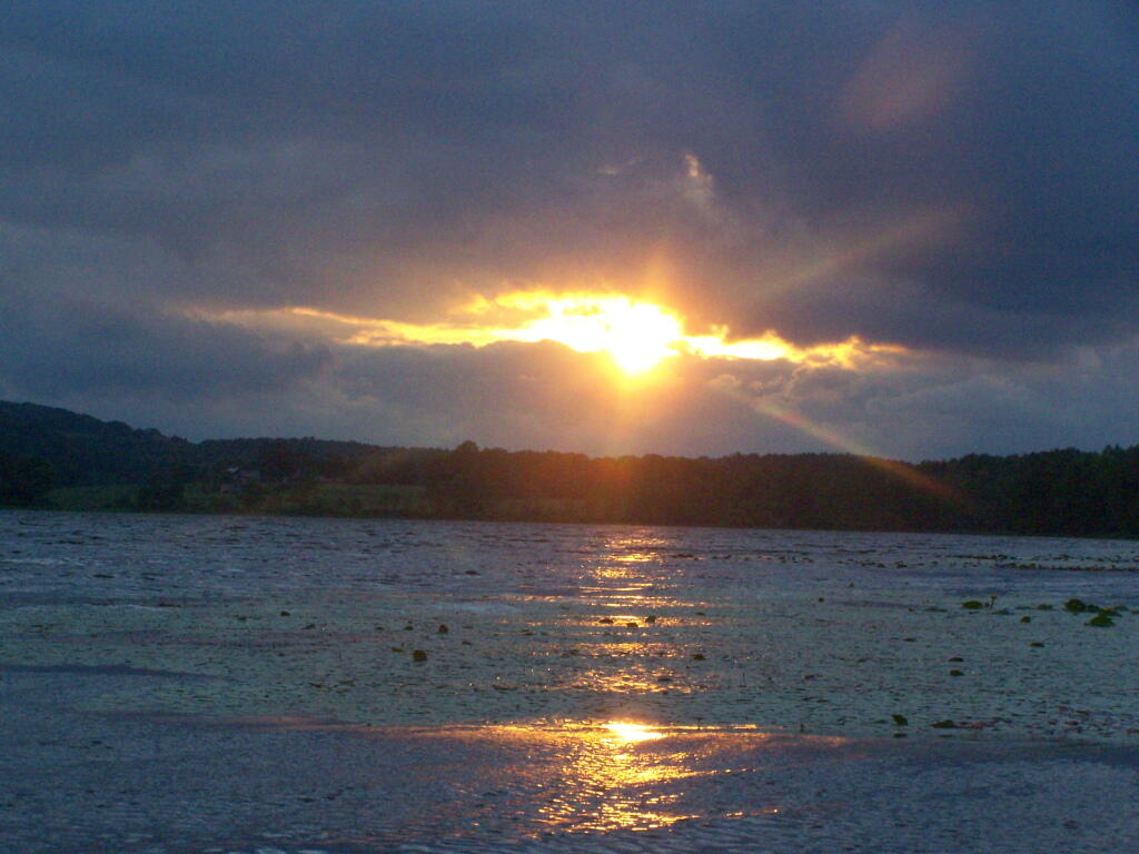
Rays Hitting the Pond

Backlit

Evening Sun Peaking Out

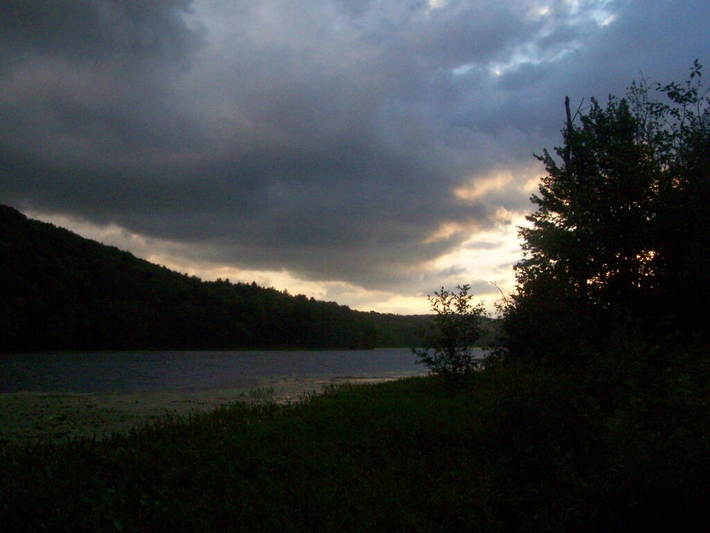
Sunset on the Lake

Sun Rays

Reflections of Sun

Cap and Trade or Performance Standards

After reading “Saving Energy, Growing Jobs” by David Goldstein, I am convienced that Preformance Standards, rather then Cap and Trade is a better way to reduce our greenhouse emissions.

Descending Acra Point

Here is Why…

  1. Cost does not always induce conservation or efficency
  2. People and corporations are willing to pay a lot more for energy without changing behavior or investigating alternatives
  3. Individuals have little choice in buying efficent appliances — most appliances of a certain size consume a certain amount of energy
  4. Information on energy efficency is complex, little understood by the public
  5. Energy taxes will hurt the poor disproptionately

Horse Tiedown

What Cap and Trade is…

  1. A hard national limit on emissions is set.
  2. A tax on emissions is set by a market based on the demand to emit carbon dioxide emissions. The more demand for carbon dioxide emissions, the higher the tax.
  3. Every consumer of energy pays a “tax” related to it’s carbon emissions as a disinsentive to consume energy that produces carbon dioxide emissions.

Open Window

What Preformance and Efficency Standards Are…

  1. Every electric utility, every oil or gas supplier is required to meet a standard on how much carbon dioxide may be released per average unit of enery produced and distributed.
  2. If they are above that standard, they must buy alternative forms of energy as part of their mix to reduce their average carbon intensity. Failure to comply will lead to substantial fines. This is how Corporate Average Fuel Economy or CAFE works.
  3. Utilities along with oil and gas suppliers will be required buy more renewables and put them into their mix, to reduce the carbon intensity of the energy source they provide to consumers.
  4. Every new appliance, every new car or truck is required to meet a specified level of energy efficency. A televison for example, would be prohibited from consuming more then X watts per square inch.

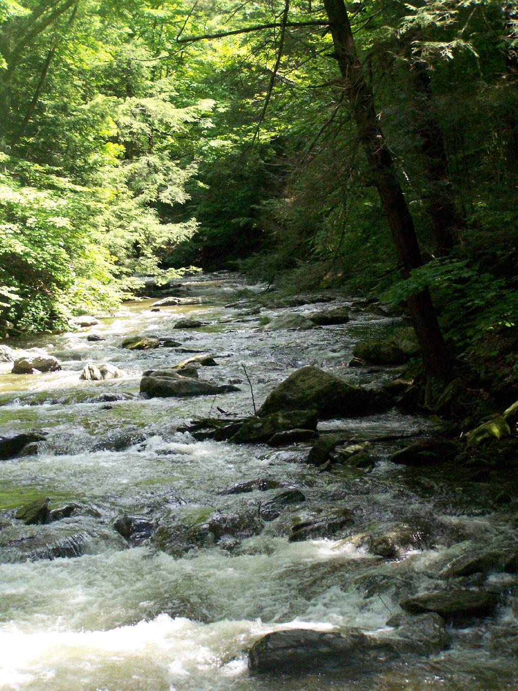
 Brook

Why Preformance Standards are Better…

  1. Preformance standards are not a tax or fee. They do not neccessarly raise the price of energy or of a consumer product.
  2. Consumers save money by ensuring the new appliances they buy are energy efficent. Consumers don’t pay an energy tax as with cap and trade.
  3. Preformance standards, per US Energy Law, do not prohibit features, but instead require high standards of efficency for all models. If you want to buy a gas guzzling SUV or big television, that’s your right, but manufacturers will be required to make sure the average of all cars and television sets are efficent.

Boreal Forest

There Are No Hard Targets for
Greenhouse Gases with Preformance Standards…

  1. Preformance standards are set based on national goals to reduce greenhouse emissions to levels that are demanded by science.
  2. The objection raised by Cap and Trade proponets is that preformance standards do not guarantee a set level of reduction of greenhouse gases by any one year.
  3. If people use a lot of electricity one year, or drive a lot of miles in their cars, then the preformance standards would be canceled out temporarly.
  4. The EPA can compensate by toughening preformance standards for energy generators and new appliances. People (at different times) are constantly replacing cars, television sets, and appliances. This leads to a constant chance at improval in energy efficency and a constant decline in carbon intensity.
  5. It’s better to have a system that has flexibility, so that carbon emissions can rise temporarily in relationship to a hot summer or sudden economic boom.

Why Preformance Standards Will Ultimately Win
in the Climate Change Debate….

  1. Preformance standards are generally allowed under existing law.
  2. The EPA can regulate emissions from smoke stacks, including carbon dioxide at the tonnage level or the per MW/hr level. The EPA would however need Congressional approval for a system that would set carbon dioxide standards public utility-wide level.
  3. Preformance standards for appliances are well established. While tightening of some standards would require Congressional approval, most legislators are far more comfortable with tougher energy efficency standards then an economy wide tax.
  4. Preformance standards are not a tax and do not raise energy prices.
  5. Energy efficency does mean a ban on any appliance or any feature people are used to. It’s the internal redesign of existing appliances, to make them consume less energy for each unit of work done.

Private Forestland Not Farms

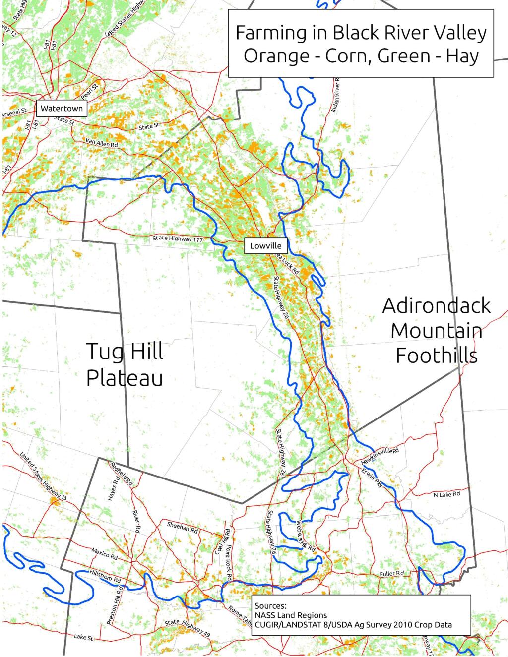
When I was younger I used to think of the Tug Hill Plateau as a vast agricultural region. It really isn’t. There are farms in Black River Valley, but not so much up on the Plateau, especially as you gain elevation.

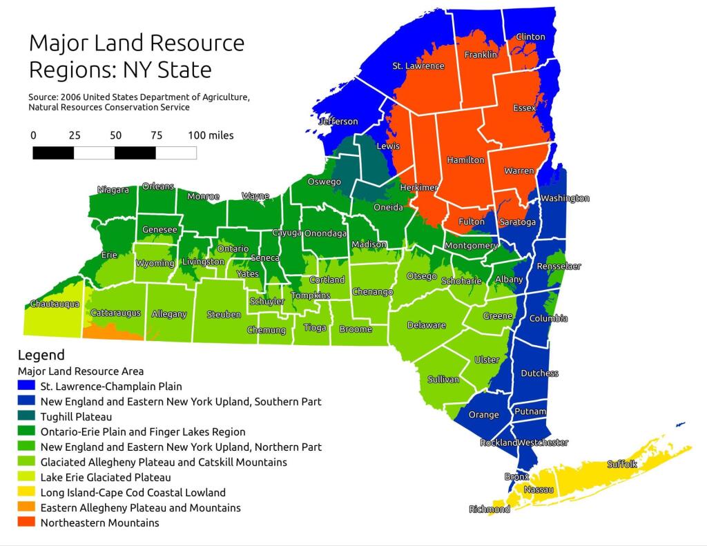
Major Land Resource Regions

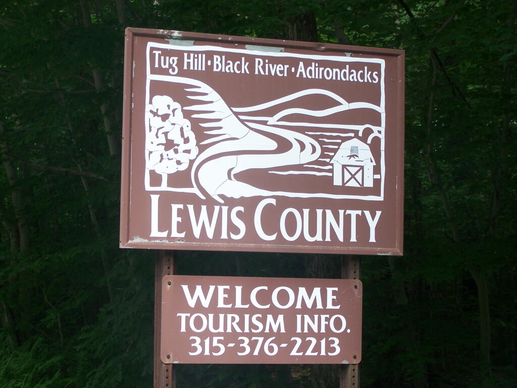
The signs going into Lewis County say “Adirondacks-Black River-Tug Hill”, and except for that relatively narrow band running along the Black River, Lewis County doesn’t have a lot of farming — much likes the rest of Tug Hill Plateau.

Lewis County: Tug Hill. Black River. Adirondacks.

An elevation map of NY shows that most of the Tug Hill Plateau is between 1,000-2,000 feet elevation, but that’s high enough in NY to make agriculture unprofitable in most of state due to short growing season.

Hot evening walking along the Catharine Creek Marsh

The Black River Valley, with it’s fertile soils notched between the Adirondack Foothills and Tug Hill Plateau make Lewis County a major agricultural producer, with 262 dairy farms, including some of the largest in state. The area around Lowville is excellent agriculturally, until you start back up in to the hills on both sides with their short growing seasons. Dairy farming makes up 20% of the land use in Lewis County (per 2010 USDA NASS), but almost all of that occurs in Black River Valley or slightly up the slopes of Tug Hill Plateau.

 Farming In Black River Valley: Narrow Band of Farms Between Tug Hill and Adirondack Foothills

In many ways the Tug Hill Plateau is a fascinating region of the state. Unlike the Adirondack Park, only a relatively small portion of it is publically owned. About 2/3rds of it is private timber lands, with rest being public lands. It lacks any major cities or population centers, much of it is roadless, or where roads exist, they primarily service hunting camps or timberlands.

Rainy Afternoon at Lower Tenant Falls

The remoteness of the Tug Hill Plateau remains a real fascination for me.

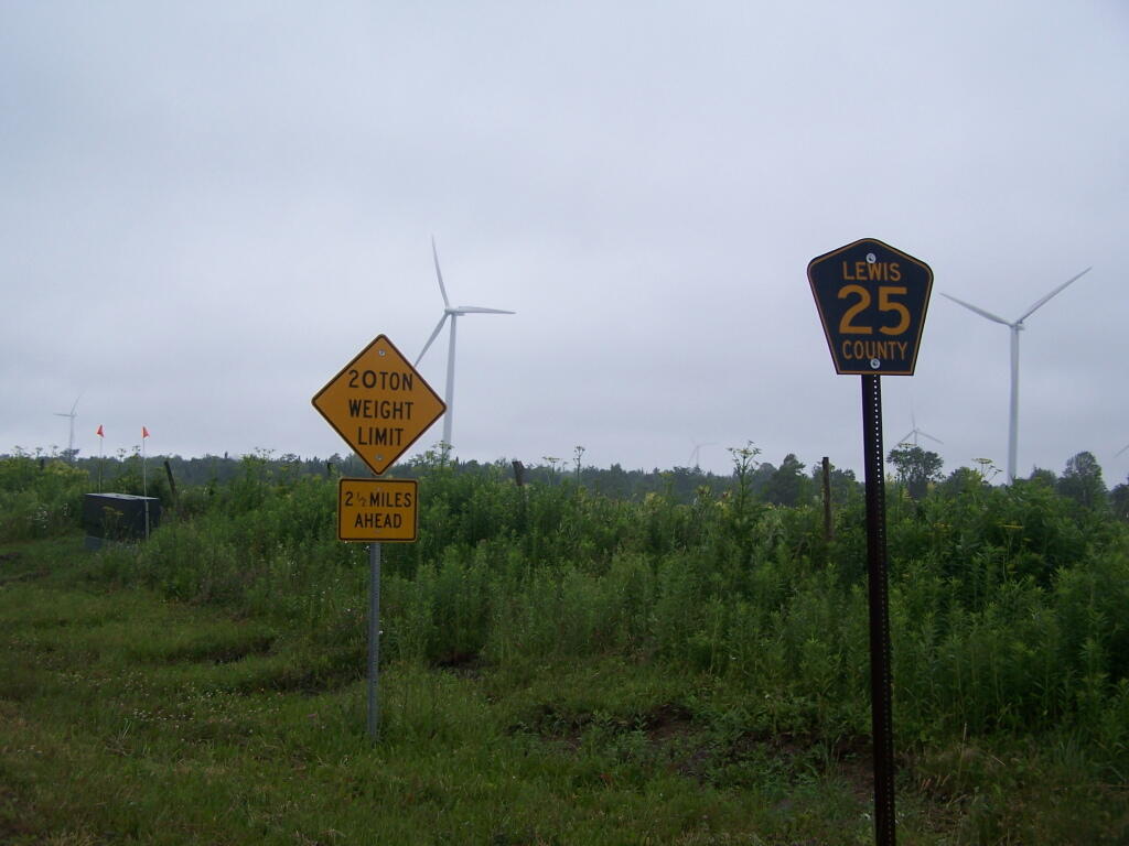
Maple Ridge Windfarm

Large NY State Forests Tend to Be Located In Rural Areas

There are many state lands across New York State.

Paddling Cayuta Lake Inlet

The problem is, for many New Yorkers, the largest and most interesting parcels — the Catskill Forest Preserve, the Adirondack Forest Preserve, larger state forests like Brookfield Horse Camp, Brashier Falls, Tug Hill State Forest, Sugar Hill, are all a long drive from where they live.

This map shows the town population versus the location of state forest and forest preserve lands that are popular for hiking, camping, fishing and hunting. I did not include state parks. Note how unpopulated most areas are with large state forests.

Down By Long Pond

To demostrate how dramatic this is, take a look at a map of urbanized or otherwise developed areas of New York State based on Landstat data. Yellows are suburban areas, while reds are urbanized downtowns with few trees or forest — the kind of people you would think would most likely want to spend time in the woods.

Craziness at the Early Vote place

Maybe we don’t want lots of urban folks coming to the state forests. Maybe there remoteness keeps people away. Yet, it shows the large disconnect from large public lands and the population centers across our state.

Lack of Agriculture Defines the Adirondacks

Often people think of the Adirondack Park as being the Adirondack Mountains, a very rugged and mountainous area. But as one would see from exploring much of the Southern and Western Adirondacks, a lot of the Adirondack Park is relatively flat. Not flat like Kansas, but with peaks who elevation change rival other portions of the state not in the Adirondack Park.

Hot evening walking along the Catharine Creek Marsh

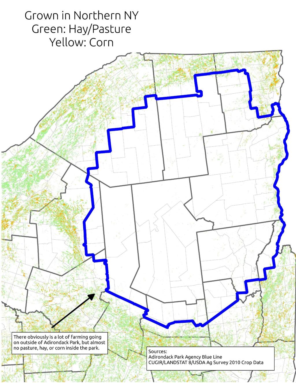
Most of NY State east or south of Finger Lakes is not flat. There can be significant rise in hills in these area, but we don’t consider such regions to be portions of Adirondack Park or even Catskill Park. Those lands are un-designated and not managed on a regional basis. They aren’t called a park. But what makes the Adirondack Park a cohesive unit is lack of agriculture occurring on it. Few portions of the Adirondack Park have a growing season long enough to support corn farming.

Farms in North Country

Corn is the basis of much contemporary and historical agriculture. It primarily is grown in NY State to feed dairy cattle. Dairy cattle are important, because they can provide a year round income for a farm family in form of milk sales throughout the year. Where corn can grown, silage can be made, and dairy farms can be sustained. Where there are dairies in NY State, their often is an agricultural support system that allows other farms to exists. Moreover, dairy farming is typically a mark of land able to sustain some kind of farming — if you can’t raise corn on a piece of land nearby, it’s unlikely that it would allow fruit or vegetable growing.

 The Catskills

Moreover, without an agricultural base, their is little reason historically for people to move to Adirondack Park. People traditionally where reliant on local food supplies. Little food could be grown in the park. Even if people could import food into the park, their historically was few jobs outside of logging and mining — occupations that could only support a limited number of workers. Without an agricultural basis, few cities could spring up within the park.

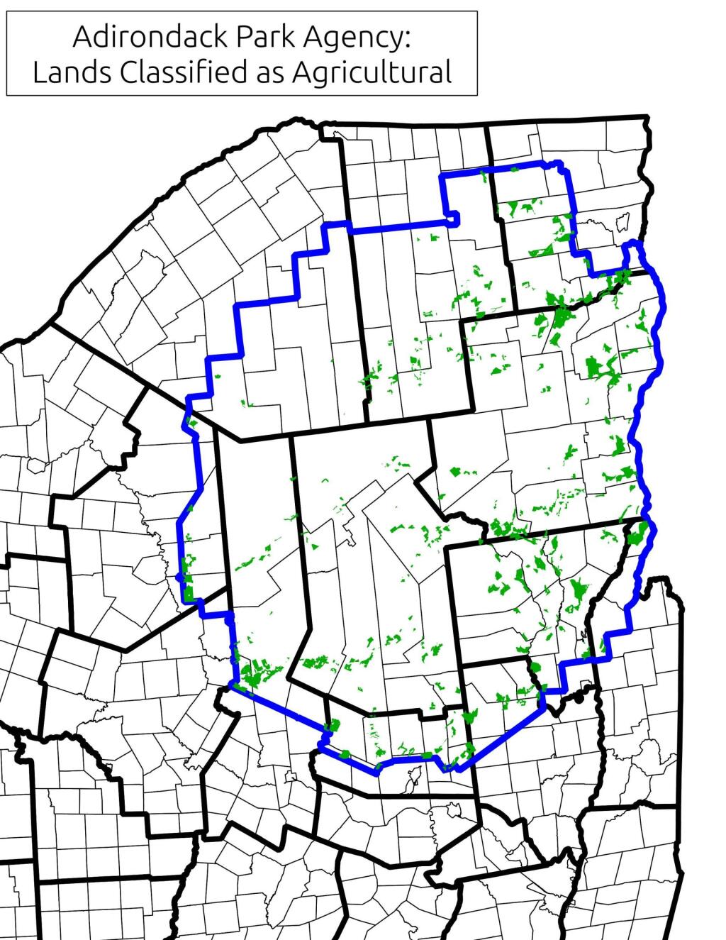
Lands Classified as Agricultural By Adirondack Park Agency

Most of the land in the Adirondack Park historically was logged or mined. Logging operations are a long-term investment, with many species of trees taking 30-50 years to grow to a profitable size. Many loggers historically stripped the land of it’s trees, and then abandoned the land or otherwise turned it over to the state. That’s how the state ended up with so much land in the park. If it had been productive farm land, much if it would still be in agricultural production, with remaining lands being converted into rural residential lands, or smaller privately owned forests.

Distance to State Parks

It wasn’t an act of the legislature that prevented the Adirondack Park from becoming too developed. It was a lack of corn and cattle based agriculture, as the elevation way too high to support such farming. No farms meant no civilization, and most of the park remaining timberlands, much abandoned to state use. If Adirondack Valleys where low enough to support some agriculture, their would have been much more development and civilization, then the largely wild and undeveloped Adirondack Park of today.

Major Land Resource Regions

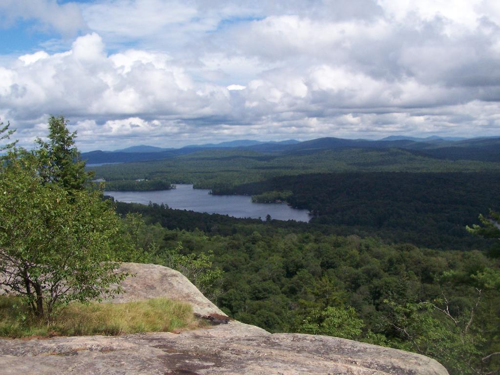
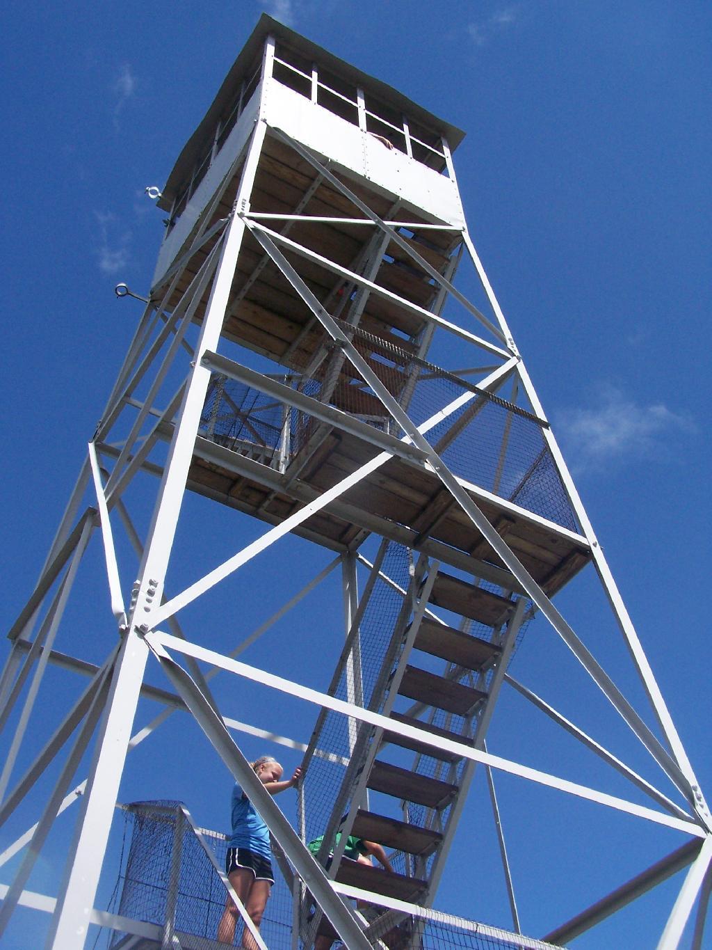
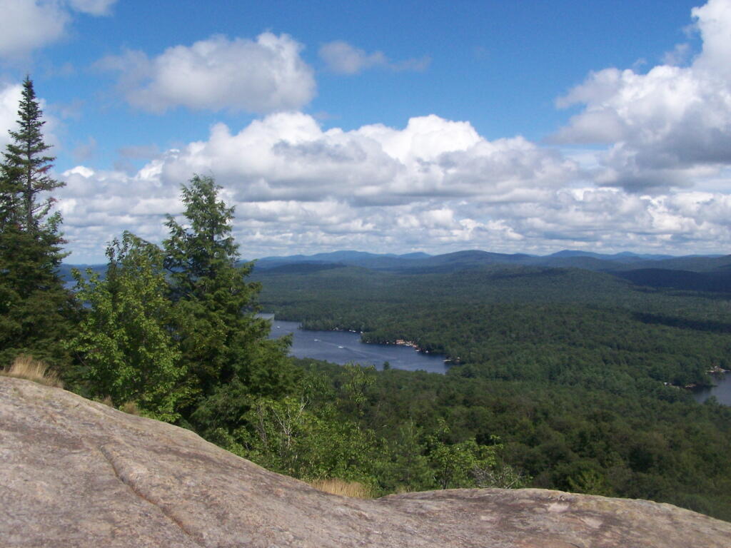
Rondaxe Firetower

Click below to download or print this map up.

 Ice Sheets

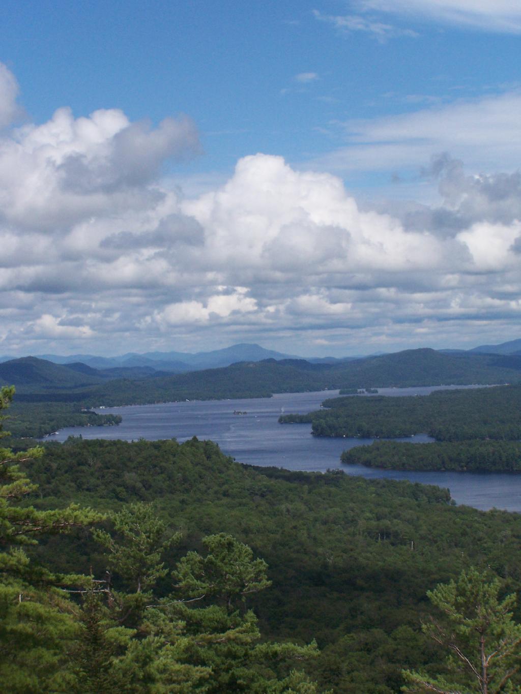
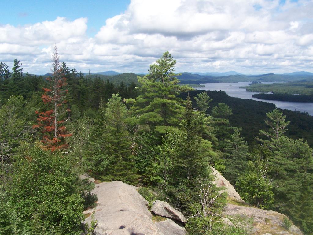
Rondaxe-Bald Mountain Firetower.

Rondaxe-Bald Mountain Firetower

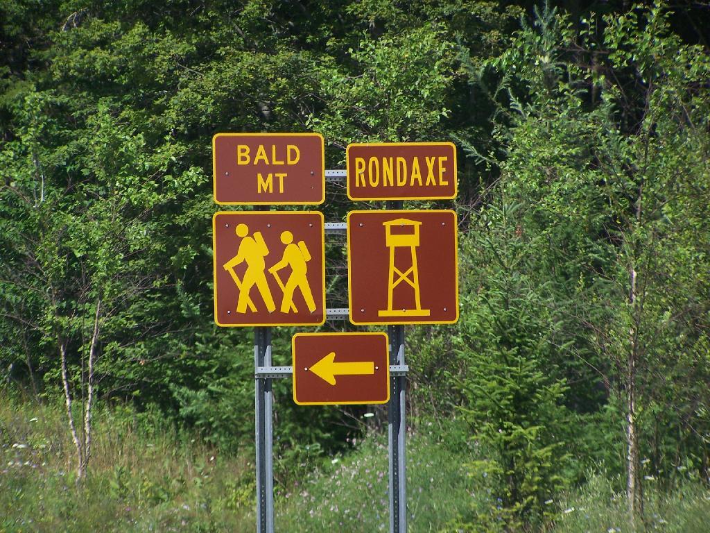
Most of the mountains and pull offs in the Adirondacks are very well signed, complete with brown and yellow DOT reflective signage.

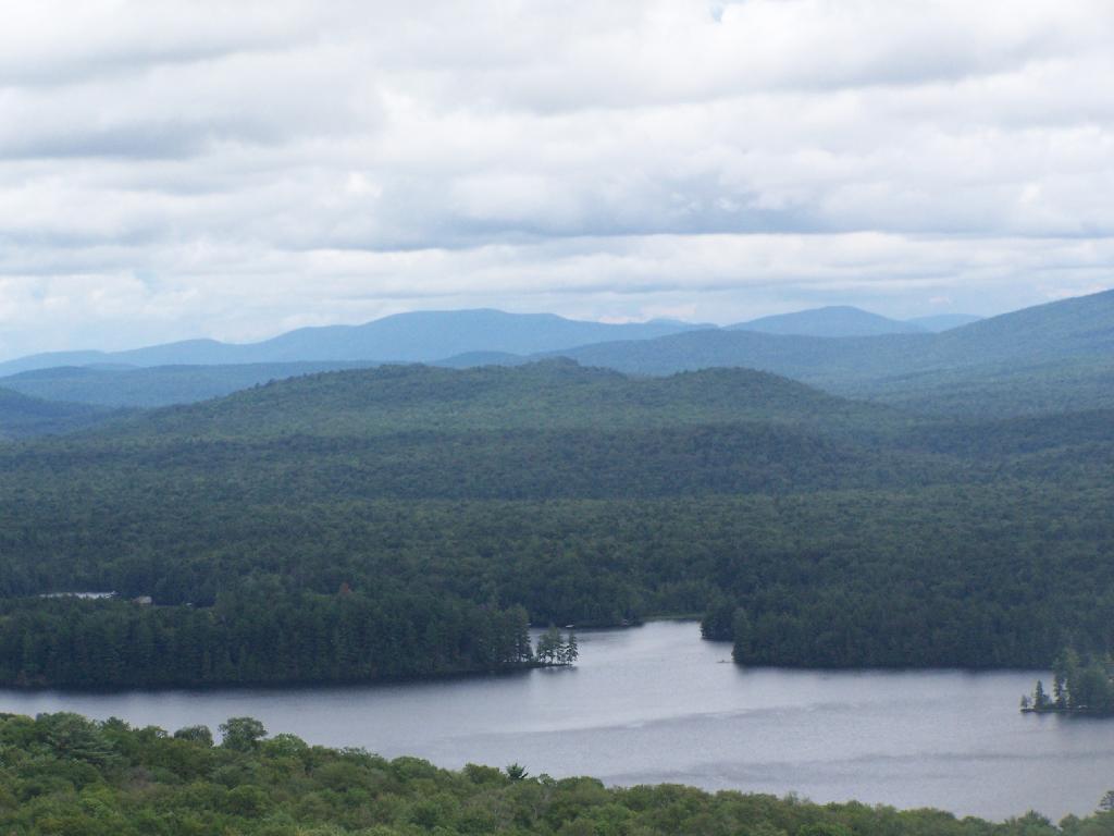
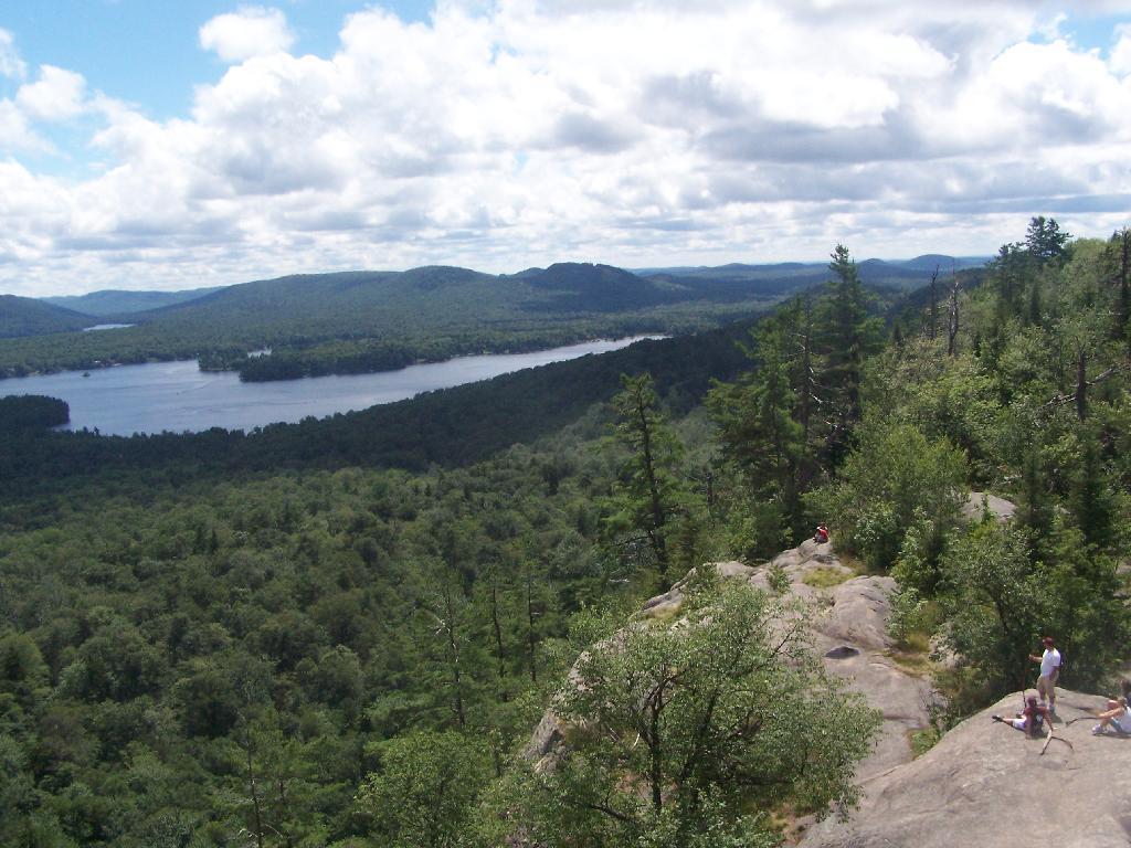
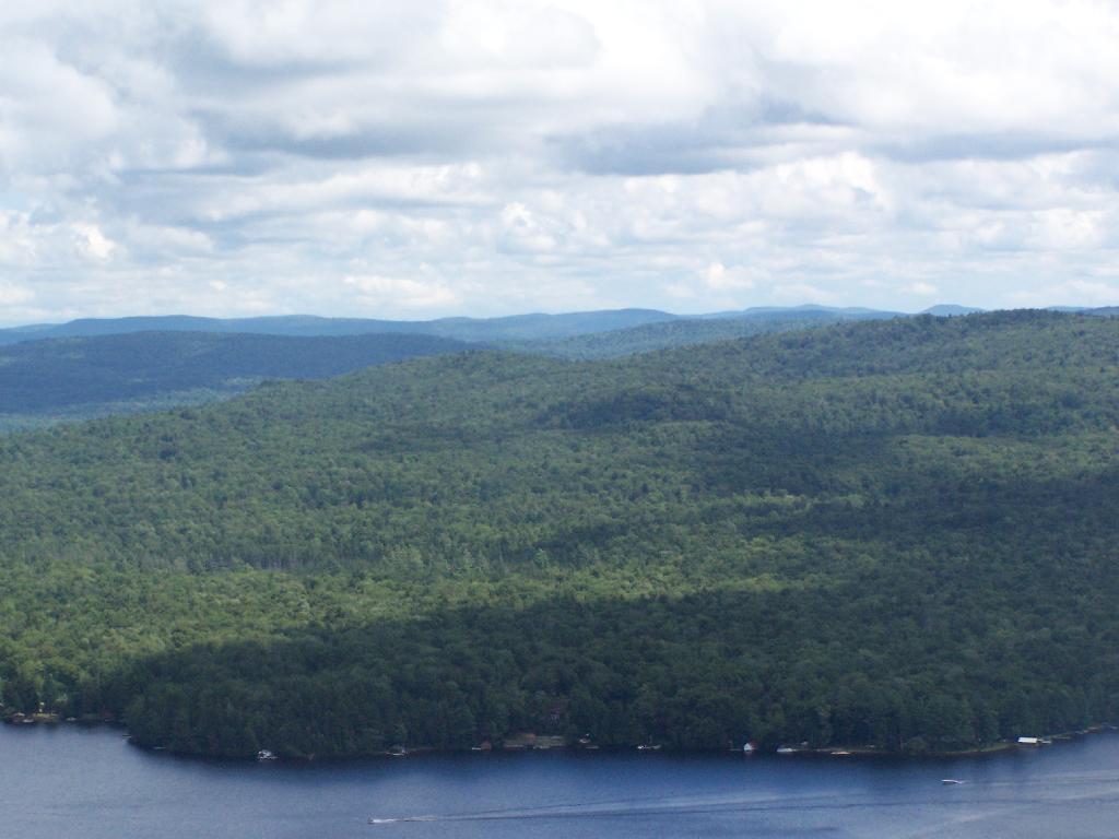
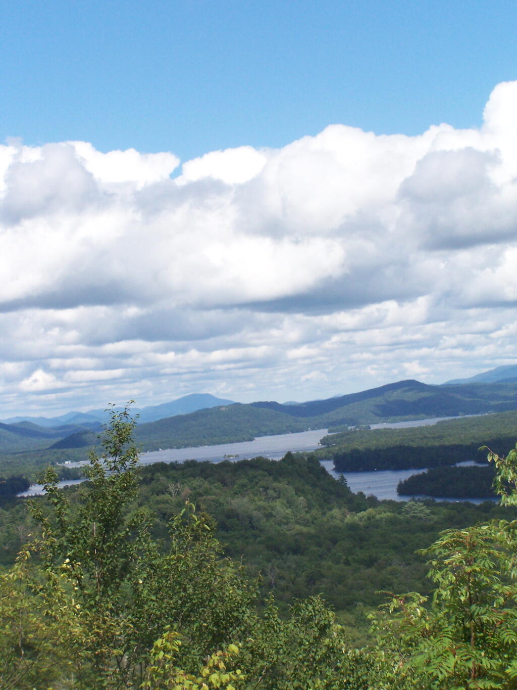
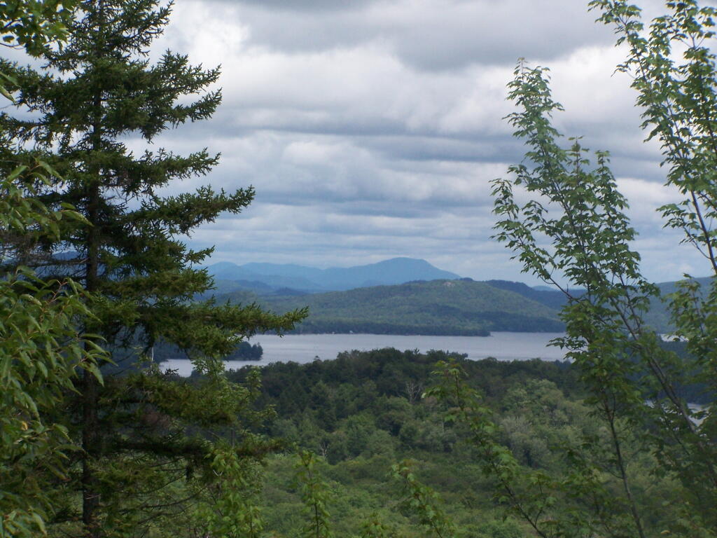
Fourth Lake.

Fourth Lake and Plains Behind

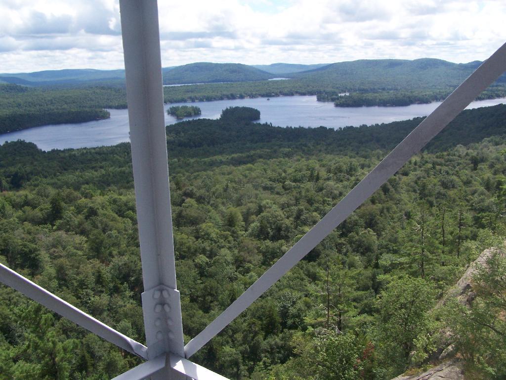
Rondaxe Tower.

Rondaxe Tower

Fourth Lake and Plains Behind.

Fourth Lake and Plains Behind

Before It Cleared Out.

Before It Cleared Out

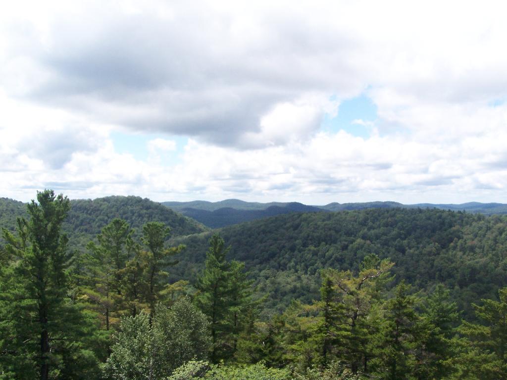
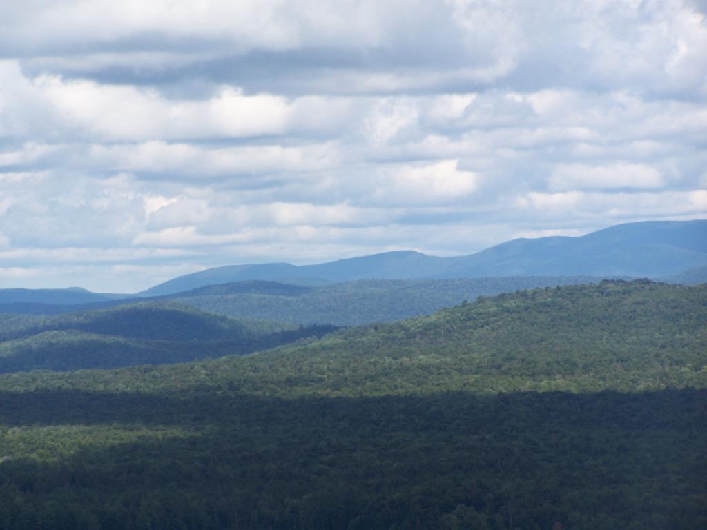
East from Rondaxe.

East from Rondaxe

North.

North

Popular Tower.

Popular Tower

First Lake.

First Lake

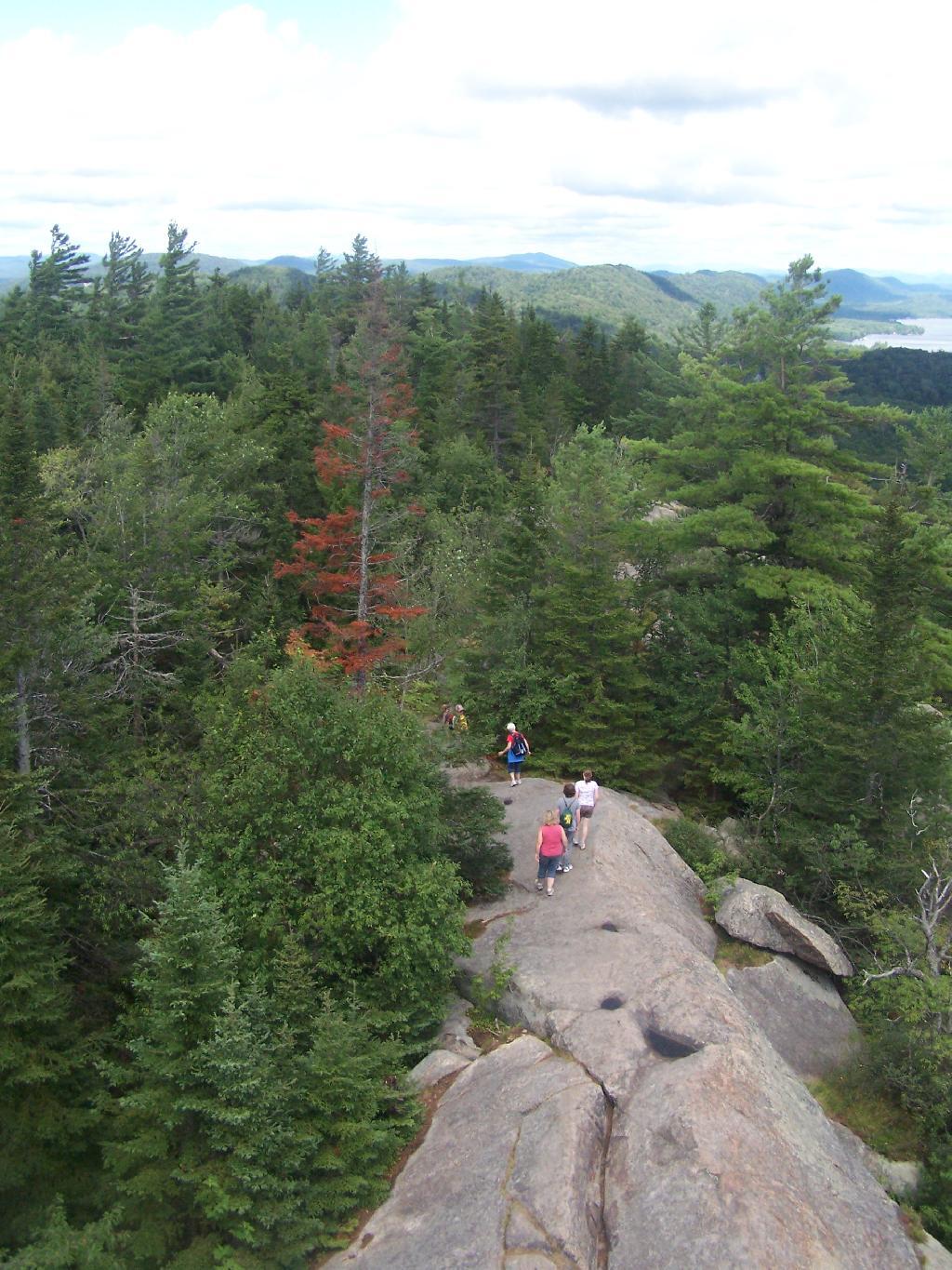
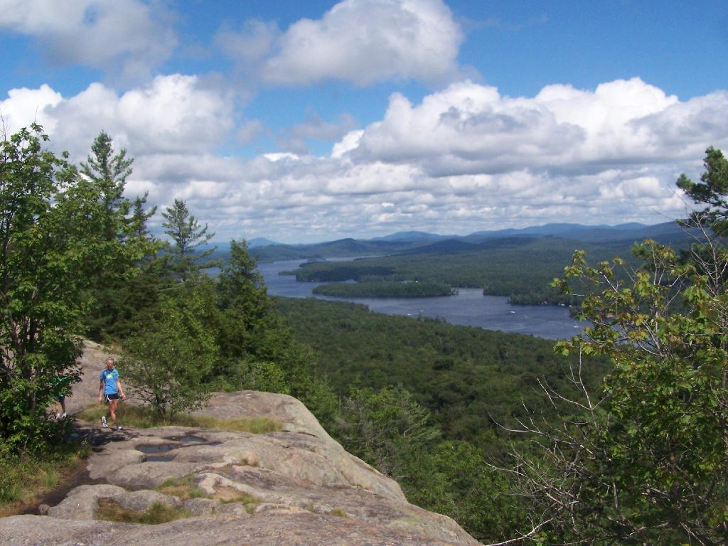
Hikers.

Hikers

Bald Top of Mountain.

Bald Top of Mountain

Corner.

Corner

Looking at First Lake.

Looking at First Lake

Fourth Lake.

Fourth Lake

Ridge.

Ridge

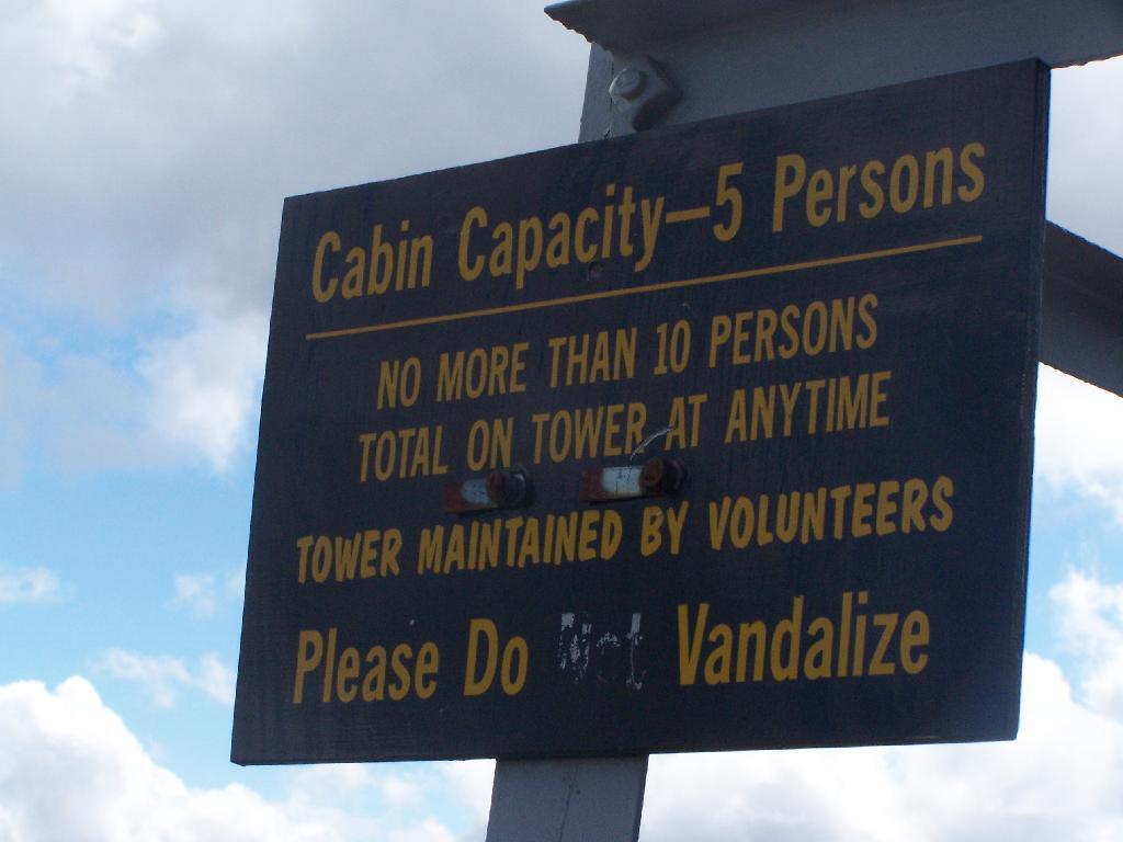
Please Do Vandalize.

Please Do Vandalize

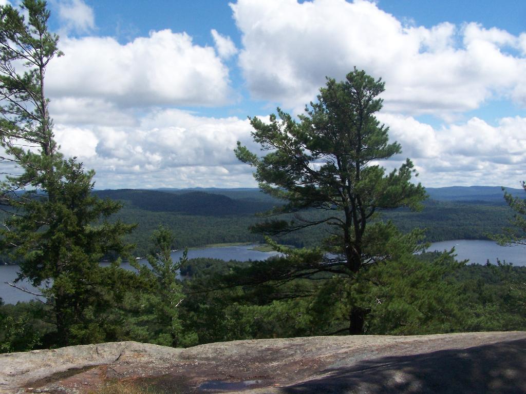
Lakes Along Trail.

Lakes Along Trail

Hikers Enjoy the Purty Lake.

Hikers Enjoy the Purty Lake

Bald Ledge.

Bald Ledge

Clouds and Trees.

Clouds and Trees

Untitled.

Untitled

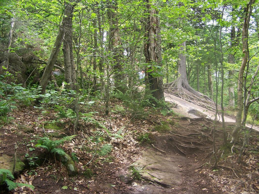
Hiking Up Bald Mountain.

Hiking Up Bald Mountain

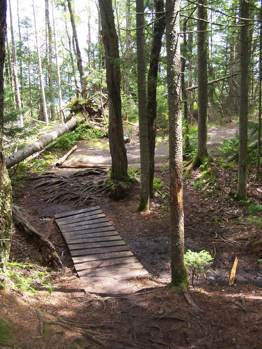
Foot Bridge.

Foot Bridge

Towards Cascade Mountain.

Towards Cascade Mountain

Stormy Clouds.

Stormy Clouds

Renovated Tower Base.

Untitled [Expires July 27 2024]

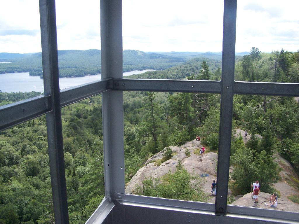
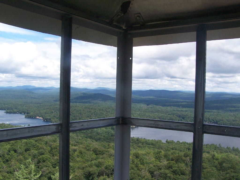
Tower Windows.

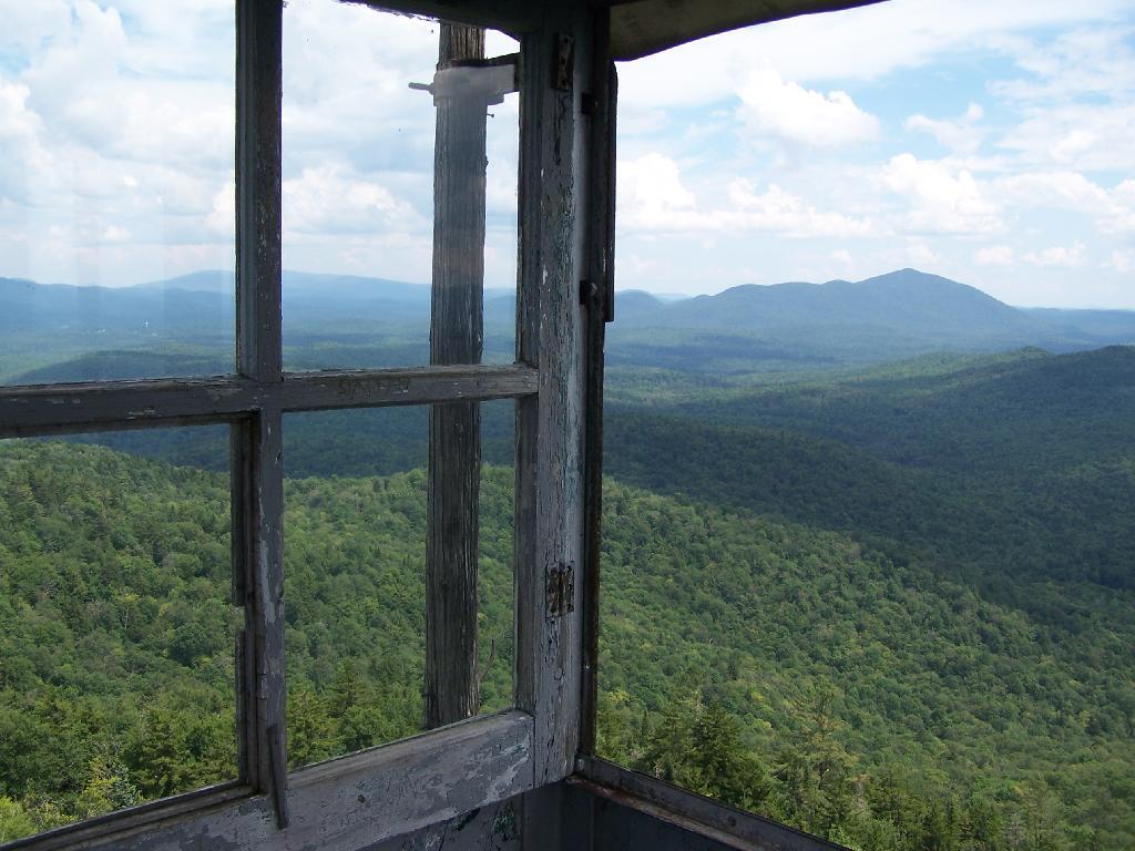
Tower Windows

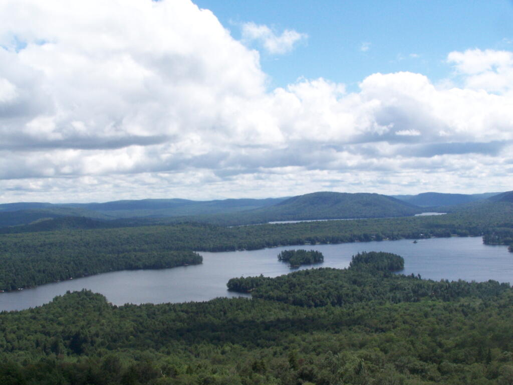
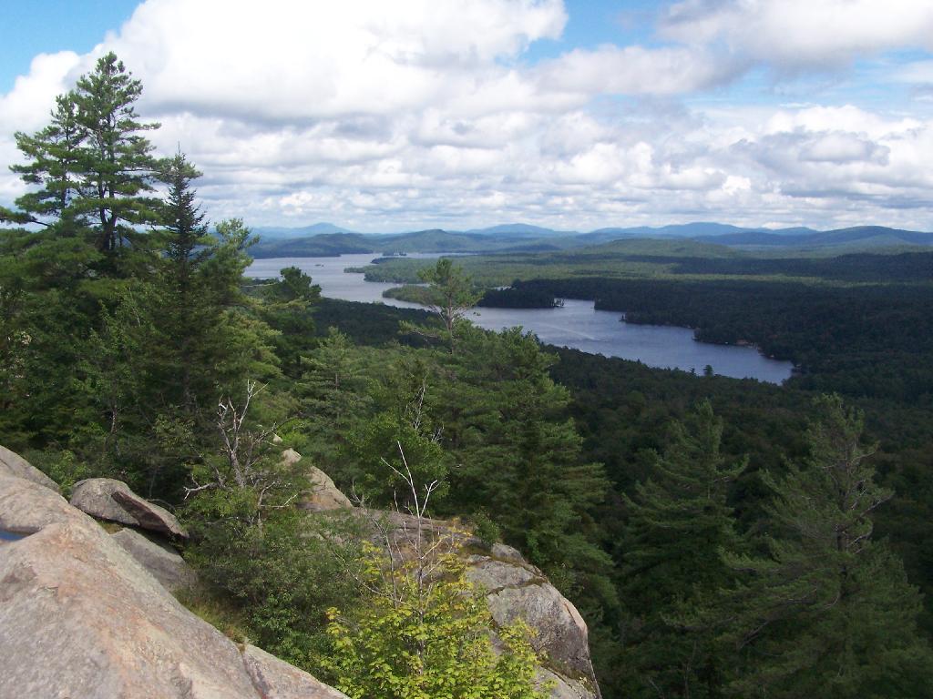
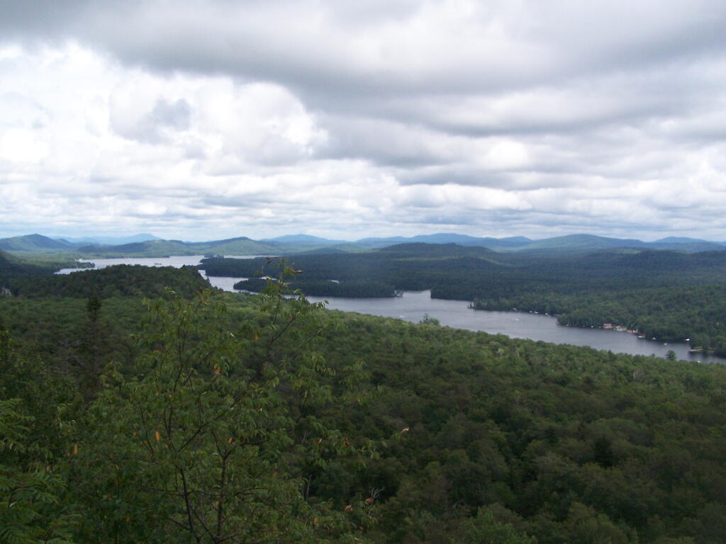
Fourth and Fifth Lakes.

Fourth and Fifth Lakes

CDTA Albany Route Restructuring Plan Comments

Ross Farrell
110 Watervliet Avenue
Albany, New York 1220

(via electronic mail)

Dear Mr. Farrell:

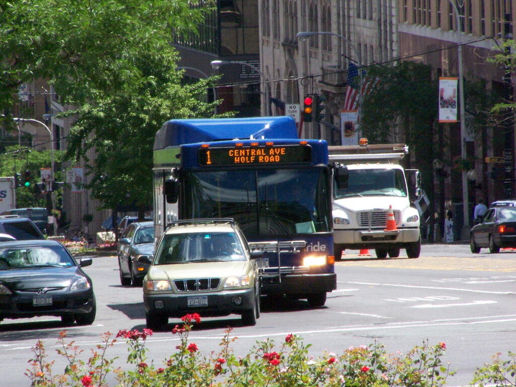
I am writing you with my comments and concerns about the proposed CDTA Albany County Route Restructing. I am a regular rider of the Route 18 and Route 19 CDTA buses to and from Downtown Albany where I work for the NYS Assembly. I ride over 3,000 miles per year on CDTA, which allows me from having to avoid driving my big pickup truck in the city or paying for parking.

During session nights I frequently work after 9 PM or have a risk of working after 9 PM. Continuing service until 11 PM, reduces my need to drive downtown except for rare occasions. I was quite happy to see service expanded to later nights.
Ramps

Public’s Right to Know.

1) I would urge CDTA to extend the comment period for the Albany County Route Restructuring until at least August 21, 2011.

2) CDTA must disclose proposed schedules and further details on proposed route changes, rather a broad overview of plans. The public must have right to review detailed plans, and offer suggestions for improvements — such as start times, routing, placement of bus stops. Simply putting GIS data online might be valuable to interested users, and would avoid unnecessary Freedom of Information Law requests.

3) The public has the right to know about plans for so-called suburban and express bus service. Will the Route 19 service be canceled or reduced? How will it interact with Route 18 local service?

Unlawful Segmentation of Albany County Bus Service Plan.

4) The exclusion of “Suburban Bus Service” and “Urban Bus Service” in the proposed Albany County Route Restructuring is an unlawful segmentation of the Albany County Restructuring Project under both the National Environmental Policy Act and the State Environmental Quality Review Act.

CDTA, unlike the Metropolitan Transit Agency, is not exempt from SERQA. Any negative declaration given to this proposed restructuring is therefore illegal, and could be subject to Article 78 CPLR action by citizens against CDTA. See Concerned Citizens for the Environment v. Zagata, 243 AD2d 20 (3d Dept 1998) and Aldrich v. Pattison 107 AD2d 258 (2d Dept 1985).
Hybrid Bus

Route 18 Improvements: Needed and Sensible.

5) I support the expansion of Route 18 service until 11 PM. However details are not provided. Will the service go all the way to Price Chopper until 11 PM, or will the buses turn around at the Four Corners ? How frequent will the service be? CDTA should disclose such information to the public on it’s website.
There should be at least hourly service in evenings, with last bus leaving Albany around 11 PM, and the service should go all the way out to Price Chopper, and allow easy transfers between Route 13 and Route 18 until the last buses run in the evening.

Later night service is handy for the many legislative employees who work late into the evenings, and need a convenient way to get home after the last 9 PM bus runs out to Delmar. It also is great for those of us who attend functions after work, and do not wish to drive home after having a couple of drinks.
6) I support the plan to consistently route buses through Delmar via Cherry and Delaware. This will make it less confusing, and adds additional services to the many apartments along these roads.

7) I support having the Route 13 and Route 18 hub out of Price Chopper in Slingerlands. Will this occur all day long, including evenings? Will Route 18 buses become Route 13 after layover, to allow riders to continue on the same bus, after a short layover to destinations off of New Scotland Ave?

8) I am not opposed to reducing service to Grove Street to the Route 19 Express service. Grove Street in Slingerlands has minimal ridership.

9) I am neutral on expanding service to Sundays. For senior citizens or those without cars, this is a good thing.

10) While not part of this plan, I would encourage a rationalization of the times that the Route 19 Express service runs. I would encourage the Route 19 start times to change to the following: 7:15 AM depart Voorheesville (arrive at Orange and Broadway at 7:57 AM), and 8:15 AM depart Voorheesville (arrive at Orange and Broadway at 8:57 AM). The schedule times that Route 19 bus runs in the evening are acceptable, but consider possibly running a 6 PM bus if revenue hours permit it.

Thank you for considering my comments.

Sincerely,

Andy Arthur