Important Update: Make sure to connect the negative terminals of the two batteries. Grounding to the frame for the accessory battery will not excite the hal-effect (current) sensor, which is located on the negative terminal between the starting battery and alternator on the truck.
Not making this connection will lead to both batteries undercharging, especially in warmer weather or longer trips. Failure to make this connection will cause premature failure of the batteries, potential dead starting batteries, and repeated undercharging. You have been warned.
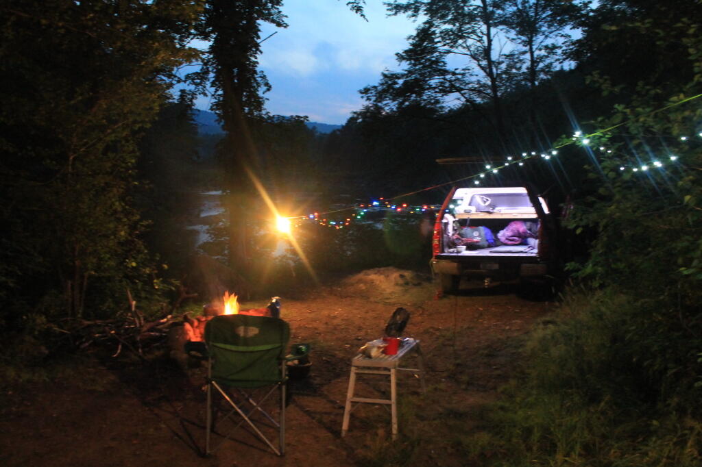
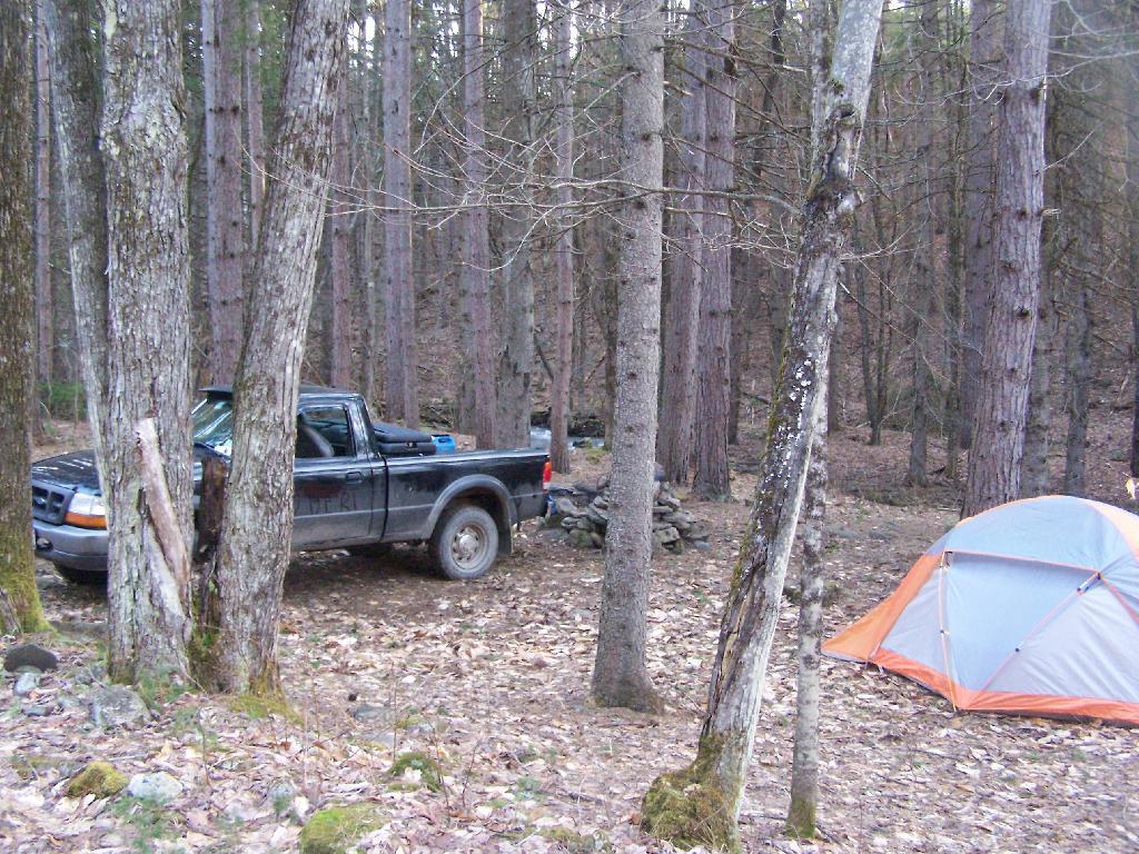
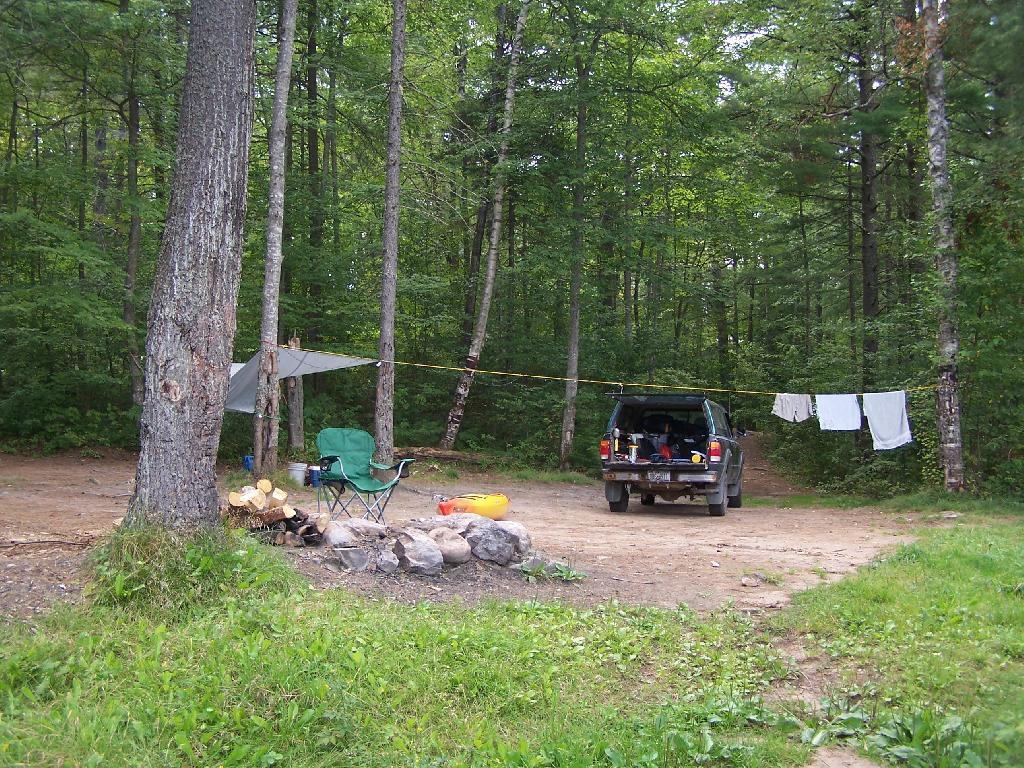
Since 2004, I have always run a power inverter off my truck, that converts 12 volt DC power into 120 volt household power. I use it extensively through the summer season to provide light and power to camp for small appliances like my alarm clock, laptop, and electric lighting. Electric lighting really beats any other camp lighting.
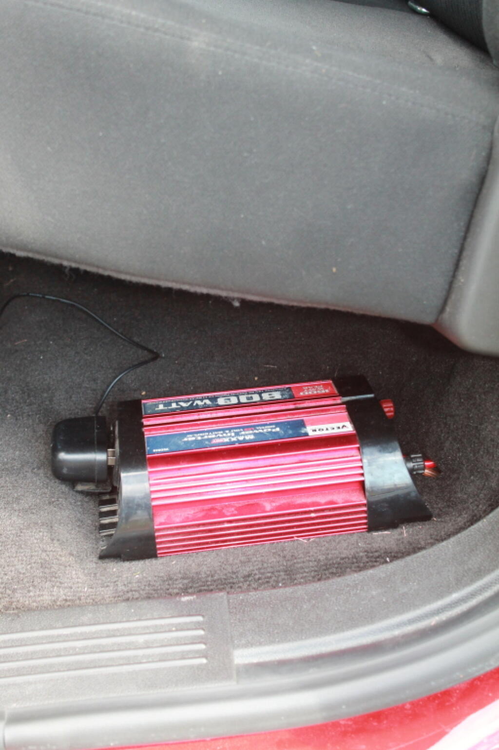
My current set up uses a Vector-brand 800-watt Power Inverter, connected to a second battery, that is disconnected from the starting battery when the engine is off. There is no danger of a dead starting battery as the second battery is disconnected from starting battery when the truck is off. Once the truck is turned on, the isolator relay reconnects the second battery to the alternator.
As long as you don’t drop the battery below 11.3 volts — where the inverter automatically turns off due to low voltage, you will have constant 120 volt output. As the isolator does not kick in until the alternator is spinning, there is no voltage drop when the engine is cranking.
When I got my 2011 Chevrolet Silverado to replace my old pickup, I was quite happy to discover that all full-size pickups come with dual battery locations, and at least with All-Star Edition Silverado, all of the hardware for installing a second battery exists (second battery tray, high-output 145 amp alternator), except for the $5 tie down and the wiring.
Equipment Used and Costs.
The installation would have cost me a total of around $475, although $75 of it was the inverter I had already purchased years ago and have moved on over my old truck.
Vector 800-watt Power Inverter – $75 – Pepboys (probably less now)
Wire, Conduit, Connectors, Fuse Tap – $80 – Boomer-McLoud
The parts total was $305. Not too bad. If were to install it all myself, it would have required additional tools like a battery cable crimp, plastic molding puller, sealants, which if you don’t own such tools and parts would add costs. In addition, you would have to buy extra parts in packages you wouldn’t neccessarly use. That proaly would add up to close to $150, plus your time isn’t free.
I had Boomer-McCloud, on Central Ave in Albany, a chain automobile electronics/car audio wiring store, do all the wiring, install the isolator and assorted related parts. They did it in two hours of labor, which cost $150. While the wiring is not rocket science, having it professionally done, increased the quality over what it would have been done had I done it myself. I am not a wiring expert, even if I know how electrons flow.
What I Had To Do.
Boomer-McLoud did all of the wiring and installation, although I had to purchase the battery and tie down, and also provide the battery inverter.
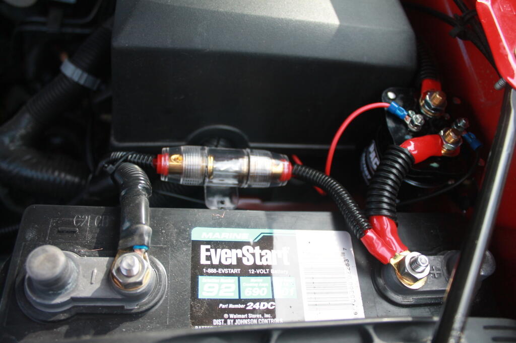
I decided to get a Walmart Everstart 24DC-6 Marine Battery, which is a dual purpose battery for starting and deep cycle. Walmart Everstart batteries are pretty good quality for the price, they are manufactured by Johnson Controls in the USA. I would have gotten a true deep-cycle, but I was on a budget, and finding something that would fit in the battery tray was a bit of a challenge. I figured if going to take some abuse — occassionally being overly deep cycled — I might as well not spend a fortune.
The Walmart Everstart 24DC-6 Marine Battery fit perfectly in the tray without sliding or being oversized, although is slightly taller then the standard Group 48 battery. It has a 101 amp/hr rating, which is sufficent power for at least a day’s worth of camp compact florescent lighting and small appliances like an alarm clock, cellphone chargers, etc. If battery gets too low, you just fire up the truck and charge it up.
Then I went to DePaula Chevrolet’s Parts Department and picked up a battery tie down. You just want the tie down plate and battery bolt. It’s like $5 for both of those parts. I then had to install the battery myself, and tie it down. You will need several long socket extensions to reach below the battery to install the tie down bolt. Once it’s installed, the battery is very secure, just like the factory battery.
Then I had to make an appointment with Boomer-McLoud, and explain what I wanted to do. They had some questions, and I showed them where I wanted the inverter mounted, and they did the rest. I just dropped it off before work one day, then picked it up later in the afternoon. Paid $315 with tax. Hit the switch on the inverter, plugged in electronics, and I was off.
Pictures of Individual Components.
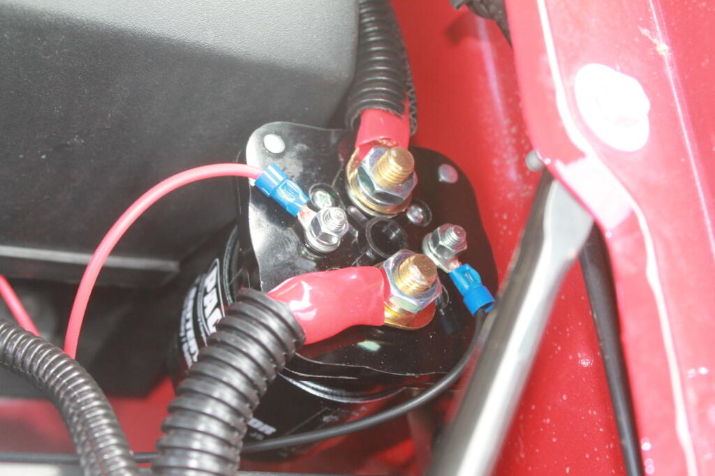
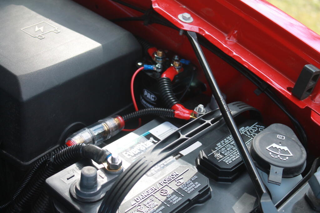
This is the second battery, with the isolator mounted close to it.
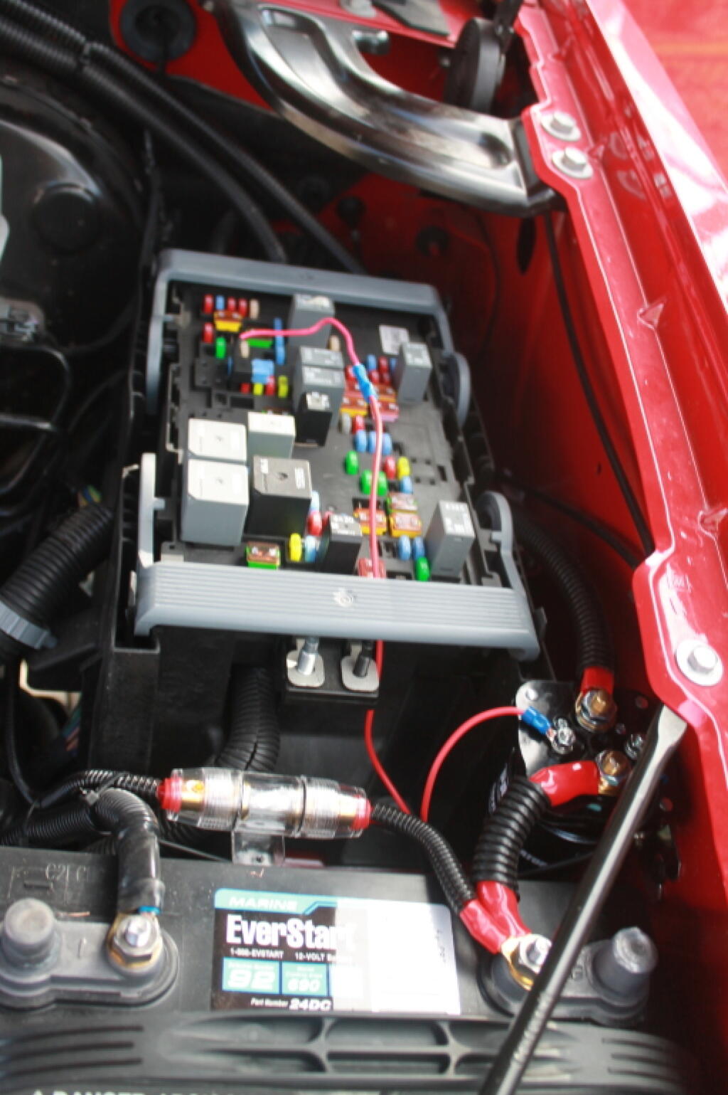
The isolator is like a giant electro-mechanical switch or relay, that is closed or “excited” by a small amount of current that causes the relay to shut. It is excited by a fuse tap in the Throttle Position Sensor Fuse from the main power bus. In the background is the main fuse bus, with the top off it.
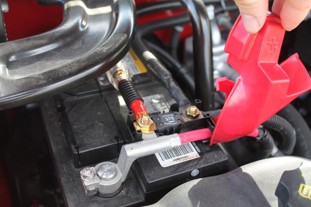
Rather then mess with any factory wiring, the main feed wire comes off of the main (starting) battery terminal. Notice the 150 amp fuse for safety. You don’t want a shorted wire to equal a fire.
Here are the fuses and other wires coming off the second (inverter battery).
And finally, the power feed to the second battery, runs right on top of the main power bus from the Main Power Bus Distribution Box, just like how Chevy does it with the factory second battery install.
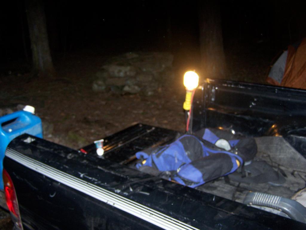
I’ve only used this set up for a couple of nights, but appears to work real well. The starting battery never gets low, the camp power works well all night long. you can easily plug in heavier loads like my 90-watt laptop adapter, and there is no dimming of headlines or sign of stress on the alternator.
I hope this is helpful. Please feel free to email me with any questions. — Andy
Today is tax day. The day where we look back at how much of our income we paid in taxes, and how much additional we must pay by today to avoid even further taxes and penalities.
It would be one thing if taxes always served a purpose of benefiting the people. Yet, we know that increasingly is not true. Increasingly taxes buy deregulation of corporations, tax breaks on wealthy individuals, and increased regulation on working folks.
Take Obamacare. The Individual Mandate is just one example of the government supposedly helping the people, while it’s mostly just a way to drum up additional income for insurance companies by forcing everybody to buy landyacht healthcare policies.
We don’t really have much of a choice in paying income tax. But we as citizens have the ability to advocate that our government use such monies for our interest, and not just for corporate benefit. We can advocate against waste and corporate giveaways. We can fight back against such policies that force individuals to buy corporate products and those that are deregulation solely in favor of corporations.
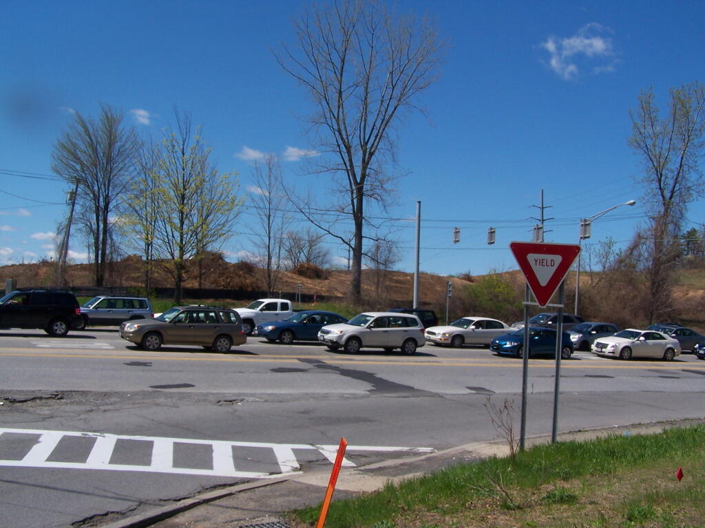
I suspect Washington Avenue Extension, built in 1968-1973 is reaching the midpoint in its useful lifespan, or maybe even a bit beyond it. It seems unlikely it will have a life much beyond 2050, and certainly not well into the twenty-second century.
Simply said, Washington Avenue Extension is a gasoline alley built into the Albany Pine Bush for the convience of us humans to get to businesses and commerical strips. It was built with the cheapest materials possible, not designed to last more then a few decades. Washington Avenue Extensive lives and dies on cheap energy, as it’s too remote of a location to be pratical for anything besides automobile commuting.
The automobile and the cheap fossil fuels that make it possible will not be around forever, especially as we as society get concerned about the impacts climate change is having on us all. It’s even located in such a remote location that trollies or other mode of public transit really do not make sense there.
There is often an unwillingness to admit humankind might not be around in the next century, or that the automobile age will end. Technophiles and advocates for the status quo advocate for solar panels, windmills, and electric cars.
Someday cracks in the concrete slab known as Washington Avenue Extension will spring dandelions and weathering will lead to the road to eventually break apart and start to fail. Rebar will rust, and eventually the forces of nature will remake the landscape, someday removing any trace of human action.
The hideous place known as Washington Avenue Extension will someday be entirely gone, a relic of earlier times. It’s quite possible that humanity will strip that road in an effort to restore the Albany Pine Bush, or even just for the materials to meet more contemporary needs in the city.
… I can’t imagine a Washington Avenue any more hideous of place then it is today — it can only get better.
“Calling yourself a liberal or conservative, is kind of like saying, I’ve made up my mind, don’t confuse me with the facts.” — Governor Nelson Rockefeller
People sometimes like to point out to me on Twitter that I re-tweet and bring in information from a variety of perspectives. Most of the time I actually agree with the stuff I am re-tweeting, other times it’s informational.
Yet, most of time what I share is from a variety of perspectives, as I’m hardly one of a solid ideological camp. I am pretty independent, picking what I want from materials generated by the Democrats and Republicans, Conservatives and Liberals, Urban-folk and Rural-folk. I simply try to share what I believe is right.
I always keep several principles in mind when it comes to defining what I think is right:
Urban and Rural Communities are Very Different – Impacts of population multiply effects more quickly in urban areas, more nuisance possibility, more possibility of conflict
Regulations on individuals should be minimized, corporations and business activities more generally ought to be regulated to serve the public good – civil liberties and general freedom should be upheld for individuals
I believe my views are actually quite consistent when it comes to context. I just believe in maximum individual freedom, and maximum freedom for those who live rural areas, while appropiate restrictions for urbanized areas where large groups of people live.
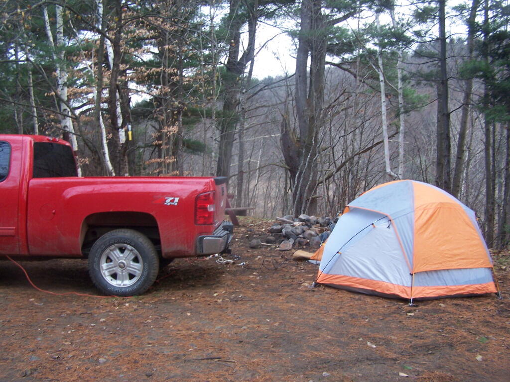
The past couple of years, I have gotten out camping either the last weekend of March, or the first or second weekend of April. Now it looks like I won’t be camping for a couple more weeks, waiting for my truck cap to be installed.
It’s really not a big deal, I guess. I can go tent camping during the weekend of April 12-15th, at least for part of the time if the weather cooperates. But I really want to go truck camping.
I’m hopeful that next week I can get my truck wired. Then at least I will have relaible power for the campsite, so I don’t have to worry about my starting battery going dead. But once I do my cap, I will be pretty much ready to travel and explore — that is once I get the “shoes” for the kayak to sit in.
But so be it. The summer is certainly not even underway, and not over. And with the new cap, the reliable electric system and 4×4 drive, I expect to be camping well into December this year.
The two longest back country roads in Adirondacks — Cedar River-Limekiln Lake Road and Piseco-Powley Road — are generally closed during mud season. Other dirt roads like Moose Club Way tend to be muddy, and their is a risk you’ll get stuck back there.
It’s always a good idea to bring extra weight in your truck bed, a come-a-long or whinch, and snow shovel. You might not be far from a blacktop road at these campsites, but that is no guarantee you won’t get stuck.
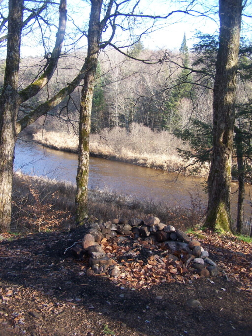
1) NY Route 8 / East Branch of Sacandaga River
The campsites are all off NY 8, an all season plowed and maintained asphalt road. Some sites are reinforced with gravel. Be aware some sites may be plowed full of snow from the winter clearing of NY 8. Roughly 15 campsites along this road, however some may be too muddy for this time of year.
2) South of Arietta Town Line on Piseco-Powley Road
There are 7 campsites along Piseco-Powley Road, north of Stratford, prior to the Arietta Town Line gate, which is near the Potholers on East Canada Creek. This road is well packed dirt, reinforced with gravel up to gate, and should be accessiable year round, minus the snow.
3) NY 421 at Horseshoe Lake
NY 421 is an asphalt road, and there are 4 campsites prior to the gates for Horseshoe Lake Road and Lows Lower Dam Road. These gates will be closed, but the sites along NY 421 before the asphalt runs out should be good as long the snow is off of NY 421..
4) Mountain Pond
Mountain Pond Campsites are on an old routing of NY 30. While now unplowed in the winter, the road is mostly hard asphalt, asphalt chips, and gravel. Many of the campsites are reinforced with gravel, but be careful with some of the sites.
5) First Campsite on Wolf Lake Road.
There is a campsite on Wolf Lake Road, right before the parking area and winter road gate for Wolf Lake Road Extension. This campsite is grass, however if it’s relatively dry, snow and mud free, this is possiblity.
6) Reeds Pond Campsite.
Before the black top runs out, there is a campsite along Reeds Pond, which is nice for it’s solitude, but nearness to a dirt road. The campsite may be muddy, depending on the conditions.
It’s warm weather once again. Crime is spiking through the roof, even coming to the comfortable suburbs that are widely viewed as being safe compared to living in cities like Albany. Today’s incident shocked the conscience of all residents in Bethlehem, after Margie Smith is alleged to have parked her car at a bus stop. The incident was first reported to the police by an anonymous tipster. A blue Toyota Sienna mini-van was seen parked, illegally, in a bus stop. Thanks to quick action by the local police, all five police cars responded to the scene and ensured no unsafe conditions beyond the illegally parked car where to break out.
Passengers who might normally have boarded the bus at this stop where directed by a combination force of the Bethlehem Police and CDTA supervisors. These people stood by to ensure if any passengers sought to board the bus that they would be directed to board the bus not at the curb-side but near the traffic lane. Thanks to the supervision of the CDTA, it was ensured that no bus passengers’ lives where put in risk by waiting closely by passing traffic. Many commuters may have been tied up for a number of minutes getting past this vehicular infraction scene. To compensate for this lost, CDTA President Ray Mellady is offering free one-day CDTA trip passes, that anybody effected by the incident may obtain by calling the CDTA central headquarters and explaining their situation. He also apologised for people’s inconvenience, and reminded people of the importance of obeying traffic laws.
Police told News 10 that Margie Smith was issued an appearance ticket to Bethlehem Town Court. In addition, her car was impounded waiting further analysis of tire track prints left near the bus stop. The Bethlehem Police Forensic Unit has fully investigated this traffic infraction, and has taken pictures detailing the illegal parking, including aerial photography. Pavement samples where taken for further analysis in the crime lab. D.A. P. David Soares has this to say about the traffic infraction, I am awful sorry that this had to happen. Yet, people where inconvenienced and lives where put at risk by the choice of illegal parking by Ms. Smith. Other politicians, including Bethlehem residents Assemblyman Tim Gordon and Senator Neil Breslin also stated their shock over this callous incident of illegal and dangerous parking.
Ms. Smith referred all questions on this alleged crime to her lawyer, Mr. Terry Kindlon. He described the incident as little more then a careless mistake caused by a quick run to the coffee shop to purchase a cup off coffee. He also questioned the legality of the law, noting that the signs did not mention no parking, but only No Stopping Except Buses. Ms. Smith did not stop her car here to let out passengers, she only parked it. A hearing over this parking ticket is set to occur on Wednesday. The maximum penalty Ms. Smith faces is a $40 fine for parking in a bus stop. It is widely believed that this fine will be reduced and that Ms. Smith will plea to a reduced charge rather then be convicted of illegal parking in a bus stop.