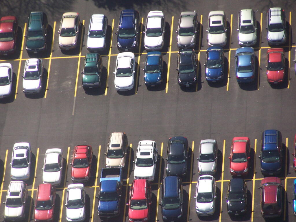
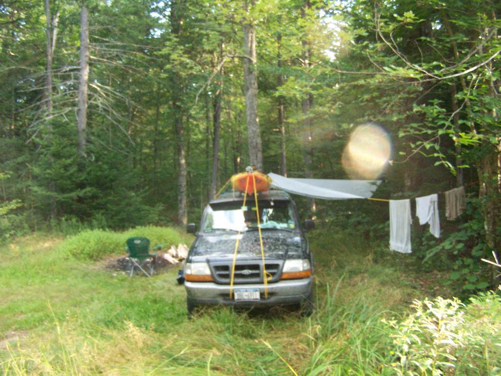
For many years I have worked downtown and ridden the bus downtown most days. Some days when I have to work late or are planning on heading out of town I drive downtown to work. It’s not a particularly common thing, maybe two or three times a month.
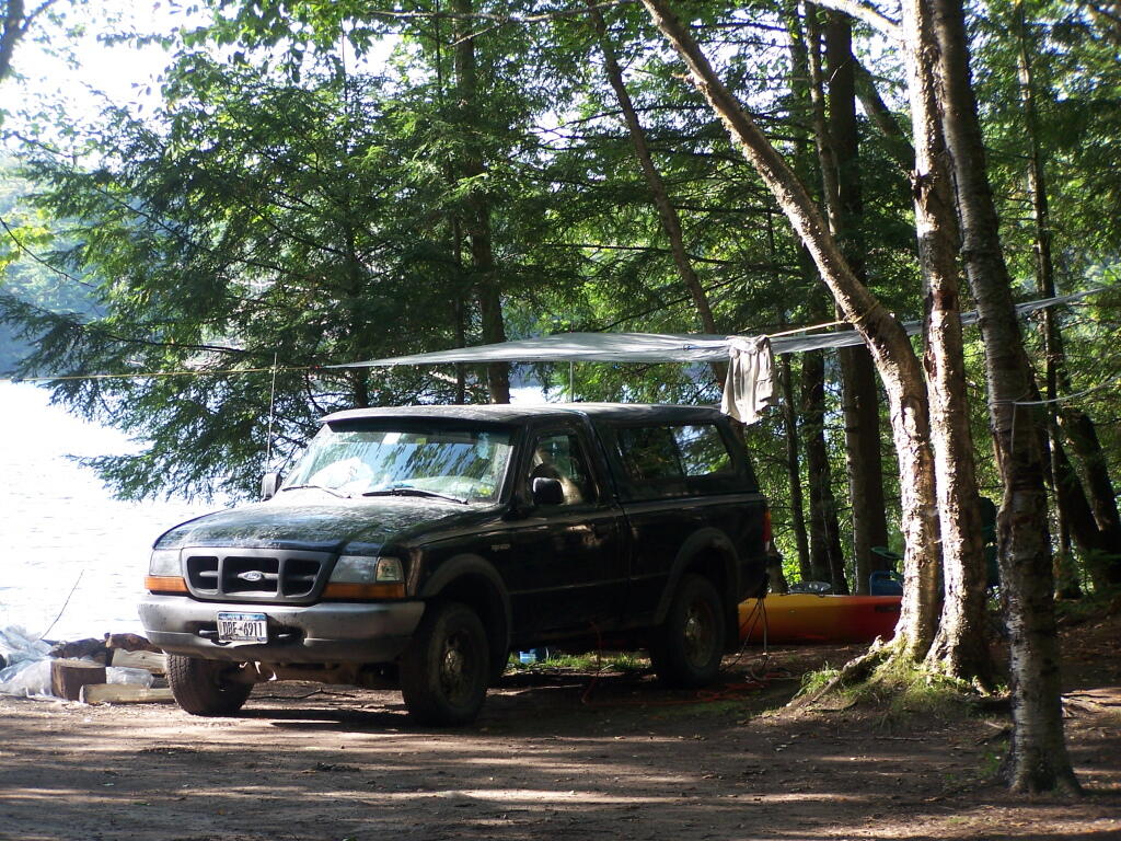
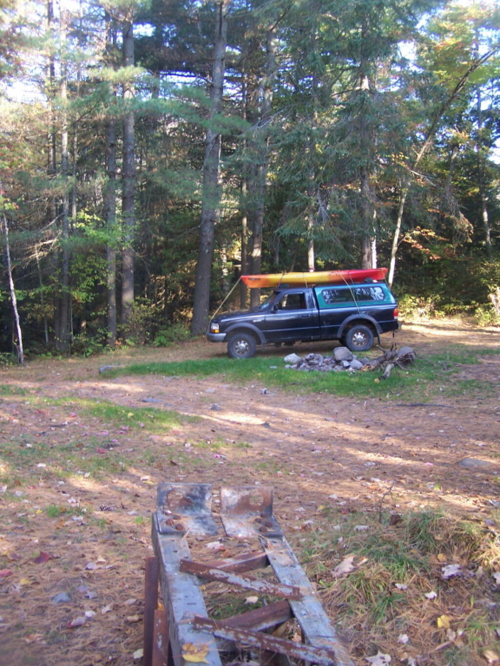
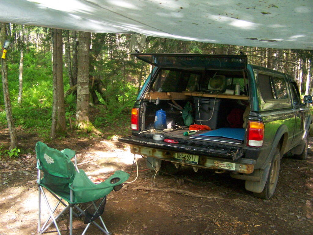
I used to park on the street, but now I park in an Albany Parking Authority lot. Why park in a lot, when one can park on the street? Simple: I don’t want my new truck, “Big Red”, to get hit or damaged, and I figure the back corner of a parking lot is a lot safer. Big Red is also a bitch to park on the street, being so long, even though I am pretty talented at parallel parking it.
It also is a powerful discouragement against car commuting. Somehow it’s more difficult to visualize $4 one burns driving in and out of work, or the wear and tear it means to your car, compared to paying the $3 for the parking lot — a top of the gas and wear and tear.
It makes me pause and think, do I really need to drive into the city? Can avoid it, and all of the pain of driving in the city. I really don’t like the kind of driving that involves stop lights and traffic. I have much to short of a fuse to enjoy such an activity. But so be it.
So at the end of day, I don’t really mind pay for parking, the few times I actually drive downtown. It just another good reminder that driving into the city rarely pays or is necessary with public transit..
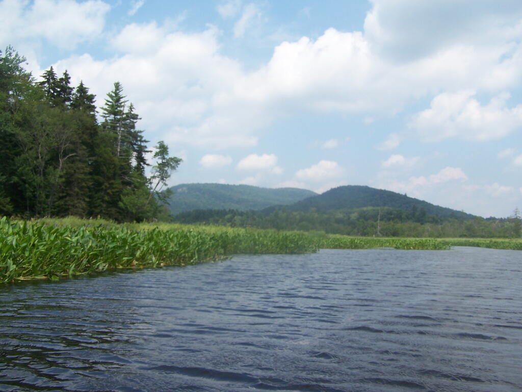
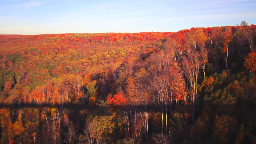
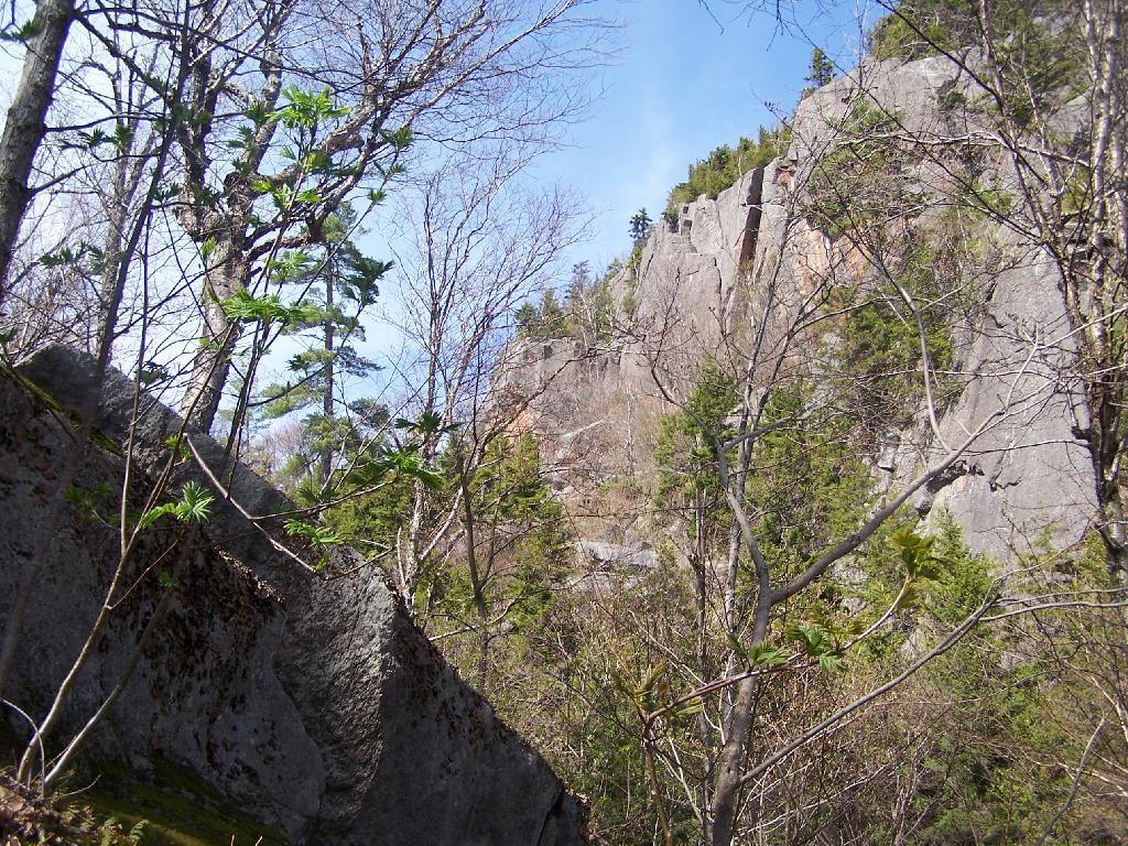
In the Adirondack Park there is a Bad Luck Mountain and Bad Luck Pond, along with a Good Luck Mountain and Good Luck Cliffs. I have only been to later, but maybe sometime I will get a chance to visit the much more remote Bad Luck Pond as described by CNY Hiking.
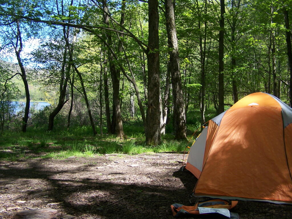
If you are not feeling particularly lucky, consider visiting Big Bad Luck Pond, off of NY 28, roughly halfway between Northville and Indian Lake. It’s a little too far to carry a kayak back into, but it is a 3 mile hike from the trailhead to the pond, passing over the col of Bell Mountain, and several other small ponds. There are some designated campsites near the lake, and it’s below Bad Luck Mountain.
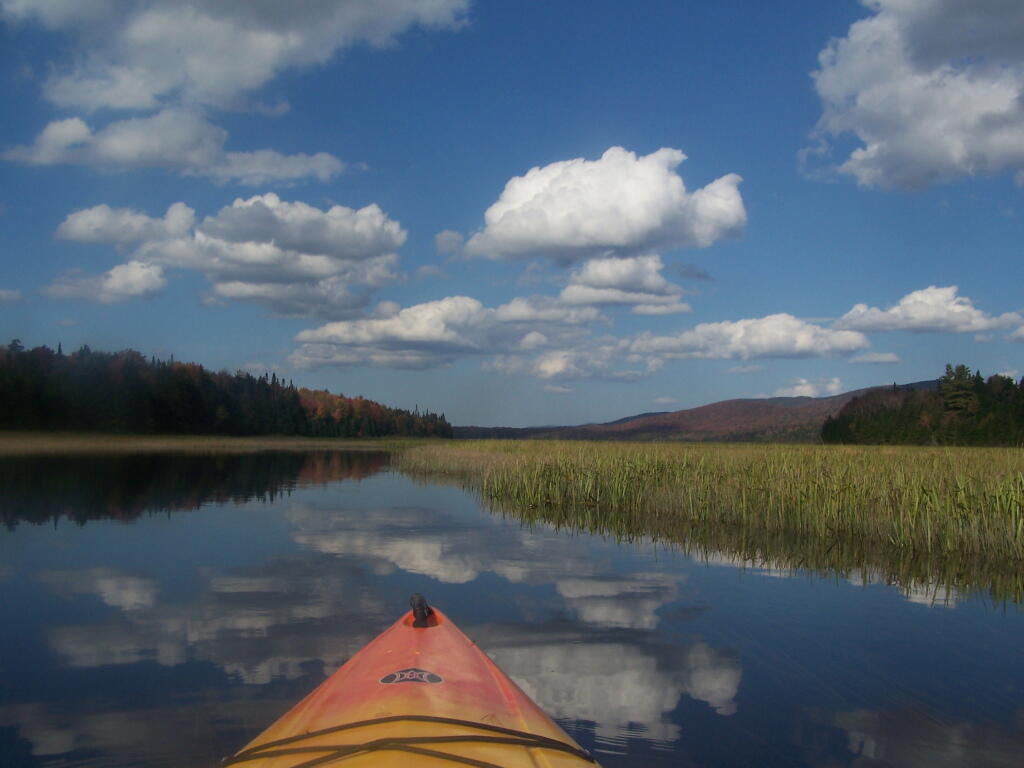
Alternatively, if your feeling lucky, consider visiting Good Luck Lake. Located north of Caroga Lake on NY 10, there are 12 paddle-in or hike-to campsites along the lake, which is located below Good Luck Mountain. It is a delightful paddle on in, but if you go, make sure to visit Good Luck Cliffs and Good Luck Mountain above it.
That’s an interesting thought. The United States Senate has two senators for each state, while the US House is propotionally represented. While an urban state like New York State recieves 29 representives, we only get two senators, a rural state like Vermont recieves only 1 representive and 2 senators.
In theory, that would mean a rural state like Vermont, Wyoming, North Dakota, or even Iowa would have have a disproptionate impact on the legislation through the US Senate. While it’s true that such states have more of a voice in the US Senate, it’s not clear rural residents get more representation in the US Senate.
Why not? For one thing, US Senate districts are larger. Much larger, typically covering whole states. The problem is that by representing complete states, every senator represents both urban and rural areas, and in most states, urban populations outnumber rural portions of states.
If any thing, urban consituencies have more power in the US Senate then the US House. There are representives in US House Districts that are predominately rural, in contrast to even rural states, where population is dominated by urban centers — such as Burlington, Vermont.
This table is based on the data in the Catskill State Land Master Plan. I believe most of these sites are tent or lean-to sites, some fairly far back in.
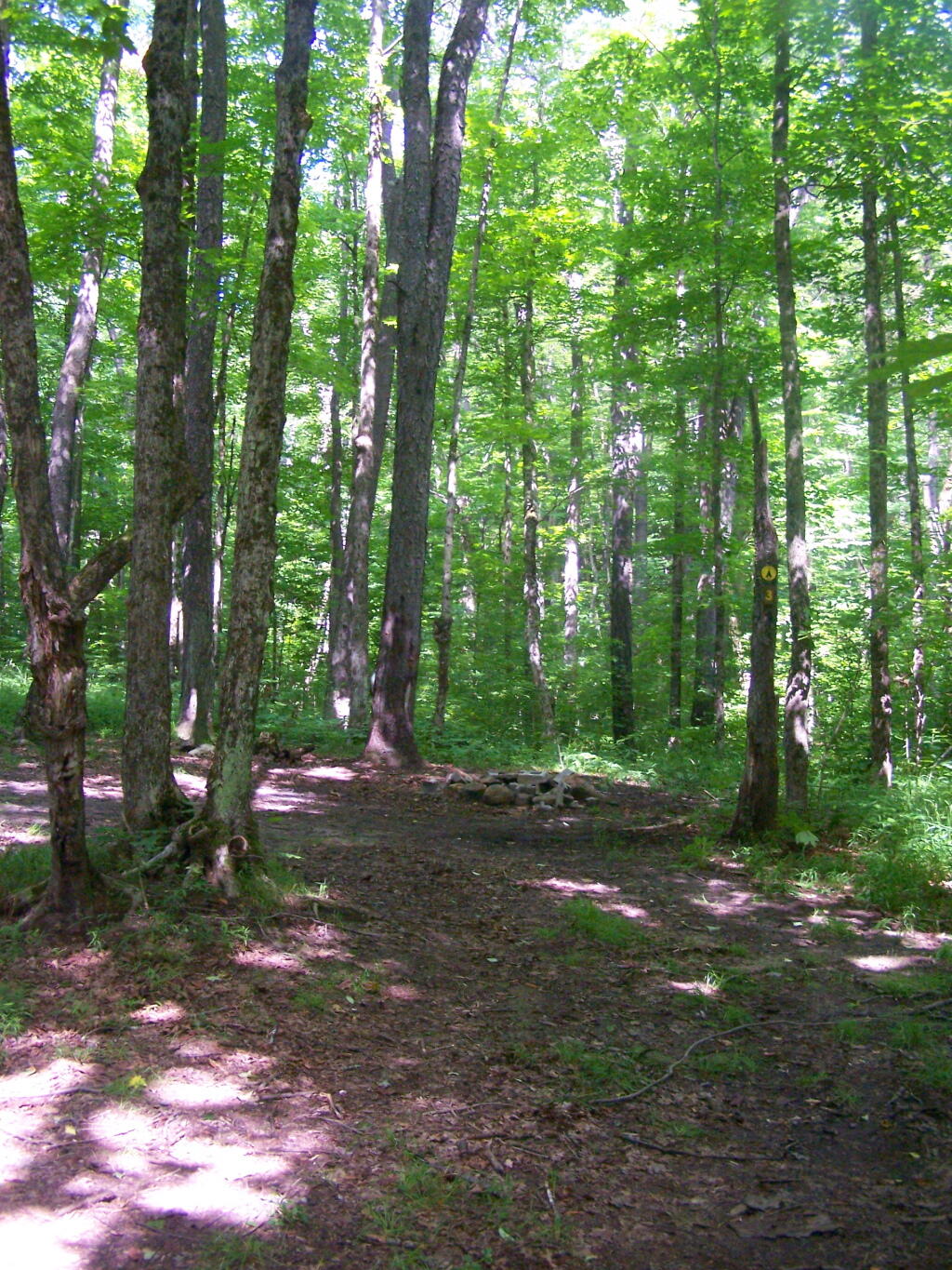
Horsehoe Lake has several campsites along, as does the dirt road beyond it for a ways.
The best roadside campsites go fast on the lake, but you can always camp on the less desirable campsites, then check out Bog River Flow, and tent camp up there.
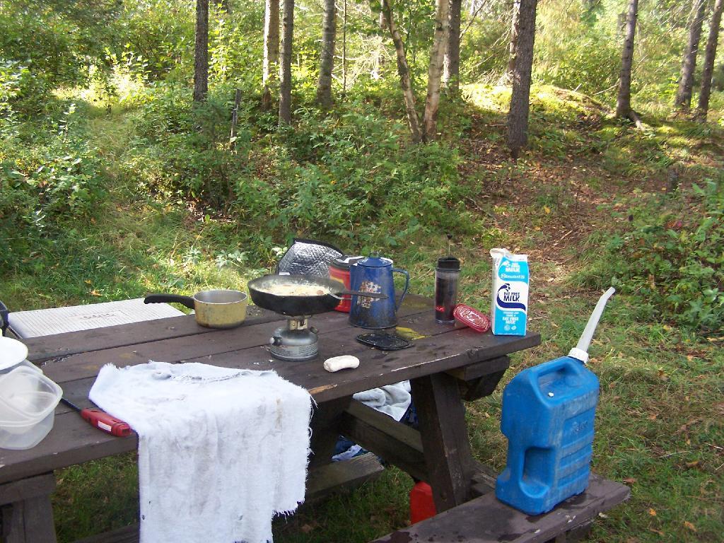
I have been thinking a lot lately about the High Gas Prices and what they mean for summer plans. I typically enjoy traveling by doing roadside camping in the Adirondack Park and other public lands, so one of the biggest costs in my experiences is gasoline.
I knew gas prices might be high when I bought my truck by spring time. They often are highest around election time, only to fall back down to lower levels after election season. This summer is no exception.
So I was thinking about what this all means…
1) Planning longer trips and fewer shorter trips. A lot of the gas is consumed driving back and forth to destination. Far less gasoline is consumed when one is at their destination.
2) Chose to spend longer time in one destination. Usually when I am on vacation I tend to rush to one place to another, consuming a lot of gasoline.driving from one place to another in the Adirondacks or wherever I may be. Why not pick a campsite, and spend more time enjoying the immediate landscape?
3) Avoid idling as much as possible. Hopefully with the deep cycle battery on my pickup, I will be able to keep idling to generate electricity for camping to a minimum.
4) Consider campsites that have as much nearby as possible to do. Possibly choosing campsites near a lake for paddling — like the Wakley Dam Campsites at Cedar River Flow or any of the campsites along North Lake in Adirondacks.
5) Realize that gas costs really haven’t gone up that much from last year. While gas may cost an additional buck an gallon, that still only means an additional $20-$30 per trip, if the plan is drive between 400-600 miles for vacation. If your already spending $60-90 for your trip on gas, what difference is between that and $80-$120. More money, but if your having fun, so be it.
6) Not Skipping Things on Trips Because of Gas Costs. In my view it’s pretty stupid to not spend an additional $10 in gas, if have already burned through $40 in gas to get to your destination. If there is something worth seeing, you got to do it.
7) Finally, just not worry about it. If I am on vacation, just put the gas on the credit card. I will worry about paying it down when I get back home. Things are going to cost what they cost, and I don’t really care much one way or another.
The other night, I was an event when the speaker lamented the modern era with all it’s problems and how much fun they had in the “innocent” 1960s. My thought was that’s pretty darn unfair.
Why shouldn’t we — the young — be able to have some fun like they had in “olden” days, and wait to be ultra-conservative and have no fun like the old folks?