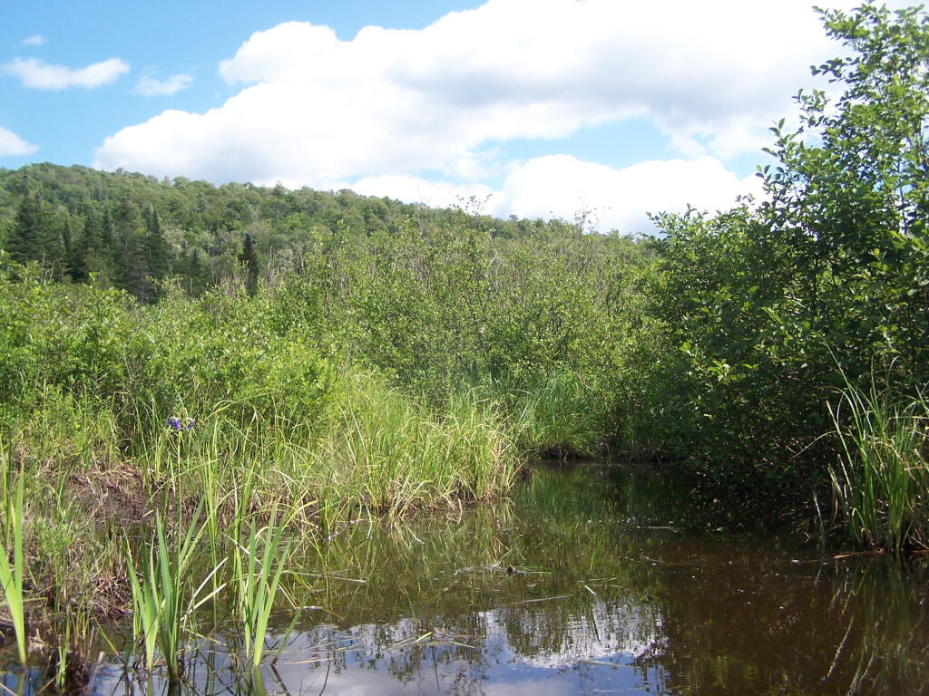
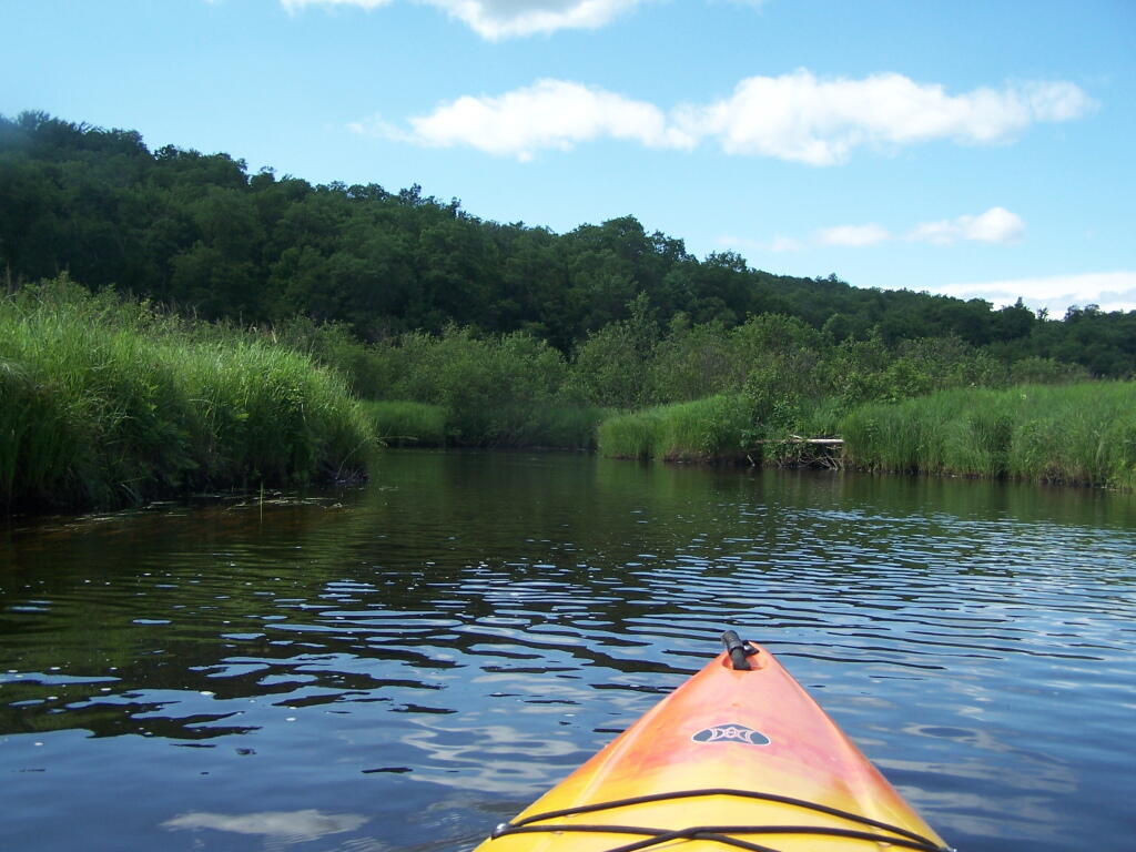
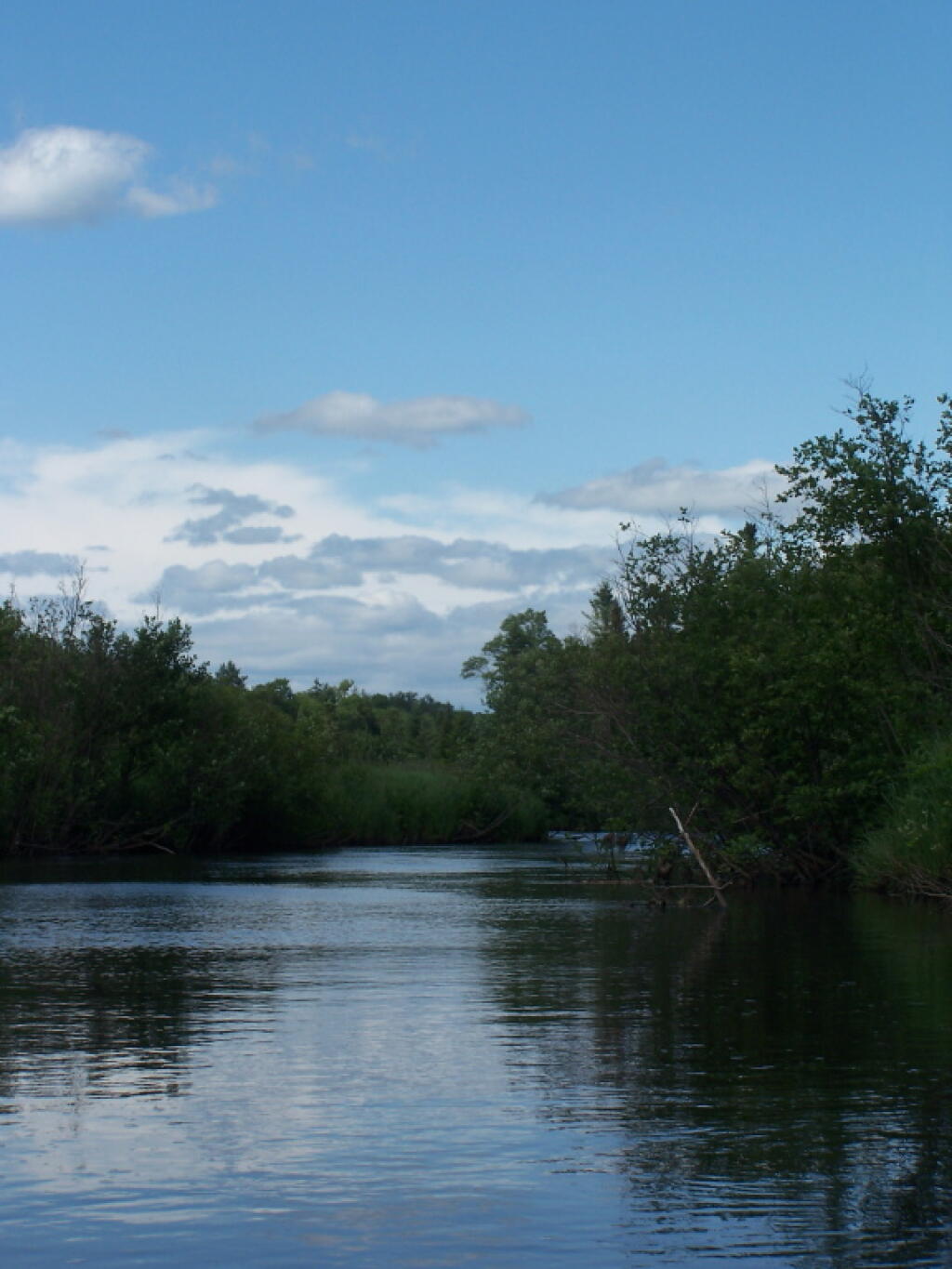
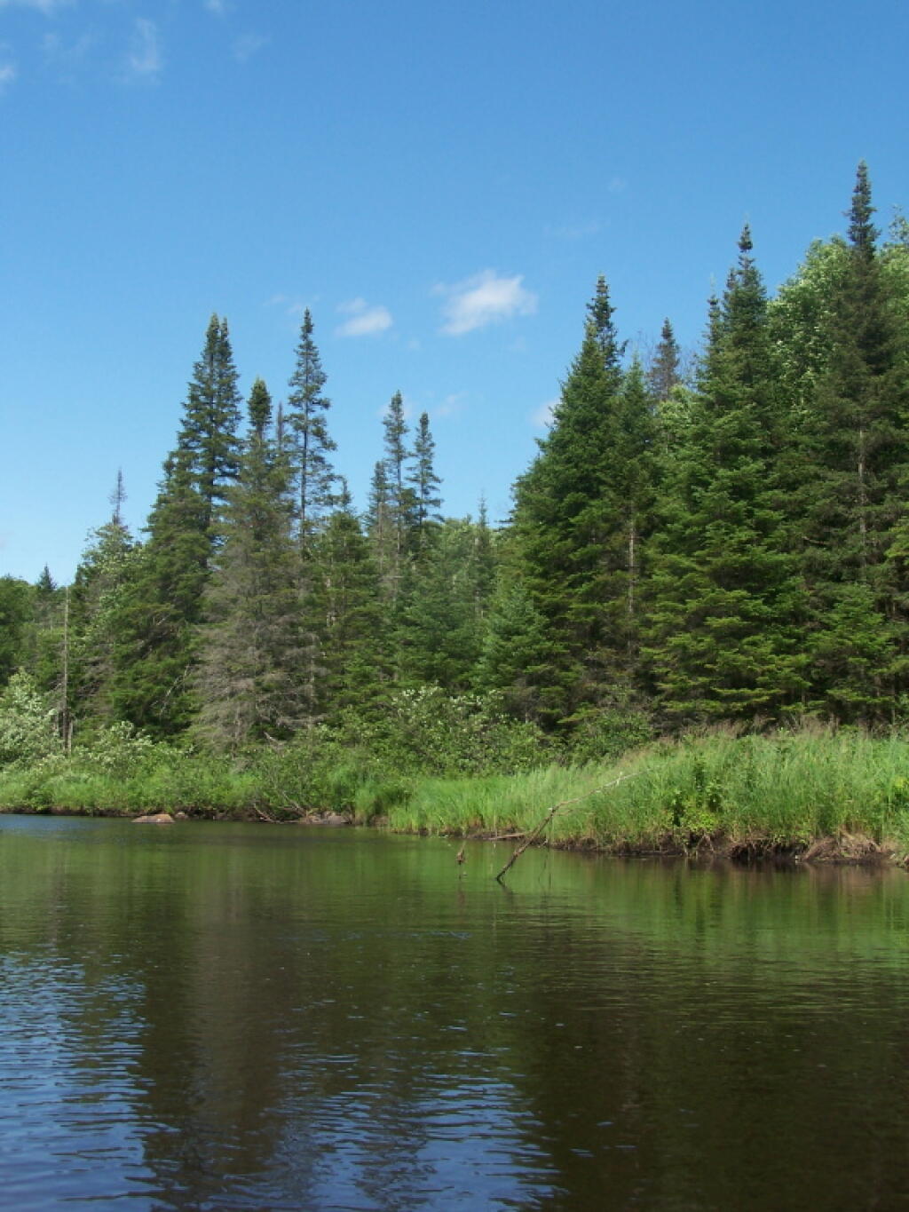
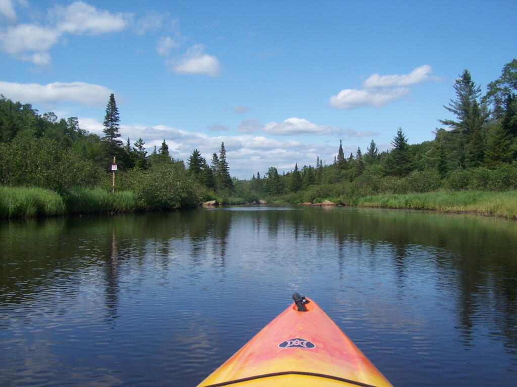
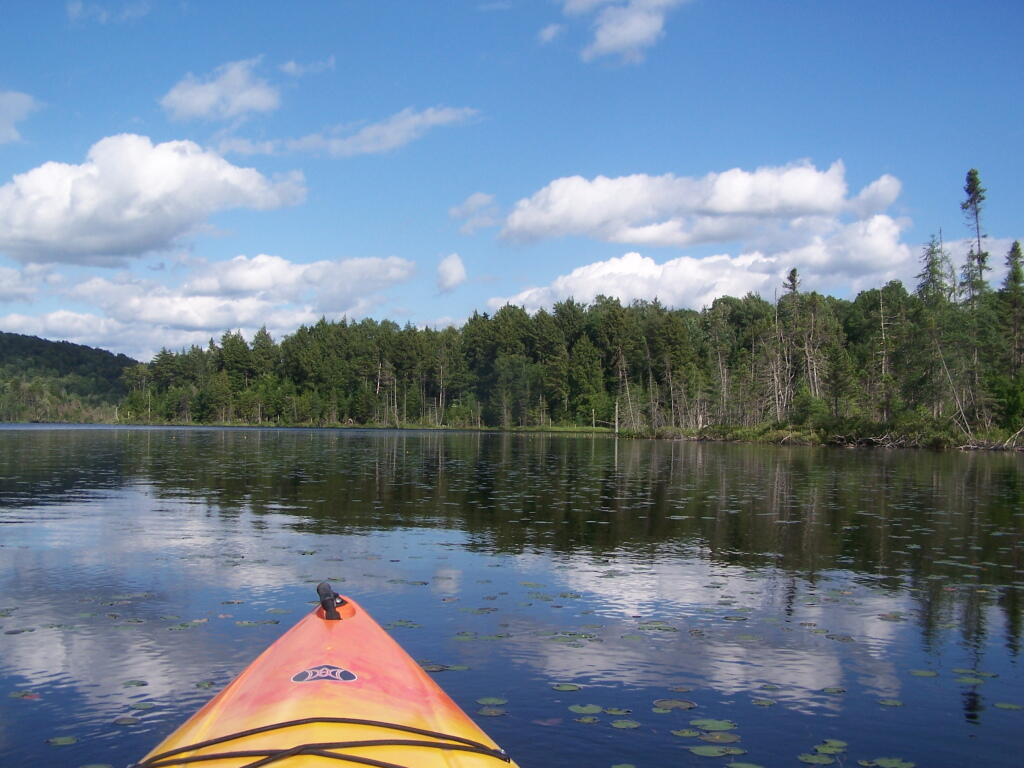
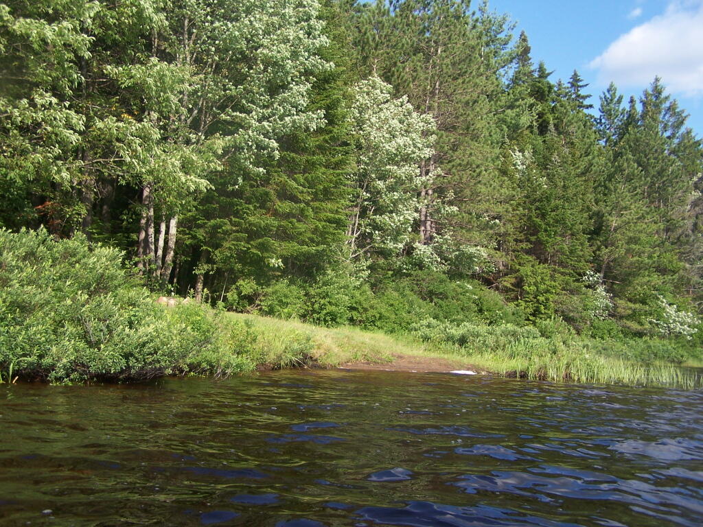
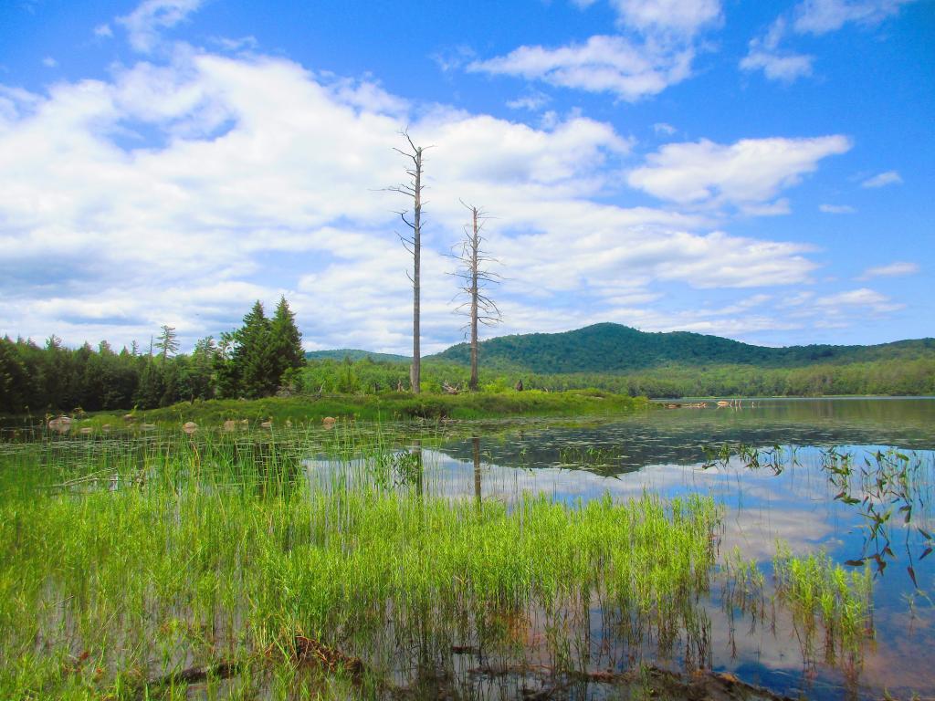
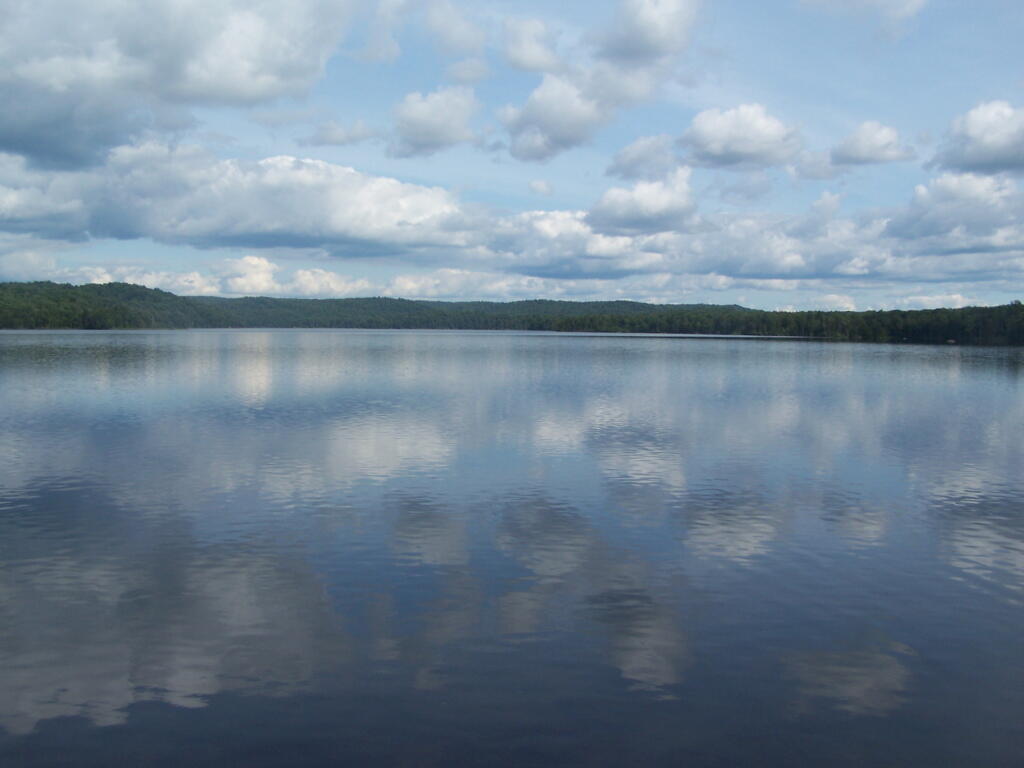
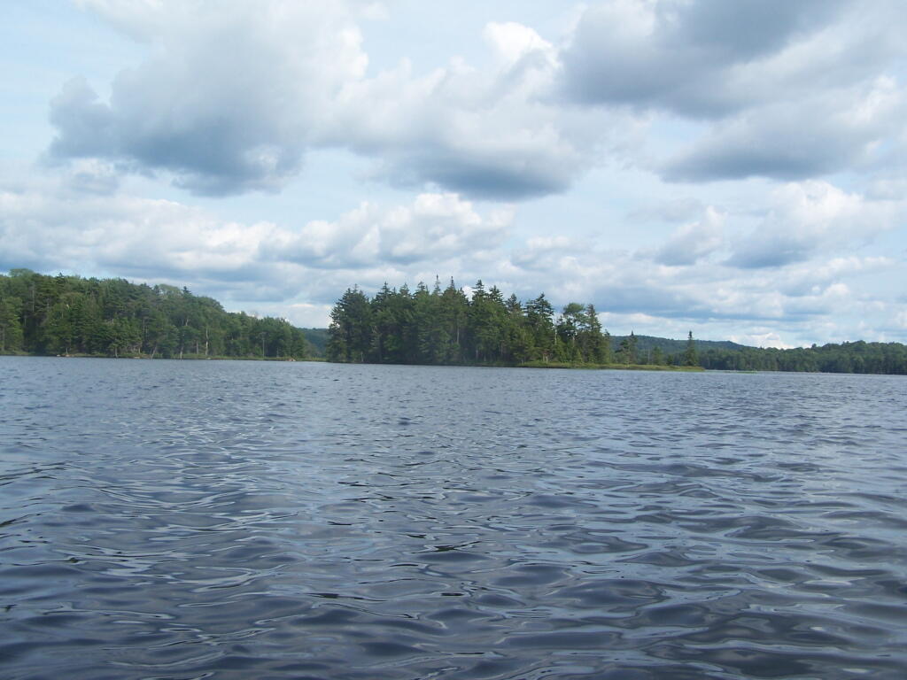
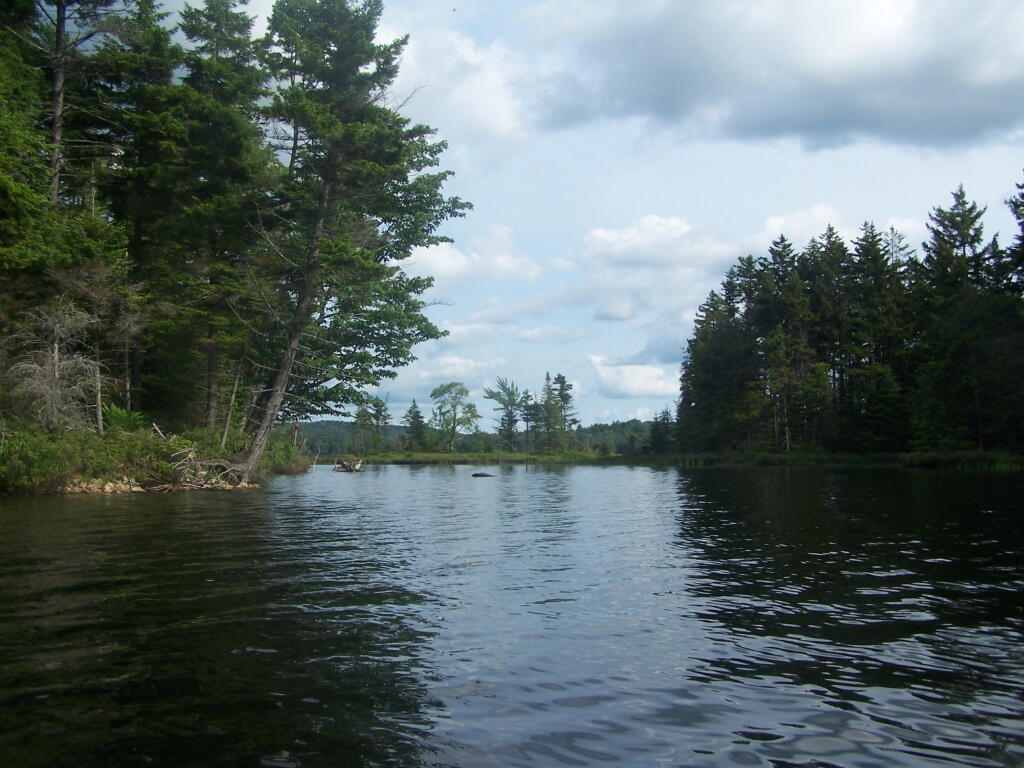
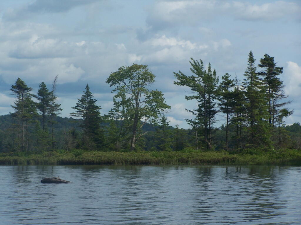
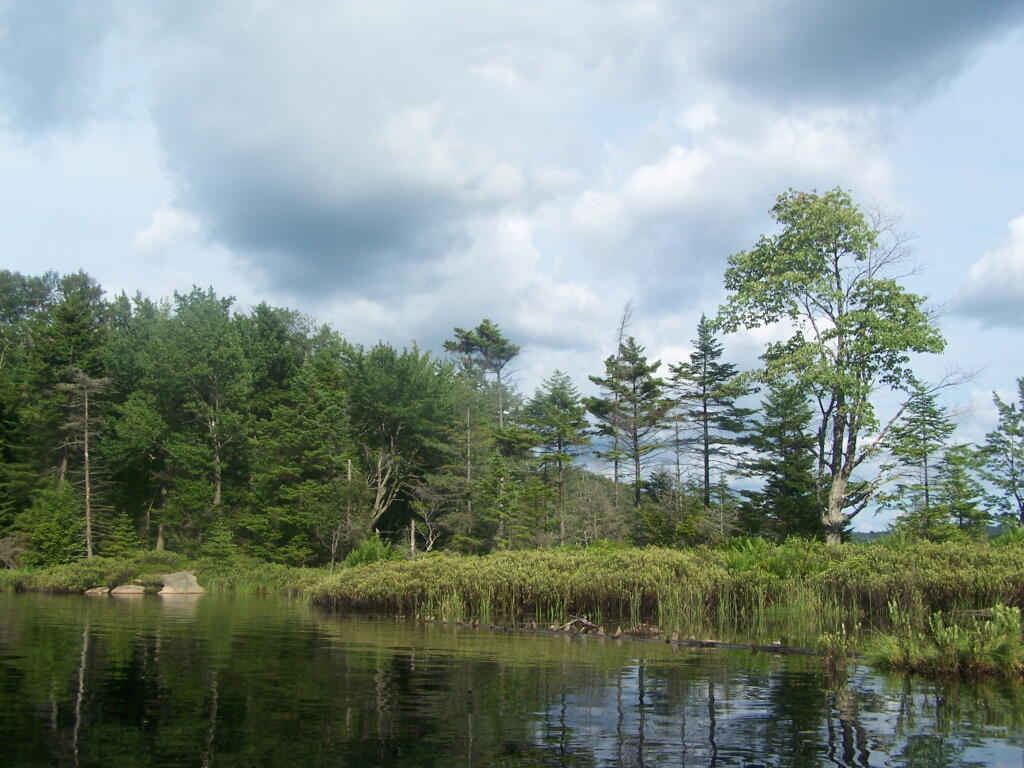
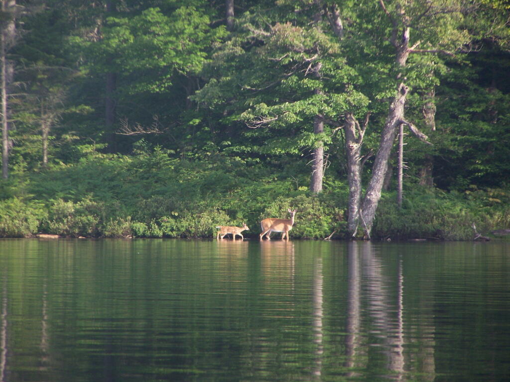
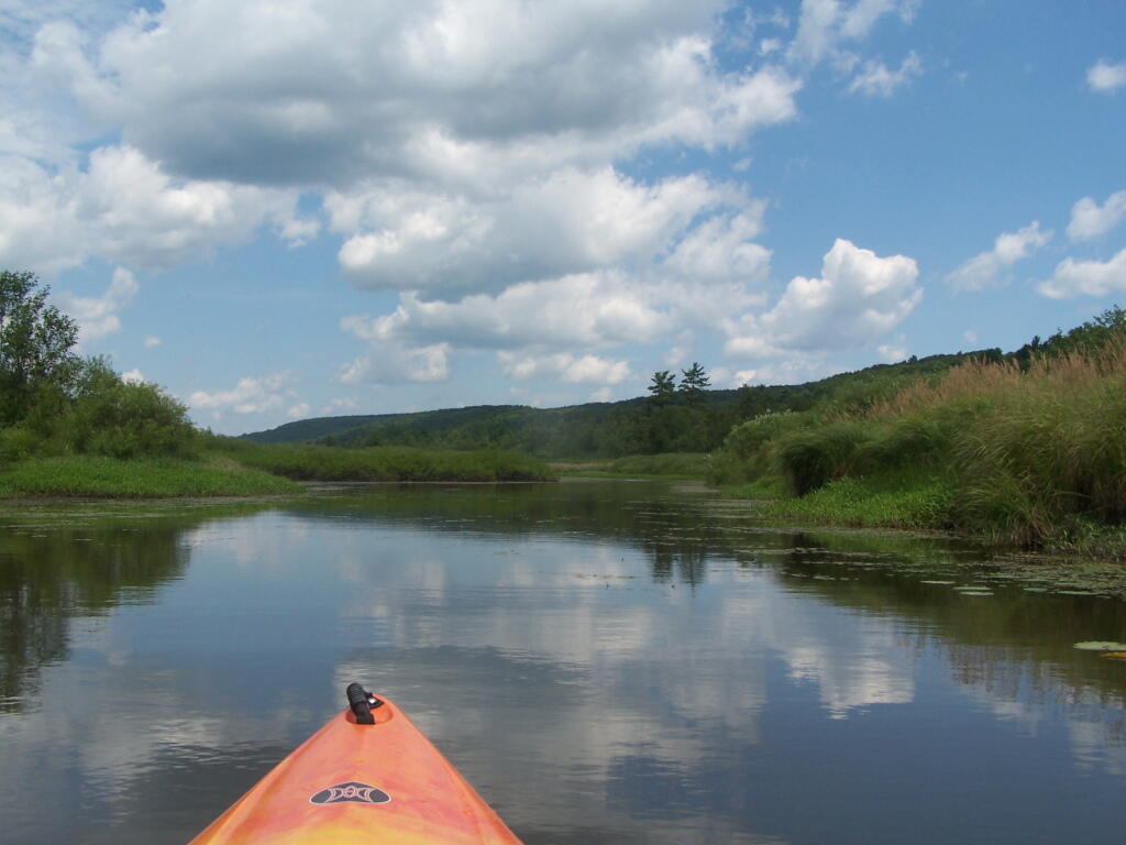
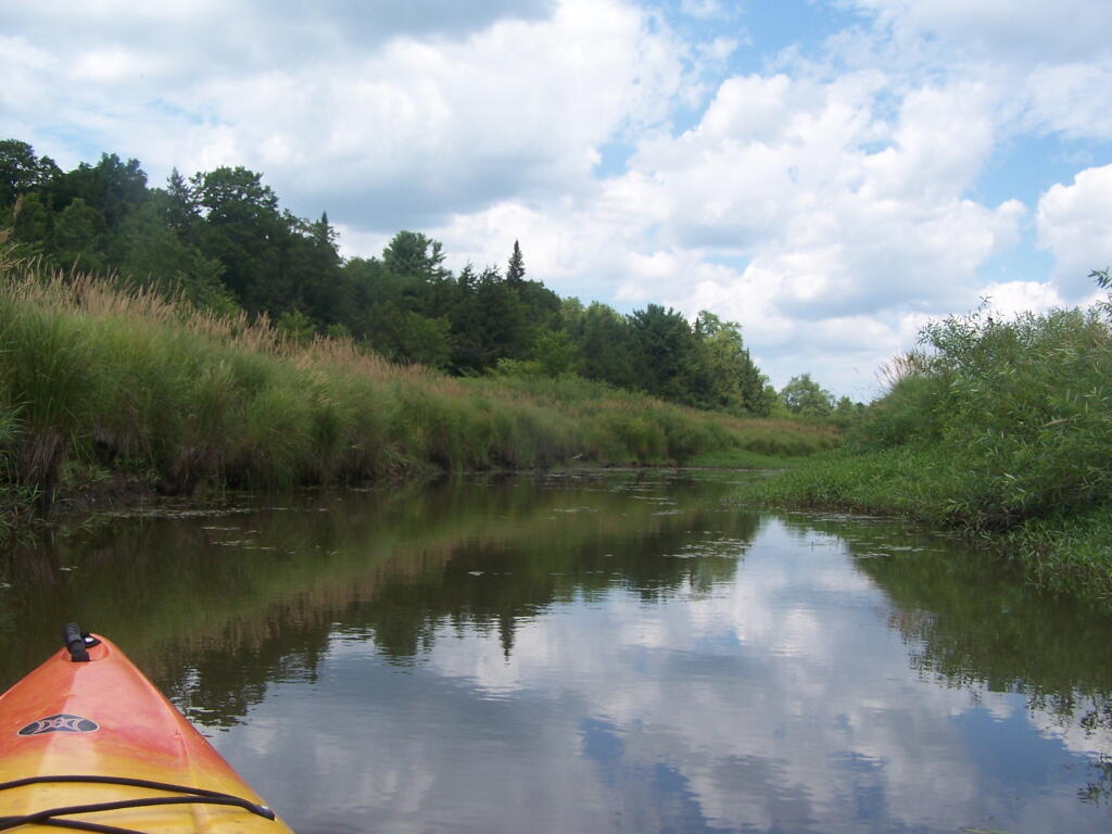
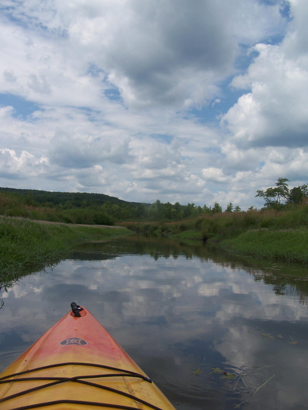
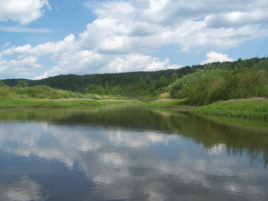
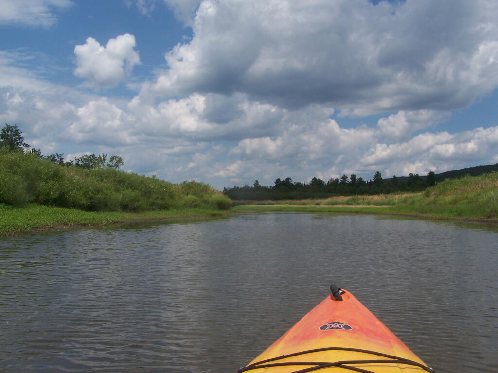
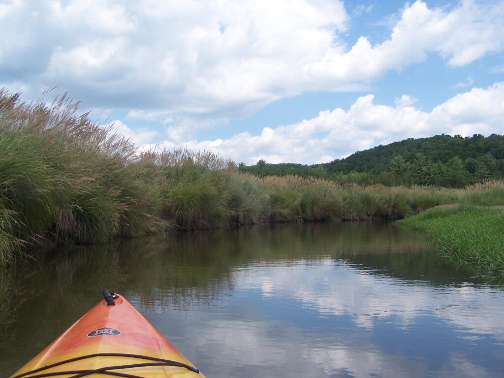
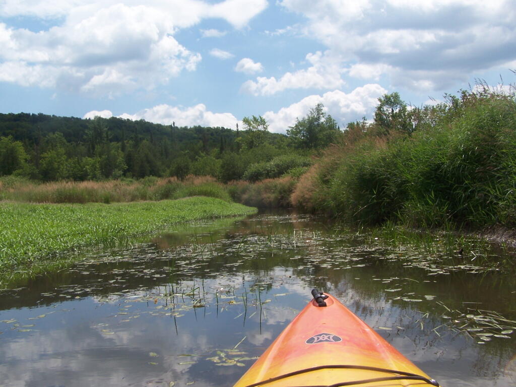
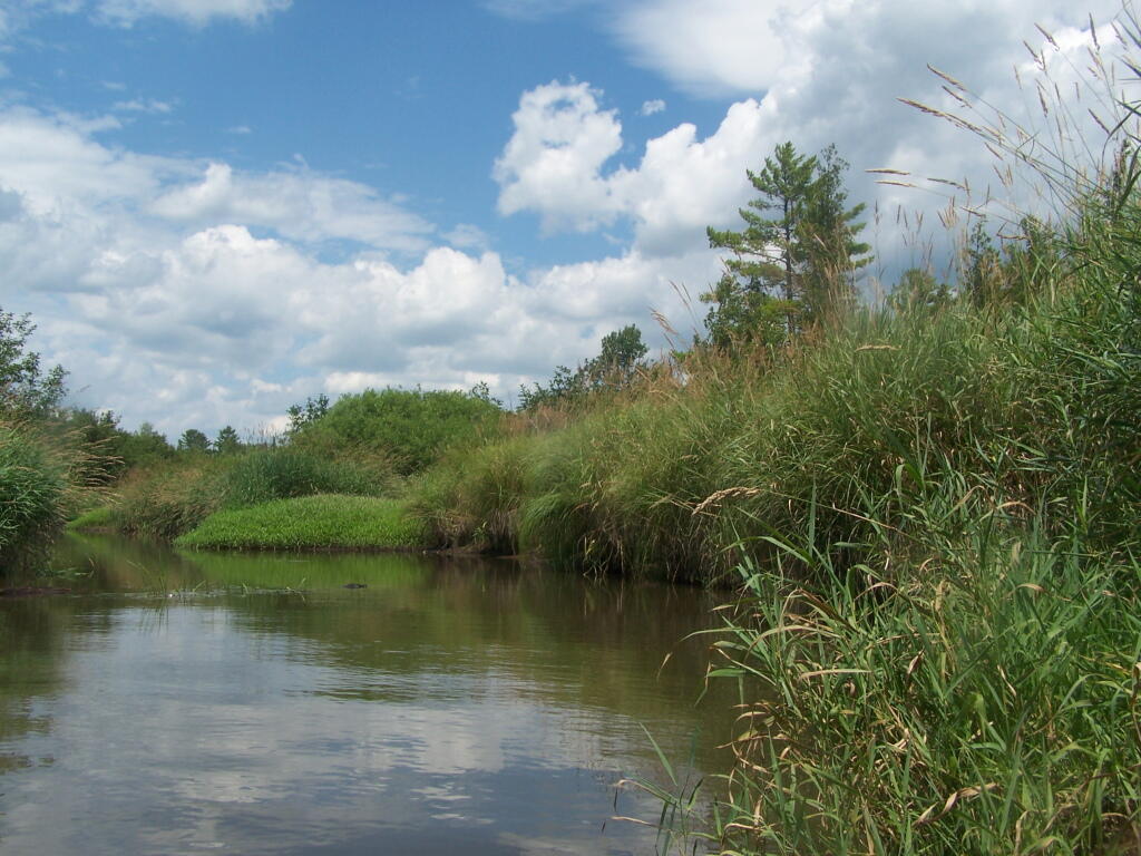
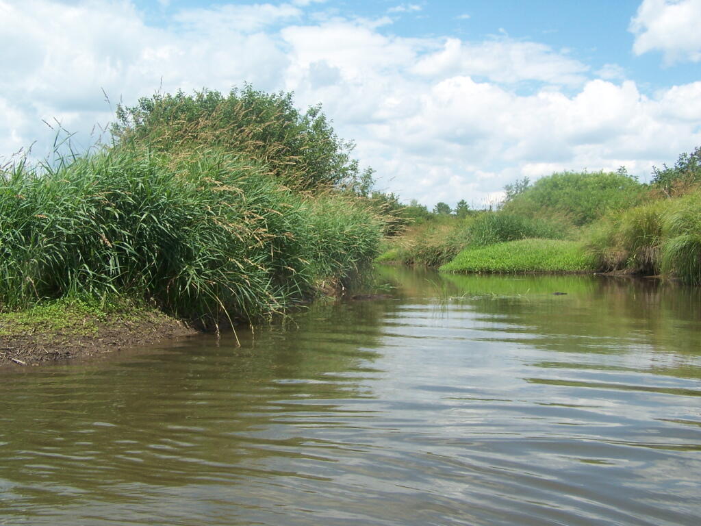
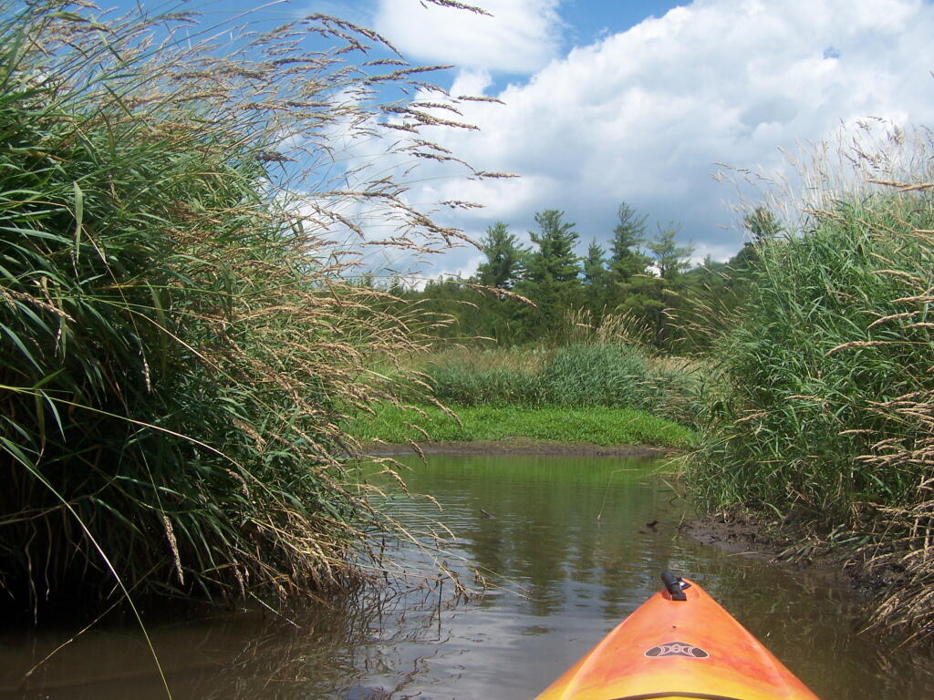
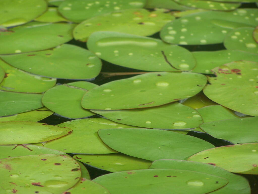
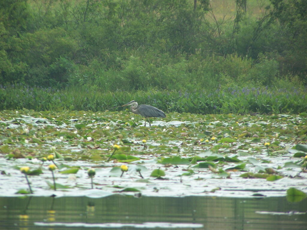
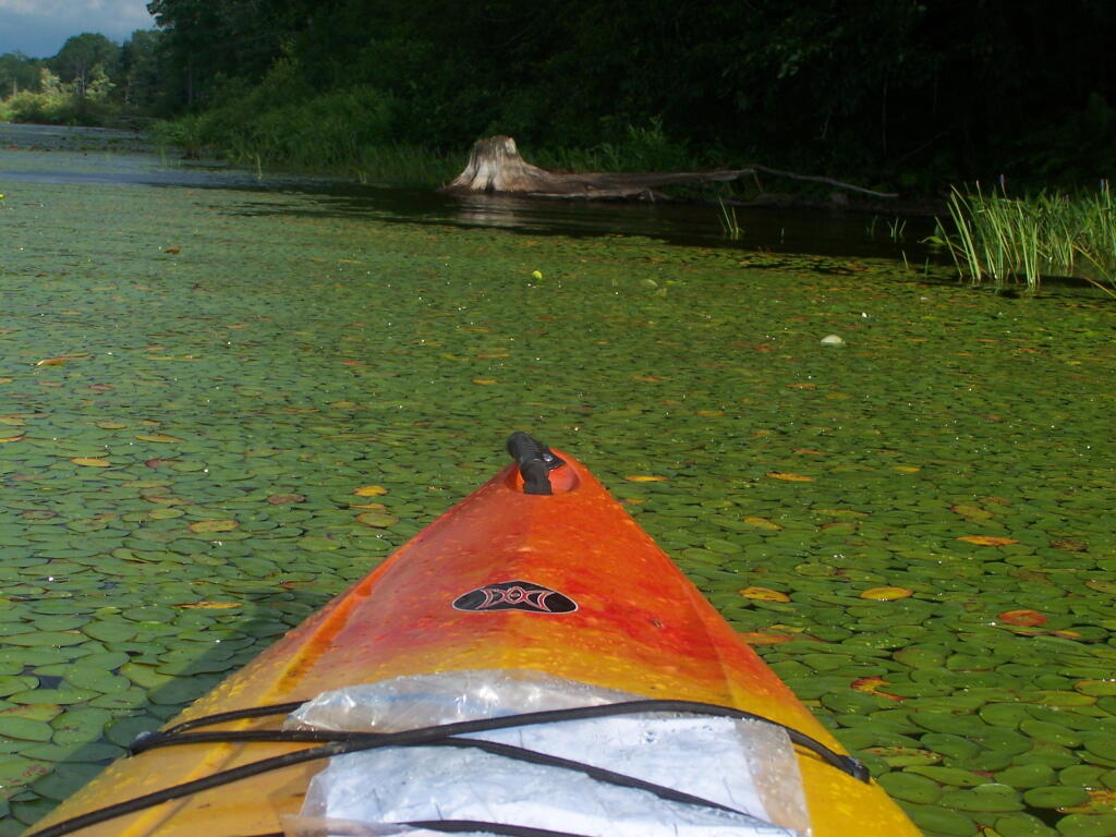
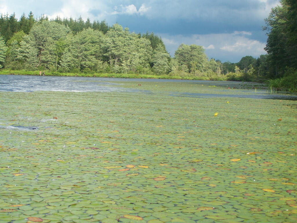
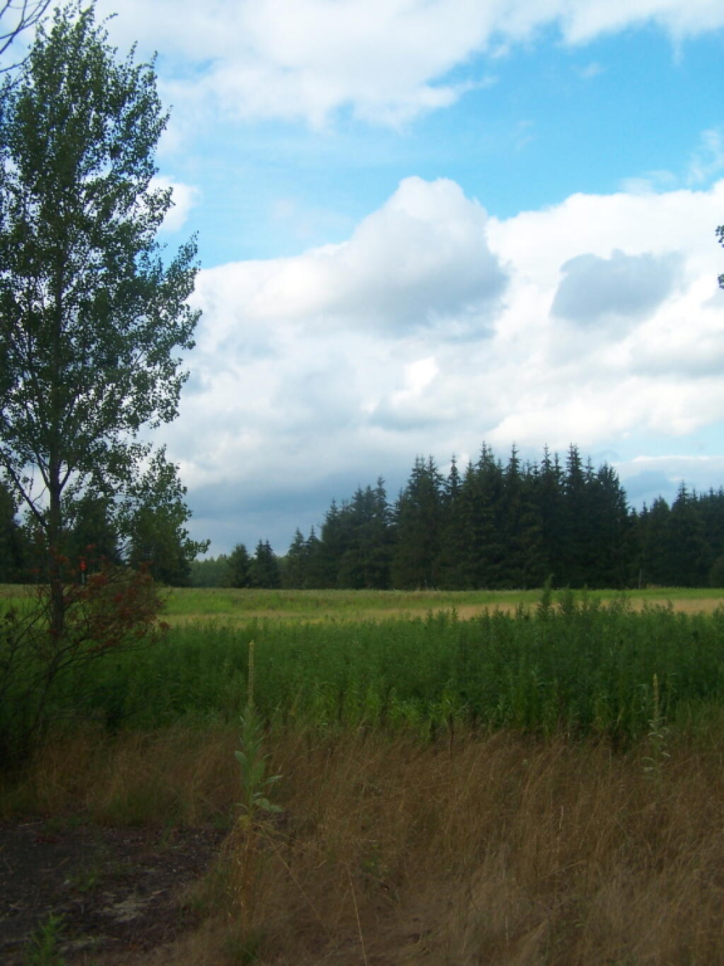
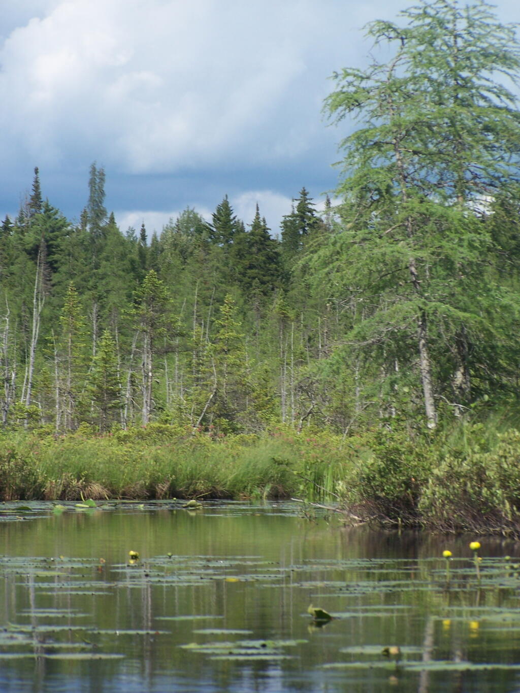
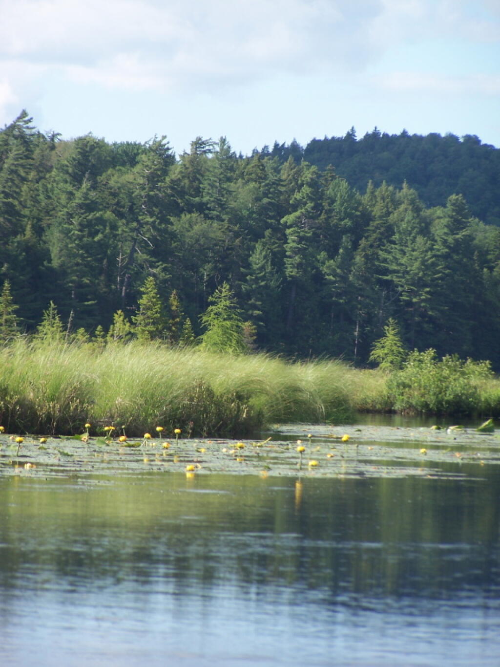
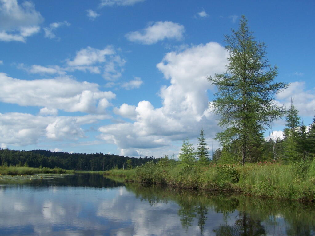
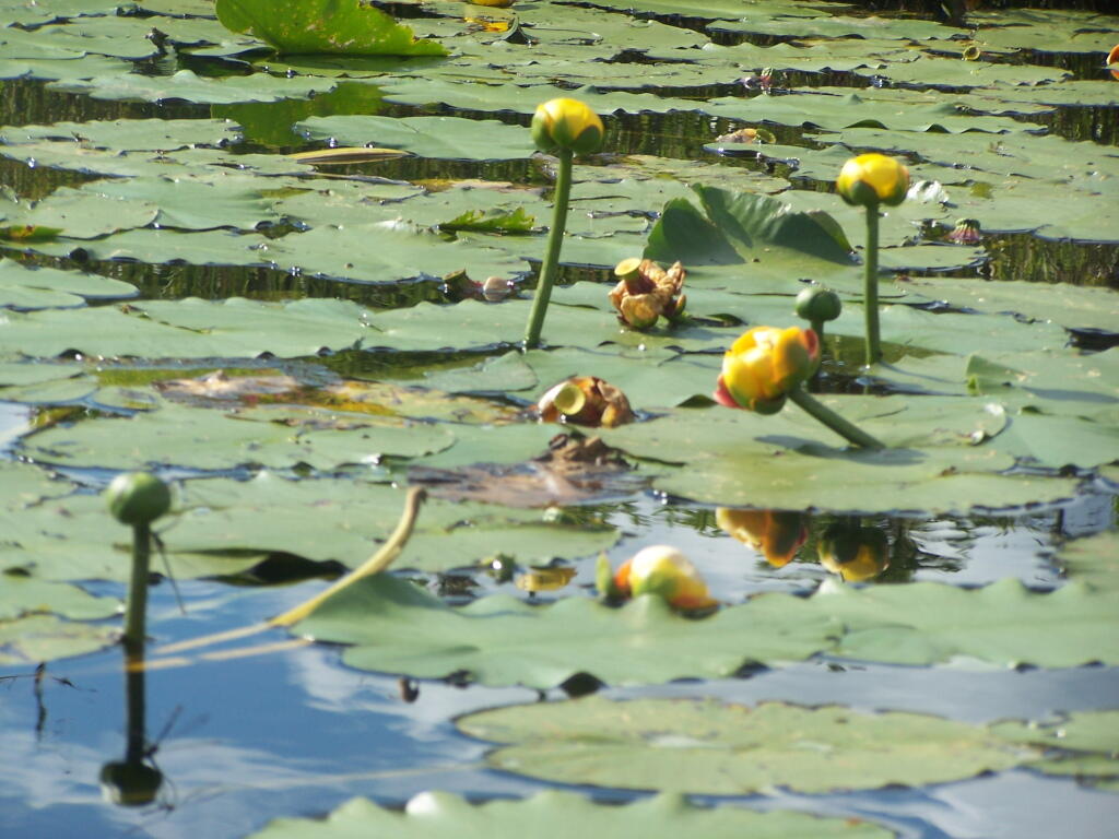
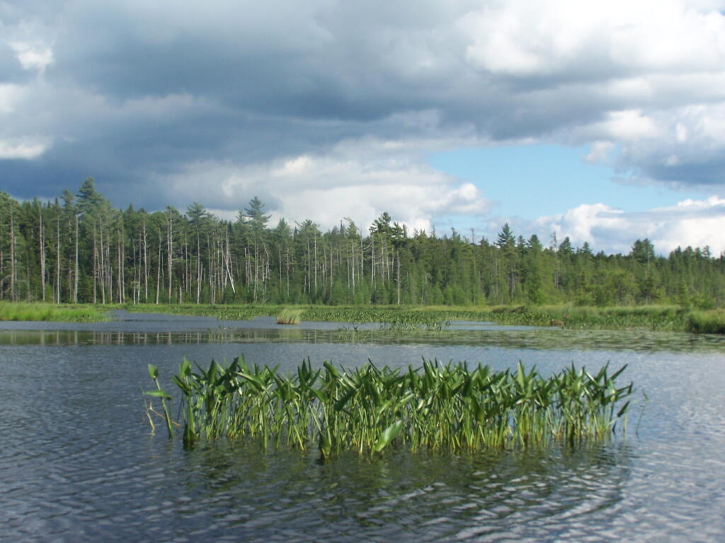
Where is a quiet place to kayak near Cedar Ridge and the Brookfield Horse Camp? Have you ever thought about kayaking the Beaver Creek, from Horse Trail 60 north until the end of the navigable waters?
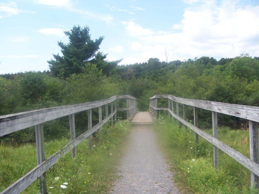
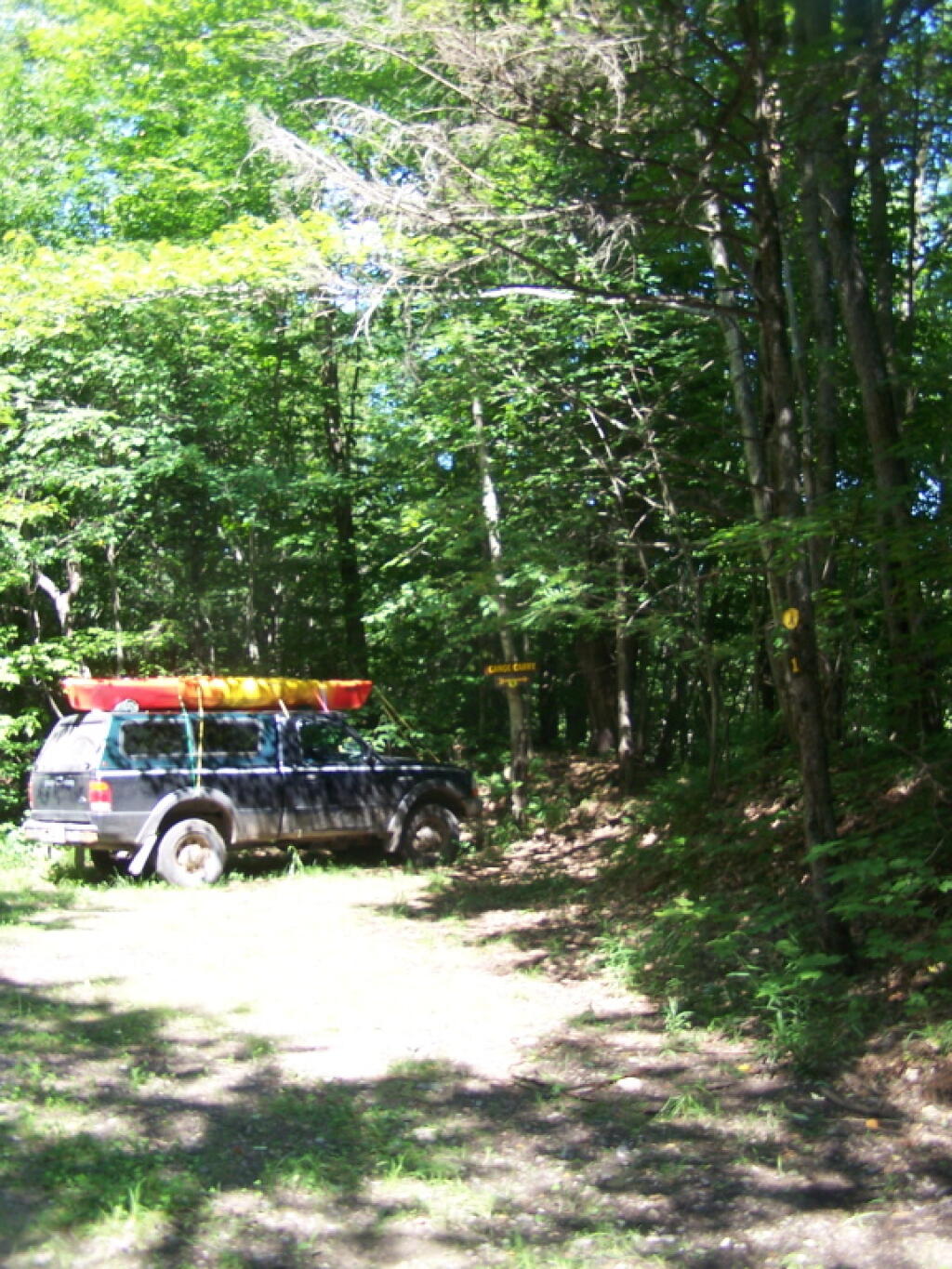
You take Fairgrounds Road north from Brookfield NY, until a first parking area on the left of the road. This is Horse Trail 60. It’s a short portage (1/8 mile) until you reach the bridge crossing the Beaver Creek.
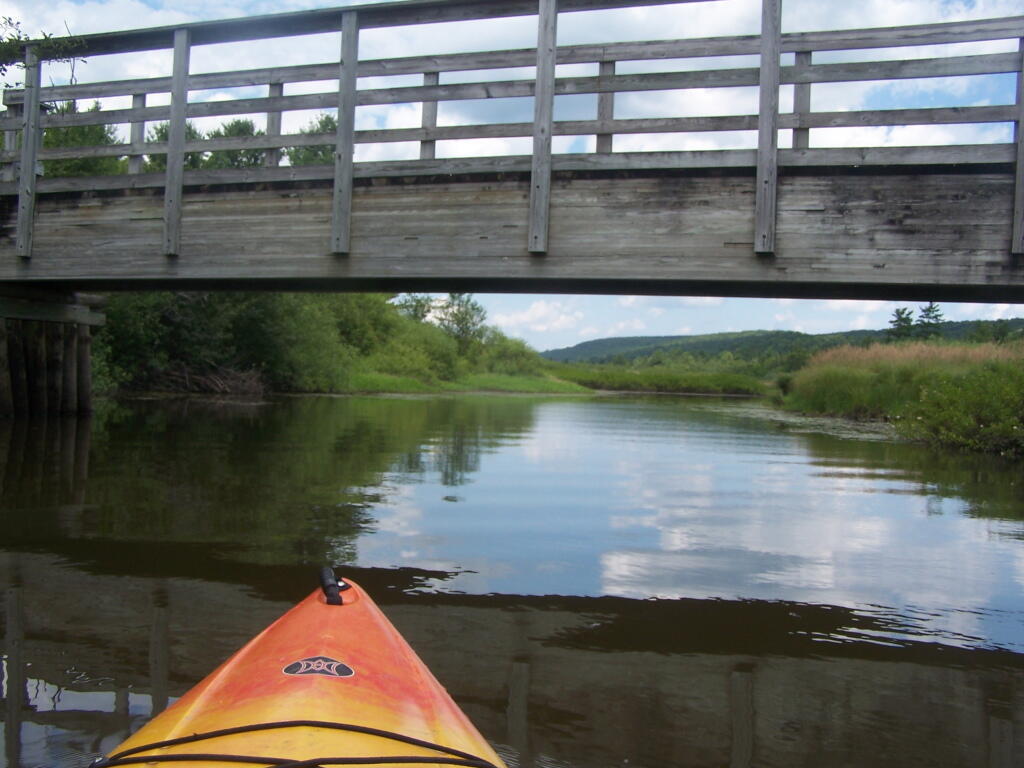
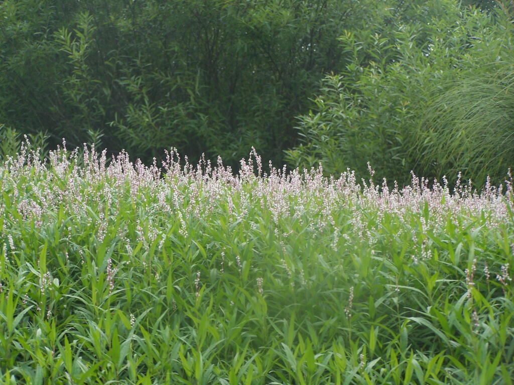
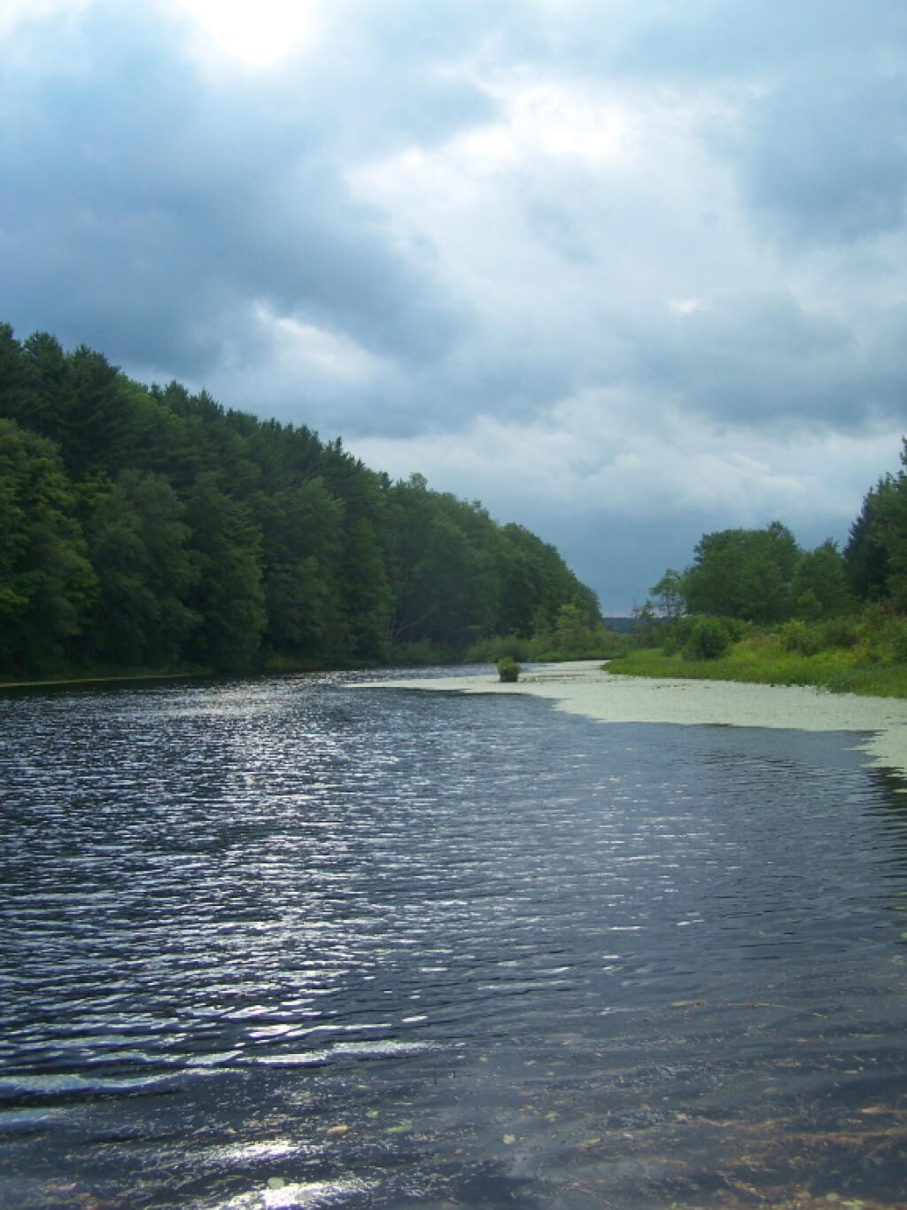
Put in the on the side of this bridge. I did from the east side, through the marshy ground, but you could portage over the horse bridge, then put on the west side, and avoid the marshy ground.
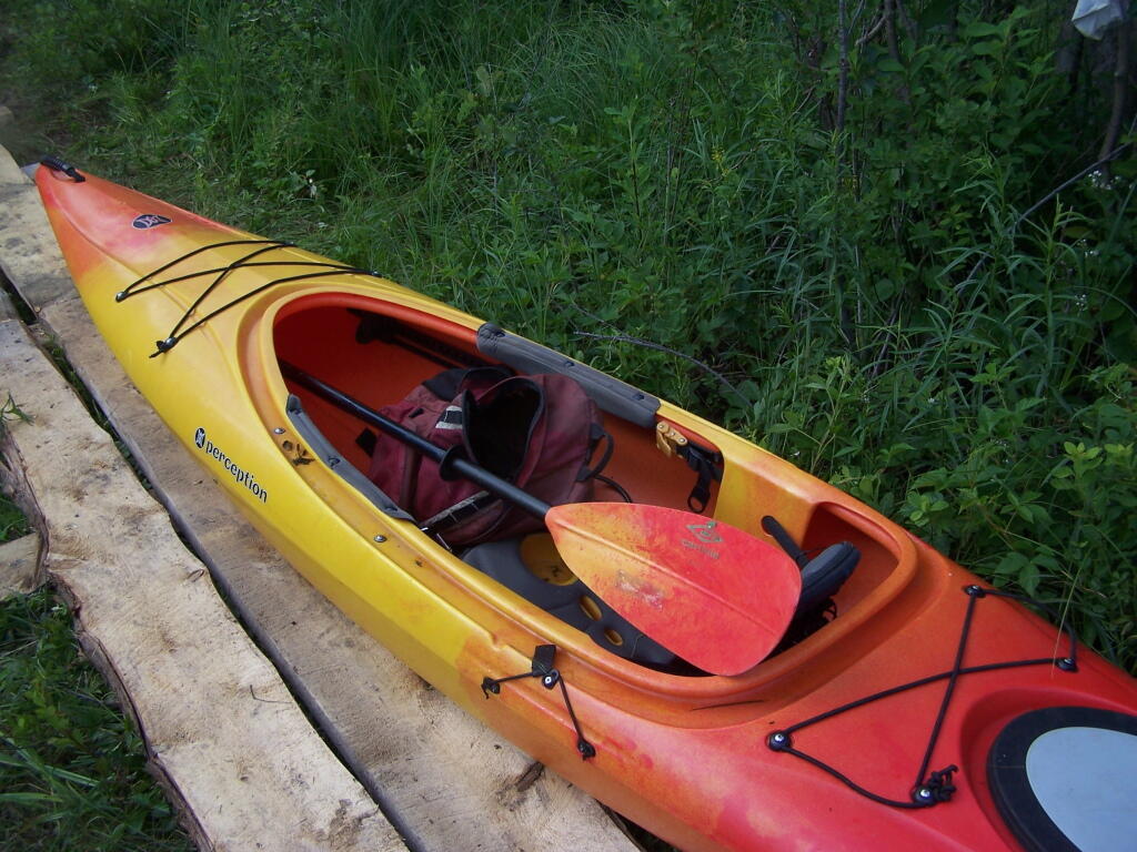
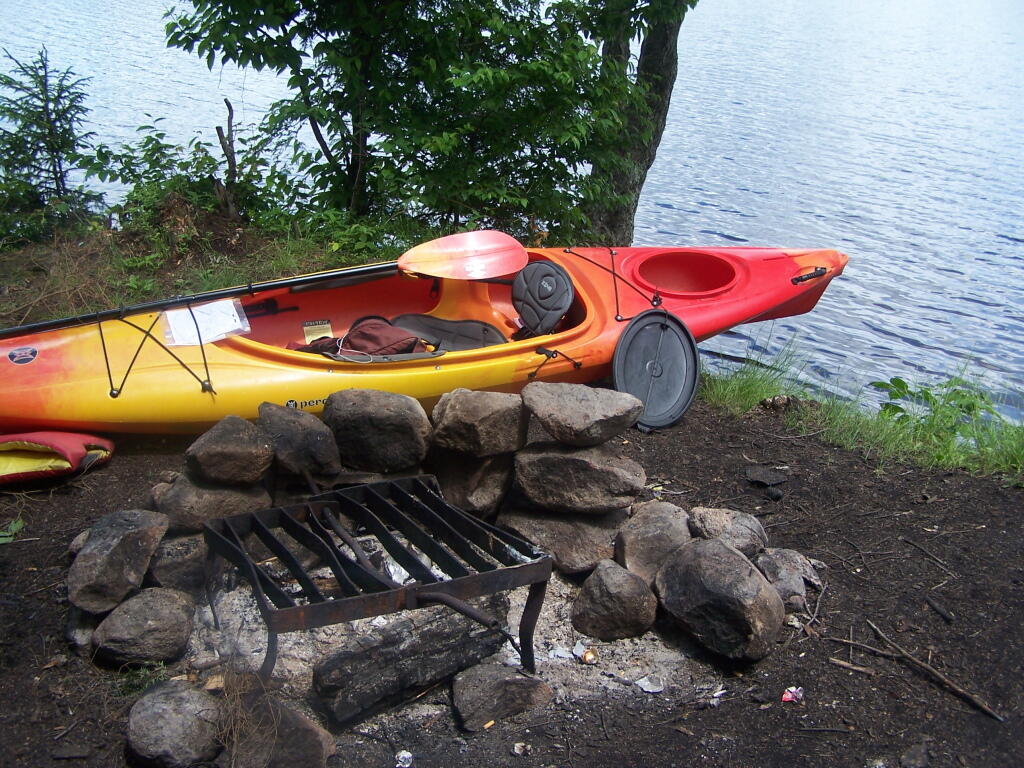
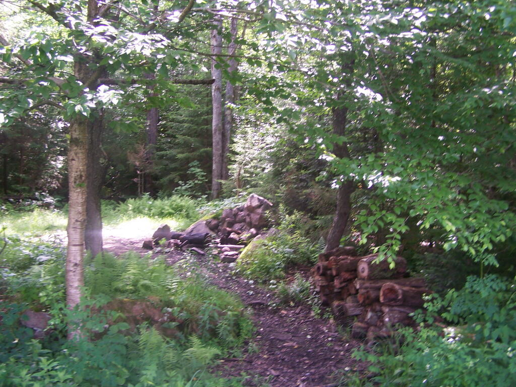
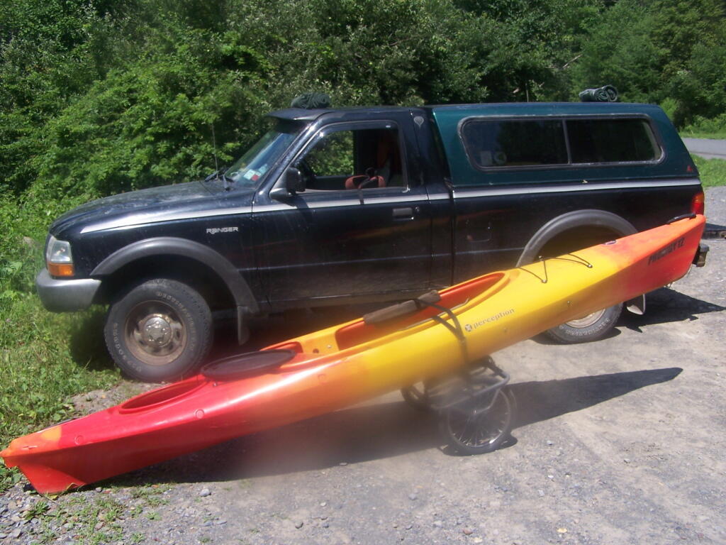
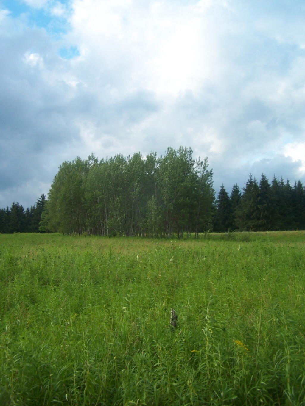
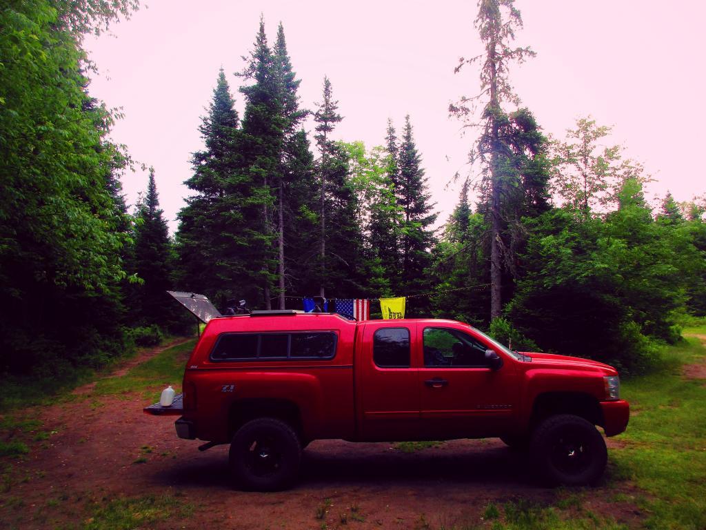
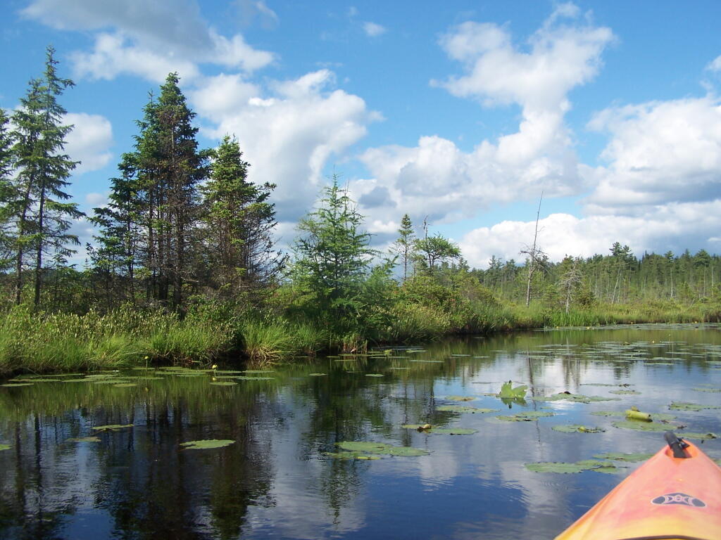
Having a good set of wheels means you won’t have to carry your kayak, but make sure not to drag it on the gravel to avoid wearing holes in your kayak, as I learned earlier this summer.
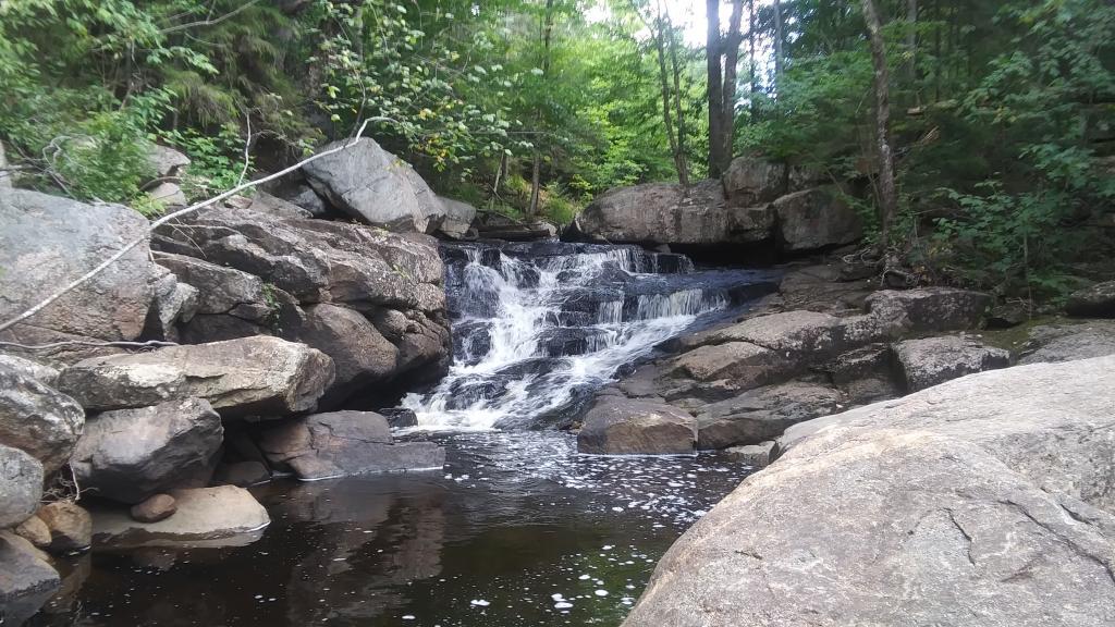
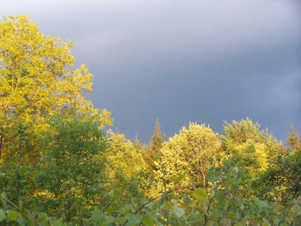
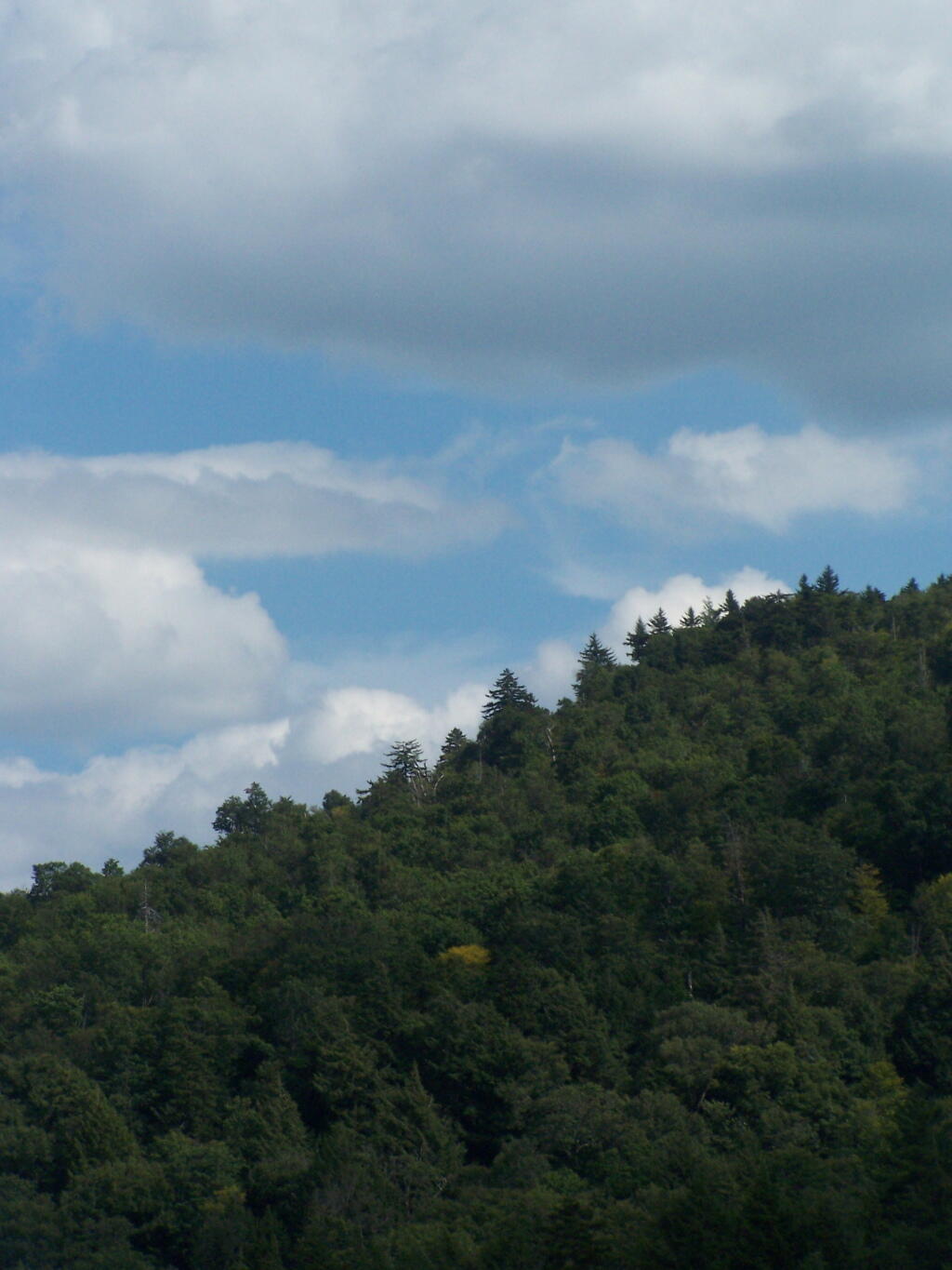
This is a delightful little trip. Do drive the Charles Baker Auto tour, or hike some of the many trails in the area…
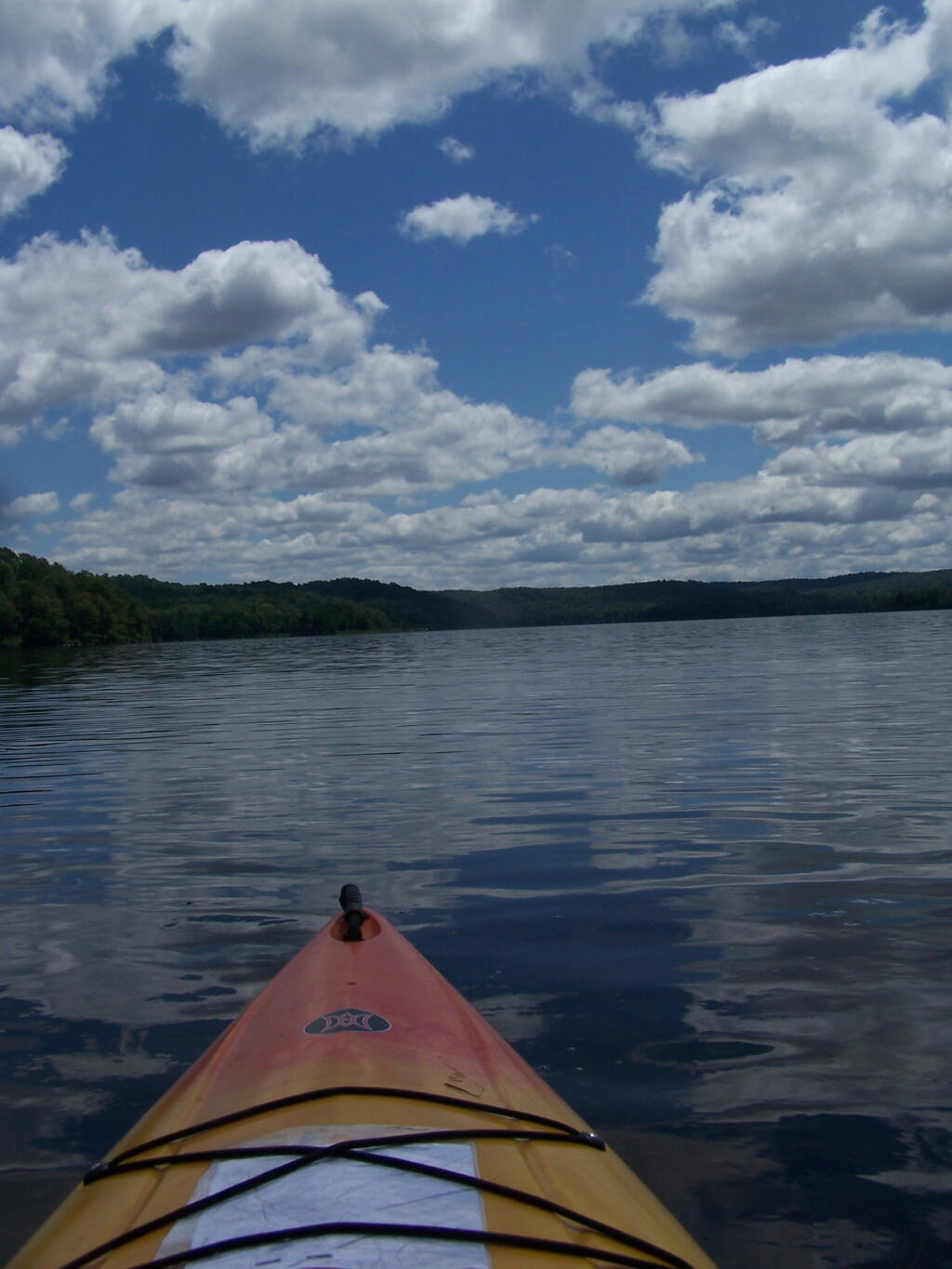
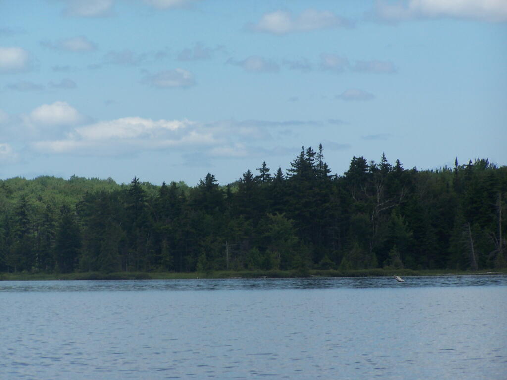
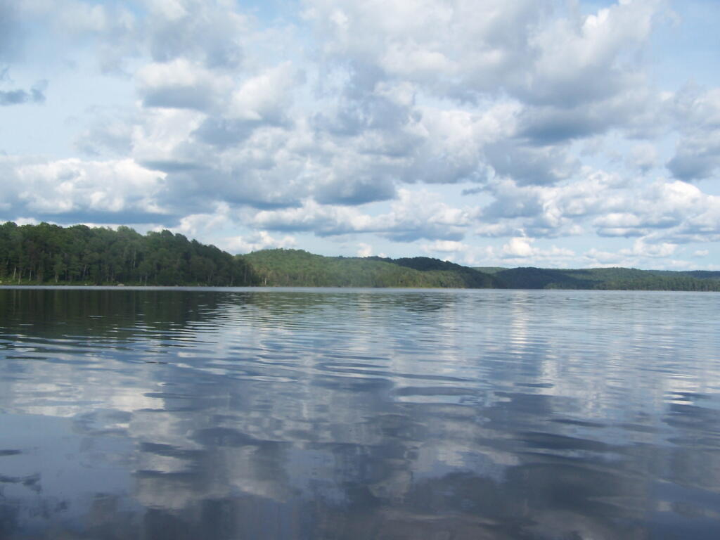
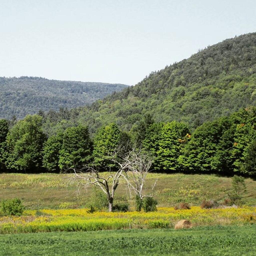
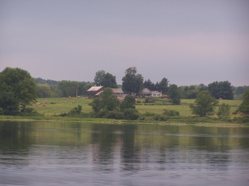
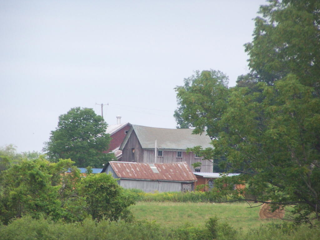
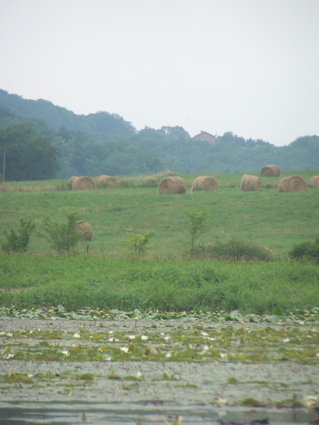
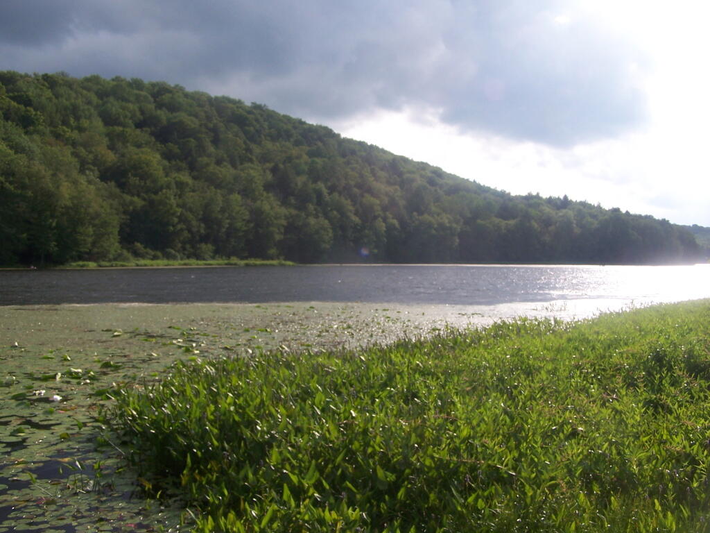
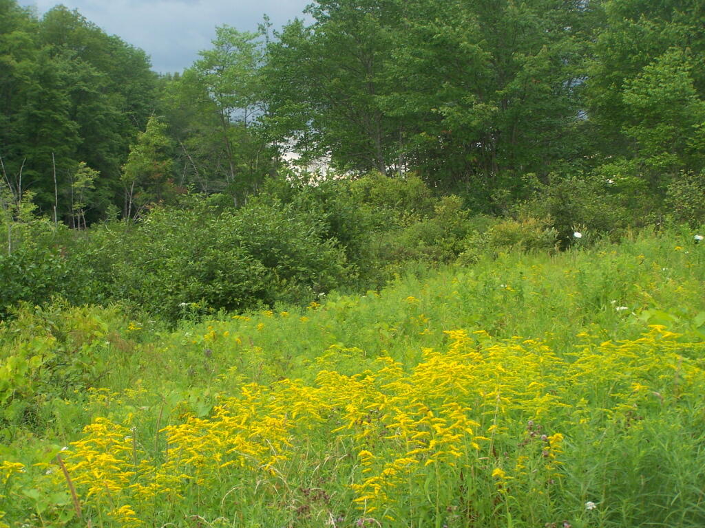
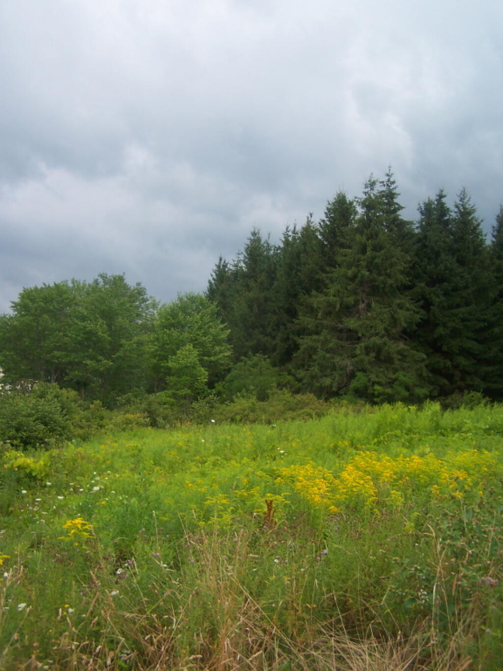
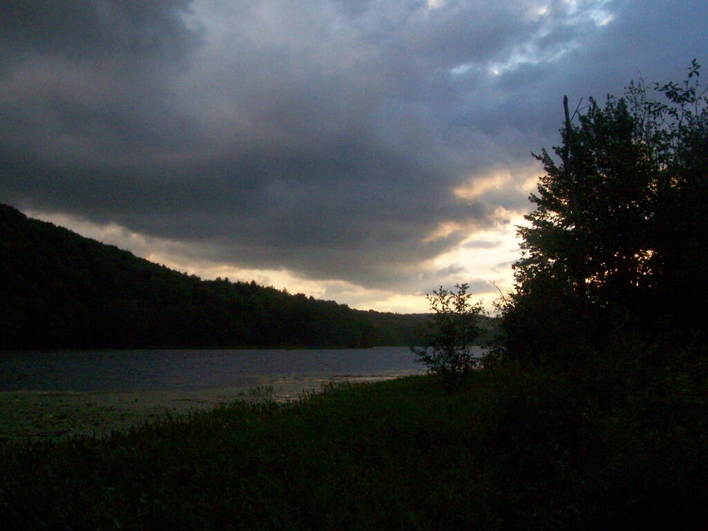
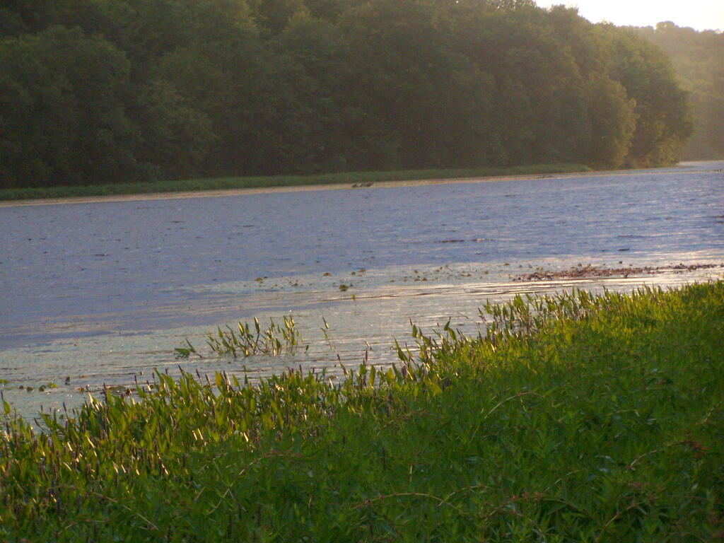
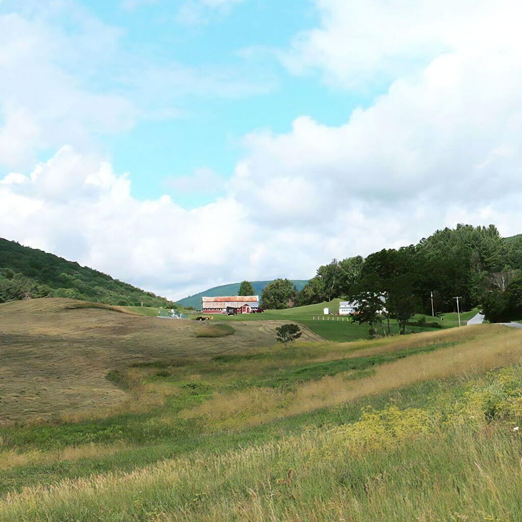
Long Pond offers 8 designated roadside campsites, and a handful of other informal campsites on the other side of the lake. A large man-made lake in an agricultural landscape of Chenango County, it offers some excellent fishing and nice views, especially for Chenango County.
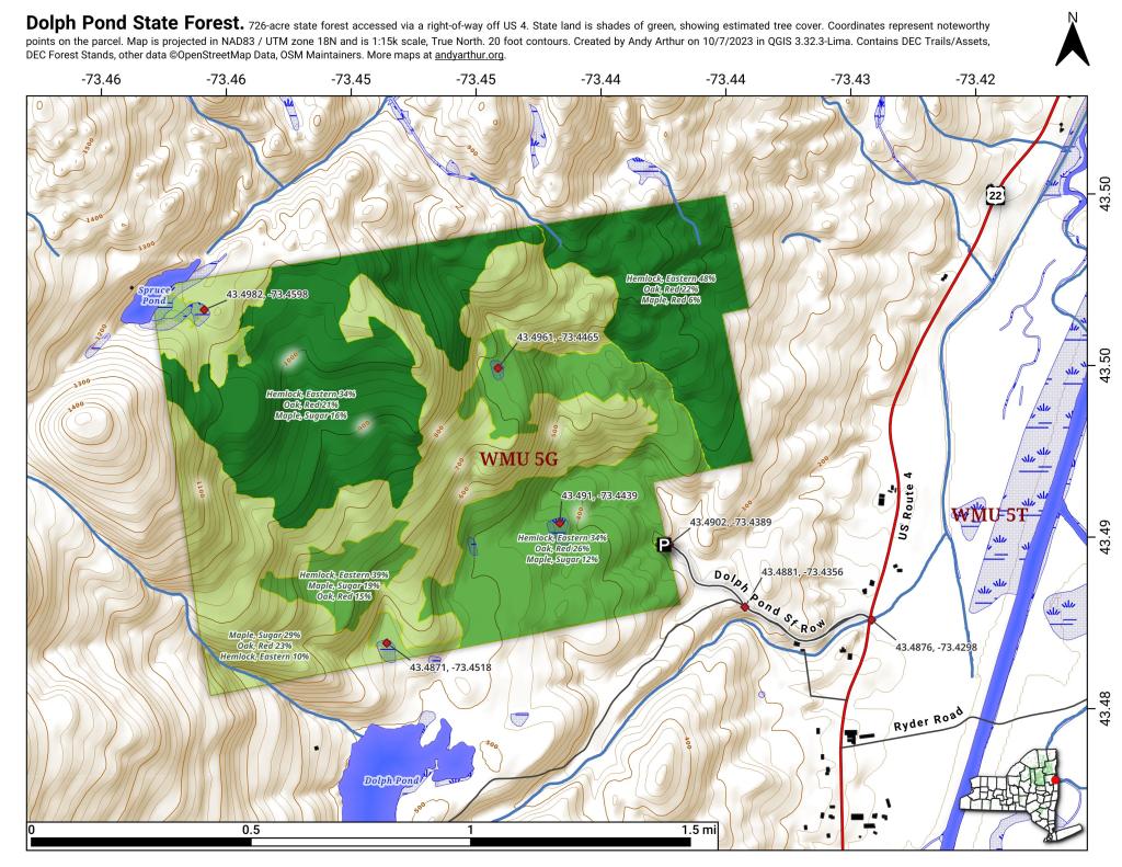
This map below shows where each picture was taken roughly in the area.
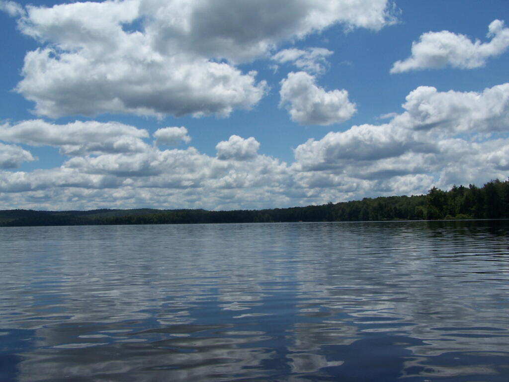
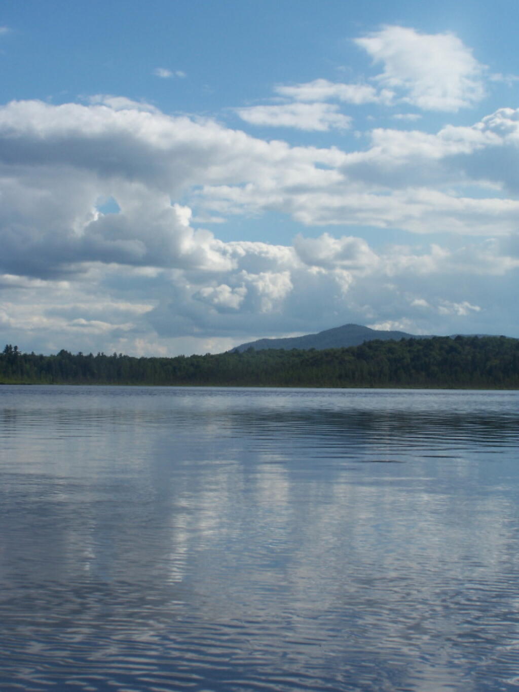
Barnum Pond, right behind the Adirondack Vistors Intreprative Center, offers some great views, and can be accessed for free from NY 30, one mile north of VIC and one mile south of Mountain Pond Camping Area. Click on the map below, to display a full-size version, perfect for printing and slapping in a plastic bag, to strap on your kayak.
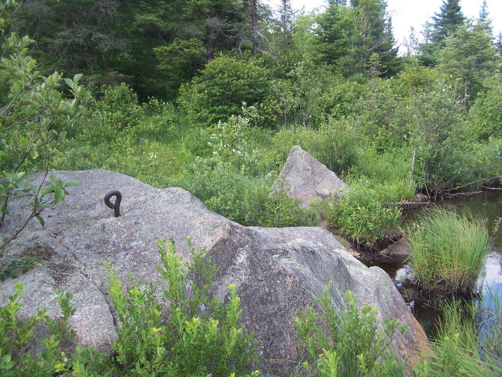
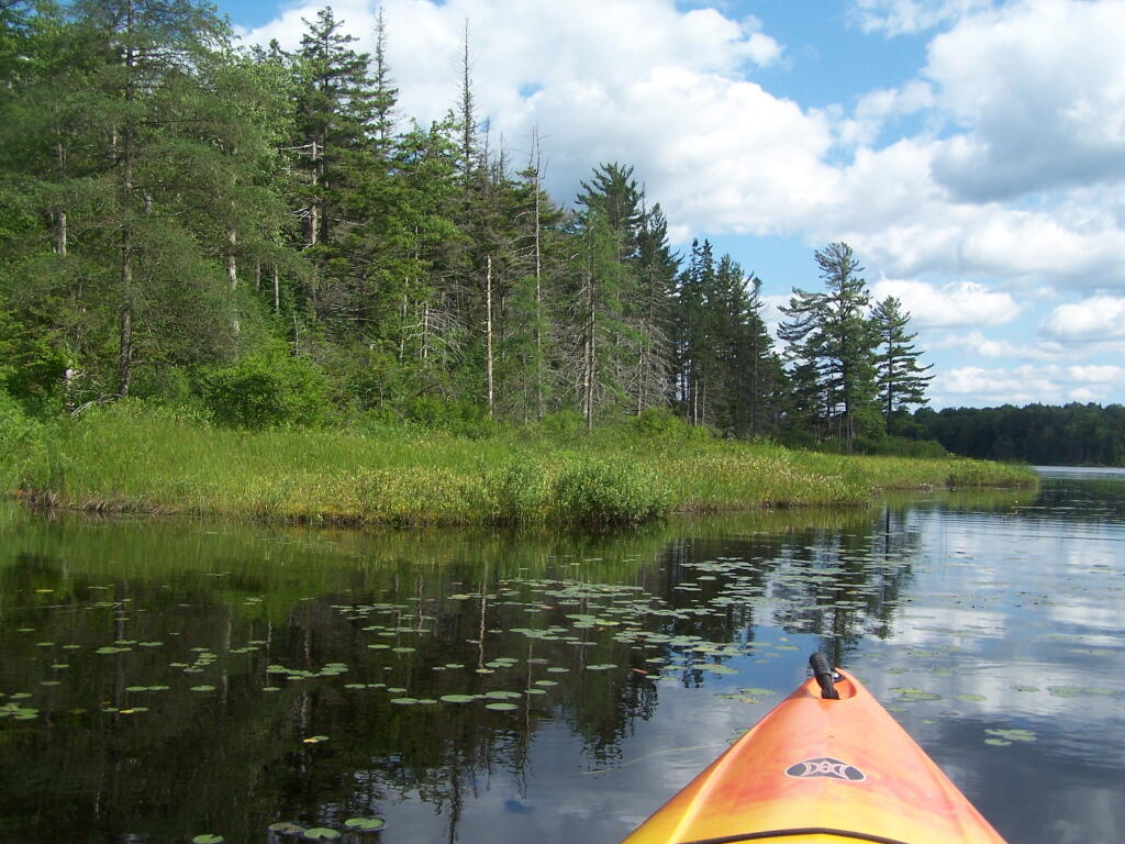
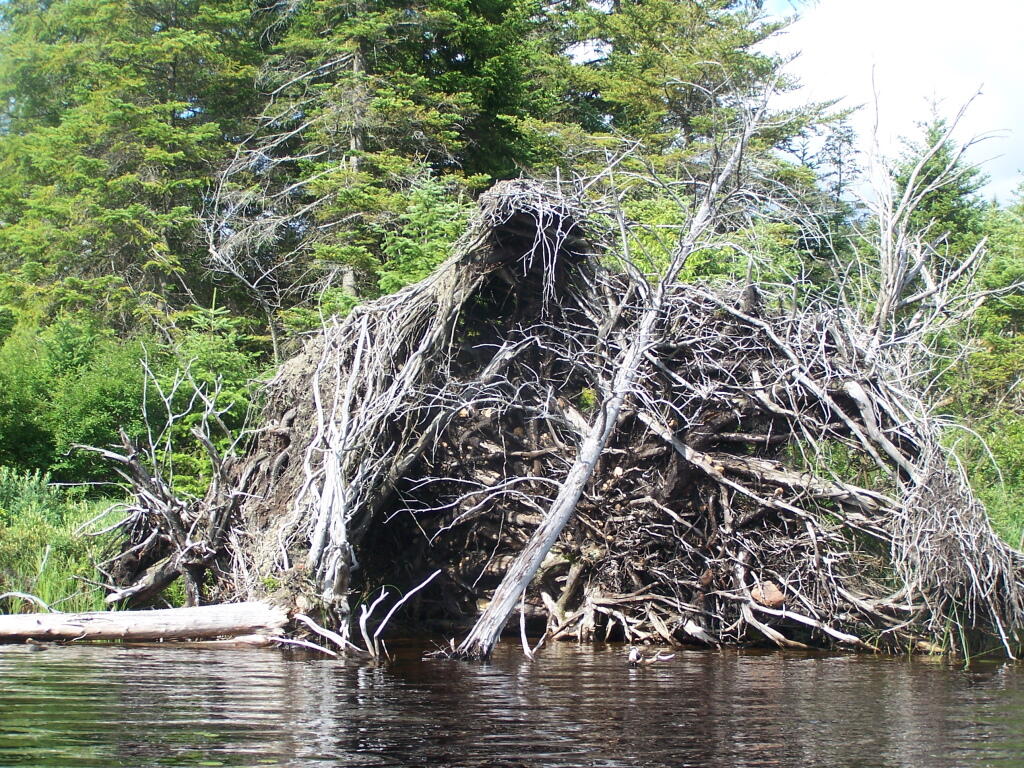
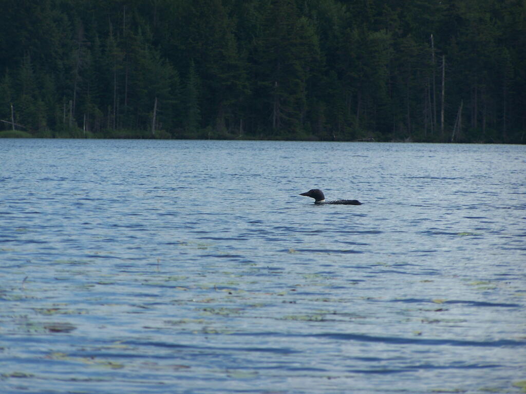
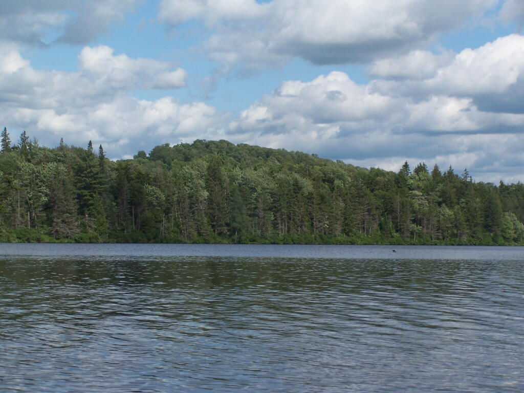
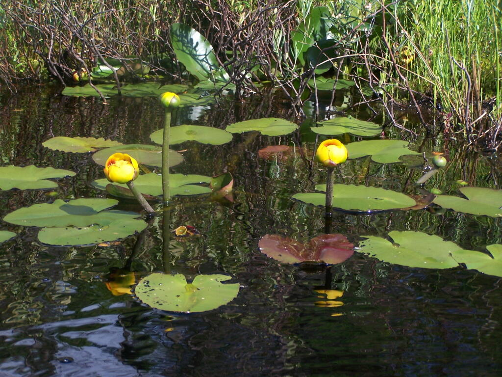
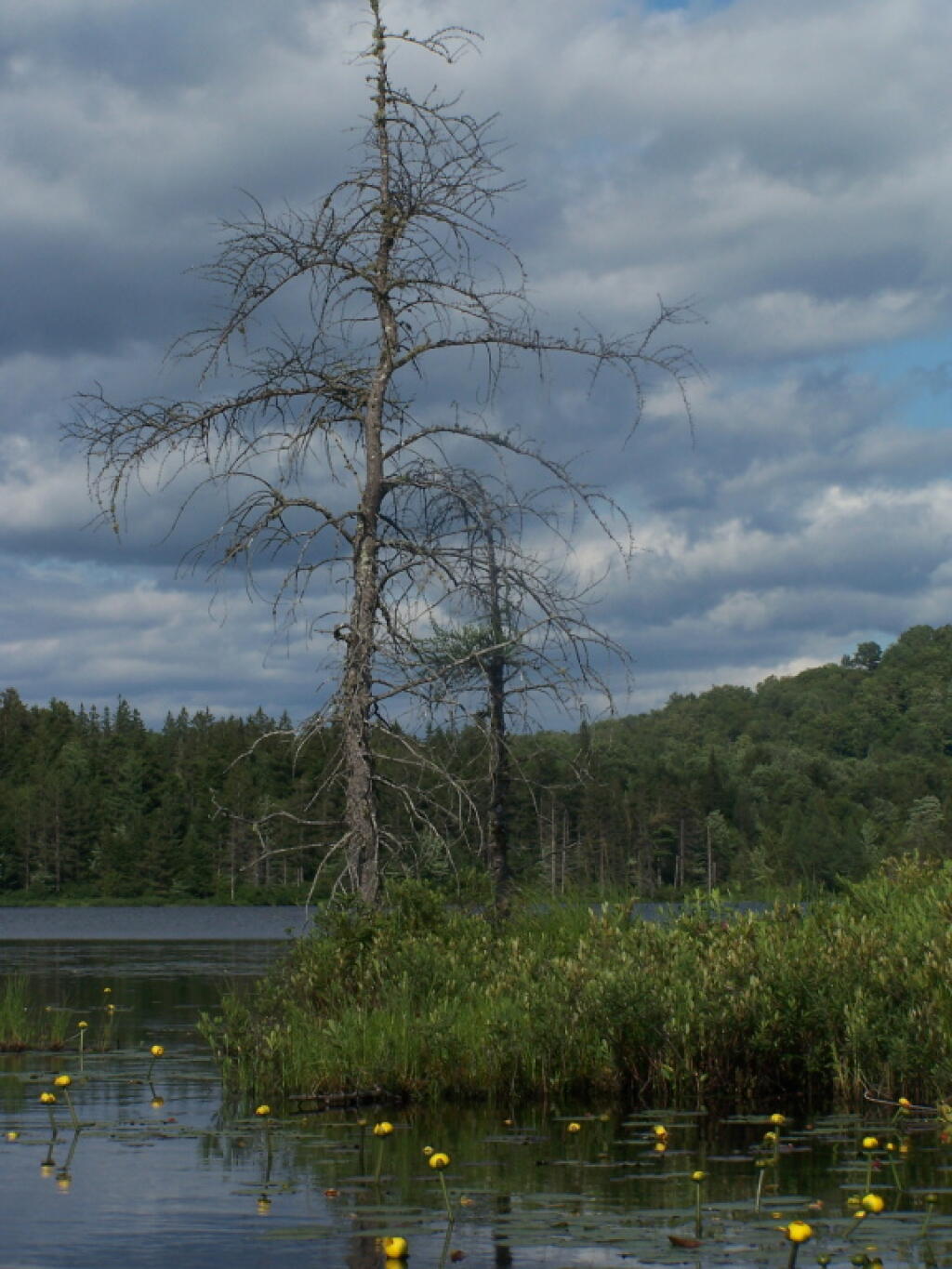
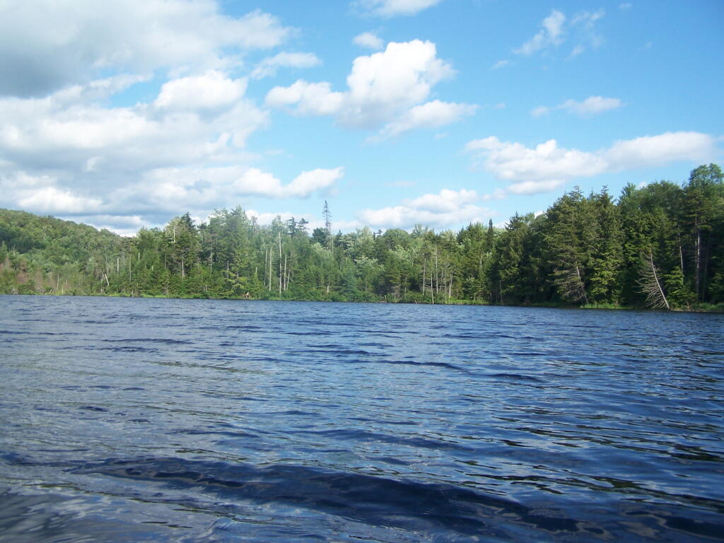
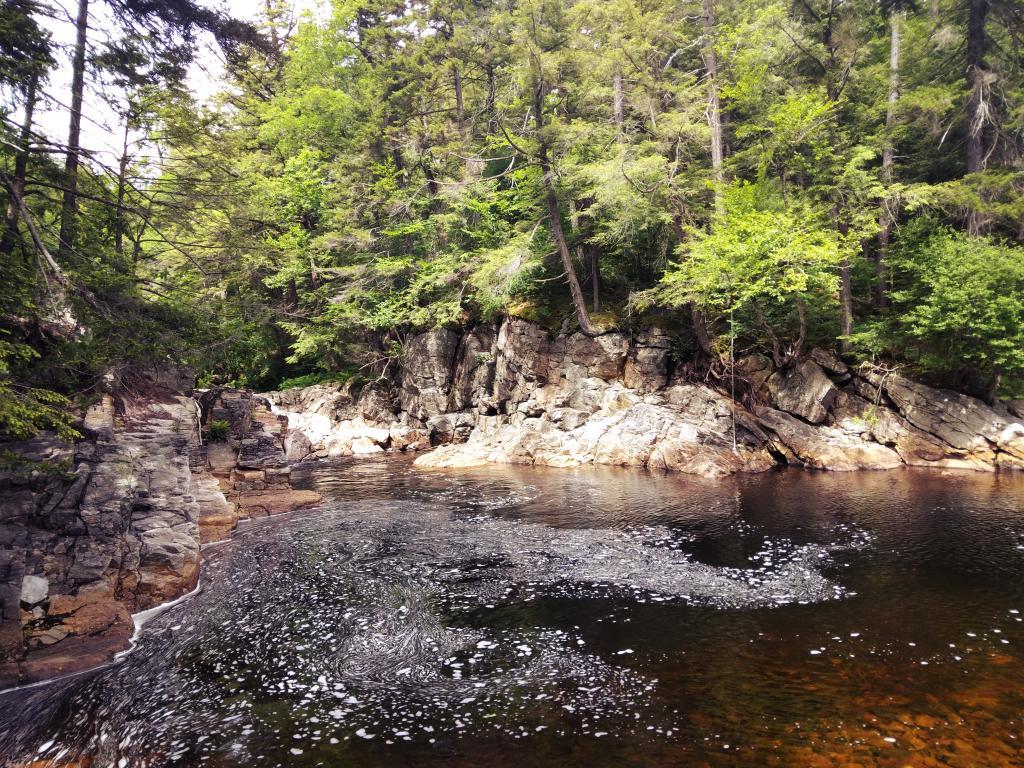
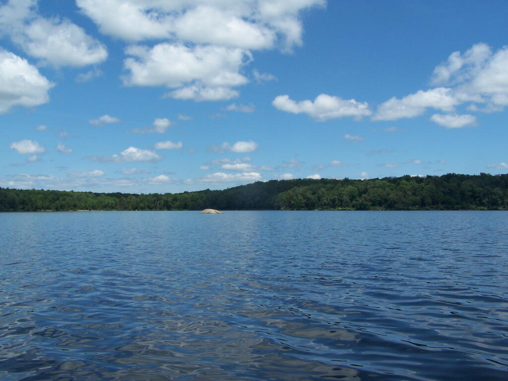
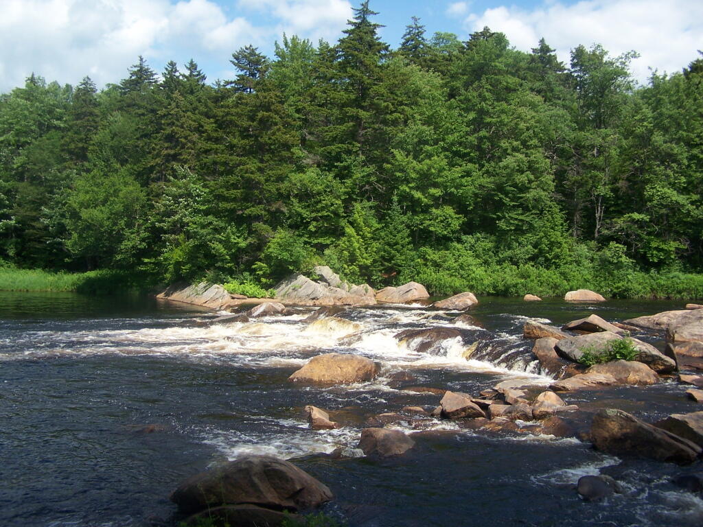
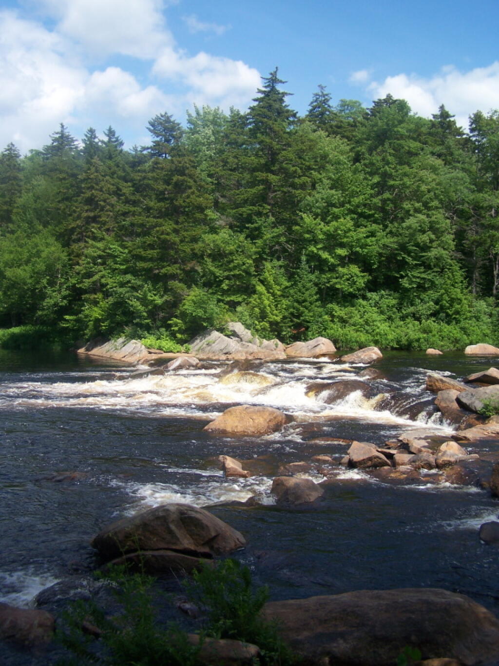
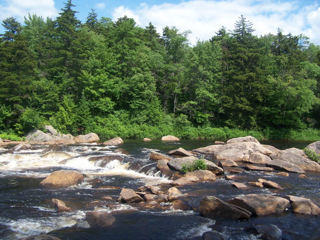
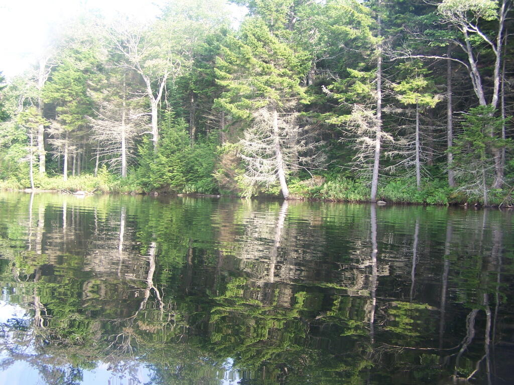
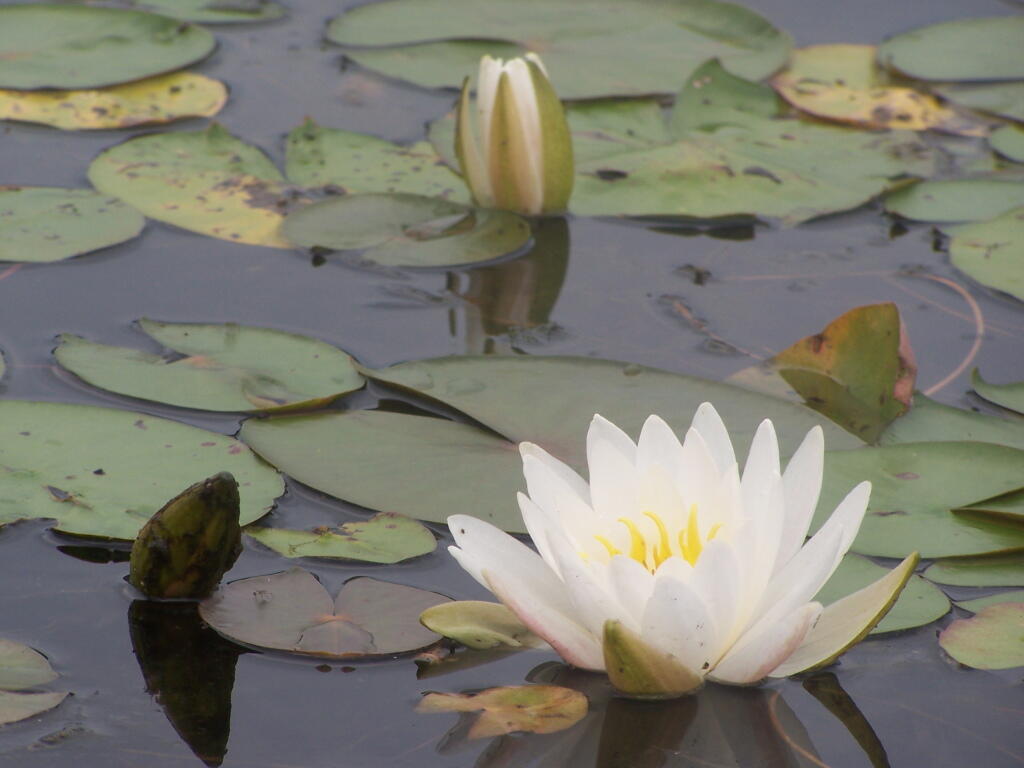
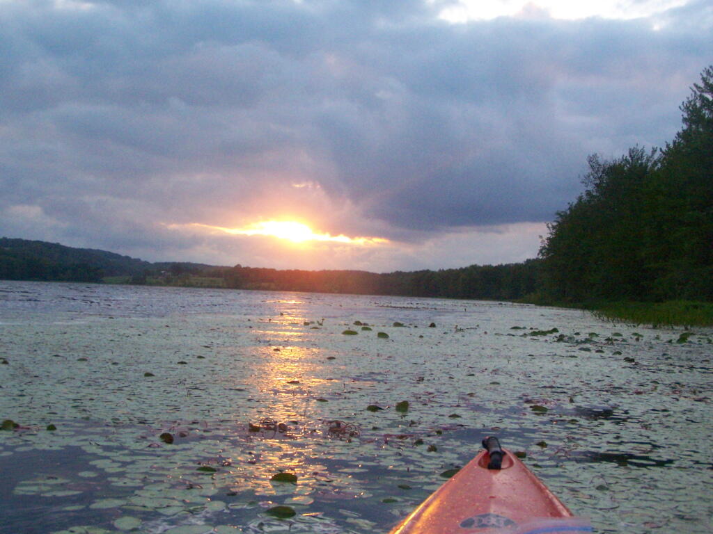
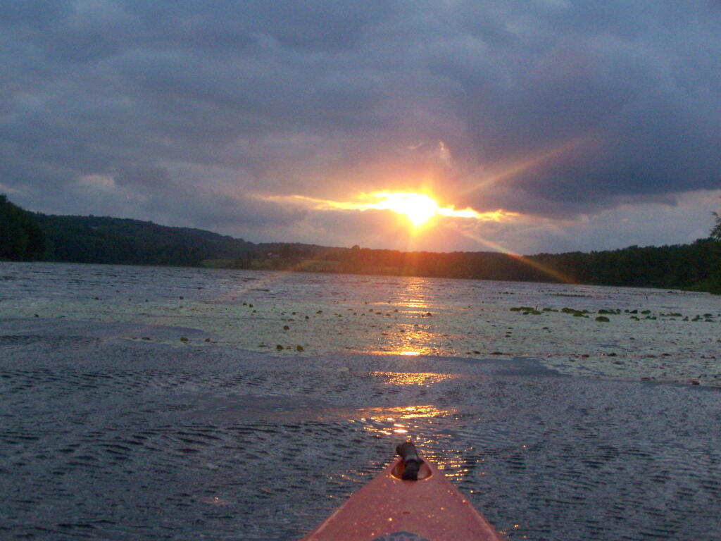
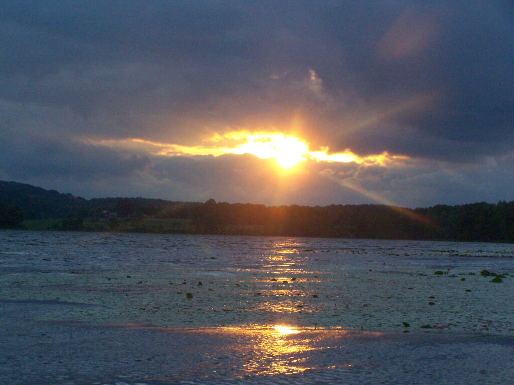
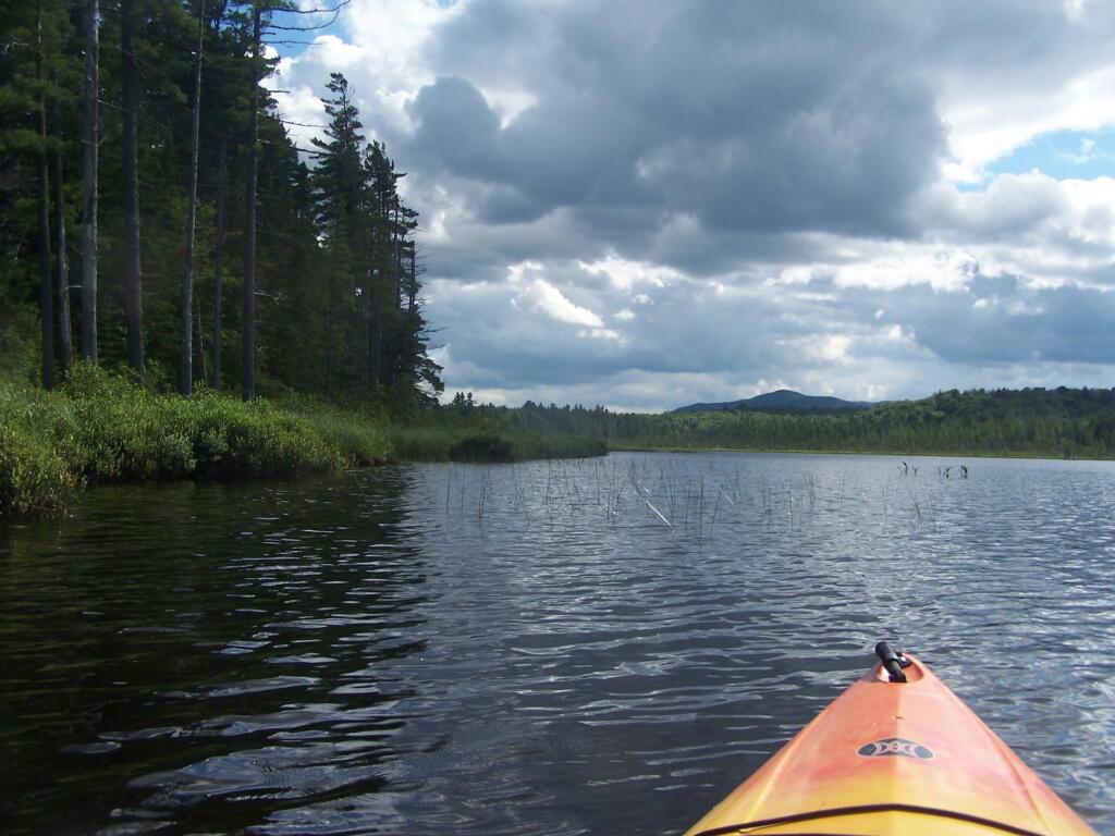
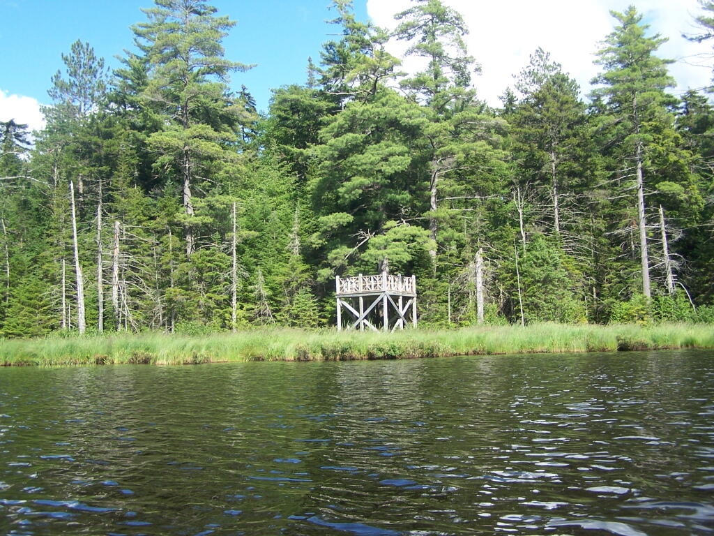
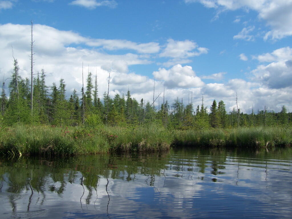
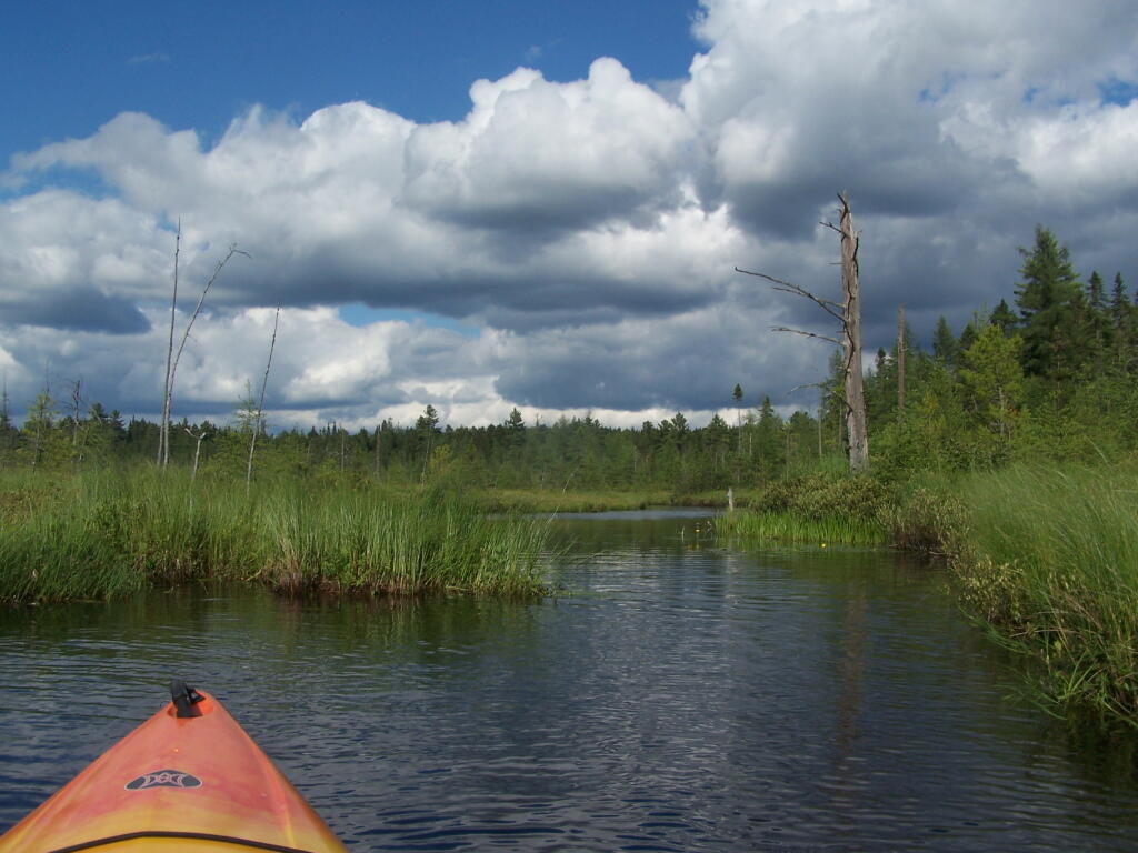
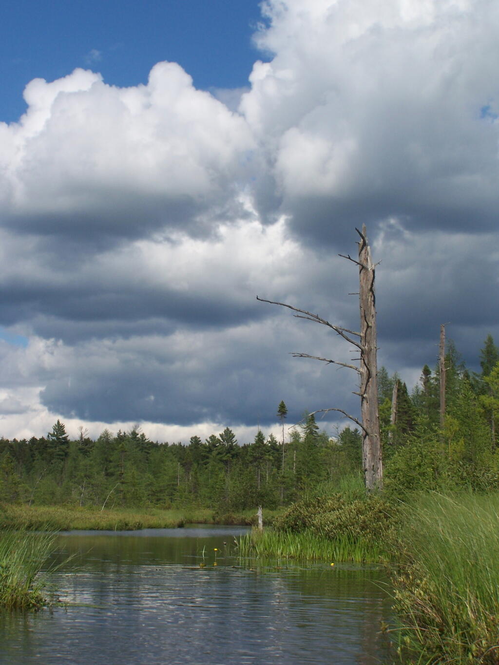
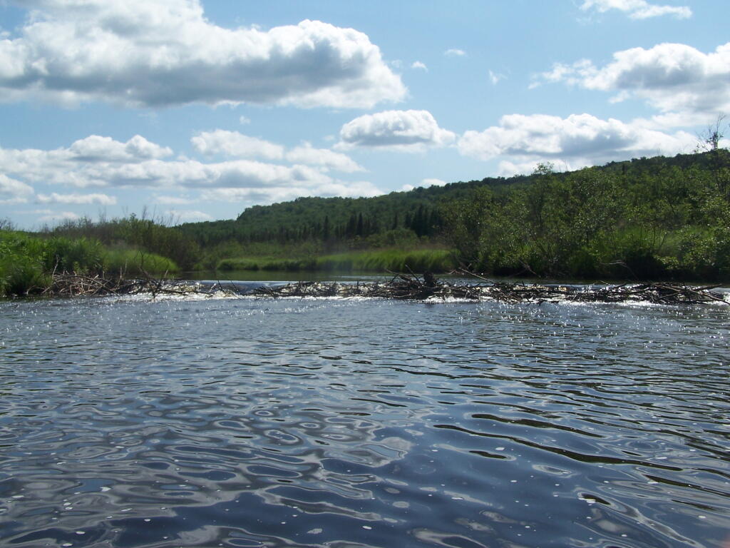
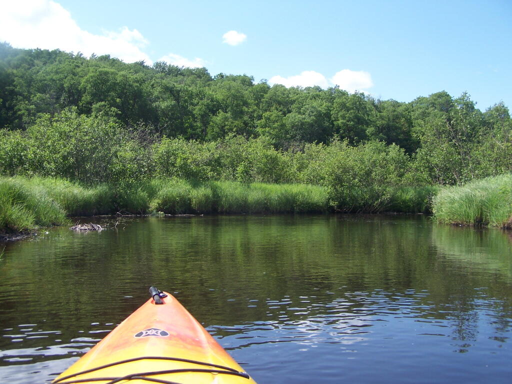
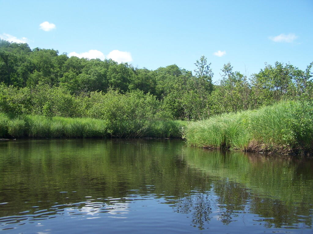
Here are some pictures I took while was paddling around this lake, proceeding from NY 30, along the Southern shore until I got to the Barnum Pond outlet, which you can continue on for about a mile until a beaver dam. You can portage around the beaver dam, if you choose, however a 1/2 mile below that is a series of man-made dams in Paul Smiths you must go around, to get down to Lower St Regis Lake.
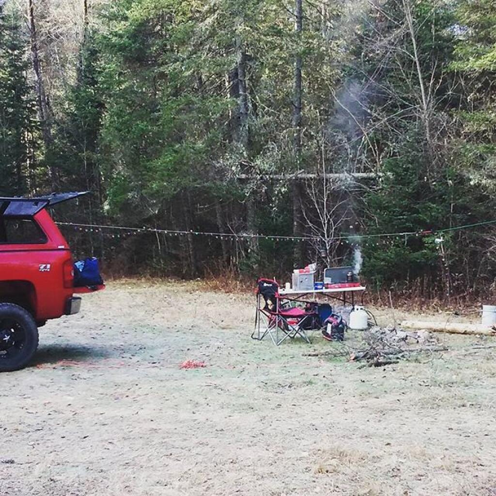
If you visit here, consider camping at Mountain Pond.
The Little River offers some interesting kayaking opportunities, and can be part of a roadside camping experience at Streeter Lake in Aldrich. Here is a map, you can click to expand and print up.
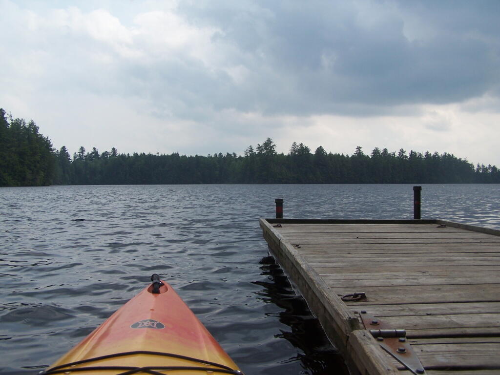
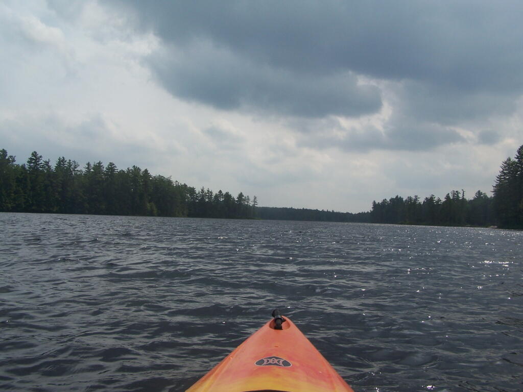
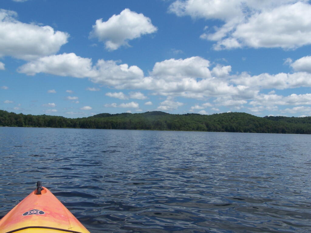
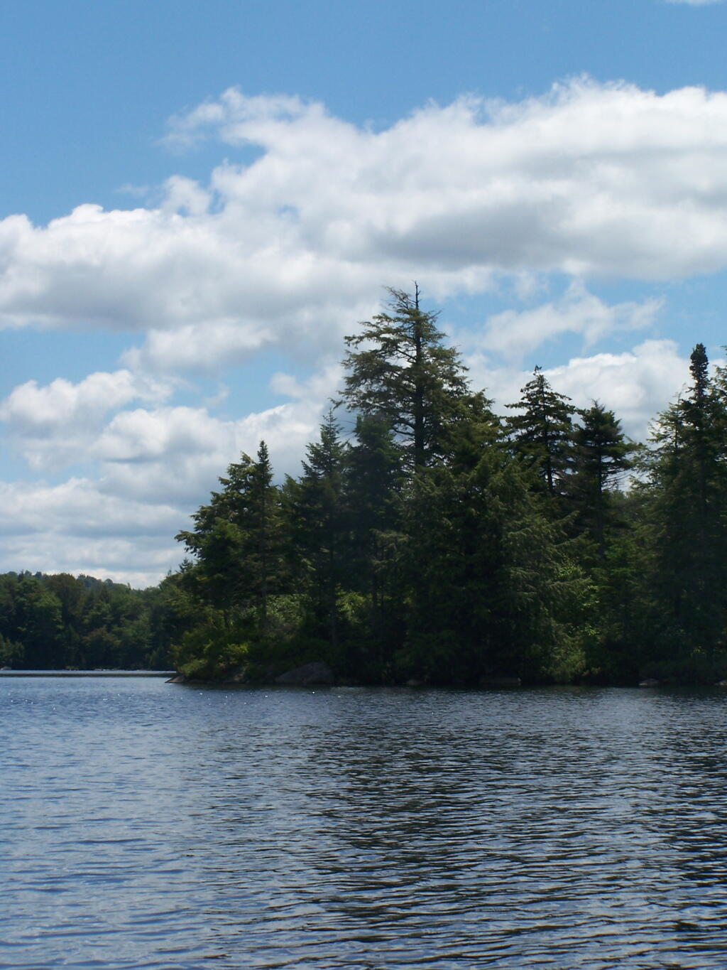
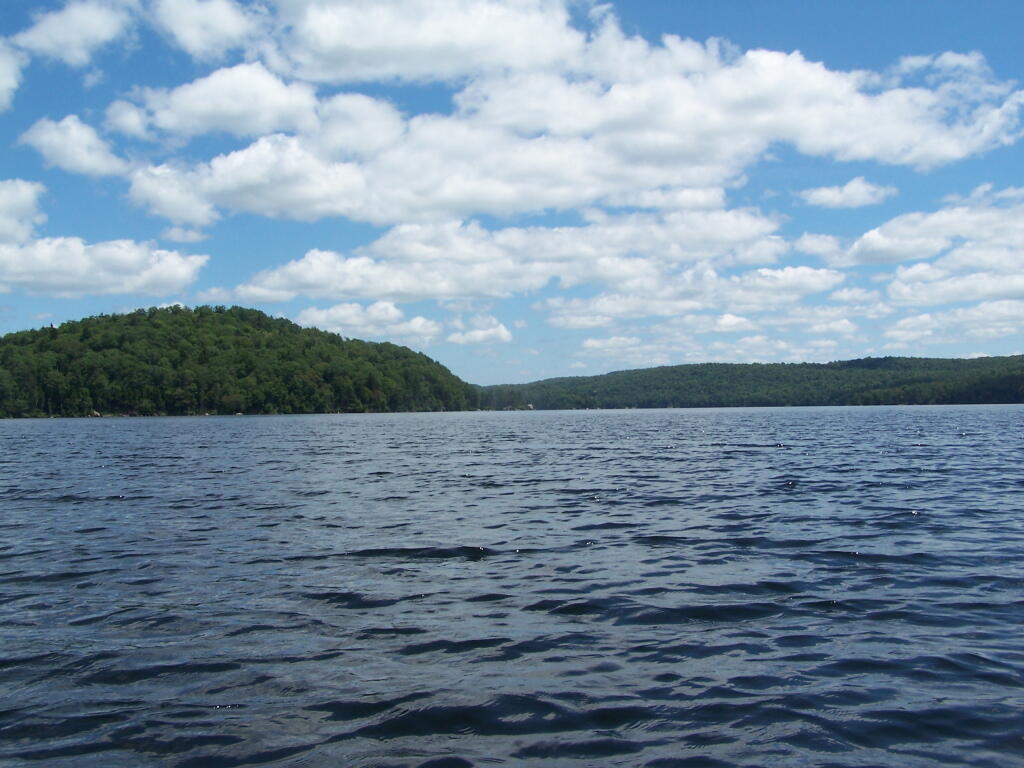
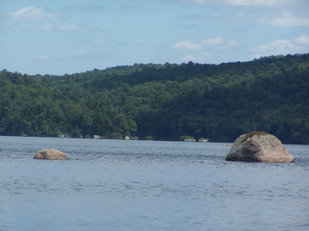
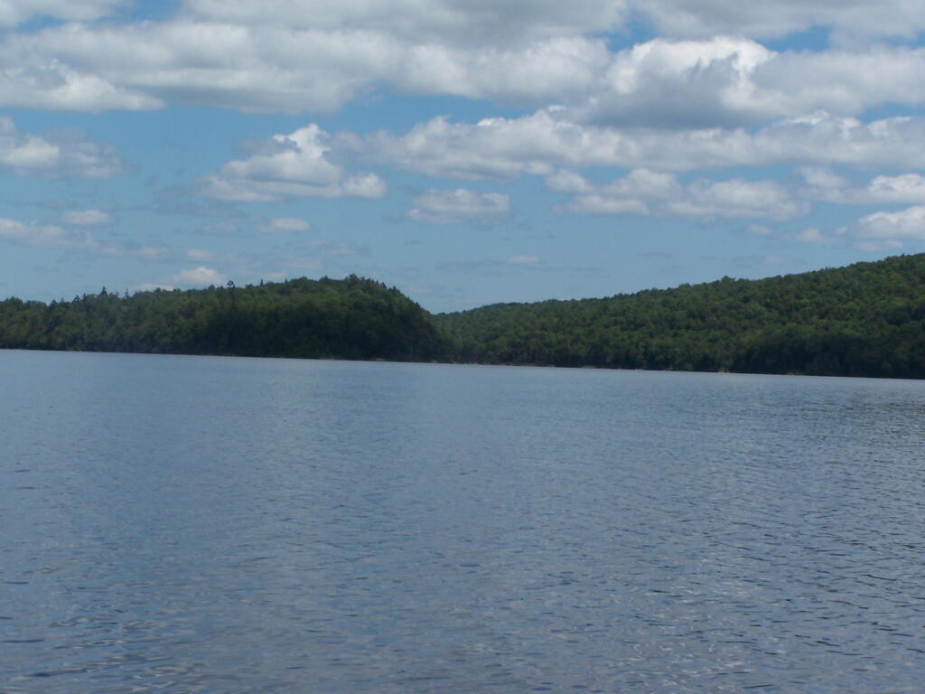
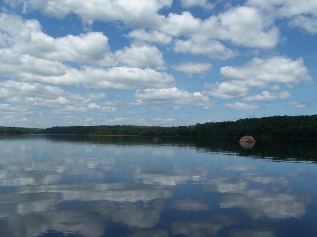
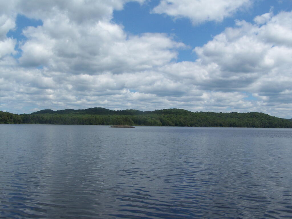
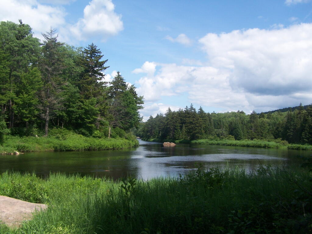
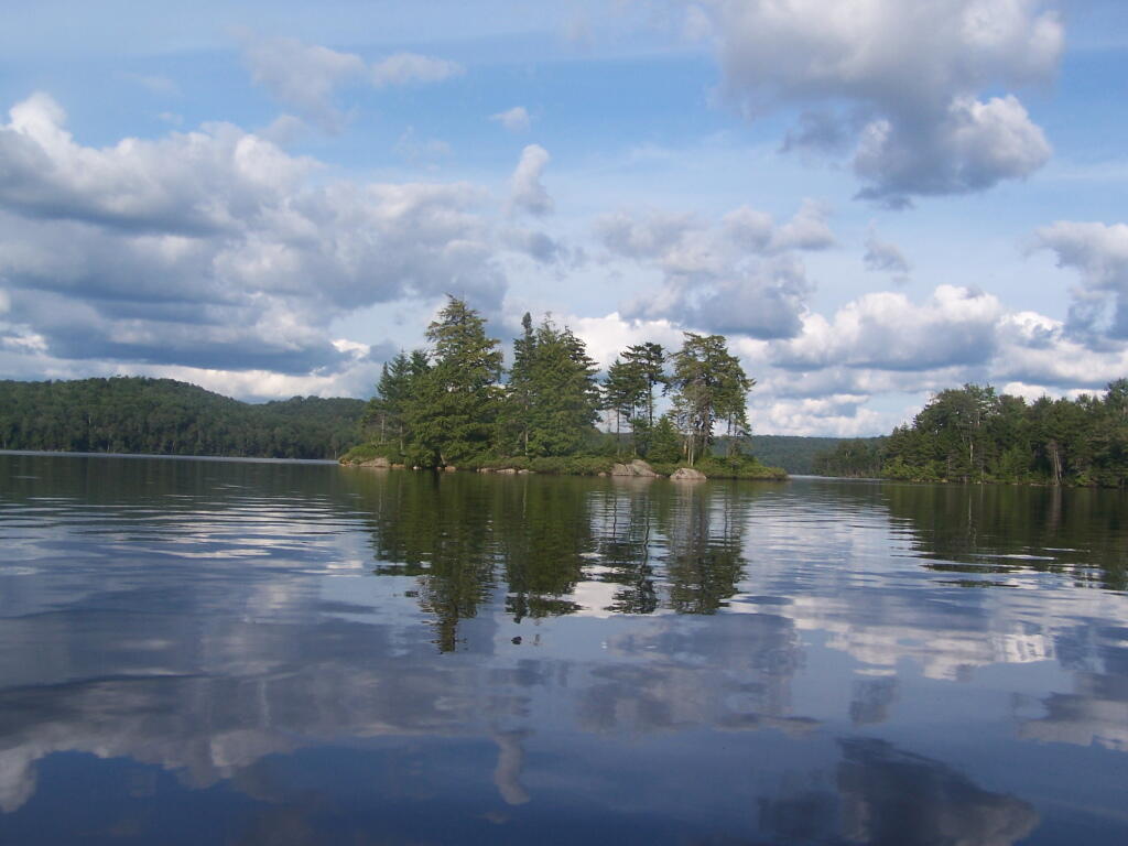
Near Number 4 is Francis Lake on Stillwater Road. It’s not the world’s largest lake, but it does offer some interesting kayaking with good views, as you paddle around this lake. There are some private inholdings along the lake, but most of the lake is pretty wild.
Click above to download the high resolution version of map for printing…
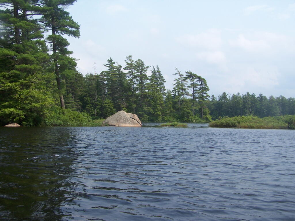
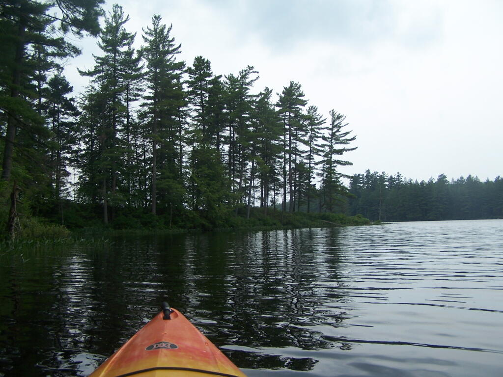
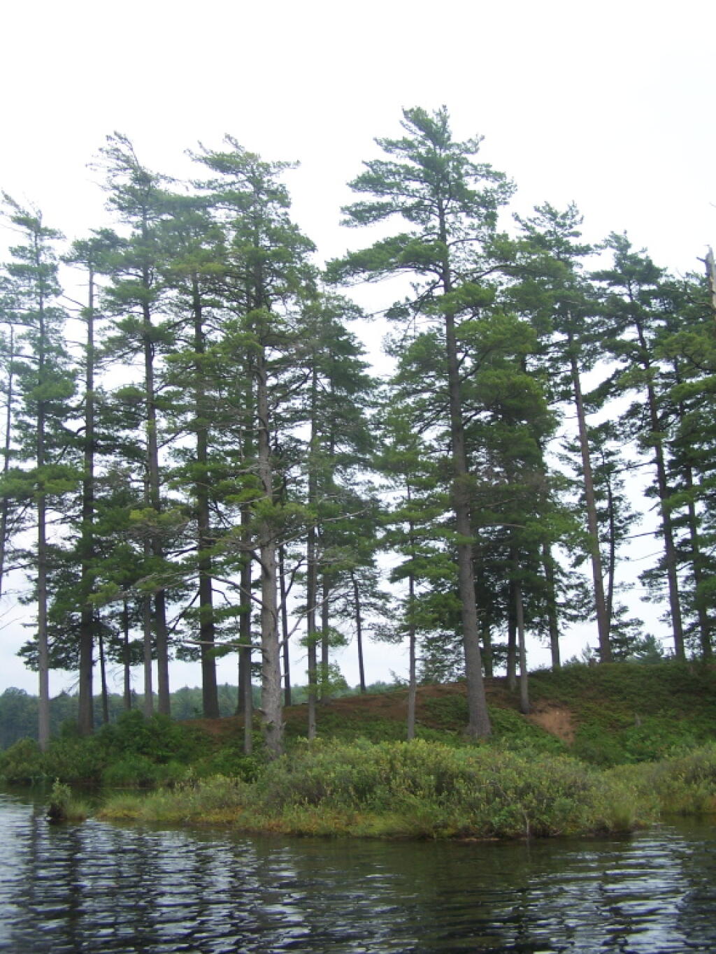
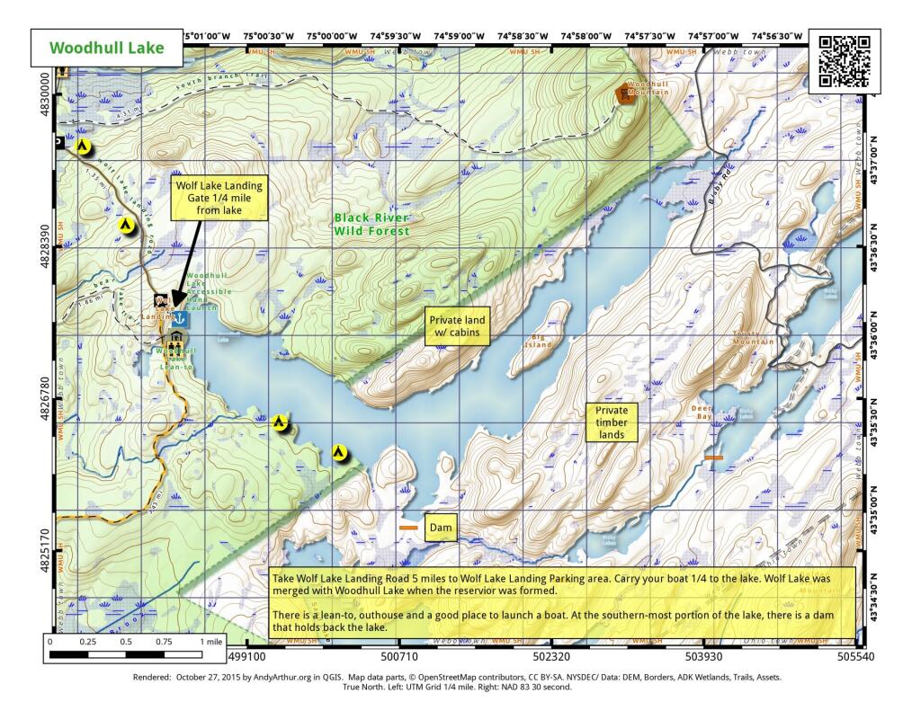
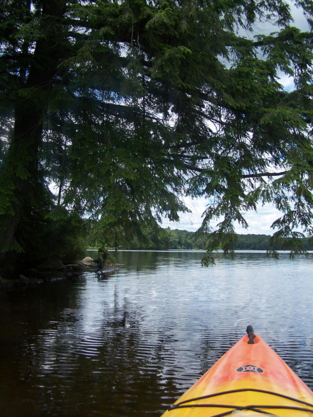
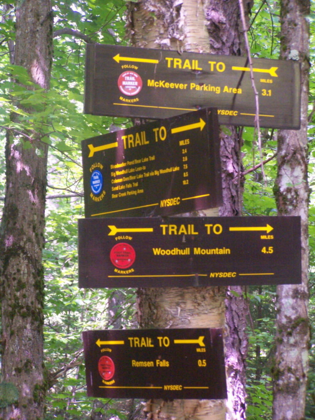
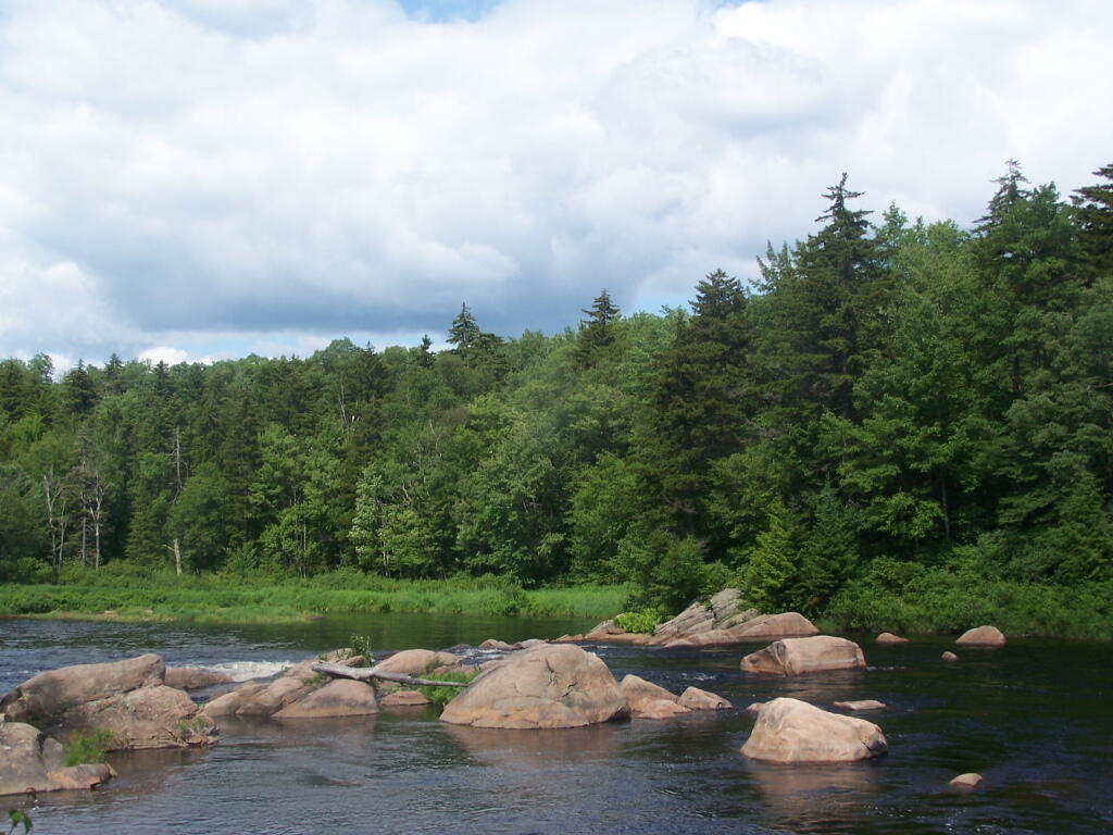
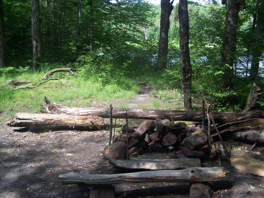
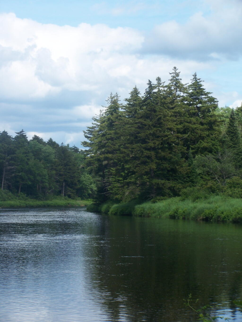
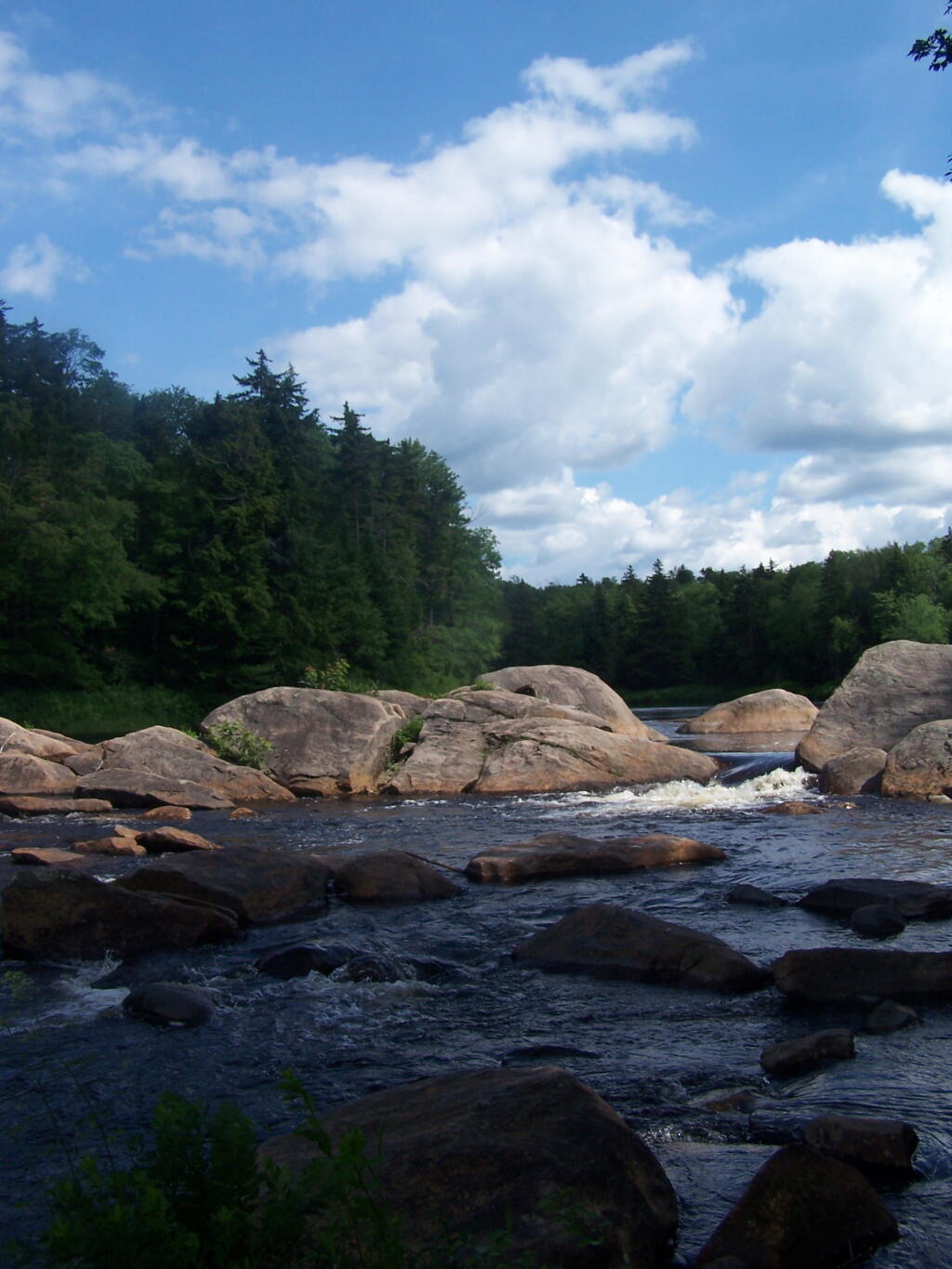
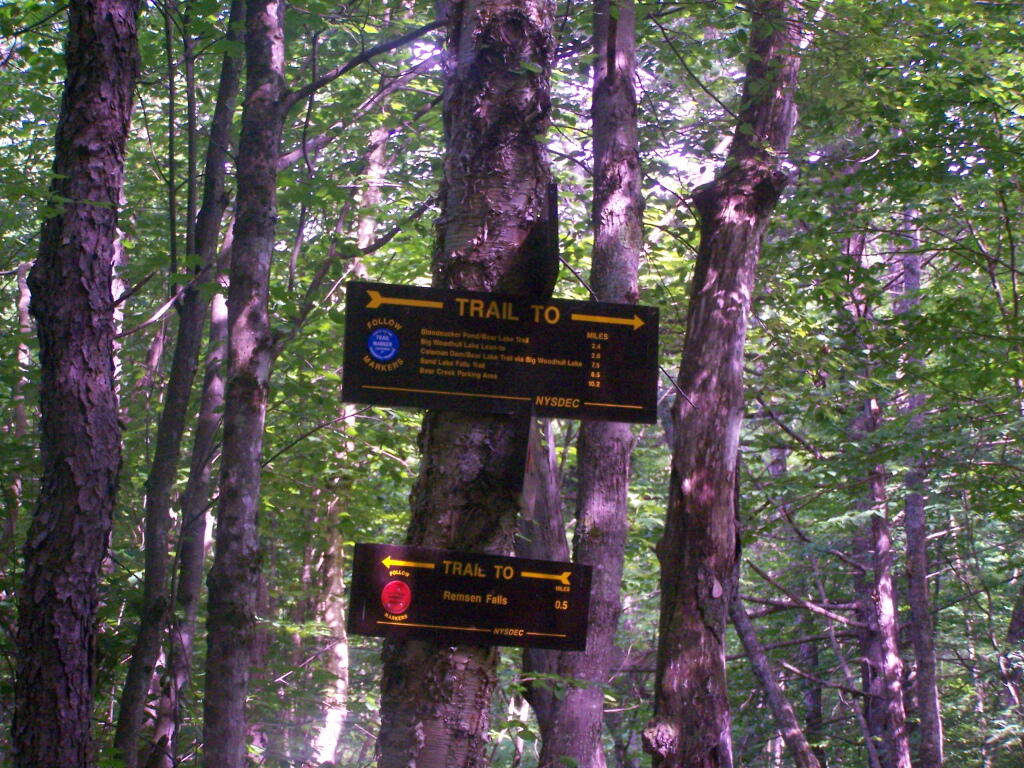
To get to Woodhull Lake, you have to take McKeever Road from NY 28 in McKeever (1/2 mile before it crosses the Moose River, then drive back about 6 miles on a dirt truck trail known as Wolf Lake Landing Road. You put in at Wolf Lakes Landing, which is named after one of the lakes that Woodhull Lake covered when it was dammed up to form a larger lake to provide water supply to the Erie Canal.
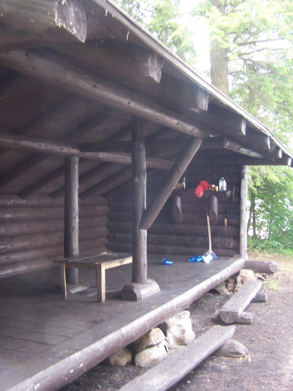
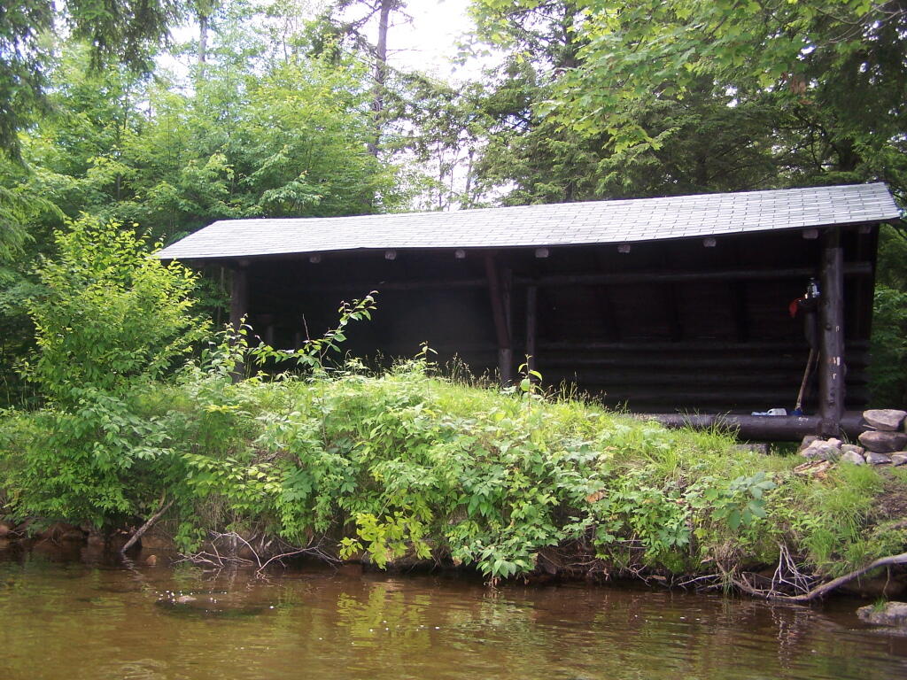
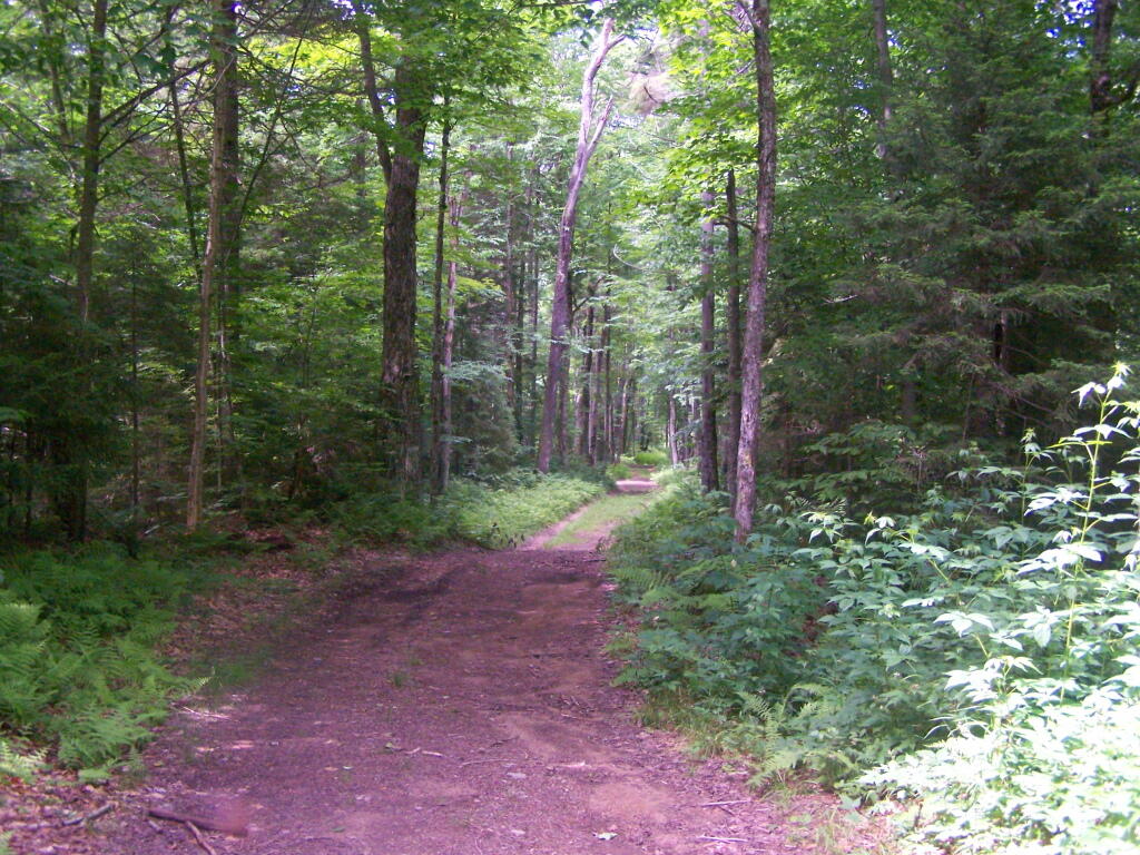
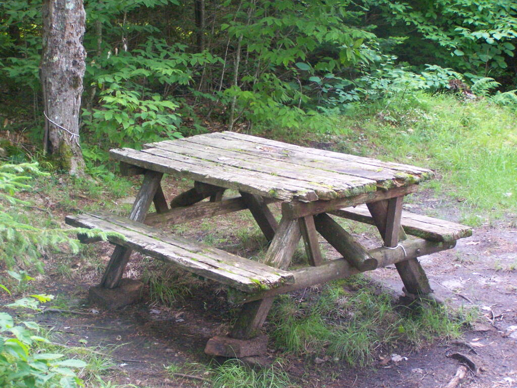
While the road is fairly well maintained one-lane gravel truck trail, one creek crossing is a bit eroded from the rains of 2011. There are roughly 6 designated roadside campsites along the road, with minimal to no facilities that you can camp at. You can drive all but an 1/8th of a mile up to Woodhull Lake, where the road is gated off, from there you have to carry your kayak or canoe to the lake on the gravel road. Consider using wheels on your kayak to assist on this portage.
Here is a map of Woodhull Lake. Consider clicking on it, for a high-resolution map that you can print up, put in a plastic bag and use on the trip like I did. It works really well like this, and I think this map prints out to be nice and high resolution, especially if you have a color printer.

![Untitled [Expires December 16 2024]](https://andyarthur.org//data/photo_008174_large.jpg)