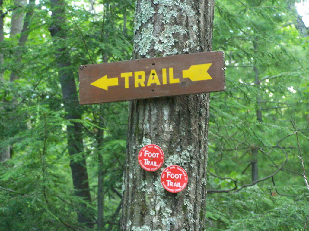
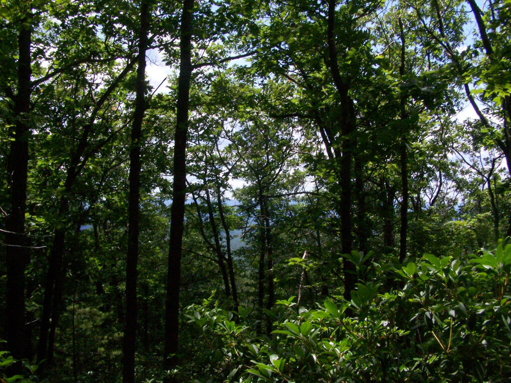
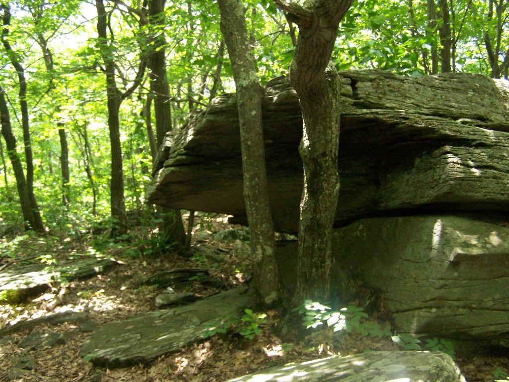
On June 20, prior to going out to the folks house, I decided to go for a little walk at the OSI Parcel of Thacher Park, from Carrick Road down to High Point, then to Hang Gliders’ Point. While very hazy, it still was a beautiful day.
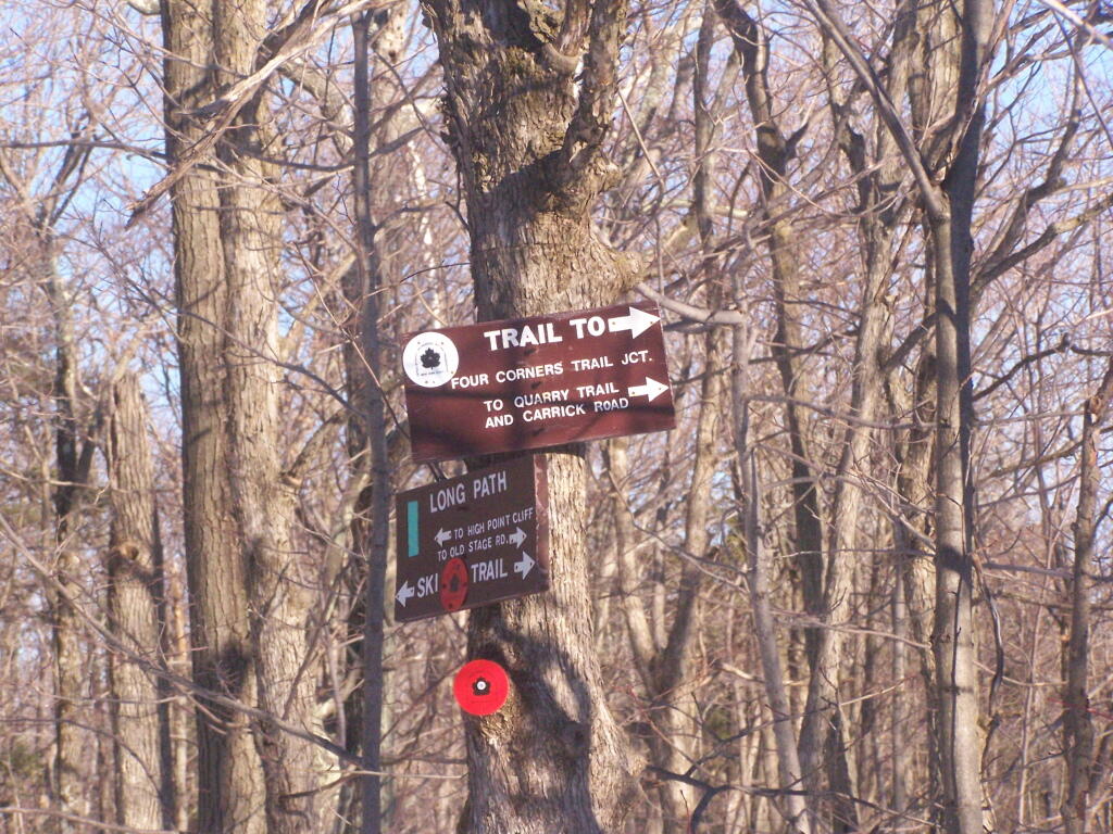
Parked at the old Blue Stone Mining Pit, with the “Stone Sculptures”.
At the 3 Mile Ski Trail Loop Intersection.
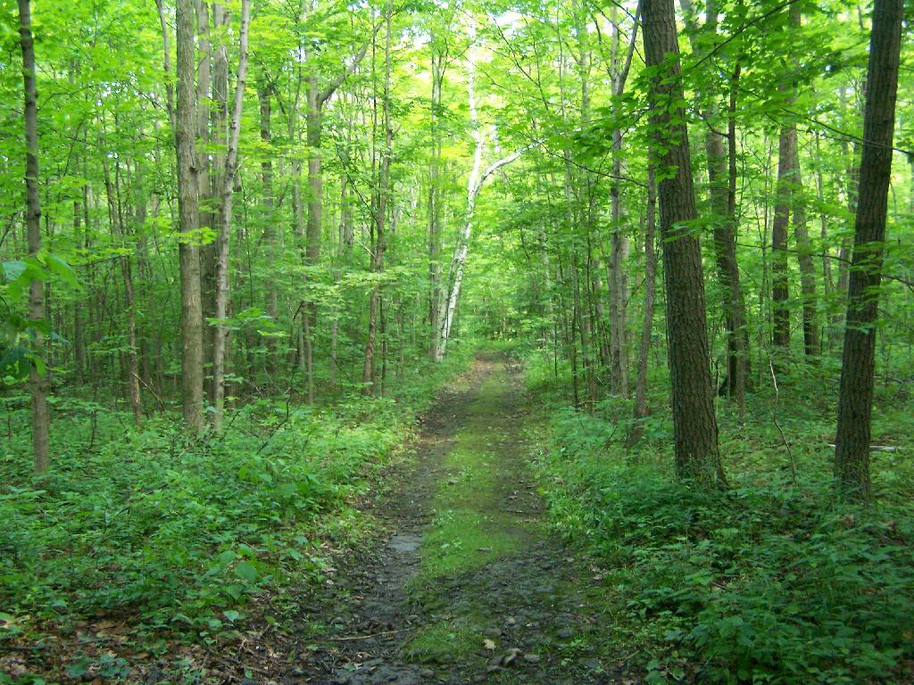
Hiking down an old-woods road that I accidentially followed too far and went right past High Point.
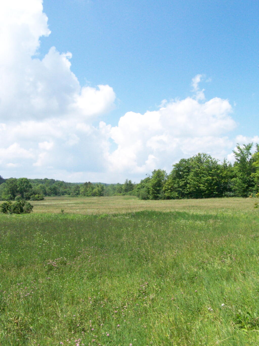
I ended up in this big hay field bordering the OSI Parcel that has a trail running through it via a landowner easement.
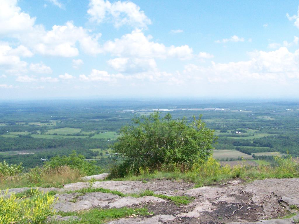
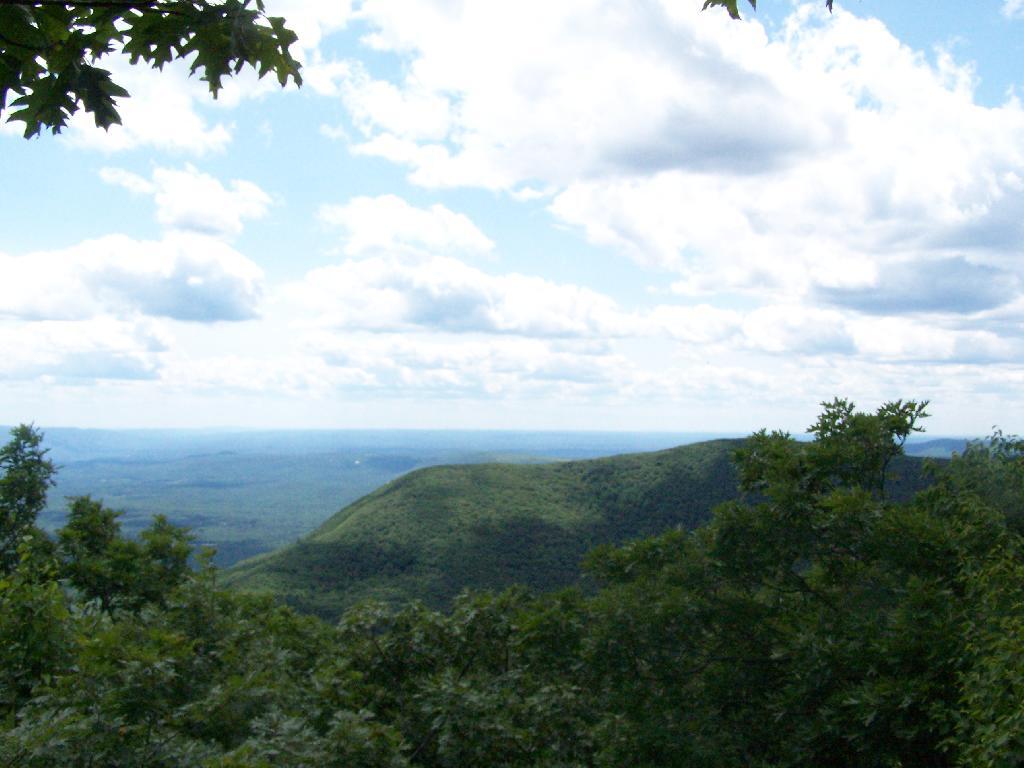
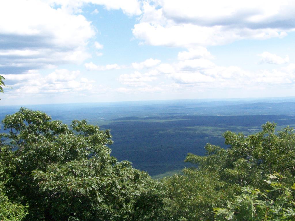
And I finally found my way to the High Point Overlook, in the haze.
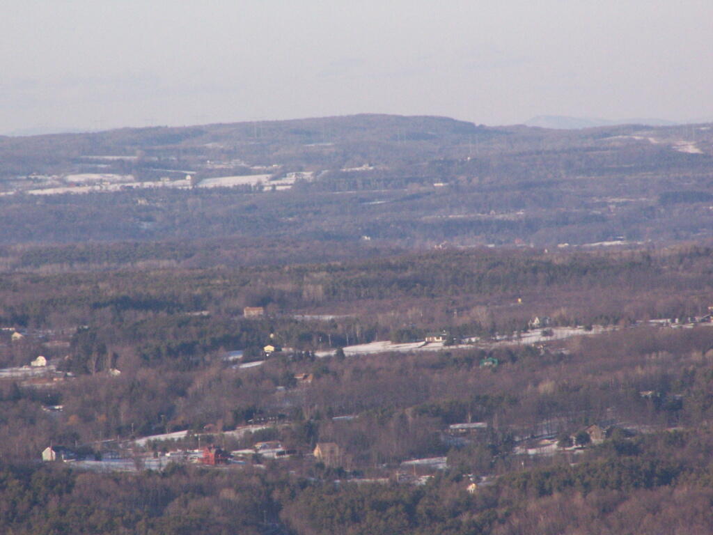
Looking down over the Altamont Fair Grounds.
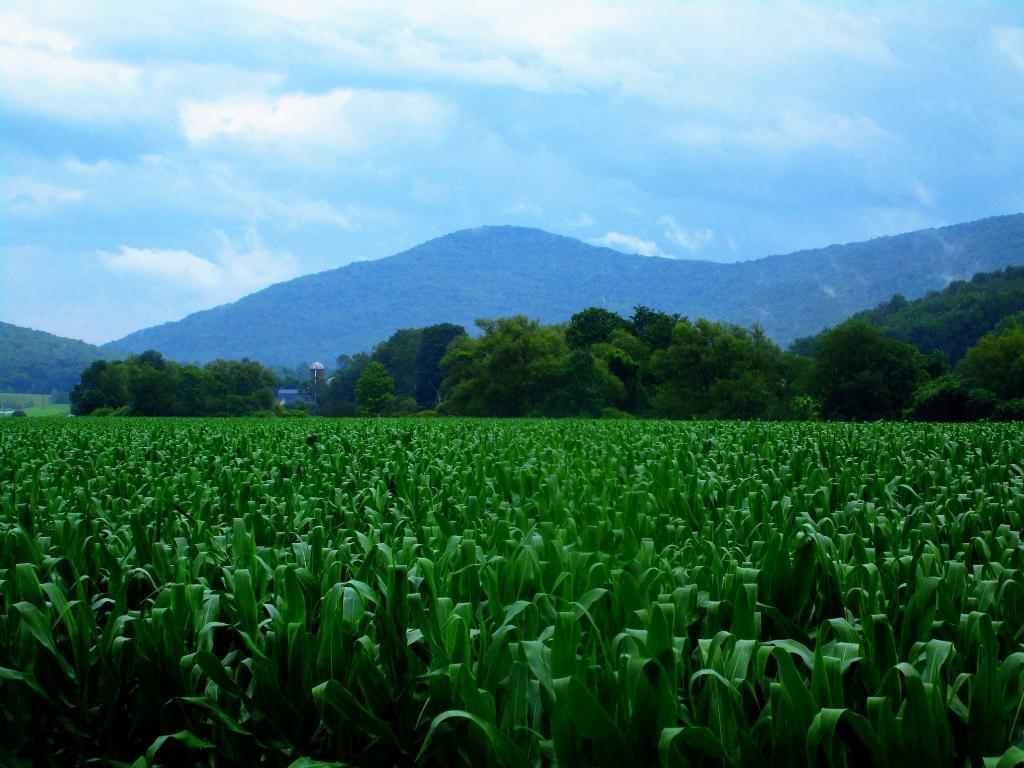
You could see the corn just starting to pop up along Brandle Road in Altamont from the overlook.
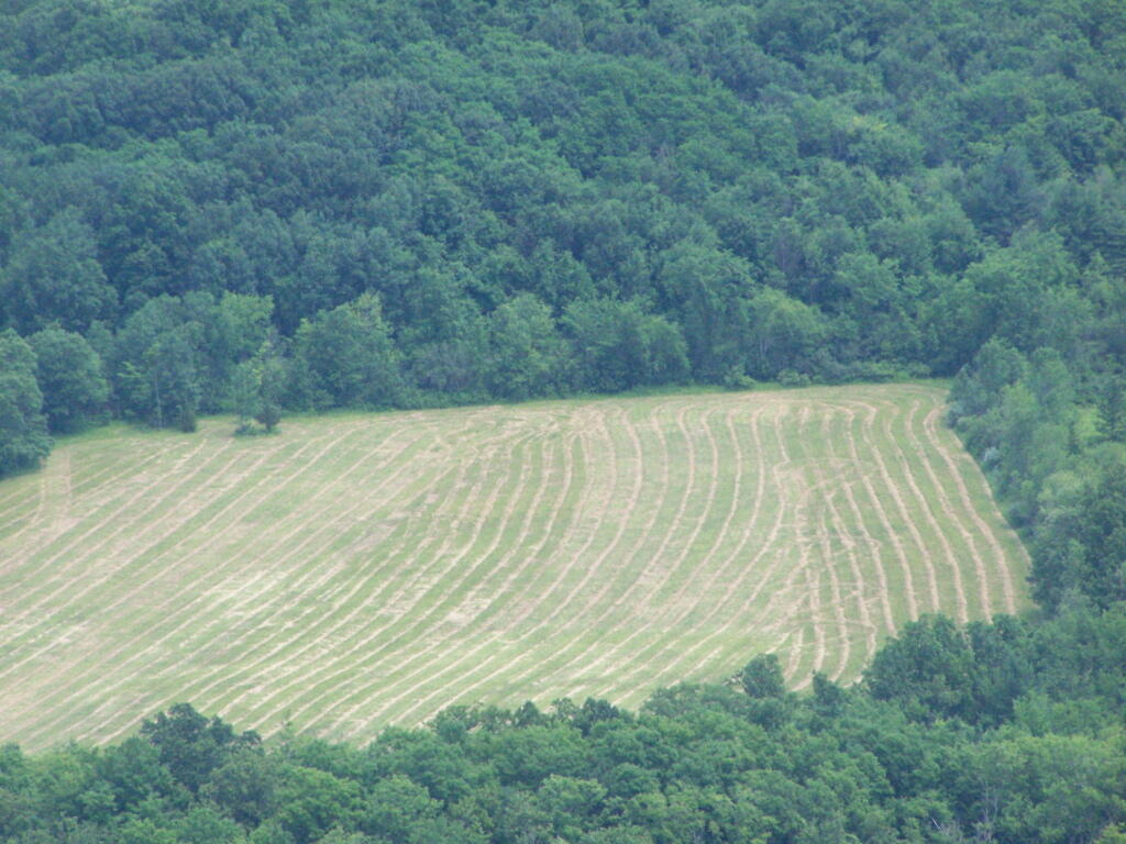
And where a farmer had just cut some fresh hay below.
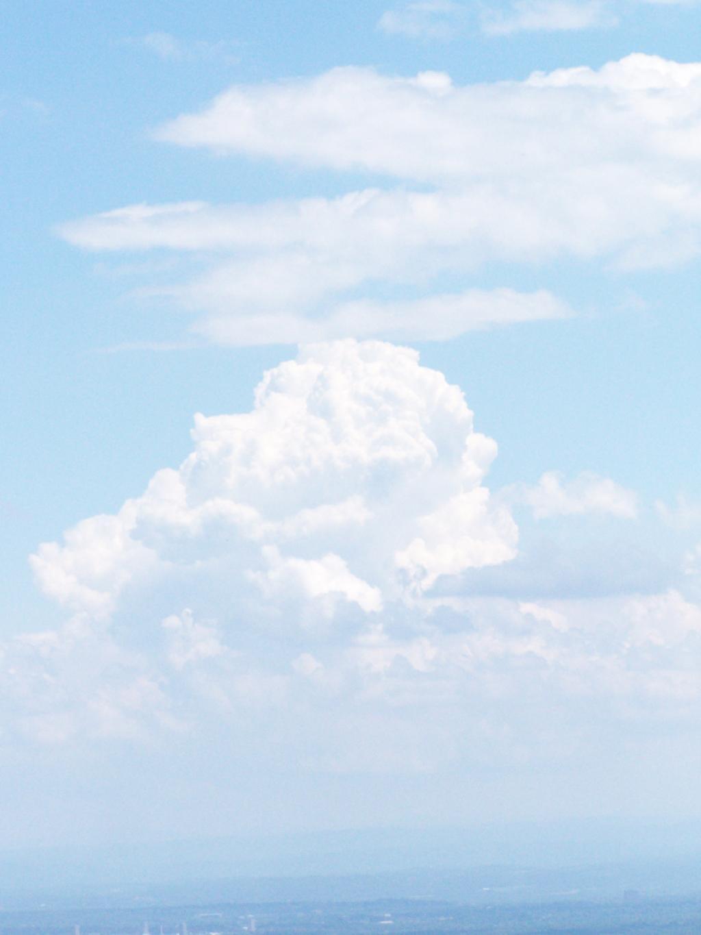
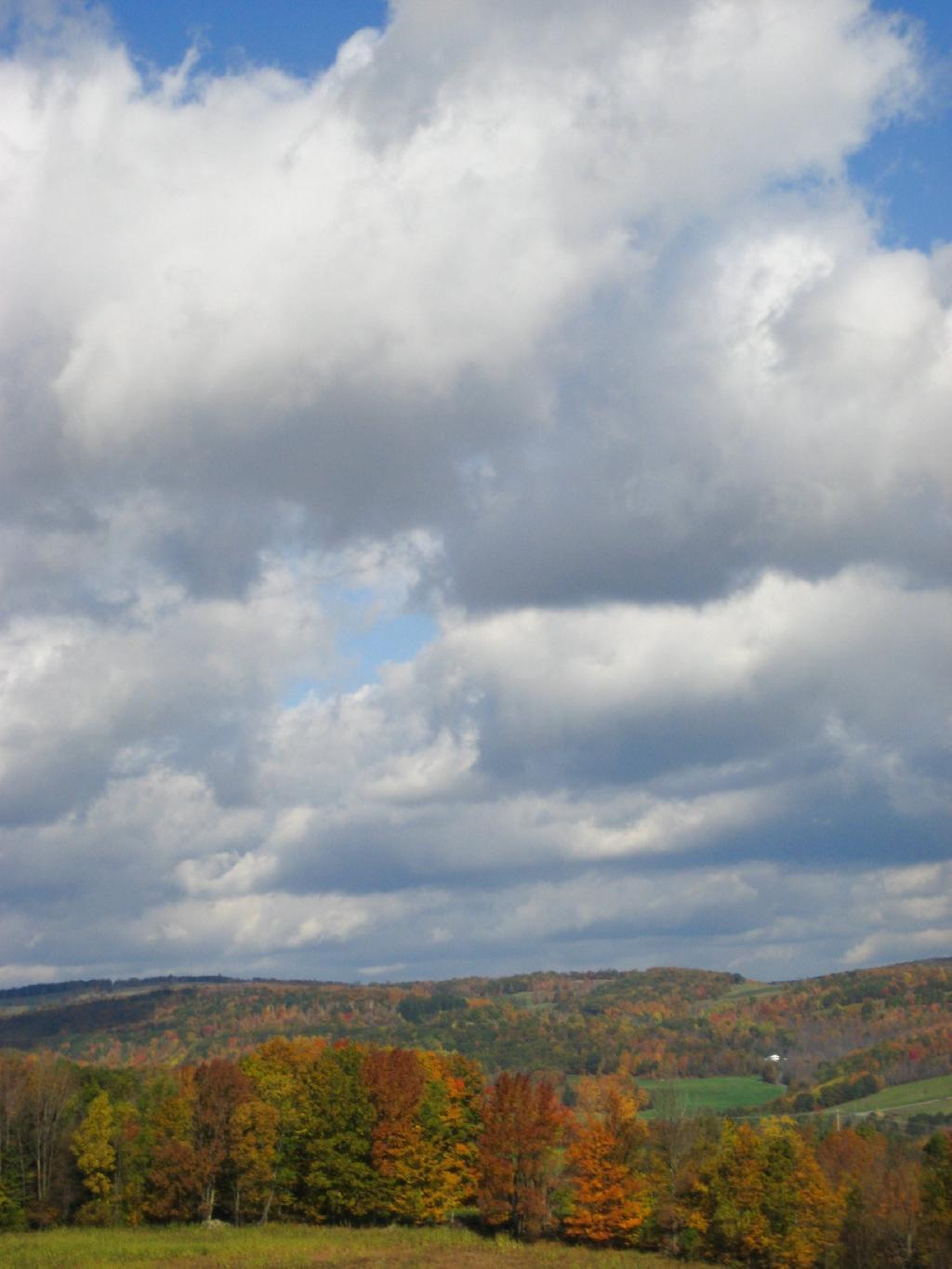
A pretty cloud.
Looking off High Point onto land below.
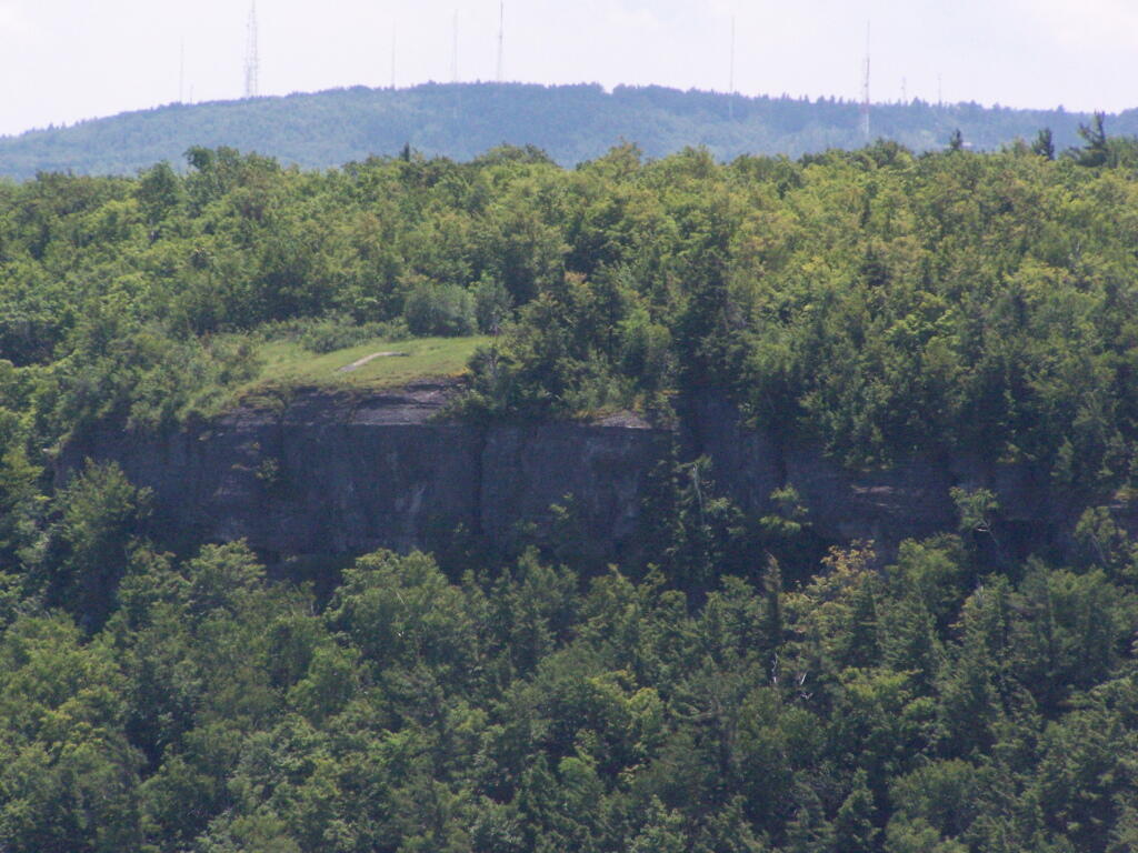
Hiked over to Hang Gliders’ Cliff.
View from the unmarked trail to Hang Glider’s Cliff.
A Hang Gliders’ Cliff.
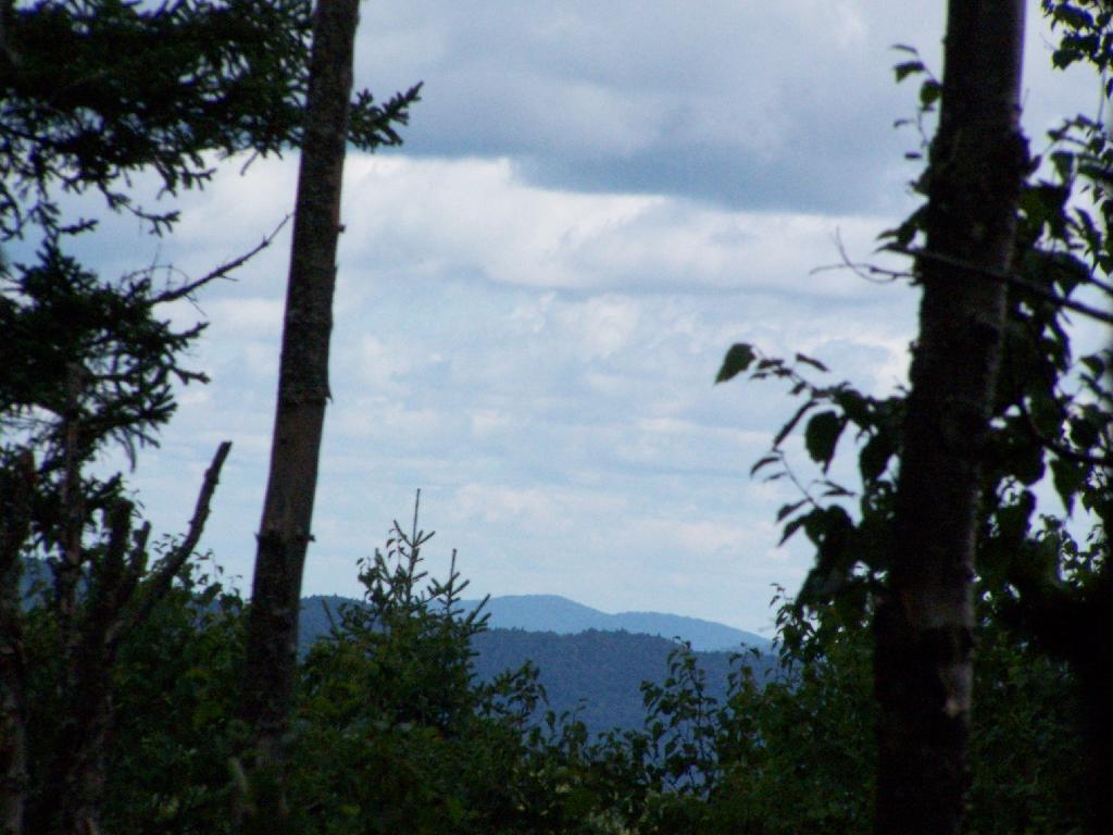
Low clouds hung out and over Settles Hill.
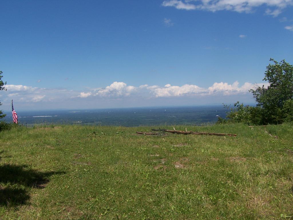
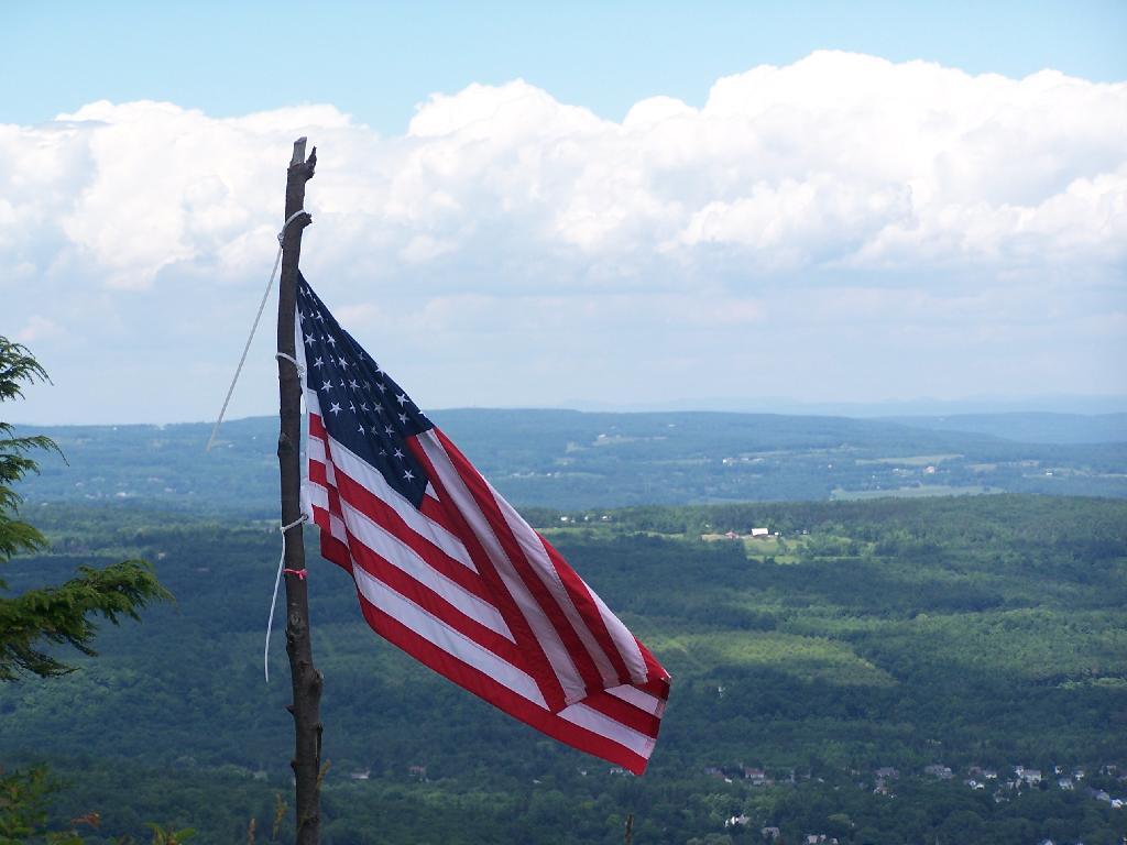
Somebody had hung a flag at Hang Gliders Cliff.
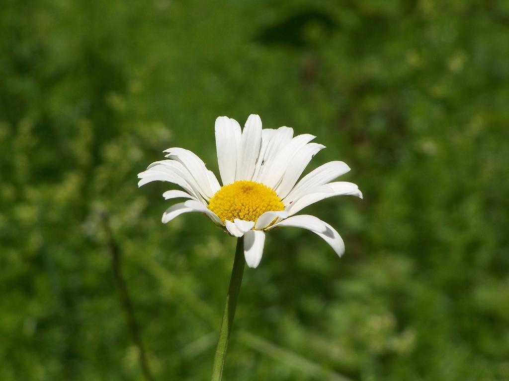
Hiking back to the pickup truck saw this cute little flower.
It was hot! Yet, it was nice to at least get out and do a lot of hiking during this very hot and humid weekend.
The Thatcher Park OSI Parcel with High Point and Hang Gliders Cliff have rapidly become one of my favorite local places to visit. It has replaced Partridge Run as a personal favorite, mainly because in addition to interesting woods to explore, it also has the Escarpment to look off.
The day when I went out hiking I had previously gone to the doctor with a horrible sinus infection. I was feeling pretty sick, but the bright blue skies just beckoned me to go outside and get some fresh air. So I donned my beat up old cowboy hat, took some Zyrtec and my antibiotics, and off I went.
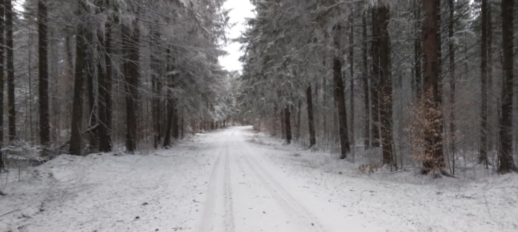
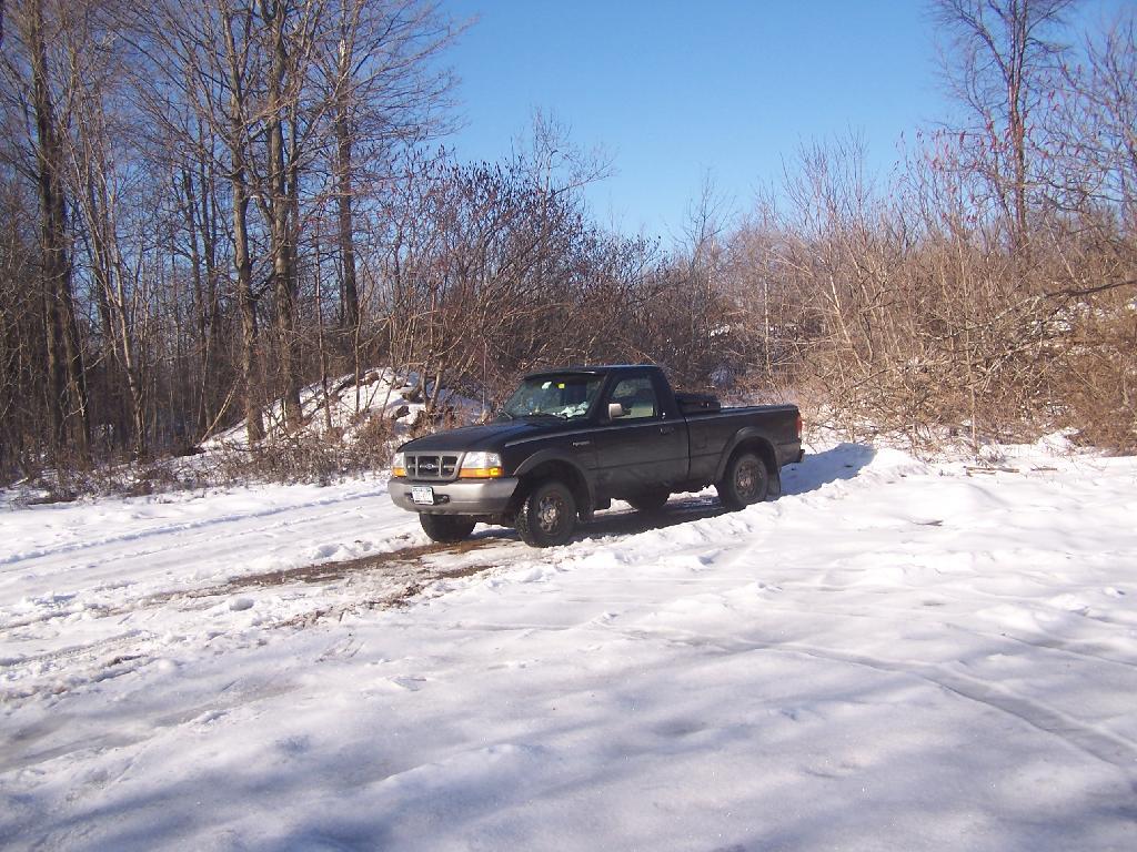
I didn’t plan on snowshoeing too far, so I decided to park up at the old Bluestone Quarry off of Carrick Road. Carrick Road was a sheet of ice, with about 2 inches of packed snow on it. Fortunately the Quarry had an area that was well plowed and it was a perfect place for me to park and not worry about getting my pickup stuck. Even with 4×4, I am so paranoid about such things these days.
The bright sun and the blue skies were so delightful. In winter, it seems like gray snowy weather is always the norm, and it’s rare to get a truly nice day for snowshoeing. On this particular day, there was not a cloud in the sky, and it could almost not have been much nicer.
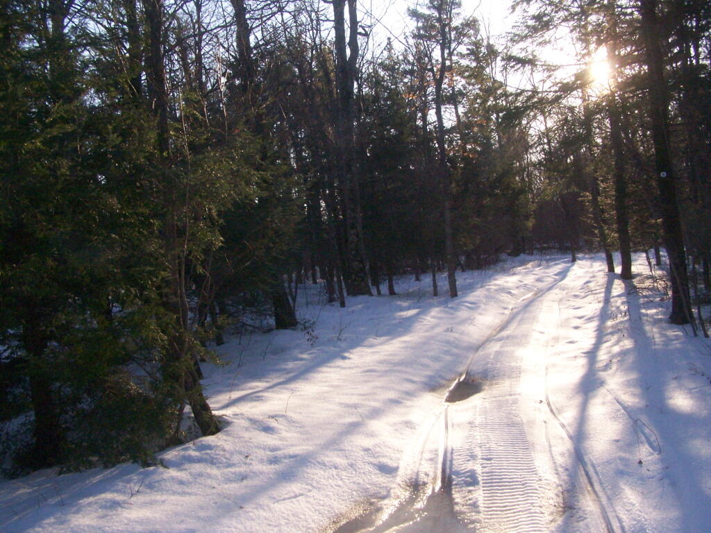
Here is the junction of the White Connector Trail and the Red Ski Loop which is multiplexed with the Long Path. This is only a short distance from High Point. The light and the weather was just so amazing on this afternoon.
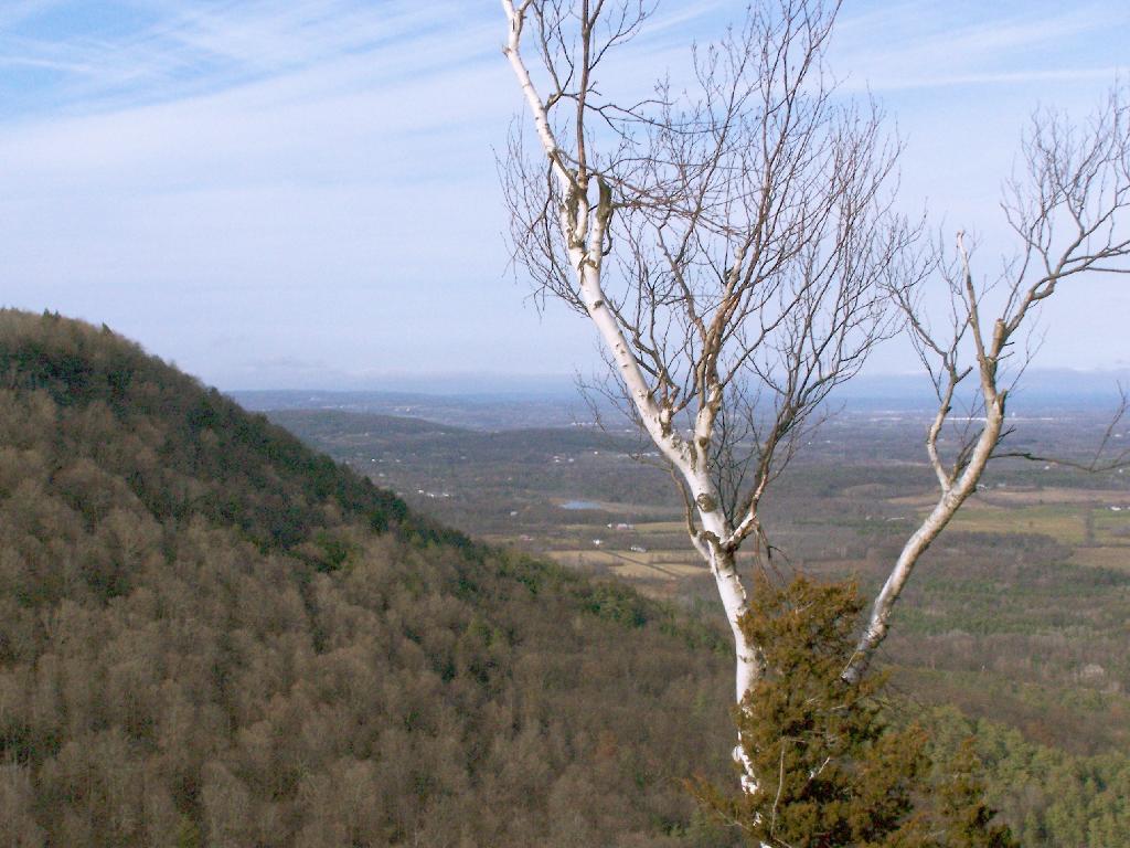
I hopped off the Red Ski Trail and took an old woods road to High Point. I had never been over this way before, and when I reached High Point from this angle, I almost didn’t even realize it was High Point, looking out through a clearing.
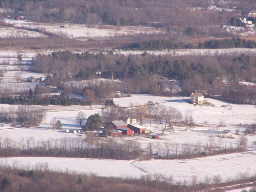
While I go up to High Point quite a bit, it is the first time I really noticed this classic looking farm in Guilderland with the barns and the house. Obviously, you can’t tell what kind of livestock they raise from this picture, but it is a very classic old farm house and old barns, probably from back when it was a dairy operation some time ago.
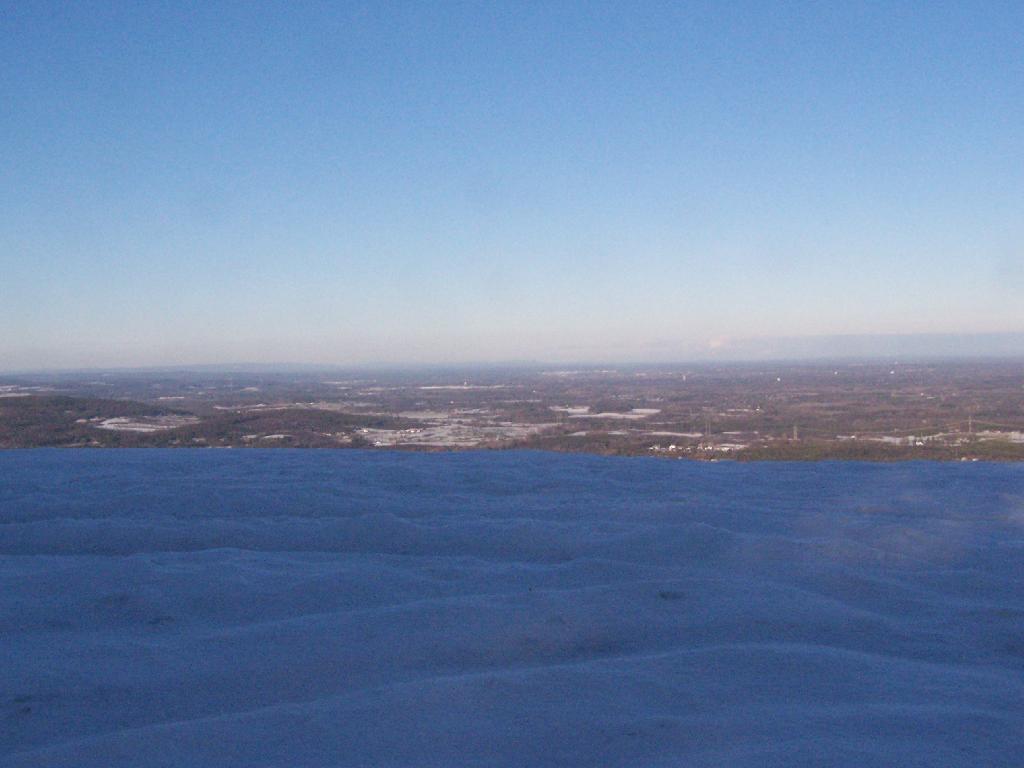
All of the sun and fresh air made me start to feel better so I snowshoed on south to Hang Gliders cliff. While I usually would take the unmarked escarpment trail all the way on over in the summer, I took for the first part the Long Path and cut over to the unmarked trail, to avoid the section that runs right along the edge. Here we are looking off Hang Gliders cliff, down into the valley.
Settles Hill can viewed from Hang Gliders Cliff quite well. I have always loved the look Settles Hill if only for it’s rolling nature and all of beautiful small farms up on it. Most of this country is still in the Town of Guilderland, although some is in Princetown.
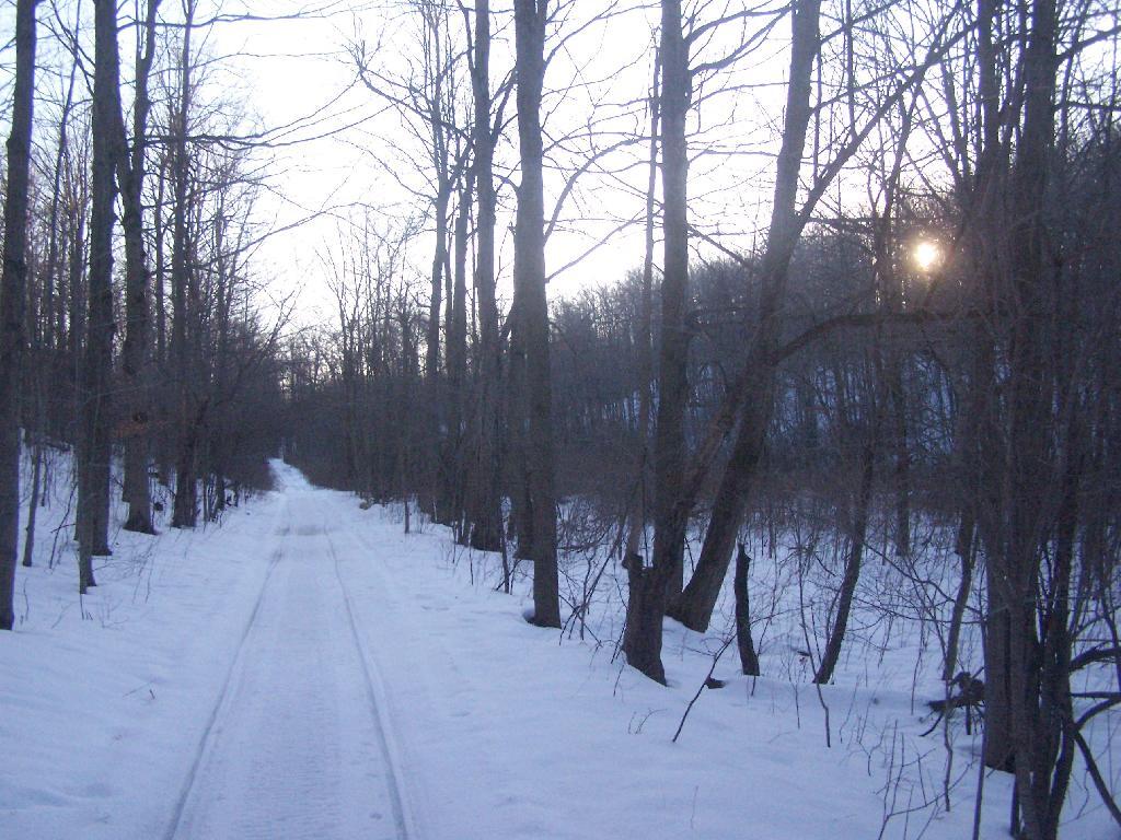
Snowshoeing along Hang Gliders Road. There was some icy patches and I passed a group of young kids snowmobiling, probably from one of the neighboring farms.
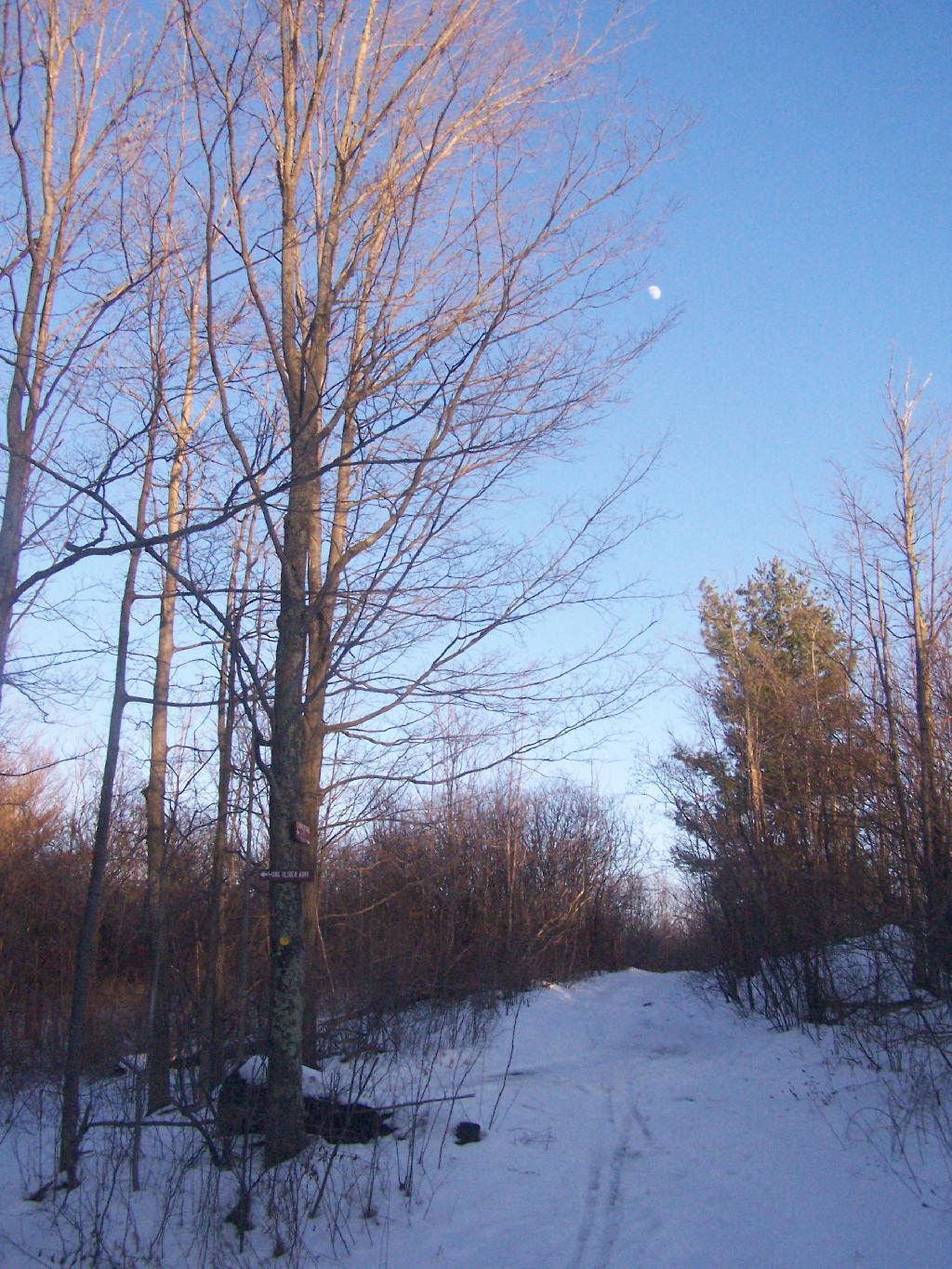
One of the things I don’t like about this time of year is the days are so short. That said, each and every day is getting a little longer, and twilight is now around 5 PM every night. In a month, the twilight will be much closer to 6 PM. Sunset was about 4:30 PM.
There was waxing crescent moon hiking back to the truck. Quite beautiful, as the sun set in the opposite direction. It made for a beautiful hike on back to my pickup, as I headed home for the day on this wonderful day.
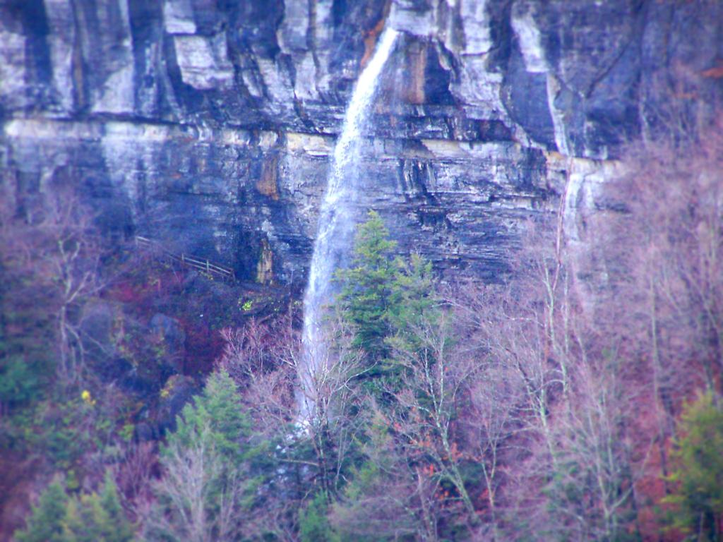
For my Sunday afternoon walk this afternoon I went up to Thatcher Park. It was 60 degrees out, and quite nice weather for late November. The previous day it had rained quite hard and water was coming out quite intensively from the Horseshoe Falls.
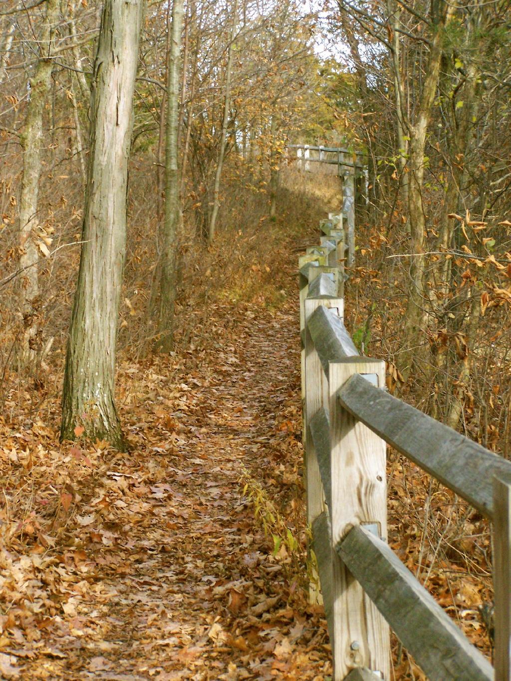
Walking along the fence line above the Escarpment on Horseshoe Clove.
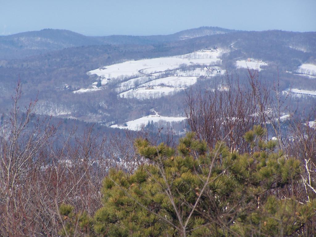
Looking south and at rather gray landscape off Thatcher Park.
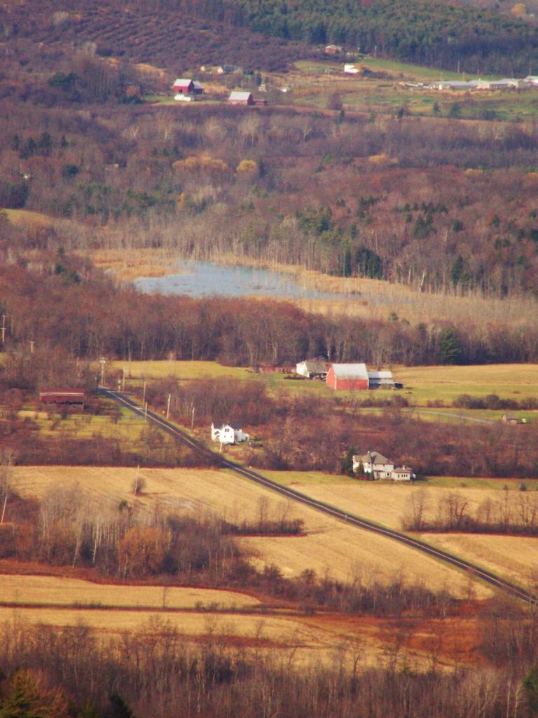
Farms outside of Altamont in the fall without the leaves.
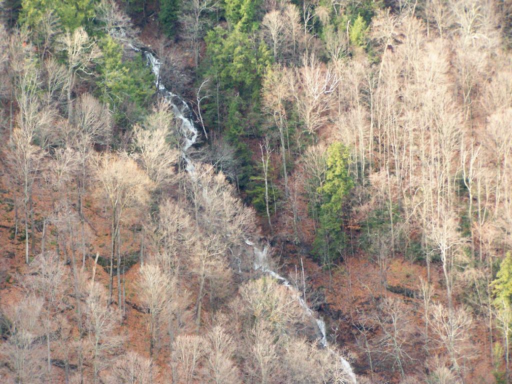
A stream of water coming north out of an upper clove.
Ashokan High Point is a mountain overlooking West Shokan and the Ashokan Reservoir, however due to trees the views to the east are limited. It is reached from a parking lot off of Ulster County Route 42, a windy low-speed road that lacks guardrail protection.
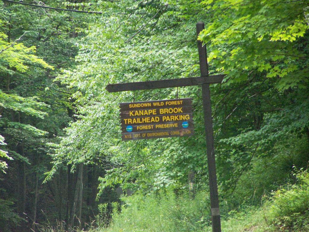
I visited this after doing Red Hill Fire Tower in another section of the Sundown Wild Forest, some 15 miles to the west (30 miles via road).
The first two miles up the trail is up an old woods road, that is relatively flat and a pleasurable walk along the Kanape Brook and in a deep clove between Ashokan High Point and Mombaccus Mountain.
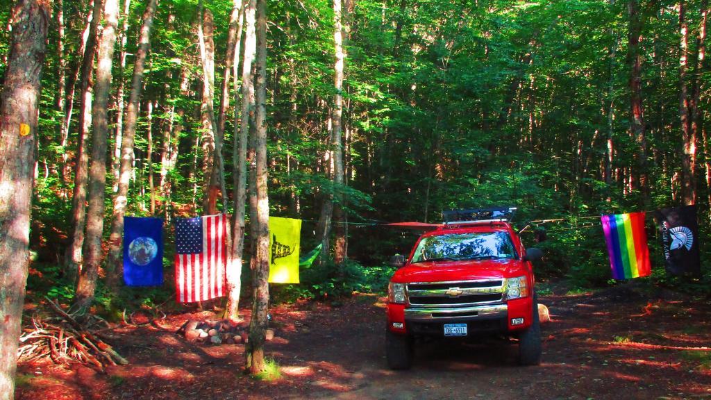
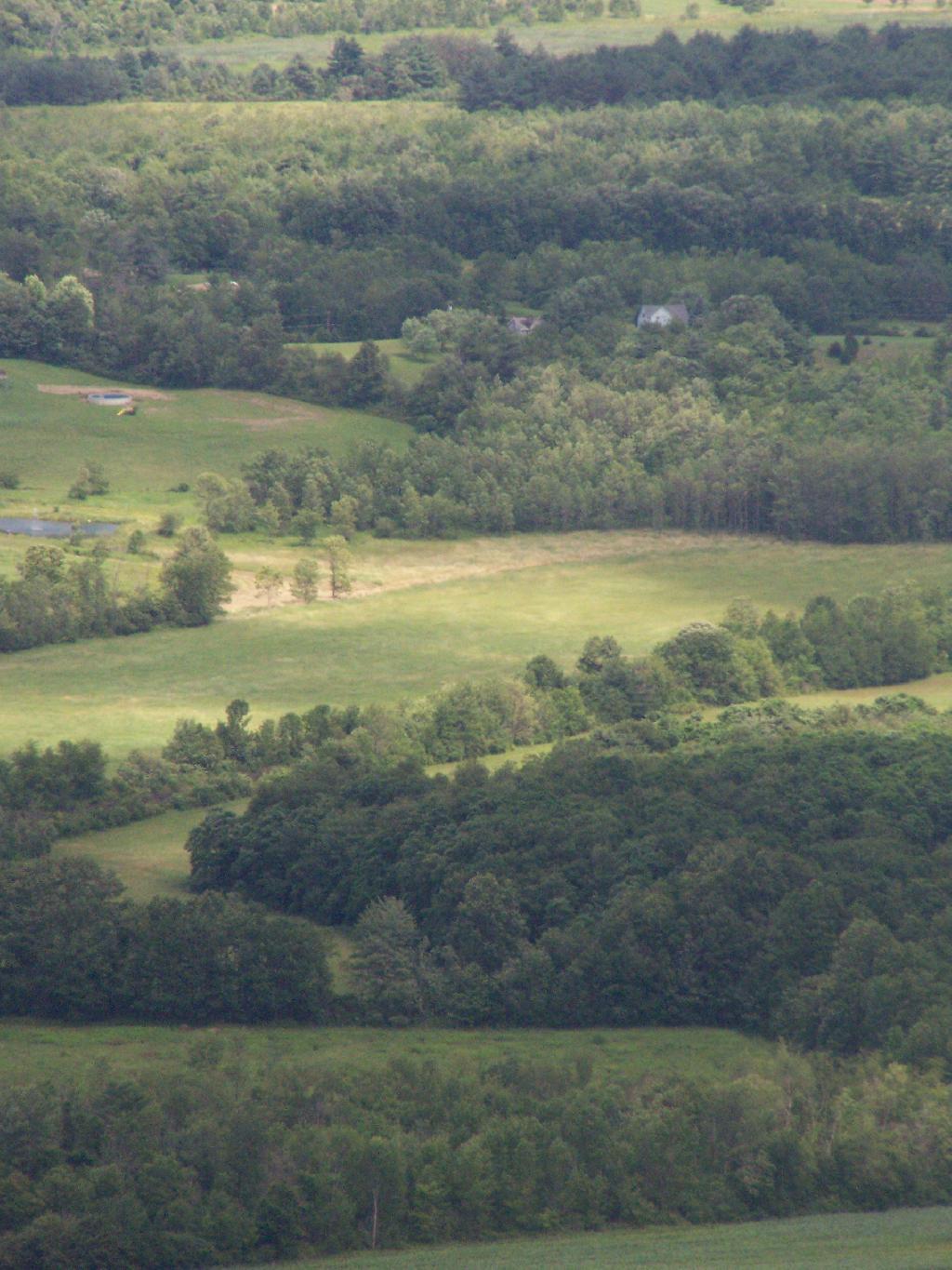
After you walk about a mile or maybe 45 minutes, you arrive at this nice little campsite right near the brook and the trail. It’s in a field, but has limited light for big portions of the day because the clove is so deep.
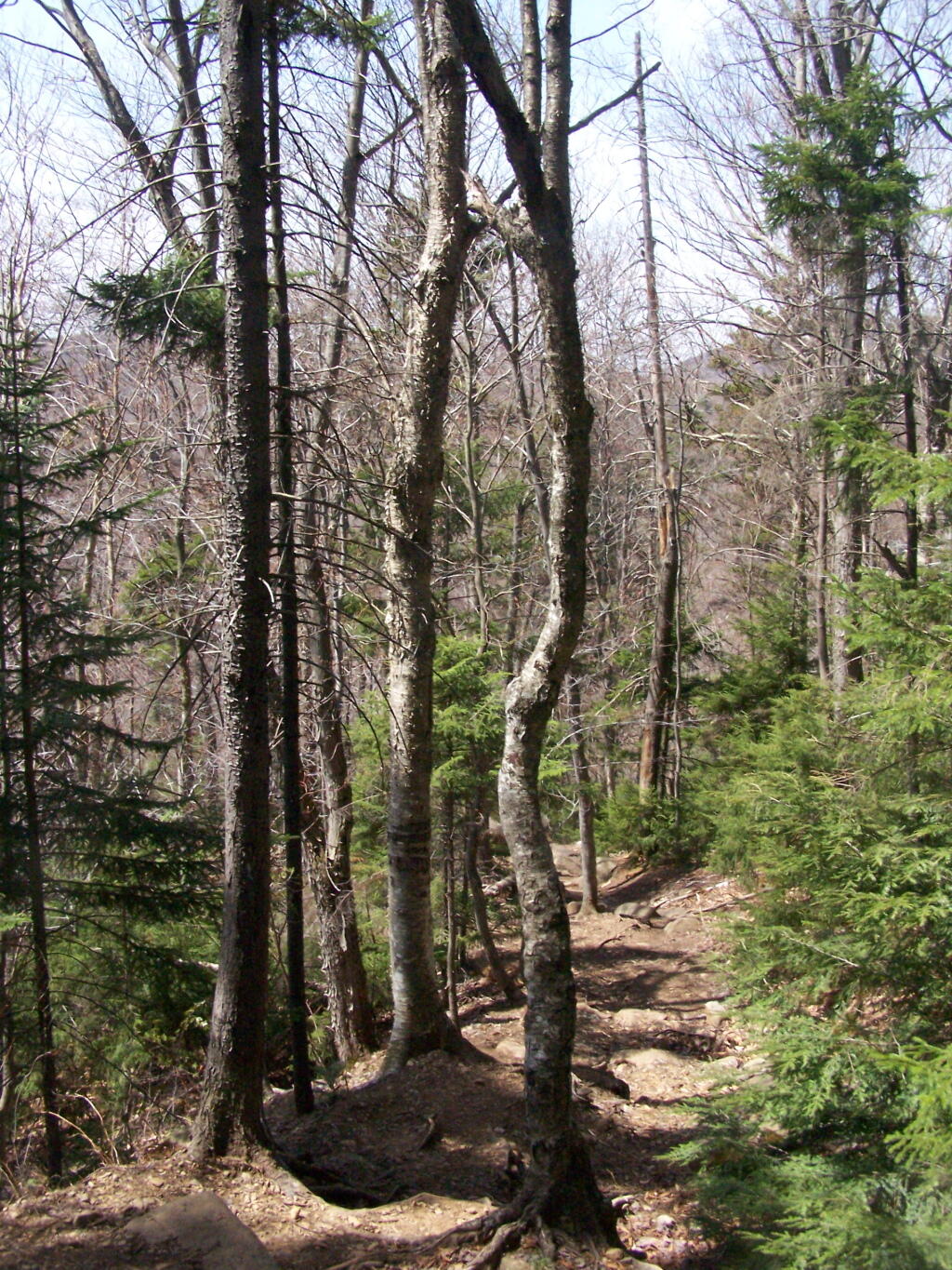
The trail seems a bit long at times, but this is the kind of delightful walking you experience. Markers are sparse along this section of trail, but if your following the old woods road it’s easier to follow.
You then reach the sharp turn off the old woods road, to where the trail splits to the upper loop. As you can see, the turn is well marked.From here on out, you gain about 1,000 feet over the next one mile. It’s quite a bit steeper, but nothing is hands and knees hiking.
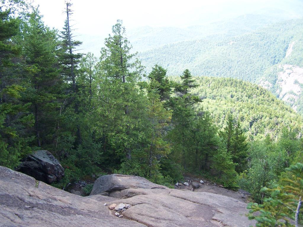
As you start to do some serious climbing, you get partial views to the west.
And the trail gets steeper for the next 1/2 mile. They have put in several rock steps to make the climb a little bit easier. Nothing that couldn’t be made by a child or a pet though, and no scary views/ladders.
Once you are within a 1/4th mile to the top, you stop doing much climbing. If your caught in a storm, this rock offers some protection.
You’ve basically reached the top when you get this nice westerly view of Moccabus Mountain through the trees. You can stop over here, or continue to the top for better southernly views.
From the top, you have limited views looking south towards the Shawangunks, surrounded by trees. There supposedly is an unmarked trail you can take down to the “ledge” for 180 views. Without a good map, I decided not to proceed down to the ledge.
The Shawangunks, shrowed in haze. They are small compared to the Catskills but an interesting profile in the sky.
Along the top there is a trail that runs through a 1/2 mile of Blueberry fields. I was foruntate to be there when they where in season.
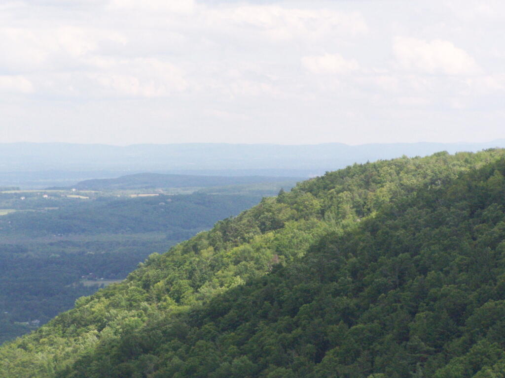
On the other side of the mountain, there is an informal campsite with fantastic views of the High Peaks Region of the Catskills.
The trail down the backside of the mountain is without views, and is less steep but much longer, and winds up and down a few ridges. Nothing really worth visiting — go back the way you came.
You return back to where the loop splits, and return back the trail you took up. It’s a 7.5 mile hike total, but a relatively easy one that you can do in a few hours in an afternoon, and not be totally exhausted.
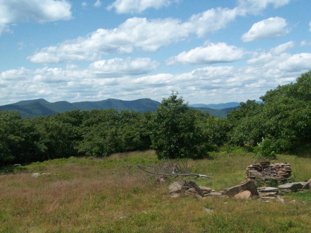
On July 4th, I decided to go for a walk up to Thatcher Park/OSI parcel to check out the cliffs once again now that we are fully in the summer season with all of the grass out a bright green color.
High Point and Beyond.
Corn growing along Gardner Road.
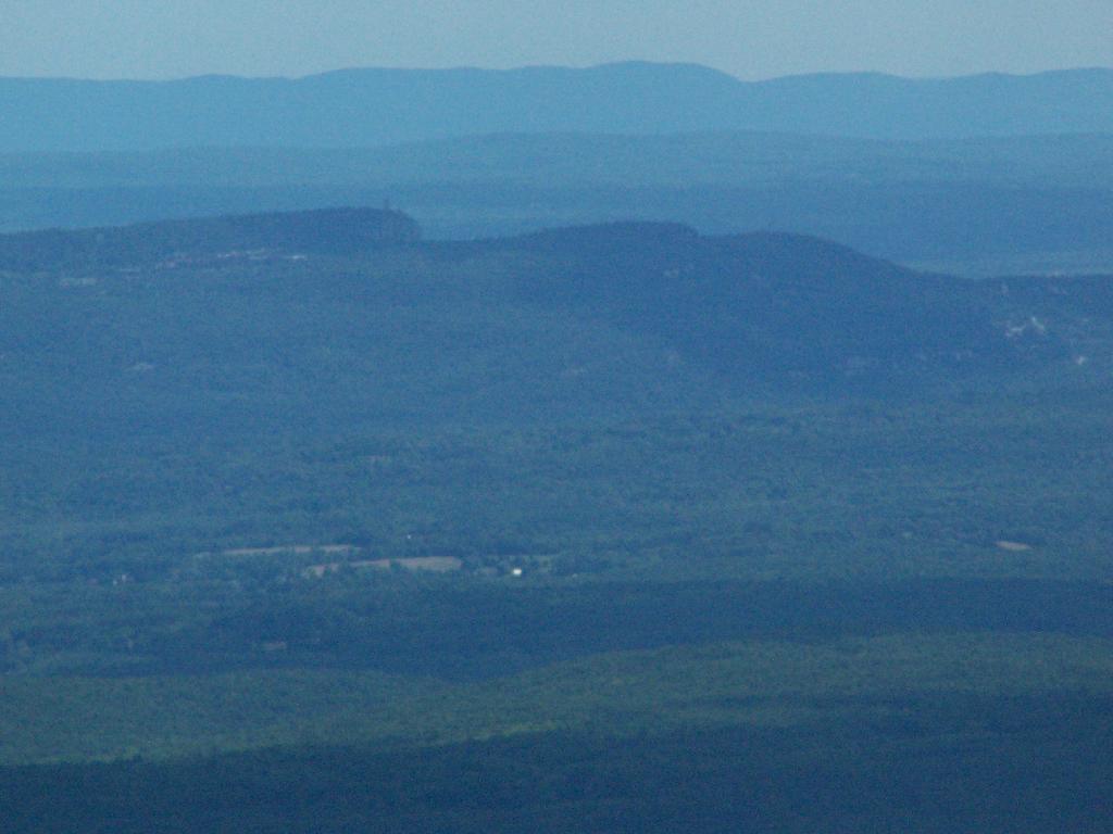
Light and dark landscapes off High Point.
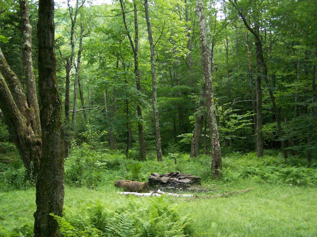
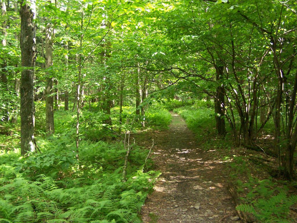
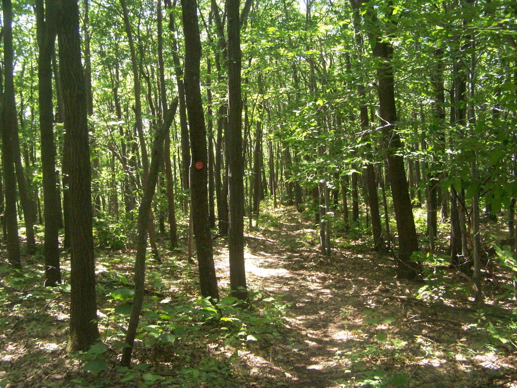
The trail passes several meadows and open areas.
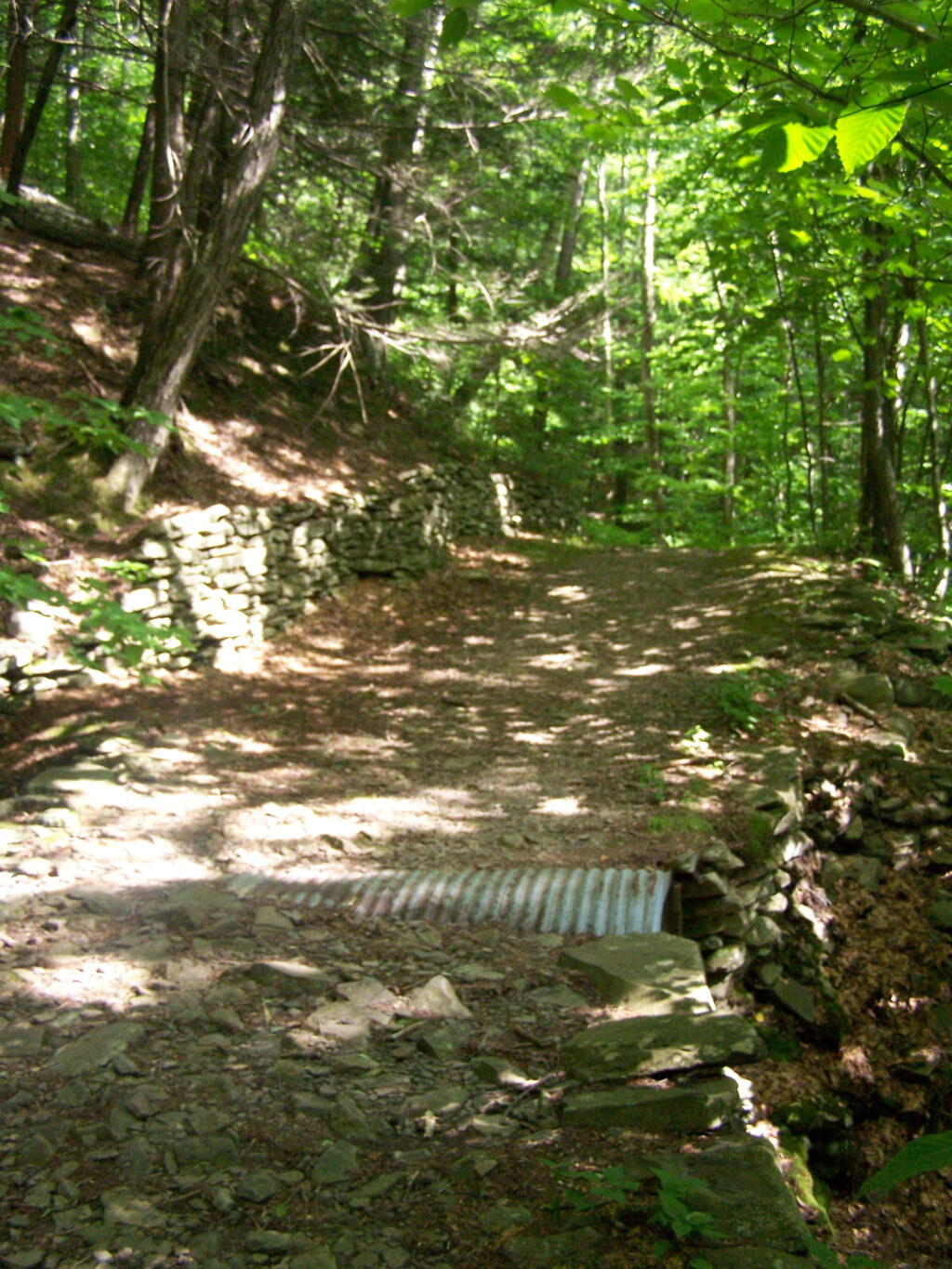
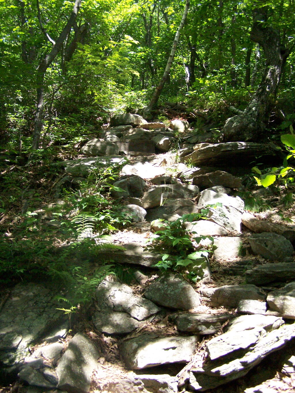
The old query with some interesting rocks stacked up.
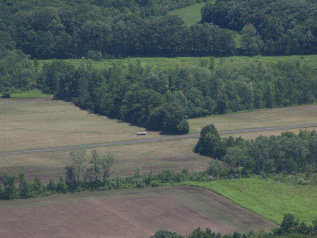
The trail when it follows hedgerows in farm fields.