Back in my college days I used to either ride my bike or drive up in the pickup to Point Au Roche State Park, which is located about 8 miles from Plattsburgh. It has fantastic views of Lake Champlain, and on less humid days, some great views of the Adirondack Mountains.
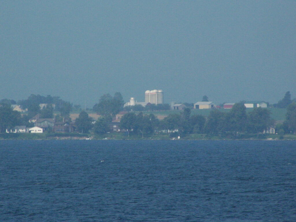
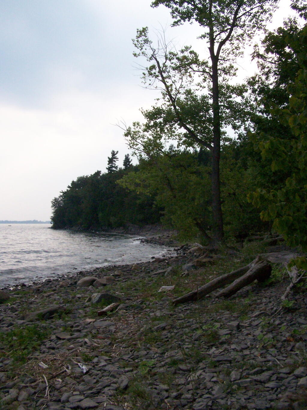
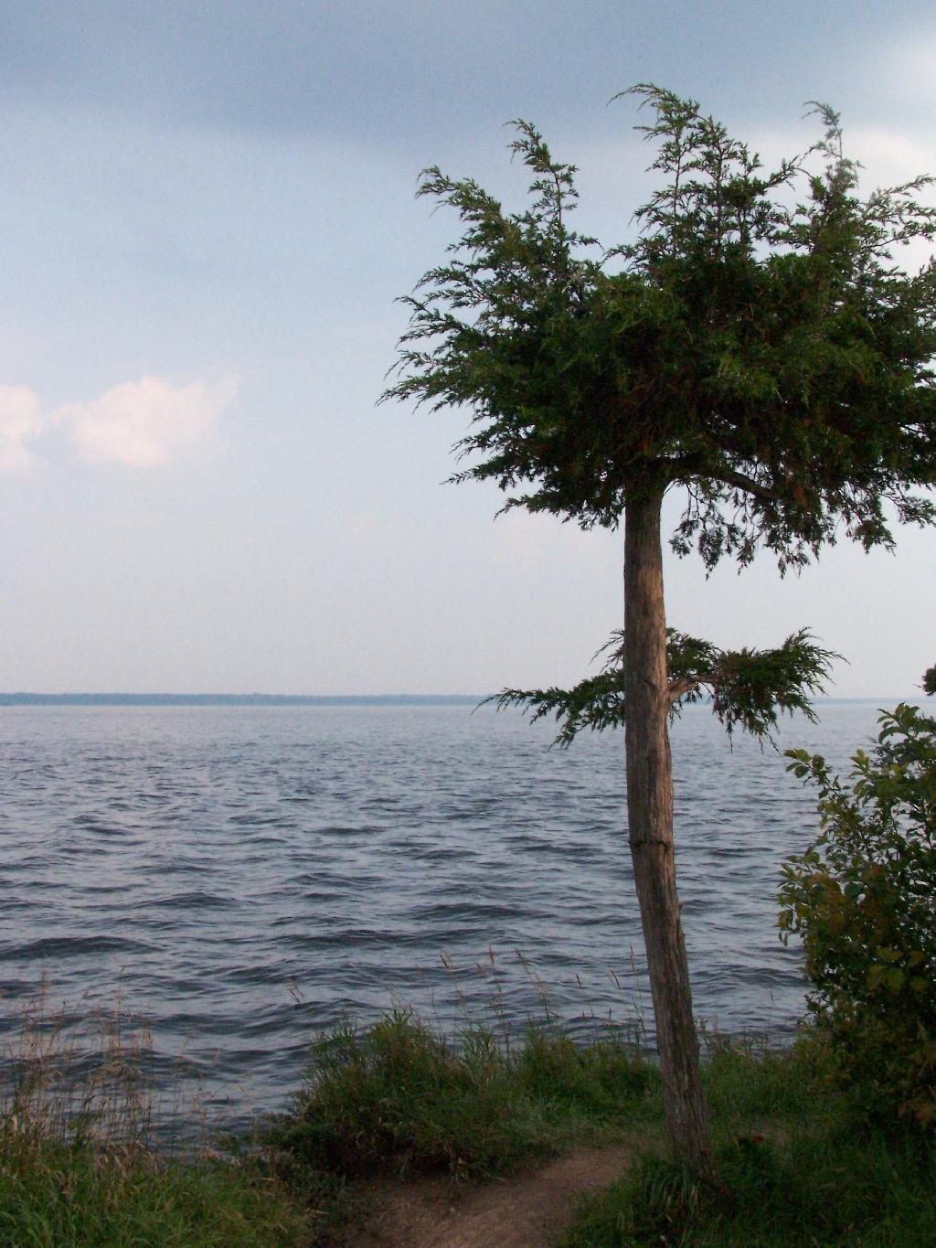
I went for a walk out along Long Point on Sunday Night and Monday morning. It was amazing to come back to the place which I so much remember from when I was back in college. The only difference I noticed was the wind turbines you could see on Rand Hill, just barely through the evening haze.
When I went for the walk this night, it was very hazy and hot. It wasn’t raining, but from the amount of fog and humidity you might not have guess it.
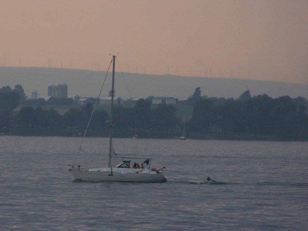
The next morning was almost as hazy and hot and humid, but with some nicer views.
Back when I was in college, I used to drive back and forth between Plattsburgh and Albany a lot. I used to try a variety of routes, some more indirect then others, to see the scenery, especially when I had extra time to burn in the afternoon.
1) Via the Adirondack Northway.
The most direct and quick way is via the Adirondack Northway (I-87) all the way up.
This route is moderately fast. There is some spectular secenry along NY 22 as you head from Whitehall to Ticonderoga, with sweeping views of Lake Champlain.
I quite often would take this route over the old Lake Champlain Bridge when I wanted to visit Burlington. The old bridge was beautiful, as is the landscape after you cross into Vermont. Burlington is an amazingly nice city too.
I used to come back via Burlington some times, by taking VT 22A through the dairy country of southern Vermont. The land is pretty flat, and VT 22A, but there are still some amazing views of the Adirondack Mountains along this route.
I was wondering how big the New York City-metro area is compared to other regions in our state. What does New York City-metro area look like compared to Albany County, the Plattsburgh and North Country-area, and the Ithaca-Watkins Glen Finger Lakes-area?
All of these maps are exactly the same scale, 75 pixels per 5 miles of real land below it. You can visually compare the size with these maps, and look at urban density and farm uses, via the color of the land below. It will not display in the RSS feed or Facebook, so view at andyarthur.org.
New York City-Metro Area.
This map includes part of Westchester County and Nassau County, but gives you an idea of the size of the metropolitan area that is most associated with what people think of when they think of NYC. Not all of this area is highly urbanized, much of the surrounding area that appears with higher levels of green is suburbs.
As you can see the New York City metro area would cover all of Albany County, plus significant portions of Northern Greene and Eastern Schoharie County. You could easily fit Albany and Schenectady within the borders of New York City, along with surrounding suburbs. NYC is not only populous, it’s also fairly big.
Clinton County is much larger and rural then Albany County and New York City. There is relatively less of Essex and Franklin County in this map then there is Westchester and Nassau County in the NYC-metro map. Even Albany County appears small compared to Clinton County. Notice the darkness of the highly-forested Adirondack Park, and the light green of the fertile Champlain Valley farmlands.
This map shows Ithaca and Watkins Glen. You can see the public forest lands and pastures of the Finger Lakes National Forest, Sugar Hill State Forest, Ithaca, and Watkins Glen. You go into the Allegany Mountains in the south and in the north the sloped landscape that is the norm of the Finger Lakes.
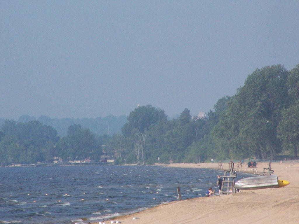
The first night of my vacation it was very hot and sticky out. By the time I had reached Plattsburgh I decided I would just find a campsite at Cumberland Head State Park. I probably could have gone to a nicer state park, such as Malcom Reservation or AuSable Point, but I wanted to be close to Plattsburgh and spend a lot of time visiting old haunts in the town and up at Point Au Roche.
Once I got there I dug out my swimming truck, and ran for the swimming beach, as I was hot! Driving up from Albany in all the heat and humidity, I got a terrible sunburn through the windows of my truck. I also don’t have air conditioning, and the humidity was pretty extreme on this Sunday morning.
The water was nice. The campsites on Cumberland Head State Park are pretty close together, and are like camping in a giant field with a bunch of other people. I’m not a fan of state campgrounds at any rate, but it beat trying to hike up Pok-O-Moonshine and look out to nothing from the fire tower.
If you want cheap digs near the City of Plattsburgh, then you can’t beat Cumberland Head State Park. It’s only $15 a night, plus a $2.50 service charge for the first night, and is within a mile from downtown. The beach is nice, and when it’s not so damn hazy, the view of the mountains is amazing. That said, I’m not a fan of state parks, especially the “extreme enforcement” of quiet hours, but those showers are nice in such hot weather.