The Adirondack Park is a publicly protected, elliptical area encompassing much of the northeastern lobe of Upstate New York. It is the largest park and the largest state-level protected area in the contiguous United States, and the largest National Historic Landmark. The park covers some 6.1 million acres (2.5×10⁶ ha), a land area roughly the size of Vermont and greater than the National Parks of Yellowstone, Yosemite, Grand Canyon, Glacier, and Great Smoky Mountains combined.
The Adirondack Park boundary, commonly referred to as the ‘Blue Line,’ contains the entire Adirondack Mountain range, as well as some surrounding areas, all within the state of New York. The park includes all of Hamilton and Essex counties, as well as considerable portions of Clinton, Franklin, Fulton, Herkimer, St. Lawrence, and Warren counties and small portions of Lewis, Oneida, Saratoga, and Washington counties as well. (The Clinton County towns of Altona and Dannemora, despite being entirely within the park boundary, are specifically excluded from the park by statute, due to the large prison facilities in both towns.)
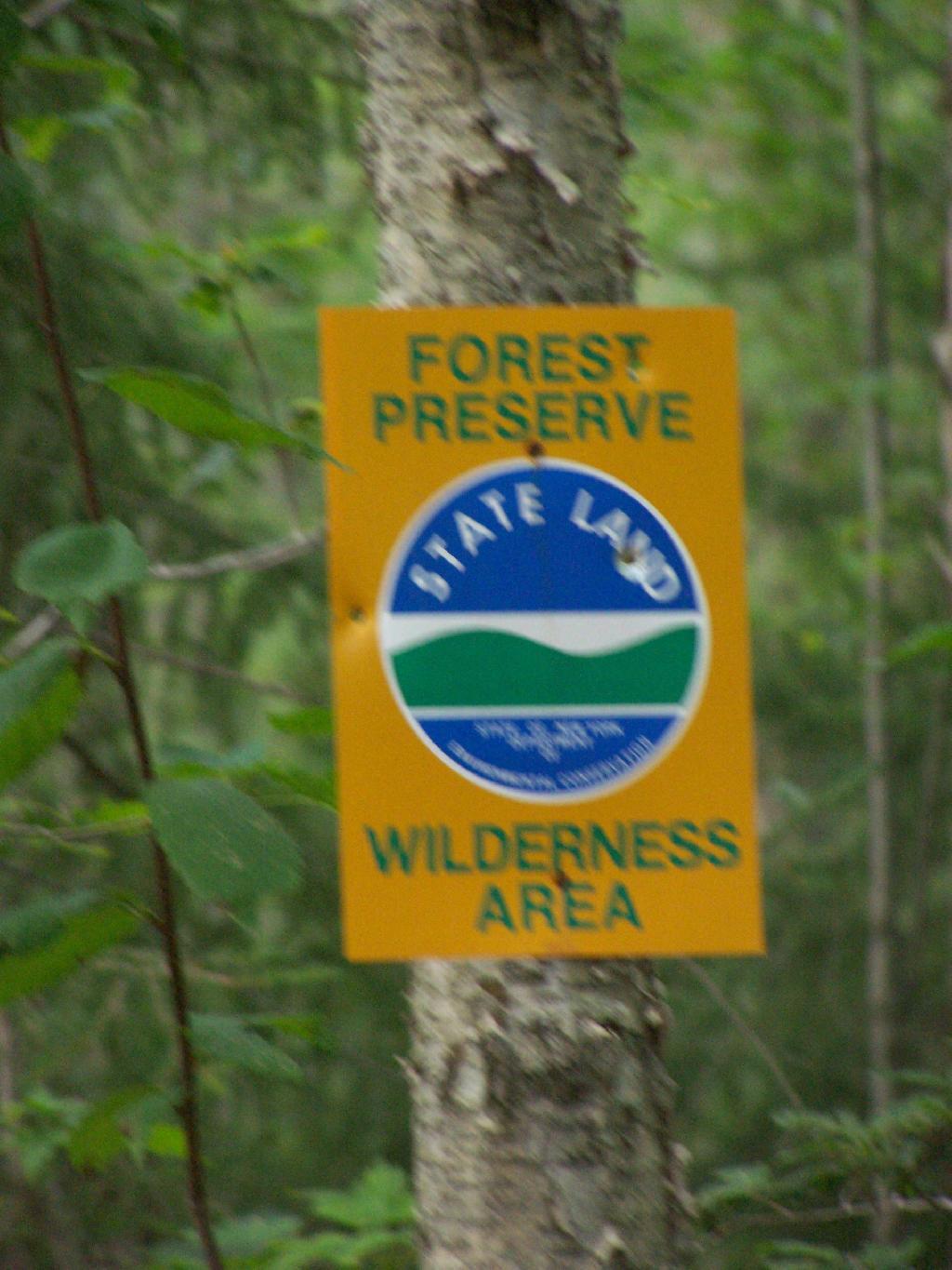
Not all of the land within the park is owned by the state, although new sections are frequently purchased or donated. State land comprises 2.7 million acres (1.1×10⁶ ha), about 45% of the park’s area, including the highest peaks in New York State, as well as Mount Marcy, the highest elevation in the state. About 1 million acres (400,000 ha) of this is classified as wilderness, with most of the remainder managed under the somewhat less stringent wild forest classification. Villages and hamlets comprise less than 1% of the area of the park; the remaining area of more than 3 million acres (1.2×10⁶ ha) is privately held but is generally sparsely developed.[3] There is often no clear demarcation between state, private, and wilderness lands in the park. Signs marking the Adirondack Park boundary can be found on most of the major roads in the region, but there are no entrance gates and no admission fee.
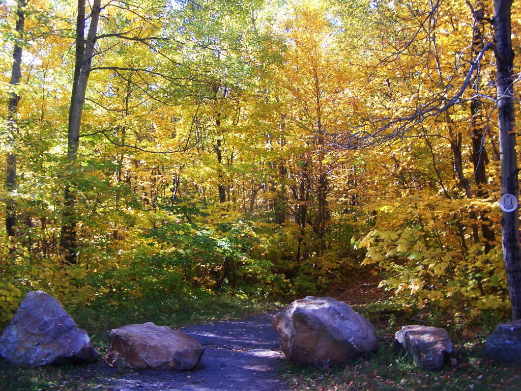
Last October I went for a hike up Lyon Mountain. The first 3/4 of a mile you can drive up to the parking lot, then from there, it’s a two mile hike to the summit, or about 3 miles if you take the new trail.
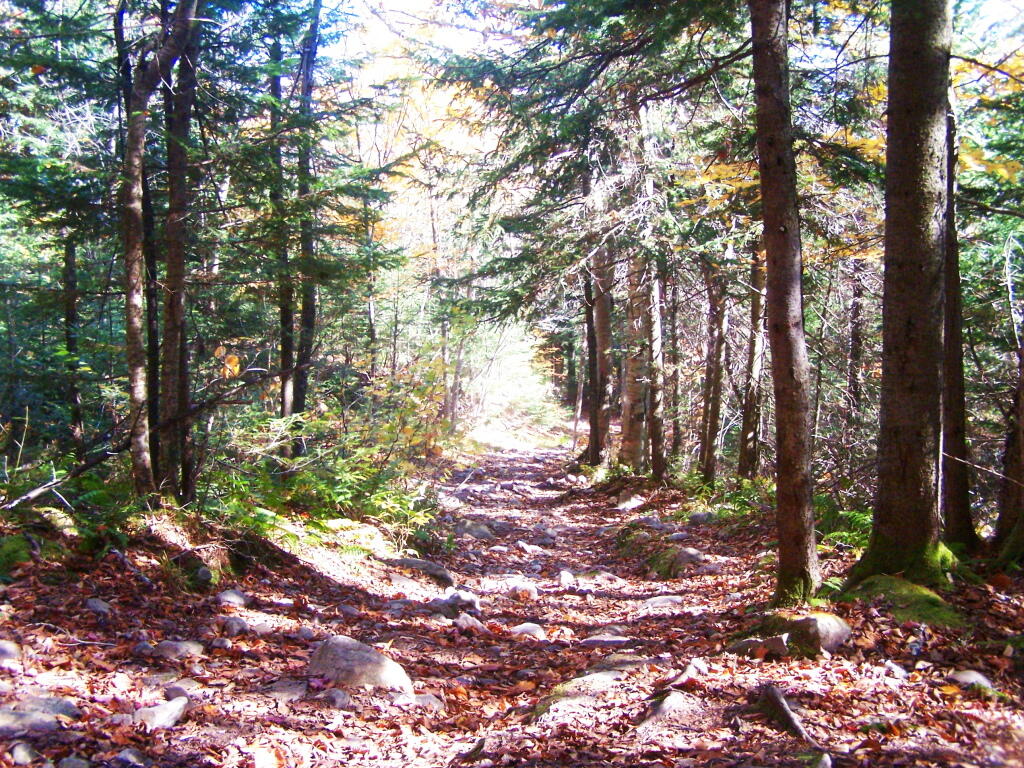
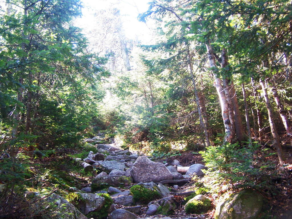
The old trail, following an old woods road is eroded and rough in places, but it well traveled as it much shorter. The new trail, being so twisty is not as well traveled, but it is far less steep and tends to be less wet in the spring time.
Heading up from the parking area, the first part of the trail follows the old trails route, before swinging left near a registration kiosk.
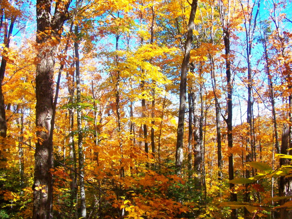
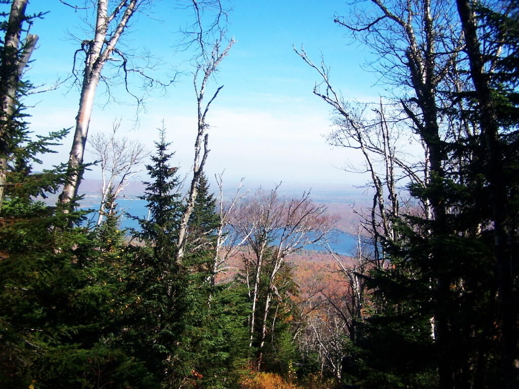
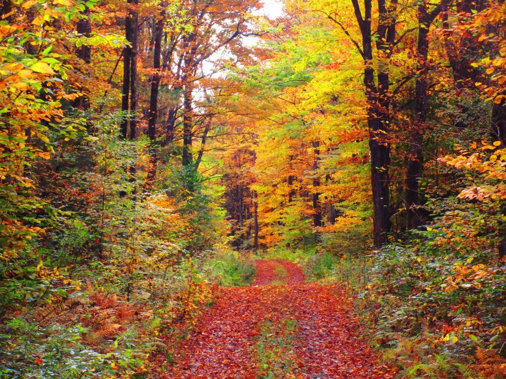
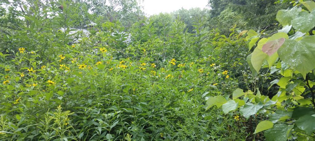
It was very colorful along the new trail as all the maples where at about peak color going up the mountain.
I decided to switch over from the new trail to the old trail, once I reached the point where the trails reached their closest point at the midpoint up the mountain.
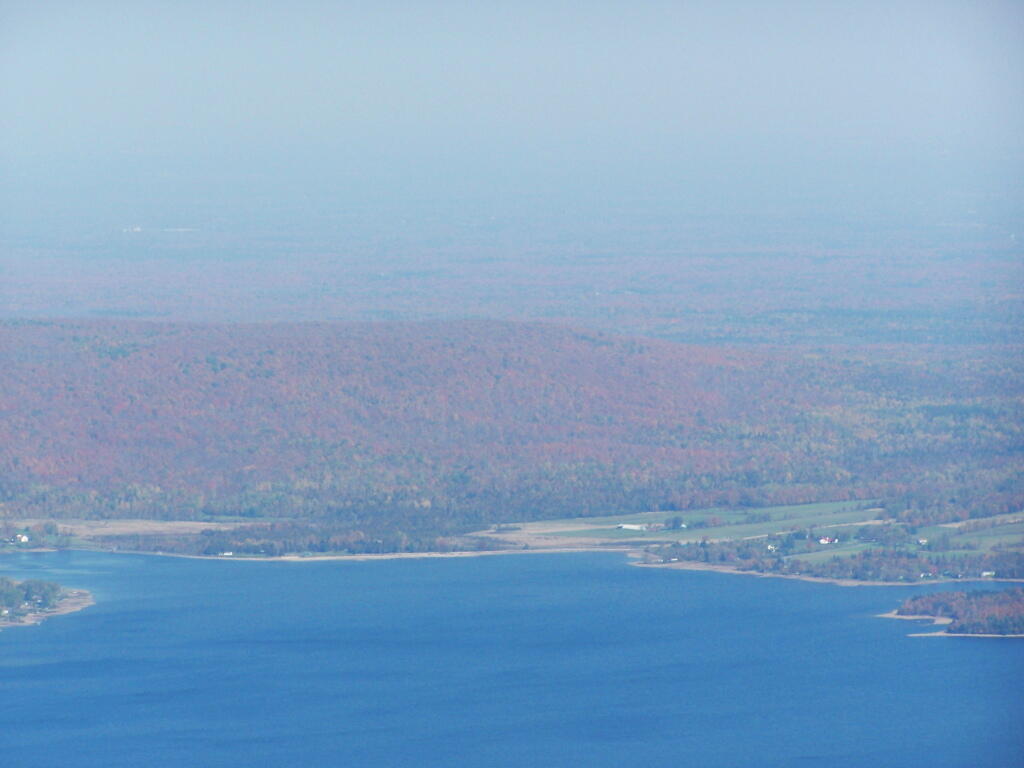
As you get about 2/3rds the way up the mountain, you can look back and see Lake Chazy.
The old trail certainly is eroded and in rough sape in some parts. You can understand why they re-routed it.
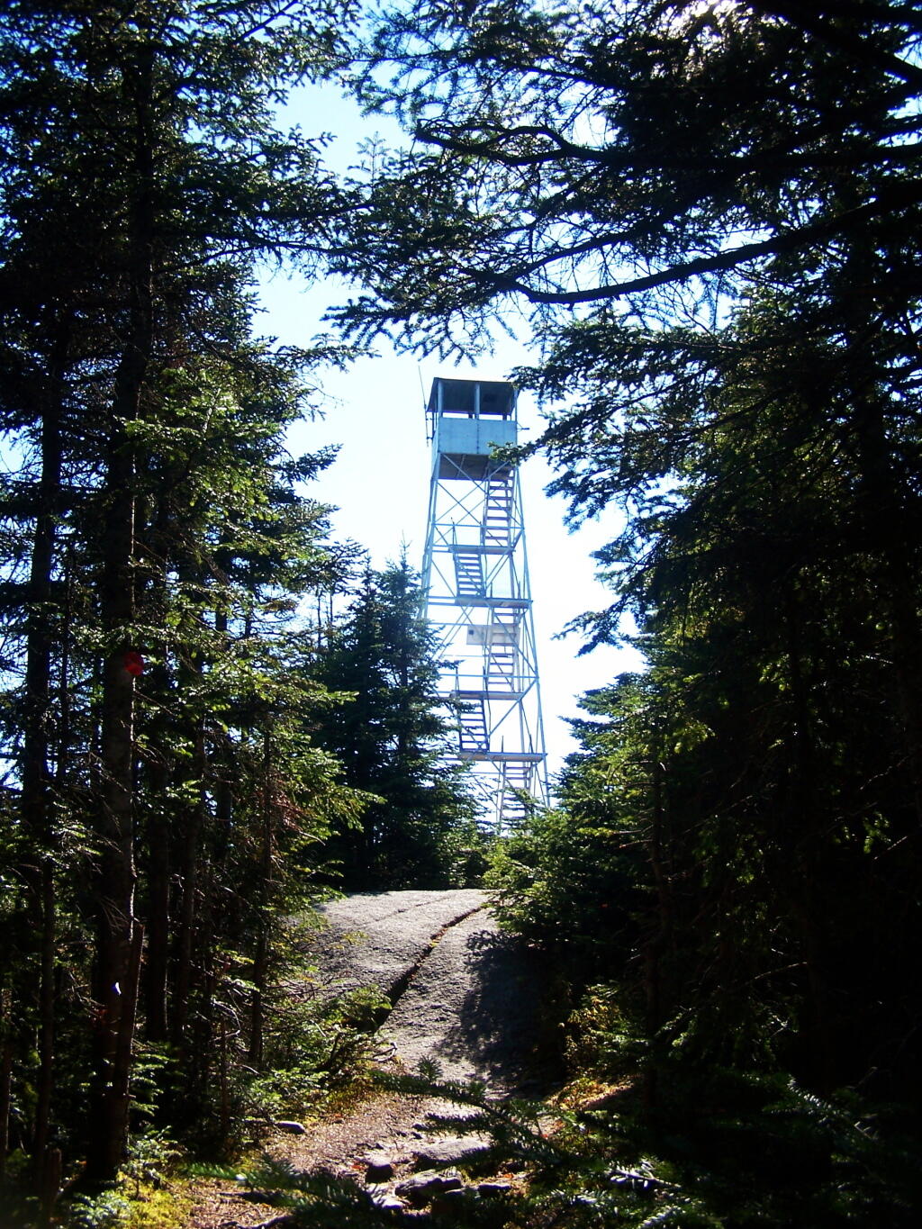
Ah, finally see the fire tower.
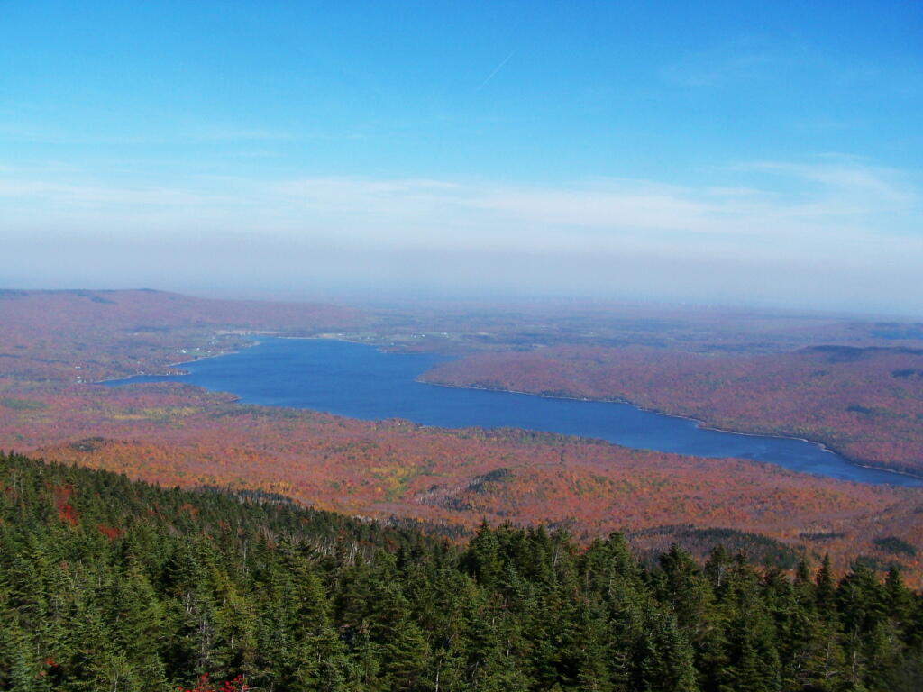
Hazy day, but there’s Lake Chazy and the farms along it.
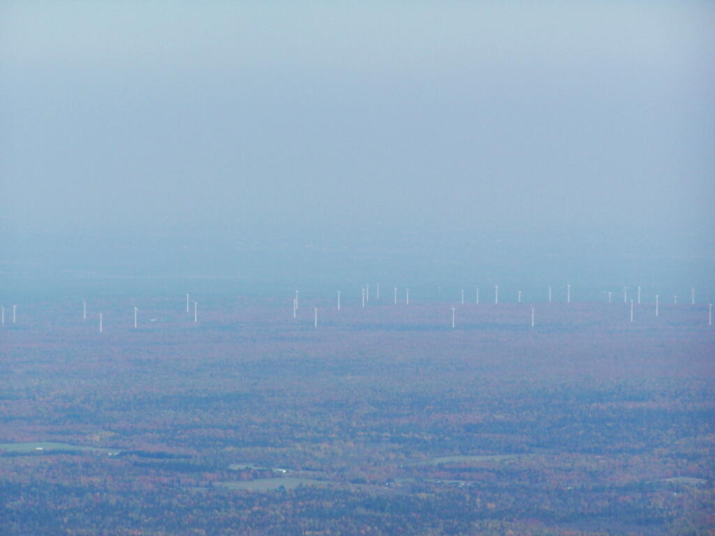
Wind turbines of the Chazy Highlands…
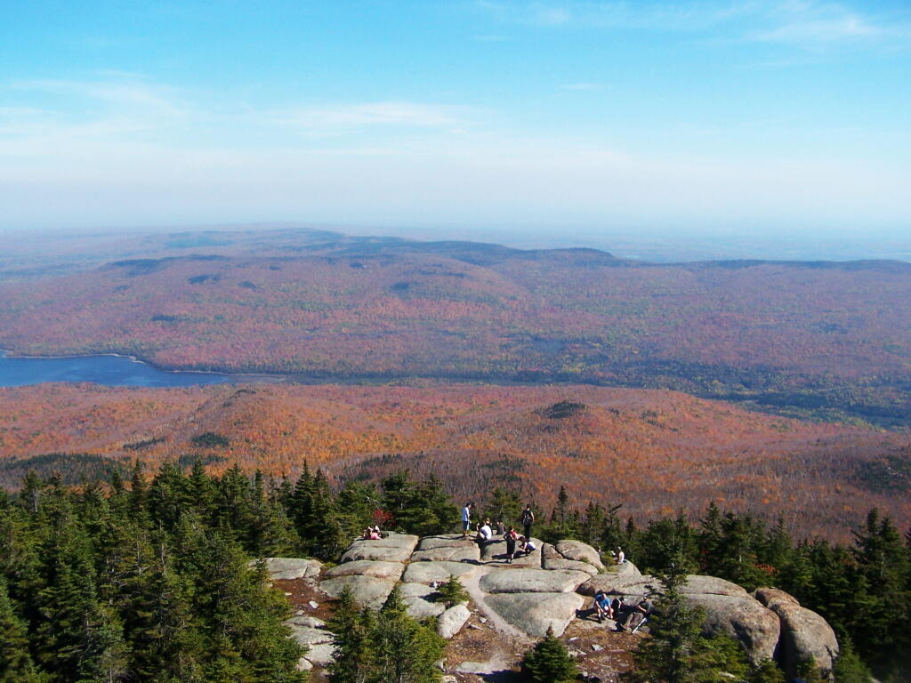
Lyon Mountain is a popular hike, as seen by all the hikers on the ledge.
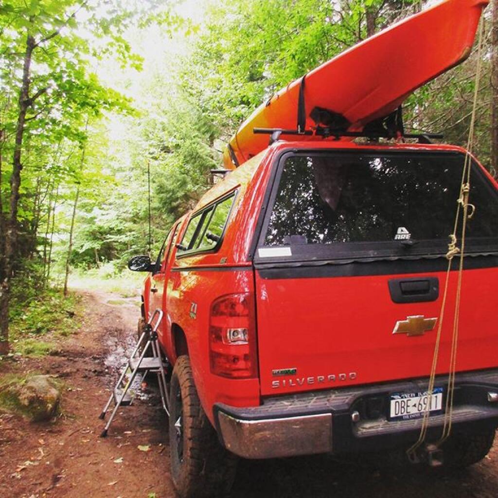
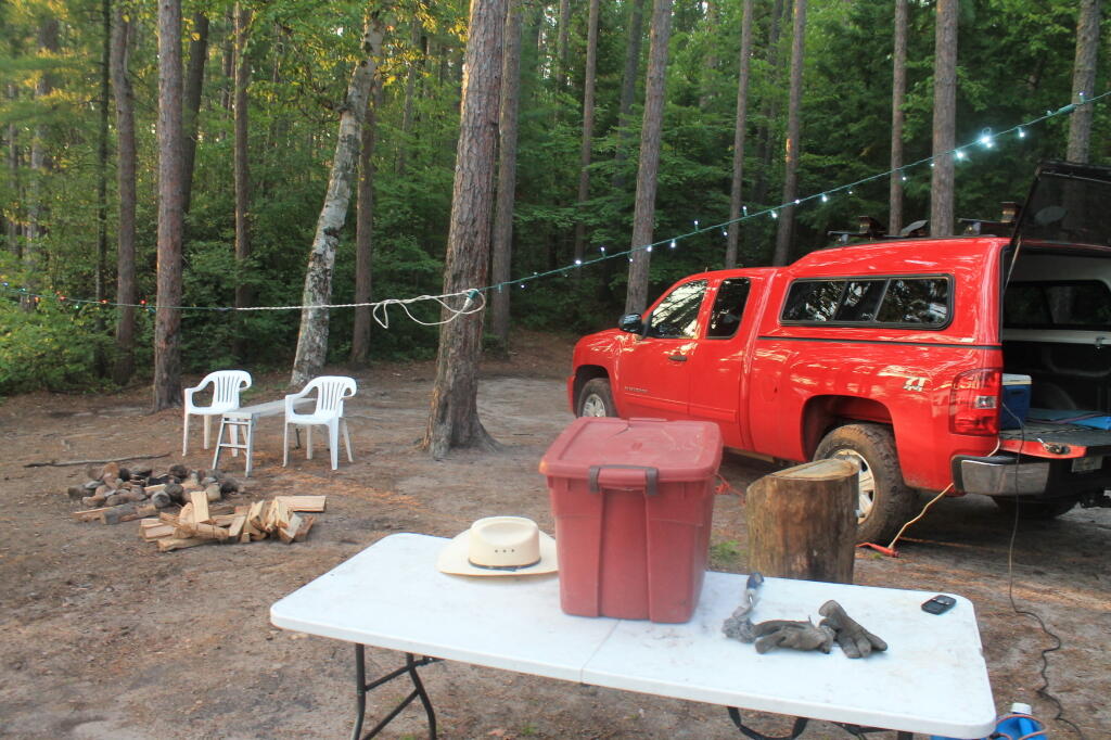
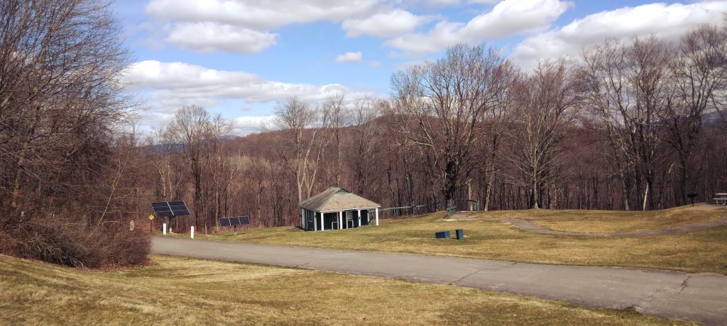
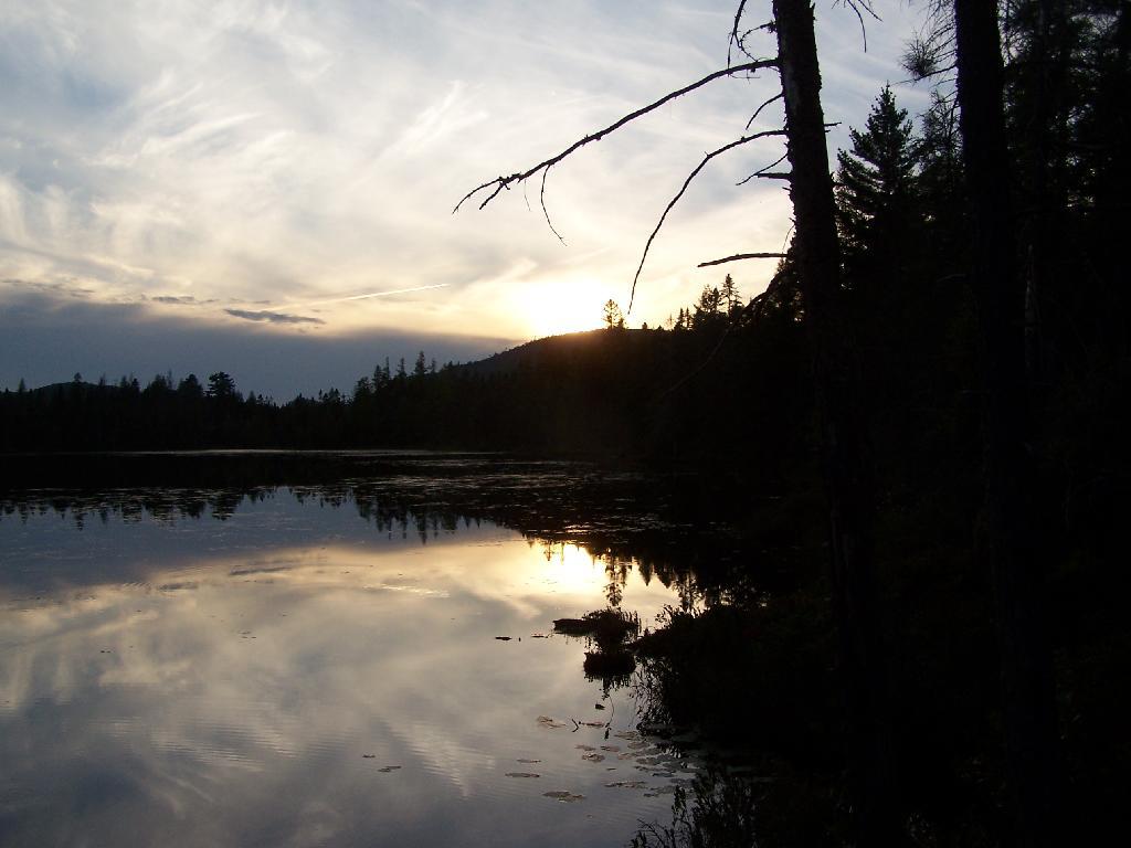
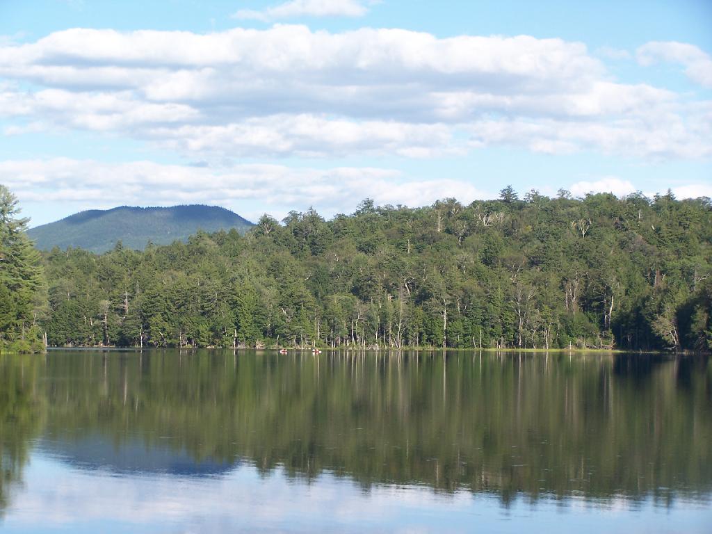
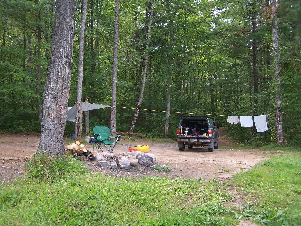
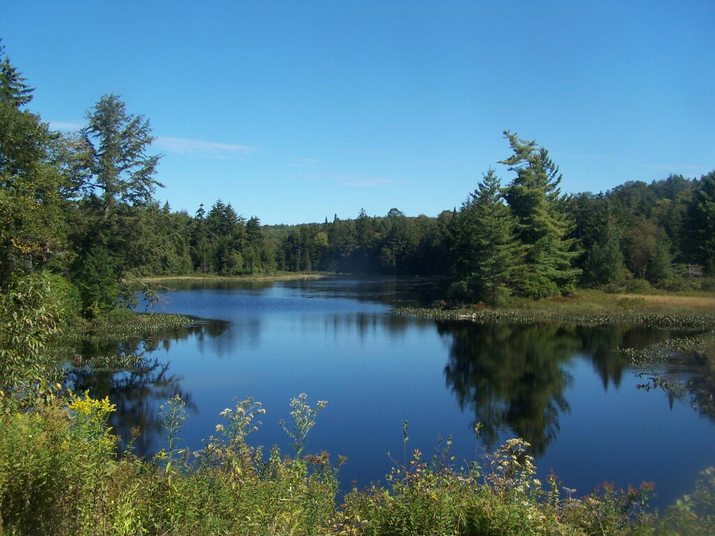
Jones Pond has 5 drive-in campsites on Jones Pond, a small public-private lake a little ways from Paul Smiths. A popular area on weekends, on weeknights, it is little used, but right on this beautiful lake.
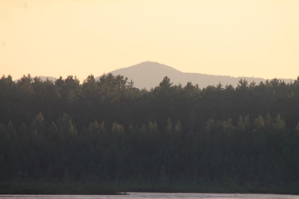
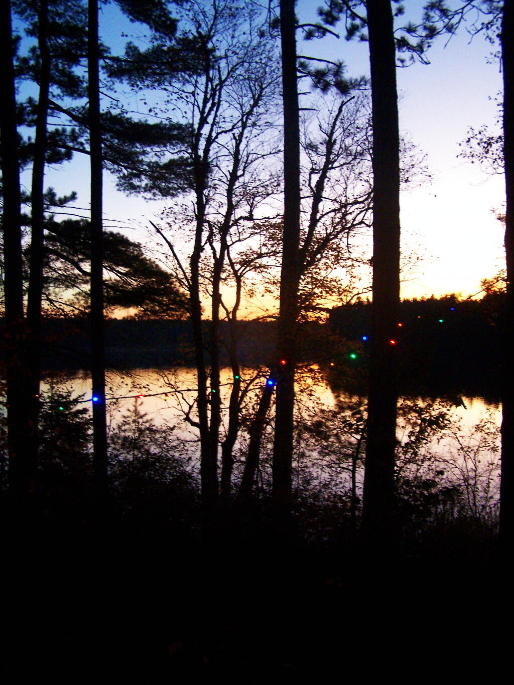
All of the campsites have “filtered” views of Jones Pond with tall white pines growing throughout the campground. The sun, year round sets on the lake, with views of Saint Regis Mountain te background. There is much beauty at all of campsites, with high sand dunes a little ways behind campsites, and sand dunes providing sound and light barriers between campsites.
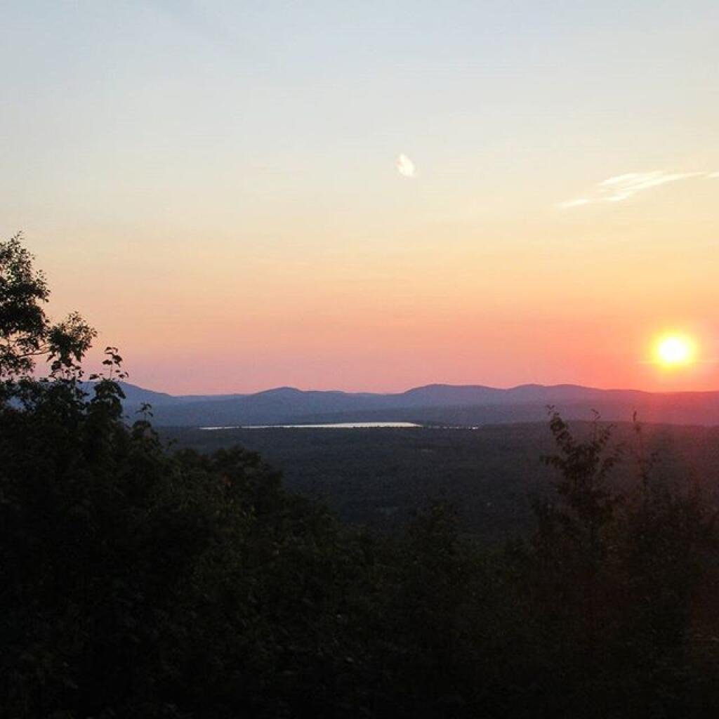
Part of the generalized St Regis Canoe Area, it one of many nearby lakes. It provides a great place to make the night after a long day paddling, after watching the sunset, and the fire burn as the night progresses. Walk down to the shoreline, and look at the stars sparkle in the sky.
It’s not perfect. There is some road noise from Jones Pond Road, and certainly part of lake shore is privately owned, so there are some power boats occassionally on the lake. But still, it’s a wonderful experience.
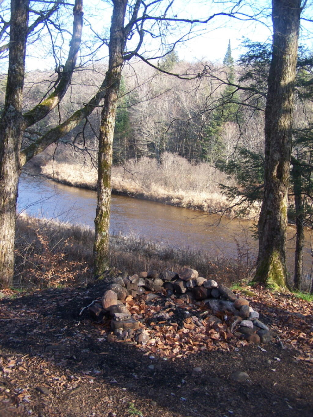
This past summer I have spent 3 weeks at Powley-Piseco Road up at Powley Place, about 10 miles north of Stratford. Despite visiting and camping in many other parts of the Adirondacks, this area has a special part in my heart.
I really like Powley Place. I like the sandy “plains” and the marshy areas. I like being able to see those handsome cedars lining the East Canada Creek, and wander out at night at look at the stars. I love feeling of sand on my feet, and cooling off in the East Canada creek.
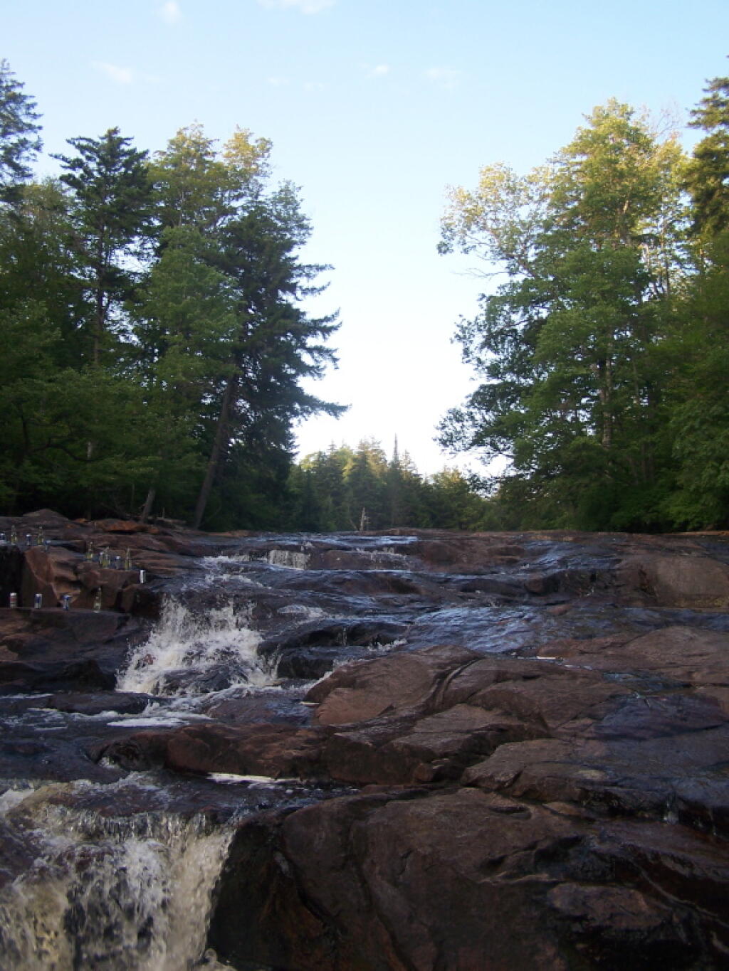
The Potholers always have the perfect amount of ice cold water in even on the hottest day. You get covered by the spray of water that is never too low in the summer. It’s always so delightful.
All of it is relatively close together. Unlike the Moose River Plains, you don’t spend all day driving from destination to destination. And its much closer.
A secret of the Adirondack State Land Master Plan is that well over 90% of the lands officially dedicated as Wild Forest are actually forever: wilderness, even though it’s not called that.
4. Public use of motor vehicles will not be encouraged and there will not be anymaterial increase in the mileage of roads and snowmobile trails open to motorized use bythe public in wild forest areas that conformed to the master plan at the time ofits original adoption in 1972.
That language basically makes it clear that no new roads or truck trails will be created in Adirondack Forest Preserve. Therefore, except for a handful existing roads, the vast majority of lands of Adirondack Forest Preserve will forever remain free of motor vehicles and snowmobiles (in winter). The milage of snowmobile trails and truck trails will only decline in coming years, strictly fitting into defination of “wild forest”.
The lands of the state, now owned or hereafter acquired, constituting the forest preserve as now fixed by law, shall be forever kept as wild forest lands. They shall not be leased, sold or exchanged, or be taken by any corporation, public or private, nor shall the timber thereon be sold, removed or destroyed.
Therefore per the consitution, no timber may be removed or destroyed in the forest preserve, which means the consitution explicitly prohibits any new road from being constructed in the forest preserve, except where an existing road exists. You can’t build a new road through the forest without cutting timber.
The only constraint from designating all of Adirondack Wild Forest as wilderness, is some of the parcels are smaller, and there a minimal roads going to campsites, lakes, destinations, and private lands throughout the park, mostly low-speed forest preserve roads, with minimal use.
25. Primitive Tent Site–a designated tent site of an undeveloped character providing space for not more than three tents, which may have an associated pit privy and fire ring, designed to accommodate a maximum of eight people on a temporary or transient basis, and located so as to accommodate the need for shelter in a manner least intrusive on the surrounding environment. (page)
The Adirondack State Land Master Plan uses the definition of a “primitive tent site” in a wilderness area to explain campsites in wild forest.
1. All structures and improvements permitted under the guidelines covering wilderness areas will be allowed in wild forest areas. […]
Here is the wilderness “primitive tent site” regulations per the APSLMP:
1. The structures and improvements listed below will be considered as conforming to wilderness standards and their maintenance,rehabilitation and construction permitted:
— primitive tent sites below 3,500feet in elevation that are out of sight andsound and generally one-quarter mile from any other primitive tent site or lean-to:
(i) where physical and biological conditions are favorable, individual unit management plans may permit th establishment, on a site-specific basis, of primitive tent sites between 3,500 and 4,000feet in elevation, and,
(ii) where severe terrain constraints prevent the attainment of the guideline for a separation distance of generally one-quarter mile between primitive tent sites, individual unit management plans may provide, on a site-specific basis, for lesser separation distances, provided such sites remain out of sight and sound from each other, be consistent with the carrying capacity of the affected area and are generally not less than500 feet from any other primitive tent site;
Also, in wild forest, so-called groups of primitive campsites are allowed:
Small groupings of primitive tent sites designed to accommodate a maximum of 20people per grouping under group camping conditions may be provided at carefully selected locations in wild forest areas, even though each individual site may be within sight or sound and less than approximately one-quarter mile from any other site within such grouping, subject to the following criteria:
— such groupings will only be established or maintained on a site specific basis in conformity with a duly adopted unit management plan for the wild forest area in question;
— such groupings will be widely dispersed (generally a mile apart) and located in a manner that will blend with the surrounding environment and have a minimum impact on the wild forestcharacter and natural resource quality of thearea;
— all new, reconstructed or relocated tent sites in such groupings will beset back a minimum of 100 feet from themean high water mark of lakes, ponds,rivers and major streams and will be located so as to be reasonably screened from the water body to avoid intruding on the natural character of the shoreline and the public enjoyment and use thereof.
Despite threats from PROTECT! and Residents Committee to Protect the Adirondacks, the Adirondack State Land Master Plan has never been litigated in court, so there is no legal interpretations of the ASLMP outside what has been decided by the DEC and Adirondack Park Agency.
Many different wild forests have taken that definition to different meanings…
Generally Open to All Campers…
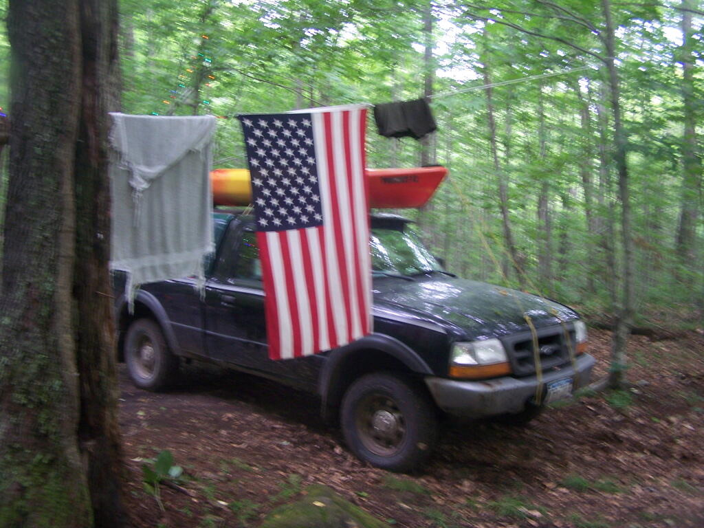
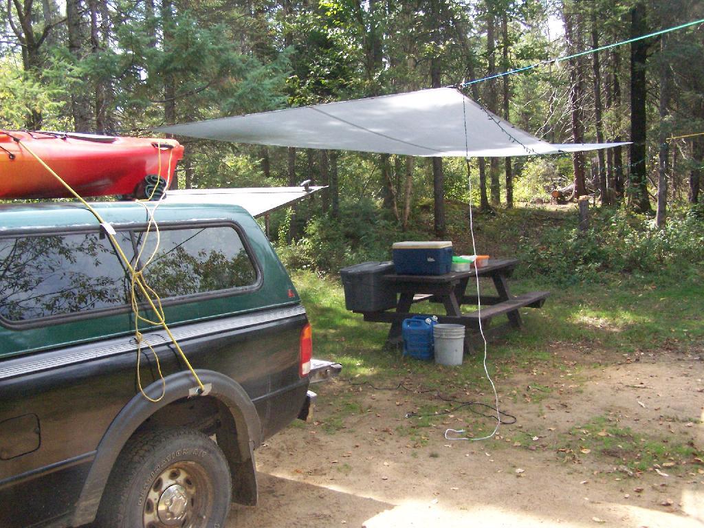
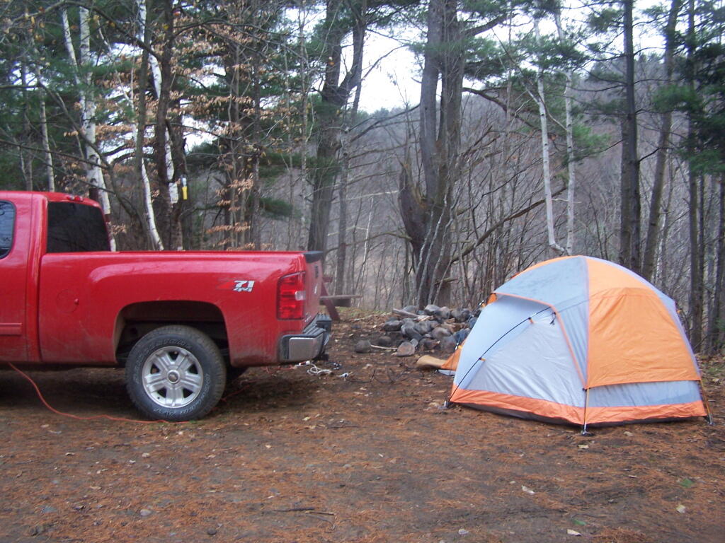
At Ferris Lake Wild Forest, particularly on Piseco-Powley Road, it has been taken to mean roadside campsites, where vehicles can access, and people are free to bring in a pickup camper or recreational vehicle if they so choose. Indeed, the draft UMP and the Adirondack State Land Master Plan both mention roadside camping. The Ferris Lake UMP goes as far as to describe various sites, and how big of a vehicle can fit in individual campsites. The sites have fire rings and outhouses, which is consistent with that definition. A minority of sites also have picnic tables.
This is common in most wild forests with roadside campsites, including Black River Wild Forest (North Lake, Woodhull Lake), Debar Mountain (Mountain Pond, Jones Pond, etc.), Ferris Lake Wild Forest (Powley Road, G-Lake Road, Edick Road, Mountain Road, etc.), Moose River Plains, and Vanderwhacker Wild Forest (Moose Club Way, Northwoods Club Road, NY 28N, Cheney Pond, Blue Ridge Road), Wilcox Lake Wild Forest (NY 8, Pumpkin Hollow, Hope Falls, etc.).
Tent Site Use Only…
On the polar opposite would be Lake George Wild Forest, particularly along Darcy Clearing Road and Hogstown Road, where all of the campsites have been relocated and blocked off to prevent any vehicle use or non-tent use. The argument here is that primitive tent site must be taken literally in the dictionary sense, and that any use of vehicles, such as truck campers or recreational vehicles are inconsistent with the Adirondack Park State Land Master Plan.
Similar policies on restricting use of motor vehicles in roadside campsites exist in a minority of other wild forest campsites (like the lower portion of Harrietstown Road and Garnet Lake in Wilcox Lake Wild Forest), however the majority of forests allow some roadside campsites, with vehicle access.
History Looms Large.
But let’s be honest, most wild forests allow unrestricted roadside campsites for a variety of vehicles, including pickup campers and recreational facilities. This has been going on for over 100 years, basically as long as their has been motor vehicles in the Adirondacks, and certainly as long as recreational vehicles and truck campers have existed. Most public lands, outside of NY State also do not have much in restrictions on roadside camping.
It’s tough to take away from people what they are already granted, and enjoy, especially if the rational is limited. People enjoy roadside camping in a variety of vehicles, and in many locations. For many people, they have been coming to the backcountry for decades, parking their truck or RV, and enjoying all of the solitude and pleasure that roadside camping.
The two longest back country roads in Adirondacks — Cedar River-Limekiln Lake Road and Piseco-Powley Road — are generally closed during mud season. Other dirt roads like Moose Club Way tend to be muddy, and their is a risk you’ll get stuck back there.
It’s always a good idea to bring extra weight in your truck bed, a come-a-long or whinch, and snow shovel. You might not be far from a blacktop road at these campsites, but that is no guarantee you won’t get stuck.
1) NY Route 8 / East Branch of Sacandaga River
The campsites are all off NY 8, an all season plowed and maintained asphalt road. Some sites are reinforced with gravel. Be aware some sites may be plowed full of snow from the winter clearing of NY 8. Roughly 15 campsites along this road, however some may be too muddy for this time of year.
2) South of Arietta Town Line on Piseco-Powley Road
There are 7 campsites along Piseco-Powley Road, north of Stratford, prior to the Arietta Town Line gate, which is near the Potholers on East Canada Creek. This road is well packed dirt, reinforced with gravel up to gate, and should be accessiable year round, minus the snow.
3) NY 421 at Horseshoe Lake
NY 421 is an asphalt road, and there are 4 campsites prior to the gates for Horseshoe Lake Road and Lows Lower Dam Road. These gates will be closed, but the sites along NY 421 before the asphalt runs out should be good as long the snow is off of NY 421..
4) Mountain Pond
Mountain Pond Campsites are on an old routing of NY 30. While now unplowed in the winter, the road is mostly hard asphalt, asphalt chips, and gravel. Many of the campsites are reinforced with gravel, but be careful with some of the sites.
5) First Campsite on Wolf Lake Road.
There is a campsite on Wolf Lake Road, right before the parking area and winter road gate for Wolf Lake Road Extension. This campsite is grass, however if it’s relatively dry, snow and mud free, this is possiblity.
6) Reeds Pond Campsite.
Before the black top runs out, there is a campsite along Reeds Pond, which is nice for it’s solitude, but nearness to a dirt road. The campsite may be muddy, depending on the conditions.