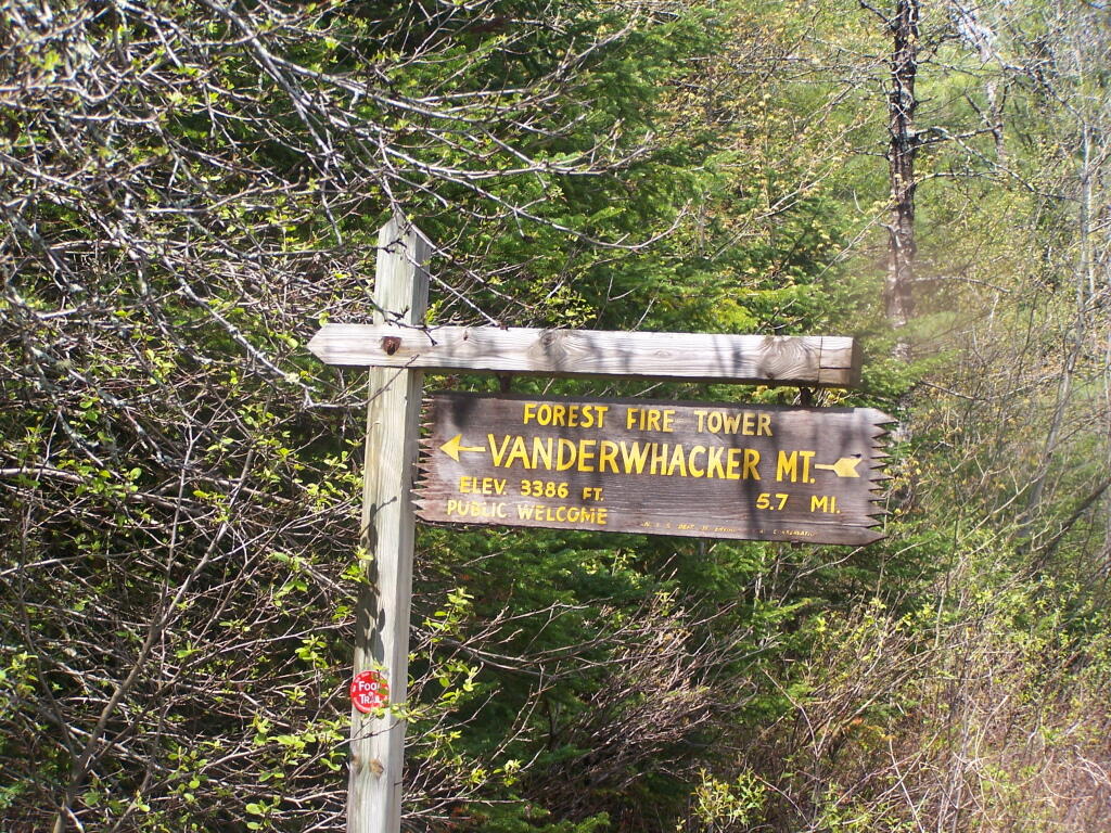
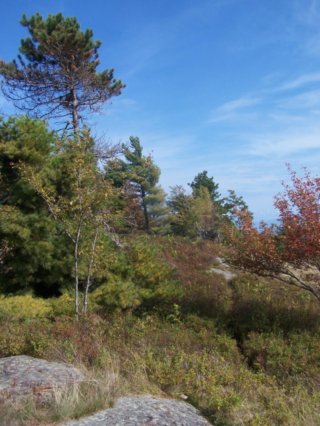
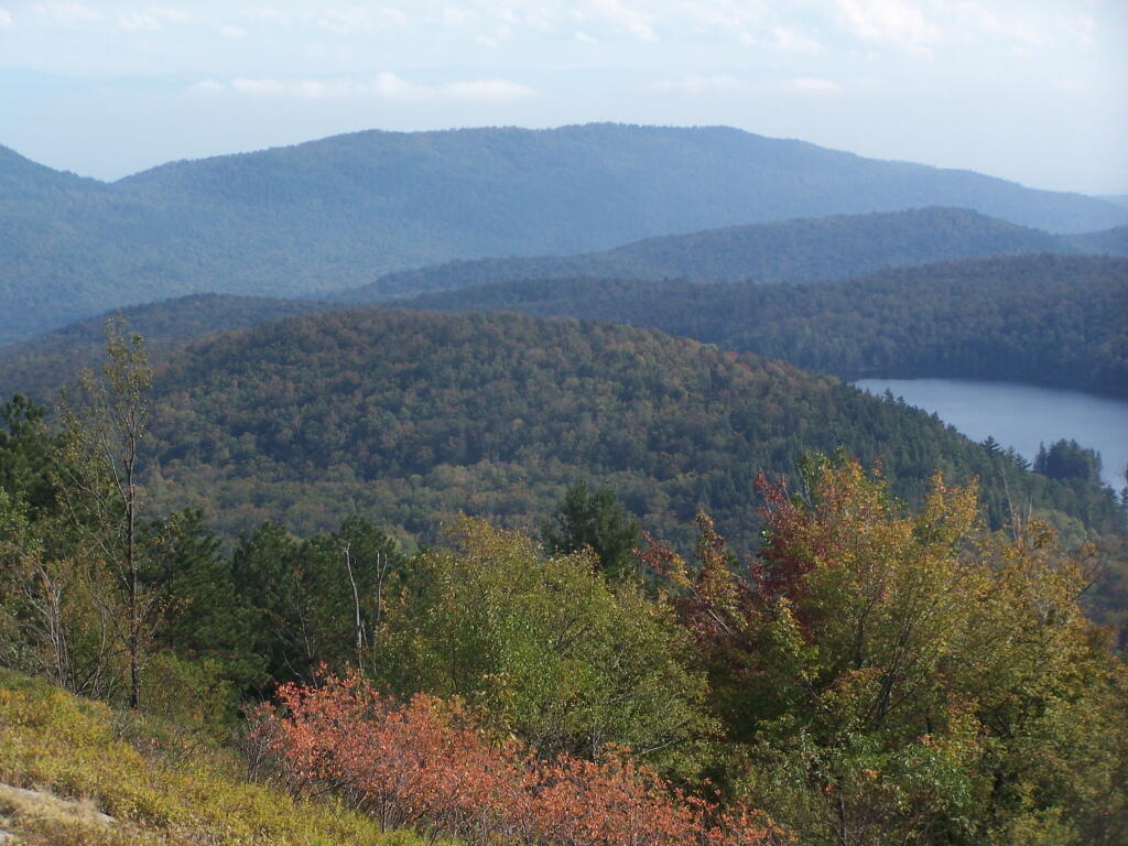
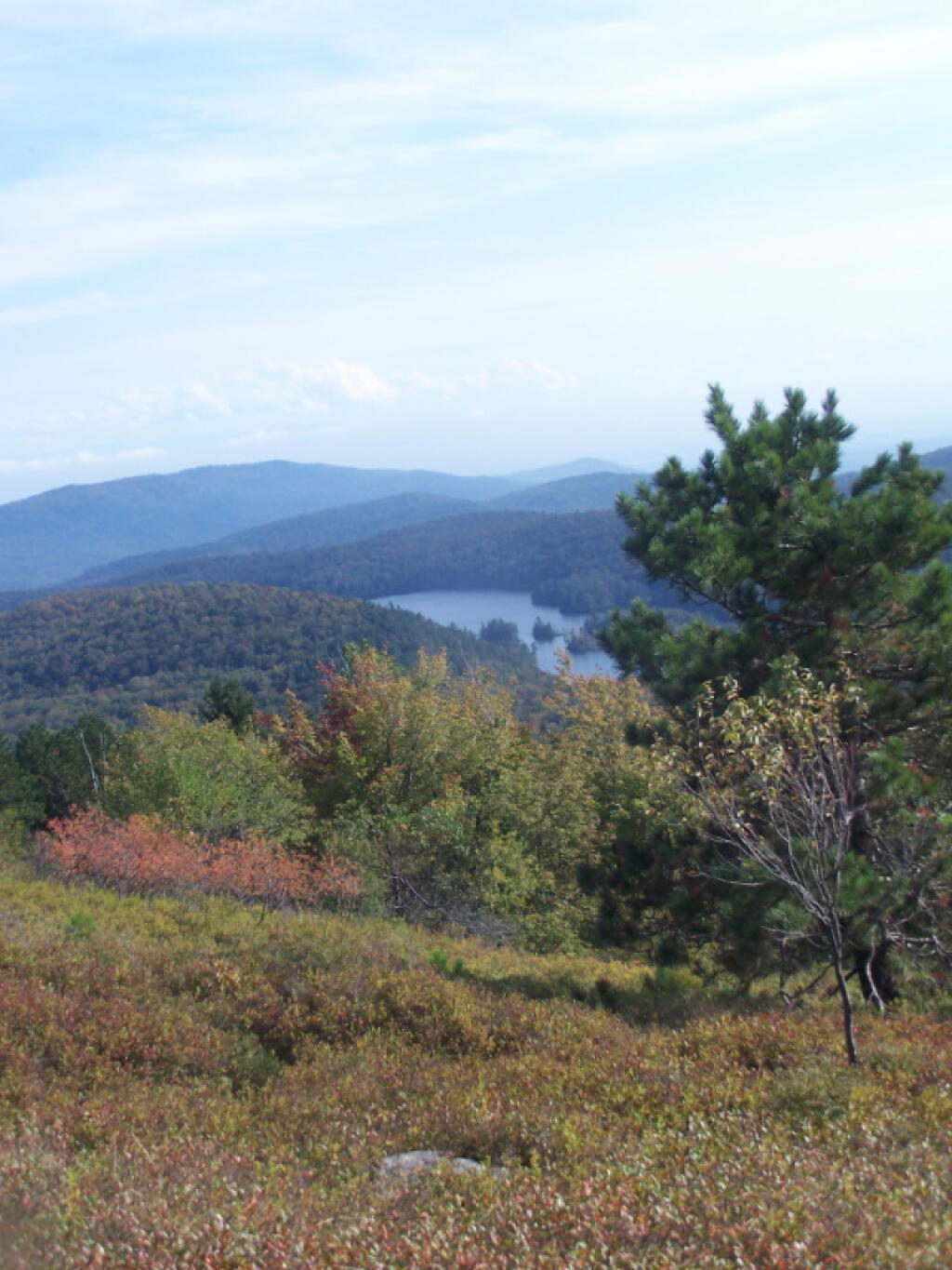
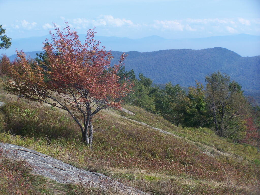
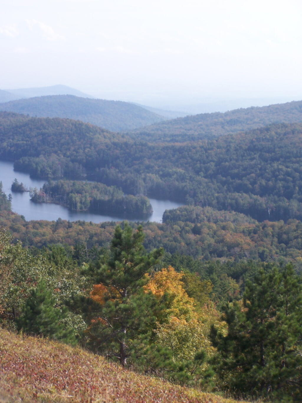
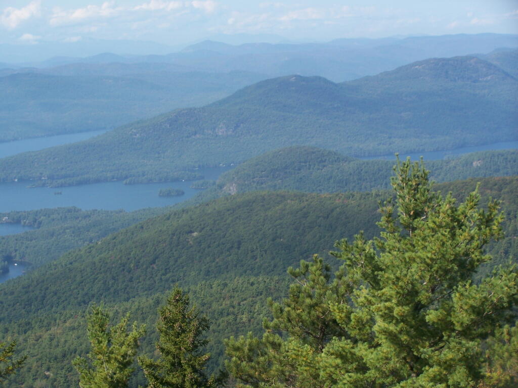
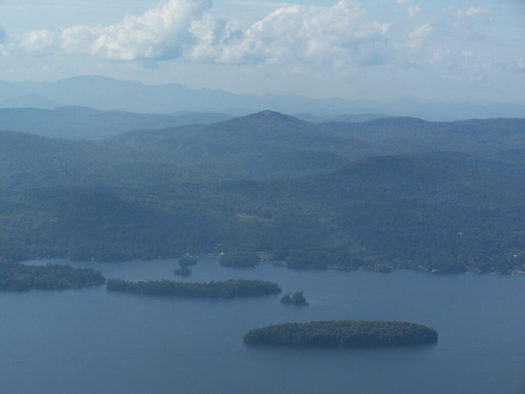
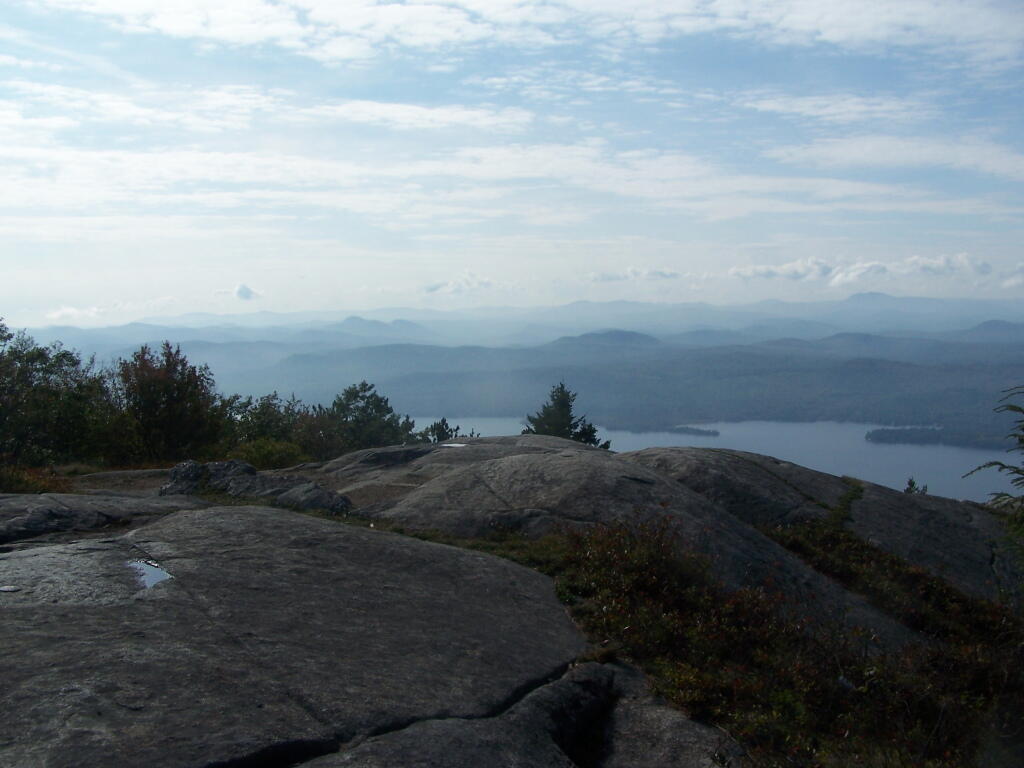
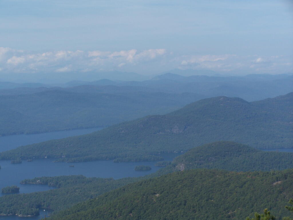
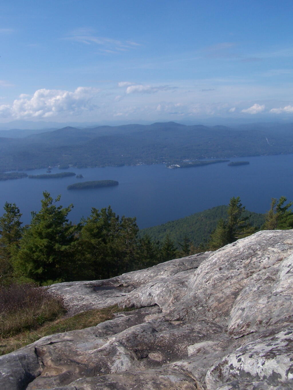
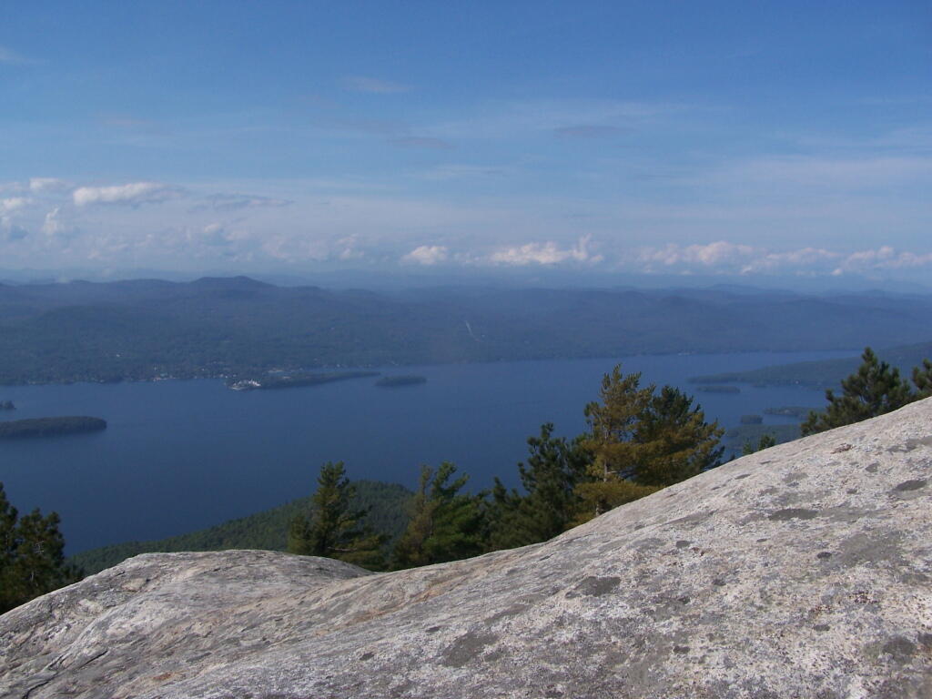
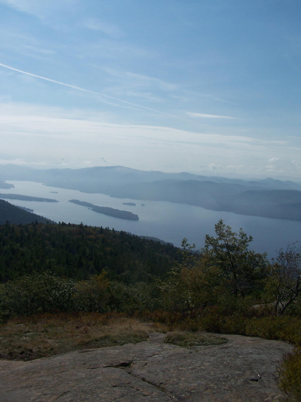
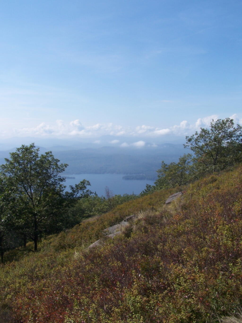
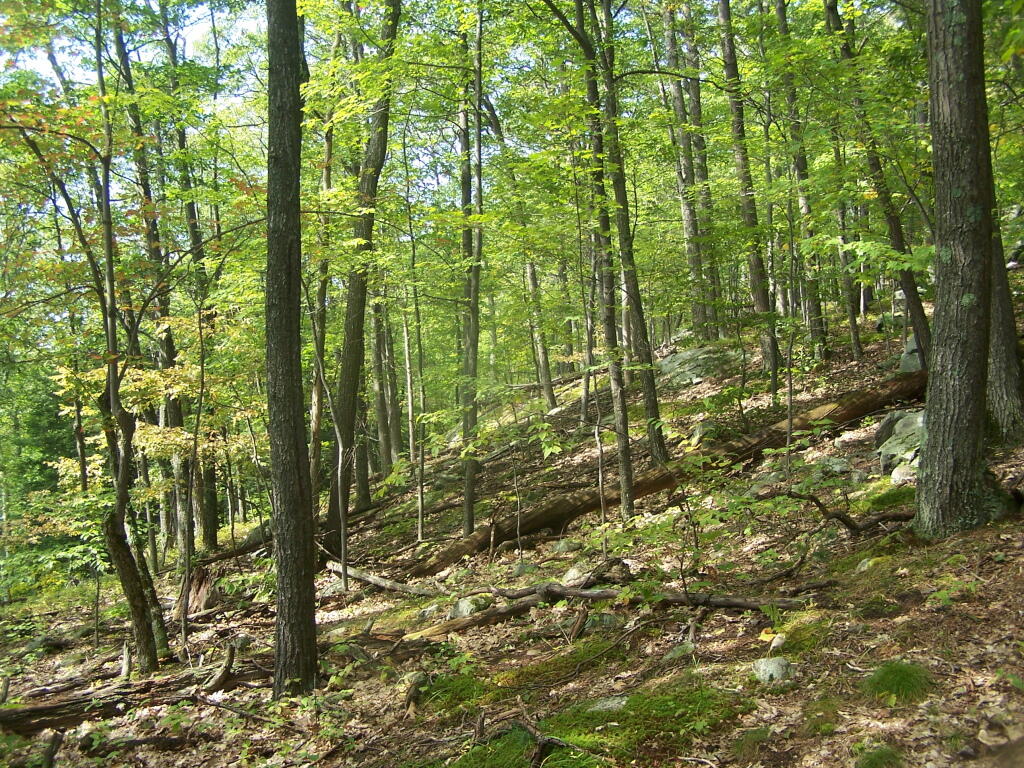
The Adirondack Park is a publicly protected, elliptical area encompassing much of the northeastern lobe of Upstate New York. It is the largest park and the largest state-level protected area in the contiguous United States, and the largest National Historic Landmark. The park covers some 6.1 million acres (2.5×10⁶ ha), a land area roughly the size of Vermont and greater than the National Parks of Yellowstone, Yosemite, Grand Canyon, Glacier, and Great Smoky Mountains combined.
The Adirondack Park boundary, commonly referred to as the ‘Blue Line,’ contains the entire Adirondack Mountain range, as well as some surrounding areas, all within the state of New York. The park includes all of Hamilton and Essex counties, as well as considerable portions of Clinton, Franklin, Fulton, Herkimer, St. Lawrence, and Warren counties and small portions of Lewis, Oneida, Saratoga, and Washington counties as well. (The Clinton County towns of Altona and Dannemora, despite being entirely within the park boundary, are specifically excluded from the park by statute, due to the large prison facilities in both towns.)
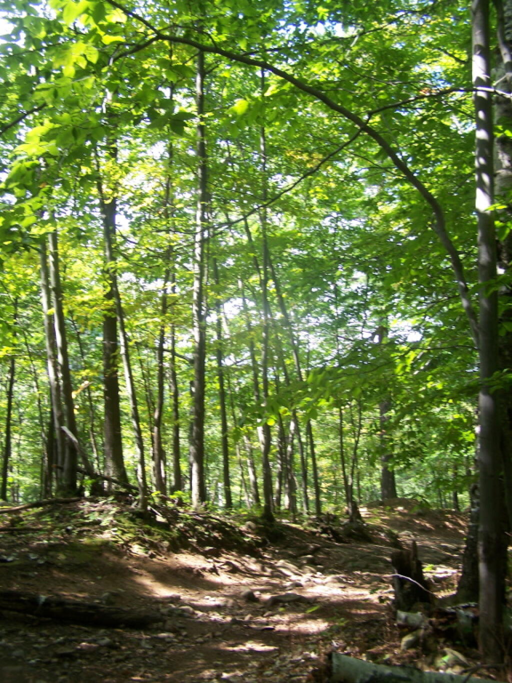
Not all of the land within the park is owned by the state, although new sections are frequently purchased or donated. State land comprises 2.7 million acres (1.1×10⁶ ha), about 45% of the park’s area, including the highest peaks in New York State, as well as Mount Marcy, the highest elevation in the state. About 1 million acres (400,000 ha) of this is classified as wilderness, with most of the remainder managed under the somewhat less stringent wild forest classification. Villages and hamlets comprise less than 1% of the area of the park; the remaining area of more than 3 million acres (1.2×10⁶ ha) is privately held but is generally sparsely developed.[3] There is often no clear demarcation between state, private, and wilderness lands in the park. Signs marking the Adirondack Park boundary can be found on most of the major roads in the region, but there are no entrance gates and no admission fee.
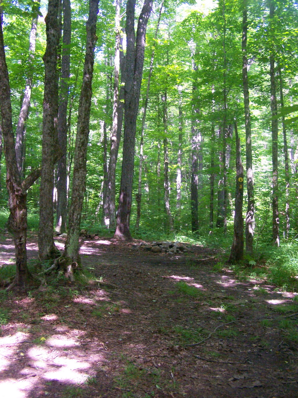
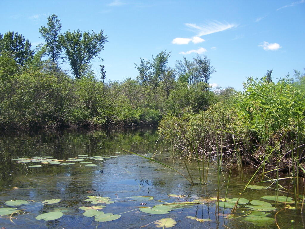
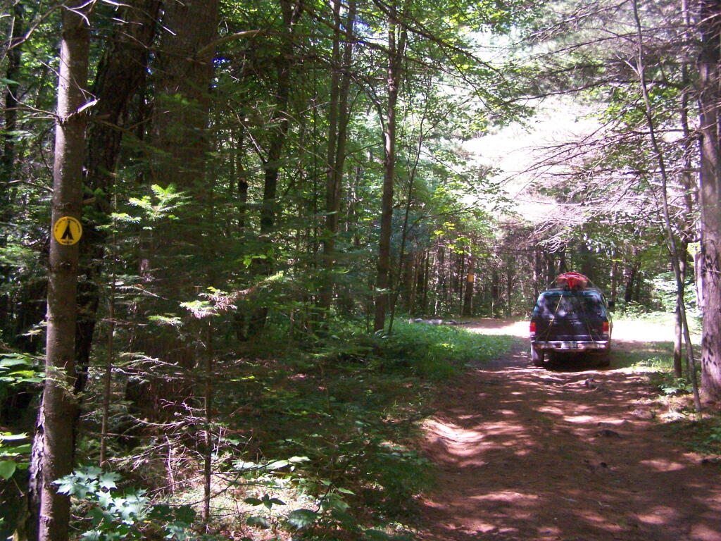
Horsehoe Lake has several campsites along, as does the dirt road beyond it for a ways.
The best roadside campsites go fast on the lake, but you can always camp on the less desirable campsites, then check out Bog River Flow, and tent camp up there.
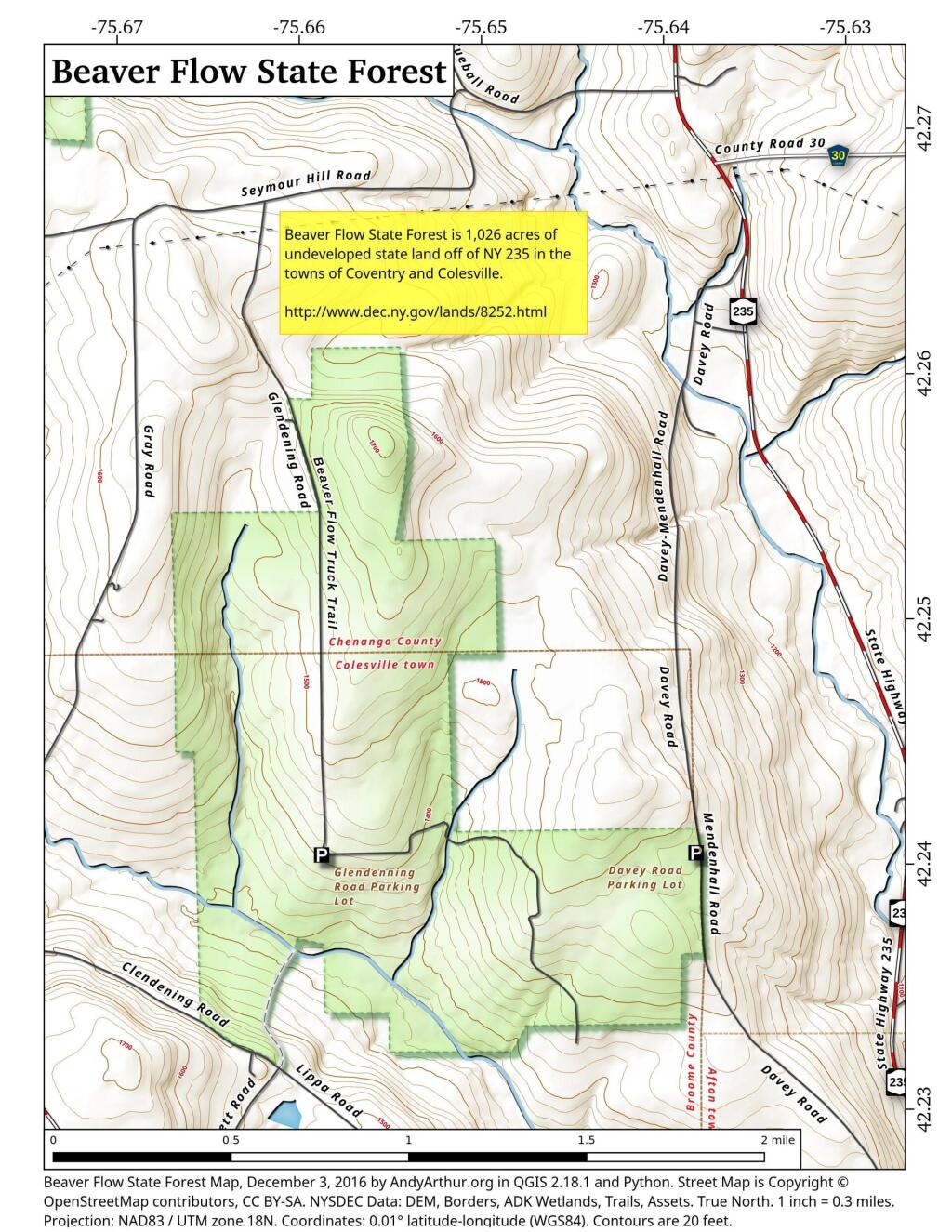
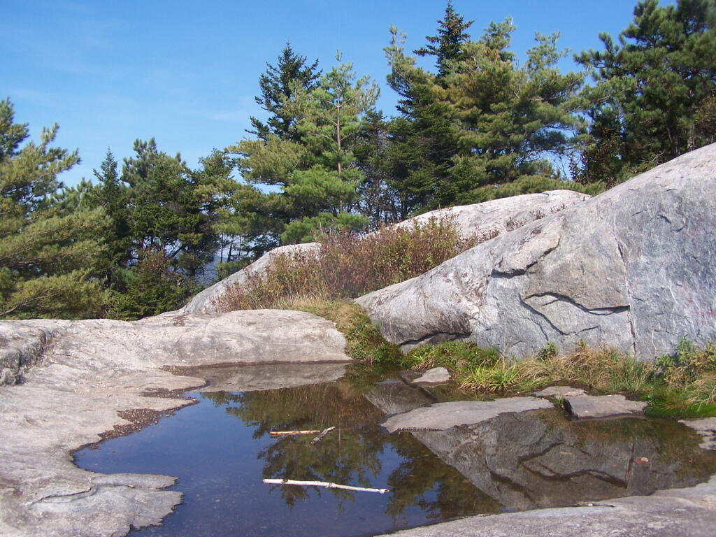
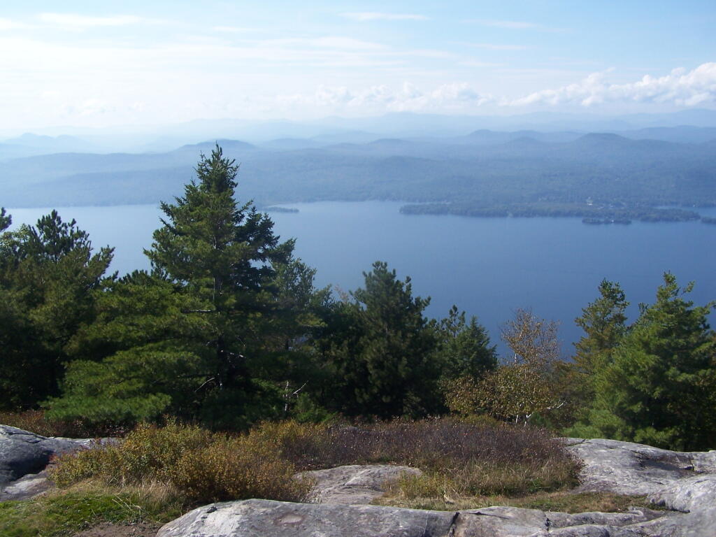
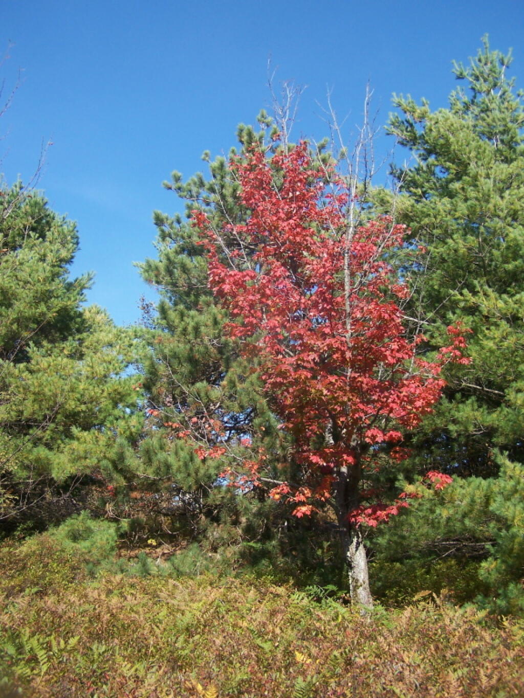
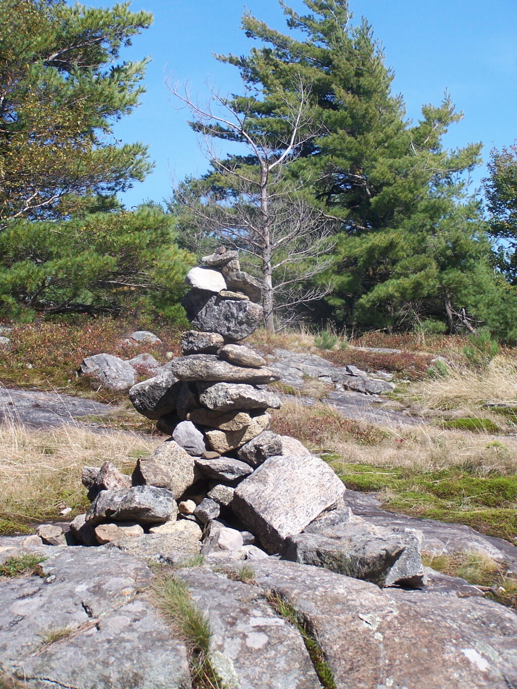
Today’s fodder is based on the text of as Adirondack Park Land Acqusition Policy, as described in the Adirondack Park State Land Master Plan. I added the headings and pictures to make it more readable. — Andy
The Agency has an important interest inr future state land acquisitions since they can vitally affect both private and public land within the Adirondack Park. As a result the Agency recommends that the following guidelines should govern future acquisitions of state lands within the Park…
State Should Only Acquire
Adirondack Park Land for Forest Preseve.
1. Future state acquisitions within the Adirondack Park should generally be restricted to the acquisition of forest preserve lands. Where special state purposes are such that non-forest preserve land might be acquired (if such acquisitions are constitutionally permissible) the amount acquired for other than forest preserve purposes should be kept to the minimum necessary. Thus, should the state acquire a 100-acre tract on which it wished to place a hospital, a prison, an office building or another facility only that part of the tract, say twenty-five acres, that is actually necessary for the facility should be classified as non-forest preserve.
Reasons Not To Acquire Land.
2. As a general guideline, the state should avoid acquiring lands for non-forest preserve purposes (if such acquisitions are constitutionally permissible) within the Park where:
— the tract is not contiguous to a public highway; or,
— the tract is of a native forest character, i.e., stocked with any size, native tree species with twenty-five percent crown cover (plantations are not considered to be native forest land); or,
— the tract involved consists of more than 150 acres; or,
— the tract is contiguous to existing forest preserve land; or,
— the tract is within one-half mile of a block of forest preserve land of over 1,000 acres; or,
— the tract lies at an elevation greater than 2,500 feet; or,
— the proposed use of the tract will materially alter the surrounding environment; or,
— the tract is of significant scenic, ecological or geologic value or interest.
New Intensive Uses Should Be Restricted
to Private Companies and Individuals.
3. Save for (i) the two existing alpine skiing centers at Whiteface and Gore mountains and the Mt. Van Hoevenberg area; (ii) rustic state campsites, a long accepted intensive use of the forest preserve; (iii) visitor information centers, memorial highways, beaches and boat launching sites; and (iv) historic areas (guidelines for which are provided elsewhere in this master plan), the state should rely on private enterprise to develop intensive recreational facilities on private lands within the Park, to the extent that the character of these lands permits this type of development, and should not acquire lands for these purposes.
Lands Most Desirable to Add to Forest Preserve.
4. Highest priority should be given to acquiring fee title to, fee title subject to a term of life tenancy, or conservation easements providing public use or value or rights of first refusal over,
(i) key parcels of private land, the use or development of which could adversely affect the integrity of vital tracts of state land, particularly wilderness, primitive and canoe areas and
(ii) key parcels which would permit the upgrading of primitive areas to wilderness areas.
Preference for Consolidation of State Parcels of Land.
5. High priority should also be given to acquisitions of fee title which permit the consolidation of scattered tracts of state land.
Protection of Deer Wintering Habitats.
6. Fee title or appropriate conservation easements should also be acquired to protect critical wildlife areas such as deer wintering areas, wetlands, habitats of rare or endangered species or other areas of unique value, such as lands bordering or providing access to classified or proposed wild, scenic and recreational rivers.
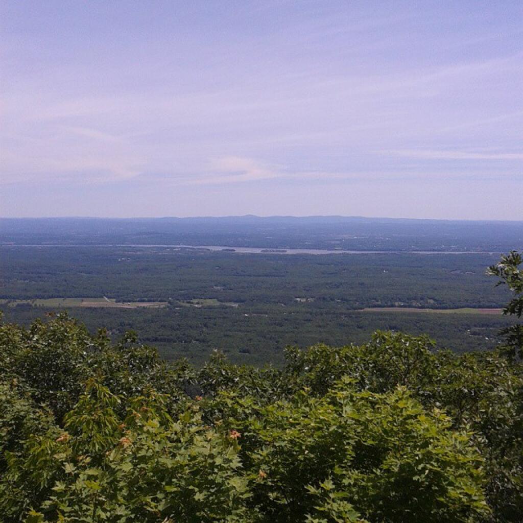
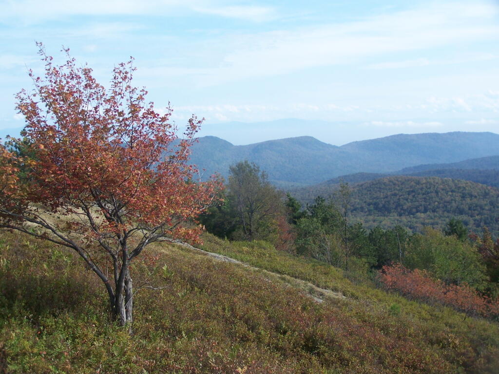
Protection of Scenic Vistas.
7. Efforts should be made, by conservation easement or fee acquisition, to protect the major scenic resources of the Park along travel corridors, with particular attention to the Adirondack Northway and those scenic vistas specifically identified on the Private Land Use and Development Plan Map and listed in Chapter III of this document.
Obtaining Right-of-Ways to Public Lands.
8. The acquisition of fee title to or rights-of-way across private lands that effectively prevent access to important blocks of state land should be pursued, except where such acquisition would exacerbate or cause problems of overuse or inappropriate use of state lands.
Obtaining Canoe water Right-of-Ways.
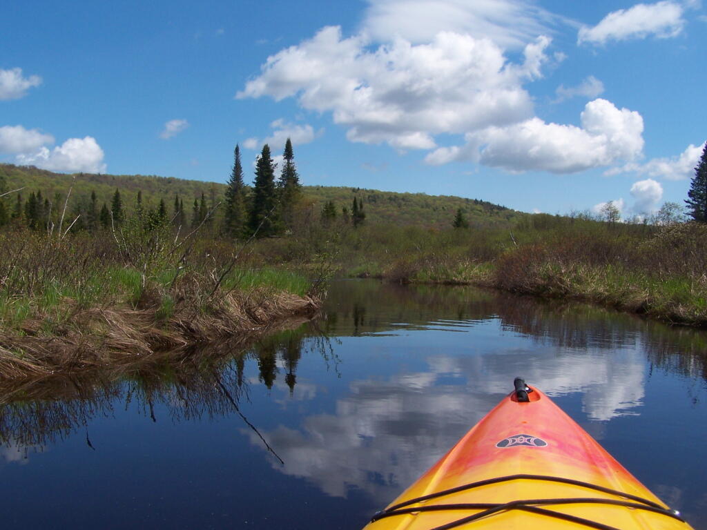
9. Canoe route easements should be purchased to reopen Adirondack canoe routes for non-motorized access in appropriate areas of the Park.
Obtaining Fishing Right Easements.
10. The highly successful fishing rights easement purchase program of the Department of Environmental Conservation should be continued and expanded on appropriate streams.
Avoid Purchases of Highly Productive Timber Stands,
Consider Conservation Easements for Timber Stands.
11. Due to the importance of the forest products industry to the economy of the Adirondack region, bulk acreage purchases in fee should not normally be made where highly productive forest land is involved, unless such land is threatened with development that would curtail its use for forestry purposes or its value for the preservation of open space or of wildlife habitat. However, conservation easements permitting the continuation of sound forest management and other land uses compatible with the open space character of the Park should be acquired wherever possible to protect and buffer state lands.
Adirondack Park Agency Prohibited from Reviewing Land Purchases Prior to Purchase.
While the Agency has not been given authority to review proposed acquisitions before title has vested in the state, once new lands have been acquired the Act requires the master plan to be revised by classifying the lands and setting guidelines for their management and use pursuant to the statutory procedures (consultation with the Department of Environmental Conservation and submission to the Governor for approval). The following procedures for revisions of the master plan will be followed in connection with new acquisitions:
— land acquisitions should be classified as promptly as possible following acquisition and in any case classification of new acquisitions will be done annually; and,
— prior to classification by the Agency, lands acquired by the Department of Environmental Conservation or any other state agency will be administered on an interim basis in a manner consistent with the character of the land and its capacity to withstand use and which will not foreclose options for eventual classification.
Today’s fodder is based on the text of the Adirondack Park State Land Master Plan that explains the Adirondack Scenic, Wild and Recreational Rivers System and the policies surrounding it quite well. — Andy
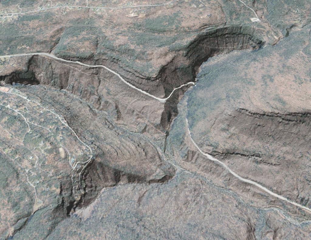
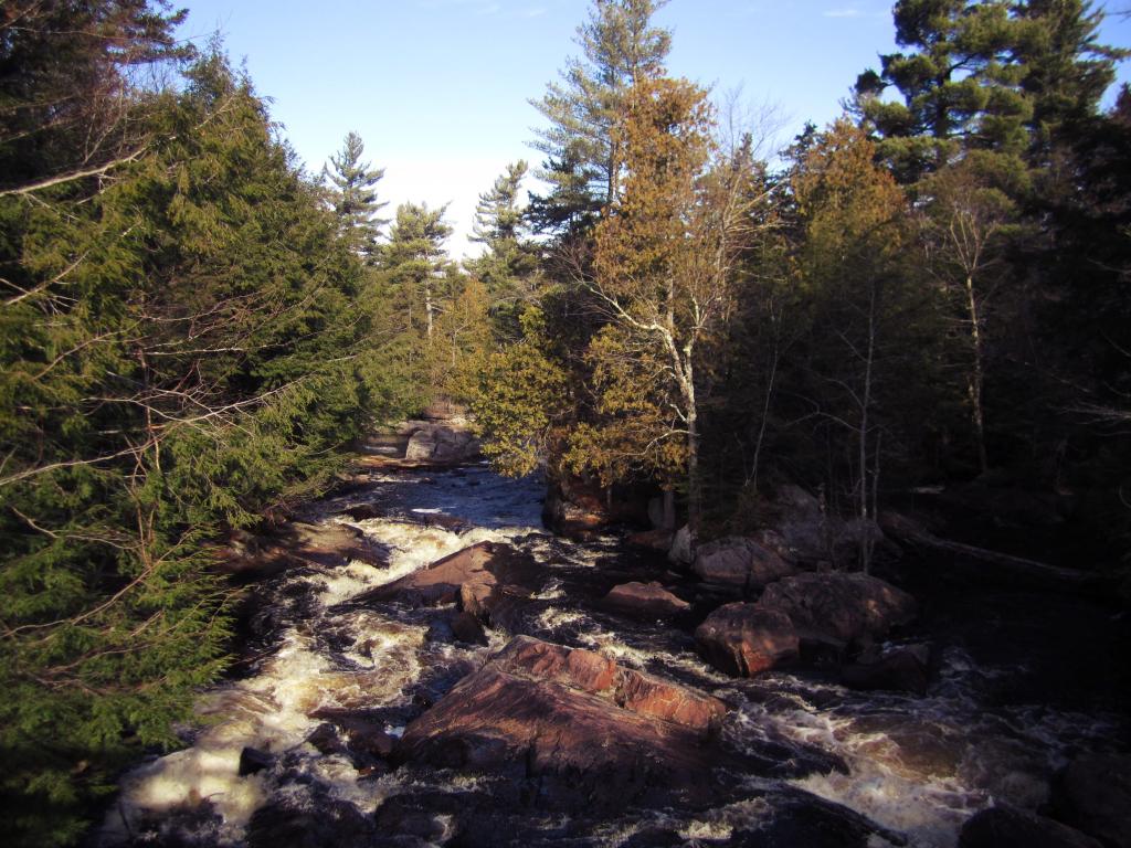
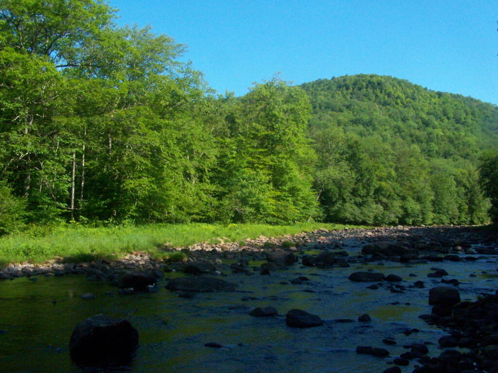
The Adirondack Park contains many rivers which, with their immediate environs, constitute an important and unusual resource. Classification of those portions of rivers that flow through state land is vital to the protection of existing free flowing streams. The classification system and the recommended guidelines specified below are designed to be consistent with and complementary to both the basic intent and structure of the legislation passed by the legislature in 1972 creating a wild, scenic and recreational rivers system on both state and private lands.
Definitions
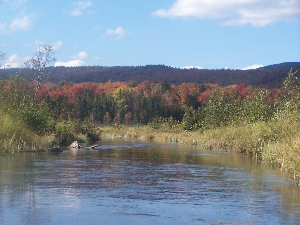
A wild river is a river or section of river that is free of diversions and impoundments, inaccessible to the general public except by water, foot or horse trail, and with a river area primitive in nature and free of any man-made development except foot bridges.
A scenic river is a river or section of river that is free of diversions or impoundments except for log dams, with limited road access and with a river area largely primitive and undeveloped, or that is partially or predominantly used for agriculture, forest management and other dispersed human activities that do not substantially interfere with public use and enjoyment of the river and its shore. A recreational river is a river or section of river that is readily accessible by road or railroad, that may have development in the river area and that may have undergone some diversion or impoundment in the past.
Guidelines for Management and Use
Basic guidelines
1. No river or river area will be managed or used in a way that would be less restrictive in nature than the statutory requirements of the Wild, Scenic and Recreational Rivers Act, Article l5, title 27 of the Environmental Conservation Law, or than the guidelines for the management and use of the land classification within which the river area lies, but the river or river area may be administered in a more restrictive manner.
2. Rivers will be kept free of pollution and the water quality thereof kept sufficiently high to meet other management guidelines contained in this section.
3. No dam or other structure impeding the natural flow of a river will be constructed on a wild, scenic or recreational river, except for stream improvement structures for fisheries management purposes which are permissible on recreational and scenic rivers only.
4. The precise boundaries of the river area will be determined by the Department of Environmental Conservation, will be specified in the individual unit management plans for the river area or the areas, where the more restrictive guidelines of the particular area will apply) and with the following additional guidelines.
2. Access points to the river shore or crossings of the river by roads, fire truck trails or other trails open to motor vehicle use by the public or administrative personnel will normally be located at least two miles apart.
3. Other motor vehicle roads or trails in the river area will not be encouraged and, where permitted, will normally be kept at least 500 feet from the river shore and will be screened by vegetation or topography from view from the river itself.
4. The natural character of the river and its immediate shoreline will be preserved.
5. The following structures and improvements may be located so as to be visible from the river itself:
== fishing and waterway access sites;
== foot and horse trails and foot and horse trail bridges crossing the river; and,
== motor vehicle bridges crossing the river.
6. All other new, reconstructed or relocated conforming structures and improvements (other than individual lean-tos, primitive tent sites and pit privies which are governed by the regular guidelines of the master plan) will be located a minimum of 250 feet from the mean high water mark of the river and will in all cases be reasonably screened by vegetation or topography from view from the river itself.
7. Motorboat usage of scenic rivers will not normally be permitted but may be allowed by the Department of Environmental Conservation, where such use is already established, is consistent with the character of the river and river area, and will not result in any undue adverse impacts upon the natural resource quality of the area.
Recreational rivers
1. Recreational rivers and their river areas will be administered in accordance with the guidelines for management of wild forest areas (except where such rivers flow through wilderness, primitive or canoe areas, where the more restrictive guidelines of the particular area will apply) and with the following additional guidelines:
2. Where a recreational river flows through an intensive use area, structures, improvements and uses permitted in intensive use areas will be permitted, provided the scale and intensity of these intensive uses do not adversely affect the recreational character of the river and the river area.
3. The natural character of the river and its immediate shoreline will be preserved and enhanced.
4. The following structures and improvements may be located so as to be visible from the river itself:
== fishing and waterway access sites;
== docks;
== foot and horse trails and foot and horse trail bridges crossing the river;
== snowmobile trails, roads, and truck trails; and,
== motor vehicle bridges crossing the river.
5. All other new, reconstructed or relocated conforming structures and improvements (other than individual lean-tos and primitive tent sites which are governed by the regular guidelines of the master plan) will be located a minimum of 150 feet from the mean high water mark of the river and will in all cases be reasonably screened by vegetation or topography from view from the river itself.
6. Motorboat use of recreational rivers may be permitted, as determined by the Department of Environmental Conservation.
Designation of Wild, Scenic and Recreational Rivers
The application of the above definitions and criteria to rivers on state lands in the Park results in the current designation under this master plan of 155.1 miles of wild rivers, 511.3 miles of scenic rivers, and 539.5 miles of recreational rivers. A significant amount of private lands not covered by this master plan are included in these mileage figures. A brief description of these rivers and their classification is set forth in Chapter III.
River
Wild
Scenic
Recreational
Ampersand Brook
8.6
Ausable — Main Branch
21.7
Ausable — East Branch
8.8
25.2
Ausable — West Branch
31.8
Black
6.8
5.8
Bog
6.2
Boreas
11.4
Bouquet
42.7
Bouquet — North Fork
5.9
Bouquet — South Fork
5.0
Blue Mountain Stream (Trib. of Middle Branch, Grasse River)
I have spent a lot of this past summer exploring the Black River Wild Forest, and decided it would be a good to share my experiences and some of the roadside and other campsites I’ve discovered along the way. As of September 2011, Lands and Forests in Albany doesn’t have these campsites in the central inventory, so all of this campsite data is based on personal exploration of these campsites.
North Lake.
Some of the best camping in the Black River Wild Forest is North Lake in Atwell. There are 22 campsites — many of them vehicle accessible along this man made lake. The southern end of the lake has some private houses and cabins on it, but it still is relatively pristine and beautiful. Most sites have outhouses and fire pits. Some but not all sites have limited wood supply. All sites designated.
Motors are allowed on this lake — as are on all wild forest lakes — so don’t be surprised to hear a jet ski or small boat on there. There are no public boat ramp on lake, so only hand launched boats can get on the lake.
Click to download or print this map.
South Lake.
South Lake is another Erie Canal Corp / Black River Reservoir near North Lake. There is a single large campsite on South Lake, with a private in-holding on the other side of the lake. There may be other campsites here, as I didn’t explore this whole lake. There is an outhouse here, grassy field for camping, fire pit.
Click to download or print this map.
Reeds Pond.
There are a couple of campsites along Reeds Pond, North Lake Road, and Farr Road as you head up to North Lake from Forestport. This pristine, but relatively small pond is fairly popular for camping.
Click to download or print this map.
Wolf Lake Road.
There are 5 fairly remote roadside campsites along Wolf Lake Road, as you head down to Woodhull Lake. Note also how there are lean-tos at Bear Lake and Woodhull Lake. The roadside campsites have no facilities, and some can be muddy as they are not hardened with gravel.
Wolf Lake Road has recently been rebuilt and resurfaced with gravel, however spring rains did lead to one part that may lead low-clearance cars to bottom out. Camp on this road, and your unlikely to see more then 2-3 people drive by on any particular day.
Be aware that the last 1/8th of a mile to Woodhull Lake is gated, so you’ll have to carry your boat the rest of the way down to the lake.
Click to download or print this map.
Remsen Falls.
Remsen Falls, which probably should be called “Remsen Rapids”, is a popular swimming place, and offers two well used campsites. There is an outhouse and picnic table down here. The trail follows a gated dirt road.
There are several campsites a on side roads, little ways off of NY 30, as you head North from Northville towards Wells NY. These campsites are nice if you starting off into the Adirondacks, and are looking for a convenient place to camp for the night, and want campsites quieter then those on NY 8 / East Sacanadaga River.
These sites are all designated with official “Camp Here” discs.
Road
Number of Sites
Hope Falls Road
3 Vehicle
3 Tent Sites
Pumpkin Hollow Road
2 Vehicle (Between Willis Lake and Inholding)
1 Vehicle (Beyond Inholding)
Hope Falls Road.
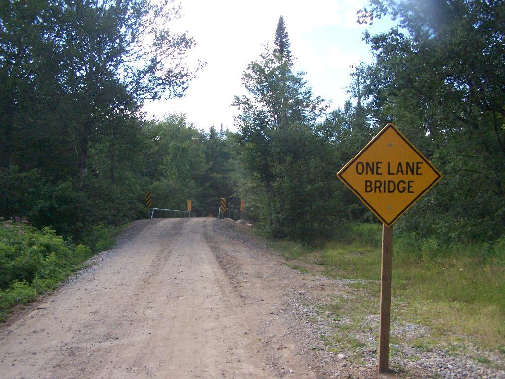
From Northville on Hope Falls Road, you drive north and north. The paved road goes on for several miles, until you finally reach the “Seasonal Use Only” sign, and hte pavement ends it becomes a one lane road.
Click the map above to print it.
None of these campsites are particularly fancy, although there is a single outhouse for the first grouping of campsites on the southern port of the road.
All of the campsites run along Stoney Creek …
Pumpkin Hollow.
The campsites are a ways back on Pumpkin Hollow Road, a dirt road, beyond Willis Lake and the camps along it. Pumpkin hollow is a short ways south of the Sacanadaga River DEC Campground, it starts out as a paved road by a white house, then eventually a mile or two back becomes unpaved and one lane.
You can print the above map by clicking on it and printing it.
Here’s sample designated campsite on Pumpkin Hollow Road.