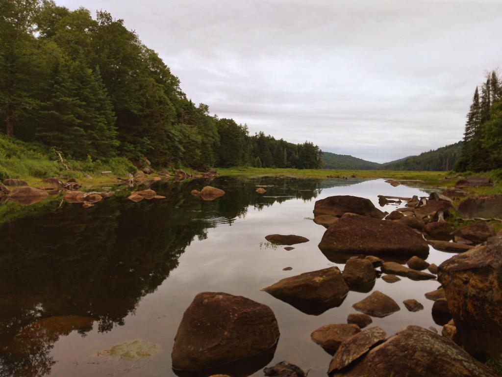
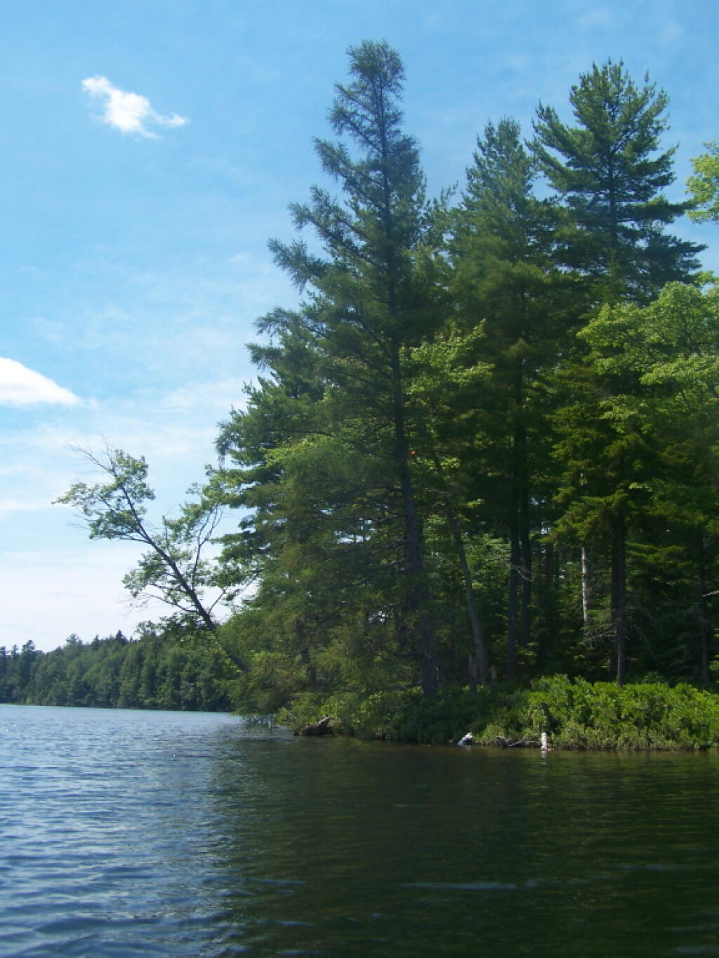
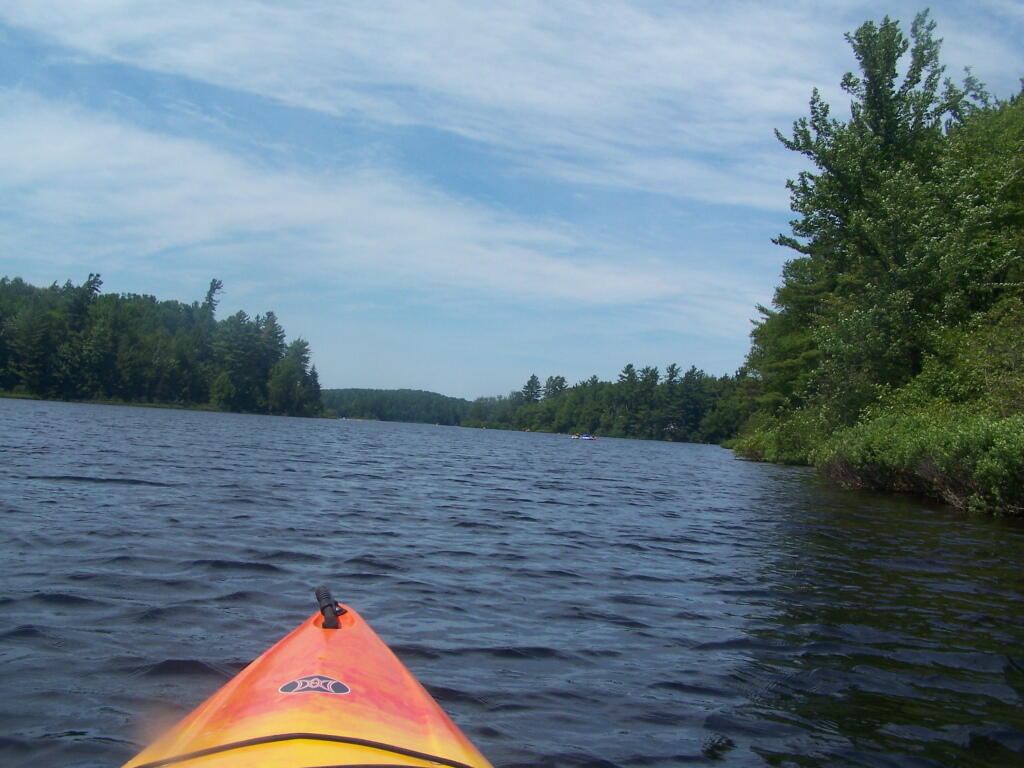
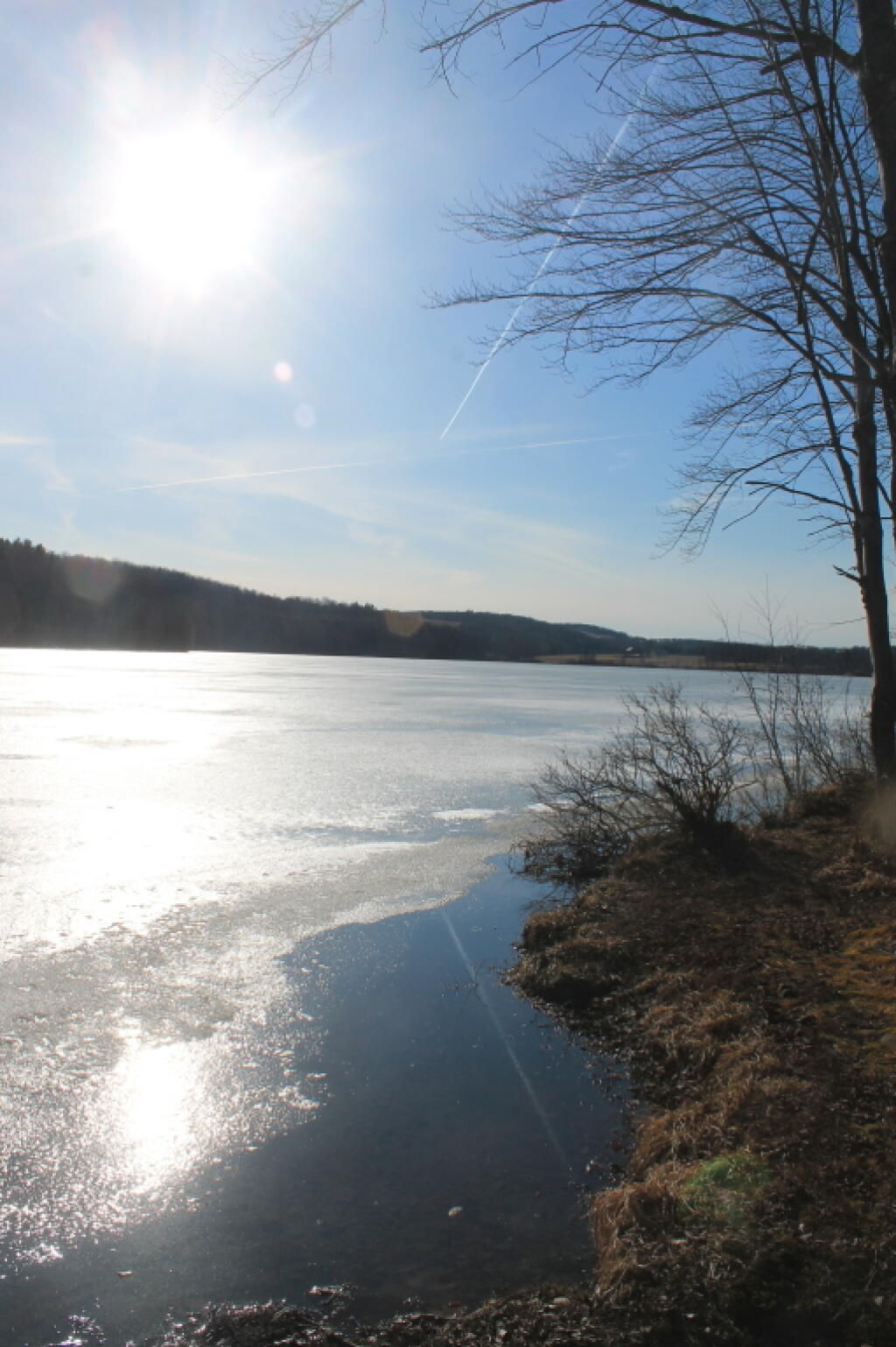
An overview of the amount of land in each classification of the Adirondack Park. Here are a summary of the meanings of the various land classifications.
| CLASS | Acres | Percent |
|---|---|---|
| PRIMITIVE CORRIDOR | 292 | 0.01% |
| UNCLASSIFIED | 365 | 0.01% |
| ADMINISTRATIVE | 391 | 0.02% |
| HISTORIC | 531 | 0.02% |
| CANOE AREA | 18,989 | 0.74% |
| INTENSIVE USE | 23,382 | 0.91% |
| PRIMITIVE | 46,647 | 1.83% |
| WILDERNESS | 1,160,125 | 45.39% |
| WILD FOREST | 1,305,233 | 51.07% |
| TOTAL ADIRONDACK FOREST PRESERVE | 2,555,955 | 100.00% |
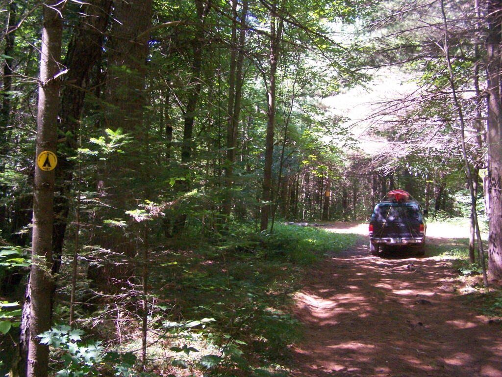
A look at each facility (e.g. campground, wild forest, wilderness area), sorted by size, ascending.
| FACILITY | Acres | Percent |
|---|---|---|
| SIGNAL BUOY ISLAND | 0.1 | 0.0% |
| NORTH CREEK PARKING FISHING ACCESS | 0.2 | 0.0% |
| MILL CREEK PARKING AREA | 0.2 | 0.0% |
| SAINT REGIS MOUNTAIN HISTORIC AREA | 0.2 | 0.0% |
| HURRICANE MOUNTAIN HISTORIC AREA | 0.2 | 0.0% |
| SHEEPSHEAD ISLAND | 0.4 | 0.0% |
| MILL CREEK FISHING ACCESS | 0.5 | 0.0% |
| GARDEN ISLAND | 0.5 | 0.0% |
| GOOSENECK POND PRIMITIVE AREA | 0.6 | 0.0% |
| COLE ISLAND | 0.9 | 0.0% |
| FORTH LAKE BOAT LAUNCH | 1.1 | 0.0% |
| TAHAWAS PRIMITIVE AREA | 1.6 | 0.0% |
| LAKE COLBY ENVIRONMENTAL EDUCATIONAL CAMP | 1.8 | 0.0% |
| MIRROR LAKE BOAT LAUNCH | 1.9 | 0.0% |
| SPOON ISLAND PRIMITIVE AREA | 1.9 | 0.0% |
| GREENE ISLAND MAINTENANCE FACILITY | 1.9 | 0.0% |
| LAKE FLOWER BOAT LAUNCH | 2.1 | 0.0% |
| PORT DOUGLASS BOAT LAUNCH | 2.4 | 0.0% |
| UPPER CHATEAUGAY LAKE BOAT LAUNCH | 2.4 | 0.0% |
| WILMURT CLUB ROAD | 2.9 | 0.0% |
| GREAT SACANDAGA LAKE BOAT LAUNCH | 3.0 | 0.0% |
| TUPPER LAKE BOAT LAUNCH | 3.2 | 0.0% |
| SARANAC LAKE BOAT LAUNCH | 3.3 | 0.0% |
| WESTPORT BOAT LAUNCH | 3.9 | 0.0% |
| PORT HENRY BOAT LAUNCH | 4.3 | 0.0% |
| STILLWATER BOAT LAUNCH | 4.3 | 0.0% |
| SOUTH BAY STATE BOAT LAUNCH | 4.8 | 0.0% |
| CRANBERRY LAKE BOAT LAUNCH | 5.1 | 0.0% |
| RAQUETTE RIVER BOAT LAUNCH | 6.3 | 0.0% |
| PRIMITIVE AREA | 6.6 | 0.0% |
| MIDDLE SARANAC LAKE BOAT LAUNCH | 6.8 | 0.0% |
| LAKE GEORGE FOREST PRESERVE | 7.2 | 0.0% |
| SACANDAGA PRIMITIVE AREA | 7.2 | 0.0% |
| WANAKENA PRIMITIVE CORRIDOR | 7.5 | 0.0% |
| NORTHVILLE-SUB-OFFICE | 7.9 | 0.0% |
| WILLSBORO BAY BOAT LAUNCH | 8.0 | 0.0% |
| FULTON CHAIN BOAT LAUNCH | 9.1 | 0.0% |
| TIED LAKE PRIMITIVE CORRIDOR | 9.8 | 0.0% |
| SARANAC LAKE ISLANDS CAMPGROUND | 9.9 | 0.0% |
| HURRICANE MOUNTAIN PRIMITIVE AREA | 11.2 | 0.0% |
| LOWER SARANAC LAKE BOAT LAUNCH | 13.6 | 0.0% |
| BEAR POND PRIMITIVE CORRIDOR | 14.1 | 0.0% |
| FORKS MOUNTAIN PRIMITIVE CORRIDOR | 14.7 | 0.0% |
| BROADALBIN BOAT LAUNCH | 15.7 | 0.0% |
| MOSSY POINT STATE BOAT LAUNCH | 16.8 | 0.0% |
| ALICE BROOK PRIMITIVE AREA | 18.8 | 0.0% |
| SACANDAGA RIVER STATE BOAT LAUNCH | 19.9 | 0.0% |
| LONG LAKE STATE BOAT LAUNCH | 20.2 | 0.0% |
| EAGLE POINT CAMPGROUND | 21.0 | 0.0% |
| ALDER CREEK PRIMITIVE CORRIDOR | 23.0 | 0.0% |
| SUNY ATMOSPHERIC SCIENCES RESEARCH CENTER | 23.1 | 0.0% |
| RAVEN LAKE PRIMTIVE AREA | 24.7 | 0.0% |
| POPLAR POINT CAMPGROUND | 32.8 | 0.0% |
| LAKE GEORGE BATTLEGROUND CAMPGROUND | 33.5 | 0.0% |
| CAMP SANTANONI | 36.1 | 0.0% |
| TIOGA POINT CAMPGROUND | 36.2 | 0.0% |
| ALGER ISLAND CAMPGROUND | 37.6 | 0.0% |
| PARTLOW LAKE PRIMITIVE CORRIDOR | 39.0 | 0.0% |
| PRIMITVE AREA | 45.4 | 0.0% |
| BUCK POND PRIMITIVE CORRIDOR | 47.8 | 0.0% |
| CAROGA LAKE CAMPGROUND | 49.1 | 0.0% |
| DUG MT. PRIMITIVE AREA | 49.7 | 0.0% |
| LEWEY LAKE CAMPGROUND | 53.4 | 0.0% |
| LITTLE SAND POINT CAMPGROUND | 66.5 | 0.0% |
| CROWN POINT CAMPGROUND | 73.6 | 0.0% |
| ADIRONDACK FISH HATCHERY | 74.1 | 0.0% |
| POINT COMFORT CAMPGROUND | 75.0 | 0.0% |
| LAKE GEORGE BATTLEFIELD DAY USE AREA | 81.3 | 0.0% |
| BOQUET RIVER PRIMTIVE AREA | 85.5 | 0.0% |
| NEHASANE PRIMITIVE CORRIDOR | 87.6 | 0.0% |
| SUCKER LAKE WATER ACCESS | 90.6 | 0.0% |
| FIRST BROTHER PRIMITIVE AREA | 91.4 | 0.0% |
| HEARTHSTONE POINT CAMPGROUND | 97.4 | 0.0% |
| GOLDEN BEACH CAMPGROUND | 98.6 | 0.0% |
| INDIAN LAKE ISLANDS CAMPGROUND | 102.1 | 0.0% |
| JOHN BROWNS FARM HISTORIC SITE | 104.6 | 0.0% |
| SACANDAGA CAMPGROUND | 116.8 | 0.0% |
| MEADOWBROOK CAMPGROUND | 117.8 | 0.0% |
| WILMINGTON NOTCH CAMPGROUND | 119.7 | 0.0% |
| LINCOLN POND CAMPGROUND | 134.1 | 0.0% |
| JOHNS BROOK PRIMITIVE AREA | 146.6 | 0.0% |
| TAYLOR POND CAMPGROUND | 146.8 | 0.0% |
| LAKE EATON CAMPGROUND | 152.1 | 0.0% |
| CAMP GABRIELS | 158.0 | 0.0% |
| SCHUYLER ISLAND PRIMITIVE AREA | 167.3 | 0.0% |
| CATHEAD MTN. PRIMITIVE AREA | 172.9 | 0.0% |
| SHARP BRIDGE CAMPGROUND | 192.9 | 0.0% |
| NORTHAMPTON BEACH CAMPGROUND | 219.2 | 0.0% |
| WAKELY MOUNTAIN PRIMITIVE AREA | 224.1 | 0.0% |
| LAKE HARRIS CAMPGROUND | 233.4 | 0.0% |
| SCAROON MANOR DAY USE AREA | 240.2 | 0.0% |
| EIGHTH LAKE CAMPGROUND | 242.0 | 0.0% |
| AUSABLE POINT CAMPGROUND | 259.5 | 0.0% |
| CRANBERRY LAKE CAMPGROUND | 264.2 | 0.0% |
| LIMEKILN LAKE CAMPGROUND | 266.0 | 0.0% |
| BROWN TRACT POND CAMPGROUND | 272.9 | 0.0% |
| POKE-O-MOONSHINE CAMPGROUND | 274.1 | 0.0% |
| LAKE DURANT CAMPGROUND | 276.4 | 0.0% |
| PARADOX LAKE CAMPGROUND | 287.8 | 0.0% |
| BUCK POND CAMPGROUND | 302.3 | 0.0% |
| ROGERS ROCK CAMPGROUND | 307.7 | 0.0% |
| FORKED LAKE CAMPGROUND | 346.8 | 0.0% |
| MEACHAM LAKE CAMPGROUND | 359.6 | 0.0% |
| UNCLASSIFIED | 364.7 | 0.0% |
| MOFFITT BEACH CAMPGROUND | 386.0 | 0.0% |
| CROWN POINT HISTORIC AREA | 389.9 | 0.0% |
| AMPERSAND PRIMITIVE AREA | 423.5 | 0.0% |
| ROLLINS POND CAMPGROUND | 518.9 | 0.0% |
| BALD LEDGE PRIMITIVE AREA | 556.5 | 0.0% |
| FISH CREEK POND CAMPGROUND | 560.1 | 0.0% |
| HINCKELY RESERVOIR DAY USE AREA | 568.7 | 0.0% |
| LAKE GEORGE ISLANDS CAMPGROUND | 593.5 | 0.0% |
| NICKS LAKE CAMPGROUND | 699.6 | 0.0% |
| PUTNAM POND CAMPGROUND | 850.1 | 0.0% |
| LUZERNE CAMPGROUND | 853.2 | 0.0% |
| VALCOUR ISLAND PRIMITIVE AREA | 956.9 | 0.0% |
| PROSPECT MOUNTAIN | 1,001.7 | 0.0% |
| DEAD CREEK PRIMITIVE AREA | 1,134.9 | 0.0% |
| MT. VAN HOEVENBERG SPORTS FACILITY | 1,476.6 | 0.1% |
| DEER RIVER PRIMITIVE AREA | 1,870.0 | 0.1% |
| EASTERN FIVE PONDS ACCESS PRIMITIVE AREA | 1,907.8 | 0.1% |
| MOOSE RIVER PLAINS CAMPING AREA | 2,907.1 | 0.1% |
| WHITEFACE MTN. SKI CENTER | 3,015.9 | 0.1% |
| WEST CANADA MTN. PRIMITIVE AREA | 3,137.5 | 0.1% |
| RAQUETTE RIVER WILD FOREST | 3,550.2 | 0.1% |
| SPLIT ROCK WILD FOREST | 3,662.5 | 0.1% |
| GORE MTN. SKI CENTER | 3,783.7 | 0.1% |
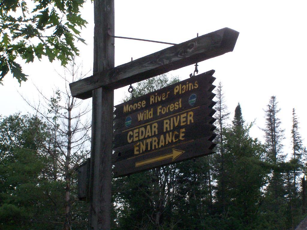
| MADAWASKA FLOW – QUEBEC BROOK PRIMITIVE AREA | 6,035.6 | 0.2% |
| JAY MTN. WILDERNESS | 7,892.3 | 0.3% |
| WHITE HILL WILD FOREST | 9,640.6 | 0.4% |
| ROUND LAKE WILDERNESS | 11,426.7 | 0.4% |
| LITTLE MOOSE MOUNTAIN WILDERNESS | 12,277.8 | 0.5% |
| RAQUETTE-JORDAN BOREAL PRIMITIVE AREA | 12,437.4 | 0.5% |
| GRASSE RIVER WILD FOREST | 13,172.6 | 0.5% |
| WATSON EAST TRIANGLE WILD FOREST | 13,424.3 | 0.5% |
| HURRICANE MOUNTAIN WILDERNESS | 13,986.7 | 0.5% |
| PEPPERBOX WILDERNESS | 14,580.0 | 0.6% |
| FULTON CHAIN WILD FOREST | 15,948.9 | 0.6% |
| HORSESHOE LAKE WILD FOREST | 17,139.7 | 0.7% |
| HUDSON GORGE PRIMITIVE AREA | 17,161.8 | 0.7% |
| WILMINGTON WILD FOREST | 17,493.2 | 0.7% |
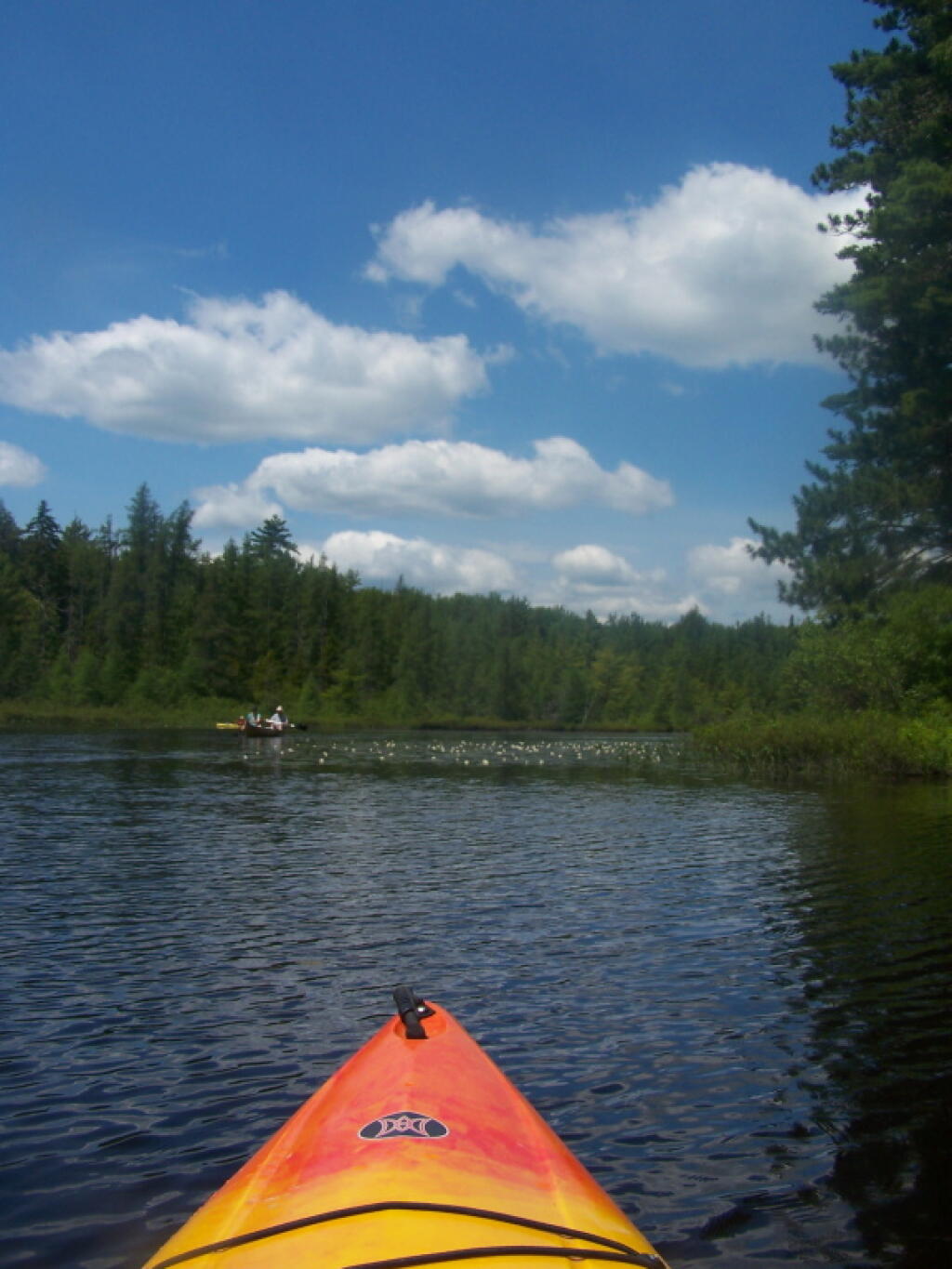
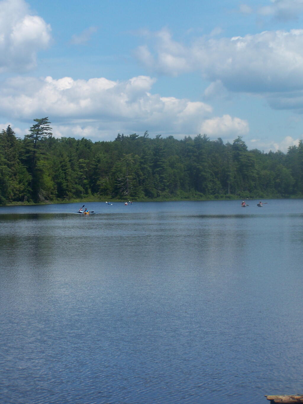
| SAINT REGIS CANOE AREA | 18,989.0 | 0.7% |
| WILLIAM C. WHITNEY WILDERNESS | 19,273.7 | 0.8% |
| GIANT MTN. WILDERNESS | 23,460.5 | 0.9% |
| SENTINEL RANGE WILDERNESS | 23,991.8 | 0.9% |
| HA-DE-RON-DAH WILDERNESS | 25,788.3 | 1.0% |
| CRANBERRY LAKE WILD FOREST | 25,897.3 | 1.0% |
| ALDRICH POND WILD FOREST | 26,179.6 | 1.0% |
| MCKENZIE MTN. WILDERNESS | 37,464.1 | 1.5% |
| BLUE MTN. WILD FOREST | 38,394.3 | 1.5% |
| HOFFMAN NOTCH WILDERNESS | 38,497.6 | 1.5% |
| TAYLOR POND WILD FOREST | 39,134.9 | 1.5% |
| SHAKER MOUNTAIN WILD FOREST | 41,360.7 | 1.6% |
| SARGENT PONDS WILD FOREST | 43,532.3 | 1.7% |
| DIX MTN. WILDERNESS | 44,753.8 | 1.8% |
| HAMMOND POND WILD FOREST | 45,907.0 | 1.8% |
| PHARAOH LAKE WILDERNESS | 46,071.3 | 1.8% |
| BLUE RIDGE WILDERNESS | 47,297.2 | 1.9% |
| CHAZY HIGHLANDS WILD FOREST | 47,855.6 | 1.9% |
| JESSUP RIVER WILD FOREST | 48,228.7 | 1.9% |
| PIGEON LAKE WILDERNESS | 50,390.5 | 2.0% |
| MOOSE RIVER PLAINS WILD FOREST | 66,624.9 | 2.6% |
| LAKE GEORGE WILD FOREST | 71,157.1 | 2.8% |
| DEBAR MTN. WILD FOREST | 75,893.9 | 3.0% |
| SARANAC LAKES WILD FOREST | 77,726.8 | 3.0% |
| INDEPENDENCE RIVER WILD FOREST | 79,096.6 | 3.1% |
| VANDERWHACKER MTN. WILD FOREST | 83,986.5 | 3.3% |
| SILVER LAKE WILDERNESS | 108,848.6 | 4.3% |
| SIAMESE PONDS WILDERNESS | 114,923.8 | 4.5% |
| WILCOX LAKE WILD FOREST | 125,839.3 | 4.9% |
| BLACK RIVER WILD FOREST | 127,156.6 | 5.0% |
| FIVE PONDS WILDERNESS | 139,228.7 | 5.4% |
| FERRIS LAKE WILD FOREST | 147,184.3 | 5.8% |
| WEST CANADA LAKE WILDERNESS | 174,292.4 | 6.8% |
| HIGH PEAKS WILDERNESS | 205,772.7 | 8.1% |
| TOTAL ADIRONDACK FOREST PRESERVE | 2,555,955.4 | 100.0% |
Now each class of land, broken down by Class, Unit, Facility, Acreage, and Percent.
| CLASS | UNIT | FACILITY | Acres | Percent |
|---|---|---|---|---|
| ADMINISTRATIVE | DEBAR MTN. | CAMP GABRIELS | 158.0 | 0.0% |
| FERRIS LAKE | FERRIS LAKE WILD FOREST | 3.3 | 0.0% | |
| GRASSE RIVER | GRASSE RIVER WILD FOREST | 7.4 | 0.0% | |
| LAKE GEORGE | GREENE ISLAND MAINTENANCE FACILITY | 1.9 | 0.0% | |
| SARANAC LAKES | ADIRONDACK FISH HATCHERY | 74.1 | 0.0% | |
| SARANAC LAKES WILD FOREST | 35.8 | 0.0% | ||
| WILCOX LAKE | NORTHVILLE-SUB-OFFICE | 7.9 | 0.0% | |
| WILLIAM C. WHITNEY | WILLIAM C. WHITNEY WILDERNESS | 79.4 | 0.0% | |
| WILMINGTON | SUNY ATMOSPHERIC SCIENCES RESEARCH CENTER | 23.1 | 0.0% | |
| TOTAL ADMINISTRATIVE | 391.0 | 0.0% | ||
| CANOE AREA | SAINT REGIS | SAINT REGIS CANOE AREA | 18,989.0 | 0.7% |
| TOTAL CANOE AREA | 18,989.0 | 0.7% | ||
| HISTORIC | HAMMOND POND | CROWN POINT HISTORIC AREA | 389.9 | 0.0% |
| HURRICANE MOUNTAIN | HURRICANE MOUNTAIN HISTORIC AREA | 0.2 | 0.0% | |
| SAINT REGIS | SAINT REGIS MOUNTAIN HISTORIC AREA | 0.2 | 0.0% | |
| SARANAC LAKES | JOHN BROWNS FARM HISTORIC SITE | 104.6 | 0.0% | |
| VANDERWHACKER MOUNTAIN | CAMP SANTANONI | 36.1 | 0.0% | |
| TOTAL HISTORIC | 531.0 | 0.0% | ||
| INTENSIVE USE | BLACK RIVER | NICKS LAKE CAMPGROUND | 699.6 | 0.0% |
| BLUE MTN. | LAKE DURANT CAMPGROUND | 276.4 | 0.0% | |
| LONG LAKE STATE BOAT LAUNCH | 20.2 | 0.0% | ||
| BOG RIVER | TUPPER LAKE BOAT LAUNCH | 3.2 | 0.0% | |
| CHAZY HIGHLANDS | UPPER CHATEAUGAY LAKE BOAT LAUNCH | 2.4 | 0.0% | |
| CRANBERRY LAKE | CRANBERRY LAKE BOAT LAUNCH | 5.1 | 0.0% | |
| CRANBERRY LAKE CAMPGROUND | 264.2 | 0.0% | ||
| DEBAR MTN. | BUCK POND CAMPGROUND | 302.3 | 0.0% | |
| MEACHAM LAKE CAMPGROUND | 359.6 | 0.0% | ||
| FERRIS LAKE | HINCKELY RESERVOIR DAY USE AREA | 568.7 | 0.0% | |
| LITTLE SAND POINT CAMPGROUND | 66.5 | 0.0% | ||
| POINT COMFORT CAMPGROUND | 75.0 | 0.0% | ||
| FULTON CHAIN | ALGER ISLAND CAMPGROUND | 37.6 | 0.0% | |
| FORTH LAKE BOAT LAUNCH | 1.1 | 0.0% | ||
| HAMMOND POND | CROWN POINT CAMPGROUND | 73.6 | 0.0% | |
| LINCOLN POND CAMPGROUND | 134.1 | 0.0% | ||
| PARADOX LAKE CAMPGROUND | 287.8 | 0.0% | ||
| PORT HENRY BOAT LAUNCH | 4.3 | 0.0% | ||
| SHARP BRIDGE CAMPGROUND | 192.9 | 0.0% | ||
| INDEPENDENCE RIVER | STILLWATER BOAT LAUNCH | 4.3 | 0.0% | |
| JESSUP RIVER | INDIAN LAKE ISLANDS CAMPGROUND | 102.1 | 0.0% | |
| LEWEY LAKE CAMPGROUND | 53.4 | 0.0% | ||
| MOFFITT BEACH CAMPGROUND | 386.0 | 0.0% | ||
| POPLAR POINT CAMPGROUND | 32.8 | 0.0% | ||
| LAKE GEORGE | HEARTHSTONE POINT CAMPGROUND | 97.4 | 0.0% | |
| LAKE GEORGE BATTLEFIELD DAY USE AREA | 81.3 | 0.0% | ||
| LAKE GEORGE BATTLEGROUND CAMPGROUND | 33.5 | 0.0% | ||
| LAKE GEORGE FOREST PRESERVE | 7.2 | 0.0% | ||
| LAKE GEORGE ISLANDS CAMPGROUND | 593.5 | 0.0% | ||
| LUZERNE CAMPGROUND | 853.2 | 0.0% | ||
| MOSSY POINT STATE BOAT LAUNCH | 16.8 | 0.0% | ||
| PROSPECT MOUNTAIN | 1,001.7 | 0.0% | ||
| ROGERS ROCK CAMPGROUND | 307.7 | 0.0% | ||
| SOUTH BAY STATE BOAT LAUNCH | 4.8 | 0.0% | ||
| MOOSE RIVER PLAINS | BROWN TRACT POND CAMPGROUND | 272.9 | 0.0% | |
| EIGHTH LAKE CAMPGROUND | 242.0 | 0.0% | ||
| FULTON CHAIN BOAT LAUNCH | 9.1 | 0.0% | ||
| LIMEKILN LAKE CAMPGROUND | 266.0 | 0.0% | ||
| MOOSE RIVER PLAINS CAMPING AREA | 2,907.1 | 0.1% | ||
| PHARAOH LAKE | PUTNAM POND CAMPGROUND | 850.1 | 0.0% | |
| SARANAC LAKES | FISH CREEK POND CAMPGROUND | 560.1 | 0.0% | |
| LAKE COLBY ENVIRONMENTAL EDUCATIONAL CAMP | 1.8 | 0.0% | ||
| LAKE FLOWER BOAT LAUNCH | 2.1 | 0.0% | ||
| LOWER SARANAC LAKE BOAT LAUNCH | 13.6 | 0.0% | ||
| MEADOWBROOK CAMPGROUND | 117.8 | 0.0% | ||
| MIDDLE SARANAC LAKE BOAT LAUNCH | 6.8 | 0.0% | ||
| MIRROR LAKE BOAT LAUNCH | 1.9 | 0.0% | ||
| MT. VAN HOEVENBERG SPORTS FACILITY | 1,476.6 | 0.1% | ||
| RAQUETTE RIVER BOAT LAUNCH | 6.3 | 0.0% | ||
| ROLLINS POND CAMPGROUND | 518.9 | 0.0% | ||
| SARANAC LAKE BOAT LAUNCH | 3.3 | 0.0% | ||
| SARANAC LAKE ISLANDS CAMPGROUND | 9.9 | 0.0% | ||
| SARGENT PONDS | FORKED LAKE CAMPGROUND | 346.8 | 0.0% | |
| GOLDEN BEACH CAMPGROUND | 98.6 | 0.0% | ||
| LAKE EATON CAMPGROUND | 152.1 | 0.0% | ||
| TIOGA POINT CAMPGROUND | 36.2 | 0.0% | ||
| SHAKER MOUNTAIN | CAROGA LAKE CAMPGROUND | 49.1 | 0.0% | |
| NORTHAMPTON BEACH CAMPGROUND | 219.2 | 0.0% | ||
| SACANDAGA RIVER STATE BOAT LAUNCH | 19.9 | 0.0% | ||
| TAYLOR POND | AUSABLE POINT CAMPGROUND | 259.5 | 0.0% | |
| POKE-O-MOONSHINE CAMPGROUND | 274.1 | 0.0% | ||
| PORT DOUGLASS BOAT LAUNCH | 2.4 | 0.0% | ||
| TAYLOR POND CAMPGROUND | 146.8 | 0.0% | ||
| WESTPORT BOAT LAUNCH | 3.9 | 0.0% | ||
| WILLSBORO BAY BOAT LAUNCH | 8.0 | 0.0% | ||
| VANDERWHACKER MOUNTAIN | EAGLE POINT CAMPGROUND | 21.0 | 0.0% | |
| GORE MTN. SKI CENTER | 3,783.7 | 0.1% | ||
| LAKE HARRIS CAMPGROUND | 233.4 | 0.0% | ||
| SCAROON MANOR DAY USE AREA | 240.2 | 0.0% | ||
| WHITEFACE MTN. SKI CENTER | WHITEFACE MTN. SKI CENTER | 3,015.9 | 0.1% | |
| WILMINGTON NOTCH CAMPGROUND | 119.7 | 0.0% | ||
| WILCOX LAKE | BROADALBIN BOAT LAUNCH | 15.7 | 0.0% | |
| GREAT SACANDAGA LAKE BOAT LAUNCH | 3.0 | 0.0% | ||
| SACANDAGA CAMPGROUND | 116.8 | 0.0% | ||
| TOTAL INTENSIVE USE | 23,382.3 | 0.9% | ||
| PRIMITIVE | ALDRICH POND | PRIMITVE AREA | 45.4 | 0.0% |
| BLUE RIDGE | WAKELY MOUNTAIN PRIMITIVE AREA | 224.1 | 0.0% | |
| DEBAR MTN. | DEER RIVER PRIMITIVE AREA | 1,870.0 | 0.1% | |
| MADAWASKA FLOW – QUEBEC BROOK PRIMITIVE AREA | 6,035.6 | 0.2% | ||
| FIVE PONDS | ALICE BROOK PRIMITIVE AREA | 18.8 | 0.0% | |
| EASTERN FIVE PONDS ACCESS PRIMITIVE AREA | 1,907.8 | 0.1% | ||
| GIANT MTN. | BOQUET RIVER PRIMTIVE AREA | 85.5 | 0.0% | |
| HIGH PEAKS | AMPERSAND PRIMITIVE AREA | 423.5 | 0.0% | |
| JOHNS BROOK PRIMITIVE AREA | 146.6 | 0.0% | ||
| TAHAWAS PRIMITIVE AREA | 1.6 | 0.0% | ||
| HORSESHOE LAKE | DEAD CREEK PRIMITIVE AREA | 1,134.9 | 0.0% | |
| HUDSON GORGE | HUDSON GORGE PRIMITIVE AREA | 17,161.8 | 0.7% | |
| HURRICANE MOUNTAIN | HURRICANE MOUNTAIN PRIMITIVE AREA | 11.2 | 0.0% | |
| LAKE CHAMPLAIN ISLANDS | COLE ISLAND | 0.9 | 0.0% | |
| GARDEN ISLAND | 0.5 | 0.0% | ||
| SCHUYLER ISLAND PRIMITIVE AREA | 167.3 | 0.0% | ||
| SHEEPSHEAD ISLAND | 0.4 | 0.0% | ||
| SIGNAL BUOY ISLAND | 0.1 | 0.0% | ||
| SPOON ISLAND PRIMITIVE AREA | 1.9 | 0.0% | ||
| VALCOUR ISLAND PRIMITIVE AREA | 956.9 | 0.0% | ||
| PHARAOH LAKE | BALD LEDGE PRIMITIVE AREA | 556.5 | 0.0% | |
| FIRST BROTHER PRIMITIVE AREA | 91.4 | 0.0% | ||
| GOOSENECK POND PRIMITIVE AREA | 0.6 | 0.0% | ||
| RAQUETTE RIVER | RAQUETTE-JORDAN BOREAL PRIMITIVE AREA | 12,437.4 | 0.5% | |
| SENTINEL RANGE | PRIMITIVE AREA | 6.6 | 0.0% | |
| SIAMESE PONDS | DUG MT. PRIMITIVE AREA | 49.7 | 0.0% | |
| SILVER LAKE | CATHEAD MTN. PRIMITIVE AREA | 172.9 | 0.0% | |
| WEST CANADA LAKE | WEST CANADA MTN. PRIMITIVE AREA | 3,137.5 | 0.1% | |
| TOTAL PRIMITIVE | 46,647.3 | 1.8% | ||
| PRIMITIVE CORRIDOR | FIVE PONDS | ALDER CREEK PRIMITIVE CORRIDOR | 23.0 | 0.0% |
| BEAR POND PRIMITIVE CORRIDOR | 14.1 | 0.0% | ||
| BUCK POND PRIMITIVE CORRIDOR | 47.8 | 0.0% | ||
| PARTLOW LAKE PRIMITIVE CORRIDOR | 39.0 | 0.0% | ||
| TIED LAKE PRIMITIVE CORRIDOR | 9.8 | 0.0% | ||
| WANAKENA PRIMITIVE CORRIDOR | 7.5 | 0.0% | ||
| PEPPERBOX | RAVEN LAKE PRIMTIVE AREA | 24.7 | 0.0% | |
| SIAMESE PONDS | FORKS MOUNTAIN PRIMITIVE CORRIDOR | 14.7 | 0.0% | |
| SILVER LAKE | SACANDAGA PRIMITIVE AREA | 7.2 | 0.0% | |
| WEST CANADA LAKE | WEST CANADA LAKE WILDERNESS | 13.8 | 0.0% | |
| WILMURT CLUB ROAD | 2.9 | 0.0% | ||
| WILLIAM C. WHITNEY | NEHASANE PRIMITIVE CORRIDOR | 87.6 | 0.0% | |
| TOTAL PRIMITIVE CORRIDOR | 291.9 | 0.0% | ||
| UNCLASSIFIED | UNCLASSIFIED | UNCLASSIFIED | 364.7 | 0.0% |
| TOTAL UNCLASSIFIED | 364.7 | 0.0% | ||
| WILD FOREST | ALDRICH POND | ALDRICH POND WILD FOREST | 26,179.6 | 1.0% |
| SUCKER LAKE WATER ACCESS | 90.6 | 0.0% | ||
| BLACK RIVER | BLACK RIVER WILD FOREST | 127,156.6 | 5.0% | |
| BLUE MTN. | BLUE MTN. WILD FOREST | 38,394.3 | 1.5% | |
| CHAZY HIGHLANDS | CHAZY HIGHLANDS WILD FOREST | 47,855.6 | 1.9% | |
| CRANBERRY LAKE | CRANBERRY LAKE WILD FOREST | 25,897.3 | 1.0% | |
| DEBAR MTN. | DEBAR MTN. WILD FOREST | 75,893.9 | 3.0% | |
| FERRIS LAKE | FERRIS LAKE WILD FOREST | 147,181.0 | 5.8% | |
| FULTON CHAIN | FULTON CHAIN WILD FOREST | 15,948.9 | 0.6% | |
| GRASSE RIVER | GRASSE RIVER WILD FOREST | 13,165.1 | 0.5% | |
| HAMMOND POND | HAMMOND POND WILD FOREST | 45,907.0 | 1.8% | |
| HORSESHOE LAKE | HORSESHOE LAKE WILD FOREST | 17,139.7 | 0.7% | |
| INDEPENDENCE RIVER | INDEPENDENCE RIVER WILD FOREST | 79,096.6 | 3.1% | |
| JESSUP RIVER | JESSUP RIVER WILD FOREST | 48,228.7 | 1.9% | |
| LAKE GEORGE | LAKE GEORGE WILD FOREST | 71,157.1 | 2.8% | |
| MOOSE RIVER PLAINS | MOOSE RIVER PLAINS WILD FOREST | 66,624.9 | 2.6% | |
| RAQUETTE RIVER | RAQUETTE RIVER WILD FOREST | 3,550.2 | 0.1% | |
| SARANAC LAKES | SARANAC LAKES WILD FOREST | 77,691.0 | 3.0% | |
| SARGENT PONDS | SARGENT PONDS WILD FOREST | 43,532.3 | 1.7% | |
| SHAKER MOUNTAIN | SHAKER MOUNTAIN WILD FOREST | 41,360.7 | 1.6% | |
| SPLIT ROCK | SPLIT ROCK WILD FOREST | 3,662.5 | 0.1% | |
| TAYLOR POND | TAYLOR POND WILD FOREST | 39,134.9 | 1.5% | |
| VANDERWHACKER MOUNTAIN | NORTH CREEK PARKING FISHING ACCESS | 0.2 | 0.0% | |
| VANDERWHACKER MTN. WILD FOREST | 83,986.5 | 3.3% | ||
| WATSON EAST TRIANGLE | WATSON EAST TRIANGLE WILD FOREST | 13,424.3 | 0.5% | |
| WHITE HILL | WHITE HILL WILD FOREST | 9,640.6 | 0.4% | |
| WILCOX LAKE | MILL CREEK FISHING ACCESS | 0.5 | 0.0% | |
| MILL CREEK PARKING AREA | 0.2 | 0.0% | ||
| WILCOX LAKE WILD FOREST | 125,839.3 | 4.9% | ||
| WILMINGTON | WILMINGTON WILD FOREST | 17,493.2 | 0.7% | |
| TOTAL WILD FOREST | 1,305,233.2 | 51.1% | ||
| WILDERNESS | BLUE RIDGE | BLUE RIDGE WILDERNESS | 47,297.2 | 1.9% |
| DIX MTN. | DIX MTN. WILDERNESS | 44,753.8 | 1.8% | |
| FIVE PONDS | FIVE PONDS WILDERNESS | 139,228.7 | 5.4% | |
| GIANT MTN. | GIANT MTN. WILDERNESS | 23,460.5 | 0.9% | |
| HA-DE-RON-DAH | HA-DE-RON-DAH WILDERNESS | 25,788.3 | 1.0% | |
| HIGH PEAKS | HIGH PEAKS WILDERNESS | 205,772.7 | 8.1% | |
| HOFFMAN NOTCH | HOFFMAN NOTCH WILDERNESS | 38,497.6 | 1.5% | |
| HURRICANE MOUNTAIN | HURRICANE MOUNTAIN WILDERNESS | 13,986.7 | 0.5% | |
| JAY MTN. | JAY MTN. WILDERNESS | 7,892.3 | 0.3% | |
| LITTLE MOOSE MOUNTAIN | LITTLE MOOSE MOUNTAIN WILDERNESS | 12,277.8 | 0.5% | |
| MCKENZIE MTN. | MCKENZIE MTN. WILDERNESS | 37,464.1 | 1.5% | |
| PEPPERBOX | PEPPERBOX WILDERNESS | 14,580.0 | 0.6% | |
| PHARAOH LAKE | PHARAOH LAKE WILDERNESS | 46,071.3 | 1.8% | |
| PIGEON LAKE | PIGEON LAKE WILDERNESS | 50,390.5 | 2.0% | |
| ROUND LAKE | ROUND LAKE WILDERNESS | 11,426.7 | 0.4% | |
| SENTINEL RANGE | SENTINEL RANGE WILDERNESS | 23,991.8 | 0.9% | |
| SIAMESE PONDS | SIAMESE PONDS WILDERNESS | 114,923.8 | 4.5% | |
| SILVER LAKE | SILVER LAKE WILDERNESS | 108,848.6 | 4.3% | |
| WEST CANADA LAKE | WEST CANADA LAKE WILDERNESS | 174,278.6 | 6.8% | |
| WILLIAM C. WHITNEY | WILLIAM C. WHITNEY WILDERNESS | 19,194.3 | 0.8% | |
| TOTAL WILDERNESS | 1,160,125.2 | 45.4% | ||
| TOTAL ADIRONDACK FOREST PRESERVE | 2,555,955.4 | 100.0% |