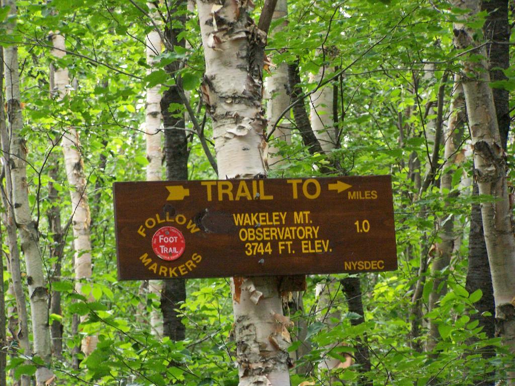
On the afternoon of Thursday July 22nd I hiked up to the Wakley Mountain Firetower. The weather wasn’t perfect, but it was still quite popular, passing several hikers and families visting this tower. The views are pretty good, but probably not as good as Pillsbury Mountain or Snowy Mountain to the south. The nice thing is it’s a 5 minute drive from Cedar River Flow and pretty close from Moose River Plans too, and provides a great overview of the Plains.
You can print the above map, by clicking it, to be taken to a high resolution (500 DPI) that will print nicely on a laser or inkjet printer.
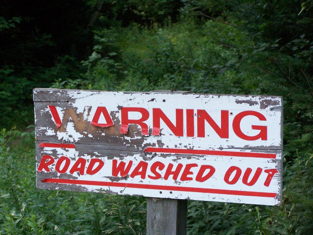
When you first start up the mountain, you pass a “Warning! Road Washed Out” sign. This sign is at the parking area for Wakely Mountain, to warn drivers that they won’t get very far on Wakely Mountain Road, since the DEC has basically abandoned it.
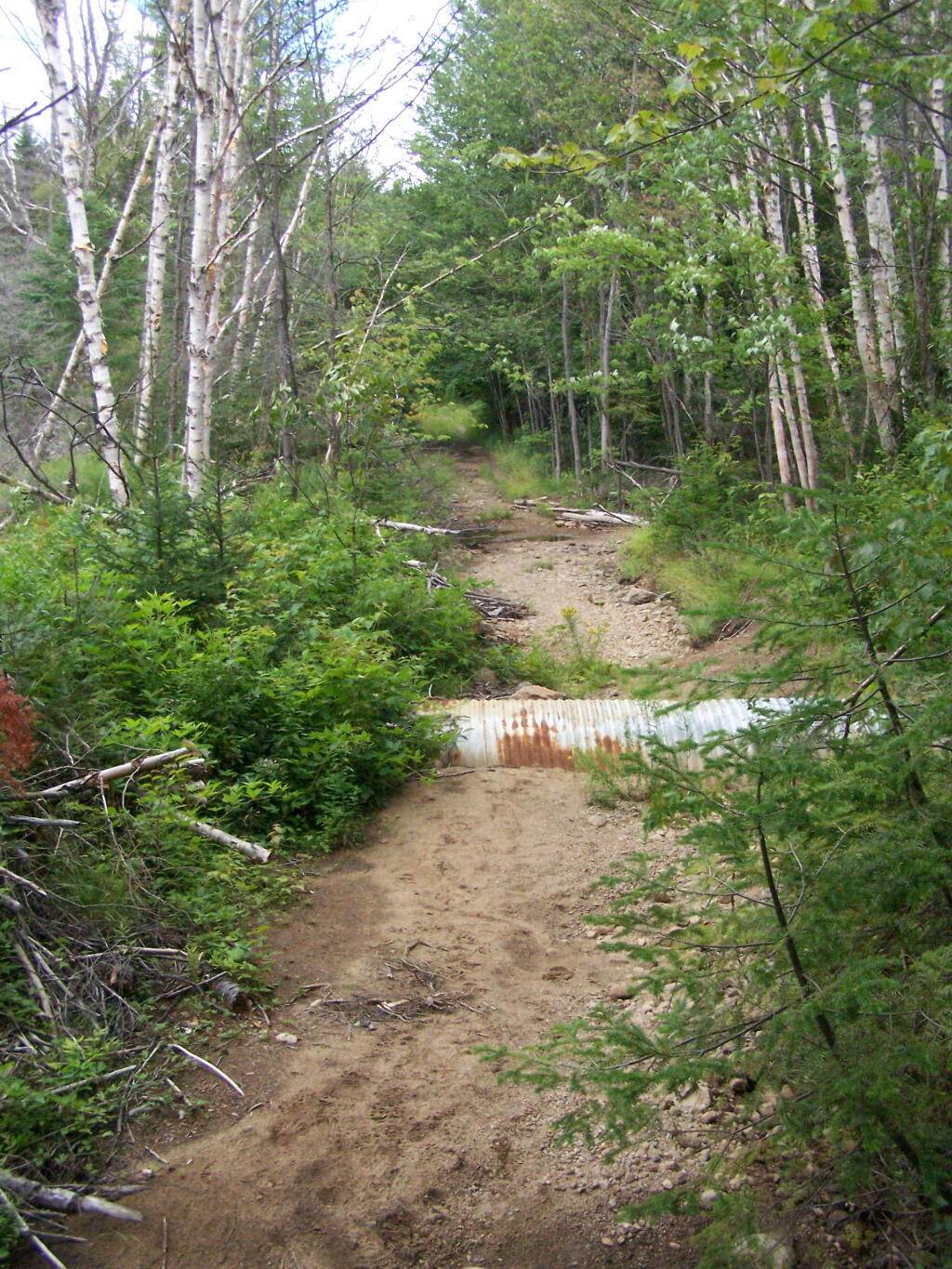
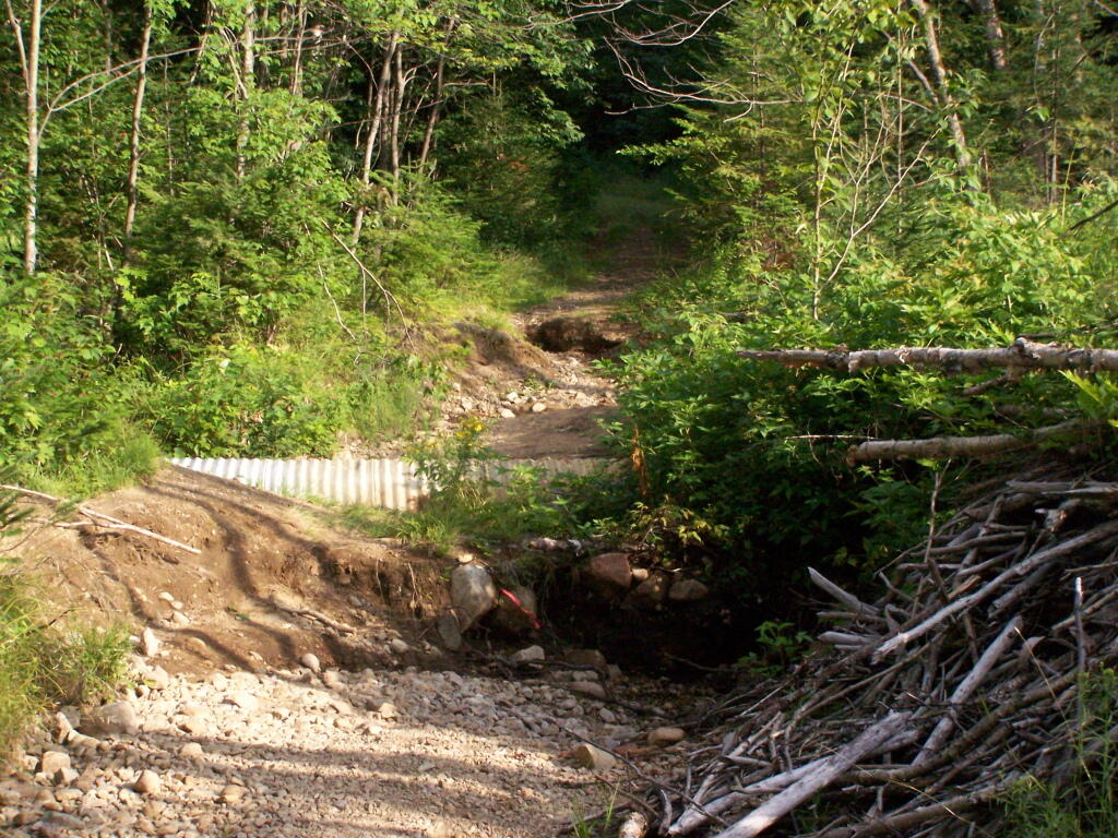
Washed Out Road to Wakely Mountain. I honestly don’t expect the DEC to fix this road, but instead will make people walk the entire 3 miles up the mountain, because that keeps the eco-facists happy.
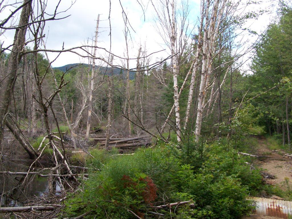
The End of Wakely Road. That said, you’d be hard press to get a vehicle this far, due to the wash out at the earlier marsh.
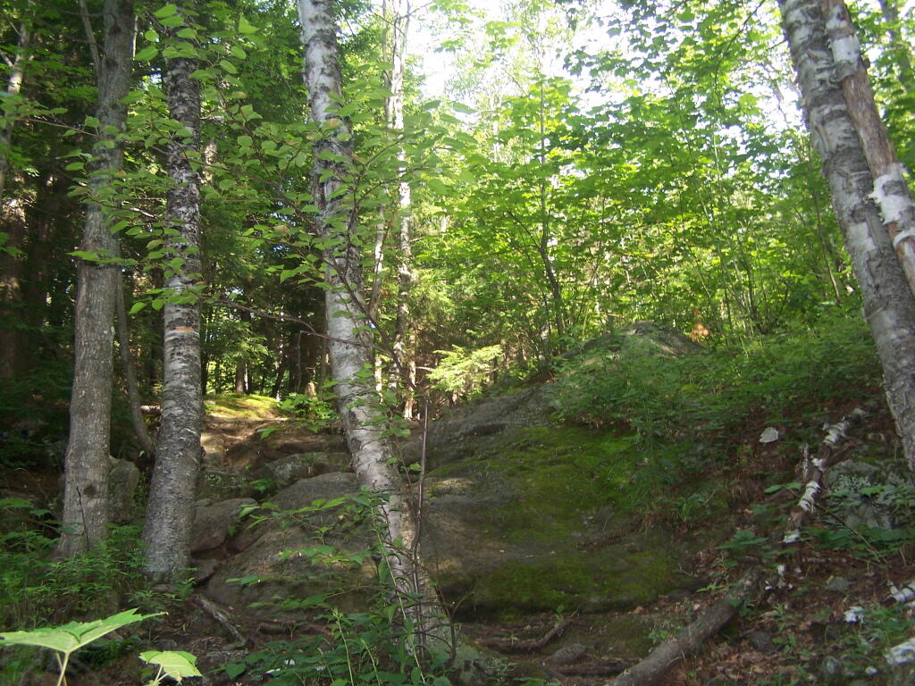
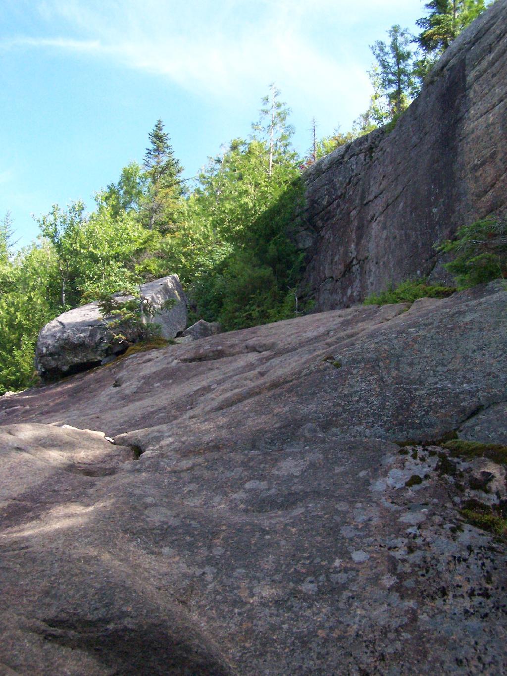
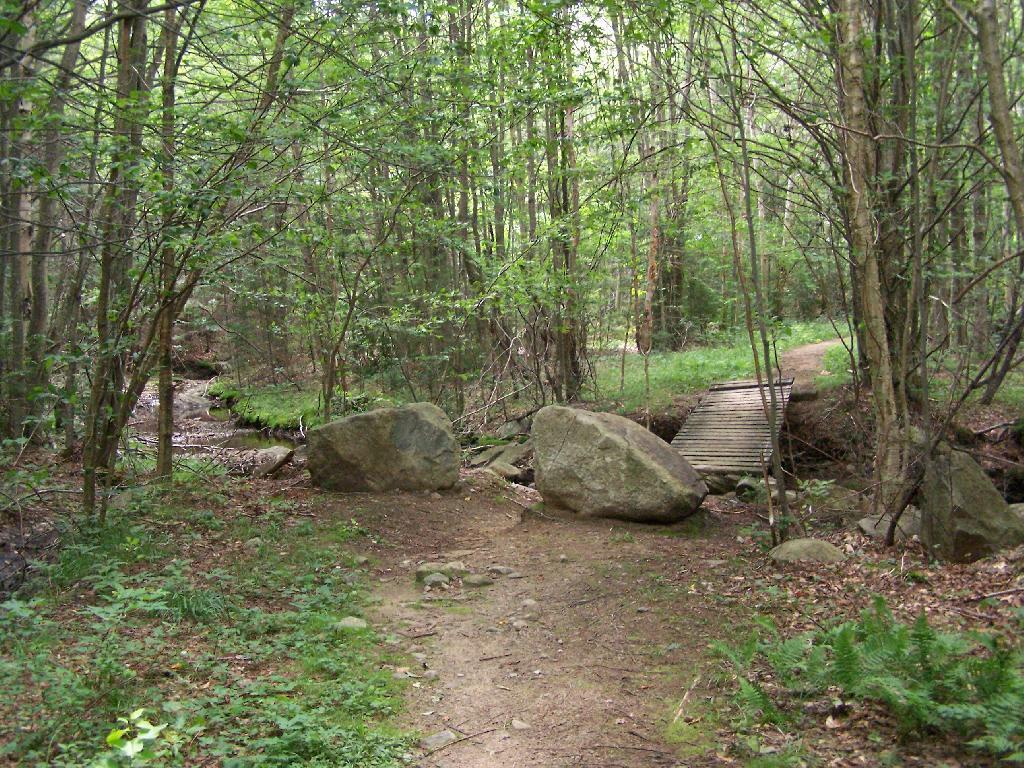
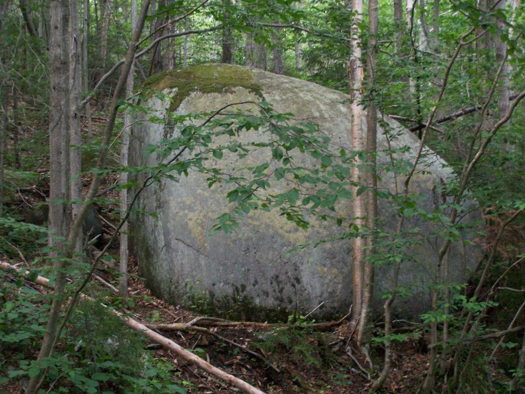
As you climb, you pass this big boulder On side of Wakely.
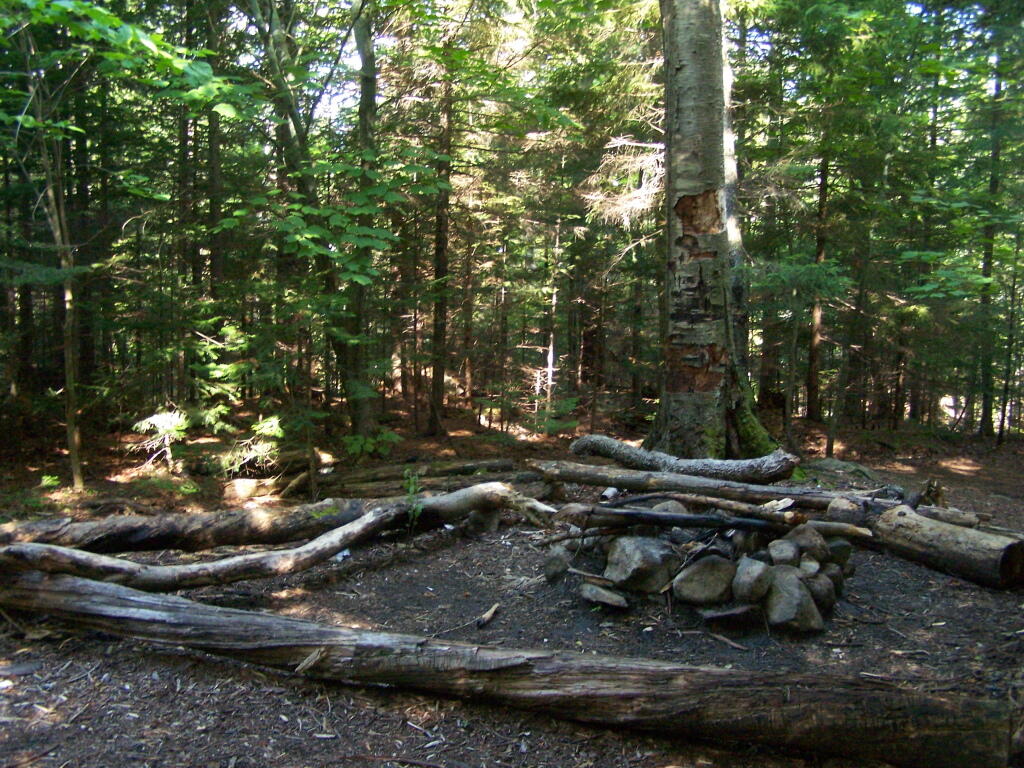
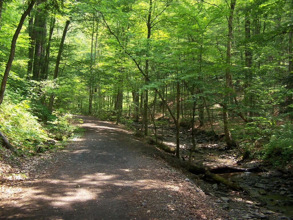
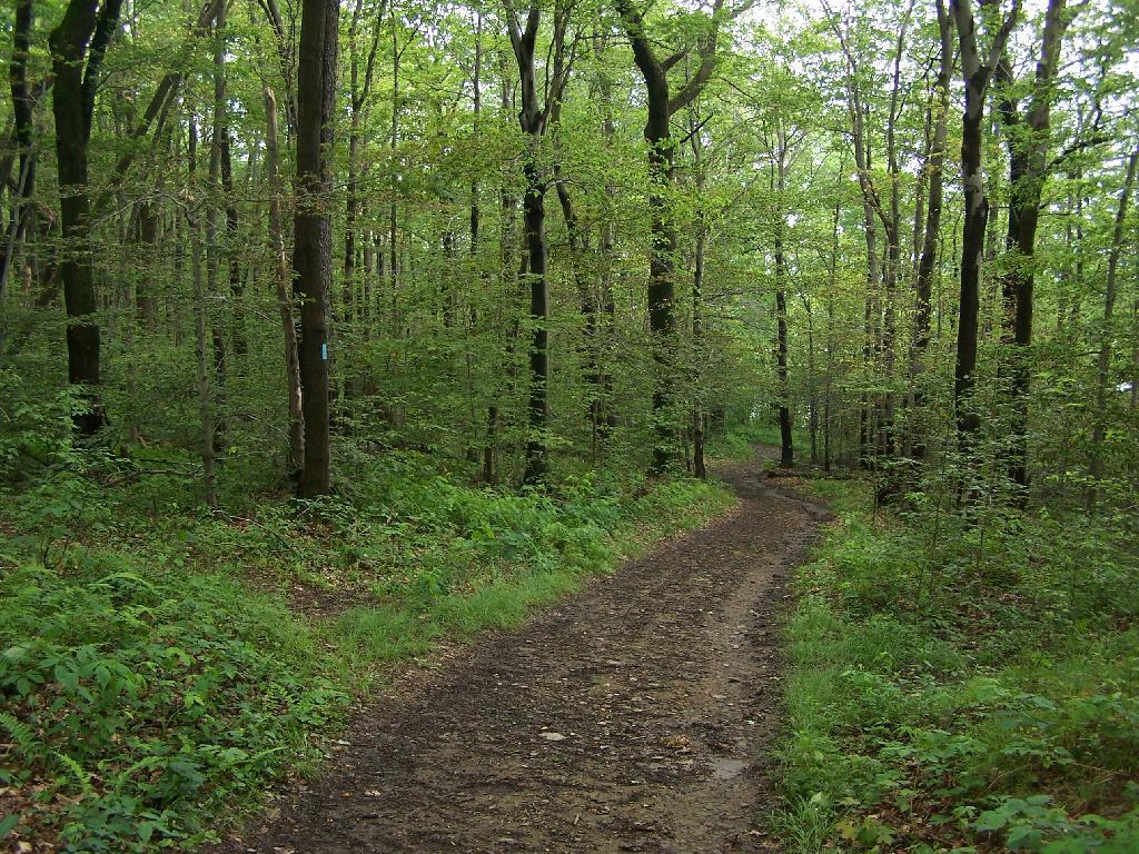
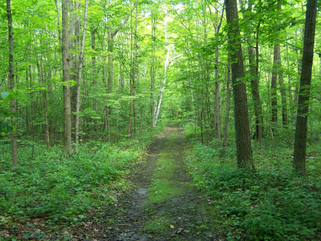
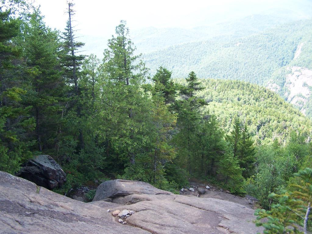
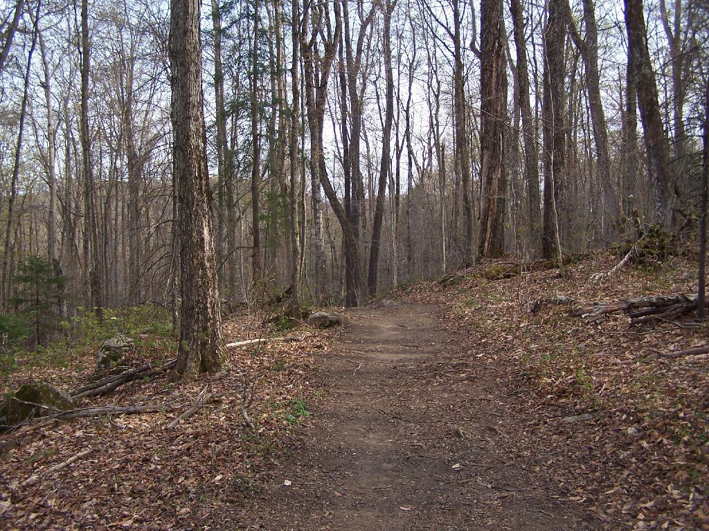
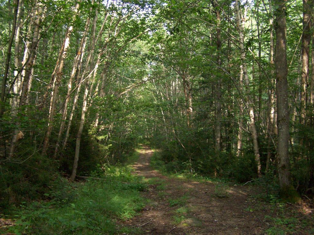
The first two miles of the trail are pretty flat, a small incline that increases above 400 feet in elevation over two miles.
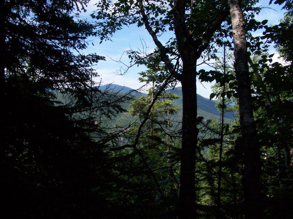
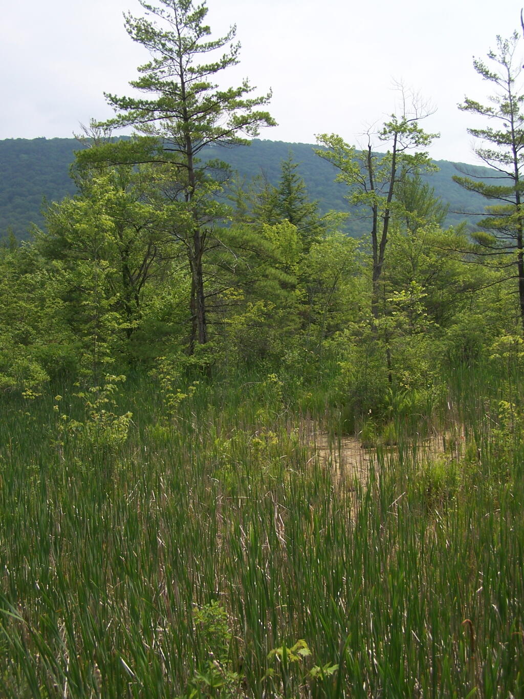
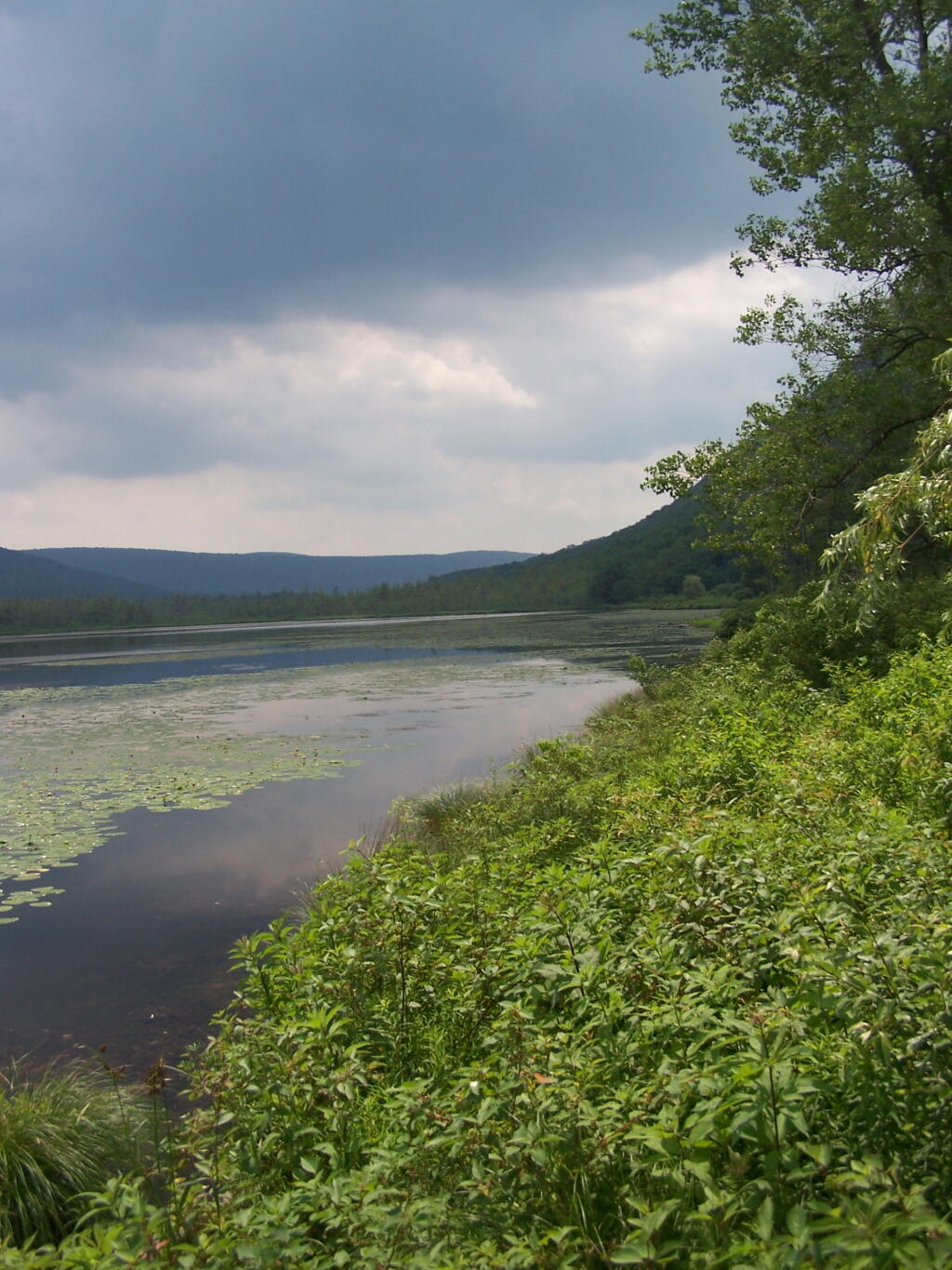
Marsh Along Wakely Mountain Trail. That’s Payne Mountain, not Wakely Mountain in the background.
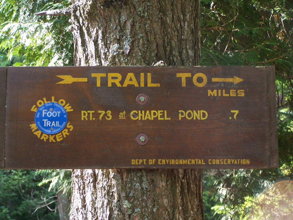
The Final Mile. You might think the previous two miles of the Wakely Mountain trail where easy, rising maybe 300 feet, until you hit the last mile, as indicated by this sign. It’s another 1200 feet on up for that last mile.
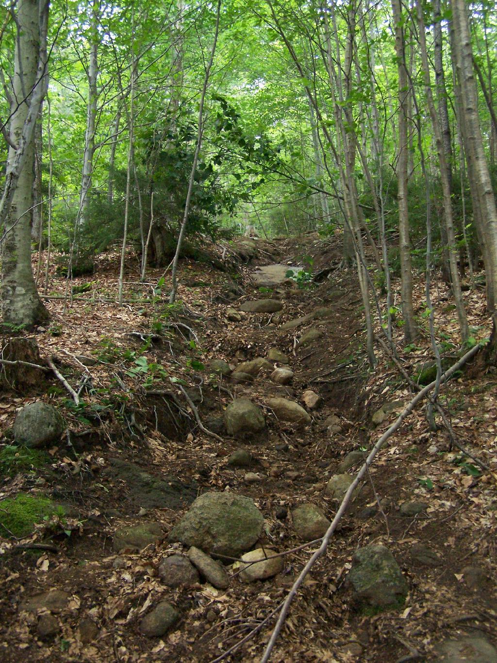
The trail up Wakely Mountain is badly eroded due to heavy use and neglect by the DEC.
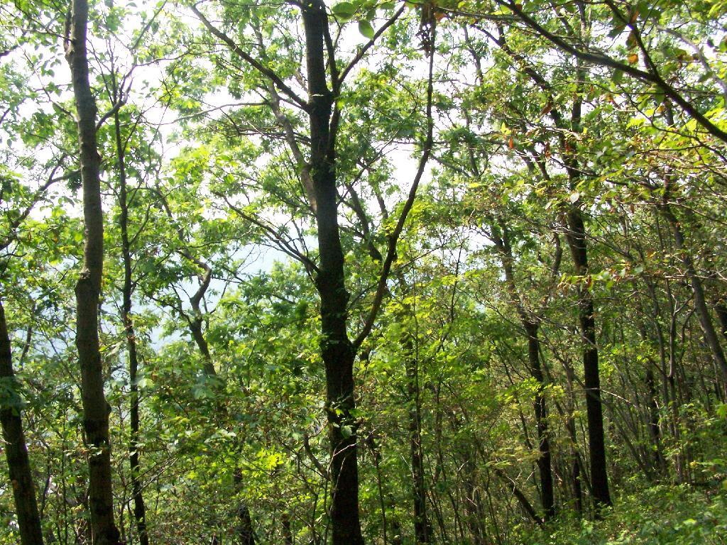
The last mile up Wakely Mountain is a long one, especially if you start late in the afternoon as I did. You are treated with some limited views while climbing Wakely Mountain, but all and all, there isn’t a lot to see except steep trail (but no open rock face!).
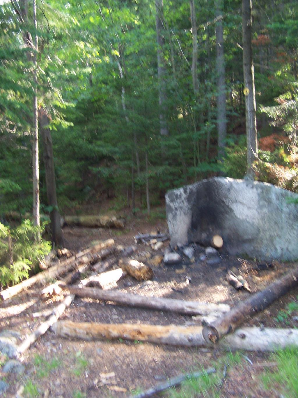
Once you almost reach the top of the mountain, you come to the Wakely Mountain Helipad. This is used by emergency responders, providing quick access to the top of mountain, to either access the tower for observation, or to help those injured on top of the mountain.
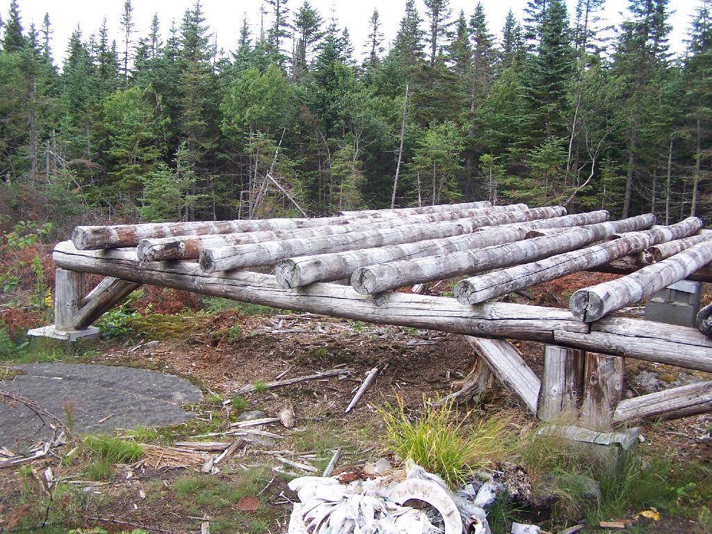
Next to helipad is a trash pile. I was wondering how this trash ended up top of the mountain, but after thinking about it a bit, it probably was trash from the ranger’s cabin, that was dumped here some time in the past, and was dug up in the re-construction of the helipad.
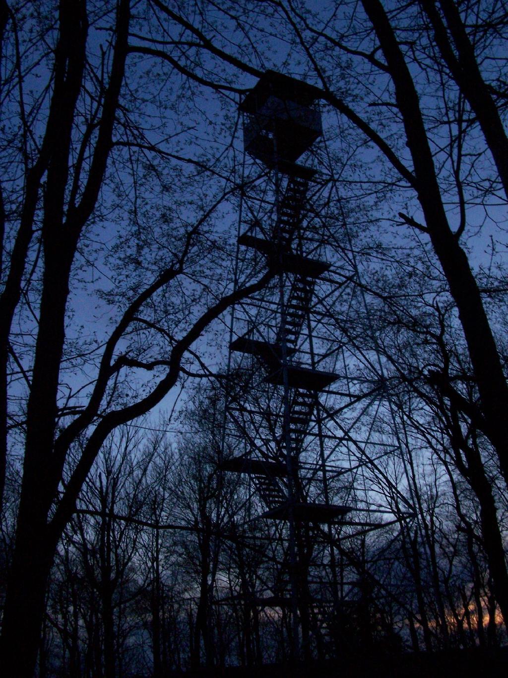
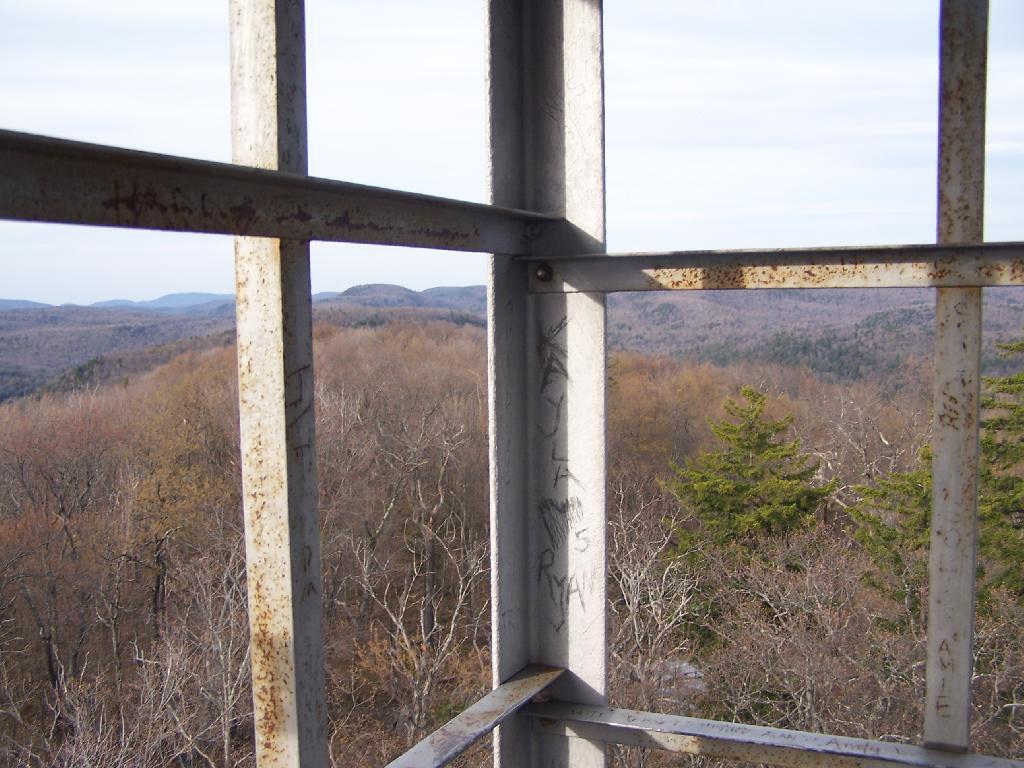
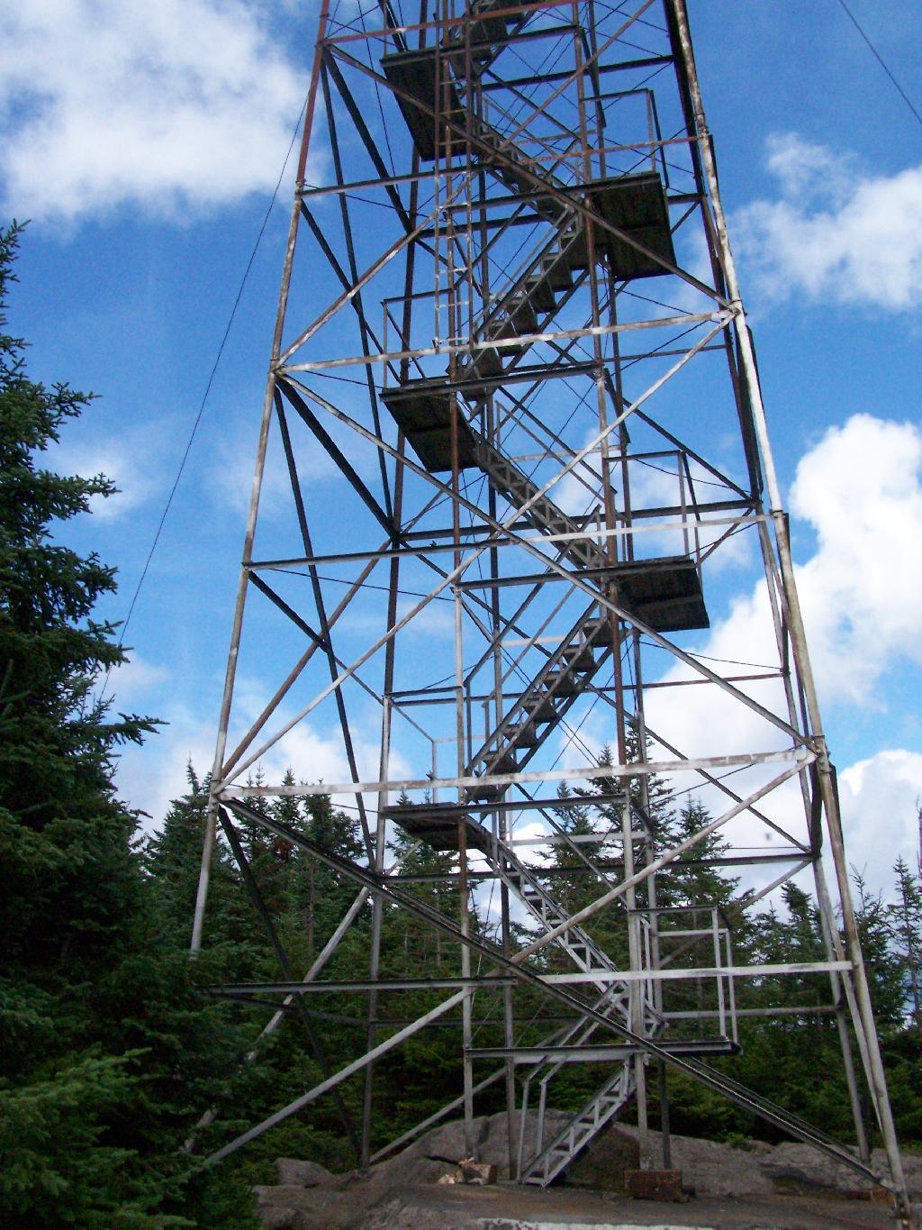
Eventually you reach the fire tower, about a 500 feet from the Helipad. The Wakely Fire Tower is an interesting Aeromotor LS 25 tower, that originally lacked a staircase, but was added in the form of an internal ladder, for the convience of hikers and the fire warden alike. Prior to the 1919 addition of the “stairs tower within the fire tower”, you had to climb a ladder on the side of the tower, to get all 60 feet to the top of the tower.
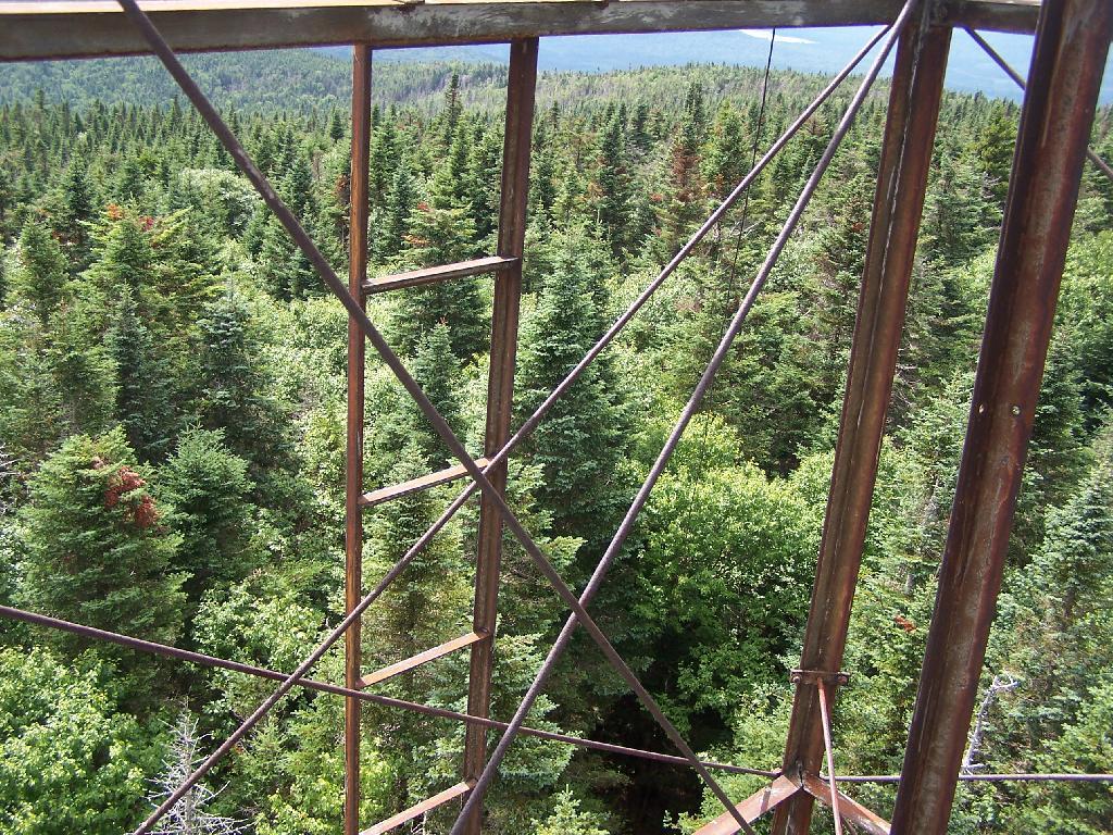
Here is the original ladder you had to climb. They removed the lower flights to discourage people from trying to use the ladder, although the stairs themselves also lack any safety fencing, so it’s a bit scary if your not used to climbing towers.
A close up over the tower within the tower.
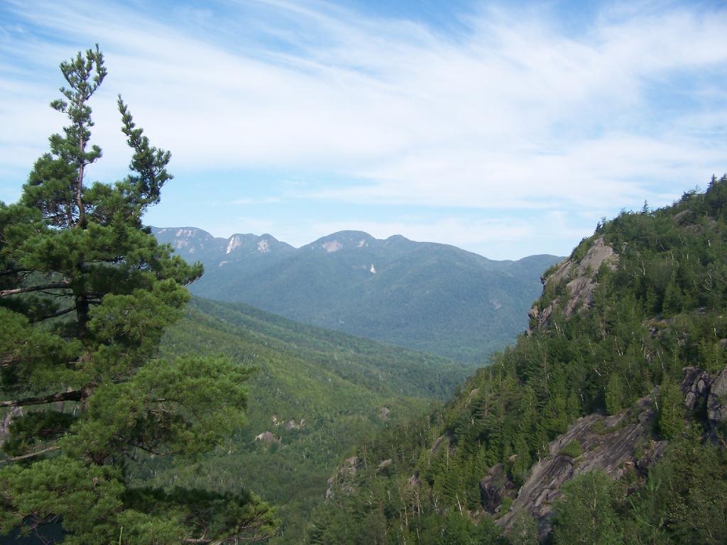
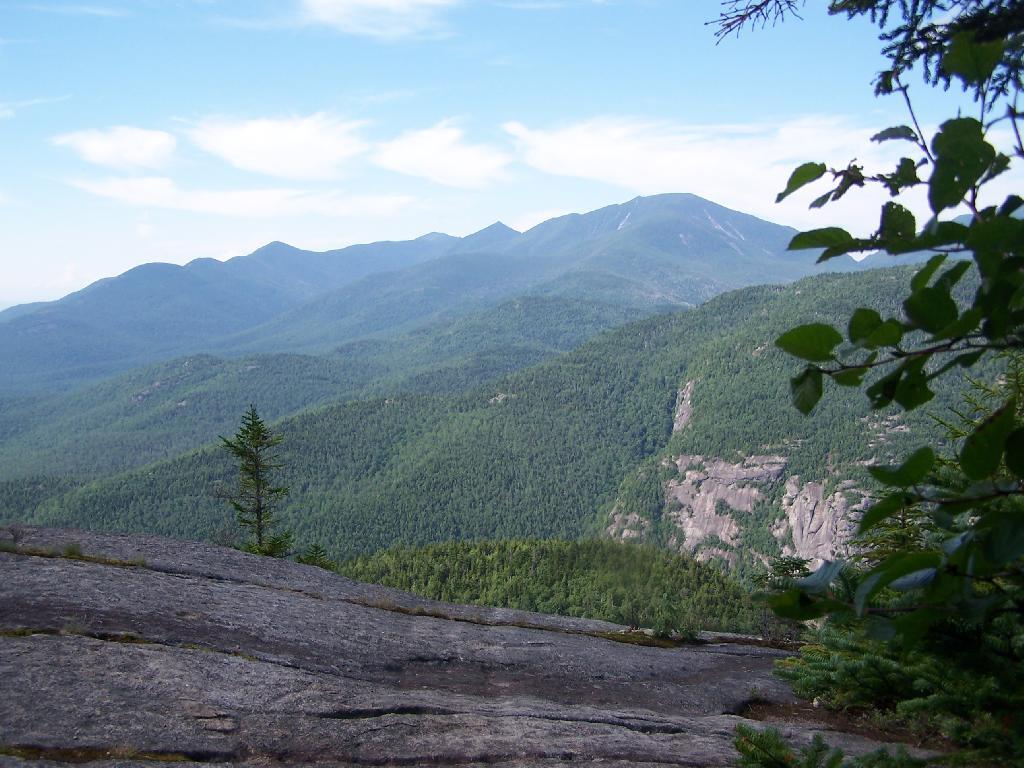
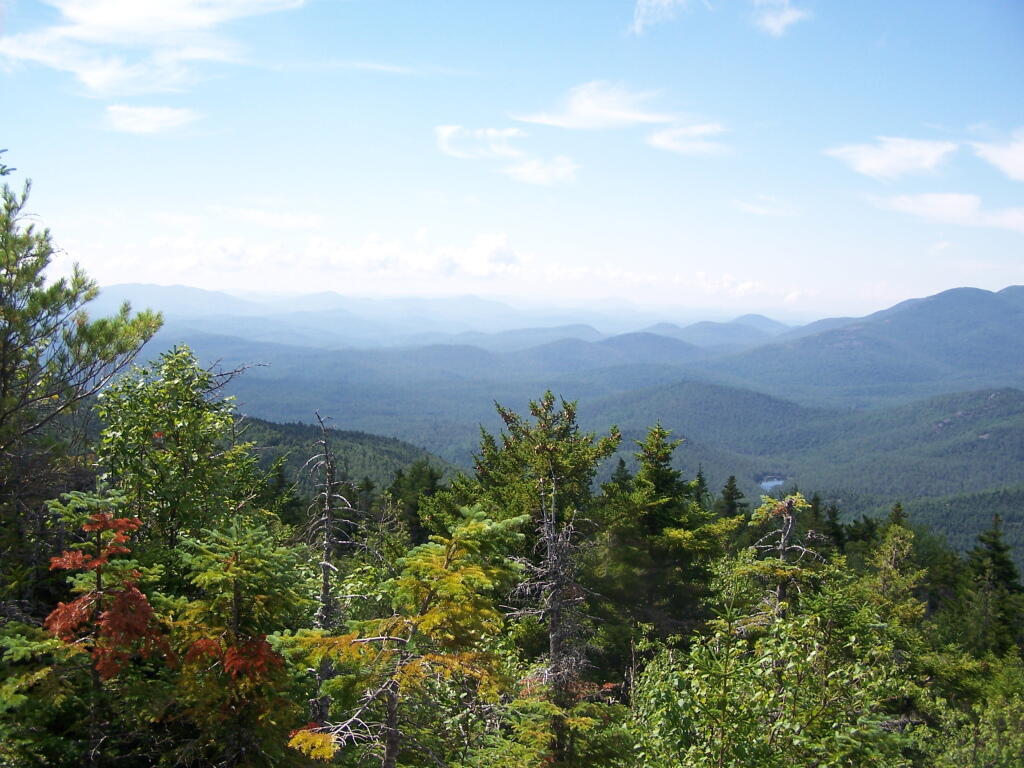
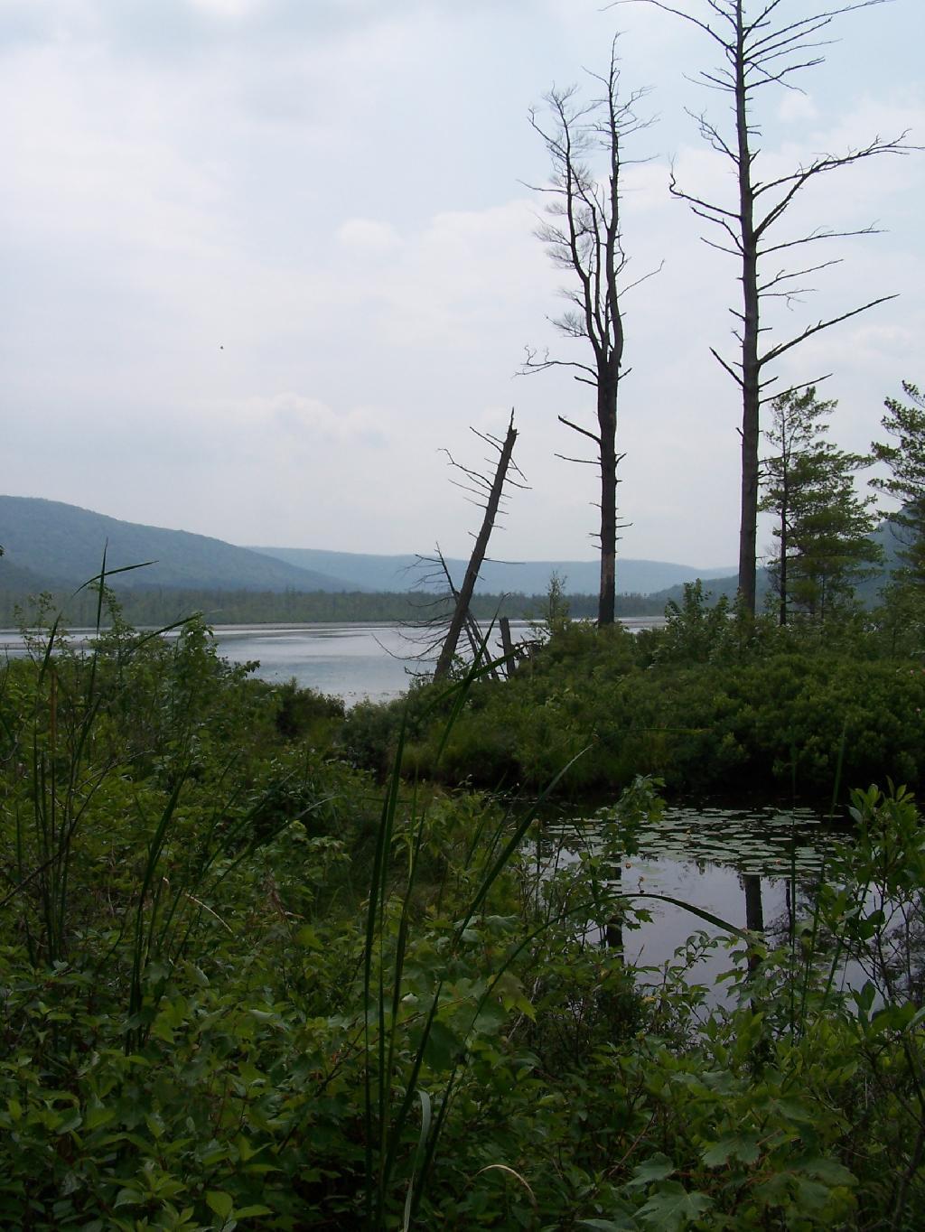
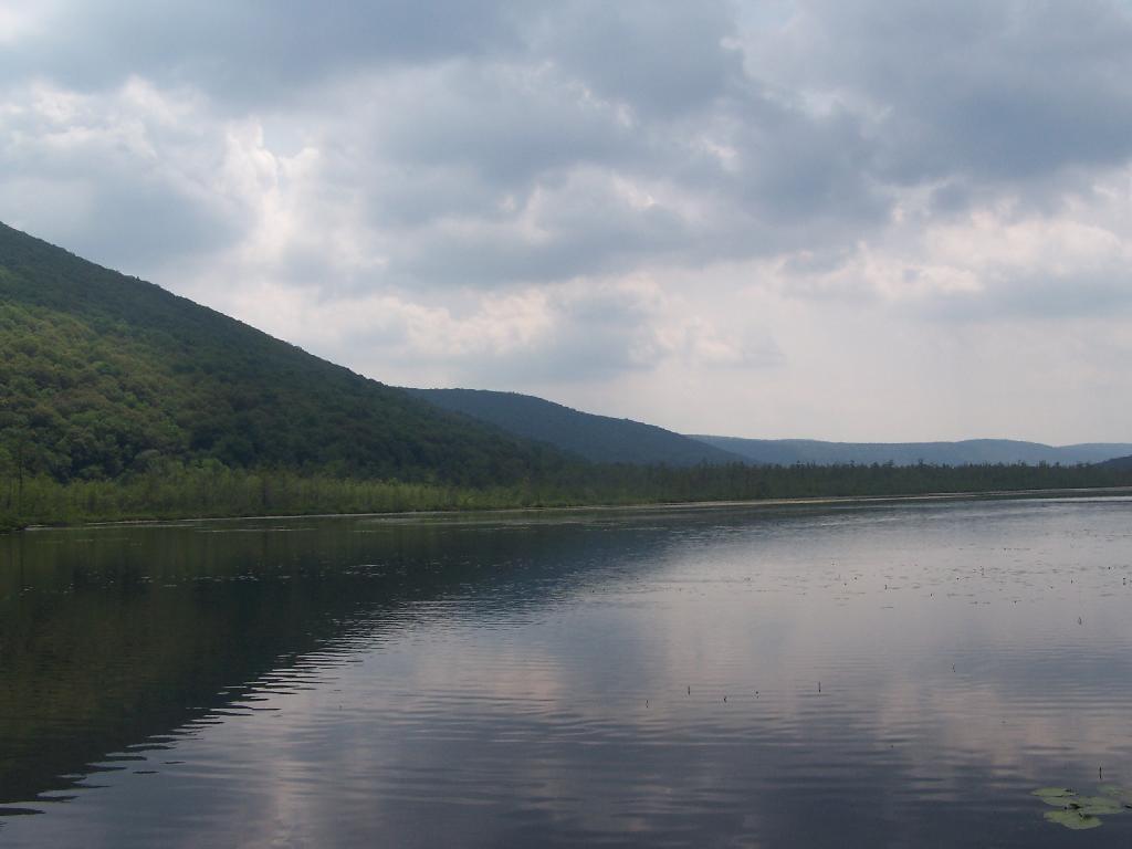
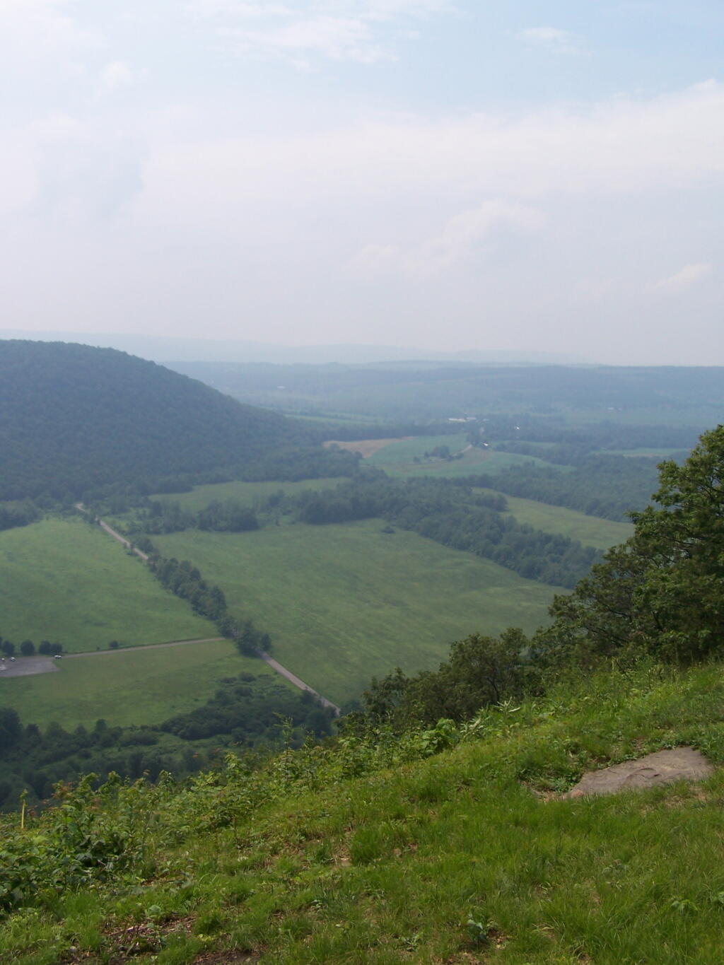
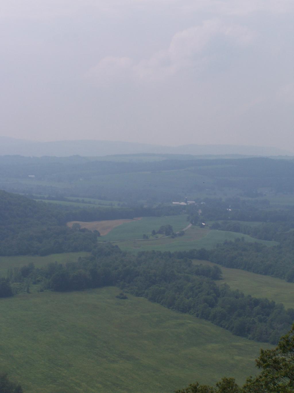
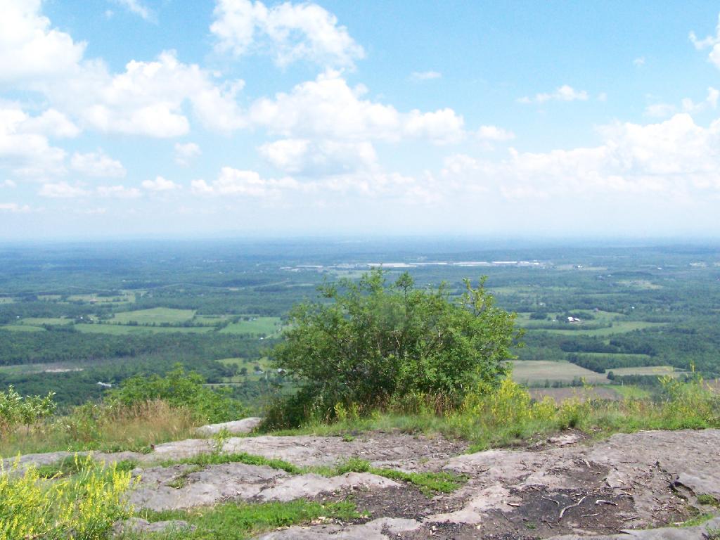
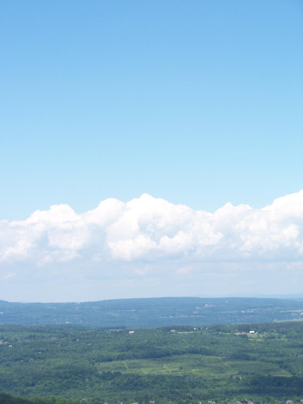
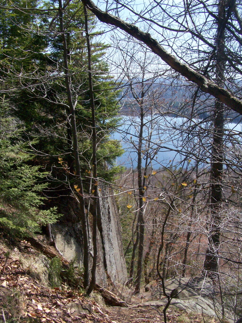
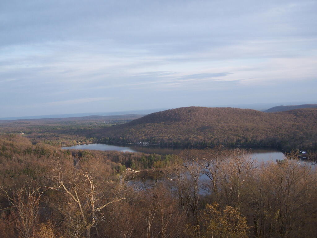
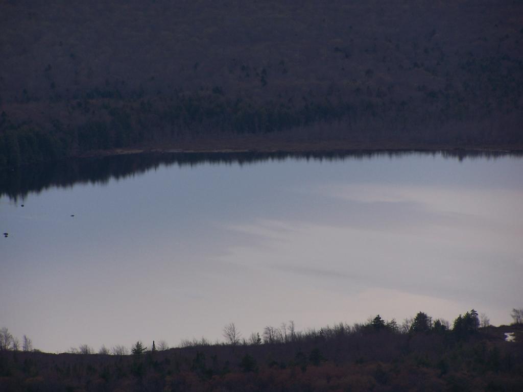
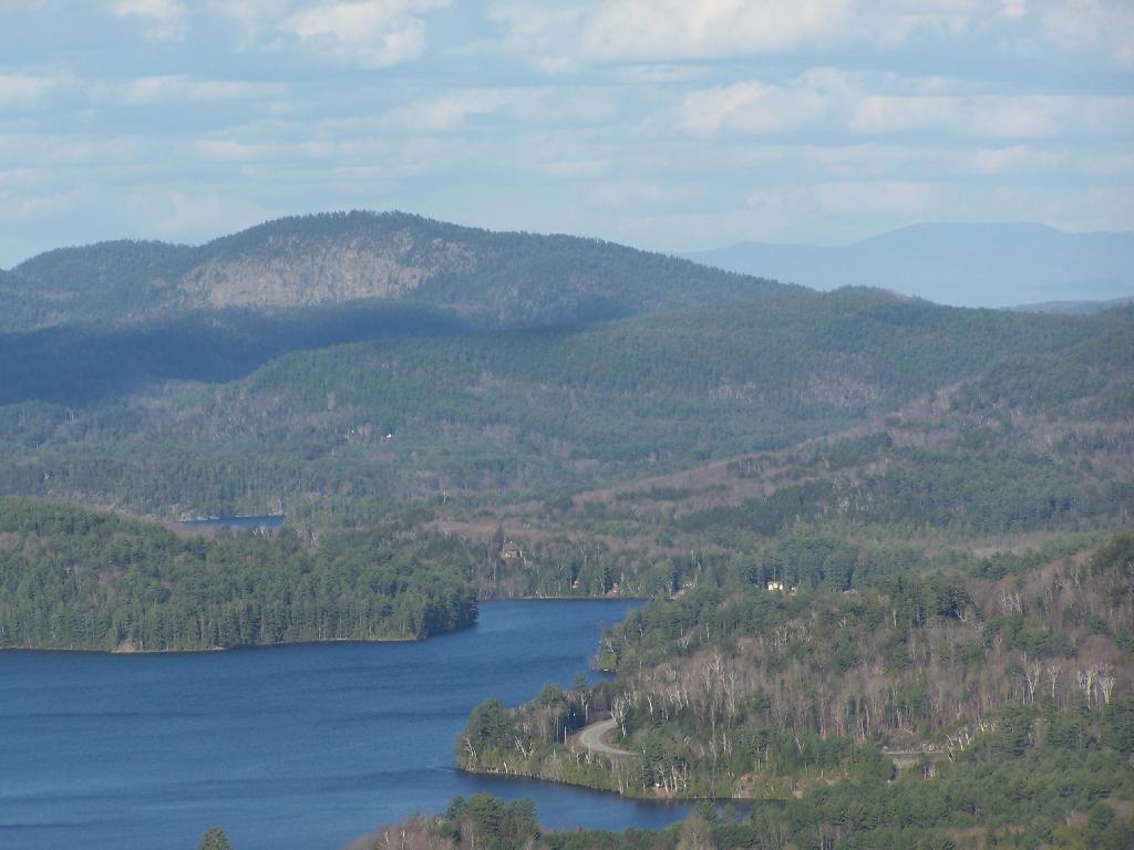
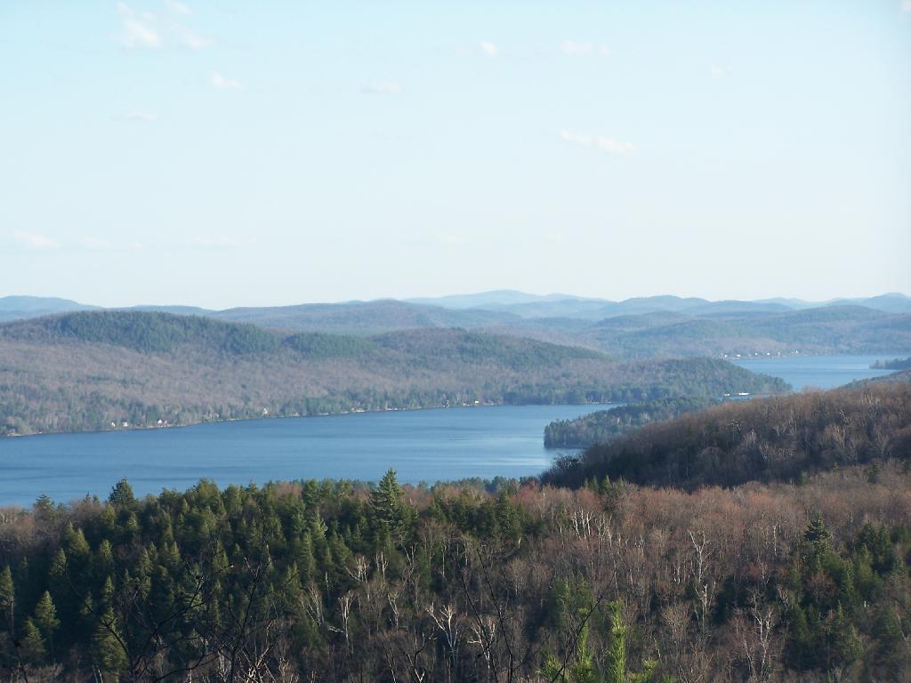
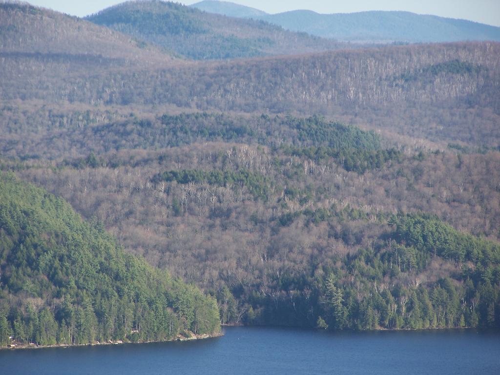
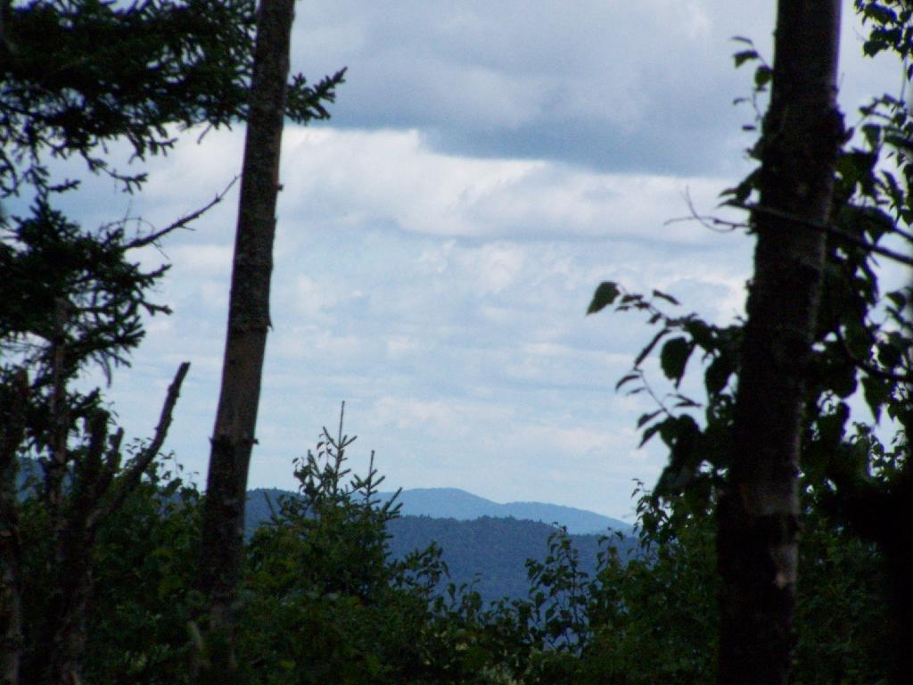
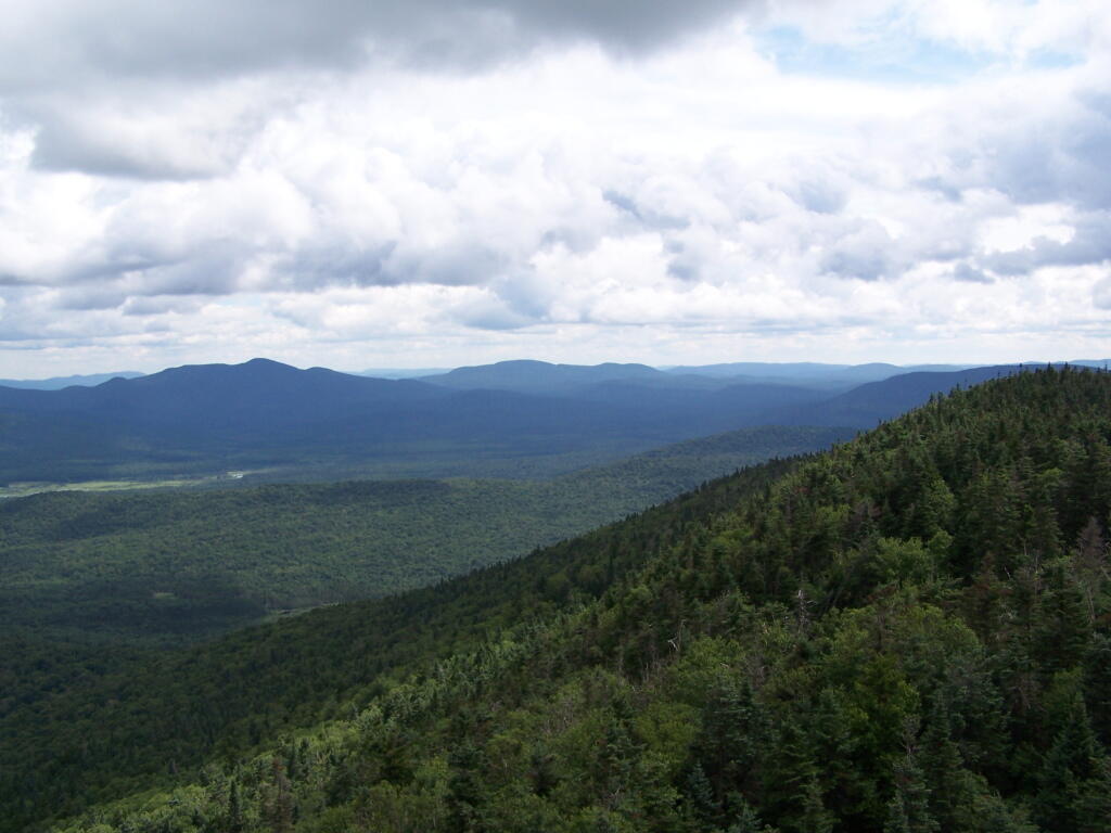
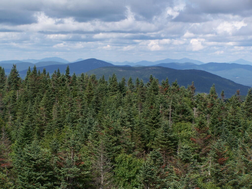
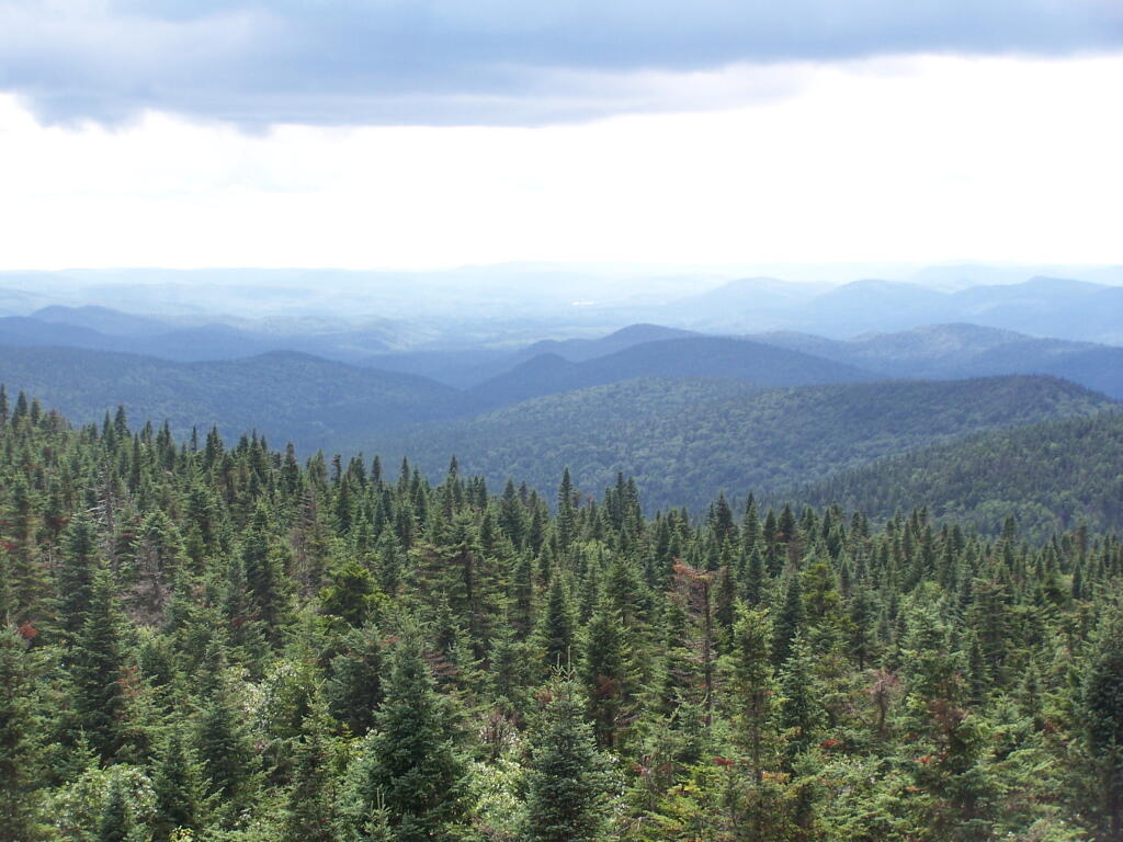
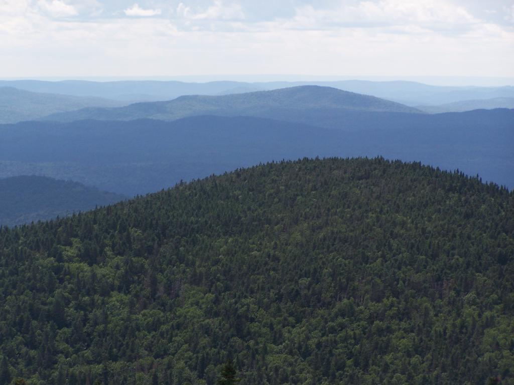
The firetower presents one with spectular views of the upper Moose River Plains, from the marshy end of Cedar River Flow to the Lost Ponds area, to around Wakely Dam and Wakely Pond.
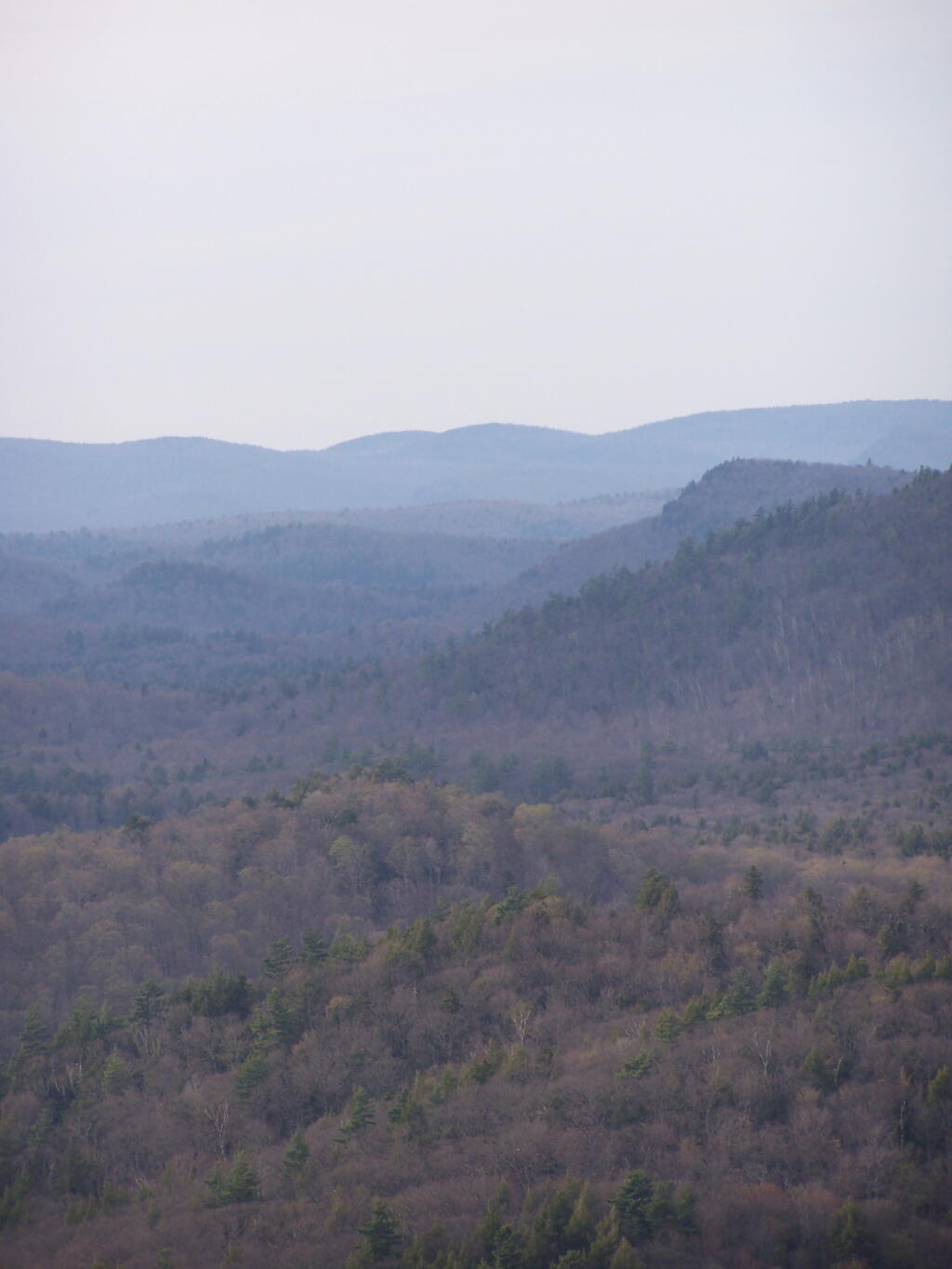
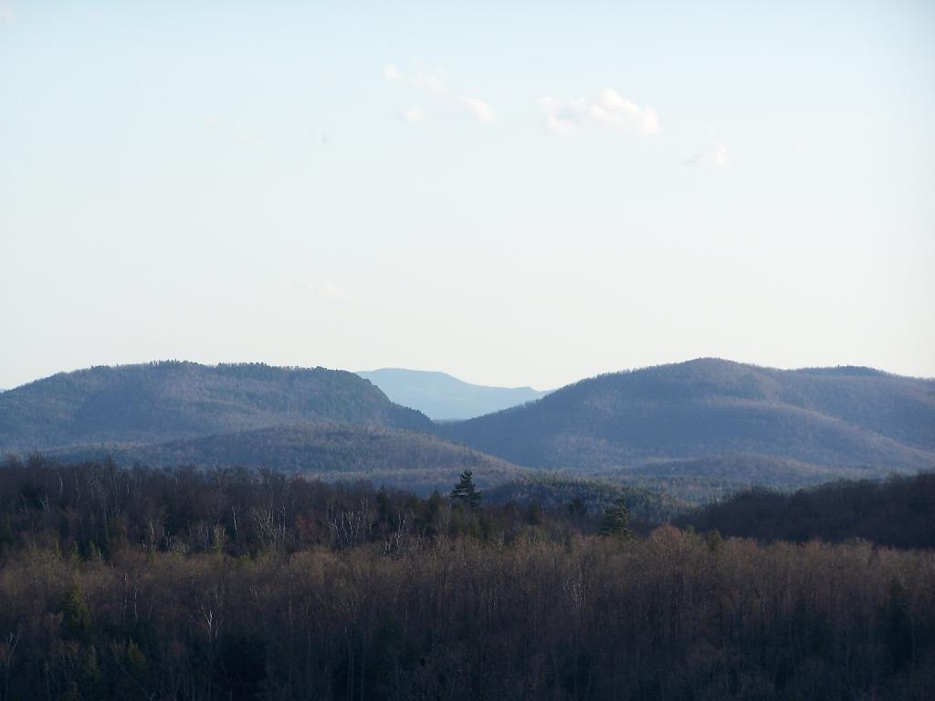
To the east is the Blue Ridge Wilderness and Blue Mountain.
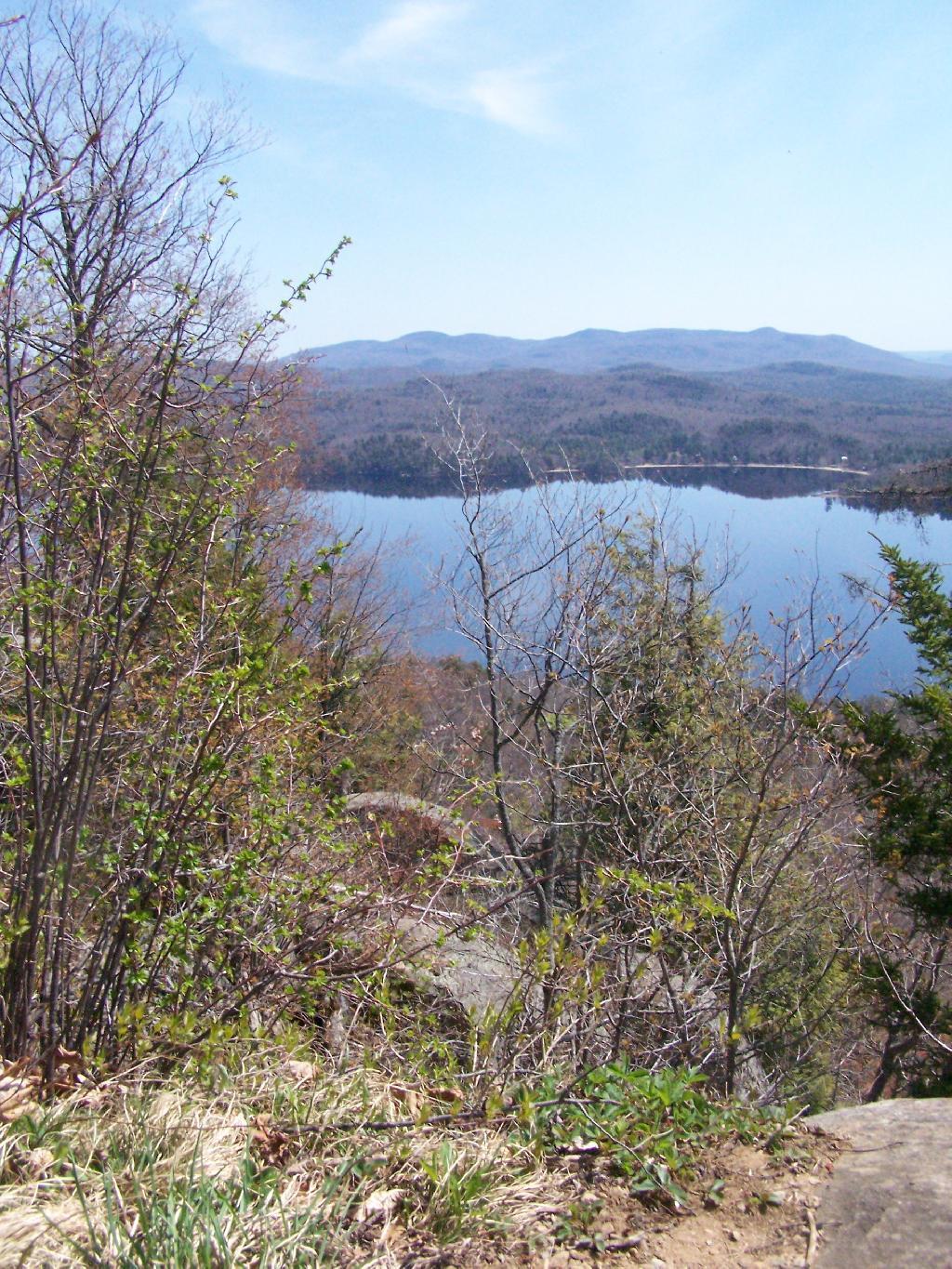
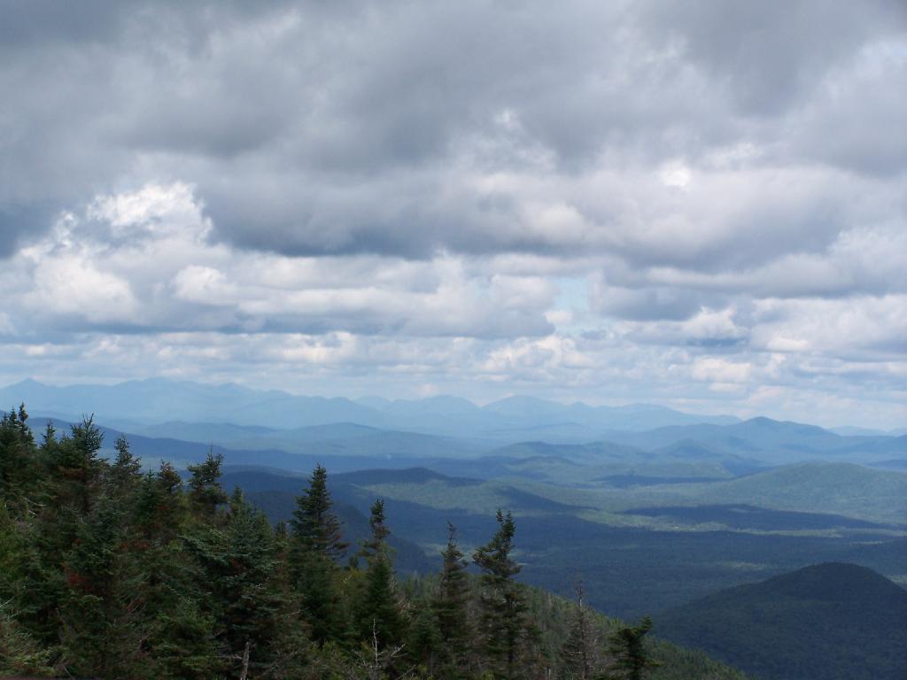
Looking down towards Indian Lake from the Fire Tower. There are many beautiful peaks to the south east.
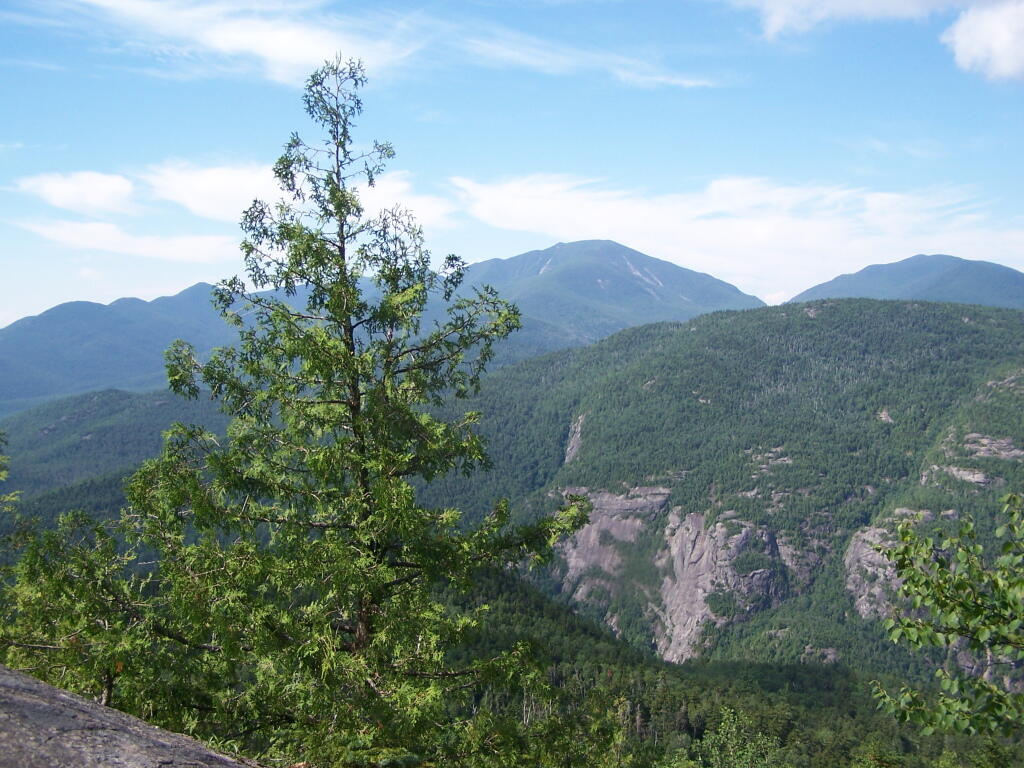
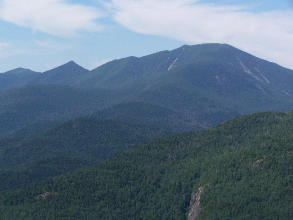
You can also see the High Peaks from Wakley Mountain.
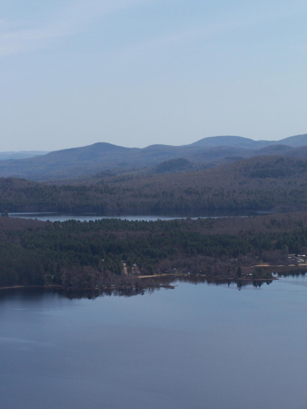
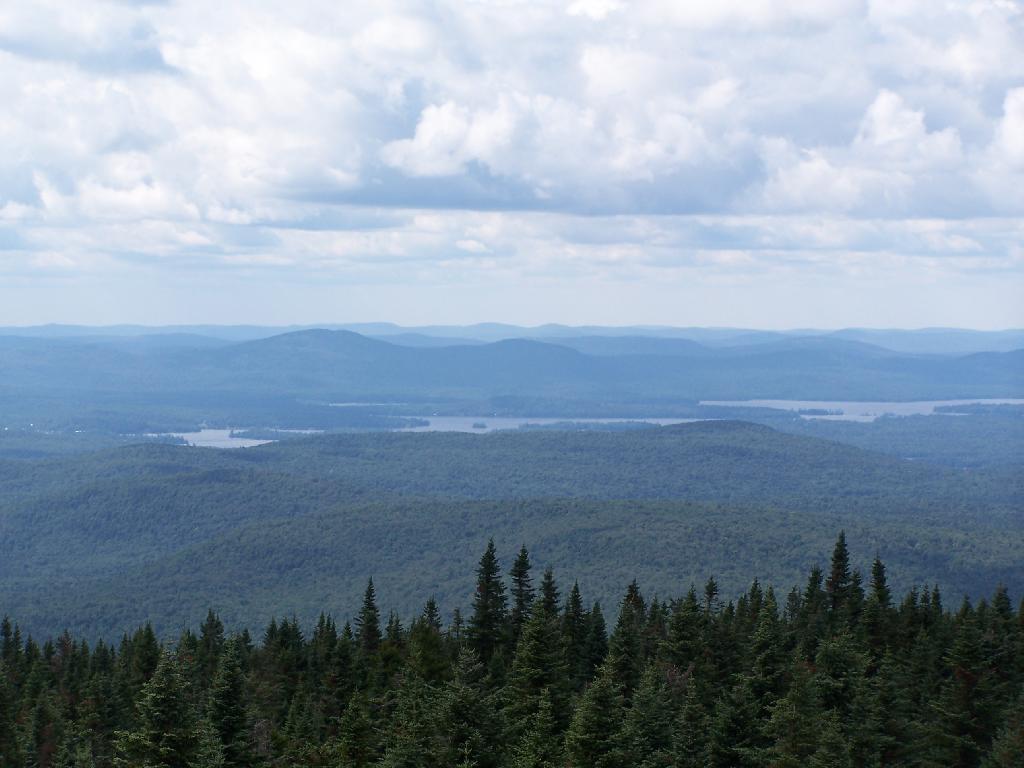
And the Fulton Chain of Lakes.
Cellar Mountain somewhat blocks the views to the west, as you look down to the plains, towards the ridges that follow along the NY 28 Corridor.
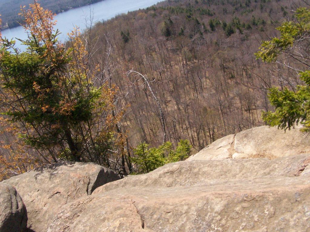
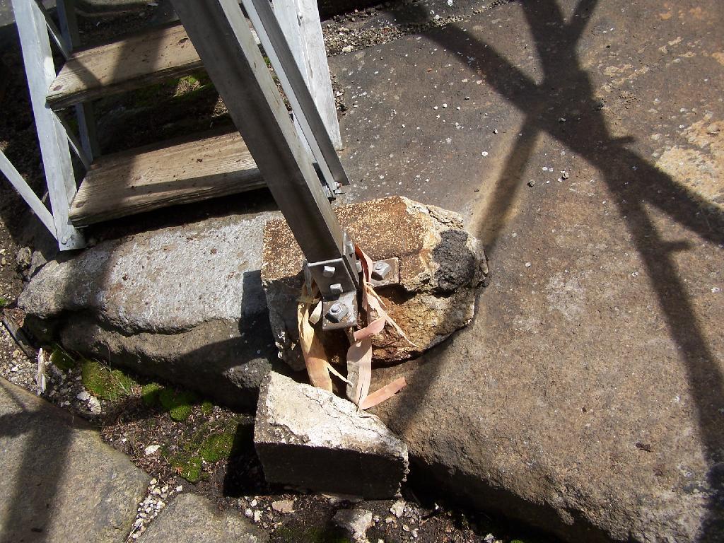
The tower’s foundation sadly is in bad shape and needs work. The cabin of the tower is also only accessible via ladder, if your crazy enough to do that. It lacks safety fences on the various landings. Hopefully the state will find the funds and resources to restore this beautiful and popular tower, even though it’s likely to be expensive due to the need to use to Helicopter in supplies and possibly ironworkers to restore it.
About three weeks ago I decided I wanted to go hiking in the Adirondack High Peaks. It was my first time hiking there, and it probably will be the last time I go up there for a while, mainly because of the absurdly bad fear of heights. A 120 mile drive from Albany, it took me about 2 1/2 hours to reach the trail head on NY 73.
The first part of the trail is steep (as is most of the trail), but with limited views.
After 3/4 mile of a hike, it opens up to a ledge with views of the Keene Valley.
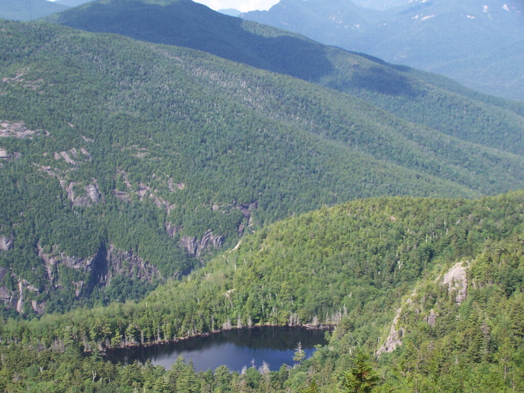
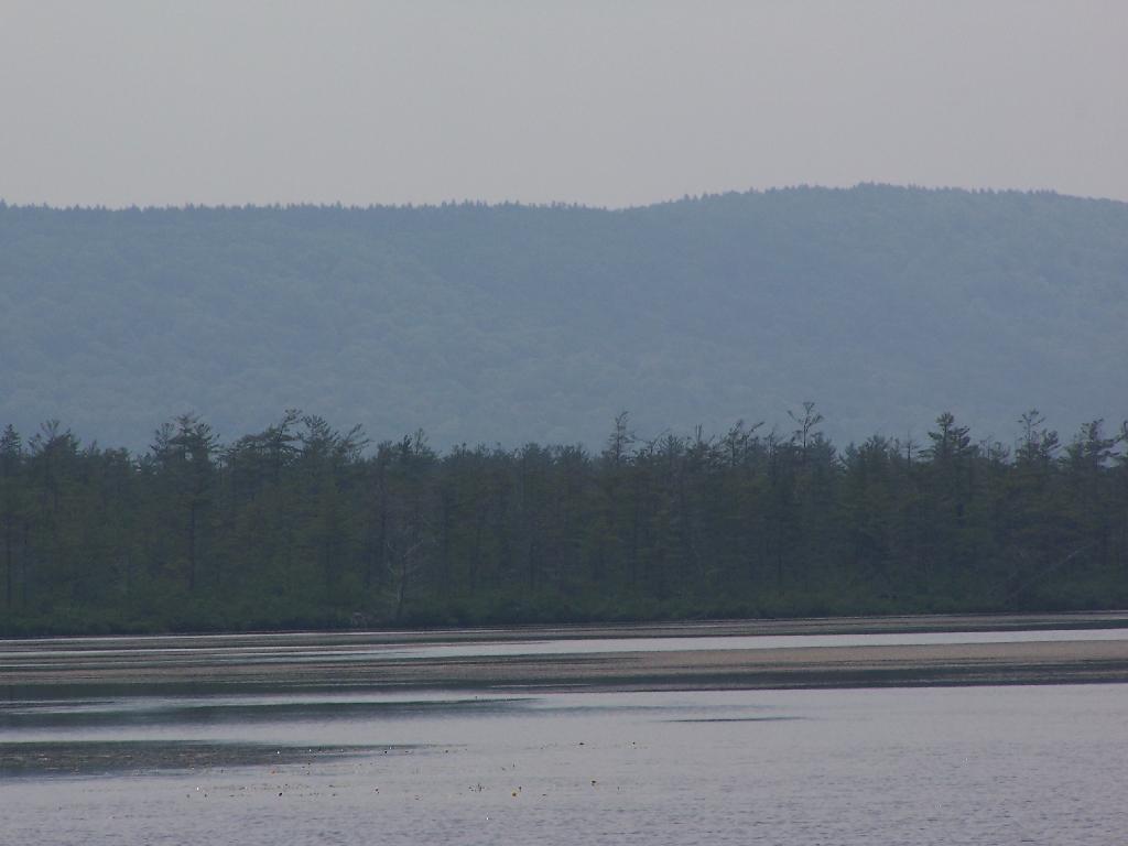
Shortly there after you reach the Giant Washbowl, a mountain pond with interesting views, surrounded by mountains.
You also get a neat view of Nubble.
There are two primative campsites along Giants’ Washbowl with no facilities except some logs to sit on.
You cross Giants’ Washbowl on a log.
With the confirous trees surrounding Giants’ Washbowl you would have no idea what season it was from this picture.
Past Giants’ Washbowl, the trail gets steeper and goes through a series of switch backs as you continue to climb.
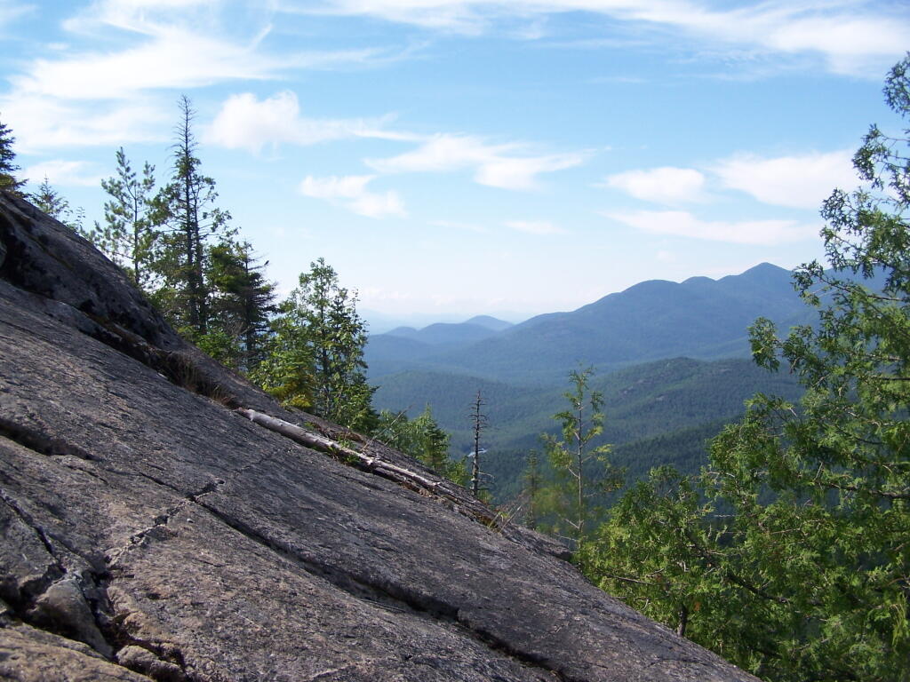
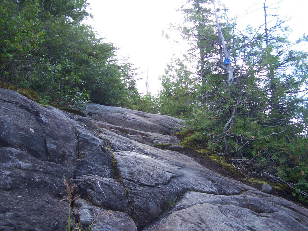
At about 2 miles the trail opens up to a series of open rock scrambles, where you walk along a ledge of sloped rocks. It did nothing for me.
Literally, the trail runs right along this sloped ledge. These open ledges just made me sick. I started to puke, with my fear of heights kicking in as as scrambled along this.
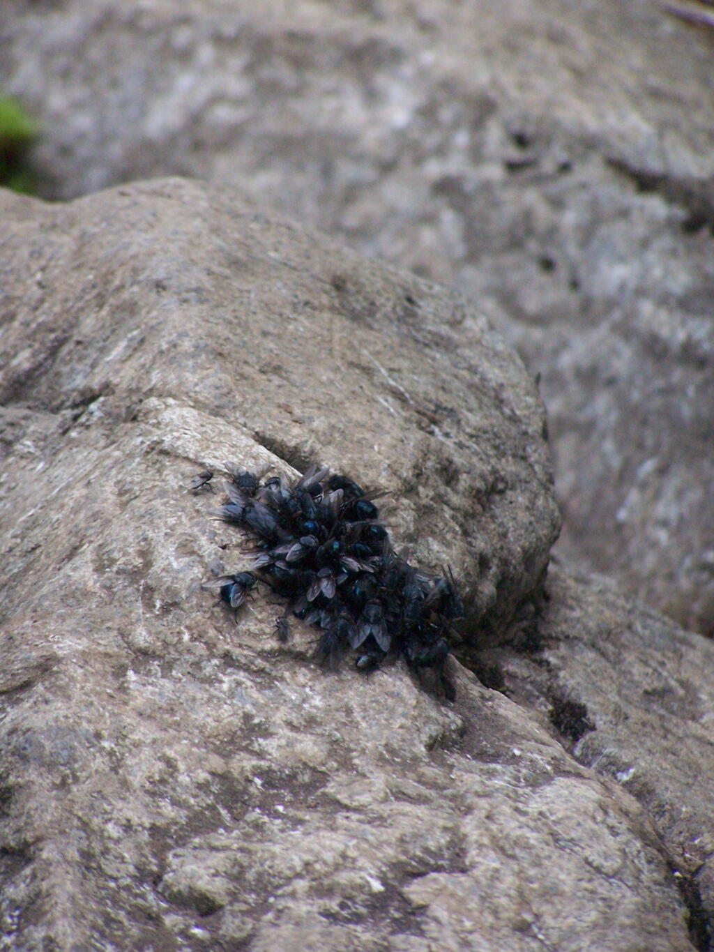
That and seeing the maggots swarming over this piece of dung right on the trail did nothing for me.
That said, the views from this ledge where spectular.
I continued to climb another 300 feet or so on the trail, when I decided to go back, but I did get a chance to get some pretty awesome pictures from up above.
On a rock ledge, looking down at Giants’ Washbowl.
And Noomatic Mountain.
Looking South-West towards Pharoah Mountain Wilderness.
Dix Mountain and surrounding range.
At any rate, this kind of hiking did nothing for me. I decided to descend Giant Mountain, and not spend much more time in the High Peaks Range for the foreseeable future. As much as I enjoy spending time outdoors, the High Peaks with their significant ascent and the open faces just is no fun. Just writing about this mountain and looking at the pictures makes me want to barf again!
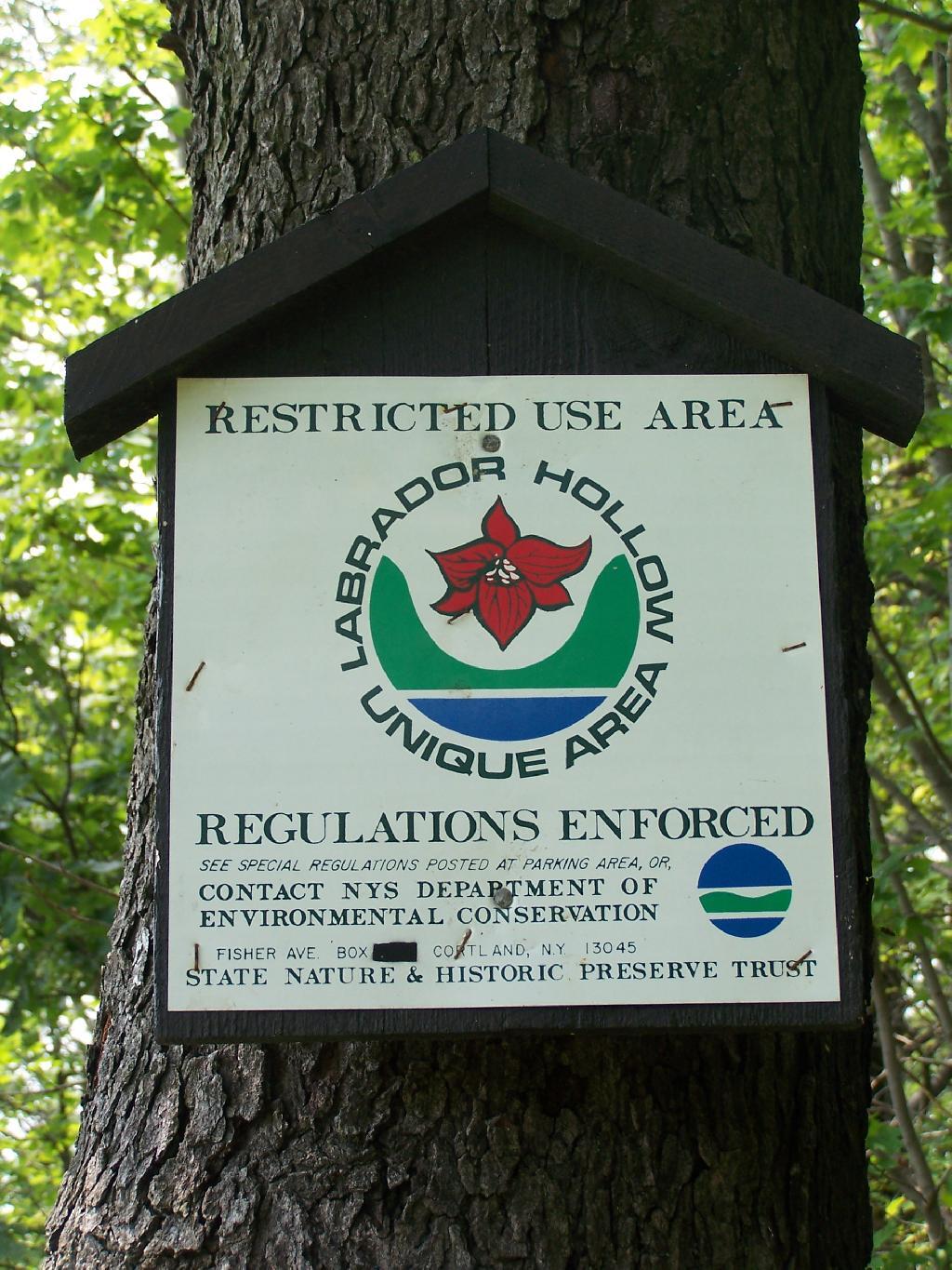
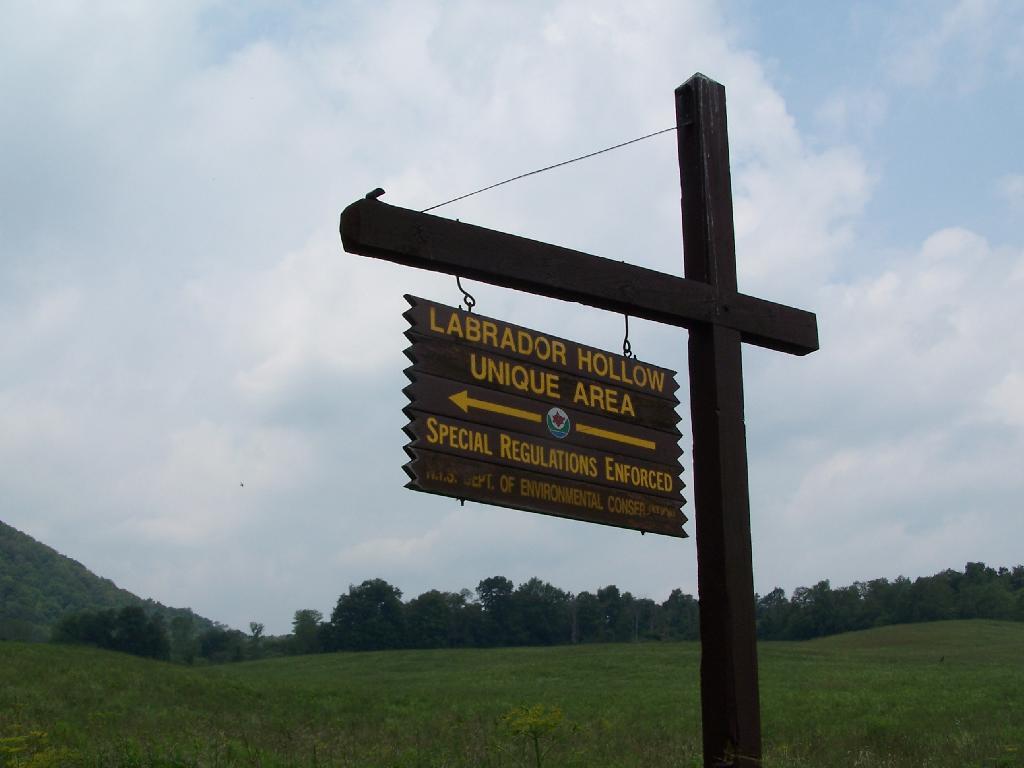
Labrador Hollow is a deep valley surrounded by large hills on both sides. It’s located on the border of Fabius in Ondondoga County (south of Syracuse), and Truxton in Cortland County.
At Labrador Hollow, there are three places you will want to check out:
Labrador Pond
Jones Hill Hang Gliders Cliff
Tinker Falls
There are plenty of signs to guide you to the Labrador Hollow Parking area by the pond.
Through the marshy area, there is a 1/4 mile board walk which provides up close and personal views to the unique wildlife of the area.
You usually don’t get a chance to be right up in a marsh like this, unless your deep in the mud with your boots, or it’s less grown up and you could paddle a canoe or kyack. So despite being a little out of place, it does give you a unique experience.
Looking at Labrador Pond through the marshlands.
There used to be a firetower on Jones Hill, which is now a nature center down by Labrador Pond.
An open section is mowed, so you can sit dwon by the lake and enjoy the views.
Then I drove over to the Kyack/Canoe launch for the pond, on the western side along Labarador Hill.
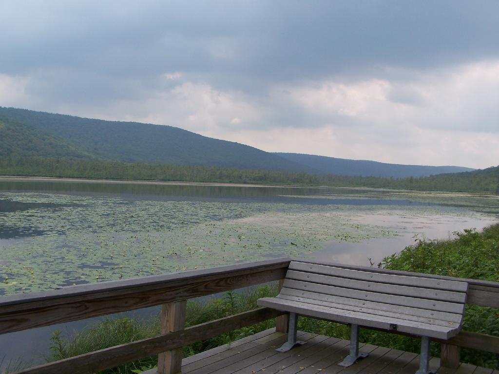
Besides the kyack launch, there is a series of benches and a boardwalk that extend out into the lake.
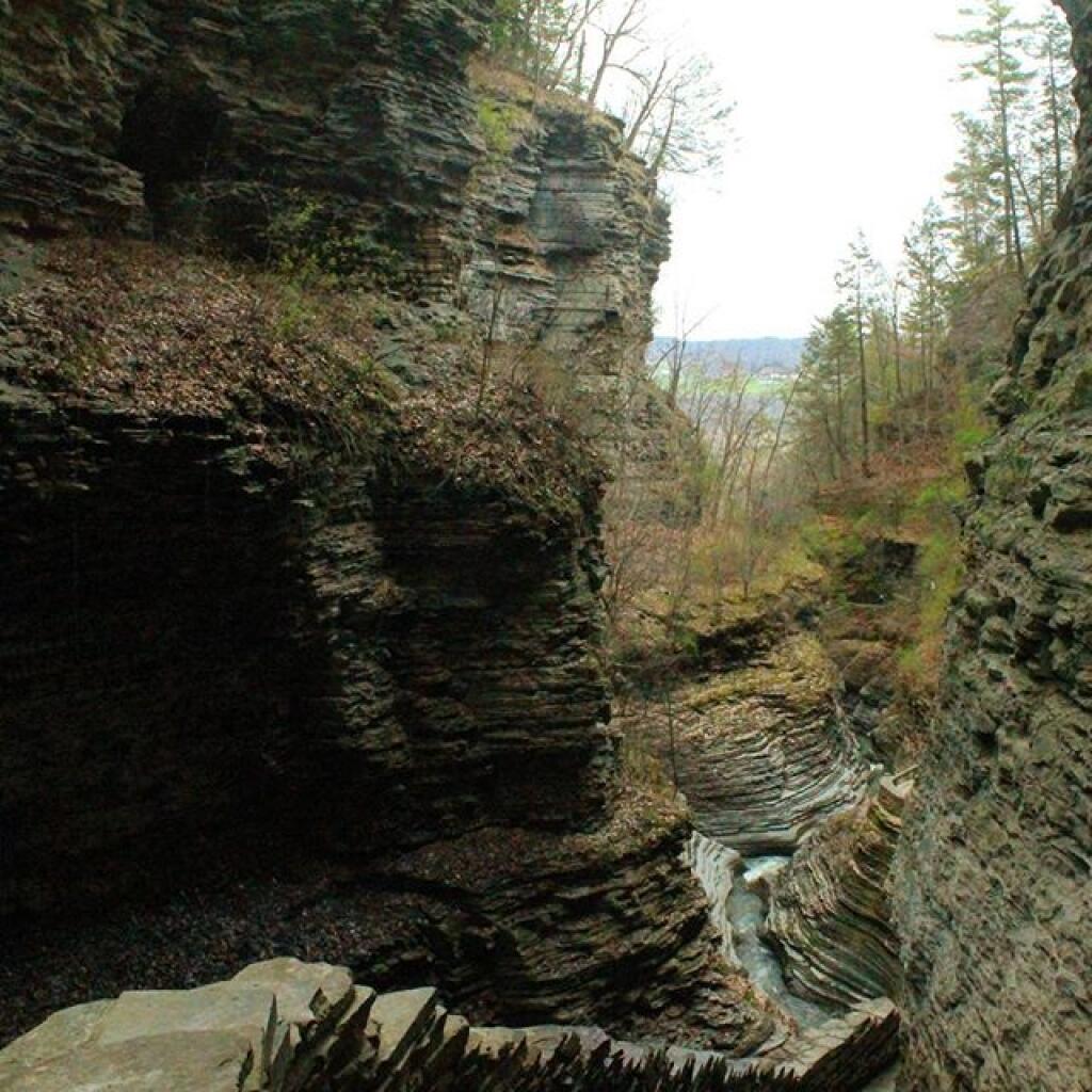
Later I drove around to the Eastern side of the lake, then hiked down to Tinker Falls, an accessiable water falls. The trail is an easy 1/4 mile walk that is only slightly inclined.
The falls aren’t big, being maybe 60 feet at the most, but they are still pretty and simple. I wouldn’t confuse it with Niagara Falls or even the Kaaterskill Falls. By afternoon, a lot of people where playing in the falls, trying to stay cool.
Here is the view from the top of Tinker Falls, accessed from the Finger Lakes Trail or the orange spur to the Finger Lakes Trail.
I then proceeded to hike up to the Hang Gliders launch spot by the Orange Blaze Connector trail which hooks up with the Finger Lakes Trail. This is route I took, it’s slightly longer and steeper then the old woods road route.
You can also follow the old woods road, which goes directly up to Hang Gliders spot on Jones Hill.
Part of the Finger Lakes Trail runs along the edge of Jones Hill, although there aren’t any real views this time of year.
Arriving at Hang Gliders clearing. It was very hazy out, with limited views.
Looking down at Labrador Hollow and towards Labrador Hill.
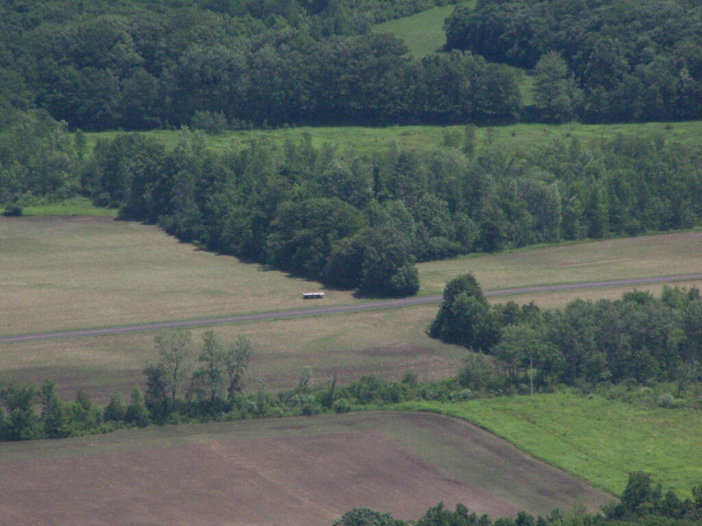
Farms in Fabius, with very poor views.
I want to come back on a clear fall day. Maybe this fall I will go back out and explore this area again in the future.
On June 20, prior to going out to the folks house, I decided to go for a little walk at the OSI Parcel of Thacher Park, from Carrick Road down to High Point, then to Hang Gliders’ Point. While very hazy, it still was a beautiful day.
Parked at the old Blue Stone Mining Pit, with the “Stone Sculptures”.
At the 3 Mile Ski Trail Loop Intersection.
Hiking down an old-woods road that I accidentially followed too far and went right past High Point.
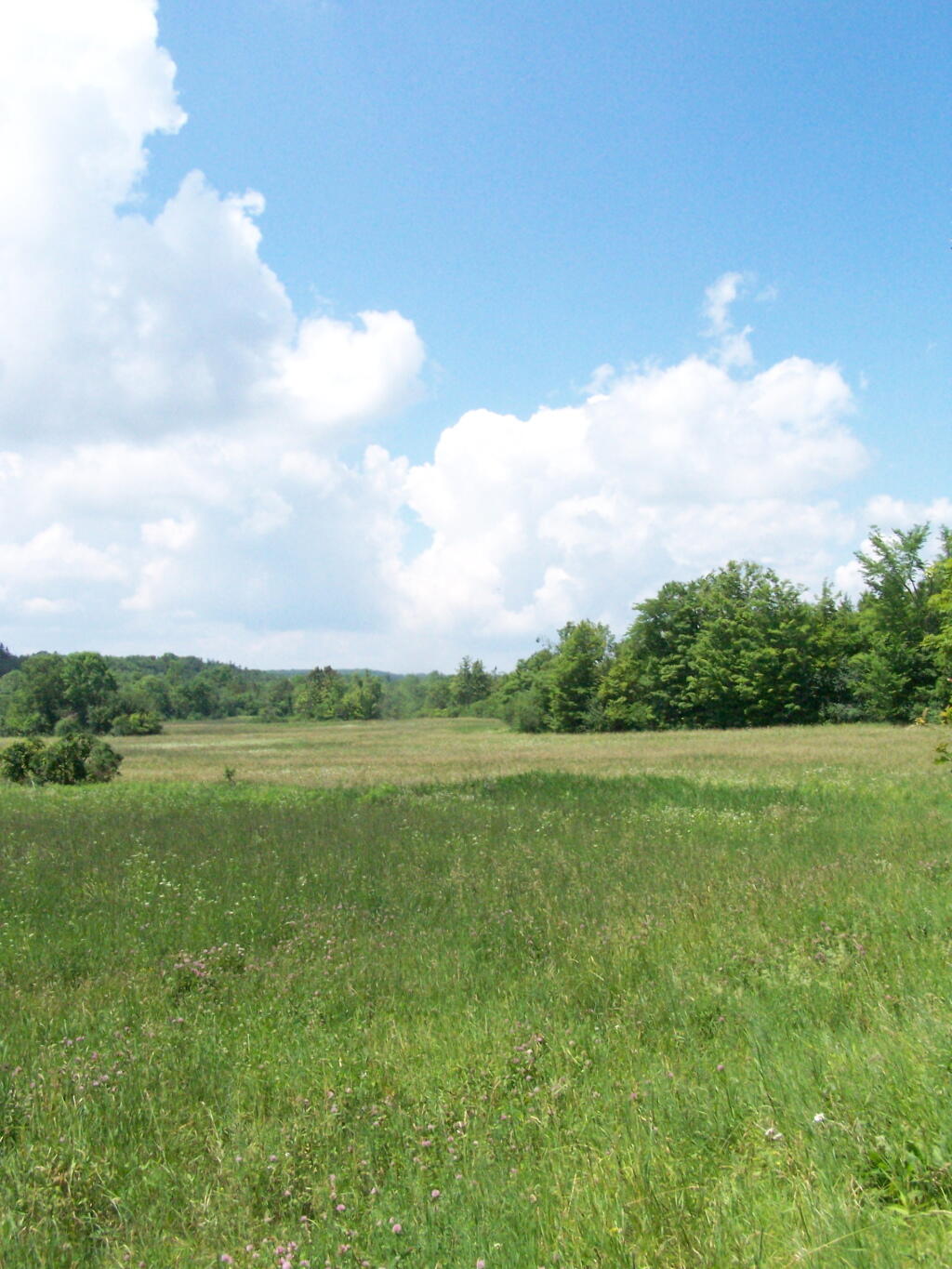
I ended up in this big hay field bordering the OSI Parcel that has a trail running through it via a landowner easement.
And I finally found my way to the High Point Overlook, in the haze.
Looking down over the Altamont Fair Grounds.
You could see the corn just starting to pop up along Brandle Road in Altamont from the overlook.
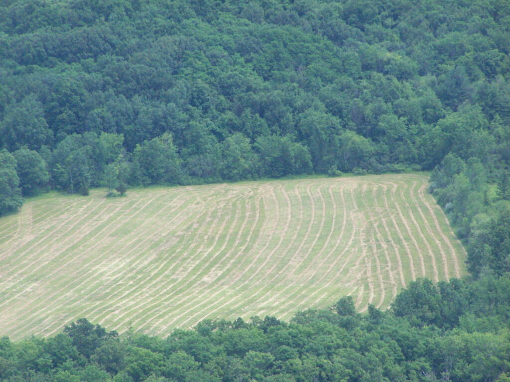
And where a farmer had just cut some fresh hay below.
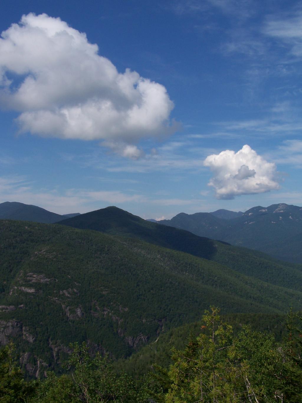
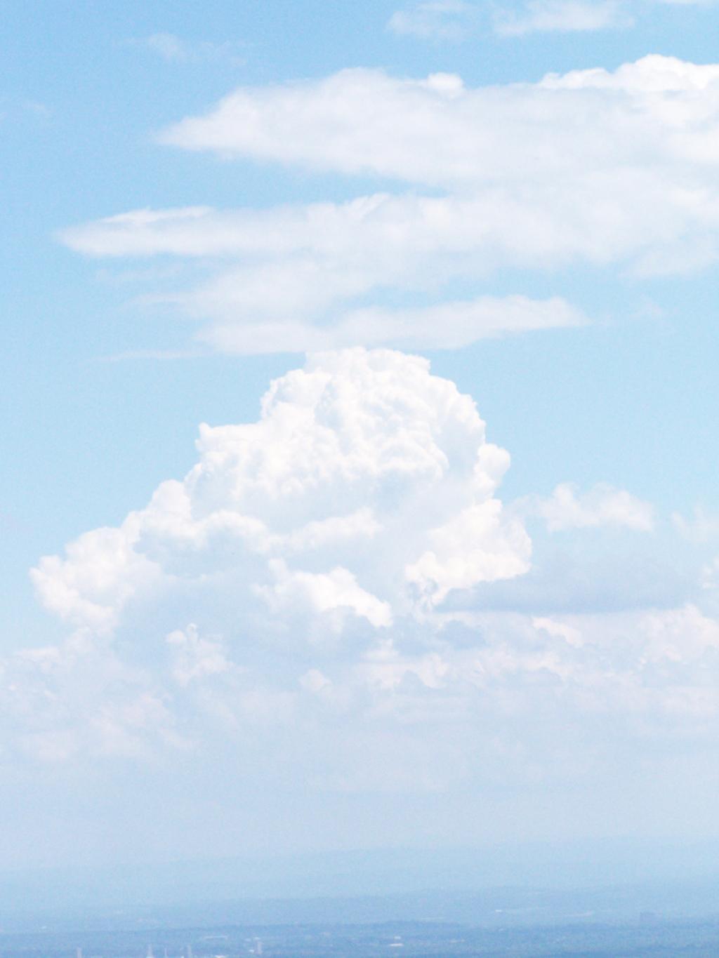
A pretty cloud.
Looking off High Point onto land below.
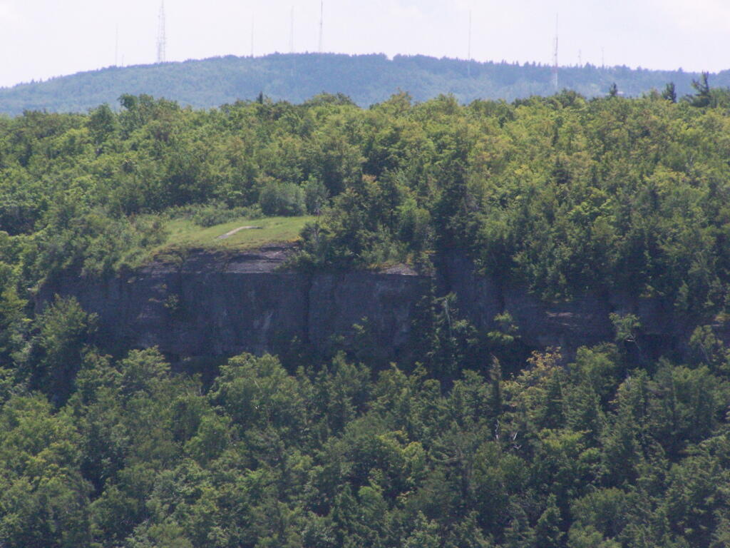
Hiked over to Hang Gliders’ Cliff.
View from the unmarked trail to Hang Glider’s Cliff.
A Hang Gliders’ Cliff.
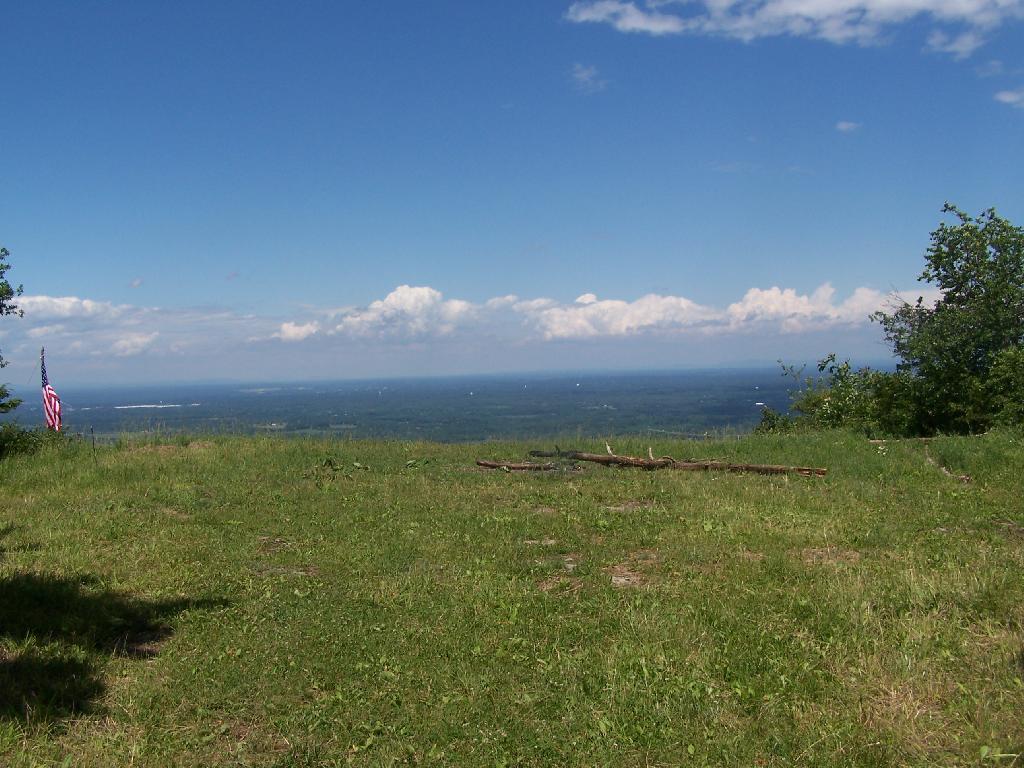
Low clouds hung out and over Settles Hill.
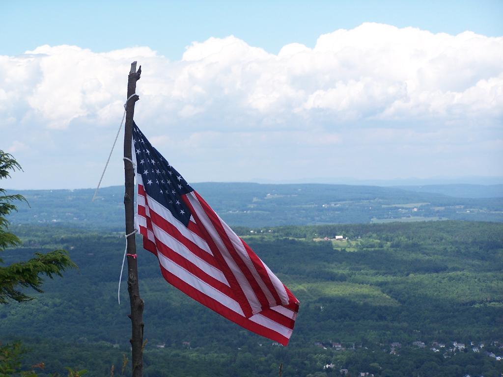
Somebody had hung a flag at Hang Gliders Cliff.
Hiking back to the pickup truck saw this cute little flower.
It was hot! Yet, it was nice to at least get out and do a lot of hiking during this very hot and humid weekend.
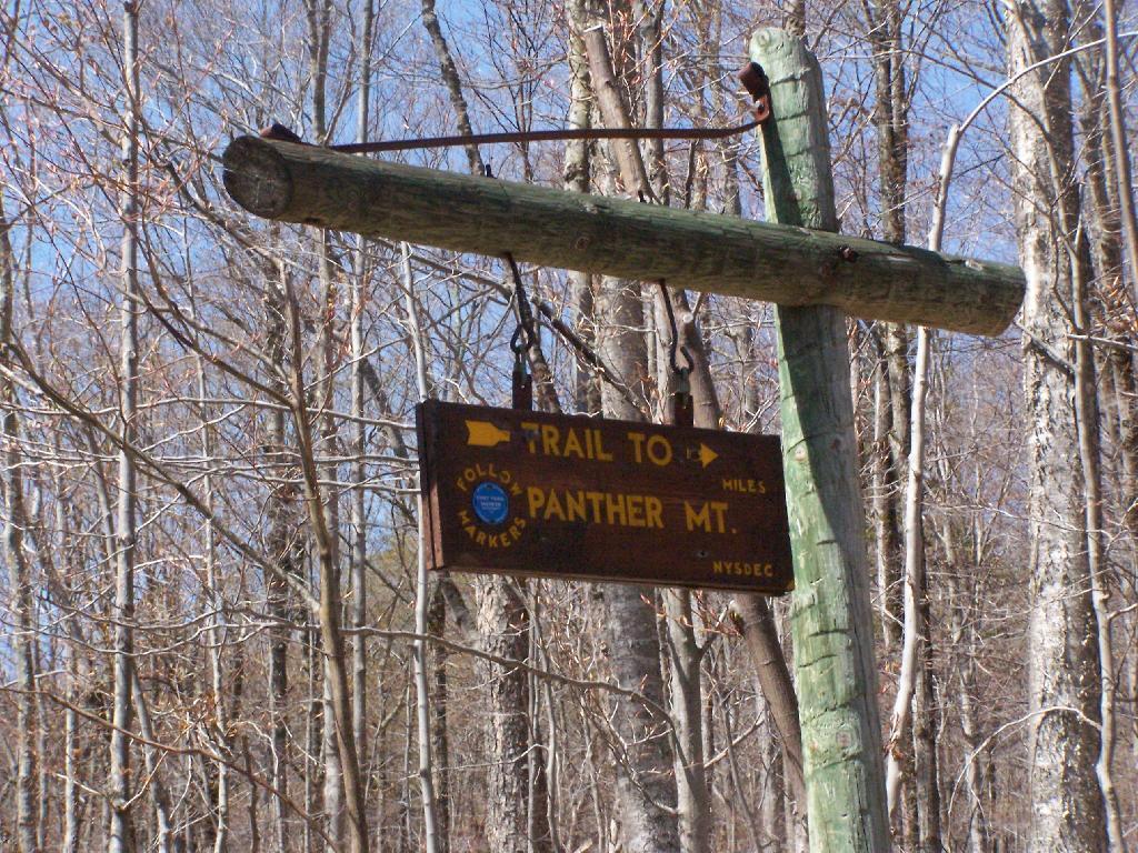
The Echo Cliff of Panther Mountain overlooks the Piseco Lake, Spy Lake, and Oxbow Lake, along with mountains and points east. The trail that goes up to Echo Cliff is labeled “Panther Mountain”, however the trail does not ever reach the ascent, but dead ends at Echo Cliff.
A beautiful day hiking up the trail for sure. The sun was bright, and I kept slapping on sunscreen. It was even a bit warm, not surpising for April 24th.
Reaching the top of the trail, almost up to Echo Cliff. The beauty of the mountaintop approaches.
Reaching the top, the beauty was amazing, as I looked across Piseco Lake with the trees just starting to green up.
Across the Lake to Popular Mountain and Oxbow pond.
Sitting along the edge, looking at the land and lake below.
Here is map of the hike. It’s quick, 30 minute each hike each way. If your up this way, do make this hike. I some day may want to hike this prior to sunrise, and watch the sun rise on this mountain.
Kane Mountain is located next to Canada Lake, which is just north of Caroga Lake on NY 10. I hiked up there one evening, after spending the day hiking in the South-Central Adirondacks. It is a wonderful, quick hike, perfect after a long day of hiking or outdoor activities as one heads back to the Mohawk Valley or Albany as the case may be.
The trail up Kane takes you up about 500 feet in elevation over a 1/2 mile. It’s an old woods road, and well traveled, so don’t worry about hiking after dark if you have a flash light or even just moonlight.
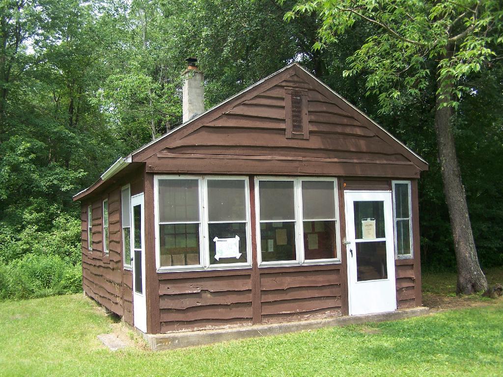
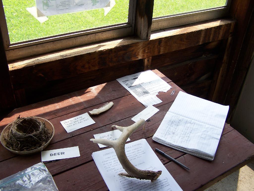
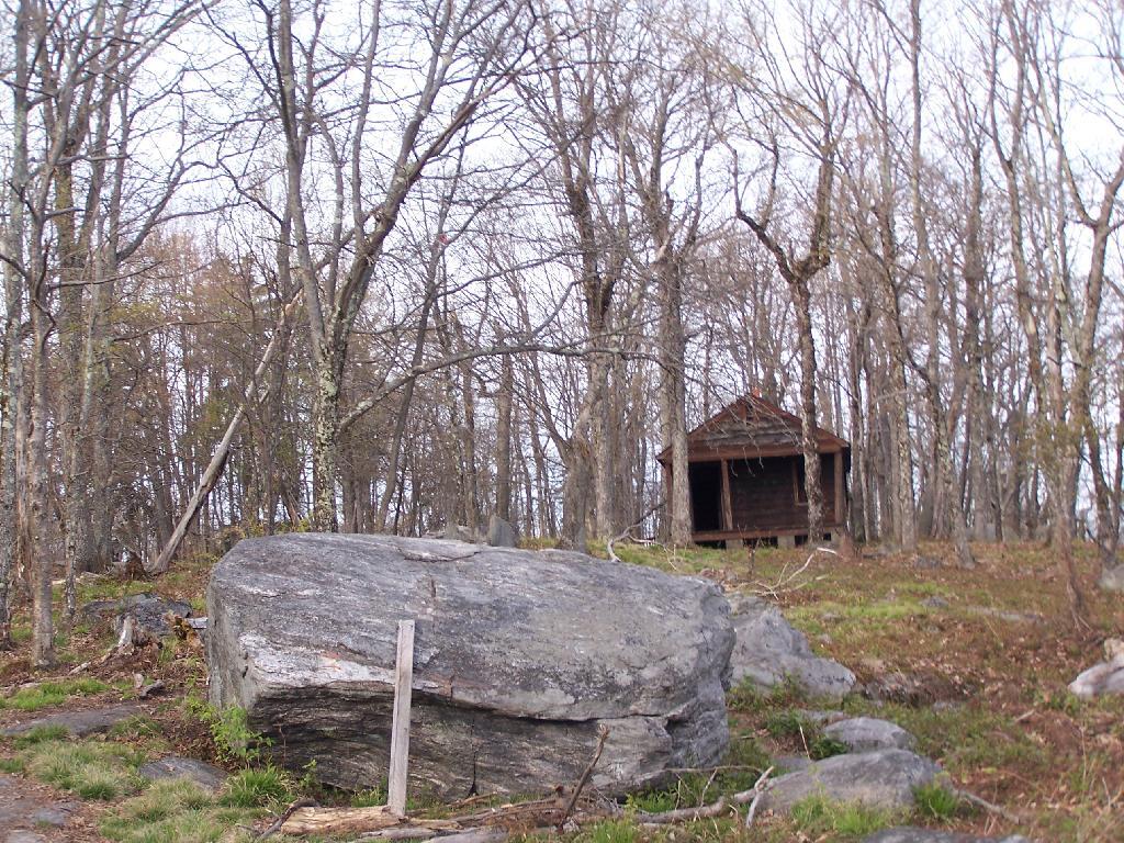
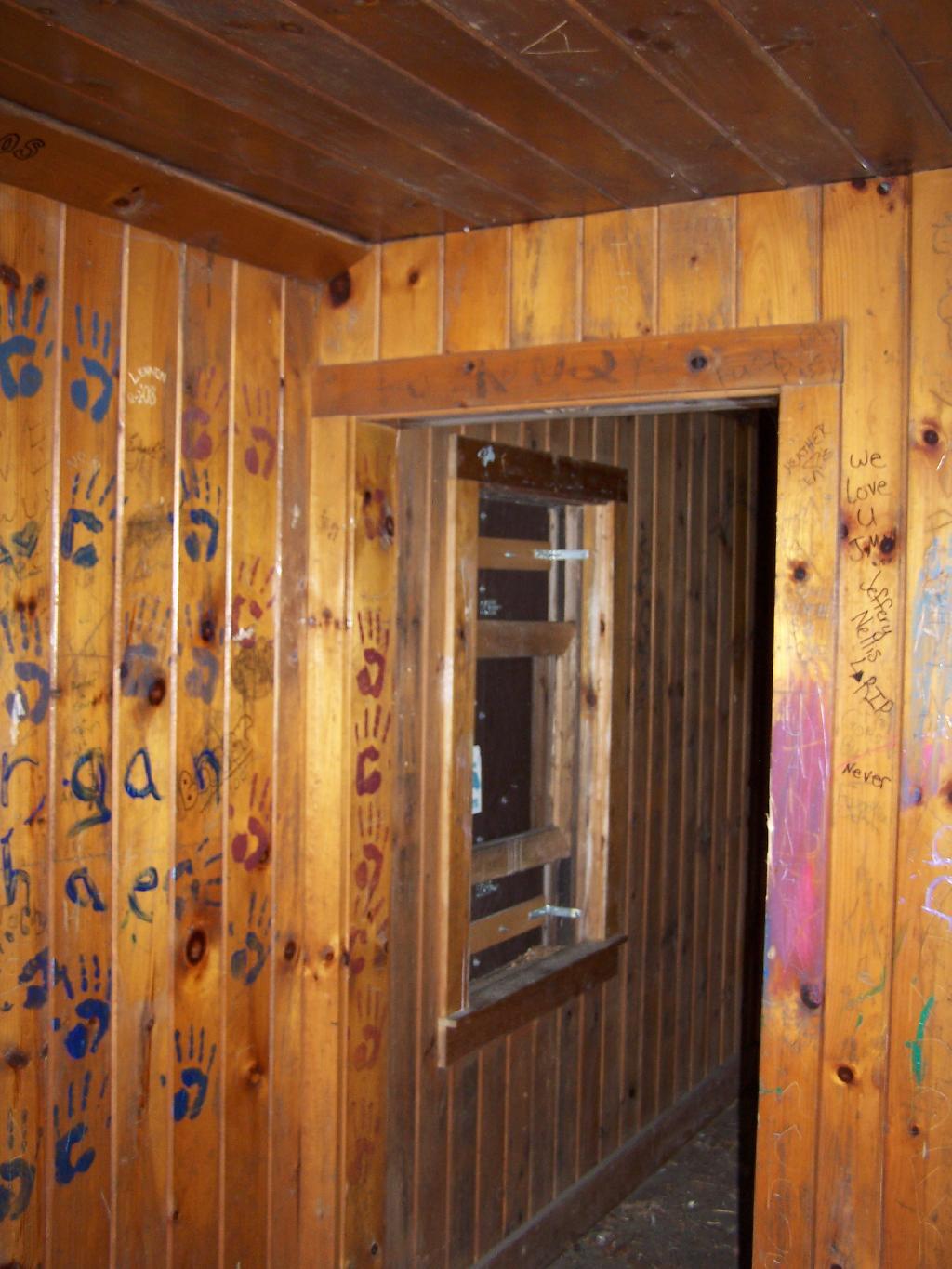
Reaching the top of the mountain you reach the Firetower and an old Forest Ranger’s cabin, which sadly has been broken into and vandelized. It still was interesting to walk in and take a look at the cabin, including the tiny little woodstove that once was there. The bunks and other furniture where long gone from it.
Remind me again why people have to be such pigs?
The Fire Tower has some really interesting views out of it, and it is an interesting place to watch the sun set from in the evening. Here is looking from the windows of the observer station, which have the glass removed.
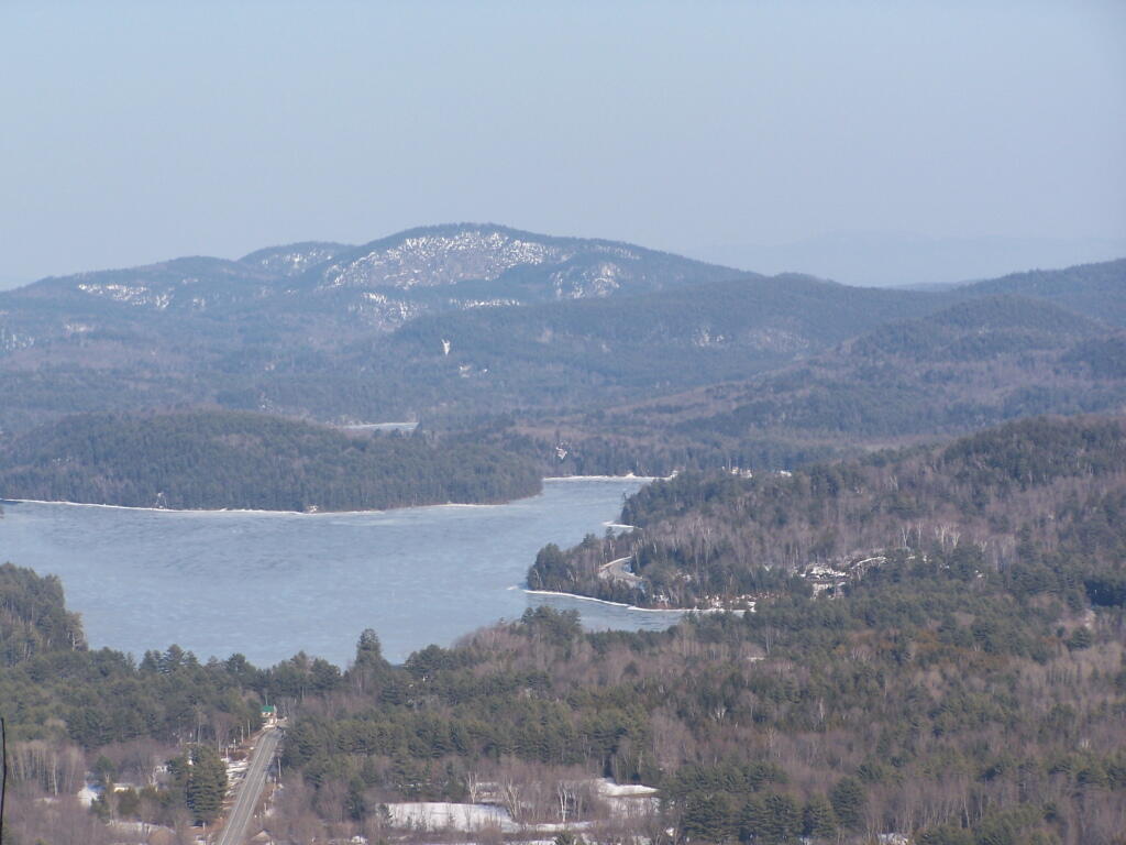
Looking due South, you can see Canada Lake, Sheely Mountain, and the Mohawk Valley to the South. Once you get South of Sheely Mountain, the area around Caroga Lake is relatively flat until you get to the other side of the Mohawk Valley, with the ridges Schoharie High Lands.
The light flickers over West Lake, which is connected to Canada Lake.
Looking at the Southern Adirondacks, heading North along the NY 10 Coridoor. Until recently visiting this portion of the Adirondacks, I always generally viewed these lands as relatively flat, but instead as this picture shows, actually is fairly rugged, with peaks in the 2,000-2,500 elevation range, which is about 500-1,000 above the valleys below. Not flat exactly.
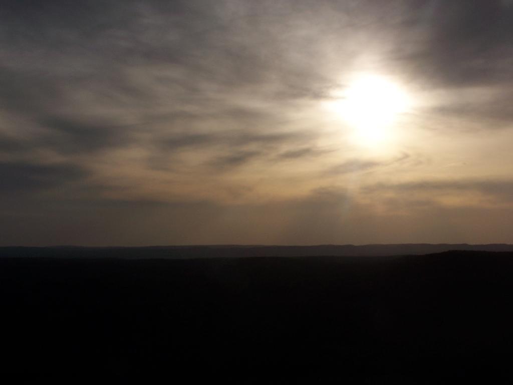
Watching the setting sun from the Fire Tower.
Through the tower windows in the cab as the sun sets.
Due to the clouds, it wasn’t a perfect sun set, but just before the sun disappeared into the clouds, here is what I saw.
After sunset, looking at the fire tower by the last light of the day.
One month after my first hike up Severence Hill, I decided to do another “cool” down hike up this mountain. In only a month, the look off the mountain had changed quite dramatically.
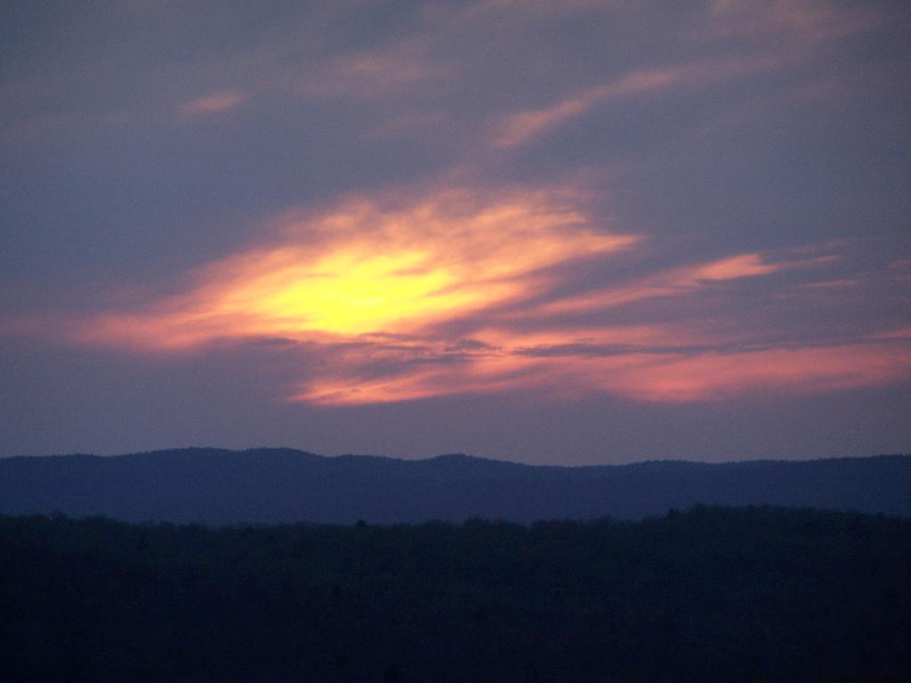
Here is Paradox Lake on March 7, 2010.
Here it is on April 11, 2010.
With the Adirondack Snow having melted in the past month, things looked a lot different for sure. Things where already starting to show some signs of spring, and life, even if the Adirondack Winter still had another month to go before casting off it’s winter.
I must have spent an hour staring down at Schroon Lake, just pondering the Adirondacks and possibly moving out west. It was such delightful weather out there, and while I was tired from a day hiking, there was so much beauty with the setting sun. I had no reason at all to rush back to Albany, having no commitments when I got back home, except to get ready for the next day at work.
This hike, while short has so much beauty. Looking down at Steep Bay (part of Pharoah Mountain Wilderness) on Schroon Lake.
Then one last look at Hatchhack and Allered Hills to the south, silhouetted by the setting sun, as I descended the mountain, and headed back to Albany.


![Untitled [Expires August 22 2025]](https://andyarthur.org//data/photo_004682_large.jpg)