The Betty Brook Campsite remains one of my favorite in NY State, especially because it’s a quick hour drive from downtown Albany out there, over the Thruway and the Warren Andersen Expressway. It almost never disappoints, and it was a great night.
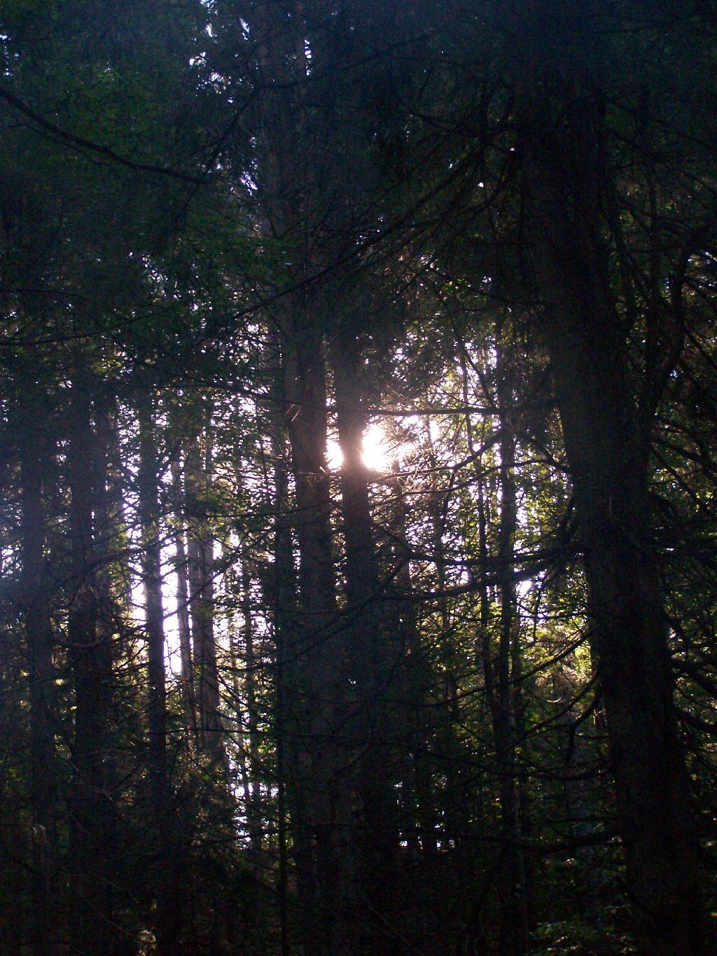
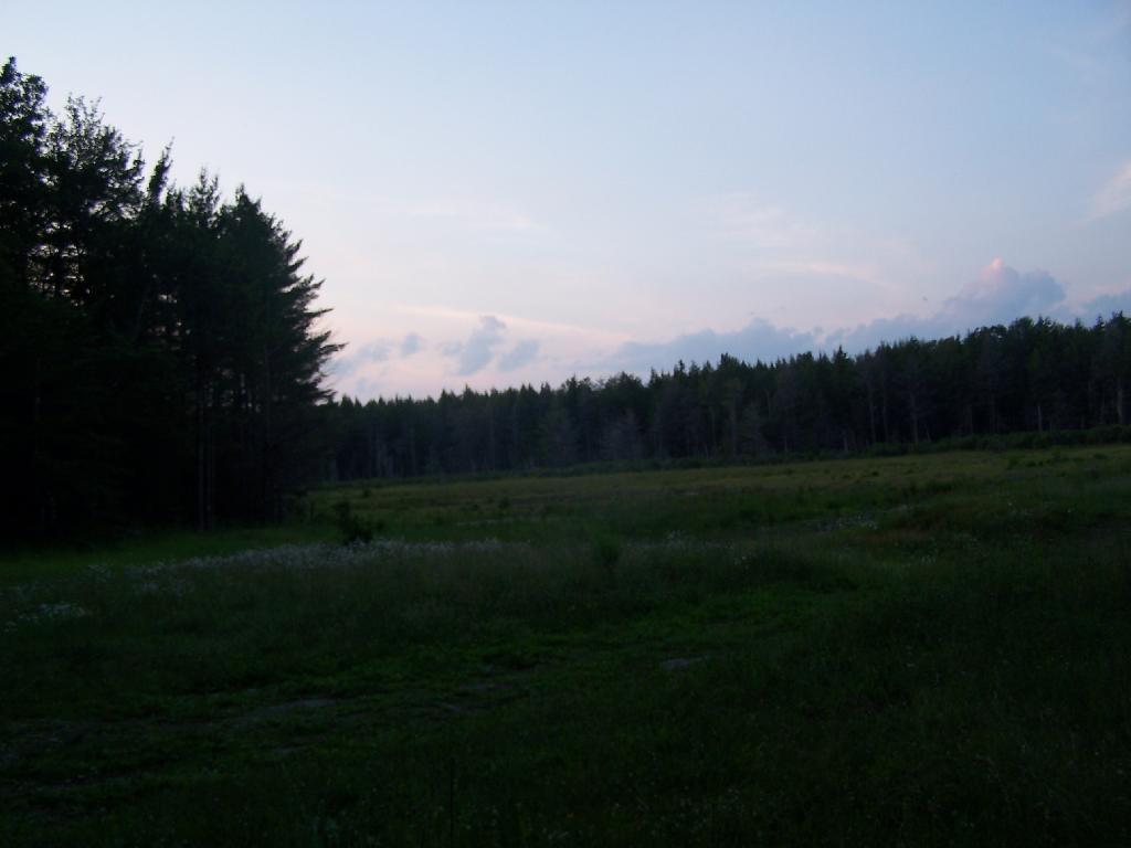
Morning Sun. The valley being so deep around Betty Brook the sun sets early, and rises late this time of year. Looking at the sun through the trees, a little after 9 AM.
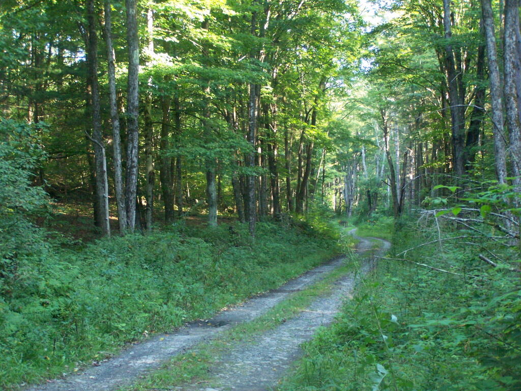
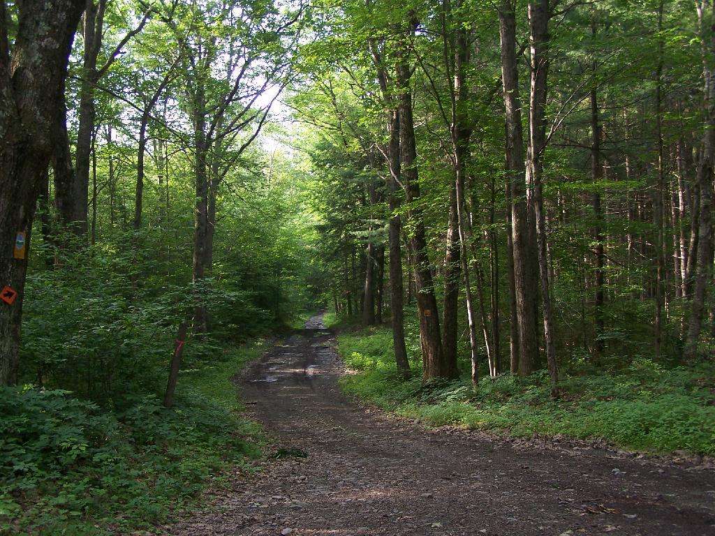
Betty Brook Road. Just looking at this road brings me home, back to my favorite camping area.
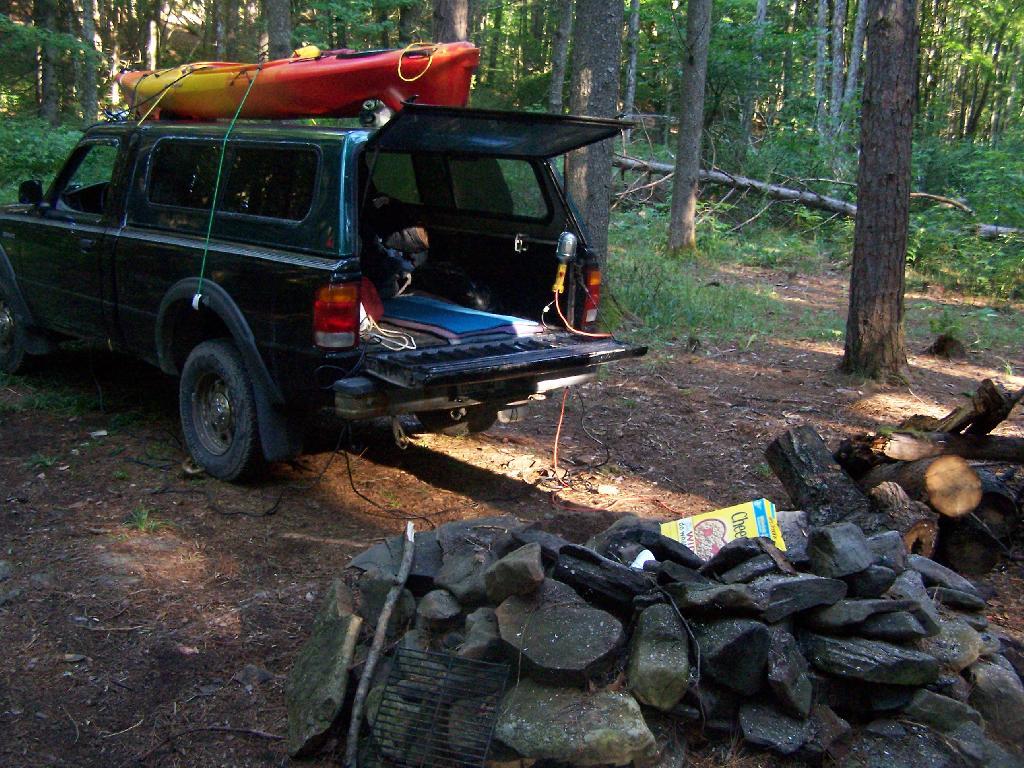
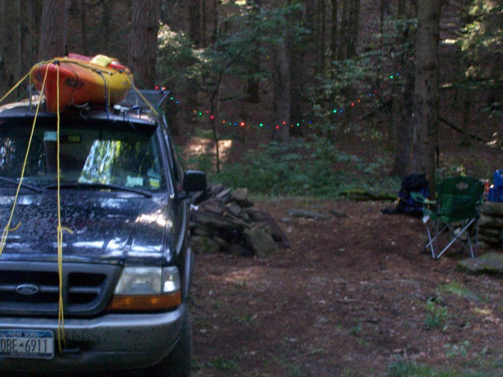
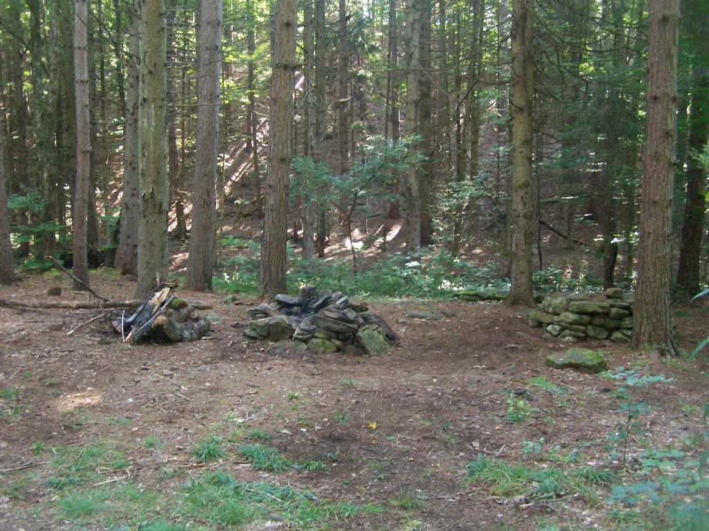
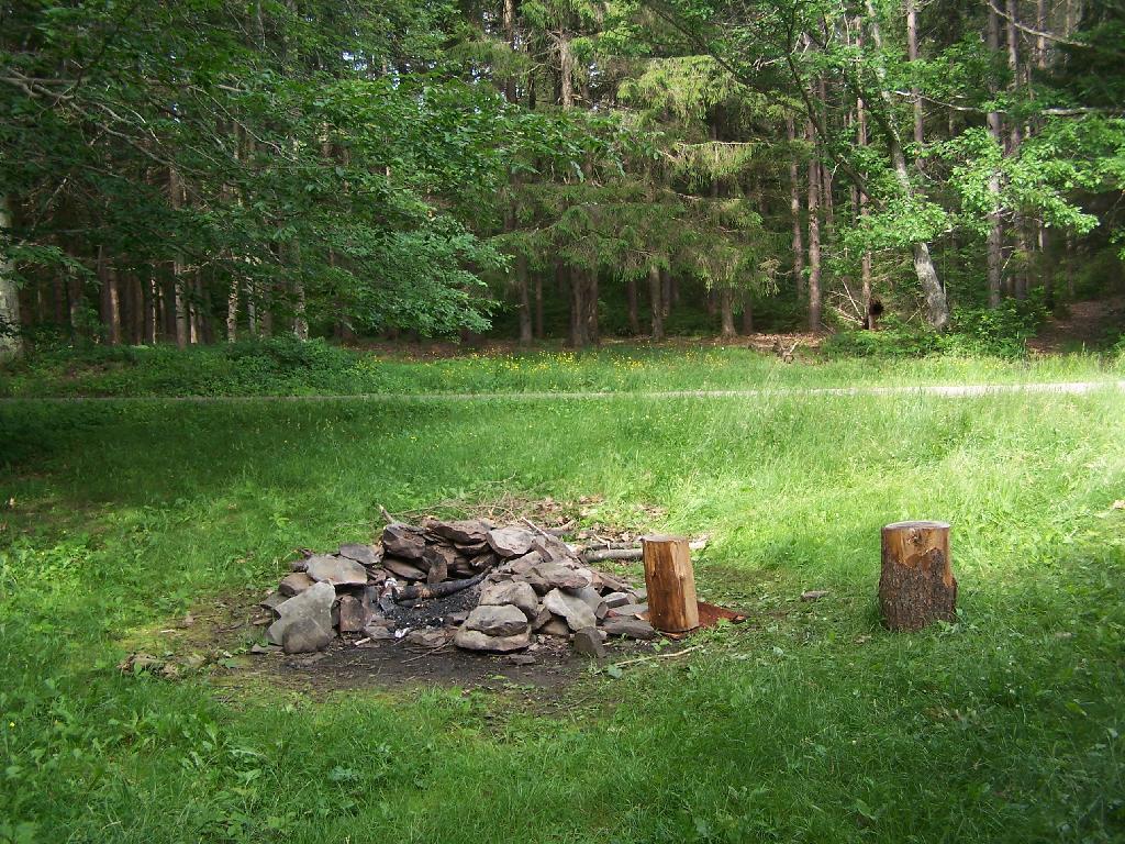
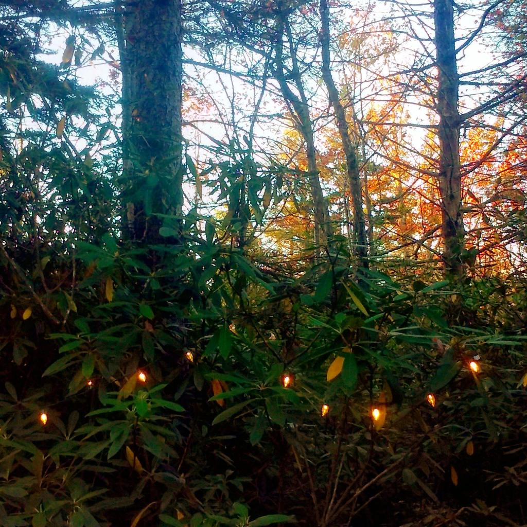
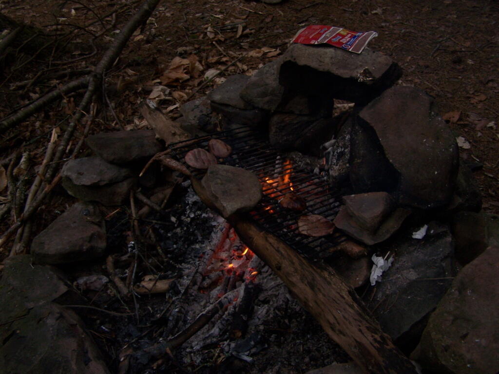
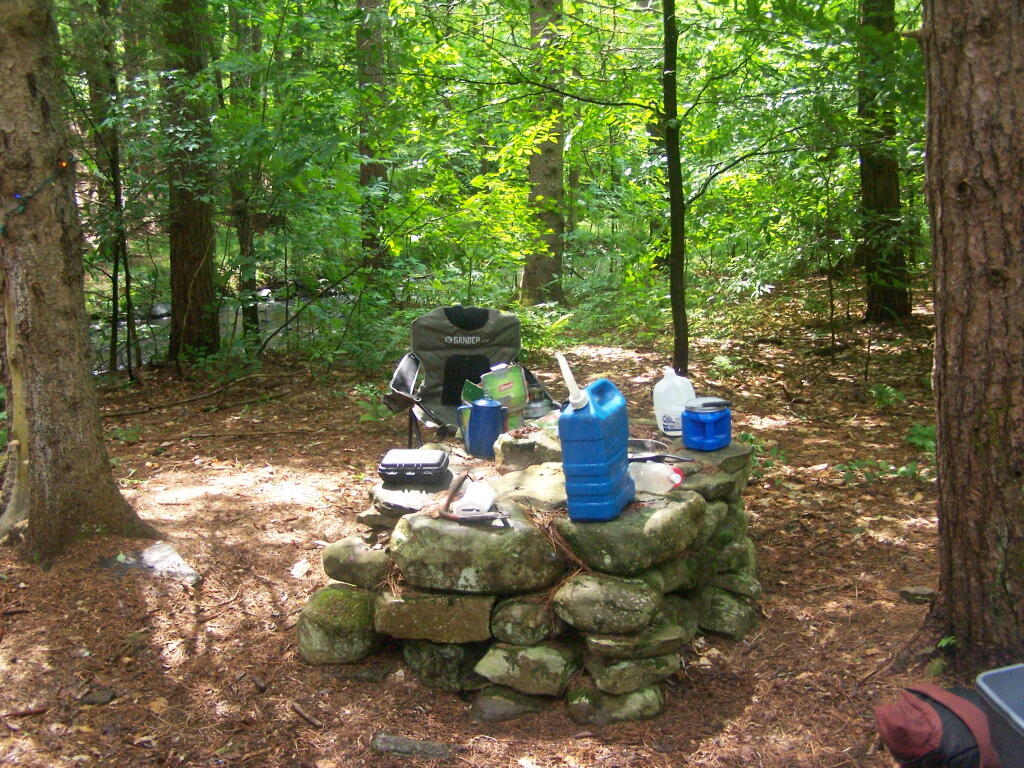
The Campsite. And yes, I of course have my trademark Christmas lights that I always use for ambiance.
I headed from here, in my truck, up to explore the Mallet Pond State Forest-area just to the north. I probably will camp up at Rossman Pond the next time I am here, because the pond is so pretty and I can paddle around with my kayak there.
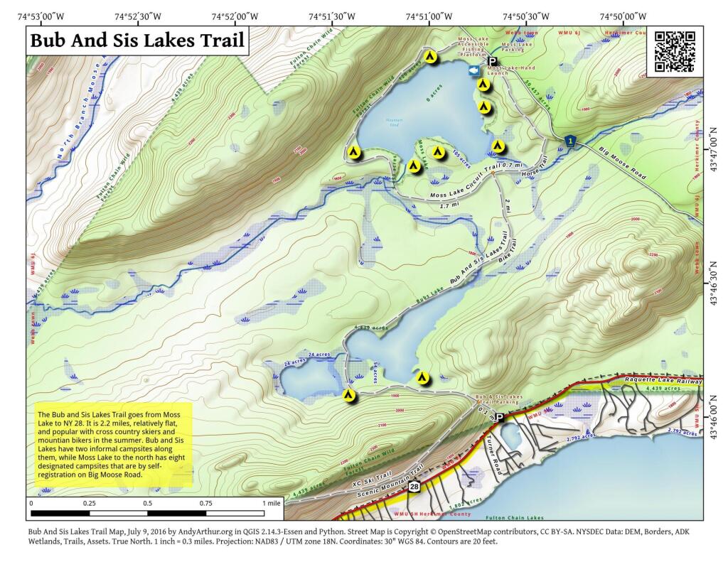
Here is a map of the Betty Brook Campsites. There is a larger one to the south, but I generally prefer the one to the north, as its smaller and the firepit and stone table is much nicer.
On the maps of Burnt Rossman, and in the plan for this area, there is a primative campsite. While unmarked there, there are two developed campsites along the pond with stone-built campfire places, and some places where horses have been staked down in the past.
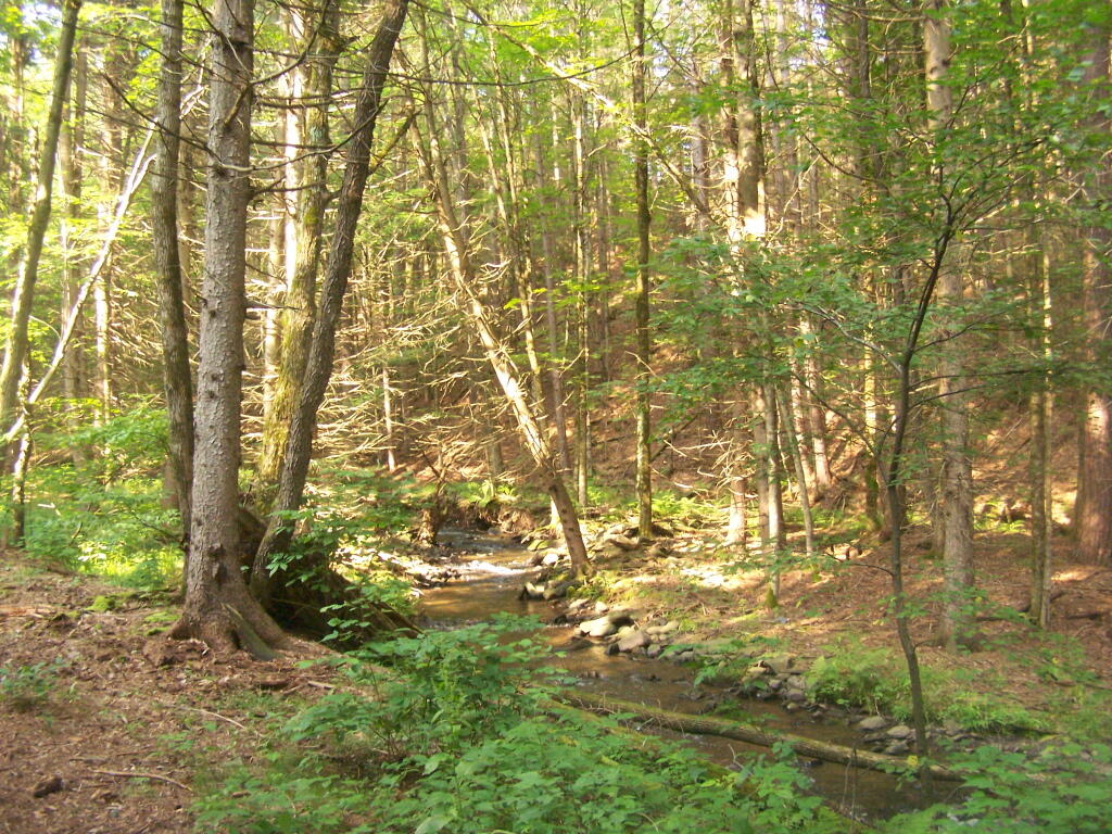
Duck pond which is mostly a swamp, is quite pretty in the evening. The bugs really weren’t that bad.
Cleaning up after dinner in the evening.
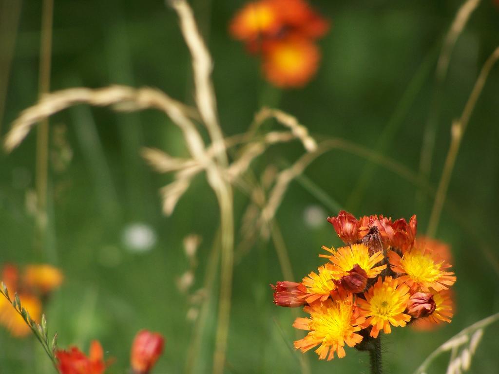
The wildflowers where in full bloom in late June when I was camping out there.
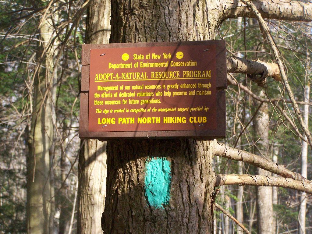
Near the campsite is a monument commemerating Charles Hopkins, the first Forest Ranger who maintained these 13,000 acres of state land.
In the morning, I drove south toward Blenhium on the rather rough part of the Duck Pond Truck Trail, which becomes much rougher after Duck Pond.
While I camped out there all night, I only saw one car in the morning driving by.
My truck broke down on Memorial Day Weekend heading out to Burnt-Rossman State Forest, losing it’s brakes once again. After finally getting them fixed, I got out there for the first weekend of June 2010. I wanted to camp up top of Eminence hill, but due to logging in that area, I settled to camp down in my old favorite place, the small primitive campsite along Betty Brook.
At first, I couldn’t find any dry matches. But then after an hour stumbling around with the cigerette lighter in the truck, and a box a wet matches, I got some paper started, and off I went cooking dnner.
Not much has changed at this camp site from last year, or actually in early April when I last camped here. Things are a bit more green for sure though.
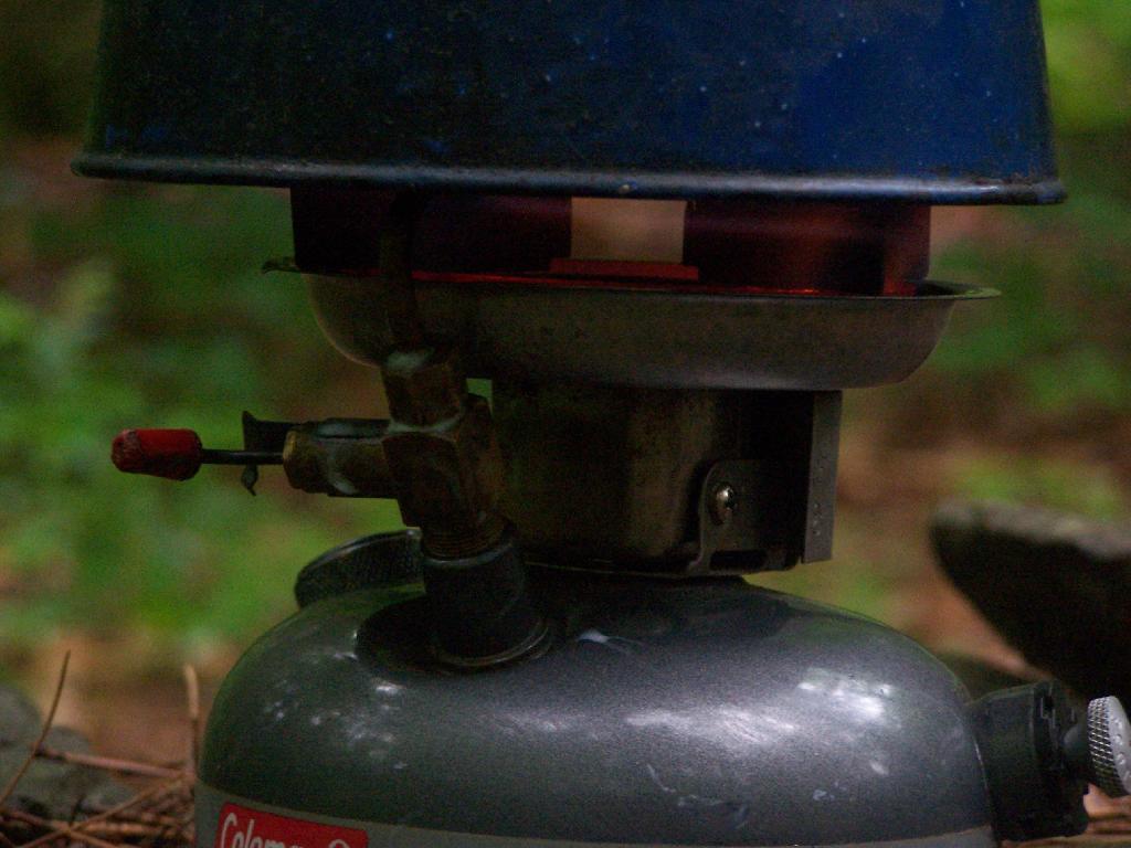
I was quite happy to see that my little white gas stove was well behaved, and not leaking. Last year, when I was cooking something, the gas valve leaked, and the stove’s gas valve and I think also tank caught on fire (!!) I moved the stove away from everything, and fortunately it did not explode.
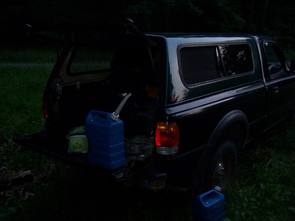
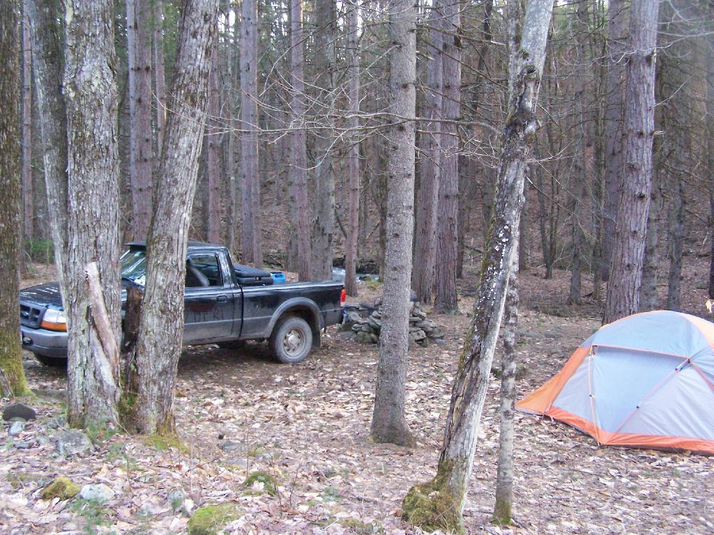
At night, space is a little tight, so I have to stick all my crap up in the cap of my truck. It’s not a great situation having so little space, but I guess it works okay for now. In a thunderstorm, I can still get into the drivers side, despite having a lot of the camping crap packed in passenger side.
Despite the heavy rain in the morning, it was a nice night up there. From here, I went over to Luthernville State Forest and Clapper Hollow State Forest to explore some of those lands, in my truck.
Here is a map of Betty Brook, in case you don’t know where it is by now. Next time I camp up here, I will probably camp either at the lean-to or up by Doney Hollow Pond on Burnt Hill Road. I haven’t camped up there since Labor Day Weekend 2006.
I’ve camped up at Burnt-Rossman State Forest a couple of dozen times. It’s one of my favorite places to go out truck camping, with it’s remote and quiet nature, and while I had known from maps that there was a lean-to up there, that one could hike to, I had never actually visited it. I had spent the previous night tent camping, and being up early, decided to check out the lean-to.
The lean-to is located on the section of the Long Path that crosses Morey Road, just south of Rossman Hill Road, right next to the old cemetary. Alternatively, you can access the lean-to from Burnt Hill Road, just up the hill from where Duck Pond Road splits off. The lean-to is located about a 1/2 mile from either road. Regardless of which way you choose to go, it’s a nice level hike through marshes and old timber stands.
And old woods roads…
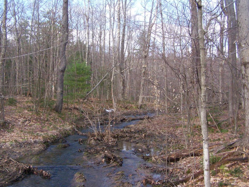
As you past by the headwaters of the Cole Brook, which ultimately helps feed the Schoharie Creek.
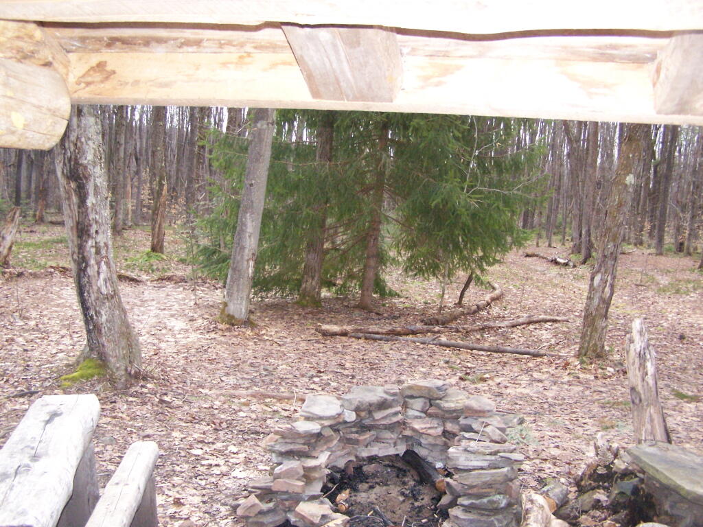
And the lean-to is really nice looking and only used occassionally, mostly by the locals.
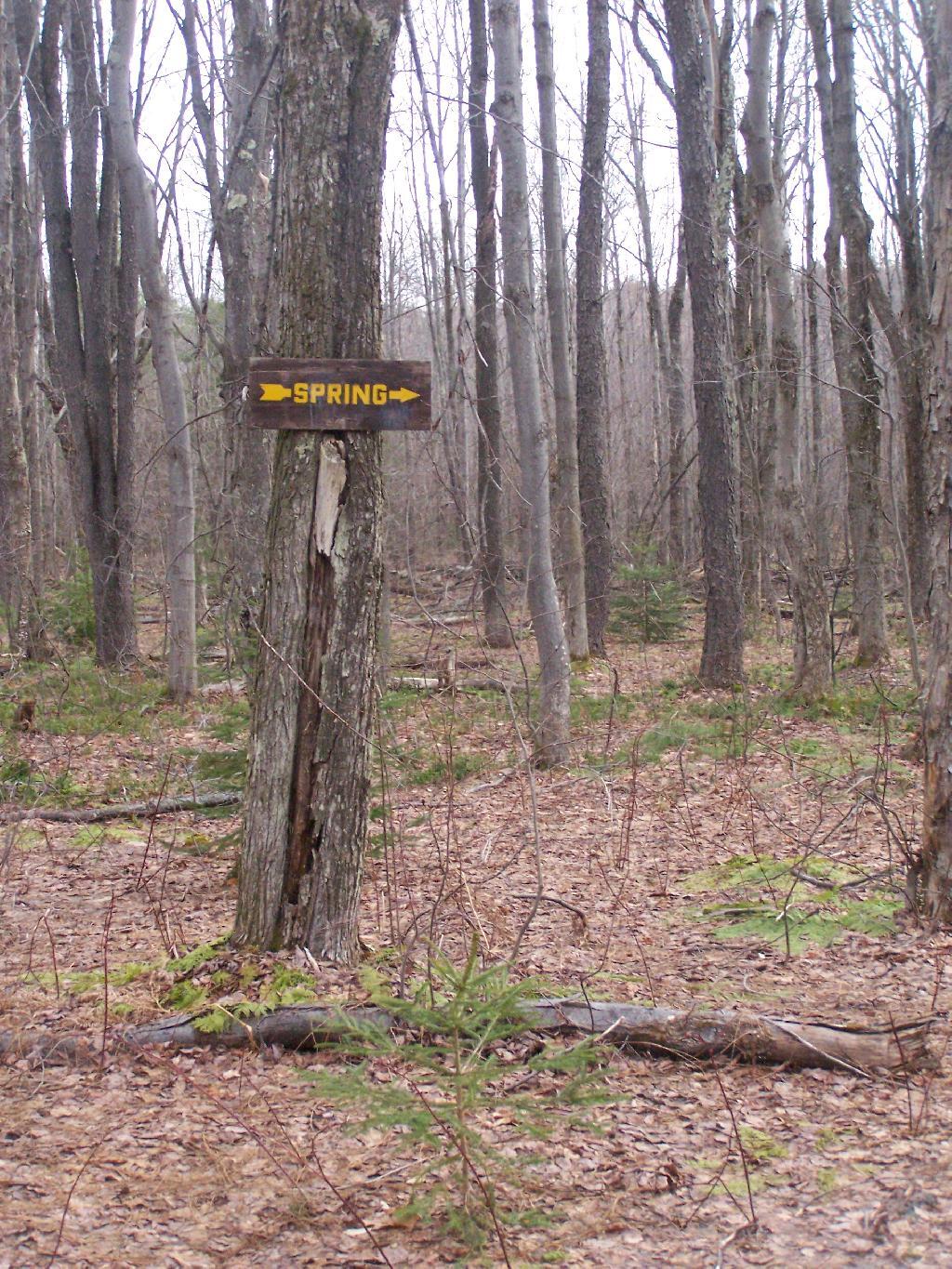
And it’s nearby a spring, or at least a marshy area that never gets wet.
It’s definately some place I would like to stay some day.
The primitive campsites at Burnt-Rossman are my favorite place to visit. They are in a remote part of Schoharie County, yet only a 10 minute drive from I-88 and a total of an hour and ten minutes from my place in Delmar. There is ample water, and the sites have nice little fireplaces, and places to camp where you can drive in.
It rained on Friday night, so I put up my tarp. I spent much of Saturday going between the creek up there with my feet in there, and sitting in this very comfortable chair, reading Noel Perin’s Third Person Rural. It was very quiet Saturday, seeing all but one pickup going past, plus a family in a minivan, and three people riding horseback with cowboy hats.
I had my Christmas lights up and stayed up really late several nights. It was great, and beat the horrible humid weather that people in Albany had to suffer through during this very warm weekend.
I left work about 3:30 on Friday to go camping out at Burnt Rossman State Forest. It was a nice evening out the first night, warm and comfortable. I sat up under the moonlight until 1 AM, listening to the radio, reading, and watching the flames flicker in the campfire. I had my florescent lamp hooked up to my pickup, and the music going loud. But there was nobody around, so it didn’t really matter.
The weather was not as clear on Saturday. I went for drive out west, ending up outside of Cooperstown in a very rural, but mountainous area called the Burlington Flats off Route 51. Interesting little area, that reminded much of the other portions of the Central Leatherstocking regions, particularly a similiar area along US 20 in the area of Winsfield. Beautiful country for sure, but without much economic activity.
When I returned back to Burnt-Rossman State Forest I went for a little hike wandering through the woods. I ended up visiting a campsite I had previously stayed at. Apparently I passed by some turkey hunters, and didn’t realize it, until I started back and heard them shooting. I decided to take the road mostly back for my own safety.
It started to rain about 7 PM, and it eventually put out the campfire. I sat under the cap of my pickup, with a book and read until 11 PM at night, when I decided it was time for lights out. It was a noisy night, sleeping under the fiberglass cap with the rain pounding down on it. The next morning I was damp and tired, so I left around 6 AM, got on I-88 and was home by 7 AM. It was a nice experience.