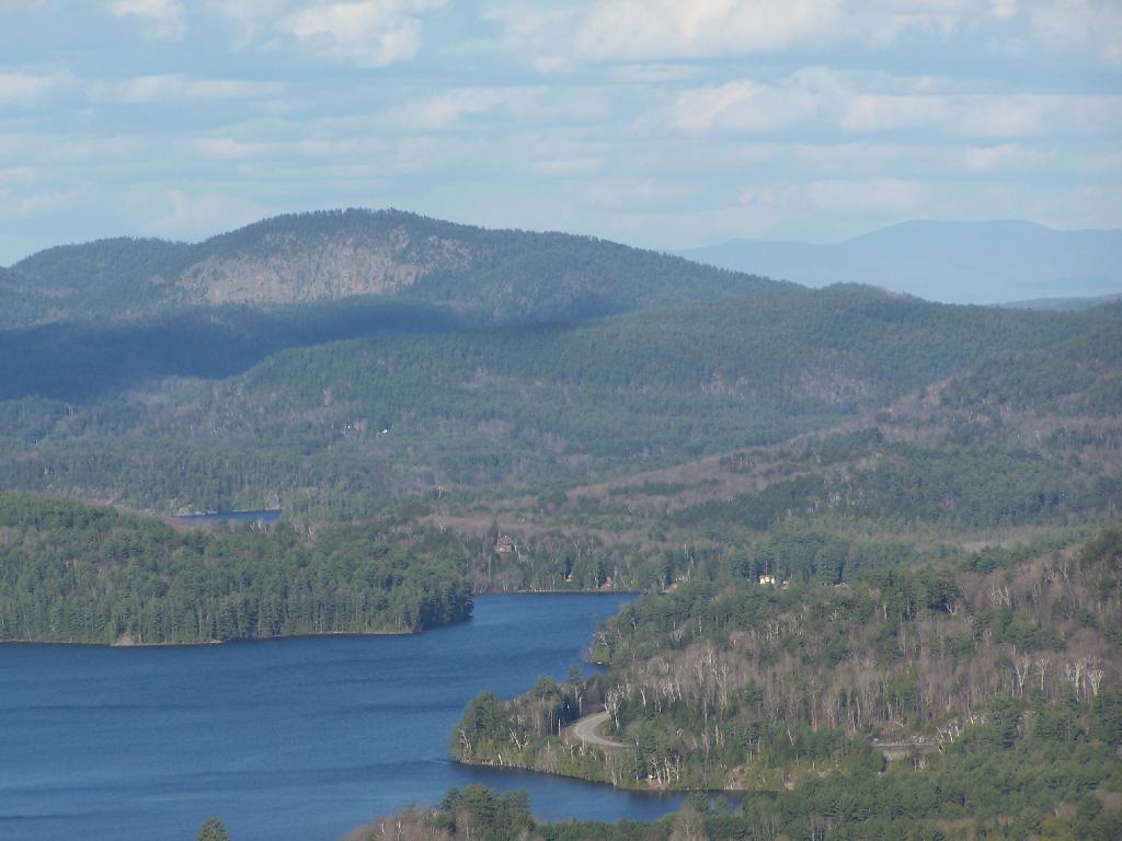
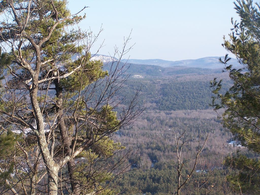
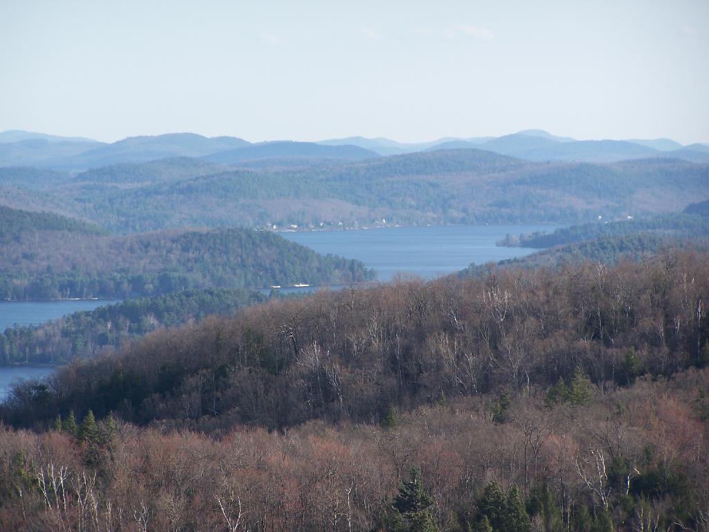
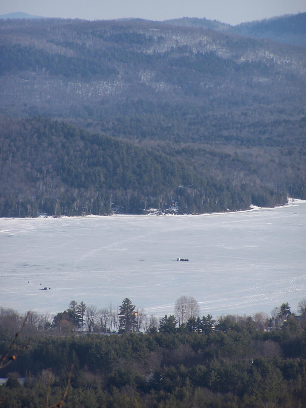
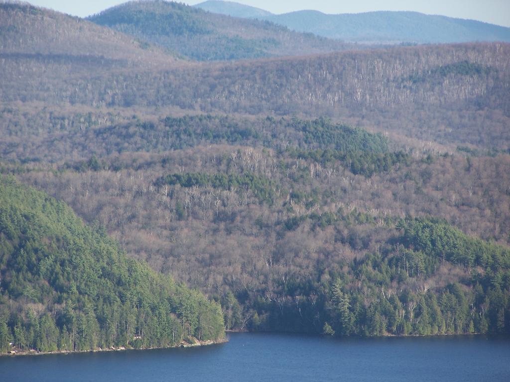
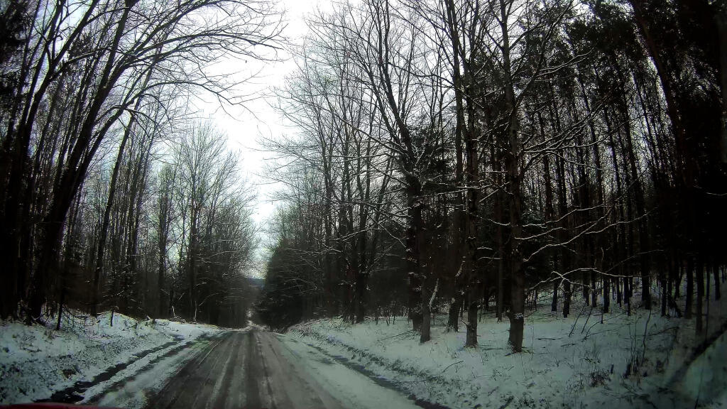
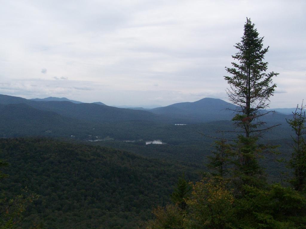
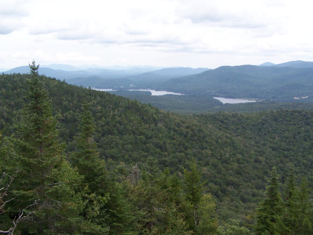
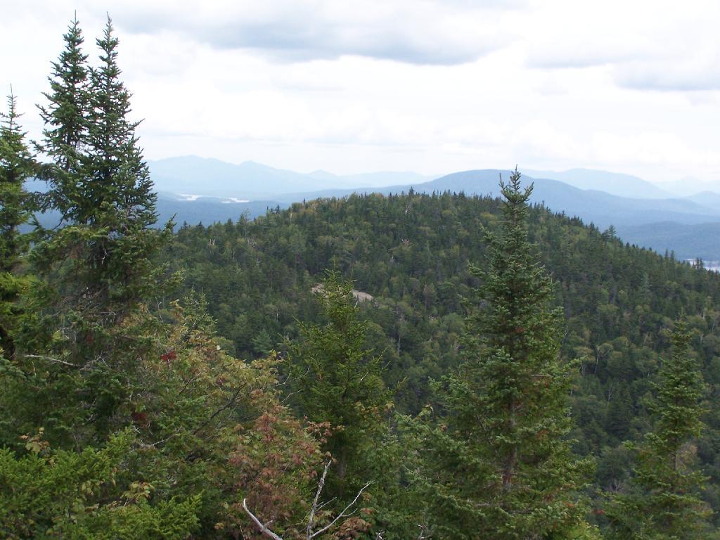
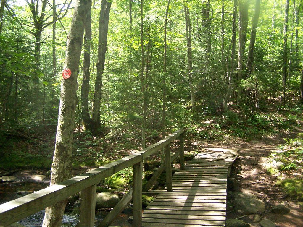
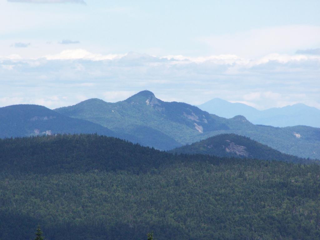
Last year, I happened to hike Severance Hill above Schroon Lake on March 7th, and also on April 11th. Being roughly one month apart, I figured it would be an interesting study in how the seasons change between these months.
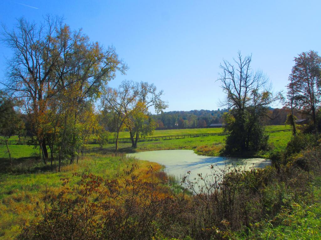
Green Lakes State Park beautiful and unique state park featuring mineral rich waters, meromictic ecosystems, and old growth forest outside of Syracuse, NY. I went out for a 1.5 hour walk along these lakes on a beautiful fall morning around 7 AM.
It is a three mile walk around both Green Lakes and Round Lake, and is very popular for crazy suburbanite joggers, which will try to run you over when you go for an early morning walk. In the day time in the fall it’s even more crowed, though there is no entry charge after Labor Day Weekend
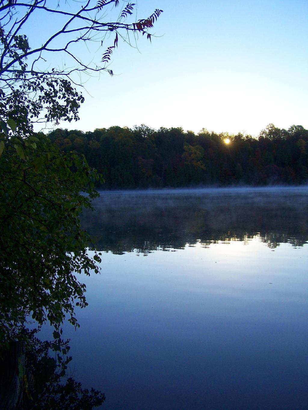
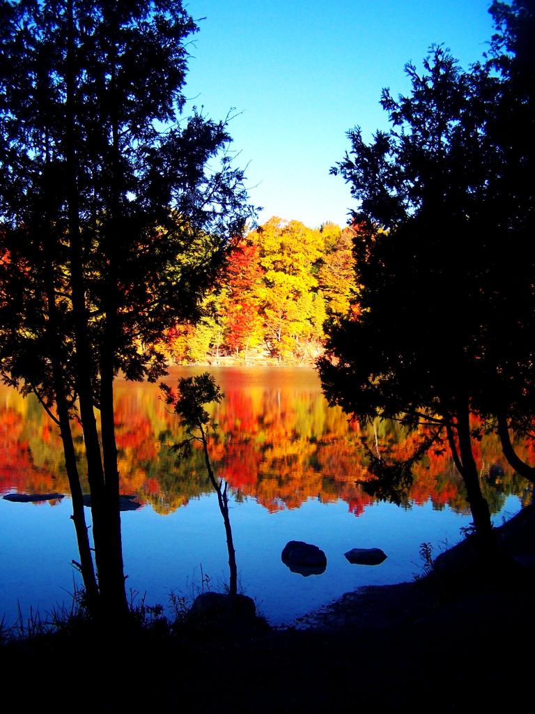
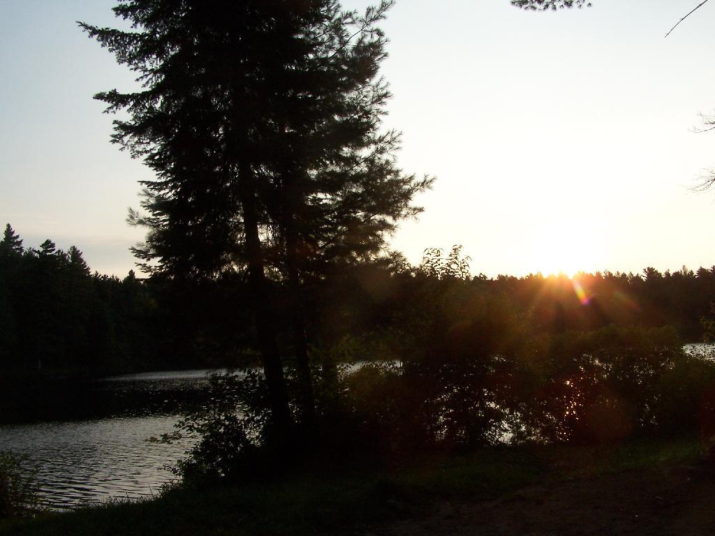
Watching the sun rise across the lake.
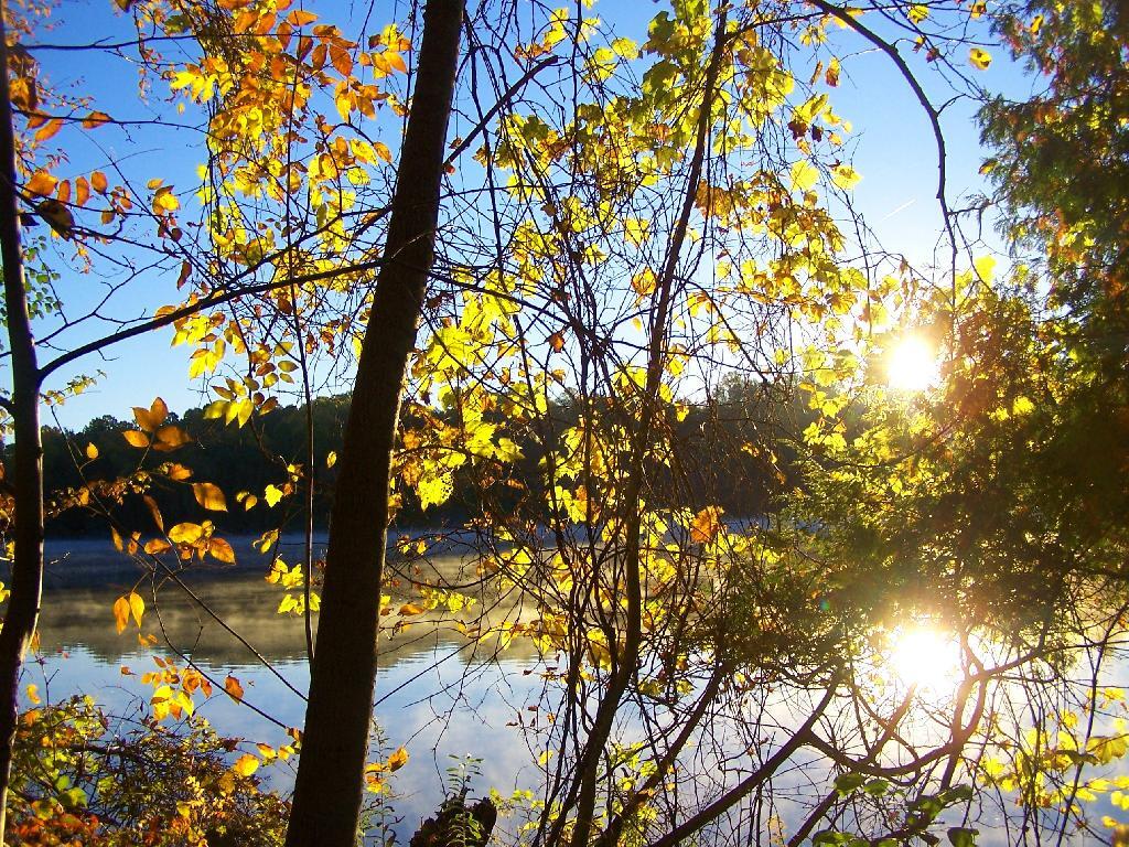
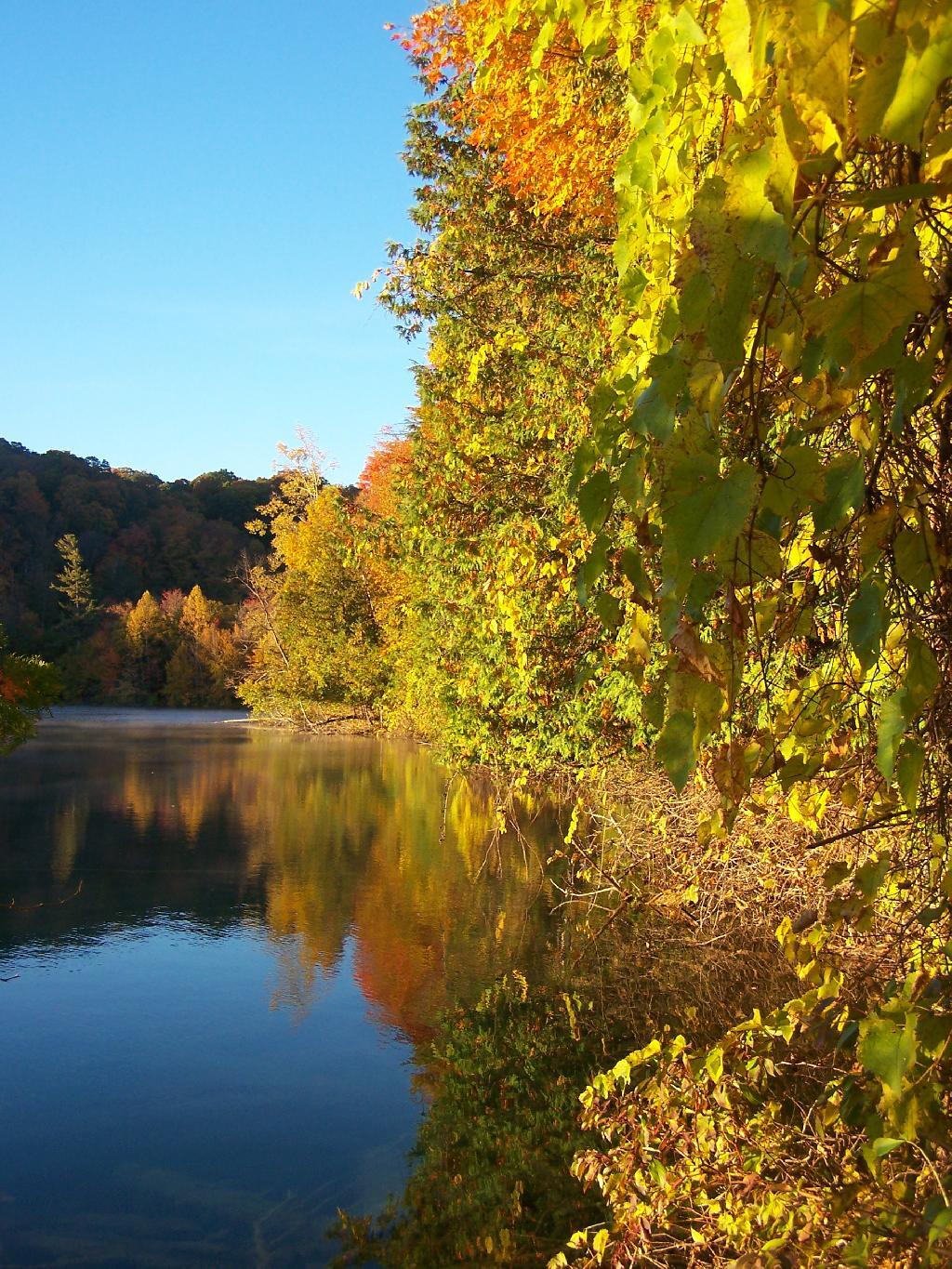
The colors along the trail as the sun rose where spectacular.
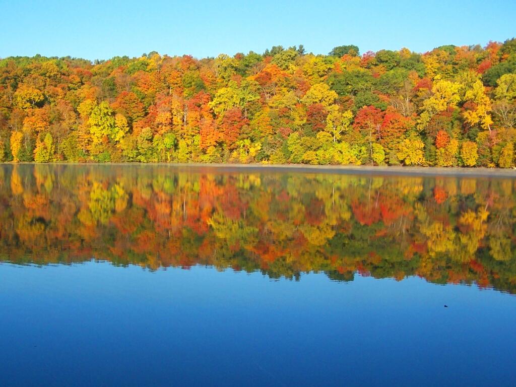
As I walk along the very colorful tree line along the lake.
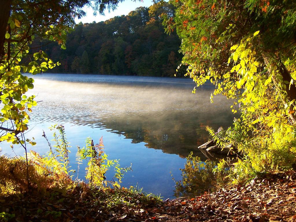
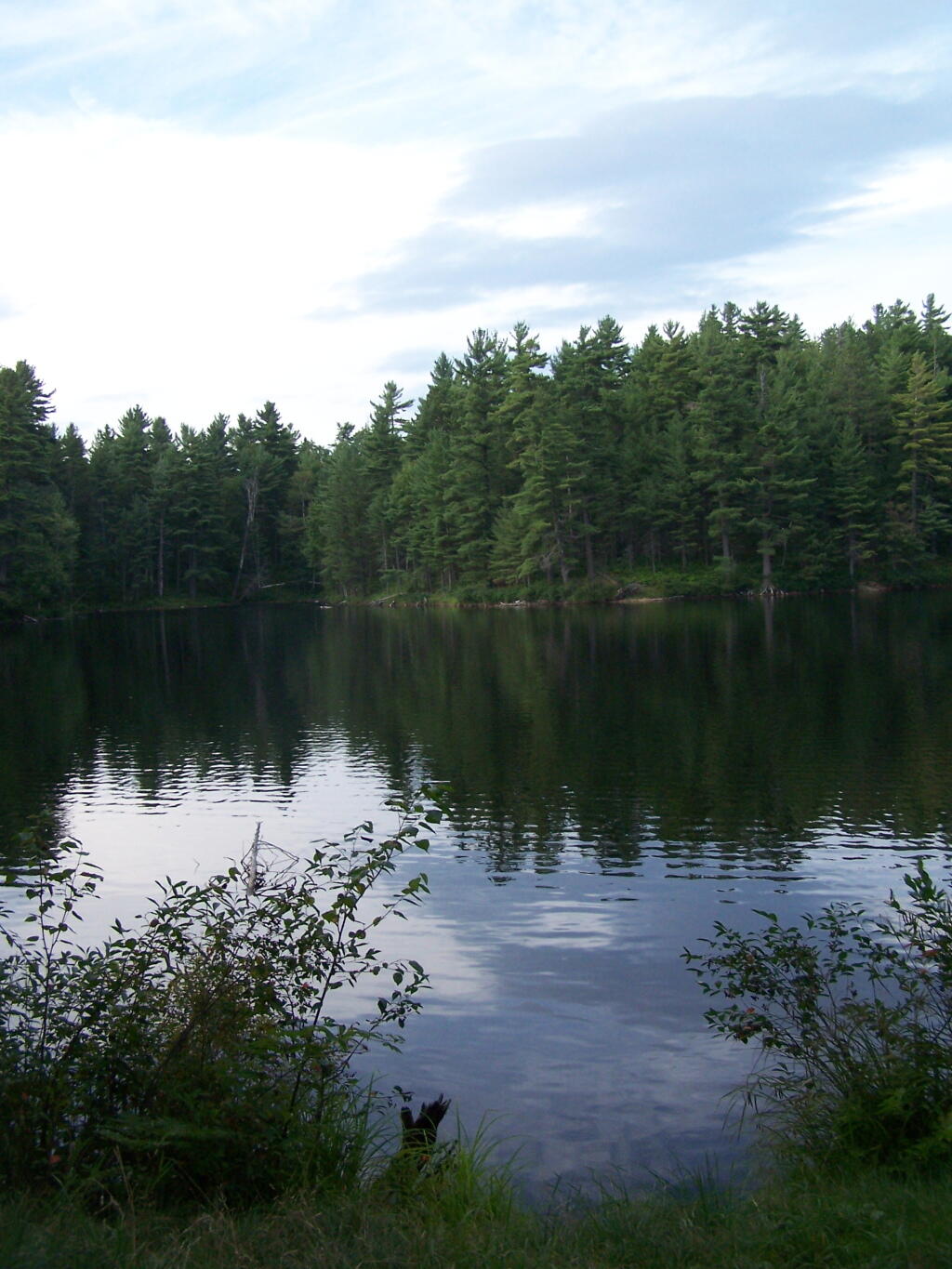
As the fog rises on Green Lake and over green lake.
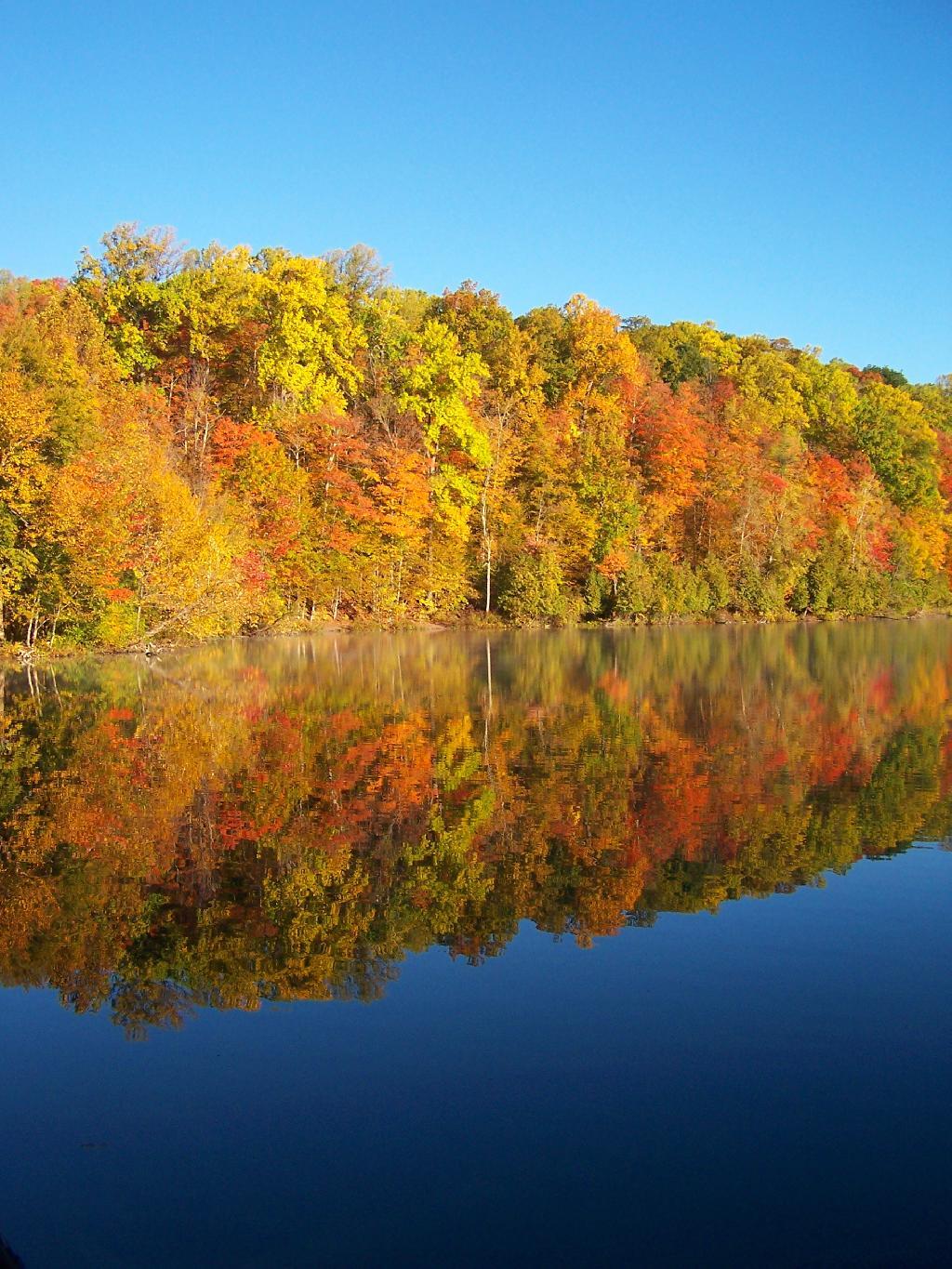
Walking over to Round Lake and watching the colors of the trees reflect on the lake’s surface.
On a brightly lit trail around Round Lake as the sun filters through the colors of fall.
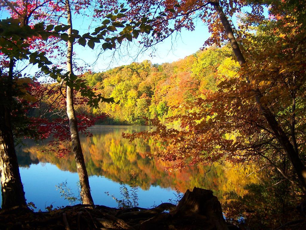
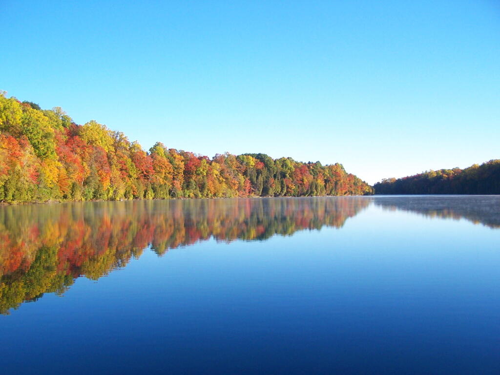
And dozens of color reflect upon Round Lake.
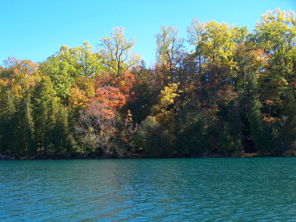
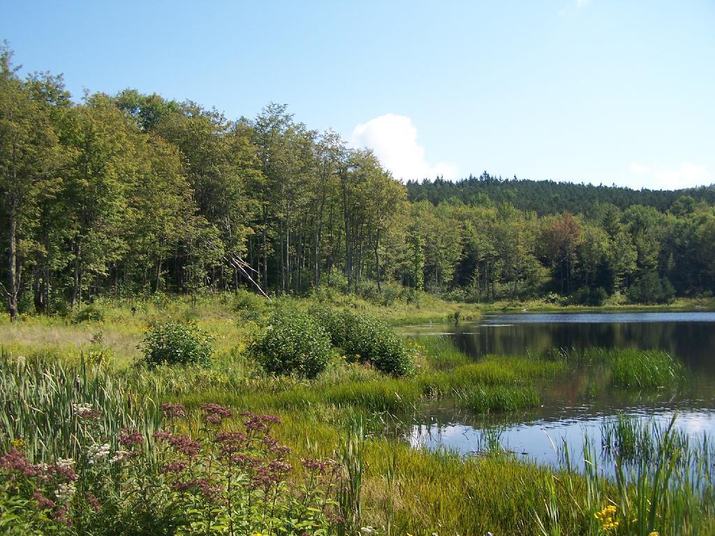
Then I walk over to Green Lake with the colors at peak on a very beautiful fall morning.
From the southern edge of Green Lake, there is this pretty little point jetting out into the Lake.
I proceeded to walk along to the western Edge Of Green Lake to see the bright colors across the lake. This is from the point shown in the previous photo.
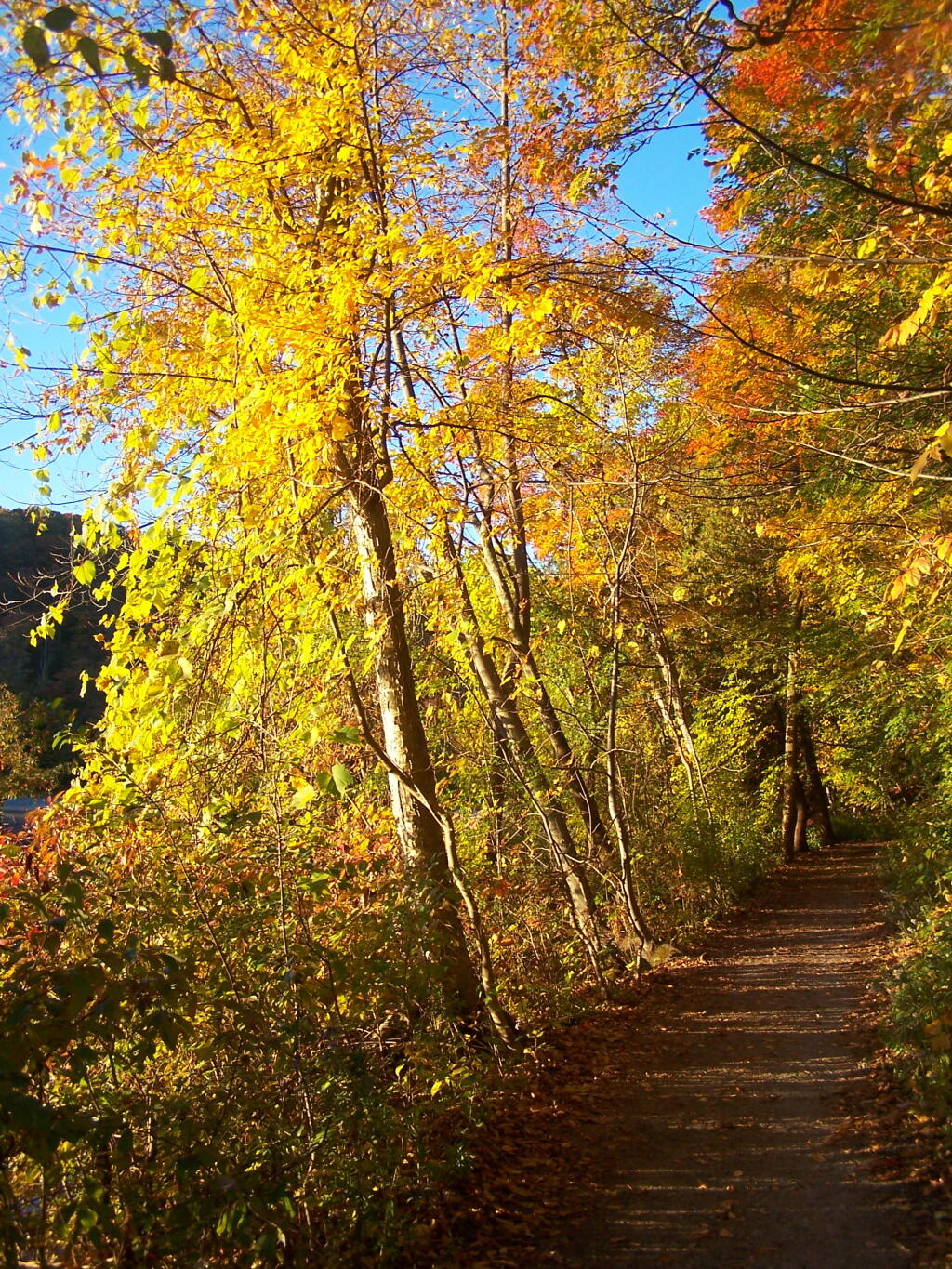
One last view of the colors, as I return back to my truck.
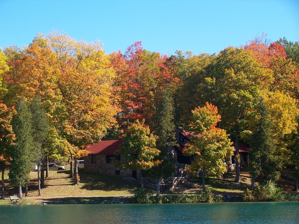
The Old Administration Building at Green Lakes (taken the previous afternoon).
The New Administration Building at Green Lakes.
Note: The best time for peak folliage at Green Lakes State Park is during the Columbus Day Weekend in October. This is when I was out hiking here. If you want to visit it during the most pretty part of the day, make sure to get here right at the crack of dawn, which occurs about 15 minutes later then surrounding areas, due to the low elevation of the lakes.
Here is a map of the walk around Green Lake and Round Lake. If you are doing it in the morning, it’s best to walk around the Eastern Shores first for the sunrise, and the Western Shores second to see the colors on the leaves.
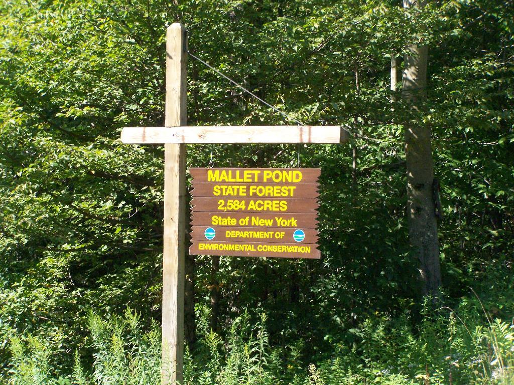
Mallet Pond State Forest is a smaller state forest (2,584 acres) across the valley from the Burnt-Rossman Hills. While smaller, it is still rugged and remote, with rough dirt roads, two ponds, camping sites, and public lands to explore. Many of the roads around it are poorly marked and heavily posted, however if you follow the below map, and drive up to Summit on NY 10, and take Sawyer Hollow Road to Rossman Fly Road, it’s not as bad to locate.
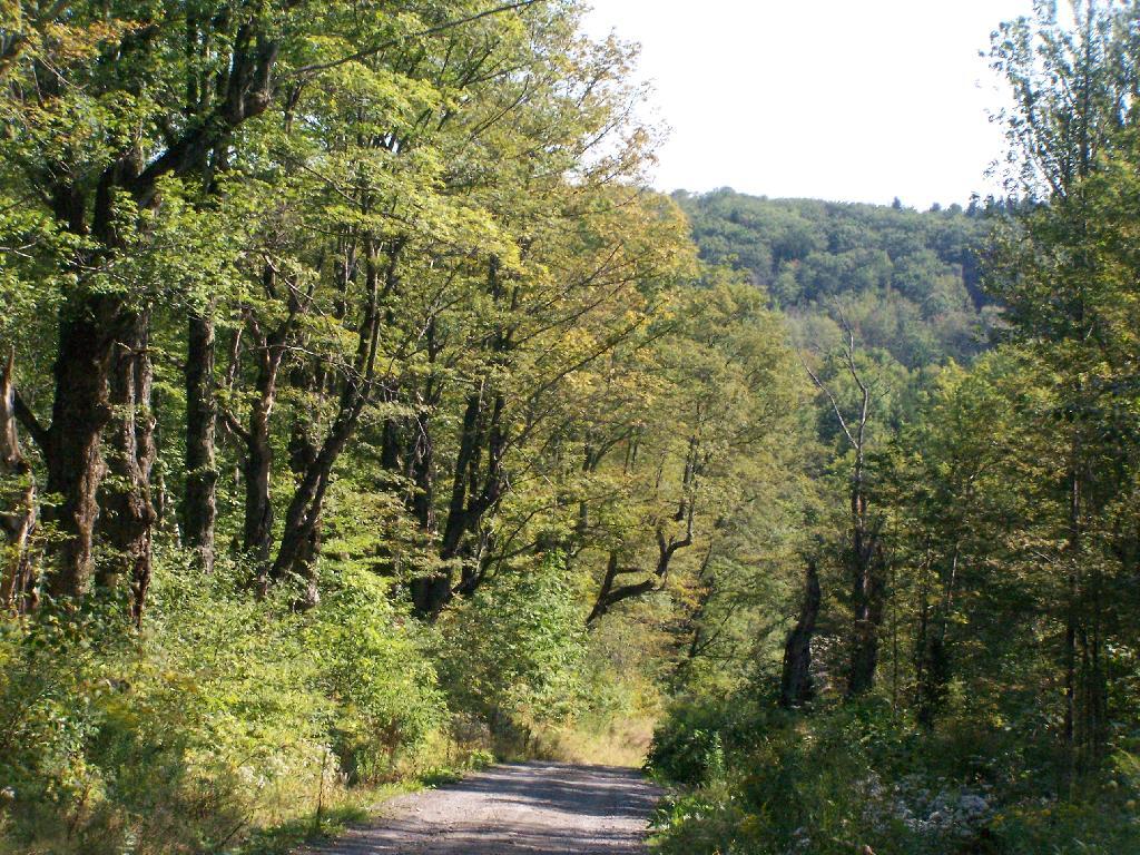
Rossman Fly Road. This is from the intersection, as it head down into the valley where Rossman Pond and Mallet Pond are located.
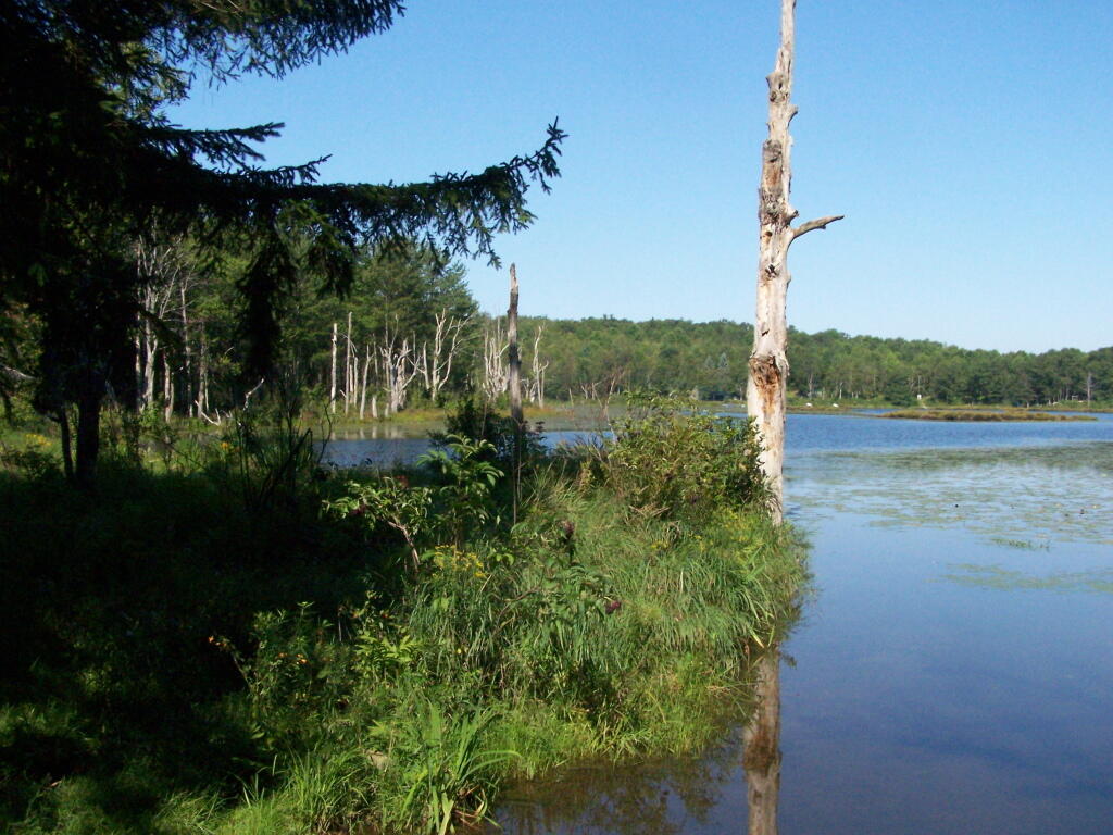
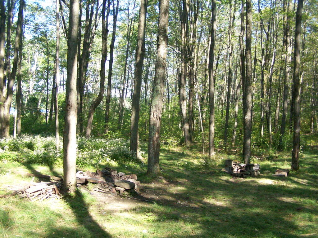
Rossman Pond. There are a series of hunting campings and private houses located along the other shore. The state only owns about 1000 feet of frontage along the lake, basically enough for a campsite and a parking area.
Campsite at Rossman Pond. This is one of the many informal campsites in the area. None of them have designated markers, and don’t comply with state set backs, but as witnessed by the wear and tear on the grass, and mention in the Unit Management Plan, they are well used and recognized as such.
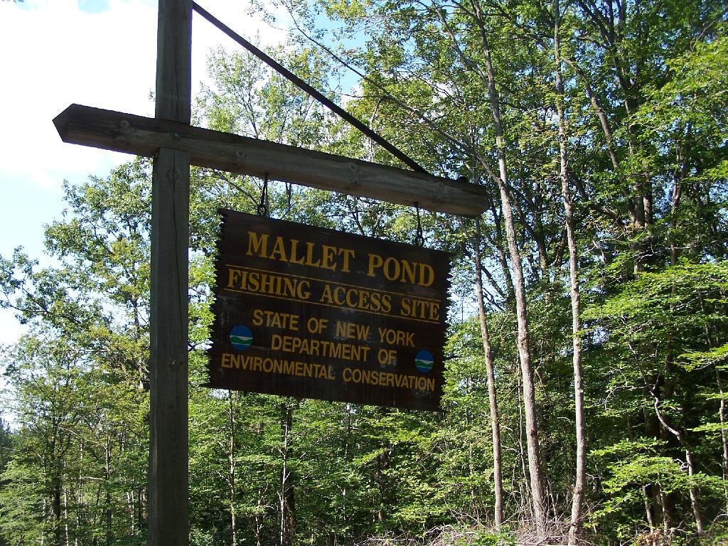
I drove down to Mallet Pond Parking Area. Unlike Rossman Pond, Mallet Pond actually has a sign showing where it is. There are no other signs for Mallet Pond from here on down, but the road is easy to follow to the pond.
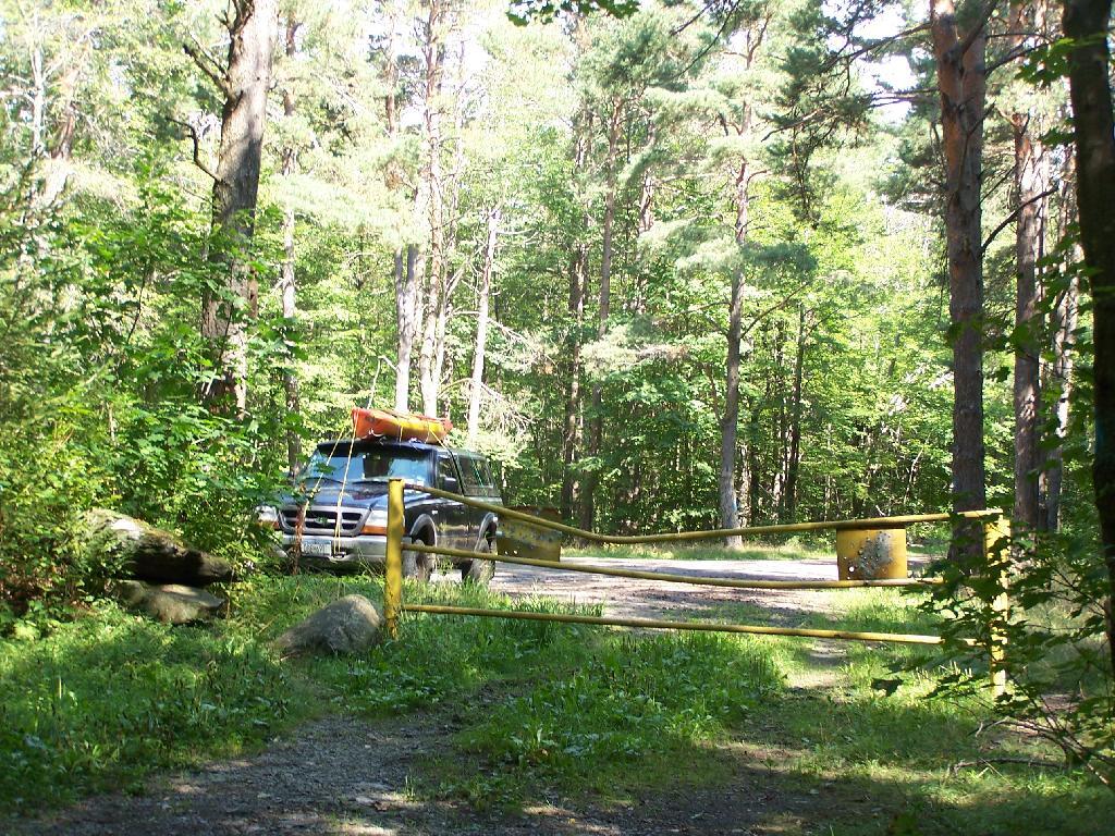
Gate at Mallet Pond. There is a gate 1/2 mile from Mallet Pond. Normally I don’t like gates and keeping the public from driving down to their lands, but Mallet Pond is kind of nice being so remote for camping, fishing, or wild life observation. Rossman Pond, which you can drive right up to, has no such gate.
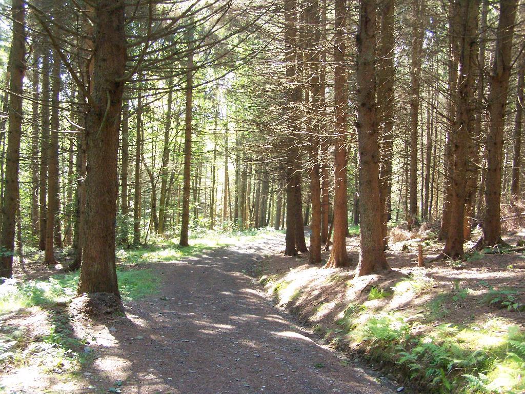
Path Down to Mallet Pond. It’s handicap accessible and if their wasn’t the gate, you could drive all the way down to the pond.
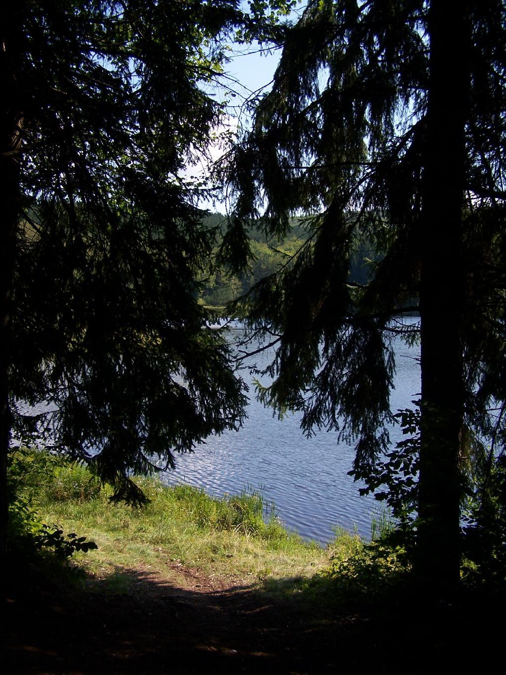
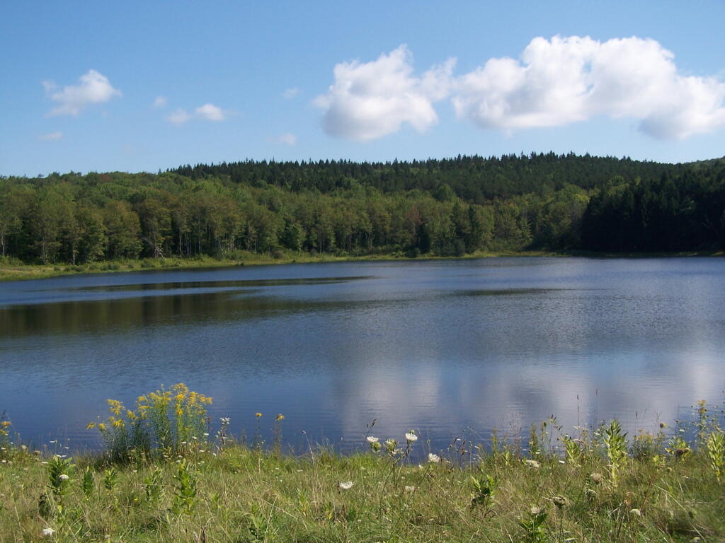
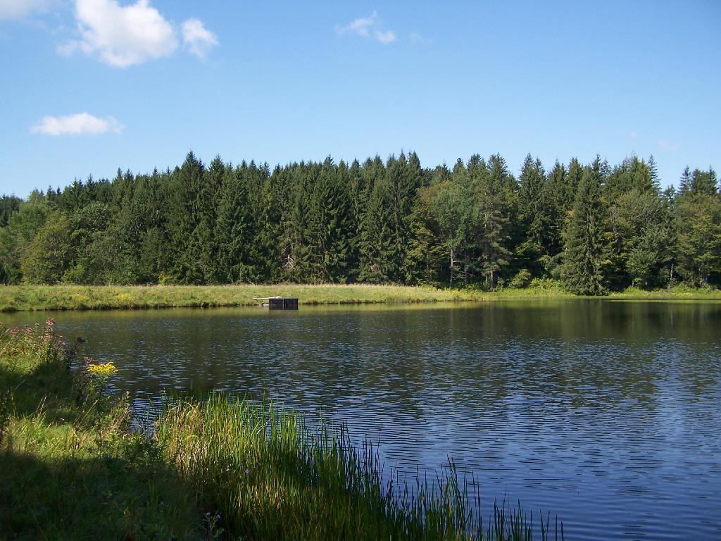
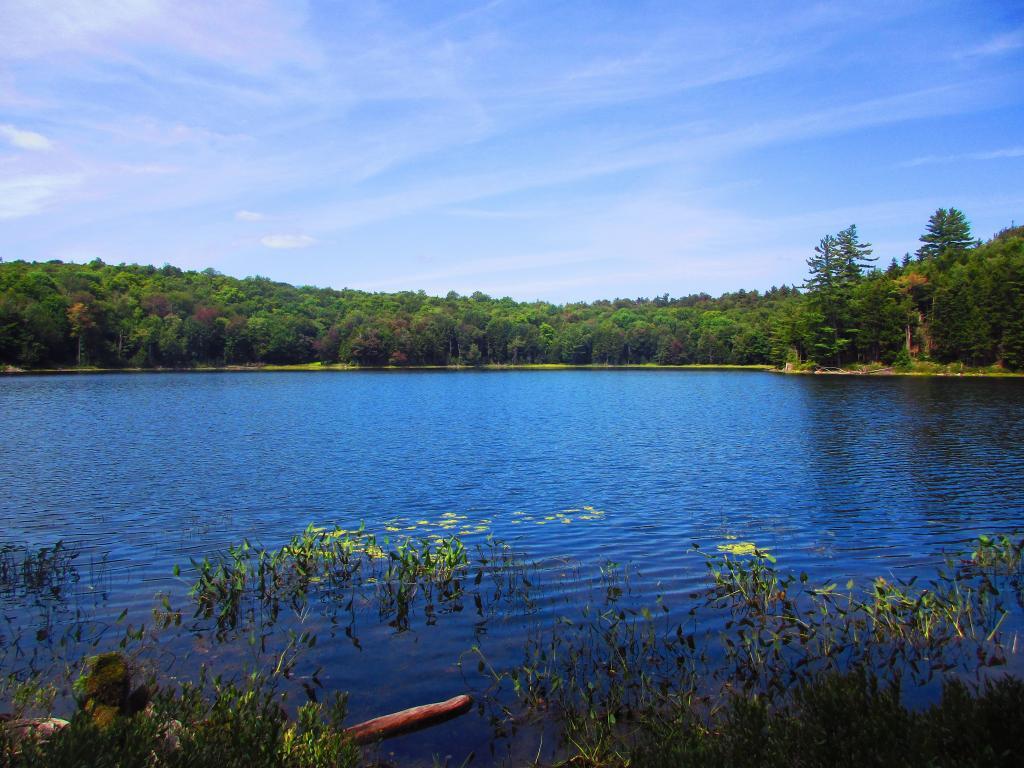
Mallet Pond. It certainly is a beautiful little pristine pond, a ways off the beaten track.
Campsite. For being the “party” lake for SUNY Cobelskill students, it was remarkably clean and well upkept. Maybe those farm kids actually take care of the land. Actually, most of the lands around here are well upkept, in part thanks to Ranger Tom Edmons too.
Pond from Campsite. It certainly was a pretty little campsite up on the bank.
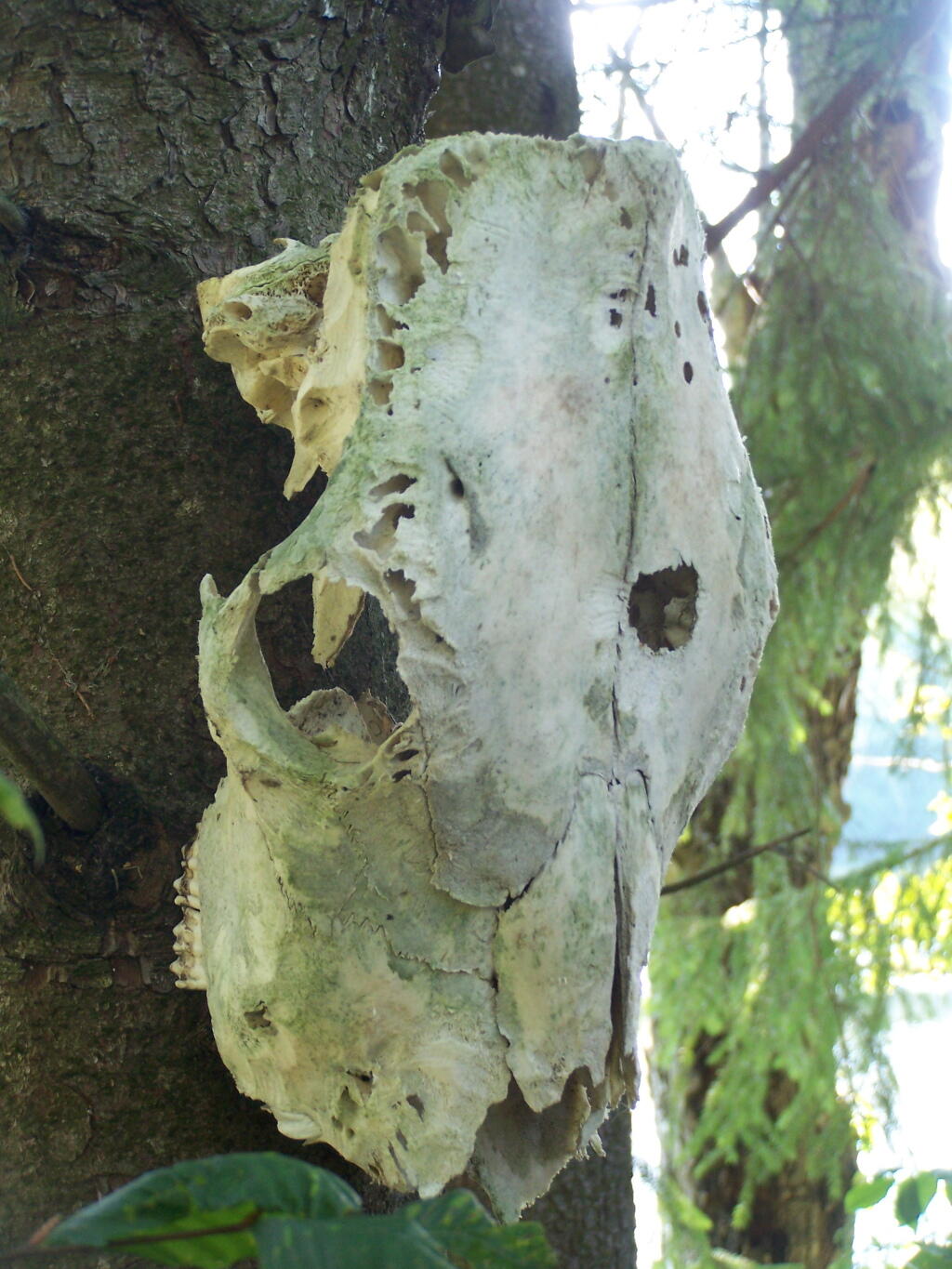
Cattle Skull. This cattle skull was hung up at the campsite on a tree. Cool! It appears to be from a dehorned cow, and the lower jaw is missing. I’m guessing it was brought on up by a SUNY Cobelskill Ag Student.
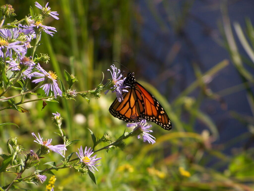
Butterfly. Pollinating a wildflower along Mallet Pond.
Mallet Pond. Standing up on the embankment of the dam.
Mallet Pond Dam. The earthen dam that makes up Mallet Pond is about 30 feet high. You wouldn’t know it unless you look at it from a top the dam.
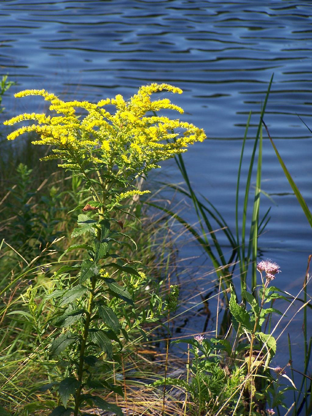
Goldrod. Walking along the eastern side of Mallet Pond.
Edge of Mallet Pond’s embankment is made up these large flat shale rocks, and lined with them to discourage erosion over it’s massive earthern dam.
The upper pond is Rossman Pond, with the campsite right by the parking area. The lower pond is Mallet Pond, which you have to hike down to. Both ponds have undesignated but popular campsites.
Mountain Pond is located about 2 miles North of Paul Smiths College on an old routing of NY 30. It is in Debar Mountain Wild Forest, with 2 large campsites on the pond, 3 smaller ones on or near the pond, and 10 other along Mountain Pond Road. It’s little used due to it’s remote location, and easy to even get one of the large sites on the lake on the weekends.
Old NY 30 Signs. Along Mountain Pond Road/Old NY 30, you can see the road signs dating back to the 1960s or maybe even earlier, prior to modern alignment of NY 30.
Campsite 4. Here is the view of Campsite 4 from Old NY 30/Mountain View Road and down by the lake. A nice campsite, big, roomy, and private, although the much smaller Campsites 5 is fairly close.
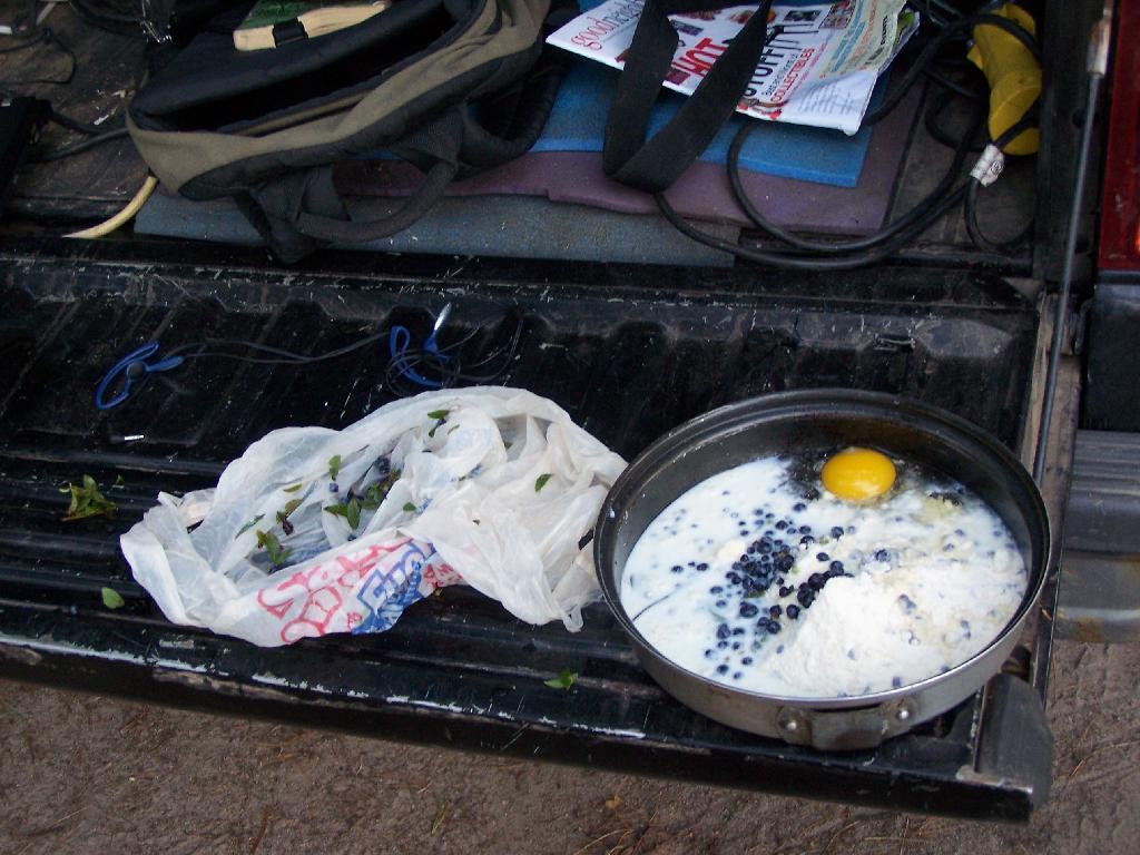
Making Up Blueberry Cake Mix. Here I’m the Blueberry Cake Mix, and getting ready to add the Blueberries I picked up at Moose River Plains. Should be real good.
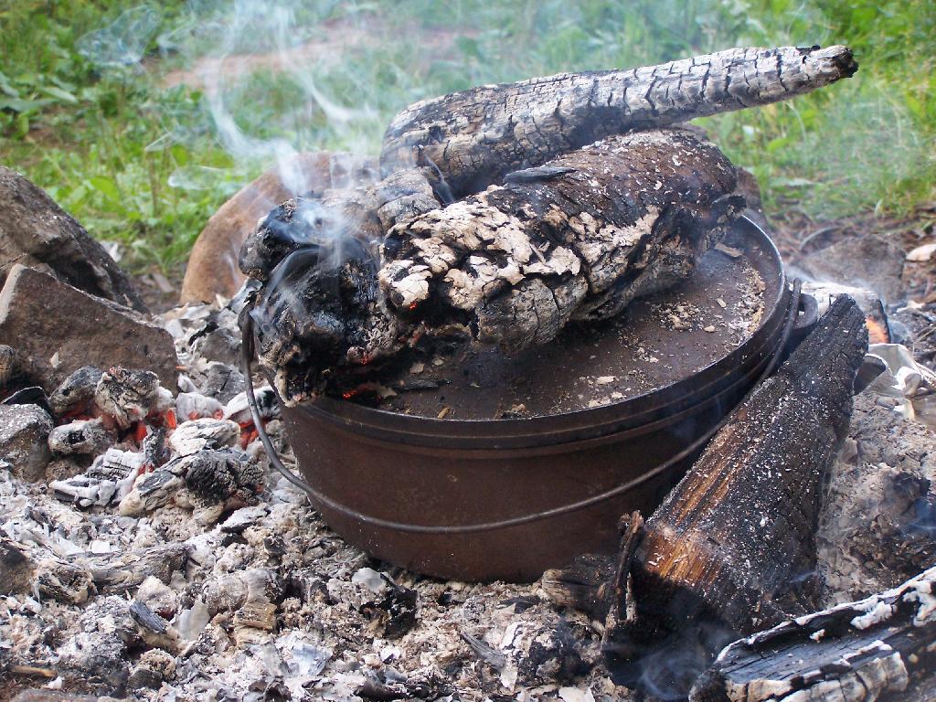
Baking in Dutch Oven. That sure smells good, doesn’t it. I put the pan that the mix was in dutch oven up on rocks, so it didn’t burn the bottom of the cake, and made sure to add adequate coals to the top to keep things cooking evenly.
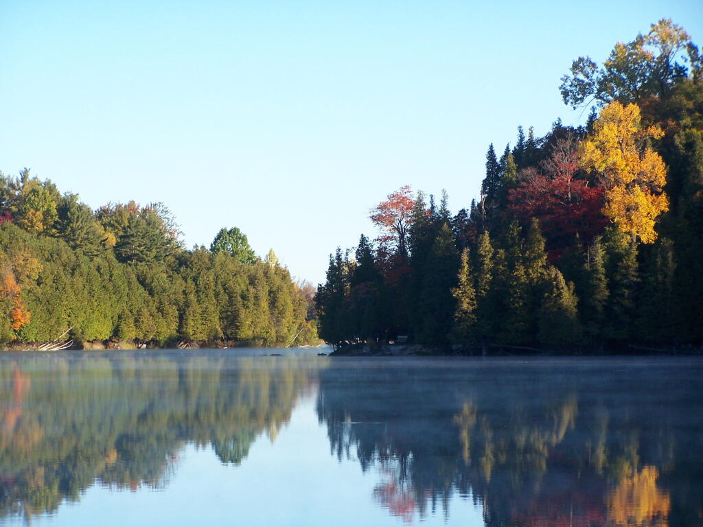
Mountain Pond in the Evening.
First Rays of Sunshine. I purposefully picked this campsite, and parked my truck so that the first rays of the sun, would come through the truck cap, and wake me up around the crack of down (around 6:35 AM this time of year).
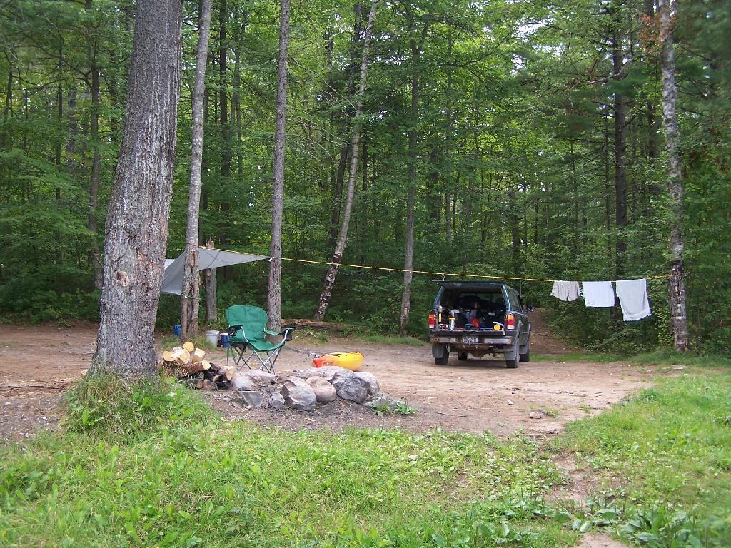
Getting Out and Stretch. That’s my rig with all the messy camping gear and sleeping stuff around, as I first awake in the morning.
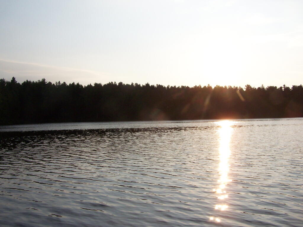
Sunshine. Sparkling on the pond, first thing in the morning. Real purty.
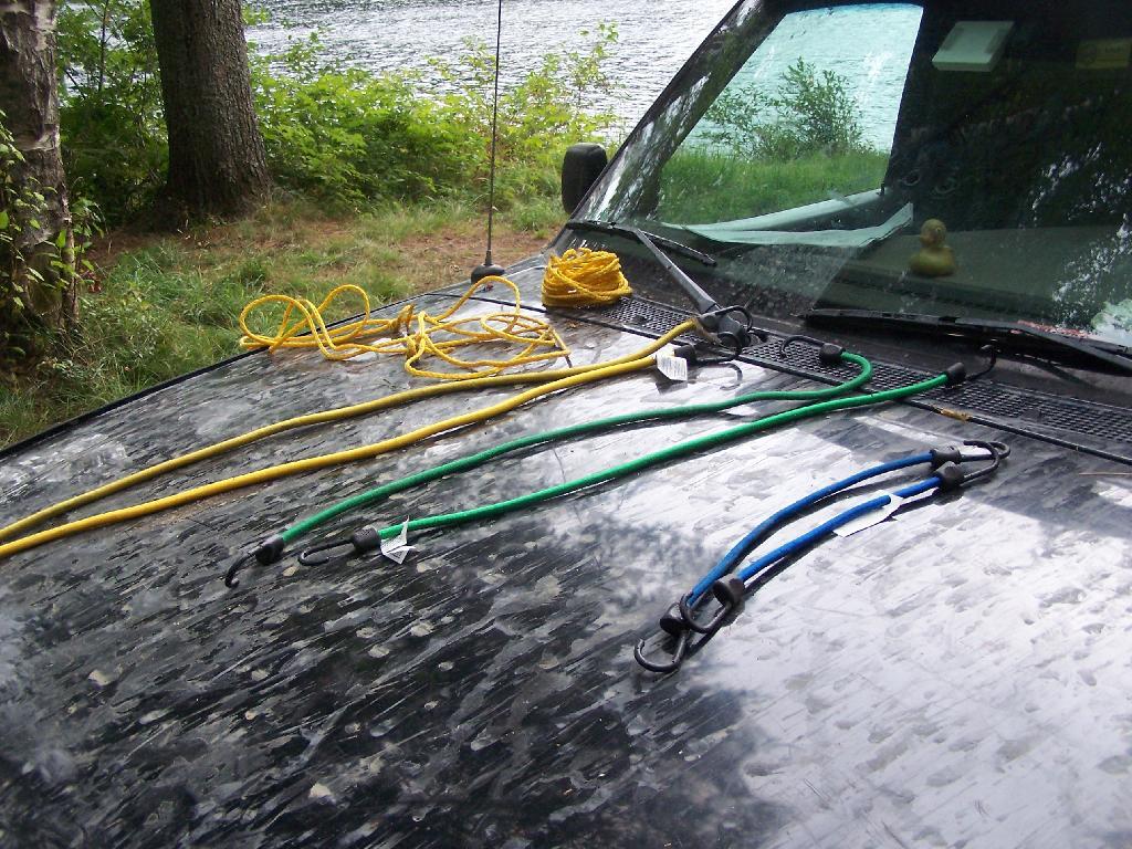
Ropes. These are the ropes and bungee cords I use to secure the kayak on the roof. Seems to work well on the kayak blocks.
Gear All Packed Up. Now just to get the kayak up on the roof.
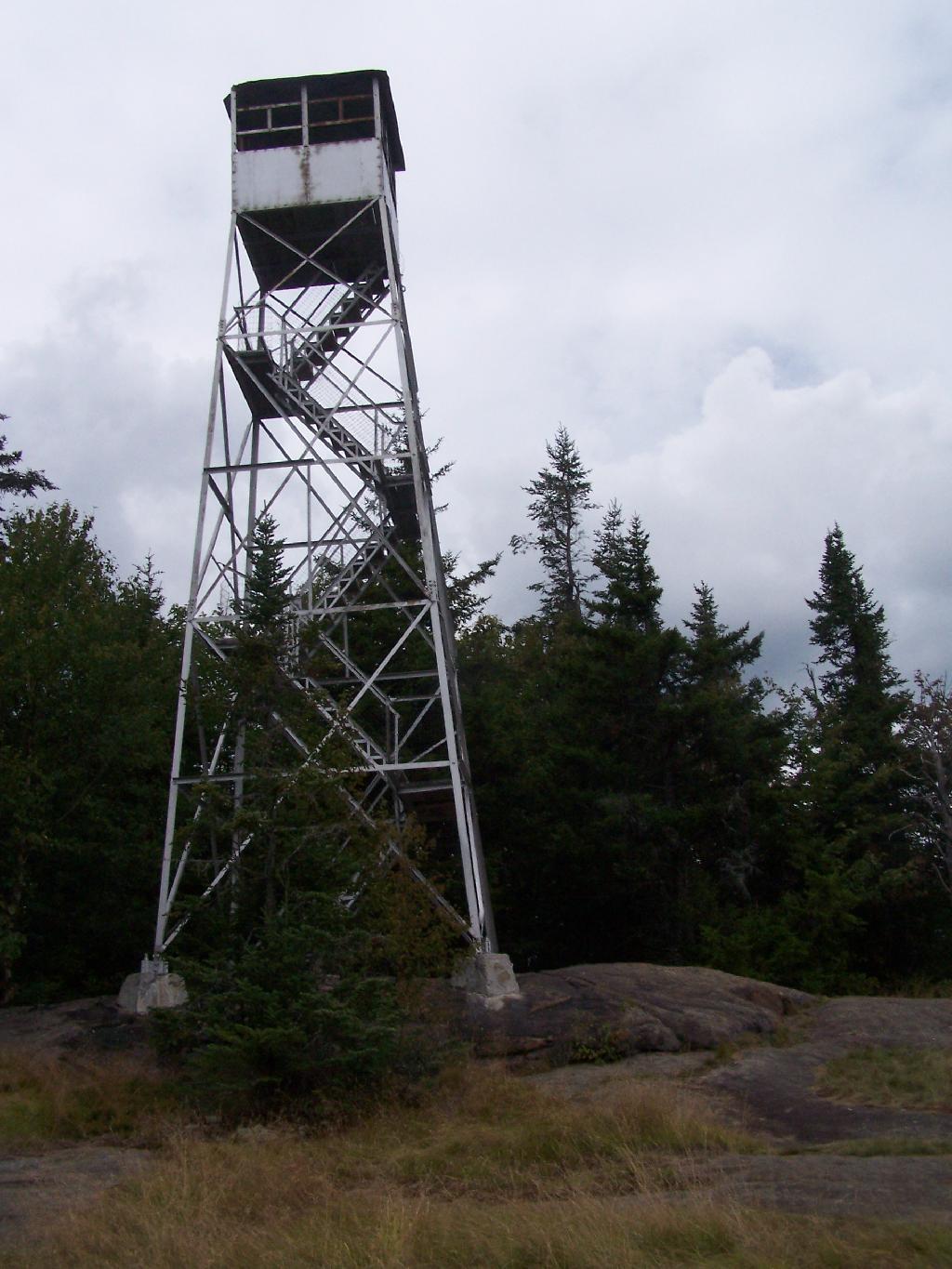
There are at least three different mountains in the Adirondacks known as Owls’ Head due to their small rounded peaks, with broad cols for shoulders. This one is the one near Long Lake, that has a 30 foot LS 45 Aermotor Firetower on top of it.
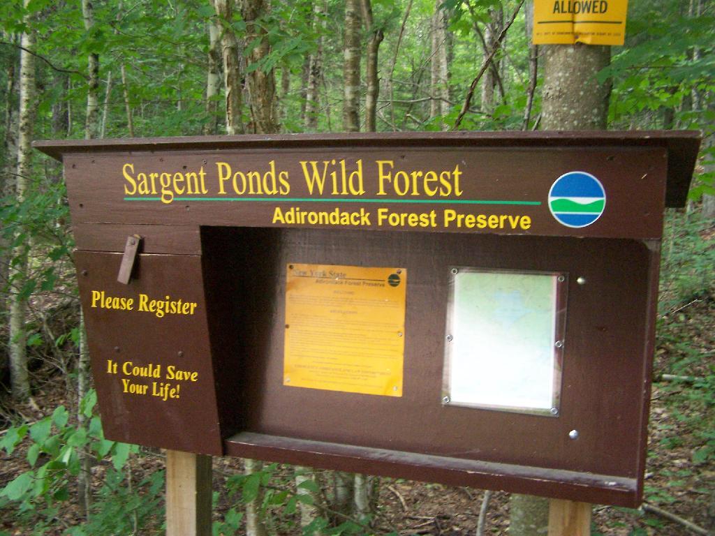
Sargent Ponds Wild Forest Kiosk. This is where you sign in, so they can have an idea on trail use, and make it easier to find you if your lost or injured.
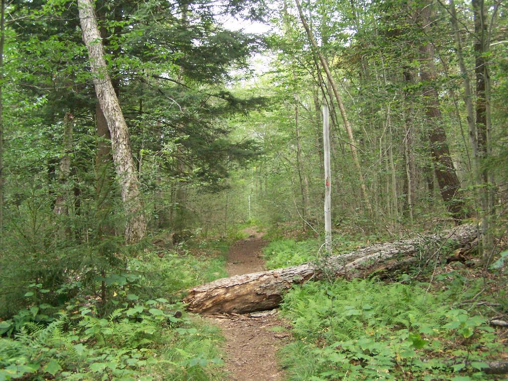
1/2 Mile In. The trail crosses this downed tree.
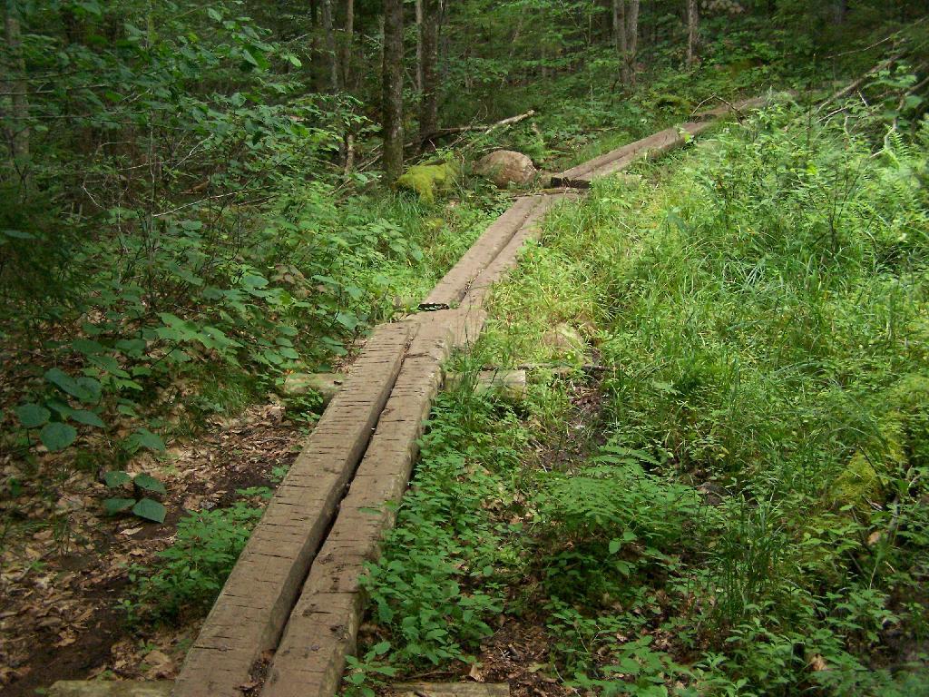
Boardwalks. Parts of the trail cross marshy areas on board walks, like these constructed on the first 3/4 mile of the trail.
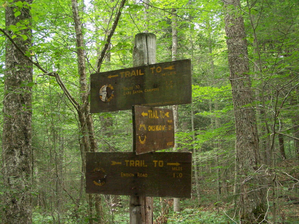
T Intersection. Make a left at one mile, to go up Owls Head. The other direction takes you to the Lake Eaton State Campground.
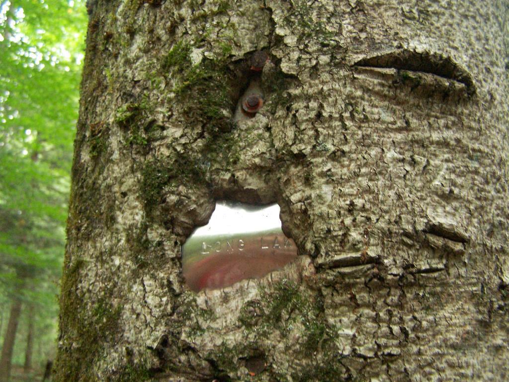
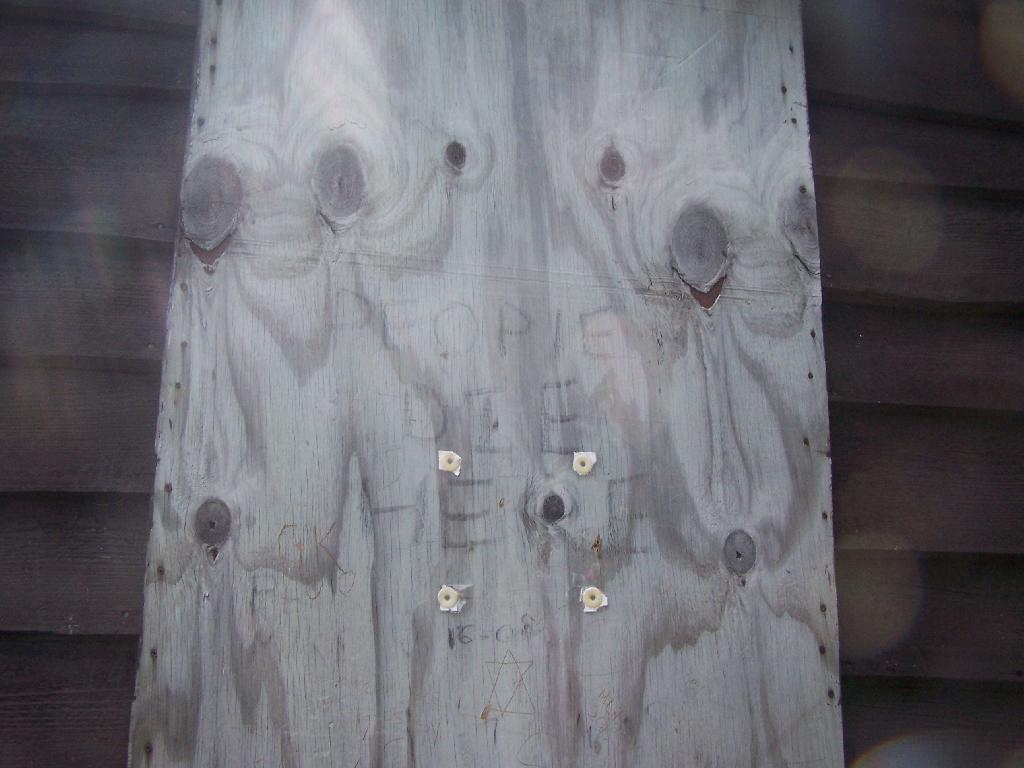
Grown Over Steel Trail Marker. It looks like in 1982, the state experimented with these imprinted steel trail markers along the trail, long since largely grown into the barks of the tree.
Views as You Ascend. This is looking backwards, towards the Sargent Ponds Wilderness, Lake Eaton, and the timber lands between here and Tupper Lake.
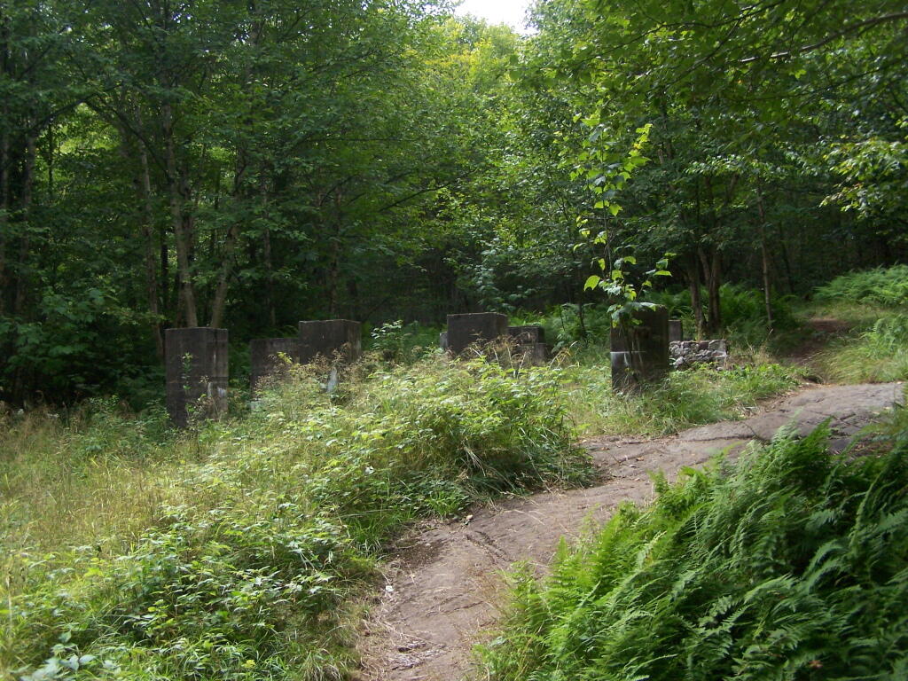
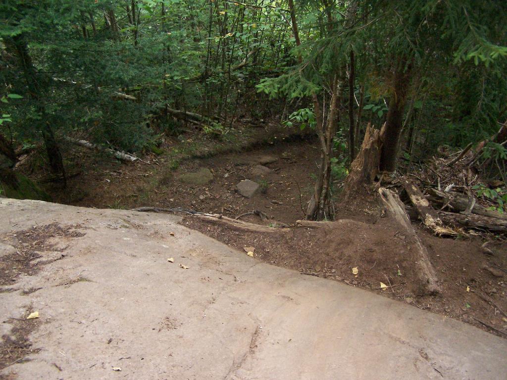
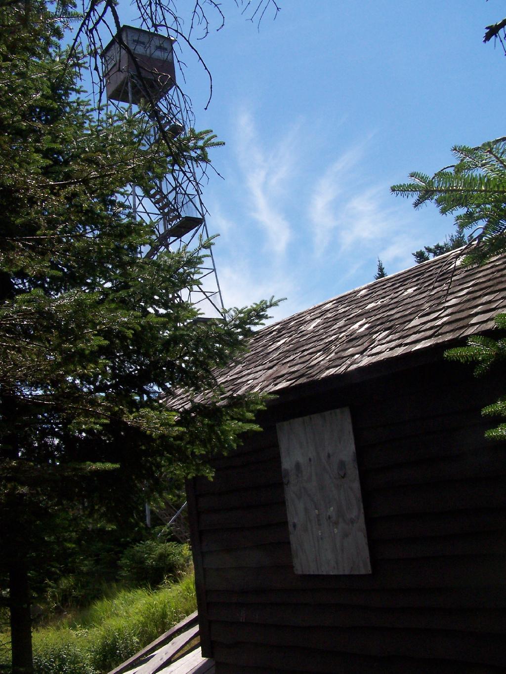
Observers Cabin Ruins. The cabin the fire warden lived in years ago, is not located on top of Owl’s Head, but below it on the shoulder. It’s a 1/4 mile hike to the top, and you accent about 200 more feet, up the pointly little head. The cabin was probably located here, so the warden could meet visitors, and escort them to the top.
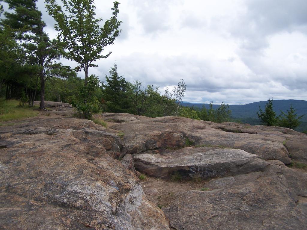
Well Worn Trail. Part of the trail is well worn, and is on open rock face. The good news however is with the lush tree cover, you don’t have to worry about acrophobia up here.
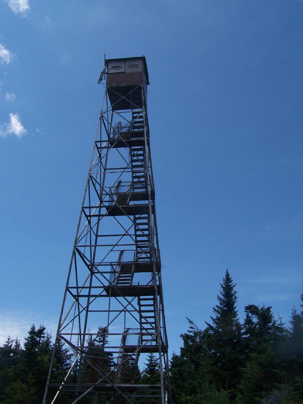
Reaching the Tower. You can’t see the fire tower until your almost on top of it, due to the heavy trees that surround the summit of the mountain, except for the bald portion where the tower is located, open to views to the south and east.
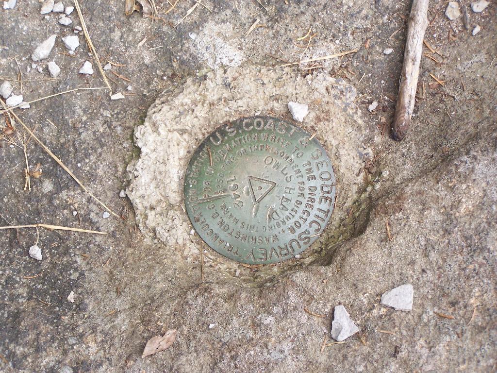
Survey Marker. It says it was placed in 1942 by USGS. It’s right below the fire tower proper.
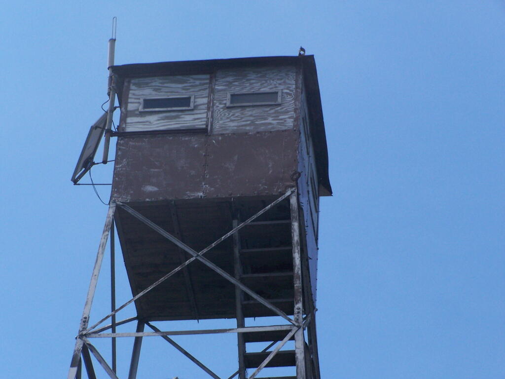
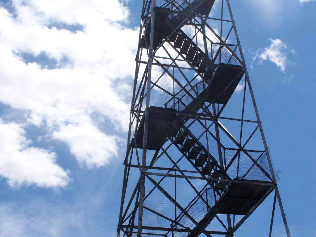
Fire Tower. The fire tower is a 30 foot LS 45 Aermotor tower, pretty typical for NY State. It’s one of the short little towers, like also seen on Rondaxe Mountain in Eagle Bay.
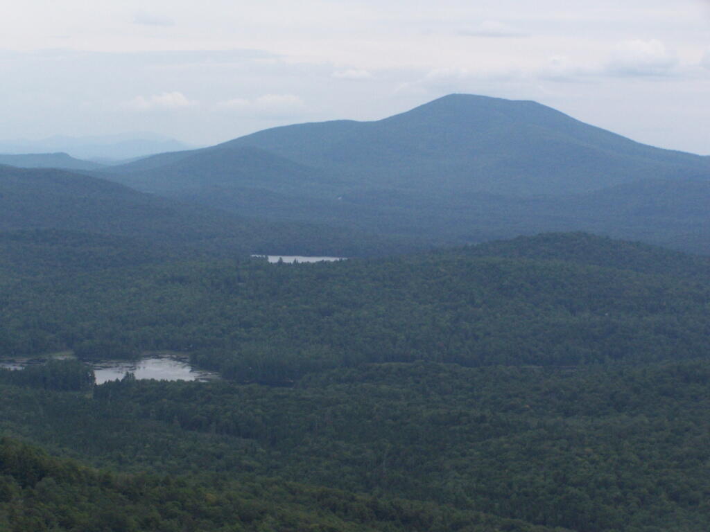
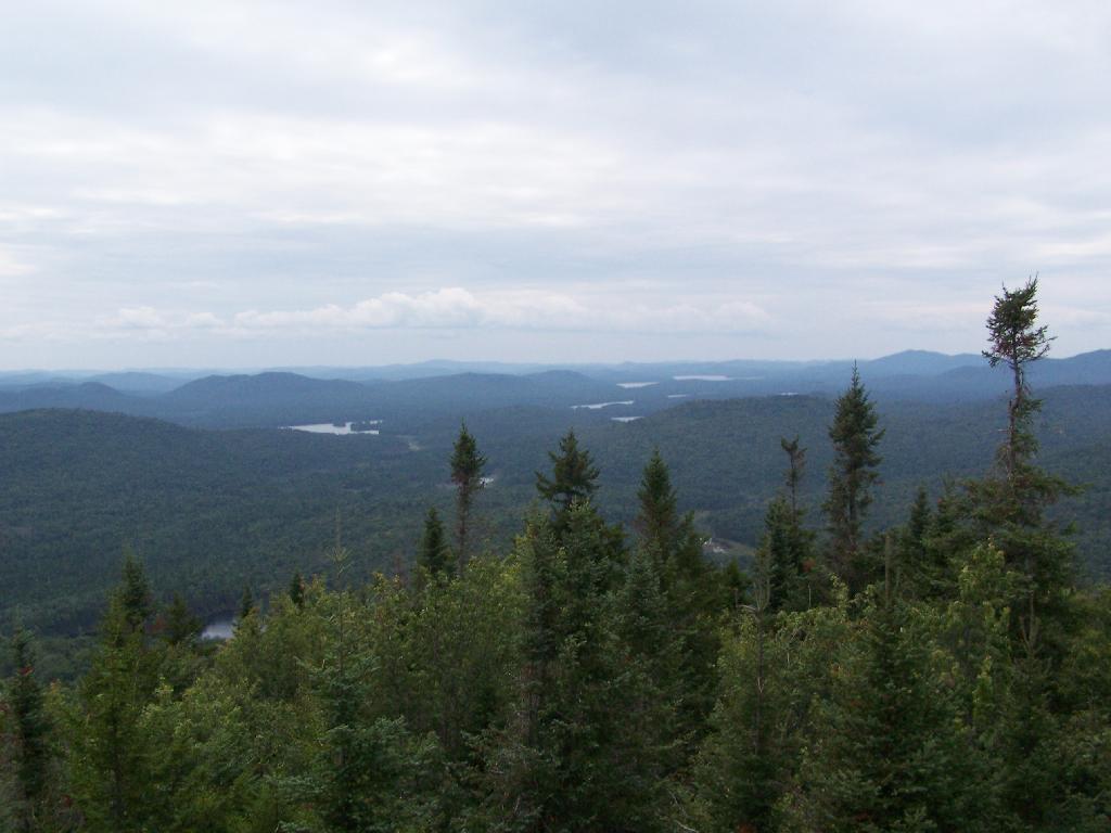
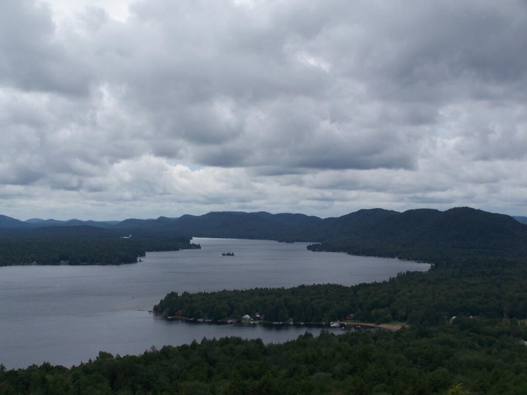
Forked Lake. This is looking south from the summit towards Forked Lake Campground and possibly Racquette Lake. The mountain in the distance is Wakely Mountain, one of the other fire towers originally used to pin-point fires in the Adirondacks (it takes two towers to locate a fire through triangulation).
Long Lake. This is another picture of Long Lake, a little bit farther north, with the shoulder/col of Owls Head visible in the foreground.
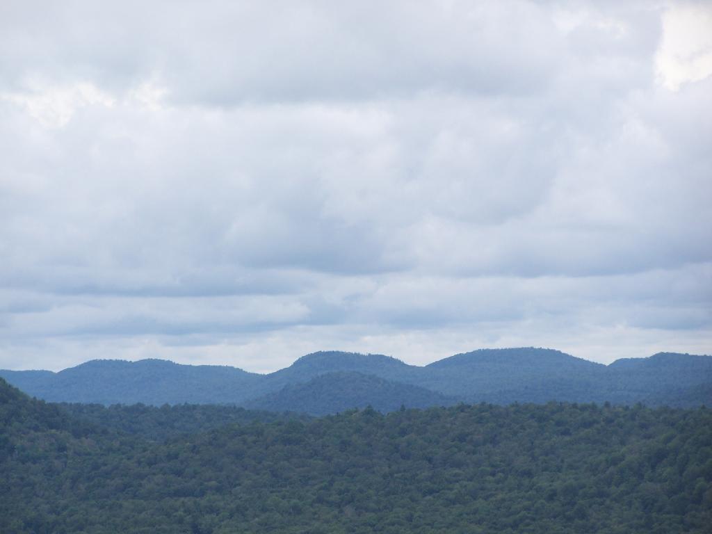
North. In the distance is Saranac Lake and Lake Placid, with Whiteface just beyond it. Not the clearest or nicest of days, but still visable. In the foreground is the col/shoulder of Owls Head.
Blue Mountain. Blue Mountain is another fire tower / mountain that is visible from Owls Head. Located about 10 miles away, in the foreground are Minnow Pond and Mud Pond.
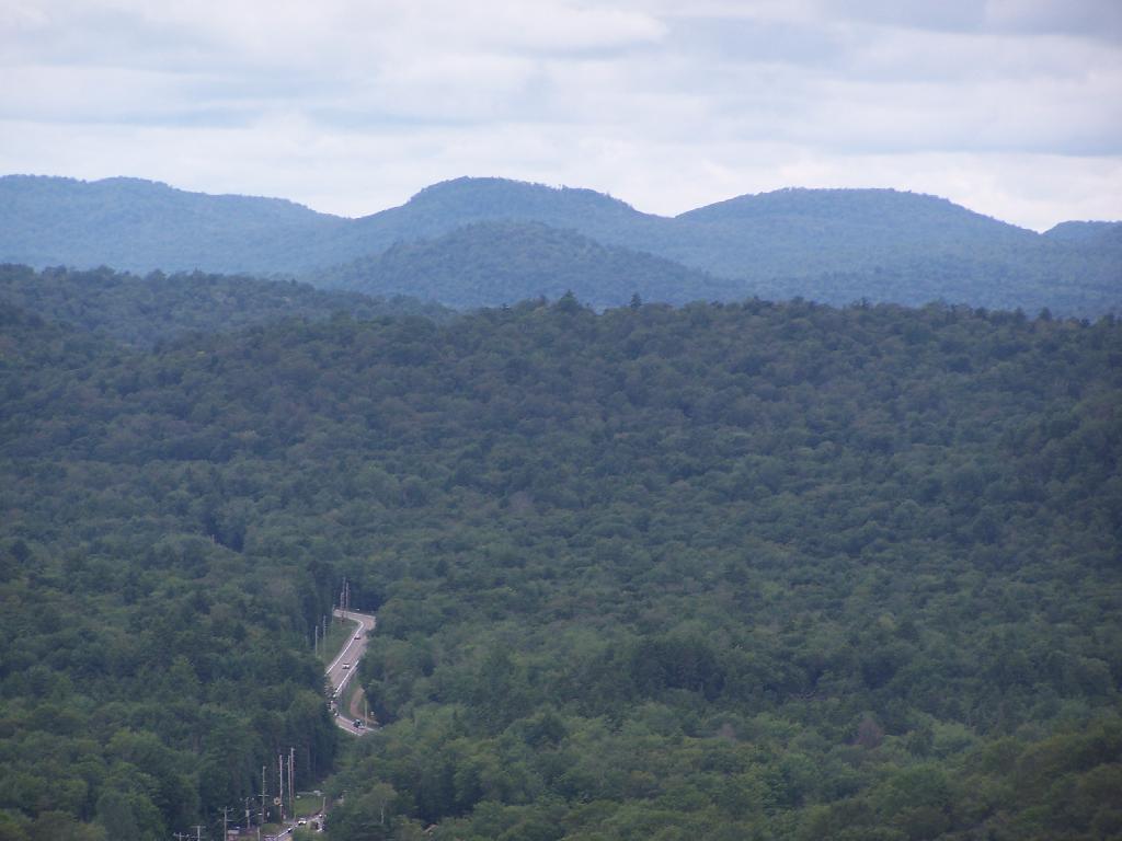
Sargent Ponds Area & Timberland. This portion north of NY 28 Corridor and Fulton Chain of Lakes is relatively flat, wild, and many portions privately owned as timberland.
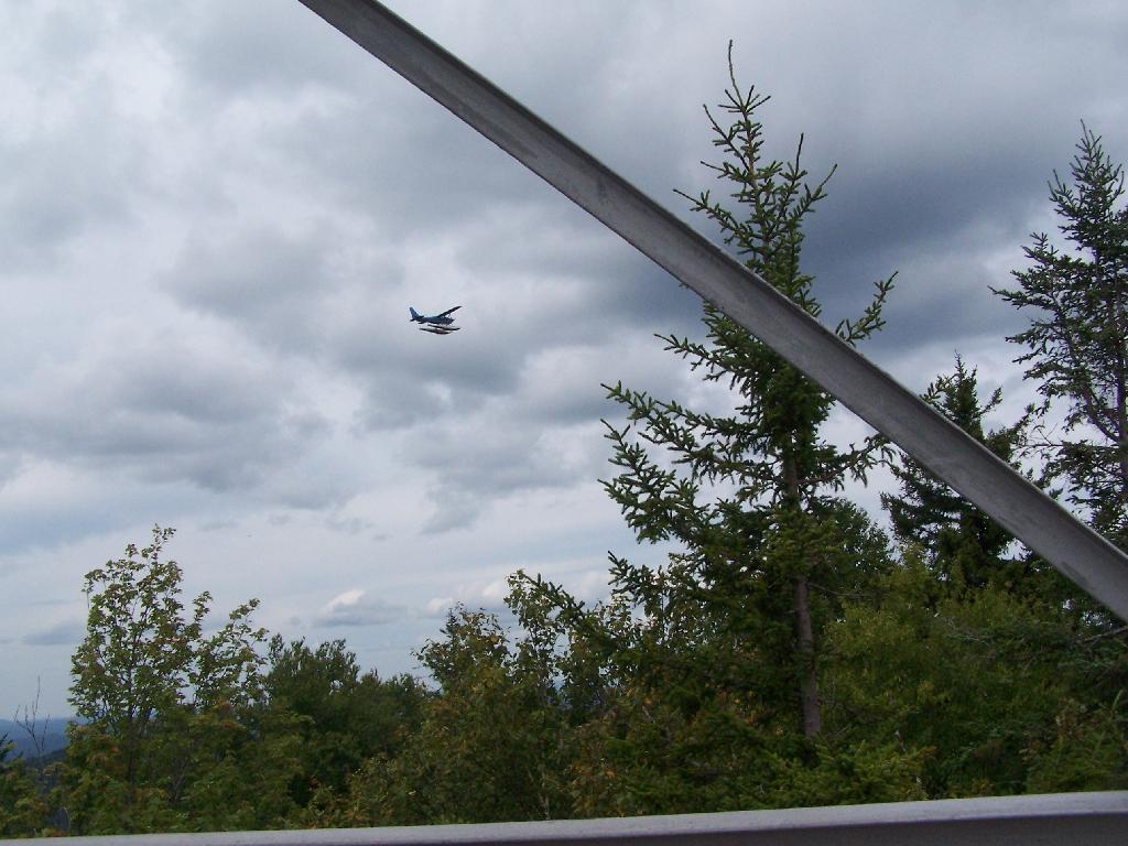
Float Plane. Owls Head is not the quietest mountain out there. Throughout the day, tourist float planes for hire, fly on and off Long Lake, just to north of mountain. They fly quiet low, as they are making the decent back to Long Lake.
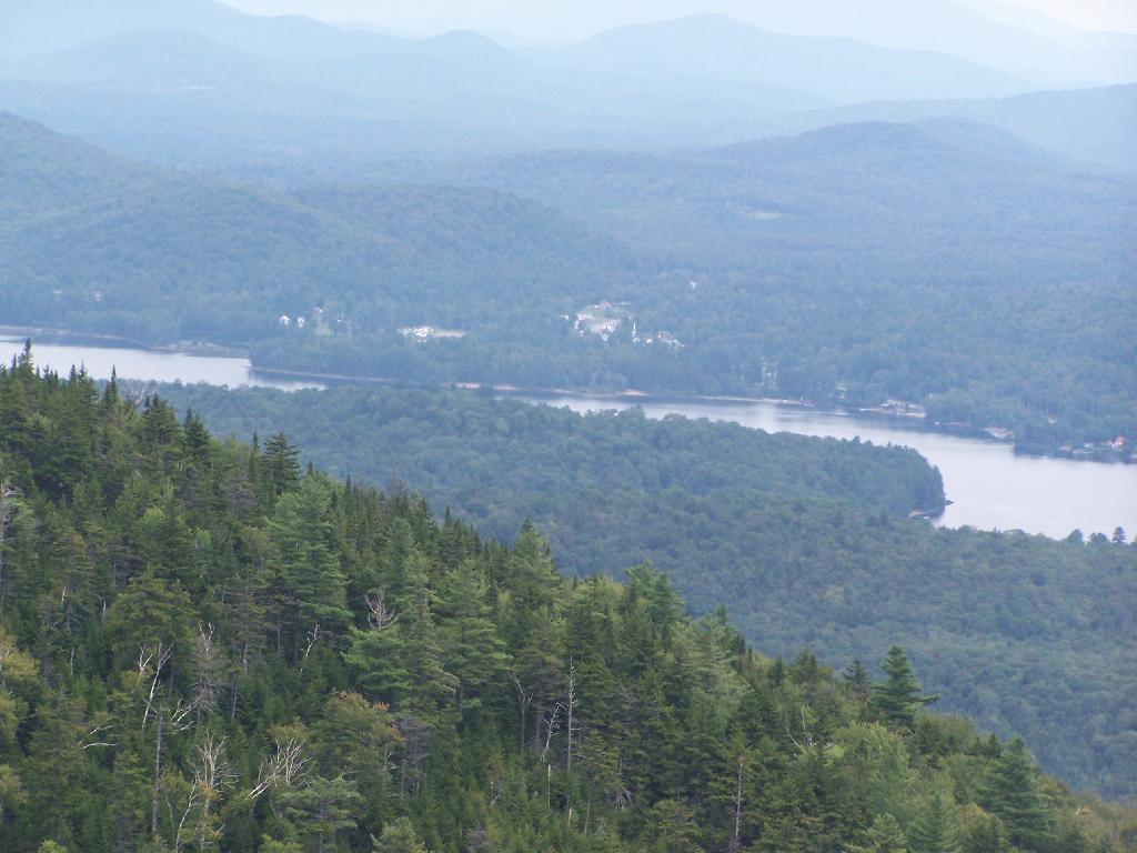
Long Lake Village. While hazy today, you can see village of Long Lake quite well from the tower. It’s always crazy there, and I try to avoid towns whenever I’m in the Adirondacks.
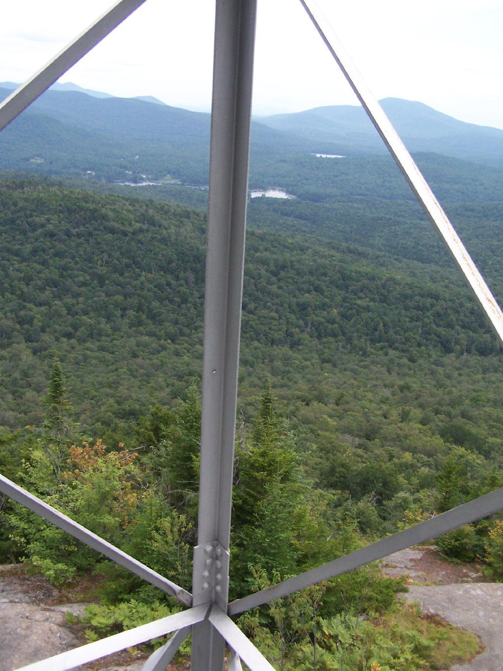
Fire Tower Corner. I always like pictures of the angles and construction of the fire tower. While common after climbing so many, fire towers have a lot of character in their structural steel.
Tower Cabin Closed. It’s unfortunate but the tower’s cabin on this tower is closed, as it’s used for communications equipment.
Sitting on Mountain. Just sitting back and looking south from the open rock face a top Owls Head.
Old Telephone Poll. Descending the trail off Owls Head, I saw several of the old telephone poles, heading up to the former Ranger’s cabin. Some have been cut down, and used to control run-off on the trail, but others still remain.
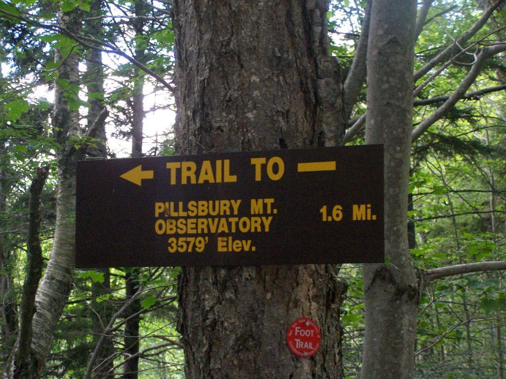
Pillsbury Mountain Firetower is located at the edge of the Jessup River Wild Forest and the West Canada Wilderness. To reach there, you have to drive North of Spectulator, and take about 6 miles of fairly smooth logging roads through International Paper’s Perkins Clearing Easement.
Hiking Bridge Across Miami River. Not that th Miami River really deserves to be called a river, but on the trail up the Pillsbury Mountain, its particularly small.
Taking the trail Up Pillsbury Mountain. It’s about two miles long, and not a difficult hike, although you do gain about 1200 in elevation.
About a 1/4 mile before reaching the tower, reach marshy and thick boreal forest that the trail passes through, with some re-routes to avoid the muck kicked up over the years.
Approaching Fire Tower.
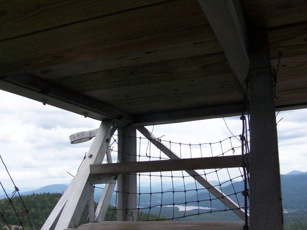
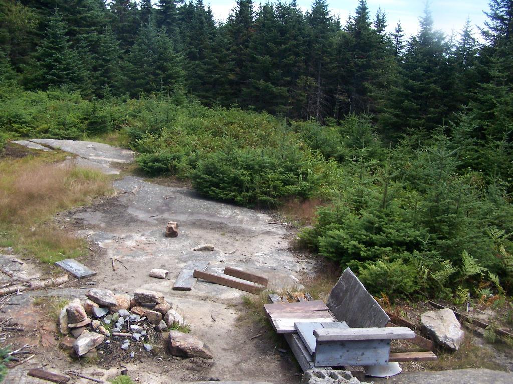
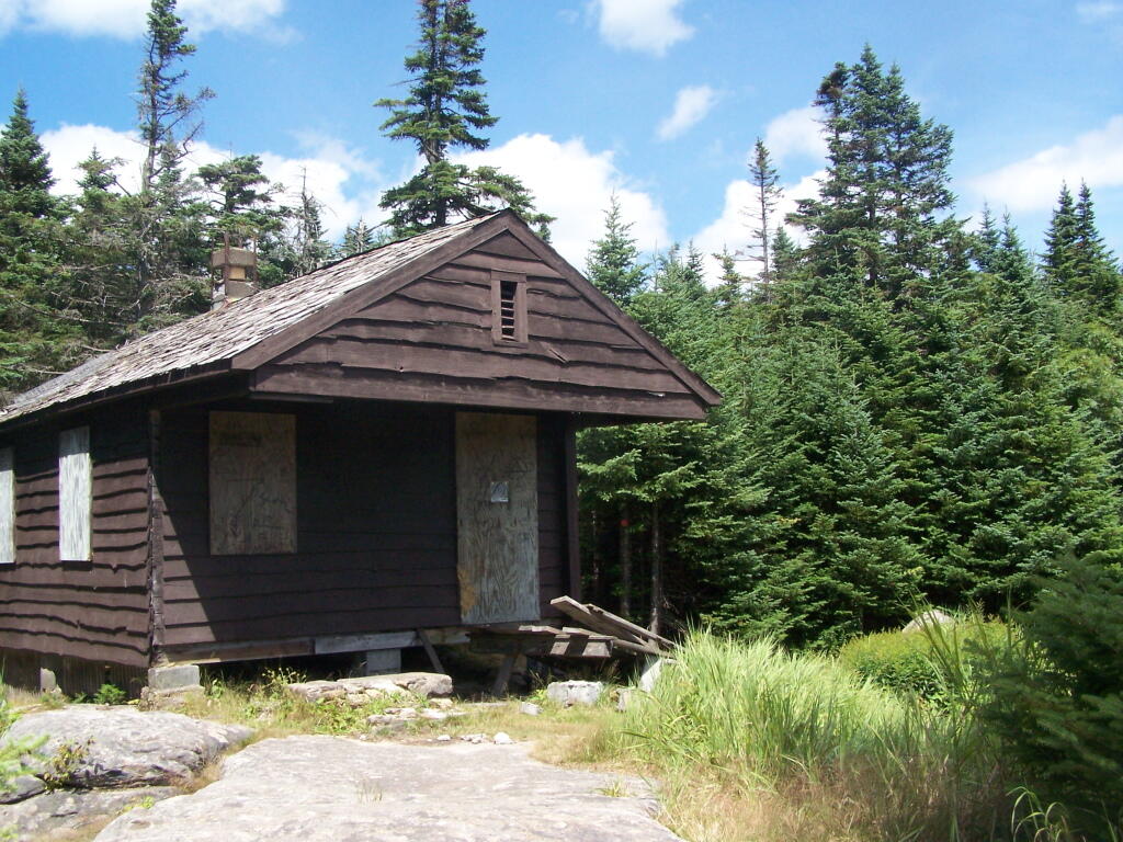
People Die Here. I kid you not, that’s what the cabin says when you first get here. Combined with the creepy fire tower top, it’s kind of neat.
Tower Cabin. That sure looks scary, doesn’t it? Now I understand why people die up here, probably with a secret DEC Forest Ranger, who hides up there, shooting at people he or she doesn’t like. Or maybe not.
The tower is pretty conventional with normal looking landings, a rangers cabin, and a clearing for a helicopter to land in an emergency.
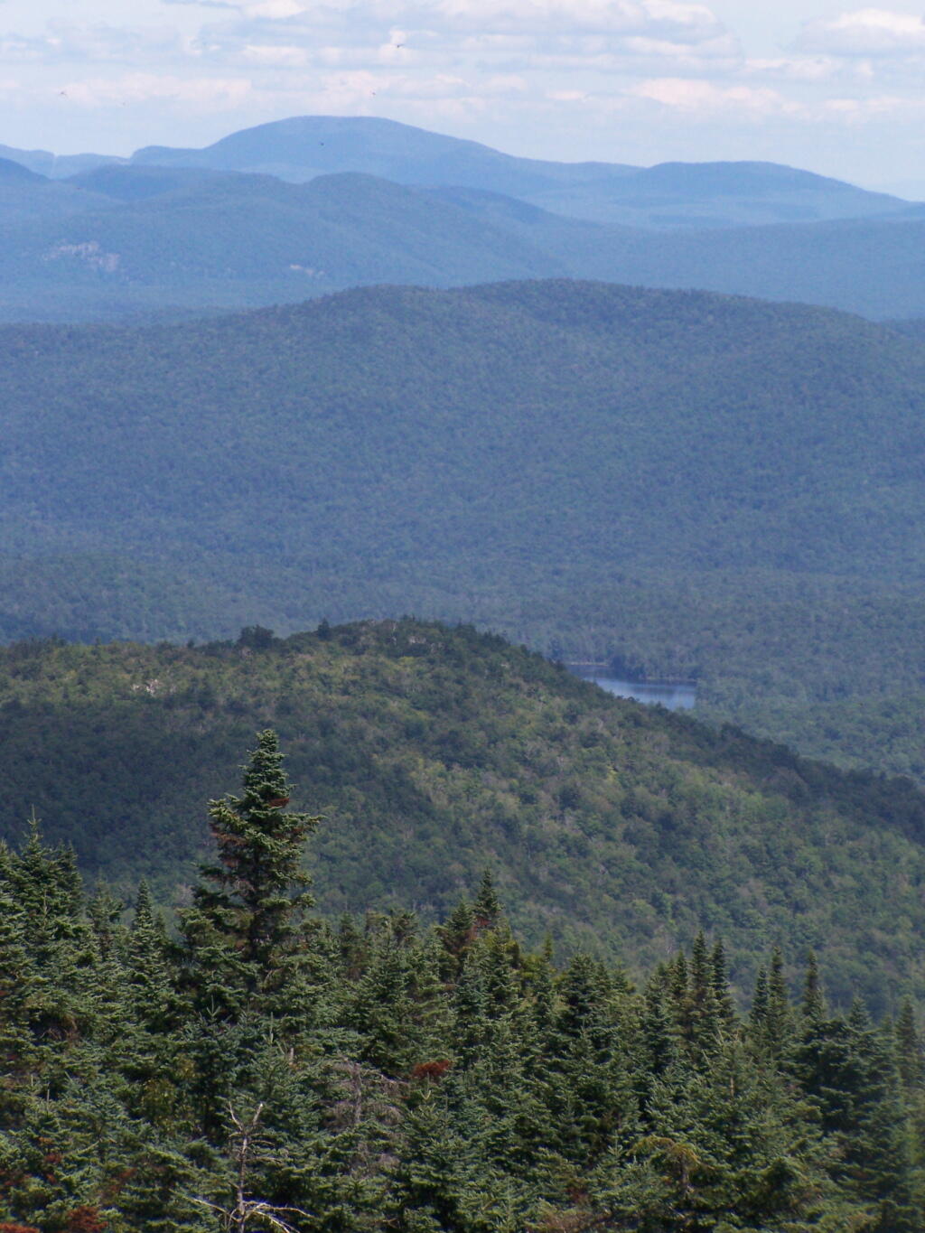
The views from the tower are quite great. Looking east thru the Jessup River Wild Forest.
Snowy Mountain to the North. If you look carefully, you can see the tower up top of it.
South towards Lake Pleasant and Spectulator.
Moose River Plans and West Canada Creek Wilderness from Pillsbury Mountain Fire Tower.
North towards Cedar River Flow and Wakely Mountain. If you look carefully, you should be able to see the Wakely Mountain Firetower from here.
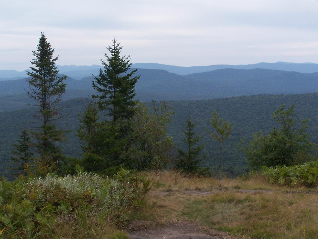
Near Inlet, NY there is a small ledge above Sixth Lake, that is a popular short hike with views of Sixth Lake and surrounding lands. The views aren’t as good as Rondaxe/Bald Mountain, but still are an interesting, half hour hike.
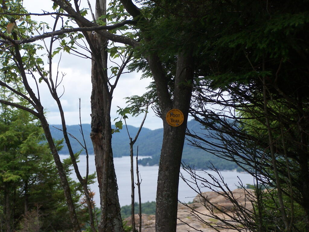
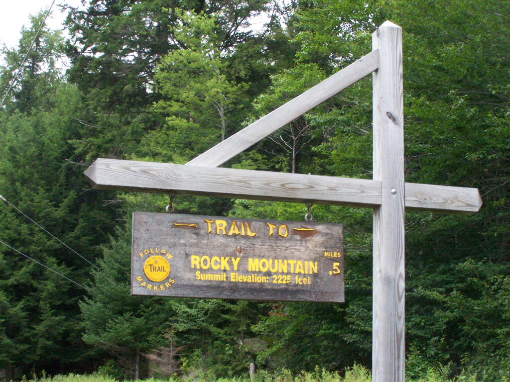
Rocky Mountain Trailhead Sign. Which is great they tell us the elevation of the mountain, but what is the elevation of the parking area? While I know the hike is only an ascent of 400 feet, why couldn’t they just tell us that fact? Silly DEC!
The Rocky Mountain Trail while short, is fairly steep, with a few places being almost a scramble.
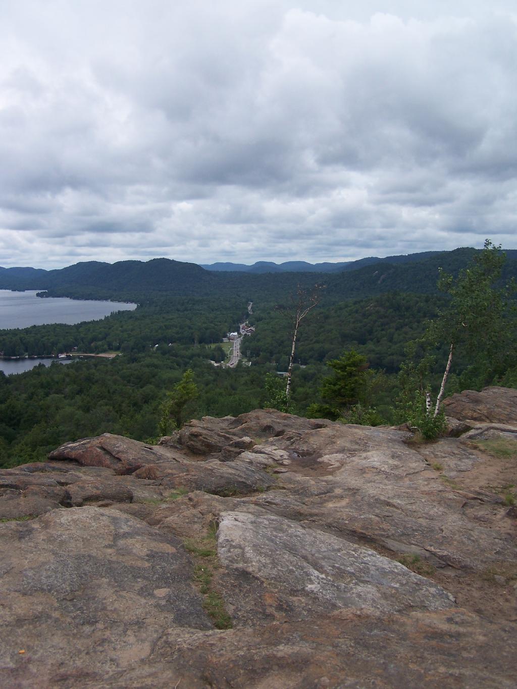
The views off Rocky Mountain are somewhat interesting, but not spectacular as those from Rondaxe just a little ways down the road. Forth Lake is the closest lake, and the one you get the best view from her.
You have many good views of NY 28, such as this one widing down southernly toward Eagle Bay.
A top Rocky, you can see how this mountain got it’s name.
The ridges in this part of the Adirondacks, remind me a little bit farther south around Good Luck Cliffs and NY 10.