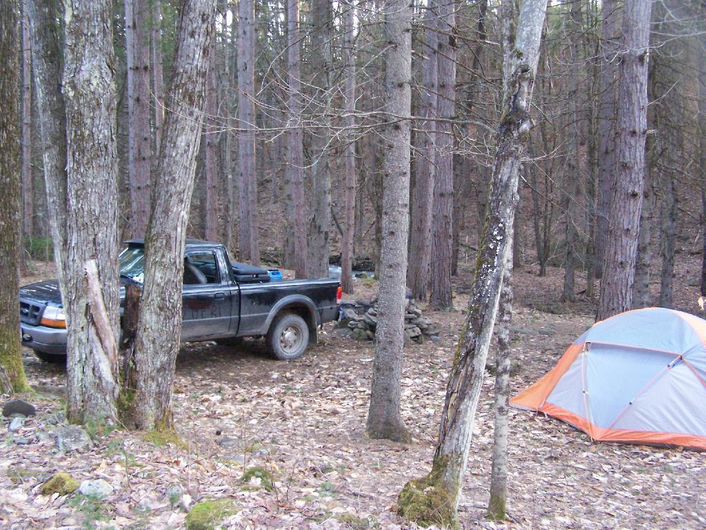
I’ve camped up at Burnt-Rossman State Forest a couple of dozen times. It’s one of my favorite places to go out truck camping, with it’s remote and quiet nature, and while I had known from maps that there was a lean-to up there, that one could hike to, I had never actually visited it. I had spent the previous night tent camping, and being up early, decided to check out the lean-to.
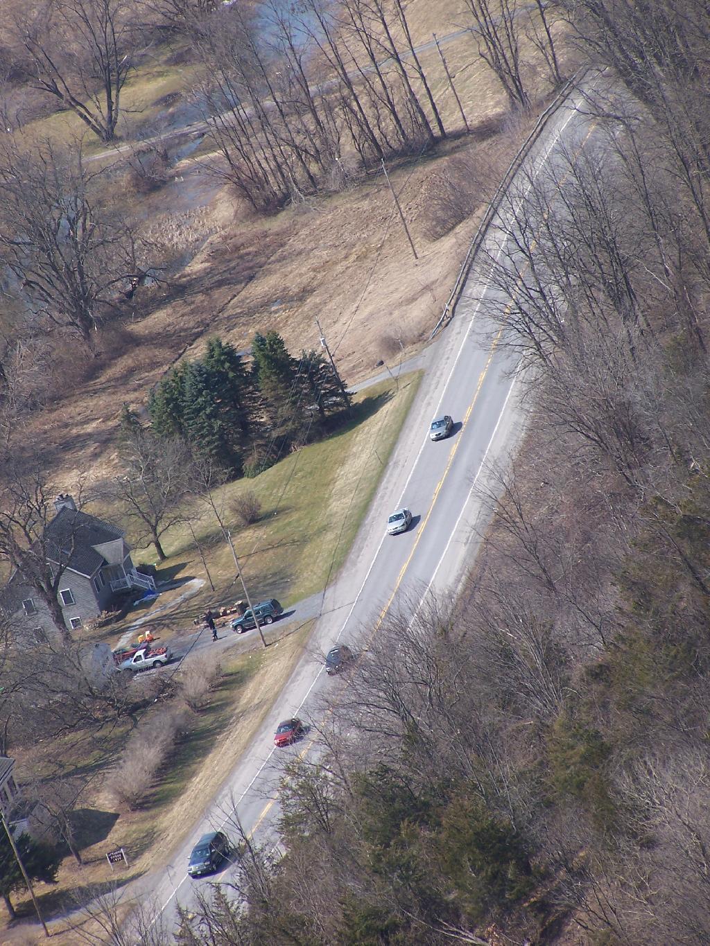
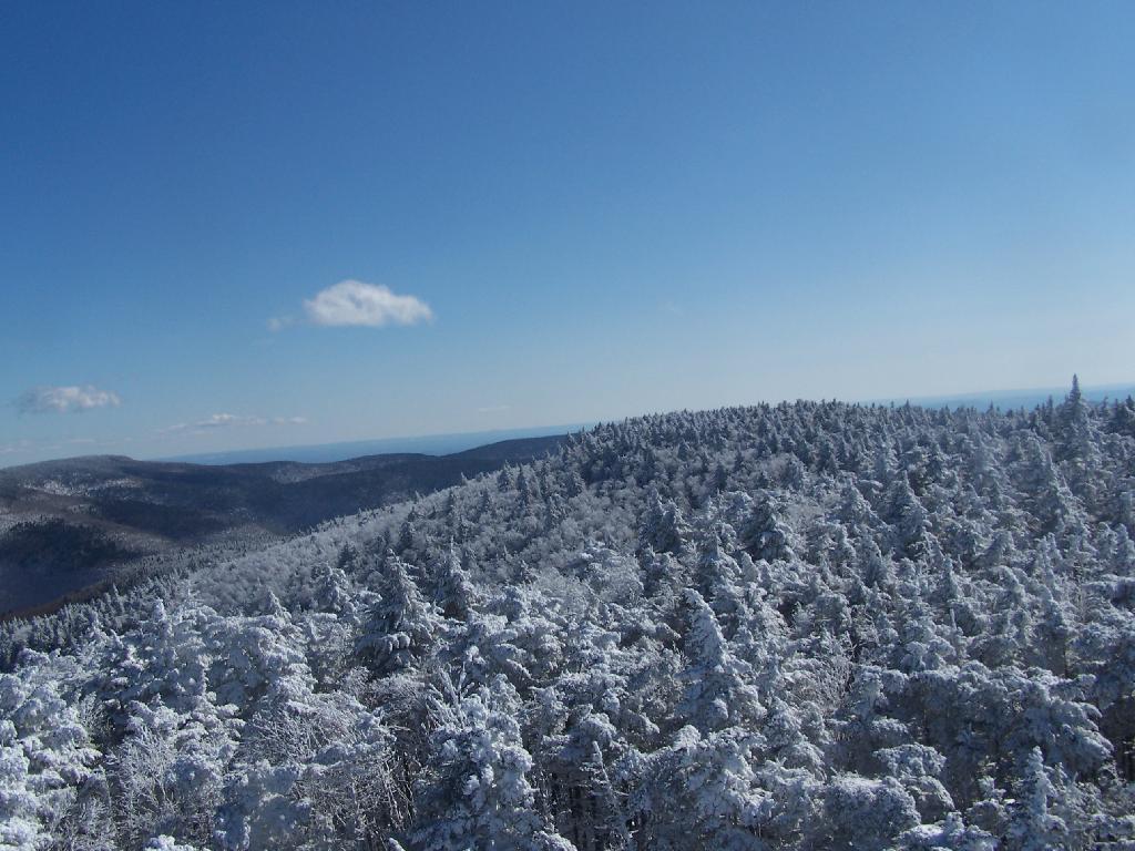
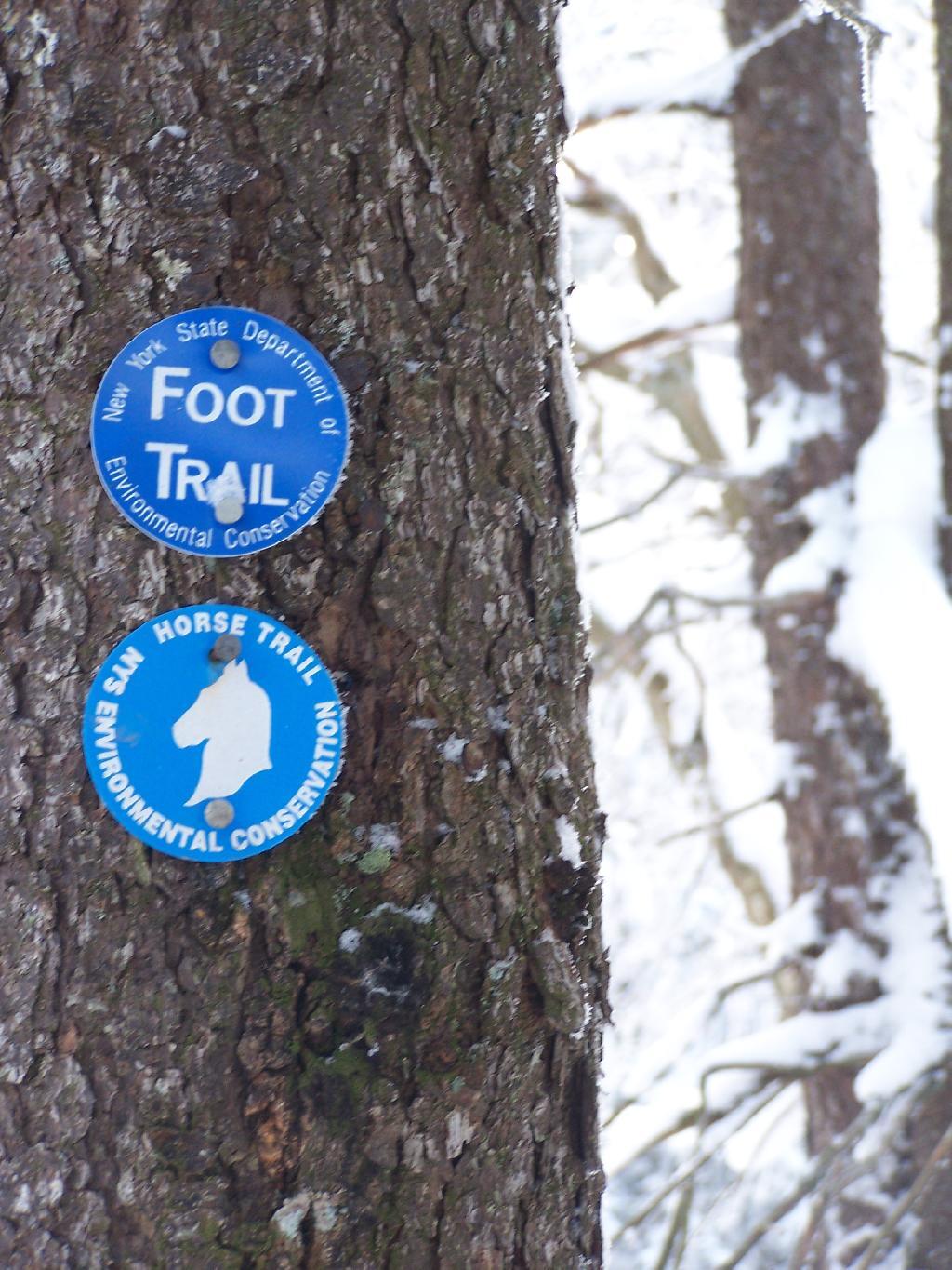
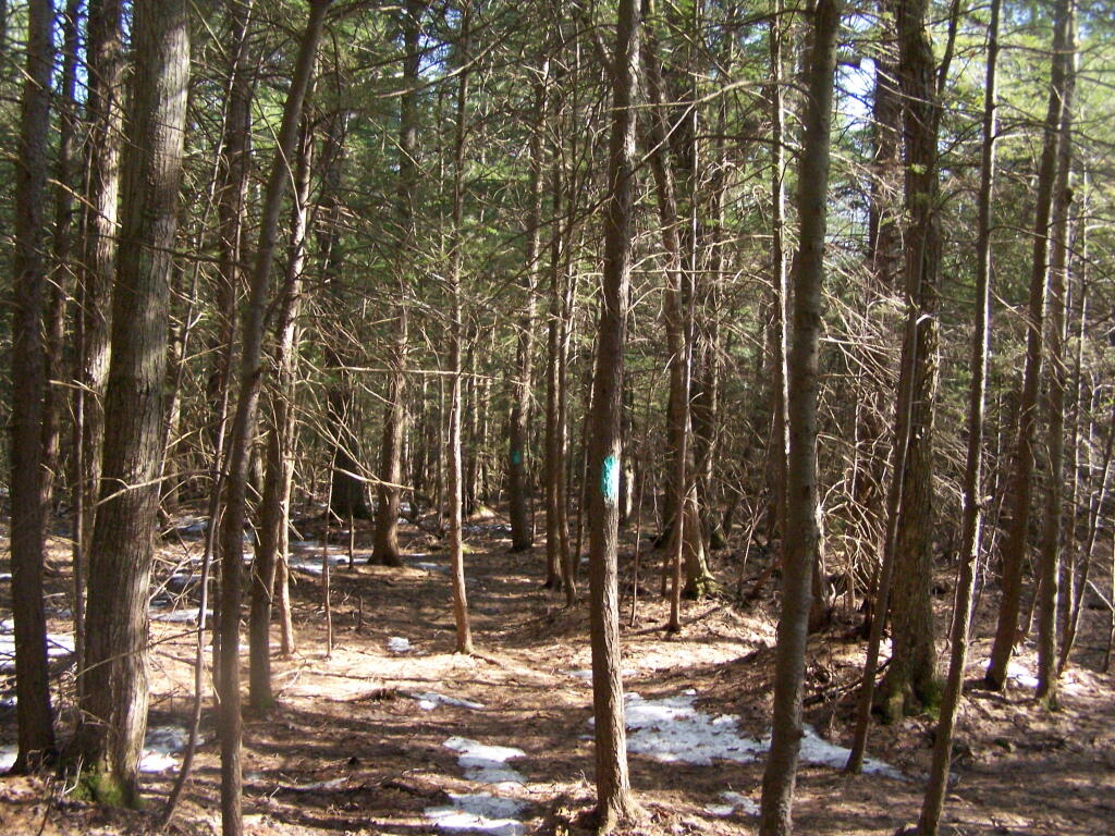
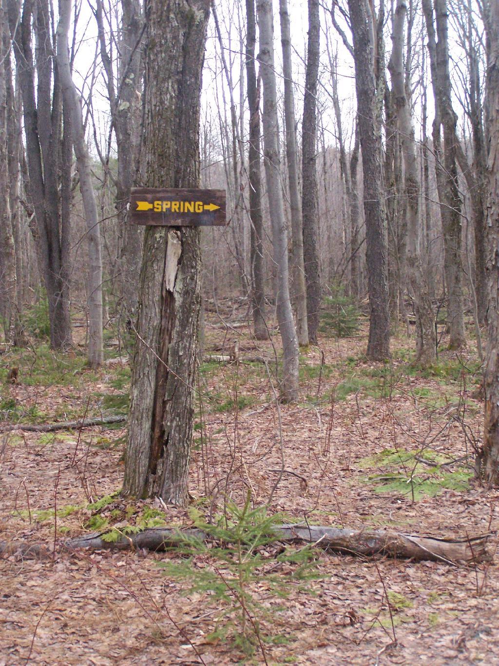
The lean-to is located on the section of the Long Path that crosses Morey Road, just south of Rossman Hill Road, right next to the old cemetary. Alternatively, you can access the lean-to from Burnt Hill Road, just up the hill from where Duck Pond Road splits off. The lean-to is located about a 1/2 mile from either road. Regardless of which way you choose to go, it’s a nice level hike through marshes and old timber stands.
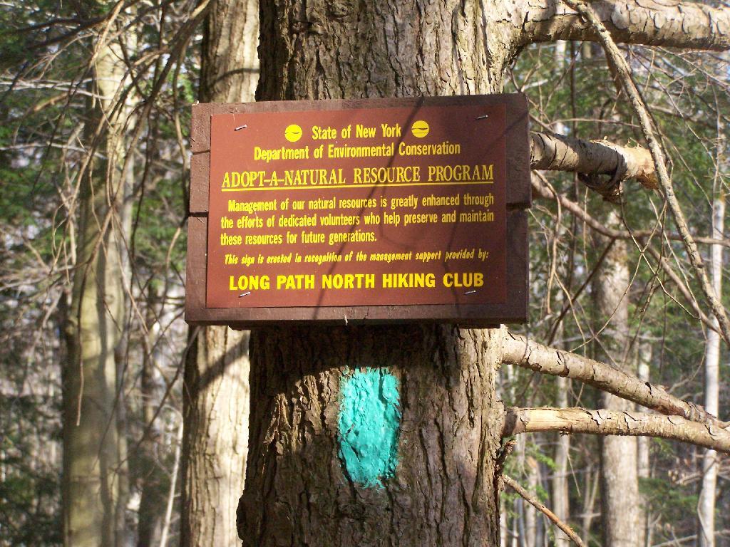
And old woods roads…
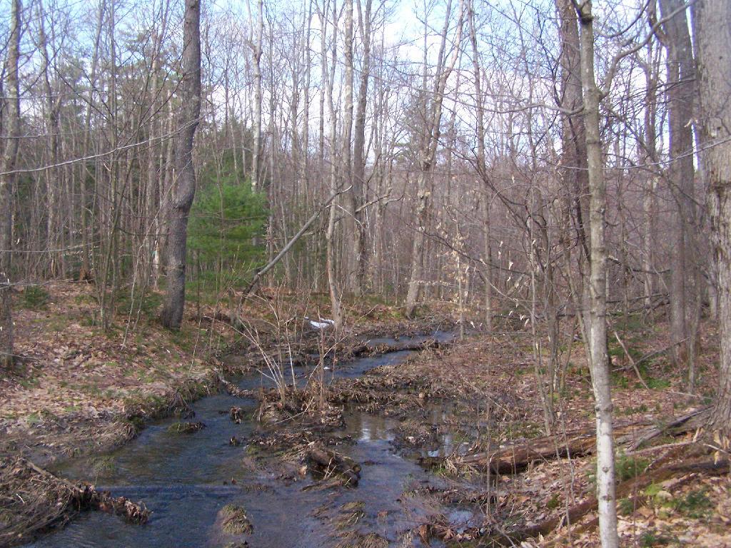
As you past by the headwaters of the Cole Brook, which ultimately helps feed the Schoharie Creek.
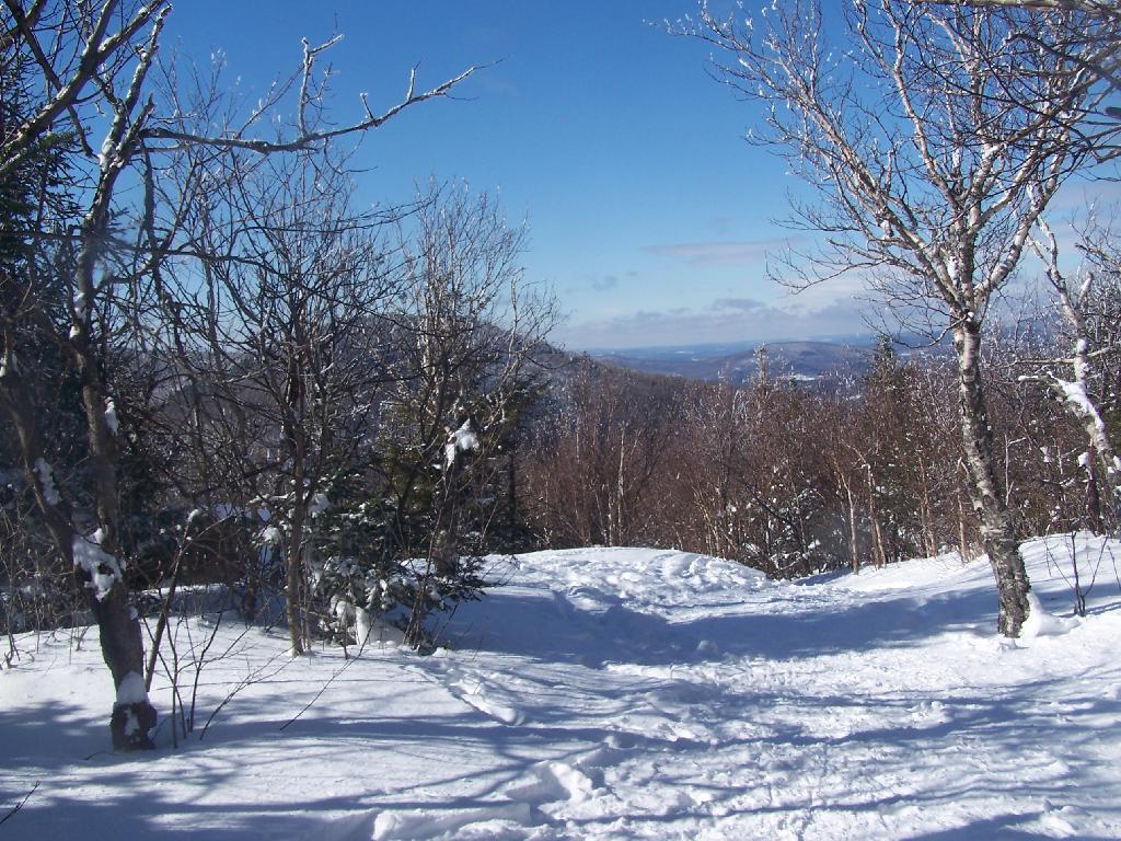
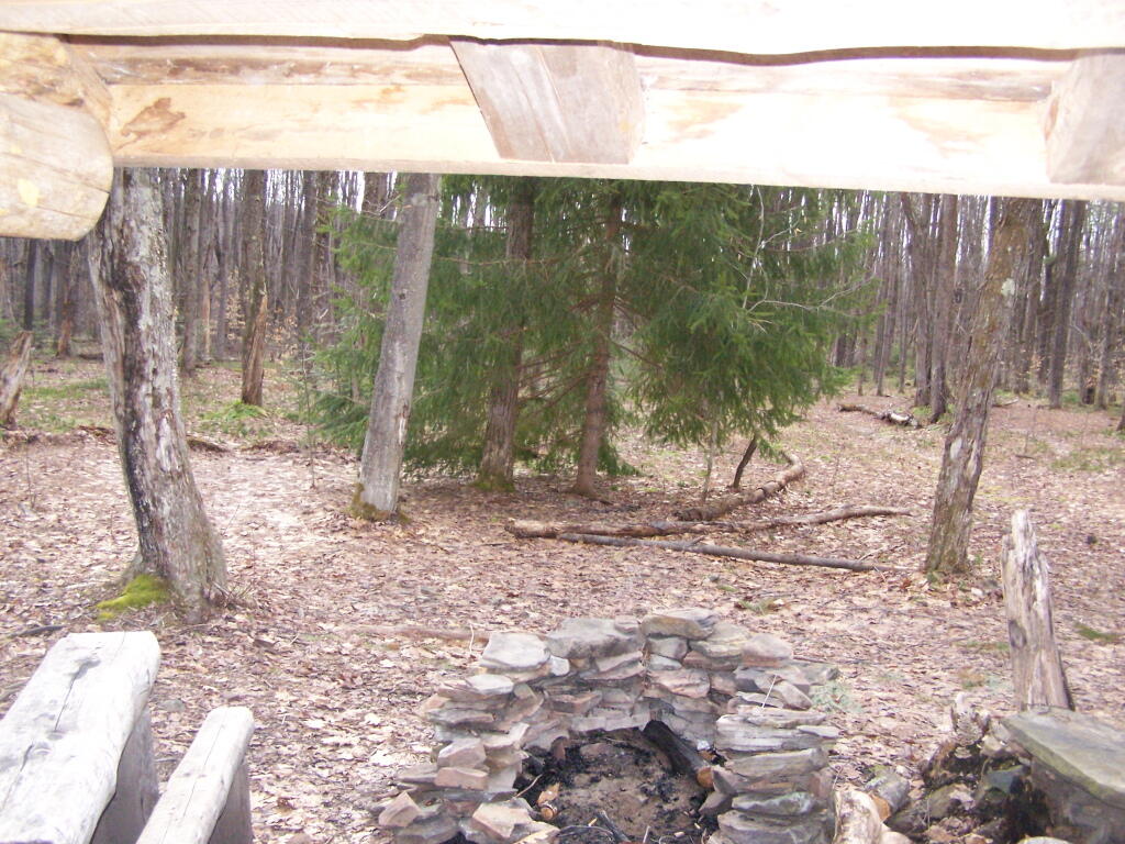
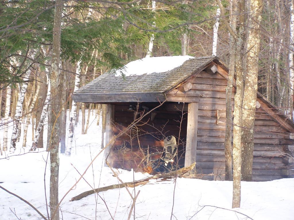
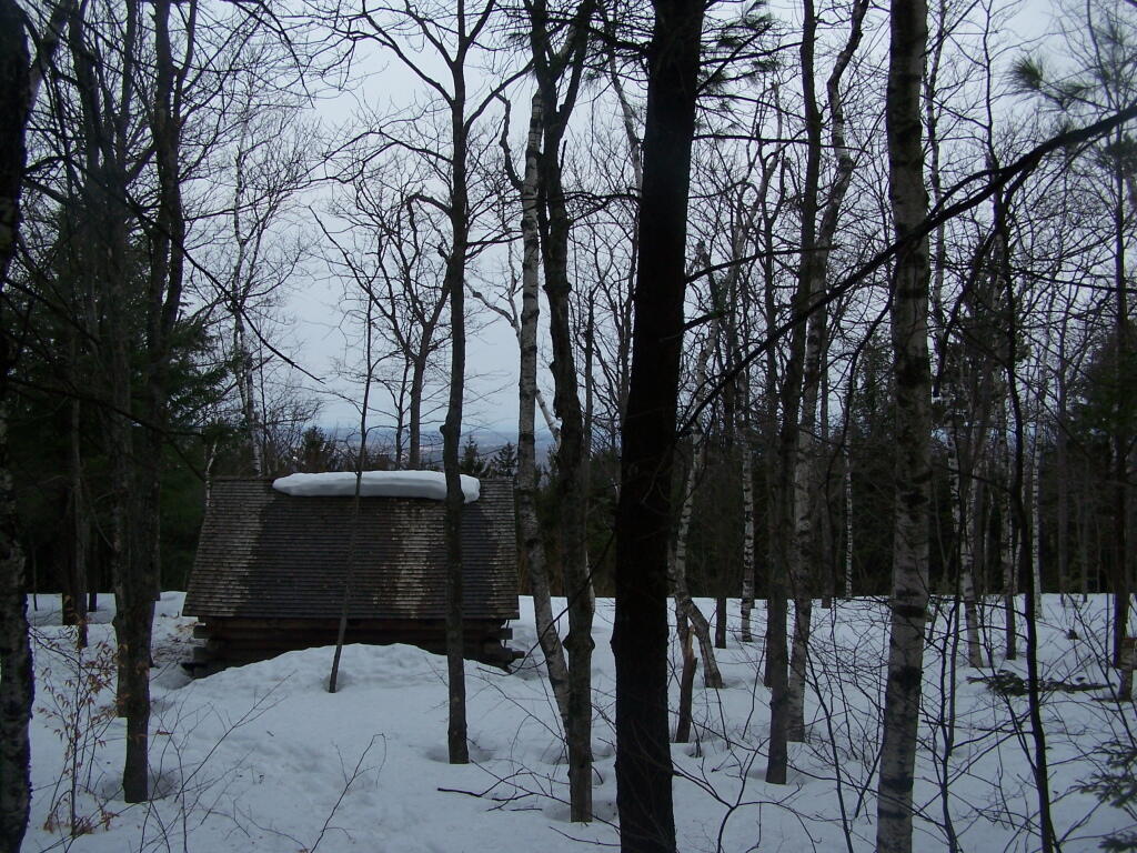
And the lean-to is really nice looking and only used occassionally, mostly by the locals.
And it’s nearby a spring, or at least a marshy area that never gets wet.
It’s definately some place I would like to stay some day.
Two weekends ago I was planning to go hiking up Huntersfield Mountain, but when the trail conditions and time remaining wouldn’t cooperate, I decided to head over to Mount Utsayathana in Stamford.
I fully expected to have to hike up the mountain because the steep and narrow truck trail would be unplowed, very muddy, and possibility icy. With the truck trail hanging right along the shoulder of the mountain without guard rail, you don’t want to fool around.
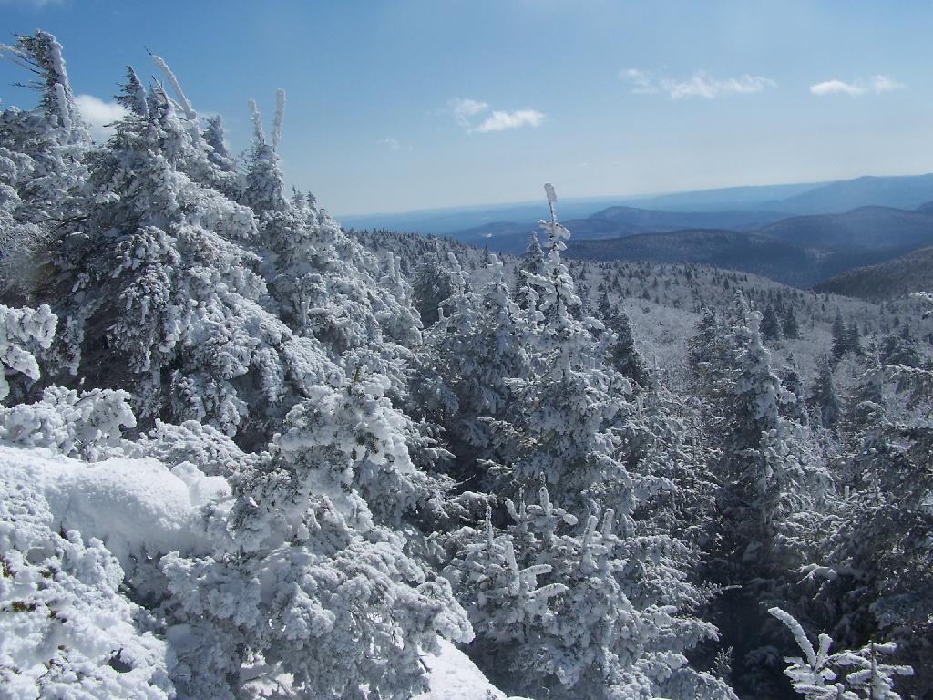
Quite to my surprise, it was only a little muddy up top, but the rest of the trail was dry. The top of the mountain had some snow drifts, but it had been plowed throughout the winter.
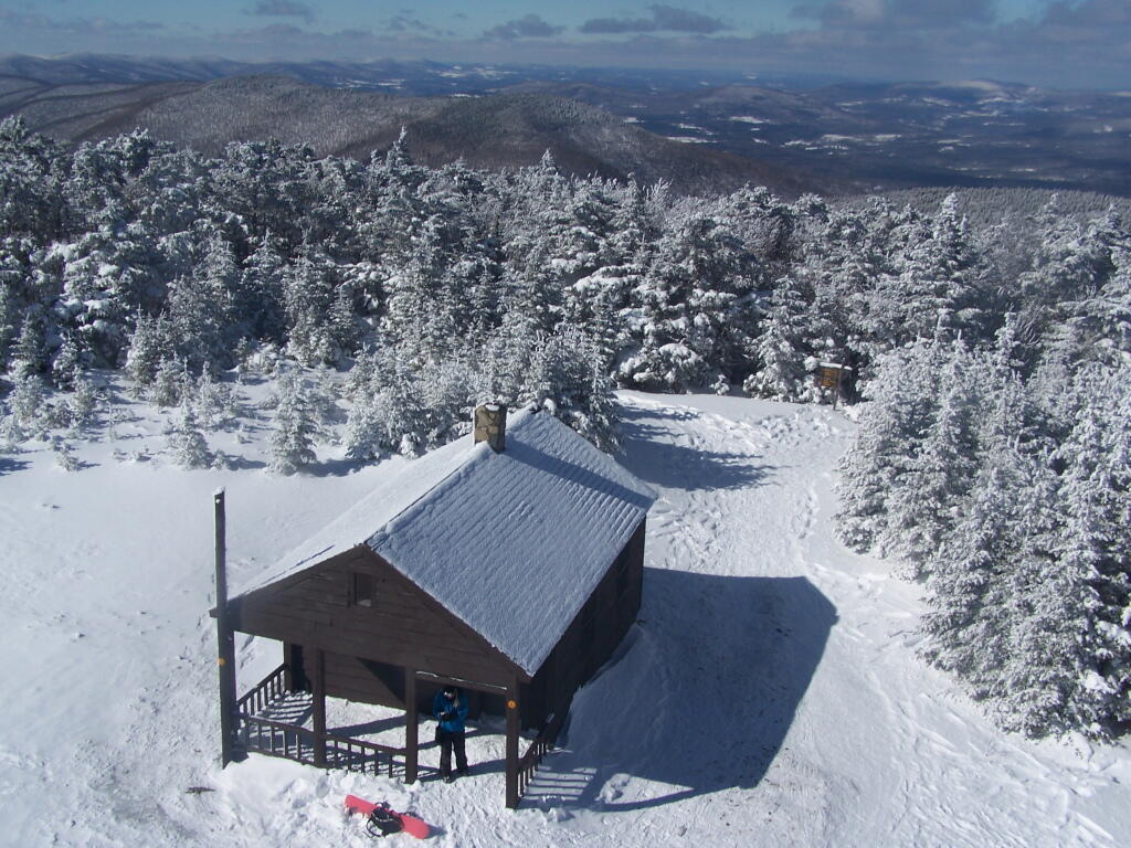
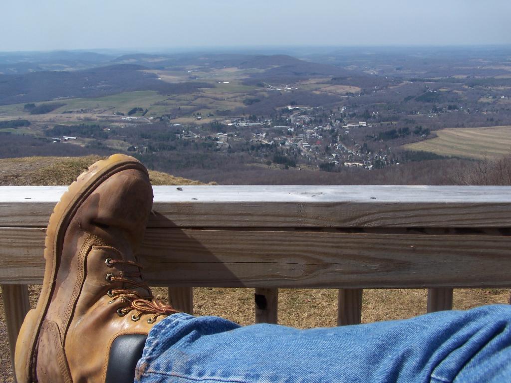
It was a beautiful early spring day out there, looking down at Stamford from the porch of the Utsayathana Mountain House. Things are starting to green up down there, and signs of spring are in the air.
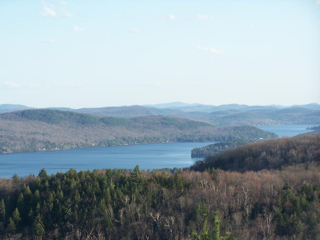
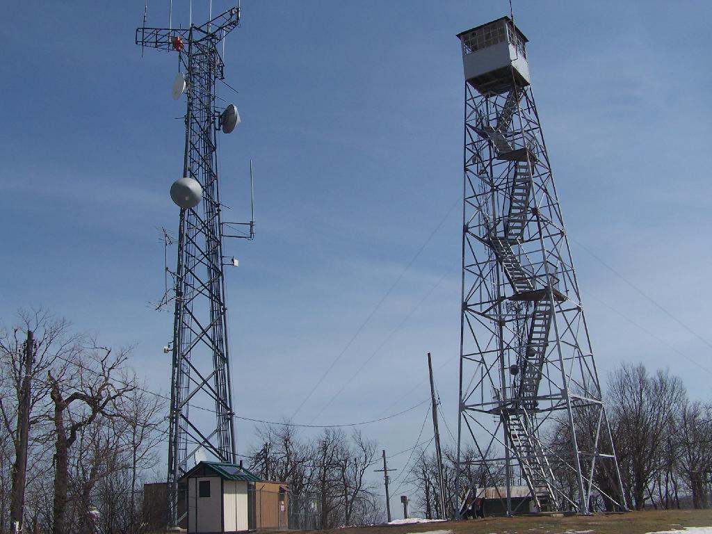
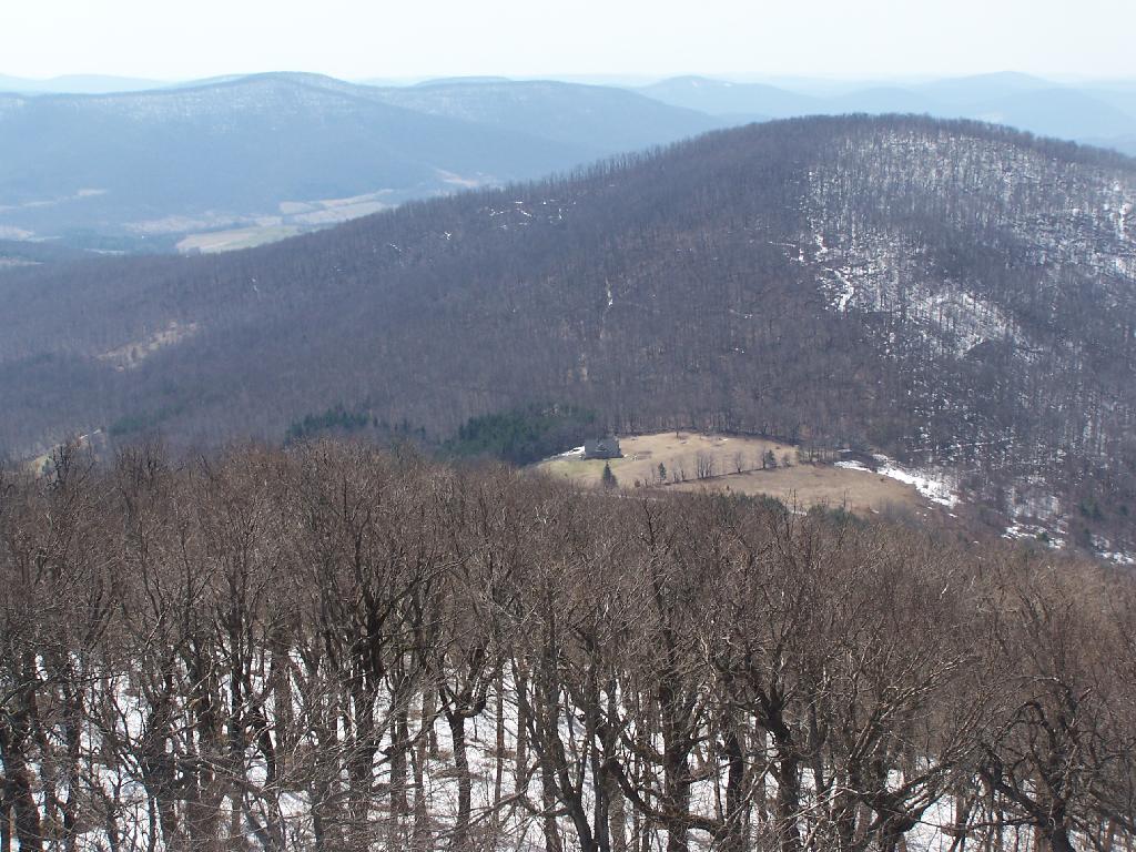
Walked over to the fire tower, and climbed on up.
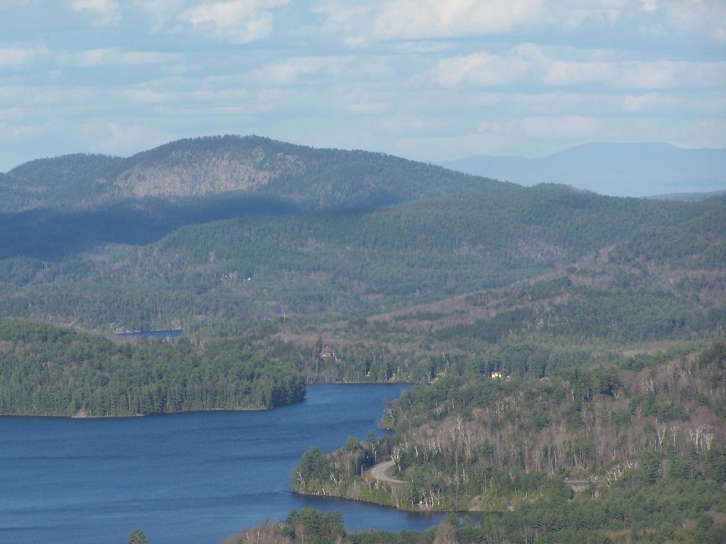
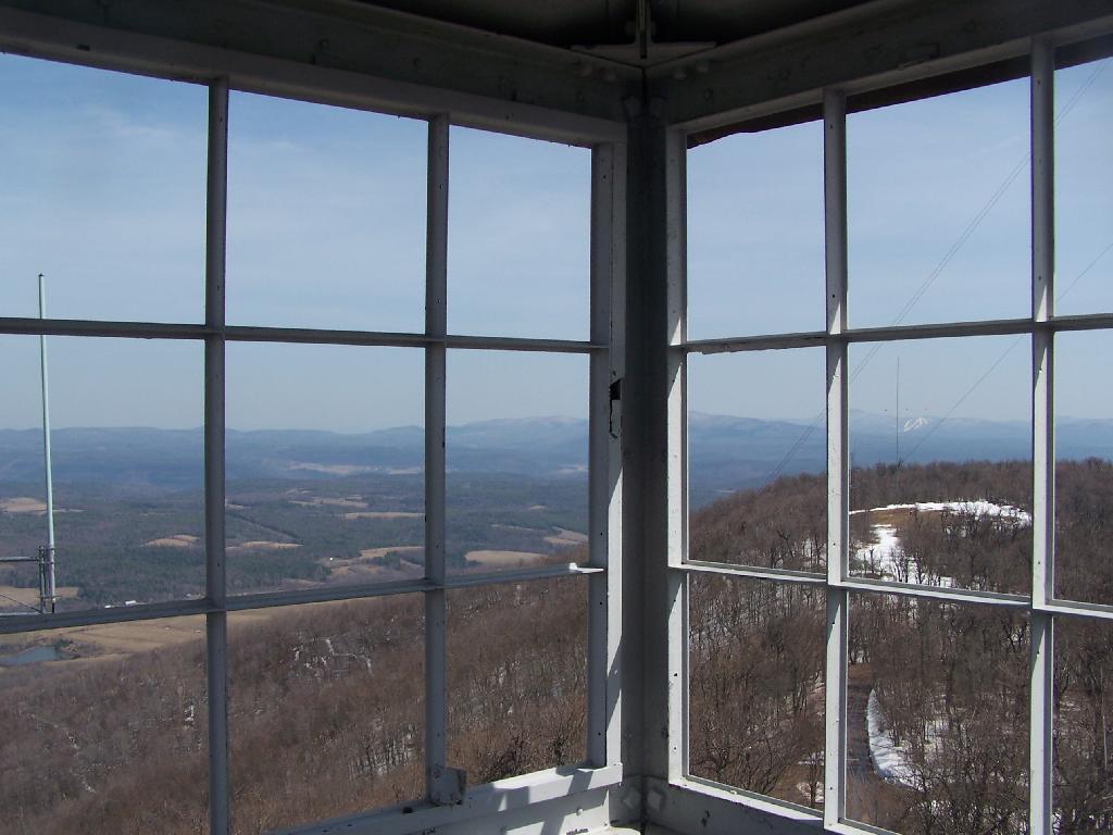
View out of the Firetower windows.
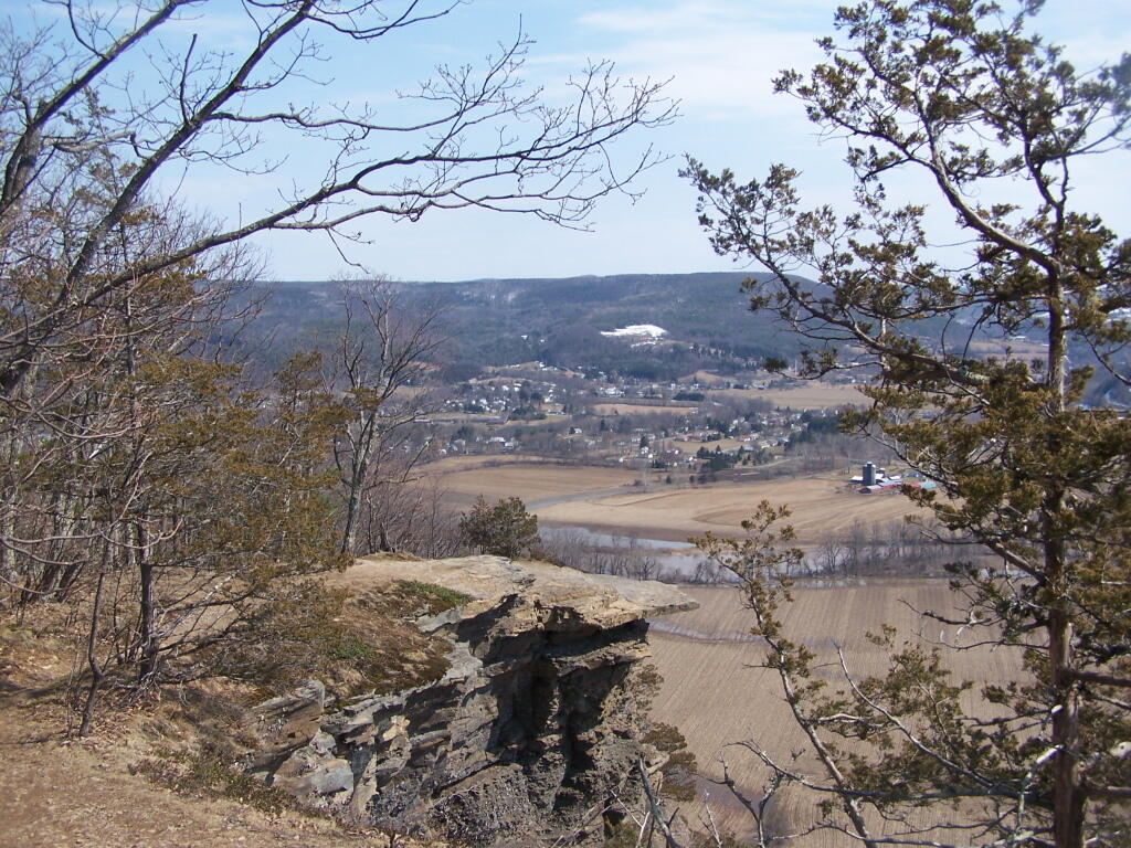
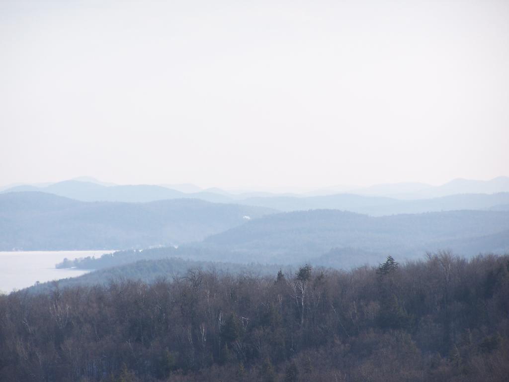
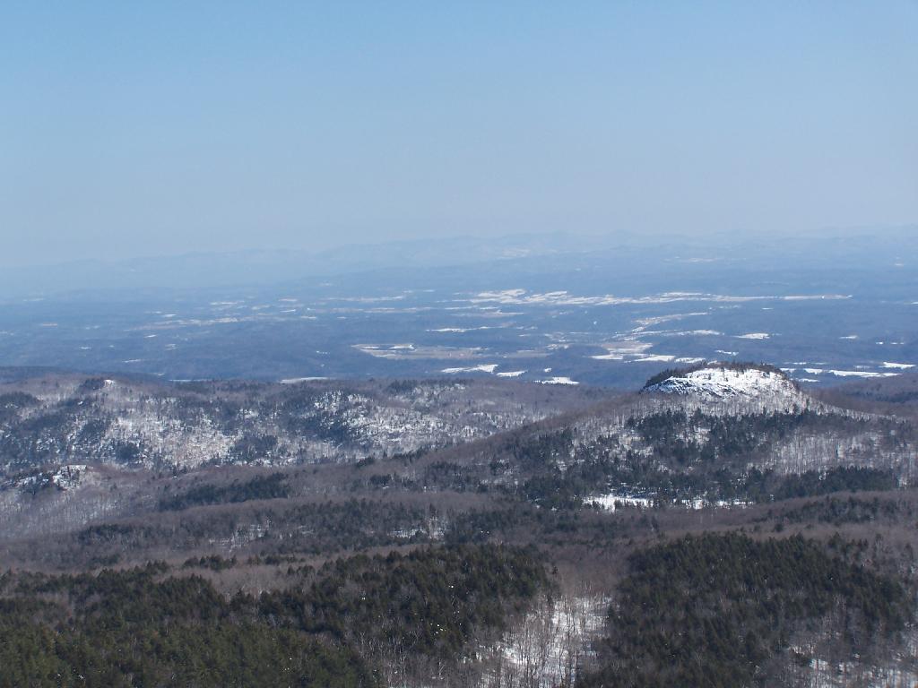
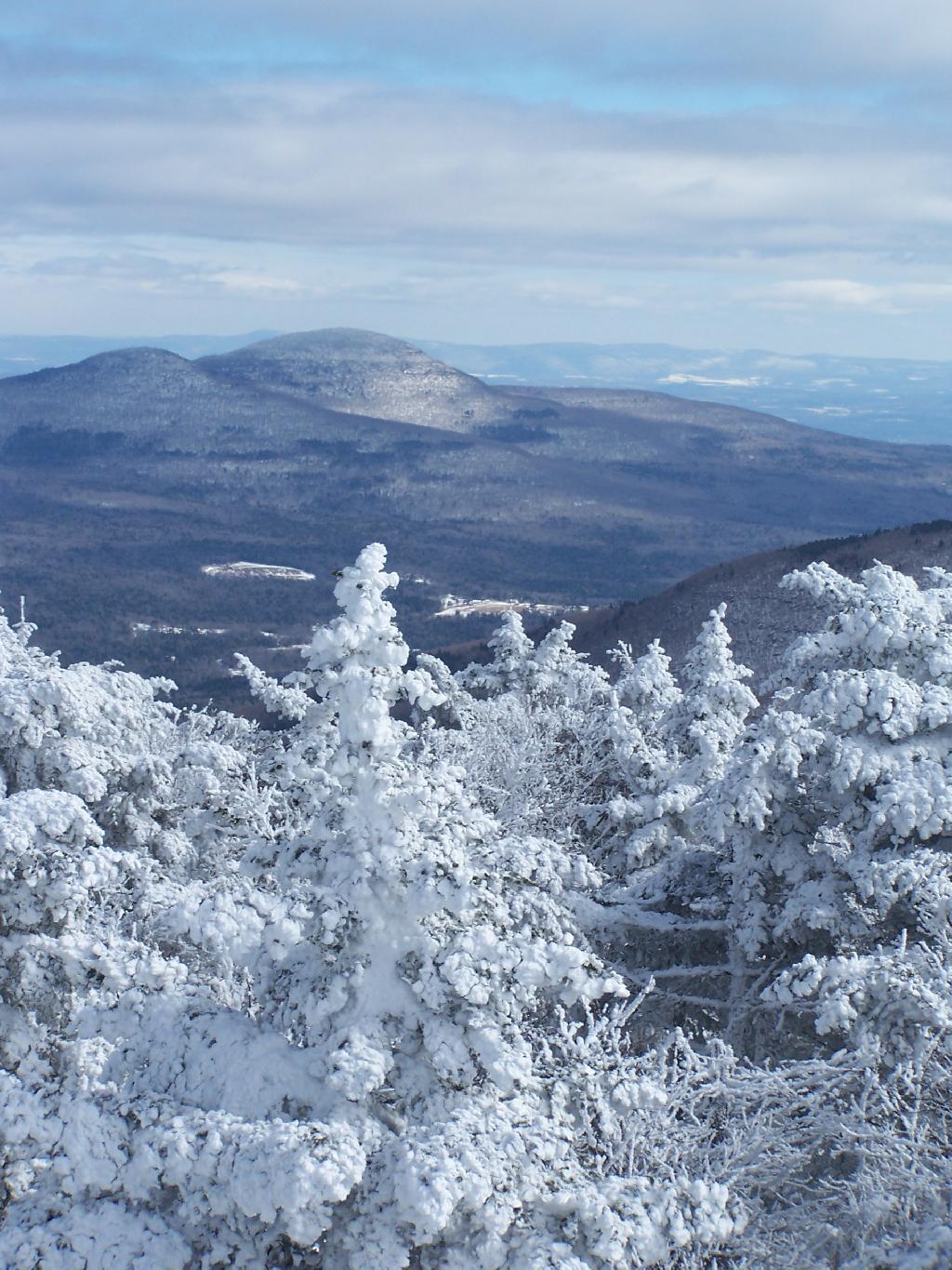
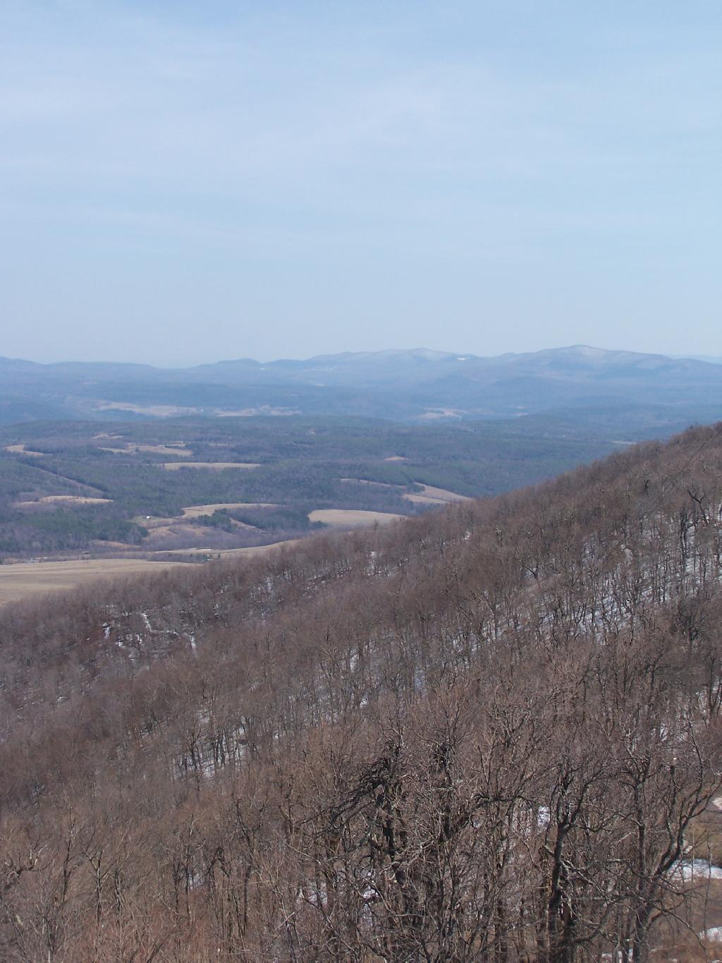
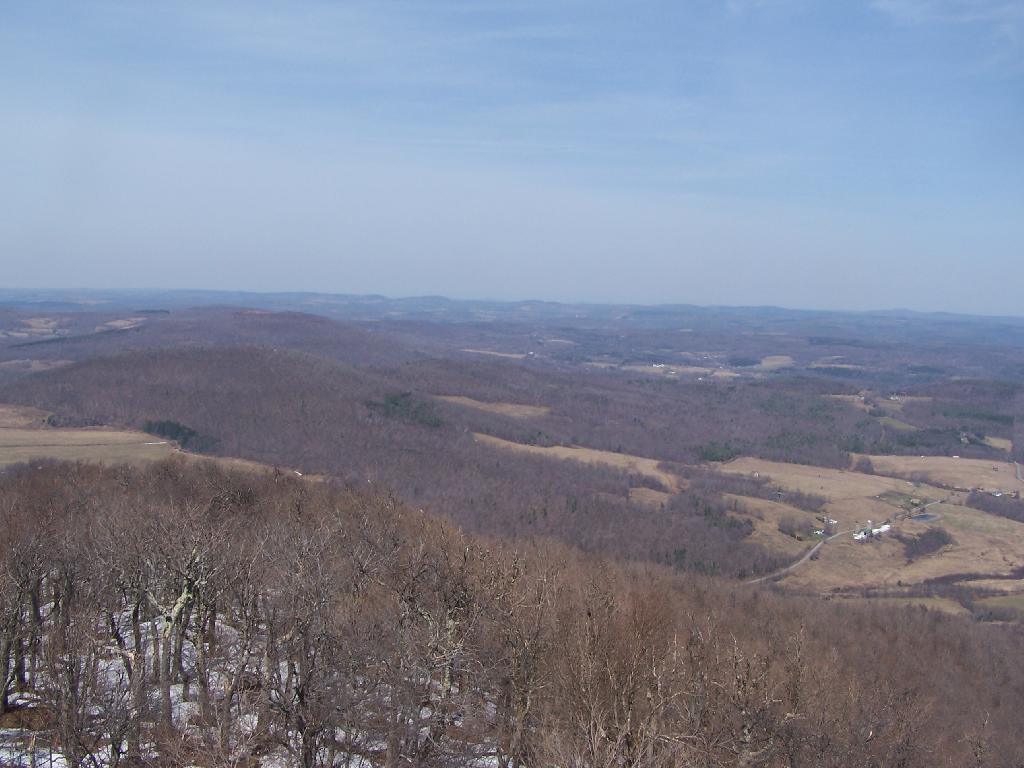
Looking East towards Huntersfield Mountain and the low lands towards Grand George.
And the western mountains of the Catskills, and the deep agricultural valleys within in them.
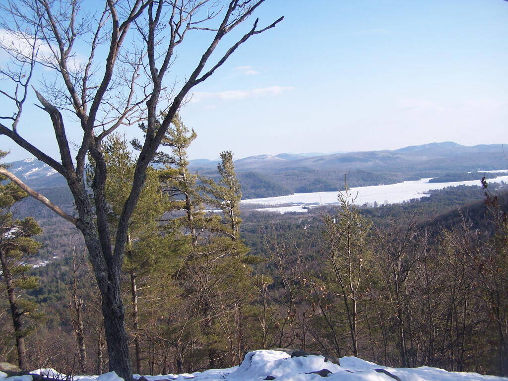
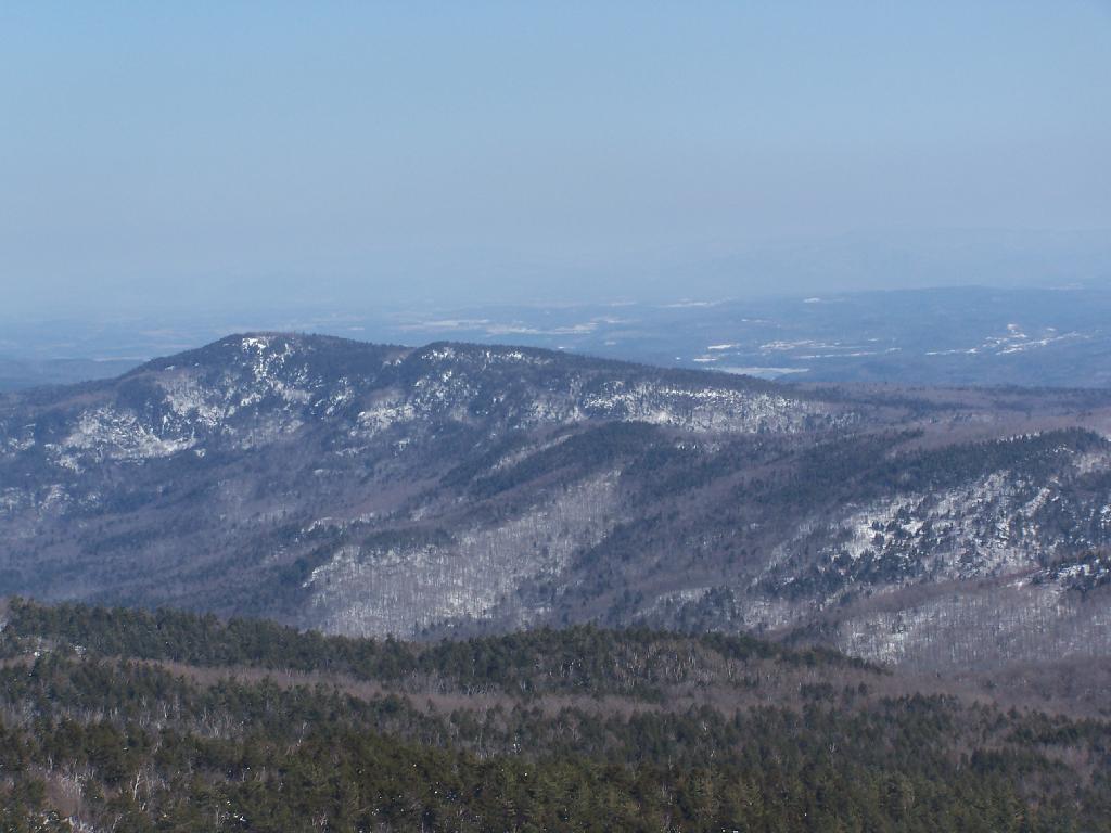
Towards the North the ridge continues on a little ways to Bald Mountain, then you get into the standard ridged landscape that covers most of Upstate New York.
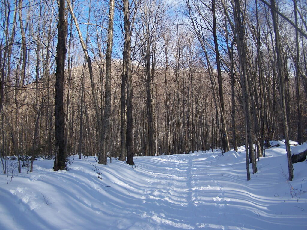
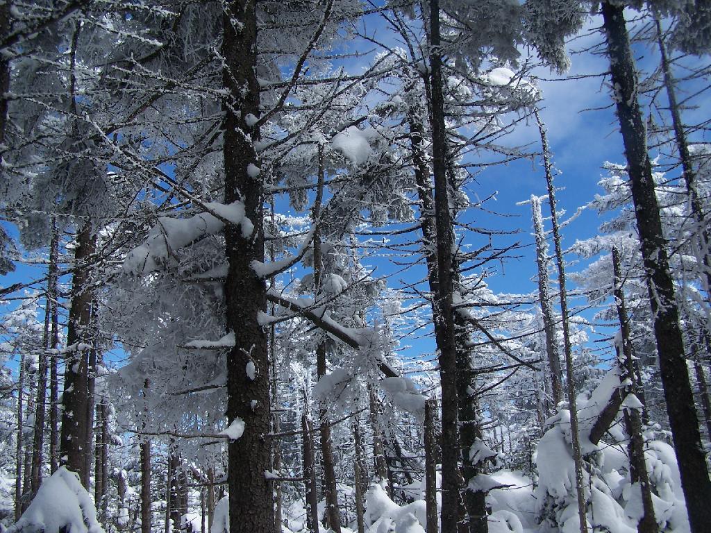
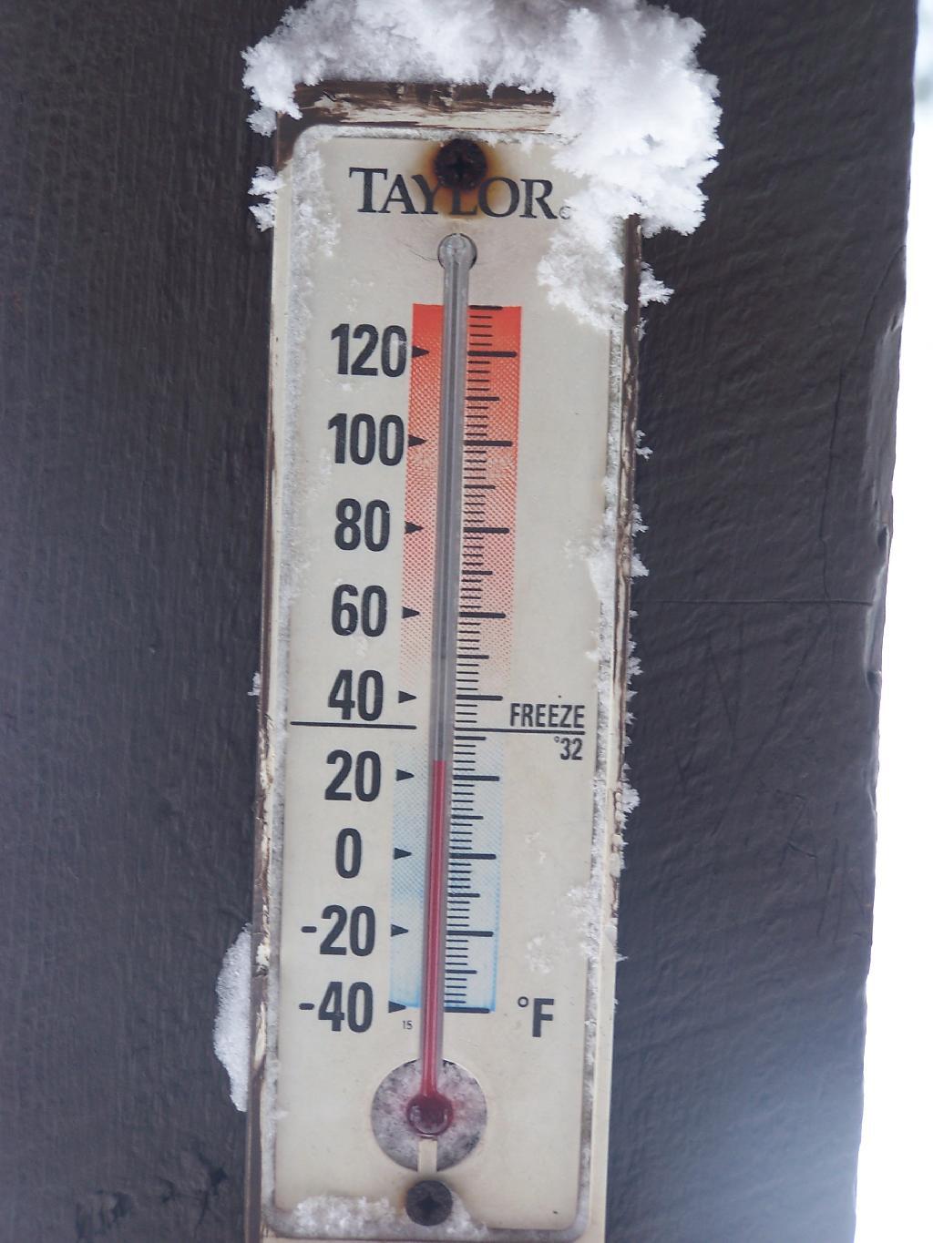
For the first day of spring it was around 65 degrees and sunny. The forecast promised only to get down into the upper 50s. The snow was gone in Albany, but in the mountains there was several feet. A top Cotton Hill, there was about two feet of snow.
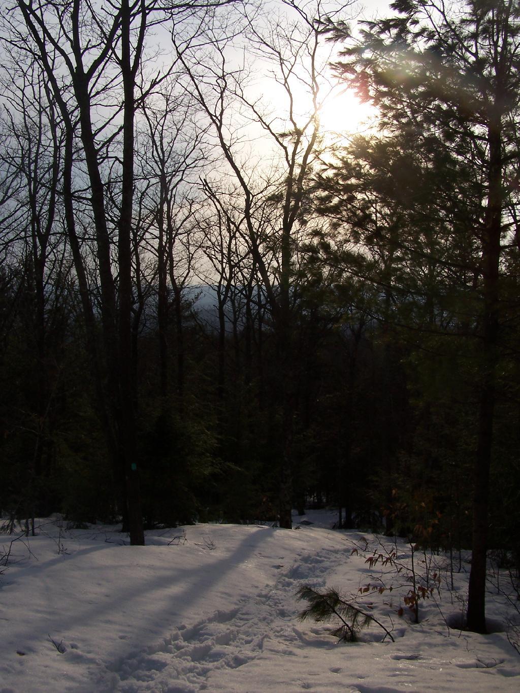
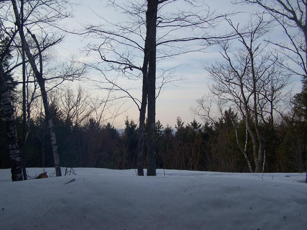
Amazingly enough when I got up there, I was the only person who had been up to the lean-to since the last snow storm, probably two weeks ago now. It was very quiet except for the sounds of nature, from the snowy owl to the churbing robins.
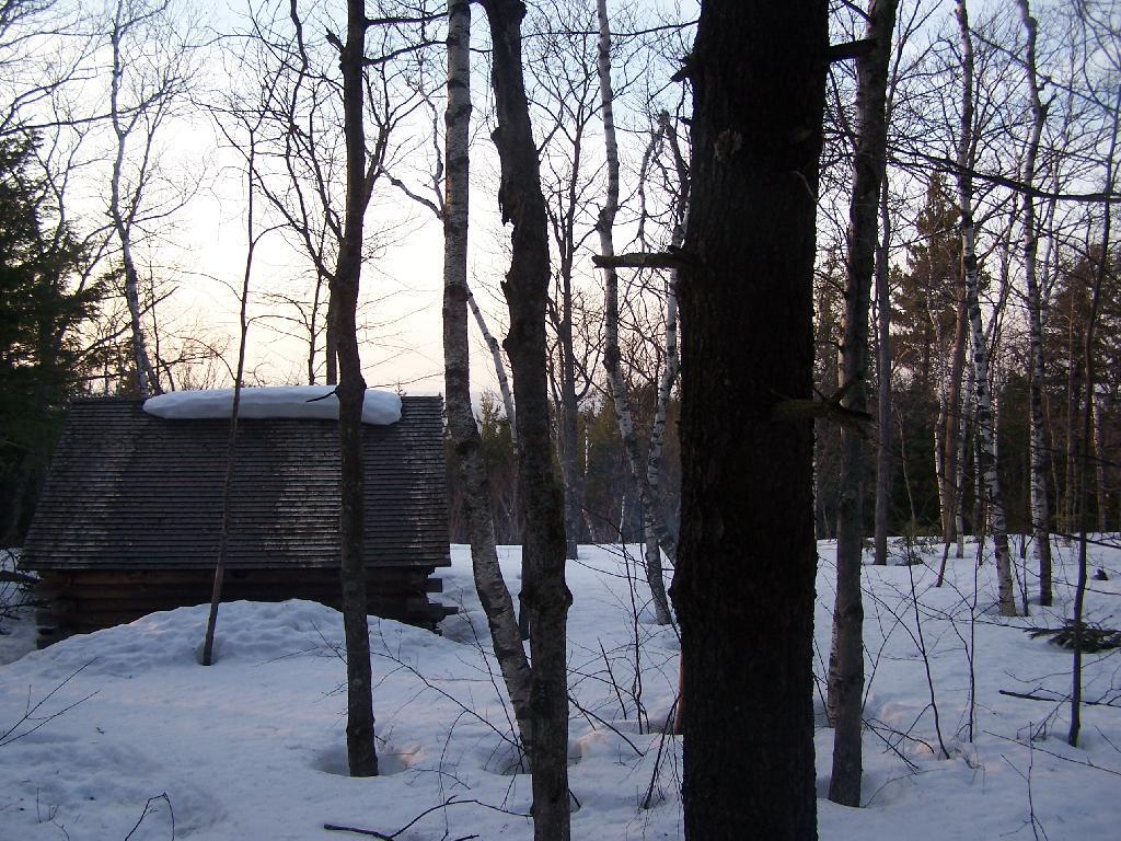
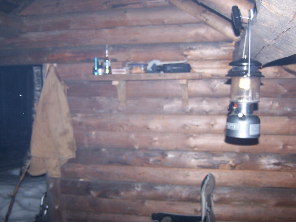
Reaching the lean-to, with gear all set up for the the night.
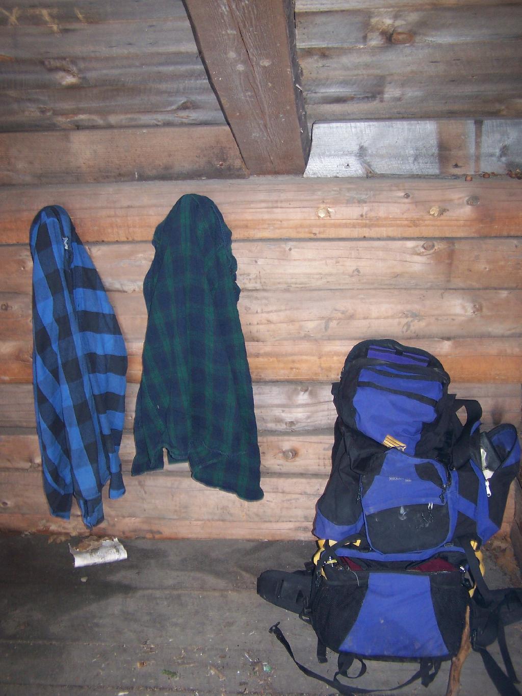
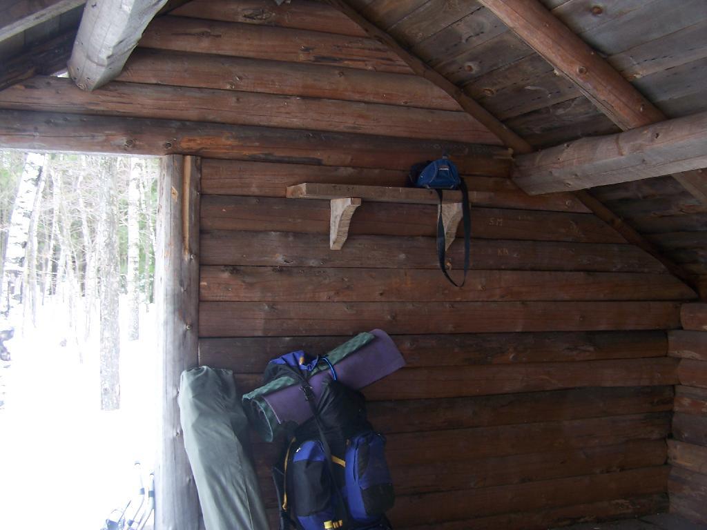
My backpack, and flannel shirts.
Sitting in the lean-to, looking at the setting sun. At the front of the lean-to, snow had melted off the roof, and was piling up in the front, creating a snow berm, keeping cool drafts away. Ironically, at this point due to the warm weather, I was sitting in a t-shirt and no jacket on.
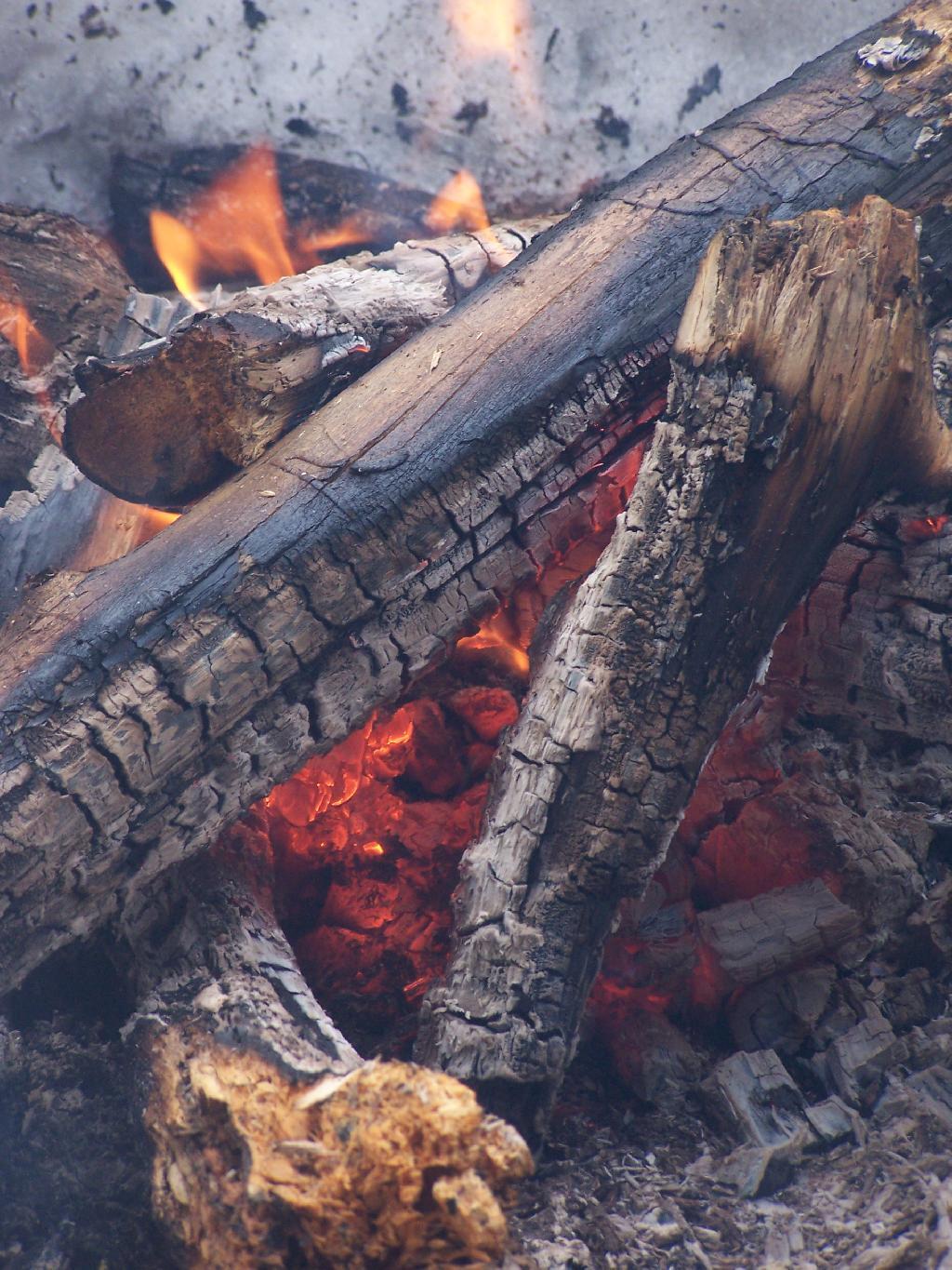
As I enjoy a nice a fire.
And night rapidly approaches.
At times it was a bit smokey in the lean-to, as I played on my cellphone, jotted down some notes, read some books, and just enjoyed the first night of spring.
It was a nice night. When I woke up, it was a gray cloudy morning and I made up some breakfast and got cleaned up.
And I packed my bags…
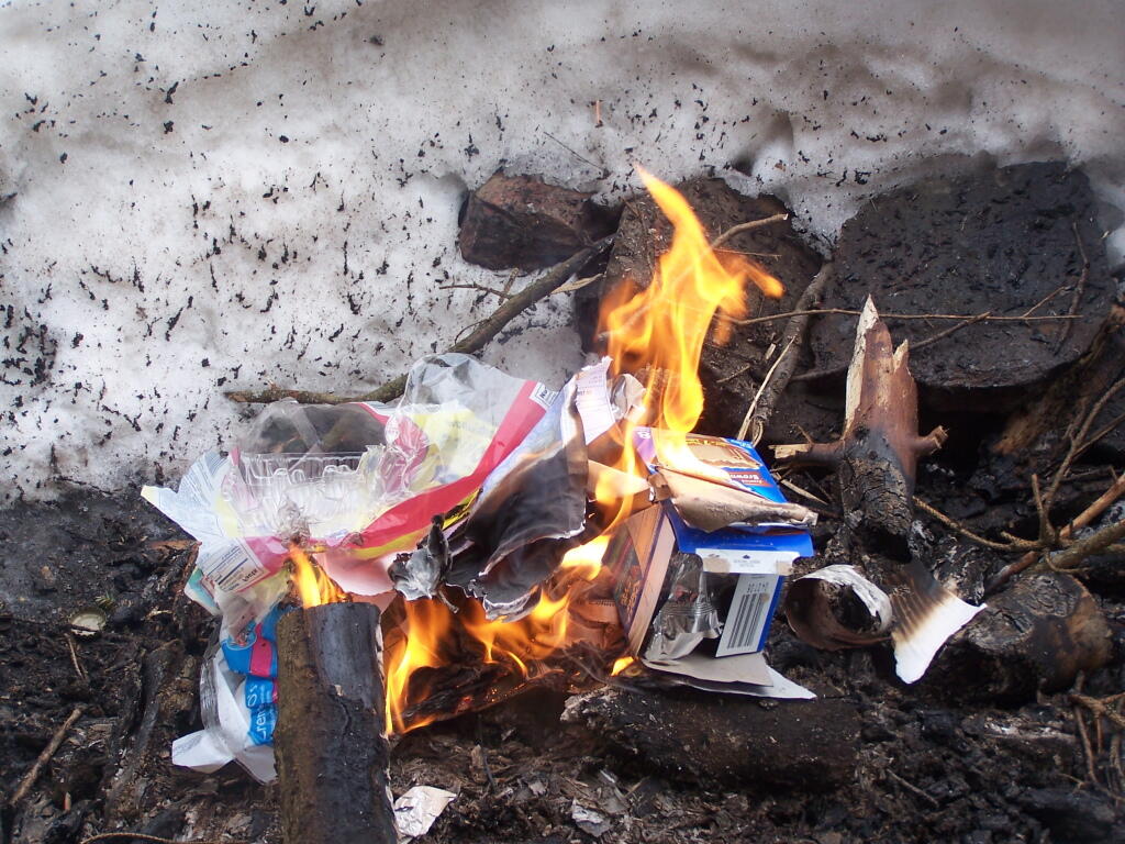
Burned my garbage from the past night…
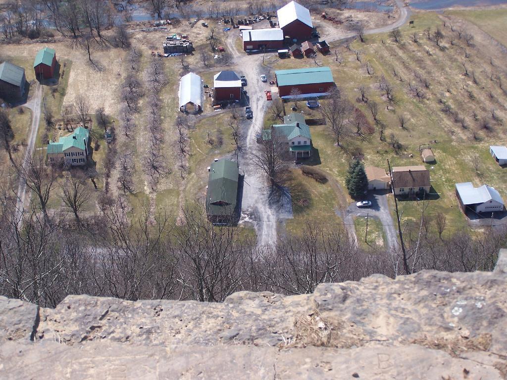
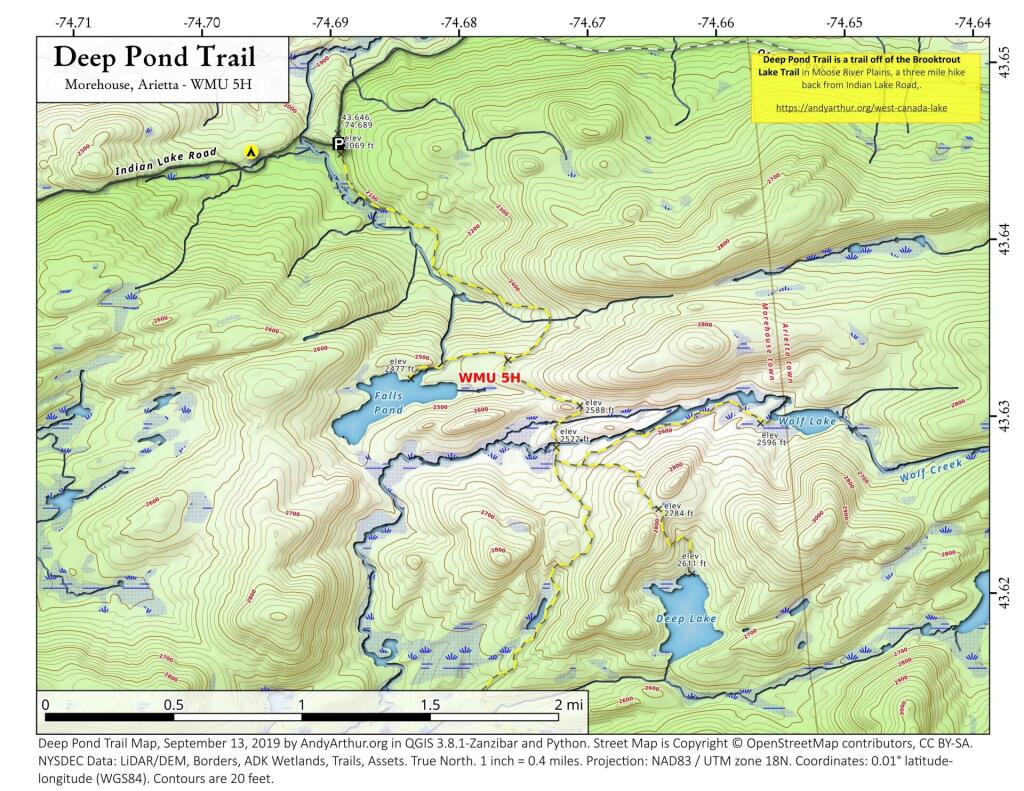
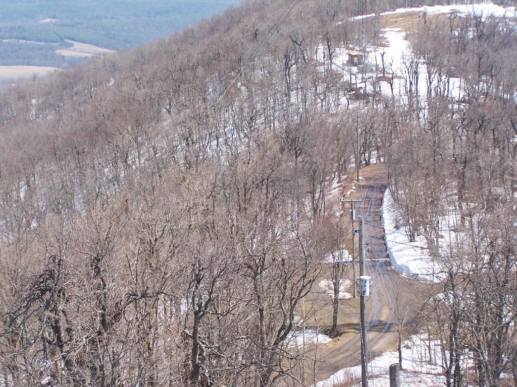
And off I went, down to the truck, then off to Middleburgh Cliff. Here is a map of where the lean-to is.
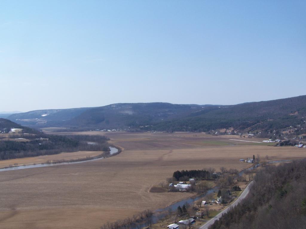
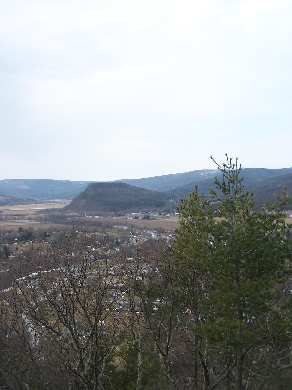
On the second day of spring I went hiking up Vromans Nose. A short little hike, it’s a favorite in Schoharie County for it’s sweeping views of the agricultural lands below. Below is a picture of Vromans Nose, as seen from Middleburgh Cliff.
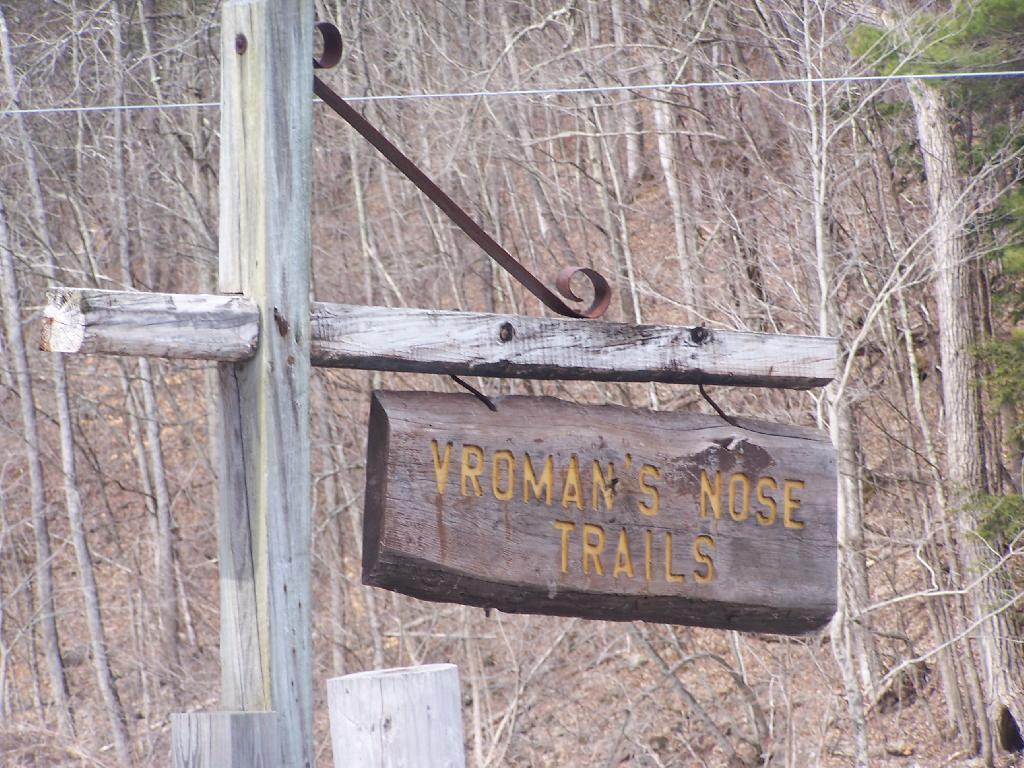
Sign for the trailhead.
Hiking up the mountain on a very brown-grey winter day.
NY 30.
A farm off the edge of Vromans Nose.
West Off Vromans Nose looking towards Towpath Mountain.
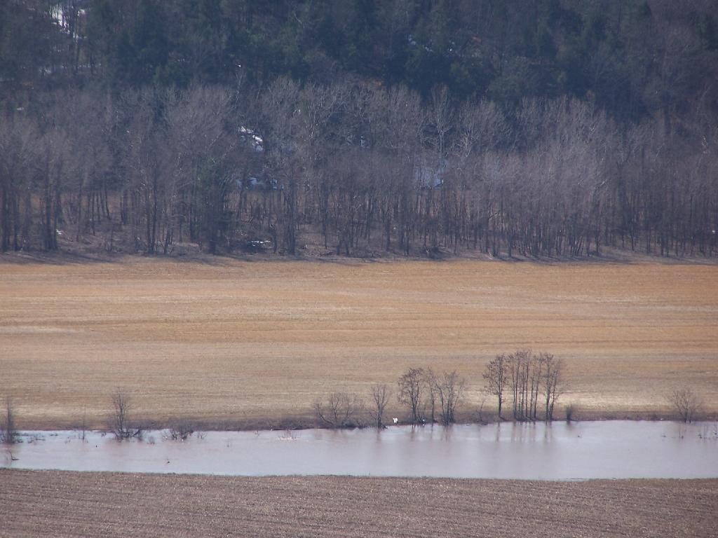
With all of the snow melt, the Schoharie Creek was fairly swollen.
Looking from the Tip of Vromans Nose towards Middleburgh, with Middleburgh Cliff in the background.
Severence Hill, mis-signed by the NYSDEC as Severence Mountain is located just North of Schroon Lake on US 9. It is a short hike, taking 45-minutes or so to go up, and is right off the Ticonderoga Exit of Adirondack Northway.
I’ve been up it a couple of times back when I was in college — if you have hour and a half to use up and your driving on the Northway near Saranac Lake it’s a must do.
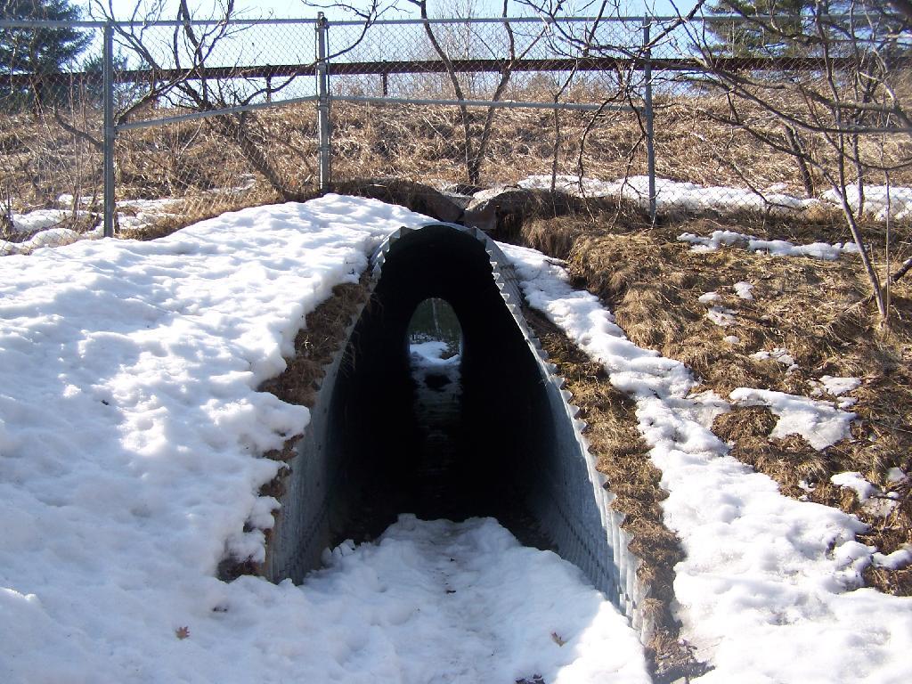
The first part of the trail goes under the two carriageways of the the Northway in a series of tunnels.
The next 1/4 mile of the trail is relatively flat until you cross a brook and head up a series of stairs, followed by a 1/4 mile ascent, some flat areas, then a quick ascent to the top.
As you reach towards the top, you have broken views of Schroon Lake to the South.
Reaching the top of the mountain, you have some beautiful views of Schroon Lake. Unfortunately the village is too close to see from the mountain and trees block the partial view.
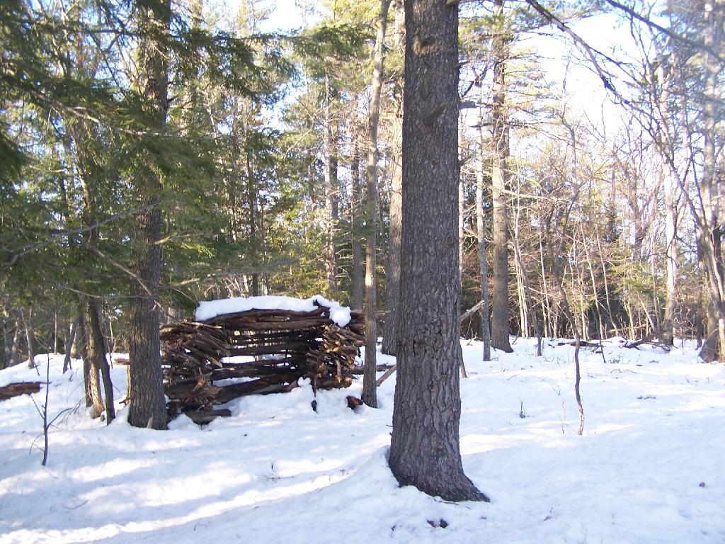
On the top of Severence Mountain, overlook Schroon Lake is this cute little lean-to shelter hand-made out of branches.
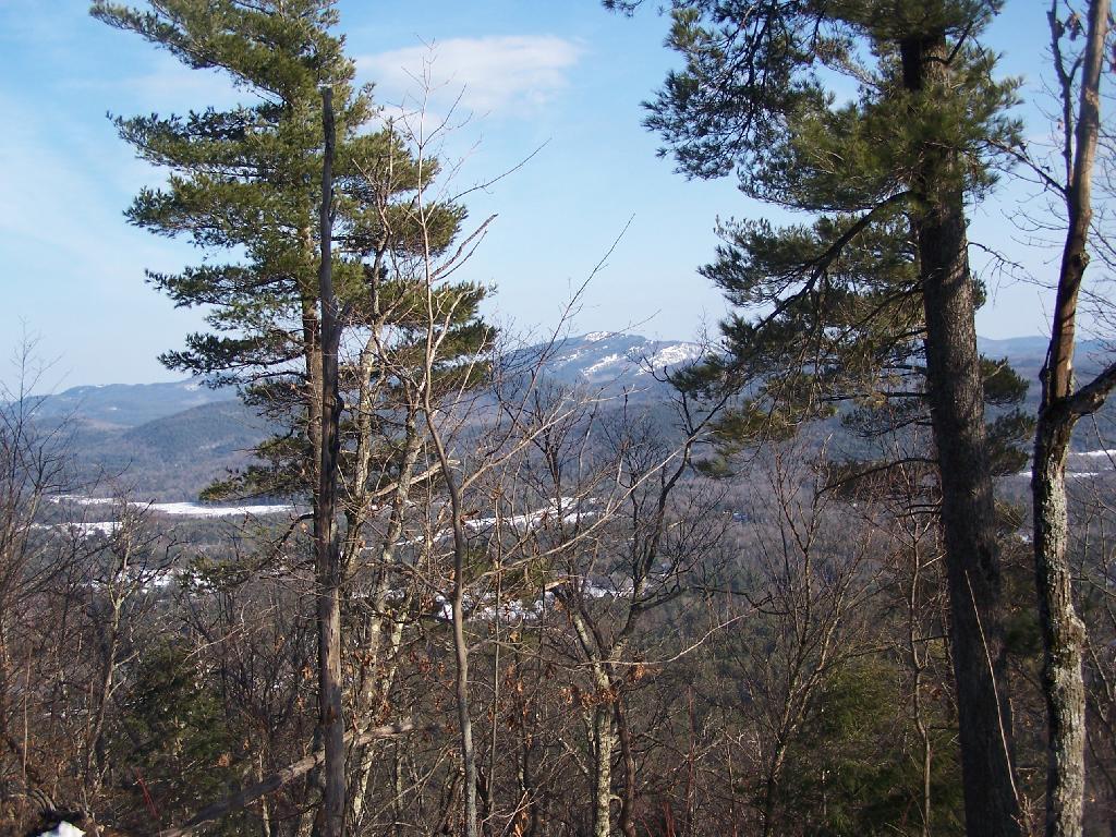
On the top of the mountain, the trail proceeds for another 1/4 mile, with broken views of Pharaoh Mountain.
As you continue along the trail to it’s end, you left with a good view of Paradox Lake with Skiff Mountain in the background. Blocked by that mountain range, after a significant descent, is Ticonderoga and Lake Champlain.
You come back the same way you came up the mountain. This is looking towards the southern-most portion of Schroon Lake at the mountains at the southern portion of the Adirondacks.
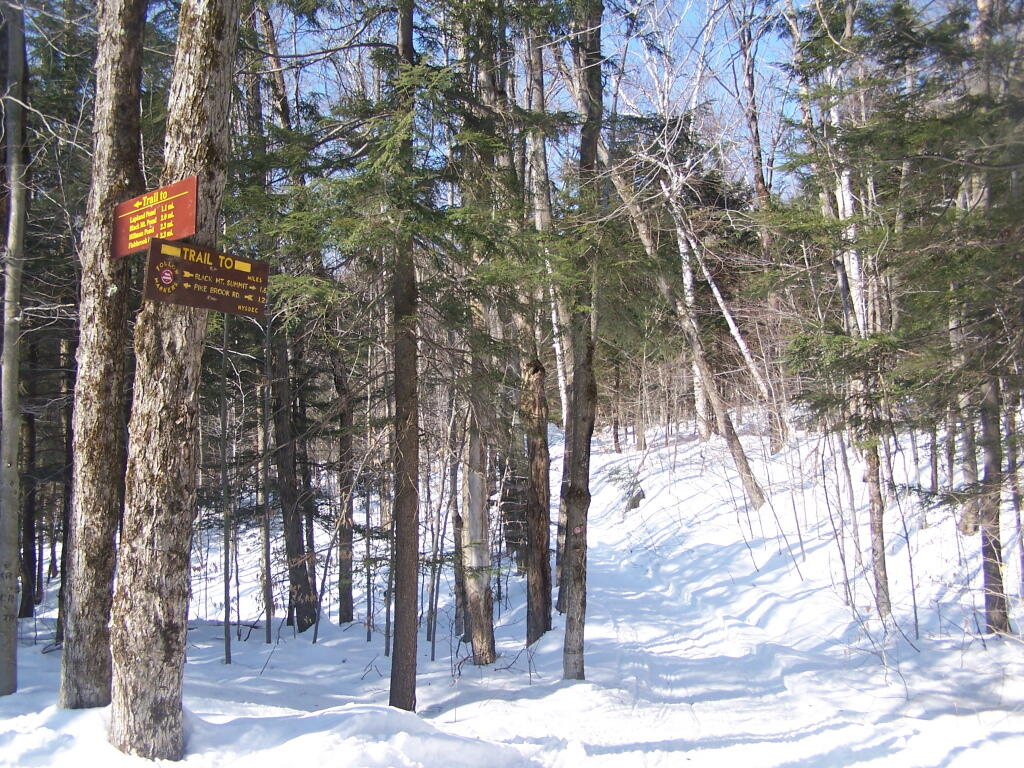
Black Mountain is the tallest peak between Lake George and Lake Champlain and contains an old fire tower that is currently used by the DEC Forest Rangers for communications equipment. It’s elevation is 2,640 feet, however accessing it from Pike Brook Road Parking area, your already at over 1,700 feet after driving up the very scenic Huletts Landing Road from NY 22.
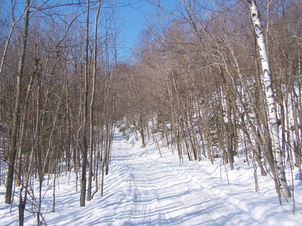
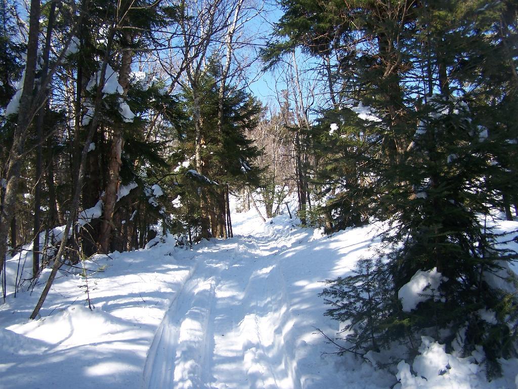
In the winter, the old woods road up Black Mountain is also a low-speed and narrow snowmobile trail that has occassional snowmobiles on it. At 3 miles, it’s a relatively short hike with an elevation gain of about 900 feet.
The first 1.2 miles up the mountain the trail is relatively flat. After the split between the valley trail to Black Mountain Pond and other lakes running down towards Lake George, and the trail up Black Mountain Fire Tower. The next 1.6 miles is much steeper, as the trail winds up the mountain following a Jeep Trail with many switchbacks.
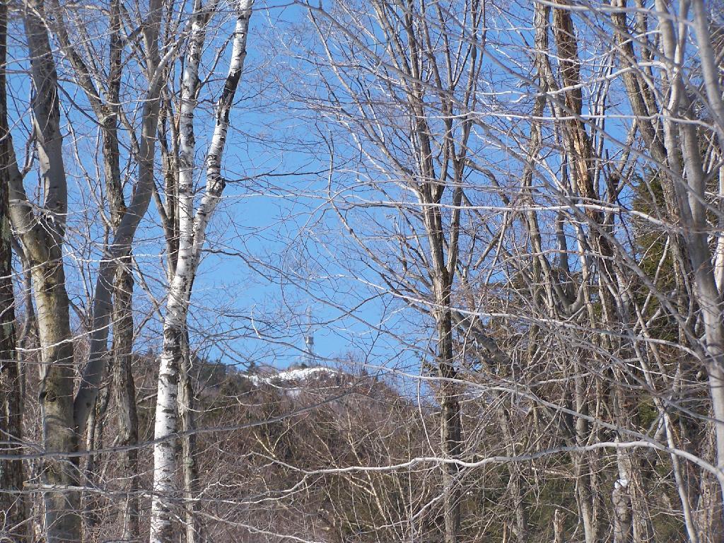
As you start climbing, you get a broken view of the fire tower on top of Black Mountain.
The snowmobile / old woods trail is narrow and steep as it winds up to the top of the mountain.
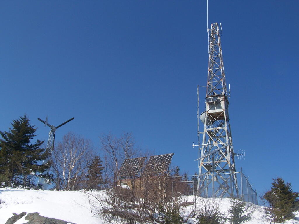
Reaching the top of the mountain, you can see the DEC Forest Ranger Communication Tower, with wind turbine, solar panel, and fire tower converted to communications tower. It’s disappointing that they had to convert the tower to a communications tower, because it would have otherwise provided nice views to the south.
Looking across Lake George towards Five Mile Mountain and the Adirondack Mountain in the distance.
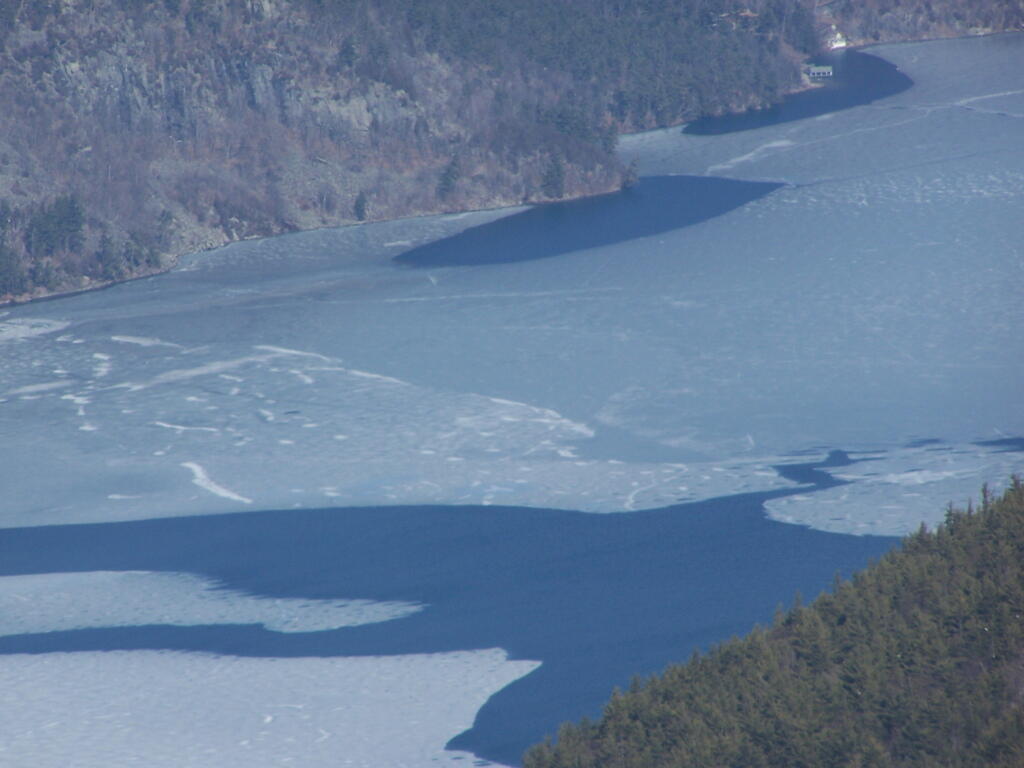
North on Lake George. In the foreground is Hague, farther in the distance is Elphant Mountain, the end of Lake George and the La Chute River down pass Ticonderoga.
Looking to the North-West off Black Mountain. In the foreground is Sugar Loaf Mountain, and just beyond that is the “Drowned Lands”, the marshy farm lands surrounding the southern portion of Lake Champlain. Even further beyond that is the Green Mountains in Vermont.
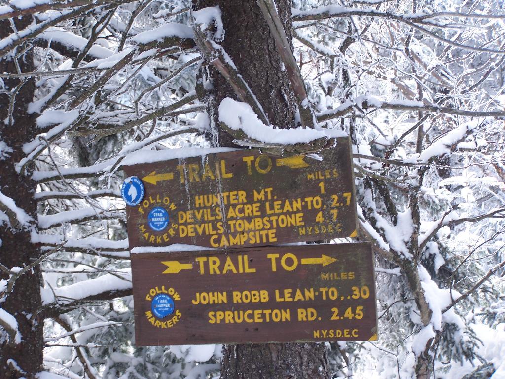
On Sunday, February 21, 2010 I got up at 5 AM and started out on the Spruceton Horse Trail to Hunter Mountain around 8 AM. Previously I went up Hunter Mountain using the much steeper Mink Hollow Trail, which in a couple of parts would be challenging to snowshoe for a novice like myself. The Spruceton Trail is 3.5 miles and an accent of 1,900 feet versus Mink Hollow Trail at 2.1 miles and 2,200 feet accent.
Here I am starting up the mountain, with trail-less high peak Rusk Mountain in the distance.
The Old Hunter Road (abandoned 1937) is straight, wide, and modest ascent. With the sun rising, I had issues with snow blindness, but it offered some interesting broken views of West Kill Mountain in the background.
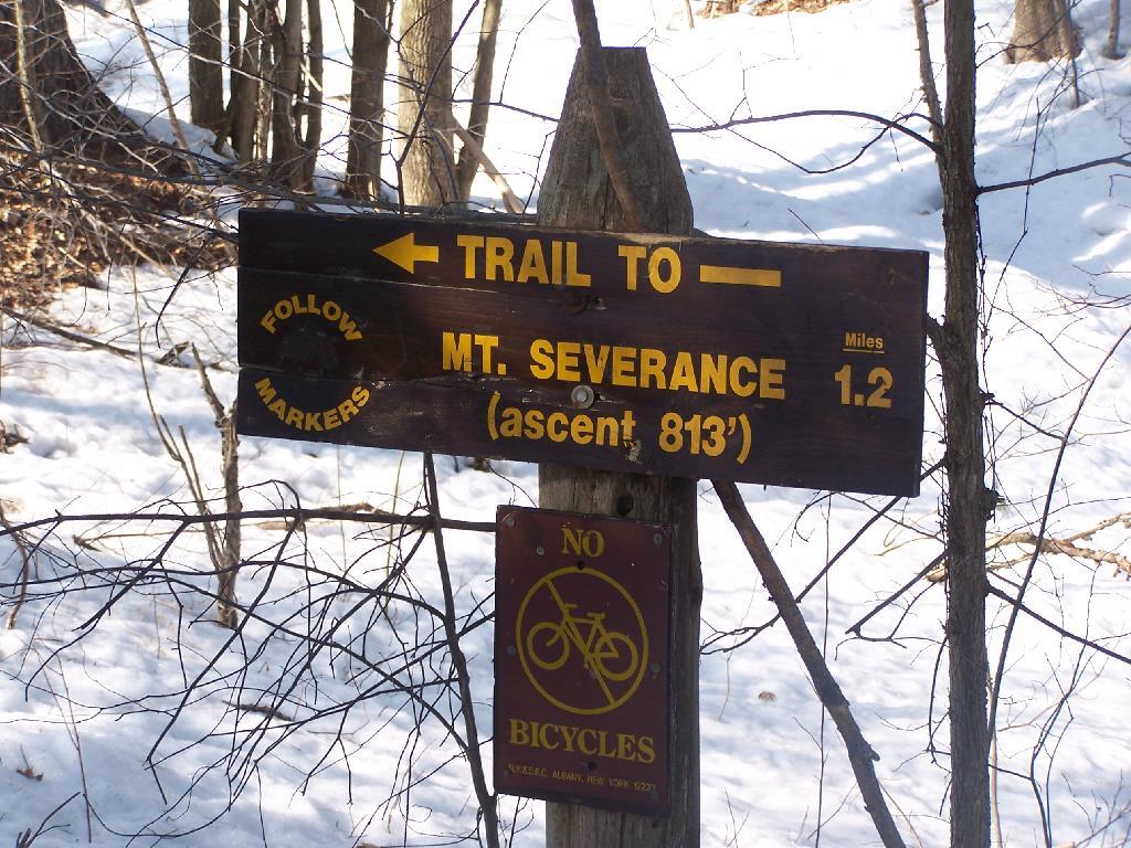
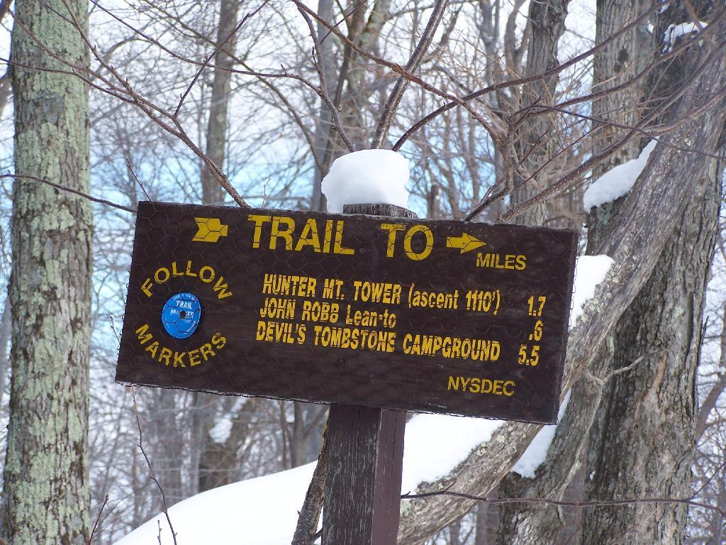
About half-way up the Mountain, you reach the “saddle” between Rusk and Hunter Mountain. After snowshoeing for a little over an hour, with this sign telling you there is 1.7 miles to go, an accent of 1,100 feet is a bit discouraging, but so be it.
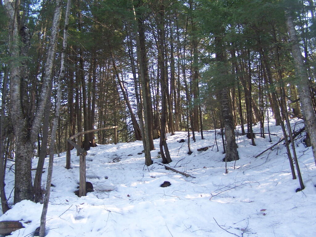
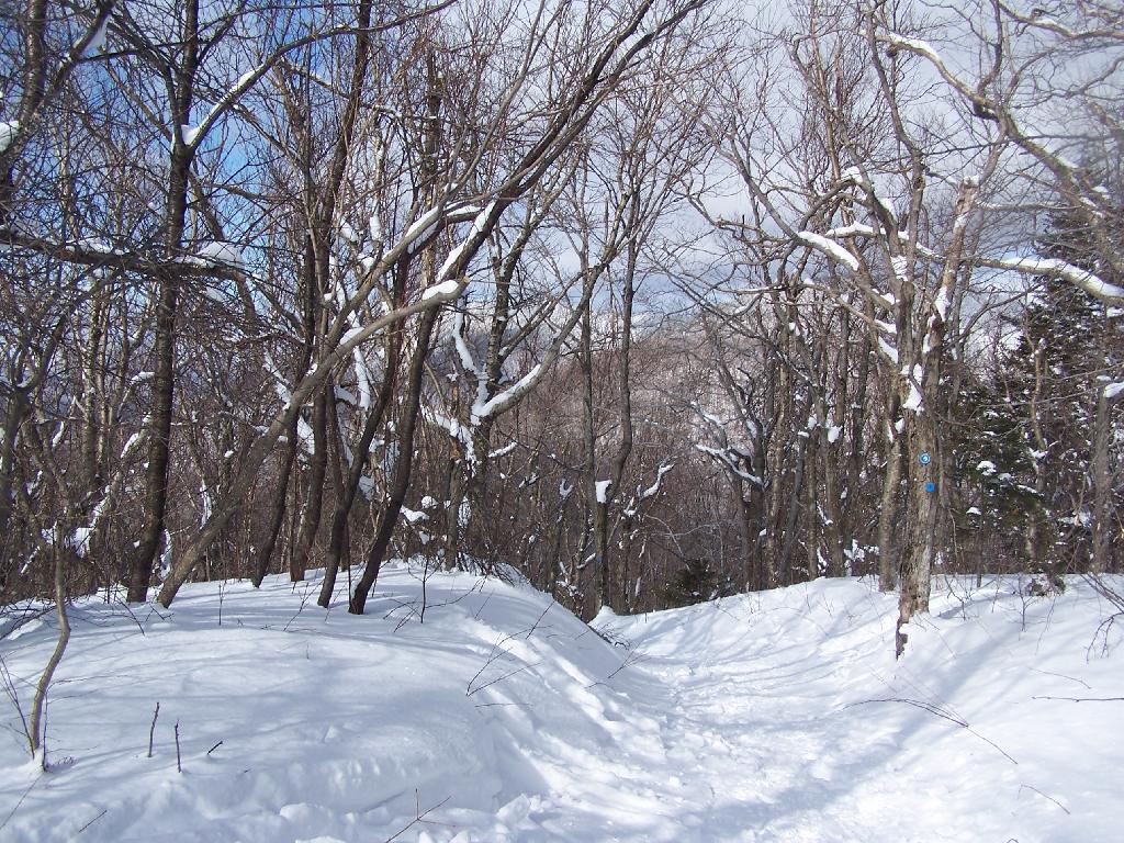
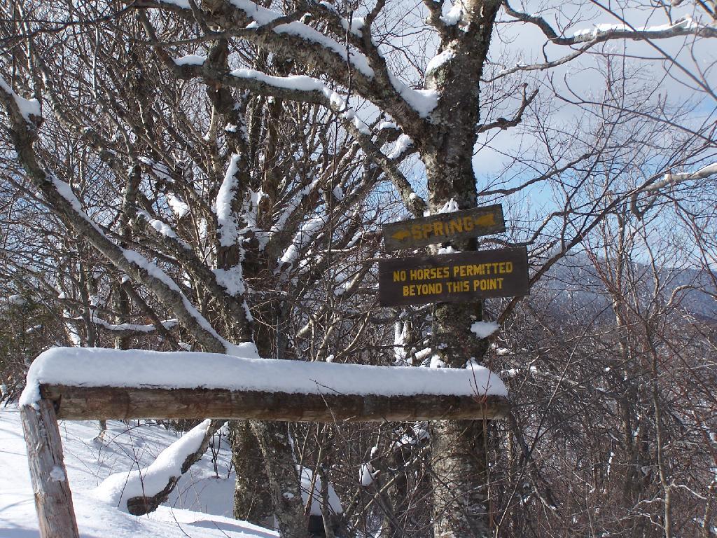
After about 2 hours of snowshoeing I reached the spring. The past half hour of hiking, from the saddle up to the spring, may not be a long distance at 1/2 mile, it is a vigrous but not not steep 500 foot ascent by an old but wide abandoned truck trail.
The AMC’s Best Day Hikes in the Catskills and Hudson Valley suggests that one has to be careful with drinking out of this spring, because thirsty horseback riders sometimes bring their horses back to give them a drink too, ignoring the sign.
From the Lean To, it’s approximately 1 mile to the Hunter Fire Tower. The next mile is either flat or a slight ascent, until you reach the last 1/4 mile of the trail where is ascent quickly with switchbacks, but again, not steeply.
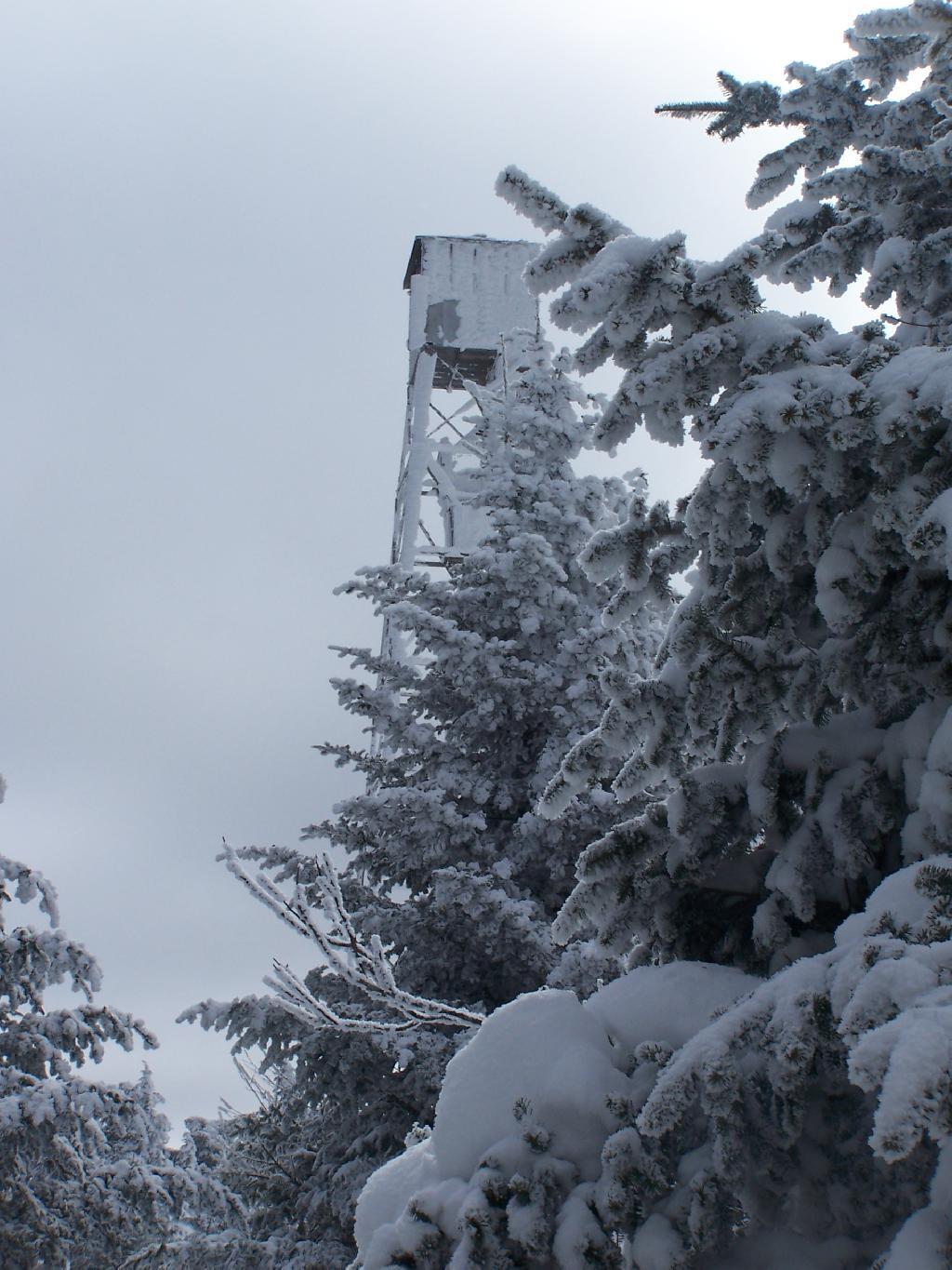
Finally after about 4 1/2 hours of snowshoeing (including breaks and taking photos), I reached the Hunter Mountain Fire Tower. By now it had clouded up, and it reminds one of a picture out of a movie.
It felt good to get the snowshoes off, stop, and have some lunch for an extended break.
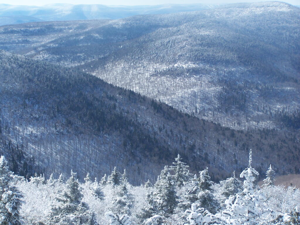
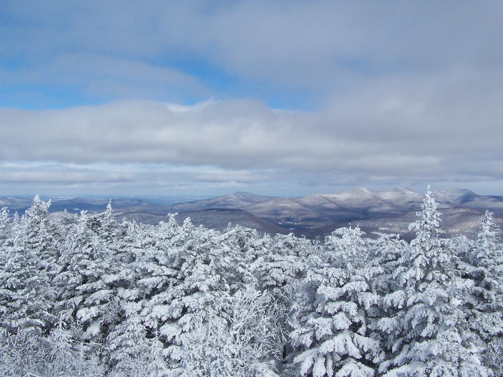
Looking North off the Fire Tower towards the Catskills famous TriMount-range aka Thomas Cole, Black Dome, and Black Head Mountains.
To the due east one can see Catskill’s Sunset Point, the upper Hudson Valley near Catskill, and in the distance, the Taconics, including the other Sunset Point in the Taconic State Park.
It was frigid on the fire tower with the winds blowing. Off the tower it wasn’t quite so bad. After spending a little time relaxing at the picnic table, and putting another layer of clothes on, I headed south along the blue trail to the Hunter Mountain Overlook which overlooks the South-Western Catskills.
Reaching the Hunter Mountain Overlook, the views where quite amazing, showing mountains from Mount Tremper to the east to West Kill Mountain in the West.
The saddle between Hunter and West Kill Mountain. It was amazingly beautiful.
After taking half a dozen photos at the Overlook, I headed back to the Fire Tower, and went up it once again. Here I am looking to the North West towards Blenheim Mountain and Schoharie County. The former Hunter Mountain Ranger’s cabin is in the foreground, with a snowboarder who snowshoed with board on back from Hunter Mountain Ski Resort on the balcony.
Here is South Hunter Mountain, looking due South.
Heading back down the trail, looking at Rusk Mountain.
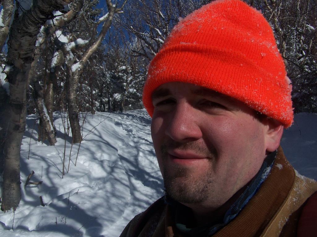
I arrived back to my truck around 4 PM. I was tired, as snowshoeing is a lot more work then hiking. Snowshoes kind of drag on the snow, and the cold just makes everything a bit more tiresome. Yet, the beauty was amazing even at a balmy 22 degrees.

![Untitled [Expires May 4 2026]](https://andyarthur.org//data/photo_003800_large.jpg)