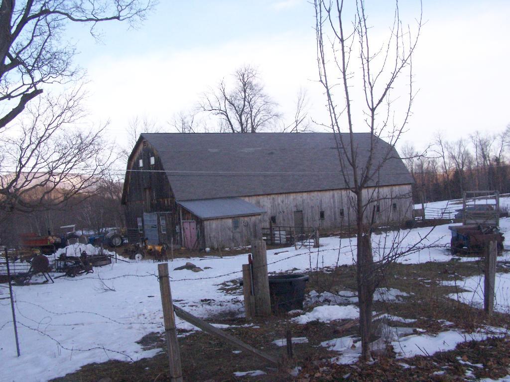
For about two months now I’ve been really itching to go out hiking on Mount Greylock. I have wanted to say I’ve “conquered” yet another peak. Last Sunday I decided it was time to go. I realised though with the short days and the snow predicted for the afternoon, I would not be able to make it all the way up Greylock, but would have to settle for Stony Ledge from the Hadley Farm.
Hadley Farm is a working beef cattle farm, and while the cows where in the barn, you can smell the livestock in the barn. The farm is privately owned, Massachusetts Department of Conservation Resources (DCR) owns a parcel of a land directly to the south of the barn, an old field that is snowploughed to allow parking.
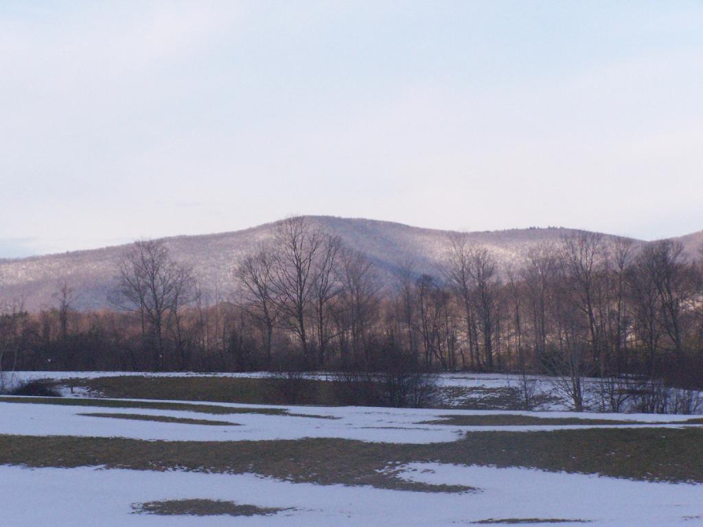
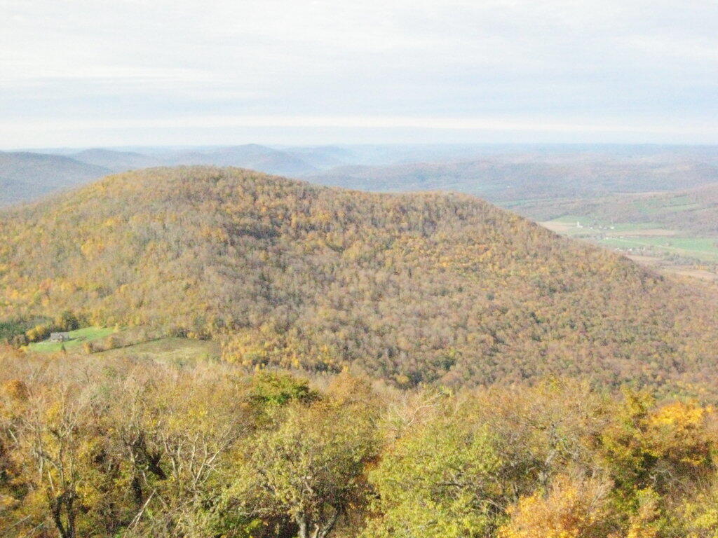
One of the first views directly to the west of the trail-head is the beautiful Deer Ridge, a set of lower mountains directly to the west of Mount Greylock.
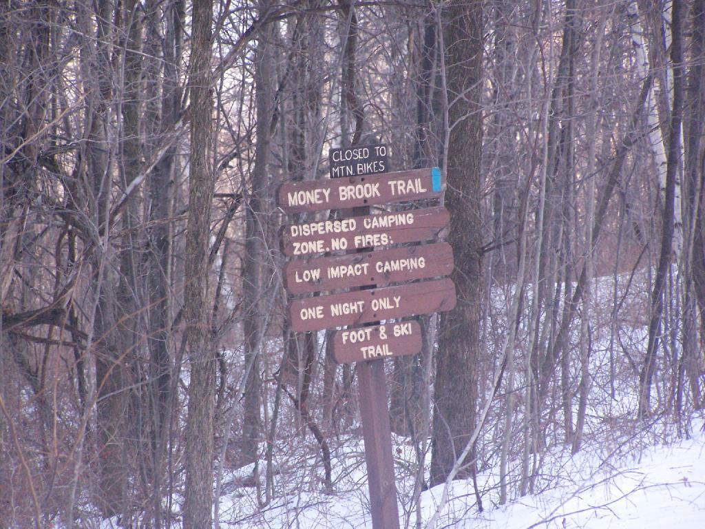
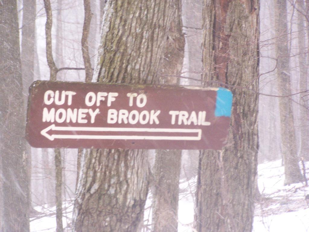
For a while the Hopper Trail is co-signed with the Money Brook Trail. Along the Money Brook they allow dispersed camping, which is not allowed in other areas. This portion of the Hopper Trail is relatively flat, with some climbing, but nothing too major.
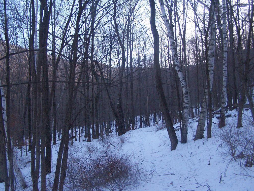
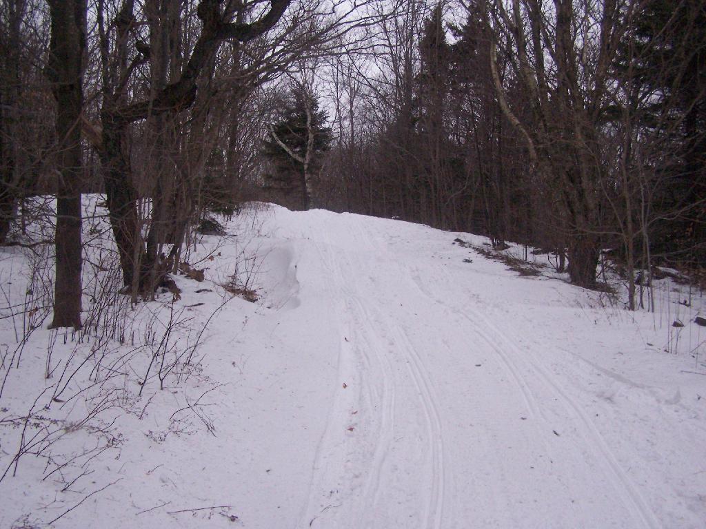
The trail I took up with the Hopper Trail, an old woods road that connects up with the camp ground on Stony Ledge. As I had gotten a fairly early start hiking up, the sun had yet to rise over the high mountains, so things where still in a shadow. The deep valley I am in is called the Hopper.
When you reach the Sperry Road Campground (free primitive backpack/horseback/snowmobile campsites), here is the sign for The Hopper / Hoper Trail. In Massachussets they sometimes get a bit carried away with all the words they use on their signs.
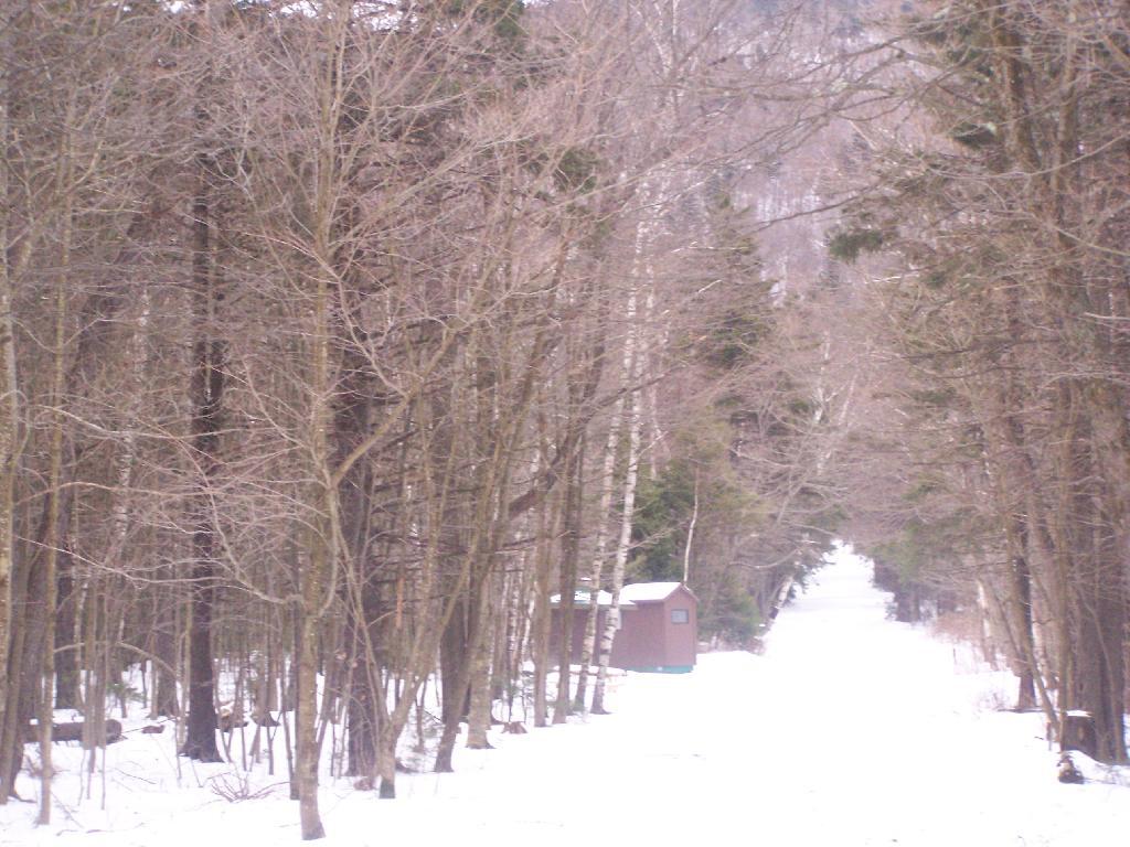
Here is Sperry Road / Campground. Right now it’s being used as a snowmobile trail. In the background is the side of Mount Greylock, some 1,000 feet above Sperry Road.
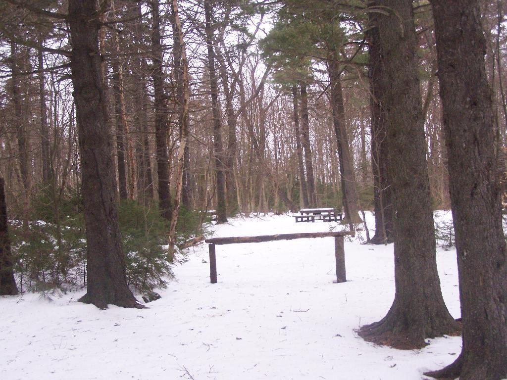
Here is Campsite R6 at Sperry Road. All of the campsites have picnic tables, the tiny little fire pits that are standard issue by MassDCR, and a hitching post for horses.
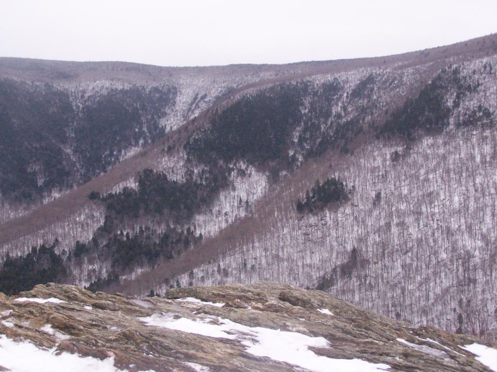
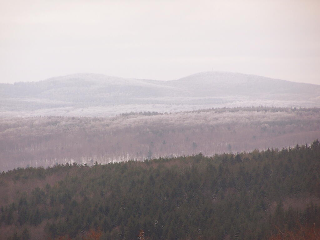
Reaching Stony Ledge. I’m tired. I sit down at the picnic table, and take off my snowshoes, and look down at the Hopper and the Taconic Mountains in the distance. The snow had largely blown off the face of the mountain.
Here is the pass between Mount Greylock and Mount Prospect. The “wrinkles” in the mountain, and the stony-nature of Stony Ledge just seemed so perfect for this rapidly greying day.
I didn’t spend much time at Stony Ledge. Shortly after reaching Stony Ledge, it started to sleet (ice pellets) pretty hard. My left-cleet came apart on my snowshoe, so I decided I’d better head back. I wanted to find the pieces that fell off my snowshoe, so I returned the way I went up the mountain.
Part of the descent down on Hopper Trail was quite steep and icy. With my broken snowshoe, which I later found the parts for on the trail, it was a slippery descent. The old roadbed was covered with a thick layer of ice, made slipper from the sleet, and at an almost 45 degree angle to the roadbed, because of drifting snow.
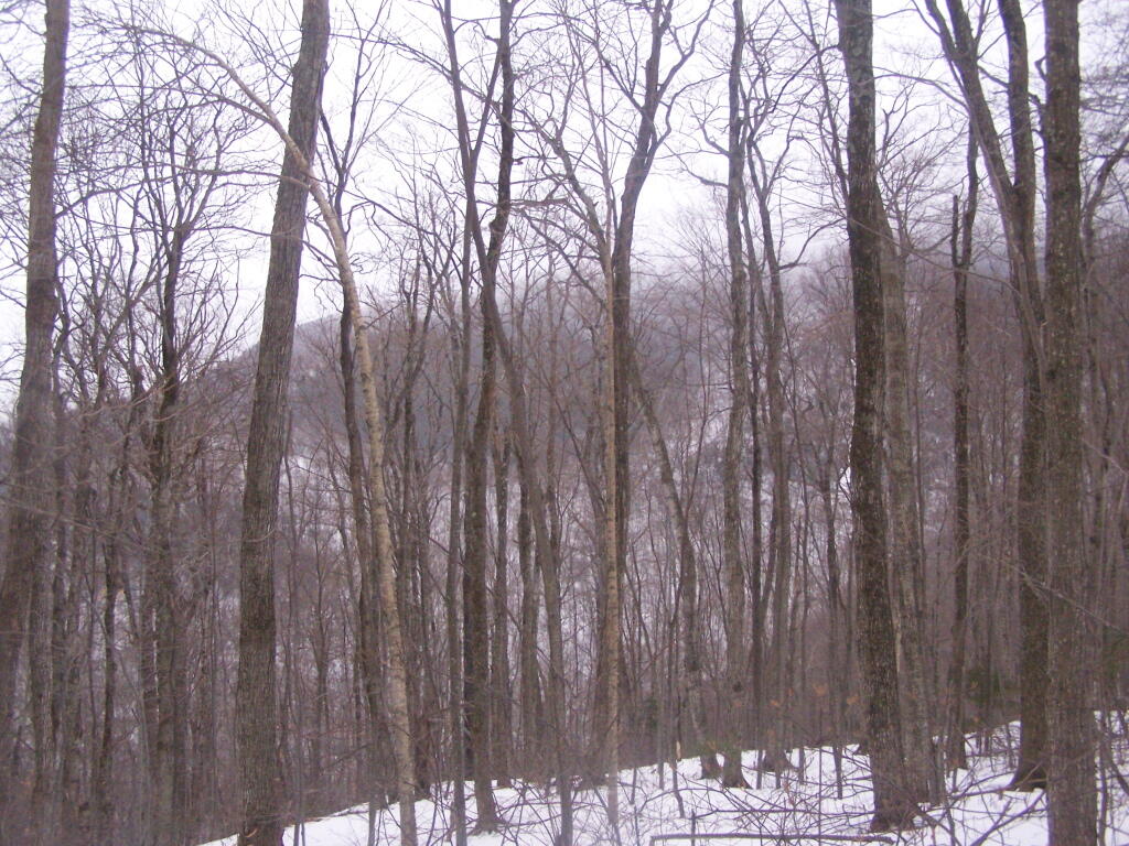
Looking up towards the Cut Off to Money Brook around 1:30 PM as the snow was rapidly flying around and coming down. It wasn’t quite whiteout conditions, but it was very white. It would change from ice pellets/sleet to snow then to ice pellets, and finally back to non-freezing rain.
By the time I made it back to my truck, it was pouring rain out. Much too wet to get the camera out for sure. I hopped in the cab of my truck, took off my thermal overalls, and got warm. It was a long drive home on very slippery roads, but it was worth it.
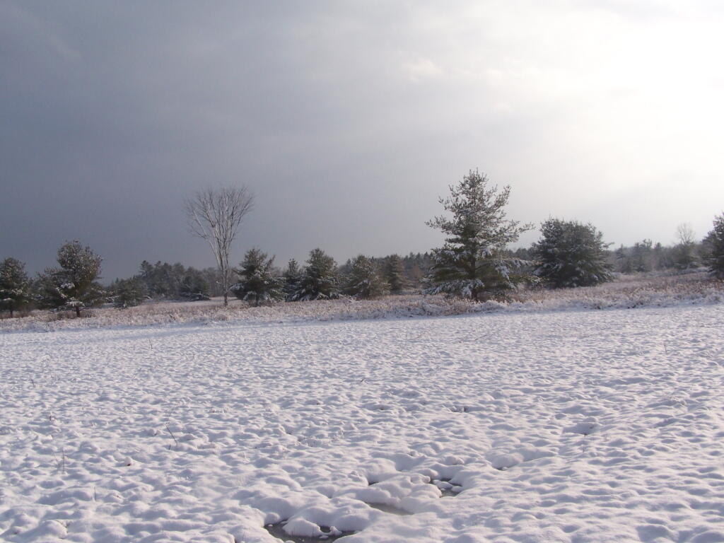
Two Sundays ago I decided to go for an hour hike at Five Rivers. Nothing fancy, I just wanted to try out my snowshoes for the year, get a little pratice, and get some pictures of the first fluffy white snow of the year.
It was a cloudy day, a pretty quiet day. There was a lot of people out walking around, and in many places the trail was quite slushy.
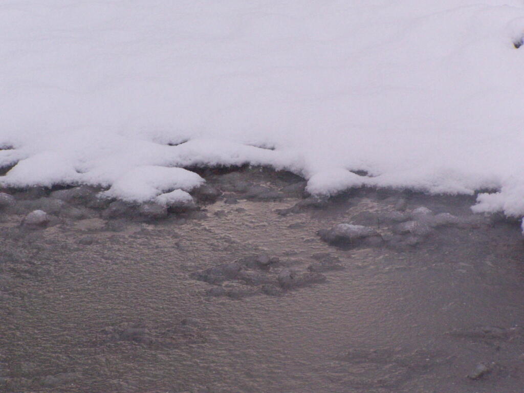
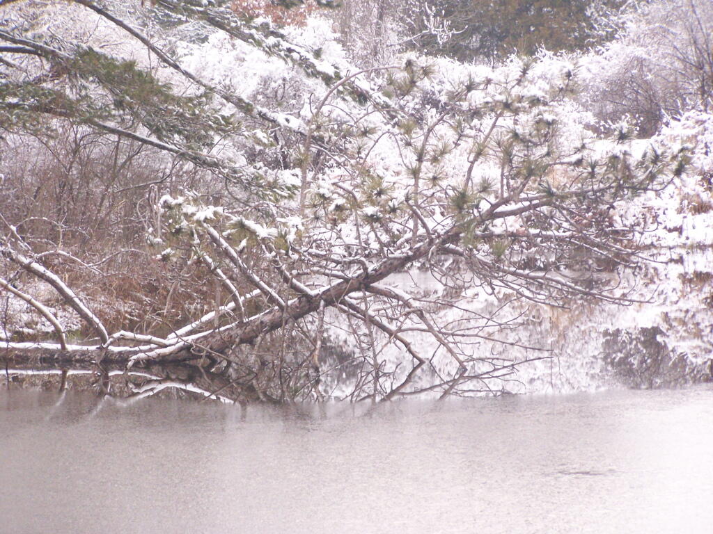
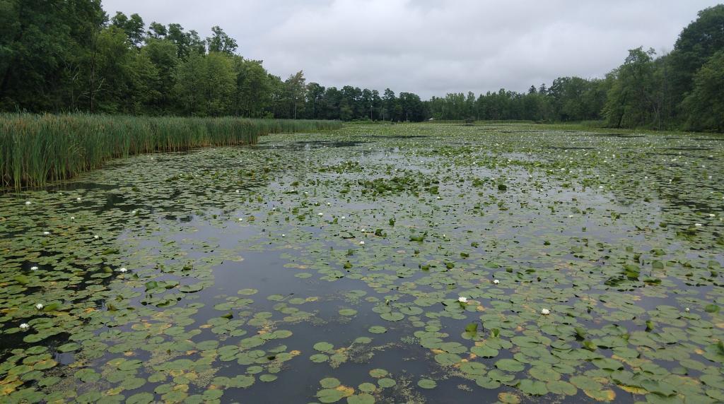
Some of the ponds at Five Rivers where very much frozen for the first time this year.
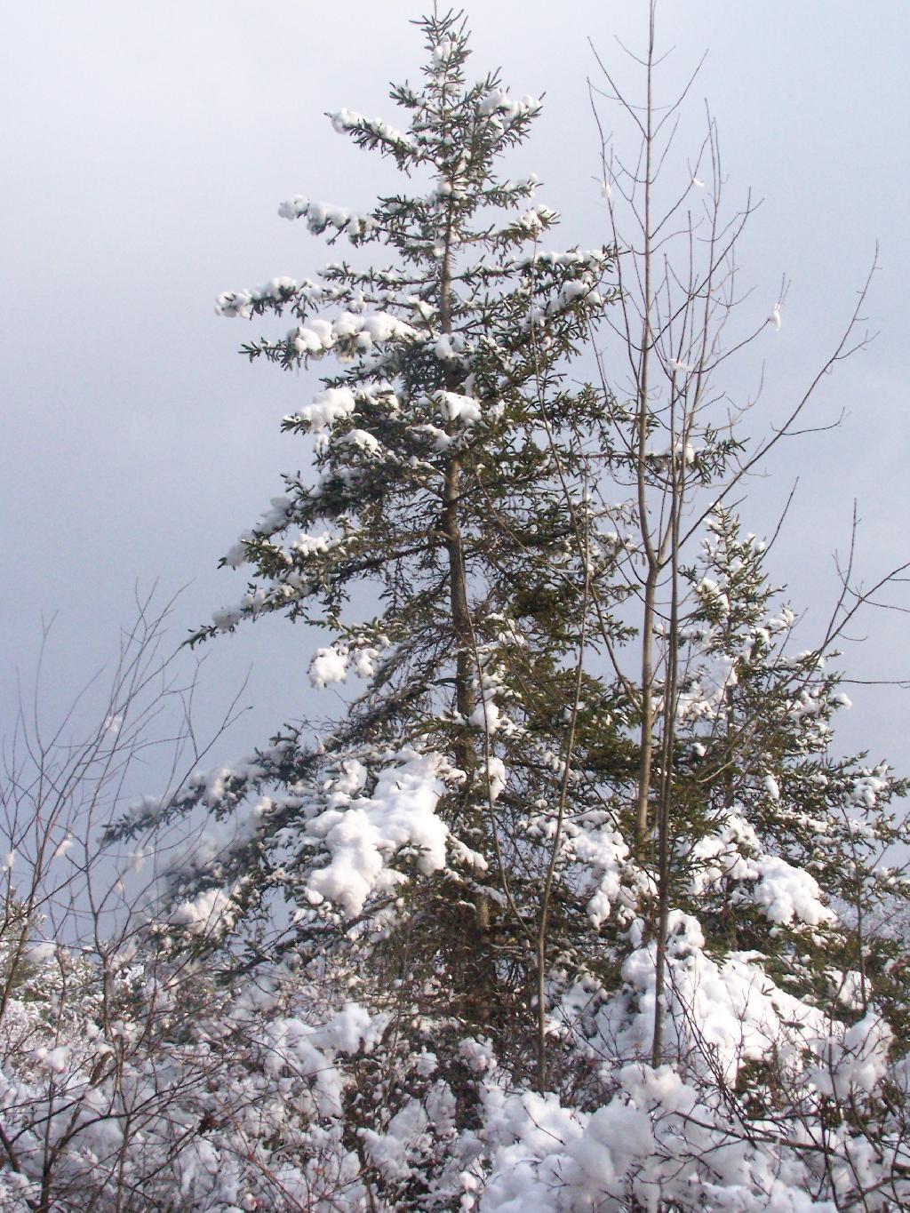
The trees where all covered with a pretty layer of snow, as seen with this pine tree against a grey sky.
As I walked around the back field it was truly a beautiful winter wonderland.
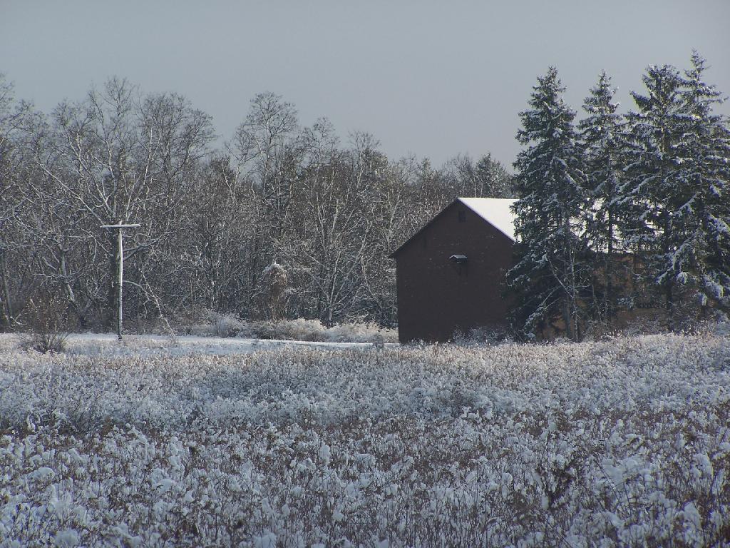
Heading past the DEC Barn off the North Loop Trail / DEC road.
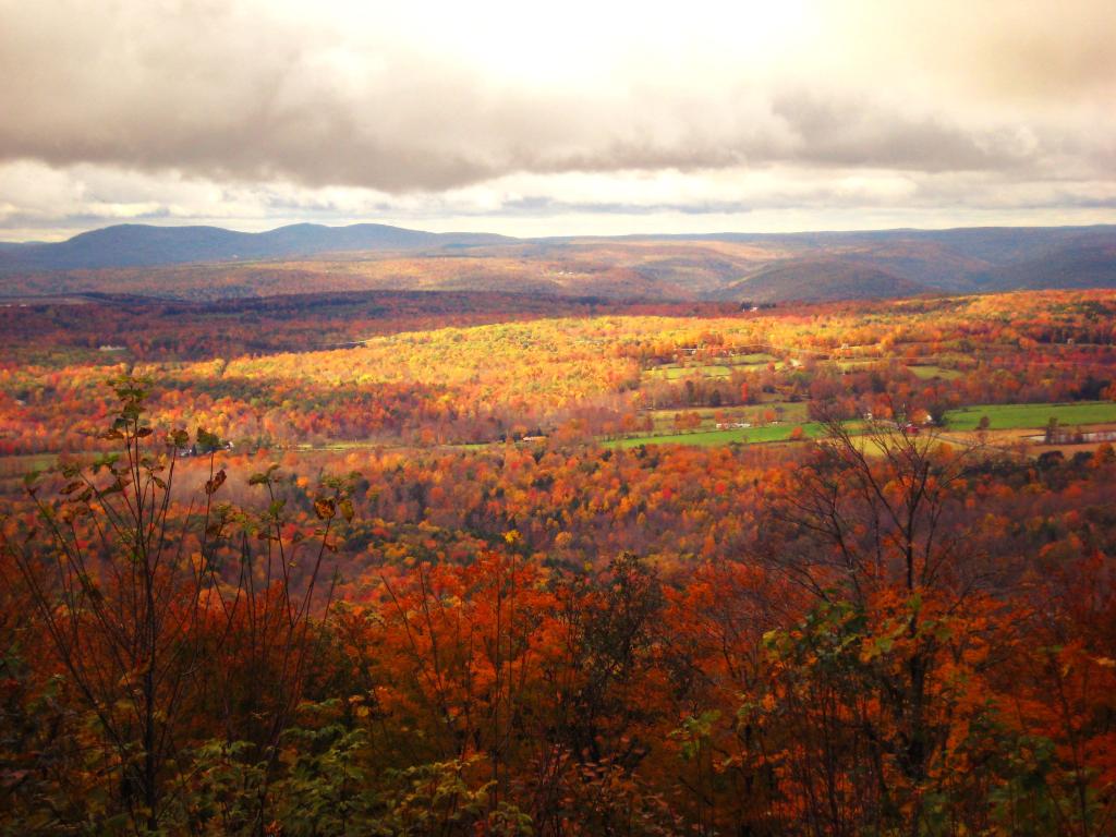
Today starts the month of December. It’s quite a remarkable thing because it seems like it just was November and then October with the beauty of all the fall colors. Hunting season has been under way for almost two weeks now, and Thanksgiving came and went so quickly.
It’s the month when we celebrate Christ’s birthday, and are overwhelmed by crass consumerism of the Christmas Season. For some it’s a time of meaningless giving, while for others it’s a true celebration of the birth of Jesus Christ, a child whose much fabled birth would forever change history. We attend religious services and light candles to celebrate his birth.
It’s also time of celebration, with many special Christmas parties and family gatherings. We see the first snows of the year, as our families and friends come back together for fantastic meals and time for fellowship.
December is the final month of the year. It’s a time of looking back at the past year and all that has changed. Much has changed in the world around us, and we all have changed as individuals. We look forward to a new year and all that it will bring to our society.
This morning at the crack of dawn started the sound of big game season across the southern zone of New York. Bang! Bang! Big game season has been under way for about a week in the the Northern Zone, but is finally getting under way down here south of the Adirondacks.
Culturally it is one of the most important times of the year for Rural America. It’s a time of pride for our rural heritage, and a time when people get out in the woods, and observe the natural patterns that make up our world. Most of hunting doesn’t involve shooting, dragging back, or processing the deer, most involves staking it out and waiting for deer to walk out in clear sight, so one get aim and take down the deer. Hunting is more about observing and waiting for deer, then it is about shooting guns.
(Joesph Davis State Park, Lewsiton, NY)
The gun season for big game (deer and bear) lasts for 3 weeks in late November, with bow season and junior archery running on both ends. Yet, gun season is so successful at reducing the buck population — especially in rural areas — that it’s largely over in just one day, with 55% of the gun season buck permits being filled within two days. Hunters who don’t get a successful take the first day will come back, with diminishing results.
New York State has a deer management problem. Hunting helps out, however many areas are becoming off limits for hunters. Farmers are less likely to allow people access to their land to hunt off it, because of problems with irresponsible individuals leaving gates open and littering. Suburban sprawl means there are increasing areas where hunters are too close to buildings or roads, to legally be able to hunt. Few areas of New York State are designated bow only, but for practical reasons, it’s impossible for people to hunt by gun, which means a much lower deer take.
(Five Rivers Education Center, Delmar, NY)
Deer hunting is good for our state and collective conscience. It teaches us where food comes from, it reminds us of our deep bond to nature. Driving around seeing a freshly harvested deer on a person’s car roof or in the bed of a pickup truck, reminds us of our deep connection to world. Seeing a deer being hung from a tree, allowed to drained out or being processed, and ultimatley eaten, is probably the closest that most people will ever come to nature.
Hunting is an important part of our society. Most hunters are very responsible people, who do it out of their passion. Venison tastes awesome. If your heading out hunting or doing other things in the woods be safe. Observe where you are in the woods. Notice where hunters are parked, spot them in the woods, make your presence known. Avoid them, don’t disturb the natural world around them; stay on roads and trails. And wear blaze orange — it could save your life!
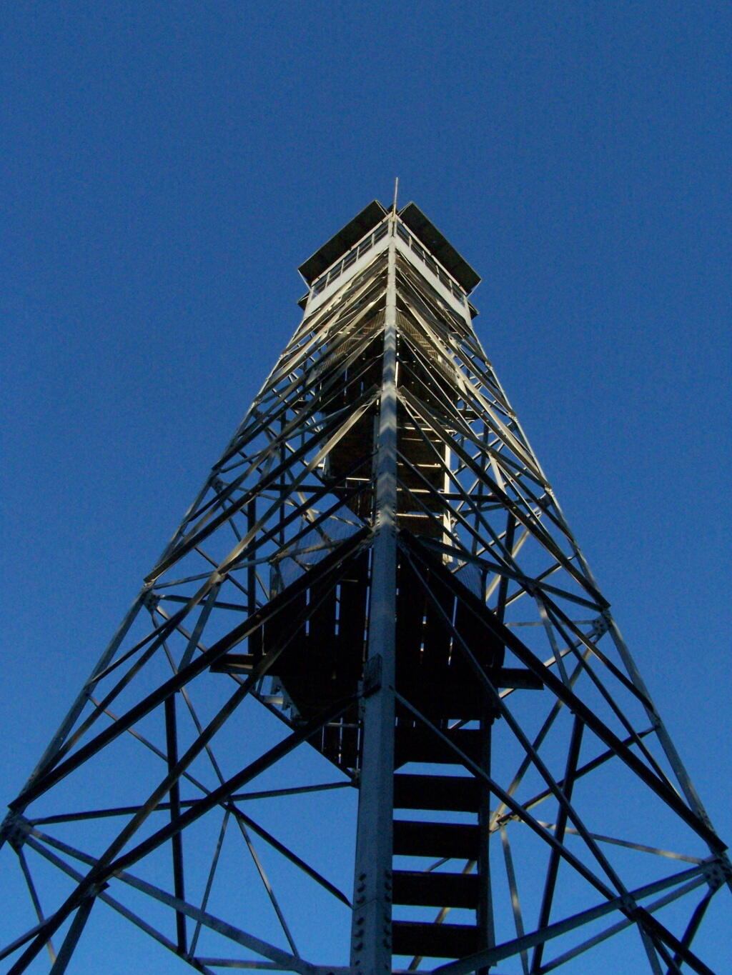
This past year I have spent a great deal of time hiking up mountains and visiting fire towers. Here are pictures of the second five fire towers I visited this year, along with a short description and maps in the second part of this series.
June 29, 2009 & June 30, 2009:
Sugar Hill Fire Tower
The Sixth Tower I visited, was Sugar Hill State Forest / Horse Camp is located outside of Watkins Glen. It’s an equestrian facility with 50 miles of trail, along with a small hiking/no horses area. They have free camping, and 3 equestrian lean-tos and one hiker lean-to on the Finger Lakes Trail. A definitely cool place to visit if your in the Finger Lakes.
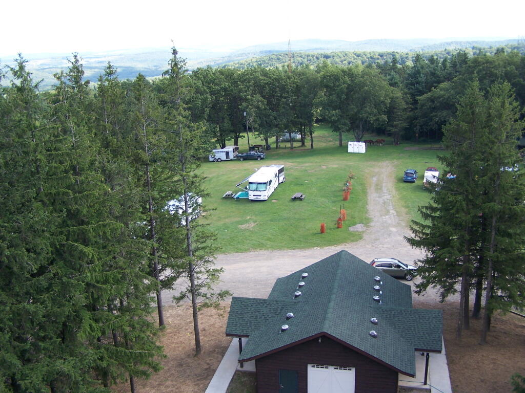
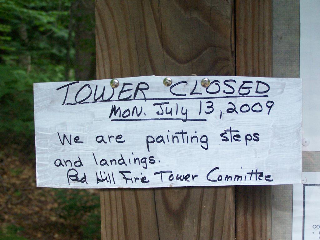
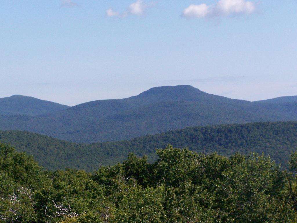
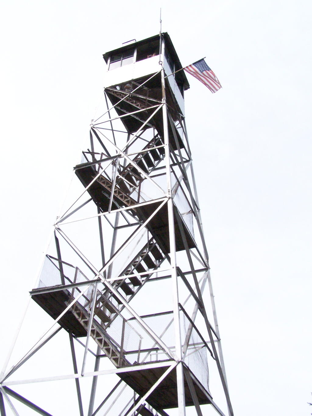
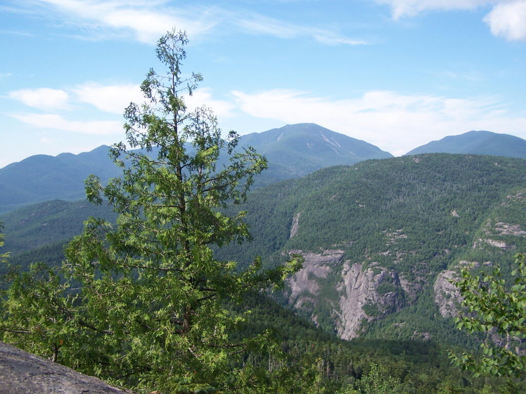
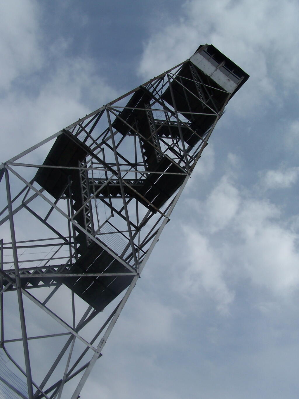
The seventh tower I visited, Red Hill Fire Tower is located south west of the Catskills, barely in the park, with views of the south-western Catskills, the High Peaks, and down towards the Delaware River in Pennsylvania.
The Eightieth Tower I visited, was Balsam Lake Fire Tower is located in about 10 miles south east of Margretville in a very rural portion of the Catskill Mountains. It is the only tower in the Catskills actively staffed by DEC Fire Rangers on weekend (mostly acting as guides).
August 7, 2009 & October 10, 2009:
Leonard Hill Fire Tower
The Nineth Tower, Leonard Hill Fire Tower is currently inaccessible, pending renovation. They have removed the bottom to flight of stairs to discourage people from climbing the tower. That said, the DEC Forest Ranger has cleared out a camp site/viewing area directly to the west of the Tower for those who want to enjoy the amazing view due west of the Western Catskills and Upper Schoharie Valley.
October 11, 2009 & October 12, 2009:
Mount Utsayantha Fire Tower
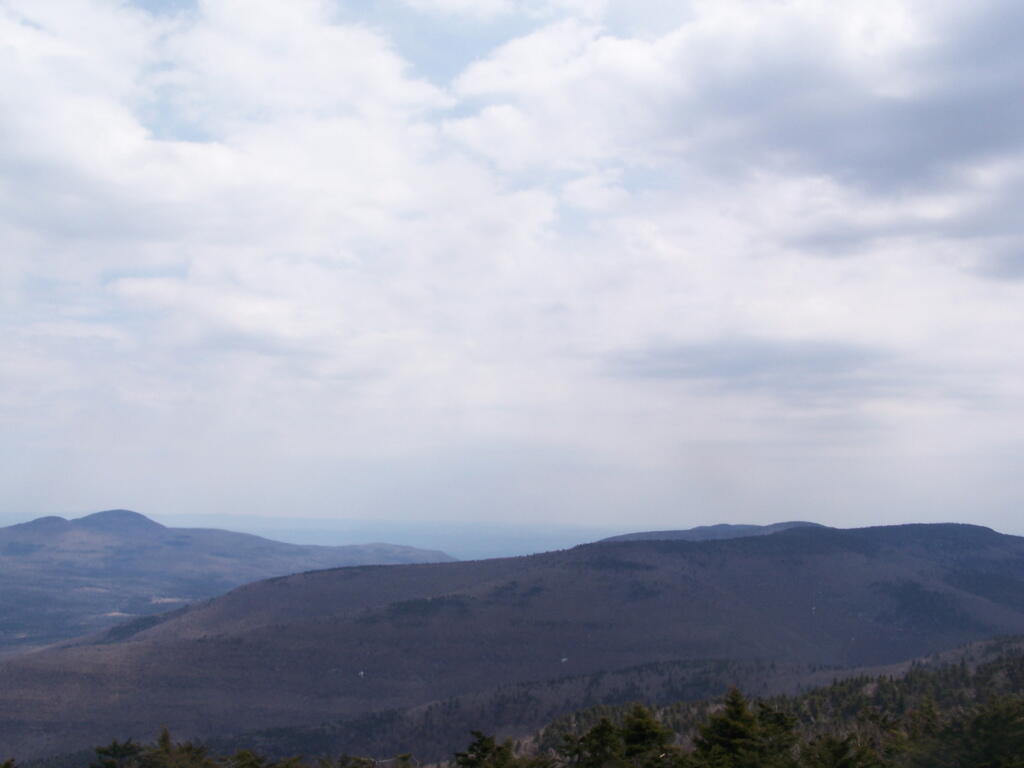
Mout Utsayantha was the Tenth Tower I visited. This fire tower is on a public village park, above Stamford, NY. You can drive right up to it — I visted it twice one weekend. It gives you amazing views of the western Catskills, the area around Summit and Emmenece State Forest, the Upper Schoharie Valley, and on clear days out towards Oneonta.
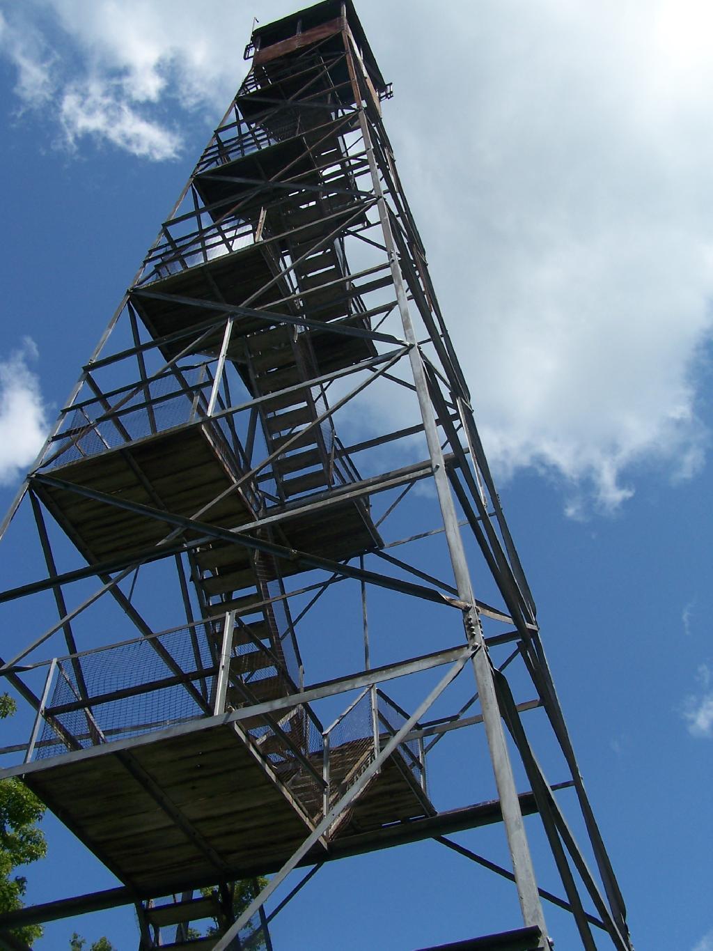
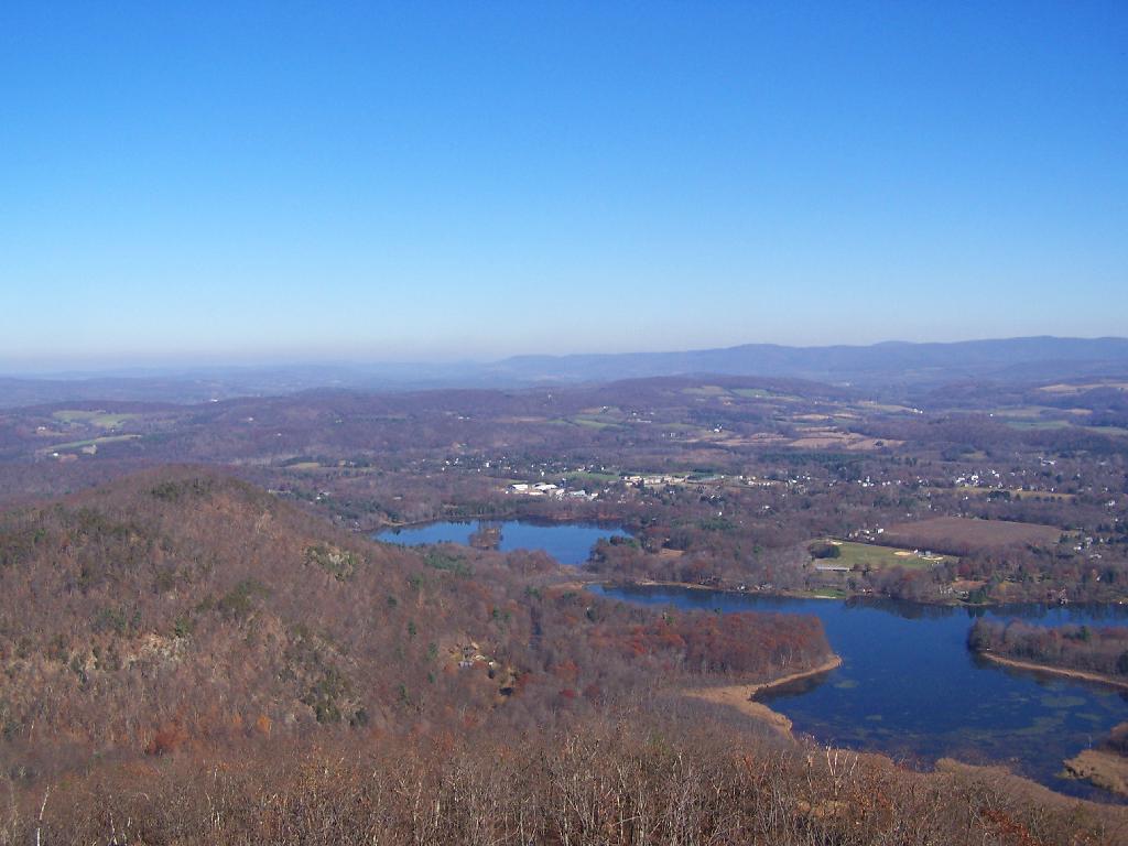
The Eleventh Tower: Rising 1,000 feet above the low lands of Pine Plains, this firetower gives you beautiful views of small towns, lakes, farmlands, mountains, and a five state region of the Hudson Valley on clear day.
This past year I have spent a great deal of time hiking up mountains and visiting fire towers. Here are pictures of the first five fire towers I visited this year, along with a short description and maps.
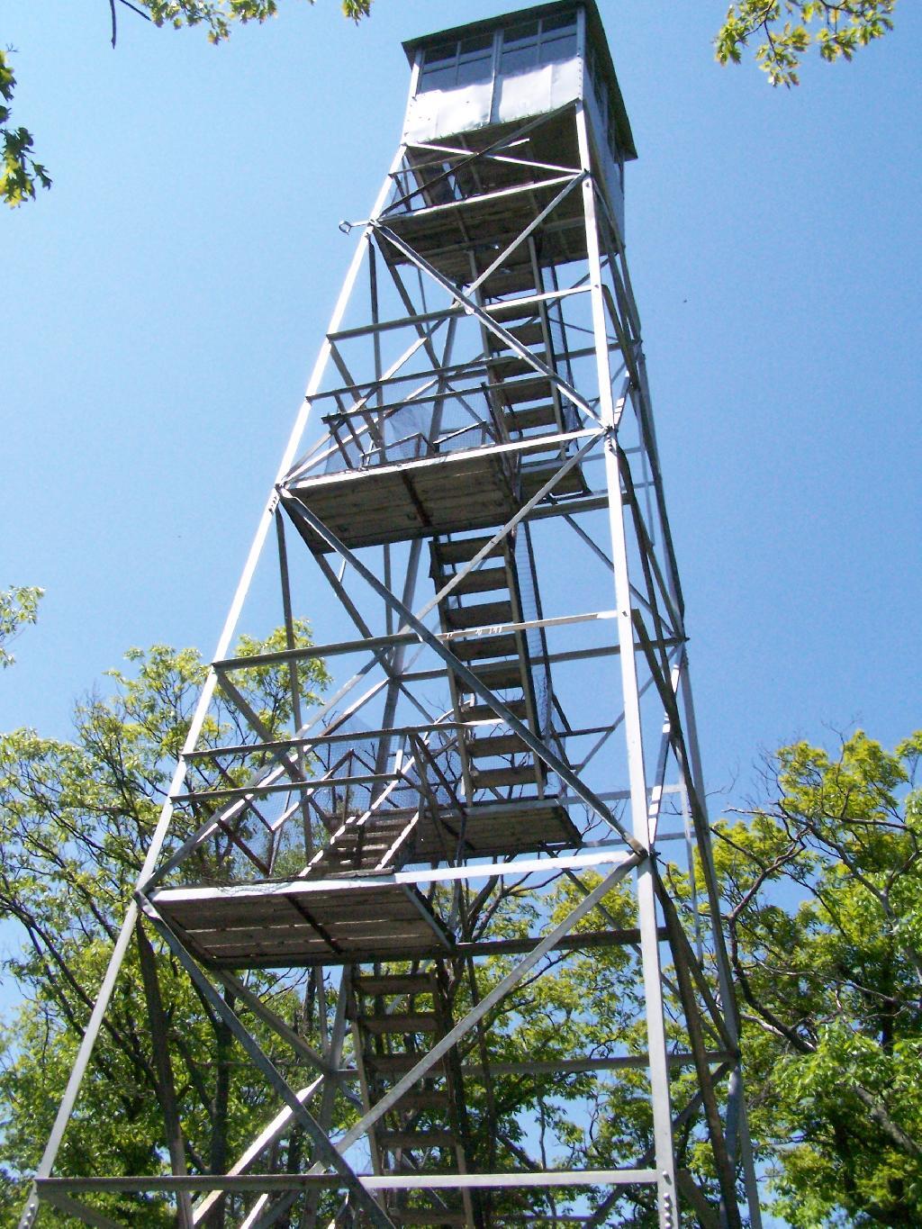
The first fire tower I climbed this year was Overlook Mountain Fire Tower outside of Woodstock. This tower is nearby the remains of the Overlook Mountain House and has some rather awesome views.
The second fire tower I climbed this year was Hunter Mountain Fire Tower outside of Hunter. This is the second highest mountain in the Catskills at 4040 feet. The views are less exciting compared to other mountains I’ve been up. I took the much steeper Beecker Hollow Trail, but one can take the longer horse trail in from the west side, if you don’t mind stepping in horse manure.
The third fire tower I climbed was Hadley Mountain Fire Tower in the Adirondacks near Hadley and NY 9N. This has some amazing views of the Great Sacanadaga Lake along with the Southern Adirondacks.
April 19, 2009 & August 2, 2009:
Beebe Hill Fire Tower
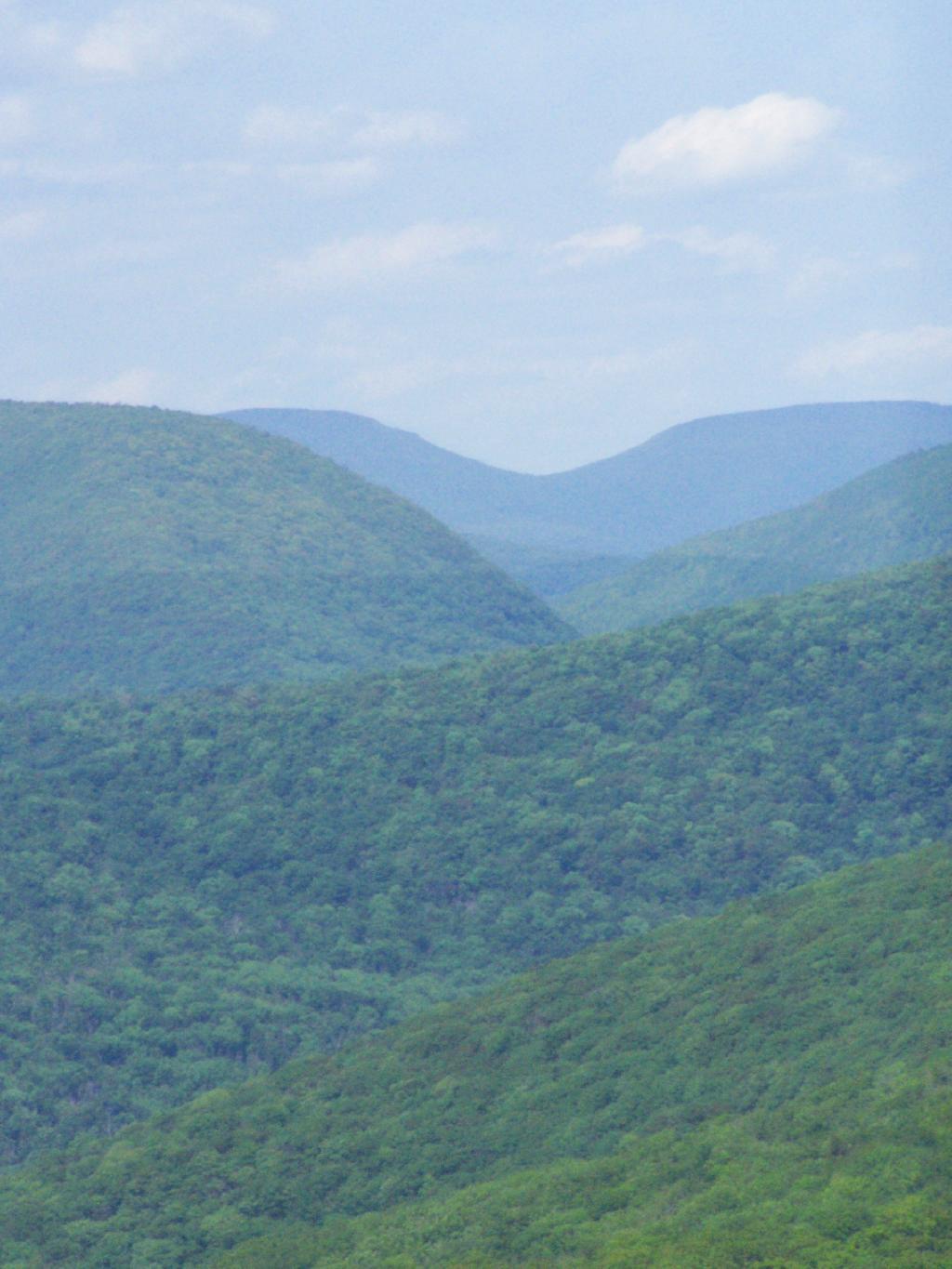
The fourth firetower I climbed this was Beebe Hill in the Taconics near Exit B3 of the NYS Thruway Berkshire Spur. It has great views of Northern Columbia County’s rolling country. There also is the Chance of Thunder Lean-to nearby the fire tower, so you can climb it up at night like I did one beautiful Saturday in August.
The fifth fire tower I climbed this was Mount Tremper in the Catskills. Despite having almost no views until you climb the tower, it does have some interesting views of the interior Catskill Mountains. It was a somewhat hot and hazy day when I climbed the mountain.
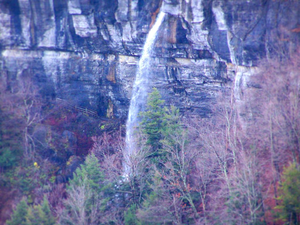
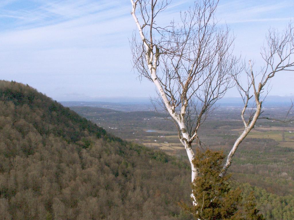
For my Sunday afternoon walk this afternoon I went up to Thatcher Park. It was 60 degrees out, and quite nice weather for late November. The previous day it had rained quite hard and water was coming out quite intensively from the Horseshoe Falls.
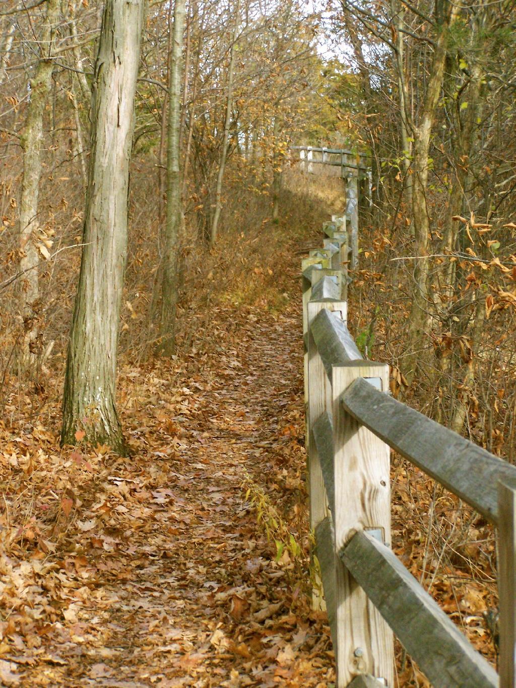
Walking along the fence line above the Escarpment on Horseshoe Clove.
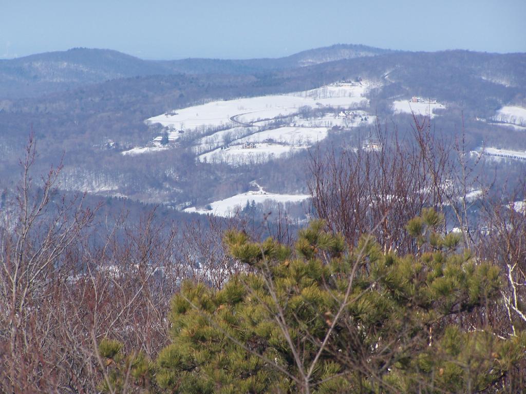
Looking south and at rather gray landscape off Thatcher Park.
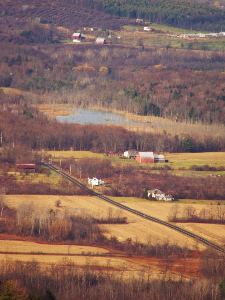
Farms outside of Altamont in the fall without the leaves.
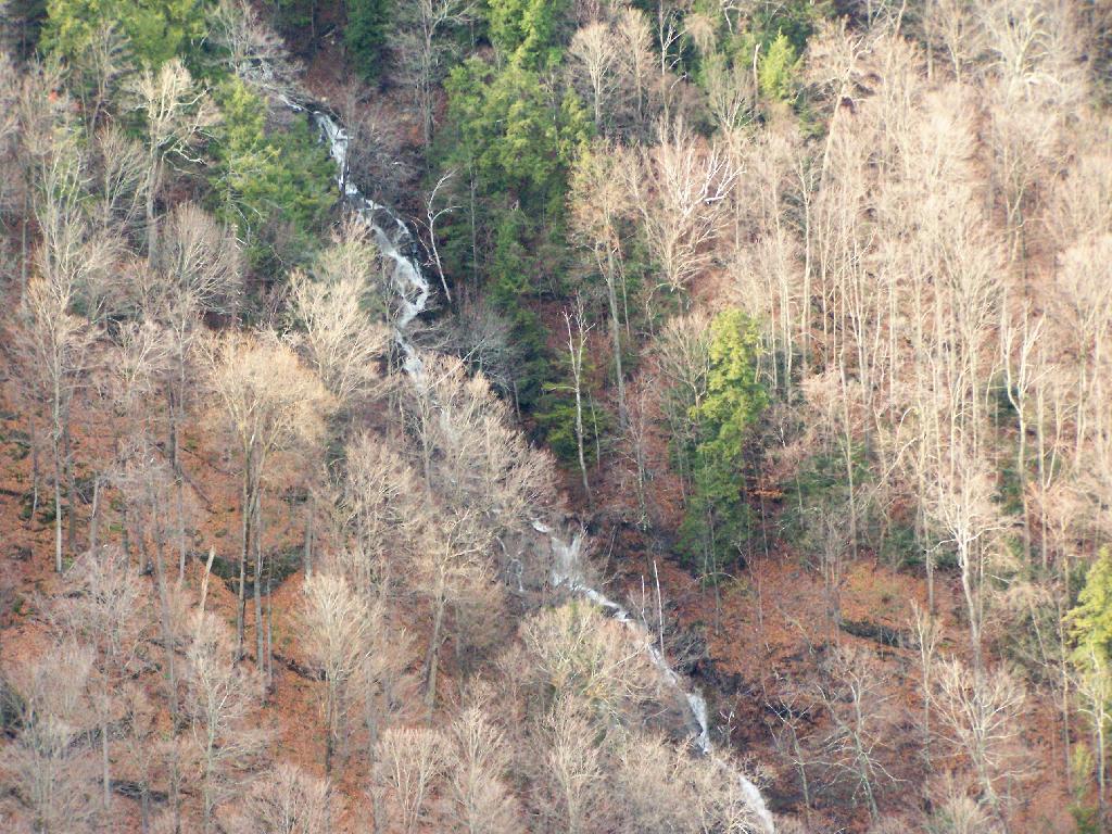
A stream of water coming north out of an upper clove.