There has been for quite some time some confusion in downtown Albany, on whether or not Hamilton Street is the Adirondack or Catskill Mountains. After all, this street is known as “Environment Row”, and is home to a cluster of environmental lobbyists, who think they represent the interests Adirondacks and Catskill Mountains.
Of course as Google Map informs us, Hamilton Street is nowhere near either the Catskill Mountains or the Adirondack Park for that matter. It’s kind of in the middle, in downtown Albany.
Of course, if you want, you can take Hamilton Street to South Swan Street (a one way street), which takes you to South Mall Arterial (an expressway), which ultimately takes you to Interstate 787 North, which you take until Alternate Route 7, and ultimately the Adirondack Northway, which within 60 miles takes you to the Adirondacks.
Alternatively, you can take I-787 South to the Thruway or NY 32, and get to the Catskills that way. So while Hamilton Street, is the most convenient way to get to I-787 Arterial to take you the Adirondacks or Catskills, it’s not either the Catskills or Adirondacks.
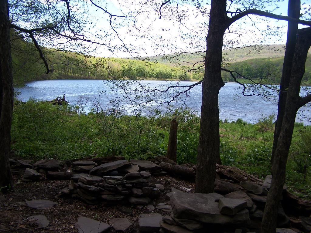
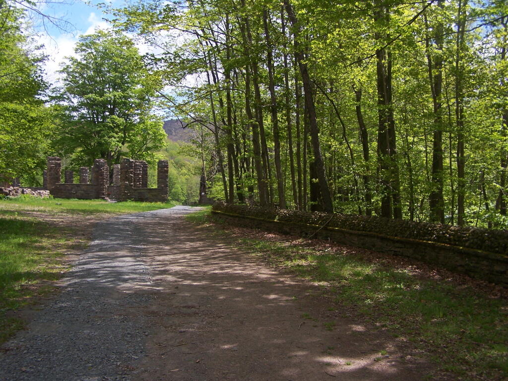
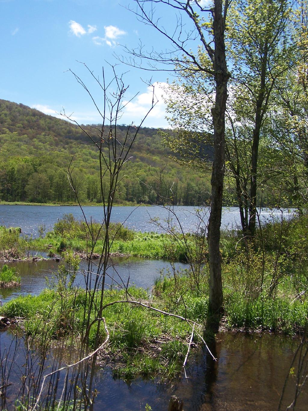
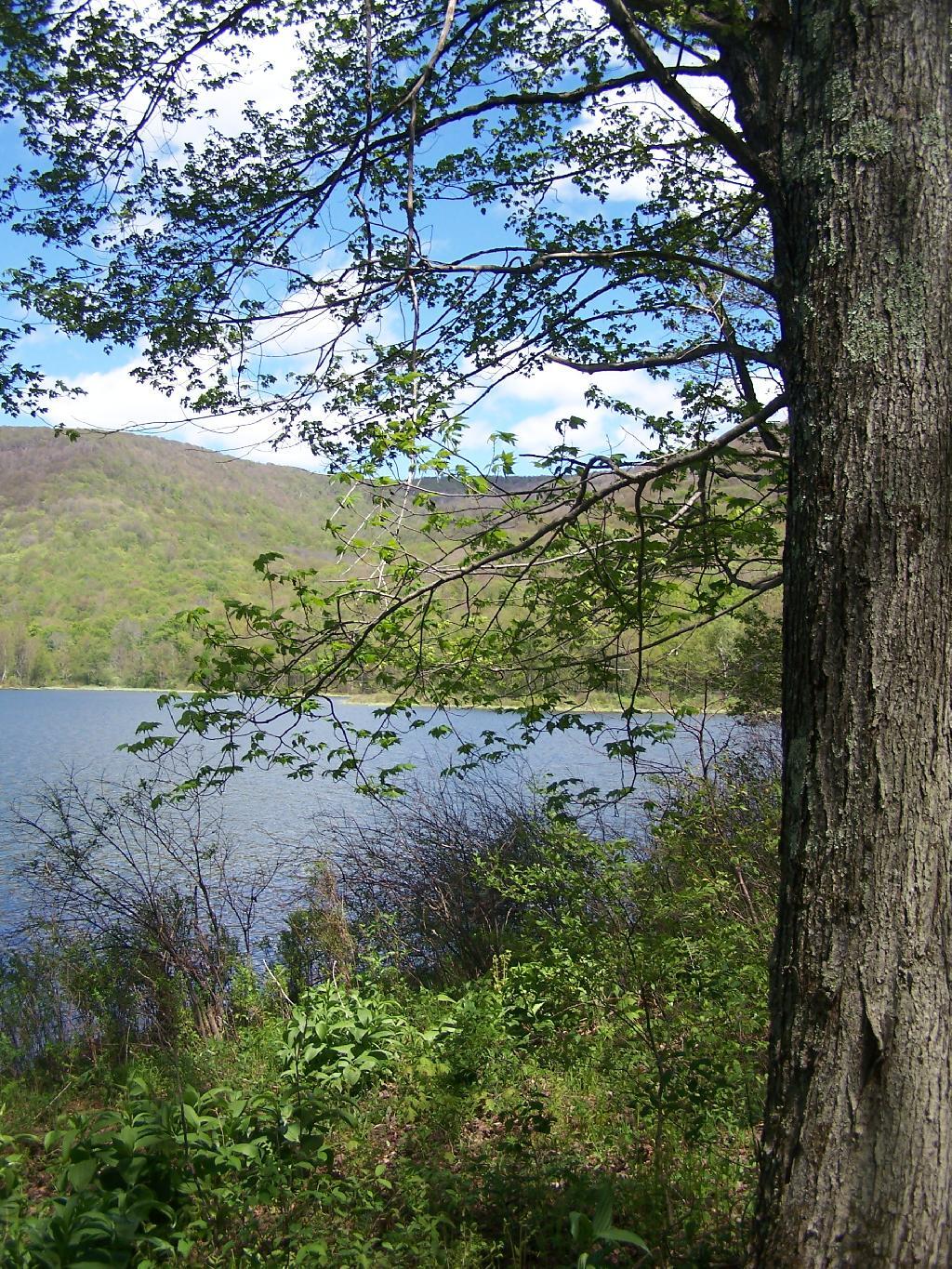
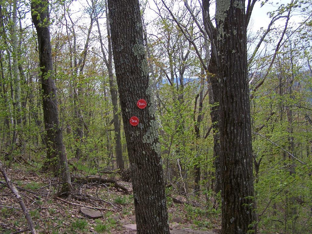
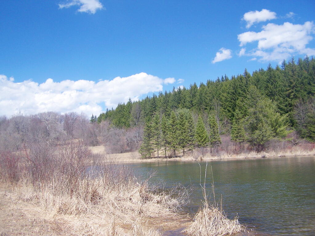
In the western Catskill Mountains, near Margretville and the Pepacton Reservior is Alder Lake, and old resort lake that is now State Forest, and offers primitive camping around the lake. It is backpack only in, however it is a short walk from the parking area to the approximately 7 designated primitive campsites around the lake.
The 77-acre man-made lake, is handsomely surrounded by a high mountains of the Mill Brook Range, and other unnamed mountains. It is a 6-mile hike to the east to get to Balsam Mountain, home of a fire tower.
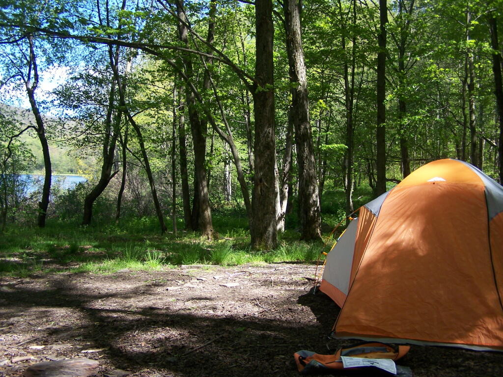
Setting up my tent at one of the campsites.
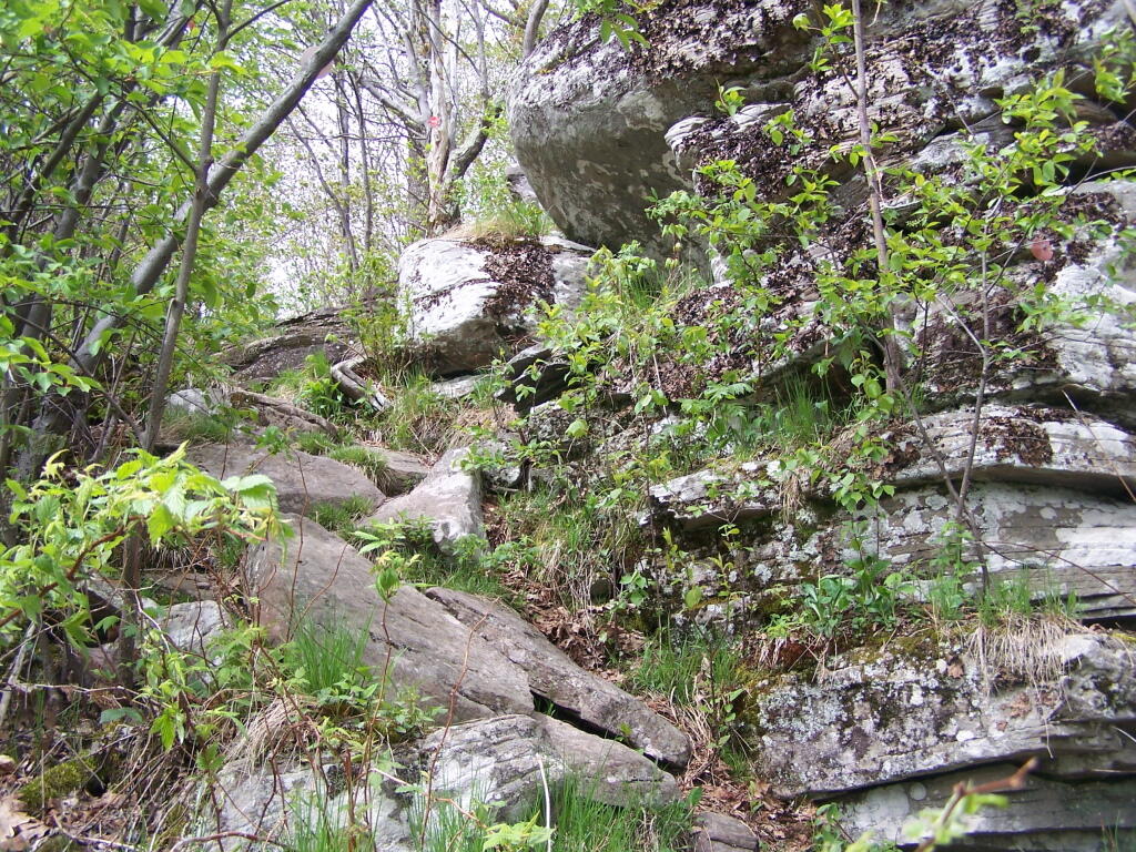
The 1.5 mile trail around the lake has several interesting views of the lake.
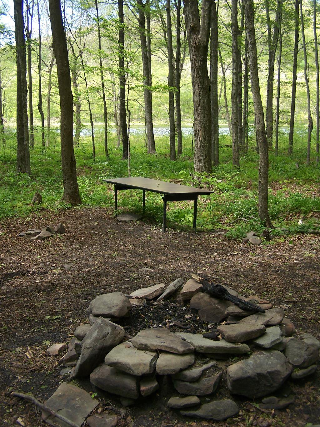
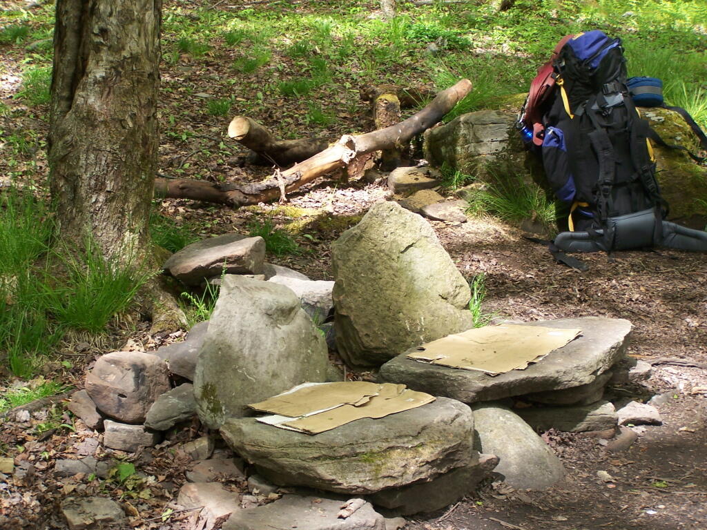
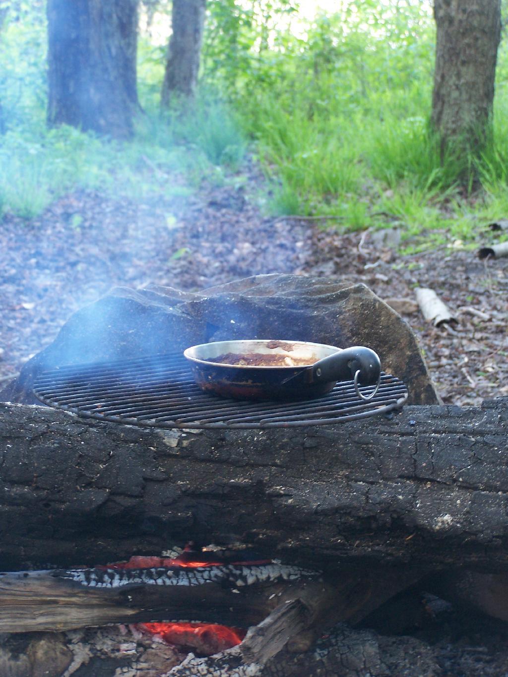
Several of the campsites have stone chairs, and other things made out of natural products.
Back when I was in college, I used to drive back and forth between Plattsburgh and Albany a lot. I used to try a variety of routes, some more indirect then others, to see the scenery, especially when I had extra time to burn in the afternoon.
1) Via the Adirondack Northway.
The most direct and quick way is via the Adirondack Northway (I-87) all the way up.
This route is moderately fast. There is some spectular secenry along NY 22 as you head from Whitehall to Ticonderoga, with sweeping views of Lake Champlain.
I quite often would take this route over the old Lake Champlain Bridge when I wanted to visit Burlington. The old bridge was beautiful, as is the landscape after you cross into Vermont. Burlington is an amazingly nice city too.
I used to come back via Burlington some times, by taking VT 22A through the dairy country of southern Vermont. The land is pretty flat, and VT 22A, but there are still some amazing views of the Adirondack Mountains along this route.
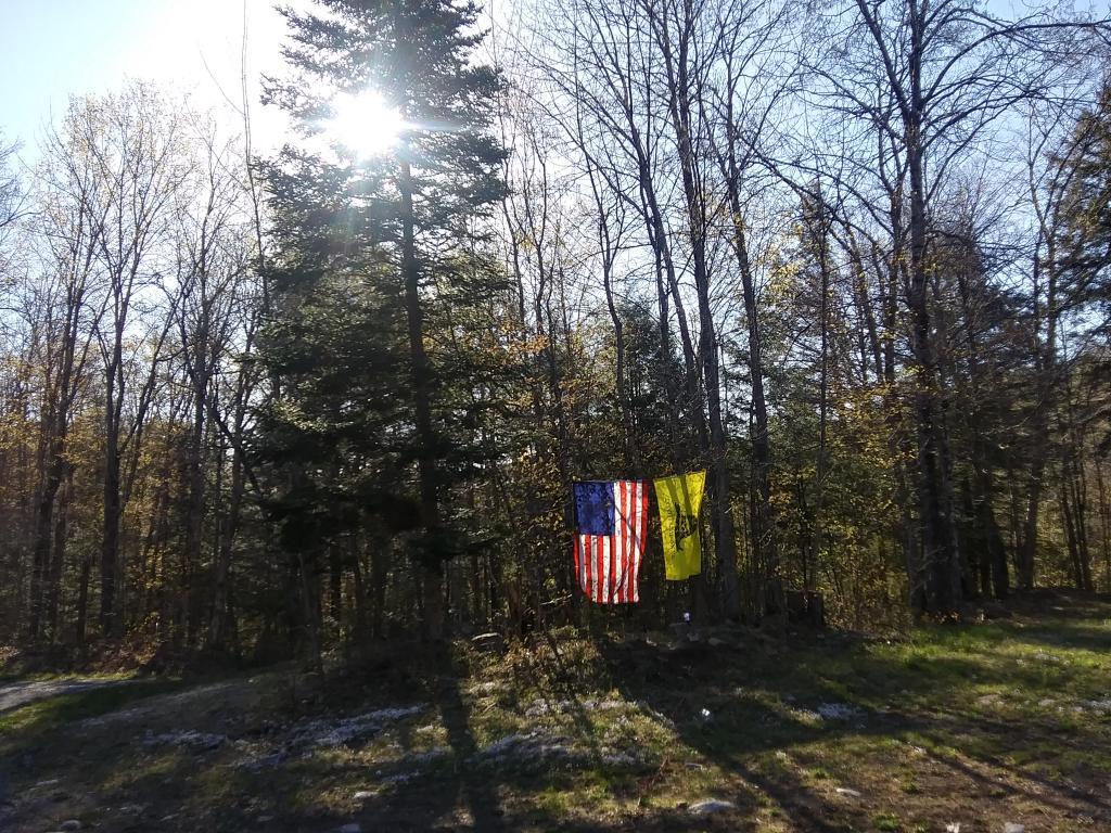
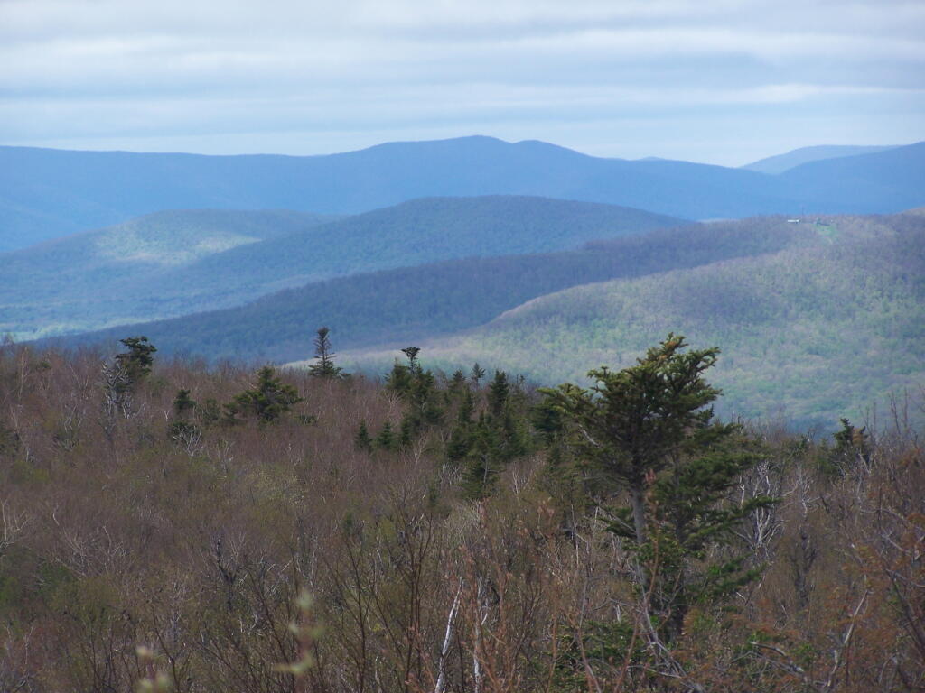
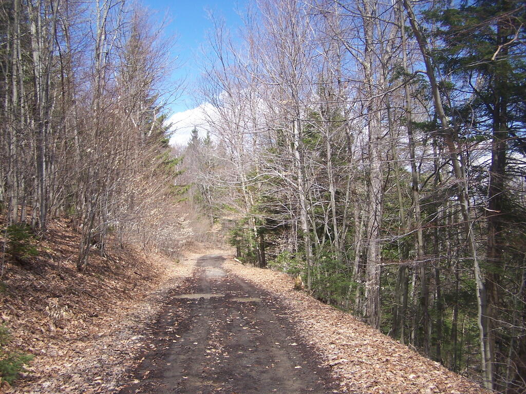
Two weekends ago I went out hiking on a portion of the Blackhead Range, known for it’s Rooster Comb that it visible from most of the Catskills and Albany. Heading down there, I missed the turn-off to Barnum Road, which is a side road marked with a “Forest Preserve Access” sign from County Route 40, just as you head south out of Maplecrest.
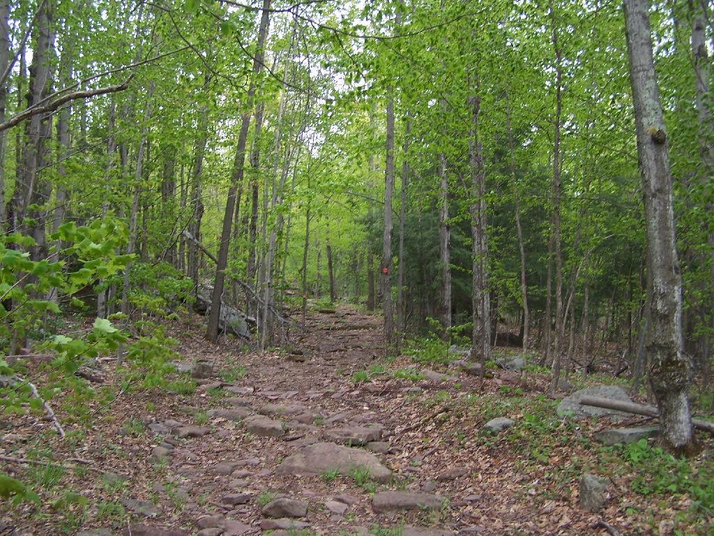
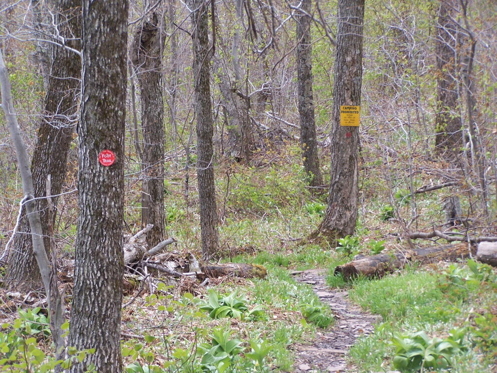
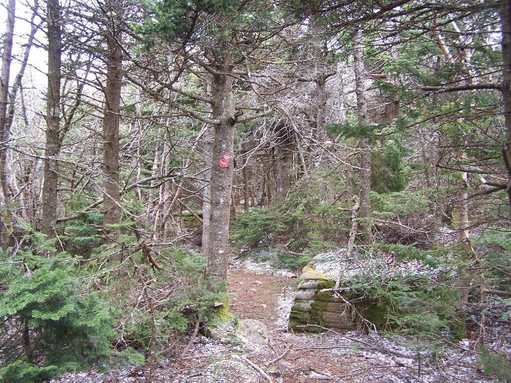
The first part of the trail follows the right of way of the Old Barnum Road, until you access the Blackhead mountain Wilderness, and the kiosk welcoming you to the trail.
The trail up the mountain starts out gentle, then follows a series of switchbacks.
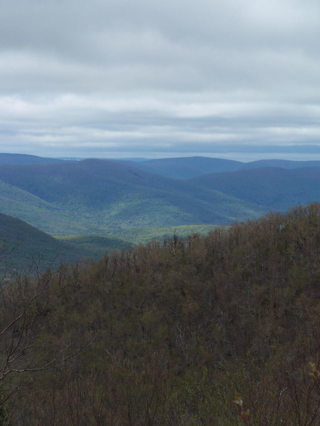
Then there is one steep portion, with some beautiful broken views of the East Kill Valley.
And of Devil’s Clove.
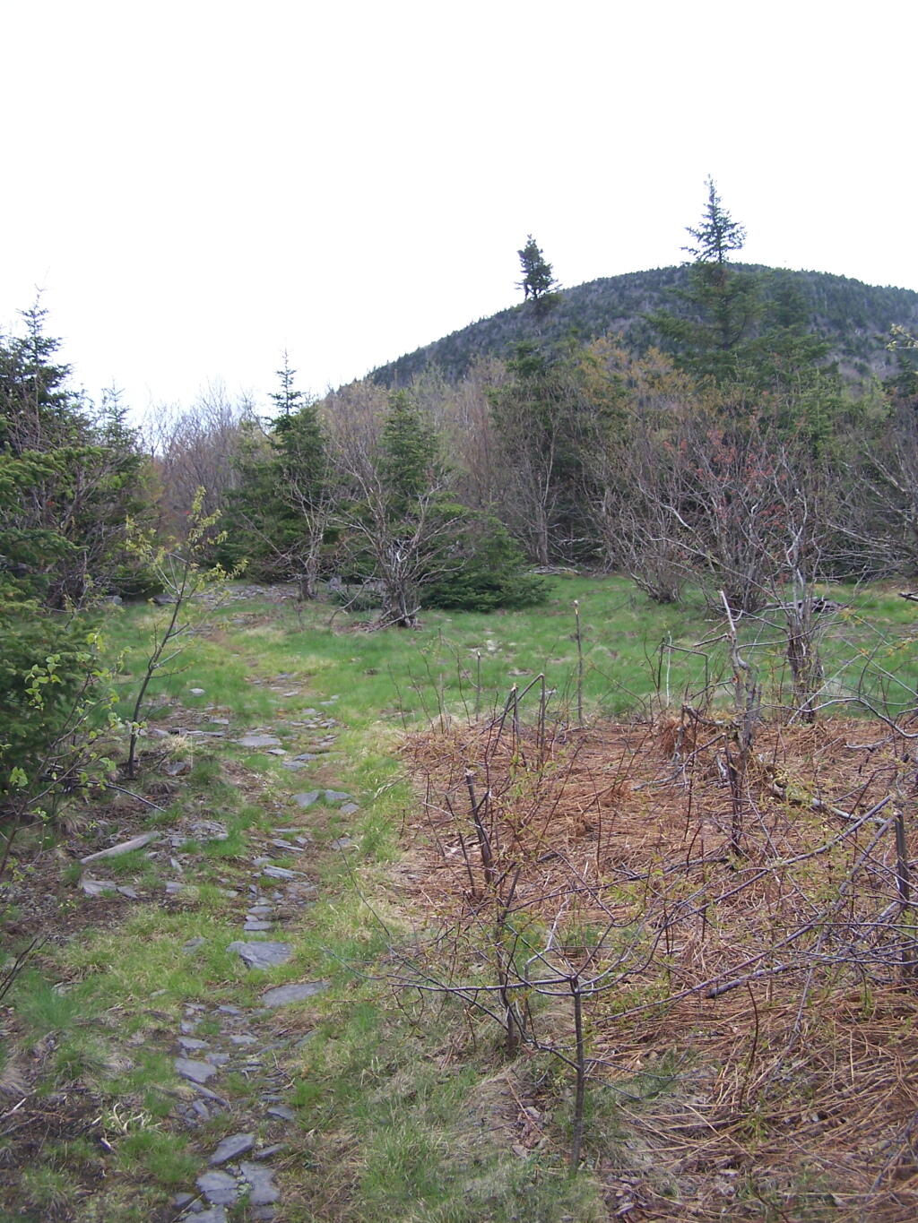
One you reach the unnamed mountain west of Camel’s Hump, the trail is relatively flat, with signs reminding people not to camp too close to the trail.
Looking at Camel’s Hump with Blackhead in the background.
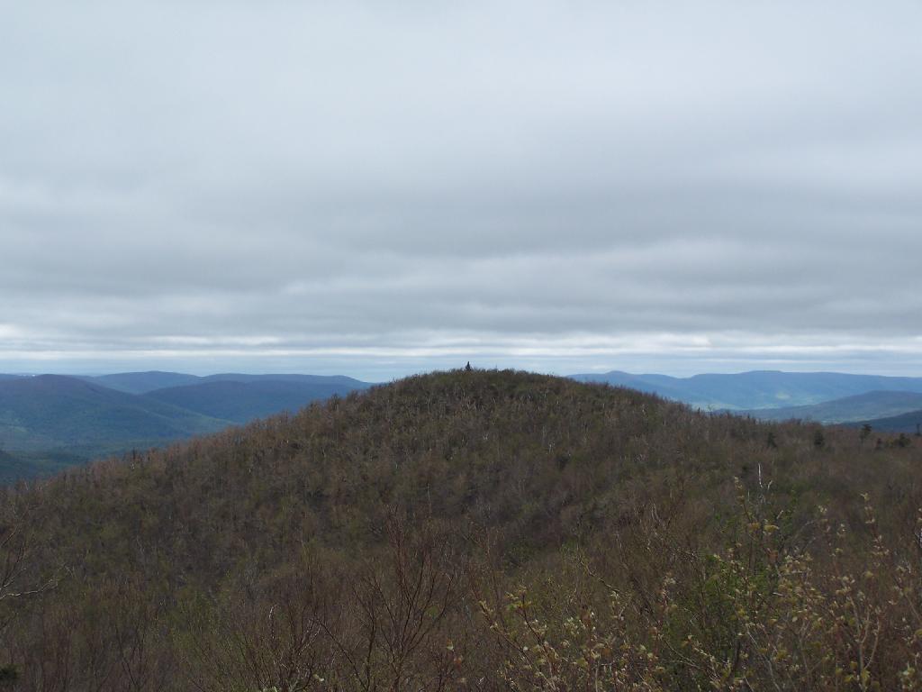
Reaching the top of Camel’s Hump.
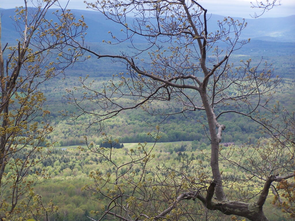
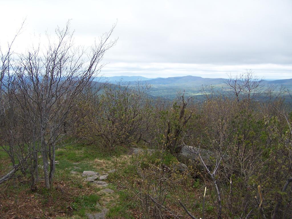
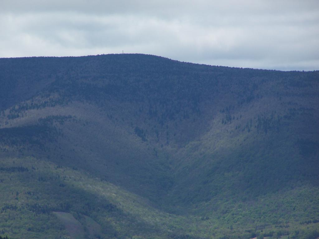
Looking off Camel’s Hump at Mount Hayden and the ridge you see to the north-west of Windham Mountain.
Thomas Cole Mountain’s “Black Head” from the Pine Stand, as seen from Camel’s Hump.
North-West from Camel’s Hump you see Acra Point and Huntersfield Mountains.
The flat “col” between Thomas Cole and Camel’s Hump, with Thomas Cole in the distance.
Looking at Camel’s Hump from Thomas Cole Mountain’s clearing.
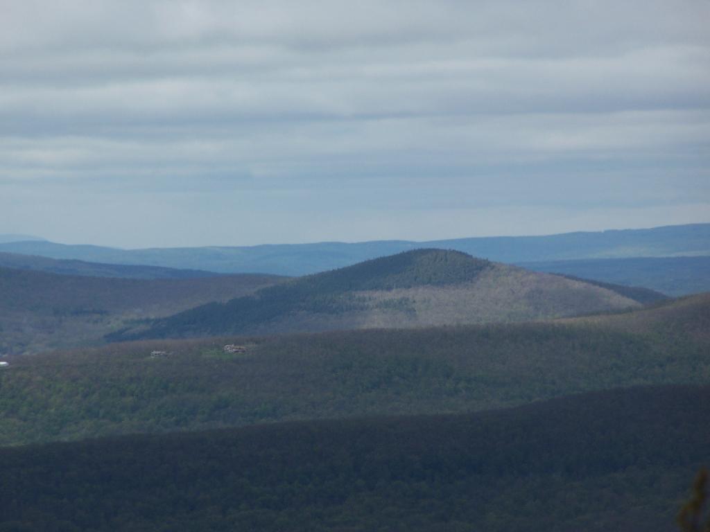
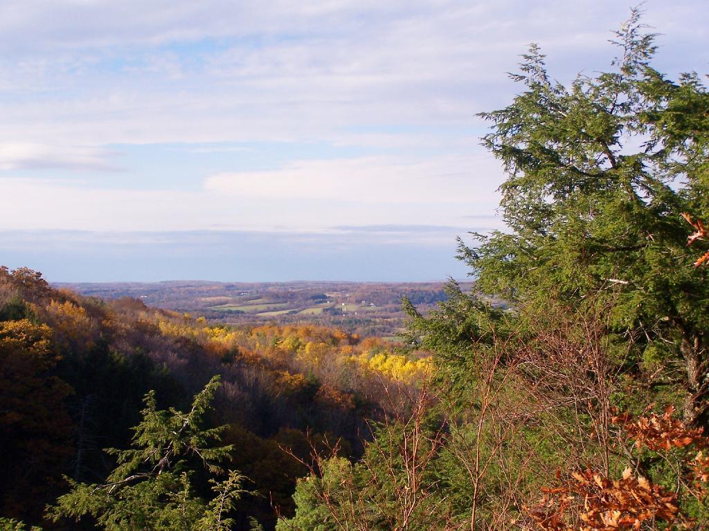
From the Thomas Cole Mountain’s clearing, looking at Hunter Mountain and how the bottom of the mountain is bright green, while the top of the mountain is largely leaf less.
The view of Evergreen Mountain, and the valley to the west of Hunter.
The dense pine forest a top of Thomas Cole, with some snow remaining.
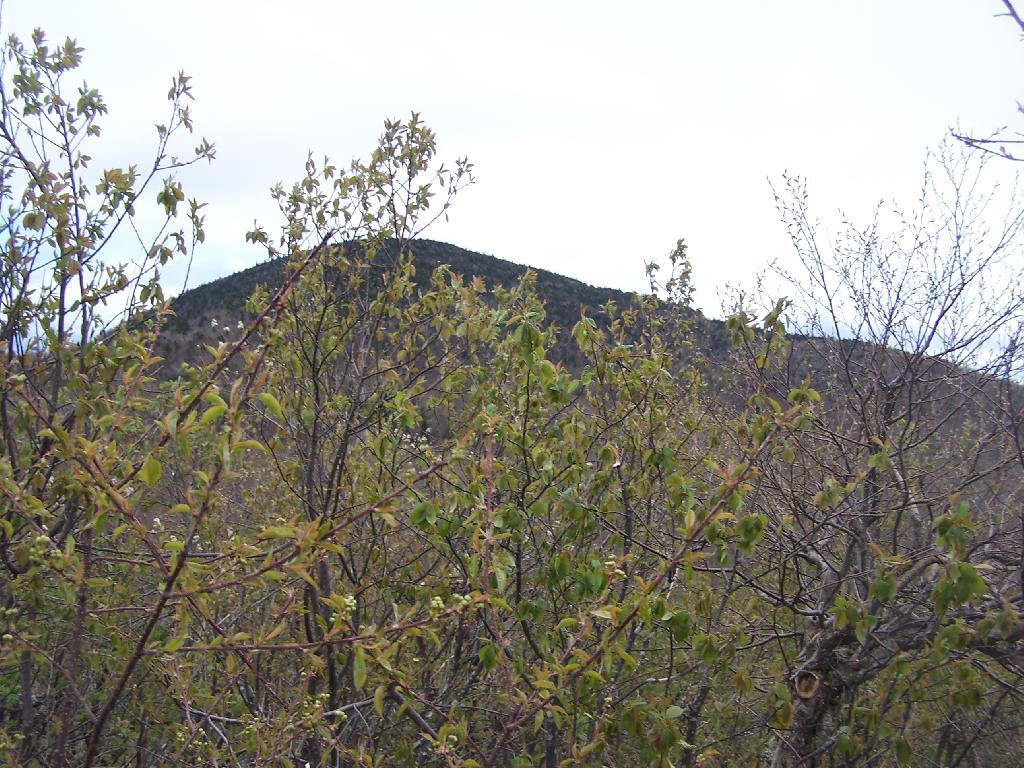
A broken view of Burnt Knob from Thomas Cole Mountain.
For today’s fodder, we will be checking out some of the land features of Partridge Run from Google Maps Satellite pictures.
1) The Gulf.
The Gulf is one of the most notable features of Partridge Run. A deep cut into the land, it’s cliffs are steep. Going in their, you find plants and animals that can survive only with darkness for long periods of time.
This is the gravel pit off of Peasley Road. It’s the biggest gravel pit at Partridge Run, and always an interesting place to explore, with shot up targets and other interesting places.
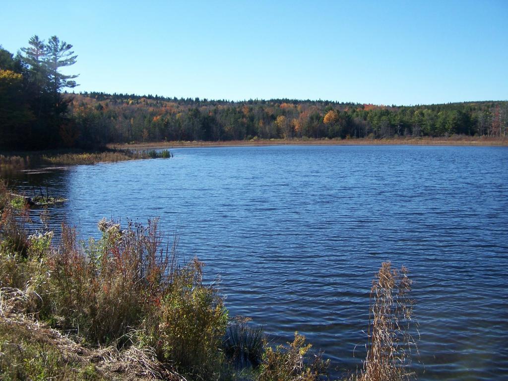
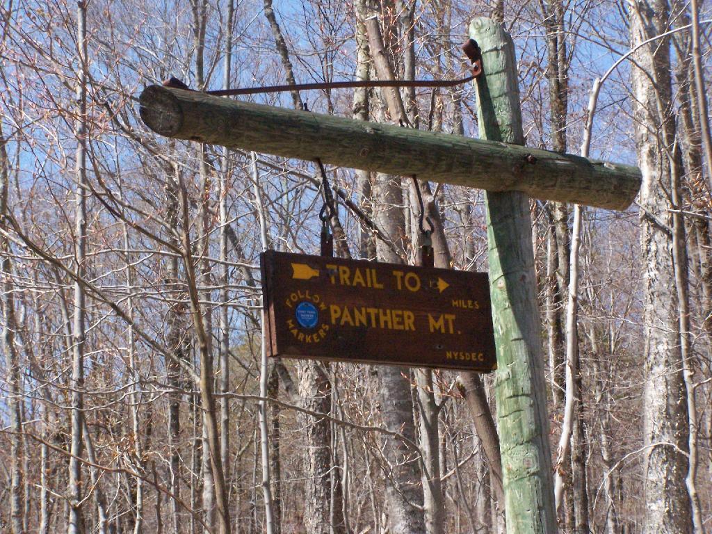
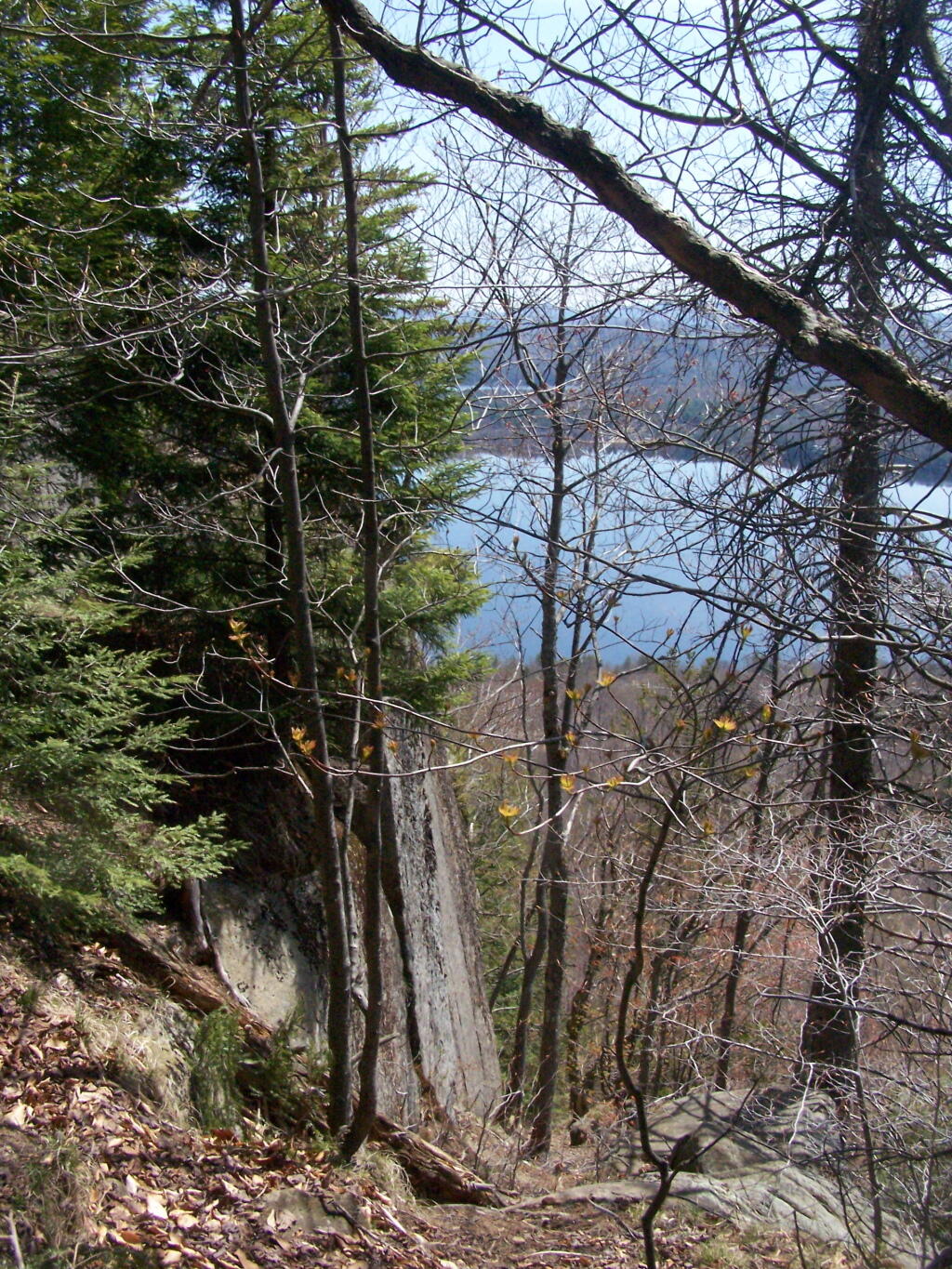
The Echo Cliff of Panther Mountain overlooks the Piseco Lake, Spy Lake, and Oxbow Lake, along with mountains and points east. The trail that goes up to Echo Cliff is labeled “Panther Mountain”, however the trail does not ever reach the ascent, but dead ends at Echo Cliff.
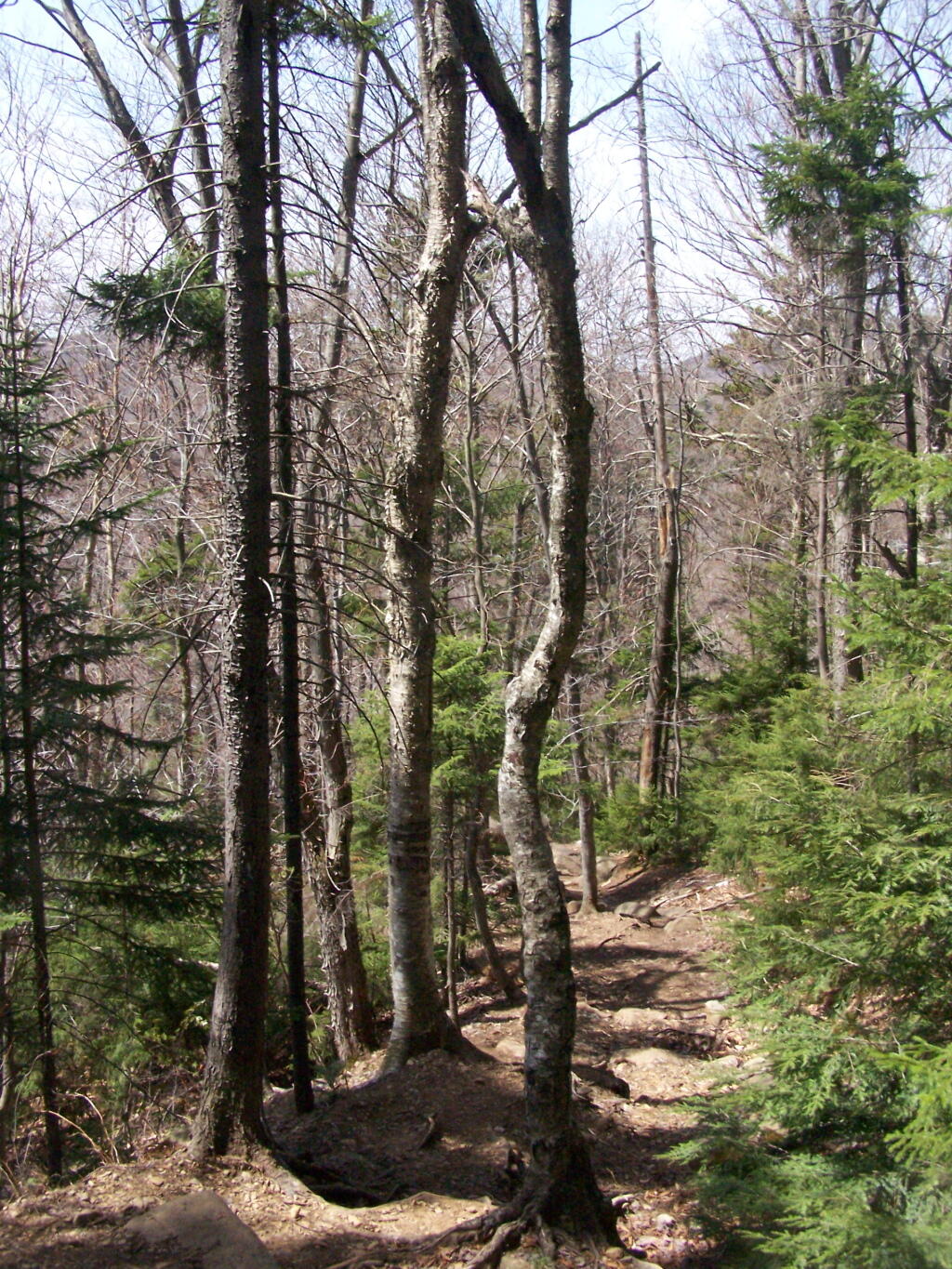
A beautiful day hiking up the trail for sure. The sun was bright, and I kept slapping on sunscreen. It was even a bit warm, not surpising for April 24th.
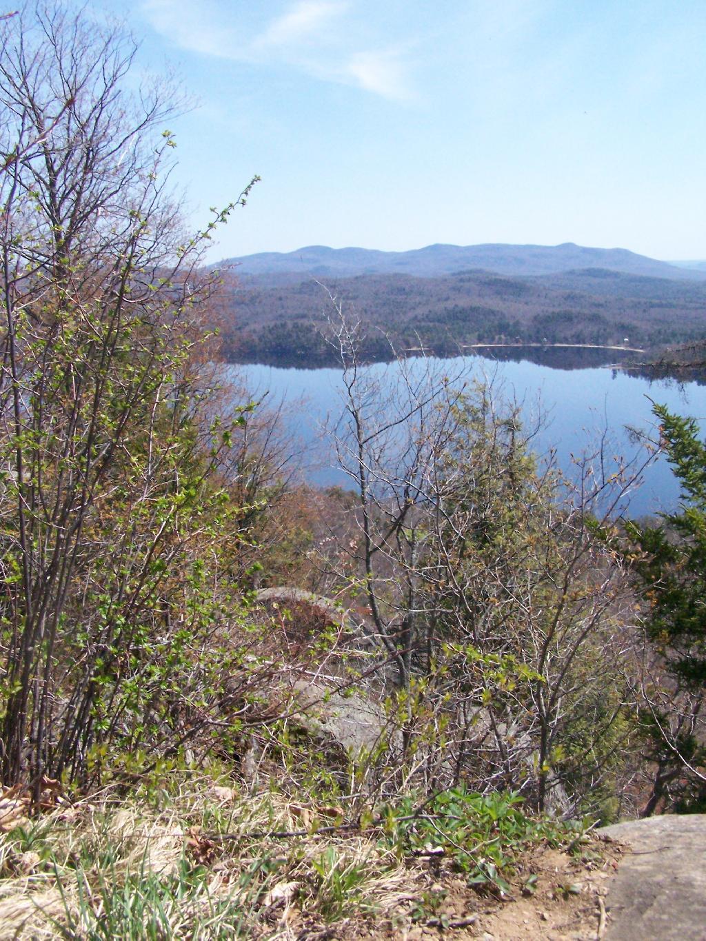
Reaching the top of the trail, almost up to Echo Cliff. The beauty of the mountaintop approaches.
Reaching the top, the beauty was amazing, as I looked across Piseco Lake with the trees just starting to green up.
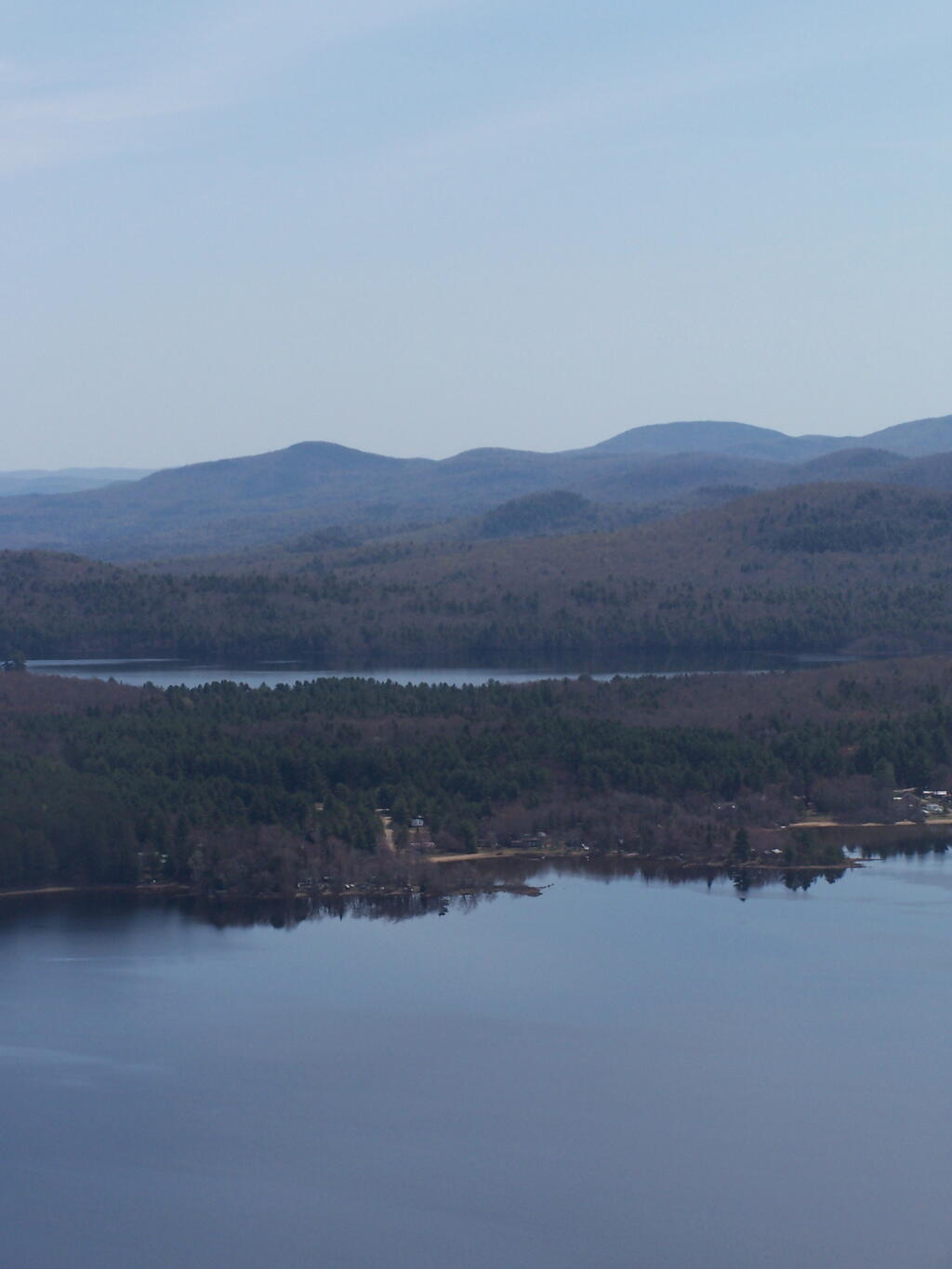
Across the Lake to Popular Mountain and Oxbow pond.
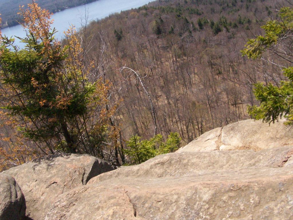
Sitting along the edge, looking at the land and lake below.
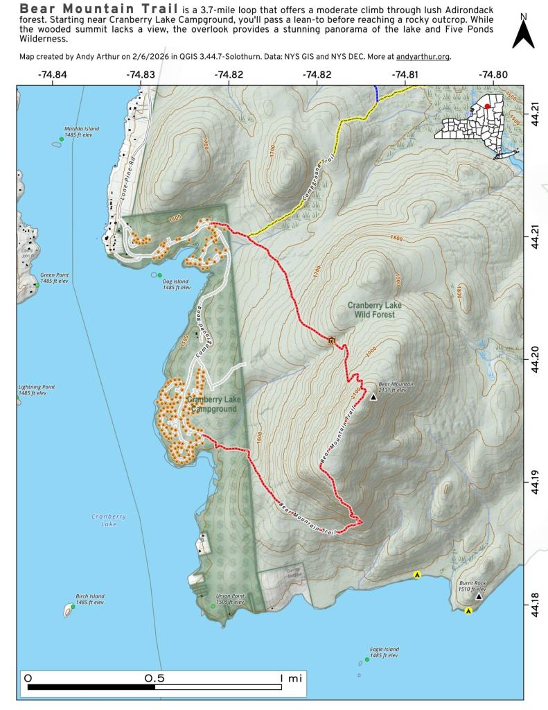
Here is map of the hike. It’s quick, 30 minute each hike each way. If your up this way, do make this hike. I some day may want to hike this prior to sunrise, and watch the sun rise on this mountain.